Hiking in Bornholm: 120 km Around the Coast
Denmark's granite island circled by a 120 km waymarked coast path: the real stage distances, the day that earns the week, and where the beds run out first.

Suzana
Published September 7, 2026
Edited October 8, 2026
14 min read
Don't want to read all this?
We've planned 2,000+ hiking trips. Send your dates, fitness and group size — we'll map the route and book every night.



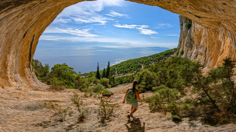
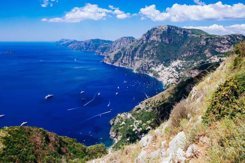
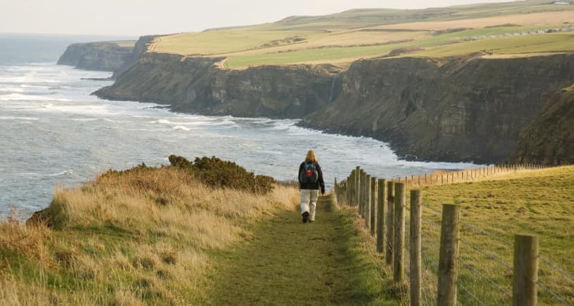
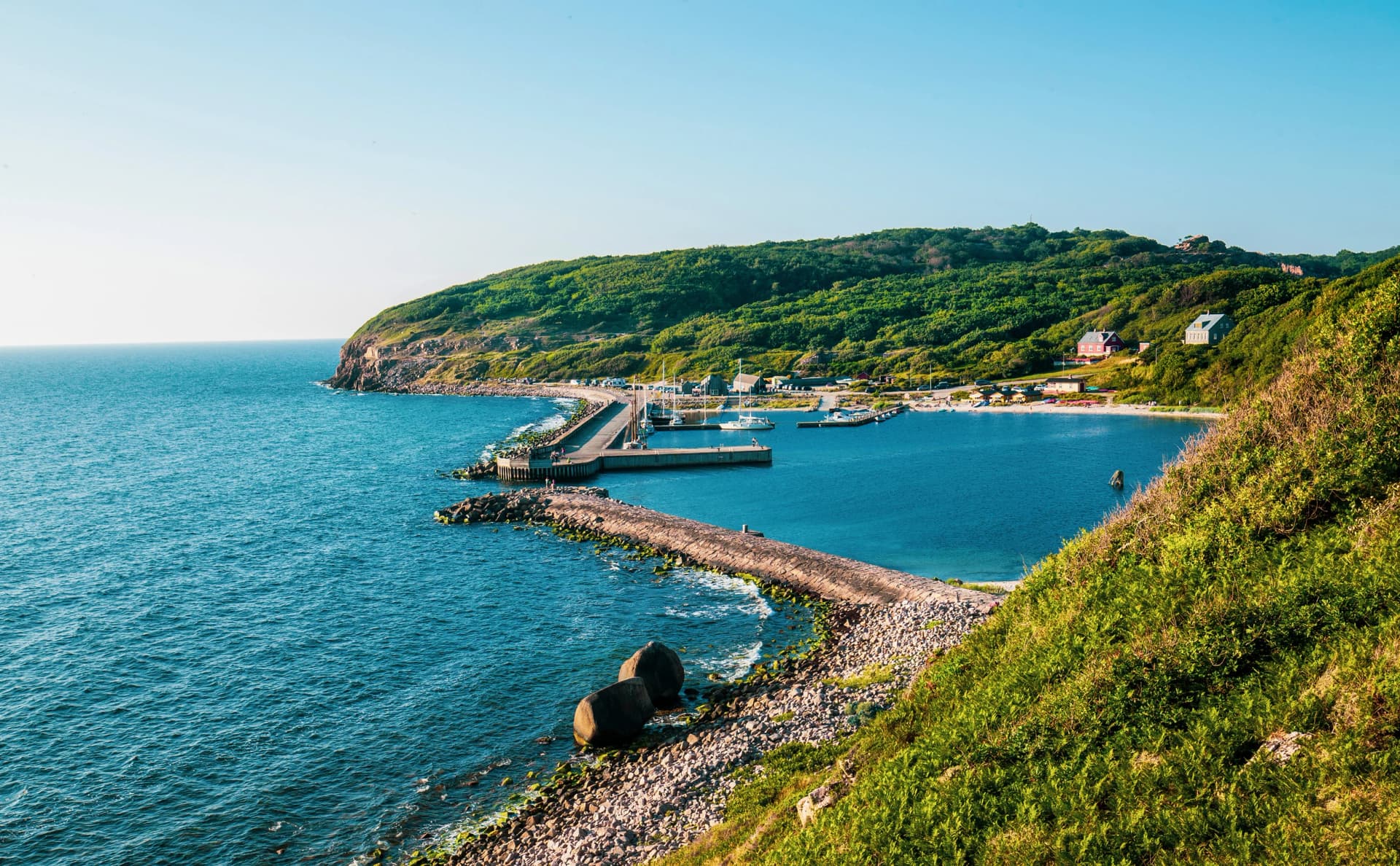
Bornholm hiking means one thing above everything else, which is the coast. This granite island sits in the Baltic closer to Sweden than to Copenhagen, and one waymarked trail circles almost all of it.
That trail is the Kyststien, which is simply Danish for the coastal path, so in English you will also see it called the Bornholm Coastal Trail or the Bornholm Coastal Path. All three mean the same route: roughly 120 kilometres through fishing villages, forest and open headland, starting and finishing in Rønne and usually walked in seven stages. At a relaxed pace that is seven to ten days, and walkers covering more ground each day close it in five or six. The wider picture sits in our guide to hiking in Denmark.
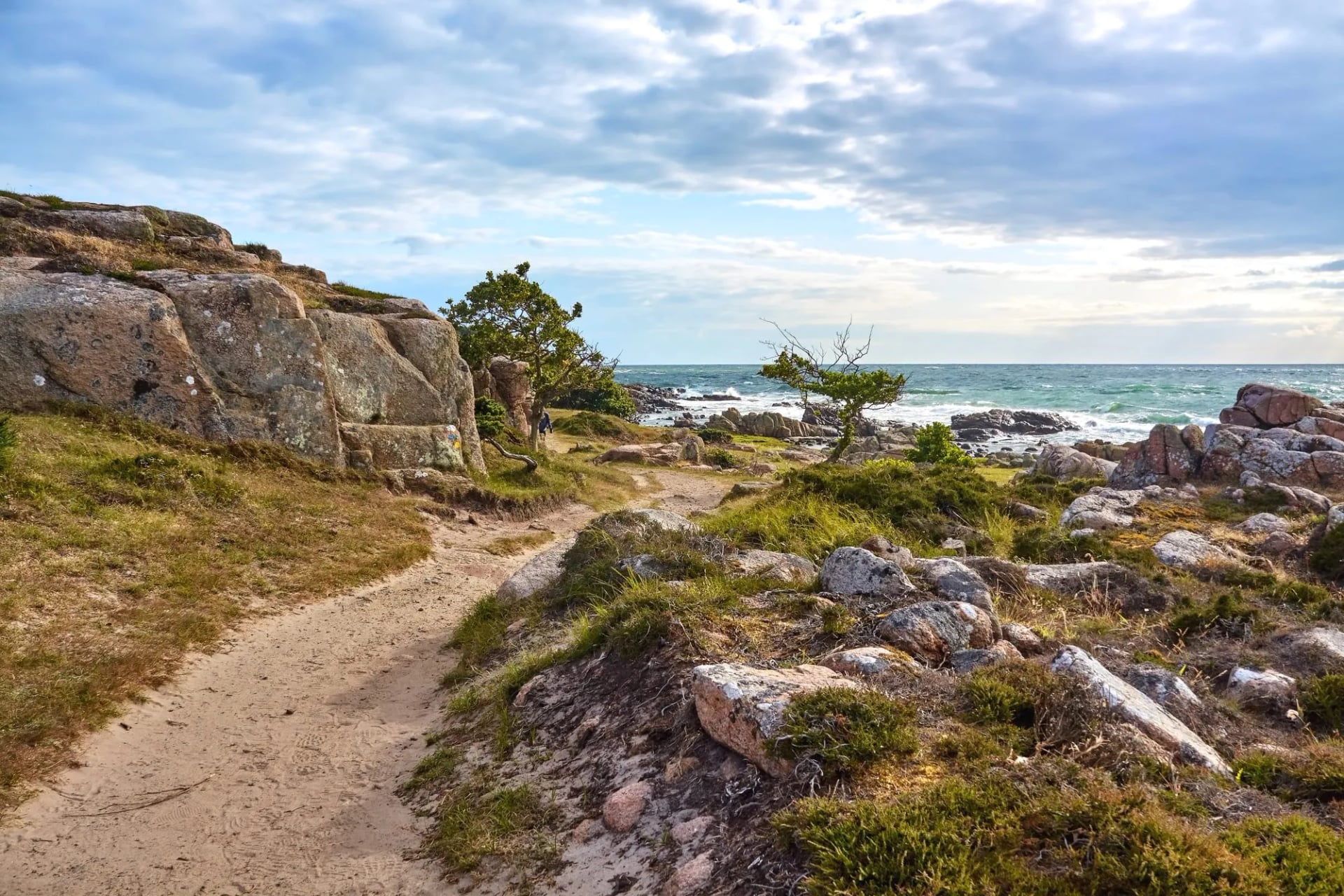
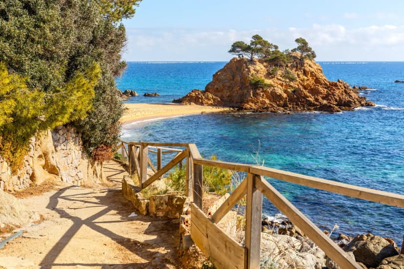
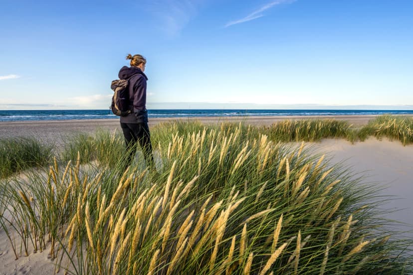
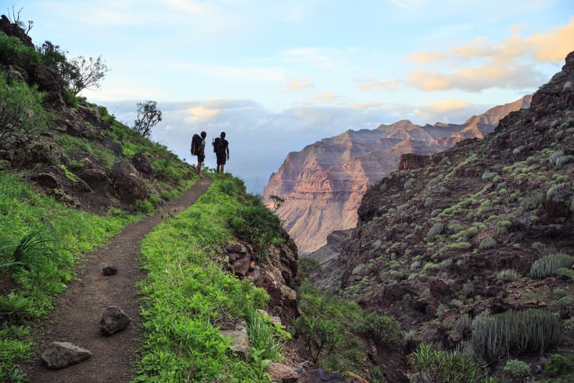
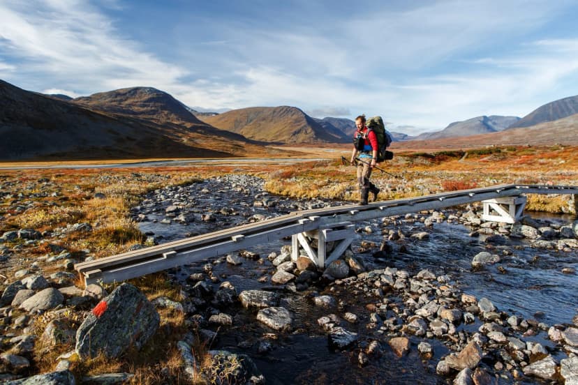
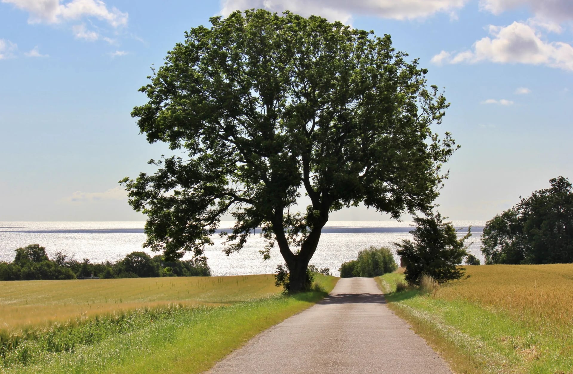
The terrain shifts more than one trail has any right to. Granite headland and rocky promontories in the north, sandy beach walking in the south, and forest track joining the two, which is why the same loop can feel like three different walks.
Below is the route day by day with the real distances, plus the things worth knowing before you go: how hard it actually is, when to come, how to reach the island and which day carries all the climbing.
Quick Facts and Trail Map
Trail: the Kyststien, a waymarked loop of roughly 120 km around the island
Usually walked in: seven stages, one a day, from and back to Rønne
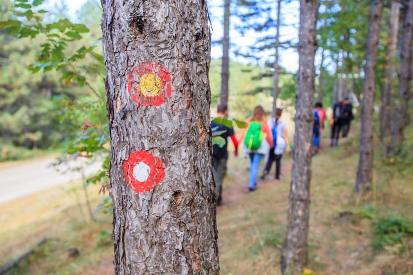
Waymarking: orange signs with a white walker symbol, the whole way round
Season: May to September, when the small inns along the route are open
Permits: none
Maps: the Danish Nature Agency's udinaturen.dk covers the island’s routes and the facilities on them, shelters and water points included
Our version: nine days and eight nights, inn to inn, 114 km of walking over seven days
Daily distance on our days: 10.5 to 19.5 km
Biggest day: day three, 17 km with 355 m of ascent, past Hammershus and Hammerknuden
Grading: 3 out of 5 for fitness, 1 out of 5 for technical
Bornholm Hiking Stage by Stage
The seven stages become nine days once arrival and departure are allowed for. The distances and the climbing fall like this.
Day 1, arrival in Rønne: the flight or the ferry in, and the rest of the day free in the island's capital
Day 2, Rønne to Hasle: 10.5 km, 40 m of gain, a gentle opener north through forest and small villages
Day 3, Hasle to Sandvig: 17 km, 355 m of gain and 350 m of loss, past Hammershus and Hammerknuden
Day 4, Sandvig to Gudhjem: 17.5 km, 260 m either way, rugged coast past Opalsøen and Døndalen
Day 5, Gudhjem to Svaneke: 15.5 km, 180 m either way, by Østerlars and over Paradisbakkerne
Day 6, Svaneke to Snogebæk: 15 km, 70 m of gain, coast and inland forest with Balka Beach on the way
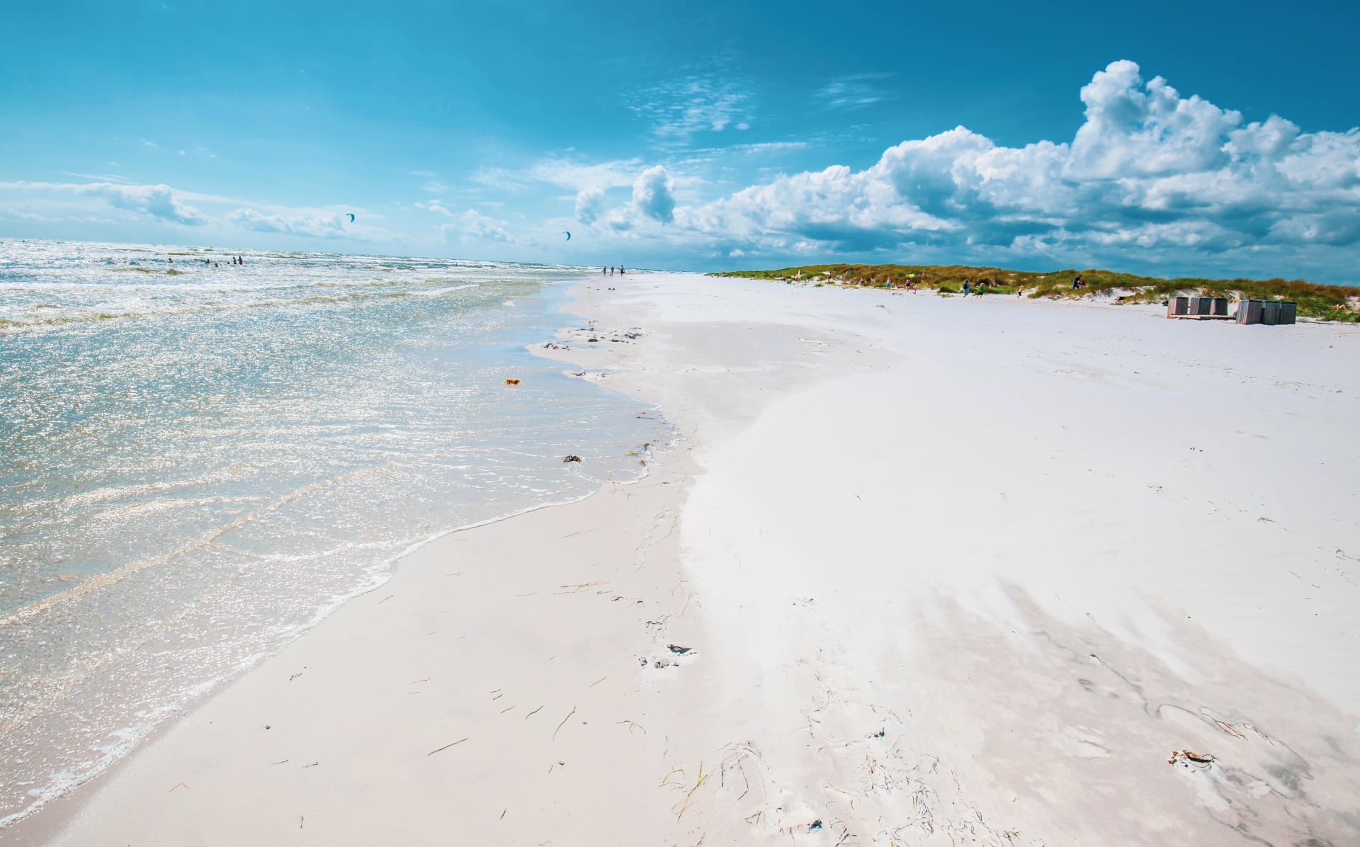
Day 7, Snogebæk to Boderne: 19.5 km, 60 m either way, the longest stage, built around the white sand at Dueodde
Day 8, Boderne to Rønne: 19 km, 260 m either way, the second longest, closing the loop
Day 9, departure: a free morning in Rønne, or the point to extend and stay longer
Day 3 is the one to look at twice. Seventeen kilometres, 355 metres of gain and 350 of loss, and the day the island's granite backbone finally shows itself.
The path climbs the cliffs to Hammershus, the largest medieval fortress ruin in Northern Europe. It sits on a granite bluff above the sea rather than tucked inland the way most Danish castles are, and the ground underfoot is rockier here than anywhere else on the loop.
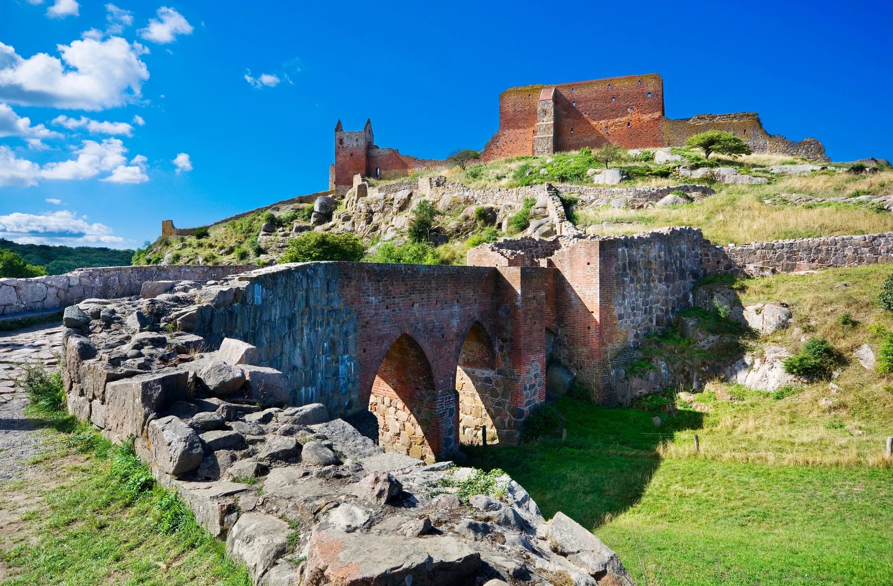
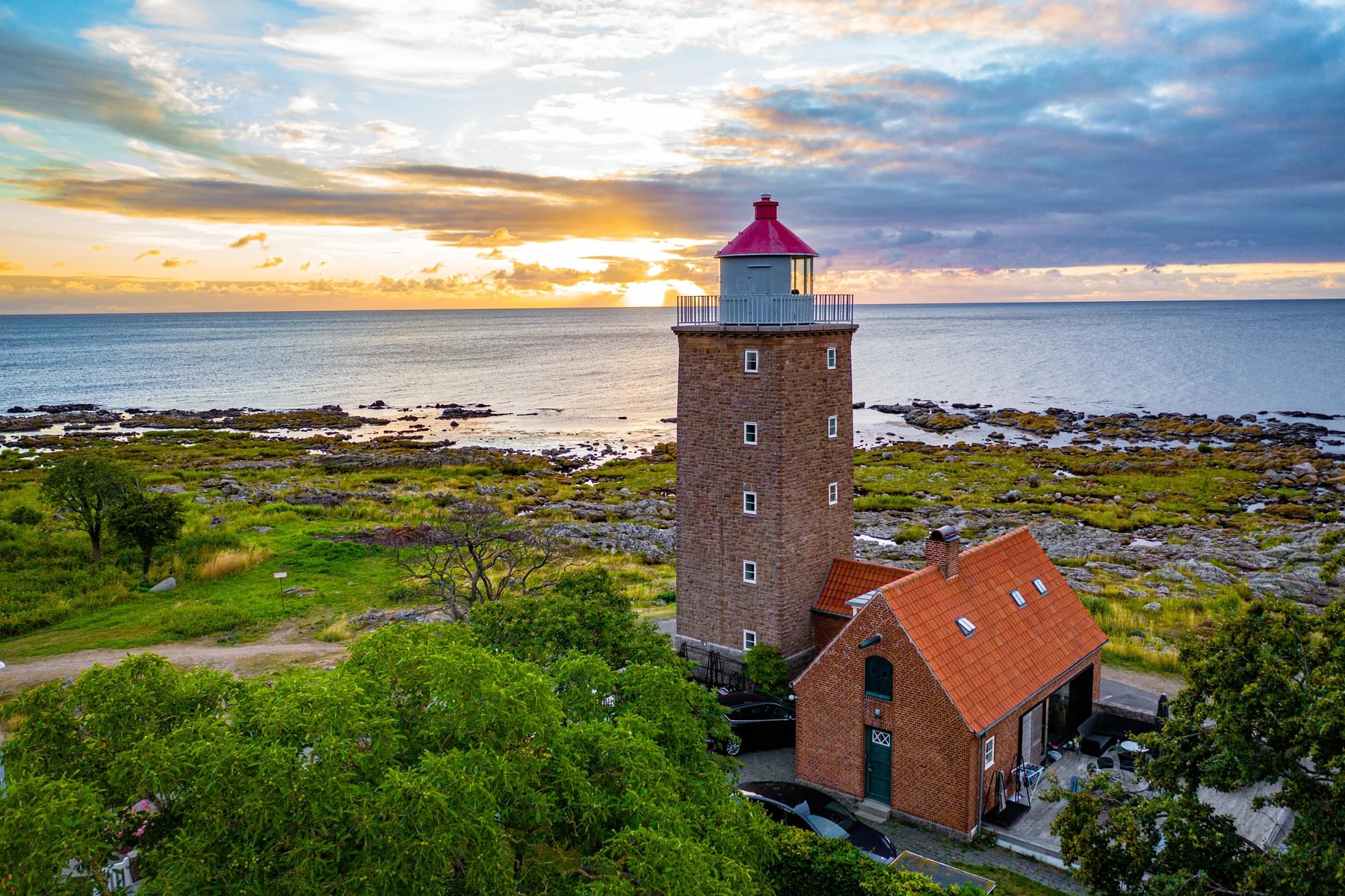
Hammerknuden, just past it, is the part people actually remember. The headland runs out into open water on three sides and the surface turns to boardwalk and cropped grass instead of bare rock.
There is a lighthouse at the end of it and nothing between you and the Baltic. That is glorious in still weather and punishing in a northerly, so it is the one stretch of the week worth timing for the afternoon rather than the morning, when the light comes off the water instead of into your eyes.
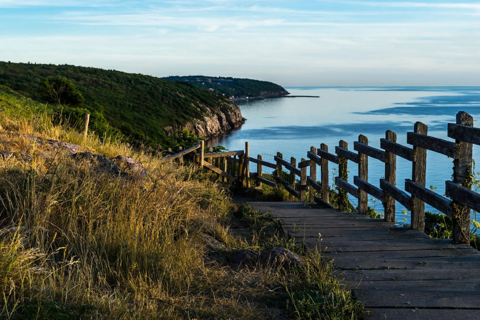
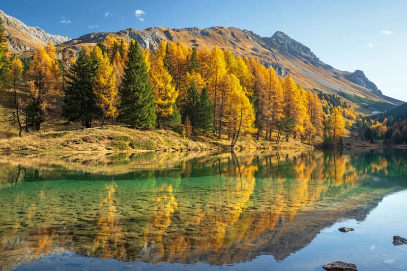
Day 4 is the strangest of the week. Early on, the trail passes Opalsøen, a lake filling the old Hammerbruddet quarry, which was worked from the 1880s until 1971 and is now deep enough that nobody stands up in it.
Then it drops through Døndalen, the thunder valley, which holds Denmark's tallest waterfall at about twenty metres. That is a modest number anywhere else and a curiosity here, and it comes at the point in the day when a shaded ravine is welcome. The day finishes in Gudhjem among the smokehouses.
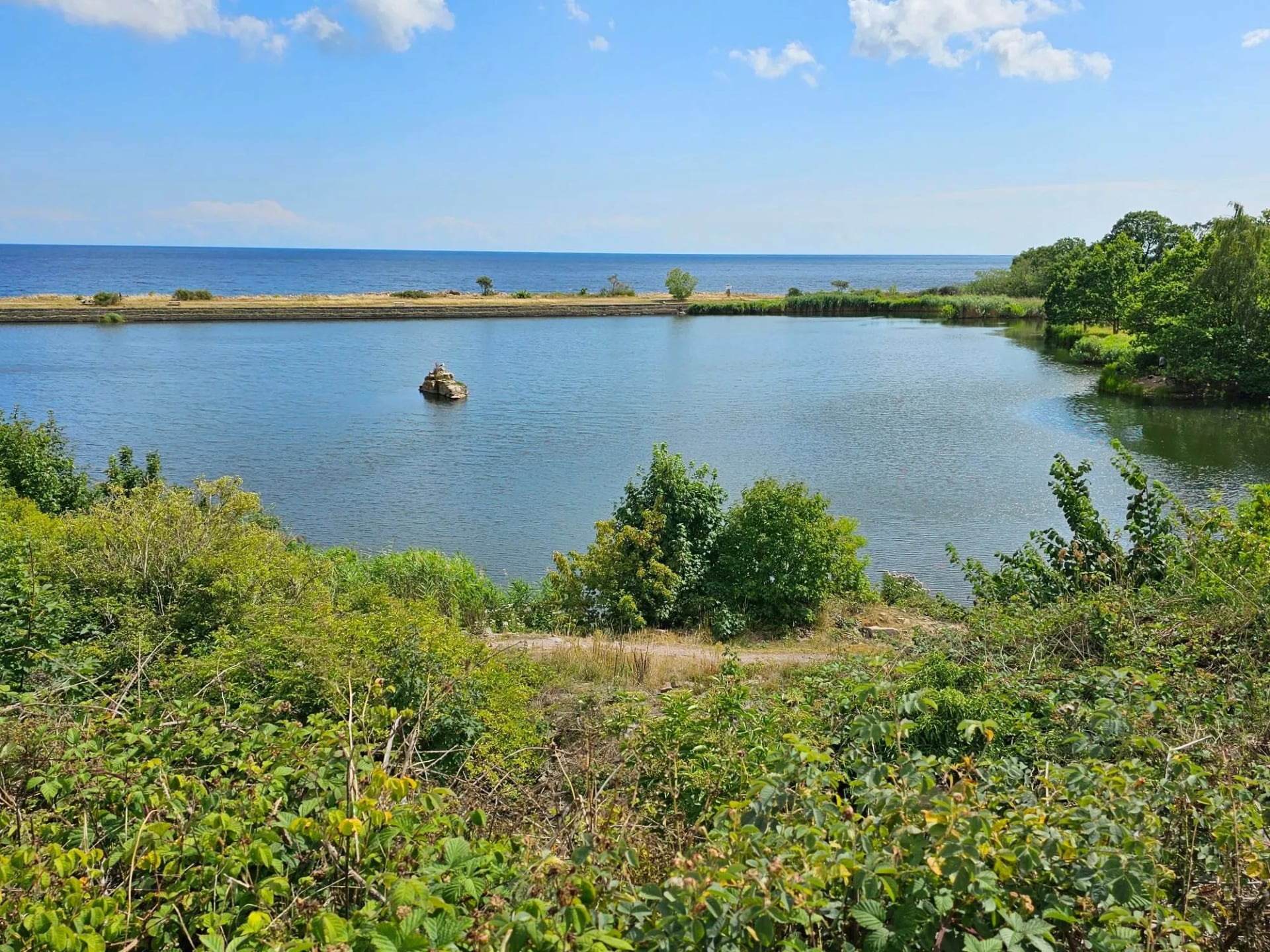
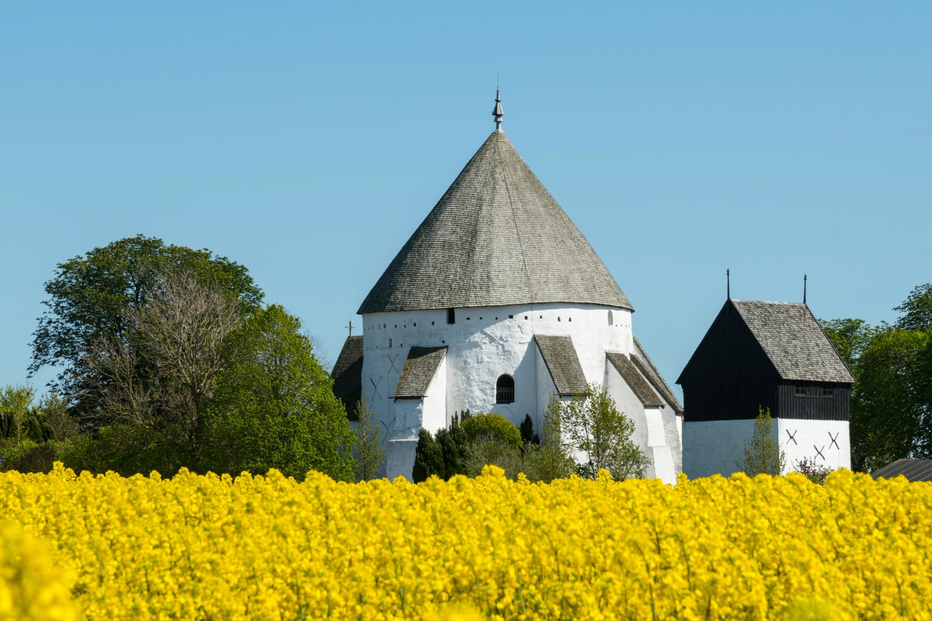
Day 5 earns its place for the other reason people come. It passes Østerlars, the largest round church in the country and the oldest of Bornholm's four, built around 1150 with walls thick enough to hold a siege.
The route then rolls inland through Paradisbakkerne, a hillier stretch of heath and weathered rock that feels a long way from the coast you were walking an hour earlier. Svaneke at the end of it is a working craft town rather than a preserved one, with glassblowers, ceramicists and a couple of small breweries still trading.
Our Bornholm Coastal Trail follows the Kyststien over nine days and eight nights, inn to inn, with the luggage moved ahead each morning. It is one of our Denmark walking trips and is self-guided, so you get a digital guidebook, GPS tracks and support if you need it, and no schedule beyond where you sleep.
What the week includes:
Eight nights with breakfast
A digital guidebook with the stages, route notes and practical information
GPS navigation through an app
Luggage moved between hotels each morning
Support while you are walking
Tourist tax is the one thing not included, and it is paid at the hotels.
How Hard It Is
Technically it is straightforward. There is no scrambling, the path is maintained the whole way, and the navigation is signposted rather than guessed. It is still multi-day hiking with a full day on your feet, not a series of strolls.
Walking days run from 10.5 to 19.5 kilometres, with six of the seven between 15 and 20. Day 3 carries the most elevation of the week, 355 metres of gain and 350 of loss across 17 kilometres, and it comes as rolling climbs rather than one long ascent, on rockier ground than the rest of the route.
We grade it 3 out of 5 for fitness and 1 out of 5 for technical, and that technical score is the lowest of any multi-day walk we sell. The distance is the only thing asking anything of you.
In absolute terms that is still a gentle to moderate day. Nothing here approaches the gain of a single Alpine stage, so it sits well within reach of a reasonably fit walker with no mountain experience, while being clearly the hardest day of the week.
The bigger factor is wind. The exposed northern and eastern stretches are open granite with almost no shelter, so a headwind adds an hour to a 17 kilometre day without adding a metre to it. The wind decides the day here, not the contour lines. The exception is the flat southern stretch past Dueodde, where the dunes take the edge off it.

When to Go
The Bornholm walking season runs May to September, with June to August the warmest and the busiest. Accommodation along the route books out fastest in July, particularly in Gudhjem and Svaneke, when Danish holidaymakers arrive in numbers.
Bornholm has a real edge on the mainland here. It is Denmark's sunniest place, called Solskinsøen, the sunshine island, on a long-term average of roughly 2,065 hours of sunshine a year at Rønne.
DMI’s sunshine records put it ahead of Samsø in second place by about seventeen hours across a year, so the margin is real but slim. Worth knowing that the island is not uniform either: the south east is drier, sheltered by the higher ground in the middle.
April, May and September are quieter and still mild, and worth taking if you would rather have the coast path to yourself. Outside May to September the small inns close, which ends inn-to-inn walking rather than merely making it colder.
Where You Sleep
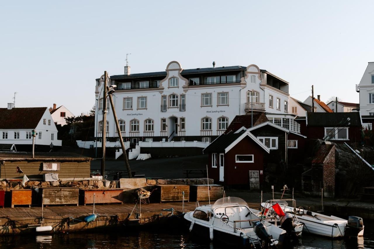
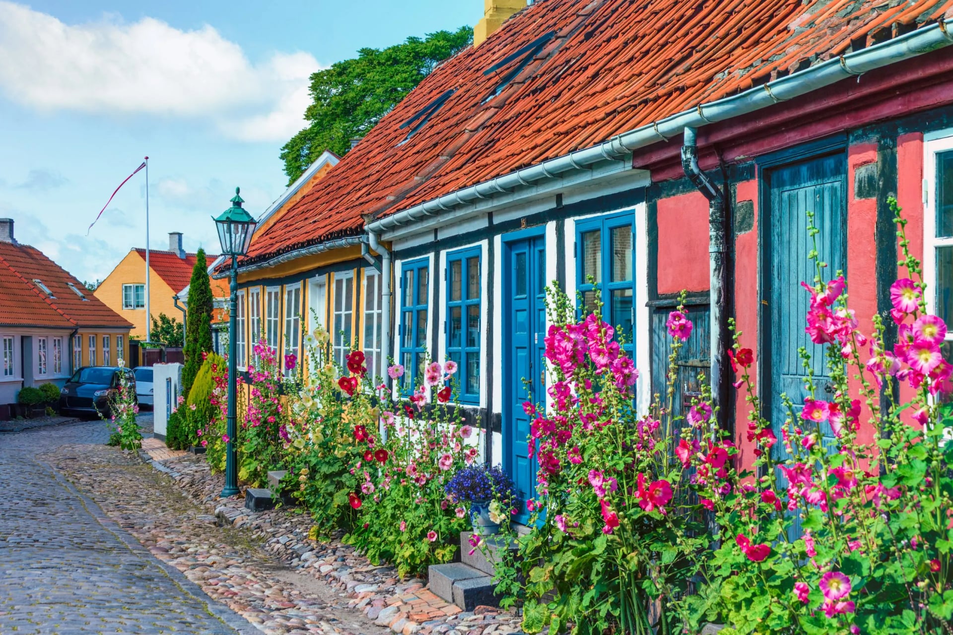
Every night is a bed in a town on the route, which is the point of walking it this way. Our nine days use Hasle Hytter, Hotel Sandvig Havn, Jantzens Hotel in Gudhjem, Hotel Siemsens Gaard in Svaneke, Rosengaarden and BB-Hotel Rønne, all at comfort level.
That matters more than it sounds on this island. Bornholm's harbour towns are small, and in Gudhjem and Svaneke in particular the beds are the constraint on any itinerary rather than the distance between them. Book late in July and you will be walking to whatever is left.
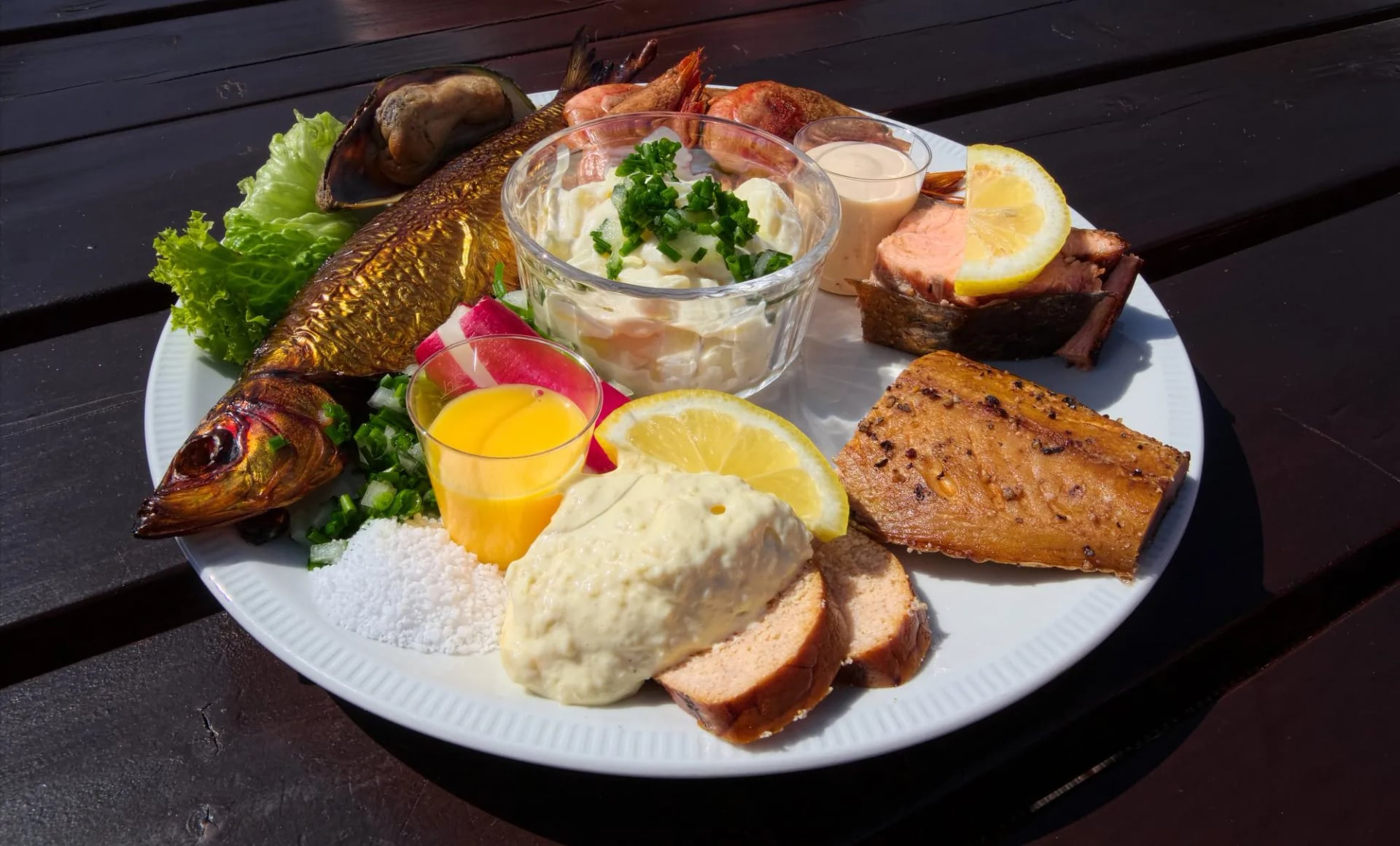
Eat what the harbour does. Gudhjem is where sol over Gudhjem comes from, smoked herring on rye with a raw egg yolk, radish and chives, and the smokehouse it is named after is on the route on day four.
Hasle on day two has working smokehouses too, and Snogebæk on day six is a fishing village where the seafood is the reason to stop rather than a bonus for having arrived. On an island this small the harbours still land what the kitchens serve, so the food is part of the route.
Getting There
The fastest way from Copenhagen is a 35 minute flight to Rønne Airport, a few kilometres from the town centre. It costs the least time and the most money, and it lands you within a taxi ride of the start of the loop, which is worth something on a nine day trip.
The classic way is the ferry from Ystad in Sweden, about 80 minutes on the fast catamaran, reached by train over the Øresund bridge. The slow alternative is the night boat from Køge near Copenhagen, roughly five and a half hours.
All three land in Rønne, where the tour starts and finishes, so none of them leaves an awkward transfer. You need no permits for the trail itself.
Once you are on the island, BAT, the bus network, reaches every town on the route, so a stage can be cut short if the wind decides it should be. The trail passes through or very near Hasle, Sandvig, Gudhjem and Svaneke, so you are never far from a bed, a bakery or a bus stop.
What to Pack
This is a low pack weight walk. Wind and sun matter more than anything you would carry for an Alpine week.
On your feet. Trainers with grip cover most of the distance, because the surface is sand, forest track and tarmac far more often than rock. Something sturdier earns its place on the granite of days three and four.
A windproof and waterproof shell. The most useful thing in the bag. The exposure here is horizontal rather than vertical, and an open headland offers nothing to hide behind.
Layers rather than weight. A midlayer and a warm hat for the mornings. The Baltic keeps the air cooler than the latitude suggests, even in July.
A daypack. On an inn to inn week with the bags moved ahead you carry only the day: water, lunch, a shell and a camera.
Sun cover. Sunglasses, sun cream and a cap. This is the sunniest corner of Denmark and the beach stages give you no shade at all.
A dry bag. For a phone and a camera on the sand sections, where spray and grit reach everything eventually.
Water and food. Tap water is safe across the island, so fill up before you leave. Every day passes a town with a bakery or a shop, so nothing has to be carried far.
Admin. Almost nothing runs on cash here and a card covers the trip. Keep a little anyway for an honesty box or a rural stall.
Know Before You Arrive
Bornholm looks the way it does because geologically it is barely Danish at all. The mainland sits on chalk and moraine, while this island's bedrock is granite well over a billion years old, part of the same ancient shield that underlies Sweden and Norway. Locals call it Klippeøen, the rock island, and it is why a Danish coastal trail has any real climbing on it.
The island also punches above its weight on round churches. Denmark has seven surviving medieval round churches, built in the twelfth and thirteenth centuries as places of worship and defensive strongholds against raiders, and four of them are here. Østerlars, passed on day five, is the largest in the country and the oldest of Bornholm's own, dating to around 1150.
Bornholm even sounds different. Bornholmsk, the island's own dialect, split from mainland Danish speech centuries ago and kept three grammatical genders where Standard Danish now has two.
On practicalities, Denmark runs almost entirely on card and mobile payment, so you are unlikely to need cash anywhere on the route beyond a rural stall or an honesty box. Tap water is safe and good everywhere, and English is spoken comfortably in every town you pass.
If you want a look inland, Almindingen in the centre of the island is the largest forest here, and it holds a herd of European bison. Seven animals came from the Białowieża forest in Poland in 2012, into a fenced 200 hectares.
They were the first bison in Denmark for more than two thousand years, and a bull joined the herd in 2017. It is not on the coastal trail, but it is a strange and rather wonderful thing to find on a Danish island known for its beaches.
Frequently Asked Questions
Planning Your Walk
Bornholm packs an unusual amount into a single week. Granite cliffs, white sand, working smokehouses and round churches older than most of what stands on the mainland, all on one loop with no repeated nights.
It is a different kind of Danish walking from the flat mainland trails, and the coastal loop is the only way to see all of it. If this is the route for you, get in touch and we will sort out the dates.
If you would rather ride the island than walk it, our cycling side runs an ultimate Bornholm bike tour over much of the same coast.

About this author
Suzana is our travel advisor and a hiker who believes the best trails aren't just about the summits. She loves spotting alpine plants, watching wildlife, and the laughs, chats, and snack breaks that make every trail worth walking.