Hiking in France: Best Hikes, Trails & Walking Holidays
Hiking in France means 118,000 kilometres of waymarked GR trails. Six routes compared on distance, ascent and season, from the Stevenson Trail to the GR20.

Ajda
Published September 8, 2026
Edited October 8, 2026
22 min read
Quick links
Don't want to read all this?
We've planned 2,000+ hiking trips. Send your dates, fitness and group size — we'll map the route and book every night.



France carries one of the densest walking networks in Europe. Around 245,000 kilometres of marked itineraries, of which 118,000 kilometres are GR routes, across terrain that runs from Atlantic sea cliffs to limestone gorges to high granite ridges.
That range is the problem as much as the appeal. Hiking in France looks completely different depending which corner you are in, so the hard part is narrowing it down rather than finding something to walk. Our France walking holidays are the shortlist we actually run.
This guide covers the major regions, the routes that define each one, when to go, how the refuge system works and what multi day hiking here takes to plan. The range as a whole sits in our guide to hiking in the Alps.
The 6 Best Hikes in France
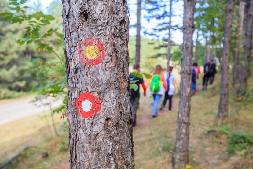
The backbone of it is the Grande Randonnée network, the GR routes maintained by the Fédération Française de la Randonnée Pédestre and marked throughout with red and white paint blazes. Most of the best multi-day walking here follows one.
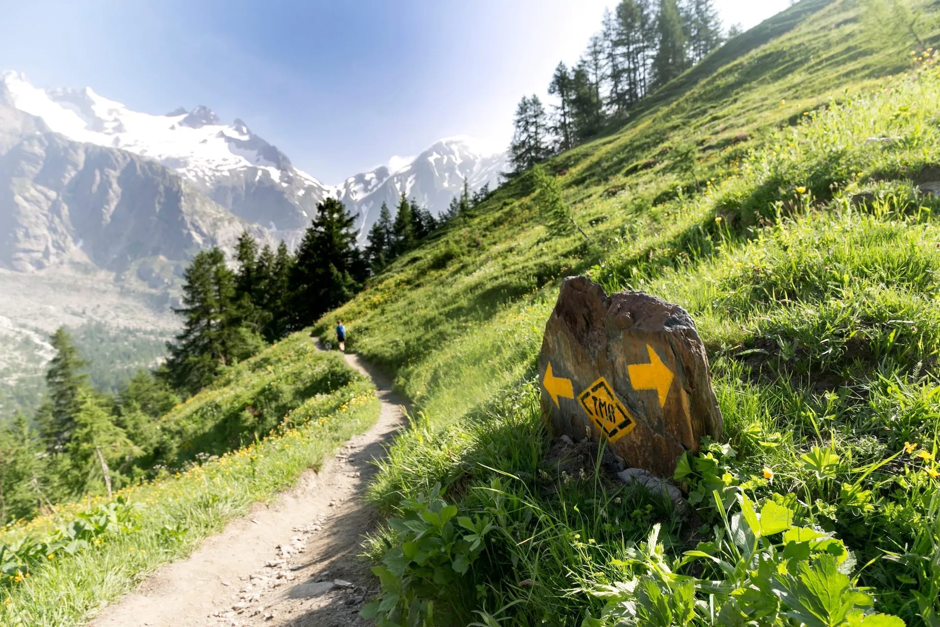
The blazes are consistent nationwide, which matters more than it sounds. Learn them once and you can navigate a coast path in Brittany and a granite ridge in Corsica on the same habits. A crossed X means you are off route.
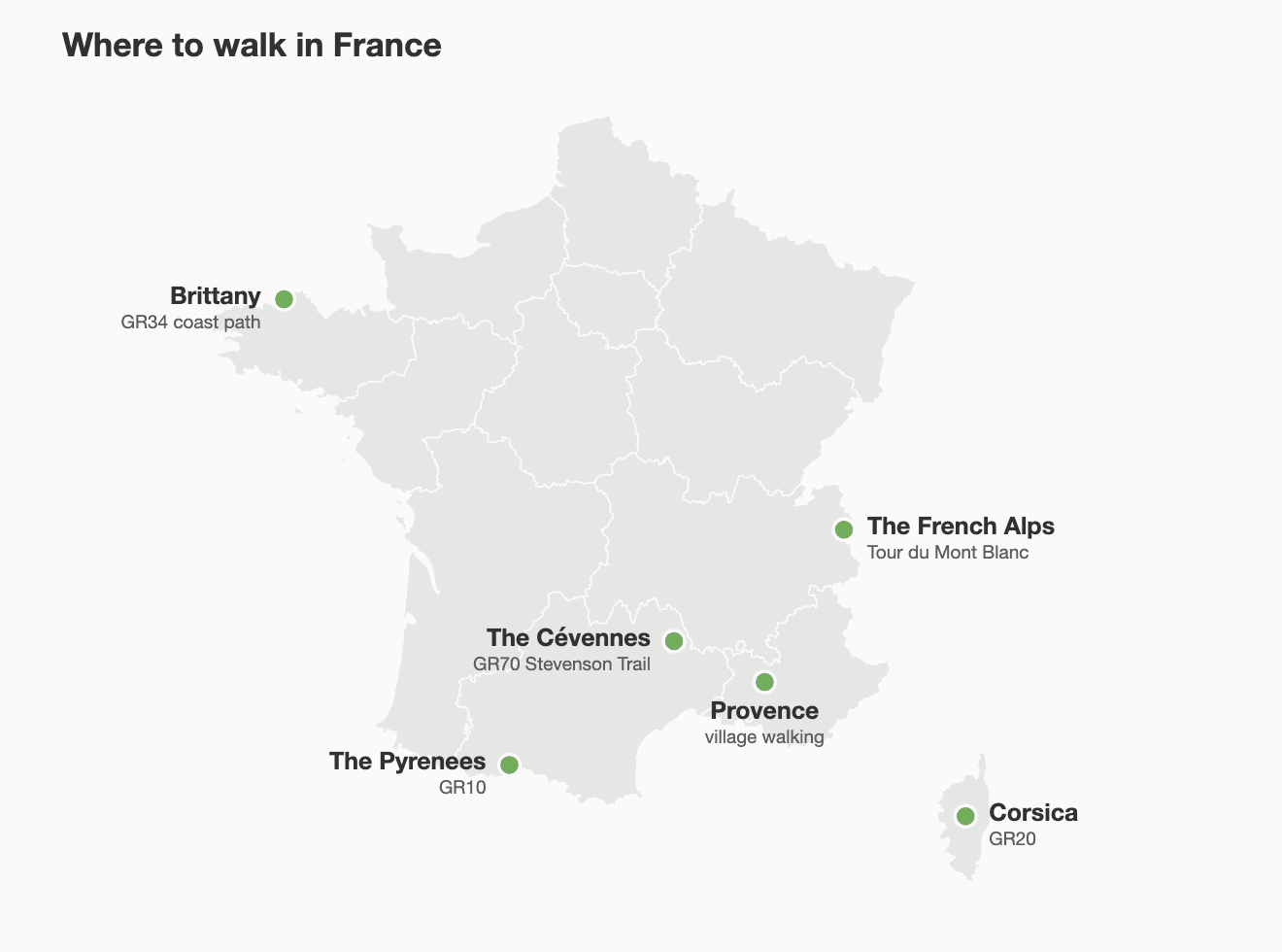
Six routes carry most of the demand, and they are not interchangeable. The gap between the easiest and the hardest hiking trails in France is wider than anywhere else in Europe, which is why a shortlist beats a search. Those six are below with the numbers that decide between them, and after them the guide takes France region by region, which is where the seasons, the huts and the ground underfoot differ most.
1. Tour du Mont Blanc
Distance: 170 km
Days: 10 to 12
Difficulty: Moderate to challenging
Season: July to September
Circuits the Mont Blanc massif through France, Italy and Switzerland with a refuge at the end of every stage. The benchmark alpine trek and the most straightforward of the big circuits.

2. GR20, Corsica
Distance: 180 km
Days: 15 to 16
Difficulty: Very difficult
Season: Mid-June to mid-September
Widely rated the toughest long-distance trail in Europe, crossing granite ridges and boulder fields down the spine of the island. For experienced hikers with sure footing.
3. GR10, Pyrenees
Distance: About 1,100 km end to end
Days: 14 to 21 for a typical section
Difficulty: Moderate to challenging
Season: July to September
Runs the French Pyrenees from the Atlantic to the Mediterranean. Almost nobody walks the whole thing in one go, so most people take a two or three week section instead and pick it by the scenery rather than the mileage.
4. GR70, Stevenson Trail
Distance: 272 km
Days: 12 to 14
Difficulty: Easy to moderate
Season: April to October
Follows Robert Louis Stevenson's 1878 route through the chestnut forest and limestone uplands of the Cévennes. The gentlest ground of the six, though the days are long, and walkable in spring when the mountains are still shut.
5. GR34, Brittany
Distance: Over 2,000 km
Days: 5 to 10 for a typical section
Difficulty: Easy to moderate
Season: May to October
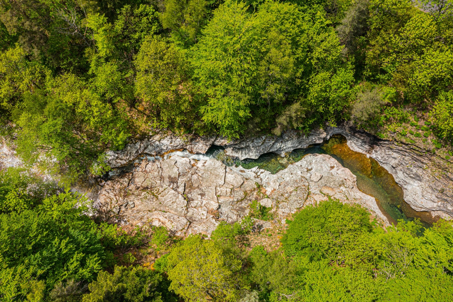
Follows the whole Breton coastline west from Mont Saint-Michel past sea cliffs, pink granite headlands and fishing harbours.
6. Walker's Haute Route
Distance: 215 km
Days: 14
Difficulty: Challenging
Season: July to September
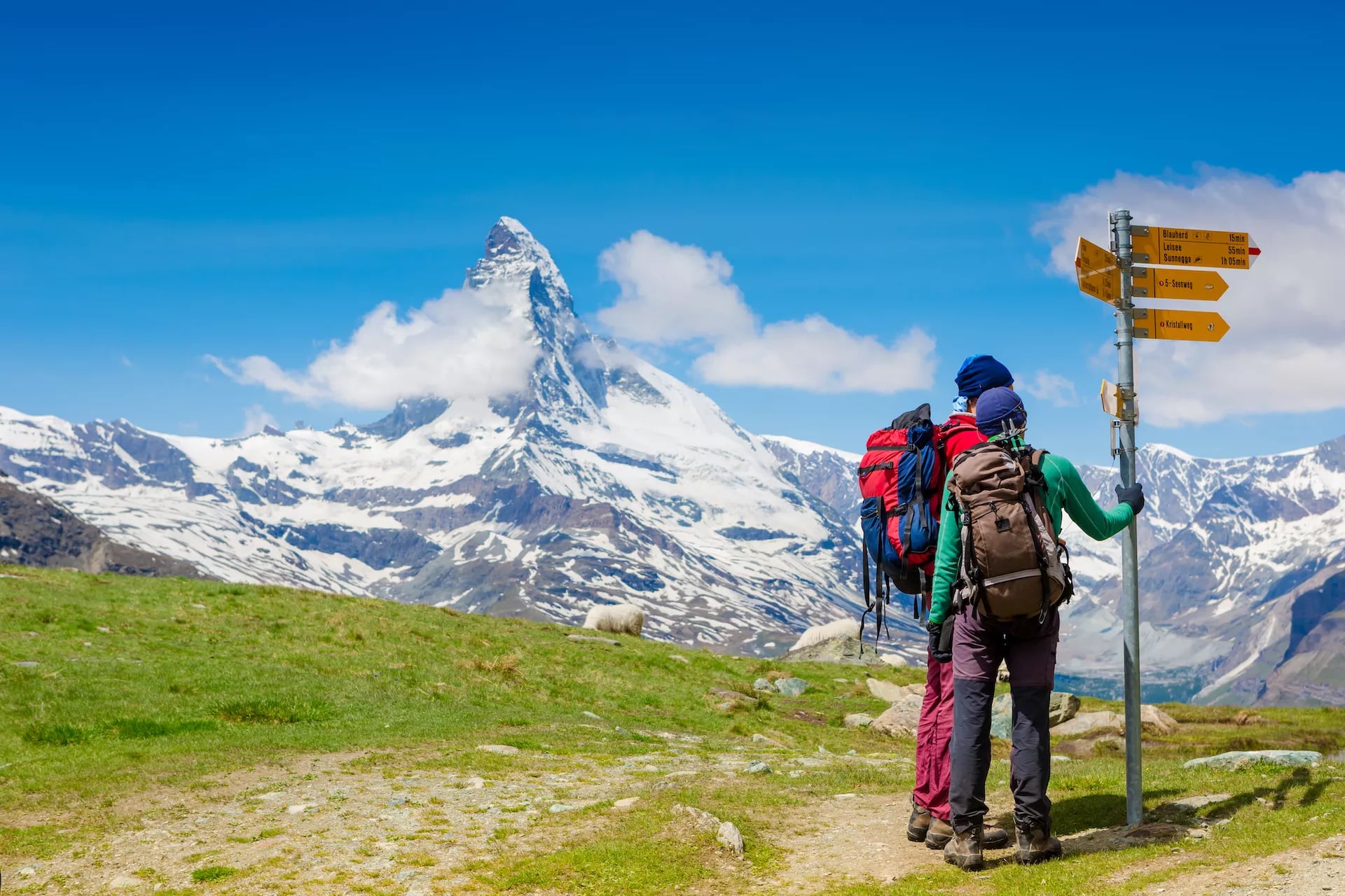
Crosses 11 high passes from Chamonix to Zermatt. More remote and more demanding than the Tour du Mont Blanc, with a fraction of the walkers on it.
The French Alps
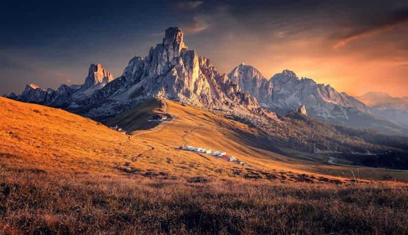
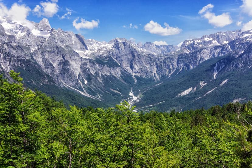
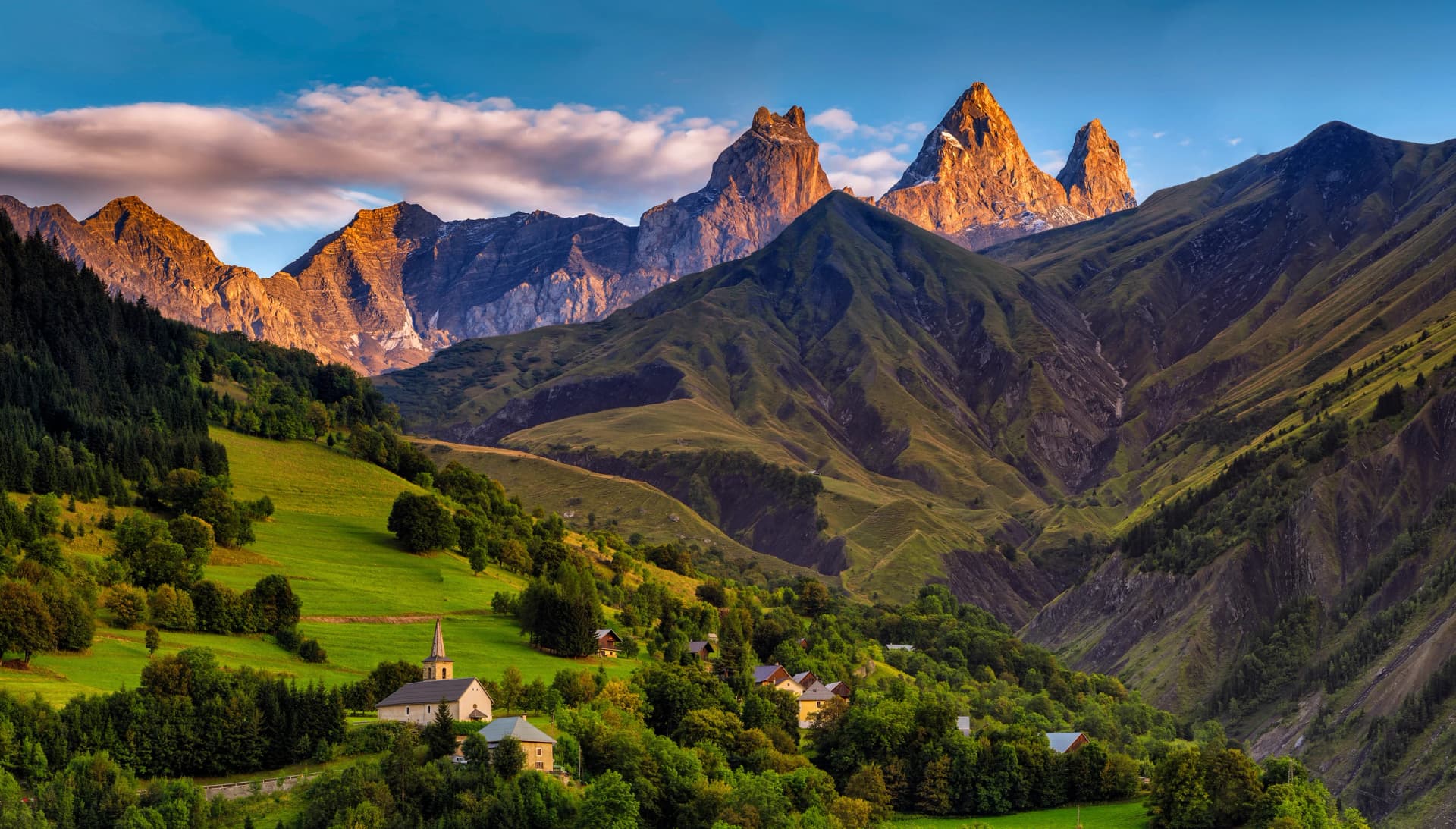
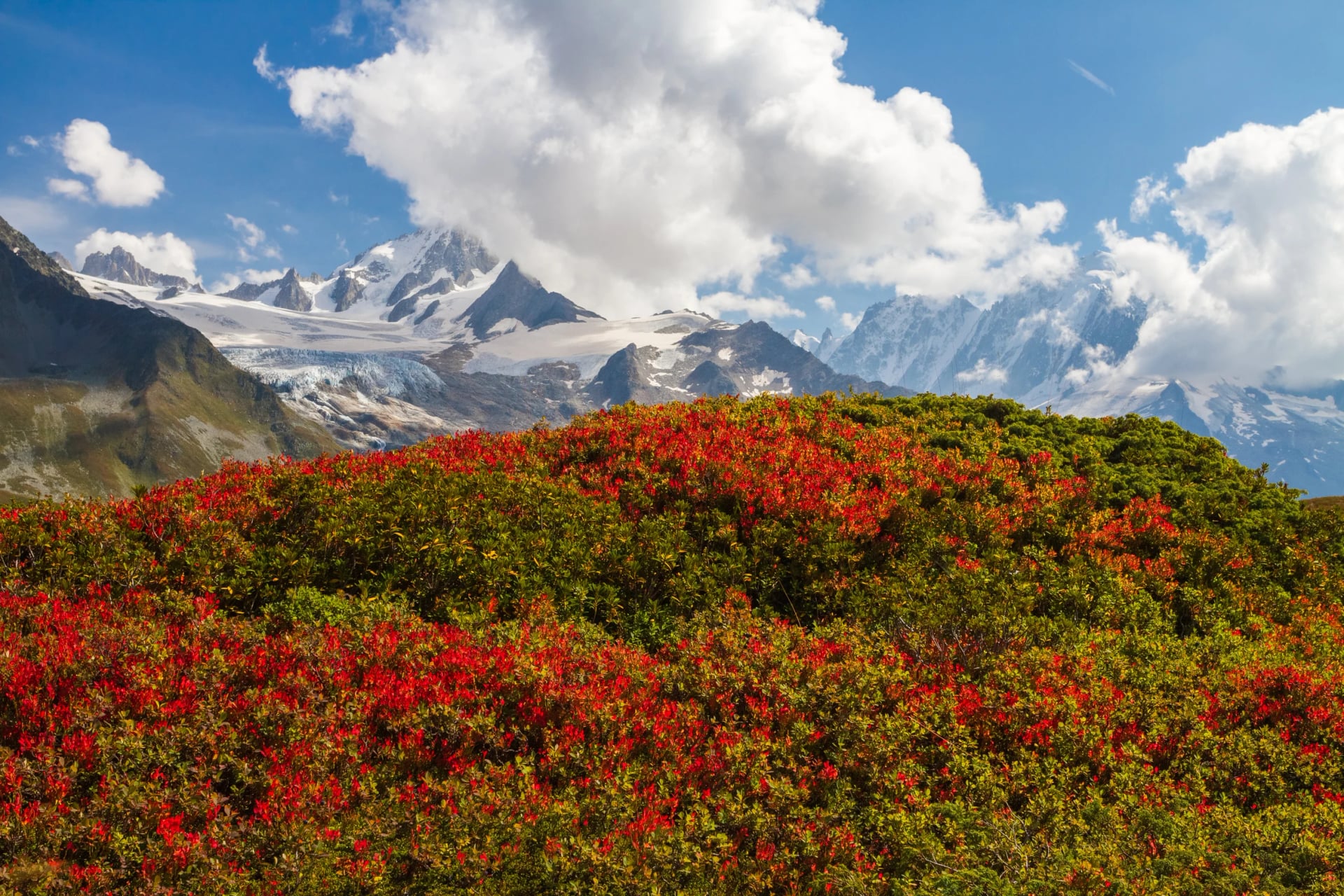
The Alps hold the highest density of serious multi-day walking in the country, centred on the Mont Blanc massif above Chamonix. The Tour du Mont Blanc is the dominant route: 170 kilometres through three countries, crossing seven valleys and a dozen passes.
Mont Blanc itself, a shade over 4,800 metres and re-measured every two years because the summit is a snow dome, sits as a permanent reference point for the whole circuit. Most walkers take 10 to 12 days at around 15 kilometres a day, with 700 to 1,200 metres of climbing in each of them.
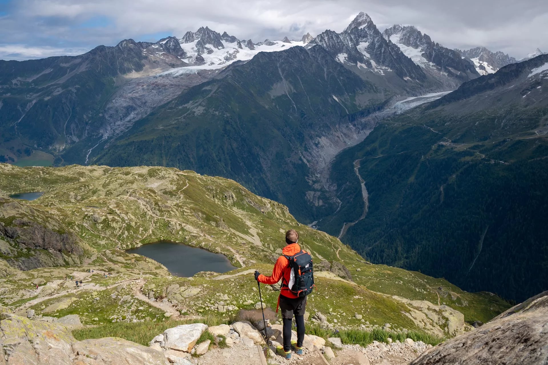
Technically it sits in the moderate to challenging band. The path is well marked and nothing needs scrambling, but the cumulative climb is the real test. By day five or six the body is working differently than it was at the start, and the passes stop being individual efforts and start being a total.
July and August are peak, with refuges full and the popular sections busy by mid-morning. June and September are markedly quieter, and September brings cooler air, sharper visibility and the first colour in the larch. If the dates are yours to choose, choose September.
Route: the full circuit from Les Houches back to Les Houches, through France, Italy and Switzerland
Daily: 8 to 19 km with 500 to 1,550 m of ascent, and the biggest climbs fall on the longest days
Season: June to September, and September is the one to ask for
Sleeping: mountain refuges and valley hotels, basic to comfort
Shorter option: the northeast arc runs as a five day highlights route
The Walker's Haute Route from Chamonix to Zermatt is the harder alternative: 215 kilometres over 11 high passes, with longer and more remote stages. It suits experienced mountain walkers who can navigate in poor visibility.
Route: Chamonix to Zermatt over 11 passes, finishing under the Matterhorn
Daily: 9 to 22 km with up to 1,825 m of ascent on the hardest day
Season: July to September only, because the passes hold snow either side
Sleeping: huts and small hotels, basic to comfort
Suits: walkers who have already done a circuit like the Tour du Mont Blanc
The Pyrenees
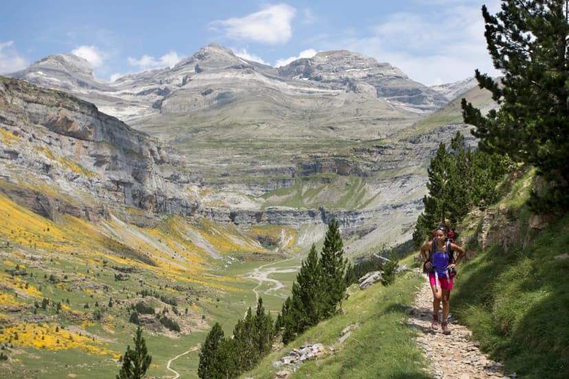
The GR10 is the defining route of the French Pyrenees. It runs about 1,100 kilometres from Hendaye on the Atlantic to Banyuls-sur-Mer on the Mediterranean, and the Fédération reckons a good month and a half of walking for the whole thing. The climbing is the part to sit with rather than the distance: expect well over 1,000 metres of ascent on a typical stage, because the range refuses to be flat anywhere.
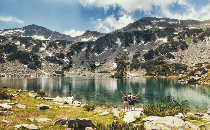
Almost nobody walks it end to end. Most take two or three weeks in the central Pyrenees where the terrain is at its best: high cirques ringed by 3,000 metre peaks, glacial lakes, and a hut network dense enough to make self-supported walking comfortable.
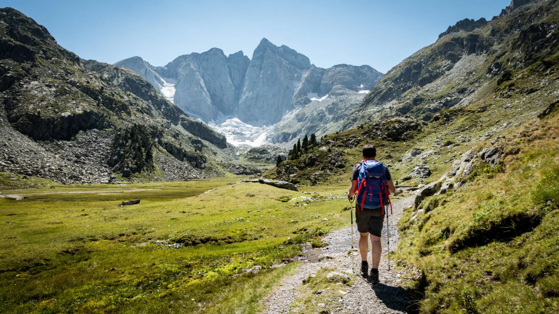
The central section between Cauterets and the Ariège takes the most traffic. No mountaineering skills are needed and the paths are straightforward, but the daily totals are serious: our own central-section stages climb 1,150 to 1,260 metres on the big days, with easier 440 metre days between them. Poles stop being optional by day three, and the descents are longer than the climbs on more days than you would expect.
September is the best month here. Summer crowds thin, the long exposed ridges cool to something pleasant, and most accommodation stays open until late in the month. Snow above 2,000 metres lingers through June most years.
The GR10 is not a loop. It is a one way traverse, so transport at both ends needs planning: trains reach Pau and Lourdes for the central section, Bayonne and Biarritz for the Atlantic end, Perpignan for the Mediterranean.
Route: the central section, Cauterets to Luchon, past Pont d'Espagne and Lac d'Oô
Daily: 12.5 to 20 km with 440 to 1,260 m of ascent
Season: July to September, September for the conditions
Sleeping: mountain refuges and village gites, basic to comfort
Why this section: it is the stretch with the cirques and the lakes rather than the foothills
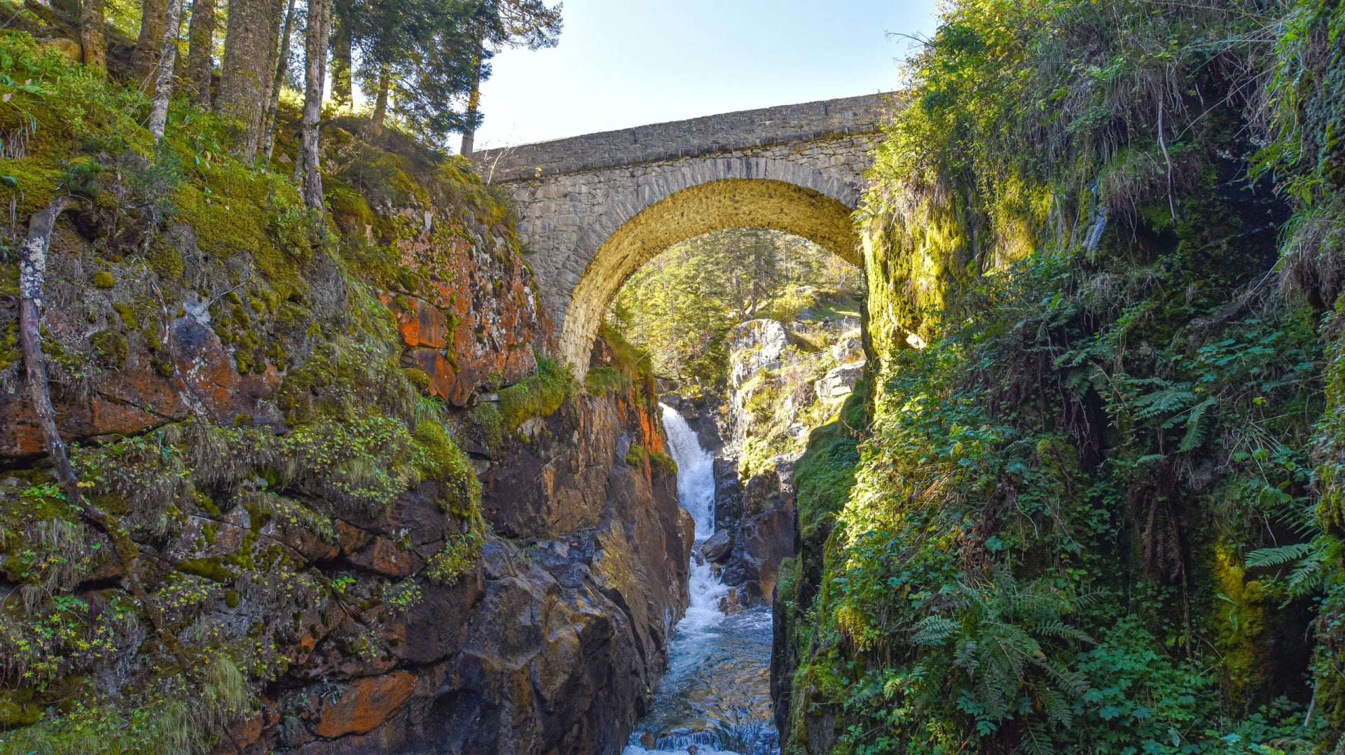
Cauterets is the sensible base to start from either way. It sits at the head of the valley with the Pont d'Espagne falls above it and a lift network that can shorten the first climb, which matters if you arrive off a long train day.
Corsica
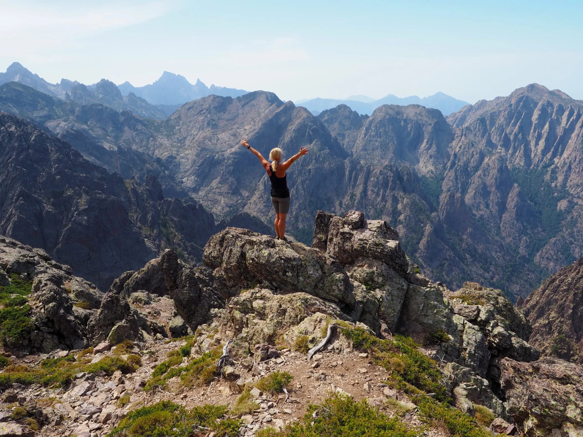
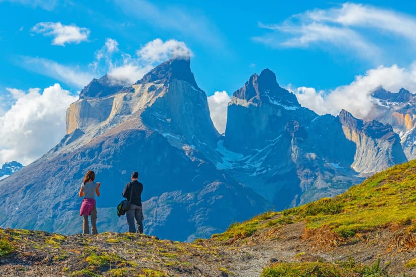
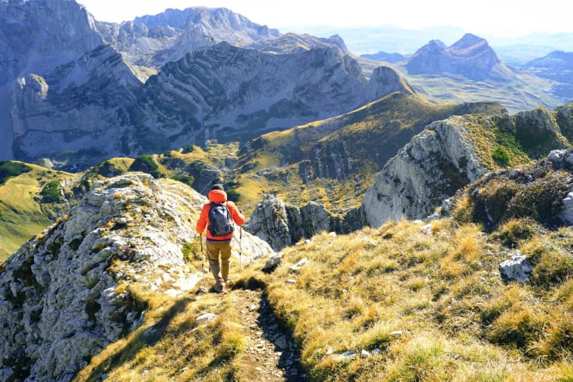
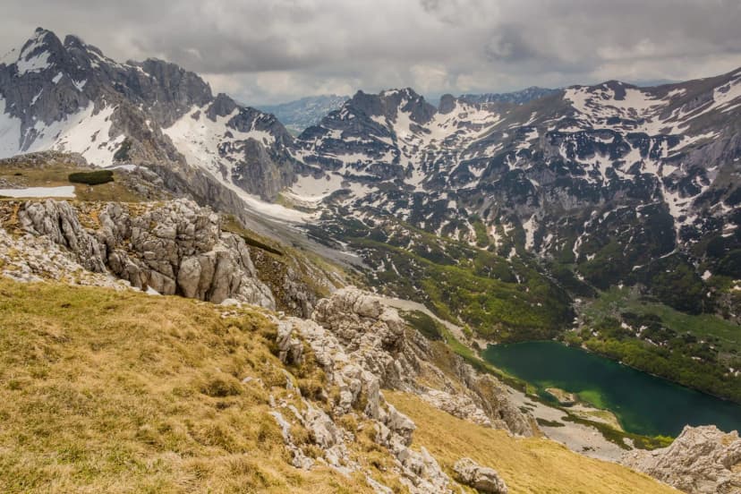
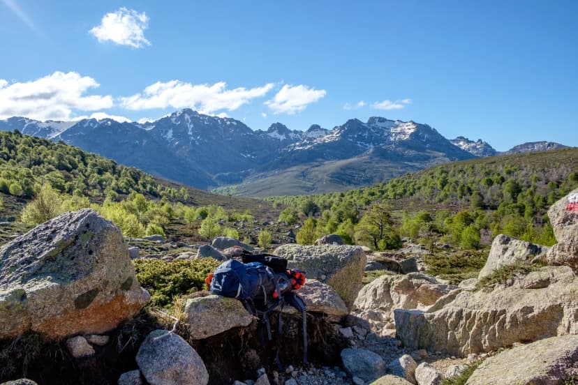
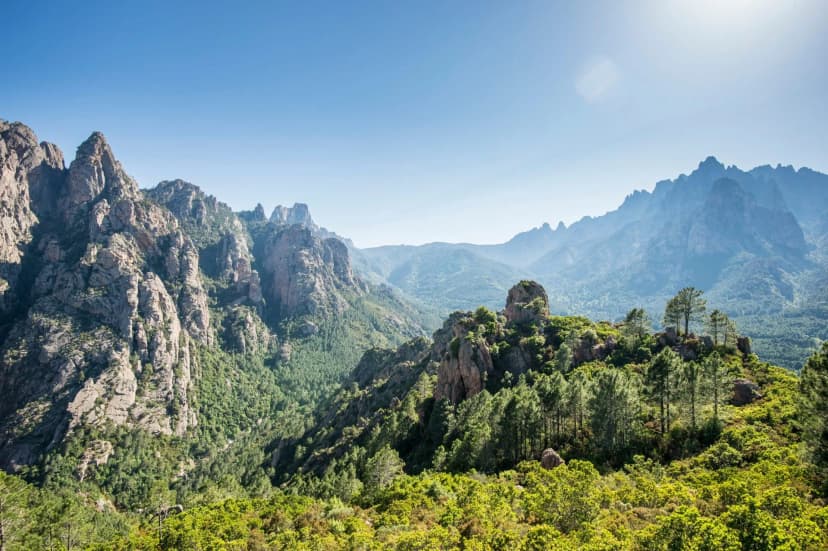
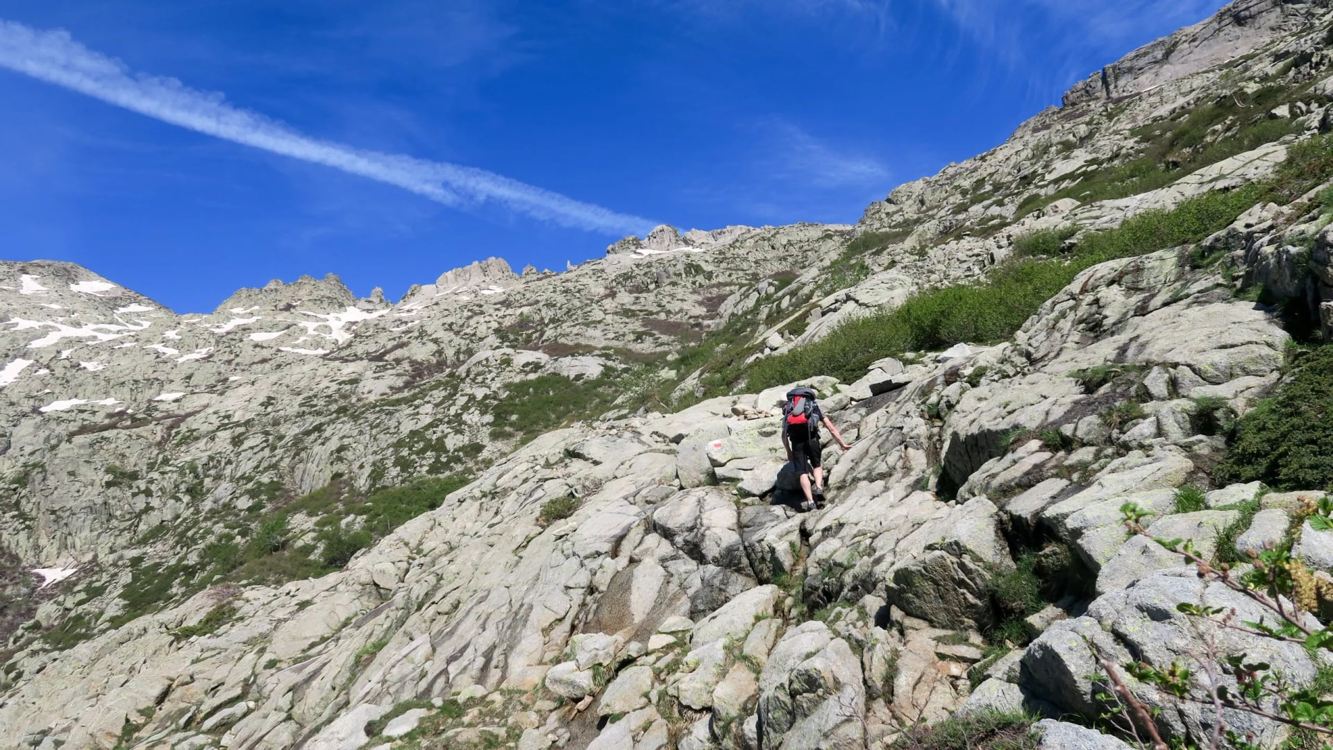
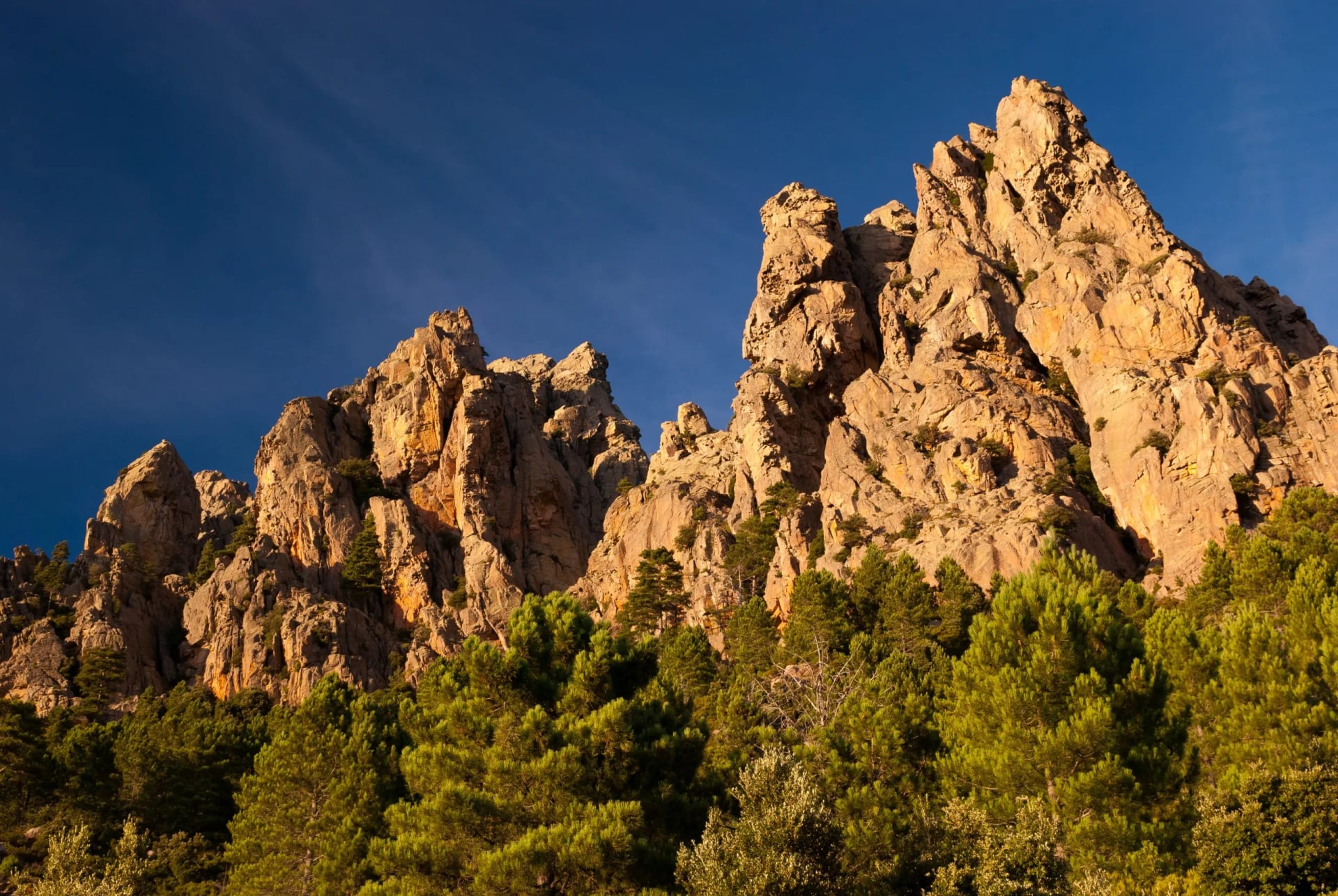
The GR20 runs 180 kilometres down the spine of Corsica, from Calenzana in the north to Conca in the south. Its reputation as one of the hardest long trails in Europe is earned rather than marketing, and the two halves of it are different trips with different demands.
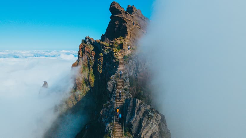
The northern half, Calenzana to Vizzavona, is the technical one: steep granite slabs, boulder fields, narrow cols and passages where hands matter as much as feet. The southern half is gentler by comparison, which is not the same as easy, and plenty of people who start north to south find the second week harder than they expected.
Route: the full traverse, north to south, both halves of the island
Daily: 6 to 15 km with 200 to 1,460 m of ascent, and the short days are the hard ones
Season: June to September
Sleeping: mountain refuges, basic to comfort
Technical level: 5 out of 5, the highest grade on our books
Most people take 15 to 16 days. Stages are short by long-distance standards at 6 to 15 kilometres, but the ground is slow and the effort accumulates. Afternoon thunderstorms are common in summer, so starting early is standard practice rather than keen.
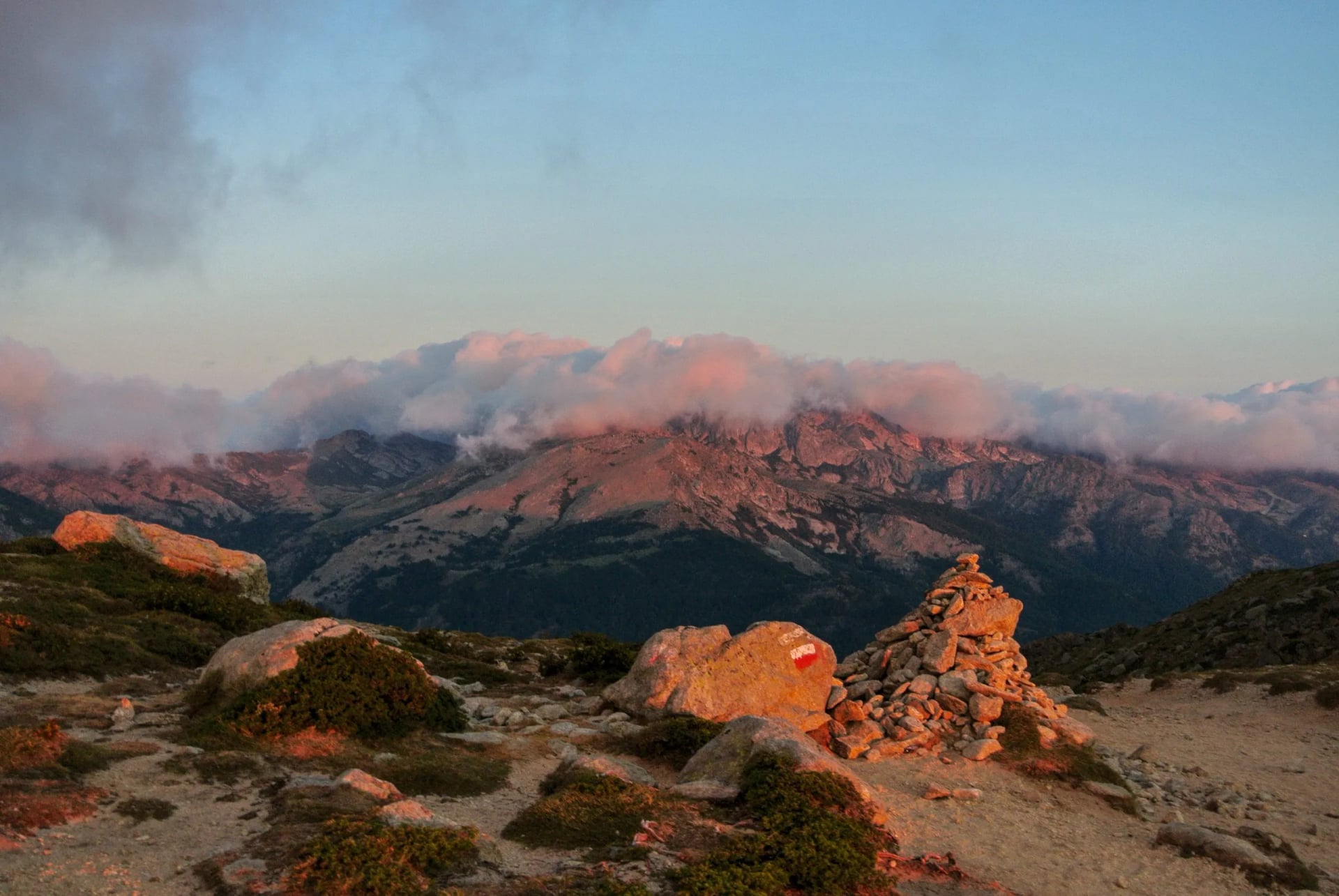
Mid-June to mid-September is the window, and June is quieter and cooler. The trail crosses the Parc Naturel Régional de Corse, where wild camping is prohibited and walkers use the official refuges or designated bivouac areas.
Refuge capacity is limited and July and August demand is intense, so book the moment the reservation calendar opens, usually in January. Miss that window and the trip becomes a tent trip, which on this route means carrying the weight over the slabs. The route itself gets its own GR20 guide. The wider island sits in our guide to hiking in Corsica.
Corsica is reached by overnight ferry from Marseille, Nice or Toulon, or by direct flights into Bastia for the northern trailhead and Ajaccio for the south. The ferry is the better arrival if you are carrying poles and gas, and the overnight crossing saves a night's accommodation, which is the kind of saving that matters on a 16 day trip.
Route: the southern half only, Vizzavona down to Conca
Daily: 14 to 18 km with 320 to 1,290 m of ascent
Season: June to September
Sleeping: mountain refuges, basic to comfort
Why the half: technical 4/5 instead of 5/5, so it is the way onto the GR20 without the slabs
The Cévennes
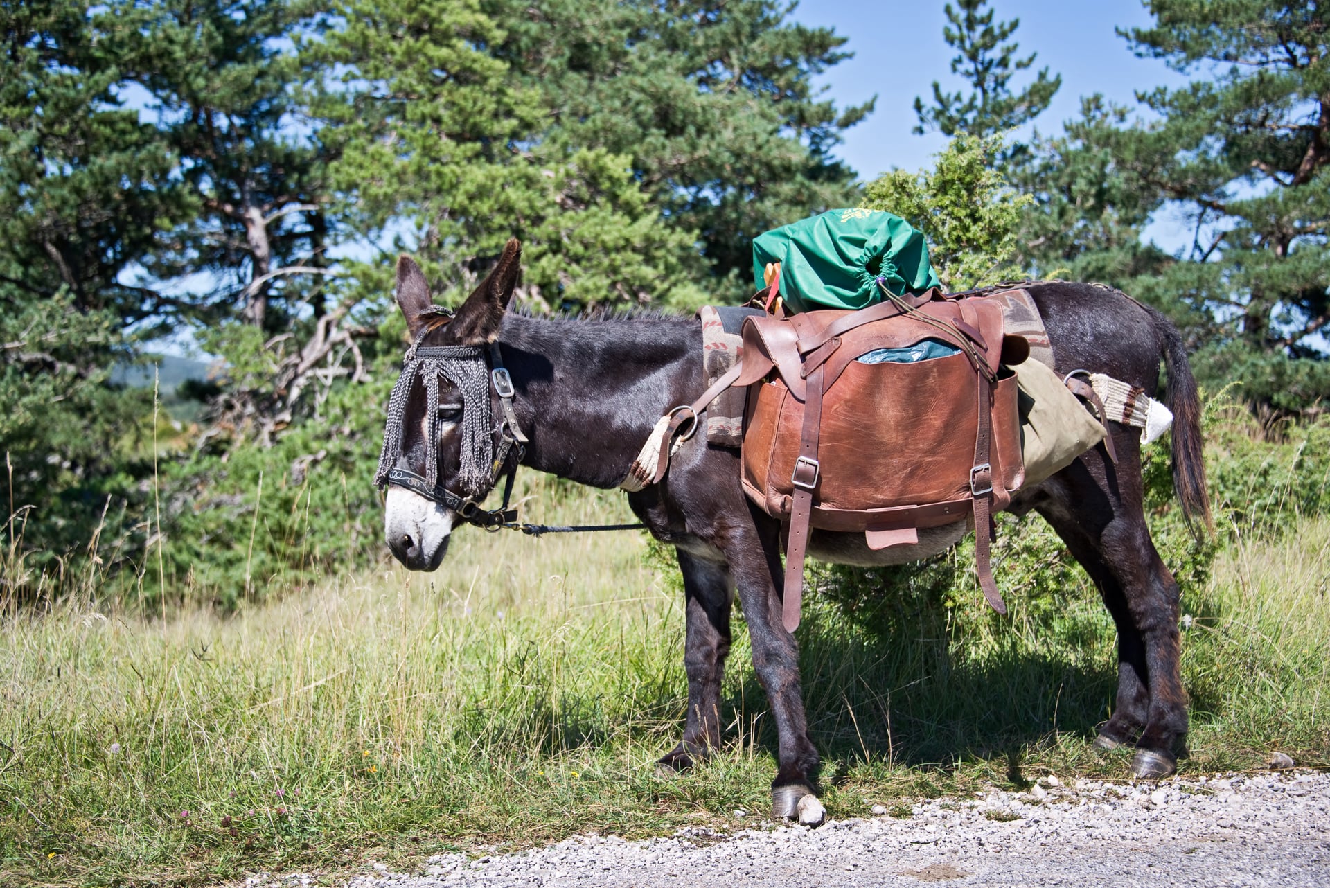
In 1878 Robert Louis Stevenson walked south through the Cévennes with a sleeping sack and a donkey called Modestine. The GR70 follows his route from Le Monastier-sur-Gazeille to Saint-Jean-du-Gard, through chestnut forest, limestone gorge and farmland.
The route crosses four distinct countries in miniature, the Velay, the Gévaudan, Mont Lozère and the Cévennes, and the character changes with each one. The accommodation beats every other route on this page, gîtes d'étape and chambres d'hôtes rather than dormitories at altitude.
The terrain is gentle by mountain standards, but the high point is not the 1,400 metres often quoted. The trail crosses Mont Lozère at the Sommet de Finiels, 1,699 metres, on the stage between Le Bleymard and Le Pont-de-Montvert.
The distance you see quoted moves around too, between roughly 220 and 276 kilometres, because it depends where you start and stop. Stevenson himself walked about 220 kilometres in 12 days from Le Monastier to Saint-Jean-du-Gard; operators who begin in Le Puy-en-Velay or finish in Alès publish longer figures. Compare the endpoints, not just the number.
The ground is easy but the days are long, and our own tour rates it fitness 5 out of 5 because stages run up to 28.5 kilometres. Easy terrain is not an easy week.
That route has a guide of its own. Our full GR70 Stevenson Trail guide walks all twelve stages from Le Puy to Saint-Jean-du-Gard, with the distances and ascents we walk on each one.
Route: Le Puy south through the Velay, the Gévaudan and the Cévennes
Daily: 12 to 28.5 km with 309 to 1,203 m of ascent, so distance rather than climbing is the demand
Season: May to October, and it works in spring when the Alps are still shut
Sleeping: inns and guesthouses at comfort level, no huts
Worth doing first: read Travels with a Donkey in the Cévennes before you go
One option nobody expects: you can still walk it with a donkey. Local outfits along the route hire them out with panniers, which is how the trail is most often walked by families, and it turns a walking holiday into something closer to what Stevenson actually did. The donkey carries the bags and sets the pace, which is slower than yours.
Brittany
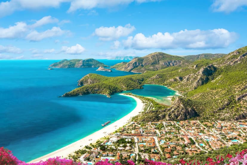
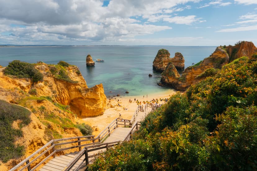
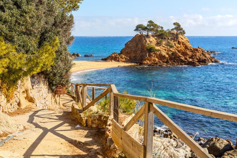
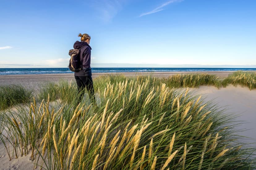
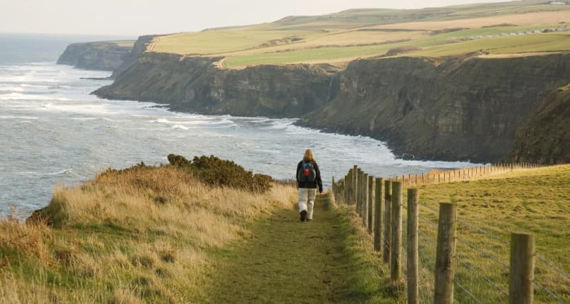
The GR34 follows more than 2,000 kilometres of Breton coastline, so in practice walkers take a stretch of five to ten days. The Pink Granite Coast between Perros-Guirec and Trébeurden, the cliffs at Cap Fréhel and the approaches to Mont Saint-Michel take most of it.
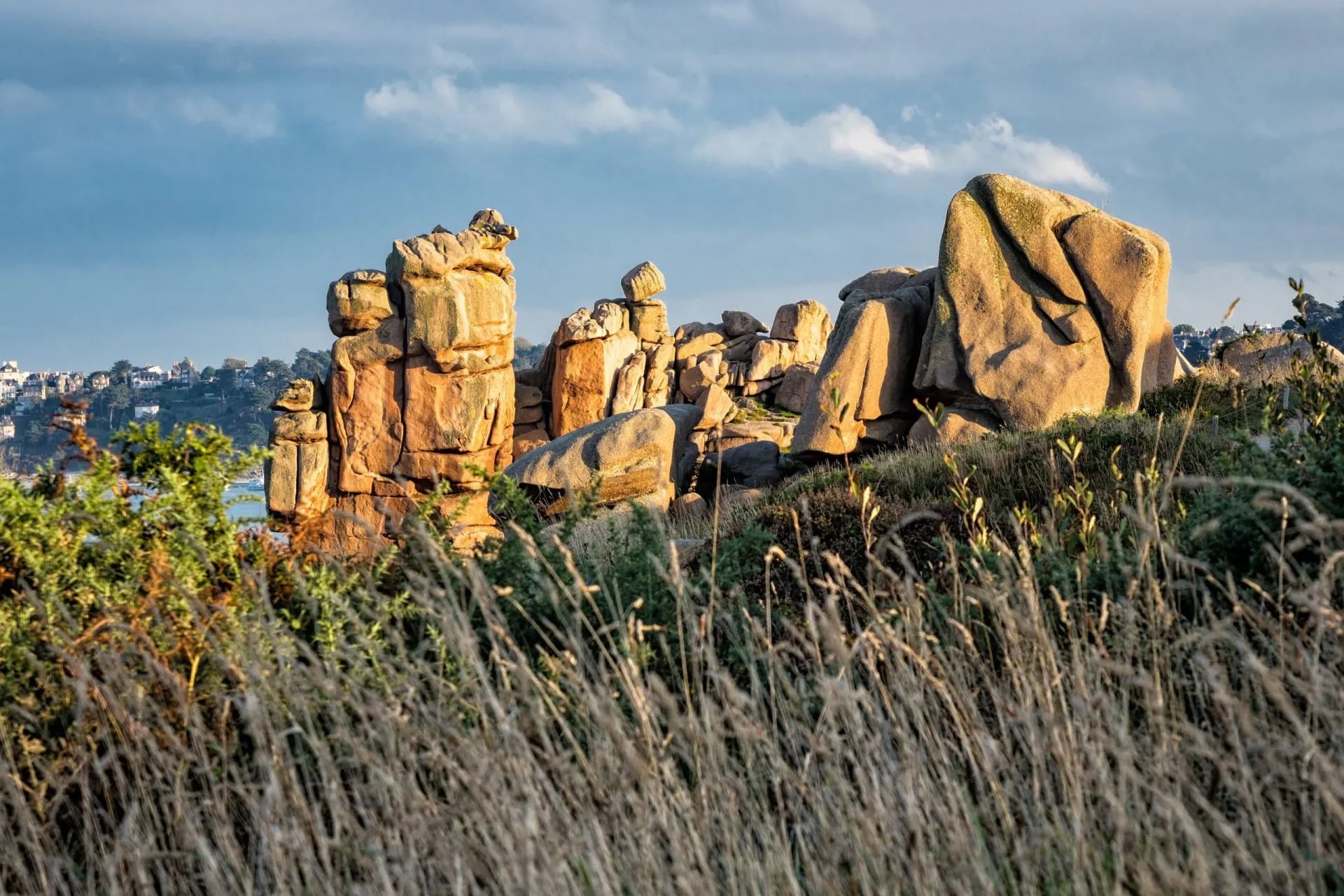
The path exists because of smuggling. It began as the sentier des douaniers, the customs officers' path, patrolled to catch contraband coming ashore, which is why it clings to the coastline instead of taking the sensible inland line.
The walking is easy to moderate underfoot. The tides are the serious part: some sections of path flood at high water, and local tide tables are not optional reading here in the way they might be elsewhere.
The Bay of Mont-Saint-Michel has the highest tidal range in Europe, averaging around 10 metres and reaching 12 on spring tides, with up to 15 metres on the exceptional ones, and as much as 250 square kilometres of foreshore uncovers at low water.
That is a landscape that rearranges itself twice a day. Some beach sections are only passable at low tide, the sheep meadows west of the Mont go under on spring tides, and the oyster racks off Cancale appear and disappear with the water.
May through October is the season, with the shoulder months avoiding the summer crowds on the busiest coastal stretches.
Route: the Côte de Granit Rose, Lannion to Tréguier along the pink granite coast
Daily: 9.5 to 25 km with only 80 to 280 m of ascent, so distance is the whole demand
Season: May to October
Sleeping: inns and small hotels at comfort level, no dormitories
Suits: anyone who wants coast walking without a mountain week attached
Provence
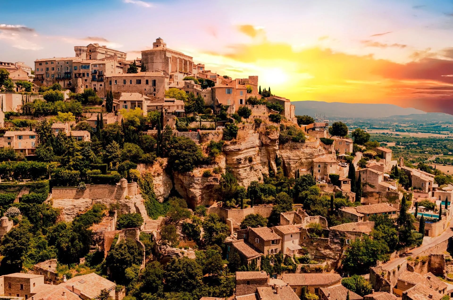
Provence is not a summer hiking destination at low altitude. July and August sit above 30 degrees most days, with spikes past 35 in a heatwave, and the garrigue offers no shade at all, which makes the scrubland paths punishing rather than merely hot.
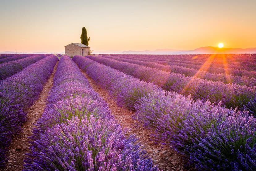
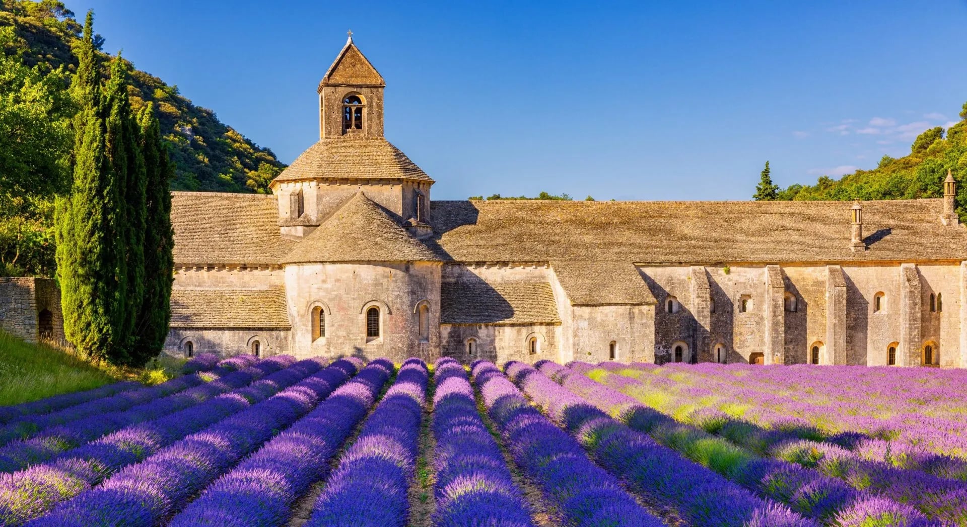
Spring, April to June, and autumn, September to October, are the seasons here. That is also when the light is best, and when the lavender in the Luberon is worth building a day around, which counts for something in a region people come to look at.
There is more on this than fits here. Our full guide to hiking in Provence covers both ranges and the fire calendar that governs when the massifs are open.
Route: the Luberon, Apt across to Fontaine-de-Vaucluse through the hill villages
Daily: 8 to 16 km with 200 to 550 m of ascent, the shortest walking days on this page
Season: April to October, and April to June is the one to ask for
Sleeping: inns and guesthouses at comfort level
Suits: walkers who want the villages and the food as much as the distance
The Gorges du Verdon, where the river cuts through limestone walls up to 700 metres high, holds several multi-day options including the Tour des Gorges du Verdon, a 116 kilometre loop walked in about seven days. The Mercantour National Park behind Nice runs higher, where summer heat is less of a factor.
There is also a rule here that has no equivalent anywhere else in France. In the Calanques between Marseille and Cassis, access is decided daily by the Bouches-du-Rhône prefecture from 1 June to 30 September because of fire risk, and the call is published the evening before.
For walkers the prefecture publishes a straight open or closed map, and on a closed day land access is forbidden and the Route des Crêtes shuts with it. Neighbouring départements run their own decrees on their own dates, and some of them grade access in four levels rather than two, so check the one your massif sits in. That is not a formality: trails do close in July and August, wardens enforce it, and the Mes Calanques app and the prefecture's daily map are the only reliable way to know. A colour can cancel your itinerary, which is the strongest argument for coming in spring or autumn.
How Hard Is Hiking in France
Distance is the least useful way to compare these routes. The Walker's Haute Route is the longer trail at 215 kilometres against the GR20's 180, and the two are nothing like the same week, because what separates them is vertical gain and exposure rather than mileage. On our own itineraries the GR20 climbs about 83 metres for every kilometre walked against the Haute Route's 62, which is why it takes the higher technical grade while the Haute Route takes the harder one for fitness.
Easy ground does not always mean an easy week, and the Stevenson Trail is the example worth understanding. Our own GR70 tour carries a fitness grade of 5 out of 5 even though the walking is the gentlest of the six, because its long stages run back to back. Our fitness grade counts successive walking days rather than the hardest single day, which is why a gentle trail with long stages can outrank a mountain circuit with short ones.
The technical grade is the one that changes what you need to carry and who should go. The same GR70 tour sits at 3 out of 5 technically against 5 for fitness, and that split describes the route exactly: no scrambling, plenty of walking. On the GR20 the two grades move together, and the northern half is where route-finding on unmarked granite in bad weather does the damage.
When to Go Hiking in France
There is no single answer, because the country spans a coast, a plateau and two mountain ranges. The short version: the mountains run July to September and everywhere else is better in spring and autumn.
French Alps: passes usually clear by early July, June can be icy above 2,000 m, and September is the best of it
Pyrenees: September for the most settled weather of the season
GR20, Corsica: mid-June at the earliest, and never with snow still on the northern section
Stevenson Trail: the one long route that works before the mountains open, from April
Brittany: walkable May to October and far better in the shoulder months than in August
Provence and the south: spring and autumn only, because low altitude in high summer is unwalkable
One note on altitude. In a cold year alpine routes above 2,000 metres hold snow well into July, so check with tourist offices or hut wardens in the fortnight before an early-season trip. Our guide to the best time to hike the Alps has the month by month detail.
Refuges and Huts in France
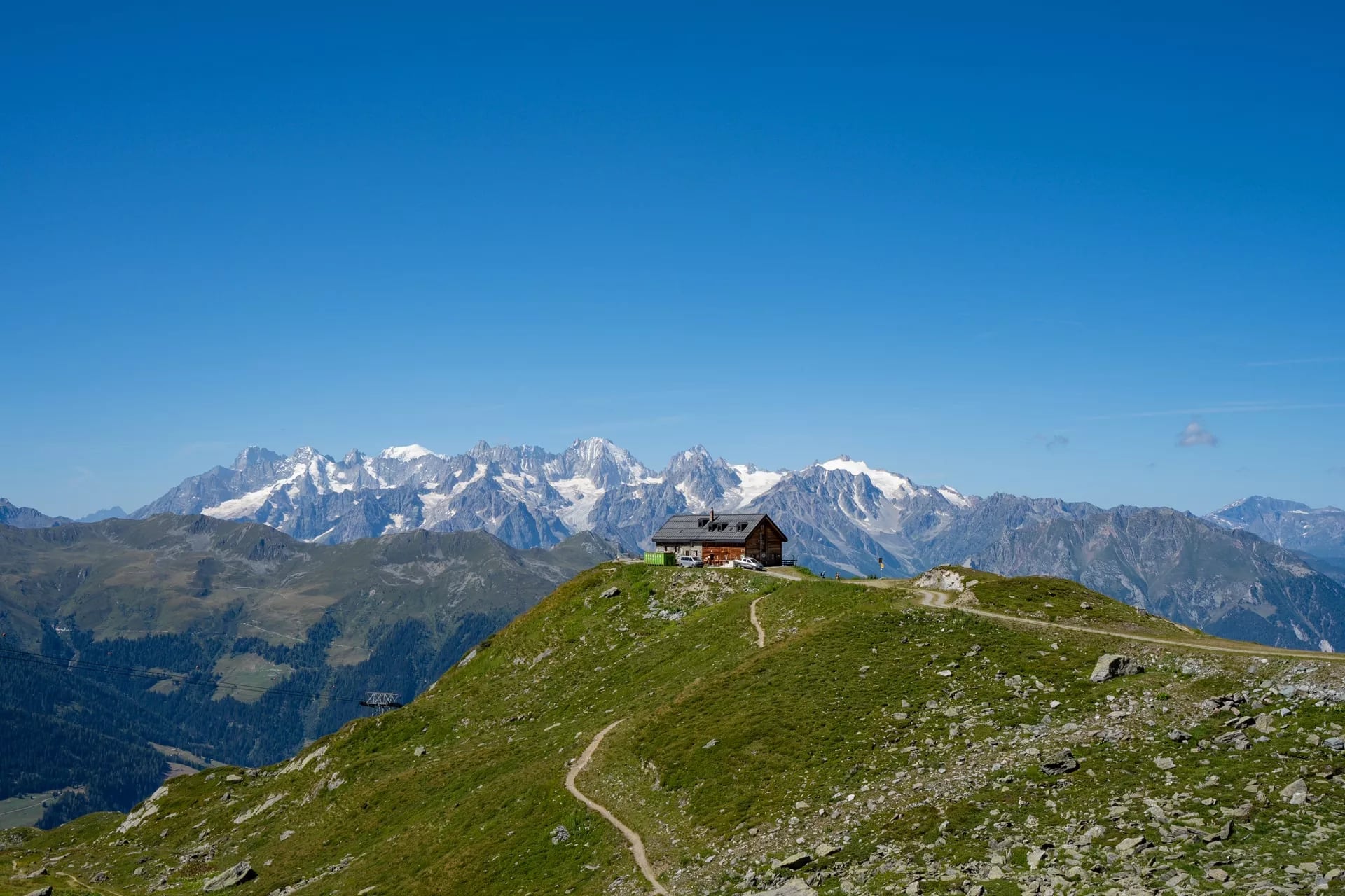
The Alps and Pyrenees are served by refuges de montagne. The FFCAM and its Club Alpin Français sections own around 120 of them, and the rest belong to communes, the national parks or private guardians. Most offer half board: a bunk in a shared dormitory, dinner and breakfast. Most take cards now, but carrying cash at altitude is sensible.
On the GR10 and the Stevenson Trail the beds are gîtes d'étape and chambres d'hôtes instead. They are more variable and often better than the standardised alpine huts, because a family guesthouse in the Cévennes is a different proposition from a 60-bunk dormitory at 2,000 metres.
Booking lead times are the thing people get wrong. For the Tour du Mont Blanc and GR20 in July or August, book when the calendars open, typically January or February. By mid-March, July nights on both are largely gone.
September is more forgiving on both, where three or four months out is usually enough. The GR10 central section and the Stevenson Trail want two to three months in peak summer and four to six weeks outside it. Brittany in July and August wants two to three months for the popular coast.
What to Pack for Hiking in France
The list changes more by route than by season, so start with the footwear. Boots with real ankle support for the GR20 and the Haute Route, where the ground is rock and the descents are long enough to punish a soft sole. Trail shoes are plenty for the Stevenson Trail and the Breton coast.
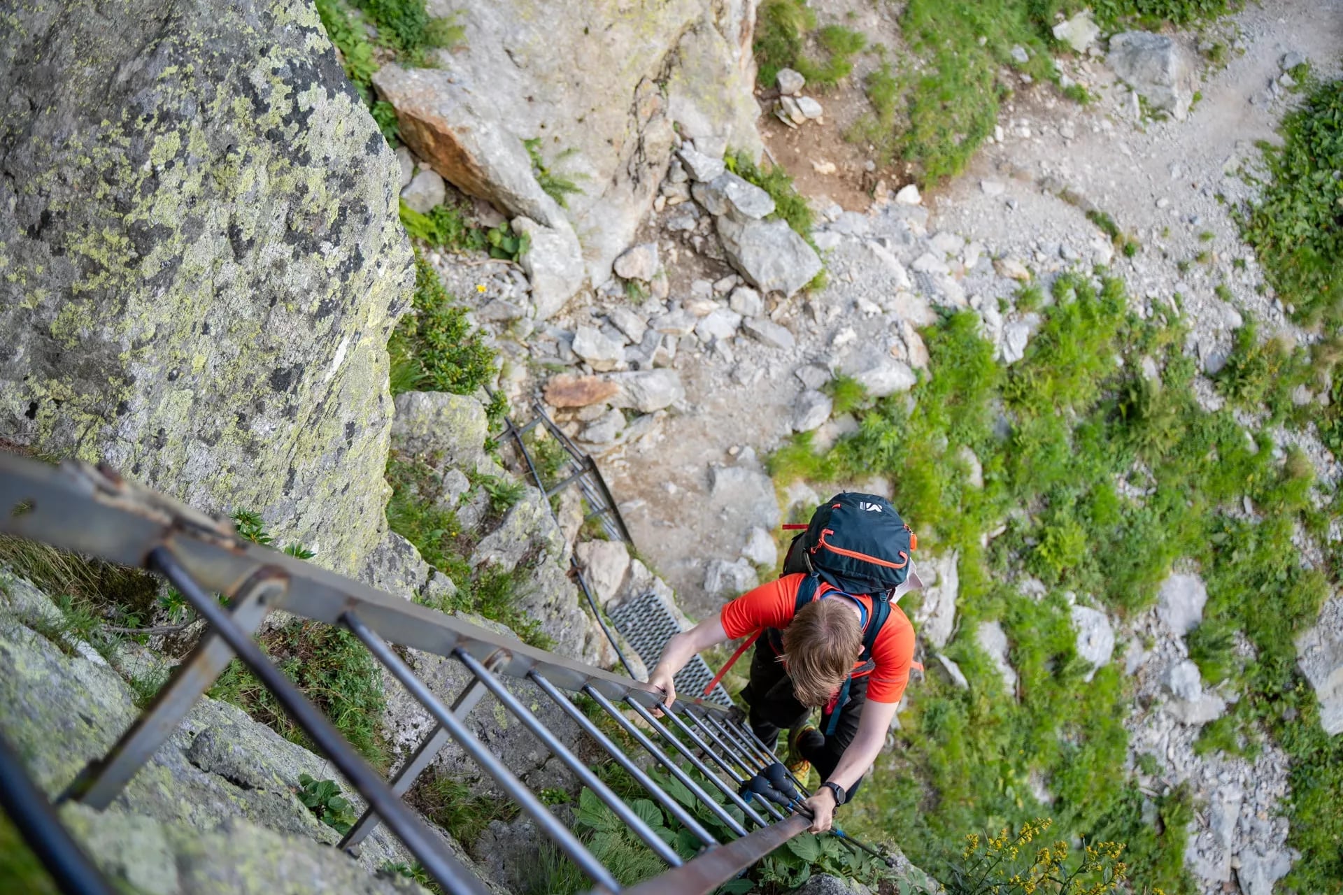
Poles stop being optional on the GR10 by about the third day, and they earn their place on the GR20 descents too. On the flat coastal and Cévennes routes they are a preference rather than a necessity, which is worth knowing before you buy a pair for a week that does not need them.
Then the weather layer. Alpine and Pyrenean weather turns inside an hour, so a shell that holds up in sustained rain matters more than the number of layers under it, and a warm mid-layer earns its weight at 2,000 metres even in August. On the southern and coastal routes the same shell is doing a different job, keeping Atlantic rain out rather than mountain cold.
Carry two litres of water capacity as a baseline and treat it as a minimum on the dry northern GR20 stages and anywhere in Provence in summer. A head torch is not optional on Corsica, where afternoon storms push you into dawn starts, and it is the single item people most often leave at home.
For the huts, pack light rather than more. Refuges provide blankets, so a sleeping bag liner beats a bag, and most now take cards though cash still saves arguments at altitude. Earplugs are the cheapest thing in the bag and the one experienced hut walkers never travel without.
The rest is sun and skin. The Corsican and Provençal sun is stronger than northern walkers expect and the garrigue and the granite give no shade at all, so a hat, high-factor cream and something long-sleeved do more for a week's comfort than any piece of gear.
Getting to France's Trailheads
The transfer from your arrival airport or station to the trailhead is the leg worth booking first, because it is the one with the fewest departures in the day.
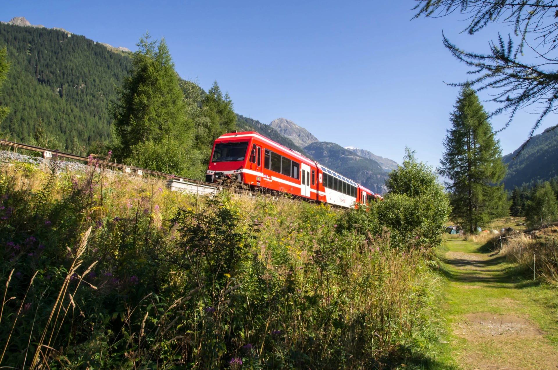
Tour du Mont Blanc and Walker's Haute Route: Geneva, then the valley train or a shuttle up to Chamonix and Les Houches
GR10, Pyrenees: Toulouse, Pau or Lourdes, with Lourdes on the rail line that runs along the northern edge of the range
GR20, Corsica: Calvi, Bastia or Ajaccio by air, or a ferry from Nice, Toulon or Marseille, then a bus or taxi to Calenzana or Conca
GR70, Stevenson Trail: train from Lyon to Le Puy-en-Velay, and a bus from Saint-Jean-du-Gard to Alès or Nîmes at the end
GR34, Brittany: TGV from Paris to Rennes, Saint-Malo, Brest or Quimper
Provence: Avignon for the Luberon and Marseille for the Calanques
Two things to plan around. Corsica's ferry frequency drops sharply outside the summer months, so check the operator before you fix your dates rather than after. And on the point-to-point routes, the GR10 and the GR34 especially, the return leg is a separate journey from a different town rather than a reverse of the outward one, so settle both ends before you commit to a stage.
Water, Weather and Training
Water sources are reliable on most routes but the spacing varies. Some northern GR20 stages run long and dry, so fill at every chance. In Provence in summer sources fail completely, which is another reason not to walk there in August.
Weather in the Alps and Pyrenees is volatile. Afternoon storms build fast in summer, so starting by seven gives you the stable morning window and gets you off the exposed ridges before it turns. Météo-France publishes mountain-specific forecasts worth reading the evening before each stage.
Language is less of an issue than it was. English is spoken at most alpine refuges and in the tourist offices of the popular valleys. On the central GR10 and the Stevenson Trail French is far more useful, and trail vocabulary goes a long way.
Training is the part people skip. The Tour du Mont Blanc, GR10 and GR20 all mean consecutive days of real climbing, so build a base of multi-hour walks with a loaded pack over the two or three months before you fly, back-to-back days included. Starting undertrained is the main reason people quit these routes early.
Frequently Asked Questions
Planning Your Trip
The network is wide enough that choosing is harder than finding. The Tour du Mont Blanc is the natural first alpine circuit and the GR20 is the one people work towards. Between them sit weeks of Pyrenean high country, a literary walk through the Cévennes and 2,000 kilometres of Breton coast.
If you are not sure which route fits your fitness and your timeframe, get in touch and we will work through the options with you.

About this author
Ajda is our travel advisor, raised in a village surrounded by mountain peaks. Hiking entered her life early on and remains her favorite way to reconnect with nature.