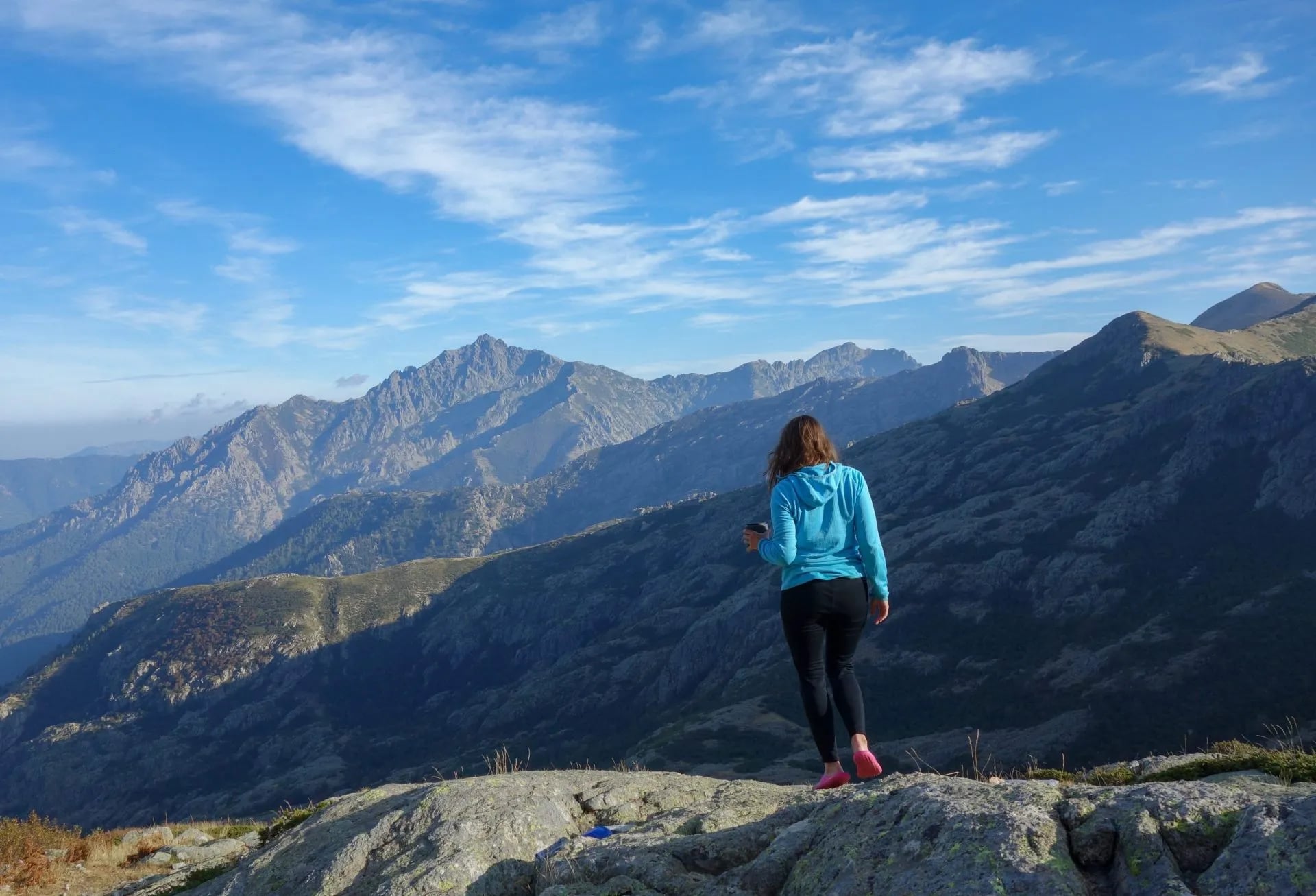
Hiking in Corsica: The Complete Trail Guide
Wild granite, 12,000m of ascent, Europe's hardest trail. Your complete guide to hiking in Corsica; trails, refuges, when to go, and how to get there.

Suzana
Published August 11, 2026
Edited September 3, 2026
17 min read
Quick links
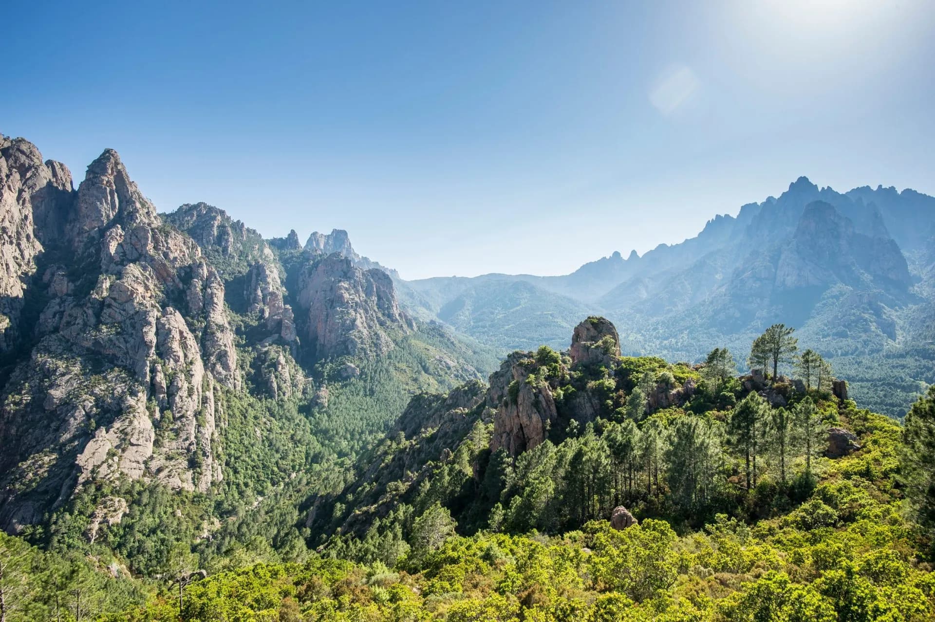
Corsica is two islands in one. From the coast, it looks like a Mediterranean postcard. Pale beaches, turquoise water, cypress and maquis. Step inland and the landscape shifts completely: granite peaks above 2,700 metres, ridgelines still holding snow into July, and trails that have humbled experienced hikers from across Europe.
The island packs more vertical relief into its 183-kilometre length than most mountain ranges on the continent, which is exactly why it draws serious walkers year after year.
The GR20 made Corsica's reputation on the hiking map. But the island has more going for it than one legendary route. Whether you're here for 16 days on Europe's hardest long-distance trail or five days crossing from coast to coast through chestnut villages, Corsica has a walking holiday that fits.
This guide covers everything you need to plan one, and the grades used throughout follow our hiking difficulty guide.
Best hikes in Corsica
Corsica has one trail that gets all the attention and several that deserve far more. The GR20 is the headline act, demanding, spectacular, and rightly famous, but the island's network of long-distance routes covers terrain the GR20 never touches: coastal villages, chestnut forests, Baroque churches, and river gorges that only the coast-to-coast paths pass through.

GR20: Europe's toughest long-distance trek
The GR20 runs 180 kilometres from Calenzana in the northwest to Conca in the southeast, crossing the island's granite spine with 12,000 metres of cumulative elevation gain. Most hikers take 15 to 16 days to complete it, though some push it into 12 or even fewer.
Around 10,000 to 20,000 people attempt it each year, making it the busiest trail on the island, though in the high mountain sections you'll rarely feel crowded. If you're planning to tackle it, our complete GR20 guide covers every stage, logistics, and what to expect in detail. It also earns its place in our round-up of the 10 best hiking trails in Europe.
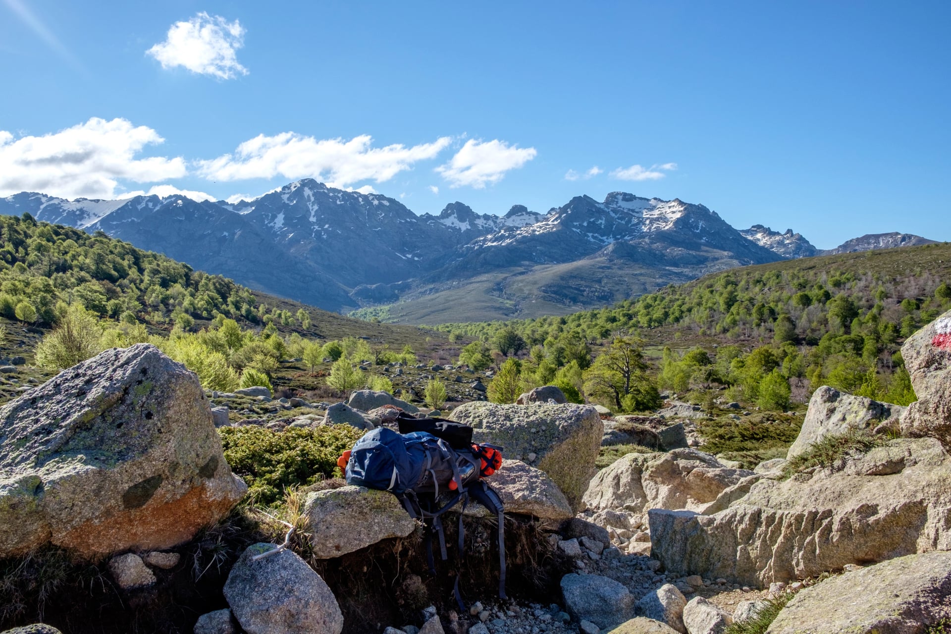
The difficulty is not overstated. This is not a trail where you follow a gentle ridgeline; large sections require scrambling over bare rock, crossing snowfields in early season, and using fixed chains and ladders to descend steep faces.
Footwear matters: trail runners suit fast hikers on the southern section, but many experienced walkers still prefer leather boots with ankle support for the north.
North GR20 (Calenzana to Vizzavona)
The harder half. Eight trekking stages through the island's most rugged terrain: Lac de Nino, the long exposed ridges above Haut-Asco, and the ground where the Cirque de la Solitude used to be. After the fatal rockfall of June 2015 the Cirque was taken out of the GR20 for good, and the route now climbs instead to the Pointe des Éboulis at about 2,604 m, the highest point on the trail, before dropping via Bocca Crucetta to Tighjettu. The old chasm is no longer signposted or equipped.
Technical grade 5/5 by most assessments, and the half our North GR20 week covers.
South GR20 (Vizzavona to Conca)
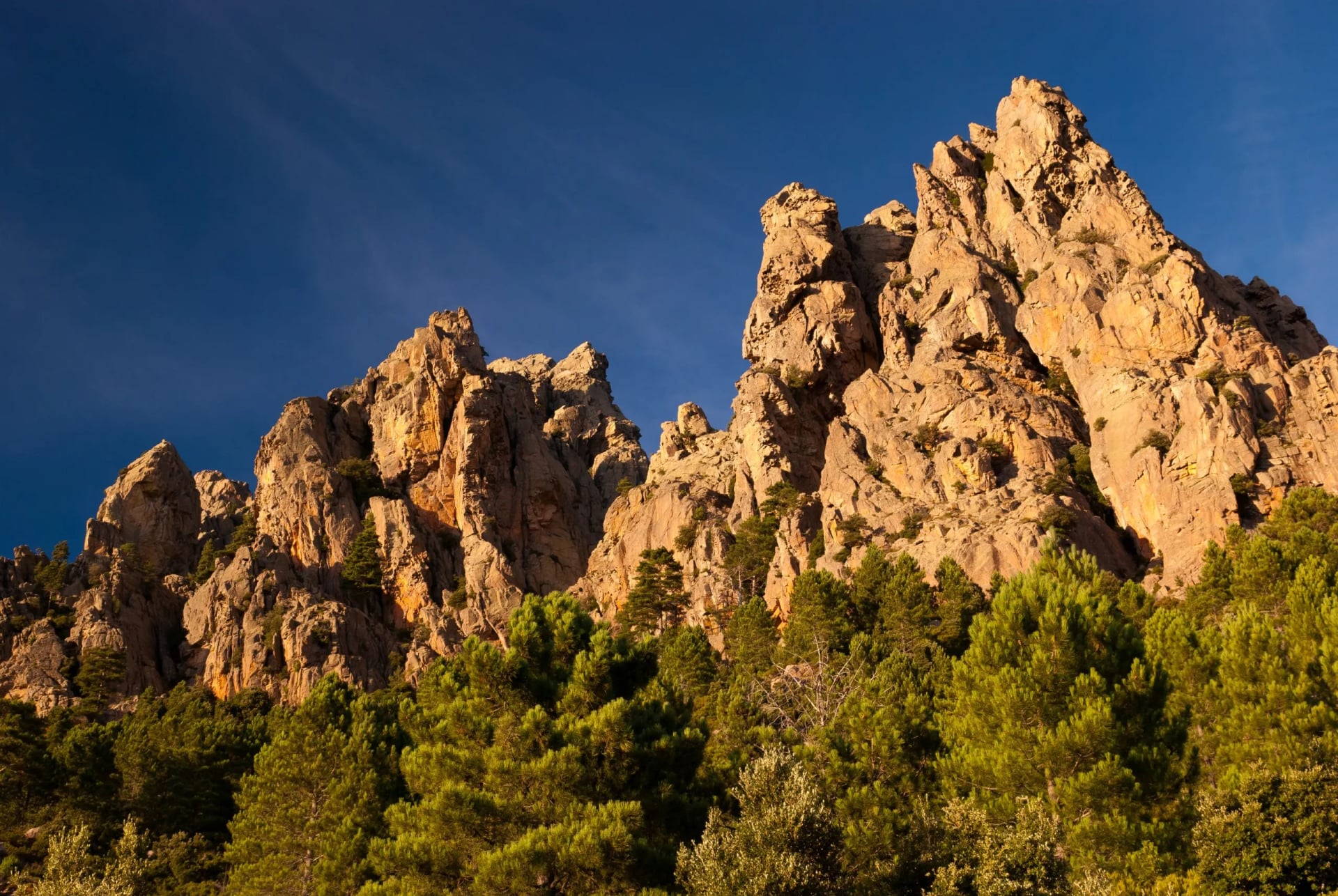
Longer in distance but lower in technical demand. The terrain opens out into pine forest, alpine lakes, and the striking granite needles above Bavella.
A good fit for hikers drawn to the GR20's reputation who aren't ready to commit to the north's more demanding passages.
Technical grade 4/5, which is the half our South GR20 week walks.
Mare e Monti: sea and mountains
The Mare e Monti (sea and mountains) trail is the GR20's more sociable cousin.
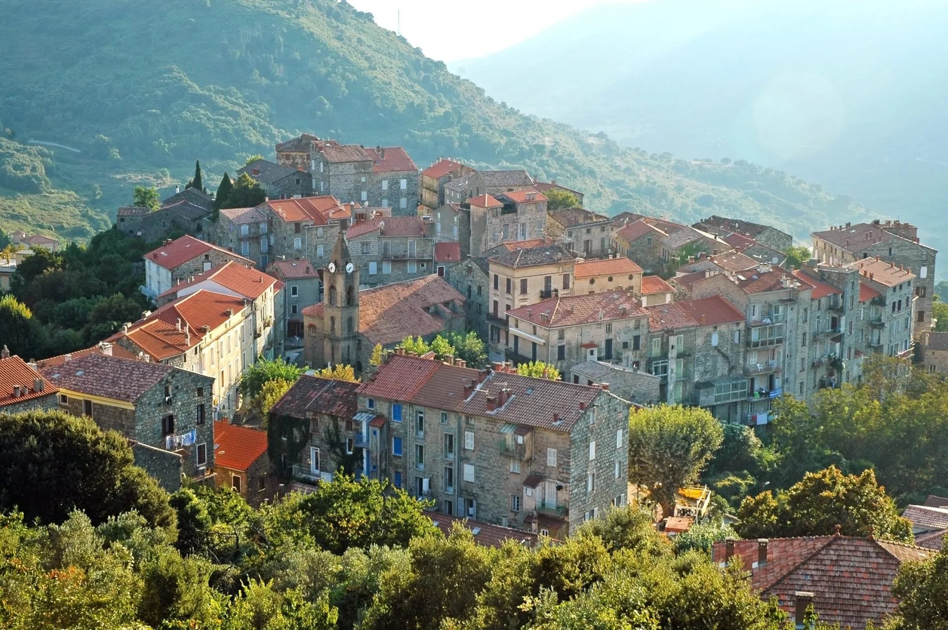
Ten trekking stages link Calenzana on the west coast with Cargèse, dropping through maquis-covered hillsides, traditional Genoese villages, and river gorges. Elevation gain is significant but the technical demands are minor. No chains, no exposed scrambling. Most walkers complete it in 10 to 12 days.
It's possible to hike year-round, though May and October are the sweetest months.
Accommodation is in village gîtes rather than mountain refuges, which means hot showers, local food, and a cold Pietra at the end of each stage, a different register entirely from the GR20.
How hard is hiking in Corsica?
The honest answer is: Corsica has trails for almost every ability level, but it also has the GR20, which is genuinely demanding.
Most hikers who struggle on the GR20 do so not because they're unfit, but because they underestimated the technical terrain. Loose rock, exposed slabs, and steep descents that require confidence and good footwork, not just cardiovascular endurance.
A useful way to think about it: if you've done multi-day mountain hiking in the Alps or Pyrenees and felt comfortable on technical terrain, the GR20 is achievable. If your experience is limited to well-maintained European walking trails, the lower-altitude routes described above are better starting points and still deliver everything that makes Corsica extraordinary. If you're building towards it, our guide on how to train for hiking sets out where to start.
Our Corsica Walking tour was built for exactly this group. Eight days on the island's easier interior paths, with the food and culture that the GR20 largely bypasses.
Duration: 8 days based in Bocognano
Walking days: five day hikes plus a rest day
Highlights: Vivario to Vizzavona, the Tavignano valley and the Gorge de la Richjusa
Style: self-guided, out and back from one base
Corsica's trail network classifies difficulty across three dimensions:
fitness (daily distance and elevation)
terrain (rock type, steepness, path condition)
exposure (consequence of a slip)
The GR20 scores high on all three in the north. The southern section and the coast-to-coast routes score much lower on terrain and exposure, while still demanding reasonable daily fitness.
When to go: best time to hike Corsica
June and September are the best months for hiking in Corsica. Temperatures at altitude sit between 15°C and 25°C during the day, the refuges are open and staffed, and the trails are far less busy than in midsummer. Spring wildflowers are still visible in early June; September brings warm evenings and the first autumn colour.
July and August are workable but come with trade-offs. Heat at low altitude can be punishing as temperatures in the valleys regularly exceed 35°C, and the trail is at maximum capacity in August. Start early (before 7am on the GR20) and carry extra water. Flights, ferries, and refuges book out well in advance.
GR20 weather in midsummer also means frequent afternoon thunderstorms above 2,000 metres. Storms build fast on the ridge sections, sometimes with little warning. Starting early isn't just about the heat; it's about being off exposed terrain before early afternoon. Our mountain safety guide covers what to do when weather catches you high up.
May is possible for experienced hikers on the southern GR20 and the lower-altitude routes. The northern GR20 often holds significant snow into mid-June, requiring crampons and ice axe competence in some years. Check current conditions with the Parc Naturel Régional de Corse (PNRC) before heading north in May.
October onwards: the PNRC refuges close in early October (staffed period 2026: 16 May to 4 October). The trails remain passable but accommodation in the high mountains disappears. The lower-altitude routes stay accessible well into autumn.
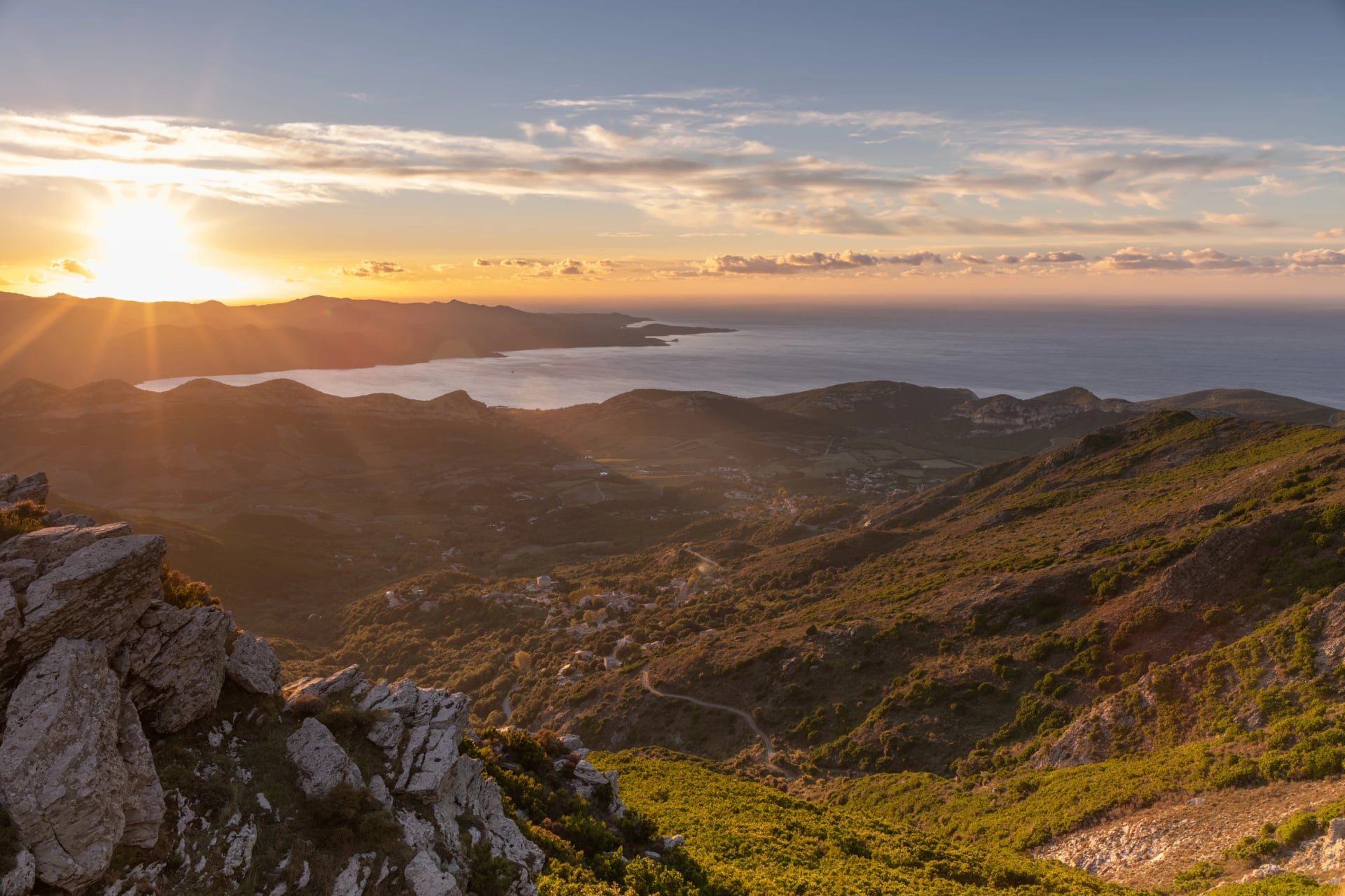
Year-round hiking: The coast-to-coast routes and the Mare e Monti are genuinely walkable outside the summer window. October and November bring cooler temperatures, quieter villages, and the chestnut harvest.
April is similarly rewarding with wildflowers that cover the lower slopes, gîtes are open, and you'll often have the paths to yourself.
Getting to Corsica
Corsica has four airports. Which one to use depends on your route.
For the GR20 North (starting in Calenzana), fly into Calvi. Calenzana is 13 kilometres away, connected by Corsicar bus in around 30 minutes. Services run several times daily in high season but are limited at weekends, so check timetables in advance. Alternatively, fly into Bastia and take the train via Ponte Leccia to Calvi (around 4 hours total).
For the GR20 South (finishing in Conca), the closest airport is Figari, near Porto-Vecchio. A taxi from Figari to Conca takes around 45 minutes. Ajaccio is also an option with more frequent connections from mainland Europe, though it adds transfer time.
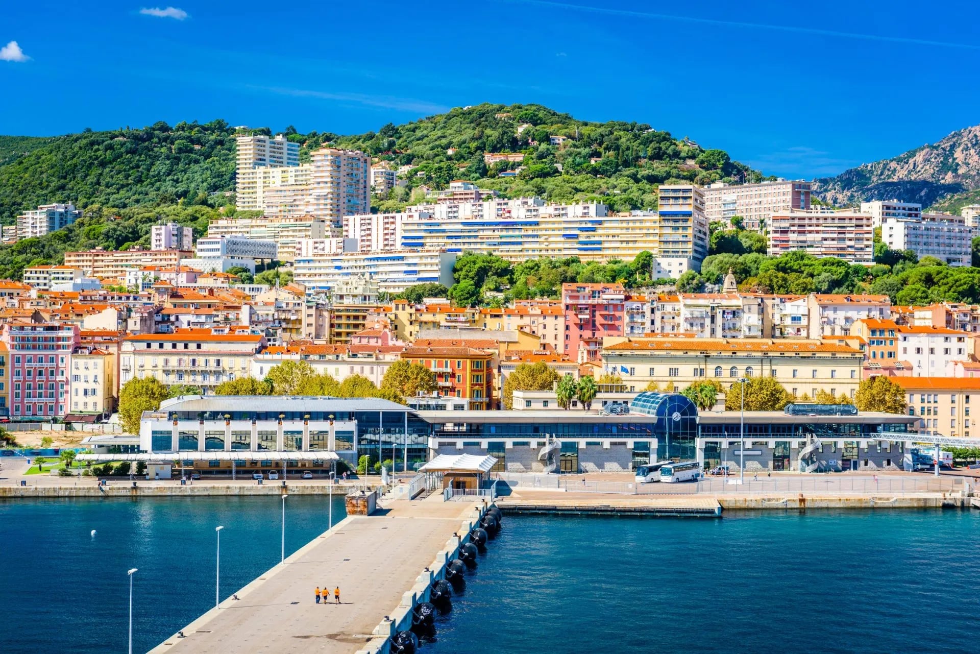
For Ajaccio-area routes and Mare a Mare Centre/Sud, fly into Ajaccio (Campo dell'Oro), the island's main hub with the most year-round connections from Paris, London, and other European cities.
By ferry: Corsica is accessible by overnight or day crossings from Nice, Marseille, and Toulon (France) and from Genoa, Livorno, and Savona (Italy). The crossing from Nice to Bastia or Calvi takes 6 to 7 hours by fast ferry. Booking in advance is essential in July and August.
Where to stay: refuges, tents and bergeries
The PNRC operates 11 staffed refuges along the GR20, each positioned roughly one stage apart. All overnight stays, whether in a dormitory bunk, a rented refuge tent, or a bivouac pitch on your own tent, must be booked in advance. Bookings typically open in January for the coming season; places fill fast, particularly in July and August.
If you'd rather not navigate the booking system yourself, our self-guided Corsica tours include all refuge reservations as part of the package. One less thing to manage before you leave.
Three accommodation tiers are available:
bivouac (your own tent on a designated pitch, the most affordable option)
dormitory bunks inside the refuge building
rented tents provided by the PNRC
All include access to the refuge facilities; running water, toilet, and usually a small meals service or snack bar. Current pricing is published each year on the PNRC booking platform.
Beyond the PNRC refuges, several stages pass private bergeries and gîtes where meals and beds are available. These are not part of the central booking system, so contact them directly and well ahead of the season.

Modification and cancellation terms are set by the PNRC and updated each season. Review the current policy carefully when booking, as conditions vary by accommodation type.
Essential gear for hiking in Corsica
The GR20 demands a proper mountain kit.
Even in summer, conditions above 2,000 metres change fast, afternoon thunderstorms are common from late June onwards, and temperatures drop sharply after dark. A waterproof shell, warm mid-layer, and a sleeping bag rated to 0°C (the refuges provide mattresses but not blankets) are non-negotiable.
For footwear: stiff-soled mountain boots are the safest choice for the GR20. Experienced trail runners manage on the southern section, but grip matters more than weight on Corsica's wet granite slabs.
Trekking poles are worth bringing. Not for ascents, where you'll often need both hands free on the steeper sections, but for the long descents that put sustained pressure on the knees. That said, plenty of hikers complete the GR20 without them. Good knee-strengthening exercises will do more for you than poles used for the first time on trail.
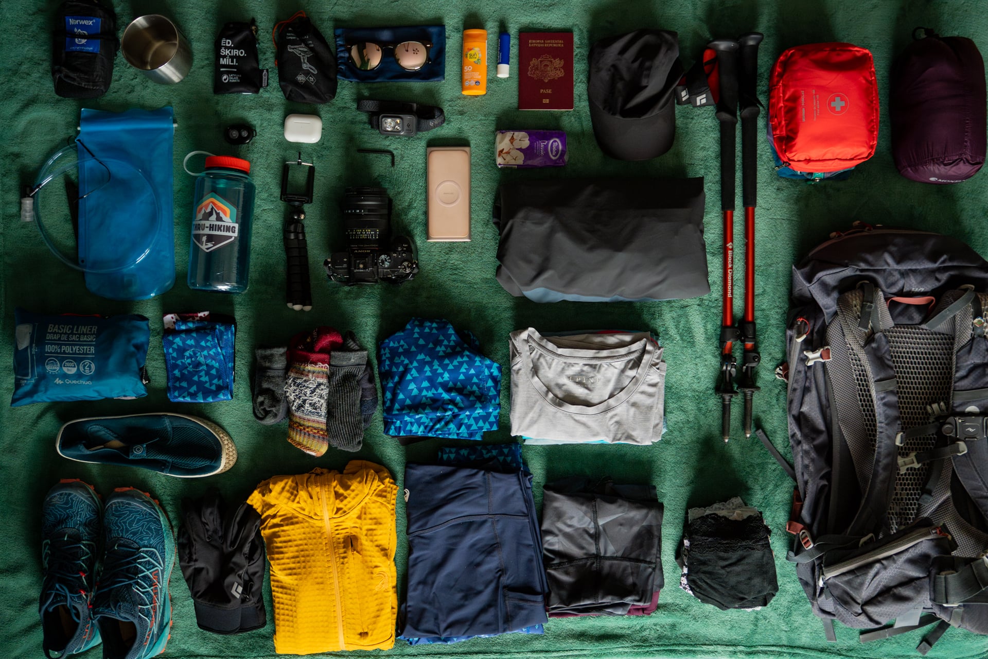
Sun protection is underestimated. The combination of high altitude, Mediterranean latitude, and granite reflection means UV exposure is intense even when it doesn't feel hot. Factor 50, a hat, and sunglasses are essential from the moment you leave the tree line.
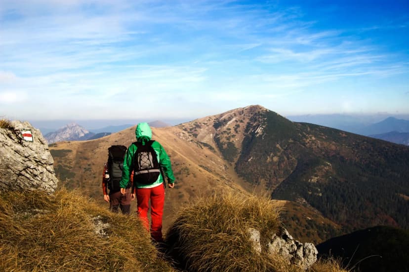
Maps and navigation. The GR20 is waymarked with red and white paint blazes throughout and is well-maintained. You're unlikely to get lost on the main route. That said, a Corsica hiking map is worth carrying: the IGN 1:25,000 series covers the GR20 across four sheets. For the coast-to-coast routes, the IGN regional map at 1:100,000 is adequate. Our self-guided tour packages include detailed digital maps and GPS tracks, but a paper backup is sensible in areas with poor mobile signal. Our guide to trail markings around the world explains how blaze systems differ from country to country.
If you're hiking the village routes: the kit list simplifies considerably. Comfortable trail shoes, a light waterproof, and a daypack will cover most situations. You're sleeping in beds and eating in restaurants, not bivouacking on granite. Pack accordingly and you'll carry a third of the weight of a GR20 hiker going in the same direction.
Worth knowing before you go
The maquis
Corsica is sometimes called the Île Parfumée, the Perfumed Isle.
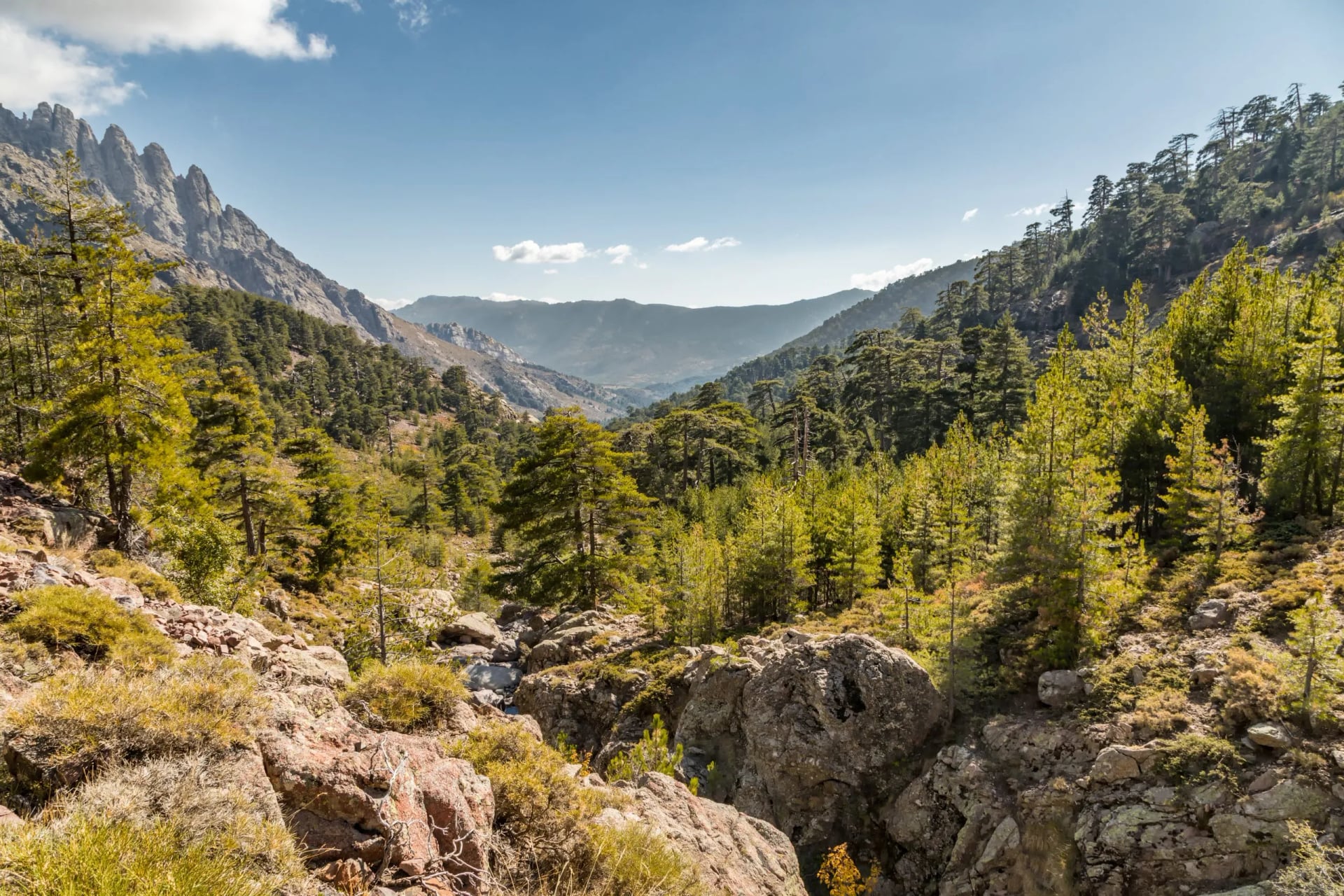
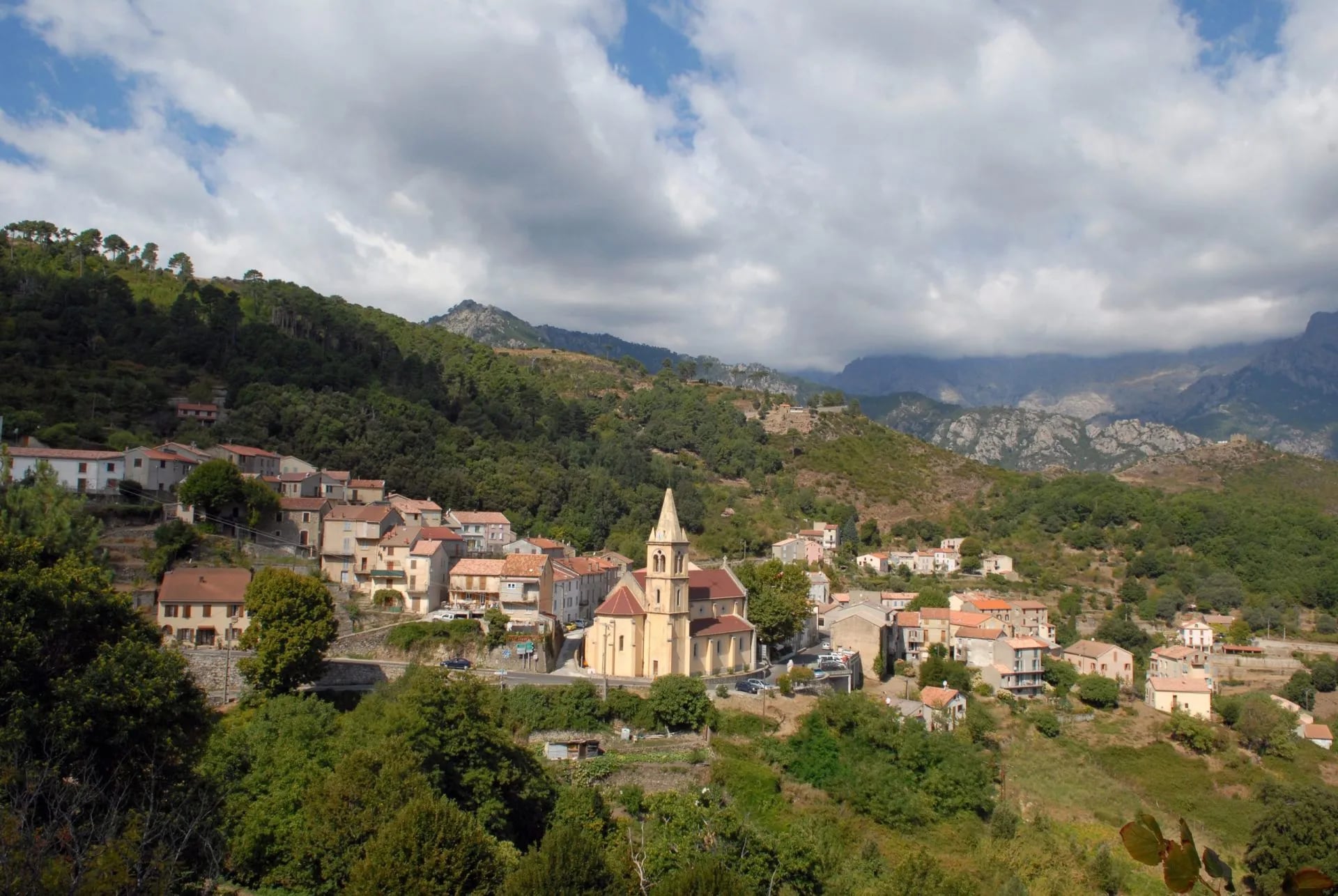
If you've descended from a high ridge into the lower scrubland on a warm evening, you'll understand why. The maquis covers much of the island below 1,000 metres: a dense tangle of wild rosemary, lavender, cistus, and myrtle that fills the air with a smell unlike anywhere else in Europe.
On the GR20's lower approach stages and on the coast-to-coast routes, you walk through it for hours.
Fire closures
Between June and September, prefectural orders can close trails with less than 24 hours' notice in the event of extreme fire risk.
Check before you set off in high summer. Météo-France publishes a mountain bulletin for Corsica, and the prefecture publishes the closures themselves, which can land the evening before a stage you were counting on.
This isn't rare, it happens several times each summer, particularly on lower routes passing through the maquis.
Check the Préfecture de Corse website and the PNRC conditions page before each day's stage. The GR20 above 1,500 metres is rarely affected, but approach and exit stages can be.
Water on the GR20
Most stages have reliable water sources. Streams, snowmelt channels, and fountain points at refuges, but a handful of sections between refuges can dry up by mid-August.
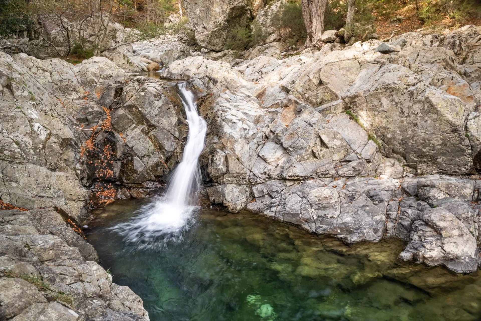
The PNRC publishes a water source map updated each season; check it before a long stage rather than trusting last year's accounts.
The laricio pine
The forest around Vizzavona, the midpoint of the GR20, contains some of the oldest Laricio pines in Europe. Endemic to Corsica, these trees grow at altitude between roughly 1,000 and 1,800 metres, and in the right conditions they live for centuries.
A few of the specimens here are thought to be 500 years old and push 50 metres in height. The trunks are extraordinary up close: silver-grey bark, deeply furrowed and perfectly straight. So straight that the Genoese once harvested them extensively for ship masts.
The section from Vizzavona to L'Onda passes through their canopy, the light filtering down in columns through branches that barely begin until 20 metres up. It's one of the quieter, less-photographed stretches of the GR20. Slow down if you have any margin in your day.
Corsican identity
The island has a fiercely independent political culture that runs well below the tourist surface, and as a hiker you'll encounter it in small but consistent ways.
Road and trail signs are often painted over in Corsican, the island's own language, a language closer to Italian than to French, which is widely spoken locally and taught in schools.
French remains the only legally recognised official language. Corsican's formal status has been the subject of sustained political debate for decades. French place names get crossed out and replaced with their Corsican equivalents; you'll see this on approach roads and in villages along the Mare a Mare routes in particular.
The Moor's head, Tête de Maure, a white face in profile on a black field, appears everywhere: on the regional flag flying from mairies, on charcuterie packaging. It's the island's emblem, documented in Corsican heraldry since the 14th century; the modern form of the flag was established by Pascal Paoli during the 18th-century Republic of Corsica.
Corsicans are generally warm to visitors who come with genuine interest rather than treating the island purely as a backdrop for a difficult walk.
A few words of French go a long way; an interest in the food, the language, or the landscape beyond the trail goes further.
Napoleon was born in Ajaccio, and the city wears this heavily, but Corsicans' relationship with him is more complicated than the mainland French narrative suggests. He left at 15 and never really came back.
Wild pigs
Sangliers, wild boar, are common on lower trails, especially in the early morning and at dusk. They won't approach you but can appear suddenly on narrow paths.
Don't approach them; mothers with young are unpredictable.
The food
Corsican cuisine is worth planning around, not treating as an afterthought.
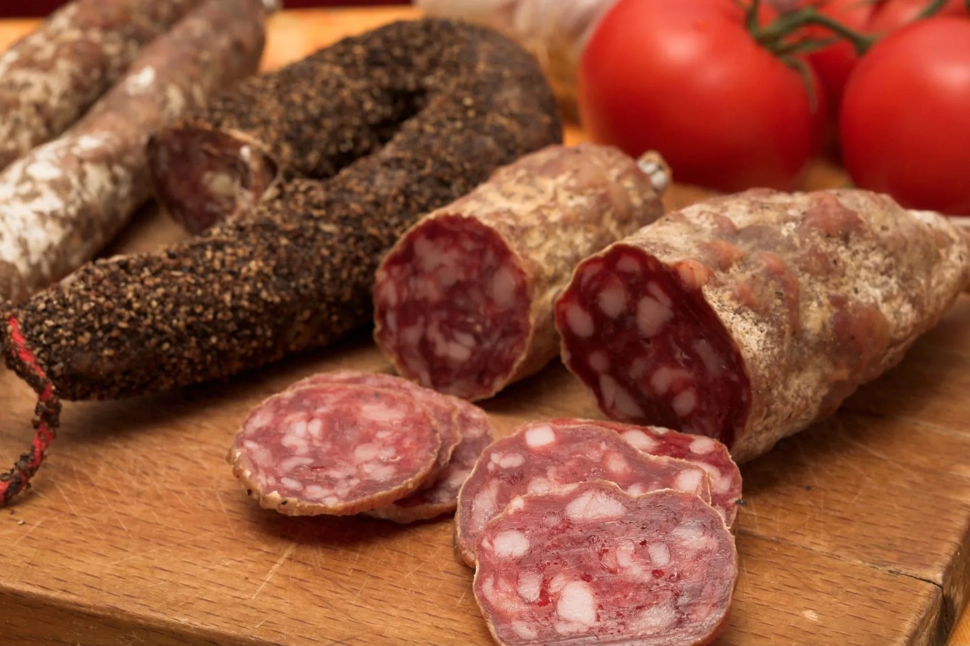
The island's charcuterie, lonzu (cured loin), coppa (neck), figatellu (liver sausage), carries AOC/AOP designation and tastes nothing like its mainland equivalents, partly because the pigs range free through the maquis and chestnut forest.
Brocciu is the island's fresh sheep or goat cheese, used in everything from omelettes to pastries; it's seasonal (November to June) and remarkable eaten simply with a drizzle of local honey.
On the village routes, gîte dinners often feature all of this as a matter of course. On the GR20, the refuge snack bars stock Corsican staples too, but it's the coast-to-coast routes that put you in kitchens where this food is made.
Frequently asked questions
Is the GR20 suitable for beginners?
Not as a first hiking trip. The GR20 requires prior experience of multi-day mountain walking, comfort on technical terrain, and the fitness to sustain 6–9 hours of walking daily with a loaded pack.
How many days do I need for the full GR20?
Most walkers take 15 to 16 days from Calenzana to Conca, covering one official stage per day. Faster hikers complete it in 12 days by combining certain stages. Going slower than 16 days is also possible but accommodation logistics become trickier beyond the standard stage system.
Can I hike just part of the GR20?
Yes, the split into North and South is the most natural division, with Vizzavona (accessible by train from Bastia and Ajaccio) as the midpoint. Both halves are fully self-contained and offered as separate tours. The southern section is the better choice for a first GR20 experience.
Do I need permits to hike in Corsica?
No permit is required for day hiking. For overnight stays in the GR20 refuges, advance booking through pnr-resa.corsica is mandatory, not optional. Free camping outside the designated bivouac zones is prohibited across the Parc naturel régional de Corse, and the rule is enforced.
What if I want to hike in Corsica but the GR20 sounds too demanding?
The island has genuinely good alternatives. The Mare e Monti links the west coast's Genoese villages over 10 stages with no technical terrain. The Corsica Walking Holidays tour was designed exactly for this. Eight days through Corsica's interior on easier paths, with comfortable accommodation and the island's food and culture woven in.
What language do I need on trail?
French is the primary language. Corsican (a distinct Romance language closer to Italian) is widely spoken locally and appears on trail signs alongside French. English is understood in most refuges and gîtes during hiking season, but a few French phrases for emergencies and ordering food go a long way.
The island rewards those who come prepared
Corsica is not a destination that gives itself up easily. The trails are demanding, the weather is variable, and the logistics require planning. But that's precisely what makes it worthwhile. The island's wildness is not incidental, it's the point.
Whether you're here for the full GR20 crossing or a gentler introduction through its interior, you'll leave with something more than photos of a Mediterranean island.
If you'd like help choosing the right route or putting together a self-guided itinerary, get in touch →

About this author
Suzana is our travel advisor and a hiker who believes the best trails aren't just about the summits. She loves spotting alpine plants, watching wildlife, and the laughs, chats, and snack breaks that make every trail worth walking.


























.jpg&w=828&q=75)