Hiking in Wales: The Ultimate Guide
Three national parks, the world's first country-length coast path, and a renamed summit, now called Yr Wyddfa. Here's how to plan walking in Wales.

Ajda
Published September 2, 2026
Edited September 2, 2026
14 min read
Don't want to read all this?
We've planned 2,000+ hiking trips. Send your dates, fitness and group size — we'll map the route and book every night.



Wales is, mile for mile, one of the most concentrated hiking destinations in Europe. Three national parks sit within a two-hour drive of each other, an 870-mile coast path circles the whole country, and an 8th-century border earthwork traces the English boundary from Chepstow to Prestatyn — all inside a country you can cross in three hours by car.
One thing to settle before you open a map. The highest mountain here is no longer signed as Snowdon: since 2022 the park authorities lead with the Welsh names, Yr Wyddfa for the summit and Eryri for the park around it, and since 2023 Bannau Brycheiniog for what everyone outside Wales still calls the Brecon Beacons. Both forms are still in print, and this guide uses whichever one you are more likely to be searching for.
At a Glance
Location: Cymru / Wales — the western third of Great Britain, on the Irish Sea
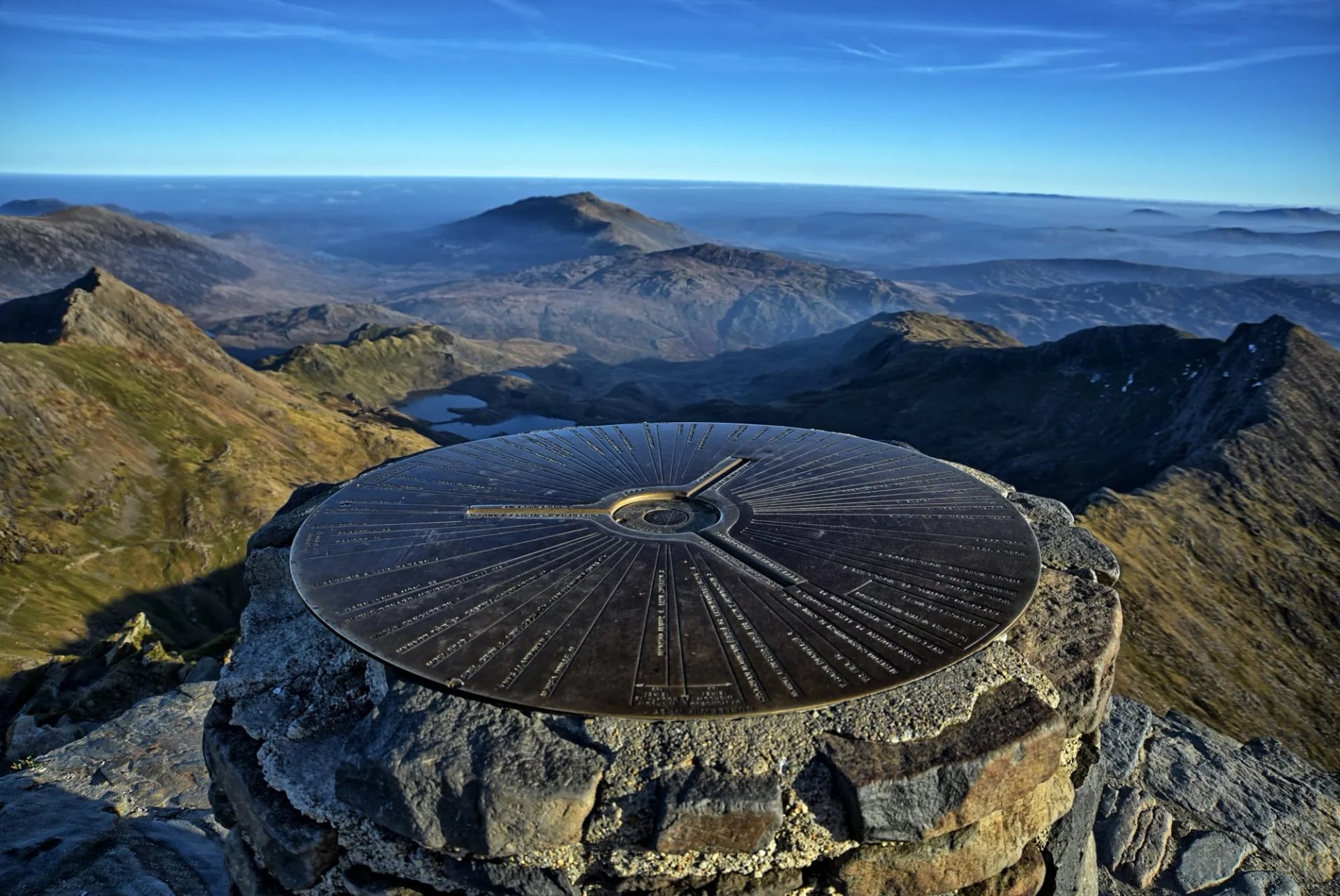
Highest peak: Yr Wyddfa (Snowdon) — 1,085 m, in Eryri National Park
Three national parks: Eryri (north), Bannau Brycheiniog (south), Pembrokeshire Coast (south-west)
Signature long trail: Wales Coast Path — 870 miles / 1,400 km, the world's first country-length coastal path
Border trail: Offa's Dyke Path — 177 miles / 285 km along the English boundary
Best season: May to early October, walkable year-round below 500 m
Language: English is universal; Welsh (Cymraeg) is widely spoken in Gwynedd, Anglesey, and Ceredigion
Nearest airports: Cardiff or Bristol for the south, Birmingham, Manchester or Liverpool for the north
The 3 National Parks
Wales has three national parks, and each one delivers a very different kind of walking week. Together they cover about 20% of the country's land area — one of the highest ratios in Europe.
The three sections that follow take each park in turn, with the long trails folded in where they run: the Pembrokeshire Coast Path is the best stretch of the Wales Coast Path, and Offa’s Dyke has its finest upland miles along the eastern edge of Bannau Brycheiniog. Two areas worth knowing sit outside all three parks — Rhossili Down and the Gower cliffs near Swansea, the UK’s first Area of Outstanding Natural Beauty, and the Elan Valley reservoirs in the Cambrian Mountains, where red kites are overhead most days. The Cambrian Way links the mountain spine for 298 miles from Cardiff to Conwy if you want the rough interior.
Top Hikes in Snowdonia
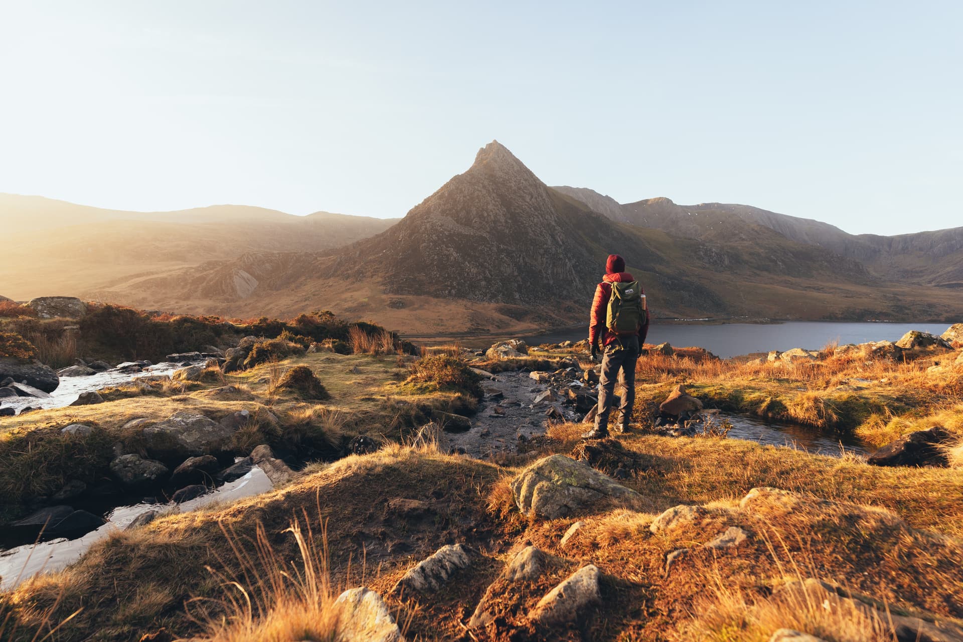
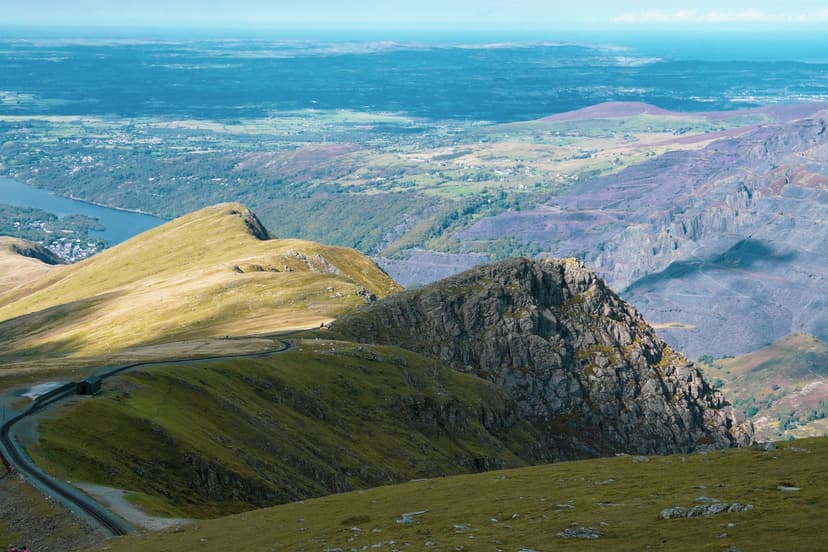
Eryri holds all fourteen Welsh peaks over 3,000 feet, and the traffic concentrates on a handful of them. More than half a million people stand on the summit of Yr Wyddfa every year, which probably makes it the most-climbed mountain in Britain and one of the most-climbed in Europe. The name means the tomb, from the legend that the giant Rhita Gawr lies under the summit cairn.
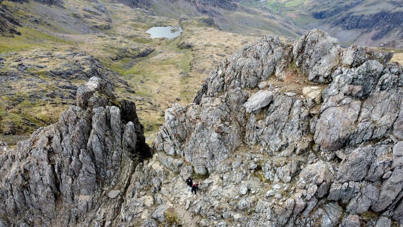
Six main routes reach that summit, from the long and gentle Llanberis Path to the Crib Goch scramble on the Snowdon Horseshoe, and two things about the top catch visitors out. A rack railway runs up from Llanberis in summer, so walkers arriving at Hafod Eryri, the summit cafe, meet a train load of day-trippers. And the queue on Crib Goch in July and August is real: the ridge is single file in places, and a slow party ahead can cost an hour.
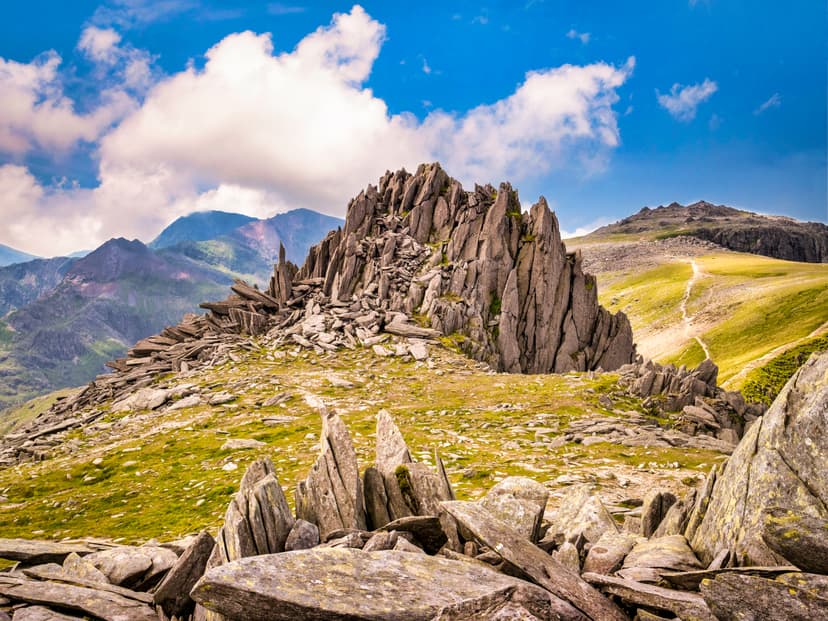
The five below carry most of that traffic. Yr Wyddfa is the one everyone comes for; the other four are where the park gets interesting.
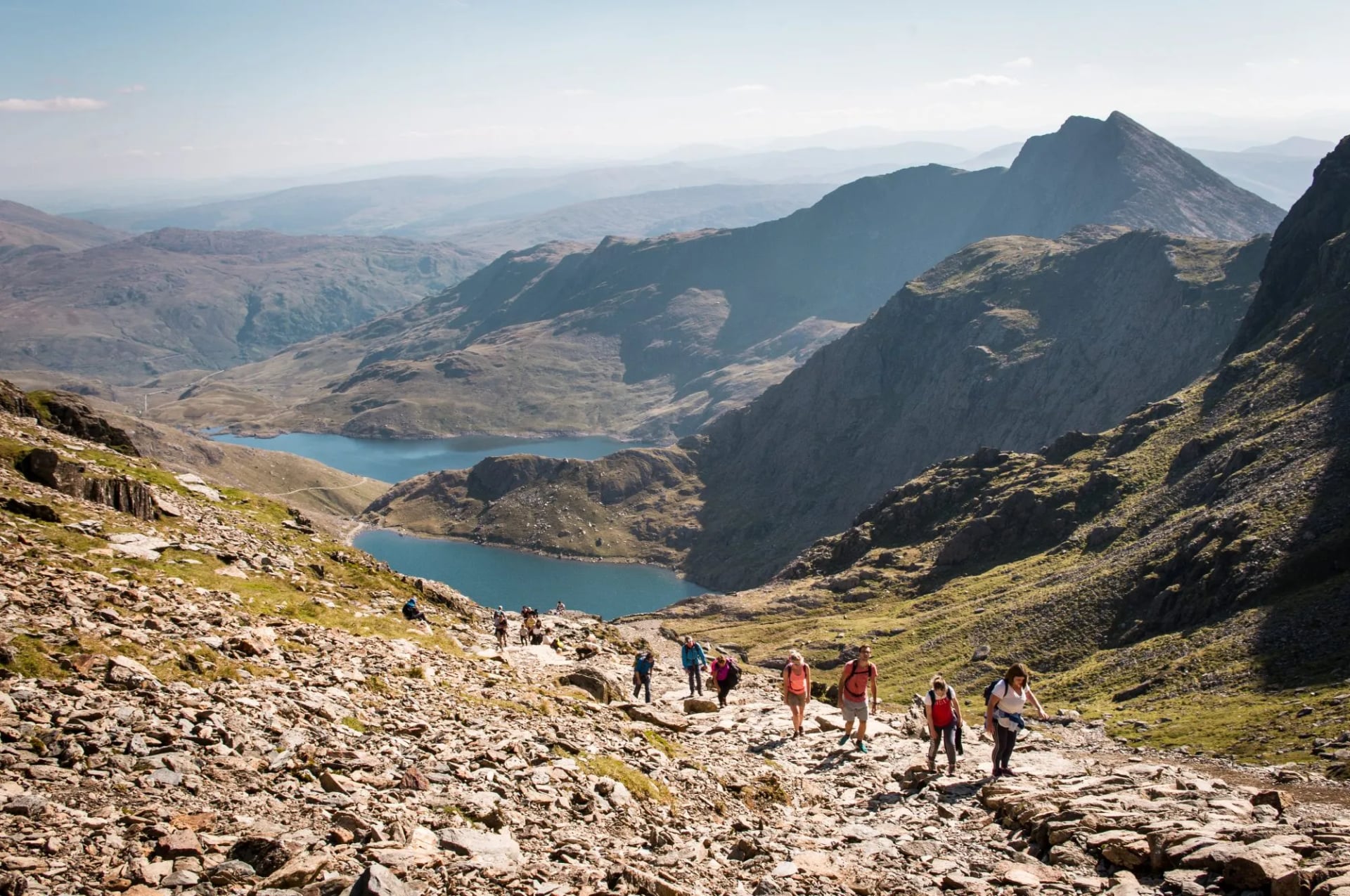
For hikers who want the range's classic peaks with the logistics handled, our Snowdonia trip covers Yr Wyddfa, Cadair Idris and Tryfan in a five-day base-and-day-hike format:
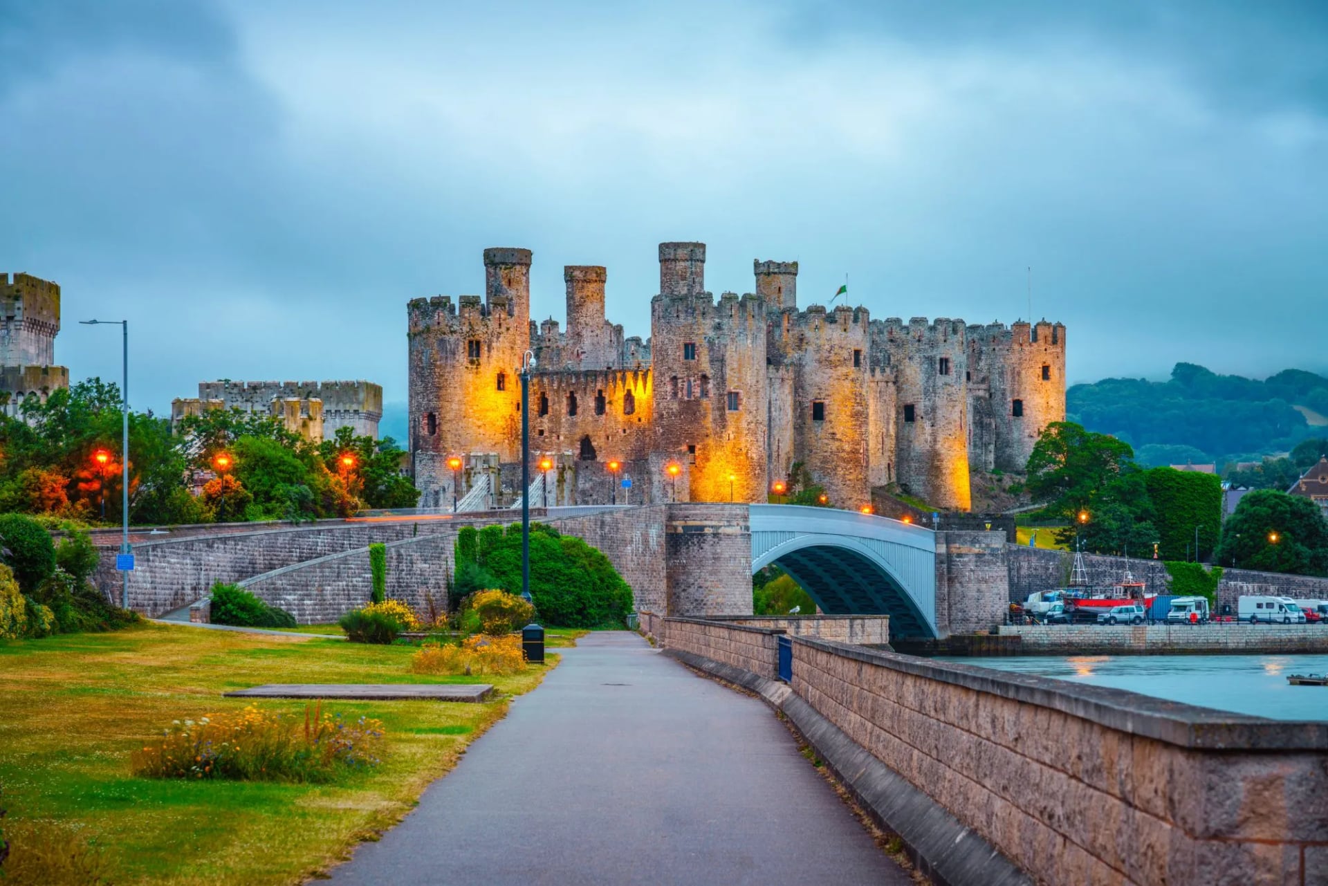
For hikers who want gentler walking with more cultural depth — Norman castles, the Anglesey coast, and villages rather than summit-day exposure — our northern trip is a slower alternative:
Top Hikes in Brecon Beacons
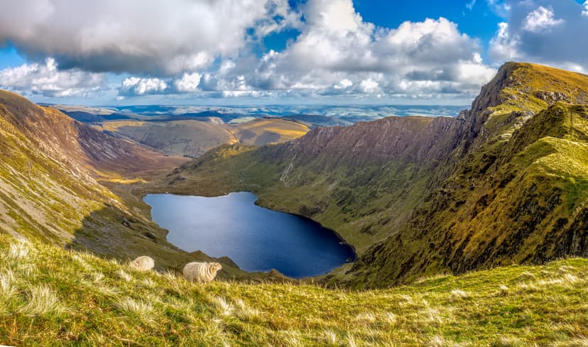
Bannau Brycheiniog is grassy where Eryri is rocky, Old Red Sandstone glaciated into long whaleback ridges. The walking splits between the high moorland in the middle of the park and the wooded gorges along its southern rim, with Pen y Fan at 886 m as the high point and the busiest single walk in south Wales.
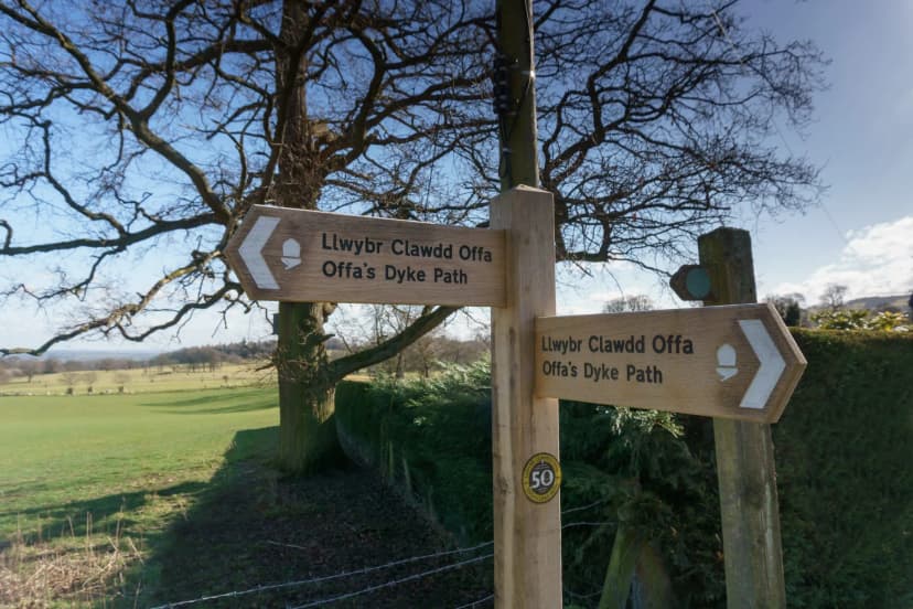
The park also carries the best miles of Offa’s Dyke Path, the 177-mile National Trail running from Chepstow to Prestatyn along the earthwork King Offa of Mercia raised in the 8th century to mark the boundary between his kingdom and the Welsh. It is rural, agricultural walking at lower elevations than the coast, and one of the few long trails in Britain that crosses back and forth over a national border. Together with the Wales Coast Path it closes a 1,047-mile ring around the whole country.
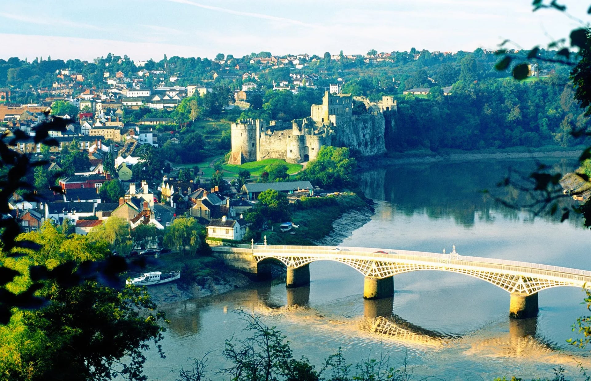
For the border walk that threads castles, cornfields, and abbey ruins:
Top Hikes in Pembrokeshire Coast
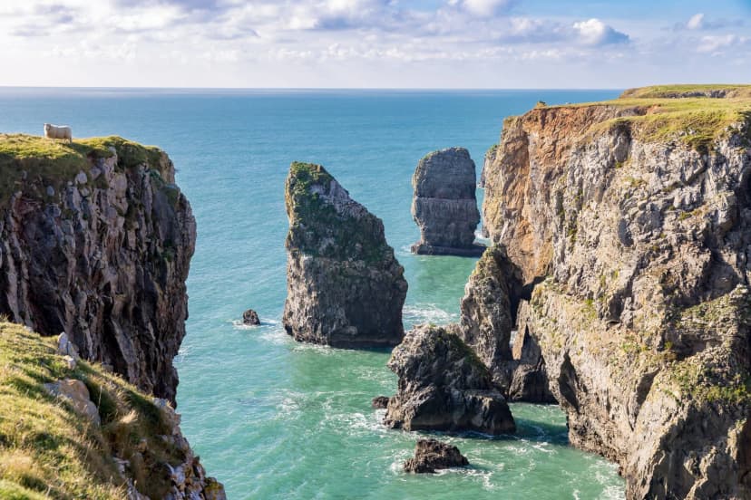
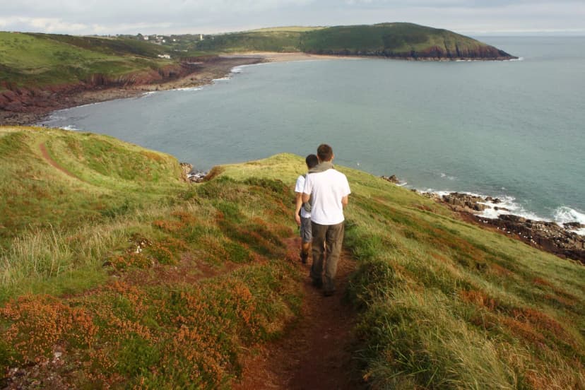
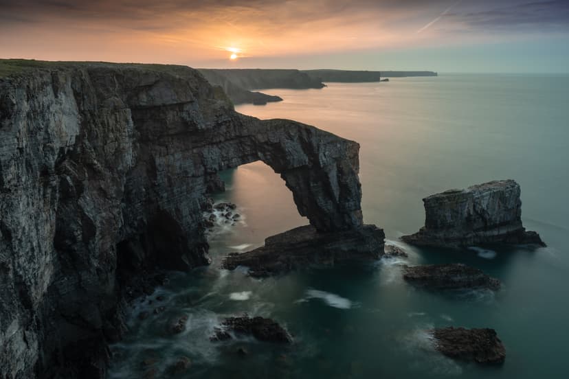
The only national park in Britain that is almost entirely coast, and the walking here is one great trail and its best days. The Pembrokeshire Coast Path runs 186 miles past sea stacks, seal beaches and Norman castles, with St Davids, Britain’s smallest city, and Tenby as the two main bases.
That path is also the finest stretch of the 870-mile Wales Coast Path, the route from Chepstow to the Dee estuary that opened in 2012 and made Wales the first country in the world with a continuous path around its entire coast. It is best walked in sections: Pembrokeshire is the most spectacular, and the Llŷn Peninsula in the north-west is the quietest.
Inland, the Preseli Hills carry roughly a tenth of the coast’s traffic. And for the country’s rough interior rather than its edges, the Cambrian Way runs 298 miles from Cardiff to Conwy across the mountain spine, committing, lightly waymarked and rarely walked in full.
For that coast walked south to north, with the nights booked and the bags moved between them:
What Makes Hiking in Wales Different
A few things that shape a Welsh walking trip more than the scenery does.
Weather
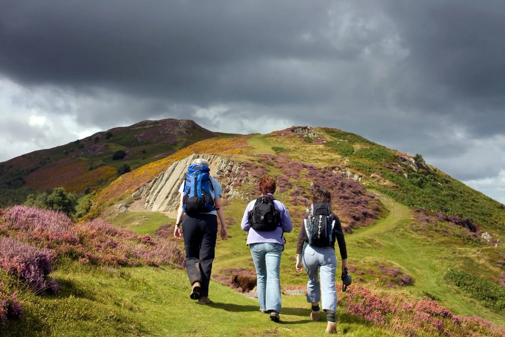
Wales is the wettest country in the UK, and no month is reliably dry. Even July and August average around 10-12 rain days in the mountains, and the summit of Yr Wyddfa is one of the cloudiest places in Britain — statistically in cloud on roughly two out of three days year-round. What this means practically: carry full waterproofs on every walk, budget for one properly wet day in every week, and don't cancel a hike because the forecast says "showers" (that's the default, not the exception).
The upside is that Welsh walking weather is more forgiving than it looks. Temperatures are moderate, storms are usually short, and rain is rarely dangerous — it just requires the right layers.
As everywhere else in the UK, the Met Office forecast is the one to trust.
Language
English is universal in Wales — you don't need Welsh to hike here. But Cymraeg is a living language in the north-west (Gwynedd, Anglesey) and in Ceredigion on the west coast, where you'll hear it in shops, on buses, and between locals in the pubs at the end of the day.
Before you read a map - the national parks now lead with their Welsh names (like Eryri for Snowdonia, Yr Wyddfa for Snowdon), following a 2022 decision, and Bannau Brycheiniog for the Brecon Beacons since April 2023. Both authorities call this a branding change rather than a legal rename, so you will meet both forms in print.
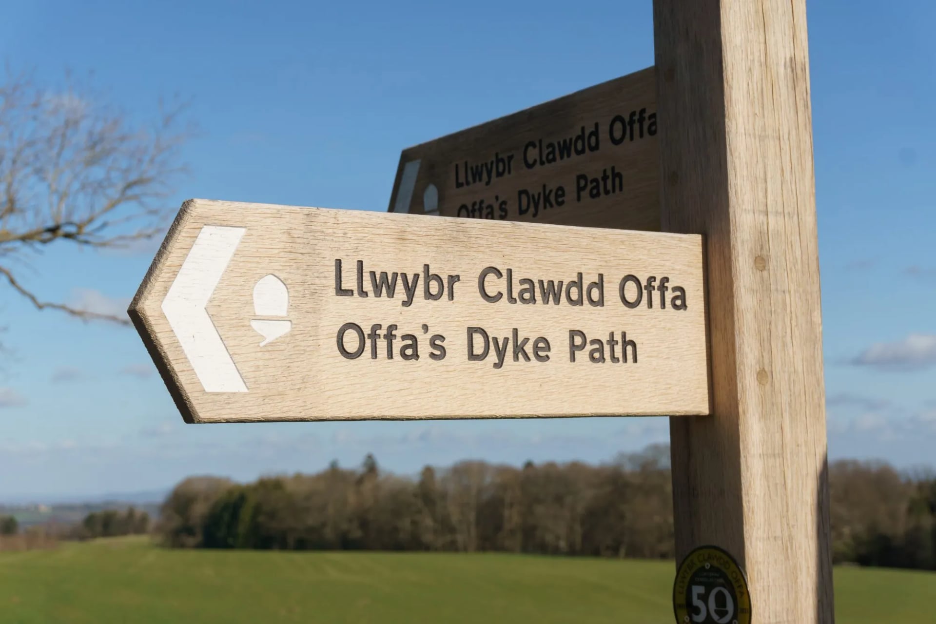
Signs put up by the park authorities are bilingual, with the Welsh positioned to be read first. That is a statutory duty rather than a courtesy. Place names on the ground in Eryri are increasingly Welsh only, and the authority advises walkers to be confident with a map and compass rather than relying on signage.
Learning to pronounce a handful of core words — Yr Wyddfa (ur WITH-va), Eryri (er-UH-ree), Cymru (KUM-ree), croeso (KROY-so, "welcome") — is both practical and appreciated.
Trail marking
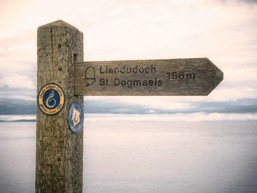
Wales's three National Trails — Offa's Dyke Path, the Pembrokeshire Coast Path and the Wales Coast Path — carry the standard white acorn National Trail waymarker on stiles, gates and signposts. Signs are bilingual with Welsh placed first, a statutory duty rather than a courtesy, and in Eryri many higher-ground signposts are now Welsh only. Confidence with a map and compass matters more here than on comparable Alpine routes.
Good To Know
Parking
Parking at the main Yr Wyddfa trailhead now has to be booked in advance. Pen y Pass runs on a pre-booking system through JustPark, and the Eryri authority says it stays that way until the end of the season. Bookings cannot be extended, and a standard bay takes vehicles up to five metres long.
The authority's own framing is blunt. Between March and November, planning how you reach Pen y Pass is not optional. Blue badge bays are first come, first served and cannot be reserved in advance.
Right to roam
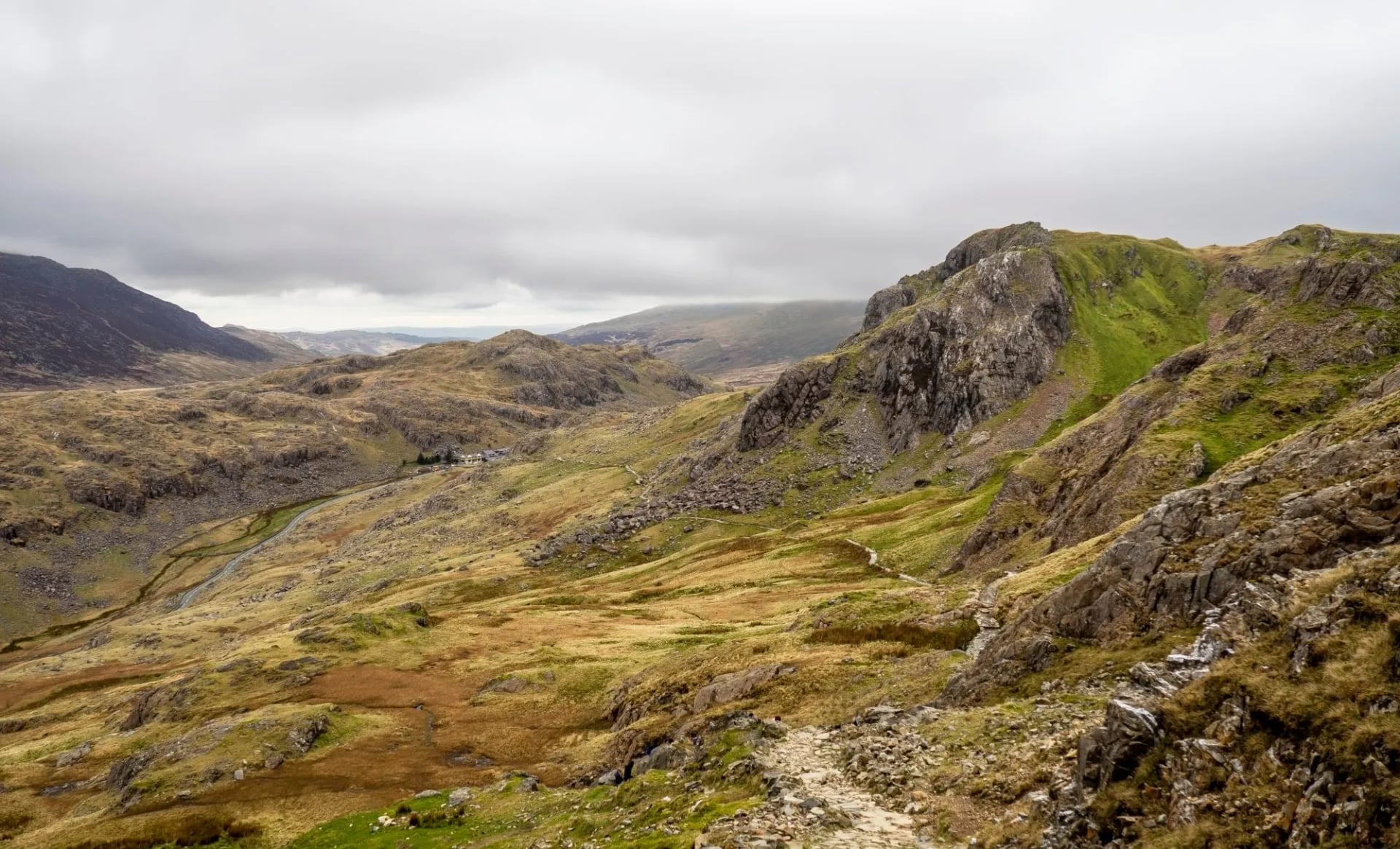
Wales has no Scottish-style right to roam. It runs on the same framework as England, the Countryside and Rights of Way Act, which came into force here in 2005. That opens 451,000 hectares, about 22% of Wales, plus over 20,000 miles of public rights of way.
On mapped open access land you may leave the path and wander. Buildings, gardens, quarries and arable land are cut out even inside a mapped area, and access can be suspended for livestock work or public safety. Scotland's 2003 access law is genuinely wider, so the comparison does not transfer.

Wild camping
Wild camping is not legal anywhere in Wales without the landowner's permission. Eryri states it plainly, and so does Bannau Brycheiniog. The open access right covers recreation on foot and does not extend to pitching a tent.
Wales has a small but useful network of bothies maintained by the Mountain Bothies Association — free shelter on remote hillsides, first-come first-served, spartan but dry.
Hiking with a dog
On mapped open access land, dogs must be kept on a lead from 1 March to 31 July under the Countryside and Rights of Way Act — a legal requirement, not guidance. Eryri specifies a two-metre lead. Sheep roam freely across most upland ground, and cattle graze the lower fields; if cattle pursue you, let go of the lead and look after yourself first. Beaches in Pembrokeshire add their own summer restrictions from 1 May to 30 September under local byelaws.
How Hard is Walking in Wales?
The mountains are low by continental standards — nothing tops 1,100 m — but Welsh weather makes them serious. A settled July day on Yr Wyddfa can feel almost gentle; the same route in horizontal rain and 60 km/h wind is a mountain skills day.
Difficulty spread runs like this:
1/5 to 2/5: The Wales Coast Path in Pembrokeshire, Gower cliffs, canal walks. Family-friendly, low-elevation, well-waymarked.
3/5: Standard mountain walks — Cadair Idris, Pen y Fan, the Rhinogs, most Yr Wyddfa routes. Real ascent, real weather exposure, no scrambling.
4/5: Long-distance trail sections with 20+ km days (Offa's Dyke, Cambrian Way in mid-Wales), or the Snowdon Horseshoe aside from Crib Goch.
5/5: Crib Goch itself, and full winter routes above 800 m. Technical scrambling terrain and skills required.
Genuine hiking fitness plus decent waterproofs will handle 90 percent of the walking on offer. The rest is weather management.

When to Hike
Welsh walking season is longer than most people expect — the mountains rarely close, but conditions shift dramatically month to month.
May–June: The best window. Long days (sunset after 21:00), lambing season across the hills, wildflowers in the coastal reserves, and midge numbers still low. Refuges and cafés fully open.
July–August: Peak crowds on Yr Wyddfa and Pen y Fan. Warmer temperatures (rarely above 22 °C in the mountains) but the busiest period on the trails. Book Eryri accommodation months ahead.
September–October: Quieter, cooler, and the light turns amber on the moorland. Watch for the first autumn storms from mid-October — Welsh gales can be genuinely strong.
November–April: Snow possible on high summits, especially in Eryri and the Beacons; coastal paths stay walkable year-round. Winter conditions in the mountains need axe and crampons above 700 m.
Two dates worth planning around whichever month you choose:
UK Bank Holiday weekends — Easter, early and late May, and the last Monday of August — squeeze rural accommodation across all three parks.
Ironman Wales in mid-September brings roughly 2,000 athletes and 8,000 visitors to Tenby, effectively closing Pembrokeshire's south-coast beds for that weekend. Locals book Tenby a year in advance.
Getting There and Base Towns
Wales is exceptionally well-connected for its size — no destination in the country is more than three hours from a major airport.
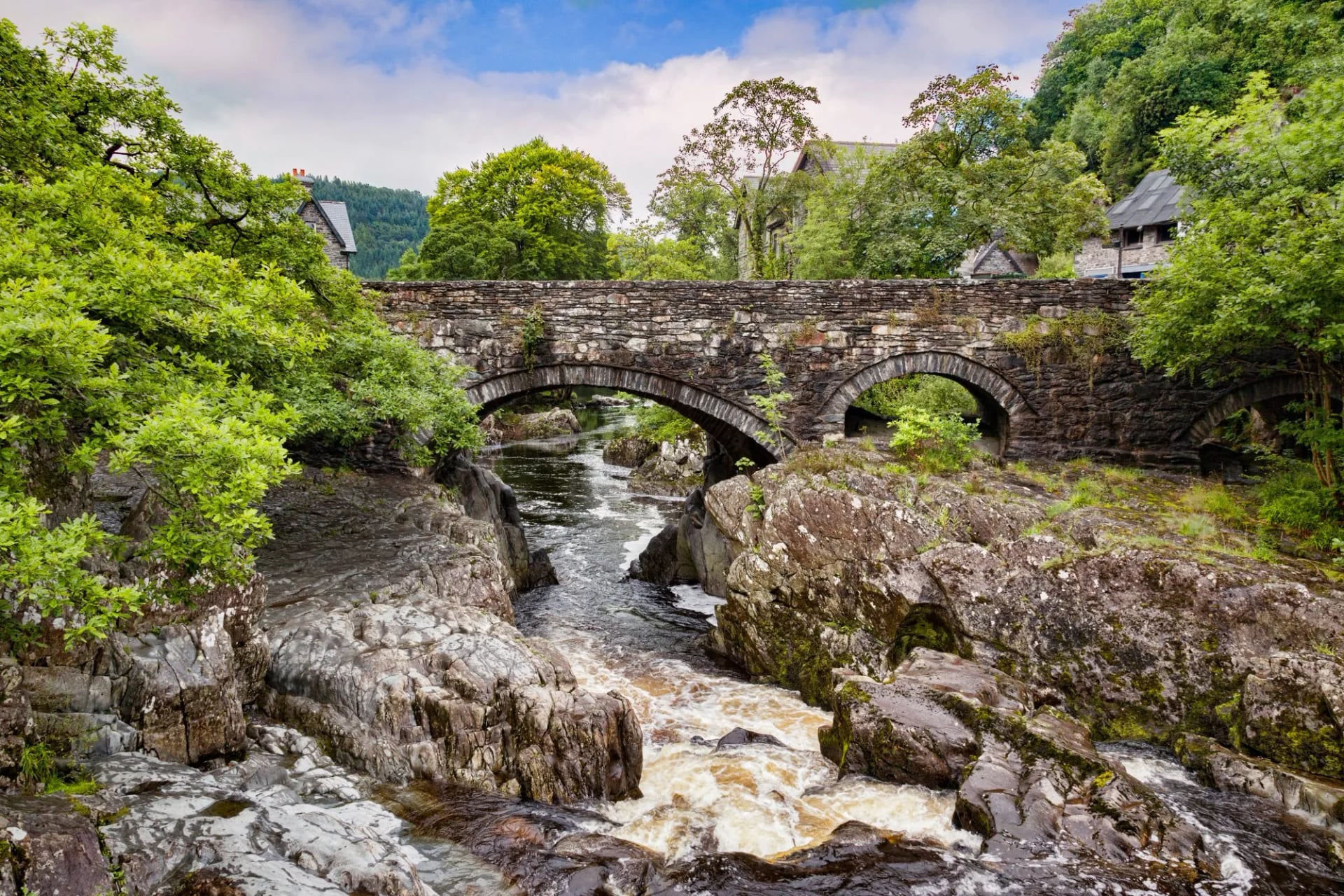
For Eryri (Snowdonia): Manchester Airport (MAN) or Liverpool (LPL) are both two hours by rail or car. Base in Betws-y-Coed for atmospheric mountain village comfort, or Llanberis for direct trail access.
For Bannau Brycheiniog: Cardiff (CWL) or Bristol (BRS) are the closest, both under 90 minutes by road. Brecon and Crickhowell are the traditional base towns.
For Pembrokeshire: Fly into Cardiff and take the four-hour train west, or fly into Bristol and drive. Tenby (family-friendly) and St Davids (quieter, closer to the best coastal cliffs) are the main bases.
For Offa's Dyke: Hay-on-Wye (the book town) sits directly on the trail and makes an ideal midpoint stop.
Trains reach Eryri and Pembrokeshire directly, and Offa's Dyke at several points along its length. Bannau Brycheiniog is the exception: neither Brecon nor Crickhowell has a station, so travel by rail to Abergavenny or Llandovery and take the bus in from there.
Planning Made Simple
The country is small enough that you can move regions in a day, the trails are well-marked, and the pubs at the end of most stages sit exactly where you want them to. What takes planning is the accommodation in Eryri during high summer, the point-to-point logistics if you're walking a linear trail like Offa's Dyke or the Pembrokeshire coast, and building in a buffer for wet days.
If you'd rather not handle those pieces yourself, our self-guided walking trips across Wales come with the whole planning stack sorted. On ours, we:
book every night's accommodation across the stages,
arrange baggage transfers between hotels so you walk with a day pack only,
provide a detailed digital guidebook with maps, GPS files, and route notes, and
offer support in English (and Cymraeg when relevant) throughout the trip.
Keep planning with our full range of Wales hiking tours, and see our other UK hiking tours for how Wales compares to walking trips in Scotland and England next door.
Frequently Asked Questions

About this author
Ajda is our travel advisor, raised in a village surrounded by mountain peaks. Hiking entered her life early on and remains her favorite way to reconnect with nature.















.jpg&w=828&q=75)













































.jpg&w=828&q=75)























