Hiking in Slovakia: 10 Best Hikes Across 4 Ranges
Hiking in Slovakia is not only the Tatras. Ten hikes across four ranges, with walking time, ascent and trailhead, and the 15 June date the high trails reopen.

Suzana
Published August 6, 2026
Edited September 21, 2026
22 min read
Quick links
Don't want to read all this?
We've planned 2,000+ hiking trips. Send your dates, fitness and group size — we'll map the route and book every night.



Slovakia is often treated as one mountain range with a country attached. The High Tatras take almost all the attention, and most guides to hiking in Slovakia are really guides to the Tatras.
That leaves a lot out. Four separate ranges carry marked trails here, and they ask genuinely different things of you: an alpine one, a gorge system climbed on ladders, a ridge of rock towers, and a long grassy traverse.
This guide covers all four ranges and the ten hikes worth planning a trip around, and it leads with the three rules that decide whether your trip works at all: a trail closure that runs to mid-June, mountain rescue you pay for, and bears.
What Makes Hiking in Slovakia Different
Three things shape a Slovakia hiking trip more than the scenery does. None of them are obvious from photographs, and all three change how you plan. Take them in the order they will affect your booking.
The high trails close for more than half the year. In the Tatra National Park, 37 marked trail sections shut from 1 November to 15 June. This is not a weather advisory. It is a legal closure covering the chamois rut, the avalanche season and the spring nesting period, and it is enforced.
Mountain rescue is chargeable. Under a 2006 law, the person rescued is obliged to reimburse the mountain rescue service. It is excluded from public health insurance, so a UK GHIC or a European EHIC does not cover it. Separate mountain cover is inexpensive and worth having.
The forests hold bears. Estimates put Slovakia at roughly 1,300 brown bears, part of the wider Carpathian population. Encounters on marked trails are uncommon and attacks are rarer still, but the animals are genuinely there and worth respecting.
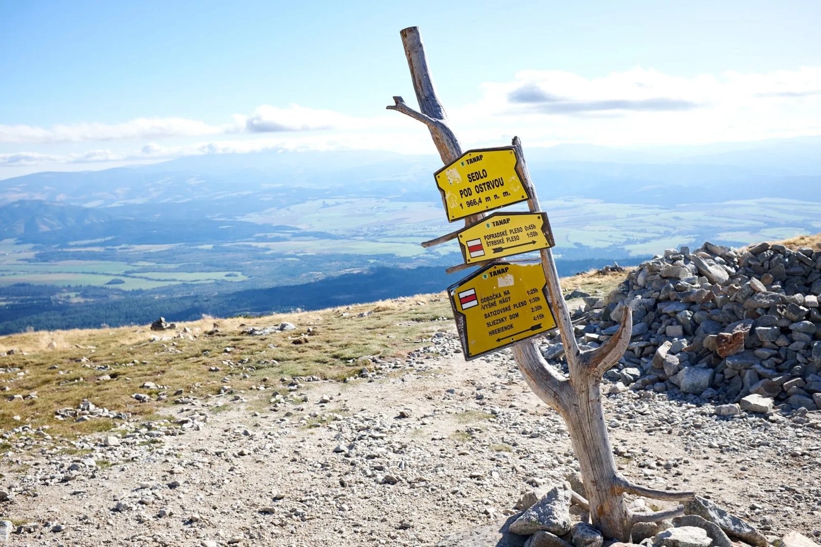
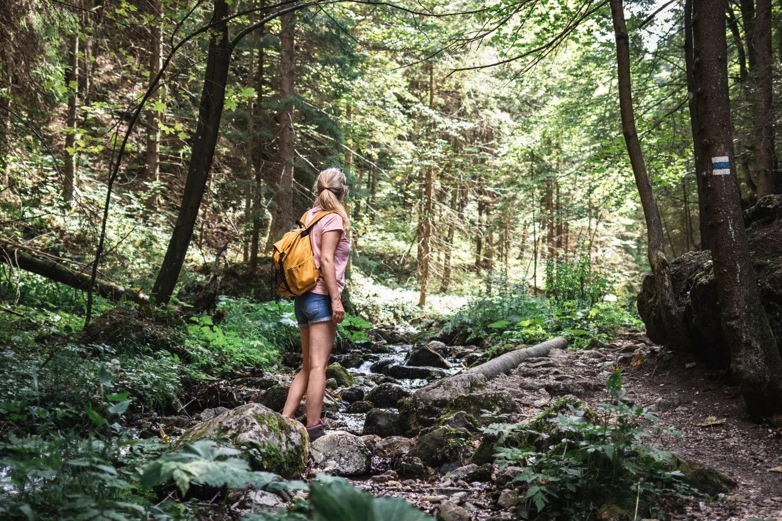
The upside is a dense network of marked trails and mountain huts maintained by the Slovak hiking club, colour-coded and signposted with walking times rather than distances. Once you stop converting hours into kilometres the signs become easier to plan from than a map. The same club maintains the huts, which is why the network feels consistent from range to range.
Which Hiking Region to Choose
The ranges are close together. You can drive between any two in a morning, which makes a combined trip realistic in a way it would not be in the Alps.
High Tatras
The High Tatras are the smallest alpine range in the world by area, and the only genuinely alpine ground in the country: bare granite, glacial lakes, and huts placed a day apart. Peaks run to about 2,655 metres at Gerlachovský štít, and the national park around them covers 738 square kilometres. It was declared in 1949, which makes it the oldest national park in Slovakia.
This is where the seasonal closure bites hardest, and where the rules are strictest. The high trails and the highest huts are shut from 1 November to 15 June, so the walking season is barely four and a half months. Going off the marked trails requires a licensed guide, who may lead no more than five people and must log the trip with the park authority beforehand.
Our Slovakia trips all sit in this range or the one next to it, and the sections below cover the individual peaks, lakes and huts including the Polish side. Gerlachovský štít itself is guide-only, so it appears on none of them. The summits we do walk are the ones reachable on marked trails.
Slovenský Raj, the Slovak Paradise
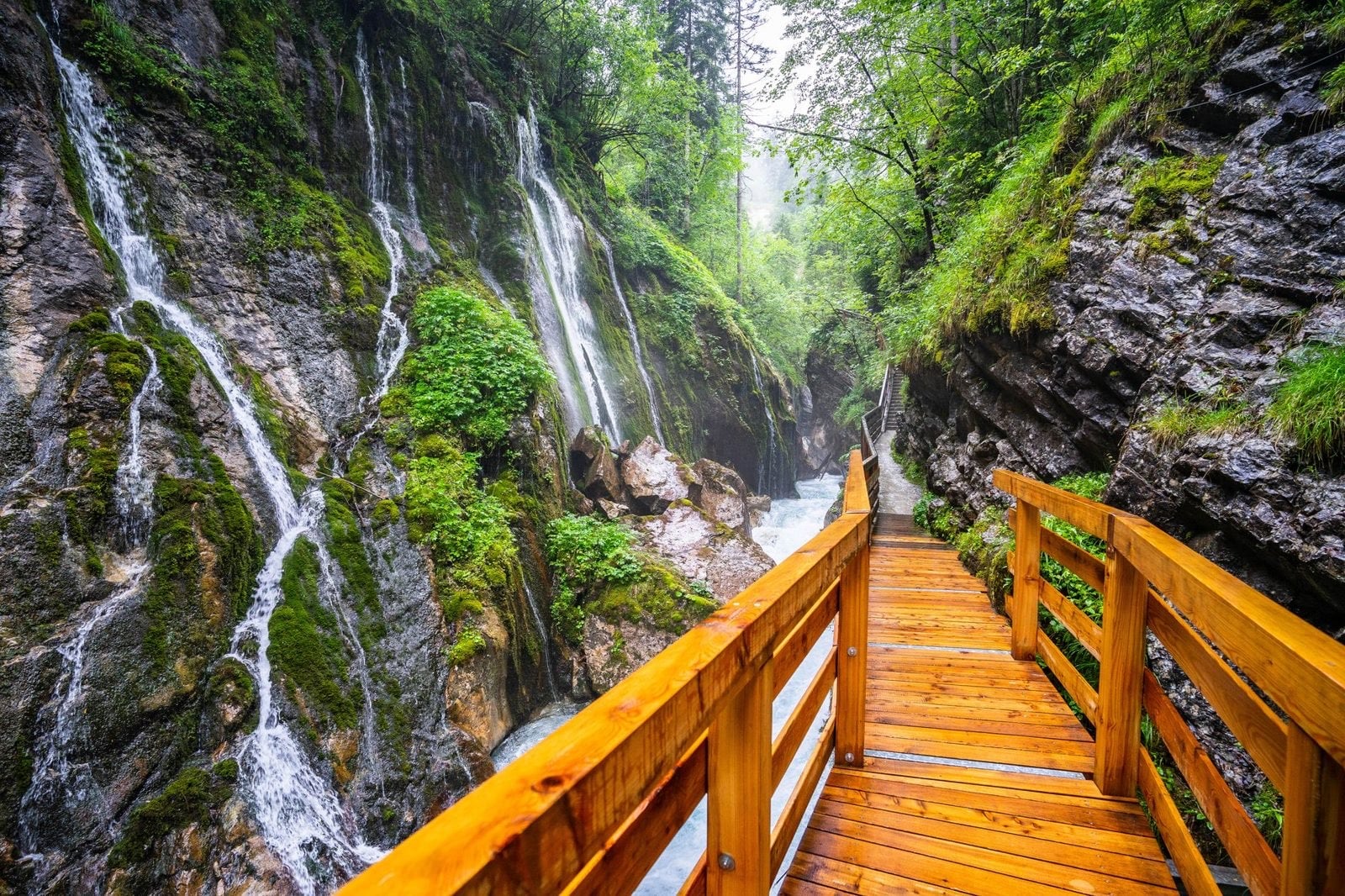
Slovenský Raj is the most distinctive hiking in the country, and the least like anywhere else. Instead of ascending a mountain you climb up through a gorge on fixed ladders and chains, often beside a waterfall. The gain is small by Tatras standards, and the effort is in the hands and the head rather than the legs.
The best-known routes are one-directional. You go up, not down, because the ladders only work in one direction and the traffic is managed accordingly. Suchá Belá is the famous one.
It is not technical climbing and needs no equipment beyond decent footwear. It does need a head for exposure and hands free, so a daypack rather than a rucksack. The park is the smallest of the four at roughly 200 square kilometres, and the gorges sit low enough that they walk well from May through October.
Malá Fatra
Malá Fatra is the range to choose for ridge walking with rock towers, and it is quieter than the Tatras in every month. The signature summit is Veľký Rozsutec, a pointed limestone peak of 1,610 metres reached on a chain-assisted route through a gorge. It is the shape people picture when they picture Slovak mountains, and it is not in the Tatras at all.
The walking sits between the two extremes above: harder than the Low Tatras, less severe than the High Tatras, with the odd chain-assisted section, though not on the main ridge traverse. The park covers 226 square kilometres, and its highest point is Veľký Kriváň at 1,709 metres. Because nothing here reaches 2,000 metres, the season opens earlier and closes later than in the Tatras.
Our Hut to Hut Mala Fatra trip crosses the range hut to hut, sleeping at Chata pod Suchým and Chata pod Chlebom, and its easiest day climbs only about 60 metres against roughly 1,040 on its hardest. That spread inside one week is the widest of any Slovak trip here. Bags move between valley stops where the road allows, but the two hut nights are the fixed points of the week.
Low Tatras
The Low Tatras carry the country's longest continuous ridge walk, a grassy high-level traverse with wide views and far fewer people. The ground is rounded rather than rocky, and the ridge holds its height for days. At 728 square kilometres it is the largest national park in Slovakia, larger than the High Tatras despite being far less visited, and Ďumbier tops it at 2,043 metres.
Huts are further apart here than in the High Tatras, so days are longer and water needs planning. It suits walkers who want distance and solitude more than summits. Nothing here needs a chain or a guide, which means the range is a better first Slovak trip than its name suggests.
The Hikes Worth Planning a Trip Around
These are the ten hikes people travel to Slovakia for. Six of them fall on our itineraries and four are ground you would walk independently, arranging your own transport to the trailhead. Every entry carries the same four figures so you can compare them directly.
Slovakia's hiking trails are signed in walking hours rather than kilometres, so the times below follow the signposts rather than a map measurement.
Kriváň, High Tatras
Range: High Tatras
Walking time (one way): 3 hours
Ascent: ~1,400 m
Trailhead: Tri studničky
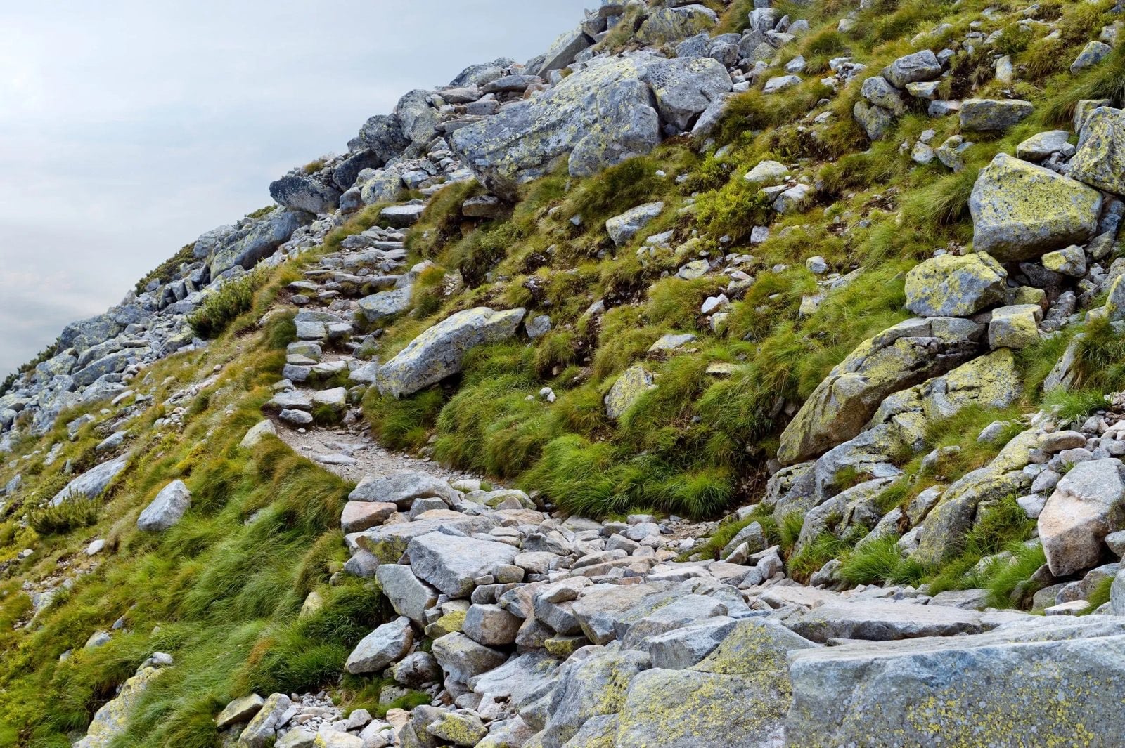
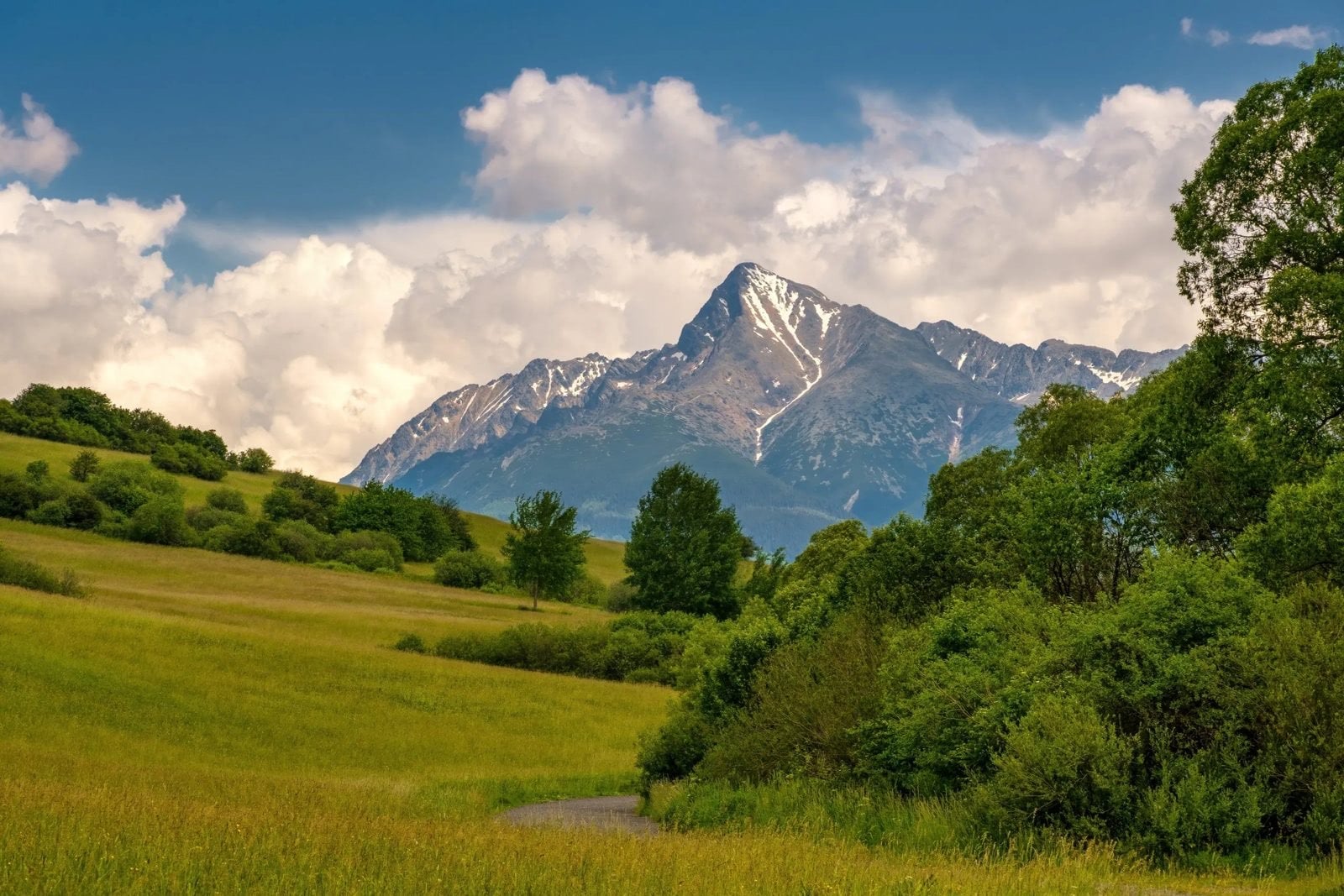
Kriváň is Slovakia's national mountain, and the claim is literal rather than poetic. A nationwide vote in 2005 put it on the country's euro coins, and it has carried Slovak national symbolism for two centuries, to the point where a 19th-century writer called Slovaks "Kriváň's children". It stands 2,494 metres, so it is high without being one of the range's giants. Three marked routes, blue, green and red, converge for the final 350 metres of steep rocky ground, the only stretch where you may want both hands free. Every August a mass national ascent draws hundreds of walkers up it. From Tri studničky and back it is a six-hour day.
Day 4 of High Tatras Escape ascends it, which makes that the trip to take if this is the summit you want. It is the hardest day of that week. The route is marked throughout, so no guide is needed.
Zelené Pleso, High Tatras
Range: High Tatras
Walking time (one way): 2½ hours
Ascent: ~600 m
Trailhead: Biela voda
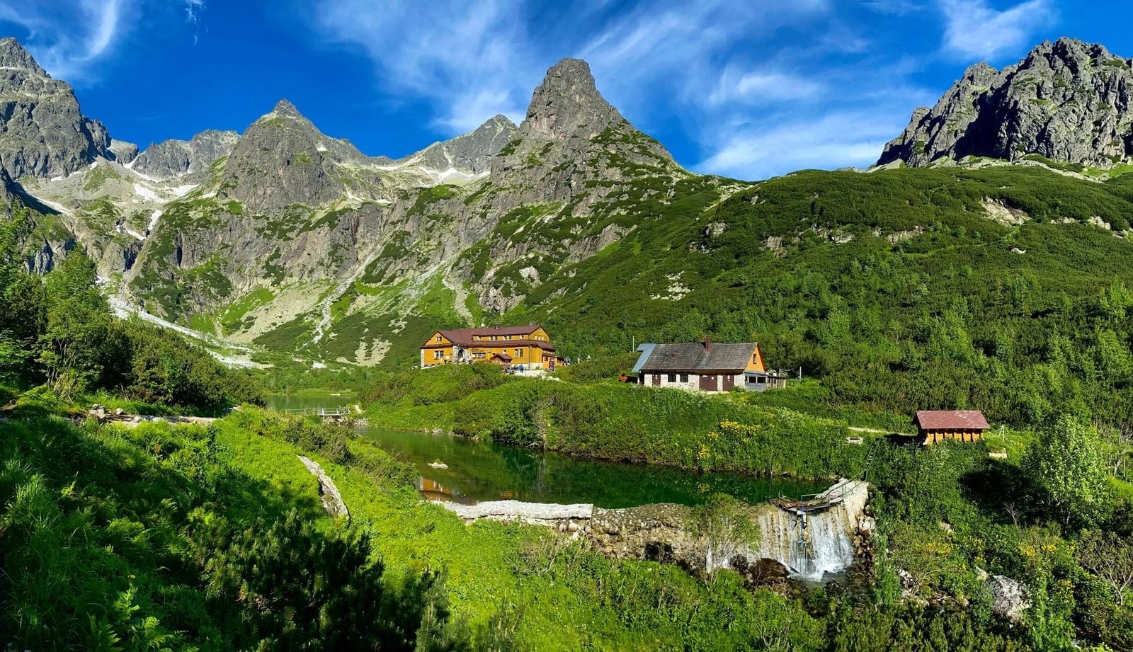
The green lake sits in a rock cirque with a staffed hut on its shore, and it is the single most-visited point on our itineraries. The water really is that colour. The hut on the shore, Chata pri Zelenom plese, stays open all year, unlike the higher ones.
It appears on three of our six trips: Day 2 of Best of Tatras, Day 6 of the Comfort holiday, and Days 3 and 4 of the Family Adventure. That makes it the easiest of the famous Tatras destinations to actually book. It is also low enough to be reachable outside the high-trail season.
Lomnický Peak, High Tatras
Range: High Tatras
Walking time (one way): none, the cable car does the climbing
Ascent: nothing on foot, 2,634 m at the top
Trailhead: Tatranská Lomnica
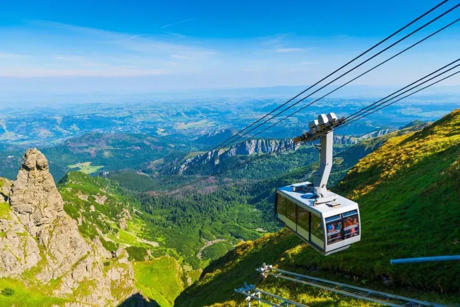
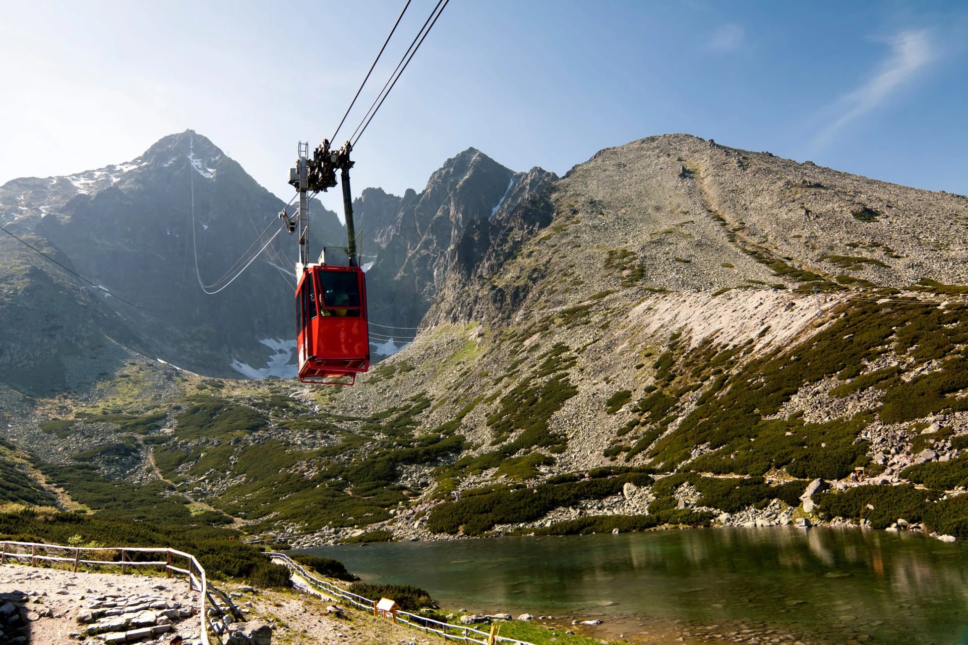
Lomnický is the summit you reach without walking up it, by cable car from Skalnaté Pleso. That makes it the one high viewpoint available to anyone regardless of fitness, and the reason it appears as a rest day rather than a hiking day. At 2,634 metres it is the second highest summit in the country.
On the Comfort Tatra Mountains holiday it is Day 5, a leisure day, following Day 4's hike up to Skalnaté Pleso. You walk to the cable car and ride the last section. The observation deck is the only place in the High Tatras where a non-walker sees the same view you do.
Štrbské Pleso and Ostrva
Range: High Tatras
Walking time (one way): 2 hours to the saddle
Ascent: ~600 m
Trailhead: Štrbské Pleso
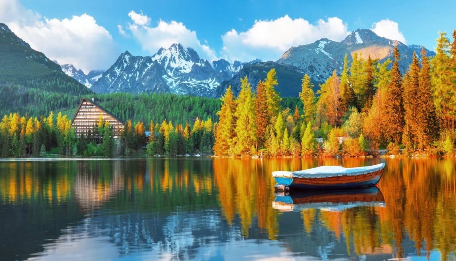
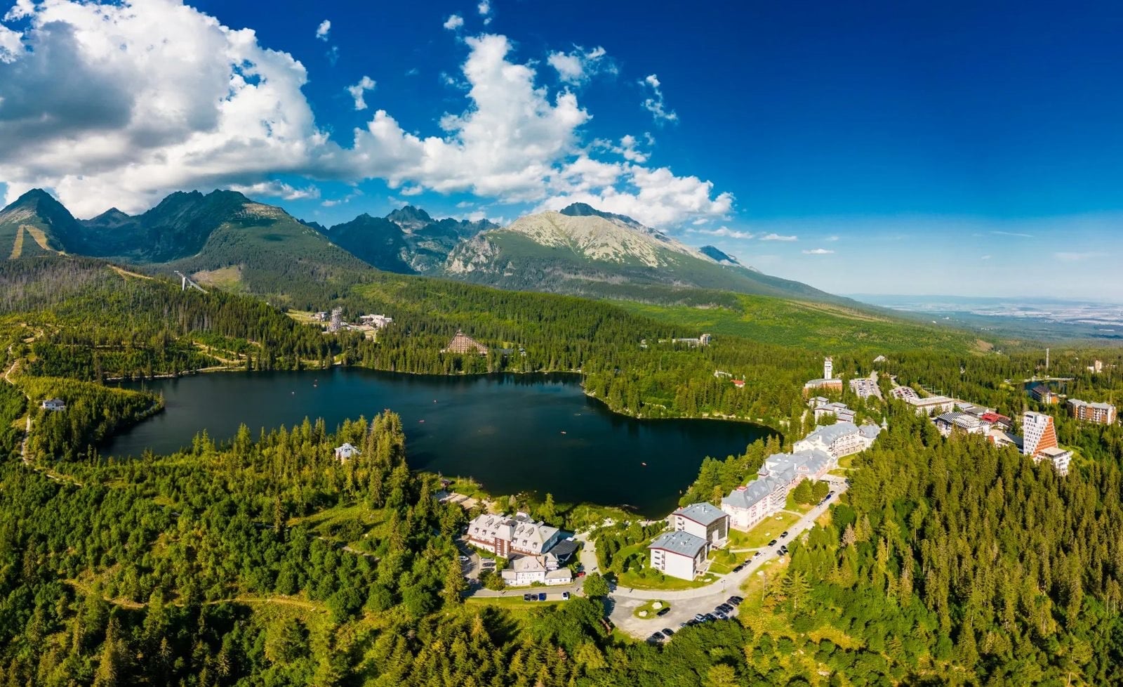
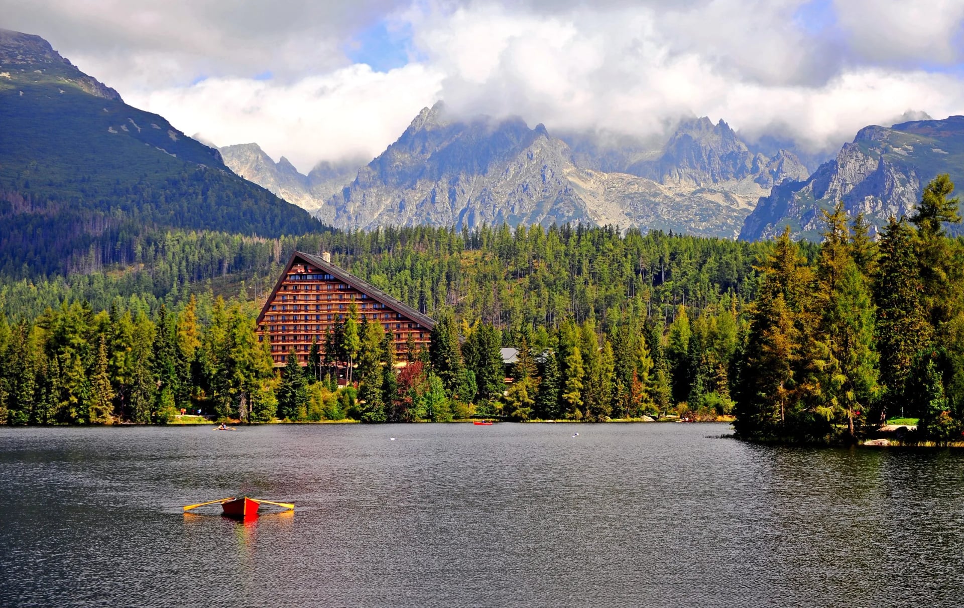
Štrbské Pleso is a lake, a resort and a railway station at once, which makes it the most useful base in the High Tatras. The electric tram stops here, so you can arrive without a car and walk from the platform. The lake sits at 1,346 metres and freezes for close to half the year.
It is where Best of Tatras finishes on Day 5, and where High Tatras Escape both starts and ends. It is also the trailhead for the Rysy route described below. Two of our six trips use it as a base, which is more than anywhere else in the country.
Above it, Day 2 of High Tatras Escape climbs to Popradské Pleso and Ostrva, a shoulder with a long view back down over the lakes. This is where you meet the yellow signposts that give walking hours rather than kilometres. Popradské Pleso has a hut of its own, so the day can be broken if the weather turns.
Ostrva itself is a shoulder rather than a summit, which is why it works as a second day rather than a whole one. The climb is steady, the ground is marked and waymarked throughout, and there is no exposure anywhere on it. The reward is the whole chain of lakes laid out below you, with Popradské Pleso directly underneath.
Morskie Oko, Polish Tatras
Range: Polish Tatras
Walking time (one way): 2½ hours
Ascent: ~400 m over 9 km
Trailhead: Palenica Białczańska
Morskie Oko is the largest lake in the Tatras and it lies on the Polish side, which is why it sits on a separate trip rather than inside a Slovak itinerary. Its hut is one of the oldest in the range. The lake covers about 34 hectares at 1,393 metres, which makes it the biggest in the Tatras on either side of the border.
Our Polish trip gives it two full days: Day 2 walks in from Palenica Białczańska, and Day 3 walks back out the same way. The approach is a long, gently graded former road, busy in high summer. Because it is Poland, the Slovak trail closure does not apply and the walk is open year round.
Biele Skaly, Malá Fatra
Range: Malá Fatra
Walking time (one way): 5¼ hours, Strečno to Priehyb
Ascent: 1,040 m on our stage between the two huts
Trailhead: Strečno
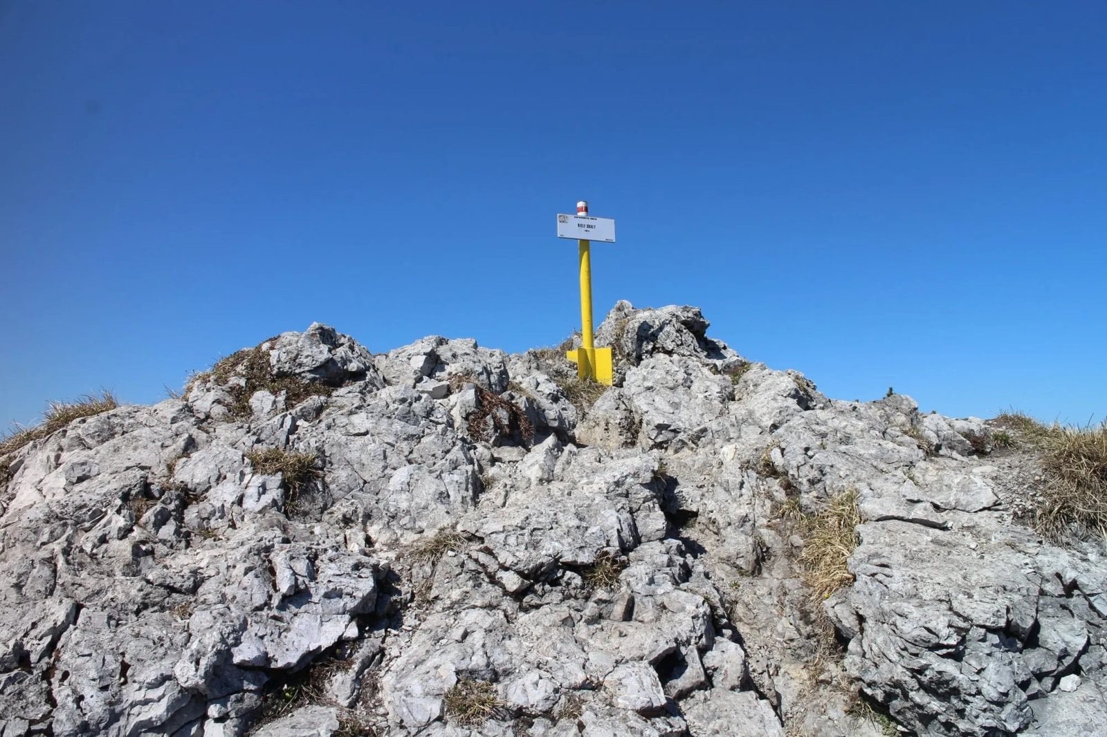
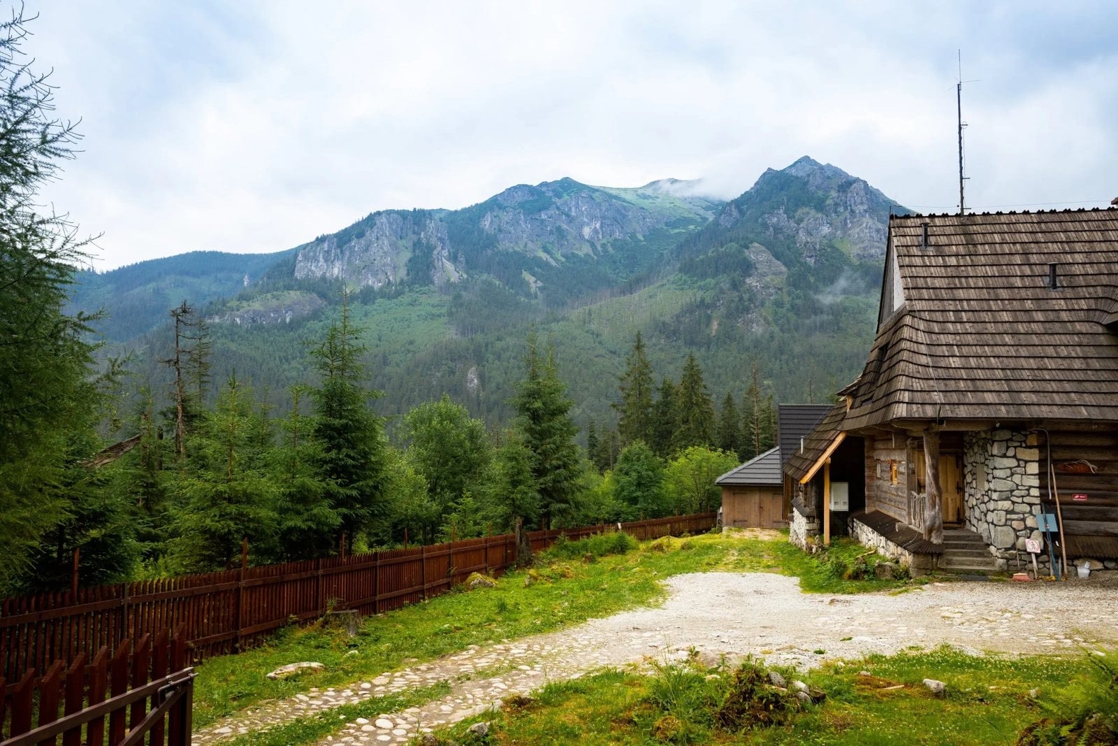
Biele Skaly, the white rocks, are the limestone section of the Malá Fatra main ridge, and they are the reason this range looks different from the granite Tatras. Limestone weathers into towers and slabs where granite gives domes and boulders. The white rock is visible from the valley, which is how the section got its name.
They fall on the fourth walking day of the Malá Fatra crossing, between Chata pod Suchým and Chata pod Chlebom, on a stage that also takes in Suchý, Stratenec and Priehyb. It is the longest day on the Krivánska half and the one with the most exposed ground, though the walking stays on its feet. The chained ground in this range is on Veľký Rozsutec, which the traverse does not take in.
Suchá Belá Gorge, Slovenský Raj
Range: Slovenský Raj
Walking time (one way): 2 hours, upstream only
Ascent: ~420 m over 3.7 km
Trailhead: Podlesok
The most distinctive walk in the country. It runs 3.7 kilometres with about 420 metres of gradient and takes roughly two hours, climbing beside the stream on wooden and iron ladders, chains, steps and footbridges that secure the exposed stretches. Passage is one-way, upstream only, so you cannot turn back partway.
Veľký Rozsutec, Malá Fatra
Range: Malá Fatra
Walking time (one way): 4 hours through the gorge
Ascent: ~1,100 m
Trailhead: Biely Potok
A pointed limestone peak of 1,610 metres, usually climbed through the Jánošík's Holes gorge, with chains fixed to the rock on the steeper sections. It is the signature summit of the range even though our crossing does not take it in.
Rysy, High Tatras
Range: High Tatras
Walking time (one way): 4 to 5 hours
Ascent: ~1,290 m
Trailhead: Štrbské Pleso
Three summits on the border, the middle one 2,501 metres. The north-west summit, at 2,500 metres, is the highest point in Poland, which is why it draws crowds from both sides. The Slovak trail and its chalet are closed from 1 November to 15 June, the same window as the rest of the high range. Walked from Štrbské Pleso it is an eight to ten hour day, which is why most people start at first light.
Ďumbier, Low Tatras
Range: Low Tatras
Walking time (one way): 3 hours
Ascent: ~960 m
Trailhead: Trangoška
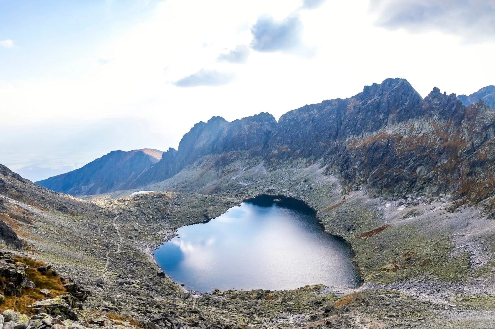
At 2,043 metres the high point of the Low Tatras, and the natural anchor for the long ridge traverse. It is the one on this list we are most often asked for and is not yet on a trip. The ridge traverse it anchors runs for days without dropping to a valley.
Our Slovakia Hiking Tours
Those days sit inside six trips, covering two of Slovakia's four ranges. They run from four days to seven. The figures below are the daily ranges published on each itinerary.
Hut to Hut Mala Fatra
Distance: ~8 to 14 km a day
Ascent: ~60 to 1,040 m a day
Sleeping: two mountain huts plus valley guesthouses
Season: June to September
This is the one trip that leaves the Tatras entirely, and it front-loads the effort: the first walking day climbs 950 m from Martin to Martinské Hole, and the gentlest day comes last, 60 metres of climbing on the descent to Kraľovany.
The route is a traverse rather than a loop. You begin in Martin, climb to Martinské Hole on the first walking day, then cross the whole range over five days to finish at Kraľovany in the Váh valley. Two ruined castles, Strečno and Starhrad, stand directly on the line of the walk, and Day 5 crosses Biele Skaly along the main ridge. Because it never doubles back, every day shows you new ground.
Best of Tatras Hut-to-Hut Hike
Distance: ~8 to 13 km a day
Ascent: ~135 to 945 m a day
Sleeping: mountain huts on the route
Note: dates are constrained by the 15 June reopening
The classic High Tatras crossing, and the only week that sleeps in the huts every night rather than descending to a valley.
Four walking days carry you west across the range, and you sleep in a different hut each night: Zelené Pleso, then Zamkovský, then Sliezsky. It starts from Poprad, which has the railway station, and finishes at Štrbské Pleso, so the week is a single one-way line with no repeated ground. This is the trip most constrained by the June reopening, because the linking sections are high.
High Tatras Escape
Distance: ~11 to 23 km a day
Ascent: ~310 to 1,200 m a day, the most of any trip here
Base: starts and finishes at Štrbské Pleso
Grade: 3 out of 5 for fitness and 4 out of 5 for technical, the highest technical grade of the six
The most technical week of the six, with the longest days and the biggest single ascent. Comfort Tatra Mountains carries the higher fitness grade, because it walks more days back to back.
It is also the only one built as three walking days from a single base, all from Štrbské Pleso, and they are arranged to build. Day 2 climbs to Popradské Pleso and the Ostrva shoulder, Day 3 is a loop round the lakes, and Day 4 is the Kriváň ascent itself. Sleeping in the same place all week means you can drop or shorten a day without unpicking any onward bookings.
Comfort Tatra Mountains Hiking Holiday
Distance: ~8 to 23 km a day
Ascent: ~550 to 810 m a day, the most consistent day to day
Sleeping: hotels, not huts
Suits: walkers who want the Tatras without dormitories
Same mountains, hotels instead of dormitories, and the most even day-to-day ascent of any week here.
The week runs from Starý Smokovec and uses the funicular up to Hrebienok to start the walking high. Nights are in mountain hotels rather than dormitories, Sliezsky Dom among them, and Day 5 is a deliberate rest day riding the cable car to Lomnický Peak instead of walking. It finishes with the walk in to Zelené Pleso, so you still see the range's best-known lake.
High Tatras Family Adventure
Distance: ~6 to 8 km a day, the shortest on this list
Ascent: 530 m then 410 m on the two hiking days, and a 625 m descent to finish
Suits: families and first-time mountain walkers
Season: July and August
Built around the shortest days of any trip here, at roughly 6 to 8 kilometres.
It starts in Tatranská Kotlina, at the quiet eastern end of the range rather than in the resort towns. Three walking days link the Plesnivec hut to Zelené Pleso and then out down the Biela Voda valley, with the two hut nights spaced so no single day runs long. Children walk the same marked paths as everyone else here; the difference is the distance, not the terrain.
The Highlights of Polish Tatras
Distance: ~8 to 13 km a day
Ascent: ~30 to 955 m a day, the lowest minimum of the six
Country: Poland, in the same range
Sleeping: mountain accommodation on the route
A cross-border week on the Polish side of the same range, where the summits are busier and the valleys broader.
Four days based on Zakopane, with two walking days in and back out to Morskie Oko from Palenica Białczańska. It is the shortest trip on this list and the only one entirely on the Polish side. The approach to the lake is a long, gently graded former road, which is why the ascent figures are the lowest here despite the scenery being every bit as big.
When to Hike in Slovakia
The season is decided by the closure, not the weather. Because 37 trail sections in the Tatras are shut until 15 June, a high alpine trip before mid-June is not possible on the marked network.
Mid-June to early July: trails reopen, meadows at their best, snow lingering in the highest gullies
July and August: the reliable months and the busiest, with afternoon thunderstorms as the pattern; start early
September: the best hiking month here, with stable air, clear views and thinner crowds
October: beautiful and cold, with huts closing and the closure returning on 1 November
Slovenský Raj and Malá Fatra sit lower, so their seasons run longer at both ends. That is one practical reason to build a trip around more than one range.
It also matters if you want walking holidays in Slovakia rather than mountain hiking. The lower ranges give you a season from May to October and days that do not depend on a hut booking.
Mountain Huts and Where You Sleep
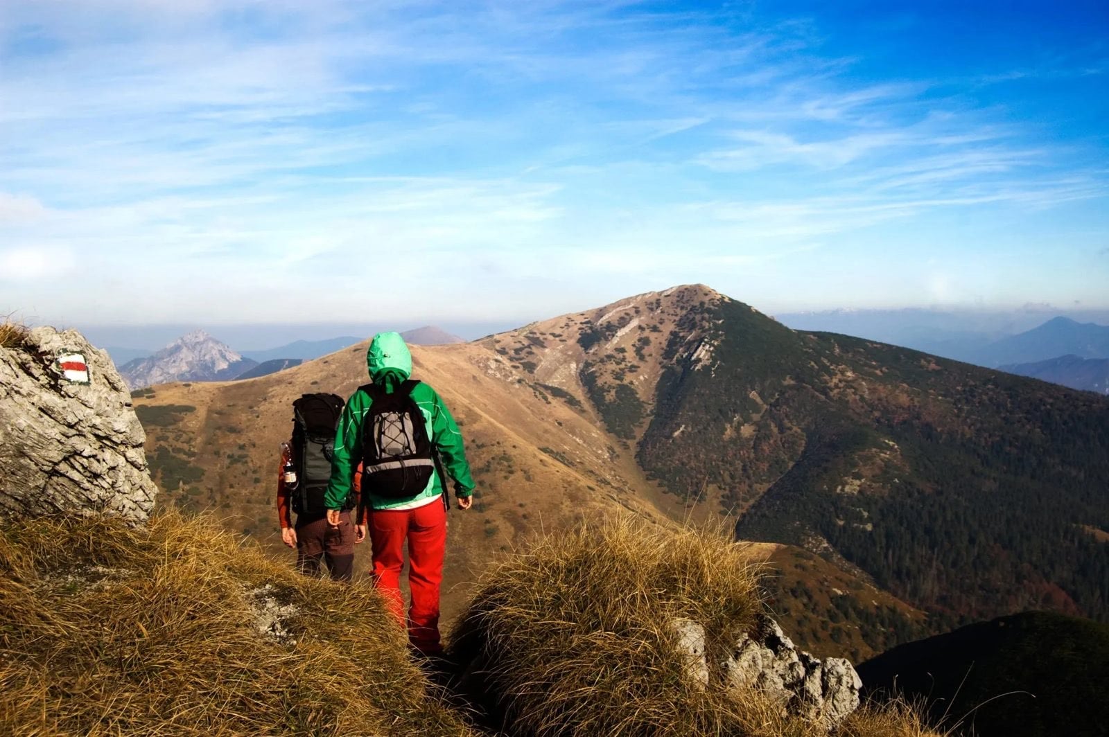
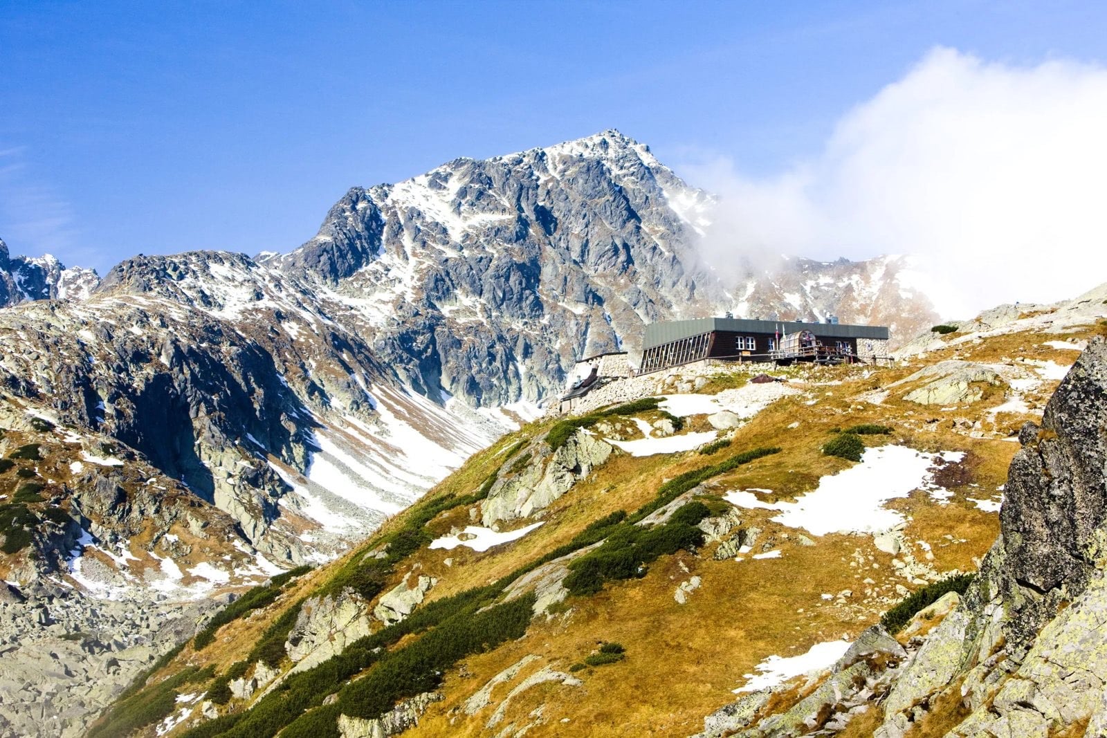
Slovak mountain huts, the chaty, are staffed, serve hot food, and sit close enough together in the High Tatras to string into a hut-to-hut route. They are simpler than Alpine refuges, with smaller dormitories and shorter menus, but half board at the high ones is priced in the same band, so come for the simplicity rather than the savings. The highest of them, Chata pod Rysmi at 2,250 metres, is the highest building in the country, and like the trail below it, it closes from 1 November to 15 June.
Book them early. There are few of them and the High Tatras season is short, so the highest huts are spoken for months ahead. Each one takes its own reservations rather than sharing a booking portal, so a hut-to-hut line is assembled night by night.
Away from the Tatras the pattern changes. In the Low Tatras you are more often in valley pensions, walking inn to inn with your luggage moved on. Malá Fatra is the exception: our traverse there sleeps at two mountain huts, Chata pod Suchým and Chata pod Chlebom, and both have to be confirmed before the rest of the week can be fixed.
Safety, Rescue and Bears
Slovakia asks you to take rescue seriously in a way that a UK or Alpine hiker may not expect. Because the cost falls on the person rescued and public health cover excludes it, mountain insurance is the one purchase not to skip. Slovak law has made rescue chargeable to the person rescued since 2006, and it applies to residents and visitors alike.
The practical routine is straightforward. Log your route before you set out, stick to the marked trails unless you have a guide, and turn back for weather rather than pushing on. The mountain rescue service answers on 18 300, and 112 works as well.
For bears, the advice is about avoiding surprise rather than defence. Make noise on wooded trails, keep food sealed and never leave it outside a hut, walk in company at dawn and dusk, and give any animal you do see a wide berth and a clear exit. Slovakia holds roughly 1,300 brown bears across a country the size of Denmark, so an encounter is possible rather than likely.
Know Before You Arrive
Six practical things that catch people out here, none of which appear on the scenery pages. The first is a date: the high trails and the highest huts are shut from 1 November to 15 June.
Carry cash for the huts. Most of the classic high huts take email bookings and cash only. Card payment is the exception rather than the rule, Sliezsky dom and some of the lower huts among them, so bring enough for your whole hut stint.
Wild camping is banned. The national park's own rules state that it is not permissible to bivouac anywhere in the mountains. The one designated camp, in Bielovodská dolina, is reserved for organised climbing groups and is not open to the public. Plan around hut beds or valley rooms.
Airports and trains. Poprad-Tatry is the nearest airport, with Košice a secondary option further east. Direct trains link Poprad-Tatry to the main Slovak rail network, so arriving without a car is straightforward.
The Tatra Electric Railway. The narrow-gauge Tatranská elektrická železnica connects Tatranská Lomnica, Starý Smokovec and Štrbské Pleso, and it reaches the trailheads. This is why a High Tatras trip needs no car.
The other ranges have their own bases. Malá Fatra is reached from Žilina, Veľká Fatra from Martin and the Low Tatras from Liptovský Mikuláš. Treat each as its own trip rather than a day out from the Tatras.
Water and language. Mains tap water in Slovak towns is treated to EU standards and safe to drink, while stream water above the huts is a judgement call, so treat or filter it if you depend on it. Trail signs are in Slovak throughout, though hut staff and tourism offices in the resort towns generally manage in English.
Frequently Asked Questions
Choosing Your Slovakia Hiking Trip
If you want the alpine ground and the huts, take a High Tatras trip and accept that the calendar starts in mid-June. If you want quiet and a real ridge, go to Malá Fatra. It opens earlier and closes later, because nothing in it reaches 2,000 metres.
If you are bringing children or walking your first mountain week, the shortest days are on the family trip. If you want the hardest week, it is High Tatras Escape, which climbs Kriváň on its fourth day. Read the ascent figures on each card before the photographs.
If you would rather we shaped a route for you, get in touch with our team and we will put the itinerary together →

About this author
Suzana is our travel advisor and a hiker who believes the best trails aren't just about the summits. She loves spotting alpine plants, watching wildlife, and the laughs, chats, and snack breaks that make every trail worth walking.








.jpg&w=828&q=75)




















































.jpg&w=828&q=75)





















