Hiking in Pirin Mountains: Complete Guide
A hiker's guide to the Pirin Mountains: 118 glacial lakes, marble peaks over 2,900 m, Koncheto's knife ridge and the huts that make it all possible.

Ajda
Published August 31, 2026
Edited August 31, 2026
13 min read
Quick links
Don't want to read all this?
We've planned 2,000+ hiking trips. Send your dates, fitness and group size — we'll map the route and book every night.



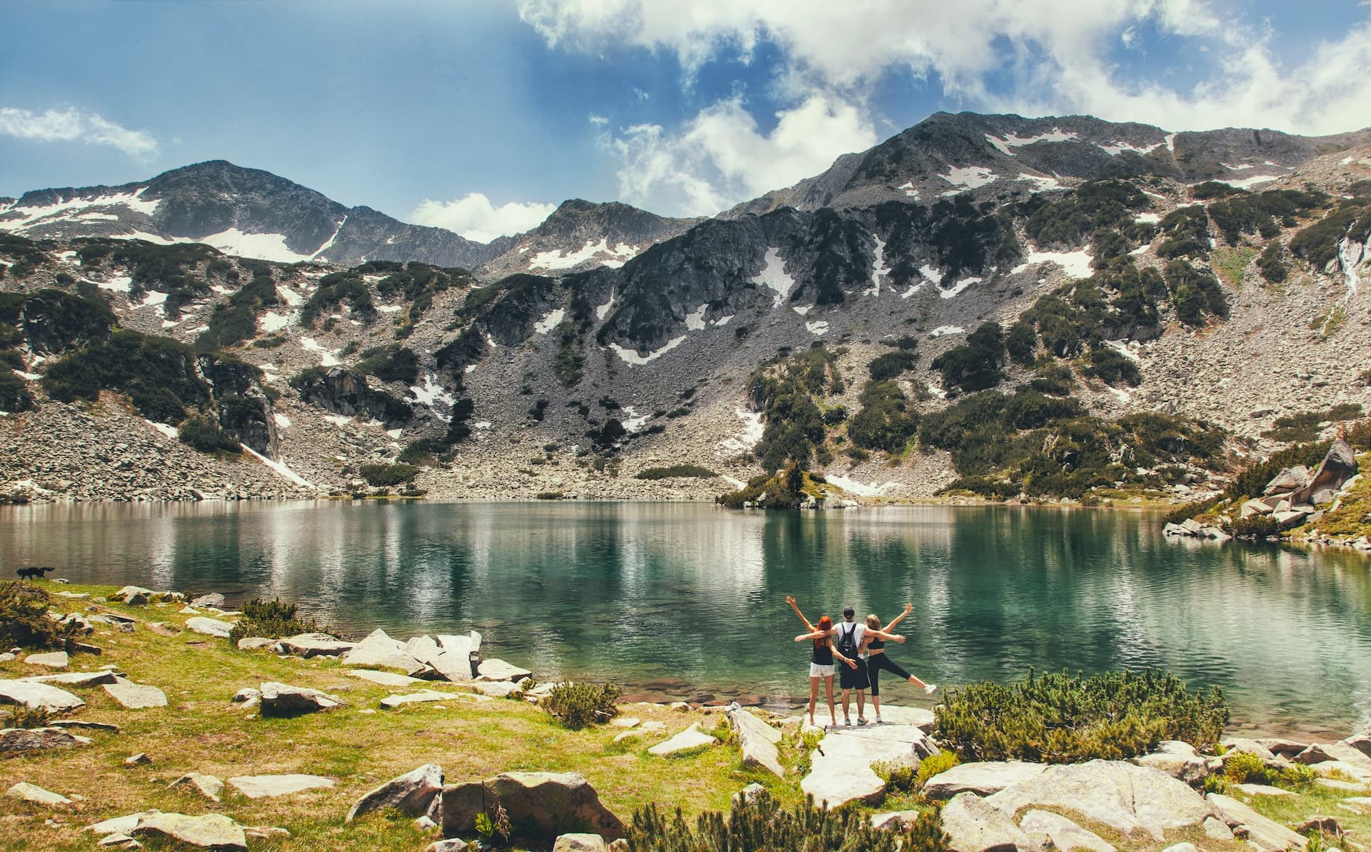
Kick a rock loose on the ridge above Vihren Hut and it clatters down like a dropped teacup — white, brittle, unmistakably marble. That's the first surprise of hiking Bulgaria's Pirin range. The second is how few people have heard of it, despite peaks over 2,900 m, more than a hundred glacial lakes, a UNESCO listing since 1983 and a knife-edge ridge that draws comparison to the Dolomites' vie ferrate.
Pirin sits in Bulgaria's southwest corner, a compact 400 km² of high alpine terrain squeezed between the Struma and Mesta rivers. It's the country's second-highest range after Rila, and its most vertical. Where Rila spreads wide, Pirin knifes upward.
Pirin at a Glance
Highest peak | Vihren, 2,914 m |
Summits over 2,600 m | 60+ |
Glacial lakes | 118 |
National Park | 403.56 km² · UNESCO since 1983 |
Range size | 80 km long, 40 km wide |
Huts | ~12, spaced a day's walk apart |
Best Season | Early July – mid-September |
Base | Bansko · 2.5–3 h from Sofia |
This is the guide we wish someone had handed us before our first Pirin traverse. What follows: the geology that shapes the routes, the signature hikes, the hut network, when to go and when not to, and the one phone call every hiker should make before setting off.
Pirin at a Glance
Before we get into routes, these are the numbers that shape every decision:
The range
Second-highest mountain range in Bulgaria.
Southwestern corner of the country.
Roughly 80 km long, 40 km wide.
Protected as Pirin National Park, a UNESCO World Heritage Site since 1983, covering 403.56 km².
The peaks
Over 60 summits above 2,600 m. The signature summit is Vihren (2,914 m), Bulgaria's second-highest after Musala and the Balkans' third-highest overall. Kutelo (2,908 m) and Banski Suhodol (2,884 m) round out the marble crest just north of it.
The lakes
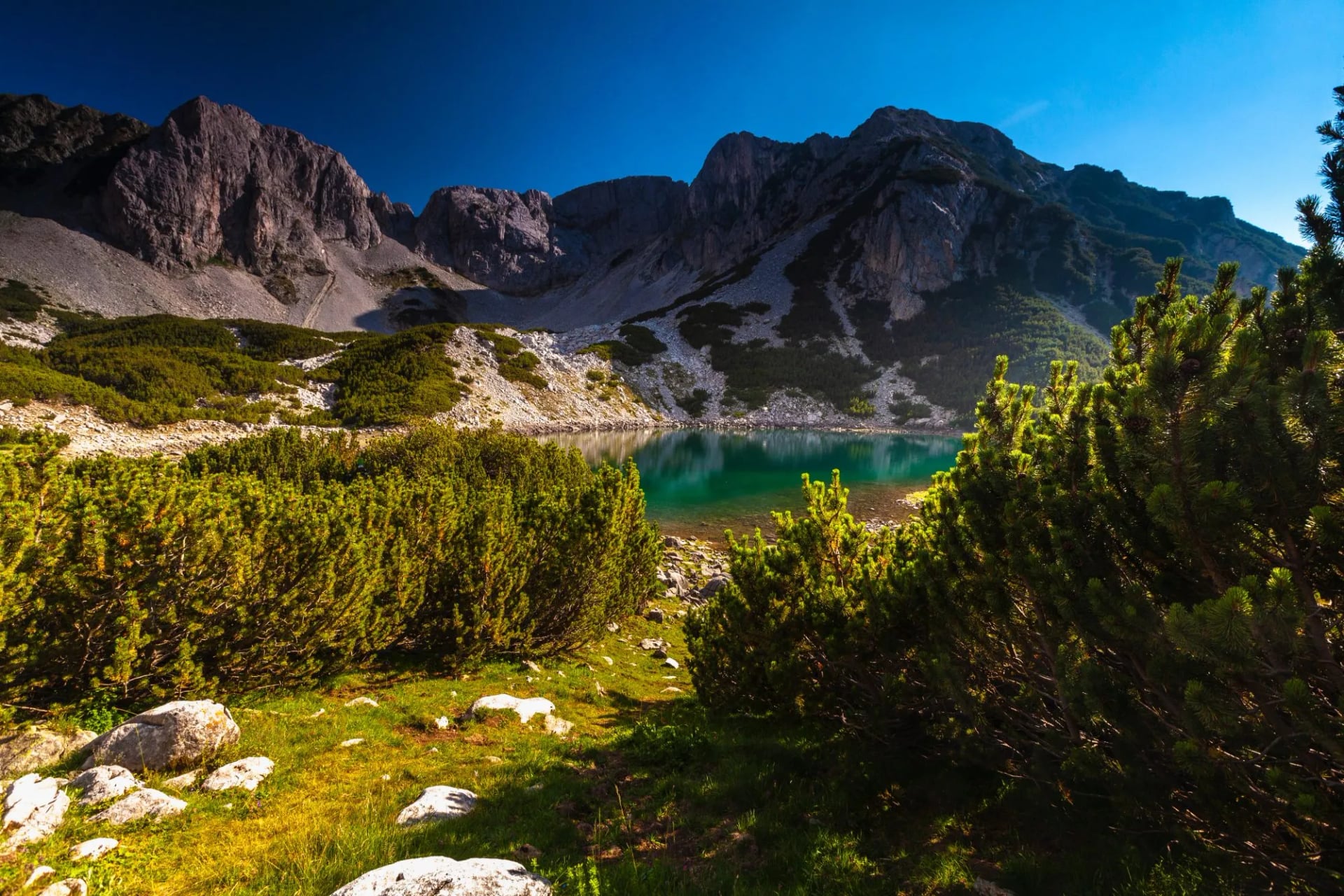
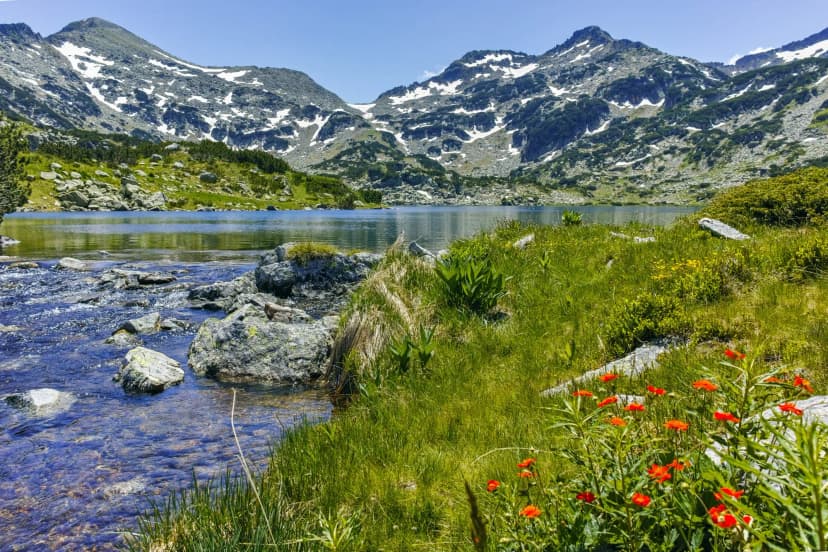
118 glacial lakes scattered across the high cirques, the largest and deepest of them Popovo Lake in the granite south. Most are turquoise, most are ice-fed, all of them sit above 2,000 m.
The huts
Around a dozen staffed huts and shelters spaced roughly a day's walk apart — enough to build multi-day traverses without carrying a tent.
The best season
Reliable hiking window: early July to mid-September. Snowfields linger on the high traverses into late June most years, and afternoon storms sharpen from mid-August onward.
The base
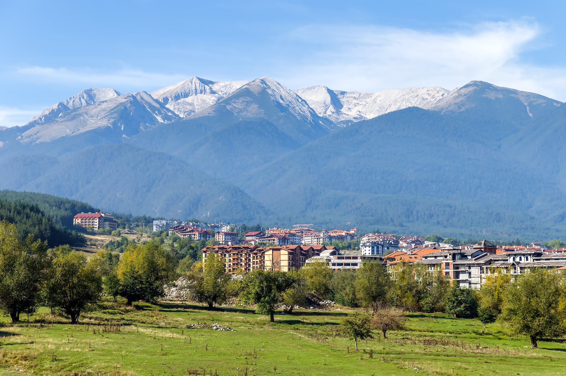
The ski town of Bansko, on the northeastern edge of the range, is the gateway for most walkers. Sofia airport is a 2.5–3 hour drive.
The Two Halves of Pirin: Marble North, Granite South
If you understand one thing about the Pirin Mountains map before you unfold it, understand this: the range has two distinct halves, and they hike very differently.
The marble north
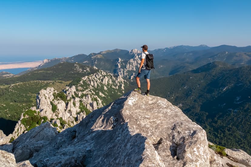
Everything north from Vihren and Todorka ridge is built of Mesozoic marble and limestone. The rock is pale, jagged, quick to shed scree, and shot through with karst features: sinkholes, dry valleys, cave systems. Trails climb hard, exposure is real, and above the treeline the terrain feels dry and stony even in July. This is where the famous peaks sit and where most hut-to-hut routes stitch themselves together.
The granite south
South of the Todorka divide is granite and gneiss. Rounder ridges, more lakes tucked in glacial cirques, more meadows, longer valley walk-ins. Popovo Lake and the great cirque of Popovo sit here, along with the Tevno Ezero circle. If you want lake-country hiking with less exposure and fewer people, aim south.
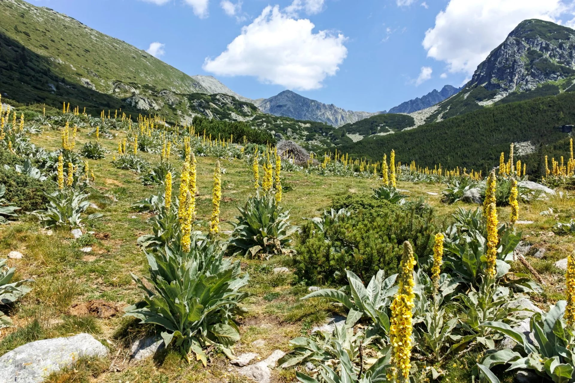
Most first-time visitors underestimate the geological split. They plan a "Pirin traverse" imagining a homogeneous walk, and get whipsawed between white marble scree in the morning and knee-deep gentian meadows by mid-afternoon. That's the pleasure of it — but it demands you pack for both.
Signature Routes and Peaks
You could spend a summer here and not repeat a trail. Five routes deserve their own name — plus one advanced objective that keeps coming up and is worth noting.
1. The Muratovo and Okoto ("The Eye") lake circuit
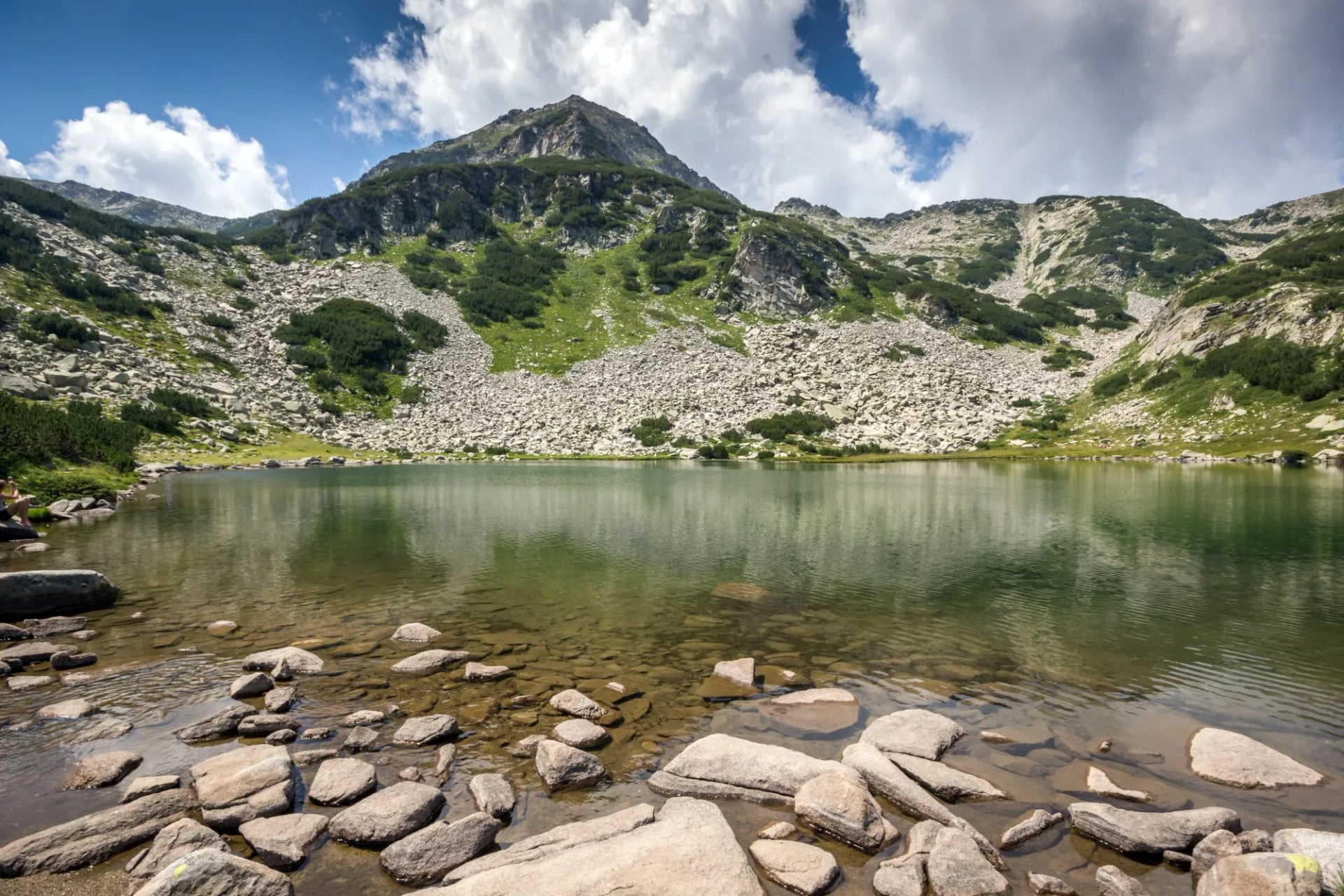
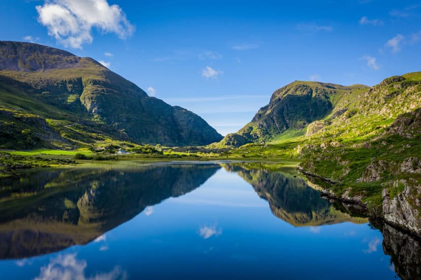
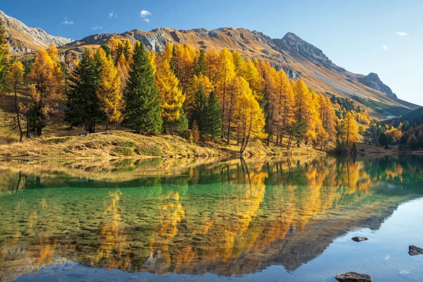
The photo-book day of any Pirin trip, and the reason Pirin's Glacial Trails swings south from Vihren Hut on its second walking day. A high-altitude traverse through a chain of glacial tarns — Muratovo, Hvoynato, Okoto ("The Eye") — dropping to Demyanitsa Hut through the Vasilashki cirque. Roughly 11 km, 615 m up and 710 m down. Non-technical, dramatically quieter than the Vihren corridor, and if you get a still morning, you'll see the peaks reflected on the water so cleanly it's hard to tell up from down.
2. Baikushev's Pine and the Banderitsa Valley
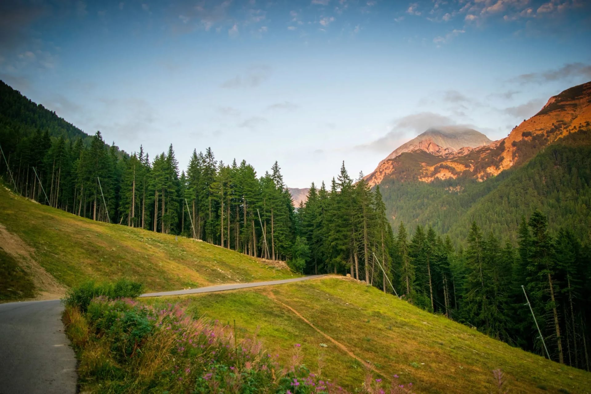
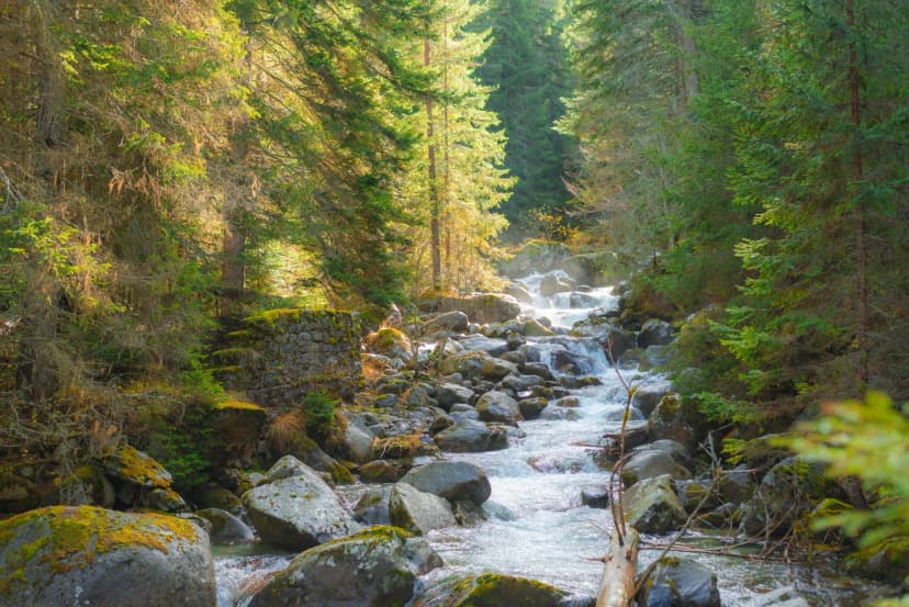
The classic walk-in from Bansko to Vihren Hut, and the perfect first day in the range. The trail climbs through the shaded Banderitsa Valley — Bulgarian pine, spruce, a stream you can hear the whole way up — before opening onto the Banderishka meadow and, roughly halfway up, the ancient Baikushev's Pine. This Macedonian pine is one of the oldest trees in Bulgaria, dated to around 1,300 years old, and it stands, alone, at 1,930 m. After admiring it, push on to Vihren Hut and dinner.
3. Vihren peak (2,914 m) — the classic day summit
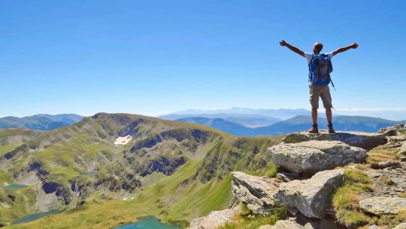
For hikers who want to bag Bulgaria's second-highest peak, this is the day. Roughly 6–7 hours round trip from Vihren Hut at 1,950 m, following the standard north-northeast ridge. No technical passages, but the last hour is loose scree and the summit ridge is exposed to any weather that comes in off the Aegean. Start at first light. The panorama takes in Rila to the north, the Rhodopes east, and on clear days the Aegean shimmer 100 km south. It's an add-on rather than the main event on most guided itineraries — but if you have an extra day at Vihren Hut, this is where it goes.
4. Popovo Lake and the Tevno Ezero cirque
A southern granite counterpoint to everything above. Popovo is the largest and deepest glacial lake in Pirin, at 2,234 m. From Bezbog Hut (accessible by chair lift from Gotse Delchev Hut), the standard loop takes in Popovo, Tipitsko, Kremensko and the stone shelter at Tevno Ezero (2,512 m). Two comfortable days if you overnight at the shelter, and by far the quietest walking in the range.
5. The multi-day E4 traverse
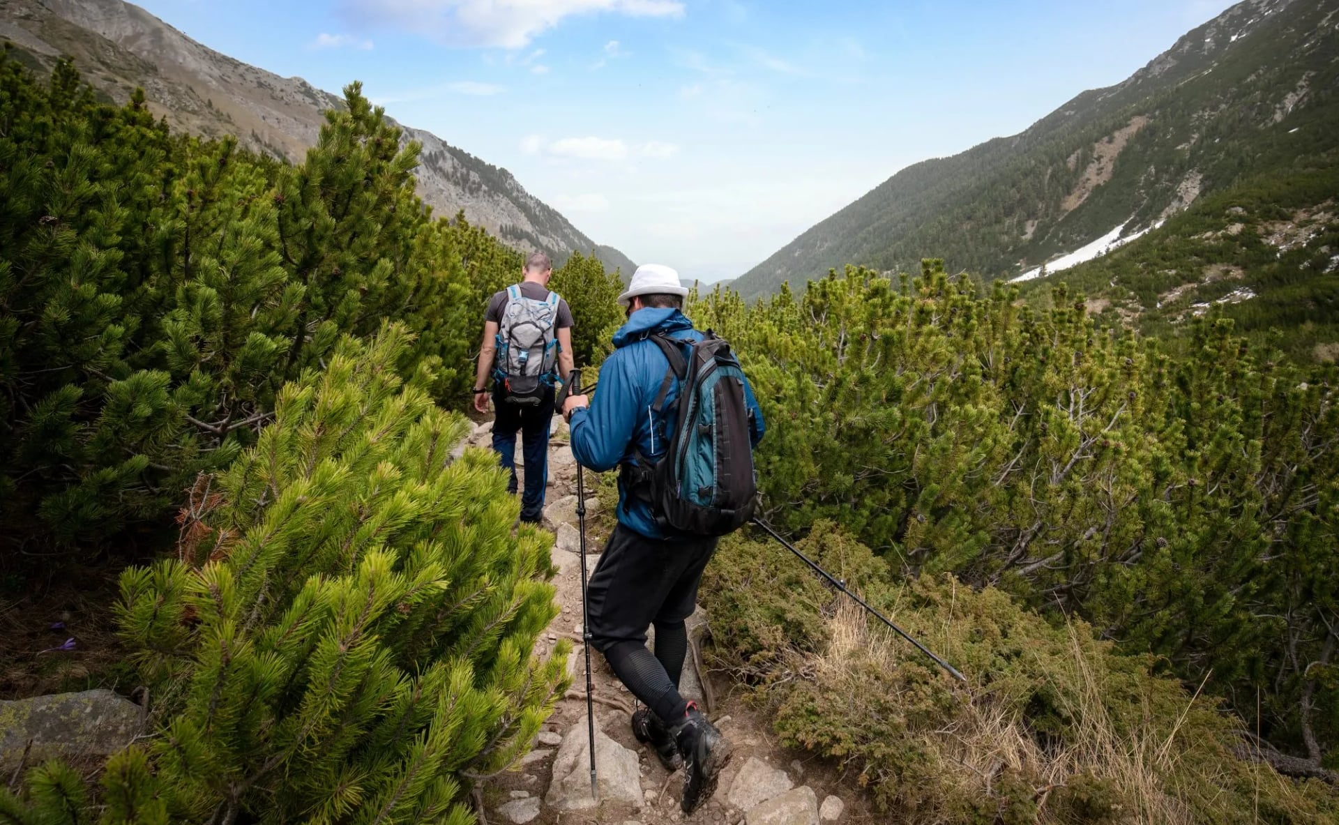
The European long-distance path E4 crosses the full length of Pirin. Serious walkers use it as the spine for a 5–7 day north-to-south traverse — Yavorov → Vihren → Demyanitsa → Bezbog → Pirin — that stitches together most of the above. Waymarked, hut-based, and probably the best way to understand the range as a whole.
6. Koncheto — for experienced scramblers only
You'll see Koncheto discussed everywhere online. Koncheto ("The Foal") is a 400-metre marble knife-edge at ~2,810 m linking Kutelo with Banski Suhodol, protected by a steel cable. On one side, a near-vertical 300–400 m drop; on the other, a 30-degree slide of 800 m. It's not technical climbing, but it is exposed scrambling on marble with your hands on a wire — walkable in dry conditions only, first-light start, and honestly not a first-trip objective. Most Pirin visitors are better served by the five routes above and leaving Koncheto for a return trip with a guide. If you're set on it, a Vihren Hut → Yavorov Hut day is the standard way.
Huts, Refuges and Where You'll Sleep
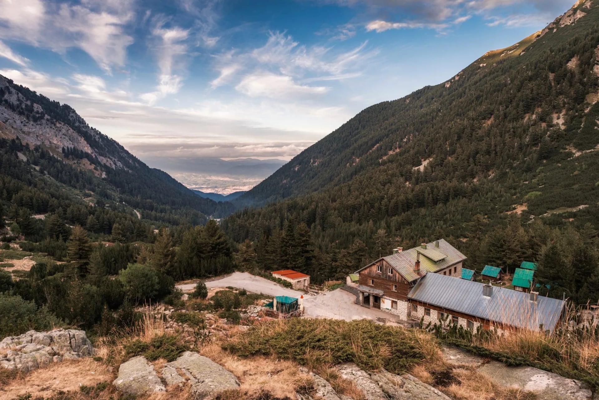
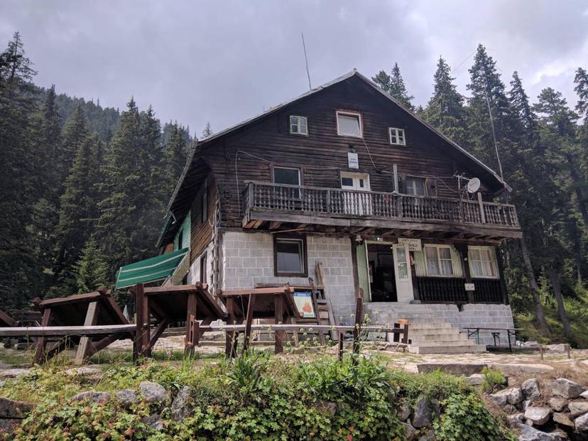
Pirin's hut network is the reason multi-day trekking works here without a tent. They're rustic — think dormitory bunks, half-board meals, sometimes patchy hot water — but they're spaced right and they're staffed through the summer. Cash is generally expected. Book ahead in July and August; the good ones fill.
Reserving a hut in Pirin is still mostly done via a phone call or an email in Bulgarian; in our tours, we handle it for you, or the Pirin National Park visitor centre in Bansko will walk you through it in person. Either way, don't leave it for the day you set off.
When to Go Hiking in the Pirin Mountains?
Here's the honest one-line answer: Pirin is walkable hut-to-hut from early July to mid-September, on well-waymarked trails, with a single sharp exception — the Koncheto knife ridge — that decides how much of the range you'll actually see. The high alpine window is therefore shorter than the one in the western Alps, and sharper at both ends.
Late June: Snow still on the higher passes. Approach trails may be walkable, but Koncheto, the summit of Vihren and the Tevno Ezero traverse can be roped-in-snow terrain into the last days of the month. Beautiful, and empty. Not for first-timers.
July: The reliable start of the season. Long days, meadows in full flower, glacial lakes finally ice-free. Afternoon thunderstorms build slowly but rarely violently in the first two weeks. Our pick for a first Pirin trip.
August: Peak season. Huts full, weather more volatile, storms sharper and less predictable in the afternoon. Book everything, and start every day at dawn.
Early to mid-September: The quiet payoff. Cooler nights, harder trail underfoot, gentians turning, fewer walkers. The chance of a stable high-pressure week is high. This is when the guides go back for themselves.
Late September onward: First snow can dust the summits any time from the third week. Huts begin to close for the season. Possible for experienced walkers on lower routes, but the alpine crest becomes serious business.
If you can go once, go in the first two weeks of September. It's the window Pirin regulars quietly reserve.
Storms, Ridges and the One Call to Make Before You Set Off
Every Balkan range has its own way of teaching careless hikers. In Pirin, it's the interaction between exposed marble ridges and fast-building afternoon storms off the Aegean.
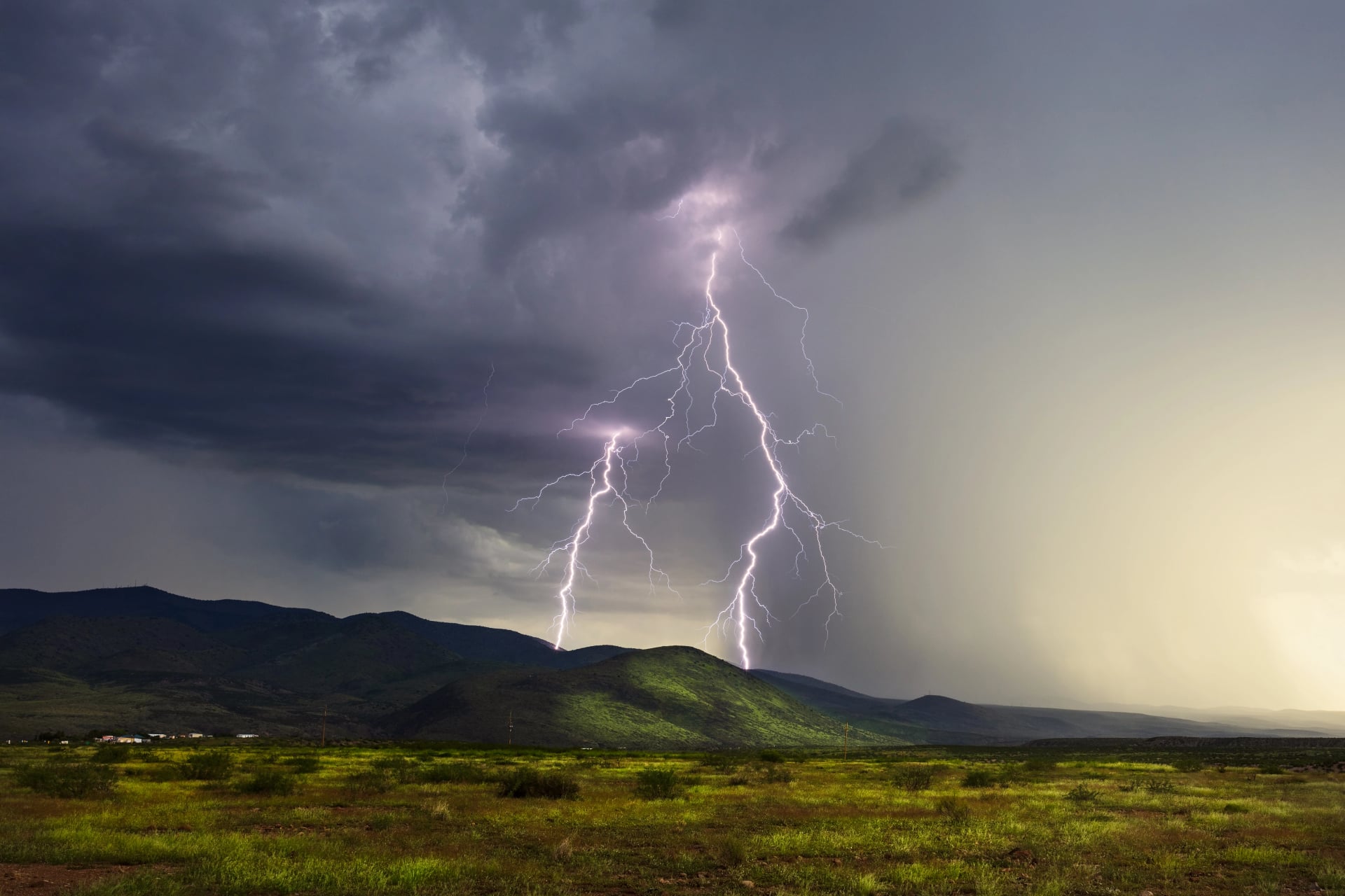
The pattern repeats through July and August. Mornings look flat calm. By 10:00 a soft cumulus builds over the southern granite. By 13:00 those clouds have organised, and by 15:00 the ridges around Vihren and Kutelo are in cloud, wind and — often enough — lightning. Marble conducts a strike, and there is almost no shelter above the treeline.
The rule guides live by is simple: be off the ridge by 13:00 in July, by 12:00 in August. That means starting Vihren-summit days at 05:30, and treating any exposed high-crest route as a first-light objective, not a "we'll see how we feel" one.
Two habits worth building before you fly out:
Check the forecast at weather.bg, the site of Bulgaria's National Institute of Meteorology and Hydrology (NIMH) — the official state weather service. The mountain forecast is more reliable than the international aggregators for storm timing in Pirin.
Save the Bulgarian emergency number: 112. It routes to Planinska Spasitelna Sluzhba (PSS), the country's mountain rescue service. There is no charge to call, and dispatchers speak English. Hut wardens keep the number pinned to their kitchen wall for a reason.
Beyond that: hard shell for wind, real waterproofs (not a poncho), a headlamp even on day walks (huts serve dinner late; storms shorten the day), enough cash to pay for two nights in a hut you didn't plan on, and a paper map. Signal fails in the granite south.
Maps, Waymarking and Getting There
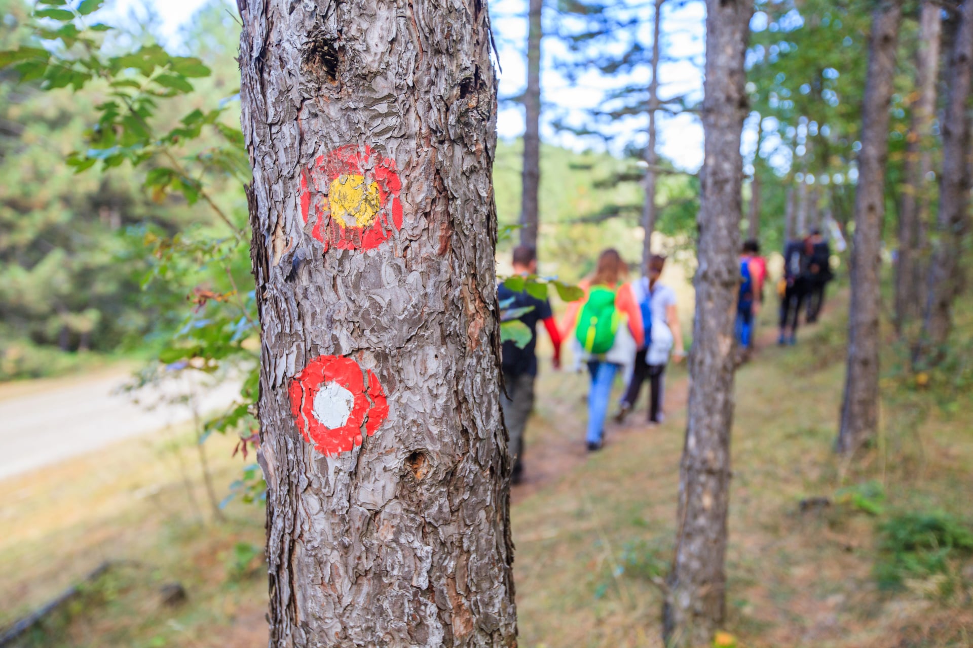
Pirin's waymarking mainly consists of painted blazes on rocks and tree trunks, in the standard Bulgarian system: red for main long-distance routes, blue and green for connectors, yellow for local trails. Junctions are usually signed with wooden posts giving destination and walking time. Faded blazes are common on less-travelled routes in the granite south.
For a paper Pirin Mountains map, the two references most guides use are:
Kartografia Pirin (1:55,000) — the standard tourist map, sold in Bansko and Sofia bookshops.
Domino Pirin & Bansko (1:50,000) — often clearer for the northern marble section.
Digital: pirin.bg hosts official park maps and the current rules on wild camping (permitted in designated zones only) and access. Check before you fly.
Getting to Bansko
Sofia International Airport is the main gateway. From there:
By car: 2.5–3 hours south on the E-79, then east across the Predela pass. Rental car is the most flexible option if you plan to explore southern Pirin.
By bus: Direct services from Sofia's Central Bus Station to Bansko run several times daily, roughly 3 hours.
By train: Sofia to Septemvri, then the narrow-gauge line through the Rhodopes to Bansko. Slow, beautiful, half a day.
Bansko itself is a working ski town with more accommodation and mekhana restaurants (traditional Bulgarian restaurants) than a range this size deserves. Two nights either side of the walk is not overkill.
Ready to Walk Pirin?
The Pirin Mountains reward walkers who show up prepared: proper boots, a real forecast, a hut booking, and — ideally — someone who knows the range to handle the logistics. See our complete guide on hiking in Bulgaria for more detail on the whole country.
That's what our Pirin's Glacial Trails tour is built for. Five days, four nights, out and back from Bansko. Two nights in mountain huts (Vihren and Demyanitsa), two in a comfortable Bansko hotel, and a route that threads the Banderitsa Valley, the Muratovo–Okoto lake chain, Baikushev's 1,300-year-old pine and the Yulen waterfall — without asking you to solve booking, transfers or navigation.
What we handle:
All accommodation, from mountain huts (half-board) to 3-star hotels (breakfast)
Digital guidebook with detailed itinerary, route notes and practical information
GPS-navigation app with the full route pre-loaded — no faded blaze anxiety
Tour design, logistics and on-trip support if anything shifts
You do the walking. We do the rest.
If you'd rather see how it slots in with our other alpine routes, browse mountain hikes across Europe or read how our self-guided tours work — including the digital guidebook and the support line that runs while you're on the trail.
One last piece of advice, from every guide we know who works Pirin: don't skip the second morning in Bansko. Bakery, coffee, a slow start, and a bag of banitsa for the trail. The peaks aren't going anywhere. The walk is better when you're not in a hurry to reach them.
Frequently Asked Questions

About this author
Ajda is our travel advisor, raised in a village surrounded by mountain peaks. Hiking entered her life early on and remains her favorite way to reconnect with nature.














.jpg&w=828&q=75)












































.jpg&w=828&q=75)























