Malá Fatra Hiking: Ridge Traverse, Peaks and Huts
Hiking Malá Fatra end to end: 54.4 km and 3,250 m of ascent over five days, two mountain huts, and the closure that shuts Rozsutec until mid-June.

Suzana
Published August 10, 2026
Edited September 21, 2026
10 min read
Quick links
Don't want to read all this?
We've planned 2,000+ hiking trips. Send your dates, fitness and group size — we'll map the route and book every night.



Why Walk Malá Fatra Instead of the High Tatras
Start with the height, because it sets expectations. Veľký Kriváň, the range high point, reaches 1,709 m, where the High Tatras top out at 2,655 m. Malá Fatra is grassed ridges and beech forest, where the High Tatras are bare rock and scree. You walk here rather than scramble. If you are choosing between Slovak ranges, our ultimate guide to hiking in Slovakia sets Malá Fatra against the Tatras and the rest of the country.
Malá Fatra National Park covers 20,835 ha, with a buffer zone of a further 20,781 ha, following a re-declaration that took effect on 15 July 2026. Inside that compact area sit 157 km of marked hiking trails, a dense network by any measure. The park was declared in 1988, protected as a landscape area since 1967. Waymarking is thorough and consistent across the range.
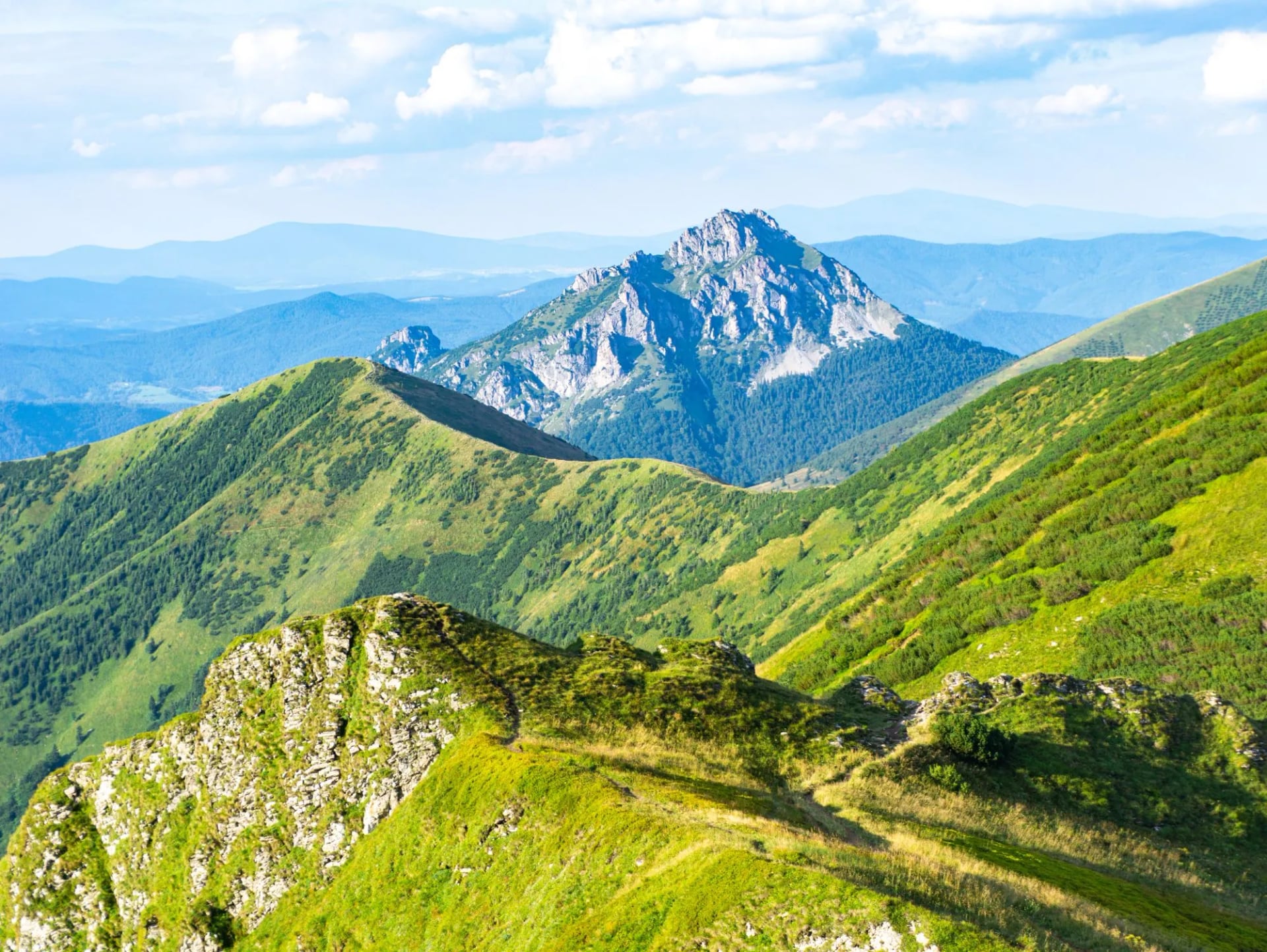
The range splits in two at the Váh river, near Strečno. South of it lies Lúčanská Malá Fatra, north of it Krivánska Malá Fatra. That river gap makes a traverse feel like two ranges. The southern half is broader and more pastoral, the northern one sharper, with the limestone towers of Rozsutec at its edge.
The Ridge Traverse, Day by Day
The five walking days at a glance, north-bound from Martin:
Day 1 Martin to Martinské Hole: 9.8 km, 950 m up, 45 m down
Day 2 Martinské Hole to Strečno: 14 km, 460 m up, 1,350 m down
Day 3 Strečno to Chata pod Suchým: 7.8 km, 740 m up, 30 m down
Day 4 Chata pod Suchým to Chata pod Chlebom: 12.2 km, 1,040 m up, 700 m down
Day 5 Chata pod Chlebom to Kraľovany: 10.6 km, 60 m up, 1,040 m down
The first walking day climbs to Martinské Hole: 9.8 km, 950 m of ascent, just 45 m of descent. It is one sustained climb onto the plateau. Day one tells you whether your pack is packed right.
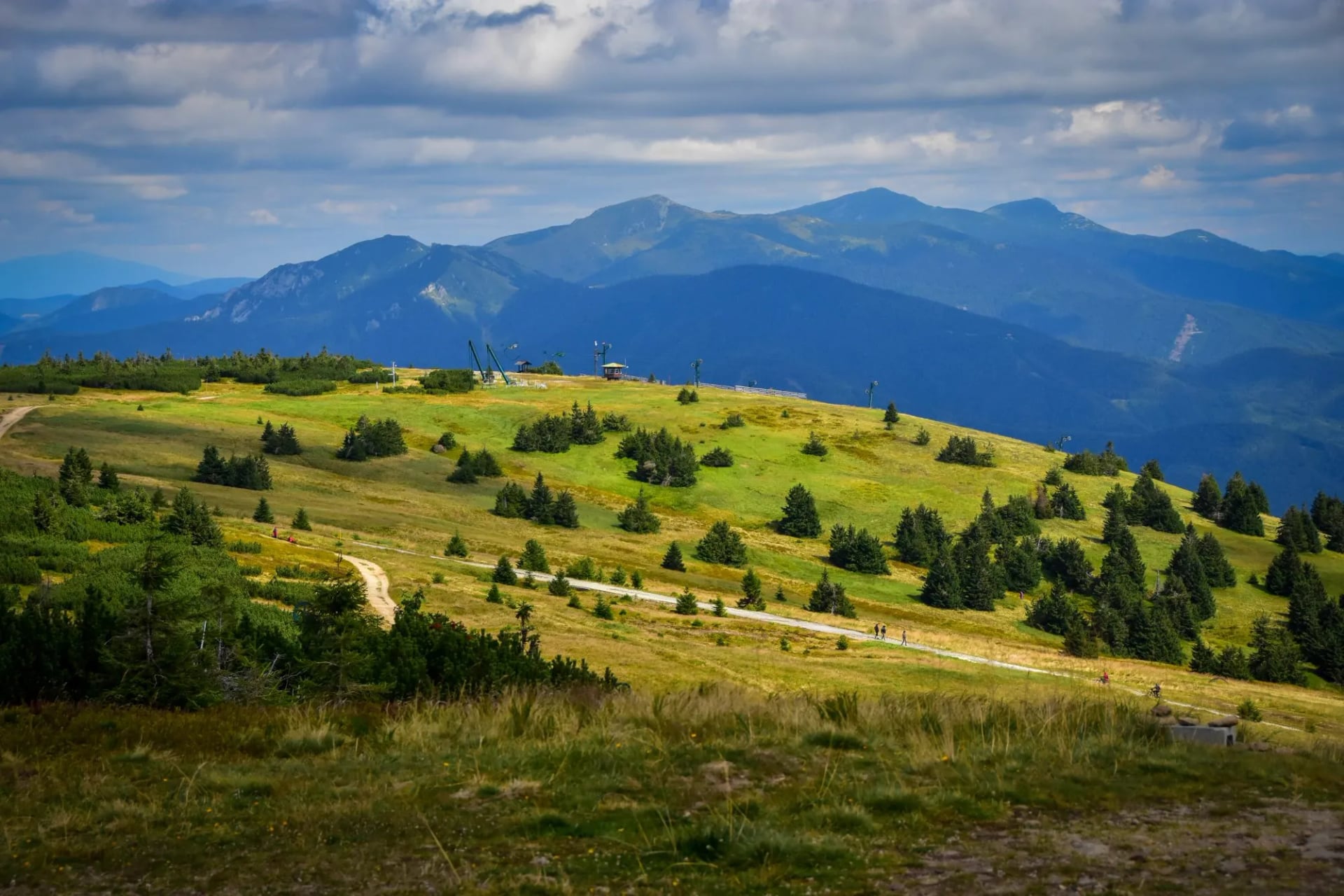
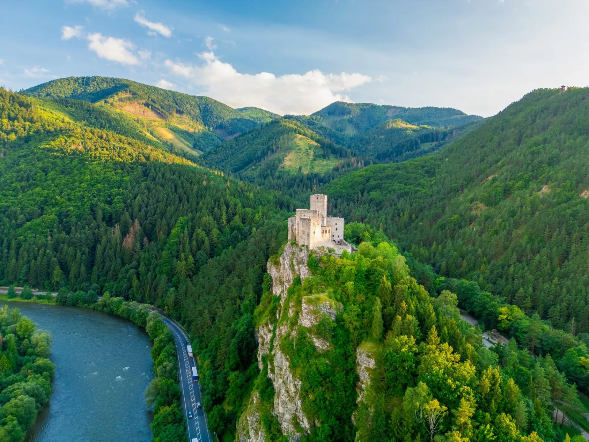
Day two runs the ridge, then drops hard. It covers 14 km with 460 m of climbing against 1,350 m of descent, the biggest drop of the week. That takes you off the southern subrange to Strečno on the Váh, where the castle sits on its crag above the river. Long descents punish knees more than climbs punish lungs.
Day three is short and steep in the other direction. It climbs 740 m in 7.8 km up to Chata pod Suchým, as steep per kilometre as the first day, and with two days already in your legs. Treat it as a half day rather than an easy one.
The Krivánska ridge crossing is the centrepiece: 12.2 km, 1,040 m up, 700 m down. This is the day that justifies the whole traverse. It runs the high crest past the range's principal summits. The final day unwinds it, 10.6 km with 60 m of climbing and 1,040 m of descent to Kraľovany.
Across five walking days the route totals 54.4 km and 3,250 m of ascent. That is a modest distance carrying a serious amount of climbing. Roughly 60 m of ascent per kilometre walked is the figure that matters. Pace yourself on the level sections, because there are fewer than you expect.
The Peaks on the Ridge
The main crest carries a run of summits within a few hundred metres of each other in height. No one peak dominates here the way a Tatra summit does. Three shape the traverse: two because you cross them, one because its access rules will change your plans.
Veľký Kriváň, the Range High Point
Veľký Kriváň is the highest point in the range at 1,709 m. The approach along the ridge is a walk, not a climb, on grass and worn rock with the path clear underfoot. The summit is broad enough to sit on in a wind. It still stands nearly 950 m below the highest Tatra peak.
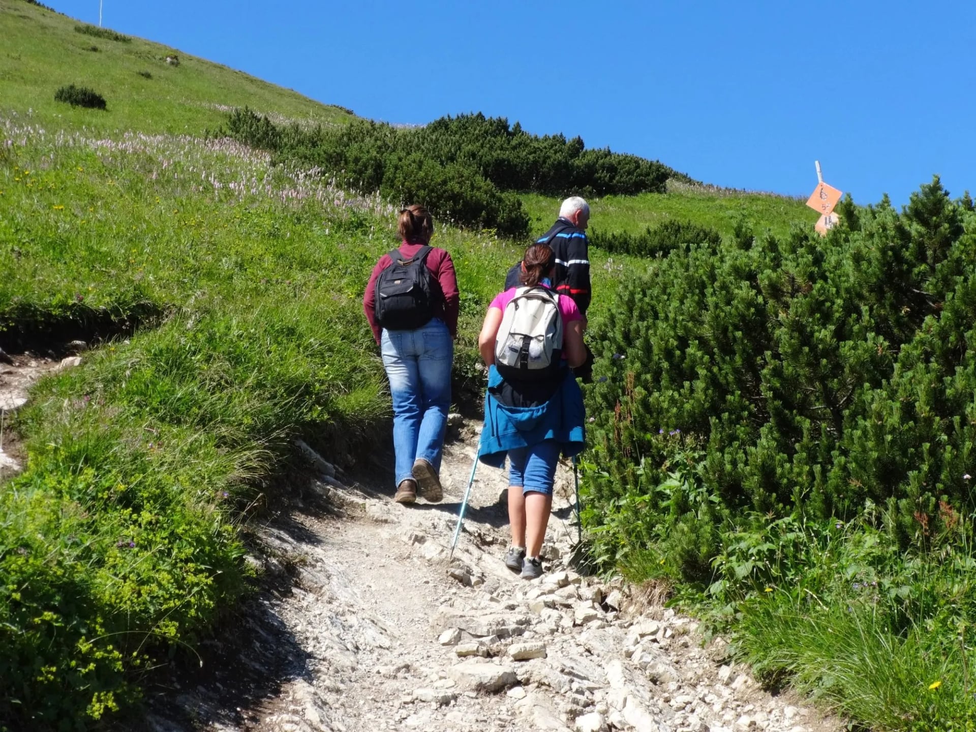
A cable car runs from Vrátna dolina up to Snilovské sedlo, the saddle just below the peak. That lift makes this one of Slovakia's most accessible big summits. For a hut-to-hut walker it is mainly a bad-weather bail-out. Malý Kriváň, its neighbour at 1,671 m, sits on the same crest and falls on the same day.
Chleb and the Main Ridge
Chleb gives Chata pod Chlebom its name, and at roughly 1,646 m it is the third of the high trio on the crest. The ridge either side of it is the most exposed walking on the route. Steep grass falls away in places, though it never needs hands. In cloud this section demands real attention.
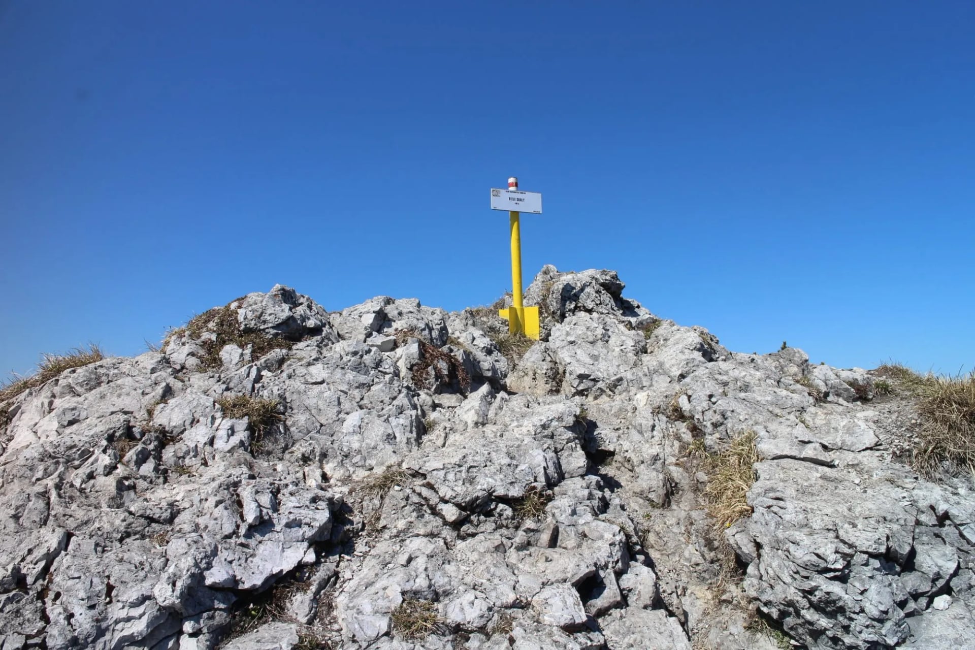
This section is where the traverse earns its 3-out-of-5 technical grade. The difficulty is exposure and weather, not climbing. That is a different thing to prepare for, and an easier thing to turn back from. The hut sits just below the crest, so shelter stays close all day.
Veľký Rozsutec, the Chained Summit
Veľký Rozsutec is the range's signature peak, a limestone pyramid that appears on most photographs of Malá Fatra. Its upper section is chained and laddered. This is the one summit here that is scrambling, not walking. At 1,610 m it is not the highest, but it is the most demanding thing most visitors attempt.
There is a catch that almost no guide mentions. The Rozsutec trail closes every year from 1 March to 15 June, along with the Obšívanka and Vendovka to Malý Kriváň routes, to protect wildlife through the breeding season. Plan a late-spring trip around this peak and you will find the red trail shut. If the summit is your reason for coming, come after mid-June.
Sleeping on the Ridge: Malá Fatra's Huts
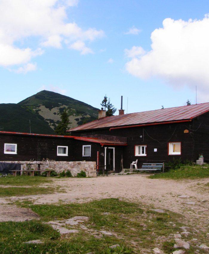
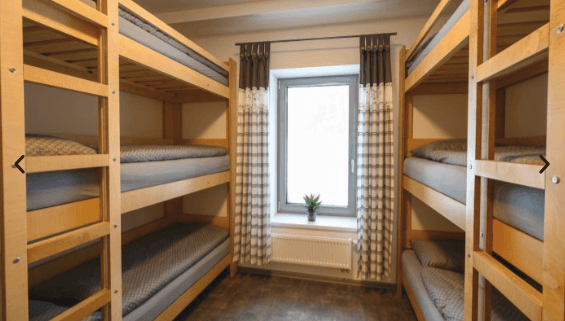
Two mountain huts carry a traverse, and they are different propositions. Chata pod Chlebom sits at 1,423 m, the highest mountain hut inside the national park. It sleeps around 48 across two nine-bed rooms, a five-bed room and an attic dormitory. Expect a bunk, a shared table and a fixed evening meal.
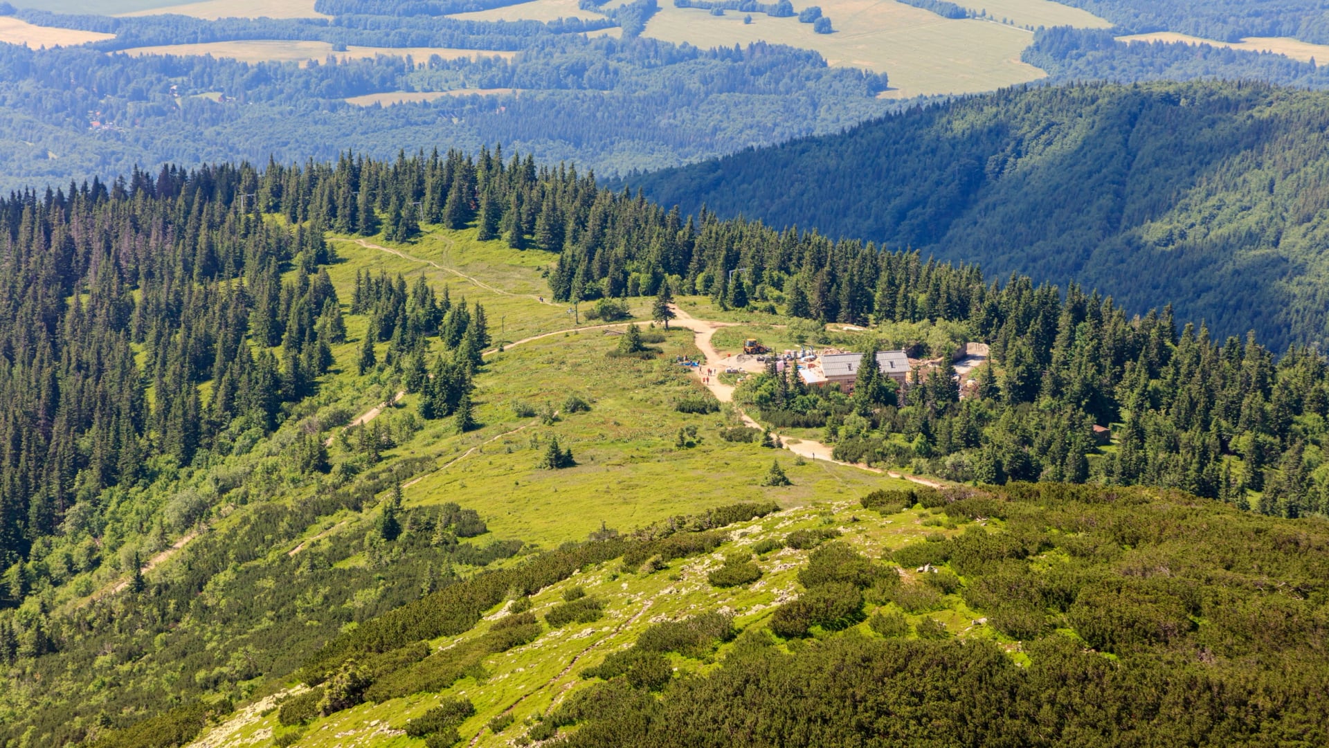
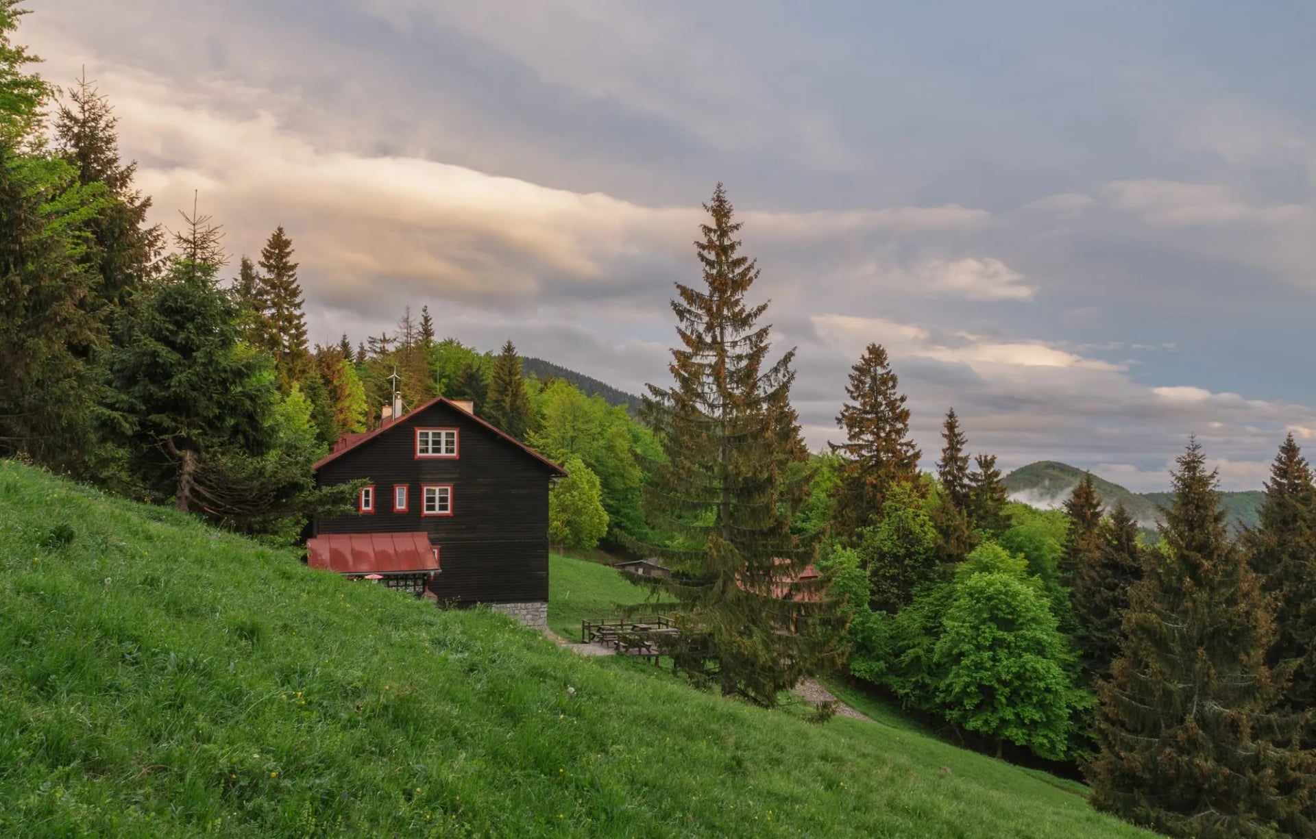
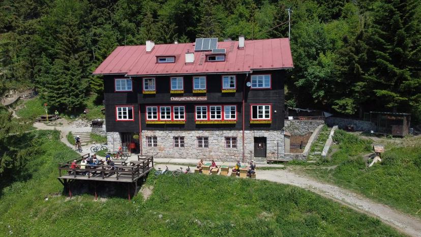
Chata pod Suchým is the larger and more comfortable hut, at 1,075 m below the peak of Suchý at 1,468 m. It has 62 fixed beds plus 14 dormitory places, and a private room is actually possible at this one. It runs all 365 days a year, roughly 07:00 to 22:00, and takes cards as well as cash. Current availability sits on its own site.
Having only two huts fixes the shape of the route. You cannot rearrange this traverse the way you can a Tatra one, because there is no third high bed to move a night into. Bivouacking is only legal within 100 metres of a hut, so there is no wild-camping option to fall back on. That is why the traverse week takes a valley night at Strečno instead of a neat high-level chain.
When to Walk Malá Fatra
The park sets access hours by season, and they are enforced. From 16 April to 31 October you may be on the trails from 06:00 to 21:00. From 1 November to 15 April the window narrows to 07:00 to 18:00, eleven hours of legal walking time. On a 12 km ridge day in poor conditions, that is tighter than it sounds.
Layer the spring closure on top and the picture sharpens. Three trails shut from 1 March to 15 June, including the Rozsutec route. Early June is the worst timing for a Malá Fatra trip. Late June through September is the reliable window, with the huts fully staffed.
Snow lingers on the main crest well past the calendar spring, and the north-facing gullies below Chleb hold it longest. A traverse before mid-June is a snow route, not a walk. Winter walking here is rewarding, but it is a different trip, needing traction and an early start.
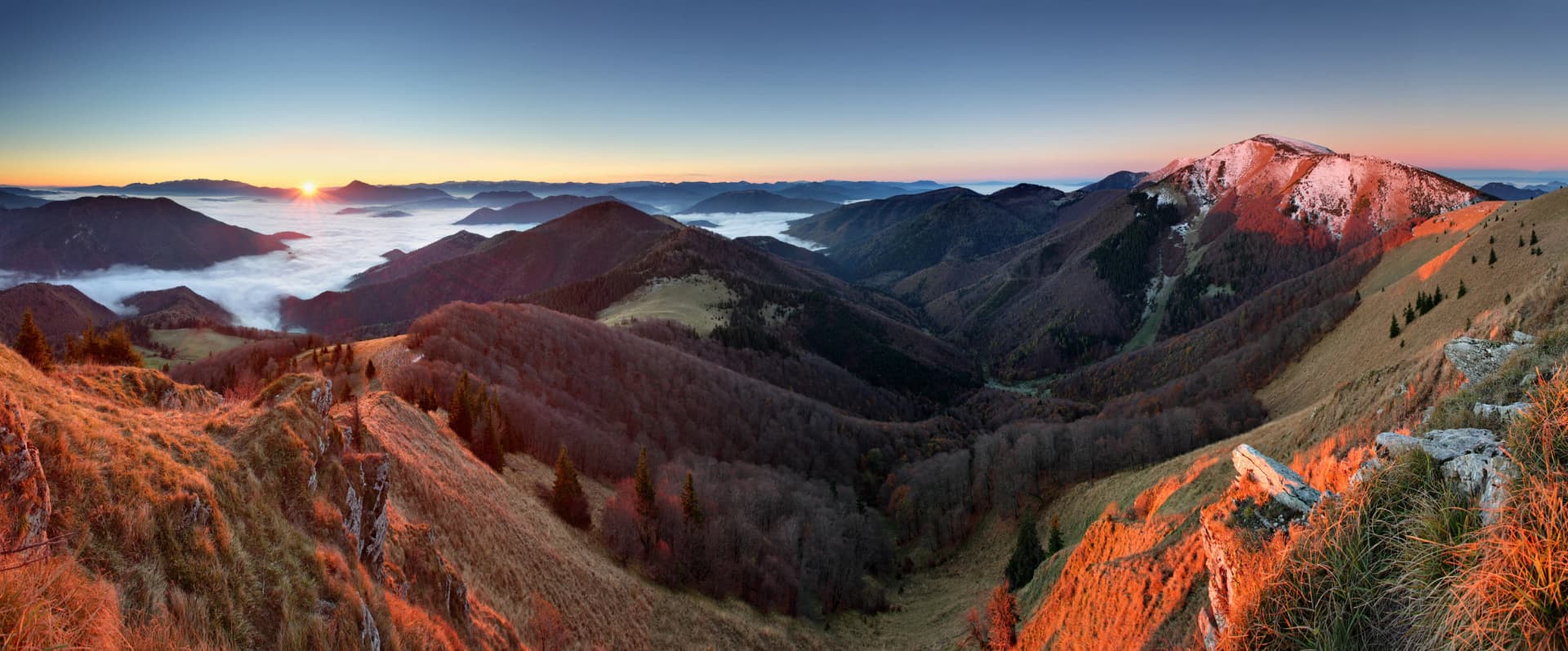
Autumn is the visual peak, when the beech below the treeline turns and the grass ridges go copper. Days shorten fast, though, and the 18:00 curfew returns on 1 November. September gives settled weather and thinner traffic than August. It is the best single month for a traverse.
Know Before You Arrive
Žilina is the gateway. It sits on the main Bratislava to Košice railway, so you can reach the range by train from either end of the country, or from Vienna and Kraków with one change. Reaching Malá Fatra without a car is genuinely straightforward. Martin serves the southern subrange, Terchová and Štefanová the northern one.
Slovakia uses the euro, and Slovak is the language, with English widely spoken in the tourist villages and patchier in the huts. Chata pod Suchým takes cards, but carrying cash for the higher hut is the safer assumption. There is no cash machine above the valley floor. Download offline maps before you start, because ridge coverage is unreliable.
Water is the detail people get wrong. The main ridge carries very little surface water, so you fill up at the huts and carry what you need. On the 12.2 km stretch between the two huts there is no reliable refill. Two litres per person is the working minimum on that day.
The park rules are worth reading rather than guessing. Dogs must be on a lead throughout, bicycles are restricted to legal roads and marked cycle routes, and collecting plants or rocks is prohibited. On foot you keep to the marked hiking and educational trails, plus the specific places the park designates for walking off them, so a shortcut across a slope is a breach as well as a risk. Bivouacking is allowed only within 100 metres of the four mountain huts, and at Chata pod Chlebom only outside the Chleb nature reserve.
The current rules sit on the national park's own page. The Slovak tourist board carries the wider park overview. Read both before any shoulder-season trip. Closure dates and hours are revised year to year.
Cloud sits on the crest more often than the valley forecast suggests, and the path braids where the grass is worn. Carry a compass and know your escape lines off the ridge. The cable car at Snilovské sedlo and the two huts are the realistic bail-outs. Slovakia's mountain rescue service is reached on 112.
Planning a Hut-to-Hut Week in Malá Fatra
The route above is walked as a supported self-guided week, with bags moved where the road allows and hut nights booked ahead. The booking is the part genuinely worth handing over. Two huts, one of them the park's highest, both fill months ahead in summer. The rest is a matter of arriving fit enough for the Krivánska crest day.
Distance: 54.4 km across five walking days
Total ascent: 3,250 m
Sleeping: two mountain huts plus valley guesthouses
Grade: 3 out of 5 for fitness, 3 out of 5 for technical
The Hut to Hut Mala Fatra week runs the full south to north traverse, from Martin to Kraľovany. Seven days and six nights covers the range end to end. It crosses Martinské Hole, drops to Strečno on the Váh, then takes the Krivánska crest.
For the higher, rockier version, the Best of Tatras Hut-to-Hut Hike covers 40 km and 2,150 m in the High Tatras. The Tatras climb higher; Malá Fatra walks better. Many people do them in that order.
Frequently Asked Questions

About this author
Suzana is our travel advisor and a hiker who believes the best trails aren't just about the summits. She loves spotting alpine plants, watching wildlife, and the laughs, chats, and snack breaks that make every trail worth walking.
















.jpg&w=828&q=75)




















































.jpg&w=828&q=75)






















