The Ultimate GR20 Guide
Everything you need to plan and hike the GR20 in Corsica: the stages with distances, refuge booking, maps, best time and kit list

Suzana
Published August 11, 2026
Edited October 15, 2026
18 min read
Quick links
Don't want to read all this?
We've planned 2,000+ hiking trips. Send your dates, fitness and group size — we'll map the route and book every night.



The GR20 is one of the most celebrated treks in the world, and one of the most humbling. It runs roughly north to south along the granite spine of Corsica, covering about 180 km with a total ascent of around 12,000 m. Guidebooks split it into 15 or 16 stages depending on where they break the days, and our own itinerary uses 15. Between 10,000 and 20,000 people set out each year, most taking 14 to 16 days to finish. It also features in our 10 best hiking trails in Europe.
If the GR20 sounds like more than you want to take on, our complete guide to hiking in Corsica covers the island's gentler trails and how they compare.
It is a fortnight of early starts, aching legs, cold showers, spectacular mountain scenery, and the particular satisfaction that comes from doing something genuinely hard. The trail is marked clearly with red and white paint flashes throughout its length, but the terrain itself is rarely kind. This is not a trail to underestimate.
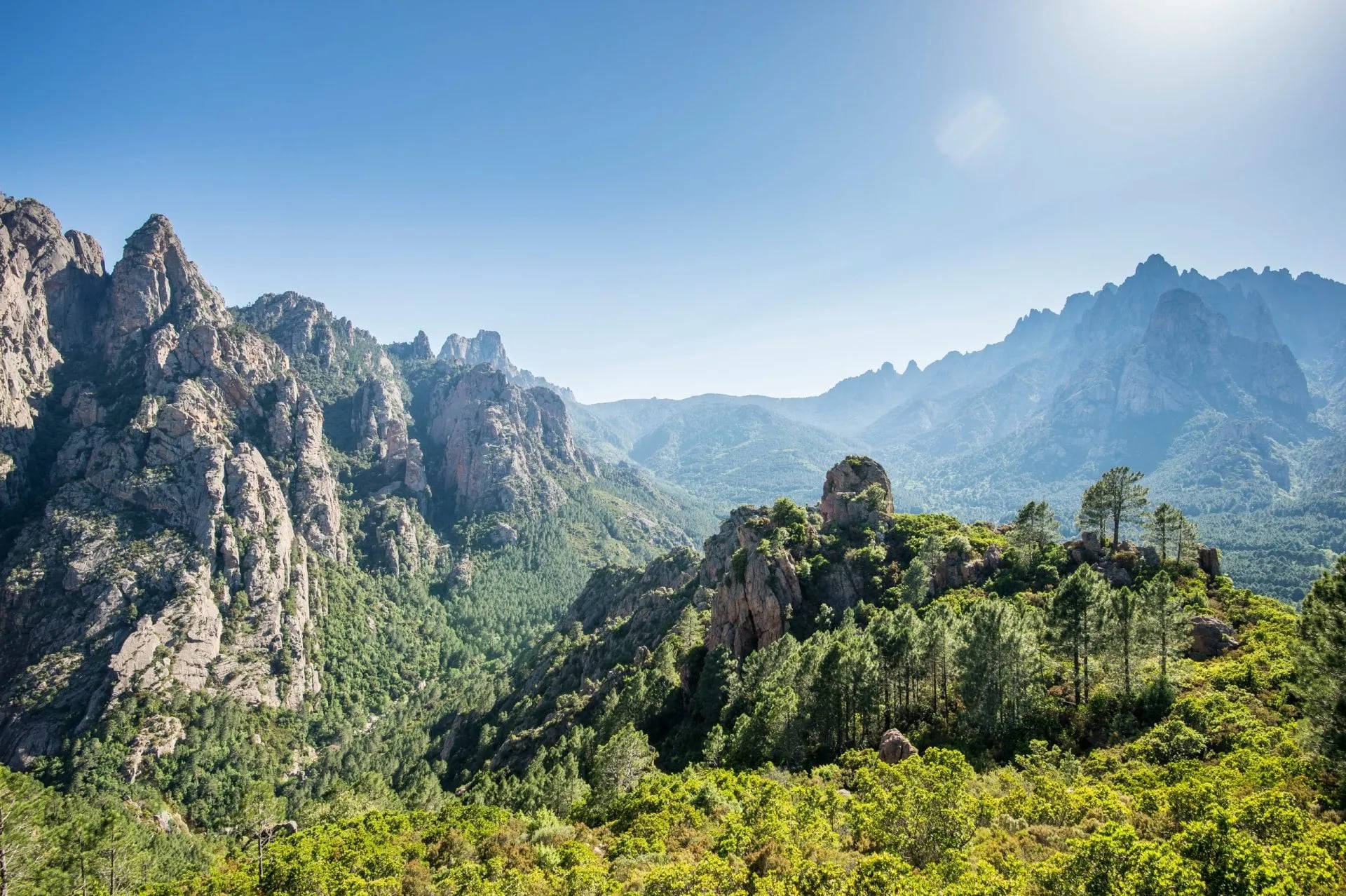
The GR20 route splits naturally into two halves. Vizzavona, sitting at the midpoint and conveniently served by a railway station, is where many hikers either join or leave the trail. The northern section (Calenzana to Vizzavona) is alpine, rocky and technically demanding. The southern section (Vizzavona to Conca) is slightly more rolling, a little warmer, and covers longer daily distances.
The GR20 route: stages, map and distances
The GR20 route runs from Calenzana (near Calvi in the north-west) to Conca (near Porto Vecchio in the south-east). The traditional direction is north to south, which is how the route was designed and how the vast majority of hikers walk it. Starting from the south is possible, and sometimes advisable in early June when snow still covers the northern ridges, but the logistics are slightly less convenient.
For navigation, the standard GR20 map series is IGN 1:25,000. Most hikers carry the Cicerone guidebook by Paddy Dillon (GR20 Corsica: The High-Level Route) instead, which includes all relevant maps in a single booklet and is the most practical English-language reference available. Our guide to trail markings around the world explains how the red and white blaze system compares with other countries.
The stage breakdown below is based on our GR20 Complete Self-Guided Hike itinerary. Day splits, overnight stops and distances may vary depending on your operator, pace and conditions.
Stage 1 Calenzana to Refuge d'Ortu di u Piobbu: 11 km, 1,460 m up, 180 m down
Stage 2 Ortu di u Piobbu to Refuge de Carrozzu: 7 km, 750 m up, 600 m down
Stage 3 Carrozzu to Refuge d'Asco Stagnu: 7 km, 800 m up, 1,000 m down
Stage 4 Asco Stagnu to Vallone: 6 km, 1,200 m up, 300 m down
Stage 5 Vallone to Refuge de Ciottulu di i Mori: 8 km, 800 m up, 200 m down
Stage 6 Ciottulu di i Mori to Refuge de Manganu: 8 km, 1,000 m up, 500 m down
Stage 7 Manganu to Refuge de Pietra Piana: 8 km, 1,000 m up, 500 m down
Stage 8 Pietra Piana to Refuge de l'Onda: 9 km, 600 m up, 1,100 m down
Stage 9 Onda to Vizzavona: 10 km, 200 m up, 1,150 m down
Stage 10 Vizzavona to Bergeries de Capannelle: 15 km, 1,050 m up, 650 m down
Stage 11 Capannelle to Col de Verde: 8 km, 600 m up, 400 m down
Stage 12 Col de Verde to Refuge d'Usciolu: 12 km, 800 m up, 700 m down
Stage 13 Usciolu to Bergerie I Croci (Coscione Plateau): 10 km, 500 m up, 600 m down
Stage 14 Coscione Plateau to Col de Bavella: 11 km, 700 m up, 800 m down
Stage 15 Col de Bavella to Conca: 12 km, 400 m up, 1,200 m down
A few stages deserve specific mention. Stage 6 (Ciottulu di i Mori to Manganu) is the longest on the route at 24 km, though its profile is comparatively gentle. Stage 4 is widely regarded as the hardest, combining massive elevation gain with the technical Monte Cinto detour (more on that below). Stage 16, despite being mostly downhill, catches tired hikers off guard. 1,100 m of descent on uneven ground after 15 days on the trail is no trivial thing.
GR20 north vs south: which is harder?
The northern section (Stages 1–9) is the more technically demanding half. The terrain is rawer, more exposed and more mountainous, with several sections requiring chains, cables and careful scrambling. Snow can persist on the high ridges into early July, and the entire section sits at significantly higher altitude.
The southern section (Stages 10–15) is less technical but covers larger daily distances. The terrain is warmer, the ridgelines lower, and there is more maquis and forest. It is not easy. Stage 12 alone climbs 800 m to Usciolu, but it is more forgiving than the north.
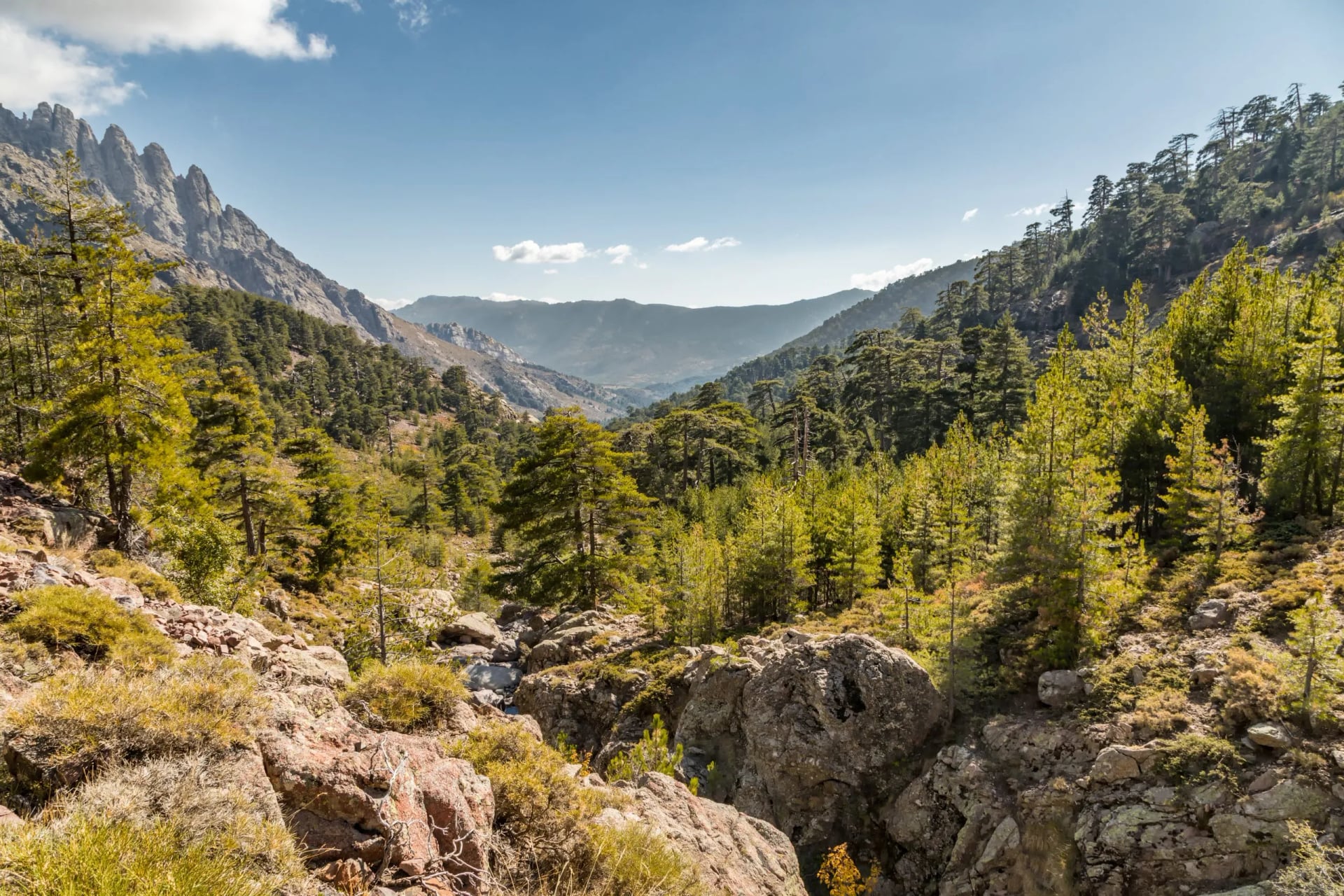
If you can only do one half, the North GR20 rewards the most technically confident hikers. The South GR20 is a strong choice for anyone newer to multi-day alpine trekking who still wants a genuine challenge.
Variants and access points
Several high-level variants depart from the main GR20 route to bag additional summits.
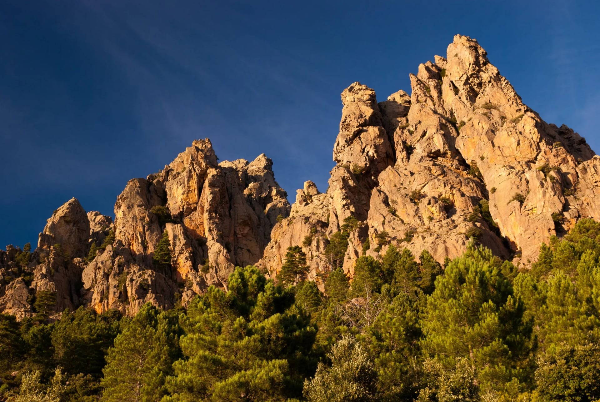
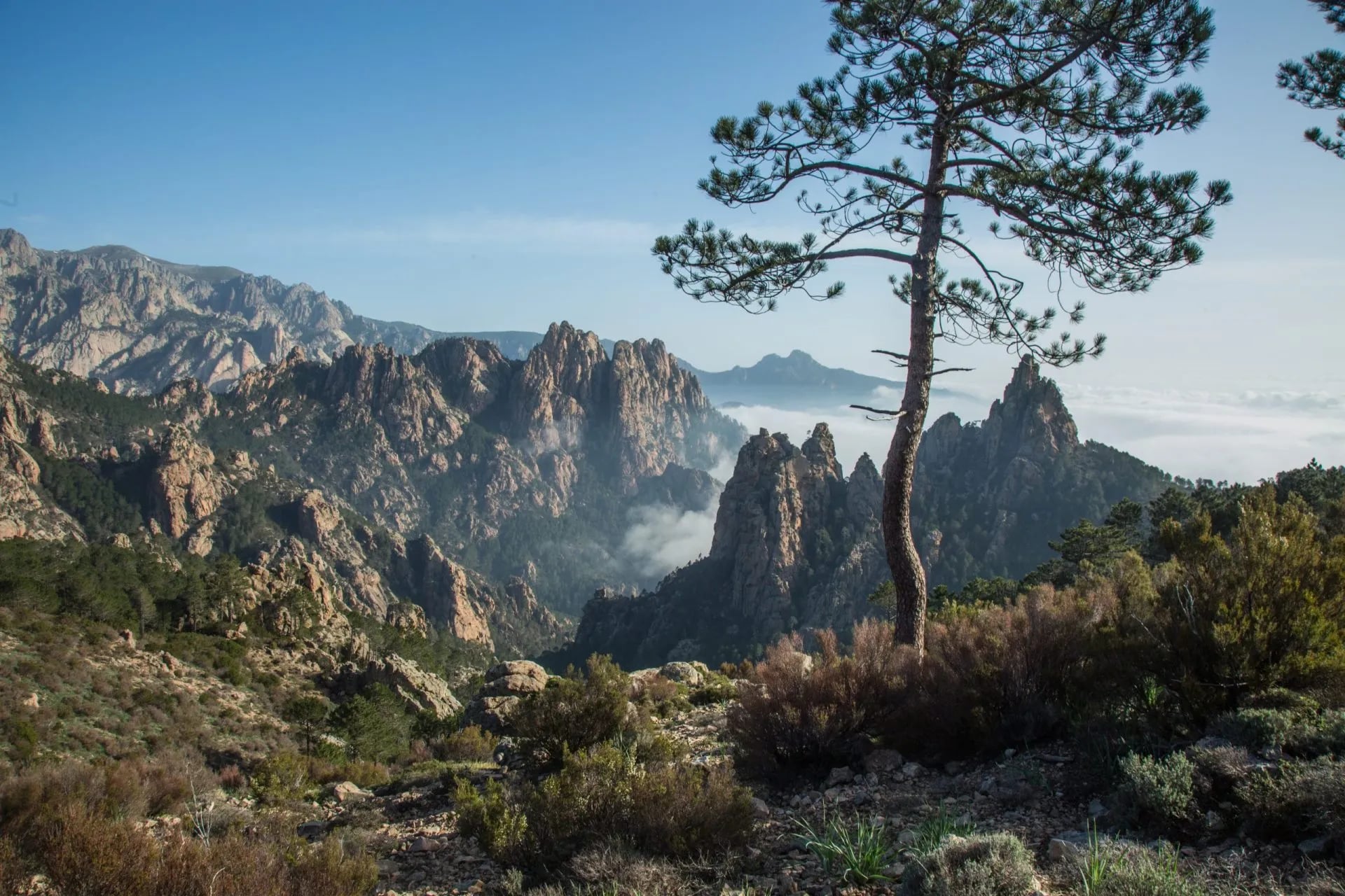
Monte Renoso (accessible from the Stage 10/11 Capannelle area), Monte d'Oro (Stage 9), and the Bavella Alpine Variant on Stage 14, threading between the dramatic red granite needles of the Aiguilles de Bavella, is one of the most visually arresting sections on the whole trail.
If you need to leave the route, the main bail-out points with road access are Asco (after Stage 3), Castel di Vergio (passed at the start of Stage 6, with road access via the D84), Vizzavona (the midpoint, with a train station connecting to Ajaccio and Bastia), Col de Verde (at the end of Stage 11) and Col de Bavella (at the end of Stage 14).
Vizzavona is by far the most convenient exit, it also sits at the natural halfway point, making it the ideal place to split the route if you're tackling north or south alone.
Why hike the GR20?
The honest answer is that the GR20 is hard to explain until you've done it.
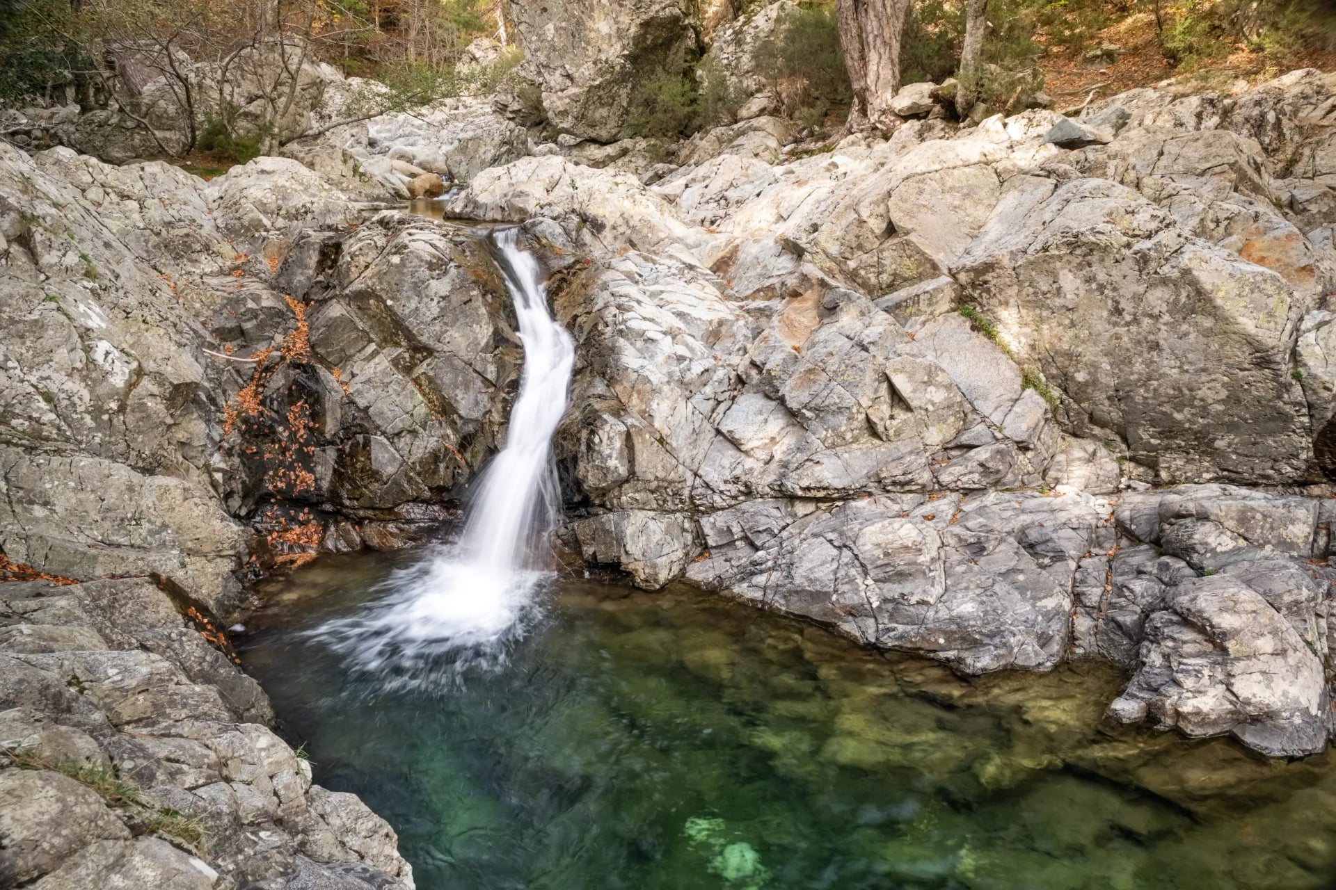
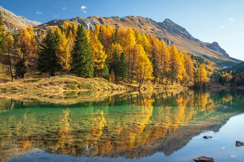
The landscape shifts constantly. Sheer granite ridges, boulder fields, hidden mountain lakes, ancient pine forests, river gorges, and the occasional shepherd's bergerie with smoke coming from the chimney.

The Mediterranean climate means blazing heat in the valleys and genuine cold at altitude. Corsica smells of maquis scrub, wild herbs, sun-warmed rock, salt air when the wind turns coastal.
More than the landscape, it's the sustained nature of the challenge. Fourteen or fifteen consecutive days of tough mountain terrain, day after day, is a different experience from a single hard day out. You adapt. Your pace changes. You start reading the weather and the terrain differently.
By the time you walk into Conca, you will have climbed roughly two and a half times the height of Mont Blanc from sea level.
It turns hikers into storytellers.
What makes the GR20 so difficult?
The GR20's reputation is deserved, but it helps to understand exactly why it is hard.
Total distance and elevation are the primary factors. Roughly 180 km with 12,000 m of ascent and the same again of descent, spread over stages that average 6–9 hours of walking. There is very little flat ground. You are either going up or going down, almost always on rough terrain.
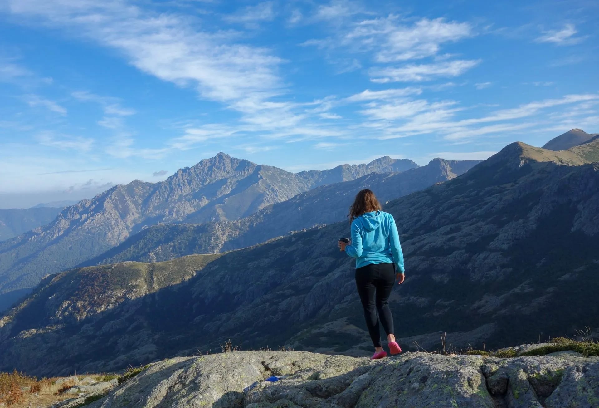
The terrain itself, particularly in the north, is technical. Much of it is bare granite: slabs, boulder fields, rocky ridges. This is not the kind of difficulty that yields to fitness alone; it requires balance, confidence and care, especially under a heavy pack.
Specific technical sections to know about:
The Spasimata Slabs (Stage 3): Steep, polished granite slabs with fixed cables to assist. They become treacherous when wet and an early start before afternoon thunderstorms is essential.
The Pointe des Éboulis (Stage 4): since the permanent closure of the Cirque de la Solitude after the fatal accident of 10 June 2015, when seven walkers were killed by a landslide, the official route climbs instead to the Pointe des Éboulis at about 2,607 m. That col is the highest point on the GR20. Monte Cinto, the island's highest summit at 2,706 m, is a further optional climb from there and is not part of the waymarked route. Expect around 1,200 m of ascent, chains on the steepest steps, and loose scree high up.
The Brèche de Capitellu (Stage 7): A high, exposed notch at 2,225 m with a steep approach across slabs. Outstanding views of two high-altitude lakes below, but demanding even in good weather.
The descent into Vizzavona (Stage 9): Thousands of metres of elevation loss on steep, stony ground. Deceptively punishing. This is one of the stages hikers most commonly cite as harder than expected.
All of this happens while carrying a 35–45 litre rucksack. If you have not done multi-day hiking with a full pack over technical terrain, train specifically for that before arriving in Corsica.
Best time to hike the GR20
The GR20 trail is open from roughly mid-May to early October, when the mountain refuges are staffed. Outside this window the huts are unstaffed, food and water are not supplied, and snow may block the high northern stages.
June is arguably the best month for solitude and mild temperatures. The main risk is lingering snow on the northern ridges. In early June this can be significant, and some hikers tackle the route south-to-north specifically to allow the north to clear while they walk south first. Weather is generally stable, crowds are lighter, and the landscape is still green.
July and August are peak months. The GR20 refuges fill up quickly. Booking months in advance is essential and temperatures in the lower sections can climb above 35°C by midday. Starting before 7am is essential. The tradeoff is settled weather and long daylight hours.
September brings cooler temperatures, fewer people and more room at the refuges. The main risk is afternoon thunderstorms, which can be violent and arrive quickly at altitude. September rewards those who watch the forecast carefully, build in flexibility, and are off exposed ridges by early afternoon.
Day-to-day weather
Regardless of month, the GR20 is mountain terrain and its weather is unpredictable.
A clear morning can turn into a storm by 2pm. The refuge guardians are the best source of local forecast information. They know the terrain, they know the patterns, and they will tell you straight whether tomorrow's planned stage is safe. Our guide to extreme weather on the trail covers what to do when it turns while you are out.
For the forecast itself, Météo-France publishes a mountain bulletin for Corsica, which is the one to use rather than a general island forecast. Read it the evening before, then ask the guardian what they make of it.
Never set out onto exposed ridgelines in a storm. Lightning at altitude is not a theoretical risk. Spending an extra night at a refuge is always the right call.
Is the GR20 safe?
The GR20 is technical, but manageable for hikers with the right experience and preparation. The GR20 trail is well-marked with red and white blazes throughout, and the fixed cables and chains on the most exposed sections mean you are never entirely without assistance.
There are no points requiring ropes or specialist climbing equipment.
The main risks are weather-related and self-inflicted: overconfidence, poor timing and inadequate gear. Flexibility with your itinerary is a genuine safety measure. Our mountain safety guide sets out the basics worth having straight before you start.
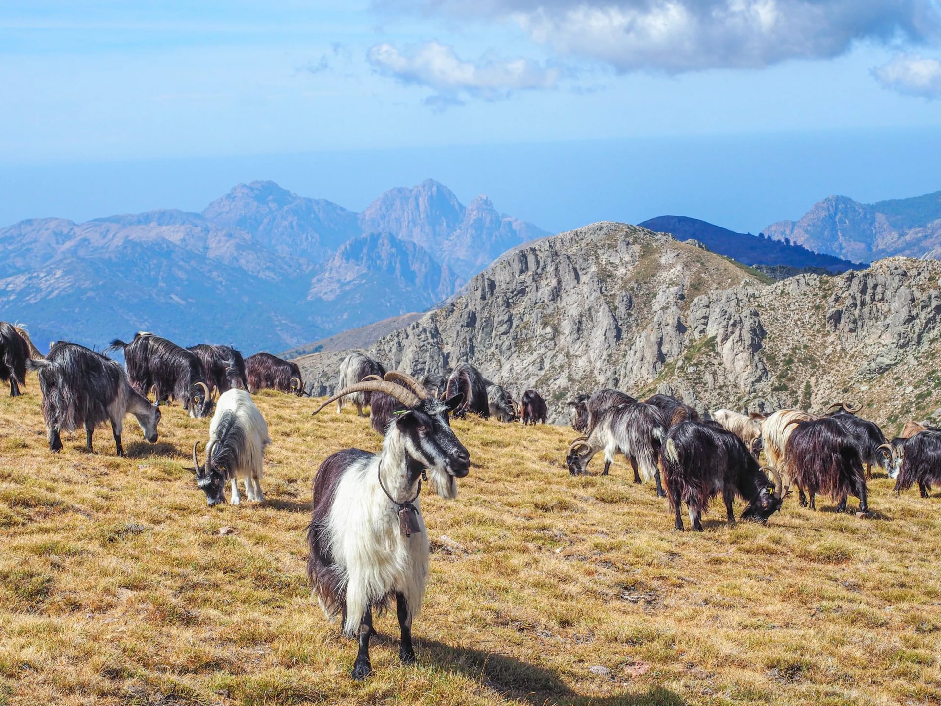
Corsica has no dangerous wildlife. You will encounter Corsican goats, semi-wild horses and possibly mouflon. They will cause you no trouble.
Carry a detailed GR20 map at all times. A compass and the ability to use both remain worthwhile even in the age of GPS.
Know the emergency number: 112. Consider a personal locator beacon on the more isolated northern stages.
Sleeping on the GR20: refuges, gîtes and camping
GR20 refuges
Most overnight stops on the GR20 are managed by the Parc naturel régional de Corse. There are 15 park refuges spaced along the route and booking is now mandatory: you cannot turn up and hope for a bed. Reservations are paid in full to be confirmed, which means the whole itinerary is fixed before you fly, and that sits awkwardly with the advice to wait out bad weather. Build in a spare day rather than assuming you can improvise one.

Each refuge offers a choice of sleeping options:
Dormitory bunk: the most common choice. Bring your own sleeping bag or liner, these are not provided.
Rented tent (pitched near the refuge, tent provided): slightly pricier than a bunk, good option if you prefer more privacy.
Personal tent pitch (your own tent, on designated ground near the refuge): the cheapest option, and the only one that doesn't require booking in advance.
If you're booking through a tour operator, all refuge reservations are handled for you as part of the package, which removes one of the more stressful elements of planning the GR20 independently.
Wild camping is not permitted anywhere on the GR20. The trail runs through the Corsican natural park and camping off the designated areas around refuges is prohibited.
Facilities at PNRC refuges are deliberately basic: communal sleeping, outdoor showers (usually cold), composting toilets, limited charging points and sometimes a small communal cooking area. The experience is simple but sociable.
A practical note: the Refuge d'Ortu di u Piobbu (Stage 1's end point) burned down in 2019. A replacement structure has been built, but facilities remain more basic than most other refuges on the route. Verify current conditions before your trip.
Gîtes and bergeries
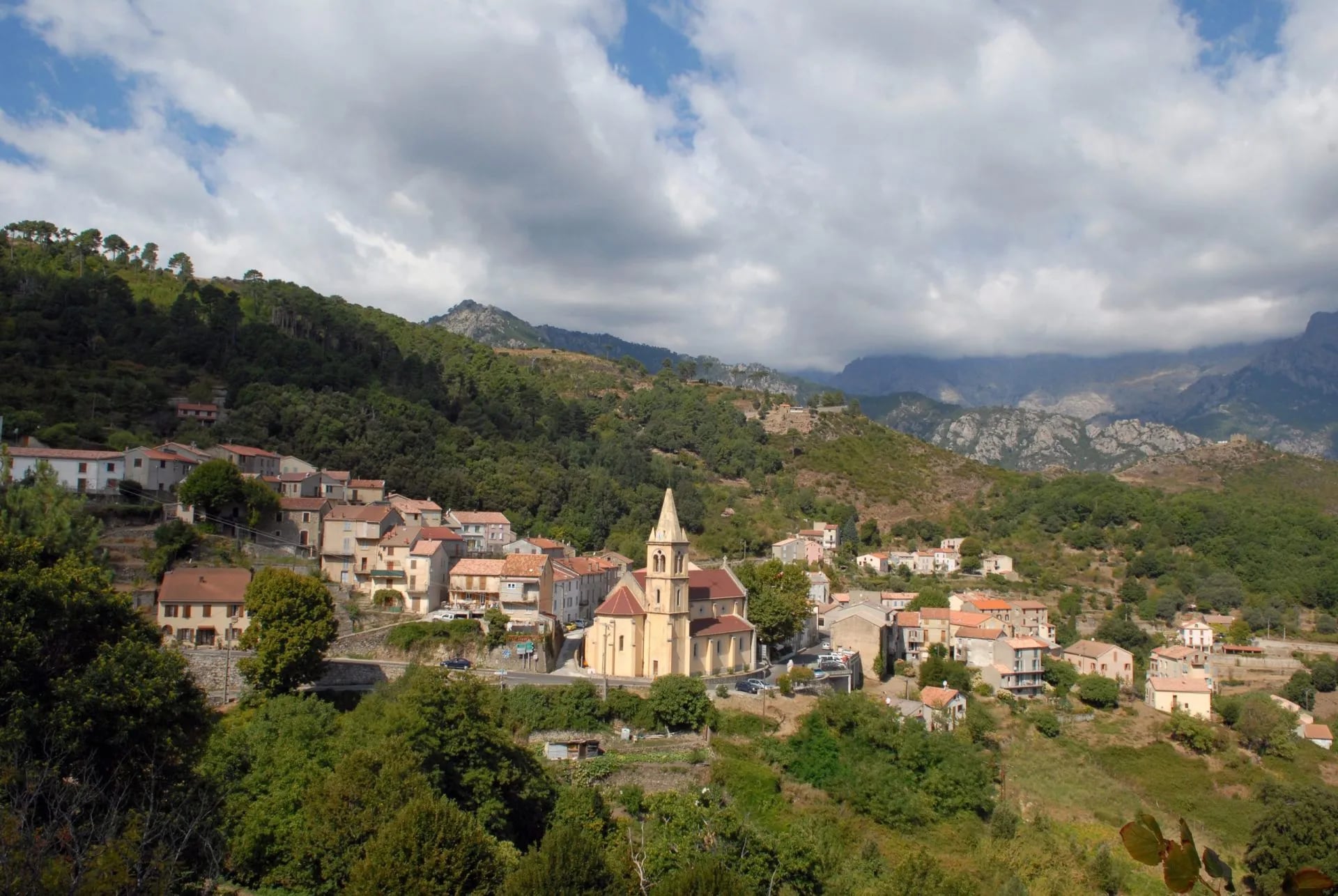
At several stages, Vizzavona, Ascu Stagnu and Col de Bavella in particular, there are private gîtes, small hotels or shepherd's bergeries offering slightly more comfort, sometimes with private rooms.
These are not part of the mandatory PNRC booking system, but popular ones fill up fast in July and August.
Food and water on the trail
There is no need to pack two weeks of food. From June to September, all PNRC refuges offer pre-arranged meals, which means you carry snacks and lunch supplies.
Breakfast is prepared in advance to accommodate early departures: bread, jam, cheese, coffee. If you plan to leave at dawn, which you should on the longer stages, let the guardian know the evening before.
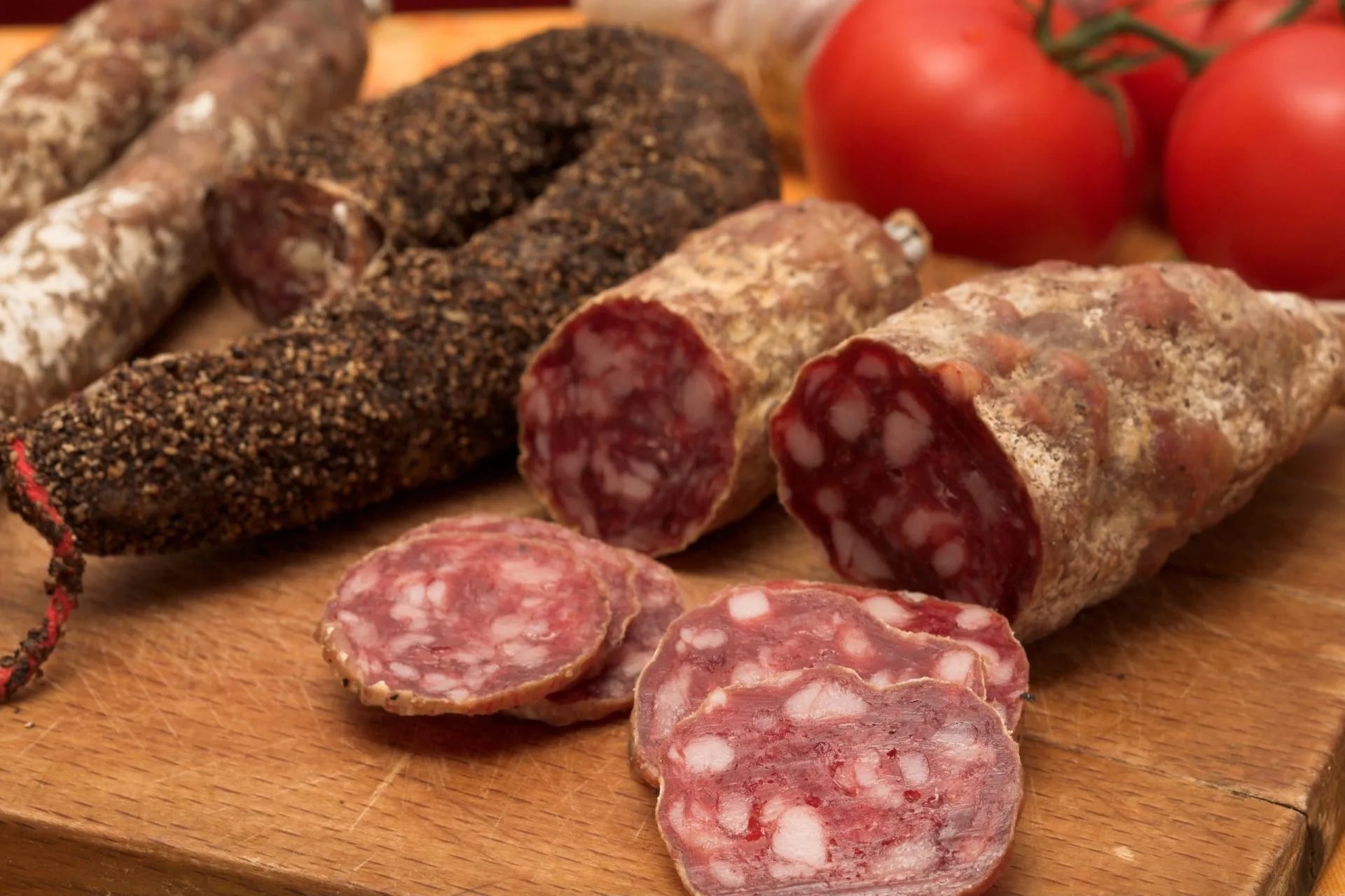
Lunch is served between 12:00 and 14:00. Most refuges offer simple, filling options: omelettes, pasta, charcuterie boards, soup. It is not a restaurant menu, but it is fuel.
Dinner is the social event of the GR20 day. A three-course set menu, usually served in two sittings starting at 19h00. Reserve your place when you arrive in the afternoon, do not assume a seat will be available if you wait until after your shower. Refuge dining rooms fill quickly in peak season, and the warden will not hold a place you have not booked.
A few refuges have communal kitchens with basic supplies for self-catering hikers. For the stretches between refuges, carry your own snacks: energy bars, dried fruit, nuts and hard cheese all pack well and survive the heat.
Water is straightforward but worth planning. Every refuge has a freshwater spring nearby. You will also pass natural springs and streams along the trail, but do not rely on them as your primary source, as some run dry in late July and August. Never drink directly from rivers.
Carry water purification tablets as a backup, and aim to leave each refuge with enough water to last the day. One to two litres is the minimum; more on the exposed northern stages in warm weather.
How long does the GR20 take?
The standard pace is 15 stages over 15 walking days on our itinerary, with most hikers taking one buffer day somewhere in the middle (Vizzavona being the natural choice). This is the recommended approach for a first traverse.
Fitter hikers regularly complete it in 12–13 days by combining shorter stages. Doing it in 8 days (two stages per day) is achievable but leaves very little margin for weather delays or recovery.
There is no minimum, but rushing the GR20 is consistently cited by those who've done it as their one regret.
How to prepare for the GR20
Training timeline
Begin structured preparation at least 8–12 weeks before departure. Three months is better.
Cardiovascular base (throughout): Run, cycle or swim three times a week, 45–60 minutes per session. Cycling is particularly effective. It builds leg strength with lower injury risk than running.
Loaded hiking (from week 4 onwards): This is where most training plans fall short. The hardest sections of the GR20 trail are the sustained descents. Thousands of metres of elevation loss on rocky, uneven ground, day after day. Your knees will take a beating that no amount of running prepares you for. Train on steep downhills with a loaded rucksack (start at 10 kg, build towards your actual trail weight of 12–15 kg). Our guide on how to train for hiking sets out a fuller programme.
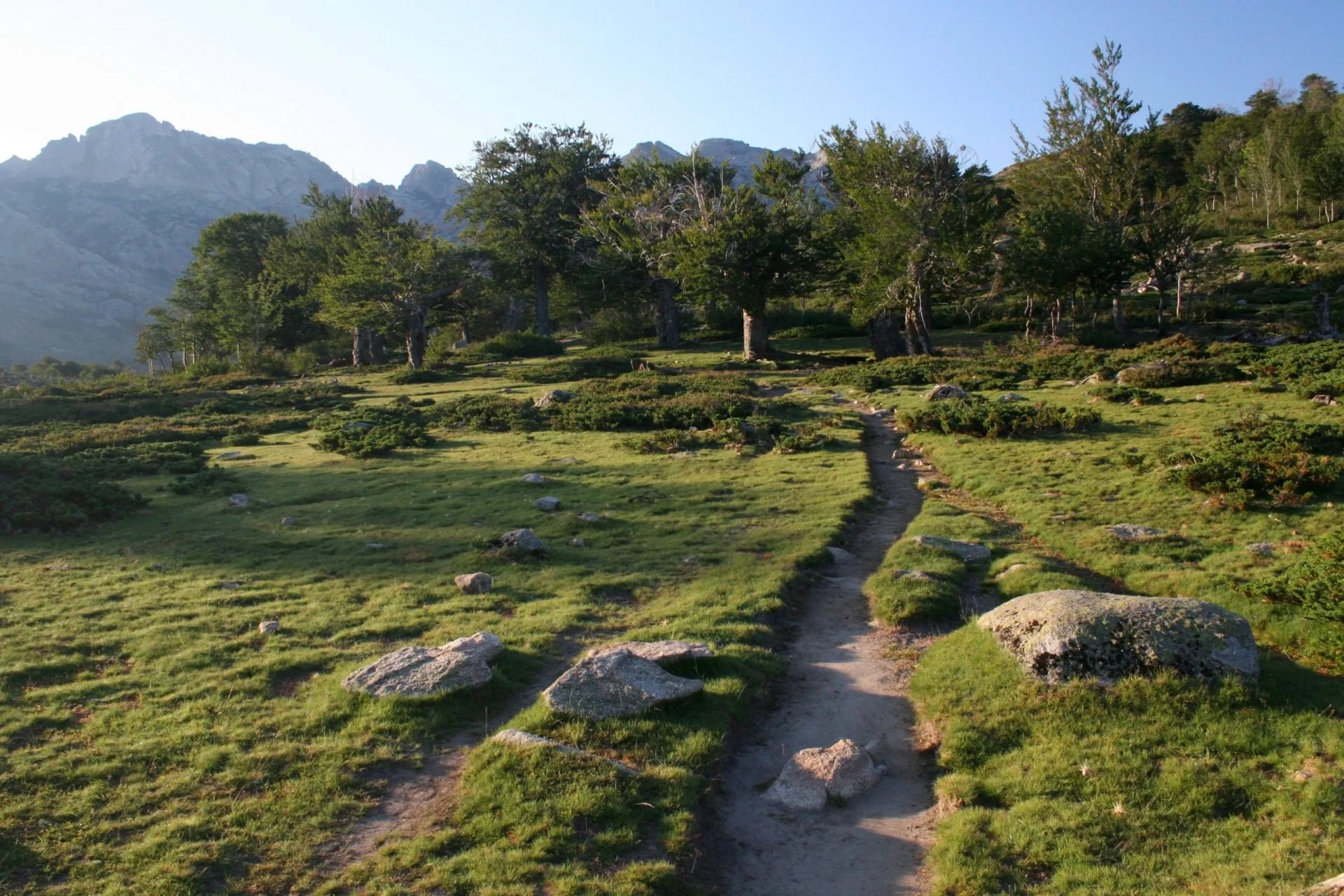
Multi-day back-to-back hiking: Do at least one two-day hiking weekend before the GR20. The cumulative fatigue of consecutive mountain days is qualitatively different from a single big day out.
Technical scrambling: Include at least one hike that involves rocky terrain requiring hands and feet. Something that makes you think about balance and body position under a pack.
Break in your boots completely. Test your sleeping bag, waterproofs, hydration system and pack fit on training days. Discovering a broken hip belt buckle on Stage 3 is not an experience you want.
What to pack
Target a pack weight of 10–12 kg including food and water. Every extra kilogram is real on the seventh hour of Stage 4.
Essential equipment
Hiking boots or trail shoes with a firm, grippy sole. Avoid anything with a smooth rubber sole on granite slabs
Quality hiking socks, at least three pairs (wool or synthetic blend)
Lightweight wicking T-shirts and shorts for hiking
Waterproof jacket (not a lightweight wind shell)
Warm fleece or down jacket (temperatures at altitude can drop below 5°C even in summer)
Thermal hat and lightweight gloves
Sun hat, high-factor sunscreen, quality sunglasses
Hydration system: minimum 2-litre capacity; 3 litres recommended for hot weather and long stages
Headlamp with spare batteries
Trekking poles (particularly valuable on the long descents)
First aid kit including blister care, ibuprofen and personal medication
Sleeping bag
Compact travel towel
Water purification tablets
Penknife or spork
Powerbank
Cash for the whole trail: there are no ATMs on the GR20, and most refuges do not take cards
GR20 maps
Recommended extras
Earplugs, dormitory snoring is universal
Zip-lock bags for electronics and documents
Swimwear as several stages pass mountain lakes worth stopping at
Gaiters for early-season snow
How to get to the trail
Getting to Corsica
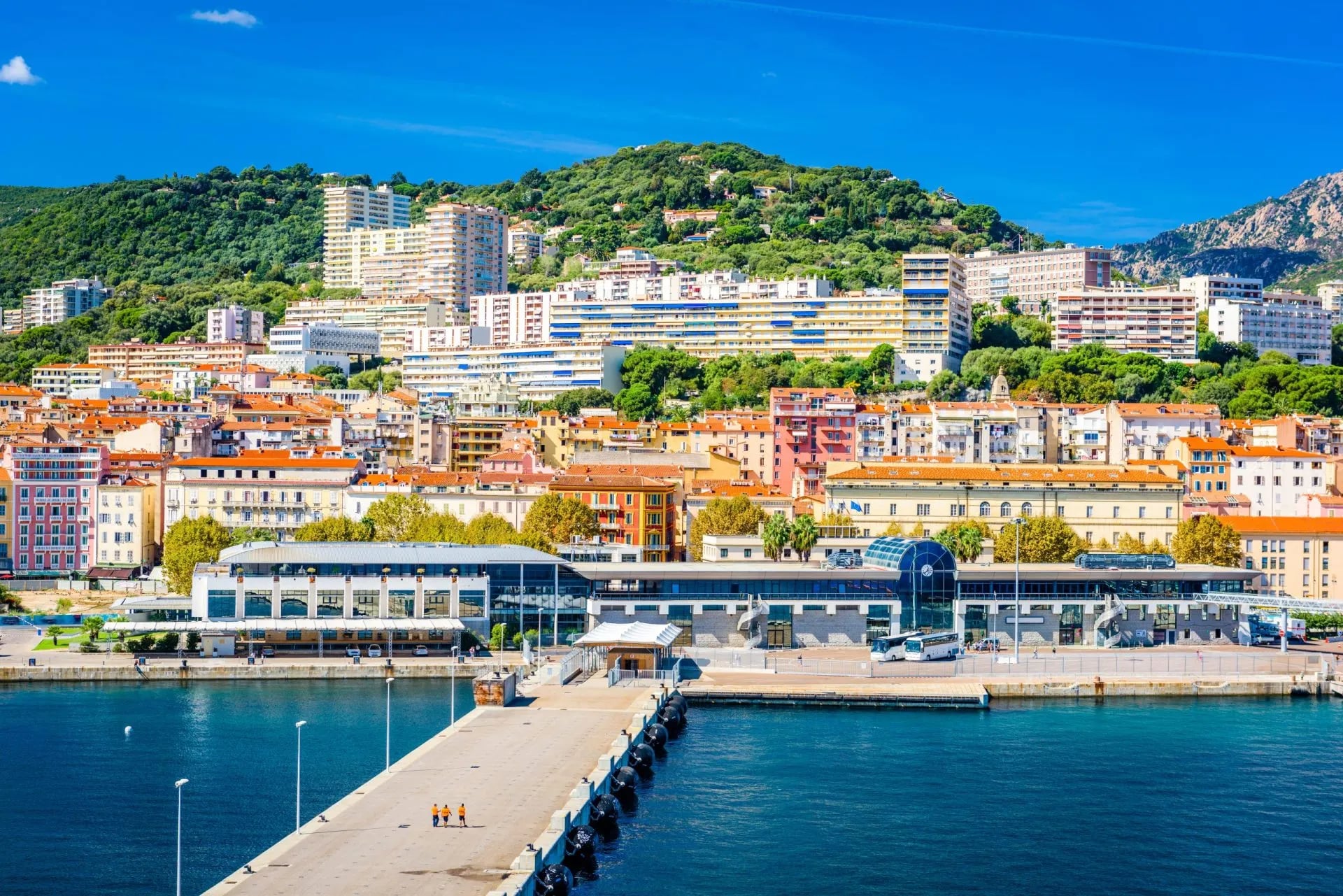
Corsica is accessible by air and sea. The main airports are Bastia and Calvi in the north, and Ajaccio and Figari in the south. Direct flights operate from Paris, Lyon, Nice, Marseille and several other European cities in season.
Ferry services connect Corsica to Nice, Marseille, Toulon and Genova (Italy). Corsica Ferries and La Méridionale are the main operators. Crossings take roughly 4–6 hours from Nice and up to 12 hours overnight from Marseille. Corsica Ferries also runs a seasonal direct service to Calvi from mainland ports.
Getting to the northern trailhead (Calenzana)
Calenzana is 14 km from Calvi. Options:
Bus: A seasonal shuttle runs from Calvi railway station to Calenzana (approximately 30 minutes). Confirm times with the Calvi tourist office before travel, as schedules change each season.
Taxi: From Calvi airport or train station. Book in advance in peak season.
Train to Calvi: From Bastia or Ajaccio via Île Rousse.
Staying the night in Calenzana before starting is strongly recommended over attempting to begin Stage 1 on the same day as flying in.
Getting away from the southern trailhead (Conca)
Conca is approximately 6 km from Sainte-Lucie de Porto-Vecchio.
Shuttle: Seasonal shuttle services run from Conca to Sainte-Lucie and onwards to Porto Vecchio. Ask at the I Paliri refuge the day before for current schedules.
Bus: Services operate between Porto Vecchio and Bastia via Sainte-Lucie.
Taxi: Available to Porto Vecchio and nearby airports (Figari is closest at roughly 40 km).
Book your return transport well before arriving in Conca. Leaving it to the last day is risky in August.
Frequently Asked Questions
Two weeks on Corsica's spine
The GR20 is not a trail you drift into. It rewards preparation, honest fitness and a willingness to be uncomfortable.
The granite ridges, the long descents, the refuge evenings, the moment you walk into Conca: none of it belongs to anyone who hasn't earned it.
If you're at the planning stage and want to talk through the route, timing or what level of self-sufficiency makes sense for you, get in touch, we're happy to help.

About this author
Suzana is our travel advisor and a hiker who believes the best trails aren't just about the summits. She loves spotting alpine plants, watching wildlife, and the laughs, chats, and snack breaks that make every trail worth walking.













.jpg&w=828&q=75)













































.jpg&w=828&q=75)






















