Hiking in Sweden: Midnight Sun, Reindeer and Arctic Huts
Hiking in Sweden means a week of Arctic huts on the Kungsleden from mid-June to mid-September, or Skåne coast trails from April with a hotel every night.

Jon
Published August 20, 2026
Edited October 12, 2026
19 min read
Quick links
Don't want to read all this?
We've planned 2,000+ hiking trips. Send your dates, fitness and group size — we'll map the route and book every night.



Sweden sells itself as one hiking country and works as two. North of the Arctic Circle the ground is treeless fjäll, the huts have no electricity and the walking season runs about twelve weeks. Down in Skåne you walk between beech woods and fishing harbours from April to October, sleeping in a hotel every night.
Picking the wrong half for your dates and fitness is the most common Swedish planning mistake. This guide starts with the trails worth the flight, then what the walking feels like underfoot. Our Sweden hiking tours cover both halves.
Arctic North or Southern Sweden
Sweden hiking trails fall into two systems that share almost nothing: the Arctic fjäll and the southern coast paths.
Swedish Lapland and the Fjäll
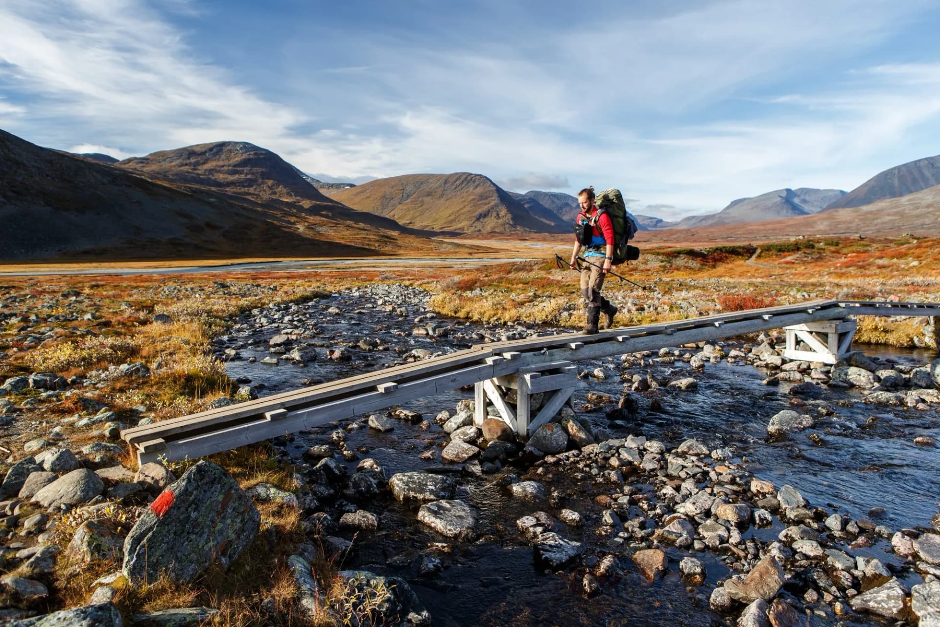
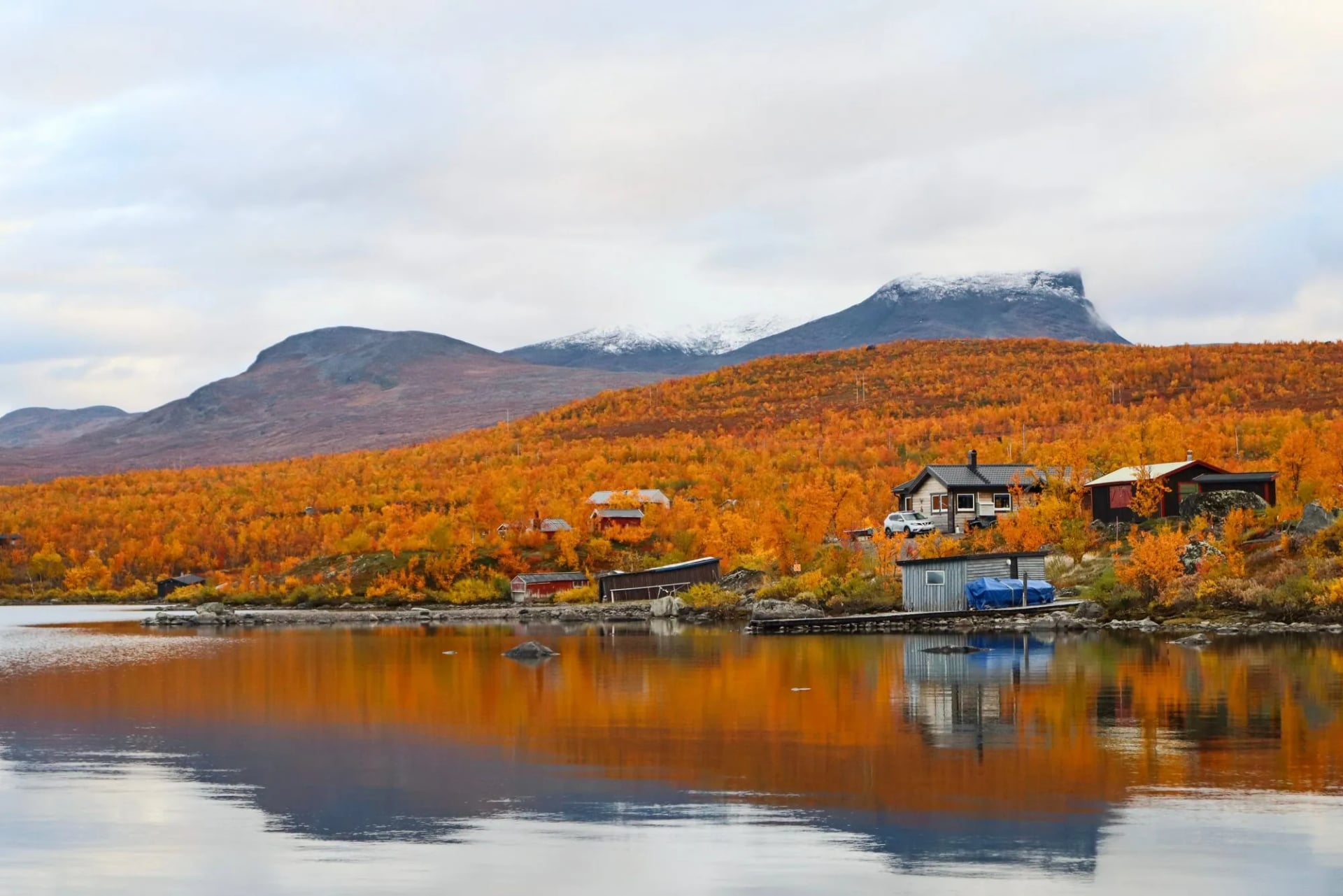
Abisko sits at 68 degrees north in a rain shadow that keeps its skies unusually clear, and the Kungsleden starts at the station door. South of it lies the Kebnekaise massif and the heart of Sweden's Arctic walking.
This is also Sápmi, a working reindeer landscape, and part of it is the Laponia World Heritage Site. Shelter is spaced in hours rather than kilometres.
Skåne and the Far South
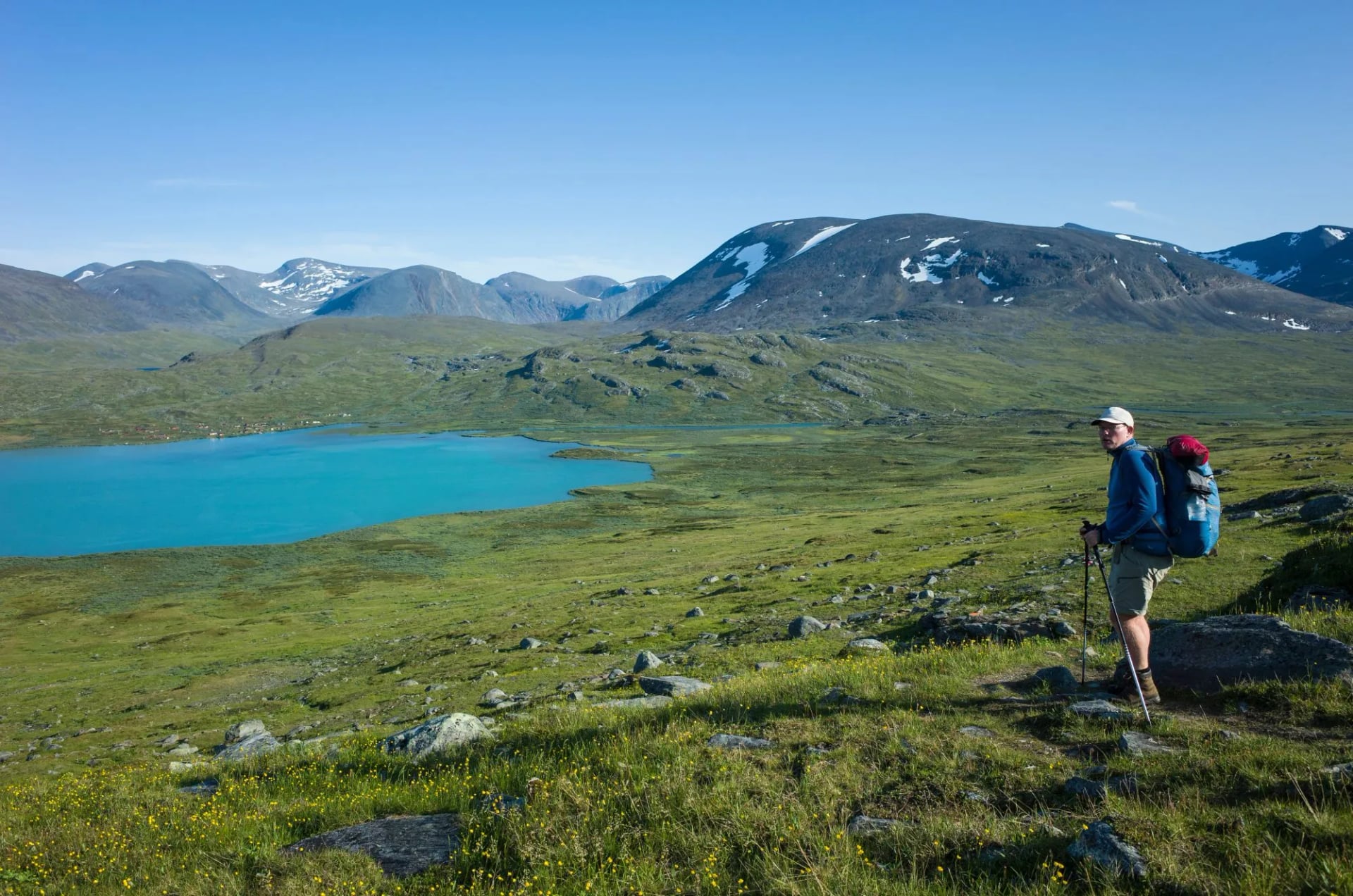
Skåne is where Sweden stops feeling Nordic. The Skåneleden network runs to well over 1,000 kilometres of orange-marked trails through beech forest, apple country, dunes and chalk headland.
Two of our four Swedish trips are here and a third runs out of Gothenburg, which is deliberate. It is the most reliable multi-day walking in the country for anyone who does not want to carry a week of food.
The season is the other reason. Skåne walks from April, when the beech comes into leaf, through the apple blossom in May to swimmable sea in July and quiet trails in September.
West and Central Sweden
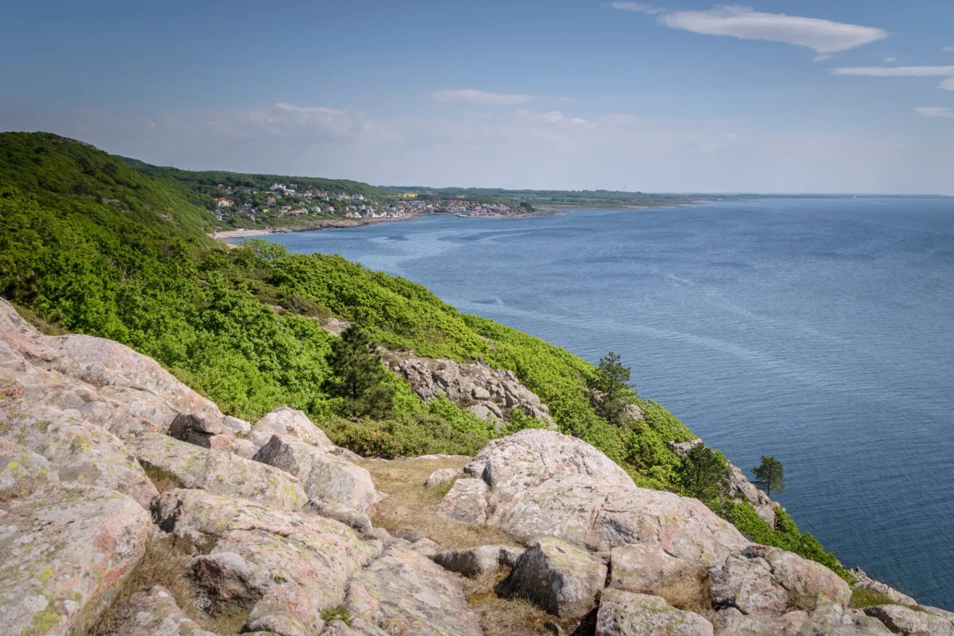
The Gotaleden runs 71 kilometres from central Gothenburg to Alingsås with a railway beside it. Further north the High Coast Trail covers about 135 kilometres of sea cliff and forested hill, climbing from sea level again and again.
The High Coast is the more serious of the two and the reason is underfoot. The land has risen about 285 metres since the ice left, the largest rebound known anywhere on earth and still coming up at roughly 8 millimetres a year. That is why the coast became a UNESCO World Heritage Site in 2000, and why the trail keeps hauling back out of the sea.
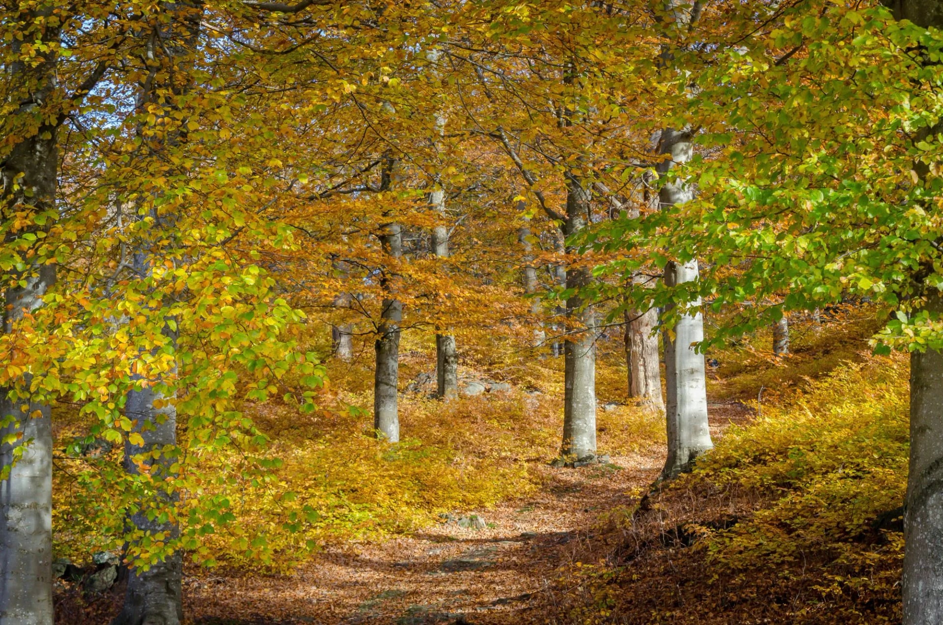
The Gotaleden walks from April to October and the High Coast, lying a long way further north, holds the shorter season of the two. Between them this is the part of Sweden for forest, lake and coast in one week without going Arctic for it.
Kungsleden: Sweden's Arctic Trail
Distance: 12 to 21 km a day, about 107 km walked
Ascent: 150 to 520 m a day
Sleeping: six nights in self-service mountain huts where you cook for yourself, two hotel nights with breakfast
Season: June to September
Grade: fitness 3, technical 3
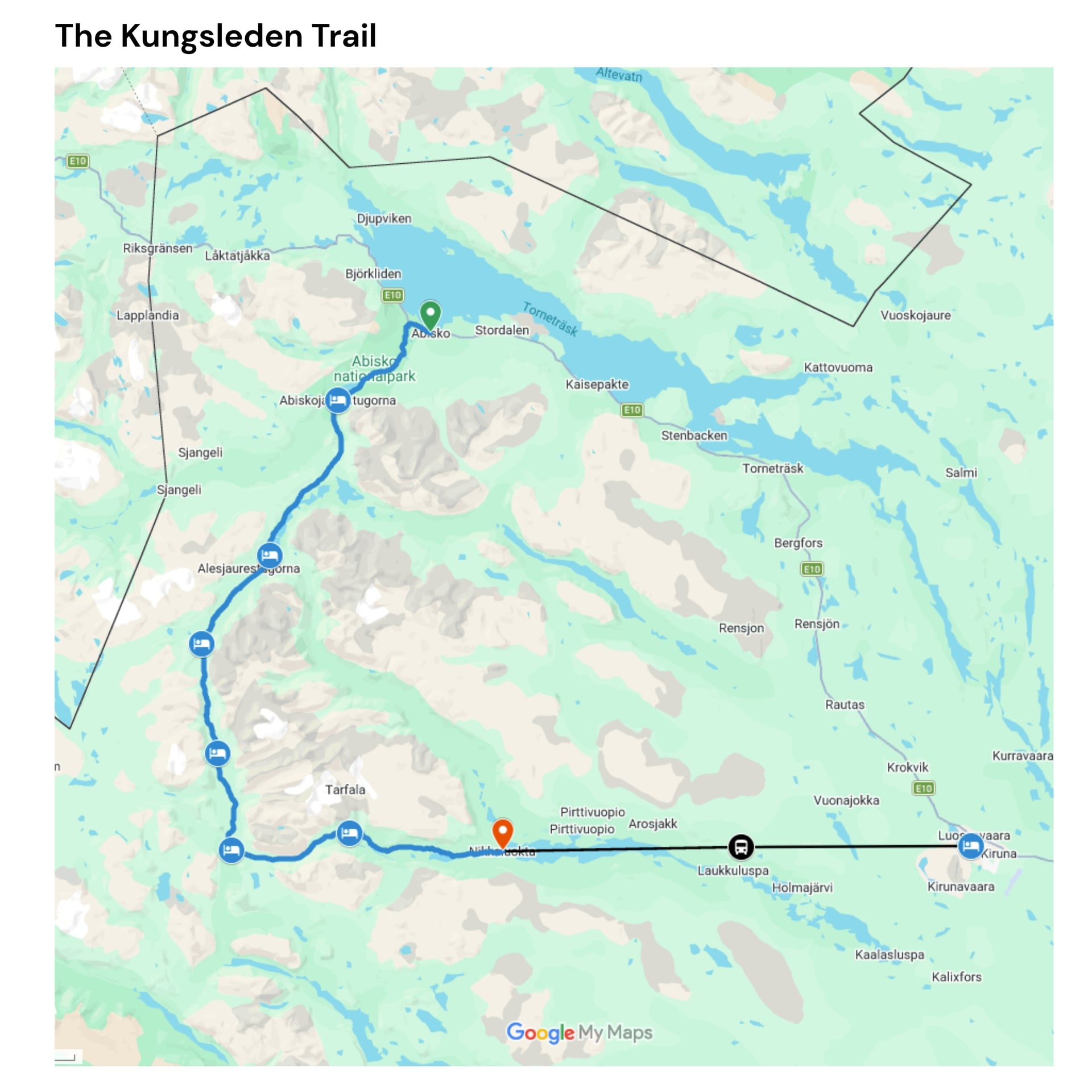
The full King's Trail runs just over 450 kilometres from Abisko to Hemavan and takes about a month. Almost nobody does that. The northern section to Nikkaluokta holds the best of it in about 107 kilometres, and that is the week people mean.
The Swedish Tourist Association keeps 16 huts along the trail, spaced 10 to 20 kilometres apart, which is why the northern week can be walked without a tent. The northern week uses Abiskojaure, Alesjaure, Tjäktja, Sälka and Singi. Further south, between Kvikkjokk and Ammarnäs, there are none for roughly 130 kilometres.
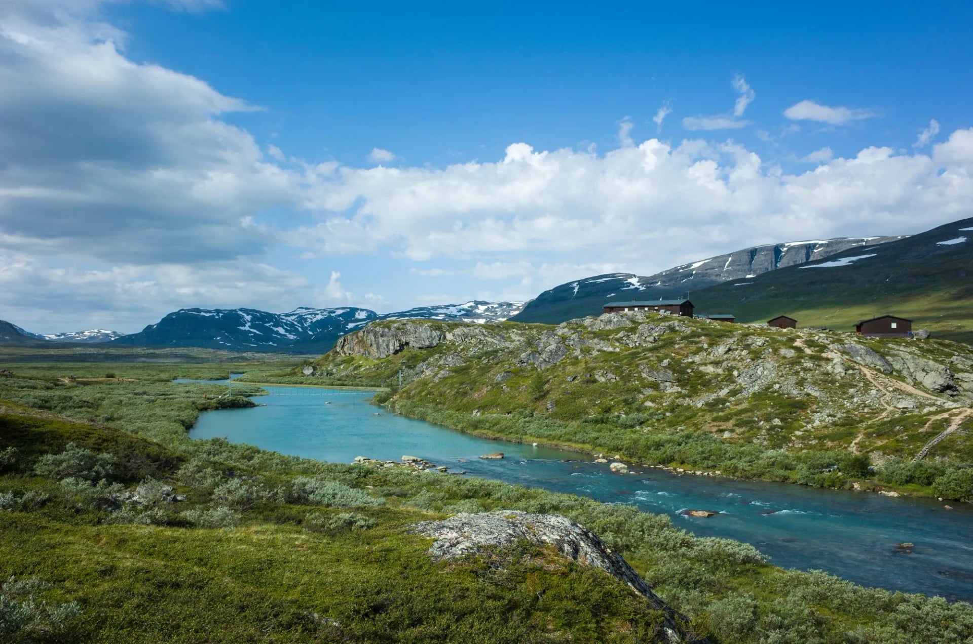
Kungsleden Stages
On a Kungsleden trail map the northern week reads as a single diagonal line, running south east from Abisko to Nikkaluokta inside the Arctic Circle. Abisko sits on the south shore of Torneträsk, about 95 kilometres north west of Kiruna and close enough to Norway that the same railway carries on to Narvik.
From the lake the route climbs through Abisko National Park and follows one long glacial corridor, the Tjäktjavagge, down to Nikkaluokta, roughly 66 kilometres west of Kiruna by road. Everything between them is roadless.
Day 2: Abisko to Abiskojaure, 16 km, 220 m up, 110 m down
Day 3: Abiskojaure to Alesjaure, 21 km, 520 m up, 220 m down
Day 4: Alesjaure to Tjäktja, 13 km, 380 m up, 160 m down
Day 5: Tjäktja to Sälka, 12.5 km, 200 m up, 370 m down
Day 6: Sälka to Singi, 12 km, 150 m up, 260 m down
Day 7: Singi to Kebnekaise, 14.5 km, 300 m up, 330 m down
Day 8: Kebnekaise to Nikkaluokta, 18.5 km, 200 m up, 400 m down
The high point is the Tjäktja pass at about 1,150 metres, a broad stony saddle with an emergency shelter on top. It holds snow patches into July and offers nothing to hide behind in bad weather, which is why the crossing is the day to keep flexible.
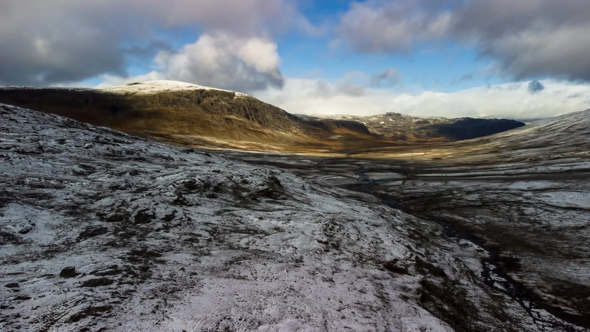
Two summer boat services cut corners off the walk: one at Alesjaure that saves about four kilometres, and one across Ladtjojaure on the last day that saves about six. Both are weather dependent, and the lower jetty has a Sámi tent selling coffee.
Kebnekaise
Sweden's highest point is the ice-free north peak of Kebnekaise at 2,096.8 metres, and it took the title only in 2019. The glacier-capped south peak was higher until then and is melting fast and now sits more than 8 metres lower.
Our Kungsleden week reaches the mountain station, not the summit. The top is a long extra day on glaciated ground, and it needs settled weather and a guide.
More of the Best Hikes in Sweden
Kullaleden
Distance: 11.5 to 22 km a day, about 72 km walked
Ascent: 25 to 640 m a day, the biggest climb of the four
Sleeping: 3 star hotels with breakfast
Season: April to October
Grade: fitness 2, technical 1
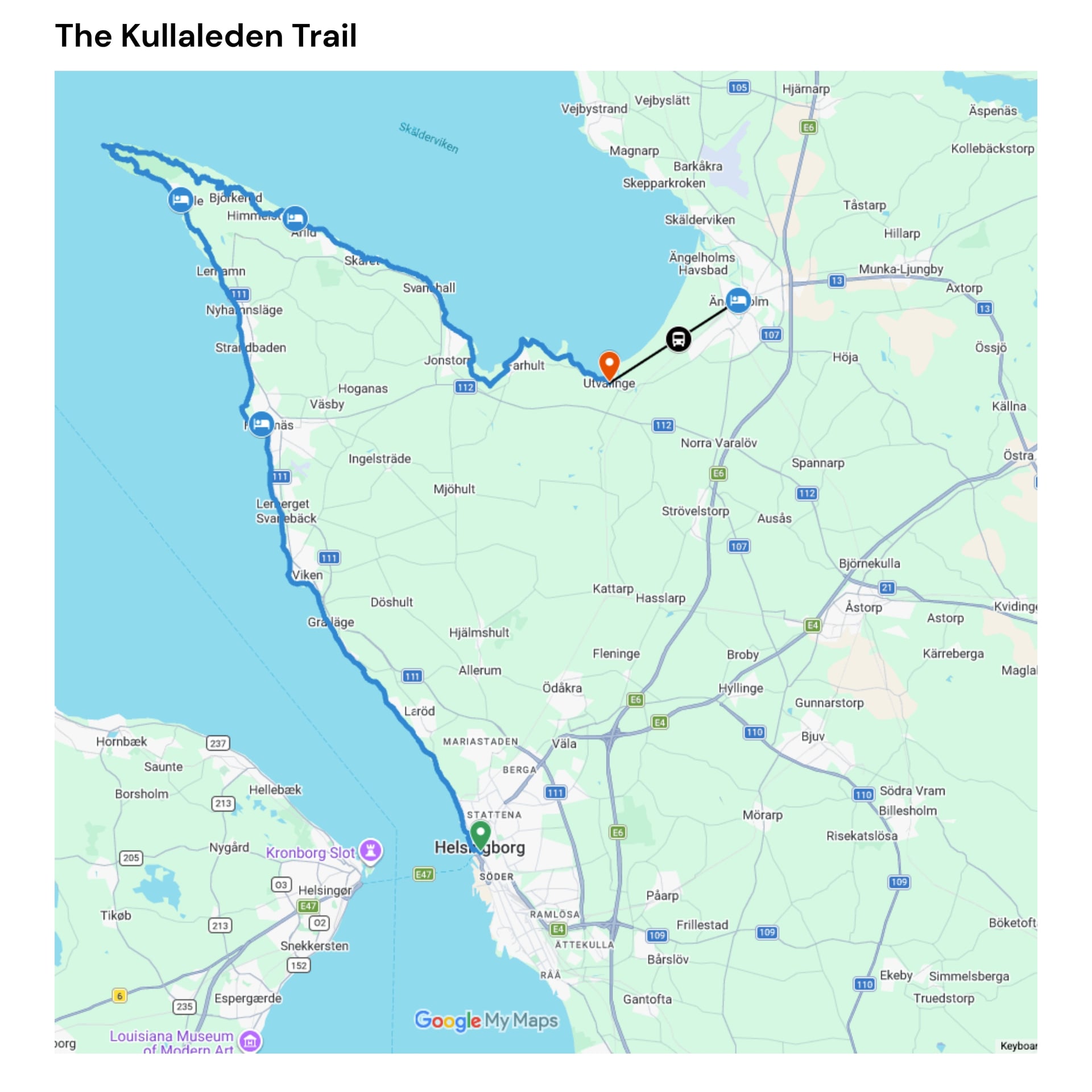
Seventy kilometres around the Kulla peninsula from Helsingborg to Utvälinge, certified as a Leading Quality Trail by the European Ramblers' Association, and walked comfortably in four days, with a train station at Helsingborg and a short bus ride to Ängelholm station from the far end.
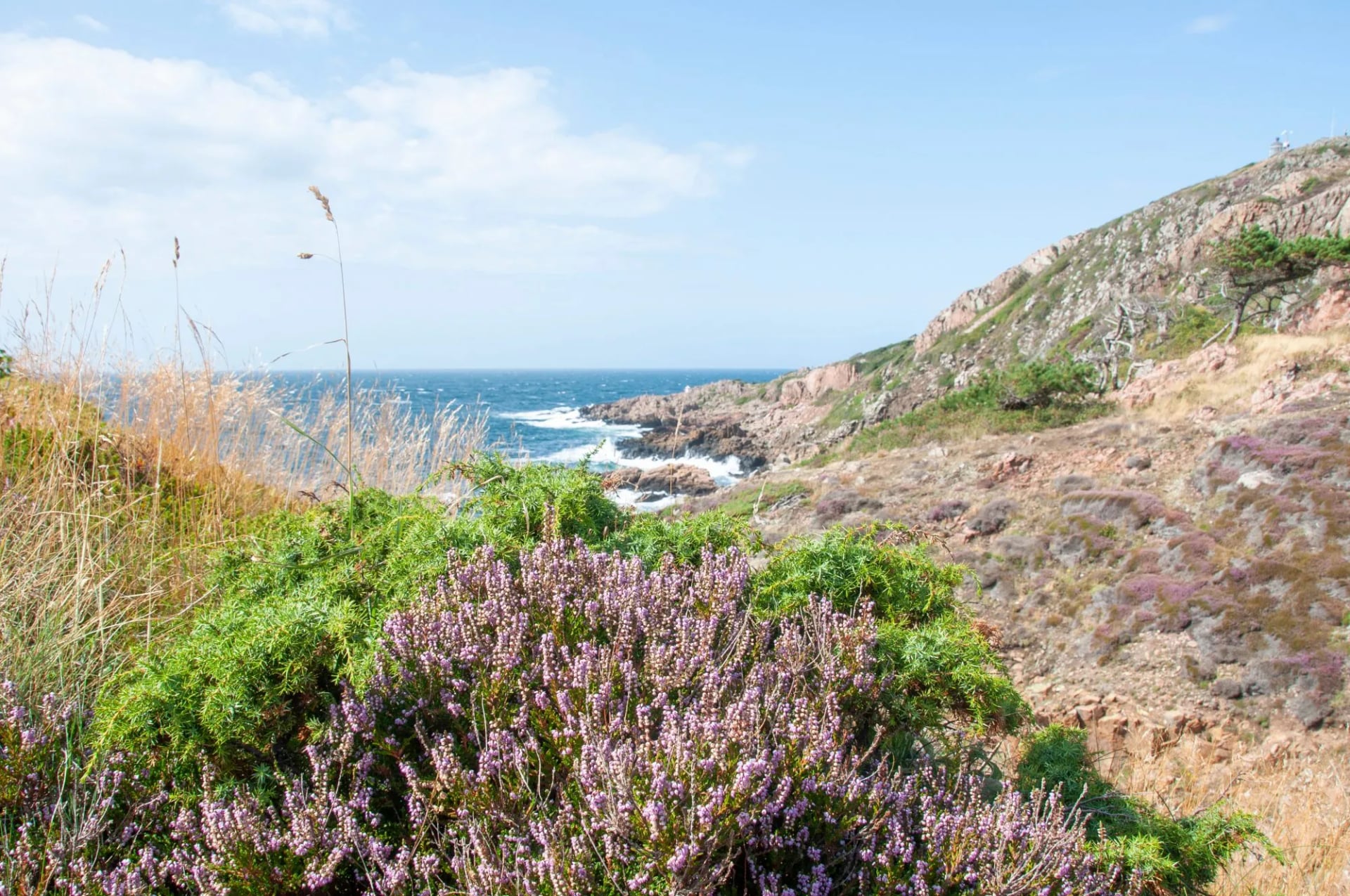
It starts on the Helsingborg waterfront below Kärnan, the 14th-century tower left from the medieval castle, and heads north through Pålsjö forest into a rhythm of woodland and shore. You pass the fishing cottages at Domsten, then the Hittarp nature reserve, where the rocky beach looks across the strait to the Danish island of Ven, and reach the cobbled harbour at Viken.
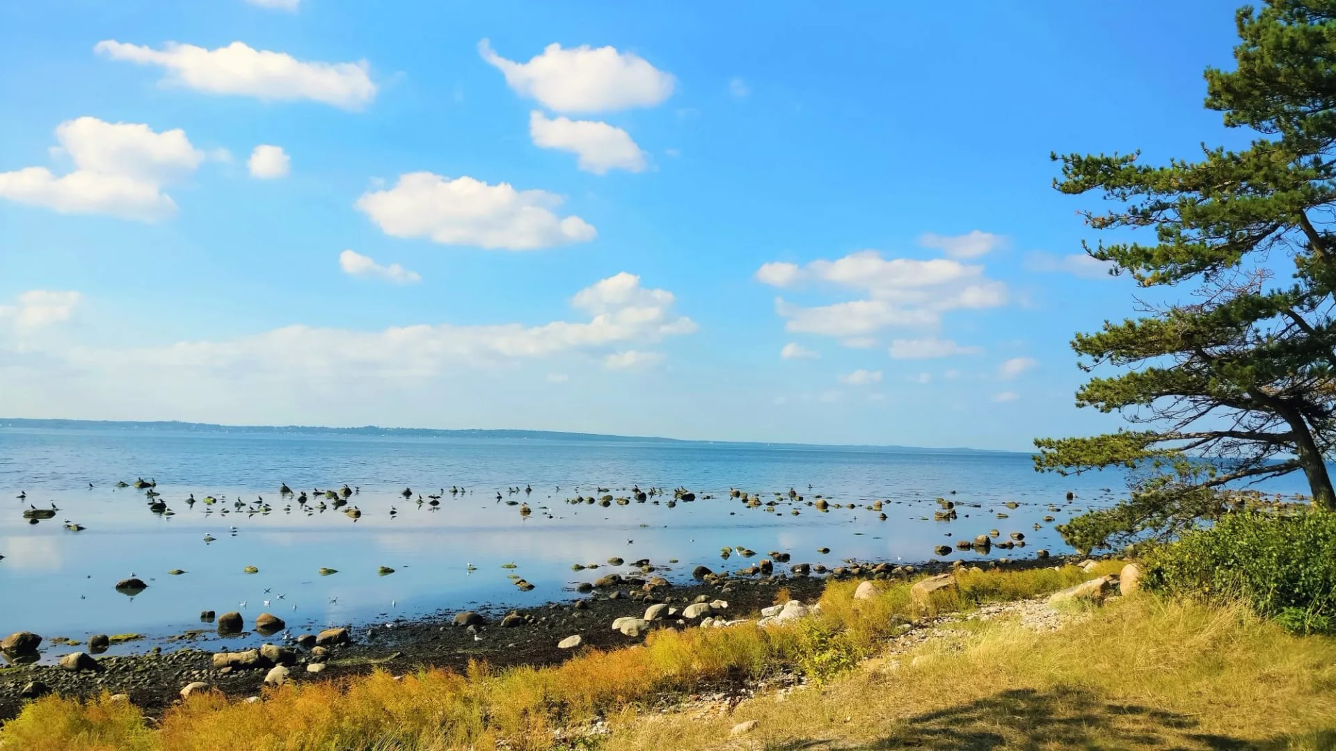
The middle is farmland and estates. The trail crosses the Kullabygden, some of the most fertile ground in Sweden, passes the fishing cottages at Lerhamn and threads the grounds of the Krapperup estate, a 16th-century castle whose gardens and park are open to walkers, before climbing the shoulder towards Mölle.
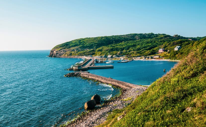
Then comes the reason people walk it. Kullaberg nature reserve is rocky outcrop and thick wood with the sea flashing below, Kullen is the highest-sited lighthouse in Sweden, and the path runs past Bronze Age burial mounds down to the sheltered bay at Arild.
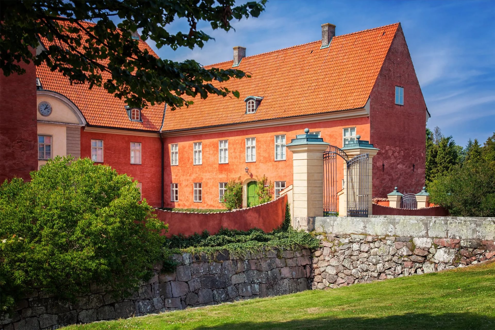
The last day leaves the cliffs for the bird reserve on the Sandön peninsula and the shore of Skälderviken bay, flattening into Utvälinge where a bus runs to Ängelholm. The climbing sits almost entirely in one day, the Kullaberg crossing, and the other three are close to level.
On the map it is a horseshoe around a peninsula in the north west corner of Skåne, the blunt headland pointing at Denmark between Helsingborg and Ängelholm. You start at Helsingborg on the Öresund, about an hour from Copenhagen airport by train, walk north up the strait, turn the tip at Kullaberg, and come back east along the inside of Skälderviken bay. The sea is on your left the whole way.
Österlenleden
Distance: 11.5 to 22 km a day, about 112 km walked
Ascent: 30 to 230 m a day, the flattest of the four
Sleeping: 3 star hotels with breakfast, luggage moved
Season: April to October
Grade: fitness 2, technical 1
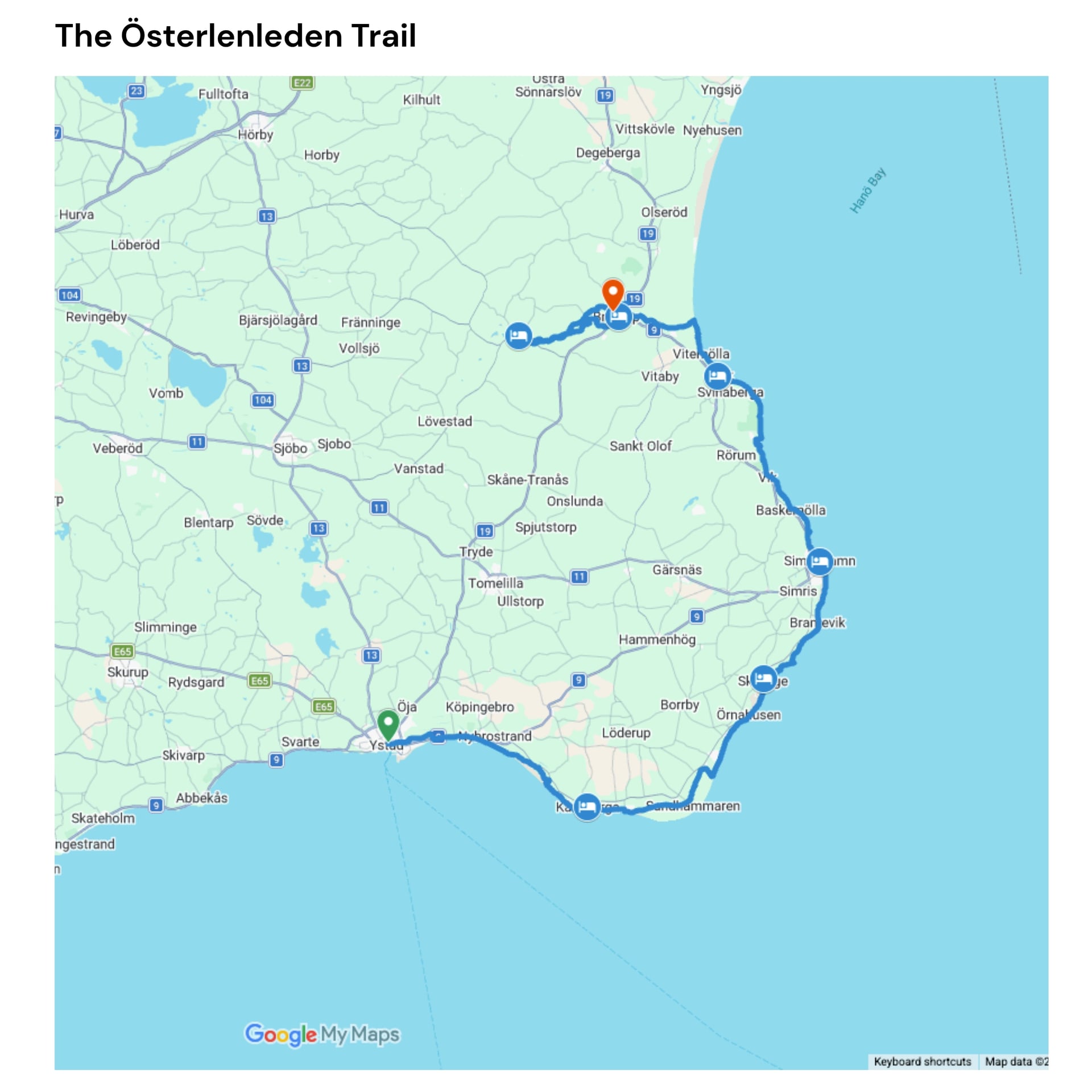
The Skåneleden SL4 loop covers 188 kilometres in 14 short stages from Ystad, and most visitors walk the coastal half rather than the circuit. Ystad is half-timbered streets, a Gothic church and one of Sweden's best-preserved medieval monasteries.
Walking east, the trail crosses the Nybroån, a stream known for its salmon, and runs below the Hammars Backar hills, where paragliders launch off the slope. Above Kåseberga stands Ale's Stones, a ship setting 67 metres long, laid out in megaliths on the clifftop in the Nordic Iron Age.

Beyond it the route turns inland at Löderup into the Hagestad nature reserve, pine and oak and beech with lilies of the valley across the floor, then returns to the sea at Sandhammaren, which is dune and white sand for kilometres. The old fishing village of Skillinge follows, then slate and limestone shore at Gislövshammar, the harbour at Brantevik, and the pastel houses of Simrishamn.
North of Simrishamn the walking gets its one hill. Stenshuvud National Park rises to a 97-metre summit straight above the Baltic, and past it the trail drops through apple orchards and cider houses into Kivik, which calls itself the apple kingdom of Sweden.
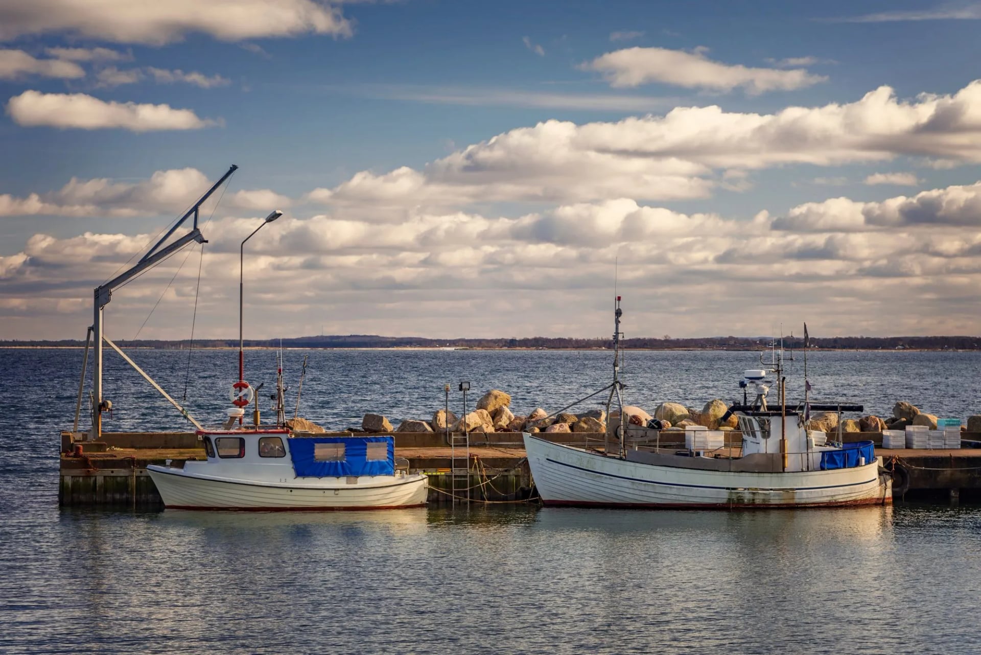
The last stretch turns inland and quiet: Vitemölla and its shore meadows, the Verkaån valley, the rounded pastures of the Brösarp hills, Hallamölla waterfall, the highest in Skåne, and the Andrarum alum works, once one of the country's major industries.
This is the south east corner of Sweden, the district called Österlen, and on the map the walk turns a right angle. From Ystad on the south coast, about 55 kilometres east of Malmö, the route runs east along the Baltic shore to the sandy point at Sandhammaren, then swings north through Simrishamn and Kivik before bending inland to Brösarp. You are never far from the sea until that final turn.
Gotaleden
Distance: 14 to 26 km a day, about 78 km walked
Ascent: 320 to 410 m a day
Sleeping: 3 star hotels with breakfast, luggage moved
Season: April to October
Grade: fitness 2, technical 1
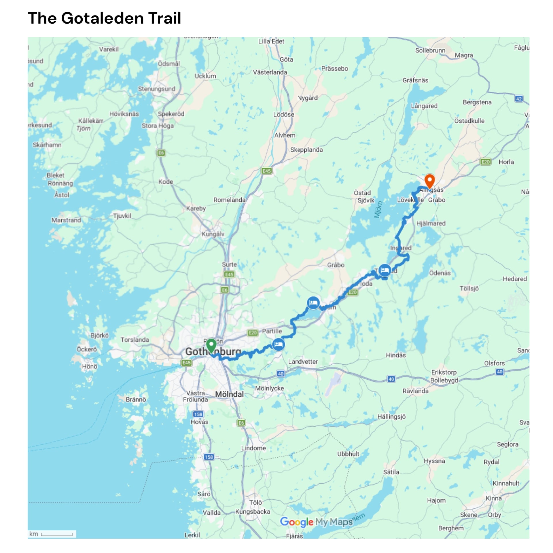
Nine stages and 71 kilometres from Gothenburg to Alingsås, opened in 2019 and marked in blue. It is the easiest Swedish long-distance trail to reach, since it starts in the middle of a city with an international airport.
You walk out past Liseberg and, four kilometres in, the streets give way to the Delsjön nature reserve: old oaks, forest track and lakes people swim in. The trail crosses Knipeflågsbergen, takes in the view over the city from Getryggen, and passes the lake at Blacktjärn on the way to Partille.
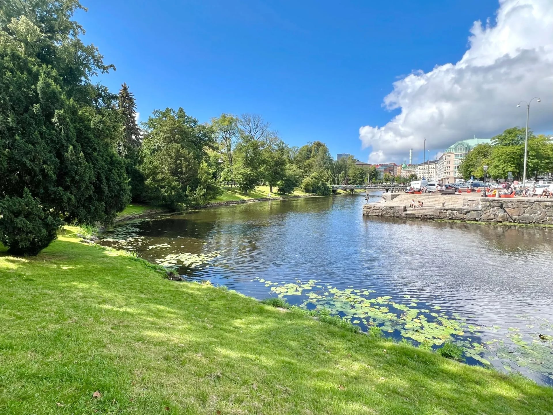
The middle days follow water. Jonsered is a preserved 19th-century mill village of brick terraces and restored gardens, protected as a site of national cultural significance, and beyond Lake Aspen the route climbs Goråsbergen to Lerum.
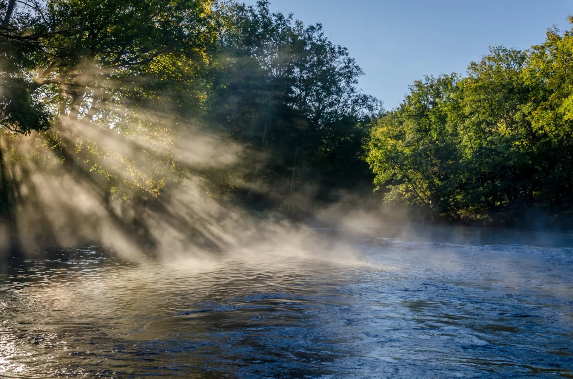
From there the trail joins the Säveån river through its nature reserve, which is the prettiest walking on the route: riverbank forest with the water always in earshot, and easy underfoot after the climbing of the first two days.
The oddest thing on that stretch is the Hillefors grit mill, the only water-driven rolled-oats mill in the world, still turning beside the river. The village of Nääs beyond it made its money from spinning mills.
The final day climbs past the Mysten sheep farm and through conifer forest to Ingared, with Lake Mjörn opening up below, and finishes through Nolhaga park and its castle into Alingsås, a town of wooden houses that bills itself as the capital of fika. If 26 kilometres is too much, the train from Västra Bodarna cuts it short.
The map here is the simplest of the four: a straight line inland from the west coast, running north east. It begins in the middle of Gothenburg and follows the Säveån valley to Alingsås, shadowing the railway and the E20 between Lake Aspen and Lake Mjörn. That is also why it is the easiest week to shorten: every stage ends at a station.
Jämtland, the High Coast and Sarek
For a short fjäll trek without the Arctic commitment, the Jämtland Triangle links three serviced mountain stations in 47 kilometres from Storulvån, walked in three days with beds and meals booked ahead. It is the standard rehearsal for the Kungsleden.
The High Coast Trail runs about 135 kilometres in nine sections up the Gulf of Bothnia, climbing from sea level repeatedly over land still rebounding since the ice. Sarek, by contrast, has no marked trails, no huts and no bridges, and it is the wrong place for a first Swedish trek.
How Hard Is Hiking in Sweden?
The Ground Underfoot
Nothing here is alpine. There are no cables, no ladders and almost no scrambling on the Swedish trail network. Nobody will ask you to hold a chain or clip into anything. What Sweden asks for instead is endurance, weather sense and a tolerance for being a long way from a road. That makes it an unusually good place to walk your first long-distance route, and a poor place to chase exposure.
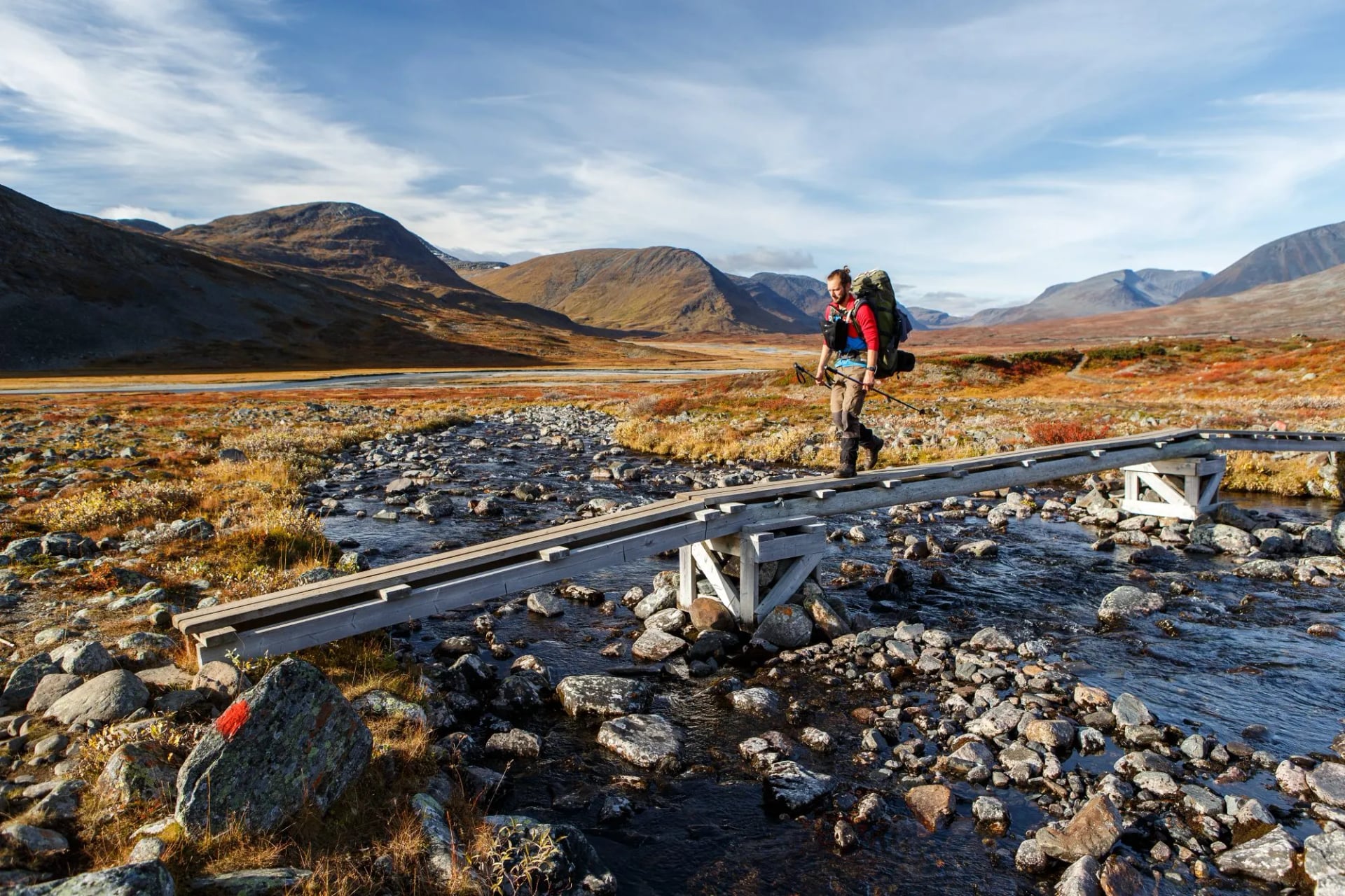
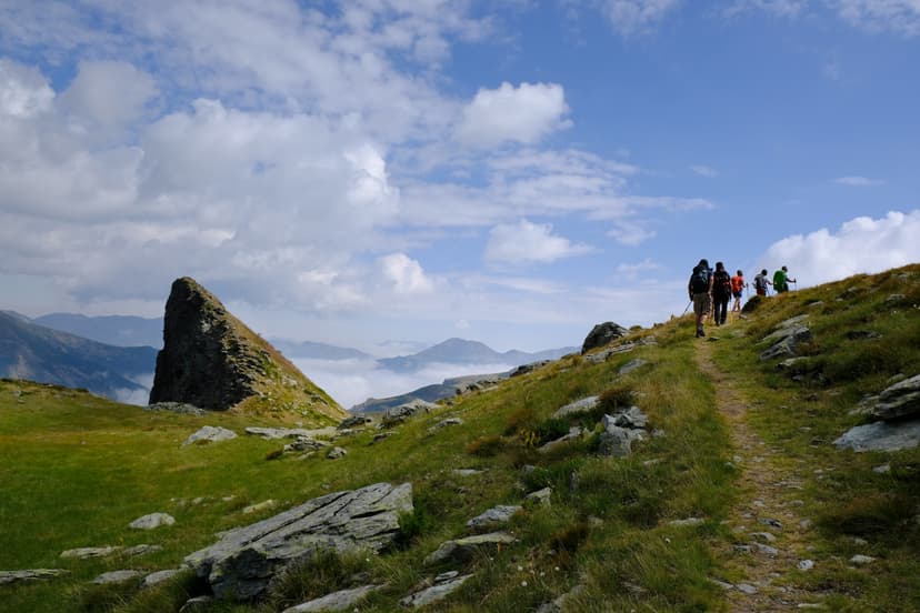
The ground is the difficulty. In the north you cross bog on boardwalk, boulder fields that halve your pace, and streams stepped over on stones. Kilometres per hour is the wrong unit above the treeline. Plan the fjäll in hours, not distances, and add one for weather.
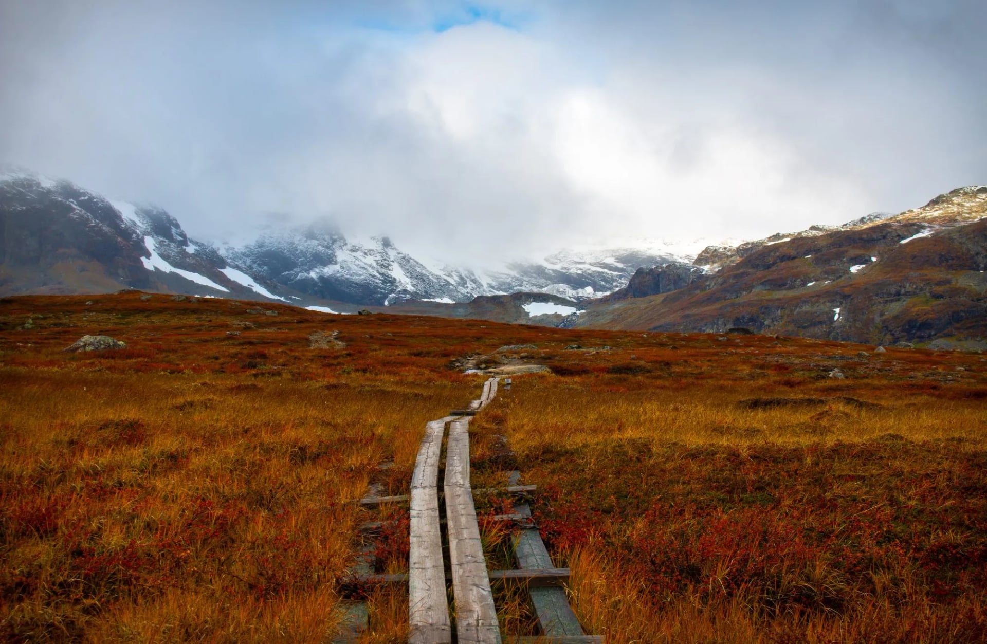
The treeline arrives fast. Walk south from Abisko and the birch forest gives out inside a day, leaving rock, water and low tundra to the horizon, with no shelter and no road to leave by until the far end of the week. In the south it is the opposite: forest path, farm track and sand, with a village every few hours.
Water and Waymarking
Water stops being a problem. Above the treeline the streams are drunk untreated as routine, and the hut wardens point you at the right source, so you carry half a litre rather than three.
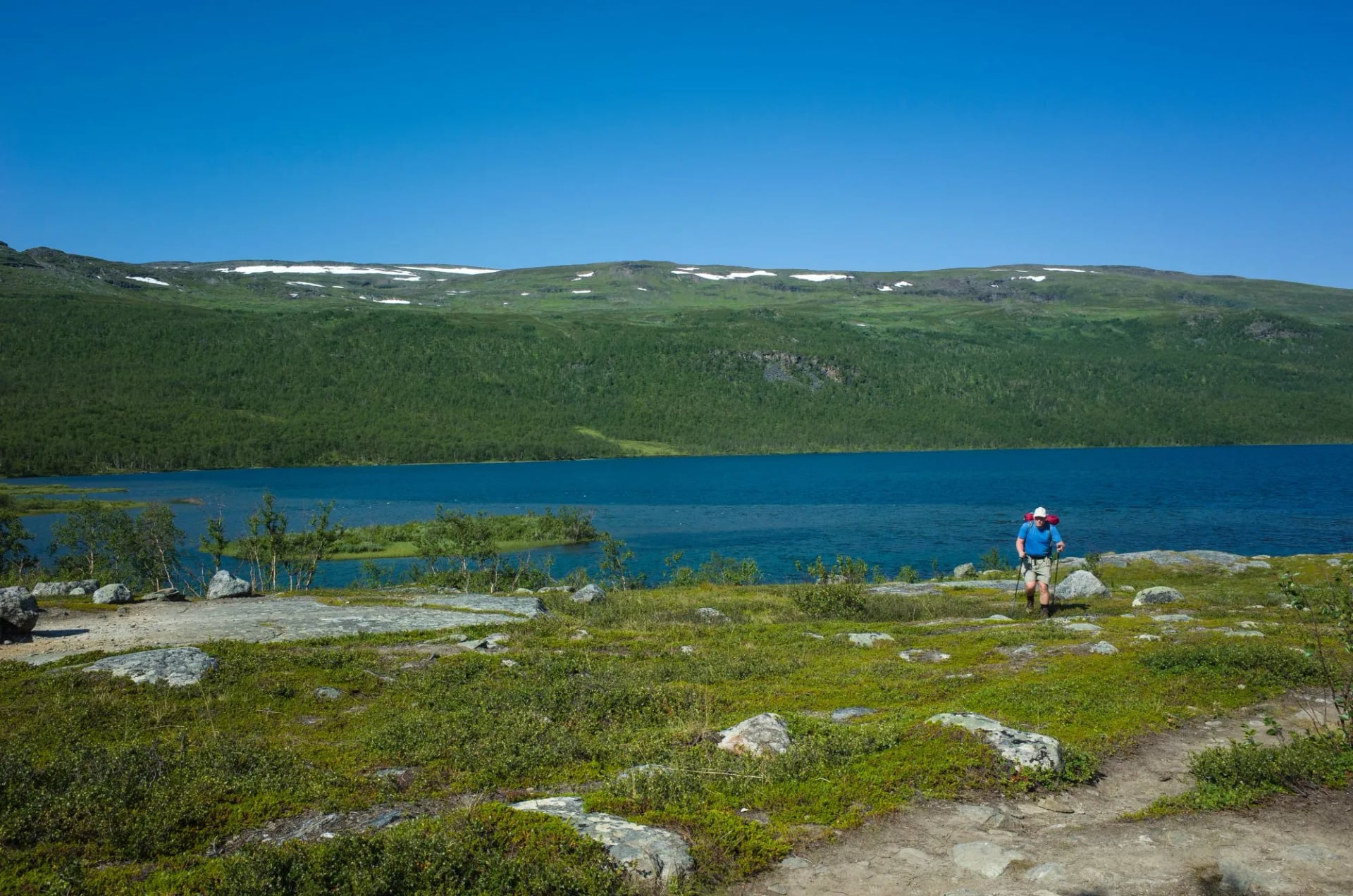
The waymarking is good, and it is not the alpine system. The fjäll uses red-painted cairns, the Skåneleden orange paint and posts, the Gotaleden blue markers. None of them give walking times, so read the ground rather than the sign.
Grades and Daily Distances
Grade the two halves separately, because the daily distances mislead in both directions. Our southern trips run at fitness 2 and technical 1 out of 5, on forest path, farm track and sand. That does not mean short. The Gotaleden finishes with a 26-kilometre day into Alingsås, and the Österlenleden's coastal stages run 20 to 22 kilometres.

Here is the figure that surprises people. The biggest climb of the four is southern: 640 metres over 16.5 kilometres between Mölle and Arild on the Kullaleden, where the trail crosses Kullaberg. The hardest Kungsleden day climbs 520 metres.
What makes the fjäll harder is everything except the ascent: no shelter, no early exit and ground that slows you down. The Kungsleden trip is graded fitness 3 and technical 3 for that reason, not for its climbing. A 12-kilometre day there can take as long as a 22-kilometre day in Skåne, which is the single hardest thing to plan for if you are used to walking on paths.
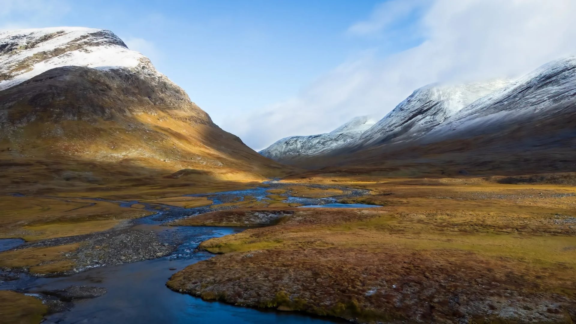
Train with a loaded pack, because you carry several days of food in the north. Our eight-week training guide sets out a sensible build.
Safety, Reindeer and Ticks
Mountain rescue. Alerted on 112. Volunteer teams trained by the police cover Norrbotten, Västerbotten, Jämtland and Dalarna, and the service is tax funded, so there is no bill to the person rescued. Travel insurance still matters for medical care.
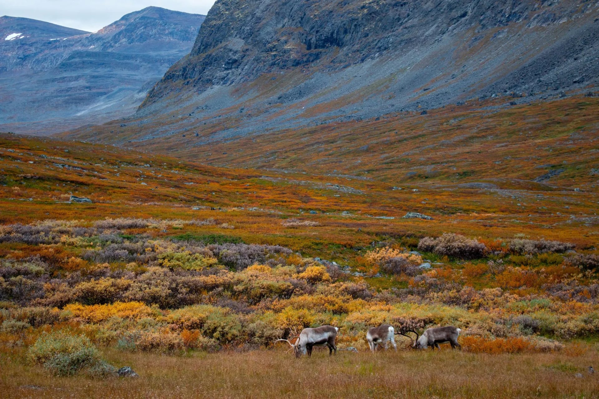
Reindeer and dogs. Give the animals a wide berth, especially during calving in May and June. Keep dogs leashed, and note that most Laponia national parks ban them, with the Kungsleden a marked exception.
Ticks. Skåne is a designated tick-borne encephalitis risk area from roughly March to October, so cover your legs and check daily. Our post on avoiding ticks while hiking has the routine.
When to Go Hiking in Sweden
Mid-June to mid-September: the only window in the fjäll, with the huts open
June: midnight sun and long light, snow still lying on the passes
July: warmest, busiest, and the mosquito peak
August: the most reliable walking, and one big trekking event
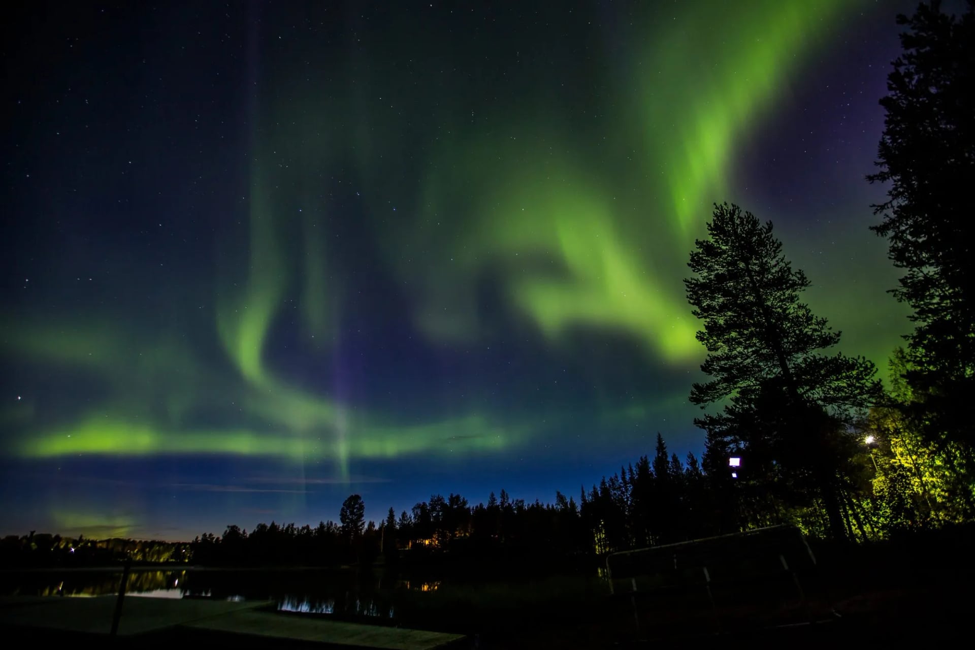
September: autumn colour, few insects and the first auroras
April to October: the southern season, strongest in May, June and September
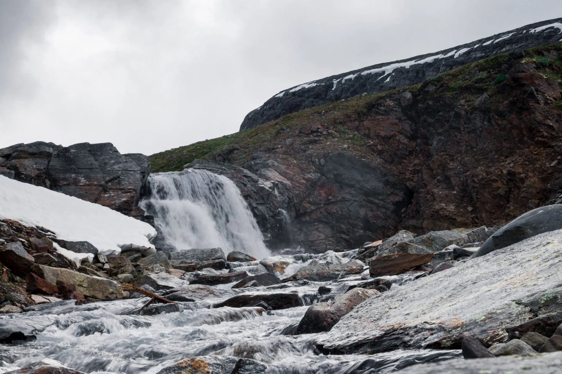
The huts open around midsummer and close in mid-September, so outside that window the Kungsleden is a winter route needing skis and winter skills. Dates move slightly each year, so check the Swedish Tourist Association before you book.
At Abisko the midnight sun runs from about 27 May to 18 July, so a June trip means walking at eleven at night in daylight. Bring an eye mask. July is the mosquito month, badly so in lowland and lakeside sections, and a head net weighs nothing. One date to avoid: the Fjällräven Classic sends around 2,000 trekkers from Nikkaluokta to Abisko on the first half of August.
September is the connoisseur's month. The birch turns yellow, the huts empty out and the aurora returns, at the cost of frost and shorter days.
Mountain Huts and Where to Stay
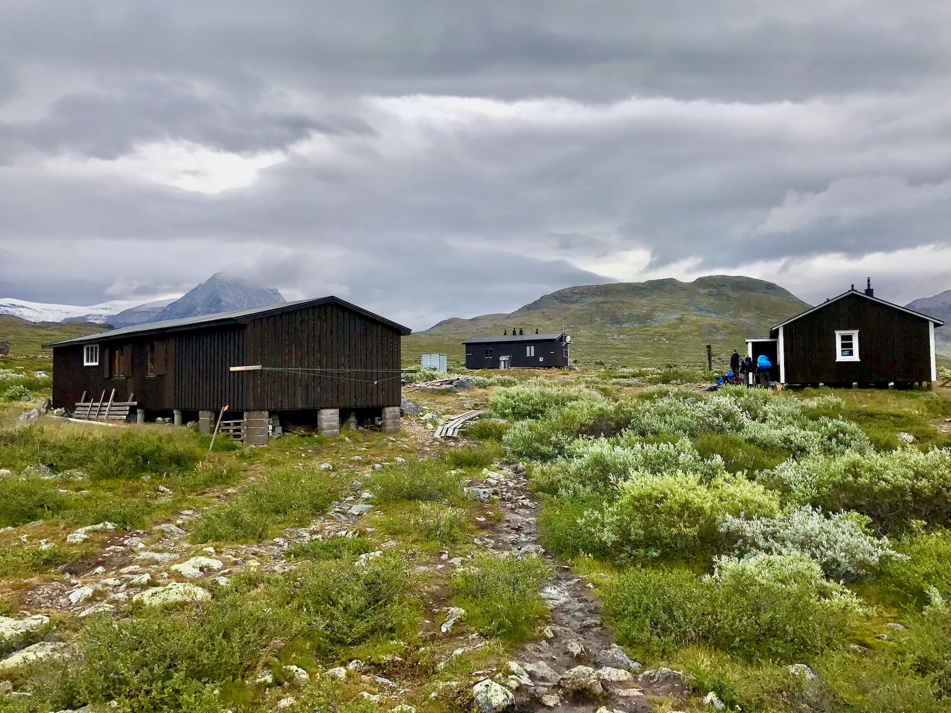
The huts are self-service, and that word does more work than people expect. There is no electricity and no running water. You fetch water from the stream, carry firewood from the shed, cook on a shared gas stove and sweep before you leave.
Most have a wood-fired sauna, and three on the northern week sell provisions: Abiskojaure, Alesjaure and Sälka. A warden lives on site all season. Lighting is candles and your own head torch, so a power bank is not optional.
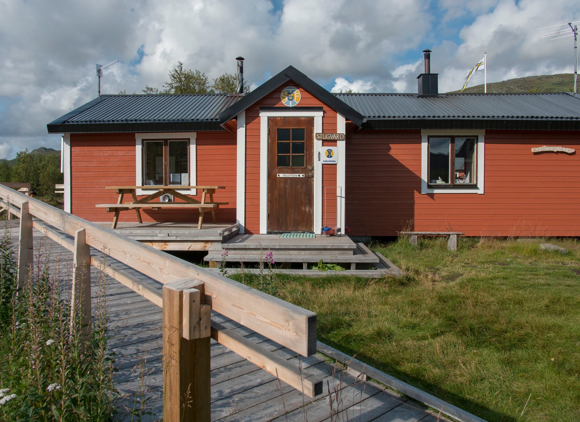
Nobody is turned away. Book ahead and your bed is guaranteed if you arrive by six in the evening. Turn up without a booking and you are given a space after six, which may well be a mattress on the floor of a shared room.
Members pay less, booking ahead costs less than paying on arrival, and cards work at most huts, though kronor in cash always work. Bedding is not provided either, so bring a sleeping-bag liner or a light bag of your own.
The mountain stations at Abisko and Kebnekaise are a different standard, with restaurants, showers and proper rooms. In the south you sleep in 3-star hotels with breakfast, and on the Gotaleden and Österlenleden luggage transfer means a day pack, closer to the alpine inn-to-inn rhythm.
Allemansrätten and Wild Camping
No permits are needed on any trail here. Allemansrätten covers a night or two of tenting on uncultivated land away from houses and cultivated ground. Abisko National Park restricts camping to marked areas, and the Laponia parks apply their own rules. The Swedish Environmental Protection Agency publishes the full rules.
Fires. The right of access carries no right to light one. County fire bans are routine in dry summers, and a fire must never be lit on or beside a rock.
Getting to the Trailheads
Sweden is two destinations for travel purposes, and they are reached from opposite ends of the country.
Getting to Lapland. Fly to Kiruna, or take the night train from Stockholm towards Narvik, which stops at Abisko Turiststation minutes from the trailhead. Engineering work has disrupted the line, so check the timetable.
Getting to the south. Copenhagen is the practical airport for Skåne, with trains over the bridge to Malmö, Helsingborg and Ystad. Gothenburg serves the Gotaleden.
Payment. Cards work everywhere in the south. Carry kronor for the huts and kiosks, where card readers depend on a signal.
Frequently Asked Questions
Choosing Your Sweden Hiking Trip
If you want the Arctic and can travel between mid-June and mid-September, the Kungsleden is the trip: a week above the treeline, wood-heated huts, no road for a day's walk and a hut system that never turns walkers away. September adds autumn colour and a chance of aurora.
If you want the same country with beds and hot showers, the southern trails run half the year and none of them ask for a tent or a week of food. Take the Kullaleden for cliffs, castle gardens and fishing harbours. The Österlenleden gives the flattest days, the longest total distance and the standing stones above Kåseberga.
The Gotaleden runs out of central Gothenburg along the Säveån valley to Alingsås, the easiest start of the four for anyone flying in.
Still weighing it up? Get in touch with our team and we will shape the week around your dates →

About this author
Jon is our travel advisor and an outdoor adventurer who is happiest on the move. While mountain biking is his personal passion, he thrives on crafting hiking adventures for others — planning routes and adding the little touches that turn a trip into a core memory.














.jpg&w=828&q=75)












































.jpg&w=828&q=75)























