The Corfu Trail: A Complete Walker's Guide End to End
Corfu's 220-km waymarked long-distance trail runs from Cape Asprokavos to Cape Agia Ekaterini — here's the route, season, difficulty and how to walk it.

Ajda
Published August 14, 2026
Edited August 14, 2026
9 min read
Don't want to read all this?
We've planned 2,000+ hiking trips. Send your dates, fitness and group size — we'll map the route and book every night.



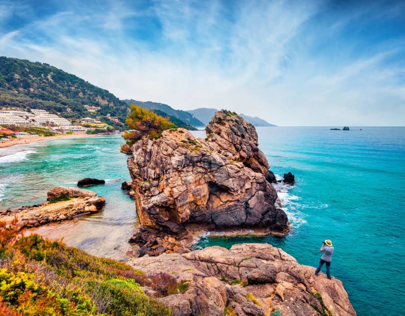
Most people know Corfu as a Greek island in the Ionian Sea — the one closest to Albania, ringed by turquoise bays and packed with beach resorts in July. Far fewer know that a single waymarked footpath runs the entire length of the island, from the southernmost cape to the northernmost, threading olive groves, mule tracks and mountain villages that most package holidays never see.
That path is the Corfu Trail, the only long-distance walking route in the Ionian Islands. It opened up an entire dimension of Corfu that was almost invisible before 2001, and for anyone used to the Alps or the Camino, it is a surprisingly quiet, low-altitude walk with village accommodation every night and no camping required.
Length | around 220 km, walked south to north |
Time | 9–12 days for the full route |
Best season | April to early June, or mid-September to late October |
Difficulty | moderate — long days, but no scrambling or exposure |
The Map
What Is the Corfu Trail?
The Corfu Trail is a long-distance footpath conceived and waymarked in 2001 by Hilary Whitton Paipeti, a British writer who had settled on the island and spent years documenting its forgotten paths. Her aim was to stitch the old mule tracks, shepherds' routes and coastal traces into a single continuous line — and to give the island's traditional footpaths a reason to stay open.
The result covers roughly 220 km end to end, from Cape Asprokavos on the southern tip to Cape Agia Ekaterini in the far north. The signed variants add or subtract distance, so expect 180 to 220 km depending on which you take. Our pre-planned self-guided version curates the highlights into a walkable 11-day route of about 150 km. The path is marked with yellow signs bearing the letters CT and connecting yellow paint blazes on rocks, trees and walls.
Corfu Trail Stage by Stage
The trail divides into twelve waymarked sections, each running between places with somewhere to sleep. Most walkers cover them in eight, ten or twelve days by joining the short ones and splitting the long one.
The direction most walkers pick is south to north. Wind and sun tend to favor that side of things, and it puts the toughest climbs — up onto the Pantokrator massif — into the second week, once your legs have caught up with the daily distances. Measurements of the entire trail differ (quoted anywhere between 180 and 220 km depending on which variants are counted) but the order below is the one the trail marking follows.
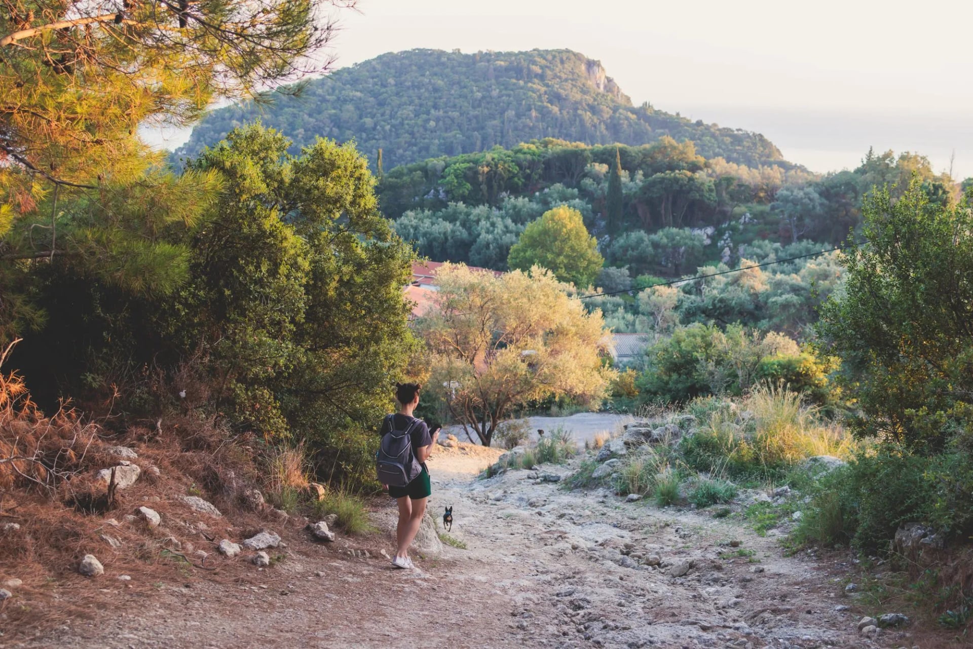
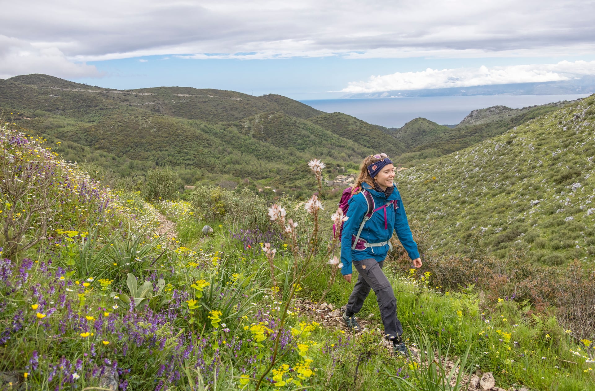
Your first three or four days will be in the flatter south, inland from Cape Asprokavos, through the olive groves, past Lake Korission, and up into the low hills around Ano Pavliana and Sinarades. From there, you'll follow the island's "spine" through the middle section before dropping down to the west coast at Paleokastritsa, then head back inland into the Ropa Valley, past Angelokastro, and onto the higher ground of the north.
The last few days are the ones that will test you. The path climbs to the summit of Mount Pantokrator at 907 m, the highest point on Corfu, with views across to Albania, the Greek mainland, and on a clear day as far as Italy 130 km west. From the top, the trail drops through Old Perithia and finishes on the wide sweep of Agios Spiridon beach.
Highlights On The Way
Cape Asprokavos is the southern trailhead — a quiet headland just north of Kavos, with the ruined 18th-century monastery of Panagia Arkoudilas above the sea. This is where the yellow CT markers begin.
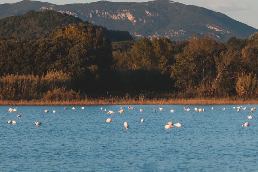
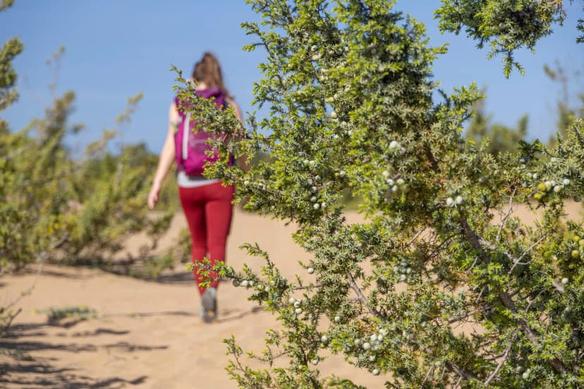
Lake Korission is a shallow brackish lagoon separated from the Ionian Sea by a long ribbon of sand dunes. In spring and autumn it hosts pink flamingos, herons and terns on the Mediterranean flyway. The trail skirts its eastern edge before crossing the dunes and it is the first stretch of the walk that feels wild.
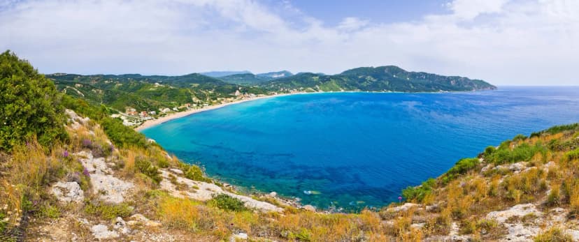
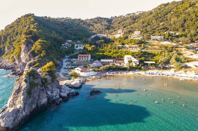
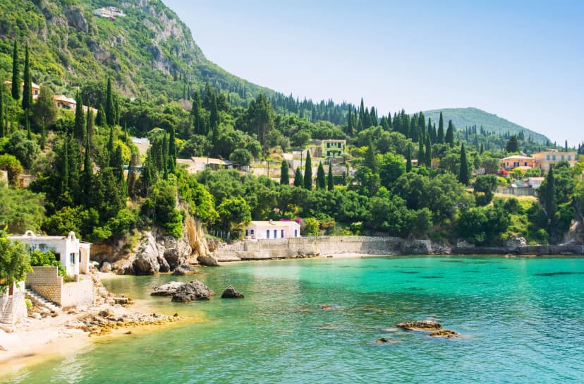
Paleokastritsa is a cluster of six small bays on the west coast, watched over by the 13th-century Panagia Theotokos monastery on the cliff above. Walkers reach it after one of the trail's most scenic coastal descents, and most people build in a rest day here or arrive early enough for an afternoon swim.
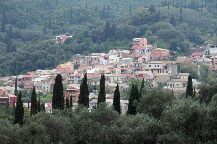
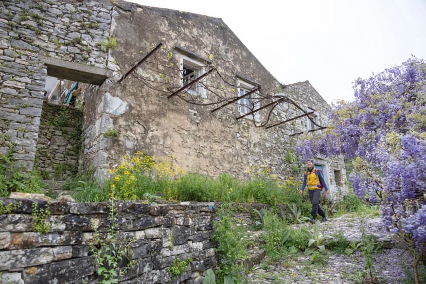
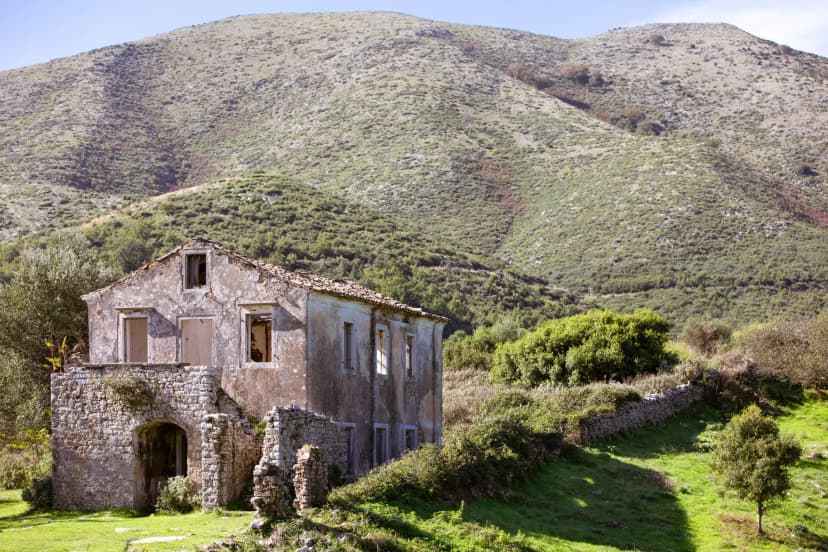
Old Perithia is the oldest village on Corfu, tucked into a hollow on the north side of Mount Pantokrator at 650 m. Abandoned for decades and now slowly revived, it makes a natural second-to-last stop, with four surviving tavernas and stone houses that pre-date the Venetian arrival.
Mount Pantokrator is the 906-metre summit of Corfu and the trail's highest point. A working monastery sits at the top, along with the antenna array visible from most of the island. Walking it includes a switchbacking climb from Old Perithia — steep in places, but never technical.
When to Walk It
The two windows you'll want to target are April to early June and mid-September to late October. Temperatures sit between 18 and 26°C most days, the olive groves are green, and Lake Korission is at its best for birdwatching in spring. Autumn is the more forgiving option for many walkers: the sea is still warm, the light is softer, and the summer crowds have thinned.
In Spring, snakes are more common on Corfu — including one venomous species — but bites are almost unheard of; long trousers on rougher sections are sufficient.
July and August are best avoided. Temperatures on the Ionian coast regularly cross 35°C, the trail's shade is patchy, and much of what makes the walk worth doing gets lost in the summer crowds around Paleokastritsa.
November to March is off-season — many pensions close and the higher stages get slippery — so few people attempt it.
How Hard Is It?
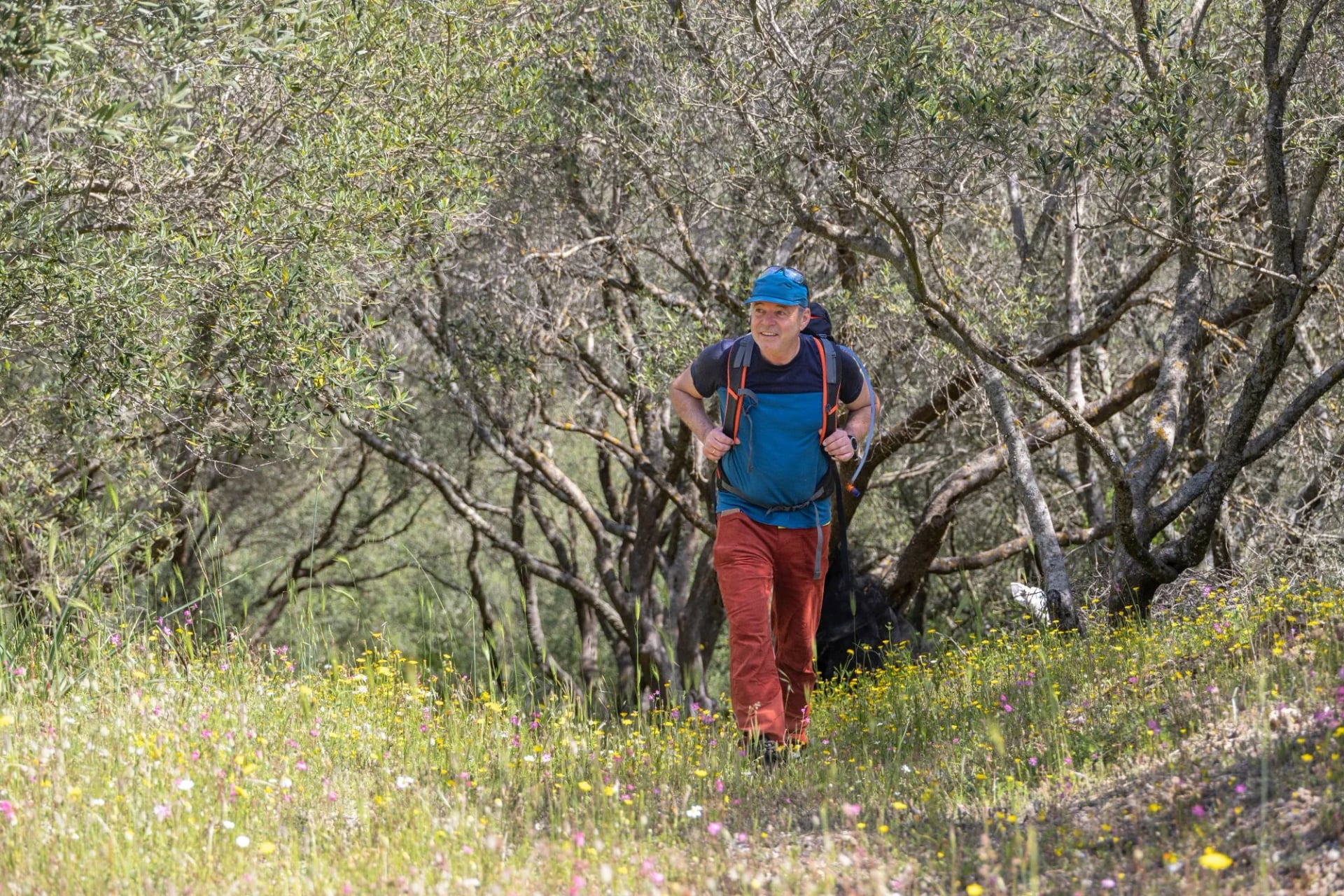
The Corfu Trail is a moderate walk, not a technical one. Daily distances fall between 15 and 22 km with 300 to 900 m of ascent per day; there is no scrambling, no exposure, no fixed rope, and no altitude to worry about.
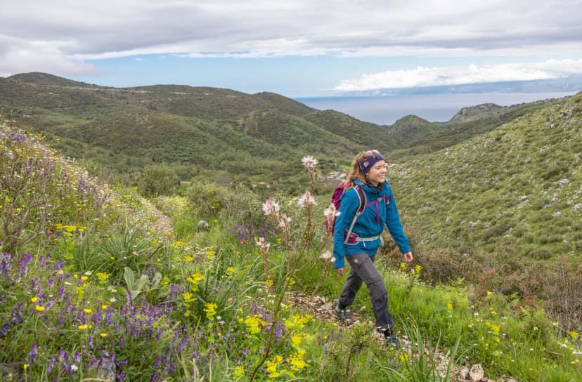
What makes it harder than the numbers suggest is the cumulative sun and the surface variety — packed-earth mule track, broken rock, short sections of asphalt through a village, and loose gravel on hillsides above the sea. Ankle support helps, and so does a slower pace on the days that combine distance with a big climb.
Any walker who has completed a Camino stage or an Alpine hut-to-hut will find the Corfu Trail well within reach. Beginners without regular hiking mileage may find the back-to-back long days tiring by day six — plan a rest day in Paleokastritsa or Old Perithia from the start.
The Waymarking
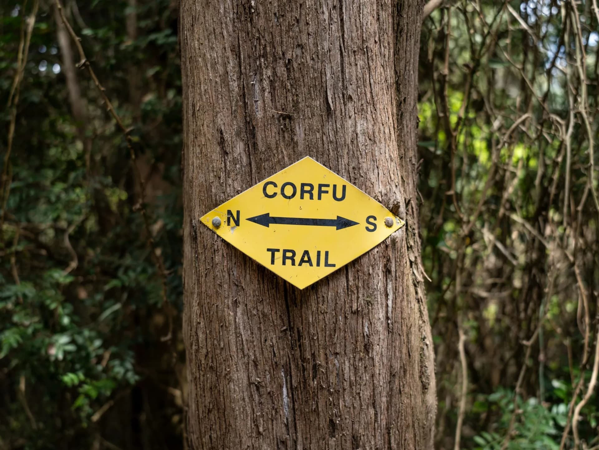
This is the section every previous walker will tell you to read twice. The Corfu Trail is waymarked, but the quality of the waymarking varies dramatically along its length. In some sections the yellow diamond stamped CORFU TRAIL signs, with arrows north and south, appear every few hundred metres and the route is impossible to lose. In others — particularly on stretches damaged by winter storms or fire — markers have faded, been painted over, or disappeared entirely.
Coverage is improving, but no one should walk the trail without a backup navigation system. Walk it with the route loaded as a GPX file on a phone with offline maps, and carry a battery bank. In a self-guided package the GPX file, daily route notes and an emergency phone number are all included; to gather up-to-date information ahead of time you can visit the official route page.
Where You Sleep
There are no mountain huts or refuges on the Corfu Trail — every night is spent in a village, in a family-run guesthouse, a small pension, or a three-star hotel in the larger centres.
Rooms cluster in Kavos, Sinarades, Paleokastritsa, Old Perithia and Agios Spiridon; book at least six weeks ahead in May, early June and September.
Prepare for the Trail
Three things might catch out otherwise experienced hikers on Corfu.
Village fountains are common and safe to drink from, but the gaps between them on some stages run to four or five hours. Carry a minimum of two litres and refill wherever you can.
Cards work in coastal Corfu, but interior villages and northern hill hamlets often take cash only. Draw €200–300 in Corfu Town or Kavos before you set off.
The single most under-estimated hazard on the trail is the exposure, not the terrain. A wide-brimmed hat, high-factor sunscreen and a long-sleeved sun shirt matter more than any technical layer.
Getting There
Corfu is one of the easiest walking destinations in Greece to reach. Corfu International Airport (CFU) sits three kilometres south of Corfu Town and takes direct seasonal flights from most Western European hubs between April and October; off-season, connections route through Athens.
To reach the southern trailhead, a taxi from the airport to Kavos takes about an hour and costs €70–90. Agios Spiridon at the northern end is roughly an hour's drive back to the airport — our tour package includes both transfers. For anyone travelling overland, daily ferries run between the mainland port of Igoumenitsa and Corfu Town in about 90 minutes.
Ready to Walk It?
The Corfu Trail is a walk to plan properly, not to improvise. Get the GPX file, the rooms, and the taxi from the right end of the island right, and you have one of the most varied long-distance walks in Southern Europe ahead of you.
If you would rather have all of it planned for you, our Corfu Trail package handles the moving parts:
accommodation in comfortable inns and guesthouses
Full digital guidebook and daily route notes
GPS navigation via a phone app, with the whole route pre-loaded
On-trip support
Luggage transfer between accommodation per request
Airport transfers at both ends on request
For more on how the format works, see self-guided tours explained and the hiking difficulty guide. If Corfu is the start of something longer, our Greece walking collection and inn-to-inn tour category gather every trip in the same format.
The yellow markers are still where Hilary Paipeti painted them twenty-five years ago. All you have to do is book the first taxi to Cape Asprokavos.
Frequently Asked Questions

About this author
Ajda is our travel advisor, raised in a village surrounded by mountain peaks. Hiking entered her life early on and remains her favorite way to reconnect with nature.







.jpg&w=828&q=75)



















































.jpg&w=828&q=75)






















