Hiking Montenegro: The Ultimate Guide to Peaks and Coast
What to know about hiking in Montenegro: the peaks worth walking, when to go, and what other guides forget to mention before you fly.

Jon
Published August 29, 2026
Edited August 29, 2026
14 min read

Don't want to read all this?
We've planned 2,000+ hiking trips. Send your dates, fitness and group size — we'll map the route and book every night.



Montenegro is a small Balkan country on the Adriatic, wedged between Croatia and Albania, and hiking there means choosing between three completely different regions:
The Bay of Kotor delivers stone stairways and a shaded ridge to Mount Lovćen.
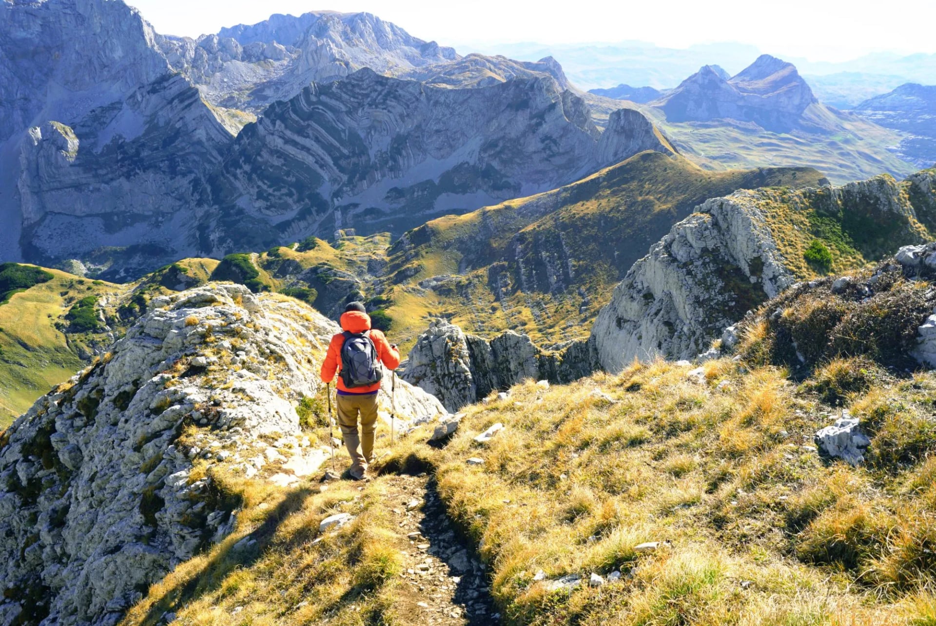
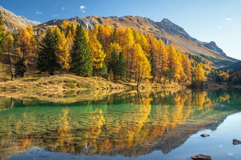
Inland, Durmitor rises to 2,500-metre limestone summits and glacial lakes.
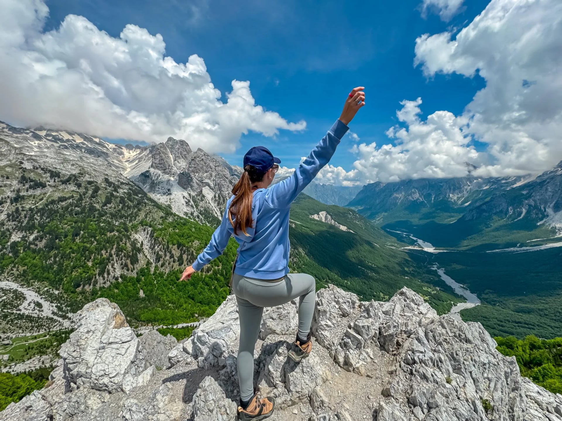
Along the Albanian border, the Accursed Mountains open into a border-crossing thru-hike across three countries.
Which region you plan for shapes the whole trip. This guide covers each of the three — where to go, when to go, and how hard the walking is — down to the cables on the highest peak, the guardian dogs at the katuns, and where the last ATM sits before the mountains take over.
The essentials:
Where: Between Croatia and Albania on the Adriatic; the mountain interior sits within a two-to-four-hour drive of the coast.
What to walk: Durmitor National Park (limestone summits, glacial lakes), the Prokletije / Accursed Mountains (border thru-hike), Bay of Kotor and Lovćen (stone stairways and heritage ridges).
Difficulty: Coastal routes are moderate stone-step days; Durmitor and Prokletije are Alpine-grade with real elevation and one cabled scramble.
When: Durmitor and Prokletije mid-June to late September; Bay of Kotor April–June and September–October.

At a Glance
Region | Character | Best months | Difficulty | Base town |
|---|---|---|---|---|
Bay of Kotor & Lovćen | Coastal stone stairways, medieval walls, sea views | Apr–Jun, Sep–Oct | Moderate; big descents on stone | Kotor |
Durmitor National Park | Alpine limestone, glacial lakes, one scramble summit | Jun–Sep | Alpine — 6–10 h days, exposure, high elevation gain | Žabljak |
Accursed Mountains (Prokletije) | High cols, thru-hike into Albania and Kosovo | Jul–Sep | Serious mountain — permits and remote terrain | Plav or Gusinje |
Why Hike in Montenegro?
The comparative case for Montenegro comes down to concentration. In a country roughly the size of Connecticut you get 2,500-metre limestone summits, glacial lakes, a UNESCO-listed massif, a coastal karst ridge, a medieval walled town, and a border-crossing thru-hike — all within a four-hour drive. The trails cost less than the Alps and see fewer hikers. Durmitor is genuinely alpine but rarely feels crowded outside a single lake loop near Žabljak. The Accursed Mountains feel Himalayan in scale for a range you can reach on a bus from Podgorica.
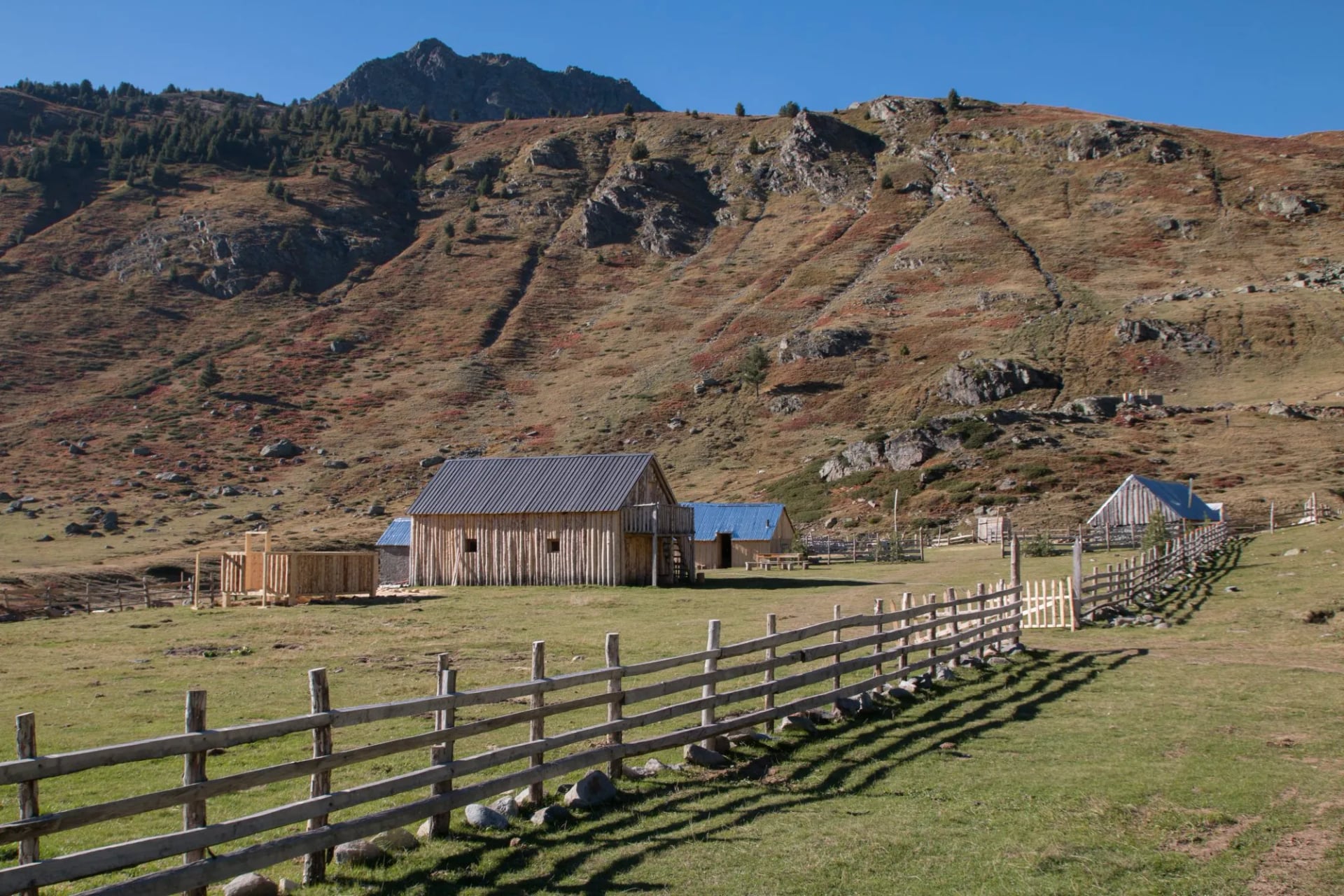
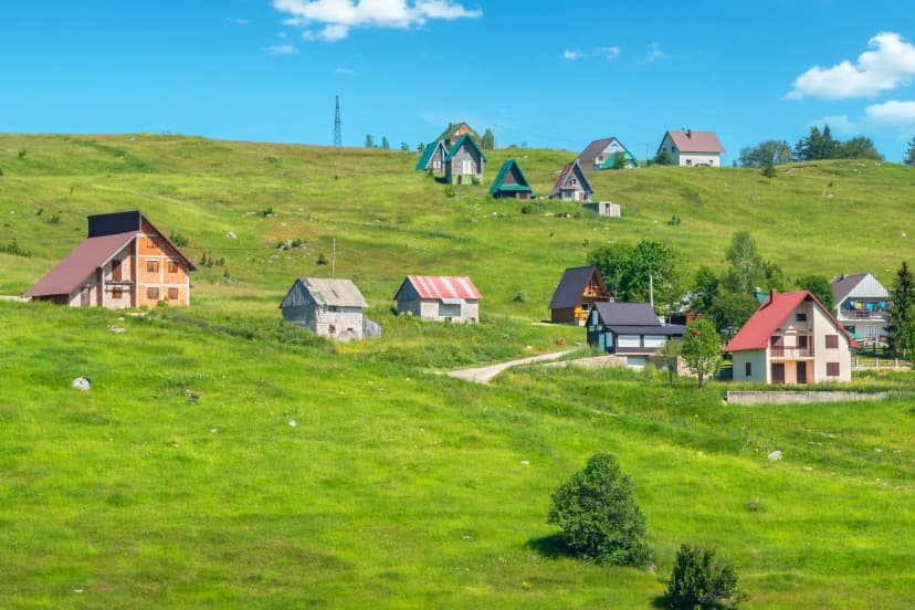
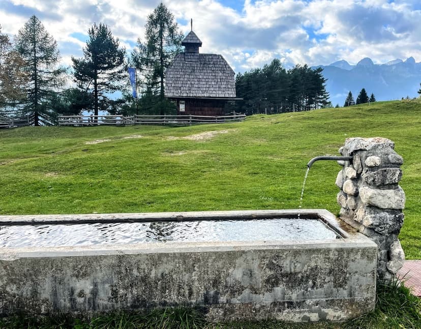
Then there is the human layer that other Balkan destinations do more thinly. Shepherds still drive livestock up to summer settlements called katuns each June and back down each September, a working transhumance you walk through rather than watch from the road. A night in a katun often means a wood stove, rakija poured from a plastic bottle, and cheese made that afternoon — hospitality that works even entirely without English. The mountain villages of Plav, Gusinje, Njeguši, and Kolašin each have their own texture, and none of them exists solely for tourists.
The Three Montenegros
Montenegro's three hiking regions occupy different ecosystems, different altitudes, and, in a real sense, different holidays. Understanding which one fits the week you have is the single most important planning decision.
Durmitor National Park
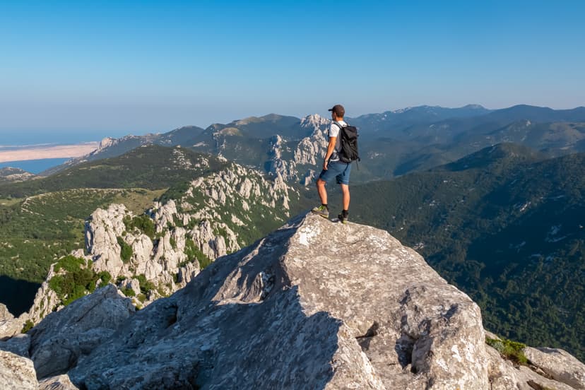
Durmitor is Montenegro's alpine core: a limestone massif in the north, UNESCO-listed since 1980, covering about 34,000 hectares. The base is Žabljak, a mountain town at 1,450 meters that serves as trailhead for almost every route. The highest peak that lies entirely within Montenegro's borders — Bobotov Kuk at 2,523 meters — rises from the centre of the park.
The routes here divide into three tiers.
Half-day loops around Black Lake (Crno Jezero) work for anyone with functional legs — the lakeshore path is about 3.5 kilometers, roughly ninety minutes.
Longer day hikes from Žabljak reach the Ice Cave (Ledena Pećina), a limestone cavity with year-round ice at 2,164 meters, roughly seven kilometers one way with 740 meters of ascent.
The summit route to Bobotov Kuk from Sedlo pass is the classic — a six-to-seven-hour round trip with about 700-900 meters of ascent and a cabled final scramble.
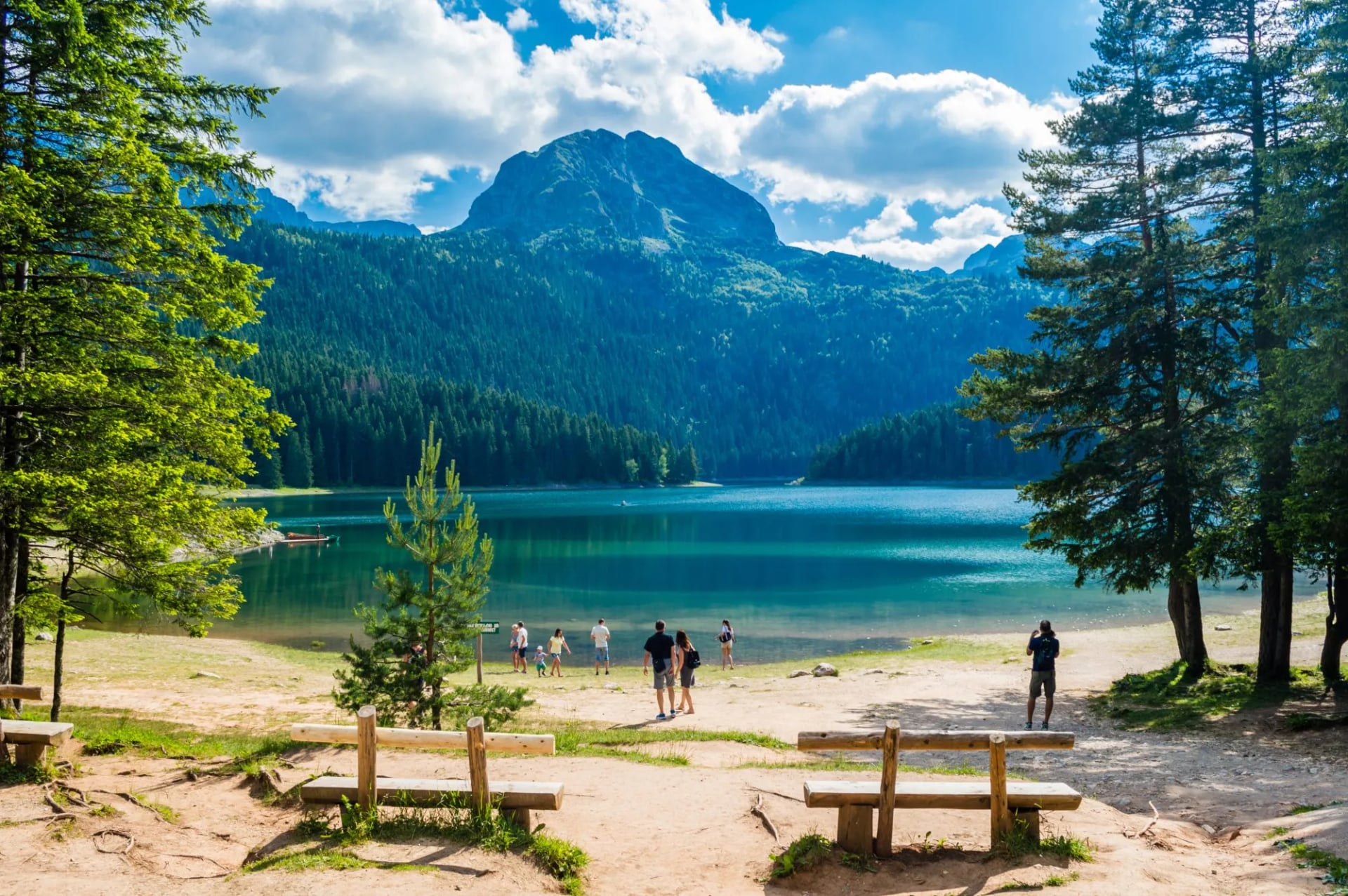
Weather turns quickly here. Afternoon thunderstorms are the rule in July and August, so most locals start at dawn and are back at Žabljak by early afternoon. Wild camping in the park is officially prohibited; hikers use marked bivouac sites or the huts. The Durmitor National Park visitor guide publishes current trail conditions and road closures through the season.
The Accursed Mountains (Prokletije)
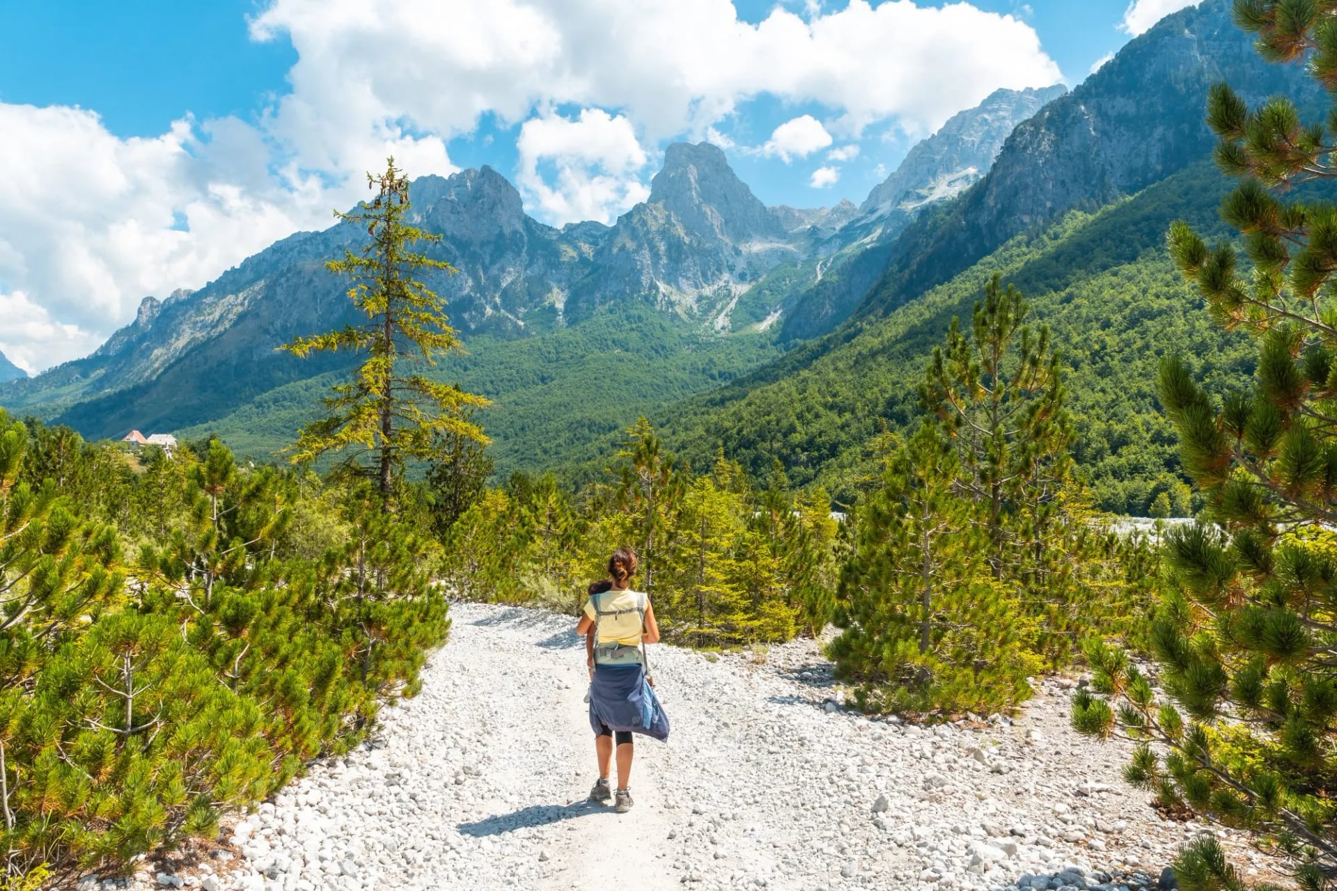
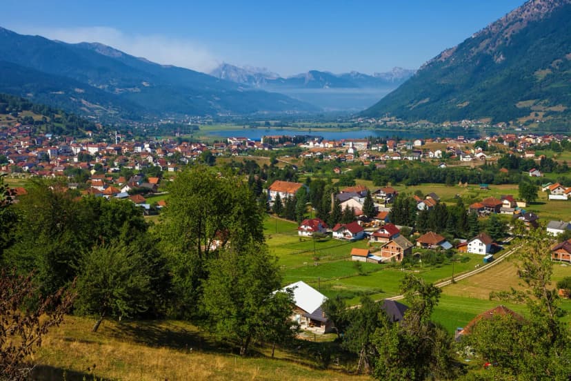
The Accursed Mountains — Prokletije in Montenegrin, Bjeshkët e Nemuna in Albanian — form the wall along Montenegro's southeastern border with Albania and Kosovo. This is high, remote karst country: cols above 2,000 meters, cirques choked with scree, and a range high point of Maja Jezercë at 2,694 meters just across the Albanian side. Montenegro's own tallest border peak, Zla Kolata at 2,534 meters, actually sits higher than Bobotov Kuk if you are keeping score, though locals still argue over which counts as the country's true summit.
The base villages are Plav and Gusinje, both reachable by bus from Podgorica via Kolašin or Berane. Plav is the last town with a reliable ATM. Beyond that, everything is cash, and the huts depend on rainwater cisterns.
The signature undertaking here is the Peaks of the Balkans Trail: 192 kilometers, ten stages, three countries. You need three separate border permits — one per country — with Montenegro charging an administration fee plus a few euros per person per crossing. Albania and Kosovo issue theirs free. Applications go in two to eight weeks ahead, ideally through an agency that already has the process wired; the official Peaks of the Balkans permit page lays out the current per-country requirements.
For a shorter sample, the highlights version covers the trail's most photographed passes and huts in five days — one of several Balkan hut-to-hut itineraries we run.
Bay of Kotor and Lovćen
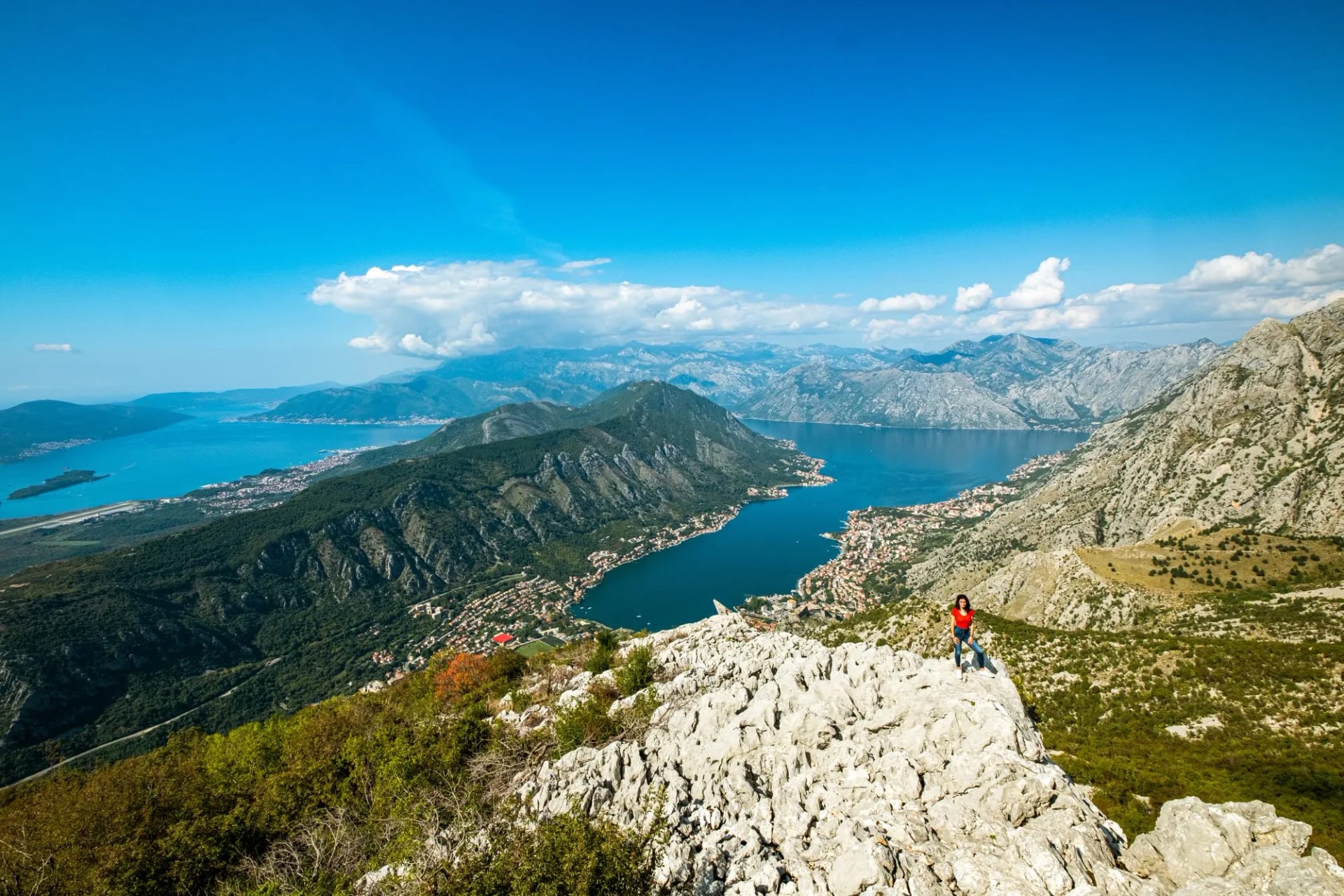
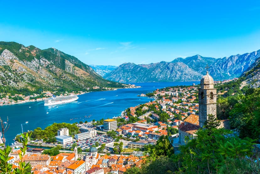
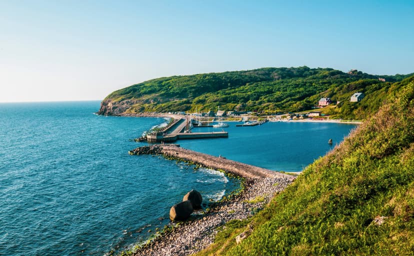
The coast is a different holiday entirely. The Bay of Kotor is a fjord-like sea inlet in southern Montenegro — technically a submerged river valley — ringed by medieval towns and framed by two mountain ridges rising directly from the water. The walking here trades alpine for stone: fortress switchbacks, Habsburg-era mule tracks, and heritage ridge lines above the sea.
The signature short hike is the switchback climb to San Giovanni Fortress above Kotor's old town, roughly 1,350 stone steps to a viewpoint at 260 metres. Longer is the Ladder of Kotor (Stepenice od Kotora), an old Habsburg trade route from Kotor up to Krstac pass at about 940 metres — roughly six kilometres and seventy hairpins.
Above that sits Lovćen National Park, where a set of 461 steps under a mountain tunnel climbs to the Njegoš Mausoleum at 1,657 metres — the black-marble tomb of Montenegro's poet-prince-bishop, cut into the summit of Jezerski Vrh in 1974.

The Best Hikes
Every route below shows up on serious Montenegro itineraries. Grades follow our hiking difficulty guide — Alpine means genuine mountain terrain with exposure, not just a long day out.
Route | Region | Time | Grade | Signature scene |
|---|---|---|---|---|
Bobotov Kuk summit | Durmitor | 6–7 h round trip | Alpine scramble | Cabled crest to 2,523 m |
Ice Cave (Ledena Pećina) | Durmitor | 6–7 h round trip | Moderate mountain | Year-round ice inside limestone at 2,164 m |
Ladder of Kotor | Bay of Kotor | 4–5 h up | Moderate | Seventy hairpins to Krstac pass |
Njegoš Mausoleum | Lovćen | 2–3 h | Easy–moderate | 461 steps to a poet-prince's tomb |
Peaks of the Balkans, full loop | Prokletije | 10 days | Serious multi-day | Three countries on foot in one week and a half |
Biogradska Gora lake circuit | Kolašin | 2 h | Easy | Glacial lake ringed by primeval beech forest |
Vrmac ridge | Bay of Kotor | 5–6 h | Moderate | Bay-and-mountain traverse above Kotor |
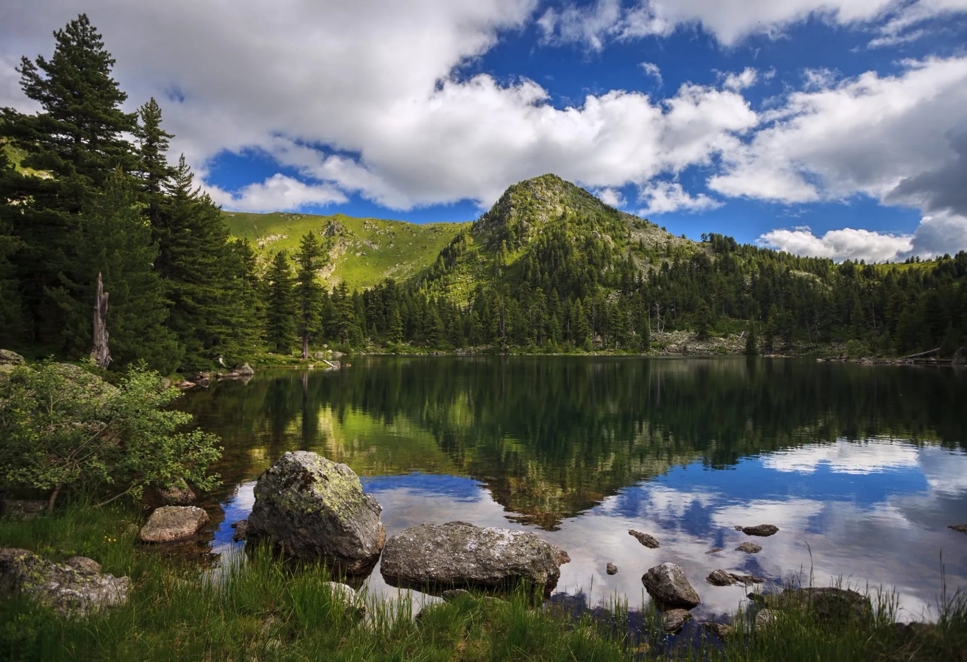
The one route that deserves a paragraph of its own is Biogradska Gora. This is Montenegro's smallest national park, 5,650 hectares just outside Kolašin, and it protects one of Europe's few surviving stands of primeval beech and fir.
The lakeshore loop around Lake Biograd is a two-hour walk on flat forest track — a rest day rather than a summit day, but a rest day that puts you next to trees that were mature before the Ottoman Empire arrived.
When to Go
Seasons diverge sharply between coast and mountains — get this wrong and half the trip is wasted.
Coast (Bay of Kotor, Lovćen)
The coastal walking season runs from April to June and again from September to October. High summer on the coastal stone is punishing; the fortress switchbacks and the Lovćen steps become full-sun ovens by mid-morning. Shoulder-season temperatures sit in the low twenties, cruise ships thin out of Kotor, and the water is warm enough for a post-hike swim from mid-May onward.
Durmitor
Durmitor's season stretches from mid-June to late September. The Sedlo road stays blocked by snow into late May most years, and Škrka mountain hut opens mid-June and closes at the end of September. July and August bring the most predictable weather and also the most reliable afternoon storms — check the forecast every morning and start early. September gives the best light and the emptiest trails; expect frost above 1,800 metres by the third week.
Prokletije
Prokletije opens up from July to mid-September. Snow lingers on north-facing cols through mid-June, and huts on the Peaks of the Balkans loop typically open around 20 June depending on the year. Late August into early September is the sweet spot: streams still run, katuns still occupied, storms less frequent than mid-summer, and the light on the limestone begins to lengthen.
How Difficult Is It?
Difficulty in Montenegro is not uniform.
Coastal walks reward stamina — the Ladder of Kotor and the fortress steps are big cumulative-descent days that punish knees more than lungs.
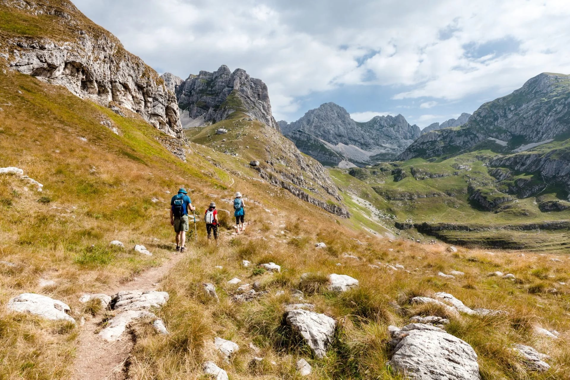
Durmitor is genuinely alpine: six-to-ten-hour days, real exposure, high elevation gain is typical for a summit day.
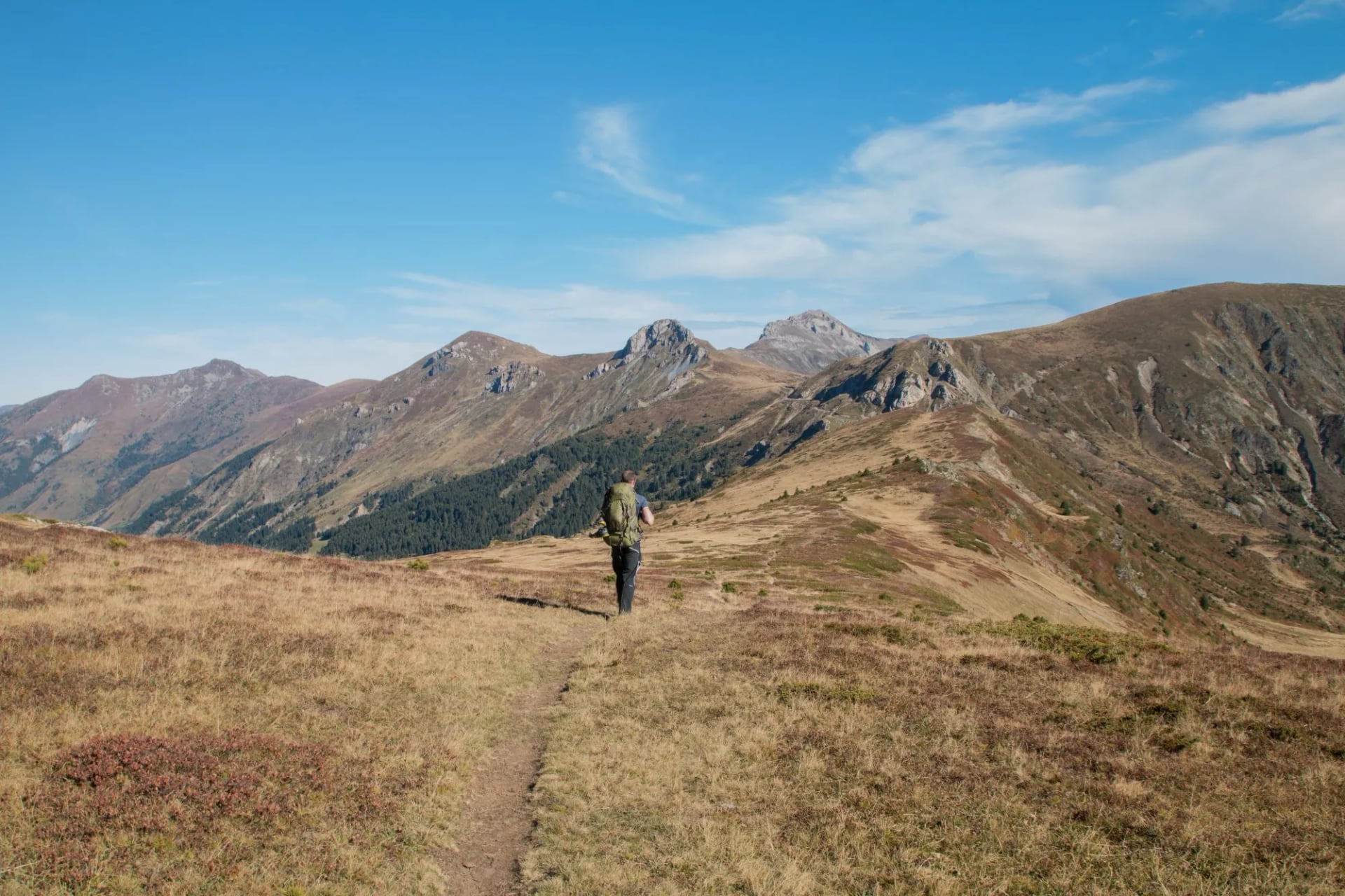
Prokletije is a category above that, with thin trails, some passes with scree, and multi-day carries between huts on the thru-hike.
The one moment worth understanding before you commit is the Bobotov Kuk cable section. The final 30–40 meters to the summit uses fixed steel cables bolted into the limestone. This is not via ferrata — you need no gear, no harness, no clip-in. It is a class 2 scramble with a handrail. Hikers with functioning hands and a head for exposure clear it comfortably. Hikers with genuine vertigo turn around at the base of the cables and walk down; the view from that point is already the walk's payoff. The exposure lasts fewer than ten minutes.
The other occasional, and entirely avoidable hazard is the livestock guardian dog — large, white-coated, and stationed at every occupied katun to defend the sheep from wolves and bears. They are not aggressive by default, but they are large and territorial. Do not run, do not stare, and let the dog inspect you at its pace. If a shepherd is present, wait for them to call the dog off. This is a common encounter on Montenegrin trails, and it is easily manageable once you know the protocol.
Getting There & Around
Podgorica is the main international airport, roughly 12 kilometers south of the capital and served by regional carriers. Tivat, closer to Kotor, handles more summer coastal traffic and sits eight kilometers from the old town. Both airports have direct connections to Belgrade, Frankfurt, Istanbul, and Vienna, with seasonal flights to London and Rome.
Bus is the backbone of internal transport. From Podgorica to Žabljak (the Durmitor gateway) it takes about three hours through Kolašin. Podgorica to Kolašin has a more frequent connection. Kolašin to Plav (the Prokletije gateway) runs about five times a day. Buy tickets at the station kiosk in cash — drivers rarely accept cards. The scenic option is the Belgrade–Bar railway through Kolašin, one of Europe's most spectacular mountain lines.
Once you are in the mountain towns, taxis fill the last-mile gap to trailheads. From Žabljak, a shared taxi to Sedlo pass can be taken; call the driver the night before by WhatsApp. Kotor is walkable to most trailheads; Lovćen needs a taxi or rental car from Kotor or Cetinje.
Currency and cash
Montenegro uses the Euro despite not being in the Eurozone (it adopted the currency unilaterally in 2002). ATMs are reliable in Žabljak, Podgorica, Kolašin, and Kotor. In Plav and Gusinje, expect one working ATM and long queues. In Njeguši and at the katuns, cash is the only option — bring what you need before leaving Plav.
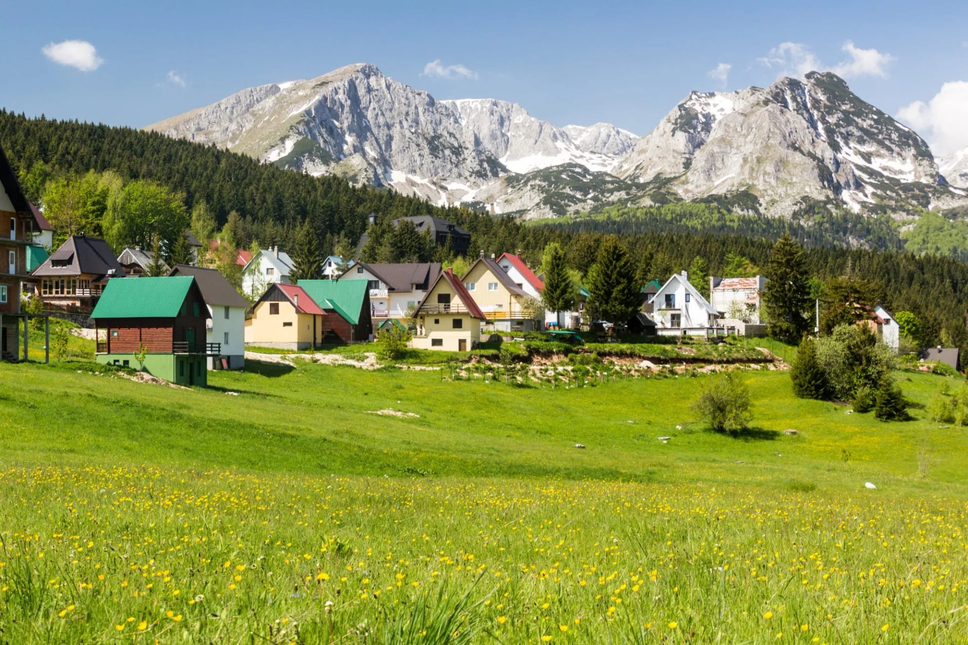
Four towns anchor almost every Montenegro hiking itinerary. Each has a distinct feel, altitude, and role — pick your base by which region you are walking.
What May Surprise You
Even experienced hikers arrive with a few assumptions about Montenegro that need adjusting on the ground.
The permits are not one document
Applications for the Peaks of the Balkans require a separate submission to each of the three countries the trail crosses. Most agencies handle the paperwork; solo walkers manage it themselves, but need to start two to eight weeks before departure and be ready for slow email replies from the Montenegrin office in particular.
Storms are a daily rhythm, not a warning
In Durmitor and Prokletije from mid-July through August, afternoon thunderstorms are the default. This is not a possibility to plan around — it is the working assumption. Local guides start hikes at five or six in the morning and are off the ridges by one in the afternoon. Plan the same way.

Wild camping is officially banned in the national parks
Enforcement is uneven, but the polite move is to use marked bivouac sites near huts, or the huts themselves. In shepherd country, always ask before pitching within sight of a katun.
Phone signal disappears fast
Coverage is decent in Durmitor around Žabljak and the Black Lake loop; the moment you cross Sedlo pass or head into Prokletije it thins to nothing. Download offline maps before you start. GPX files matter more here than in the Alps.
Katun hospitality has its own code
Knock, greet, accept the offer of rakija (or sip it politely — a full pour is not compulsory), and leave a small cash tip if you eat or sleep. English is rare. A smartphone translator and three memorised phrases go a long way.
Ready to Walk?
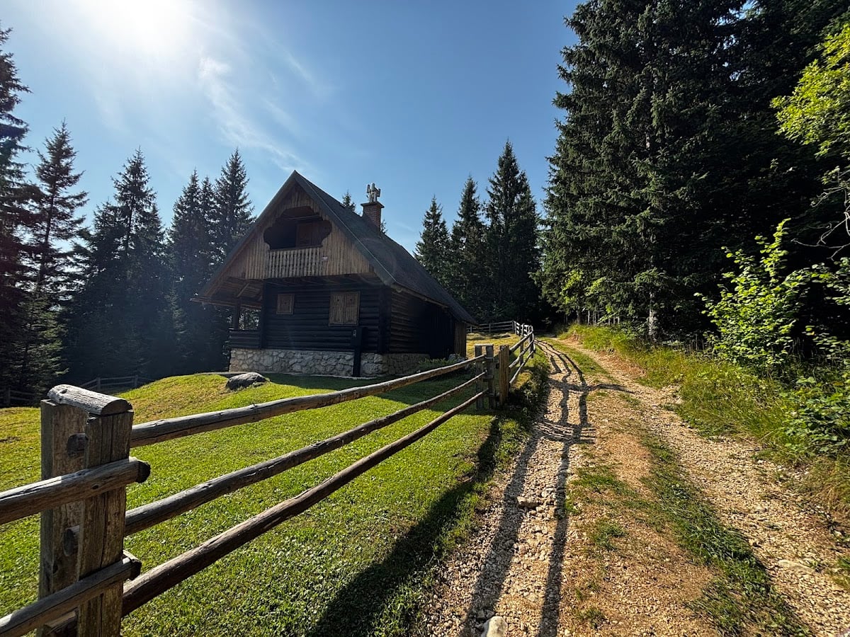
We build self-guided Montenegro itineraries for hikers who want the walking to be the part they do — not the planning. Every tour includes handpicked mountain hotels, guesthouses, and katun stays; a detailed digital guidebook with GPS files; luggage transfers between overnights; and on-trip support by phone or WhatsApp. You walk; we handle:
Accommodation booking at every stage, including the huts that do not take online reservations
GPS files, route notes, and turn-by-turn directions for every hiking day
Border permits for the Peaks of the Balkans, all three countries
Airport transfers and inter-stage taxi coordination
A 24/7 support line during your walk
Whether you want five days in Durmitor, twelve days on the full Peaks of the Balkans loop, or a slower week combining the Bay of Kotor and Lovćen, our full Montenegro range covers the country's three regions in one place. For readers unsure how a self-guided tour actually works, Self-Guided Tours Explained breaks down the concept end to end.
And if you are still deciding between Montenegro and its neighbours, our Albania hiking destination page covers the other half of the Accursed Mountains, and Bosnia rounds out the Dinaric-Alps triangle.
Frequently Asked Questions

About this author
Jon is our travel advisor and an outdoor adventurer who is happiest on the move. While mountain biking is his personal passion, he thrives on crafting hiking adventures for others — planning routes and adding the little touches that turn a trip into a core memory.













.jpg&w=828&q=75)












































.jpg&w=828&q=75)























