Ultimate Guide to Hiking in Croatia: Trails, Peaks, Coast
Everything you need to know before trekking in Croatia — the Velebit and Biokovo ranges, national parks, Istria's vineyard trails, and island walking

Jon
Published August 24, 2026
Edited August 24, 2026
11 min read
Don't want to read all this?
We've planned 2,000+ hiking trips. Send your dates, fitness and group size — we'll map the route and book every night.



Croatia has a reputation problem. Ask most travelers what they associate with the country and you'll hear the same three answers: beaches, Dubrovnik, and Plitvice. Almost none of them mention that Croatia is one of the most undersold hiking countries in Europe — limestone mountains rising straight from the Adriatic, medieval hill towns above vineyard trails, and a chain of islands you can walk under pine cover.
Croatia's 5 Top Hikes
If you do just a handful of things here, make them these:
The Premžuić Path (Velebit) — the country's signature long-distance trail: 57 km of hand-laid stone along a limestone ridge, the sea on your right most of the way, huts spaced a day apart. 4–5 days · moderate
Biokovo's Sveti Jure ridge — the most sustained sea-view hiking in Croatia, to a 1,762 m summit straight above the Makarska Riviera. Full day · demanding
Plitvice & Krka — the famous terraced lakes and travertine waterfalls, days of easy boardwalk walking from a coastal base. Easy–moderate
The Parenzana (Istria) — 130 km of disused railway through three countries, hill towns and vineyards, gentle the whole way. 10–12 days · easy
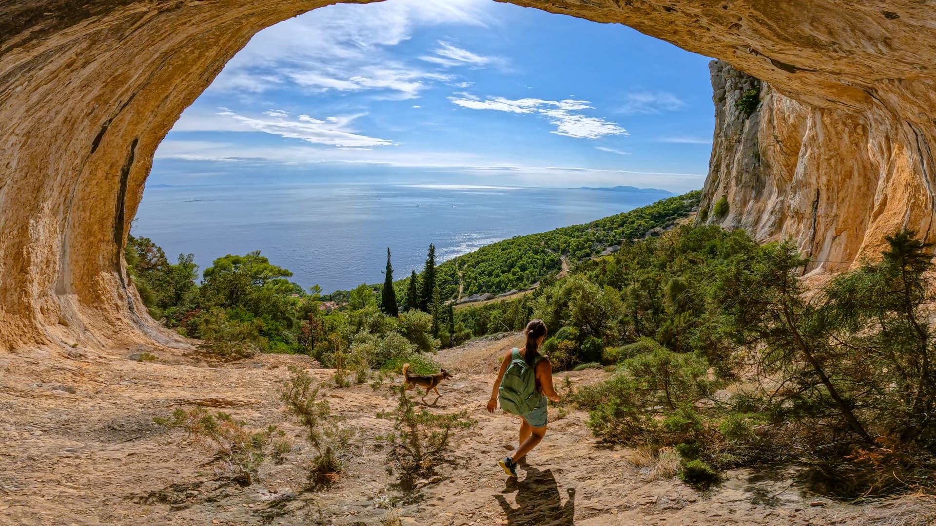
Mljet & the Dalmatian islands — marked coastal networks, salt lakes and pine-shaded shore, done island by island. Easy
The best hiking here is really four kinds of walking stacked into a narrow ribbon of country: the coastal mountains, the national parks, Istria's Mediterranean interior, and the walkable islands. Use the table to match a region to your fitness, your season, and the kind of trip you want.
The 4 Hiking Areas
Area | Difficulty | Best Season | Known For | Best For |
|---|---|---|---|---|
Mountains | Moderate to Demanding (3/5 - 4/5) | June – Early October | Premužić Path (Velebit), Sveti Jure ridge (Biokovo), Paklenica Canyons | Experienced trekkers and mountain ridge lovers |
National Parks | Easy to Moderate (1/5 - 3/5) | May – October | Plitvice Terraced Lakes, Skradinski Buk (Krka), Risnjak Forest | First-time visitors, families, and nature enthusiasts |
Istria Peninsula | Easy to Moderate (1/5 - 3/5) | April – October | Parenzana Railway Trail, hilltop towns (Motovun, Grožnjan), walk-and-wine loops | Leisurely walkers, food and wine lovers |
Dalmatian Islands | Easy to Moderate (1/5 - 2/5) | April – October | Mljet National Park salt lakes, Vidova Gora (Brač), Hvar spine path | Island hoppers, coastal path lovers, and relaxed walkers |
The rest of this guide walks through each of these in turn — Mountains, National Parks, Istria, and the Islands — area by area, with the standout trails in each.
Mountains by Foot
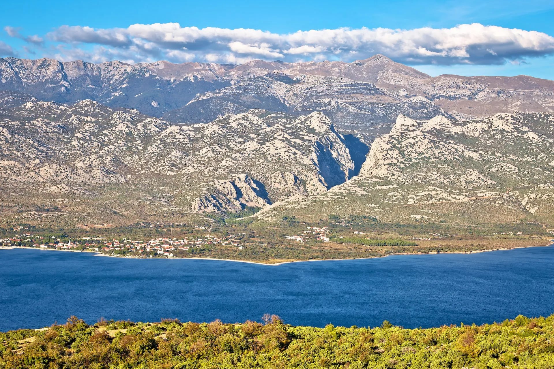
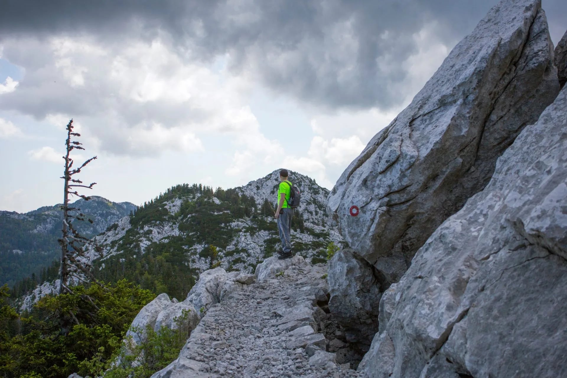
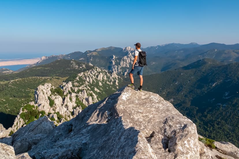
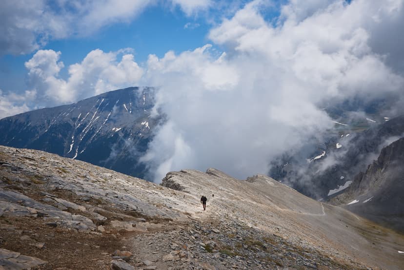
Croatia's serious walking is in three limestone ranges that all rise within an hour or two of the Adriatic. The terrain is bare karst — dry, rocky, exposed ridges where rain drains straight into the rock, and a 1,700 m edge can stand an afternoon's walk from the beach.
The walking breaks into three subareas, and water discipline runs through all of them — carry two liters minimum, three in July, and top up at every cistern.
Northern Velebit — the high northern end of the 145 km Velebit range, open limestone ridge country. Its signature is the Premžuić Path (57 km · 4–5 days · moderate): a stone-paved ridge trail built in 1930–33, huts a day apart, the sea on your right most of the way.
Biokovo — a separate wall rising straight from the Makarska Riviera south of Split. The Sveti Jure ridge (full day · demanding · 1,762 m) is the most sustained sea-view hiking in the country; the glass Skywalk at 1,228 m is the landmark, but the ridge is the reason to come up.
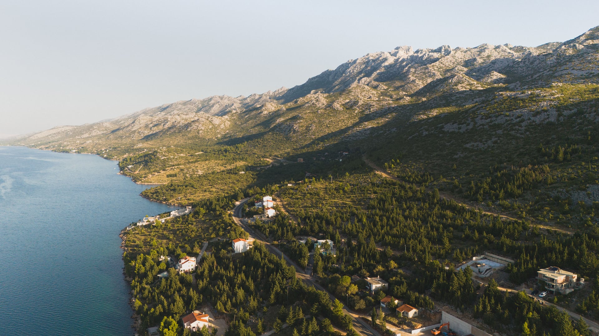
Paklenica — the Velebit's southern end, where two canyons cut inland from the coast at Starigrad, and Croatia's climbing capital. The Velika Paklenica canyon is an easy-to-moderate day under the 712 m wall of Anića kuk, and strong walkers push on to Vaganski vrh (full day · 1,757 m), the summit of the whole range.
National Parks by Foot
Croatia has eight national parks, and three beyond the Velebit chain earn a hiking trip on their own. Two are built around travertine lakes and waterfalls and one around deep forest, all of it easy to moderate, and easy to reach from a coastal base.
The three subareas are the parks themselves:
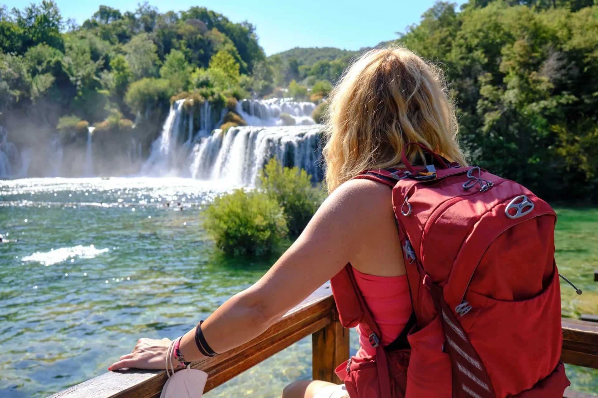
Plitvice — in the wooded interior toward the Bosnian border, the country's most-visited park. The upper and lower lakes circuit (up to ~15 km · easy to moderate) threads sixteen terraced lakes on boardwalks over the water; book timed entry slots May–September.
Krka — closer to the coast, inland from Šibenik, a gentler river-and-waterfall system. Easy loops past Skradinski Buk, the headline cascade, with the quieter Roški Slap upriver.
Risnjak — the forest mountain near the Slovenian border, cooler and greener than anything on the coast. Moderate trails through lynx, wolf and bear country, the Croatia that isn't the Adriatic.
Our self-guided National Parks trip strings Plitvice, Krka, and the quieter inland parks into one easy itinerary, with the transfers and accommodation between them handled for you.
Istria by Foot
Istria is Croatia's northwest peninsula, in the far corner where the country meets Slovenia and the head of the Adriatic. It walks more Tuscany than Balkan — rolling hills, medieval hilltop towns, vineyards, olive groves and truffle forests, with the food and wine as much the point as the trail.
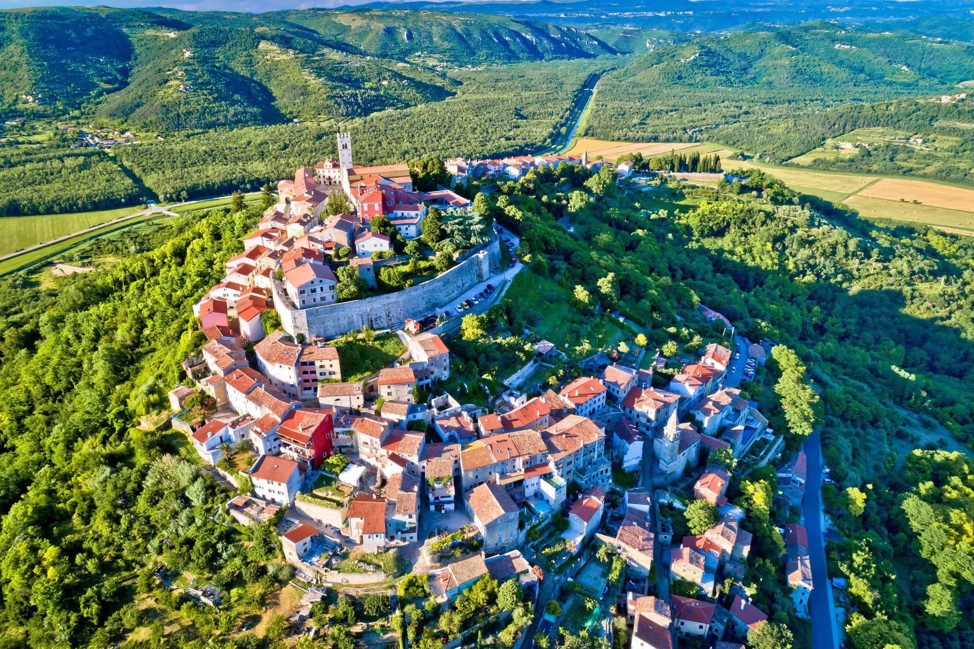
Two long routes anchor a trip here:
The Parenzana (130 km · 10–12 days · easy) — a disused 1902–1935 railway from Trieste through Slovenia to Poreč, resurfaced through 15 tunnels and dozens of stone bridges. Gentle by design, a natural first long-distance walk.
The walk-and-wine circuit (~1 week · easy to moderate) — village-to-village between wine estates, with konoba lunches and a coastal finish. The Parenzana's rhythm in a tighter arc, wine at the center.
For the version built around the estates and konobas rather than the full railway, our Walk & Wine Istria holiday keeps the days short and the lunches long.
The Islands by Foot
There's no continuous coastal footpath along the Croatian mainland: the shore is broken by working ports, the E65 highway, and cliffs straight into the sea. The coast walking is on the Dalmatian islands instead — low, pine-covered limestone, each island carrying its own marked network and best strung into a chain by ferry.
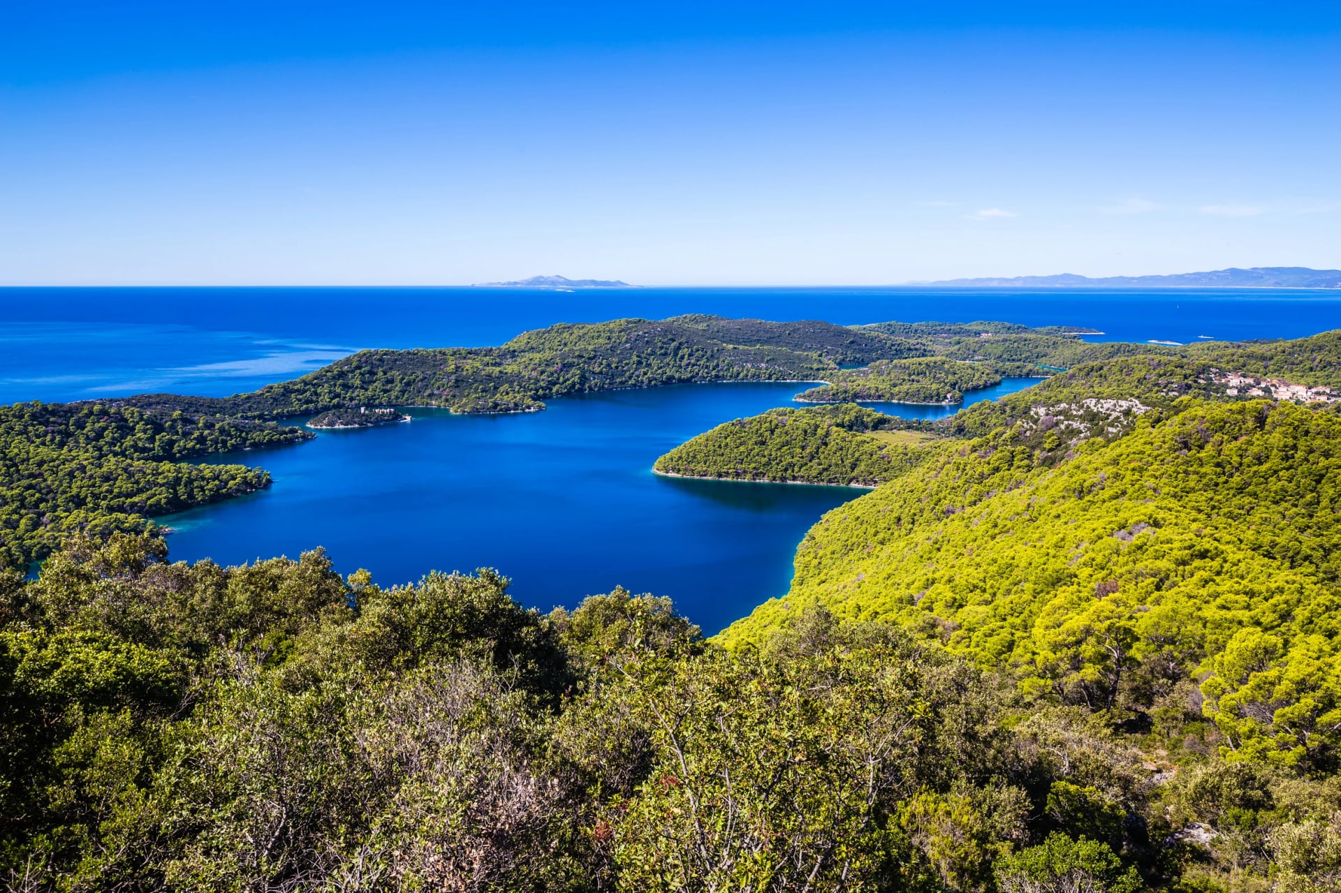
The islands carry the most established seaside walking, and they work best strung into a chain — ferries run daily spring through autumn, and a week covers three or four.
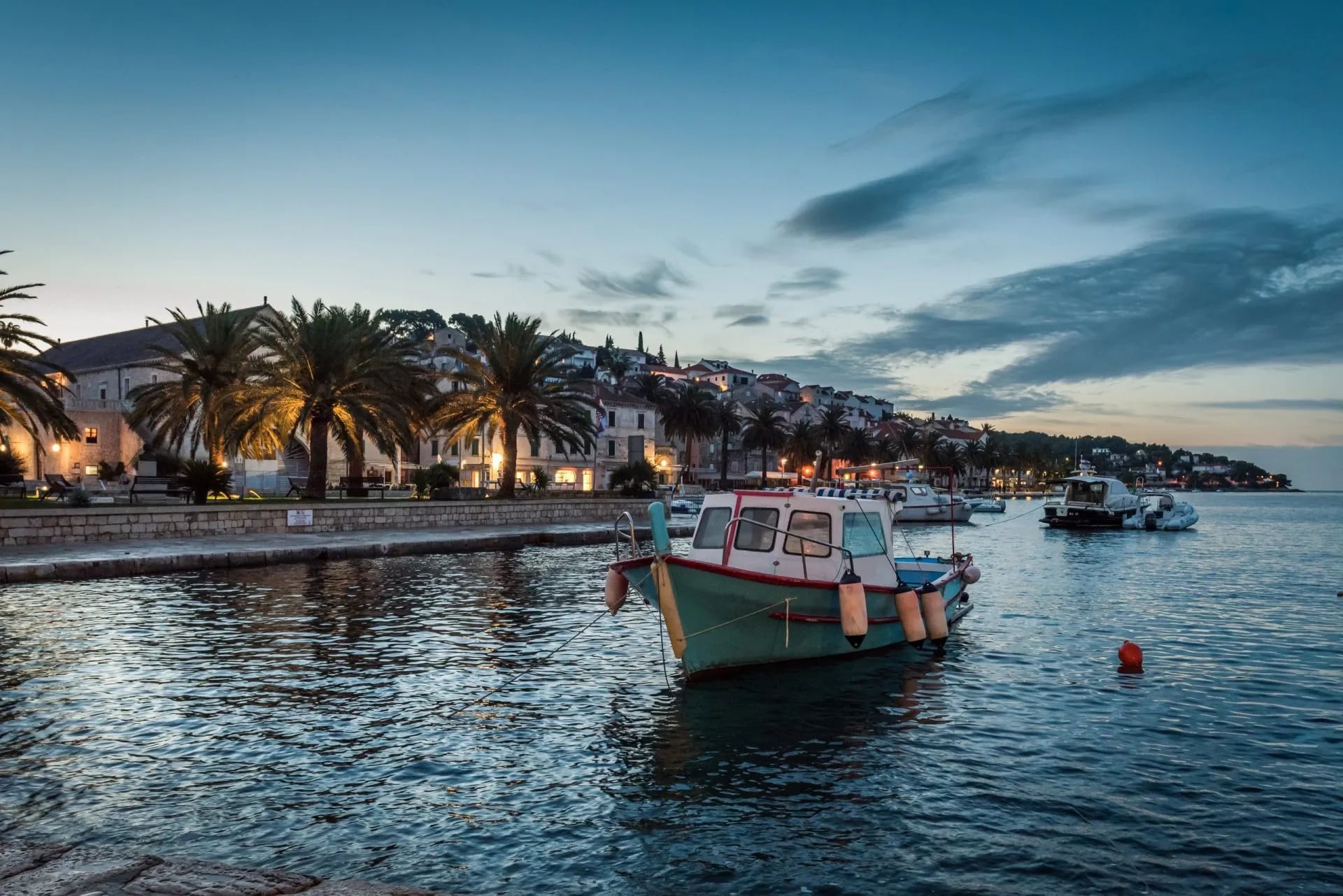
Mljet — the far western island, wrapped around the country's oldest national park. Three to four easy days around two interior salt lakes and along a pine-shaded shore.
Hvar — a long, high spine island between Split and the open sea; the Old Fortress-to-Milna traverse runs about a day, sea views for most of it.
Brač — the big island off Split, crowned by Vidova Gora (778 m, half-day from Bol), the highest island summit in the Adriatic.
Korčula & the Southern islands — Korčula and the smaller Elaphiti islands (Šipan, Lopud, Koločep) give shorter loops with Renaissance-town bases, pairing naturally with a Dubrovnik base.
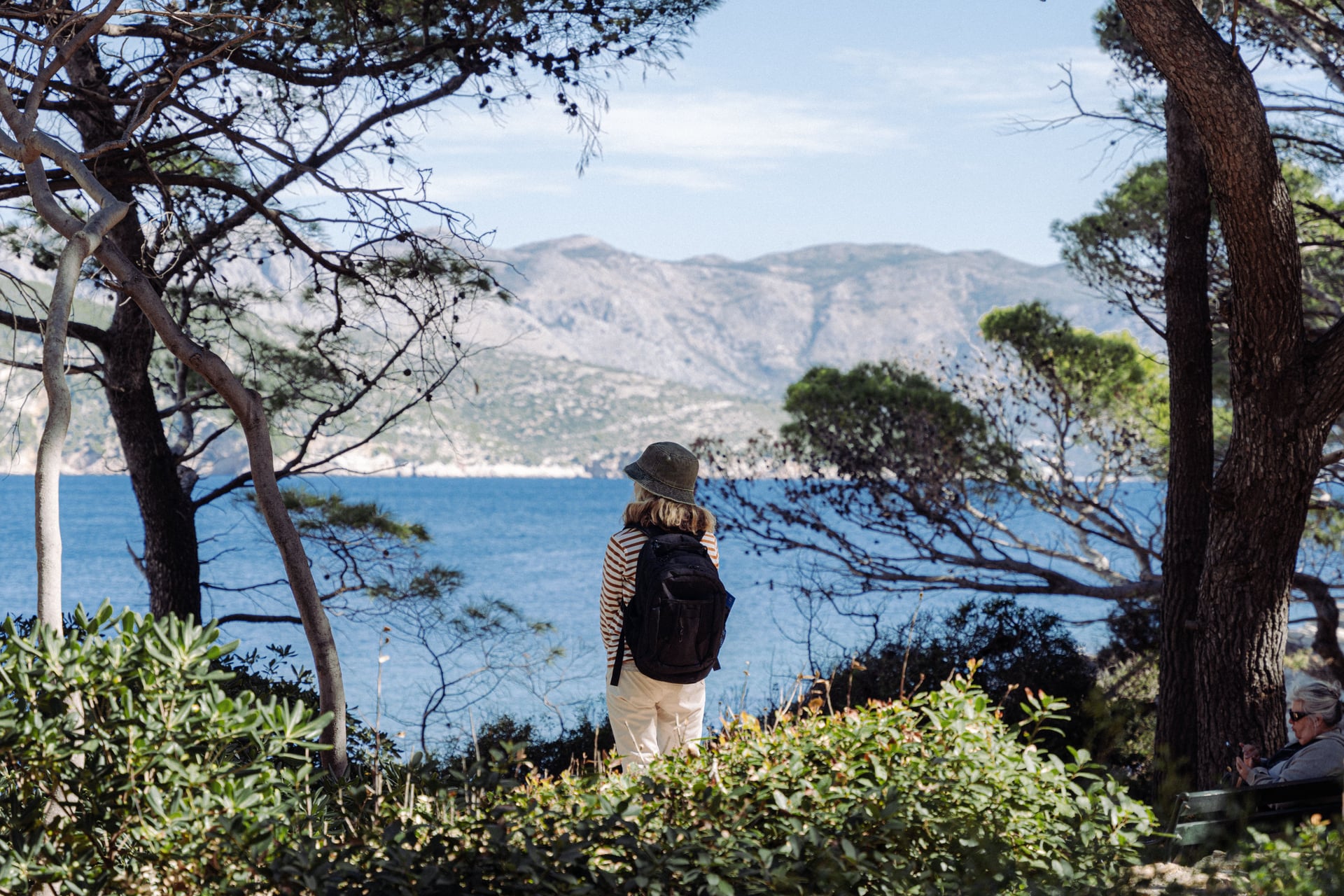
From a Dubrovnik base, our Southern islands trip reaches Korčula and the Elaphiti chain, the walking shorter and the Renaissance towns closer together.
Best Time to Go
Croatia's hiking season stretches longer than the Alps' but has two windows you should think twice about.
May and June are the best months for the mountains and inland parks. Wildflowers cover the karst, water still trickles in the higher cisterns, huts open by mid-June, and coastal temperatures stay walkable. Trails run quieter than they will in July and August.
July and August bring peak hut season and peak crowds. On the Velebit ridge this is manageable because the trail spreads walkers out. But Plitvice and Krka fill up early in the day, and the coastal walks in Paklenica and Biokovo see thirty-plus temperatures at midday. If you walk in high summer, start at dawn and be off the exposed ground by early afternoon.
April, September, and early October are the quiet sweet spots. April opens Istria and the islands with mild temperatures and empty trails. September holds warm sea, cooler mountain air, huts open through the first week of October, and Risnjak turns properly autumnal. If you have any flexibility, September is the most optimal month a trip across several regions.
Winter (December to March) closes most mountain huts. The Bura wind rakes the exposed ridges, and access roads to the higher trailheads shut. The islands and Istria stay walkable in winter — mild days, empty trails, low light — but expect closed konobas and reduced ferries.
The Weather
Two Croatian weather patterns cause more incidents than anything else on the trail.
The first is the Bura — the fierce dry wind that rolls off the interior mountains and hits the coast with hurricane force. On the Velebit ridge it can go from calm to 100 km/h in a couple of hours. It's most common between October and April, but summer Buras happen too, and they are the reason you check a mountain forecast, not a coastal one, before setting out.
The second is the summer sun on unshaded karst. Limestone reflects heat, the high ridges have no trees, and thirty degrees in Zadar becomes thirty-eight on the Premužić by midday. Every serious summer incident in the Velebit traces back to a hiker who didn't start early enough, didn't carry enough water, or both.
The rule that matters: treat Croatian ridge walking the way you would a desert march. Start at first light, carry more water than feels reasonable, and know where the next cistern is before you leave the last one.
Logistics: Huts, Cash, and Getting There
Croatian mountain huts (planinarski dom or sklonište) fall into two tiers.
The bigger domovi at Zavižan, Alan, and Velika Paklenica offer bunk rooms, cooked dinner, breakfast, and usually a beer.
The smaller skloništa — Rossi, Ograđenik, Skorpovac — are unstaffed shelters with bunks, a wood stove, and a rainwater tank; you bring your food and cook on your own stove.
Bookings go through the Croatian Mountaineering Association (HPS) or directly with the hut warden by phone. Payment is cash only in most cases. Kuna is gone since the 2023 euro changeover, so bring euros. Card readers exist at Zavižan and a couple of park visitor centres and nowhere else. Withdraw enough in Rijeka, Zadar, or Split before you head up.
How to get there
Four airports line up with the country's hiking geography:
Zadar — the practical hub for the Velebit and the Premužić. Within an hour of Paklenica, roughly two-and-a-half hours from Zavižan.
Split — Biokovo, the Krka park, and ferry access to Brač, Hvar, and the northern Dalmatian chain.
Dubrovnik — the Southern islands and southern Dalmatia.
Pula or Ljubljana — Istria, and (from Ljubljana) the Northern Velebit and Risnjak if you're arriving overland from Central Europe.
Renting a car makes trailheads flexible. If you're island-hopping, the ferry timetables do most of the work for you.
What to pack
Three litres of water capacity per person for the mountain walking — a hydration bladder plus one hard bottle.
Cash in mixed denominations for huts, small konobas below the trailheads, and the odd parking meter that still refuses cards.
Beyond those two, pack mid-weight boots (limestone is sharp and unforgiving on soft soles), a sun hat and long-sleeve UPF shirt, a lightweight windproof for the ridge, and a proper first-aid kit. The nearest hospital from the middle of the Premužić is a long drive out.
Ready to Hike Croatia?
Croatia isn't hidden. It's just not commonly visited by hikers. You can do some hard work and piece a trip together yourself — book huts and hotels, arrange ferries and transfers, buy maps, work out the water strategy for the mountain days etc. Or you can hand the logistics to our team that already knows the wardens, the shuttle drivers, and the ferry timetables.
Our self-guided trips in Croatia handle all of that:
Accommodation along the trail
Baggage transfers between road-accessible bases
GPS tracks and offline maps for every route
24/7 support
Whether you want to string together the country's national parks, walk vineyard trails in Istria, or hop between the Dalmatian islands, the itinerary matches the country's geography rather than fighting it.
Our full Croatia trip range covers every one of the four regions above, from the national-parks entry point up to the multi-country Parenzana.
Frequently Asked Questions

About this author
Jon is our travel advisor and an outdoor adventurer who is happiest on the move. While mountain biking is his personal passion, he thrives on crafting hiking adventures for others — planning routes and adding the little touches that turn a trip into a core memory.
















.jpg&w=828&q=75)














































.jpg&w=828&q=75)























