8 Best Hikes in Jasper National Park, Canada
Eight walks worth building a week around, two of them closed while the park rebuilds, and what the rest ask of you in distance, climb and trailhead access.

Jon
Published August 13, 2026
Edited September 10, 2026
22 min read
Quick links
Don't want to read all this?
We've planned 2,000+ hiking trips. Send your dates, fitness and group size — we'll map the route and book every night.



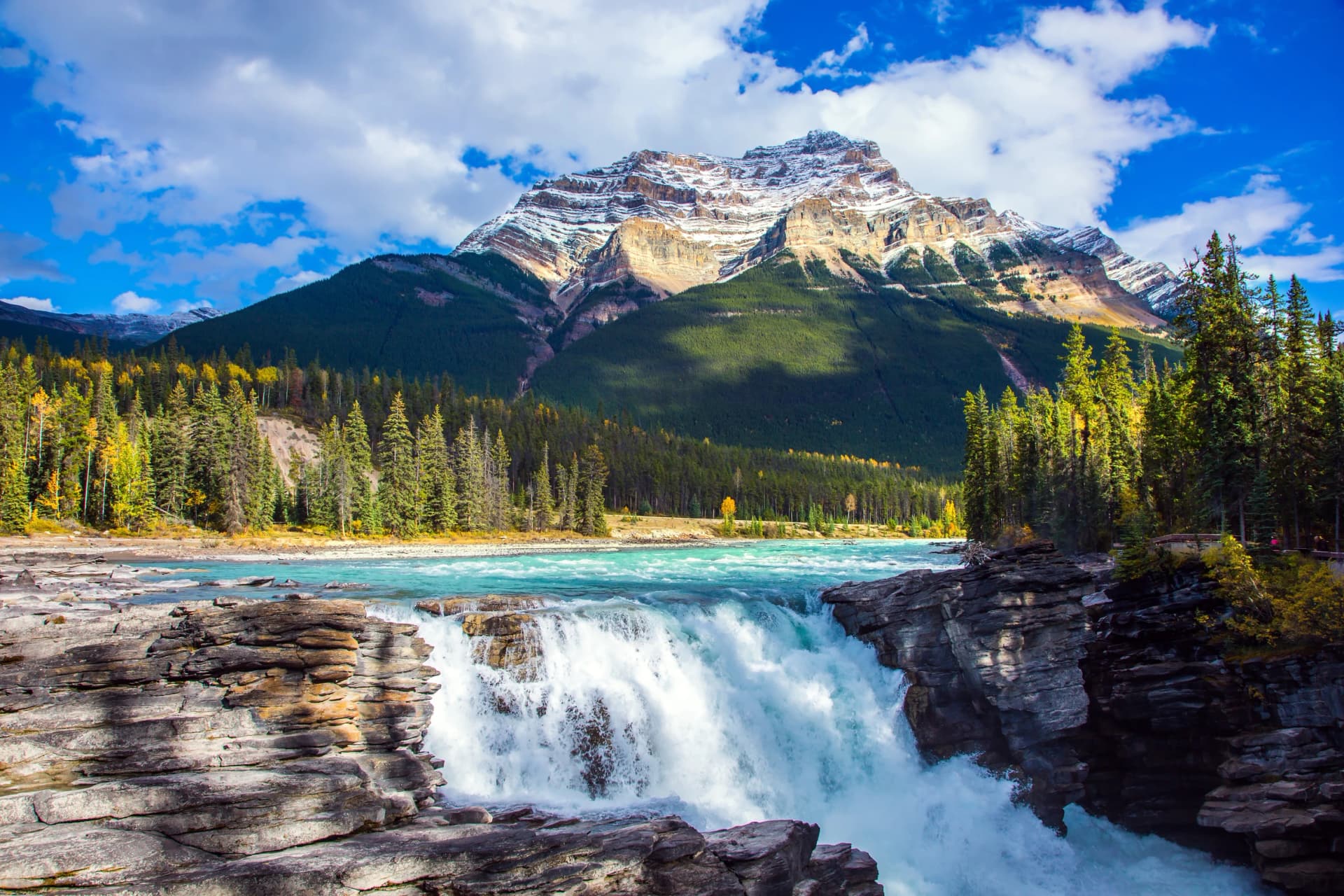
Jasper has the same mountains as Banff and a fraction of the people looking at them.
They run the same limestone spine, and they sit a few hours apart on the same road. The difference is that Jasper is the largest of the Canadian Rockies parks and has one small town in the middle of it, which means the trailhead you drive to at eight in the morning is frequently yours.
That size cuts both ways. You will drive further between walks than you would in Banff, and the distances on the map are real distances. But it also means that a single week from one hotel can put you on four completely different kinds of ground, and that the good stuff does not require queueing for it.
What Jasper does better than anywhere else in the Rockies is the long day above the treeline. Not a summit push and a scramble down, but hours of continuous walking on open ridge with nothing above you but sky. That is the thing worth planning a trip around, and this guide is built around it.
If you are still weighing up Canadian regions, our ultimate guide to hiking in Canada sets the Rockies against the Coast Mountains.
The Best Hikes in Jasper
These are the eight walks worth building a week around. Most of them are not on any tour we sell, and two of them closed while the park rebuilds, which is said here rather than quietly skipped. Parks Canada revises closures as the work progresses, so check trail conditions before you travel.
The Skyline Trail
Distance: 44.1 km
Ascent: 1,410 m, with The Notch at 2,511 m
Access: Maligne Lake trailhead, backcountry permit and campsite booking required
Jasper's signature route and one of the great ridge walks in North America. Around 44 kilometres from Maligne Lake to Maligne Canyon, and the reason it is famous is that the great majority of it sits above the treeline, including a high point at The Notch that feels considerably more serious than the numbers suggest.
It is normally walked over two or three days with backcountry campsites booked well in advance, and the bookings go the day the reservation window opens. Weather is the real constraint rather than fitness: there is no way off the middle of the route quickly, and being caught high on it in a storm is the scenario every local warns about.
The Whistlers Summit Trail
Distance: 16.5 km
Ascent: 1,330 m
Access: Whistlers trailhead in town, with the tram an option for the descent
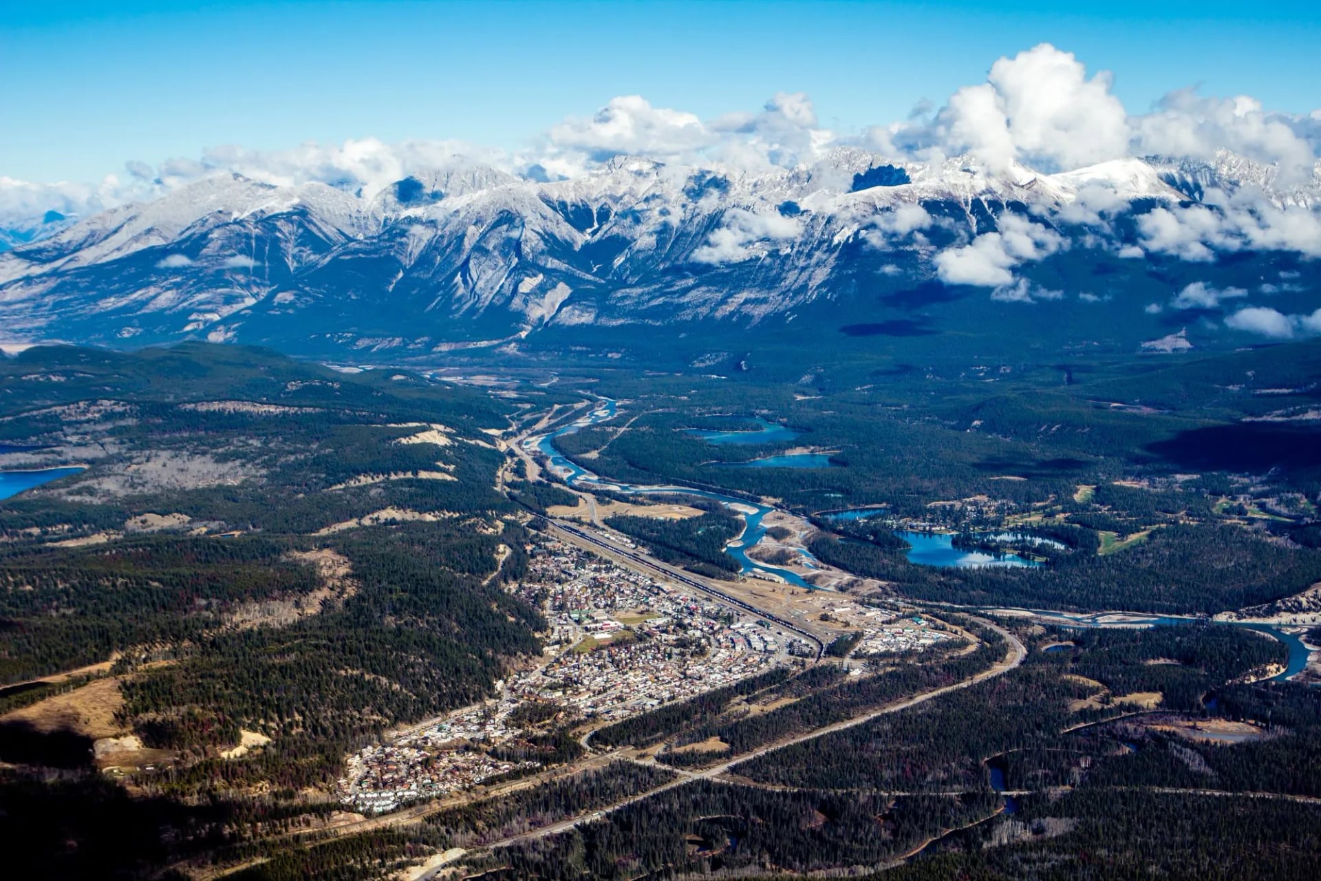
The classic Jasper leg-burner, and the one our own week uses. The trail climbs the flank of Whistlers Mountain from the valley to the summit ridge, and the reward is a full three-hundred-and-sixty degree view over the Athabasca valley and out to the ranges beyond.
At 16.5 kilometres and 1,330 metres of climbing it is the hardest day in this guide by ascent, and it is relentless rather than technical. A tramway runs up the same mountain, which means you will meet people at the top wearing sandals, and you can ride down if your knees have had enough.
Sulphur Skyline Trail
Distance: 8 km return
Ascent: 700 m
Access: Miette Hot Springs trailhead, pools open 11:00 to 21:00 until 12 October
The best value in the park: a short, steep climb from Miette to a bare summit with a view down two valleys that would ordinarily cost you a full day elsewhere. It is roughly eight kilometres return with about 700 metres of climbing.
The gradient is uncompromising and there is no shade on the upper half, so it is a morning walk rather than an afternoon one. The hot springs at the bottom are the obvious reward, and the pools open at 11:00 and run to 21:00 until 12 October, which is another reason to walk it early and soak afterwards.
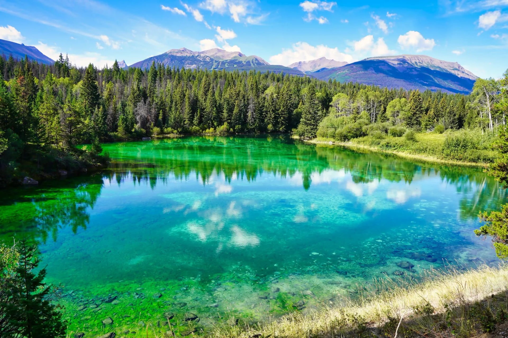
Valley of the Five Lakes
Distance: 4.5 km for the core loop, 19 km as our week links it
Ascent: 66 m for the loop, 580 m on our day
Access: Icefields Parkway trailhead, Trail 9 closed with about 1 km rerouted onto the ridge
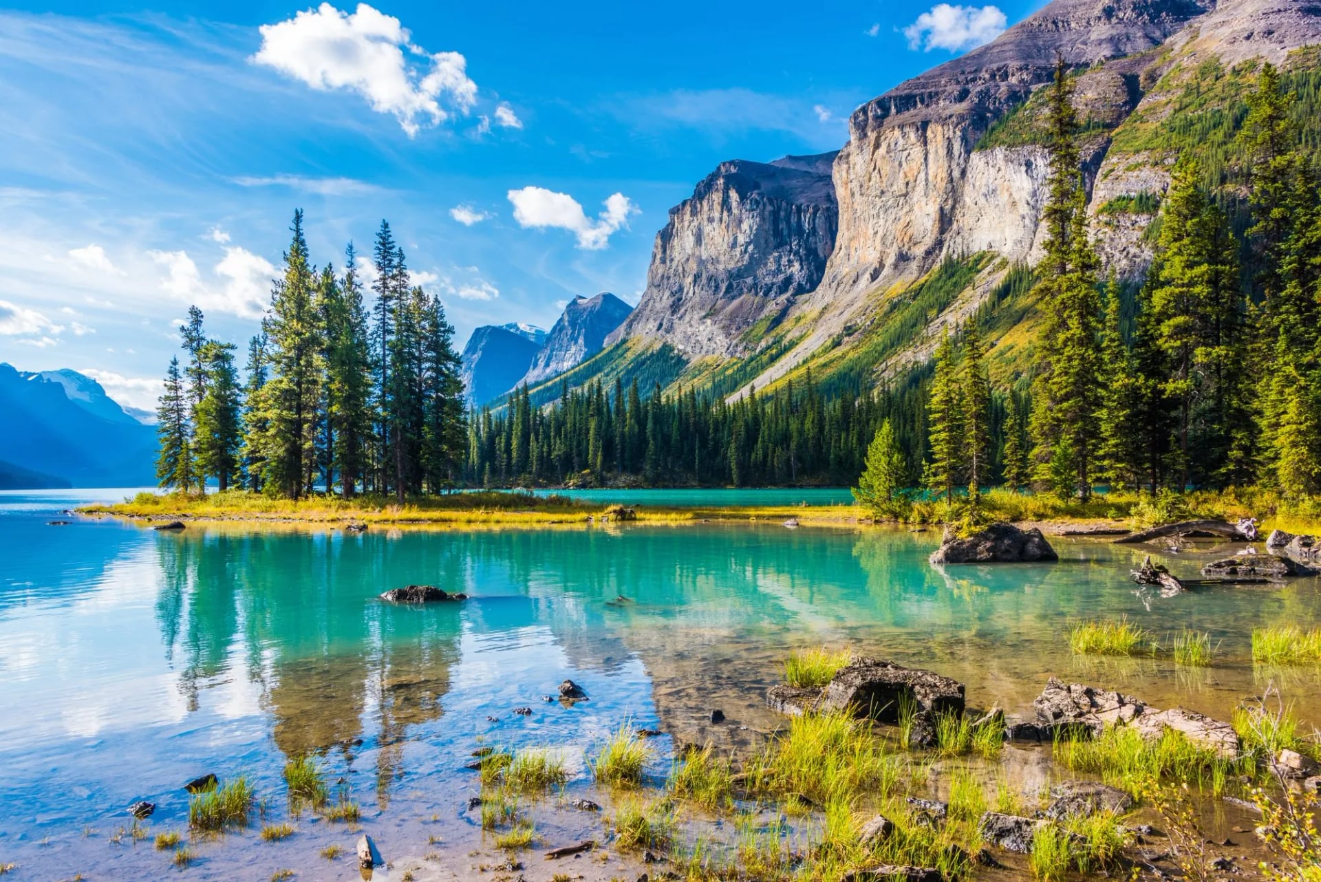
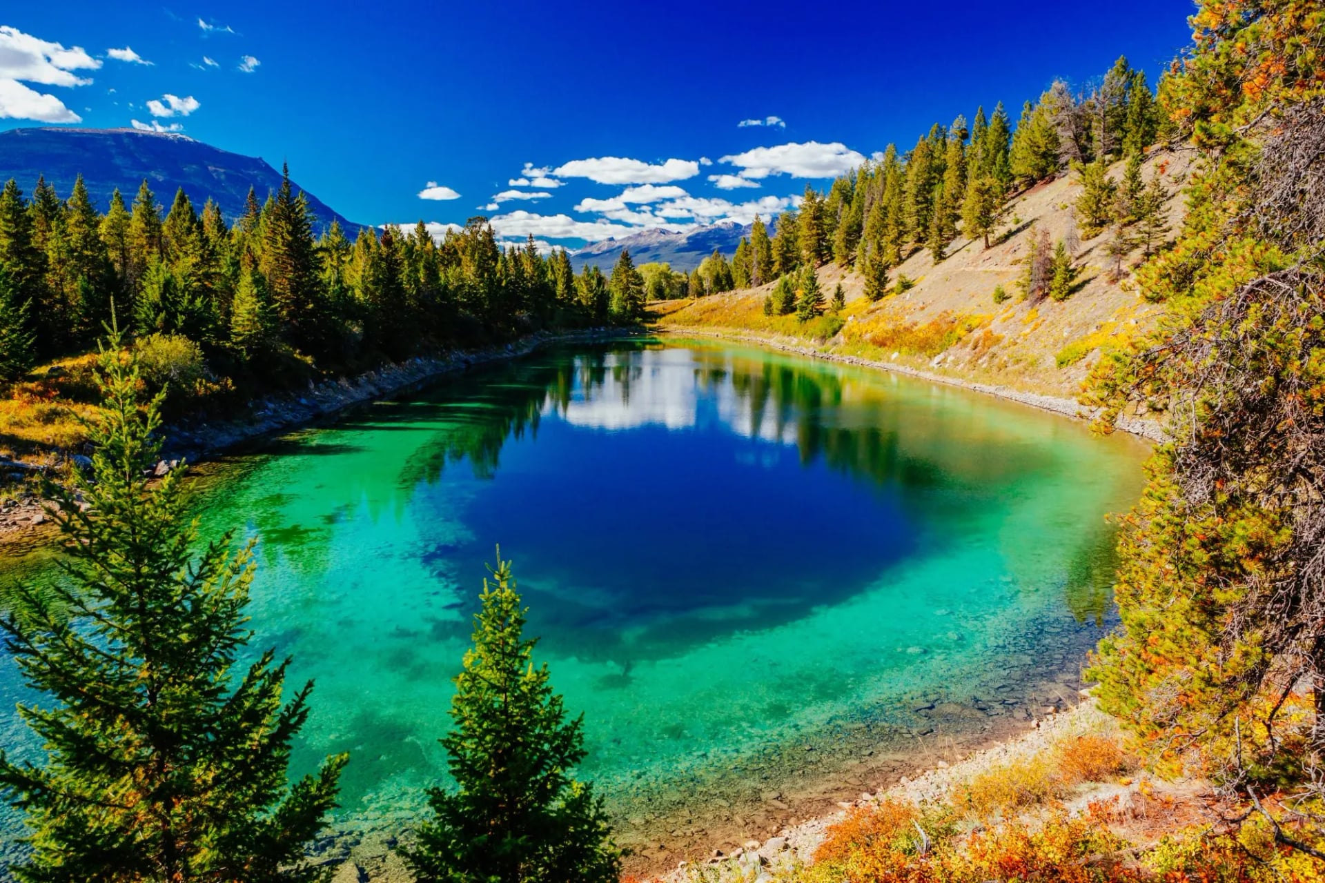
The gentlest good walk in Jasper and a highlight rather than a consolation. Five small lakes sit in a chain in the forest, each a noticeably different colour, and the loop between them is short, undulating and endlessly photogenic.
Our own week walks it as a 19 kilometre day with 580 metres of climbing by linking it into the wider trail network, though the core loop alone is much shorter. Sections have been rerouted onto low ridges with steps added, which improved the views considerably on what used to be a flat forest walk.
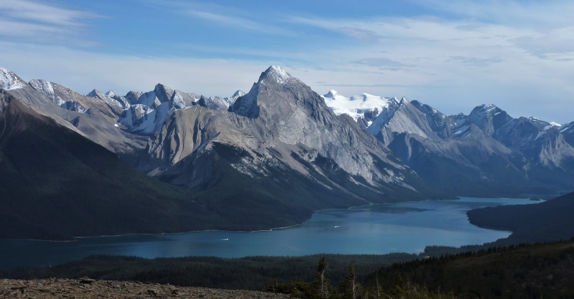
Bald Hills at Maligne Lake
Distance: 10 km return to the lookout, 14 km to the north summit
Ascent: 495 m to the lookout, 625 m to the summit
Access: Maligne Lake trailhead
The best half-day introduction to what Jasper does well. A steady climb on an old fire road, then open alpine meadow with the whole of Maligne Lake laid out below and the Queen Elizabeth Ranges opposite.
Once you reach the meadow you can turn round or keep going along the ridge for as long as you like, which makes it the most flexible day in the park and a good choice when the forecast is uncertain. Not on our itinerary, and worth adding a day for.
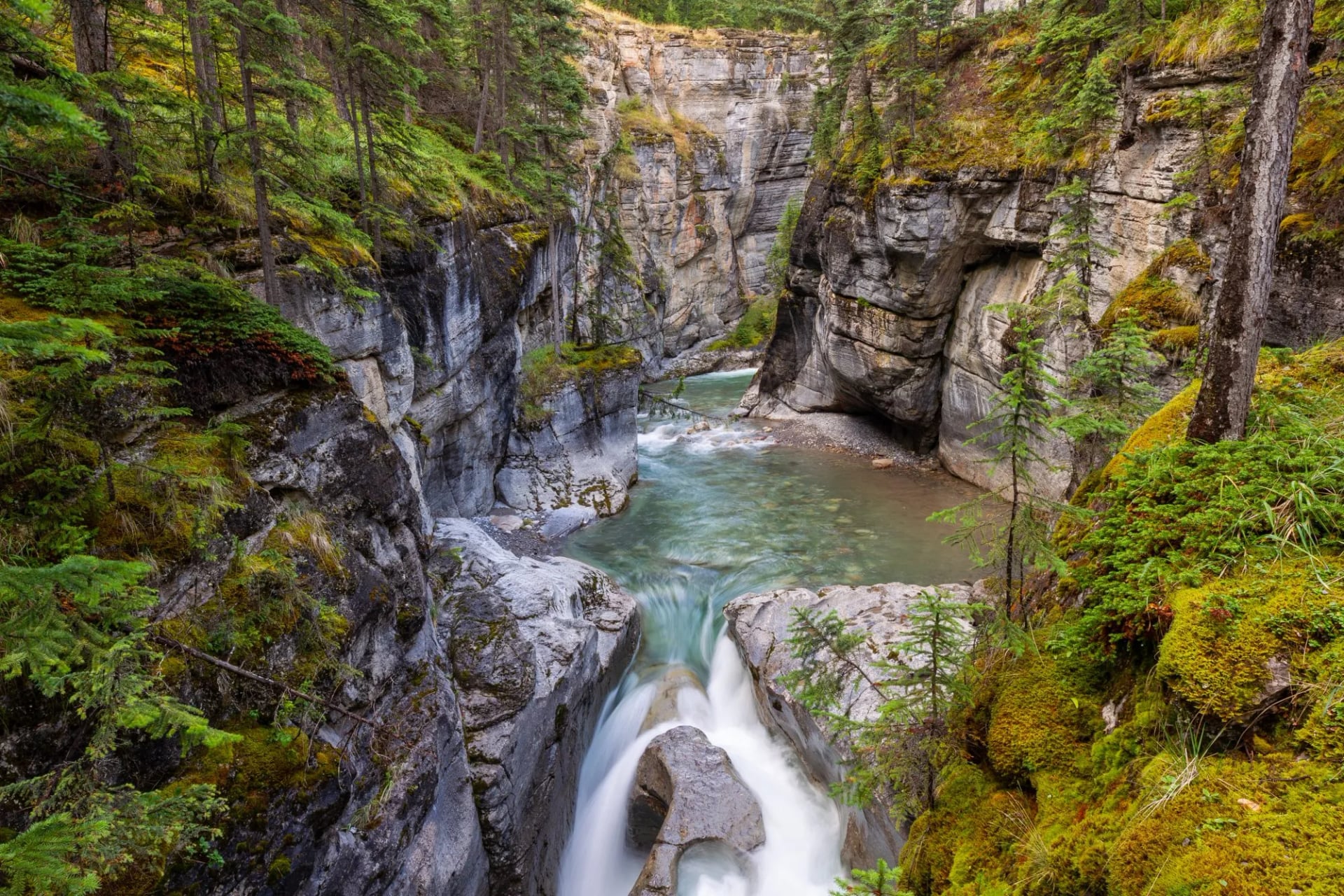
Maligne Canyon
Distance: 3.9 km loop, or 6.9 km out to Sixth Bridge
Ascent: 133 m
Access: closed while the ground above the gorge is stabilised
A limestone gorge cut so narrow and so deep that the footbridges over it feel like a stunt, with the water audible long before you see it. In ordinary times it is the most-walked short trail in the park and the one every visitor does on their first afternoon.
The trail has been shut since the 2024 wildfire while Parks Canada assesses slope stability and plans the rehabilitation work the site needs. The canyon itself is unchanged; the closure is about the ground and the trees around it rather than the gorge, and it is worth knowing what you are missing and worth knowing it is temporary.
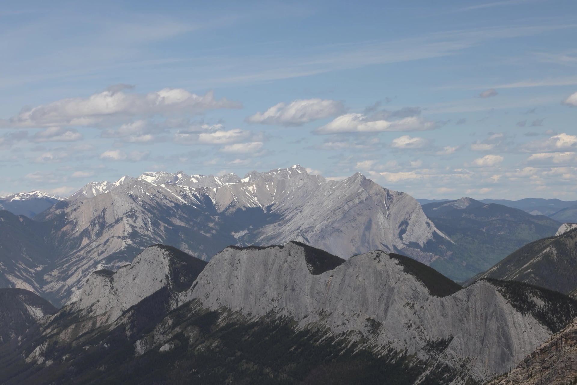
Mount Edith Cavell
Distance: 1.6 km for the Path of the Glacier loop, 7.7 km for Cavell Meadows
Ascent: 70 m to Cavell Pond, 553 m for the meadows
Access: closed while Cavell Road is shut
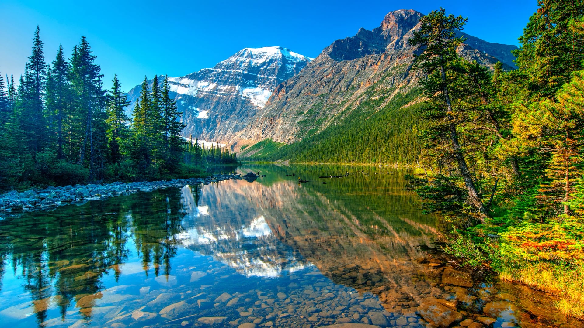
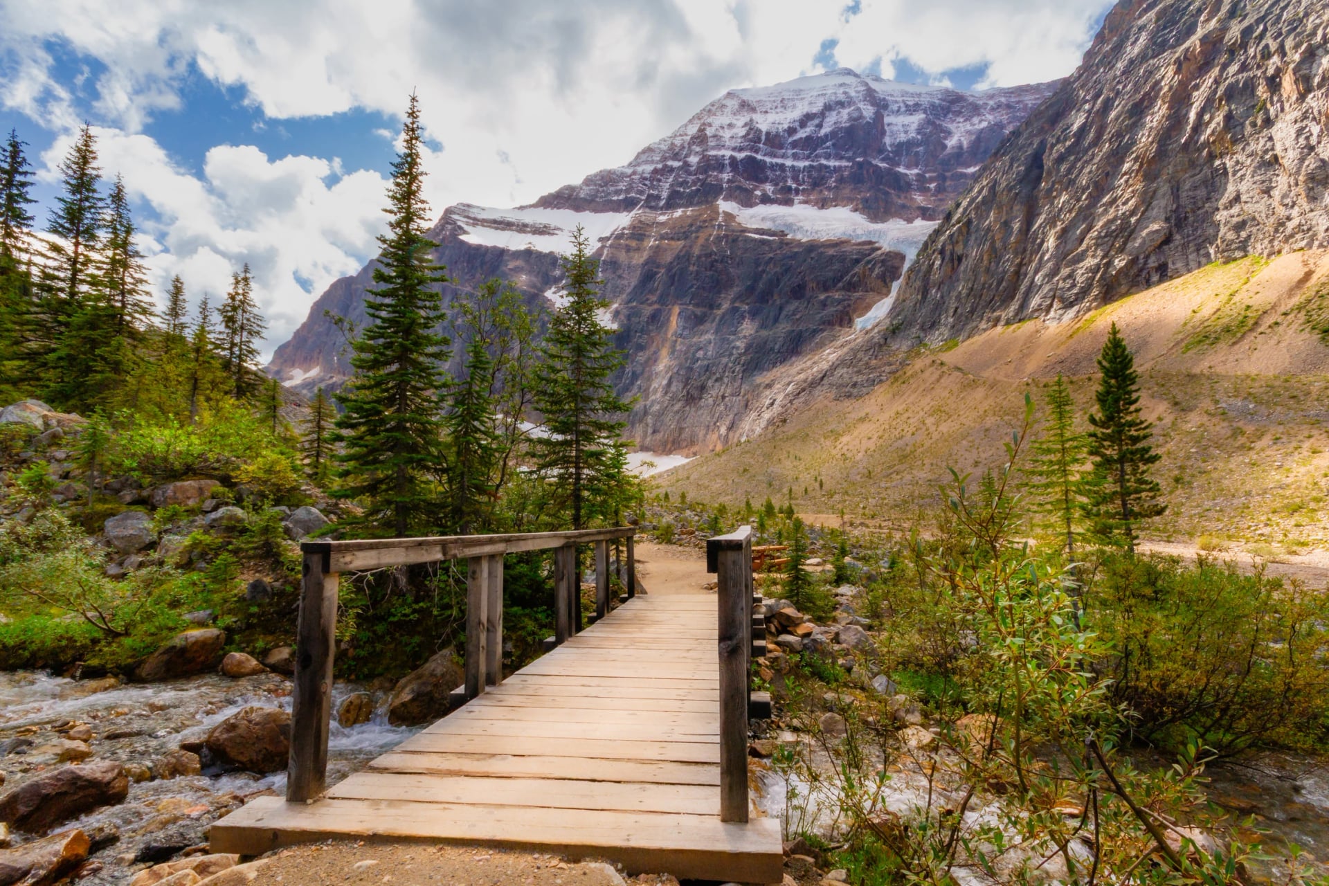
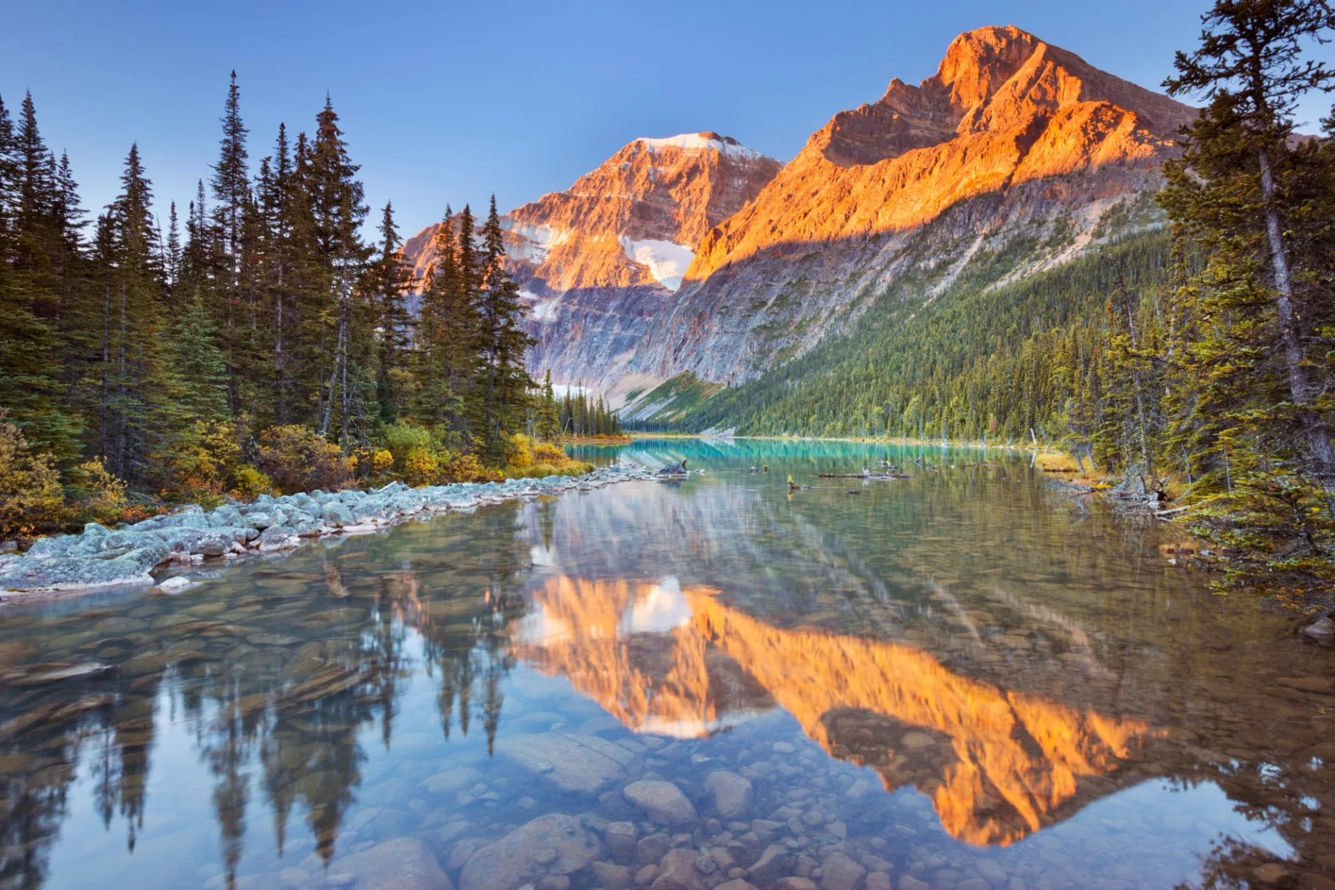
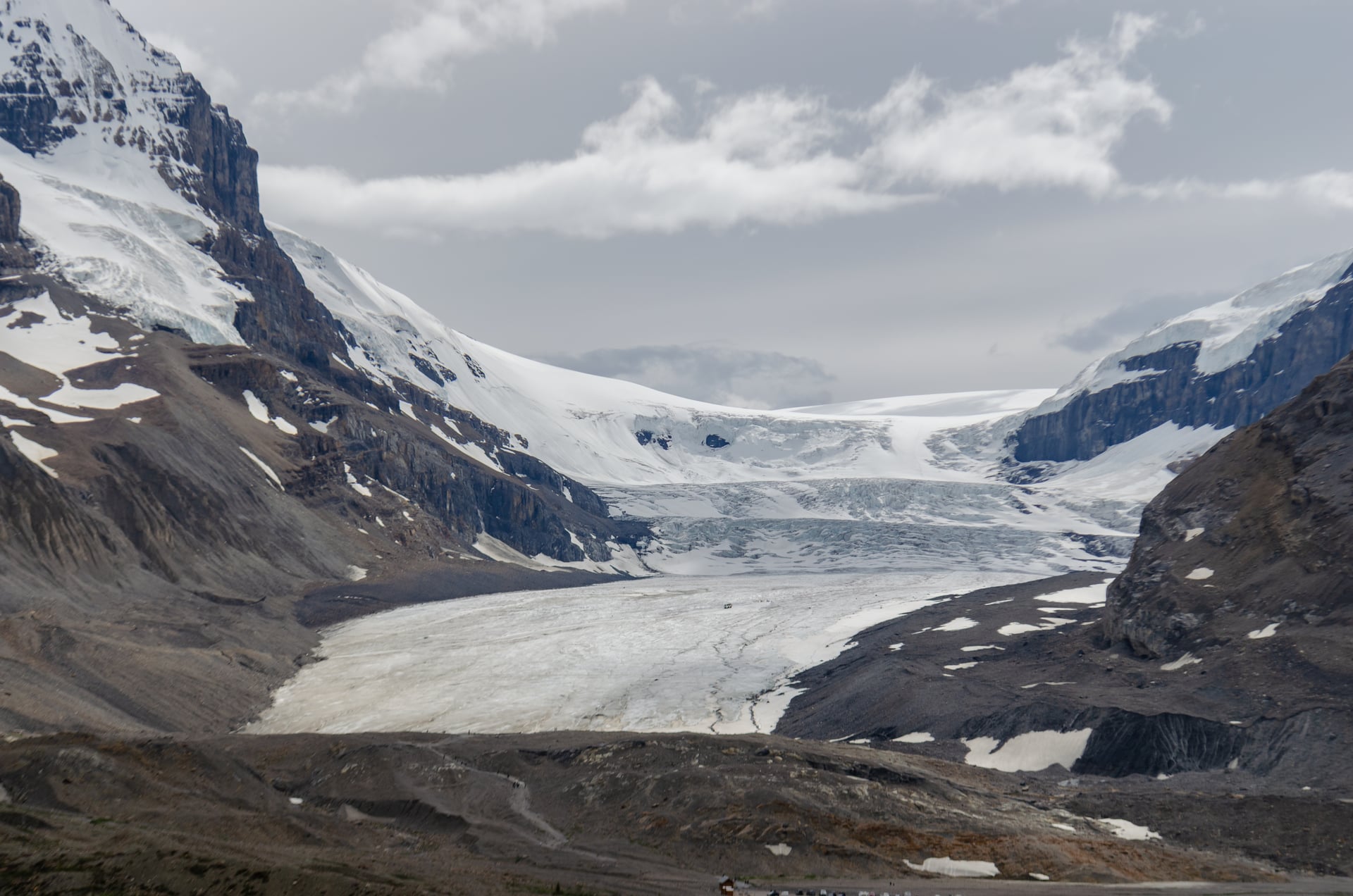
The most dramatic roadside mountain in the park, with the Angel Glacier hanging in a bowl beneath the north face and a moraine trail leading to a meltwater lake that carries small icebergs well into summer. Cavell Meadows above it is one of the finest wildflower walks in the Rockies. Cavell Road is closed, which takes the moraine trail and Cavell Meadows with it, for the same slope-stability work as Maligne Canyon.
Tonquin Valley
Distance: 36 km return to Amethyst Lakes
Ascent: 700 m to Maccarib Pass at 2,205 m
Access: Portal trailhead only while Cavell Road is shut, and no access from 1 November to 15 May
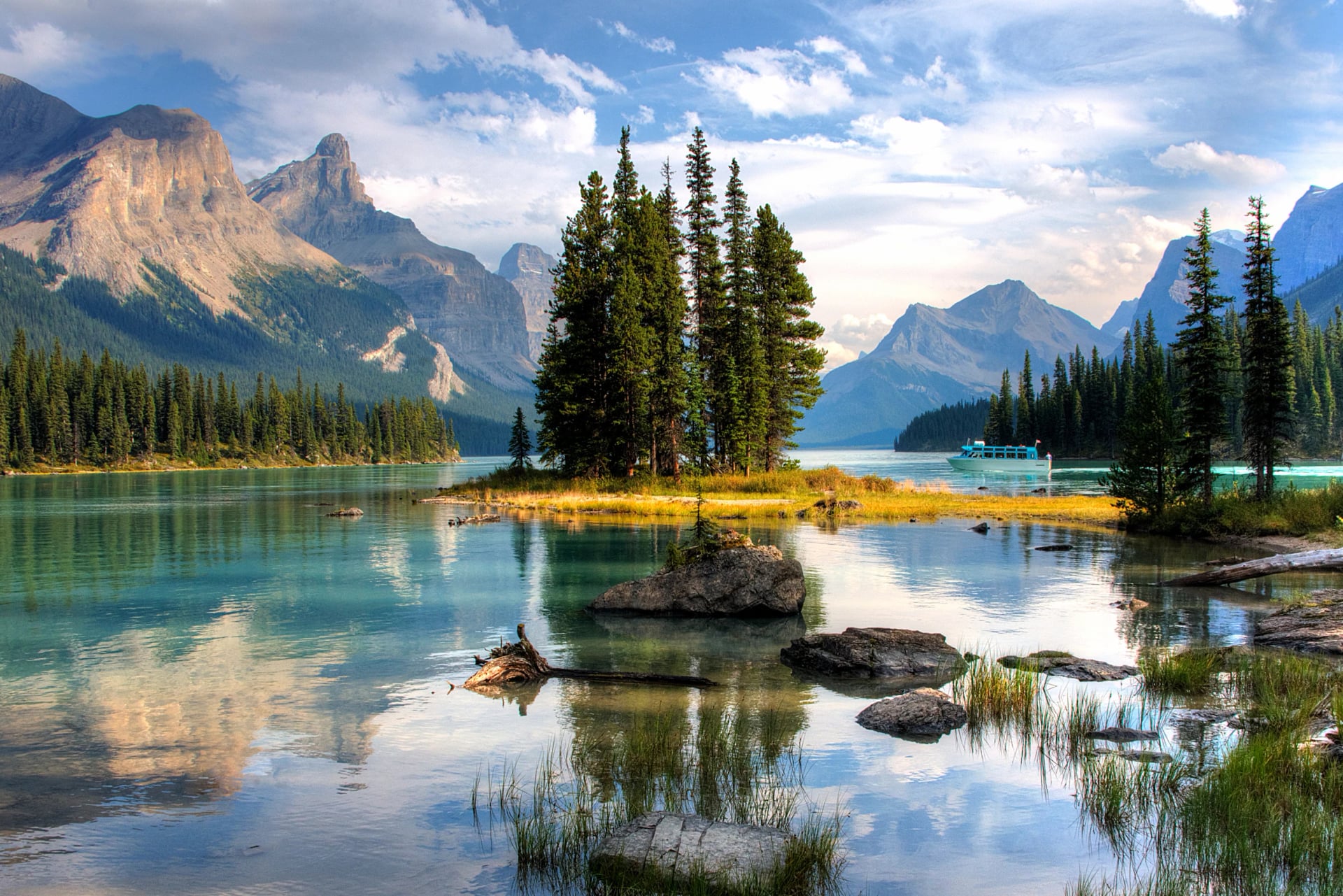
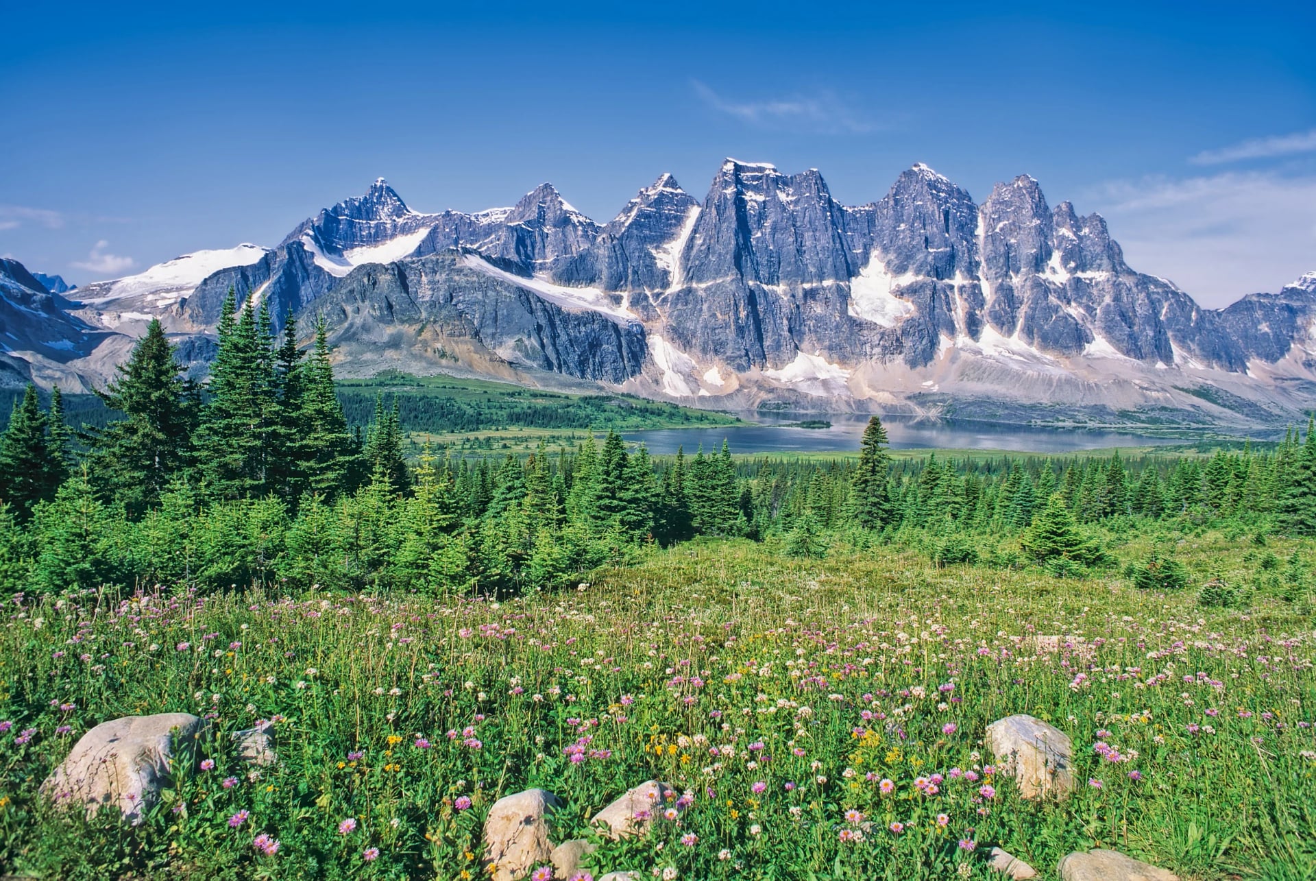
The park's great backcountry set piece: a long walk in to a chain of lakes beneath the Ramparts, a wall of quartzite peaks that rises straight out of the water. It is a multi-day trip, famous equally for its scenery and for its mosquitoes.
Tonquin also sits inside a caribou range, which governs access even in a normal year, and that is covered further down because the reasoning behind it is worth knowing. The valley is reached from the Portal trailhead only, because the usual Astoria approach runs off Cavell Road, and there is no access at all from 1 November to 15 May.
Where to Hike in Jasper: Valley Floor to Ridge Line
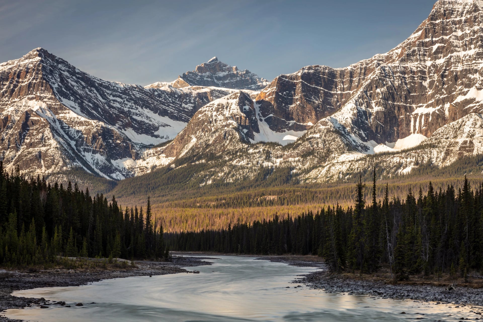
Jasper sorts itself by height more cleanly than most mountain regions, and the band you pick decides everything else about the day. The four below are not four areas, they are four altitudes, and most of them are reachable from the same town on the same morning.
Use them to match the day to the group rather than to the map. A party split across the valley floor and the ridge line can still be back at the same table by seven.
The Valley Floor: Lakes, Canyons and the Athabasca
The bottom band runs along the Athabasca valley and around the lakes, and it is where most first days and most recovery days happen. Montane forest, lakeshore paths, river benches and canyon rims, almost all of it walkable in a morning and much of it flat.
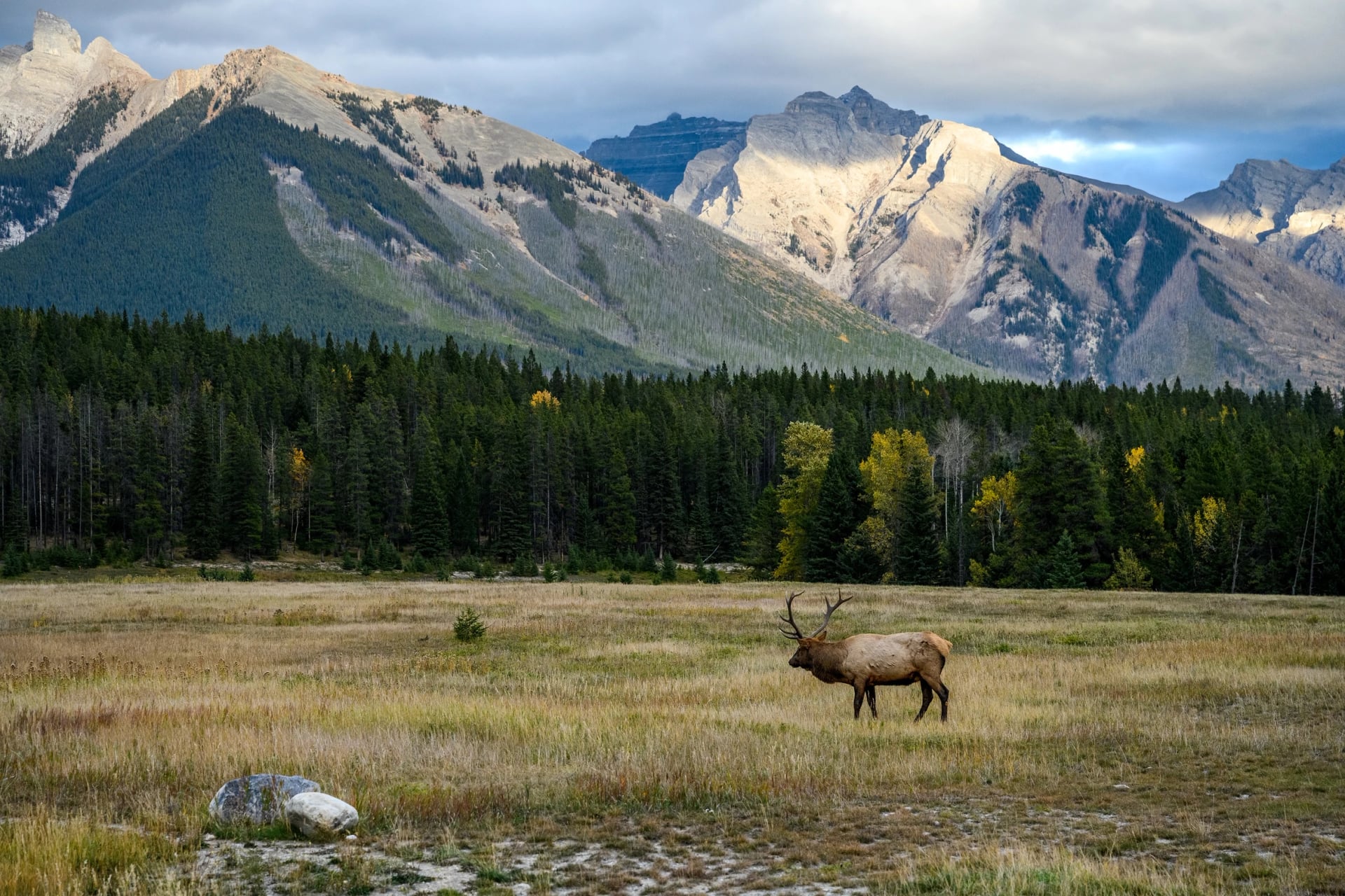
This is also the band that carries the wildlife. Elk graze the valley floor and the town verges as a matter of routine, and the lakes hold loons and the occasional moose. What it does not give you is a view of the range you have come to see, which is exactly why it works as a first afternoon rather than a whole holiday.
Forest and Bench: The Long Approaches
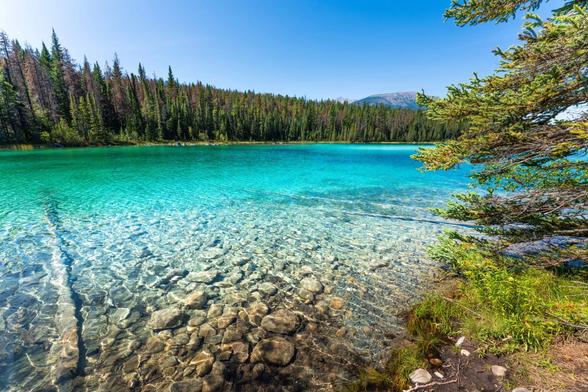
Between roughly the valley and the treeline sits the part of a Jasper day that nobody photographs: switchbacks through lodgepole pine and spruce, gaining height steadily with the view rationed out through gaps in the trees.
The approach is where Jasper days are won or lost. A great many of the best objectives here sit behind an hour or two of forest, and hikers who set off too fast on that section arrive at the good part with nothing left. The compensation is that this band is sheltered, shaded and reliable, which makes it the part of the day least affected by weather.
It is also where the grey standing deadwood is most obvious, and where trails are most often closed at short notice for hazard tree removal. There is a reason for both, and it is worth understanding before you walk through it.
Above the Treeline: Where Jasper Is Actually Different
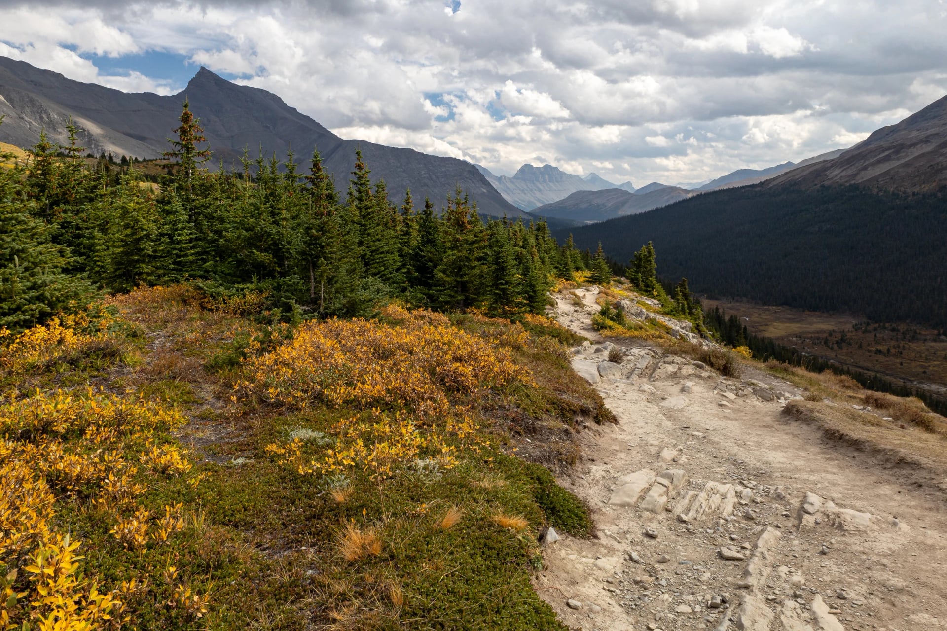
Somewhere between about 2,050 and 2,400 metres, depending on aspect and shelter, the trees give up and Jasper becomes itself. Open alpine meadow, larch and heather, tarns in shallow bowls, and long sightlines in every direction.
Most Rockies parks give you a viewpoint at the top; Jasper gives you a plateau to walk across. That difference is the whole argument for coming here rather than somewhere better known.
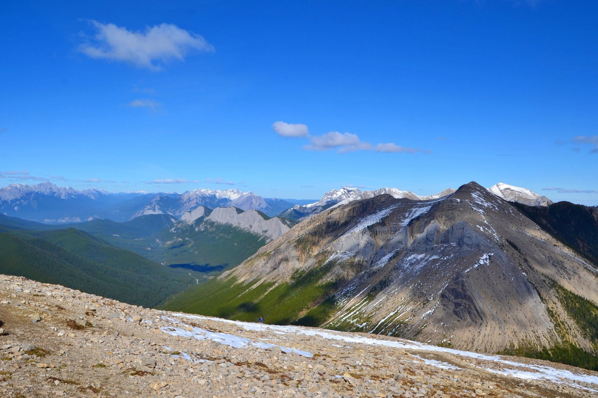
There is no shelter up here, weather arrives with very little notice, and an afternoon thunderstorm on an open ridge is the one situation in this park that puts an ordinary walker in real danger in this park.
Ridge Traverses: Days You Spend Entirely Up High
The top band is not really an altitude, it is a commitment. These are the routes that gain the ridge early and then stay on it, sometimes for a day and sometimes for three, which is a fundamentally different experience from climbing something and coming back down.
The Skyline is the obvious example and the reason serious walkers come to Jasper at all. But the principle scales down: several of the day hikes below can be walked as a there-and-back to a viewpoint, or extended along the ridge for as long as your legs and the weather allow. Deciding which of those you are doing before you leave the car is the single most useful piece of planning in this guide.
How Hard Is Hiking in Jasper?
Easier than the Coast Mountains and harder than it looks on paper, for reasons that are specific to a big park at altitude.
Our own Jasper week is rated fitness 3 out of 5, with days between 13 and 19 kilometres and anywhere from 230 to 1,330 metres of climbing. That spread is the point: one hard day sits inside a week of moderate ones, which is a far more sustainable way to spend five days than three brutal days in a row.
Altitude is a mild but real factor. Trailheads sit around a thousand metres and ridges well above two thousand, which is enough to shorten your breath on the first day without ever being dangerous.
The approaches are long before they are steep. Pace the forest section and the alpine section takes care of itself.
Distances between trailheads are substantial. An hour of driving each way is normal, and it comes out of your walking day.
Exposure above the treeline is total. No trees, no shelter, no quick way down, and weather that changes faster than the forecast.
Trails are well built and well signed. Route finding is rarely the problem here, which is not true everywhere in the Rockies.
Park Passes, Trailheads and Getting Around
Jasper is a national park and every vehicle in it needs a Parks Canada pass, bought by the day or as an annual Discovery Pass. If you are in the Rockies for more than about a week the annual pass is the cheaper option, and it covers Banff and Yoho on the same trip.
Beyond the pass, the constraint is driving. The main trailheads are scattered along three roads out of town: the Icefields Parkway to the south, Maligne Lake Road to the east and the Yellowhead to the west. Maligne Lake in particular is a long drive for a day walk, and the road is slow and busy with wildlife in the early morning, which is exactly when you want to be on it.
A car is effectively required. There is limited shuttle provision in high season, but it is built around sightseeing rather than around being at a trailhead at seven in the morning. Check trail status before every single day out, because closures for hazard trees and wildlife appear and disappear at short notice in this park more than in most.
When to Hike in Jasper
The usable season runs May to September and our own week runs exactly that. But the season is not uniform, and the difference between the ends of it is larger here than in most mountain regions.
May What works: Valley floor, lakes, canyons, low forest. Watch for: Alpine still under snow, trails wet, some access still shut.
June What works: Everything below the treeline, alpine from late month. Watch for: Peak mosquitoes, snow patches high up, meltwater running hard.
July What works: Everything, wildflowers at their best. Watch for: Afternoon thunderstorms, busiest trailheads, heat on exposed climbs.
August What works: Everything, the most settled weather of the year. Watch for: Wildfire smoke in bad years, peak crowds.
September What works: Everything, and the best month overall. Watch for: Elk rut, shorter days, first snow high up, services winding down.
September is the month to take if the choice is yours. The mosquitoes have gone, the crowds thin after the first week, the light is better and the larches turn gold at the end of the month. The two costs are daylight, which shortens quickly, and the elk rut, which is a consideration rather than a curiosity.
Weather and Altitude
Jasper sits on the dry side of the Rockies, which means less rain than the Coast Mountains and a much larger daily temperature swing. A morning at four degrees and an afternoon at twenty-four is an ordinary summer day here, and the layering problem that creates is the main thing people get wrong.
The pattern that matters is the afternoon build. Clear mornings develop cloud through the middle of the day and thunderstorms in the late afternoon with some regularity in July and August. The local habit is to start early and be off the high ground by mid afternoon, and it is worth adopting properly rather than treating as advice for other people. Our guide to handling extreme weather on the trail covers the decision points if you are caught out.
Smoke is the other variable worth mentioning. Late-summer wildfire smoke can settle in the valley for days at a time, and when it does it takes the views with it. There is nothing to be done about it except to know it is possible and not to book your one big ridge day for the last afternoon of the trip.
Bears, Elk and Wildlife Safety in Jasper
Jasper has more large animals per square kilometre than most people are prepared for, and the ones that cause the most trouble are not the ones visitors worry about.
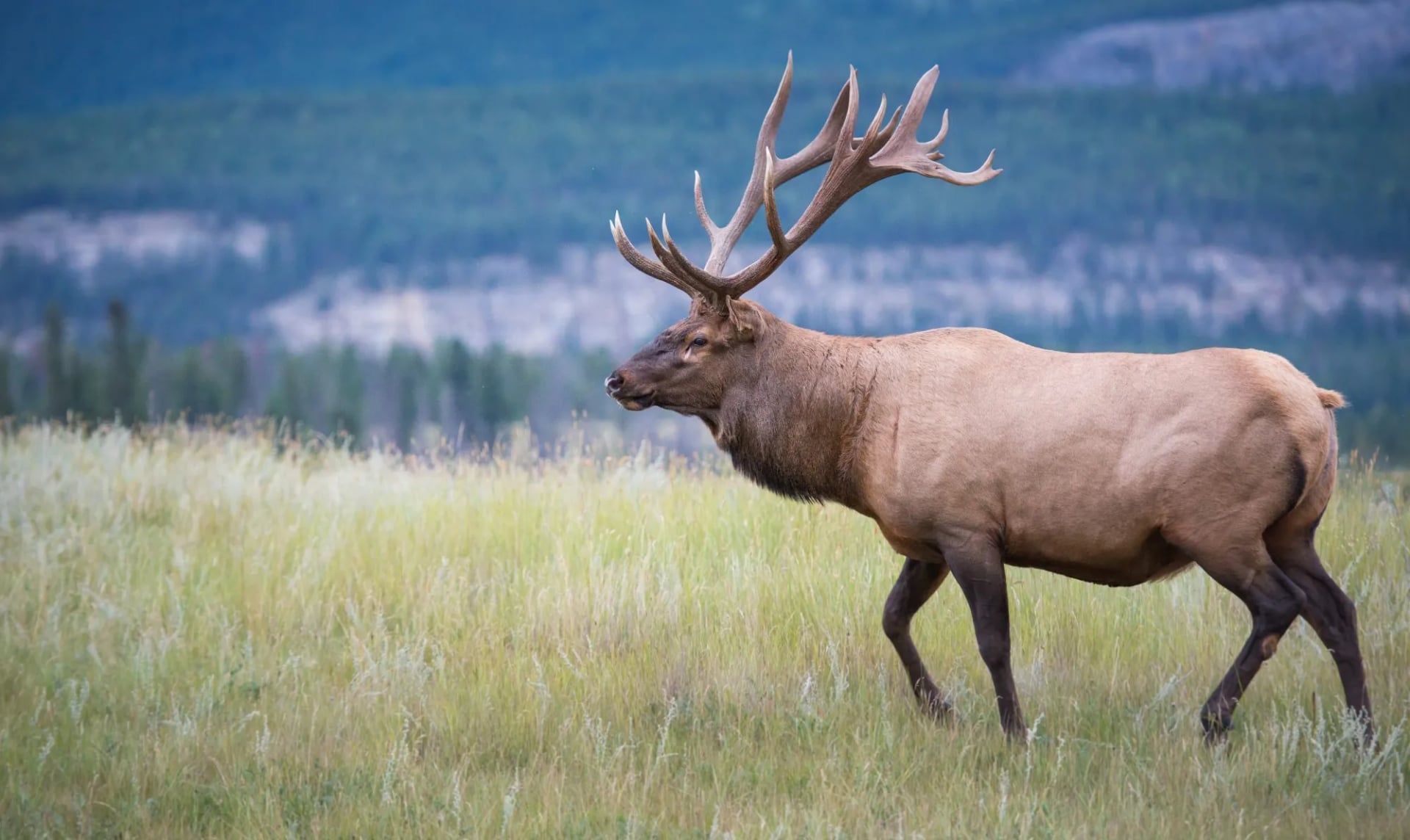
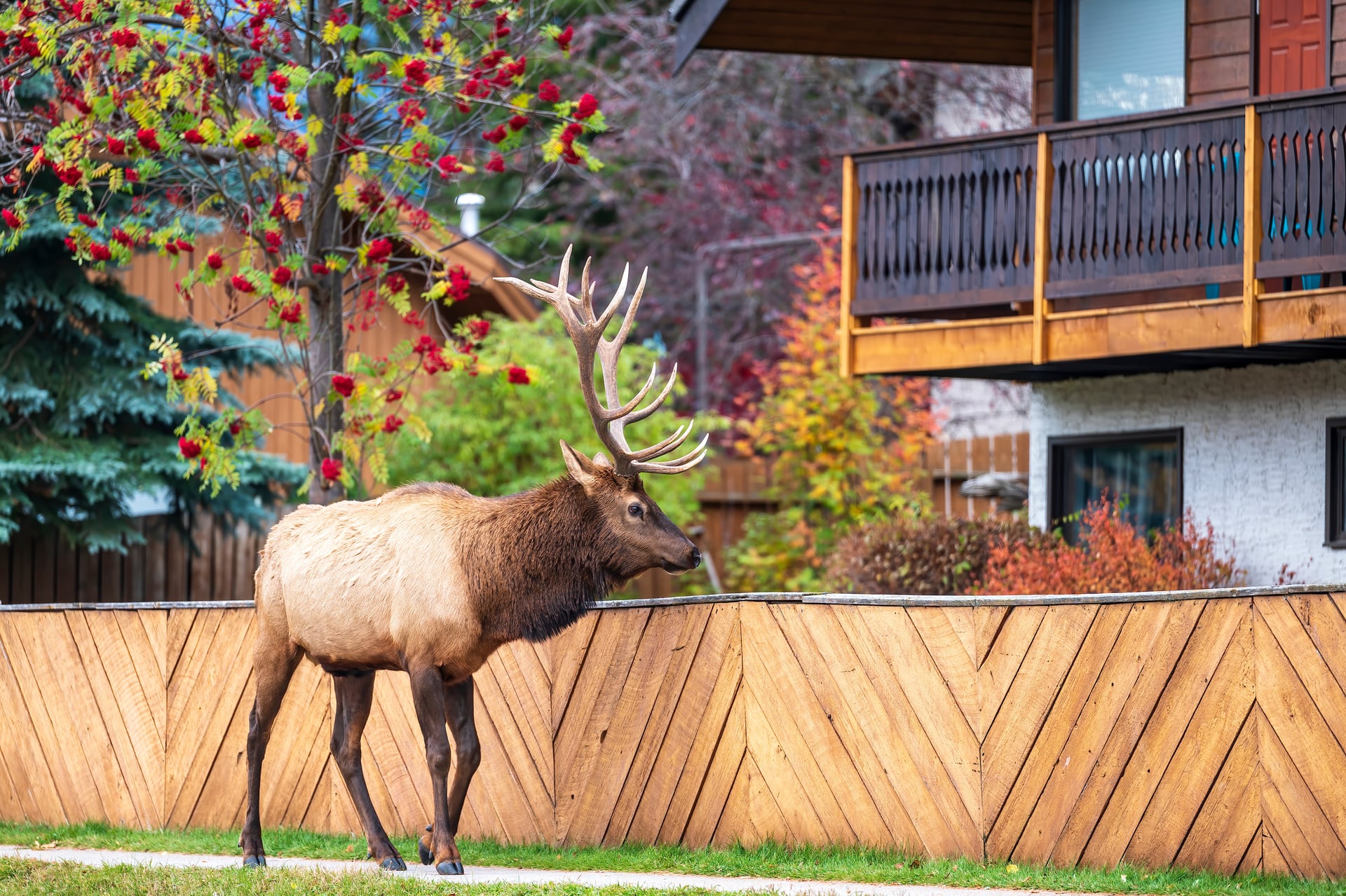
Elk injure more people in the Rockies than bears do. They are habituated, they stand around in town, and they are dangerous twice a year: in the autumn rut when the bulls are aggressive, and in spring when cows are protecting calves. Thirty metres is the minimum distance and a parked car is not cover if you are standing beside it.
Black bears and grizzlies are both present. Carry bear spray on your hip rather than in your pack, travel in a group where you can, and make noise on blind corners and through dense forest.
The Caribou Closures, and Why They Exist
Parts of Jasper close every winter for caribou, and the reasoning is the most interesting piece of land management in the park.
The Tonquin, Brazeau and À la Pêche caribou ranges are closed to all access from 1 November to 15 May every year. Southern mountain caribou are listed as Threatened, and they survive winter by moving high, where the snow is too deep and soft for wolves to travel through.
The problem is not people disturbing caribou. The problem is that a packed ski or snowshoe track is a firm road straight into the one place caribou are safe. Wolves use it. The closure exists to stop the trail being built, not to stop the walking, and once you know that it becomes very hard to resent it. It sits just outside the hiking season at both ends, which is the practical point for anyone planning a trip.
What to Pack for Jasper
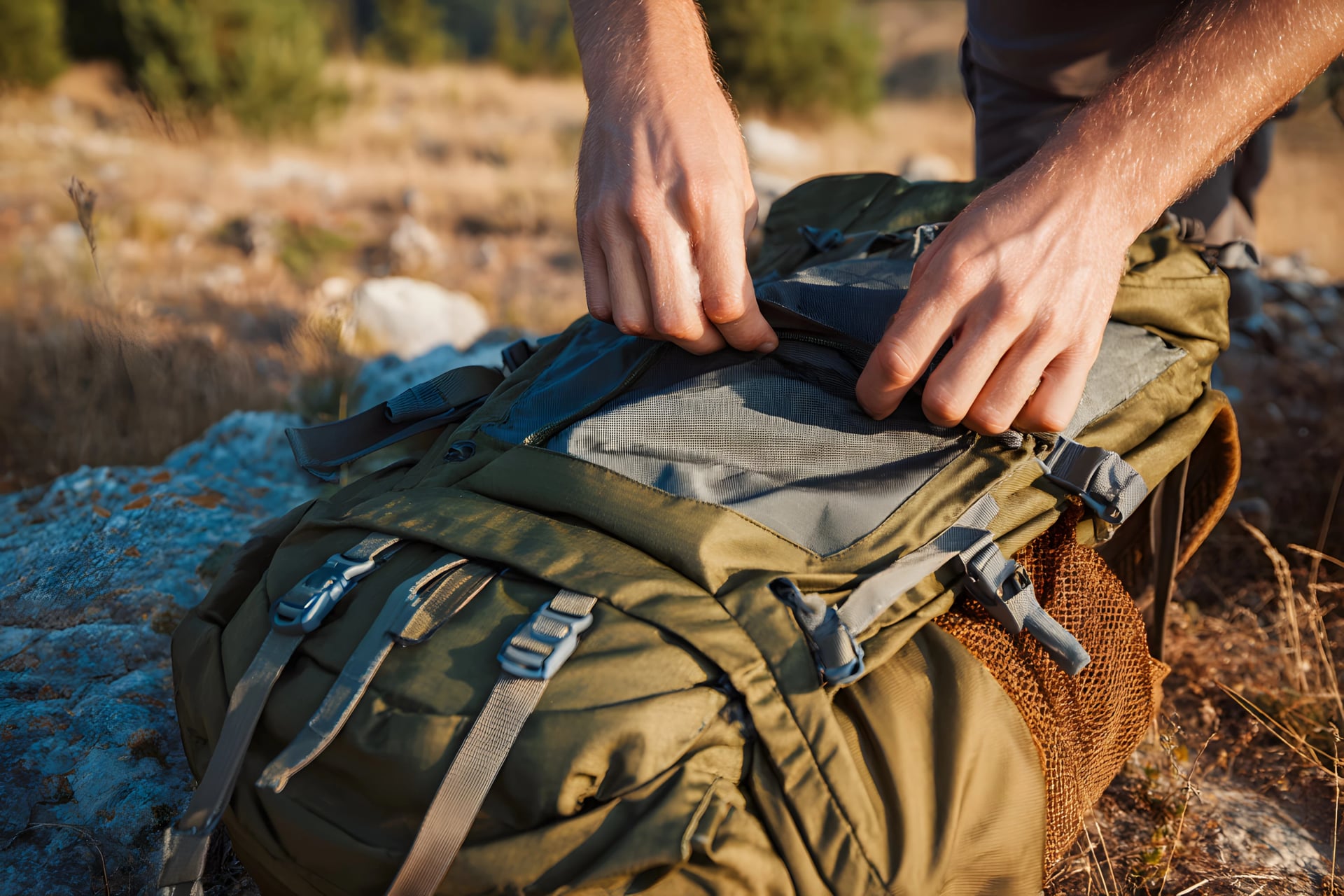
Jasper packing is an altitude and temperature-swing problem rather than a rain problem. You are dressing for a twenty degree change over the course of one day, plus wind on open ground and sun that is stronger than it feels. A 25 to 35 litre day pack covers it.
The item people most often get wrong is sun protection. There is no shade above the treeline, the air is thin and dry, and a long ridge day in July will burn anyone who treated a hat as optional.
Layers that come off and go back on easily. Base layer, midlayer, wind shell and a warm layer for the top, taken on and off through the day rather than once.
A proper wind shell. Wind is the main discomfort on Jasper ridges, more than rain.
Sun hat, sunglasses and high factor sunscreen. Non negotiable above the trees.
Two litres of water minimum. The dry air takes more out of you than the temperature suggests.
Poles. The descents are long and the Whistlers descent in particular is hard on knees.
Head torch. September days shorten fast and the drive back is often in the dark.
Insect repellent in June. The mosquitoes in early summer are not a joke, particularly near the lakes.
Gear to Buy or Hire in Jasper
Two things are best sorted out after you land, and one of them you cannot legally bring.
Bear spray cannot travel on a commercial flight in hold or cabin baggage, so buy it in Jasper or Edmonton on arrival. The shops in town stock it, it is not expensive, and it is worth spending five minutes with the safety clip before you need it rather than during.
The second is a Parks Canada pass, which you can buy at the gate but which is faster bought online before you arrive, particularly in July and August when the queue at the east gate is a real thing.
Beyond that, bring your own boots. Jasper's trails are well built and rarely technical, so a comfortable, broken-in hiking shoe or light boot with decent tread is enough, and there is nothing here that demands a stiff mountaineering boot.
Getting to Jasper
Jasper is a railway town before it is anything else, and it is still one of the easier mountain destinations in the world to reach without a car for the first leg.
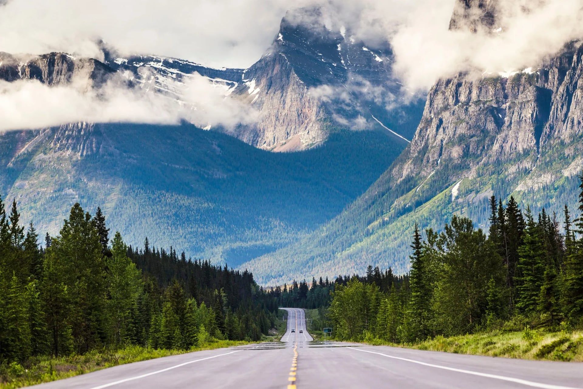
Most people fly into Edmonton and drive west, which takes around four hours, or into Calgary and drive north through Banff on the Icefields Parkway, which takes longer and is one of the great mountain drives anywhere. If you have the time, arrive via the Parkway and leave via Edmonton, so the spectacular road happens while you are still fresh.
The train still runs, which is a practical option rather than a novelty, and the station is in the middle of town. You will still want a car once you are there, so most visitors pick one up at the airport.
Where to Stay in Jasper
Jasper is a small town inside a national park, which means the number of beds is capped by something other than demand. Book earlier than feels necessary, particularly for July and August, and expect to pay national park prices for ordinary rooms.
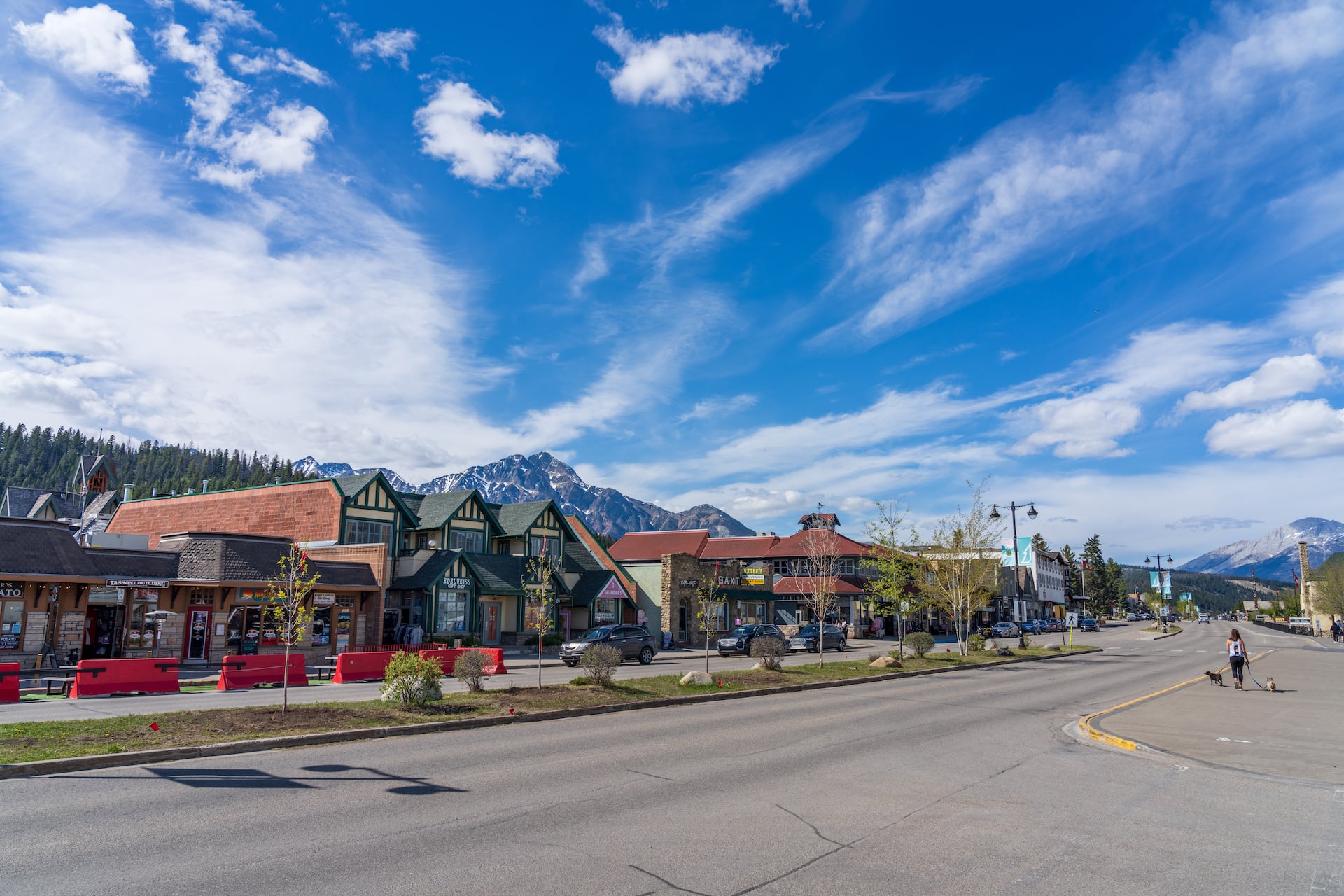
Staying in town rather than out along the highway is worth the premium. You can walk to dinner after a day that finished late, the trailhead drives all start from there, and the town is small enough that everything is five minutes from everything else. Our own week is based in a hotel in town with breakfast included, which keeps the early starts simple.
The Grey Forest, and What Happened to It
Walk almost any approach trail in Jasper and you pass through stands of grey, bare, standing dead pine. It is the first thing visitors ask about and the answer is more interesting than the obvious one.
Mountain pine beetle killed up to ninety per cent of the park's lodgepole pine over the decade before the 2024 wildfire. The beetle is native and outbreaks are natural, but this one was exceptional, and it turned a great deal of green forest grey in a remarkably short time. That is what you are walking through, and it is why trails here close for hazard tree removal more often than in neighbouring parks.
The tempting next sentence is that all that dead wood is what made the fire so severe. It is worth resisting, because the research is more complicated than that. A study that happened to measure forest fuels in the Athabasca valley in the years immediately before the fire found that the worst-affected stands actually had less canopy fuel than healthy ones, with more growth at ground level instead. The relationship between the beetle and the fire is argued over by people who study it for a living, which is more use to you than a tidy story.
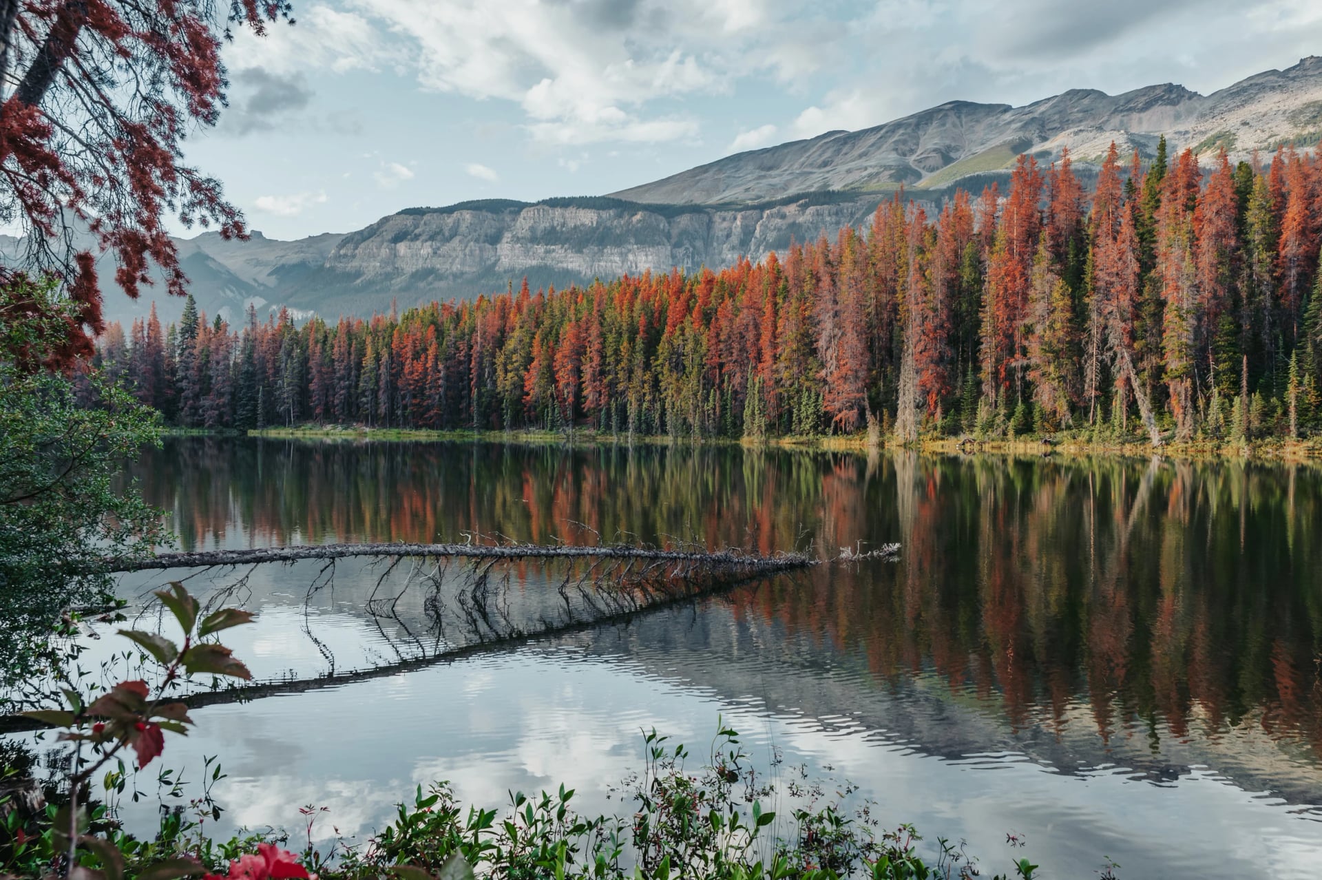
What is not in dispute is that fire belongs here. Lodgepole pine is adapted to it, the montane valleys have burned repeatedly for as long as there have been trees in them, and the green coming back through the black is the system working rather than recovering from an aberration.
Jasper After Dark
Jasper is a designated Dark Sky Preserve, and it is the rare place where that designation changes what you actually do rather than just appearing in the brochure.
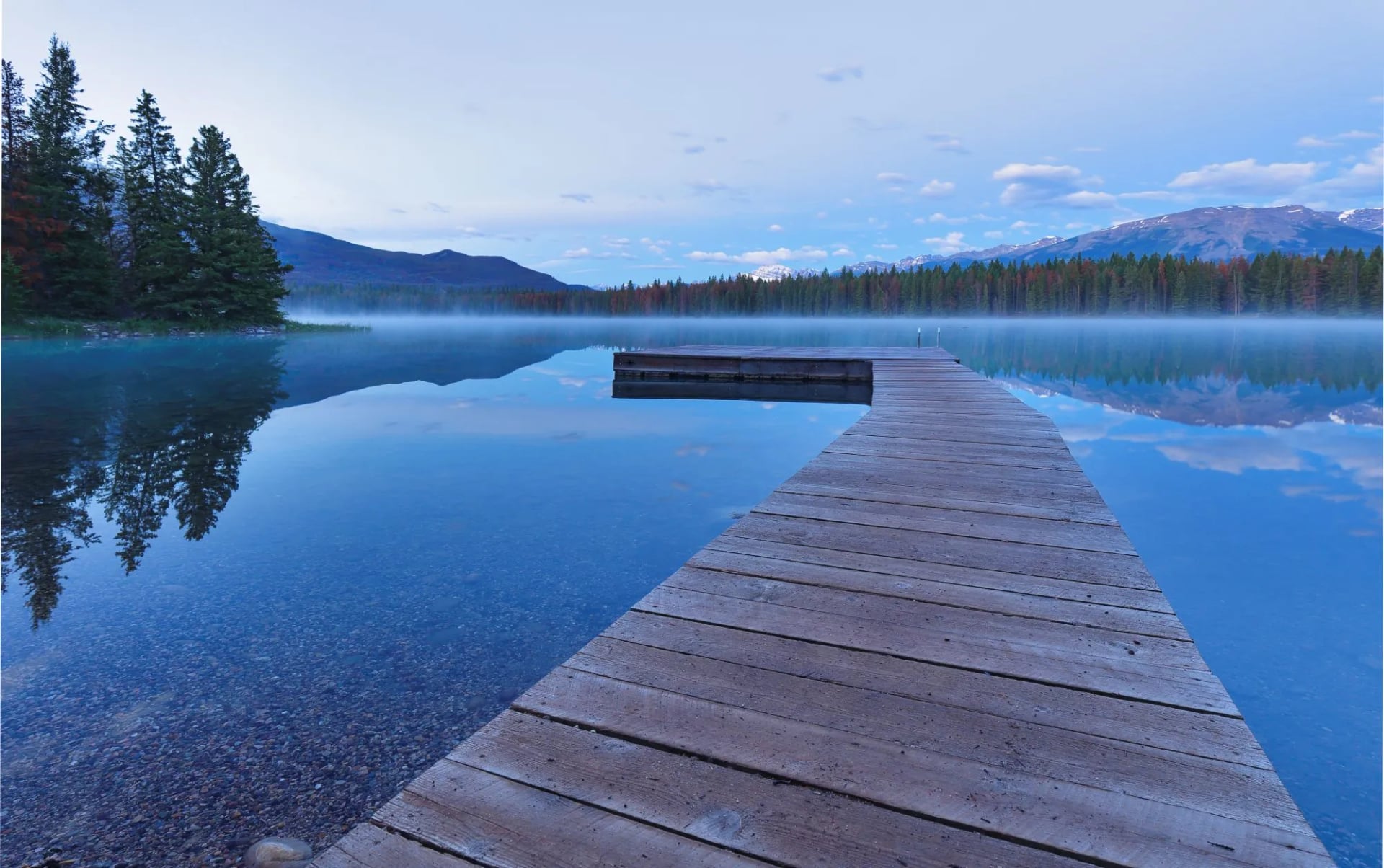
Lighting in the town is deliberately shielded and directed downward, and once you are twenty minutes out of it on any lakeshore the sky is dark. The practical consequence for a hiker is that the evening is not dead time: a short drive to Pyramid Lake or Maligne Lake after dinner is a legitimate part of the day rather than an add-on, and it requires no equipment beyond a warm layer and a red torch.
It is also the strongest argument for the shoulder months. The nights in May and September are long enough to be worth using, which is not true in the middle of summer when it barely gets properly dark at all.
Our Jasper Tour
Five days, one hotel, and the range of the park in a single week.
It runs self-guided, with a digital guidebook, GPS routes, hotel with breakfast and a start date you choose. If you are weighing Jasper against the rest of the country, our Canadian Rockies Highlights week covers the Banff side and Squamish Scenic Trails covers the Coast Mountains, and North America more broadly is the subject of our sister brand's guide to hiking in the USA.
Frequently Asked Questions
Ready to Take the High Ground?
If you would rather have the logistics handled, get in touch and tell us your dates. We will tell you what will be open when you arrive, and what to walk instead if the weather has other ideas.

About this author
Jon is our travel advisor and an outdoor adventurer who is happiest on the move. While mountain biking is his personal passion, he thrives on crafting hiking adventures for others — planning routes and adding the little touches that turn a trip into a core memory.














.jpg&w=828&q=75)












































.jpg&w=828&q=75)























