Salzkammergut Hiking: A Guide to Austria's Lake District
Hiking in the Salzkammergut means 76 lakes and walks from 405 to 1,180 metres of climbing. Five routes compared, plus the ten-day Dachstein Circuit.

Jon
Published August 10, 2026
Edited September 29, 2026
19 min read
Quick links
Don't want to read all this?
We've planned 2,000+ hiking trips. Send your dates, fitness and group size — we'll map the route and book every night.



More than 70 lakes are scattered across the Salzkammergut, Austria's lake district stretching east from Salzburg into Upper Austria and Styria. Hiking here rarely strays far from water: trails climb through forest and alpine pasture, then drop you straight back onto a lakeshore promenade. It is the part of Austria where you can finish a 900 metre climb with a swim.
That shapes what the walking is like. There is no single big range to cross and no one long valley to follow, so a day here tends to be a climb out of one lake basin and a descent into the next rather than a push towards a summit and back. The paths are extensive and well signposted, running from flat paved promenades that suit an afternoon to secured alpine routes that need a head for heights.
This guide covers the seven walks worth building days around with figures for each, the six lakes and what separates them, the region's own long-distance trail, the one serious multi-day circuit, and the practical business of huts, transport and timing. If you want the higher, more exposed side of Austrian walking, our Innsbruck guide covers the Tyrolean hut-to-hut routes and the ultimate guide to hut-to-hut hiking in Austria compares the regions.
What Is the Salzkammergut?
The Salzkammergut is not an official province. It is a region spanning parts of Salzburg, Upper Austria and Styria, centred loosely on the spa town of Bad Ischl, and its name comes from salt rather than scenery: the Kammergut was the imperial estate that the salt trade paid for. The Habsburgs administered the mines from Gmunden and Bad Ischl for centuries, and Franz Joseph I spent his summers at the Kaiservilla in Bad Ischl, governing the empire from there in the warmer months.
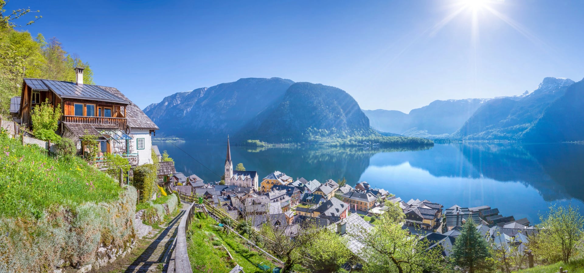
Hallstatt anchors the region's reputation. Its salt mine has been worked for roughly 7,000 years, making it the oldest in the world, and the town sits at the centre of the Hallstatt-Dachstein/Salzkammergut Cultural Landscape, a UNESCO World Heritage Site since 1997. The whole Hallstatt culture of the European Iron Age is named after the graves found on the hillside above the town. Hallstatt also appears in our round-up of the top landmarks in the Austrian Alps.
For a walker the practical shape of the place matters more than the history. The mountains here are limestone, topping out at the Dachstein on the southern edge, and most of the walking sits between 500 and 1,800 metres. That is low by Alpine standards, which is why the season is long and why the trails stay open when Tyrol is still under snow.
The Lakes, One by One
Six lakes carry most of the walking, and they are genuinely different from each other. Knowing which is which is the difference between a week of promenades and a week of climbs.
Attersee is the big one: 46.2 square kilometres and 169 metres deep, the largest lake in the Salzkammergut and the third largest in Austria. It is wide, open and wind-blown, better known for sailing than for walking, though the steep eastern shore below the Höllengebirge carries good paths.
Traunsee is the deep one, 24.5 square kilometres and 191 metres at its deepest, which makes it the deepest lake lying entirely inside Austria. The Traunstein rises straight out of its eastern shore and dominates everything, and the lakeside town of Gmunden is where the region's long-distance trail begins.
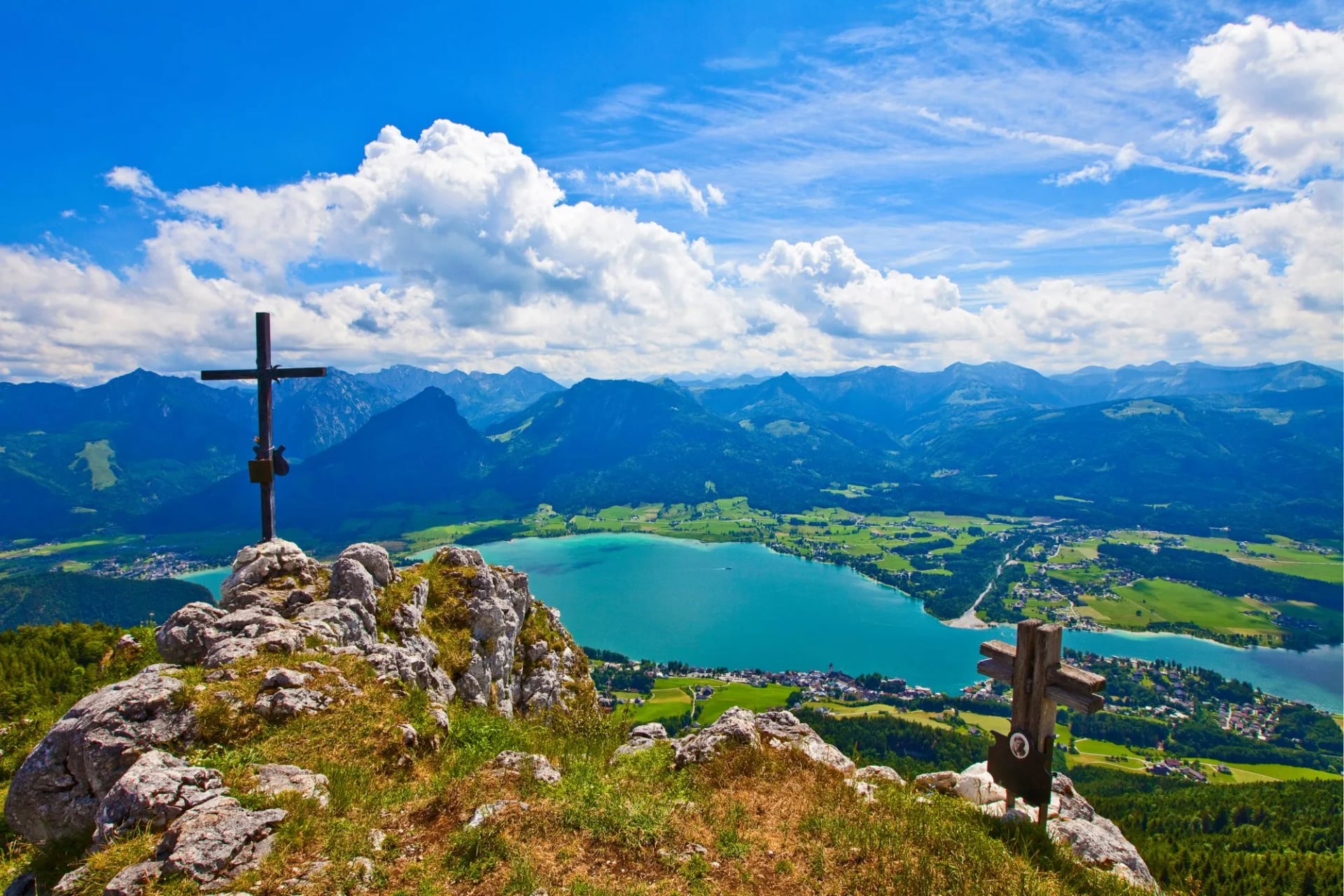
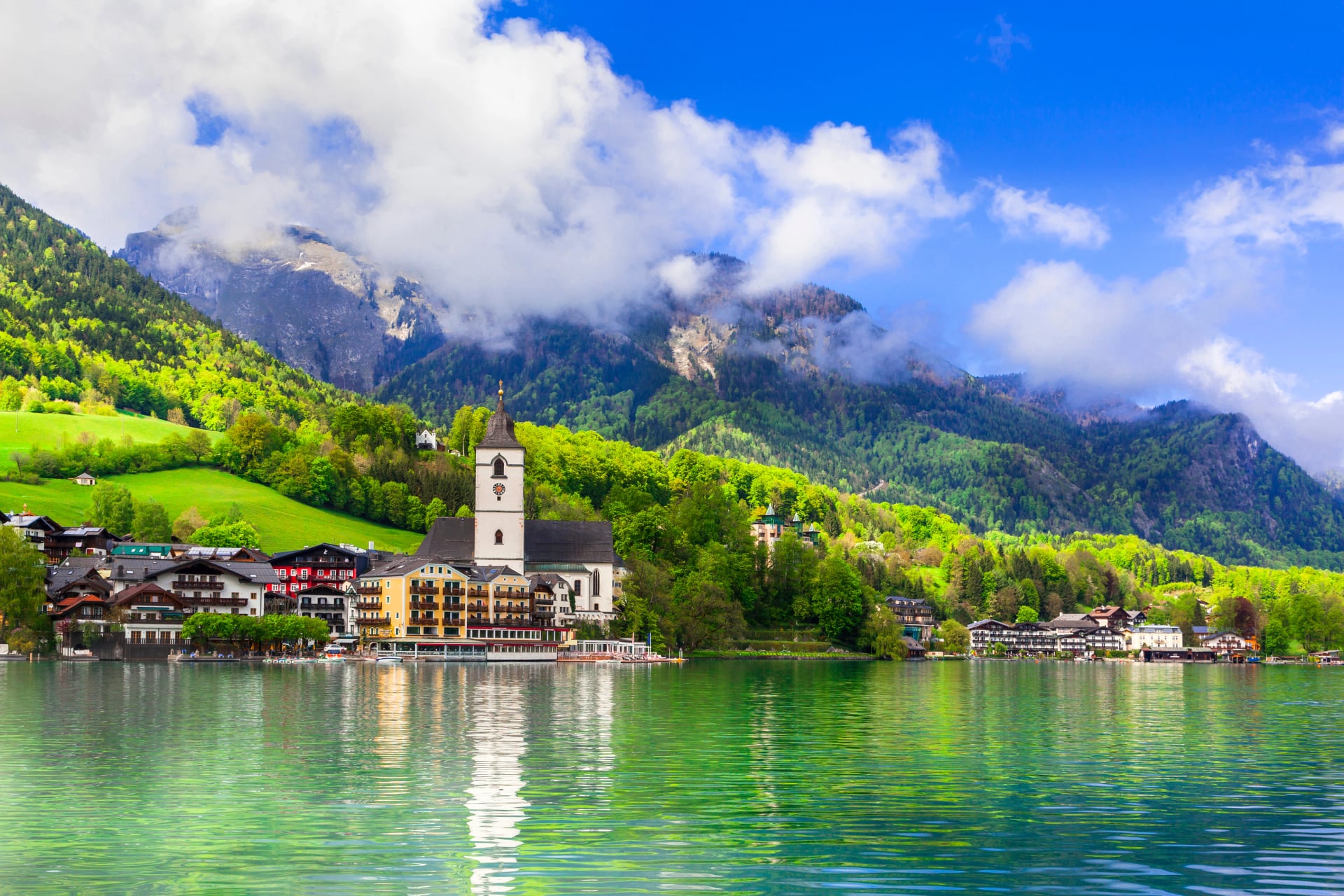
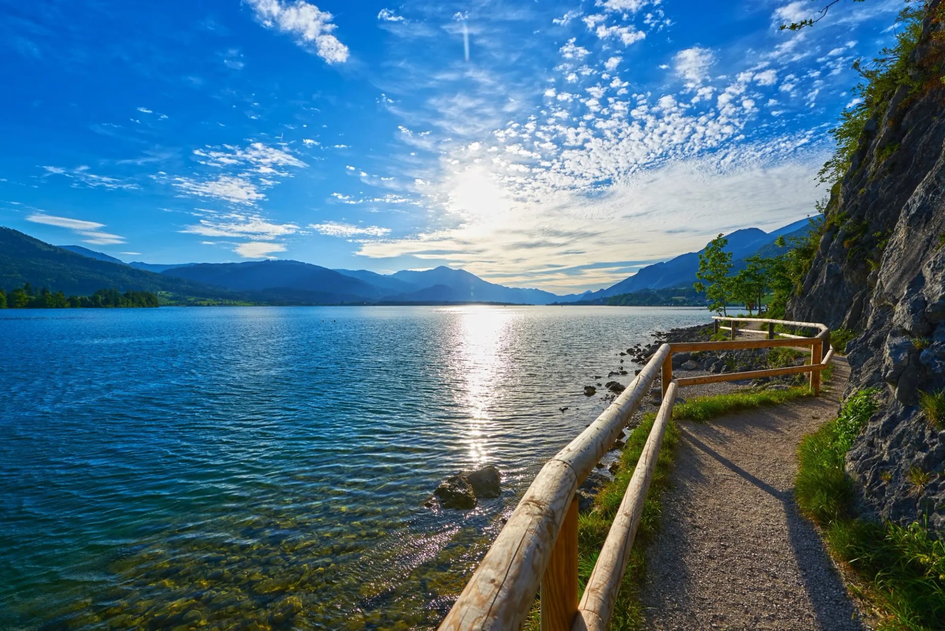
Wolfgangsee is the walker's lake: 13 square kilometres, 114 metres deep, ringed by St. Wolfgang, Strobl and Sankt Gilgen, with the Schafberg on one side and the Vormauerstein on the other. Four of the seven walks below start from its shore, and it is the base for our own trip here.
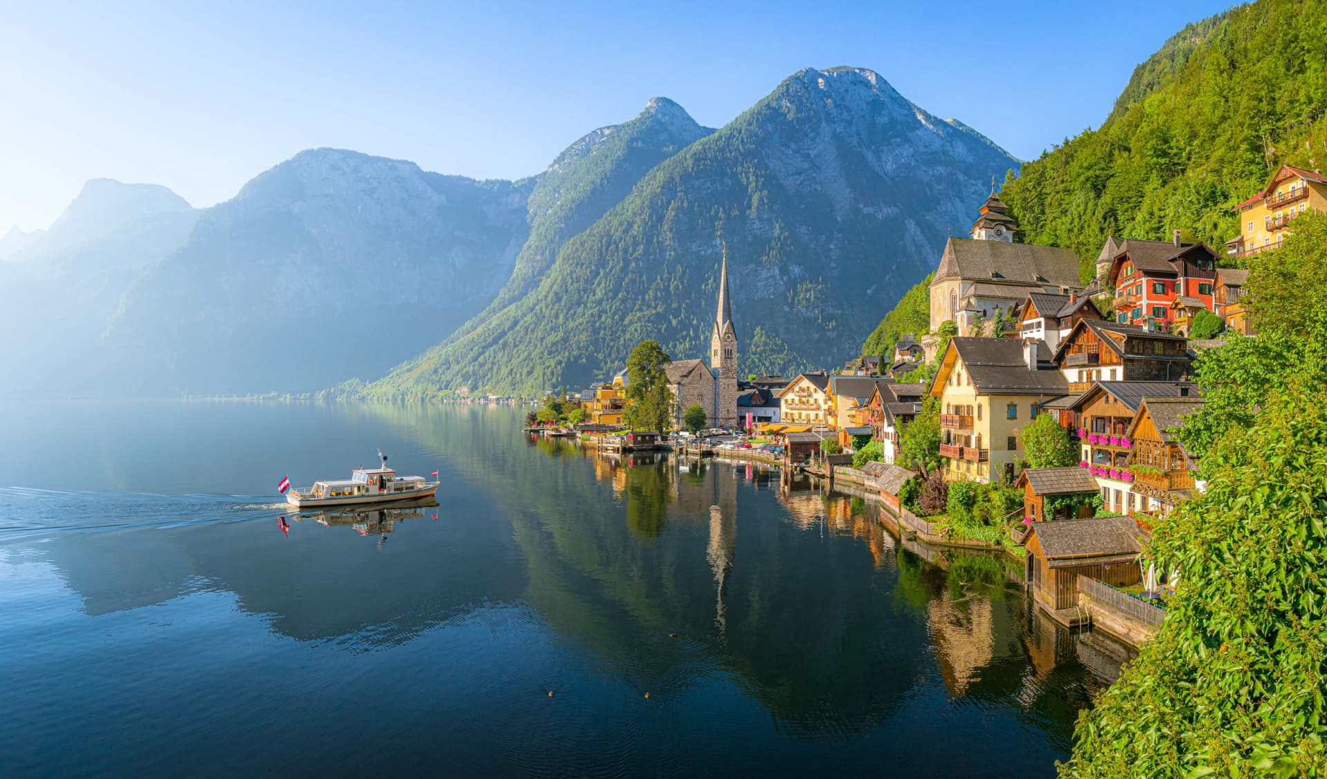
Hallstättersee is the famous one and the smallest of the six at 8.55 square kilometres, hemmed in so tightly by cliffs that the road runs through tunnels. It is 125 metres deep, and the walk up the Salzberg above the town is the single most photographed view in Austria.
Mondsee is the warm one. At 68 metres it is much the shallowest here, which is why it heats up faster than the rest and is the first to be swimmable in early summer. Fuschlsee, just west of it, is the small, quiet one, with an easy circuit of the shore and far fewer visitors than its neighbours.
The seventh worth knowing is the Gosausee, which is not a bathing lake at all but a mountain one, sitting at 940 metres under the Dachstein glacier with the best short walk in the region around it.
Best Hikes in the Salzkammergut
The seven walks below are the ones worth building days around, ordered from least to most climbing. Every figure comes from the regional tourism board's own tour pages, so the distances, ascents and times are comparable with each other rather than gathered from different sources. Three of them sit on our own itinerary and the entries say which.
1. Around the Gosausee
Distance: 4.2 km
Ascent: None
Walking time: 1 hour
Difficulty: Very easy
Start: Gasthof Gosausee
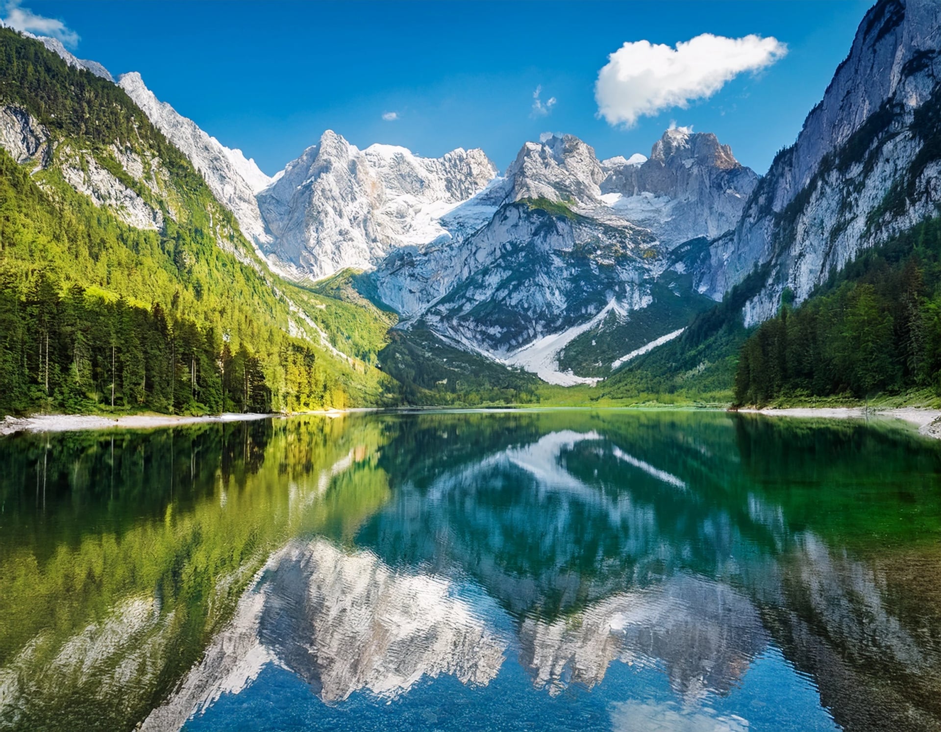
The easiest walk in this guide and the one with the biggest view for the effort. A flat circuit of the Vorderer Gosausee at a constant 940 metres, one hour all the way round, with the Dachstein and its glacier filling the far end of the lake and reflecting in it on a still morning. There is no climbing at all.
Go early or late. It is the most photographed lake in the region after the Hallstättersee, the light is best before the tour coaches arrive, and the reflection needs the water flat. Anyone wanting more can carry on to the Hinterer Gosausee, which turns an hour into most of a day.
2. To the Schwarzensee
Distance: 9.1 km
Ascent: 405 m
Walking time: 3 hours
Difficulty: Easy
Start: St. Wolfgang
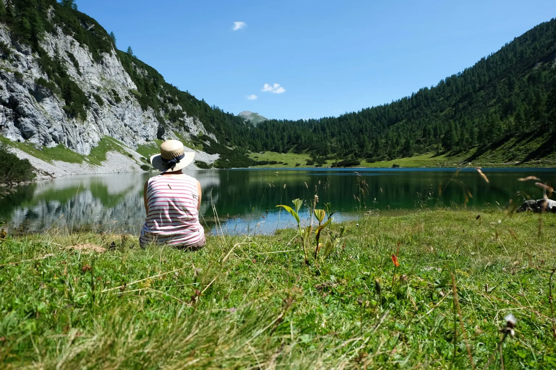
The gentlest of the Wolfgangsee walks and the best introduction to what the region does well. Trail 28 climbs from St. Wolfgang to the Ahornplatz, then follows the Sattelweg over a low saddle and drops to the Schwarzensee, a small dark lake at 823 metres with wooded slopes coming down to the water on every side. There is a snack station on the way and the return is the same route back.
At 405 metres of ascent spread over nine kilometres it is a half day rather than a mountain day, and it is the walk to choose if the forecast is uncertain. It is day three on our own Salzkammergut itinerary.
3. Hallstatt Salzberg
Distance: 2.4 km
Ascent: 483 m
Walking time: 1 hour
Difficulty: Medium
Start: Hallstatt centre
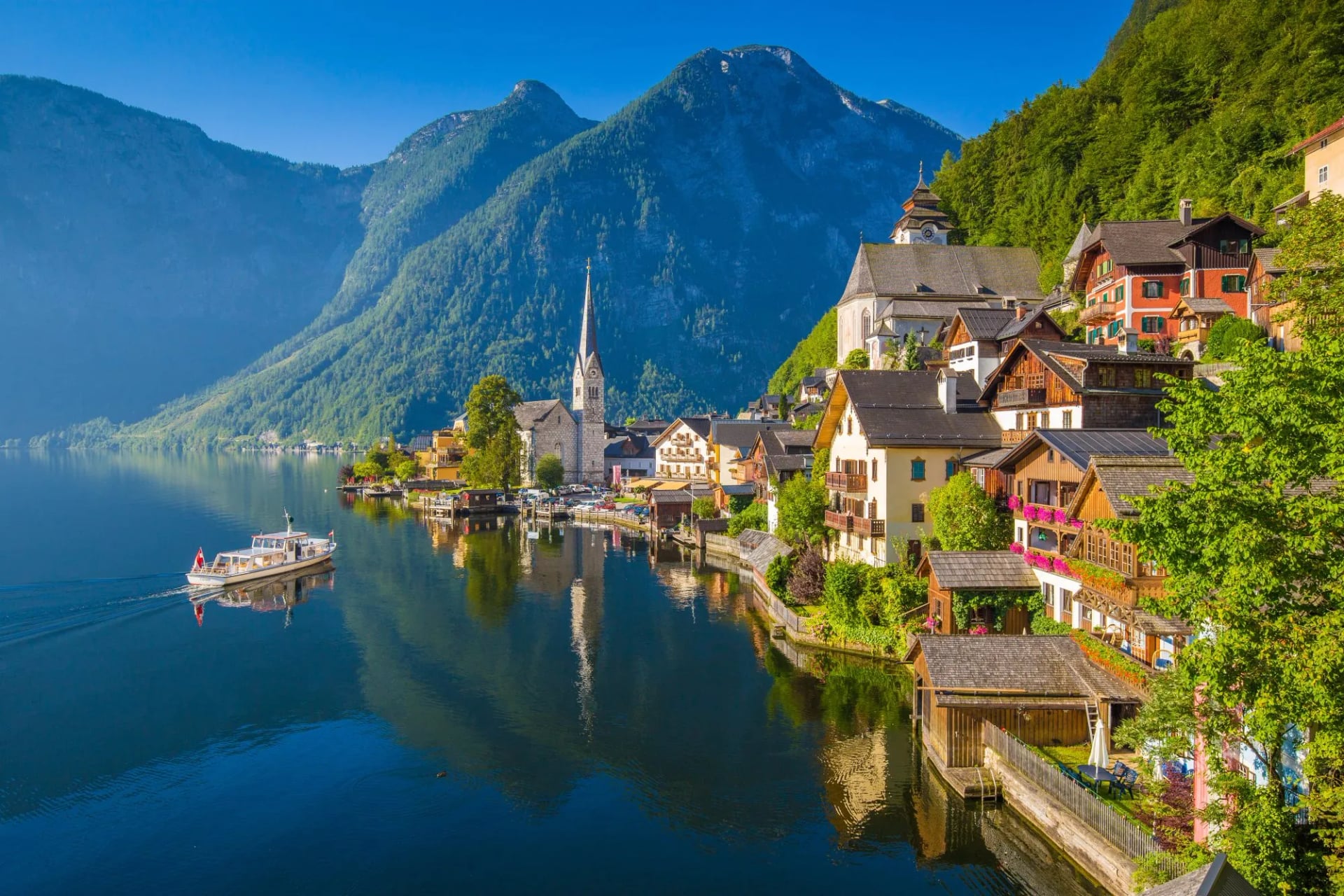
The shortest walk here and the steepest for its length: 483 metres of climbing in 2.4 kilometres, straight up the zigzags from the middle of Hallstatt to the Salzberg at 1,019 metres. This is the hillside the whole region is named for, worked for salt since the Neolithic, and the path finishes at the Skywalk platform looking down the length of the lake.
It is free to walk, which is worth knowing because the funicular beside it is not, and going up on foot and riding down is a common way to do it. Start early: this is the single busiest viewpoint in the Salzkammergut between July and September, and the village below it limits day visitors for exactly that reason.
4. Vormauerstein
Distance: 11.4 km
Ascent: 940 m
Walking time: 5 hours 40
Difficulty: Medium
Start: St. Wolfgang
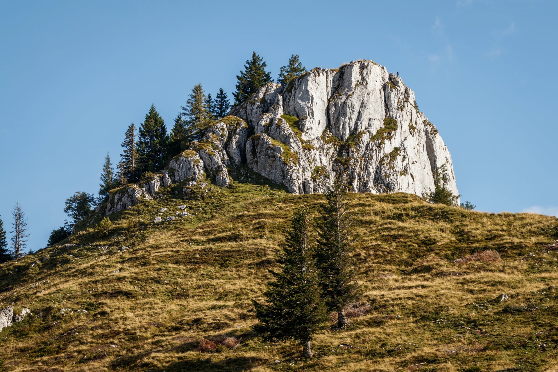
A proper mountain day without anything technical. From the St. Wolfgang tourist office the route follows trail 28 towards the Schwarzensee as far as the Mauruskapelle, then turns onto trail 27 and climbs through the Sommeraualm to the summit at 1,403 metres, with the Wolfgangsee laid out below and the Schafberg opposite.
At 940 metres of ascent it is the biggest climb of the seven that involves no secured section at all. It is day five on our itinerary, where the day starts higher and the climb works out at around 920 metres.
5. Katrinalm Above Bad Ischl
Distance: 9.2 km
Ascent: 969 m
Walking time: 5 hours 30
Difficulty: Medium
Start: Katrin cable car
The Bad Ischl side of the region, and the walk that gets you furthest from the Wolfgangsee crowds. It starts at the Katrin cable car car park and climbs 969 metres to the Katrinalm, with the Dachstein massif, the Traunstein and a string of lakes opening up as you gain height.
The board gives two and a half hours up and two back down. There is a cable car for either direction if the legs or the weather give out, which makes this the easiest of the big climbs to bail out of, and the Katrin also carries a via ferrata for anyone who wants the harder version of the same hill.
6. Schafberg by Purtschellersteig
Distance: 7.6 km
Ascent: 1,180 m
Walking time: 4 hours
Difficulty: Difficult
Start: St. Wolfgang
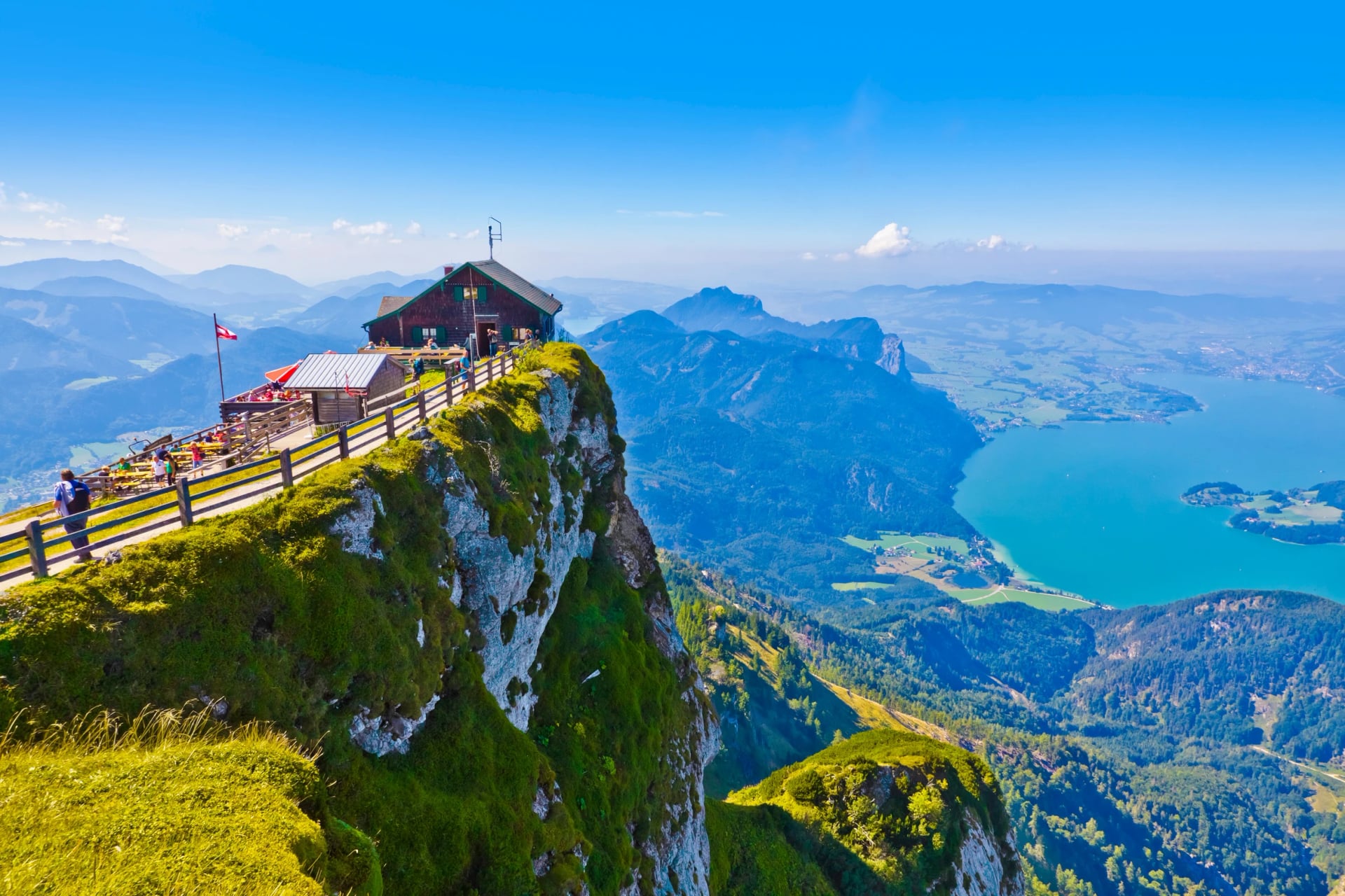
The best view in the region and the second hardest way to earn it. The Auerriesenweg and the Purtschellersteig climb 1,180 metres in 7.6 kilometres from St. Wolfgang to the summit at 1,783 metres, with a short secured rope section through steep rock near the top. The Attersee, the Mondsee and the Wolfgangsee are all visible from the cross at once.
The published descent is 30 metres, which tells you how most people do it: up on foot and down on the Schafbergbahn, Austria's steepest cog railway, which climbs 1,190 metres over 5.85 kilometres and takes 35 minutes. Our own itinerary reverses that and rides up on day four, which turns the hardest walk here into one of the easiest.
7. Traunstein by Naturfreundesteig
Distance: 5.1 km
Ascent: 1,344 m
Walking time: 5 hours 20
Difficulty: Very difficult
Start: Gmunden
The hardest thing in this guide by a clear margin: 1,344 metres of ascent in 5.1 kilometres, straight up the face that rises out of the Traunsee, on a route with iron ladders and fixed rope sections and short unsecured passages between them. The summit is at 1,616 metres and the lake is directly below it.
Sure-footedness, a head for heights and real stamina are prerequisites rather than advantages, and the board grades it very difficult, which is a grade it does not hand out often. This is not a walk to attempt in poor weather or as a first outing in the region, and it is the one route here we would not put a general walker on.
Multi-Day Hikes in Salzkammergut
The three differ more than the map suggests. The BergeSeen Trail is a waymarked network rather than a fixed trip, sampled a few stages at a time. The Dachstein Circuit is the serious one, ten days between huts at technical 4 out of 5. The Lakes Tour is the gentle end, four walking days from one hotel.
The BergeSeen Trail
The Salzkammergut has its own long-distance trail and most visitors have never heard of it. The BergeSeen Trail runs more than 370 kilometres across 23 classic stages, starting in Gmunden on the Traunsee and working through the mountain and lake country of the whole region, with around 14,000 metres of ascent over the full distance.
It is built to be taken apart. Alongside the 23 classic stages there are 17 alpine stages for walkers who want the higher, harder line and 9 regional stages that link in side valleys, so the trail can be made longer, tougher or easier without leaving the waymarking. Very few people walk the whole thing; most take three or four stages as a week, which is the sensible way to use it.

The Dachstein Circuit
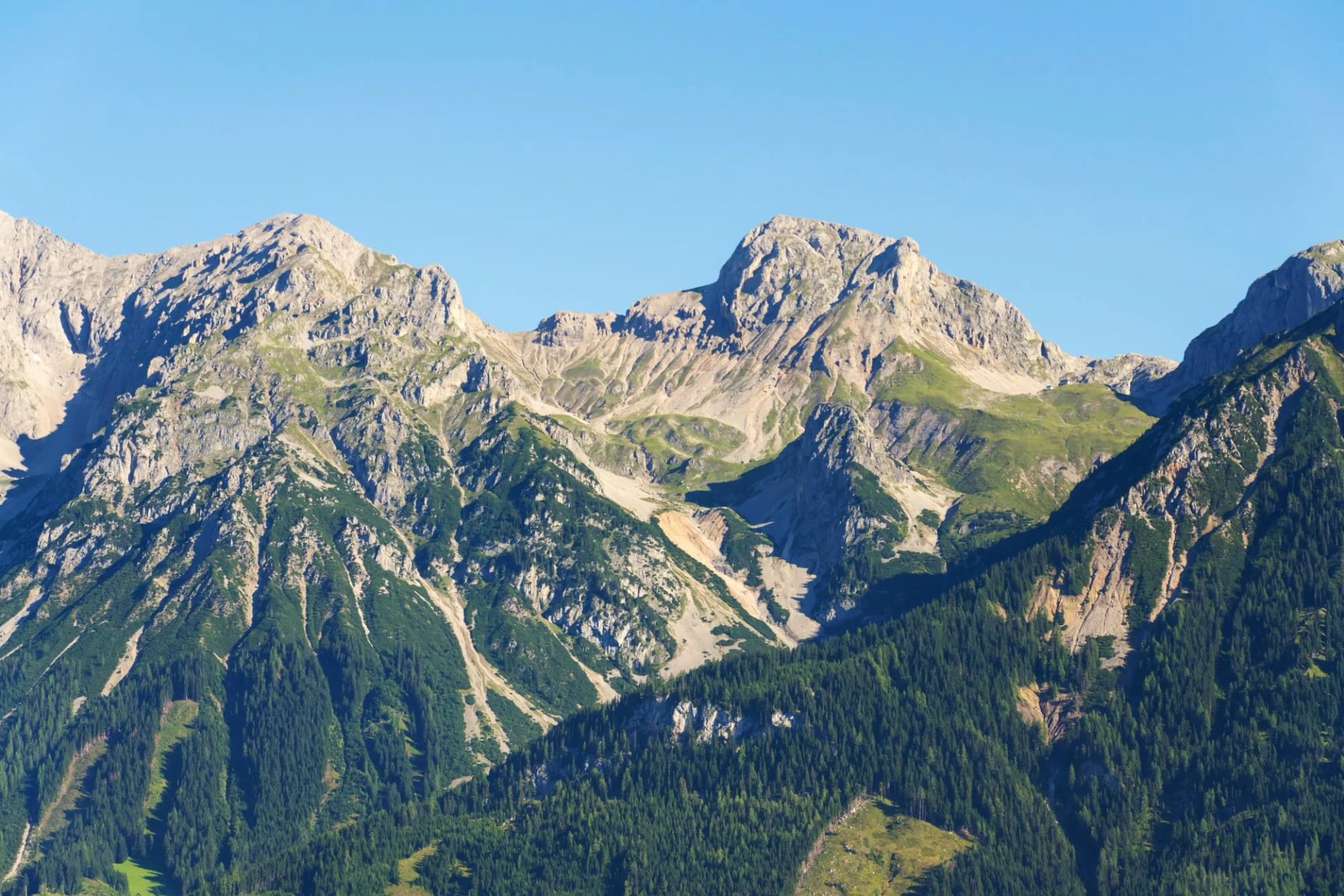
If the day walks are the region's character, the Dachstein Circuit is its one serious multi-day undertaking. Our Dachstein Circuit is a ten-day hut-to-hut loop starting and finishing in Gosau, working right around the Dachstein massif by way of the Hofpürglhütte, Ramsau am Dachstein, the Guttenberghaus, the Stoderhütte, Bad Mitterndorf and Hallstatt itself.
It is a different proposition from everything else here: graded 3 out of 5 for fitness and 4 out of 5 for technical difficulty, staying in mountain huts rather than hotels, and running July to September rather than across the full lake season. Daily distances run from roughly 6 to 19 kilometres with up to 1,170 metres of climbing on the biggest day. It is the route to look at if the lakeside walking sounds too gentle.
The Salzkammergut Lakes Tour
For a shorter, self-guided taste of the region, our Salzkammergut Lakes Hiking Tour is based in St. Wolfgang for six days, with four days of walking and the same hotel every night rather than packing up daily. It is the gentlest thing we run in Austria.
The four walking days are the Wolfgangsee shoreline past Strobl, a loop to the Schwarzensee, the Schafberg by way of the Schafbergbahn, and the climb to the Vormauerstein for the trip's best views. Sankt Gilgen and Strobl both come into it, and because the Schafberg day uses the rack railway for the ascent, the walking on that day is all descent.
Duration: 6 days, based in St. Wolfgang
Walking days: 4
Daily distance: Around 10 to 14 km
Biggest climb: Roughly 920 m on the Vormauerstein day
Grade: 2 out of 5 fitness, 2 out of 5 technical
Huts, Alms and Eating Out
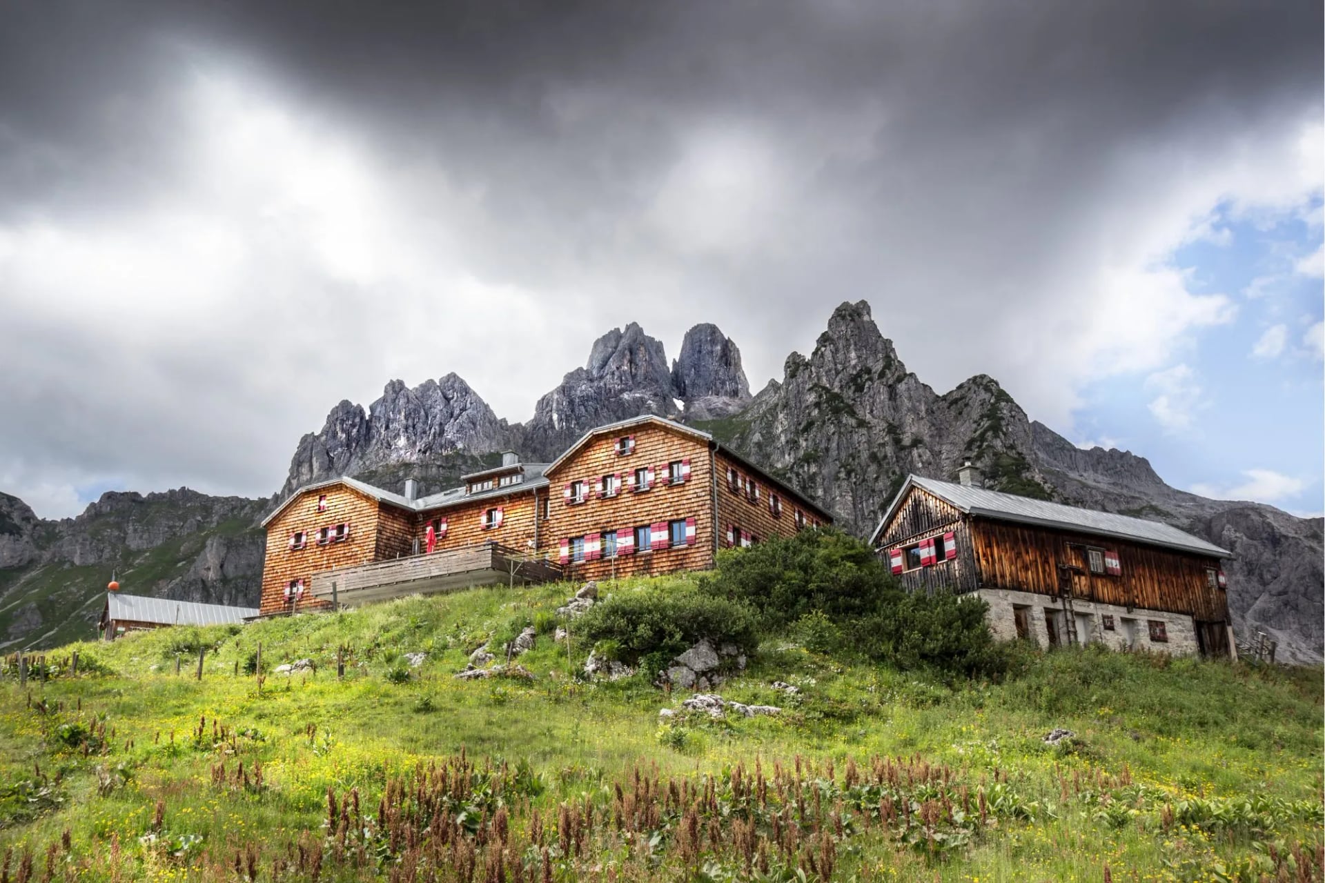
The Salzkammergut is not really hut-to-hut country, and that is the main thing to understand about eating and sleeping here. Almost every walk on this page starts and finishes in a valley town, so you sleep in a hotel or guesthouse and carry only a day pack. The exception is the Dachstein Circuit, which stays in Austrian Alpine Club huts and follows the usual alpine club rules: half board, a fixed dinner time, and a hut sleeping bag liner that is compulsory in every bed.
What you do meet on the day walks is the Alm and the Jausenstation, the working alpine pasture hut and the snack stop. The Katrinalm above Bad Ischl and the stop on the Schwarzensee trail are both this kind of place: simple food, cold drinks, outdoor benches, and opening that follows the grazing season rather than a published timetable. They are the reason you can walk a full day here without carrying lunch.
Two practical notes. Many of these places take cash only, which is worth having in a country where cards otherwise work everywhere. And the lifts matter as much as the huts: the Schafbergbahn and the Katrin cable car both stop running earlier in the afternoon than people expect, and a missed last car turns a planned descent into a long one.
How Hard Is the Hiking?
Difficulty here depends entirely on which trails you choose, and the range is far wider than the region's gentle reputation suggests. The lakeside paths around the Wolfgangsee, Attersee and Mondsee are flat, paved and walkable in trainers. The seven walks above run from no ascent at all to 1,344 metres, and from one hour to most of a day.
Austrian waymarking tells you which you are on, and it is worth learning before the first morning. Trails are marked in three grades: blue for easy, red for moderate and black for difficult, painted as bands on rocks and trees alongside the trail number. Red is the default for anything leaving the valley and can still mean exposed ground and loose rock. Black means secured sections, and on the Traunstein it means ladders.
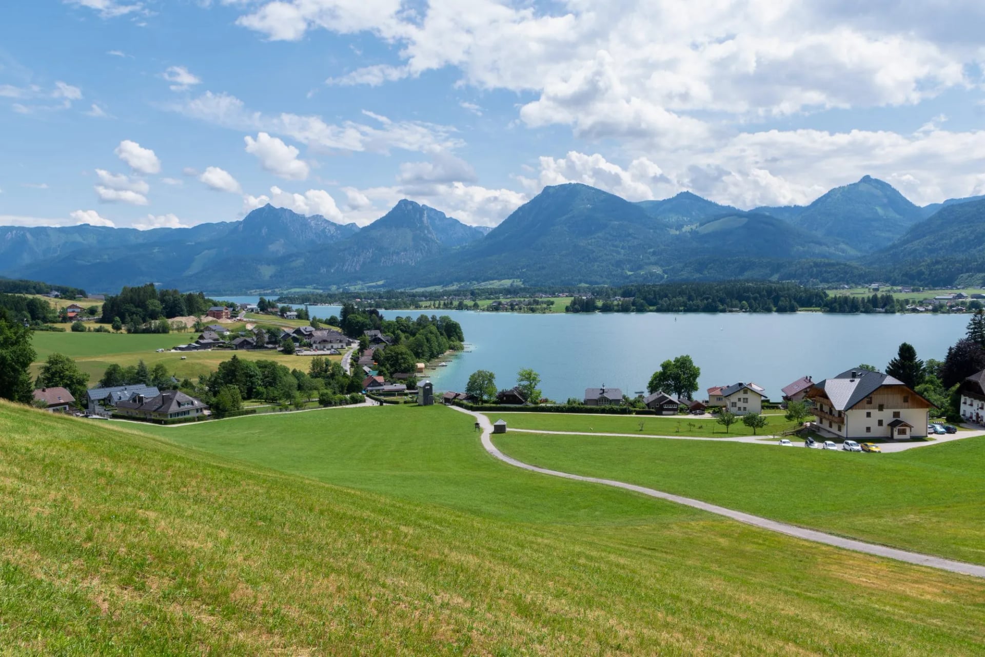
None of the lake walks need via ferrata equipment. The Schafberg's Purtschellersteig has a short secured rope section, the Katrin carries a via ferrata for those who want one and the Traunstein is a different order of thing entirely, but all three can be left alone. The region suits walkers who want real alpine scenery without the exposure of the higher ranges, which is why we grade our own trip here 2 out of 5 on both scales against 4 out of 5 technically for the Dachstein.
What to Pack
For the lakeside and mid-mountain walks, boots with ankle support rather than trainers, a light waterproof, and two litres of water for anything above the valley. Afternoon thunderstorms are the normal summer pattern rather than the exception, so a shell goes in the pack even on a clear morning. Poles are worth having for the descents, which are long here in proportion to the climbs.
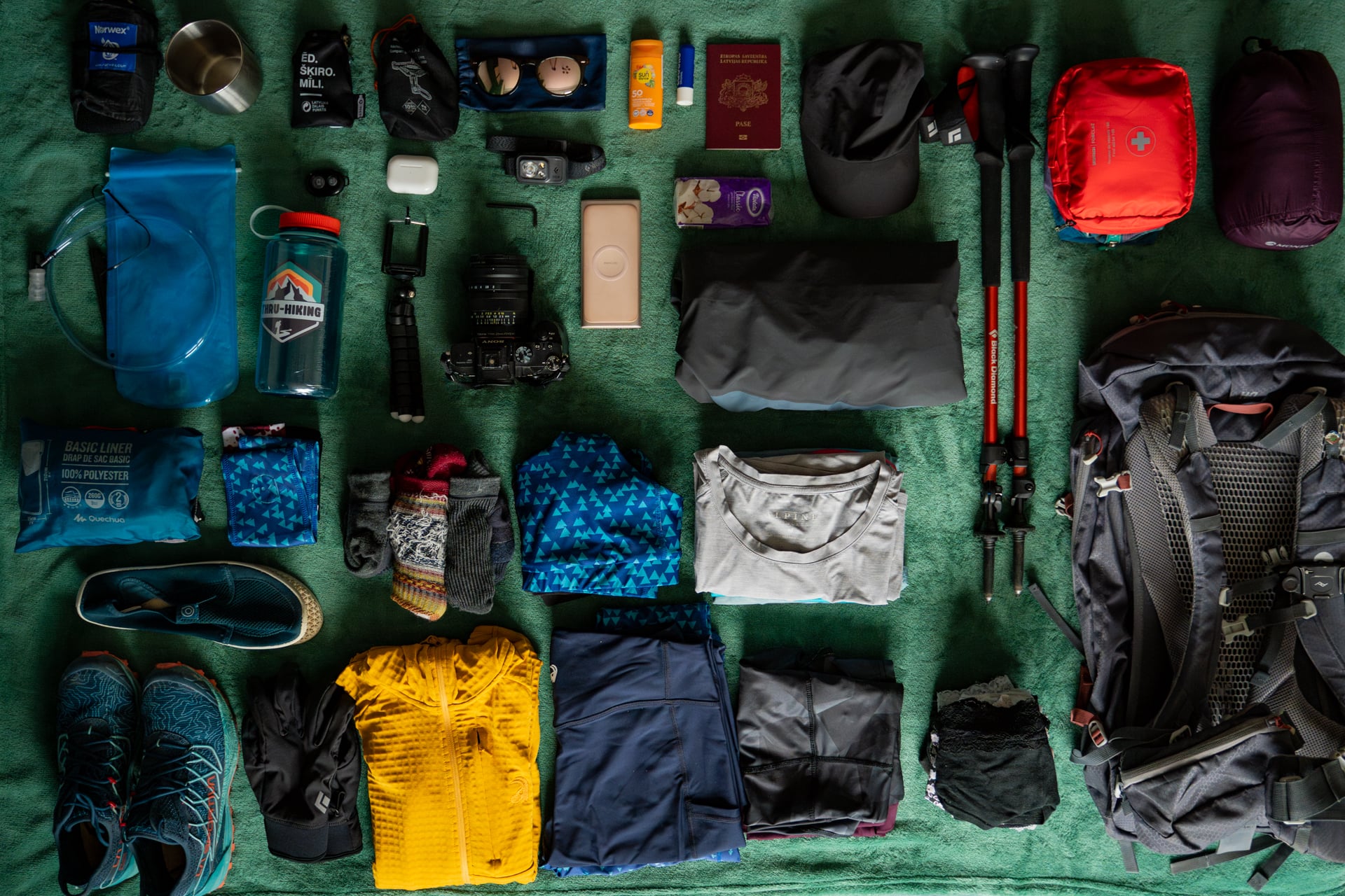
Add to that the two things this particular region asks for. Cash, because the alm huts and some of the smaller lifts do not take cards. And swimming kit, which sounds like a joke on a hiking packing list and is not: the lakes are warm from late June, most of the walks finish within sight of one, and a towel weighs very little.
Footwear is the one choice worth thinking about rather than defaulting. The Gosausee circuit and the lakeside promenades are fine in trainers or approach shoes. Everything from the Salzberg upwards wants a boot with ankle support and a sole stiff enough for loose limestone, and the Traunstein wants one you would be happy on a via ferrata in. If you are bringing a single pair for a week, bring the boots.
Layers matter more than the altitudes suggest, because the gap between a lake shore at 500 metres and a summit at 1,700 is wider than it feels on a warm morning. A base layer, a fleece and a shell cover almost everything between May and October. Put a hat and sun cream on top of that: limestone and open water both reflect hard, and the exposed sections of the Schafberg and the Katrin have no shade at all.
If the Dachstein Circuit is the trip, add the hut list to all of it. The liner is compulsory, earplugs are close to it in a shared dormitory, and a small towel and a pair of indoor shoes make the evenings easier. Huts supply blankets and pillows, so the sleeping bag itself stays at home, and the weight that saves is what makes ten days of this manageable.
Getting There and Around
Salzburg Airport is the most convenient arrival point for the Wolfgangsee area, around 60 kilometres away, with bus connections running via Salzburg's centre to Strobl and on to St. Wolfgang. Linz Airport is a further option at around 115 kilometres, though flight choice is more limited; from there it is a train to Bad Ischl and a bus onward. By train, Bad Ischl is the regional hub, roughly 30 minutes by bus from St. Wolfgang, and Gmunden on the Traunsee is the railhead for the northern end.
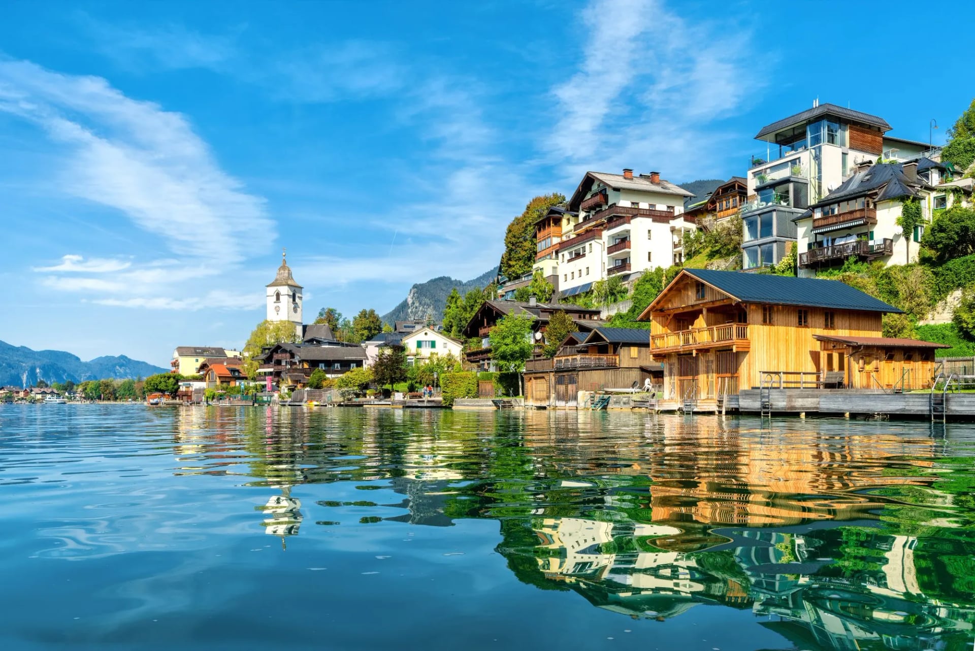
Once you are in the region, the Salzkammergut Erlebnis-Card is worth having if you are staying more than a couple of days: it covers regional public transport and gives discounts on cable cars and other attractions. Between the trains, the regional buses and the card, none of the walks in this guide need a car, which is unusual for an alpine destination and is one of the better reasons to come here.
The lake ferries are part of daily life rather than a tourist add-on. Several of the classic hikes are designed to finish at a jetty rather than loop back on foot, so ferry times belong in the plan rather than at the end of it, and the last sailing is earlier than the last bus. A car does give more flexibility for the quieter trailheads in the side valleys above Bad Goisern and Altaussee, but it is a convenience rather than a requirement.
Best Time to Hike Here
The season runs from May to October, which is longer than the high Alps allow and is one of the region's real advantages. May and early June bring green meadows and thin crowds, though the higher trails may still hold snow and the Schafberg and Katrin lifts do not run a full timetable that early. The Gosausee circuit and the lakeside paths are walkable from the start of the season.
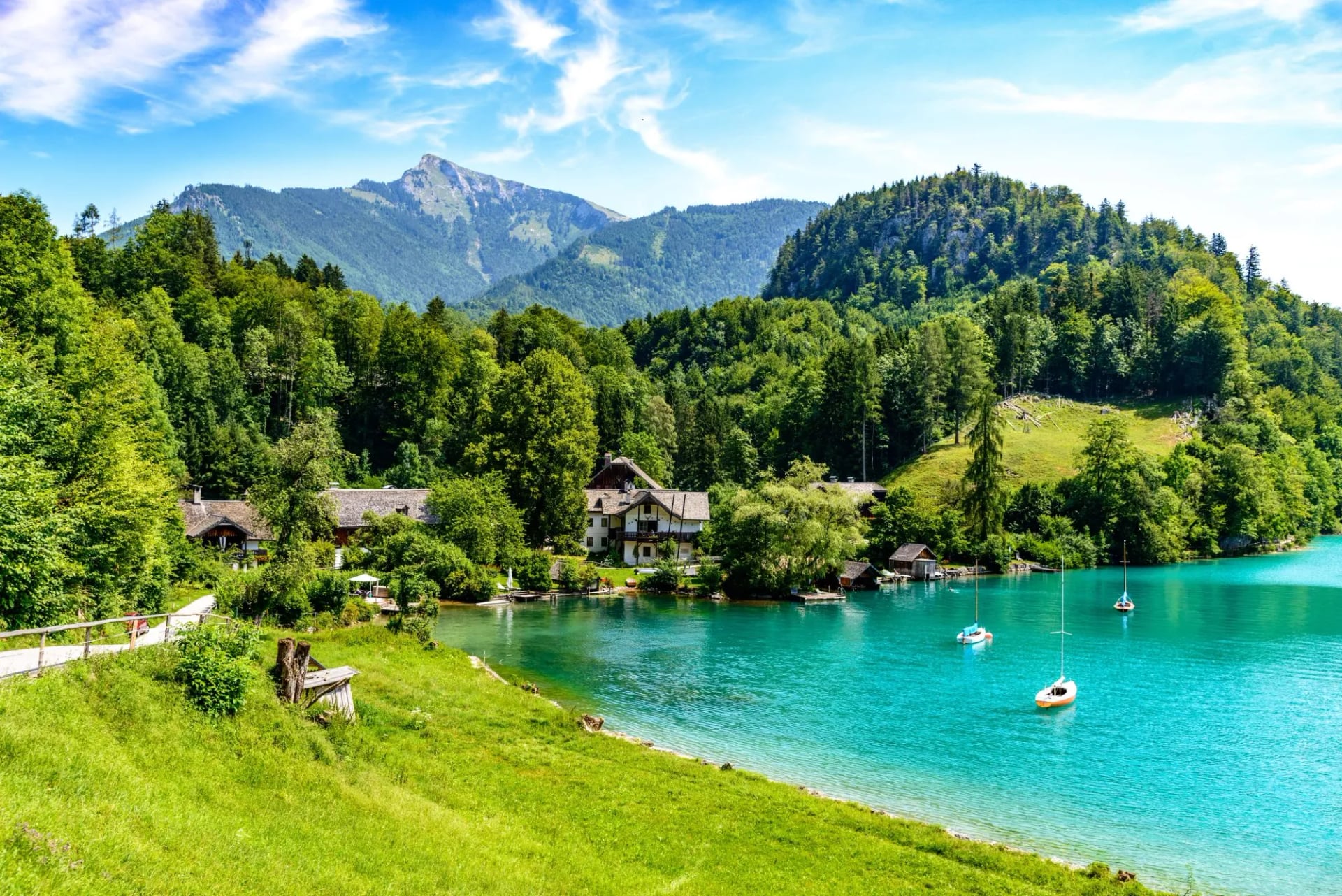
July and August are peak season. The Wolfgangsee and the other lakes reach up to 24°C by midsummer, warm enough for a proper swim after a walk rather than a paddle, and the shallow Mondsee is warmer still. This is also the busiest stretch around Hallstatt and the well-known viewpoints, and accommodation needs booking well ahead. Start the popular walks before nine and the crowds are someone else's problem.
September is arguably the sweet spot: settled weather, thinner crowds and cooler temperatures that suit the longer climbs, with the lakes still warm enough to swim in for the first half of the month. October gives the best colour in the larch and beech and the quietest trails of the year, but the lifts start closing and the daylight is short. For a full month-by-month breakdown across the country, see our guide to the best time to hike in Austria.
Frequently Asked Questions
Lake to Lake, at Your Own Pace
The Salzkammergut rewards a slower kind of hiking, built around water as much as altitude, where a lake view or a lakeside village is rarely more than an hour away. Seven named walks from an hour to a full day, a 370 kilometre trail through the middle of it, one ten-day circuit around the Dachstein, and a transport network that reaches all of them without a car.
Whether you are picturing a few days based by one lake or want help working out a longer route through the wider region, get in touch and we will help you match the walking to your dates and your fitness.

About this author
Jon is our travel advisor and an outdoor adventurer who is happiest on the move. While mountain biking is his personal passion, he thrives on crafting hiking adventures for others — planning routes and adding the little touches that turn a trip into a core memory.













.jpg&w=828&q=75)














































.jpg&w=828&q=75)