Hiking in the Alps: The Ultimate Guide
Which Alpine country to choose, the best long-distance routes, hut versus hotel, how the difficulty grades work, and the months that actually deliver.

Jon
Published July 7, 2026
Edited July 7, 2026
21 min read
Quick links
Don't want to read all this?
We've planned 2,000+ hiking trips. Send your dates, fitness and group size — we'll map the route and book every night.



Eight countries, a few hundred thousand square kilometres of glaciers and pasture, and more marked trail than any one lifetime could cover: that's what "the Alps" actually means once you start planning a trip rather than just picturing one.
That range is the entire appeal of hiking here, and it is also what trips people up. Which country, which trail, hut or hotel, how many days and how fit you need to be are all live questions before you book anything.
This guide answers them, whether you are looking at organised Alps hiking tours, comparing routes region by region, or weighing a self-guided itinerary against a guided one.
What Makes the Alps Different
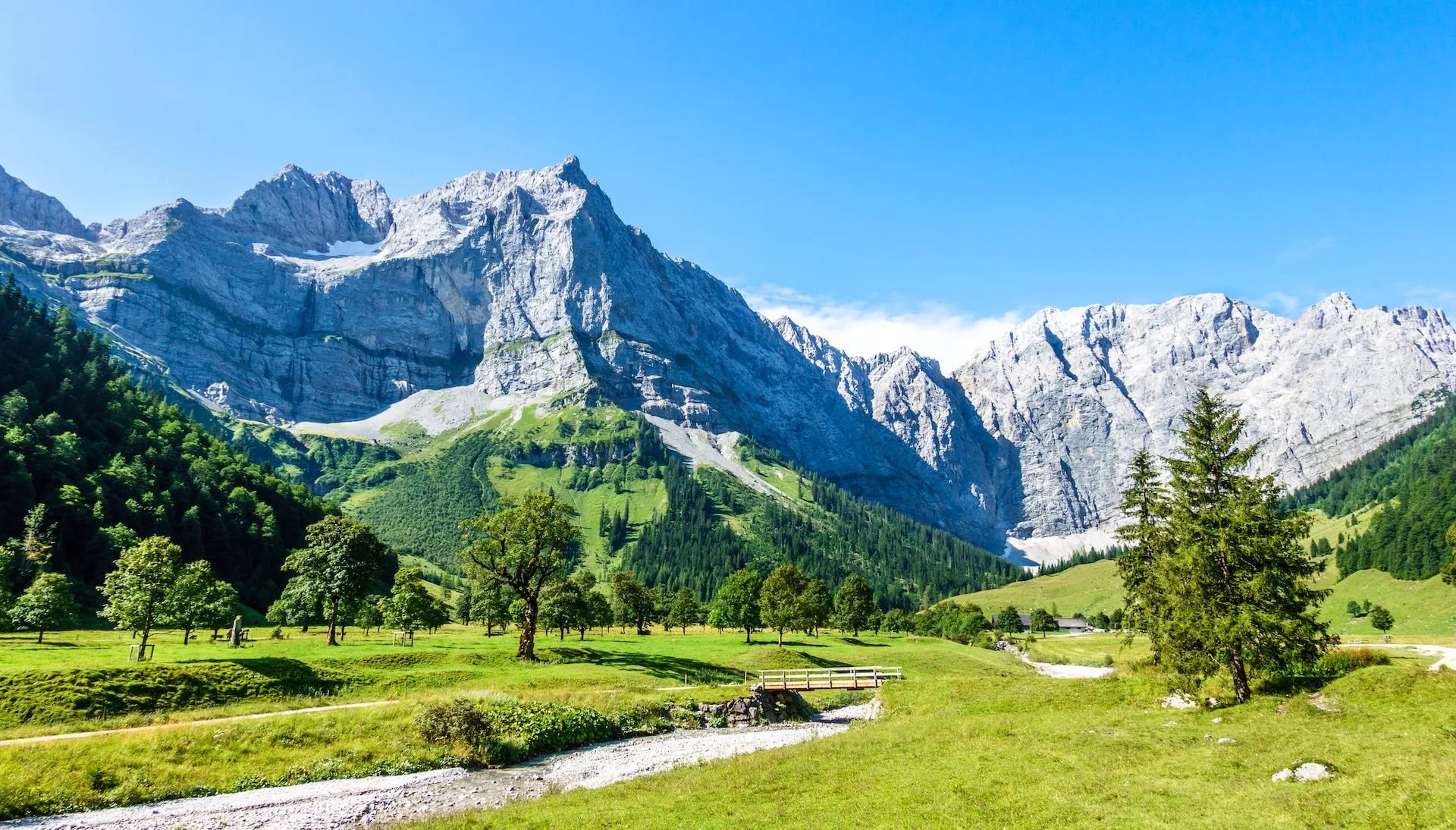
The Alps stretch in an arc from the Mediterranean coast near Nice to the edge of Vienna, crossing France, Switzerland, Italy, Germany, Austria, Slovenia, Liechtenstein and Monaco. A week of hiking can take you from a French valley with vineyards on its lower slopes to a Slovenian gorge with turquoise water.
Two things set the Alps apart from other popular mountain ranges.
First, density of infrastructure: cable cars, mountain railways and postbuses reach deep into terrain that would otherwise take days to walk out of, which means injuries or bad weather rarely mean the end of a trip.
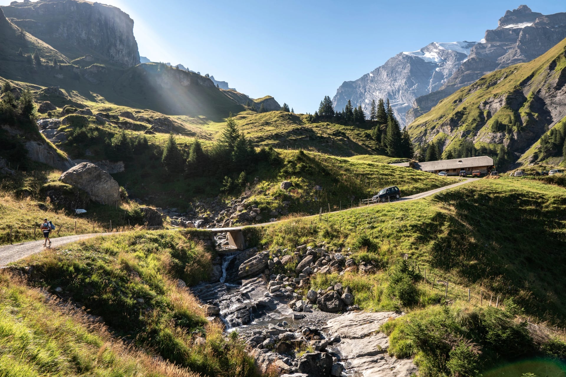
Second, the hut network. The huts sit a day's walk apart across most popular routes, serving three-course dinners and cold beer at 2,500 metres. Hiking hut to hut in the Alps means carrying a much lighter pack than you would need for the Rockies or the Andes, since bedding, food and often a hot shower are provided.
Best Regions to Explore in the Alps
Alps hiking trails range from gentle valley ambles to multi-week traverses, and where you go matters as much as how long you have.
The best hikes in the Alps tend to cluster by country, since France, Switzerland, Italy, Austria, Germany and Slovenia each hike differently even though they share the same central massif.
One trail ignores the borders entirely. Via Alpina is a network of five colour-coded routes. Red, Purple, Yellow, Green and Blue, that together cover more than 5,000 kilometres and 342 stages across all eight Alpine countries: France, Monaco, Italy, Switzerland, Liechtenstein, Austria, Germany and Slovenia.
The flagship Red Trail alone runs the full length from Trieste to Monaco, crossing national borders 44 times and passing beneath some of the range's best-known peaks, including Mont Blanc, the Bernina massif and the Zugspitze. Walking the whole thing would take the best part of two months, so almost everyone picks a themed stretch instead, such as the Bear Trek through the Bernese Oberland.
Pick a region below to see what makes it distinct, and which of our trips cover it.
France and Mont Blanc
The French Alps run all the way from Lake Geneva down to the Mediterranean, and there is good walking along the whole length of them. The part almost everyone comes for is the Mont Blanc massif, where one mountain stays in view for almost the entire trip.
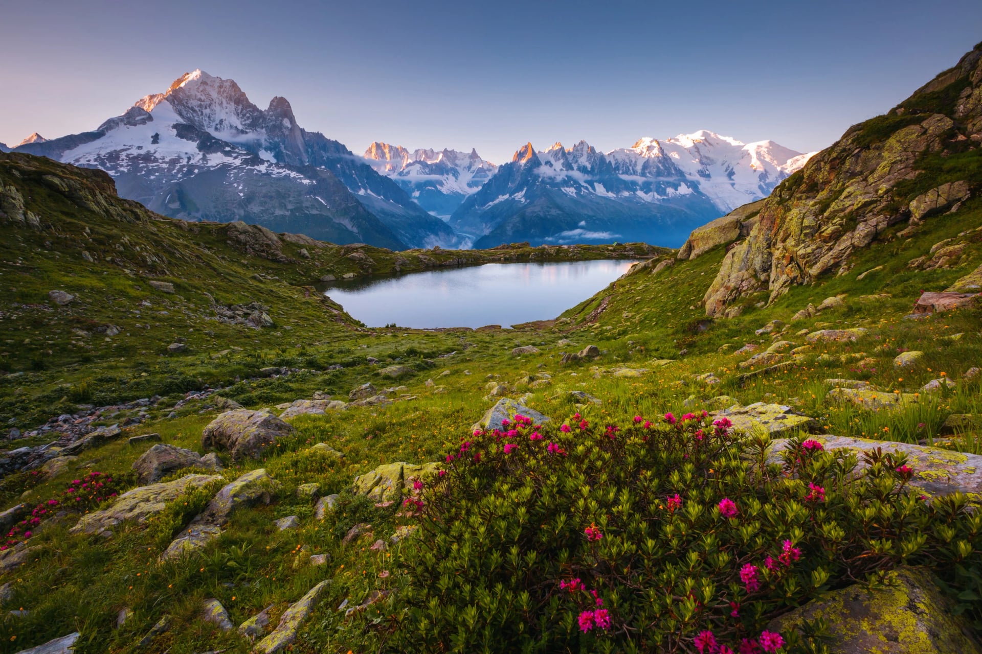
Mont Blanc dominates the skyline for days at a time, and the trails here spend a lot of time on moraine and glacier-carved rock rather than the softer pasture you get further east. Chamonix itself sets the tone: a proper mountaineering town, thick with guiding offices, gear shops and climbers fresh off the Aiguille du Midi cable car, rather than a quiet alpine village.
It's also where modern mountaineering effectively began: the first confirmed ascent of Mont Blanc in 1786 is generally credited as the birth of the sport, and the town's identity has been built around the mountain ever since.
French refuges lean simpler than their Swiss or Italian counterparts, usually just a bunk, a shared table and whatever the guardian has cooked that night, often with a glass of local wine included. Meals lean Savoyard: expect tartiflette, reblochon and other regional dishes that owe to the local dairy farms.
The classic Tour du Mont Blanc circuit here runs 10 to 12 days and around 170 kilometres around the massif, crossing France, Italy and Switzerland and gaining roughly 10,000 metres of ascent along the way. It's demanding but not technical, which is why it's the busiest long-distance route in the range and why huts book out months ahead in July and August.
Because the route crosses three countries, the language, food and even the style of trail markers can change within a single day's walk, which is part of what makes it feel like more than one long climb. The route isn't fixed either.
Several stages offer a harder, higher alternative in exchange for better views, such as the Fenêtre d'Arpette above Champex-Lac, a narrow notch overlooking the Trient Glacier that's a genuine step up from the standard Alp Bovine option and only worth taking in settled weather.
Switzerland
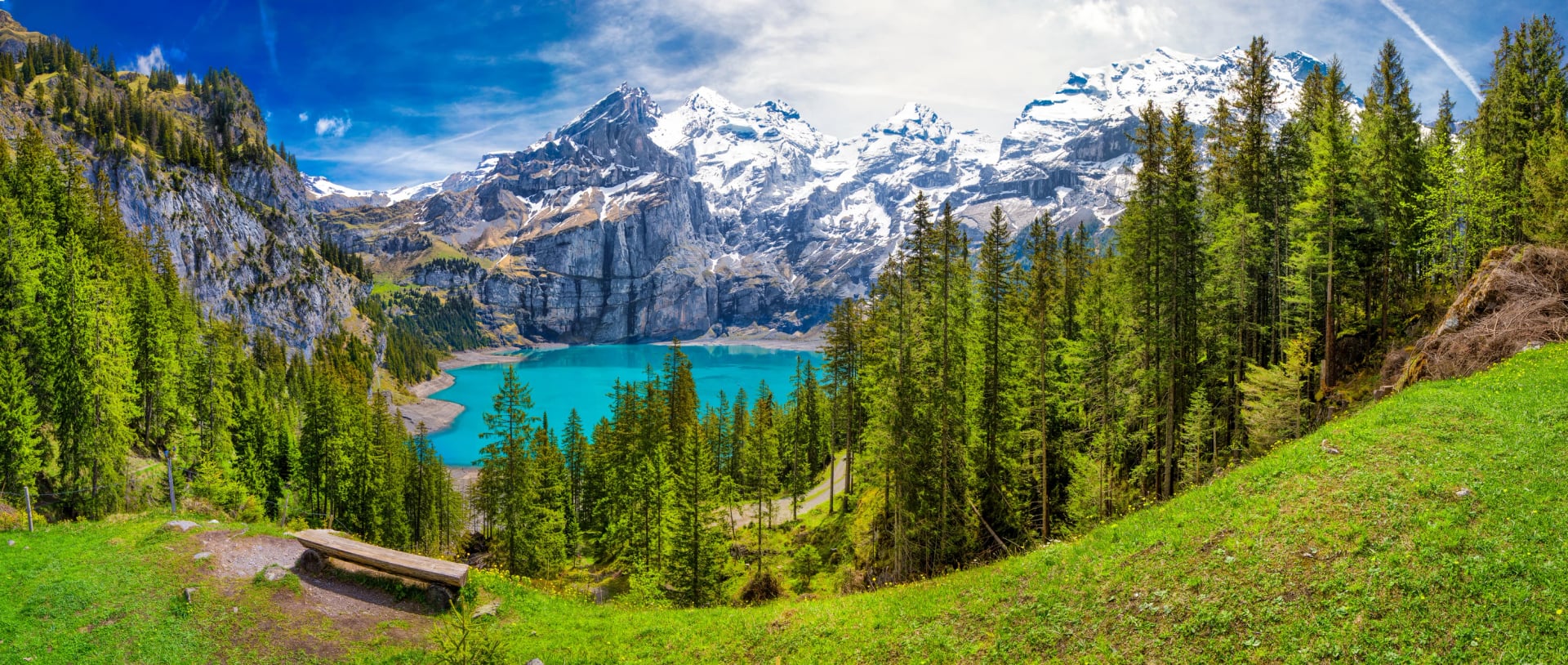
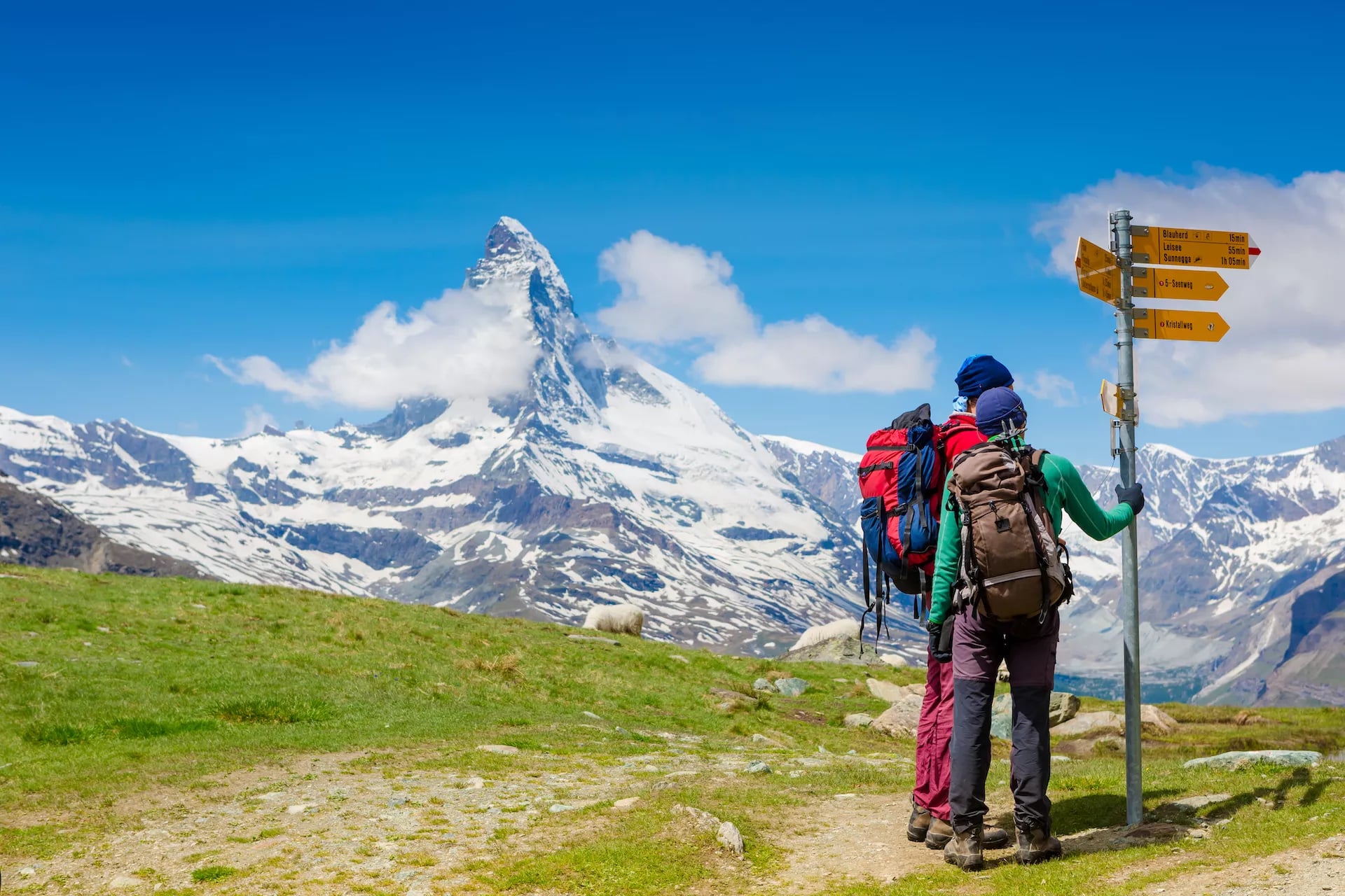
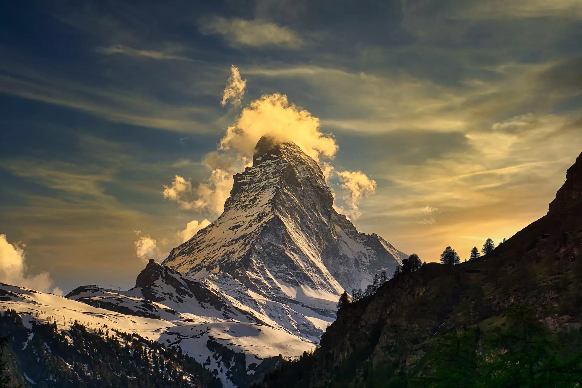
Switzerland is where the Alps look most like the postcard, and three things make it worth the extra cost. The first is the scenery: the Matterhorn's near-perfect pyramid, glacier views that don't let up for days, and villages like Zermatt and Mürren that are car-free by design rather than by accident. The second is that everything works, from trails signposted with walking times to the next hut or village to trains and postbuses that arrive when the timetable says they will, and huts better equipped than their neighbours across any border. The third is that the walking goes higher and stays higher here than anywhere else in the range.
The trade-off is money. Switzerland is the most expensive country in the range to hike in by a clear margin, so budget accordingly. If you are weighing up when to come, our Switzerland hiking seasons guide takes the same question valley by valley.
Zermatt's relationship with the mountain has a dark history behind it: the first ascent of the Matterhorn in 1865 ended in tragedy when four of the seven climbers fell to their deaths on the descent, an event that made headlines across Europe and is generally considered the moment that ended mountaineering's reckless "golden age." The rope from that climb, and its frayed, telling break point, is still on display in the village today.
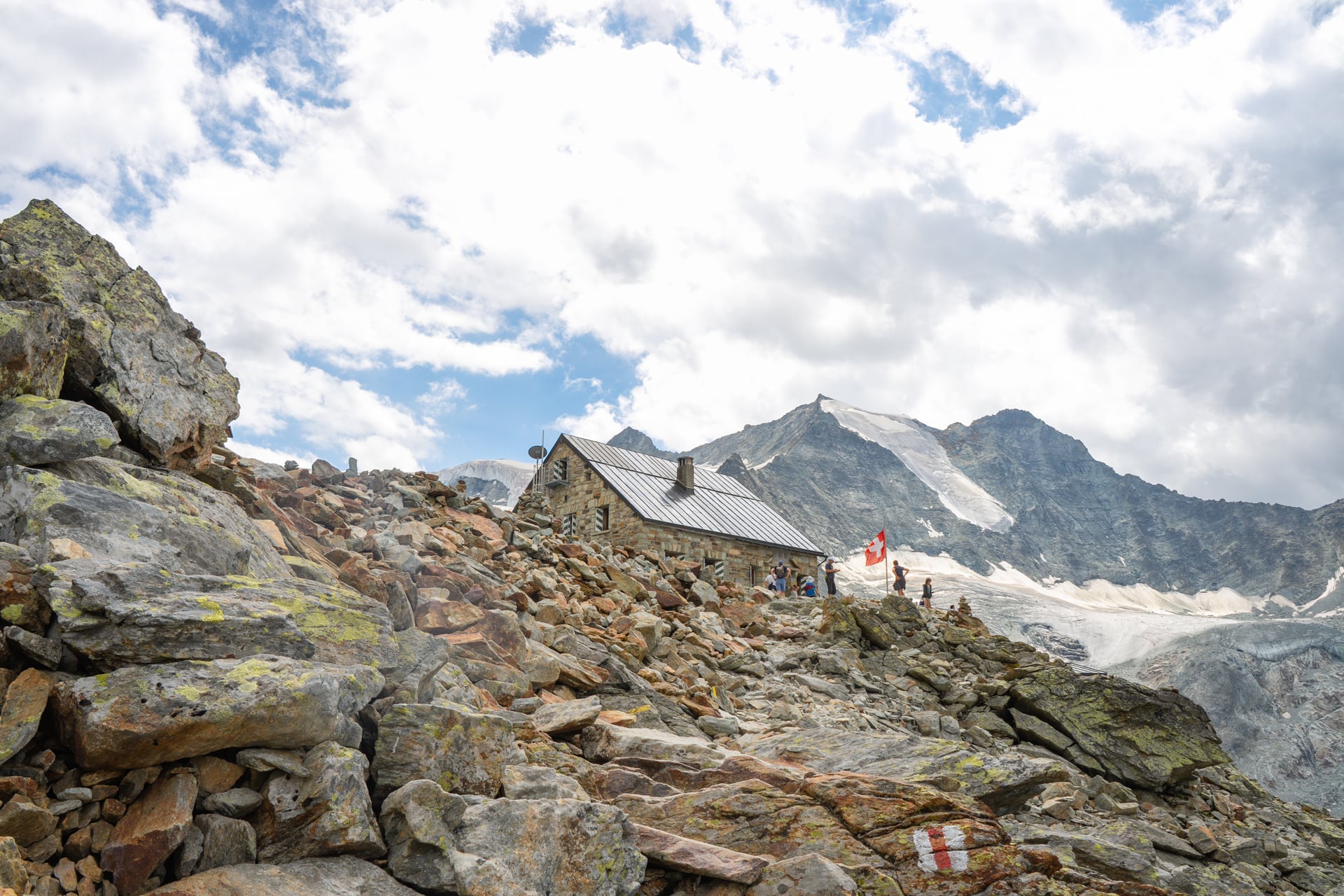
The Haute Route is the classic here, and it's worth comparing directly to the TMB rather than treating it as an interchangeable alternative.
Both start in Chamonix, but where the TMB loops back on itself through three countries at a relatively forgiving pace, the Haute Route runs point to point all the way to Zermatt over a string of eleven passes, several of them near or above 2,800 metres and topping out just under 3,000 at the Col de Prafleuri, with fewer huts, fewer people, and less room for error if the weather turns.
Most hikers who've done the TMB and want more take this on next rather than the other way round.
Villages along the way still run on dairy farming, and rösti, fondue and Älplermagronen (an alpine take on mac and cheese, usually with bacon and apple sauce on the side) show up on hut menus more often than pasta or stew.
Italy: The Dolomites
Hiking in the Italian alps feels almost architectural.
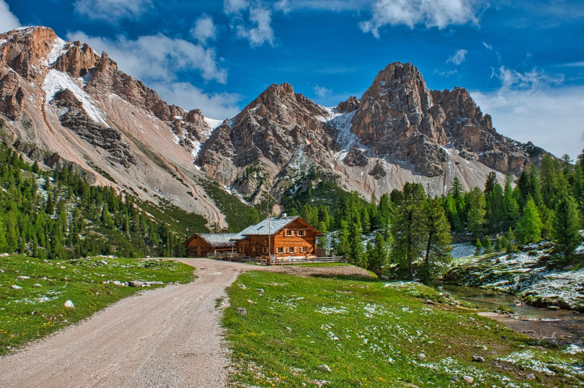
The Dolomites are limestone rather than granite, so instead of rounded glaciated peaks you get sheer towers, spires and vertical faces that turn pink and orange at sunset, a local phenomenon called enrosadira. Via ferrata routes, fixed steel cables and ladders bolted into the rock, are woven through much of the range, so you'll share trails with people clipped into the mountain as often as walking beside it.
Rifugios lean towards proper Italian cooking rather than simple hut fare, think canederli (bread dumplings), speck and polenta, and World War I history is everywhere underfoot: the front line ran straight through this landscape, and tunnels, trenches and fortifications still line many of the passes.
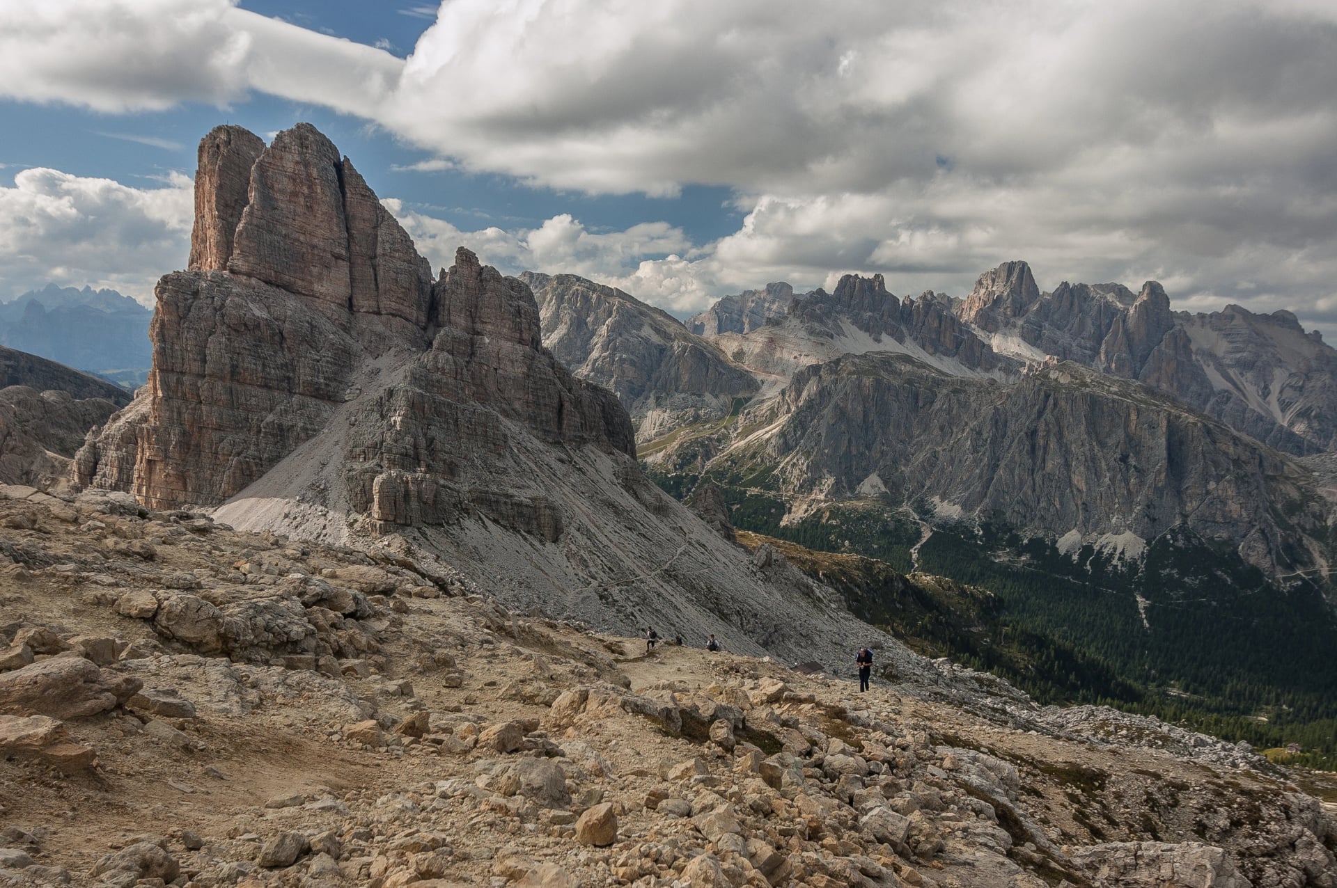
The range earned UNESCO World Heritage status in 2009, recognised as much for its geology as its beauty, and the valleys around the Sella massif are still home to Ladin, a language older than Italian in this particular corner of Italy and spoken by around 30,000 people today. It's not unusual to see trail signs in three languages, Italian, German and Ladin, within the same valley.
The range's classic long-distance route, the Alta Via 1, runs hut to hut for about nine days and suits any regular hiker.
A second, more demanding route, the Alta Via 2, further south through the Sella massif, Marmolada and the Pale di San Martino, is a genuinely different trip rather than a longer version of the first: proper via ferrata sections feature throughout rather than as occasional detours, so it suits hikers already comfortable with exposure and fixed cables. A self-guided version exists, but unless you have real via ferrata experience a guided trip is the sensible choice.
Austria & Germany
Hiking here has a softer, more pastoral character than the high glaciated west or the vertical Dolomites.
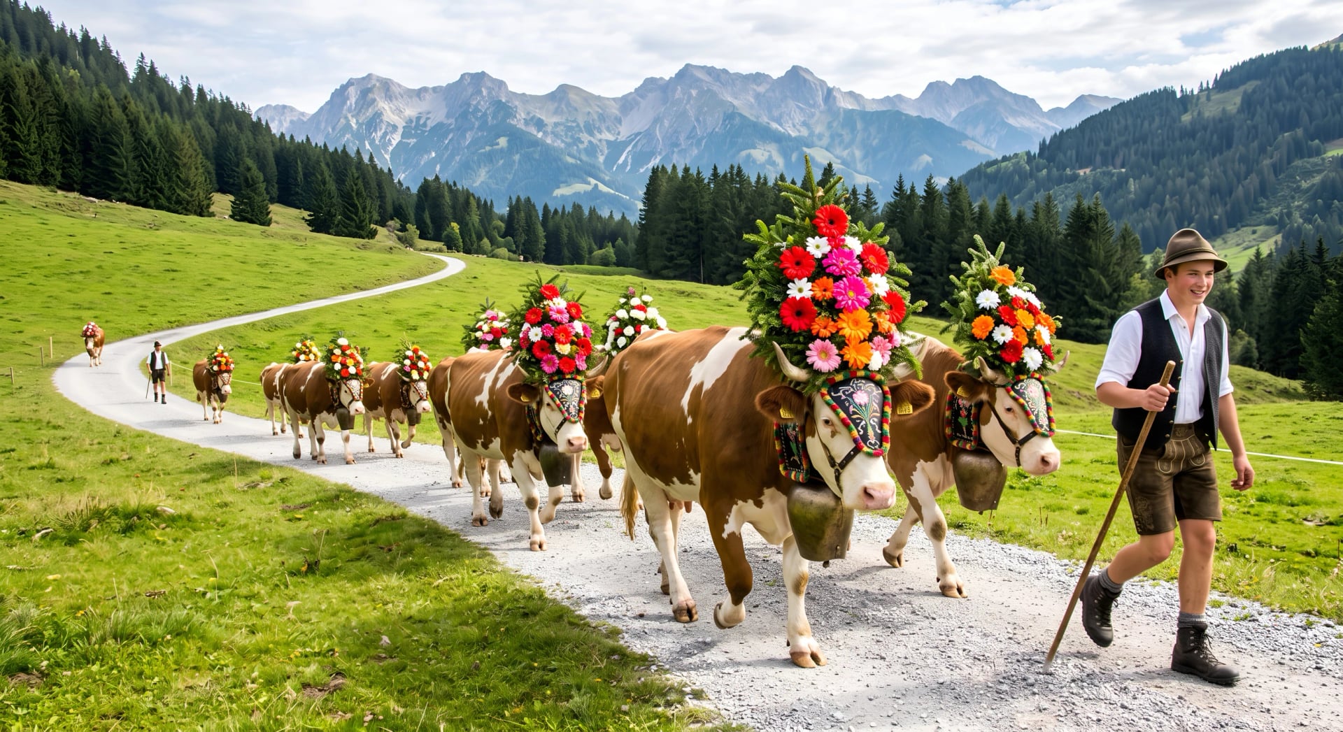
Trails spend more time in flower-strewn meadows and working dairy pasture, cowbells are a near-constant soundtrack, and huts (Hütten) and mountain inns tend to be cheaper and more relaxed than their Swiss counterparts, often family-run for generations.
Anyone hiking here in September may catch an Almabtrieb, the centuries-old autumn tradition of driving cattle down from the high pastures to the valley for winter, with the animals decorated in flower headdresses and led through villages to music and local food stalls.
It's also the easiest region to reach and move around in, since Innsbruck, Munich and Salzburg are all well connected by train and regional bus right up to the trailheads.
In Tyrol, the Ötztal Trek is the full, technical version, glacier crossings, crevasses and rope work included, but its highlights section strips that back to a shorter hut-to-hut route between Dortmunder Hütte and Schweinfurter Hütte, crossing the Finstertaler Scharte at nearly 2,800 metres for close-up views of Wildspitze, Tyrol's highest peak, without needing glacier travel experience to attempt it.
Bavaria's lake-and-foothill routes suit anyone who'd rather stay in hotels than huts, and Austria's Salzkammergut, a region of glacial lakes and salt-mining history near Salzburg, links Wolfgangsee, Hallstatt and the area's other lakes on easy, largely lakeside trails.
Slovenia
The Julian Alps are compact compared to the ranges further west, but what they lack in scale they make up for in colour and cost.
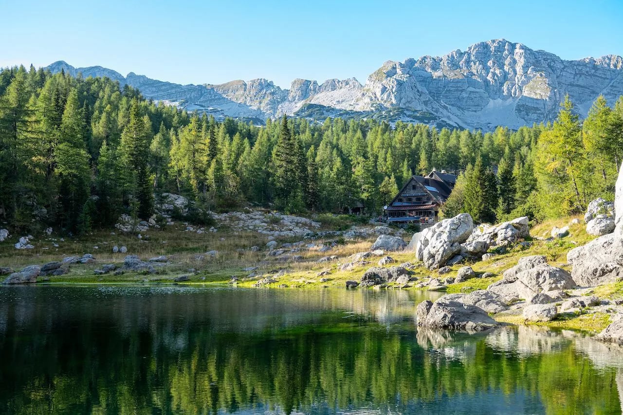
The Soča river runs an almost unreal turquoise, coloured by fine glacial rock flour suspended in the water, and glacial lakes sit at improbably vivid shades of green and blue. Like the Dolomites, the Soča front saw heavy fighting in the First World War, and that history sits alongside the scenery rather than apart from it.
This is consistently one of the cheapest regions in the whole Alpine arc for both accommodation and food.
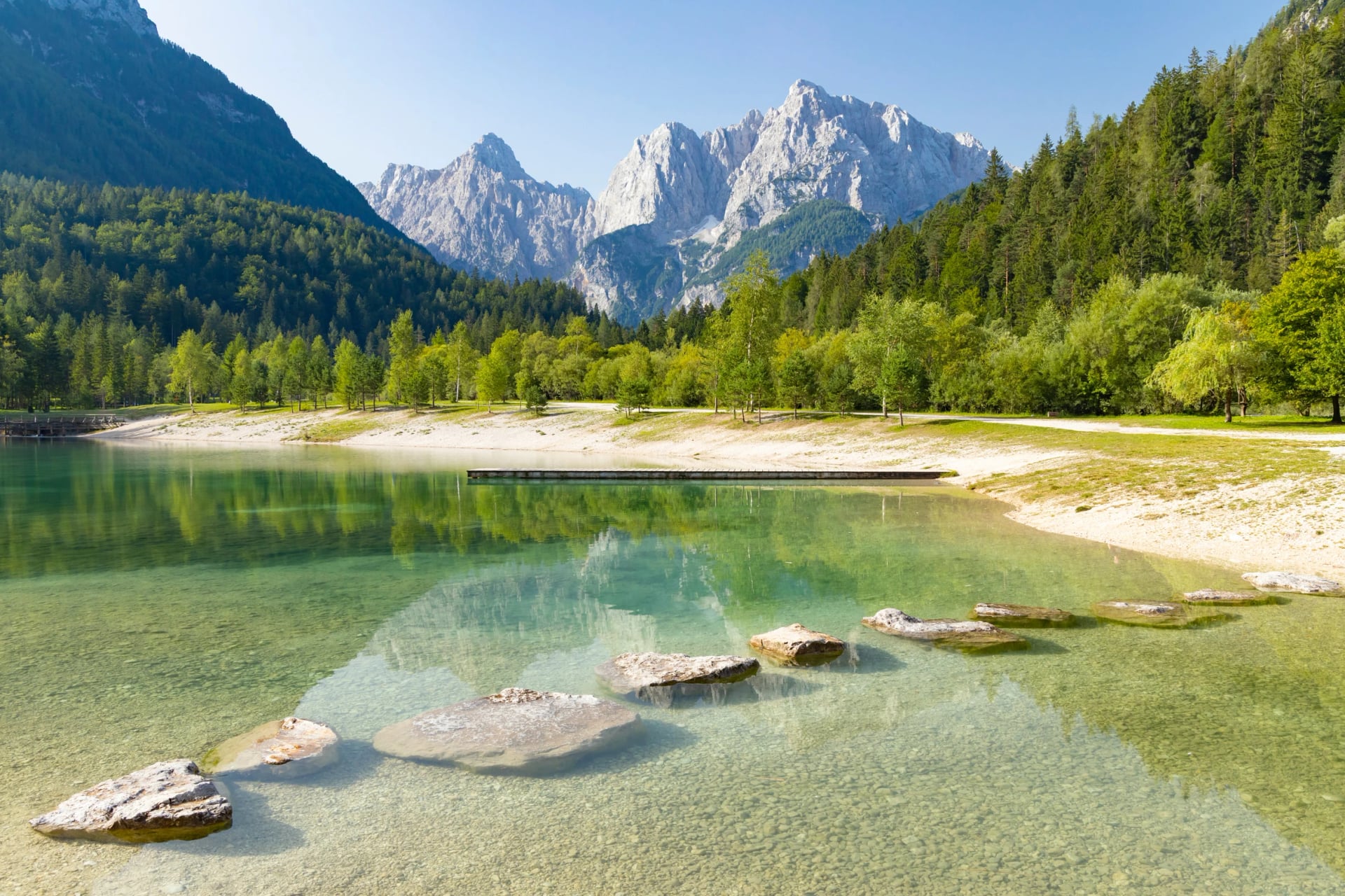
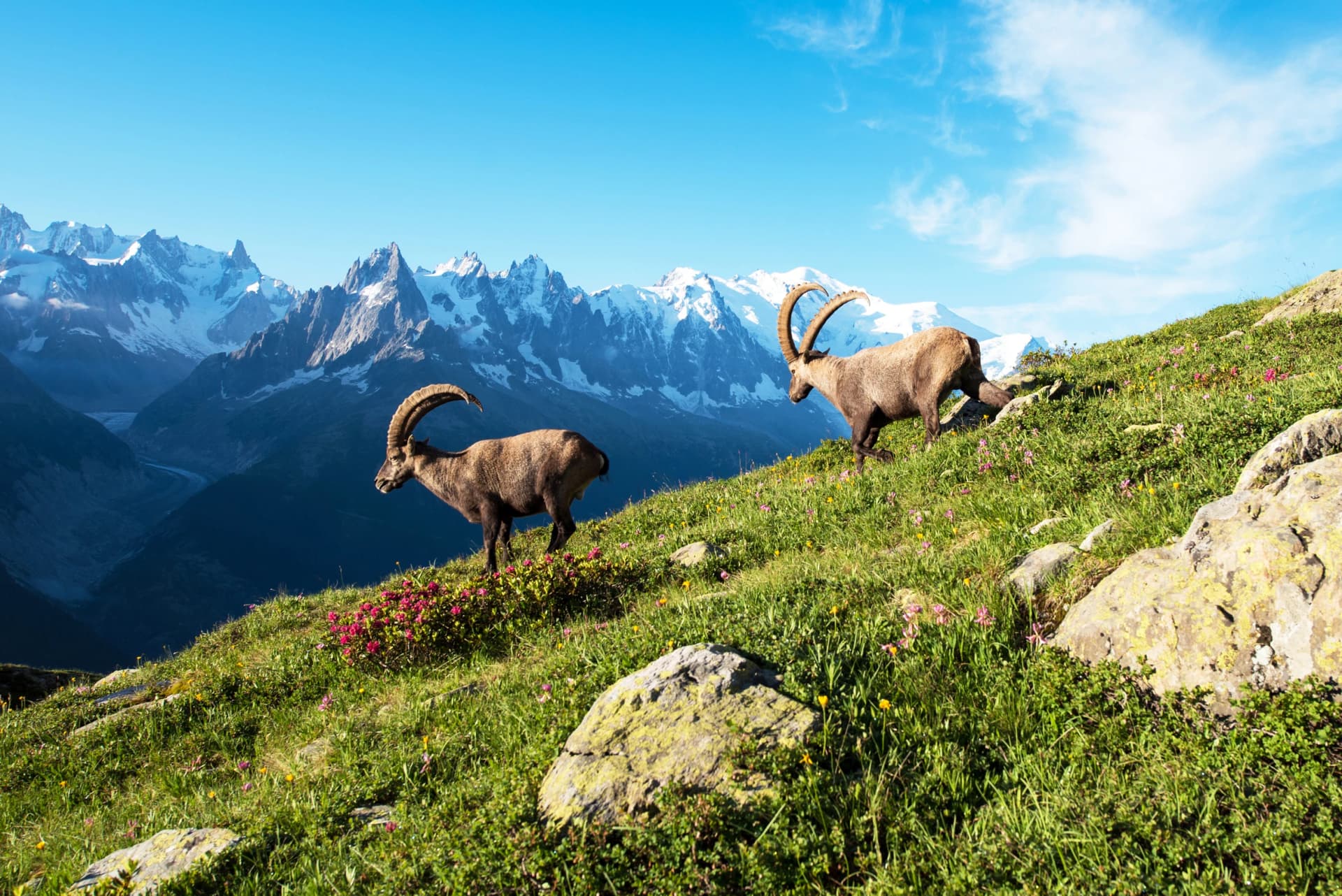
It's also quieter: Triglav National Park sees a fraction of the foot traffic of the Dolomites or the TMB, and ibex sightings along the higher trails are common rather than a novelty.
Triglav itself, the peak the park is named after, is Slovenia's highest mountain and its most prominent national symbol, appearing on both the flag and coat of arms, and there's a long-standing local saying that every true Slovenian should stand on its summit at least once in their life.
How Hard Is Hiking in the Alps?
"Moderate" means something different in every country, which catches out a lot of first-time visitors. A moderate-rated trail in Austria might involve 800 metres of ascent and a short cable-assisted rock step. A similarly graded route in Slovenia could be twice as long but entirely on gentle forest paths.
Always check the specific grading system used on the route you're booking rather than assuming a label carries over from one country to the next.
Two separate scales matter here: physical difficulty (distance, elevation gain, number of days) and technical difficulty (terrain, exposure, whether you'll need via ferrata kit or just sturdy boots).
A trail can be physically easy and technically demanding, or the reverse, so it's worth checking both before you commit.
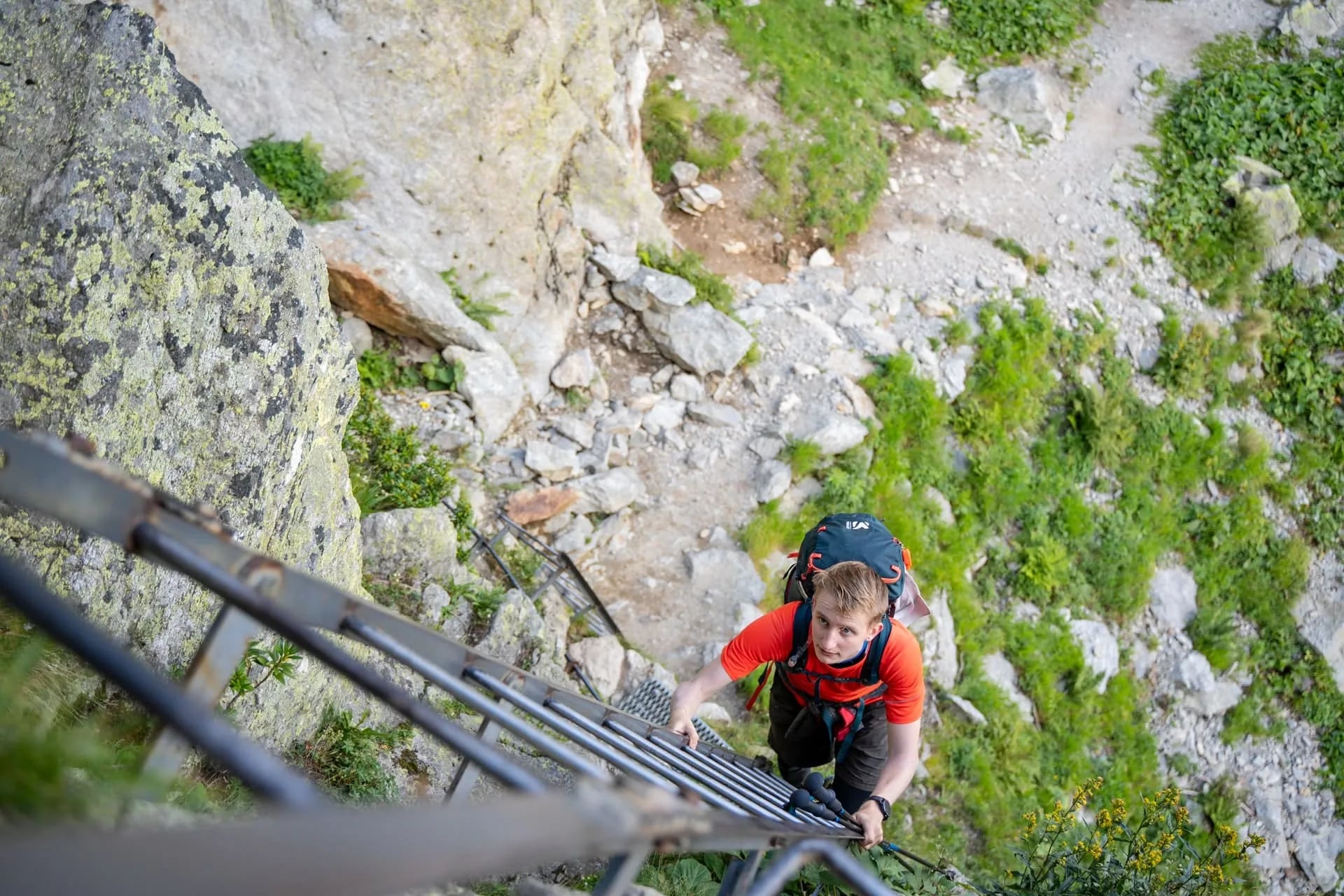
As a rough fitness benchmark, comfortably walking 15 to 20 kilometres with 800 to 1,200 metres of ascent, and being able to repeat that for several consecutive days rather than just as an occasional weekend outing, covers most standard hut-to-hut routes in this guide.
Altitude adds its own tax: the same distance feels noticeably harder above 2,000 metres than it does at sea level, so it's worth testing boots and pack weight on a few long walks before you go rather than discovering blisters on day one.
Beginners have plenty of options: our 3-Day Alta Via 1 in Comfort route bases you in a hotel in Val Badia for gentle daily walks, while day hikes around Lake Geneva, Interlaken or Lake Bled offer big views for little physical strain.
Huts and Hotels in the Alps
Most multi-day hikes in the Alps come down to one choice: huts or hotels.
Huts are simple, often shared-dorm accommodation with a communal dinner, usually run by regional alpine clubs and staffed from around mid-June to late September, with the exact opening and closing dates either side of that shifting with the season's snow.
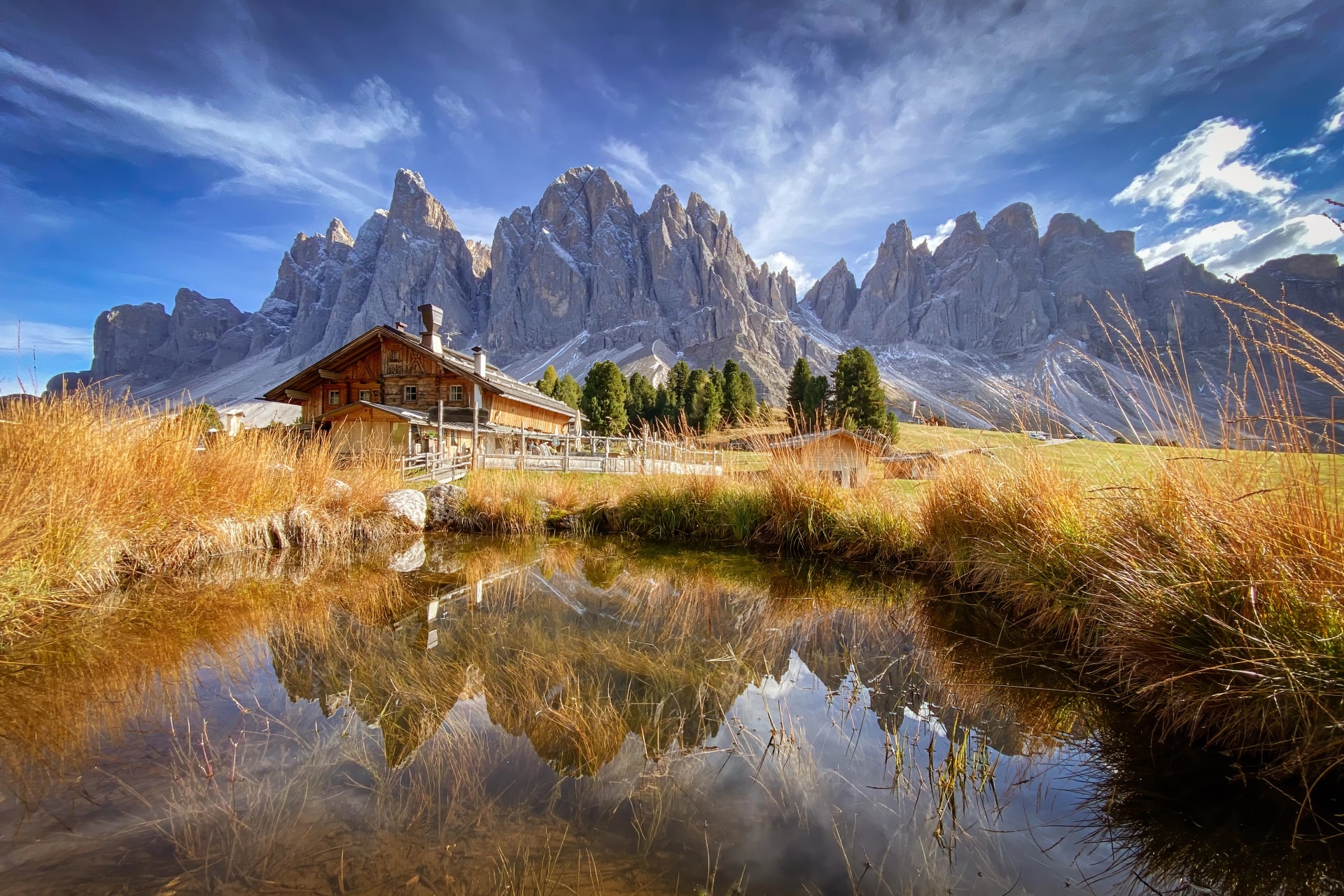
Hotel-based routes, common on trails like the Bavarian Alps Walking Holiday or sections of the TMB, mean private rooms and proper showers every night, at the cost of sometimes longer road transfers between stages.
Campgrounds are a third option on routes that pass through alpine villages. Wild camping and bivouacking are technically possible above the treeline on some routes, but rules differ by country and even by province, so check local regulations rather than assuming dusk-to-dawn bivouacking is allowed everywhere.
Book early regardless of which you choose. Huts on popular sections of the TMB and Alta Via routinely fill up four to six months ahead for peak season, and once a hut is full, your whole itinerary has to shift around it.
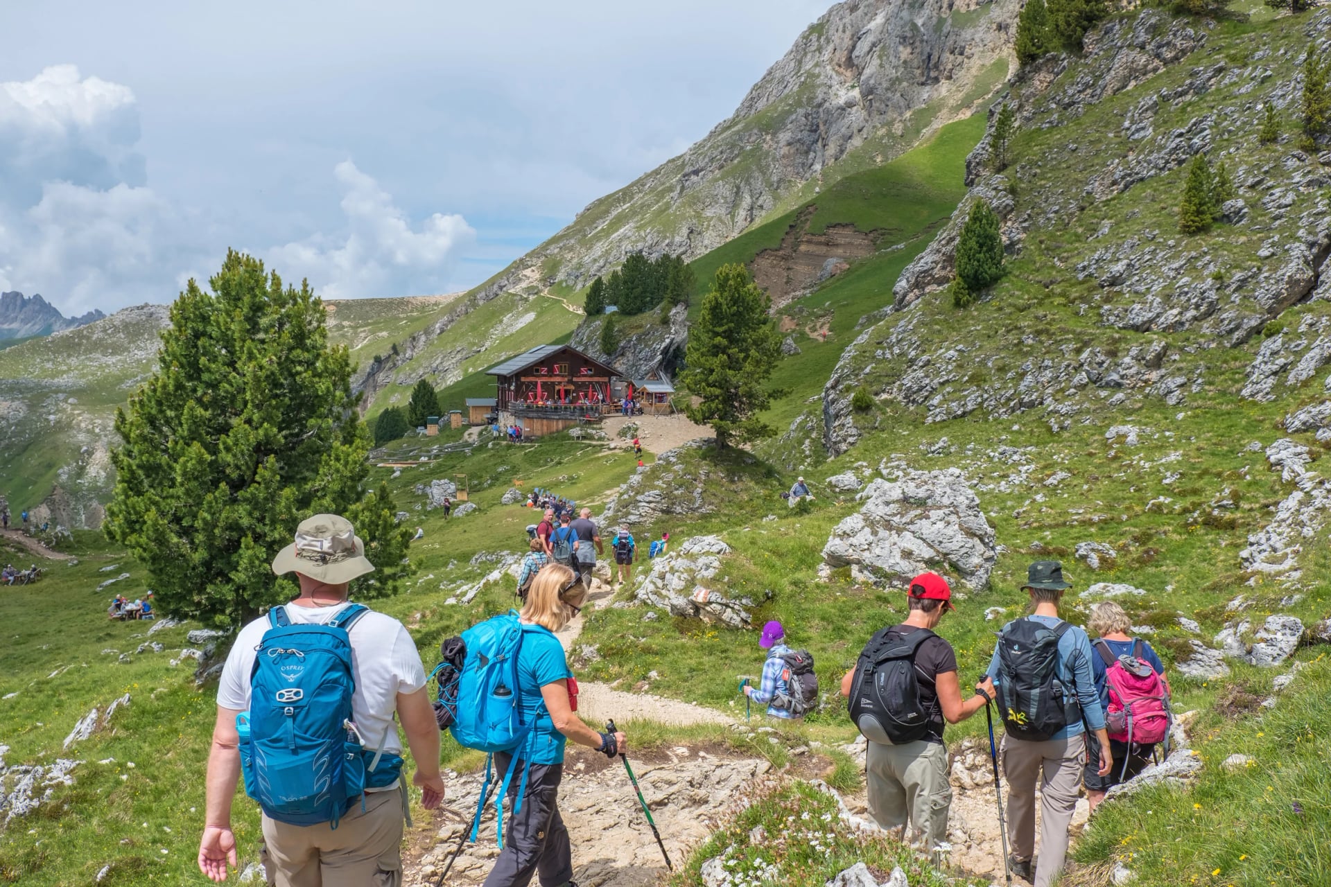
A tour provider can hold the hut reservations, hand you route notes and GPS files, and arrange baggage transfers so your bag is waiting at the next hut rather than on your back, all locked in months before availability disappears. If you're not sure where to start, get in touch and we can help you with that.
What to Pack and Stay Safe
Layering matters more here than almost anywhere else in Europe. Valley floors can sit at 25°C while a pass three hours' walk away holds snow well into July, particularly on north-facing slopes above 2,000 metres.
Pack a breathable base layer, an insulating midlayer, a proper waterproof shell, and a packable down jacket for evenings at altitude, when the temperature drops fast the moment the sun goes behind a ridge.
A few less obvious items make more difference than people expect on a multi-day hut route. A backpack with good back support and a fit adjusted to your torso length matters more than its exact size. Capacity needs depend on whether you're doing a hut-to-hut route or a hotel-based holiday with baggage transfer.
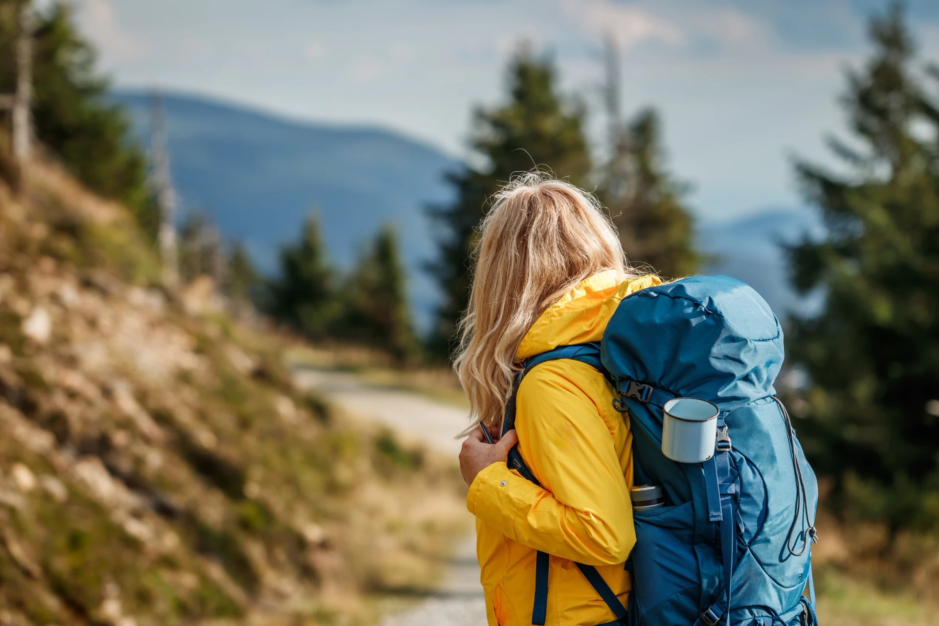
Either way, bring a sleeping liner rather than a full sleeping bag, as most huts require one for hygiene. Trekking poles earn their keep on long descents, a headlamp is essential for early starts and finding your way around a hut after dark, and gloves plus a warm hat are worth packing even in August, since a pass at 2,700 metres feels nothing like the valley you left that morning.
Don't skip the sun protection either: UV exposure climbs fast above 1,500 metres and burns catch people out even on overcast days.
Weather turns quickly at altitude, and thunderstorms are a real risk on exposed ridgelines, particularly from early afternoon onwards in summer. Start early, check the forecast the night before and again at breakfast, and know your bail-out points on any high-altitude stage.
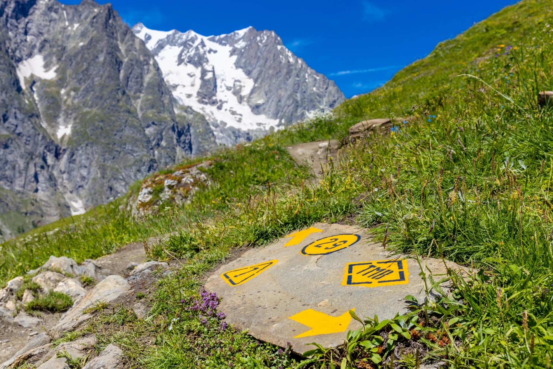
Trail markings vary by country, so it's worth learning the local system (painted blazes, cairns, numbered signposts) before you set off rather than relying on GPS alone, since Alpine terrain can strip a phone signal fast.
Currency and Cash
Switzerland and Liechtenstein use Swiss francs rather than euros. France, Italy, Austria, Germany and Slovenia are all in the euro, so a route that crosses into Switzerland means carrying two currencies or paying card fees at the border.
Cash matters more here than in most of Europe. Many remote huts have unreliable card readers or do not take cards at all, and the last reliable ATM is usually in the valley town at the trailhead, so draw enough for a few nights of half board before you start walking rather than assuming you can tap to pay at 2,500 metres.
Getting to the Alps and Around
Geneva, Zurich, Munich, Milan, Innsbruck and Salzburg all sit within two to three hours of major trailheads, and most are served by budget carriers from the UK and elsewhere in Europe.
Getting between trailheads once you're on the ground rarely needs a car. Cross-border links between the gateway cities are usually direct: Geneva to Chamonix is about an hour and a quarter by direct bus or closer to three hours by train with a change at Saint-Gervais or Martigny, Milan to Bolzano for the Dolomites runs under four hours by rail, and Innsbruck connects to the Stubai valley by regional bus in well under an hour.
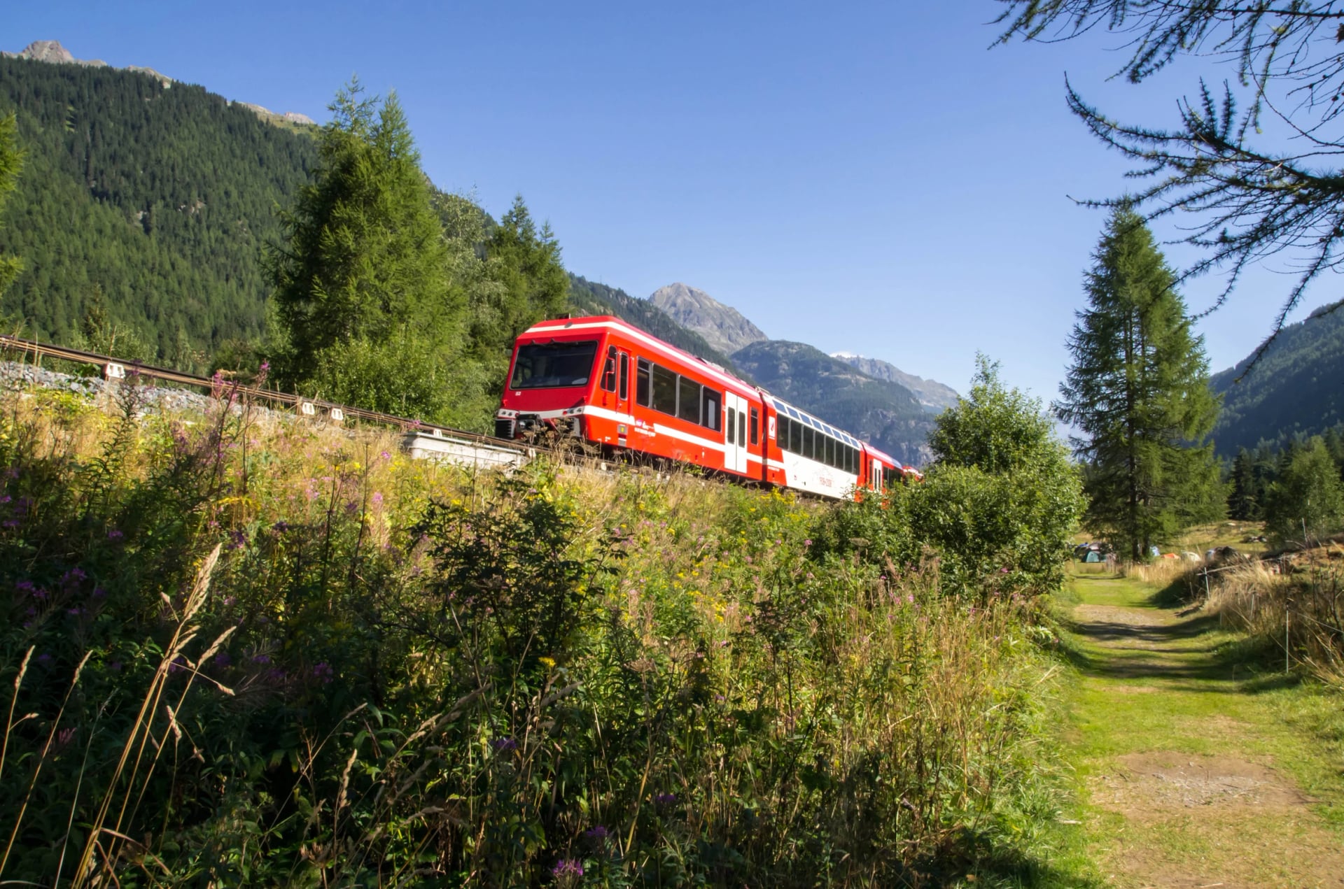
The Mont Blanc Express runs from Saint-Gervais through Chamonix to Martigny in Switzerland, tracing a section of the TMB itself and making it easy to join or leave the trail partway along. Within Switzerland and Austria especially, postbuses fill the gaps the railways don't reach, running scheduled routes up narrow valley roads to villages that would otherwise mean a taxi or a long walk in.
If you're covering real distance, check out a regional pass before you go: the Swiss Travel Pass bundles trains, postbuses and some cable cars into one ticket, and similar regional passes exist for Austria and Italy's South Tyrol. Many hut-to-hut hiking routes are designed around these transport links so you never need a hire car.
Best Time to Hike in the Alps
So, what's the best time to hike the Alps? The genuine peak window is early July to the end of August, when huts, mountain restaurants and cable cars are all fully open and trail conditions are at their most reliable. Outside that window, timing gets more of a gamble.
Early June can mean lingering snow on high passes depending on how the previous winter went, and by mid-September most huts above the treeline have already closed for the season, even though lower valleys stay hikeable well into autumn.
May: Most high-altitude trails are still snowbound, and huts above 2,000 metres haven't opened for the season yet. This is a month for valley walks and lower routes rather than classic hut-to-hut treks, good for scouting a region or tackling the low-altitude sections of trails, but not for anything crossing a high pass.
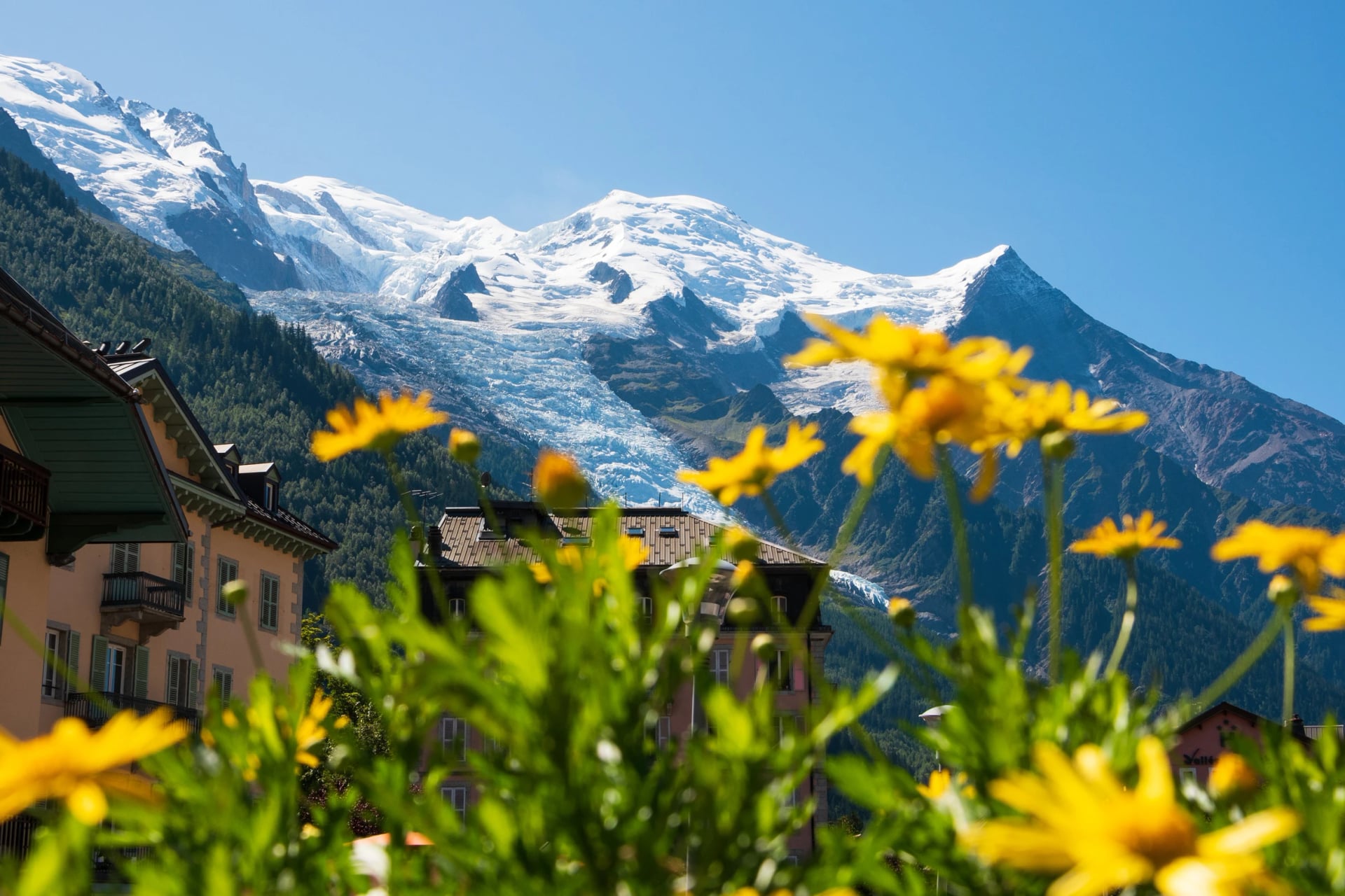
June: Snow cover in early June depends entirely on how the previous winter went, and high passes can still be blocked well into the month after a heavy snow year. By late June, most huts have opened, wildflower meadows are at their fullest, and trails are noticeably quieter than in high summer. A good trade-off if you don't mind checking route conditions closer to your travel date.
July: This is when the season properly starts: huts, mountain restaurants and cable cars are all open, trail conditions are at their most reliable, and daylight hours are longest. It's also when school holidays begin across much of Europe, so popular routes like the TMB fill up fast and huts on peak sections should be booked months ahead.
August: Conditions are as reliable as July, but with the added crowds of the main European holiday month, particularly the first two weeks when French and German school holidays overlap. Afternoon thunderstorms grow more frequent this deep into summer, so an early start matters more than ever.
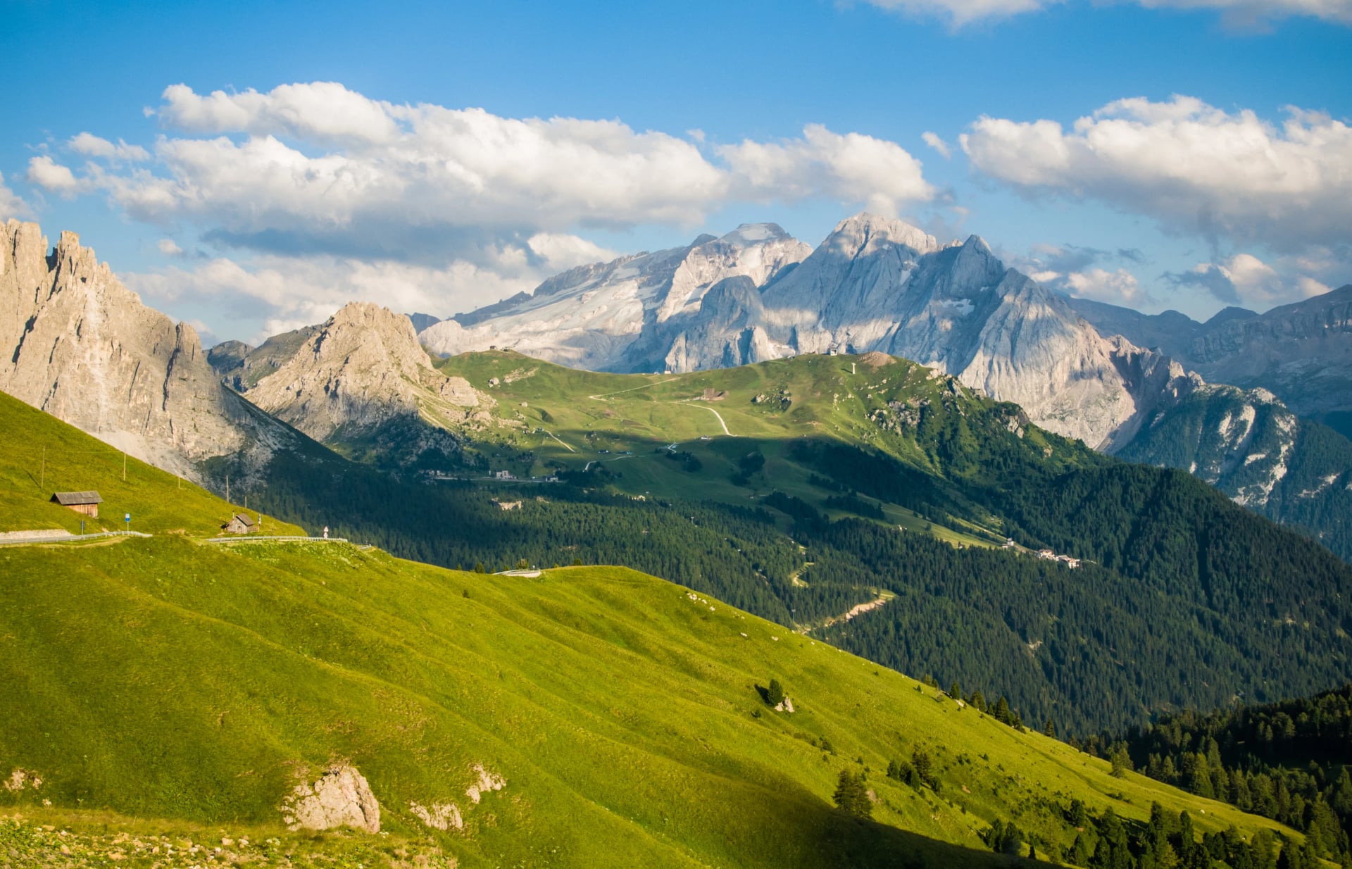
September: Early in the month often brings the best combination of stable weather and thinning crowds, since school holidays have ended but huts and lifts are still fully running. By mid-to-late September, most huts above the treeline start closing for the season and the first proper cold snap at altitude becomes a real possibility, though lower valleys and routes like the Triglav Panorama hike in Slovenia stay hikeable well into autumn.
Whatever month you pick, weather at altitude can still turn quickly, so treat any forecast for a valley town as a rough guide rather than what you'll actually get on a 2,500-metre pass.
Wildlife and Farm Animals
Alpine ibex are one of the range's quiet conservation success stories.
Hunted almost to extinction by the 19th century, the entire modern population descends from a small group protected in Italy's Gran Paradiso National Park, and they're now common enough that you'll often spot them grazing within a few metres of a trail, largely unbothered by hikers.
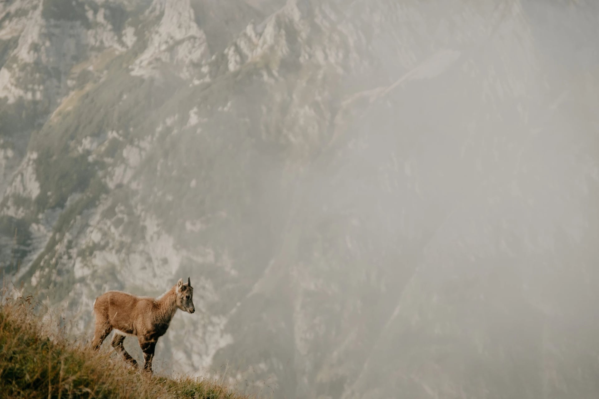
Chamois are shyer and quicker, built for sprinting up near-vertical rock, while marmots announce themselves with a sharp warning whistle long before you actually see one duck into a burrow.
Look up on a clear day and you might catch a bearded vulture, another genuine comeback story. It was hunted to extinction across the Alps by 1887 and only reintroduced from the 1980s onward.
The animal most likely to actually cause a problem isn't wild at all.
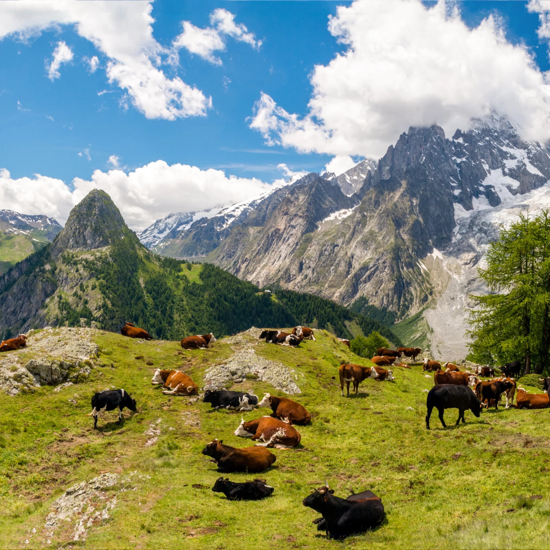
Alpine pastures are grazed by cattle throughout the hiking season, and while attacks are rare, they do happen, most often when a herd includes calves and a hiker (often with a dog) ends up between a cow and its young.
If a trail crosses a pasture: keep at least 20 metres from any herd, never approach or pet a calf, stay calm and don't turn your back if a cow starts to react, and, counterintuitively, let a dog off its lead rather than hold it close, since a loose dog can outrun cattle and a leashed one can't.
Frequently Asked Questions
Ready to Hike the Alps?
Whichever trail suits your fitness and timeframe, the trip starts with picking the right route for you.
Our Alps hiking tours cover everything from valley-based hotel holidays to full hut-to-hut treks across France, Switzerland, Italy, Austria, Germany and Slovenia.
Not sure which region or route fits you best? Get in touch with our team that plans routes across every country in this guide and handles the hut bookings, GPS files and baggage transfers so you don't have to.

About this author
Jon is our travel advisor and an outdoor adventurer who is happiest on the move. While mountain biking is his personal passion, he thrives on crafting hiking adventures for others — planning routes and adding the little touches that turn a trip into a core memory.









.jpg&w=828&q=75)




















































.jpg&w=828&q=75)





















