Bosnia and Herzegovina for Hikers: Know Before You Go
Wild Dinaric peaks, remote highland villages, and one of Europe's last primeval forests, all at Balkan prices. Here's how to plan a hiking trip to Bosnia.

Suzana
Published August 17, 2026
Edited August 17, 2026
11 min read
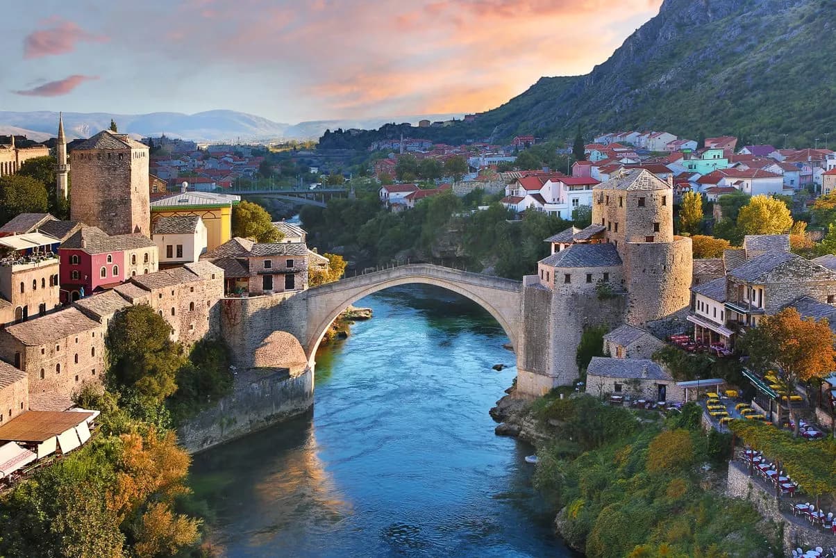
Quick links
Don't want to read all this?
We've planned 2,000+ hiking trips. Send your dates, fitness and group size — we'll map the route and book every night.



One of Europe's last remaining primeval forests, Perućica, lies tucked beneath the country's highest peak. That single fact tells you what most visitors miss: behind the headlines about its recent history, Bosnia holds some of the most intact wild mountain country left on the continent: a knot of limestone peaks, glacial lakes, and shepherd villages that see a fraction of the hikers who crowd the Alps a few hours' drive north.
This is a place where you can summit a 2,000-metre peak and pass more sheep than people, where a mountain hut dinner costs less than a coffee in Cortina, and where a family will wave you in for homemade rakija before you've finished saying hello.
It isn't the easiest country to hike — the trails are wilder, the signage patchier, and there's one serious safety rule you can't ignore (more on that below). But get the planning right and Bosnia rewards you with some of the last genuinely wild walking left in Europe. Here's everything you need to know before you go.
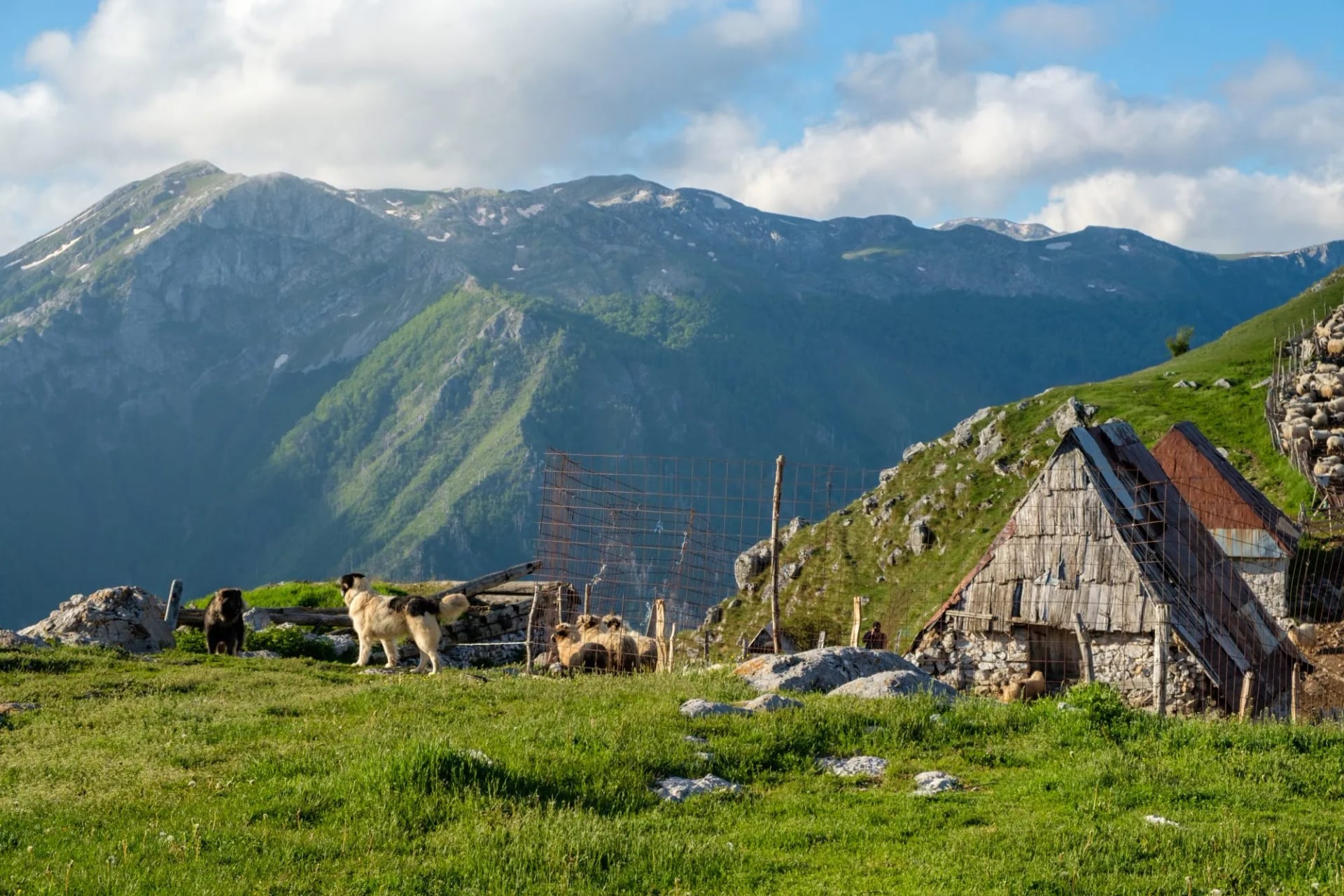
Hiking in Bosnia at a Glance
Highest peak: Maglić, 2,386 m (on the Montenegro border, inside Sutjeska National Park)
Signature long-distance trail: Via Dinarica White Trail — 334 km / 12 stages through Bosnia
Main mountain ranges: Sutjeska/Maglić, Zelengora, Prenj, Čvrsnica, Bjelašnica, Volujak
Best season: mid-June to early October for the high routes
Base cities: Sarajevo (main hub) and Mostar
Currency: convertible mark (KM/BAM), pegged to the euro (~1.96 KM = €1); very affordable
Style: wilder and less waymarked than the Alps — bring navigation and stay on marked paths
Why Hike in Bosnia and Herzegovina?
If you've already walked the Dolomites or the Julian Alps, Bosnia feels like stepping back a few decades — and that's exactly the appeal.
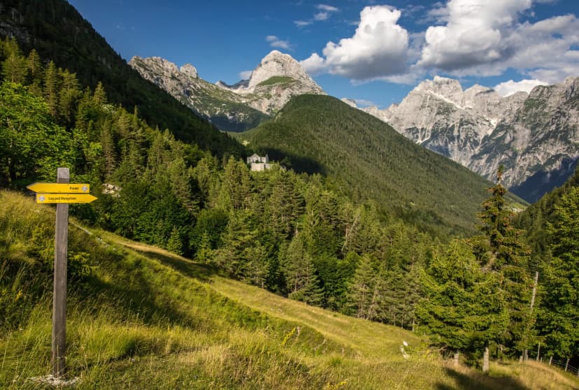
The mountains here are the heart of the Dinaric Alps, the same limestone chain that runs down the Adriatic, but with barely any of the crowds or infrastructure you'd find further west. Trails are quiet to the point of solitude. You'll often have a summit to yourself, and the "traffic" on a busy day is a shepherd moving his flock.
It's also remarkably good value. Bosnia is one of the cheapest countries to hike in Europe — mountain huts, guesthouse meals, and transport all cost a fraction of the Alpine equivalent, which makes a week in the hills genuinely affordable.
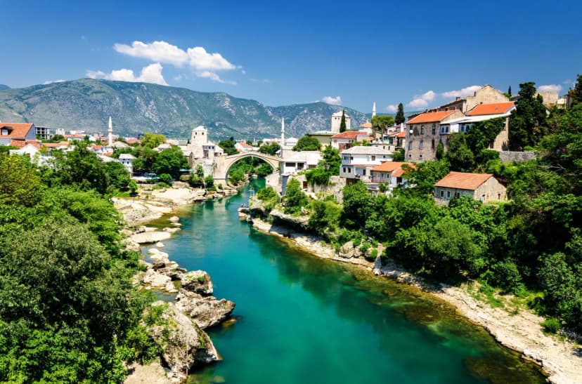
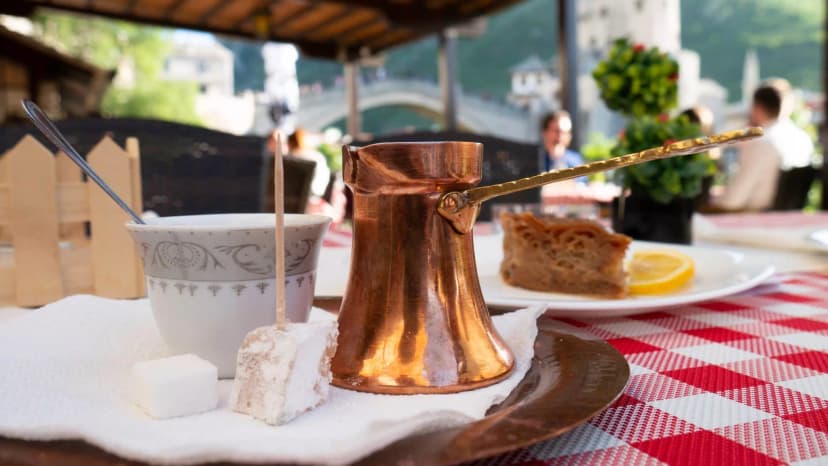
And then there's the culture woven through the landscape. Centuries of overlapping Ottoman, Austro-Hungarian, and Yugoslav history have left a country where you hike between minarets and church towers, drink coffee poured from a copper džezva, and sleep in villages where semi-nomadic highlanders still summer their sheep the way they have for generations. The walking and the culture are inseparable here, and that's what makes it special.
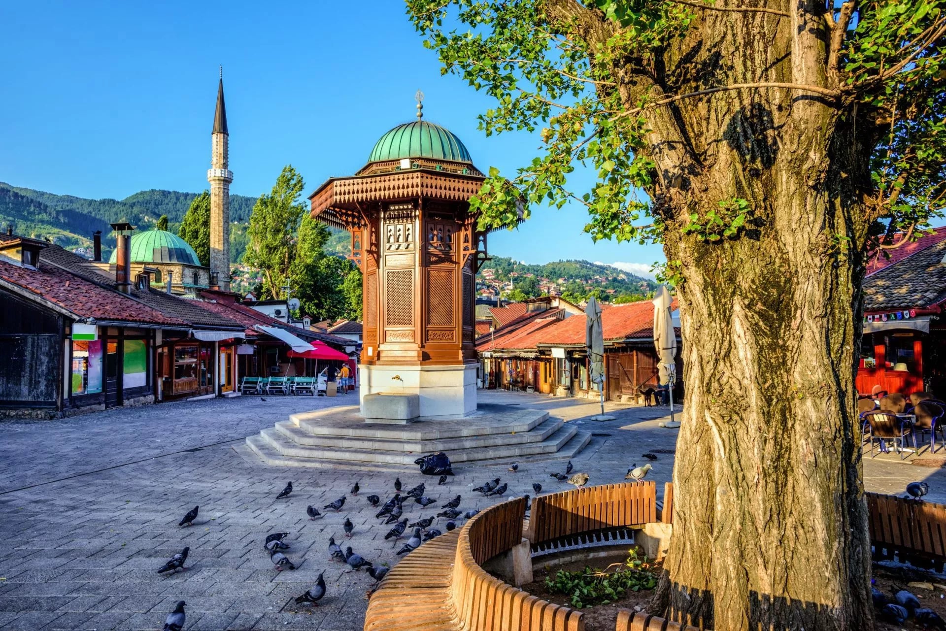
The Best Hikes in Bosnia and Herzegovina
Bosnia's hiking is concentrated in a handful of dramatic massifs, most within a few hours of Sarajevo. Here are the ranges worth building a trip around.
Sutjeska National Park & Maglić
Peak: Maglić, 2,386 m · Time: 6–8 hrs depending on route · Difficulty: hard; via ferrata from Prijevor, non-technical on the forest route · Base: Tjentište
Bosnia's oldest national park (established 1962) is also its finest hiking terrain. It holds Maglić at 2,386 m, the country's highest peak, with the heart shaped Trnovačko Lake below it. Three routes reach the summit and they are not equally exposed.
The short climb from Prijevor is the popular one and the scenic one, and it is secured with via ferrata cable, so it calls for a helmet, harness and ferrata set. A second Bosnian route is longer, climbs mostly through forest, and has no exposure at all. A third and longer option starts on the Montenegrin side. Choose by your head for heights rather than by distance.
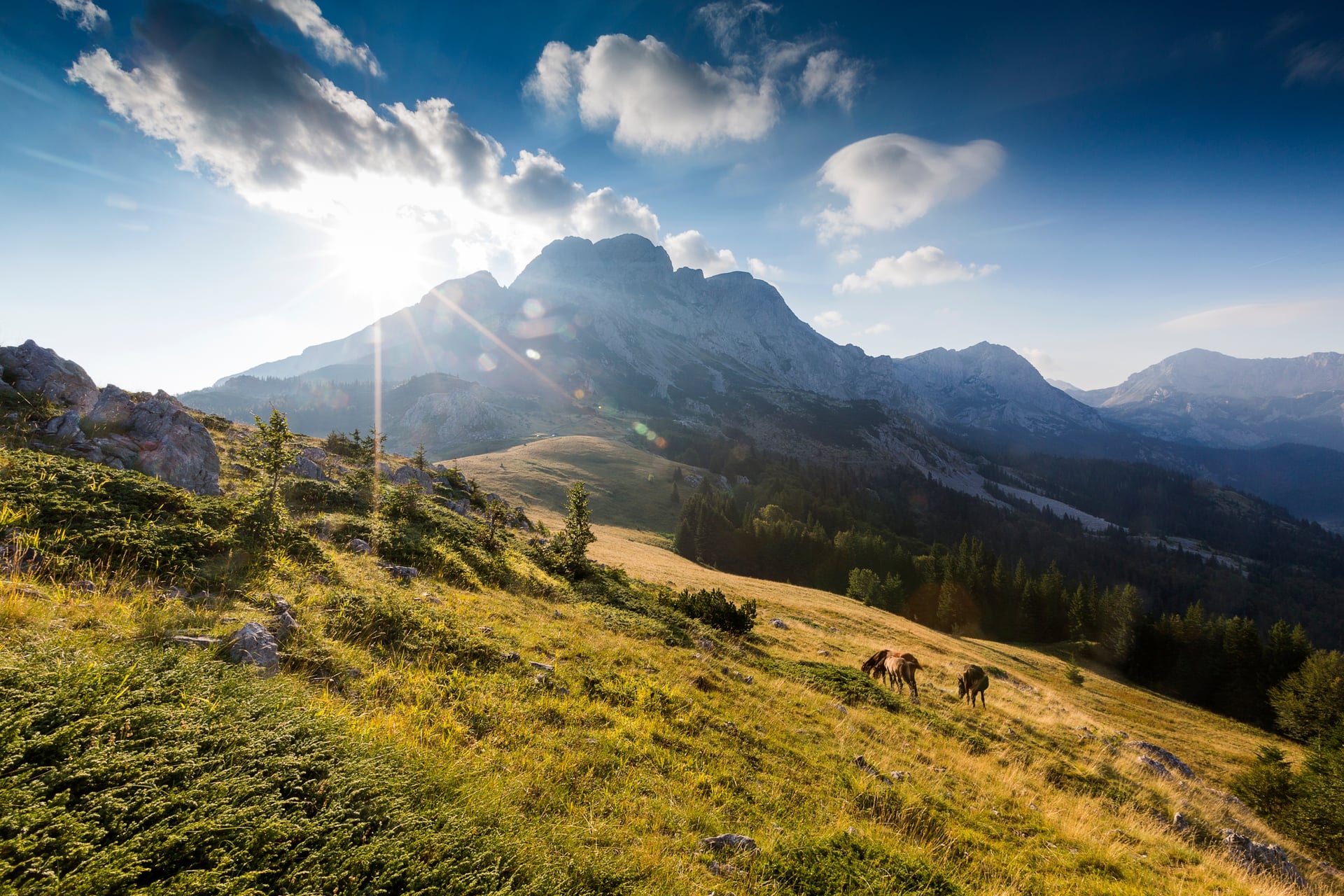
Zelengora
Highlight: glacial lakes & multiple summits · Time: full day · Difficulty: moderate · Base: Tjentište
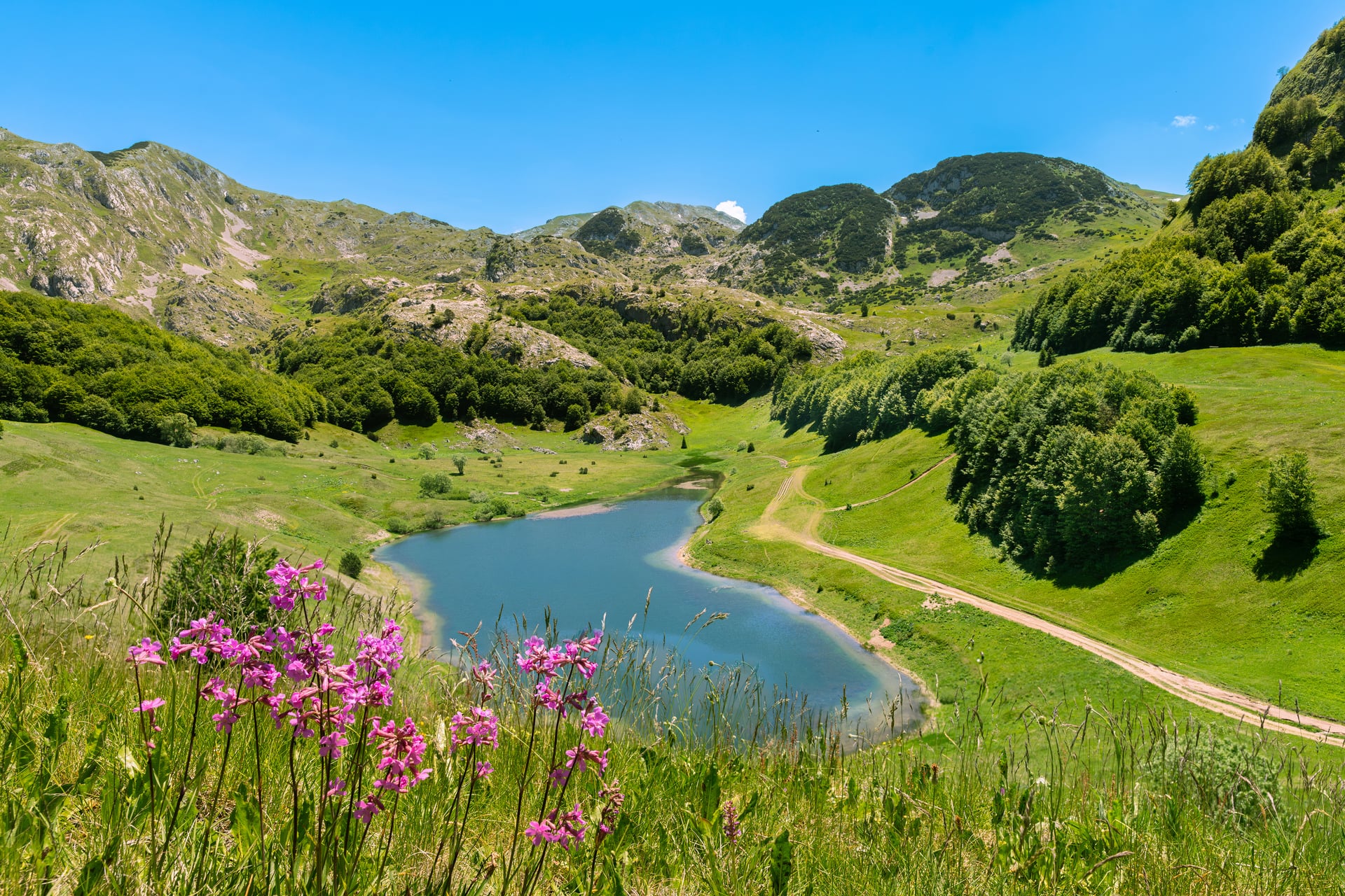
A gentler counterpoint to Maglić, also within the Sutjeska area, Zelengora is famous for its glacial lakes — the "gorske oči," or mountain eyes — scattered across rolling high pasture. Multi-summit day routes here link several lakes and peaks through pristine, empty country, making it a favourite for hikers who want big scenery without technical ground.
Prenj — the "Bosnian Alps"
Peak: Zelena Glava, 2,155 m · Ascent: ~1,100 m · Time: long day · Difficulty: hard · Base: Mostar / Rujište
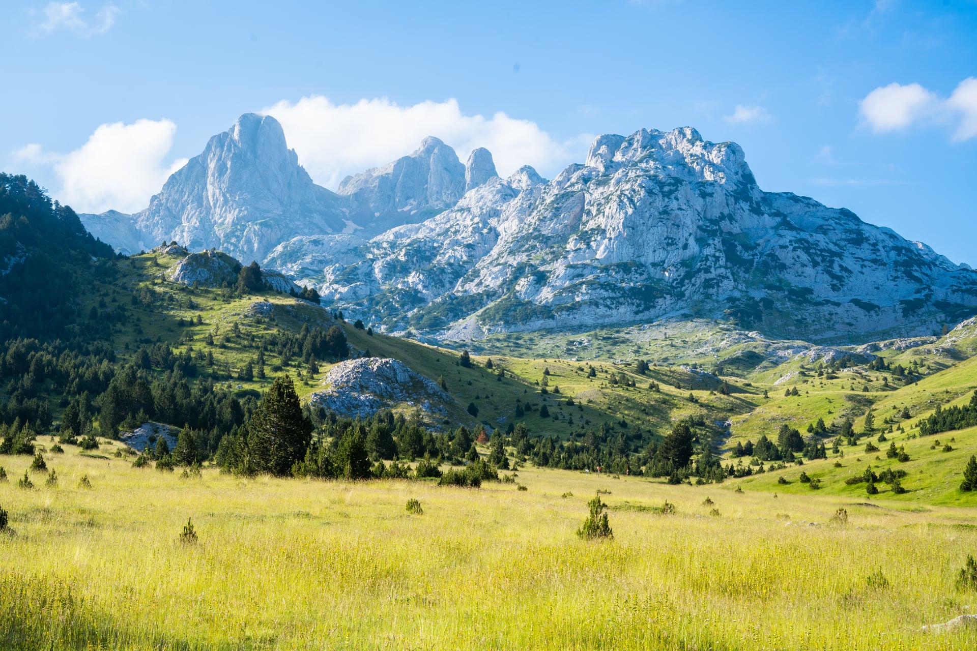
Rising sharply above Mostar to 2,155 m, Prenj is the most alpine-feeling range in the country: sharp ridges, remote valleys, and a fortress-like profile that earns its nickname. The classic ascent of Zelena Glava starts from Rujište and climbs through pine forest onto open slopes — around 1,100 m of ascent, long but non-technical, and one of Bosnia's most rewarding summit days for fit hikers.
Čvrsnica & Blidinje Nature Park
Peak: Veliki Vilinac, 2,228 m · Ascent: ~1,000 m · Time: 7–8 hrs · Difficulty: hard · Base: Blidinje
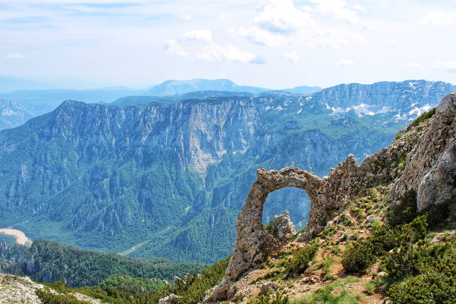
South of Prenj, the Čvrsnica massif towers over Blidinje Nature Park. The standout objective is Veliki Vilinac (2,228 m), a 7–8 hour round trip with roughly 1,000 m of climbing and no technical equipment needed. Don't miss Hajdučka vrata, the natural stone arch framing the surrounding peaks — one of the most photographed spots in the Bosnian mountains.
Bjelašnica & Lukomir
Highlight: highest village (1,495 m) & Rakitnica Canyon · Time: half to full day · Difficulty: easy–moderate · Base: Sarajevo / Umoljani
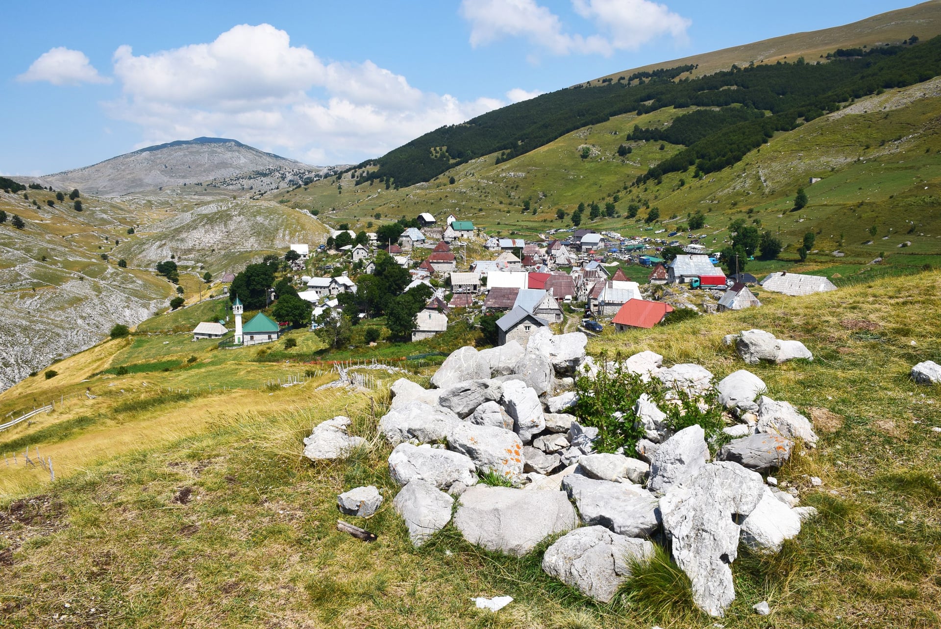
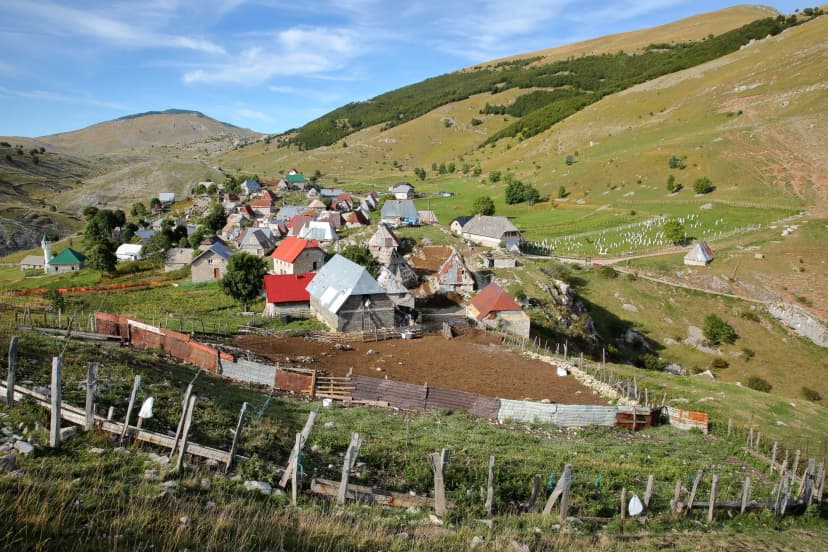
The 1984 Winter Olympics mountain, Bjelašnica (2,067 m), is the gateway to Bosnia's most famous walk: the route to Lukomir, the country's highest and most remote village at 1,495 m. Reachable on foot from Umoljani in 2–3 hours, Lukomir sits on the rim of the 26 km Rakitnica Canyon — among Bosnia's deepest canyons, and its longest — and feels like a living museum of highland life. It's the perfect one-day taste of Bosnia for those short on time.
Key Places to Know
When to Go
The high mountains keep a short season, and it's worth respecting.
The reliable window for the summits runs mid-June to early October. July and August bring the most stable weather and the warmest days, though afternoon thunderstorms build over the high ridges — start early. June and September are the sweet spot for many hikers: wildflowers and long days in June, crisp air and golden forest in September, and thinner crowds at both ends.
Snow lingers on the highest routes (Maglić, Prenj, Čvrsnica) well into June and can return by mid-October, closing the passes. Outside the summer window, stick to lower trails and expect many mountain huts and the highland villages, including Lukomir, to be shut for winter.
Accommodation & Food
One of the joys of hiking here is that you rarely need a tent. The ranges are dotted with mountain huts (planinarski dom) and shelters, roughly a day's walk apart on the main routes, and where huts run out, rural family households take in hikers. Both are simple, warm, and cheap, and both usually include hearty home cooking.
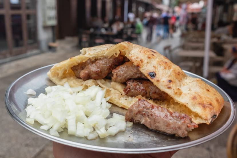
That food is a highlight in its own right. Expect grilled ćevapi, flaky pita (burek and its cousins), slow-cooked Bosanski lonac (Bosnian pot), fresh mountain cheeses, and honey — and, everywhere, the ritual of Bosnian coffee served from a copper pot. Budget a few euros for a filling meal; this is not a place where eating well costs much.
How Difficult Is Hiking in Bosnia?
Bosnia's trails are manageable for anyone with solid hiking fitness, but they demand more self-reliance than the well-oiled Alpine networks.
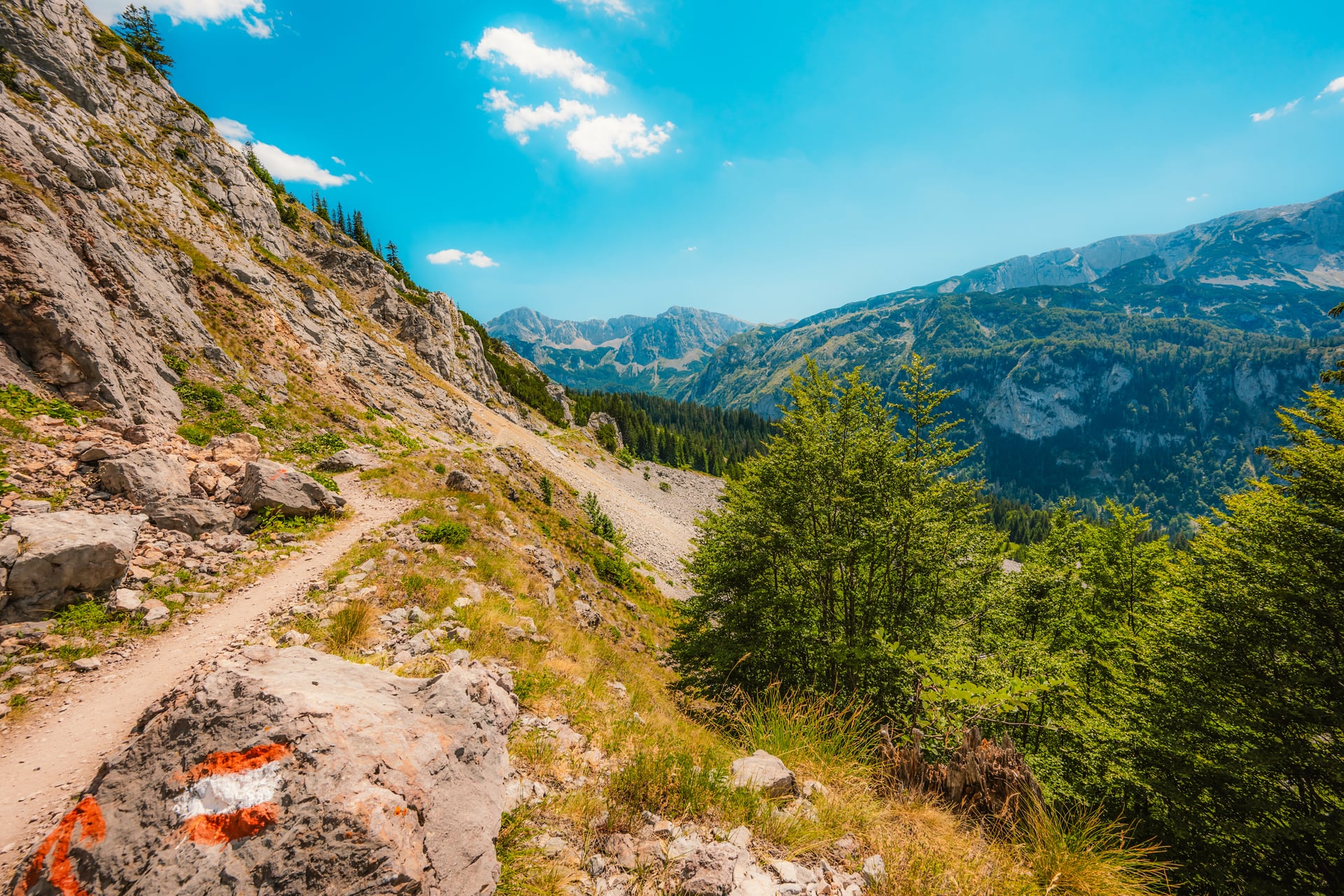
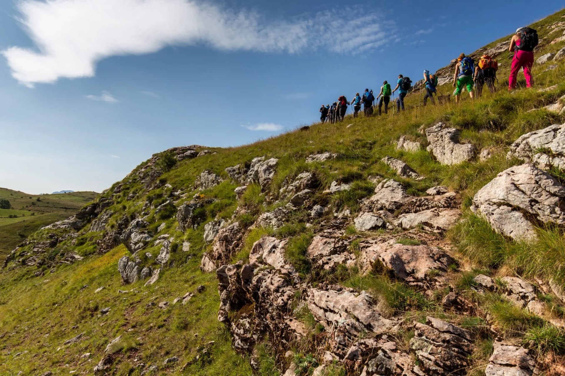
The terrain is genuinely mountainous: the classic summit days on Prenj, Čvrsnica, and Maglić involve 1,000–1,100 m of ascent over rocky, sometimes steep ground, typically 6–8 hours of walking. Most of the classic summit days need no technical kit, though the popular Prijevor line up Maglić is a secured via ferrata and needs a set. They are long days either way, and they reward good conditioning.
The bigger difference is infrastructure. Waymarking — Bosnia uses the red-and-white Balkan blazes and Via Dinarica markers — is inconsistent, and it fades on high pasture and in forest. Mountain rescue is limited and slow compared to the Alps. In practice this means you need to be comfortable navigating with a GPS track and a map, and you shouldn't tackle remote routes solo unless you're experienced.
Safety on the Trail
Bosnia is a warm, low-crime, welcoming country — but it carries one hazard that no other European hiking destination does at this scale, and it deserves attention.
Bosnia remains the most mine-affected country in Europe. Landmines and unexploded ordnance from the 1990s war still lie in some rural areas, forests, and mountainsides — an estimated tens of thousands of devices across the country. Stay strictly on marked, established trails, and never wander onto uncleared ground, into abandoned buildings, or use shortcuts across open hillside. Popular hiking trails and tourist areas are cleared, mine-affected zones are clearly and visibly marked. But this is the one place where "let's just cut across here" is never worth it — if a path isn't clearly a path, don't take it, and if in doubt, ask locally.
Beyond mines, the usual wild-mountain rules apply with extra weight because rescue is limited: check the forecast, carry warm and waterproof layers even in summer, take a GPS track and a power bank, refill water at springs where you can, and leave your route plan with someone. Livestock-guarding dogs also patrol the pastures — don't run; stand calm and wait for the shepherd.
Getting There & Around
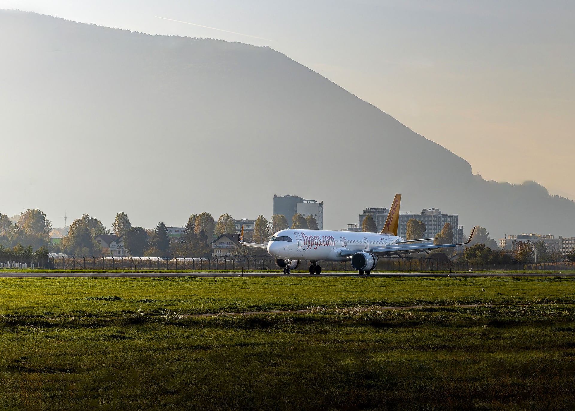
Most hikers fly into Sarajevo International Airport (SJJ), which sits close to the city and within a couple of hours' drive of Bjelašnica, Sutjeska, and the main ranges. Depending on flight prices, it's also worth checking nearby Dubrovnik and Split (Croatia) or Podgorica (Montenegro), all within reach by road.
Once you're in, be honest with yourself about transport. Public buses connect the main towns cheaply, but they're infrequent and unreliable near the trailheads, and the final leg into the mountains often has no service at all. Most independent hikers either rent a car or arrange local transfers through their guesthouse. For remote ranges like Sutjeska, a private transfer or a pre-arranged pickup saves a lot of stress.
What to Pack
Pack as you would for any serious mountain trip, plus a few Bosnia-specific essentials:
Offline maps and a GPS track, plus a power bank — waymarking is inconsistent and signal is patchy.
Plenty of cash in convertible marks (KM). Cards are rarely accepted in huts, villages, and rural transport; bring small notes.
Sturdy, broken-in boots for rocky, sometimes trackless terrain, and trekking poles for the long descents.
Warm and waterproof layers even in July — high ridges are cold and storms build fast.
A water filter or purification plus capacity to carry between springs on long stages.
Ready to Explore Bosnia?
Bosnia rewards hikers who plan ahead and stay humble in the mountains. Do that, and you'll find a country that's still genuinely wild, remarkably affordable, and among the most hospitable in Europe.
If you'd rather experience Bosnia's peaks and villages without wrestling with the logistics, a self-guided tour is the easy way in. When you book with us you get:
Pre-arranged accommodation in mountain huts and village households along a sensible route
A digital guidebook with GPS tracks and route notes, so you always know you're on a safe, marked path
Transfers and logistics handled, from the airport to the trailhead
On-call support throughout your trip
You keep the freedom to walk at your own pace, and we take care of the parts that make Bosnia tricky to arrange alone.
For more on how our trips work, see Self-Guided Tours Explained and our hiking difficulty guide. Planning a wider Balkan trip? Pair Bosnia with neighbouring Montenegro, Croatia, or Albania, or browse more off-the-beaten-path hikes.
Frequently Asked Questions

About this author
Suzana is our travel advisor and a hiker who believes the best trails aren't just about the summits. She loves spotting alpine plants, watching wildlife, and the laughs, chats, and snack breaks that make every trail worth walking.















.jpg&w=828&q=75)



















































.jpg&w=828&q=75)























