Hiking in Portugal: 6 Must-Visit Places
Portugal has coast, mountain, wine and island hiking packed into one small country. Here's how to pick the part that fits your season, pace, and appetite.

Jon
Published September 14, 2026
Edited September 14, 2026
12 min read
Don't want to read all this?
We've planned 2,000+ hiking trips. Send your dates, fitness and group size — we'll map the route and book every night.



Portugal is a country whose walking landscapes could easily belong to six different ones. Sea cliffs above the Atlantic, wet forest in a granite national park pressed against the Spanish border, terraced vineyards above the Douro river, and a green-cratered volcano out in the mid-Atlantic distinguish four of the country's six walking regions.
Which region is right for you depends on the season, on how strenuous a week you're up for, and on which of those landscapes you'd choose first — coast, mountain, wine country, or islands. The guide below covers all six in the order most travelers will find useful, with the practical detail you'll want when narrowing them down.
6 Hiking Areas: Best Places to Hike in Portugal
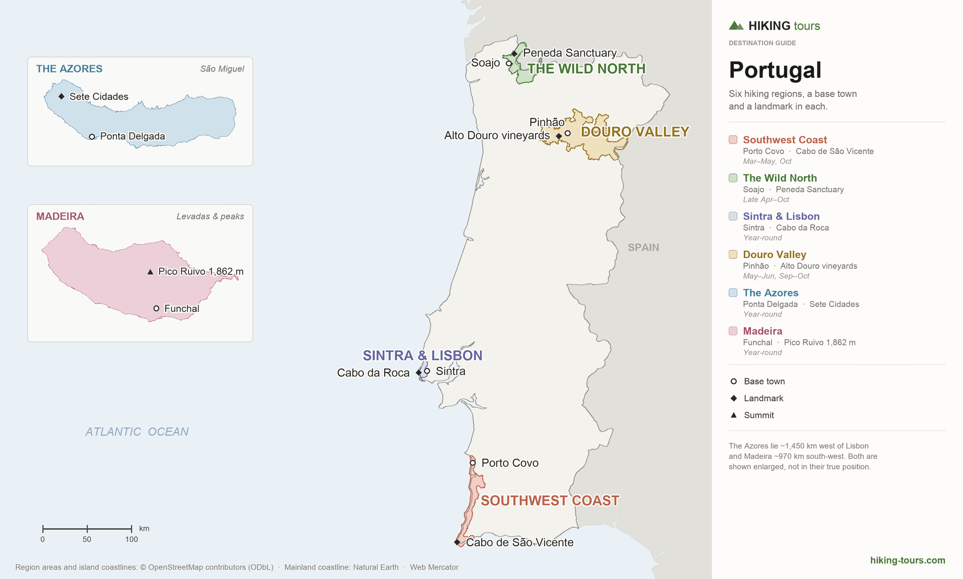
When looking at a standard map of Portugal, navigating its geography can feel a bit overwhelming. Administratively, the mainland is carved into 18 traditional districts, while the Atlantic island chains of the Azores and Madeira form two autonomous regions. On top of that, you will often see the country divided into seven statistical, cultural and tourism regions.
However, looking at the map through the lens of terrain, climate, and landscape for hiking, 2 regions (Azores and Madeira) and 4 other mainland areas stand out as the most interesting and favorable.
The map
The regions
1. The Southwest Coast
Terrain: coastal cliffs and sandy paths · Best time: March–May, October · Difficulty: moderate · Best for: long-distance coastal treks, ocean scenery
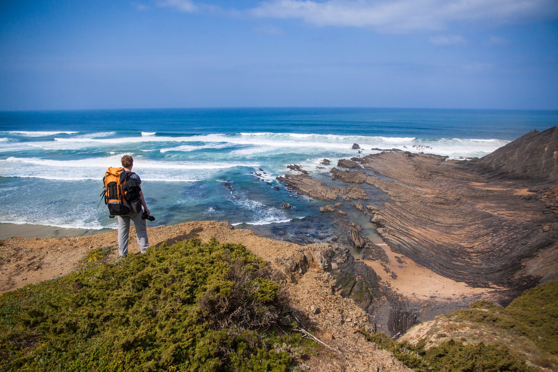
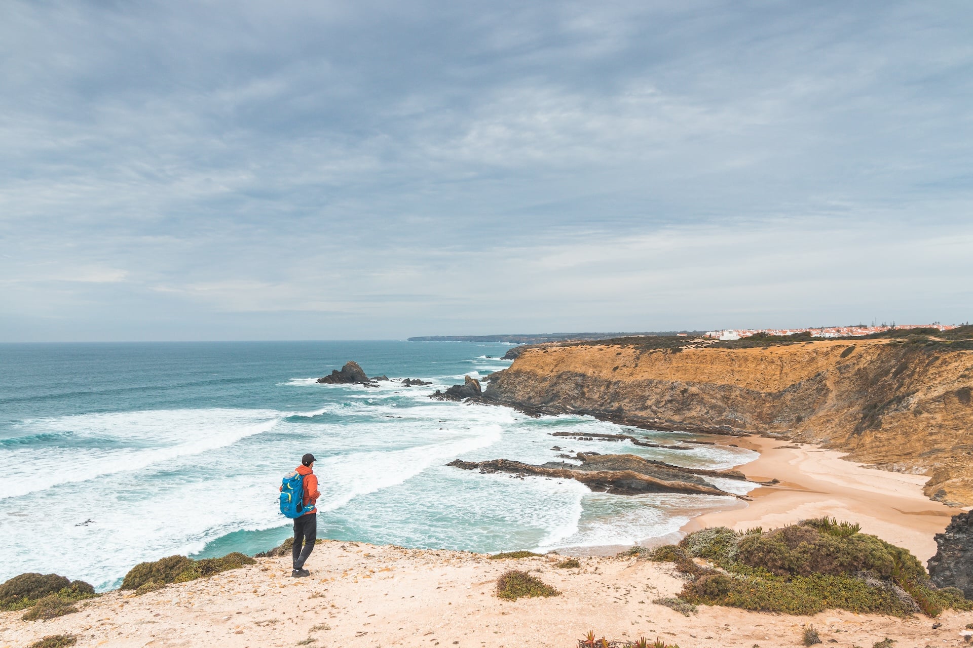
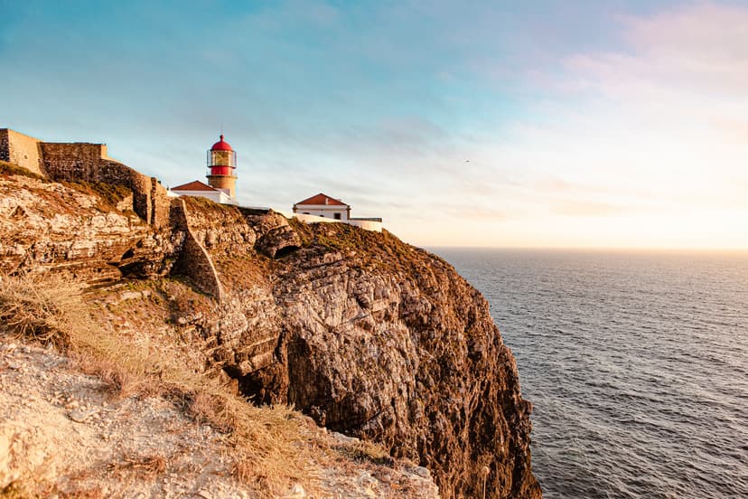
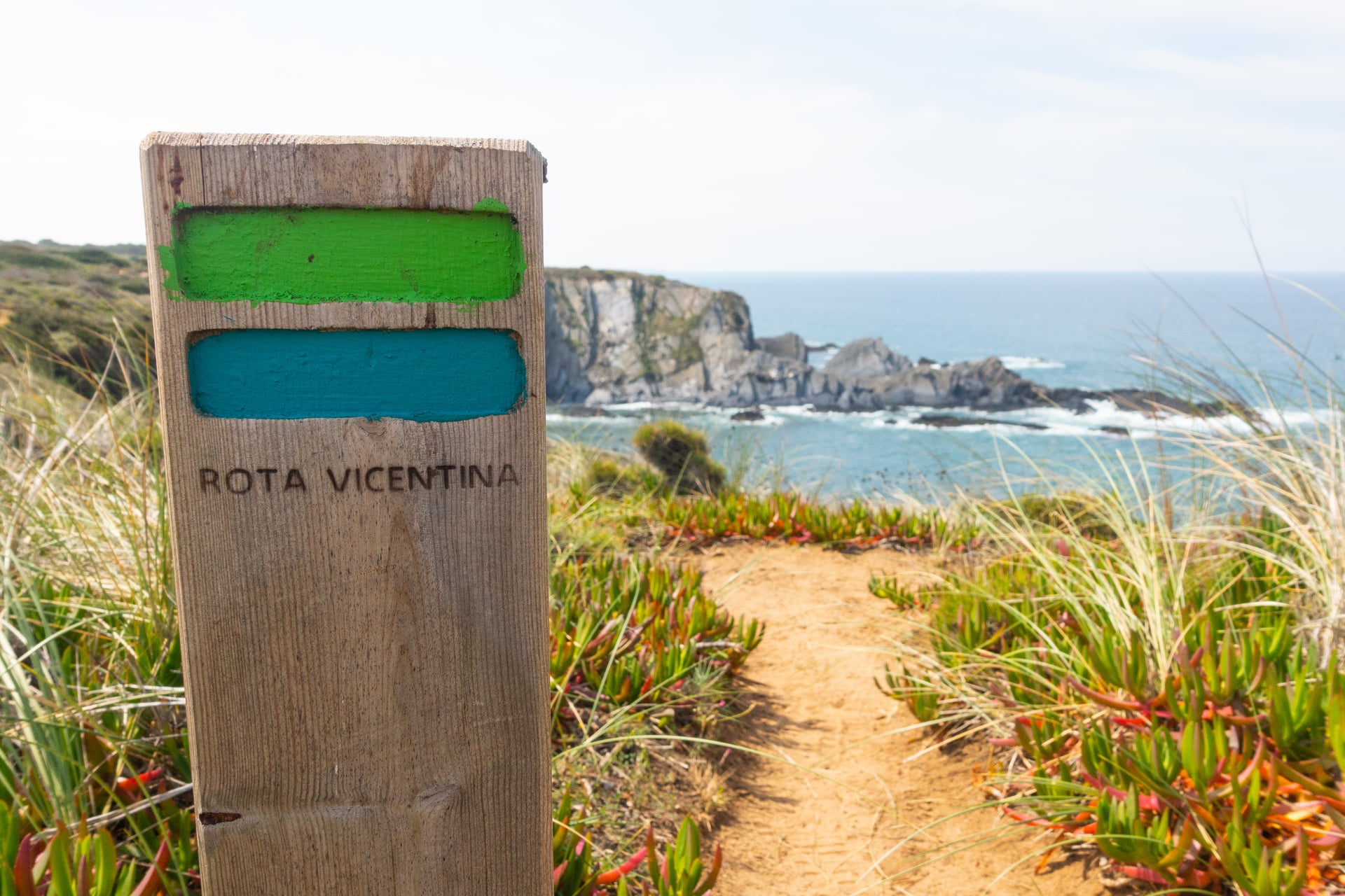
The stretch of coast from Porto Covo down to the westernmost point of the Algarve is Portugal's most famous walking, and for good reason: the Fishermen's Trail runs 226 km along the cliff edge, and the parallel Historical Way (Rota Vicentina Historic Trail) runs a similar distance through the interior of the same protected park. Both are inn-to-inn, both are well-waymarked in green-and-blue, and both stitch small fishing and farming villages into one continuous route.
The Fishermen's Trail is a coastal path, and long sections cross soft sand along the cliff-top or the beach itself. Walking on sand takes roughly twice the effort of a compact trail — a 15 km stage on this route feels closer to a 22 km stage in the Dolomites. Wide-basket trekking poles help, and long trousers with sock cuffs keep the sand out of your boots. The best months to walk the trail are spring and October. Between June and September, the combination of coastal heat and sand becomes uncomfortable and, on the hottest days, can be unsafe.
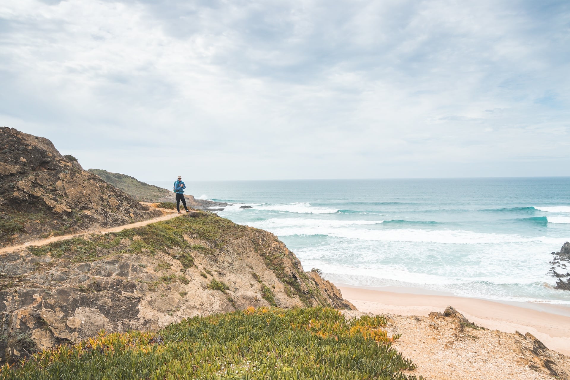
The Historical Way is the answer if you love the region but want less sand and more shade. It stays inland through cork oaks and holm oaks, connects the same villages as the Fishermen's Trail, and you can hop between the two networks where they cross. It's a slightly harder trail for fitness (more gradient) and a much easier trail for feet.
If you'd like the highlights in six days rather than the full fortnight, our shorter tour covers the finest cliff sections between Porto Covo and Odeceixe and stops before the warmer Algarve stages. It concentrates on the northern half of the trail, where the cliffs are most dramatic and the sand-to-firm-ground ratio is friendliest.
For walkers who want to complete the route end-to-end, our full Fishermen's Trail itinerary follows the length of the Alentejo and Algarve coast. It stays on the cliffs the whole way and finishes at Cabo de São Vicente, the south-western tip of continental Europe.
The Historical Way follows shaded inland paths between the same villages, so you keep the region while swapping the sand for cork forest. It's a good option for anyone whose knees prefer firmer ground.
2. The Wild North
Terrain: granite peaks and forest trails · Best time: late April–October · Difficulty: moderate to hard · Best for: strong hikers, nature lovers, mountain scenery
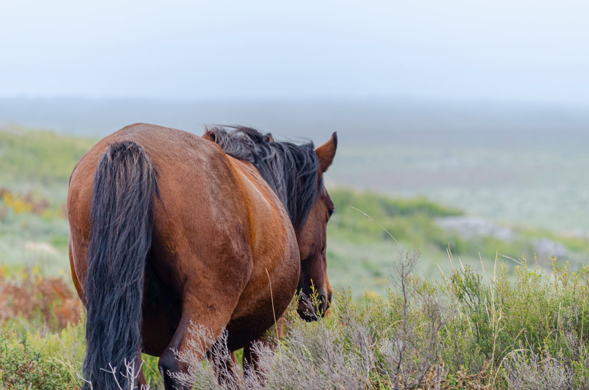
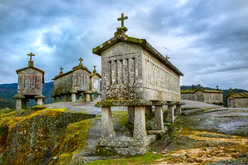
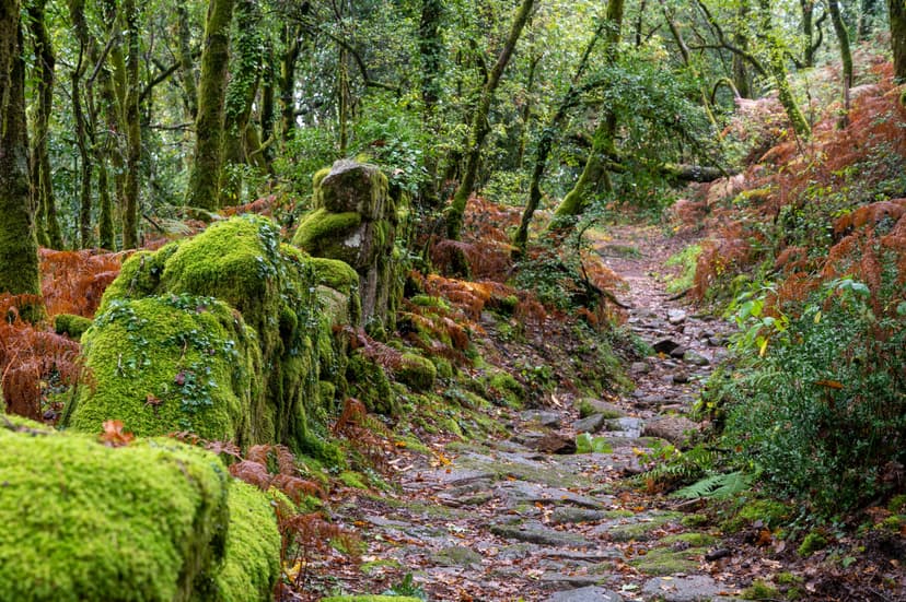
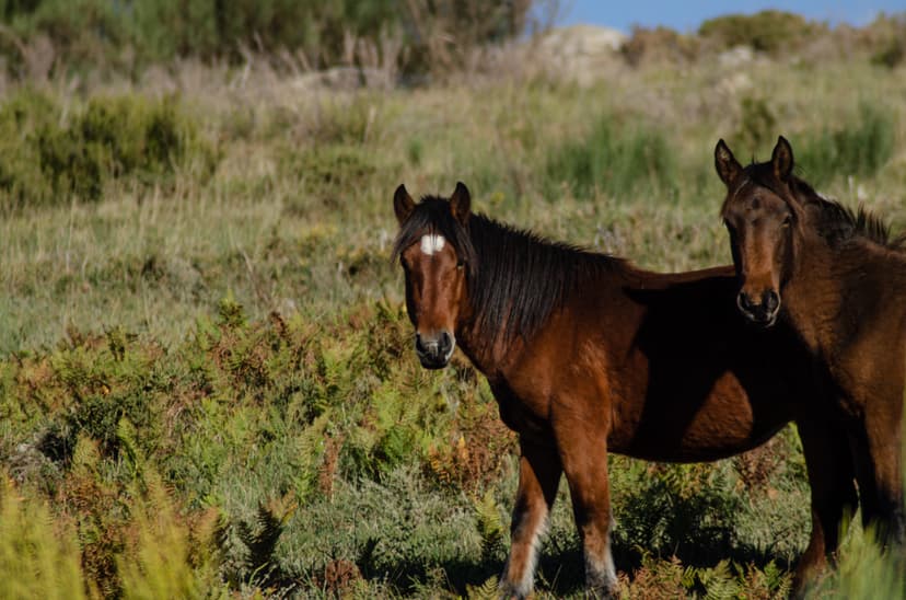
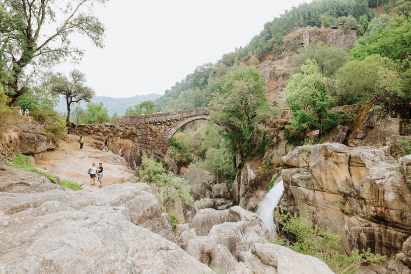
Portugal's only national park sits in the far north, pressed against the Spanish border, and the walking here has nothing in common with the coast. Peneda-Gerês is around 700 km² of granite peaks, oak and pine forest, waterfalls, and long-abandoned Roman roads. The signature sight is the Garrano — small semi-wild horses grazing the high pastures — and the signature feel is that you're in a corner of Europe most walkers never reach.
The northern walking window is late April through late October. Winter is wet and cold; midsummer is warm at valley height but comfortable at trail altitudes. Most stages are 12–20 km on marked paths, but waymarking is patchier than on the Rota Vicentina — a GPS track is worth having.
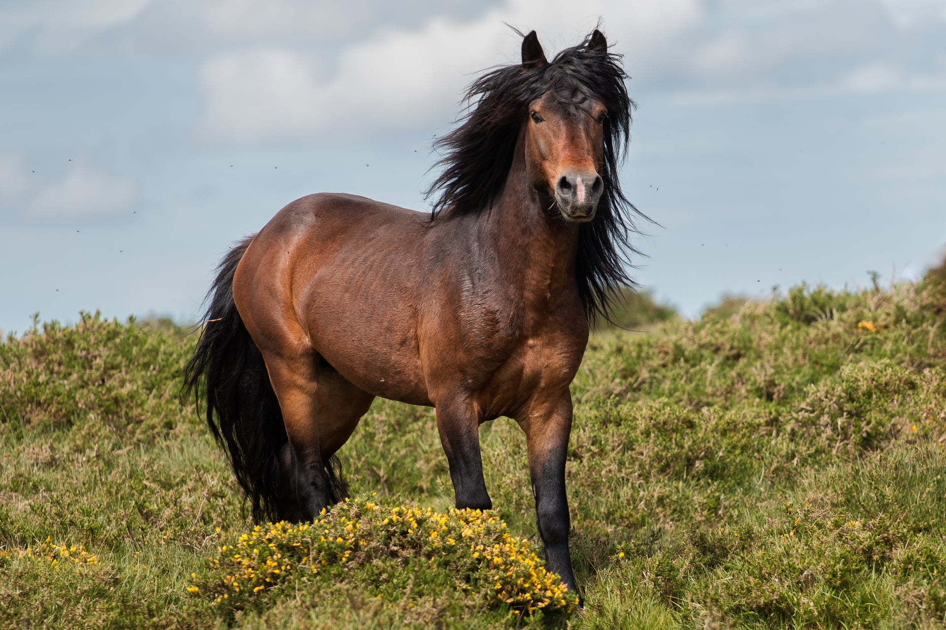
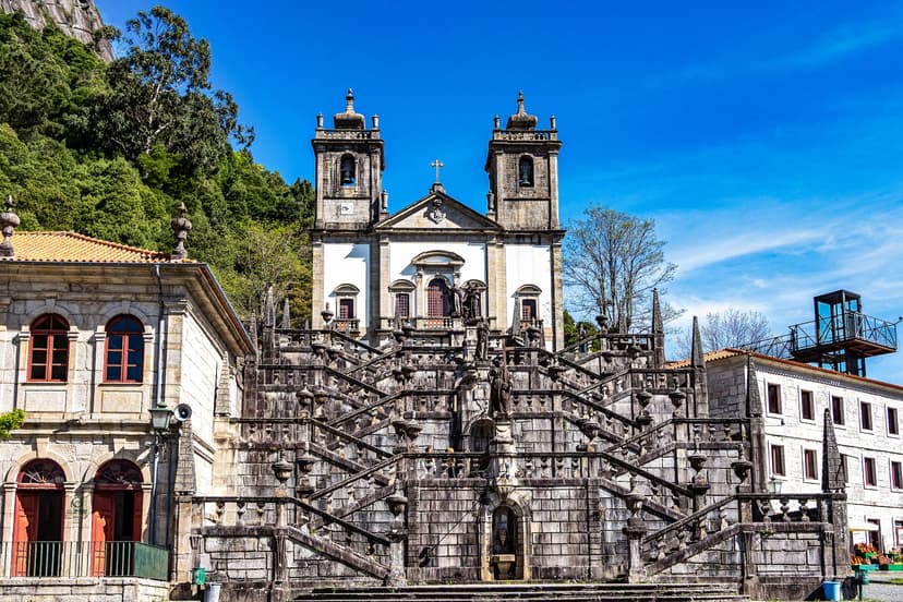
Four places in the park worth planning a walk around:
The 14-day Peneda-Gerês trek is the deep option — a proper thru-hike across the range, guesthouse-based, with the Roman road, the horses, and the Peneda sanctuary all on the itinerary.
If you want the north but on a lighter fitness budget, the Best of Northern Portugal tour covers nine days between the Peneda-Gerês edge and the Portuguese Coastal Camino, ending on the Spanish border. It's the option to pick if you want variety inside one region without the daily-elevation demand of the ultimate trek.
3. Sintra and Lisbon
Terrain: wooded hills, coastal paths and estate gardens · Best time: year-round, outside the winter rains · Difficulty: easy to moderate · Best for: sightseeing, families, short escapes, cultural trips
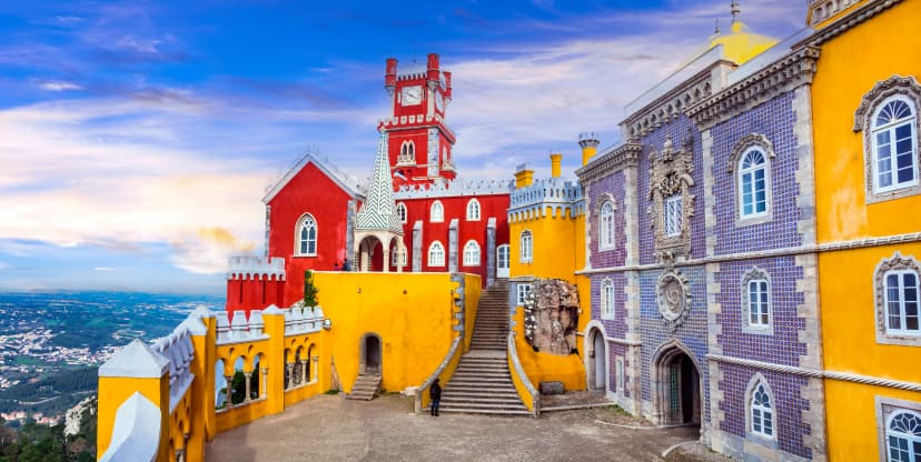
Sintra sits half an hour by train outside Lisbon, and the small mountain range behind the town — the Serra de Sintra — is dense with forest paths that connect Moorish castles, the yellow-and-red Pena Palace on the ridge, and the wilder Cabo da Roca headland to the west. Cabo da Roca is continental Europe's westernmost point, and the microclimate is one of the most walkable on the Atlantic seaboard.
This is the pick if you have a week and don't want to leave Lisbon behind entirely. A base in Sintra or nearby Cascais gives you three or four hiking days out of the Serra, plus the Atlantic clifftops between Cabo da Roca and Praia da Ursa, plus half-days in the palaces themselves. The forest paths are cool and shaded even in July — Sintra's microclimate is famously cooler than Lisbon by 5–10°C on hot days.
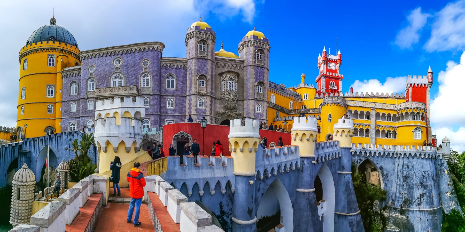
If Sintra is the reason you're in Portugal, the seven-day tour below bases you in the area and walks the Serra ridge, the Cabo da Roca headland, and the palace grounds themselves — a compact week that pairs naturally with a Lisbon start or end.
4. The Douro Valley
Terrain: terraced vineyard slopes · Best time: May–June, September–October · Difficulty: easy · Best for: food and wine lovers, relaxed walkers, seniors
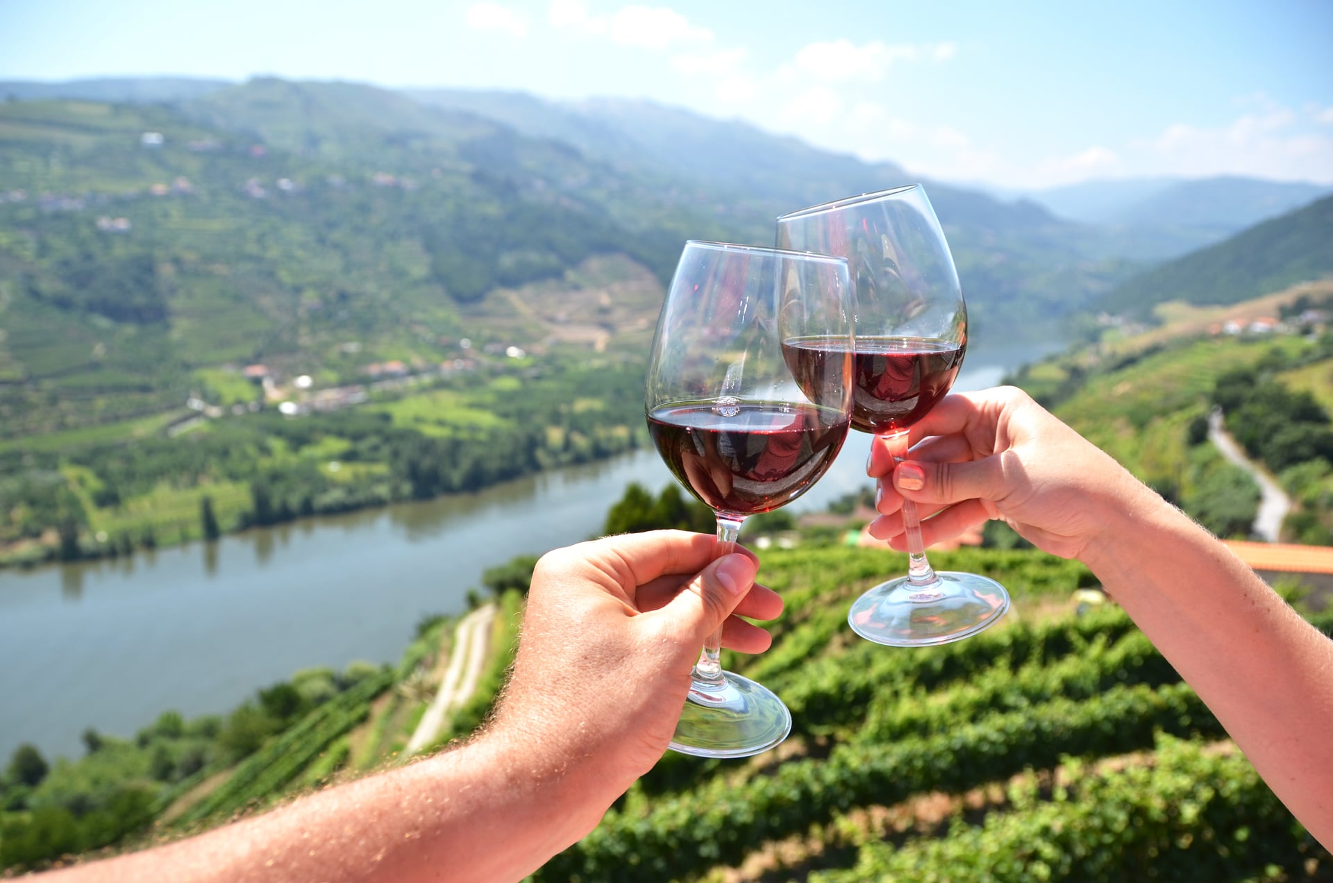
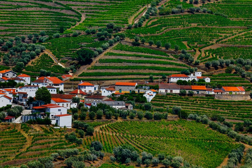
The Douro is a wine trip that happens to involve walking. The valley is a UNESCO cultural landscape — declared in 2001 — of terraced vineyards climbing the schist slopes above the Douro river, and the wine grown here is turned into Port and, increasingly, into serious dry table wines.
The daily distances are short, the pace is intentionally unhurried, and the walks link between quintas (wine estates) with tastings at each. Fitness demand is low. Best months are May, June, September, and early October — July and August are hot in the valley bottom, and some estates close their vineyards to walking during the September harvest window.
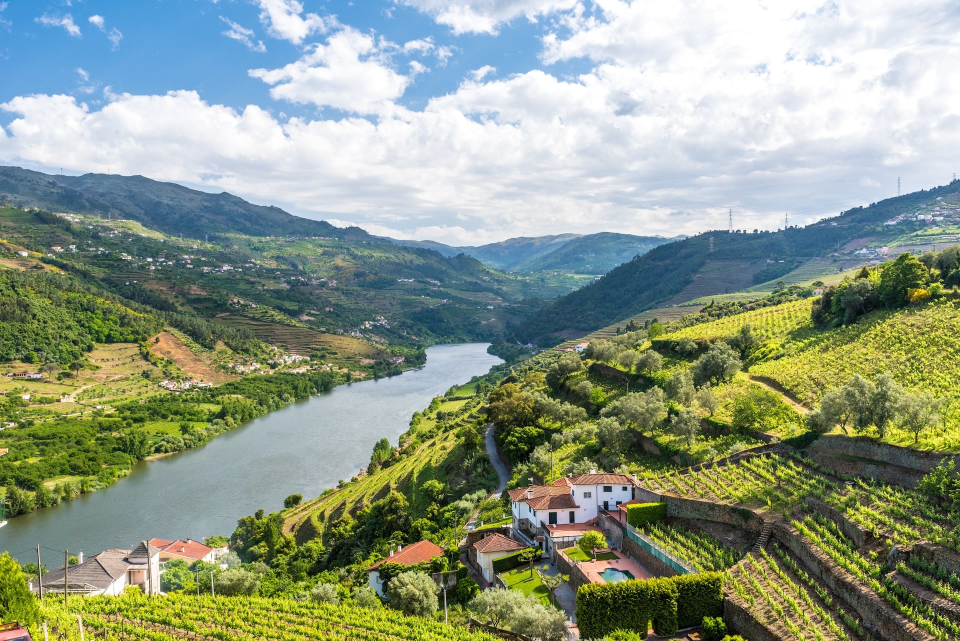
The six-day Walk & Wine tour bases you in the valley and walks between quintas each day, with tastings at three or four working wineries and a final evening in the town of Pinhão.
5. The Azores
Terrain: volcanic craters and lush green trails · Best time: year-round · Difficulty: moderate · Best for: island lovers, volcanic scenery, adventurous travelers
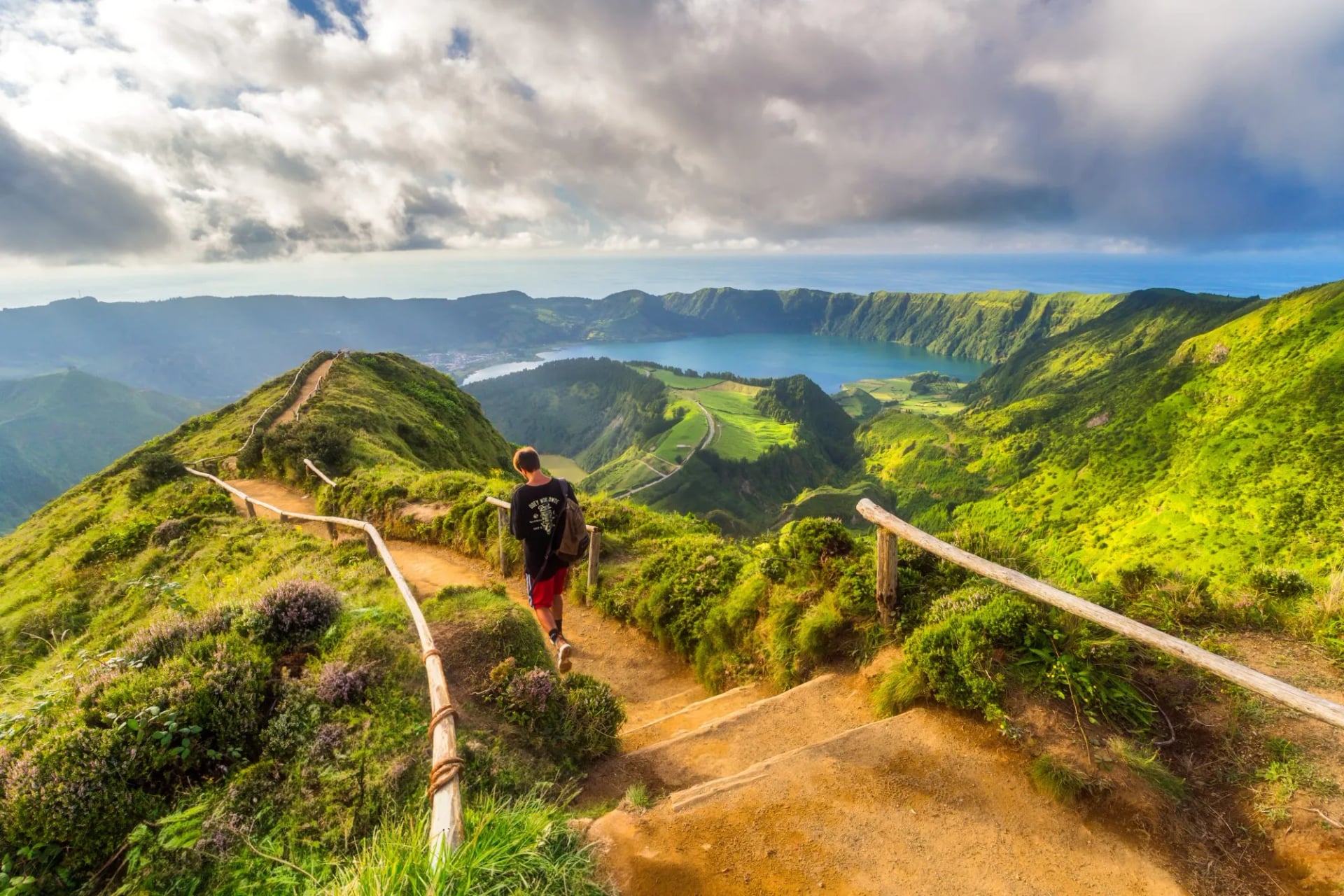
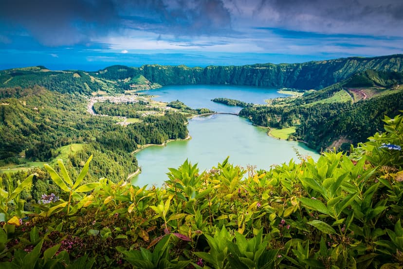
Nine volcanic islands in the mid-Atlantic, closer in feel to a small Pacific archipelago than to Lisbon. First-time visitors nearly always hike São Miguel — a green-cratered island with the twin-lake Sete Cidades caldera, the Furnas hot springs, and marked island trails ranging from 5 to 20 km.
The Azores weather rule is that the weather changes. Rain, cloud, sun, and wind can trade places in a single afternoon, especially at the crater rims where visibility can drop to zero without warning. Check the São Miguel webcams the morning of each hike — the classic Sete Cidades panorama is only worth walking to when the rim cam is clear. Otherwise, drop into the Furnas valley and walk there instead.
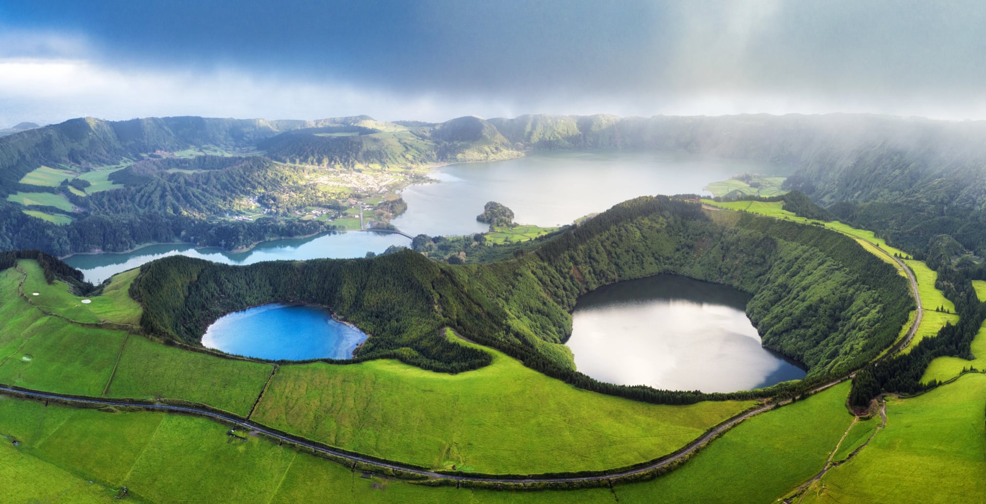
Our seven-day Azores tour is based on São Miguel and covers Sete Cidades, Furnas, the tea plantations of Gorreana, and the volcanic lakes of Fogo. The hikes themselves are moderate at 2/5 fitness — what you'll want to bring is patience with the weather, which can change several times in a single afternoon.
6. Madeira
Terrain: levadas and steep mountain ridges · Best time: year-round · Difficulty: moderate to hard · Best for: subtropical scenery, dramatic heights, levada walking
Madeira, known as the "Pearl of the Atlantic" or the "Island of Eternal Spring", is a subtropical volcanic island where mountains rise steep and green straight out of the ocean. Defined by its mild year-round climate and vibrant flora, it offers a hiking experience, distinct from mainland Portugal.
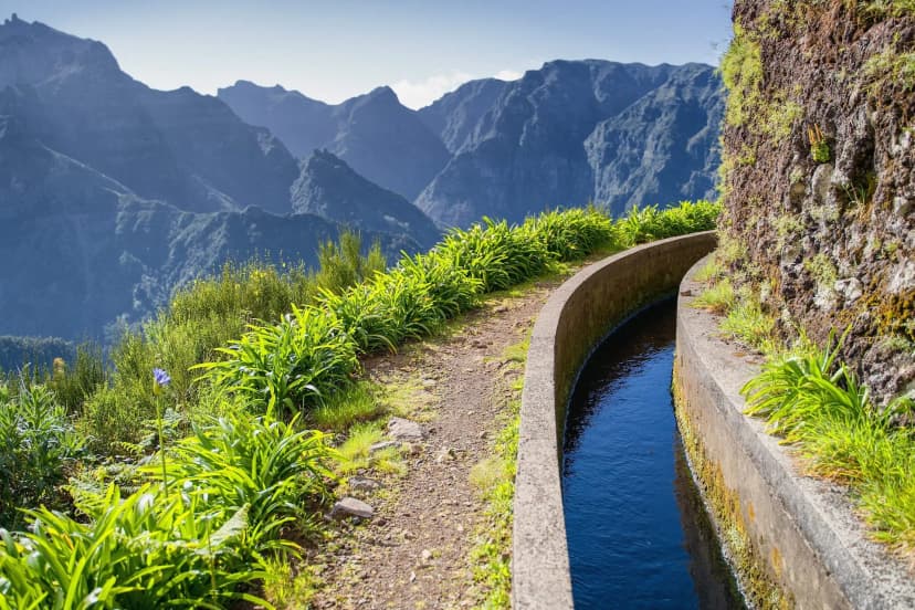
The island's signature feature is its extensive network of levadas — historic irrigation channels cut into the mountainsides that carry water from the wet north to the sunny south. Running alongside nearly every levada is a narrow maintenance path, allowing hikers to follow gentle contours deep into otherwise inaccessible terrain, including the UNESCO-protected Laurisilva (laurel) forest.
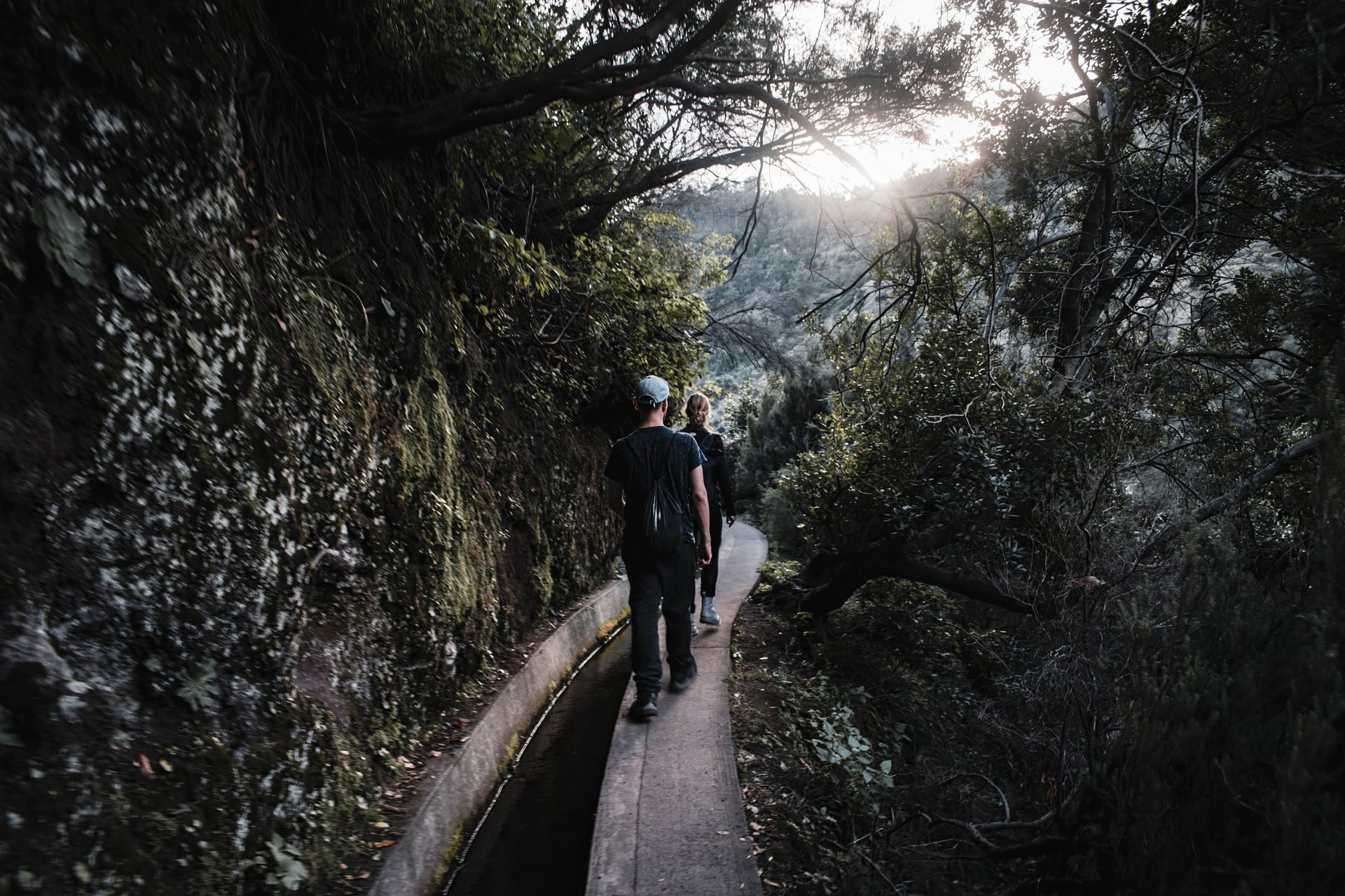
For high-mountain drama, Madeira’s interior features jagged volcanic ridges. The spectacular trail between Pico do Arieiro (1,818 m) and Pico Ruivo (1,862 m) leads above the clouds along carved rock steps and tunnels. Coastal highlights include the sheer sea cliffs of Cabo Girão and the arid, dramatic headland of Ponta de São Lourenço.
Our week-long Madeira itinerary covers the island's finest levada walks, the Pico Ruivo summit trail, and the wild coastal landscapes of Ponta de São Lourenço.
When to Hike in Portugal
Portugal's climate splits sharply by region, and picking the right month matters more here than in most of Europe.
March–May
The best months for the southwest coast — mild, low rain, wildflowers on the coastal cliffs. Peneda-Gerês is still cold at altitude until late April.
June
The coast becomes hot by mid-month. Peneda-Gerês and the Douro are ideal.
July–August
Avoid the southwest coast — the sand-and-sun combination is dangerous, not scenic. Peneda-Gerês valleys are hot but the trails at altitude stay comfortable. The Azores are workable but often cloudy.
September
The best all-round month — coast walkable again, Douro harvest on, Peneda-Gerês still open, and the Azores at their clearest.
October
The southwest coast at its most beautiful. The light softens, the crowds thin, and Peneda-Gerês stays walkable until the mid-month rains arrive.
November–February
Sintra and the Azores stay walkable. Everywhere else is out of season or difficult.
One rule worth knowing before you plan: wild camping is illegal in Portugal's protected natural areas — including Peneda-Gerês, the Rota Vicentina park, Sintra-Cascais, and the Azores volcanic parks. Fines are enforced, and the parks are actively patrolled in high season. All of our Portugal tours are inn-to-inn or guesthouse-based, which is how long-distance walking in Portugal is normally organised.
Because these are broad windows and Portugal's regions rarely share the same week's weather, the official Portuguese weather service — IPMA — is worth bookmarking once you've picked a month. Its companion app covers over 300 locations in Portuguese territory.
Traveling With Ease
Our Portugal collection covers all six regions above, and every tour is self-guided — you follow the route at your own pace, while we take care of the planning and logistics behind it:
Accommodation booked in the villages and towns where each stage ends.
Luggage transfers between stages, so you walk with just a daypack.
A digital guidebook with maps, GPS files, day-by-day route notes, and emergency contacts.
Support throughout your trip, in case anything comes up along the way.
When you're narrowing down, we recommend starting with the season, then the region, and finally the specific tour. Here are some collections that can help:
The Portugal destinations page lists every walking tour we currently offer in Portugal.
Our Best for Beginners selection is a good place to start if this is your first inn-to-inn walking trip.
The Coastal Hikes category groups our seaside walking tours across Europe.
Our Hiking Difficulty Guide explains how we rate the technical and fitness levels of each tour.
Frequently Asked Questions

About this author
Jon is our travel advisor and an outdoor adventurer who is happiest on the move. While mountain biking is his personal passion, he thrives on crafting hiking adventures for others — planning routes and adding the little touches that turn a trip into a core memory.














.jpg&w=828&q=75)














































.jpg&w=828&q=75)