Hiking Near Innsbruck: Multi-Day Treks & Hut-to-Hut Trails
Hiking near Innsbruck, the Capital of the Alps, means the Adlerweg and Stubai High Trail start an hour from the platform. Pick the right one!

Jon
Published August 10, 2026
Edited September 29, 2026
13 min read
Quick links
Don't want to read all this?
We've planned 2,000+ hiking trips. Send your dates, fitness and group size — we'll map the route and book every night.



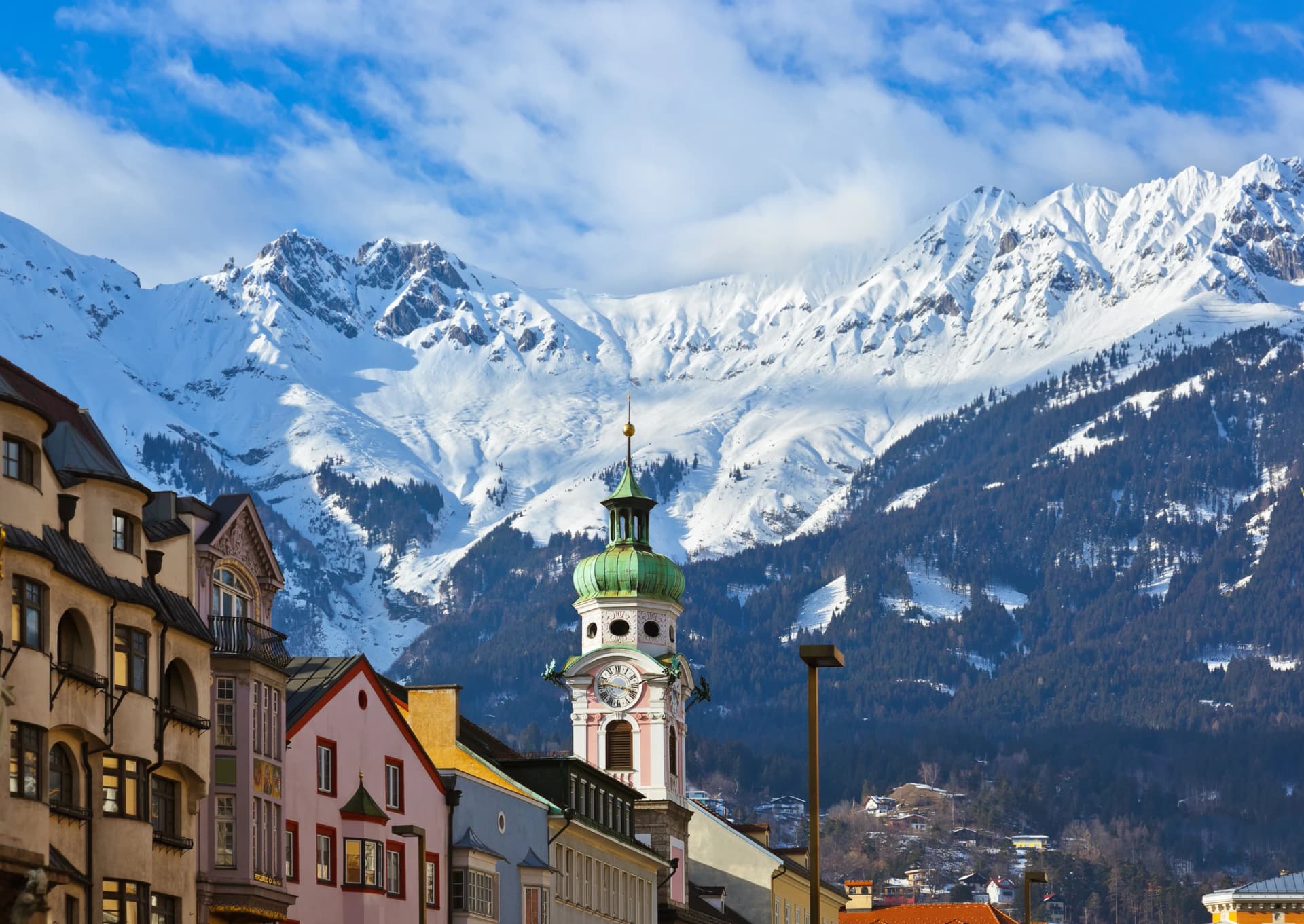
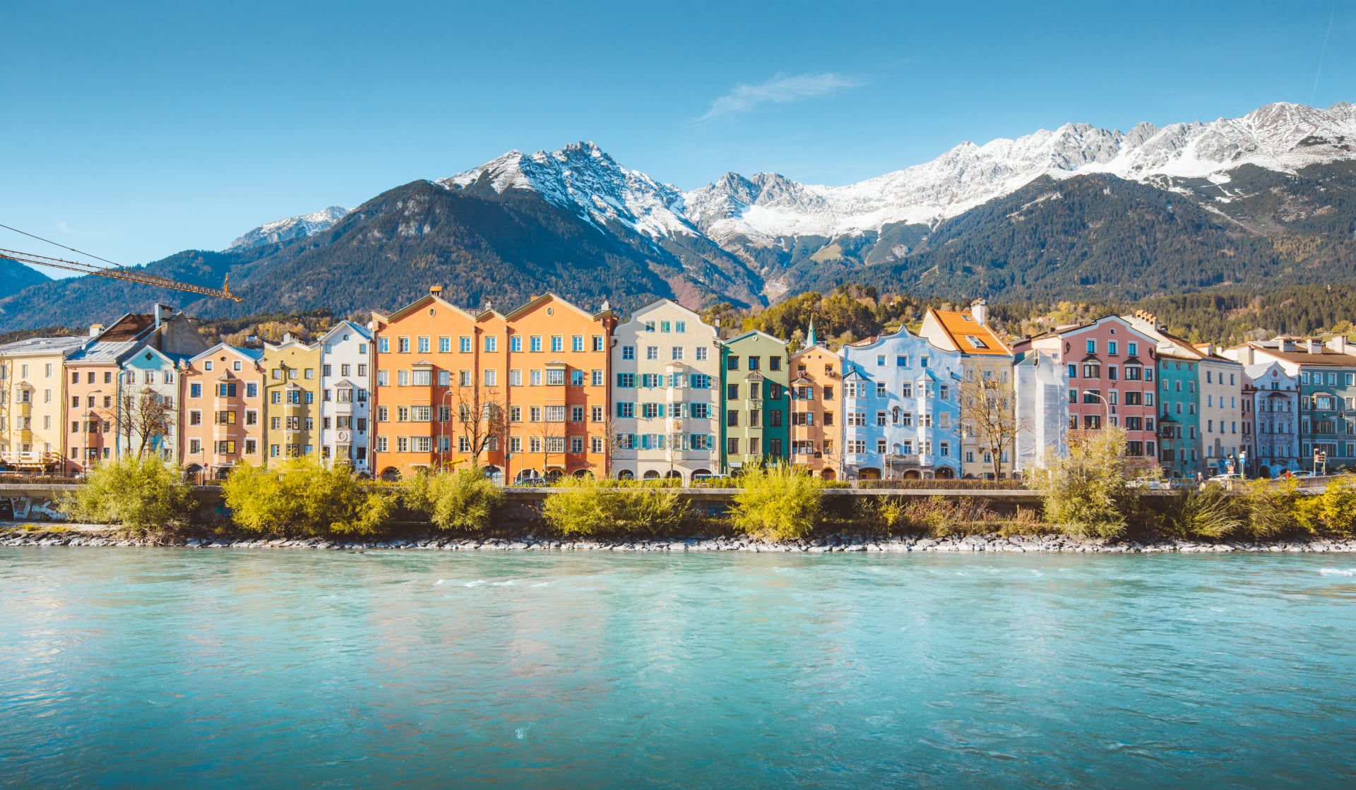
Step off the train in Innsbruck and the mountains are already waiting. The Nordkette rises straight out of the old town, and two of Tyrol's best-known long-distance routes pass within an hour of the platform. Few alpine cities put you this close to a serious trek without a car in the equation.
That is what makes hiking near Innsbruck different from most alpine cities: the range is not a scenic backdrop, it is a working trailhead. From here you can be walking a section of the Adlerweg by lunchtime or standing at a Stubai Valley trailhead before the morning is out. The whole region runs on one integrated transport network, which is the part most visitors underestimate.
This guide covers the five multi-day routes worth building a trip around, what the huts are like, how each one connects to the city, and when to go. If you are still deciding between regions, our ultimate guide to hiking in Austria shows how Tyrol compares with Austria's other alpine areas.
Best Multi-Day Treks Near Innsbruck
Five long-distance routes start within reach of Innsbruck by public transport. They are listed here shortest approach first, with the figures for the route as most people walk it rather than for the full waymarked trail where the two differ. Every one of them is hut to hut, and every one needs beds booked well in advance.
1. Adlerweg Through the Karwendel
Distance: 80 km
Days: 5
Trailhead: Pertisau
From Innsbruck: Train and bus
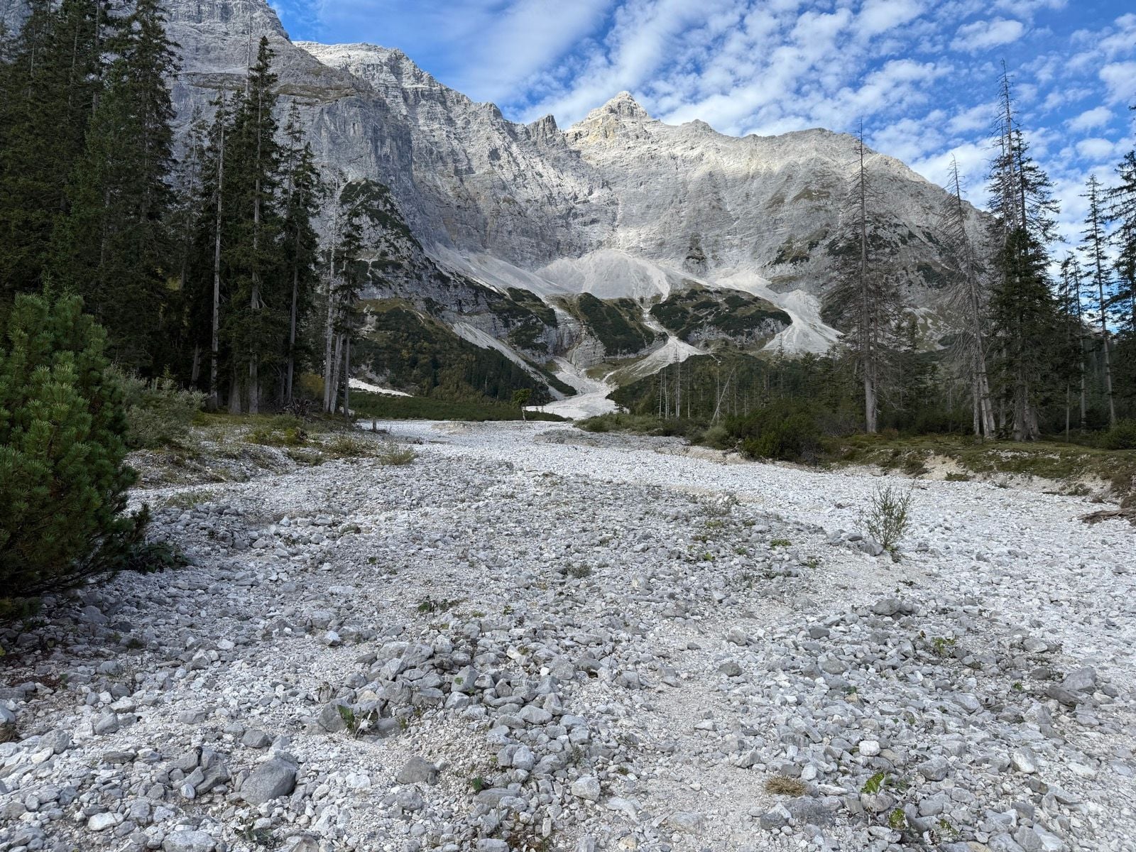
The Adlerweg, or Eagle Walk, runs 413 km across 33 stages through the whole of Tyrol, and Innsbruck sits almost exactly in the middle of it. Very few people walk all of it. The stretch through the Karwendel Alps, from the Achensee down to Innsbruck, is the one that concerns anyone based in the city, and it is the most popular section of the entire trail.
Our Adlerweg Highlights tour covers five of those stages over 80 km and around 4,500 m of ascent, starting at Pertisau on the Achensee and finishing at the Nordkettenbahn above the city. It is graded 3 out of 5 for technical difficulty, with steel-cable sections across scree that can largely be avoided on request. On fitness it is graded 4 out of 5, so it asks more of your legs than of your head for heights.
If five days is too many, the 3-Day Adlerweg walks the last stretch from Scharnitz to Innsbruck by way of the Hallerangerhaus and the Pfeishütte. At 2 out of 5 for fitness it is the gentlest way onto this trail. For the full stage-by-stage breakdown across Tyrol, see our complete Adlerweg guide.
2. Stubai High Trail
Distance: 80 km
Days: 8
Trailhead: Neustift
From Innsbruck: Bus, 30 to 45 minutes
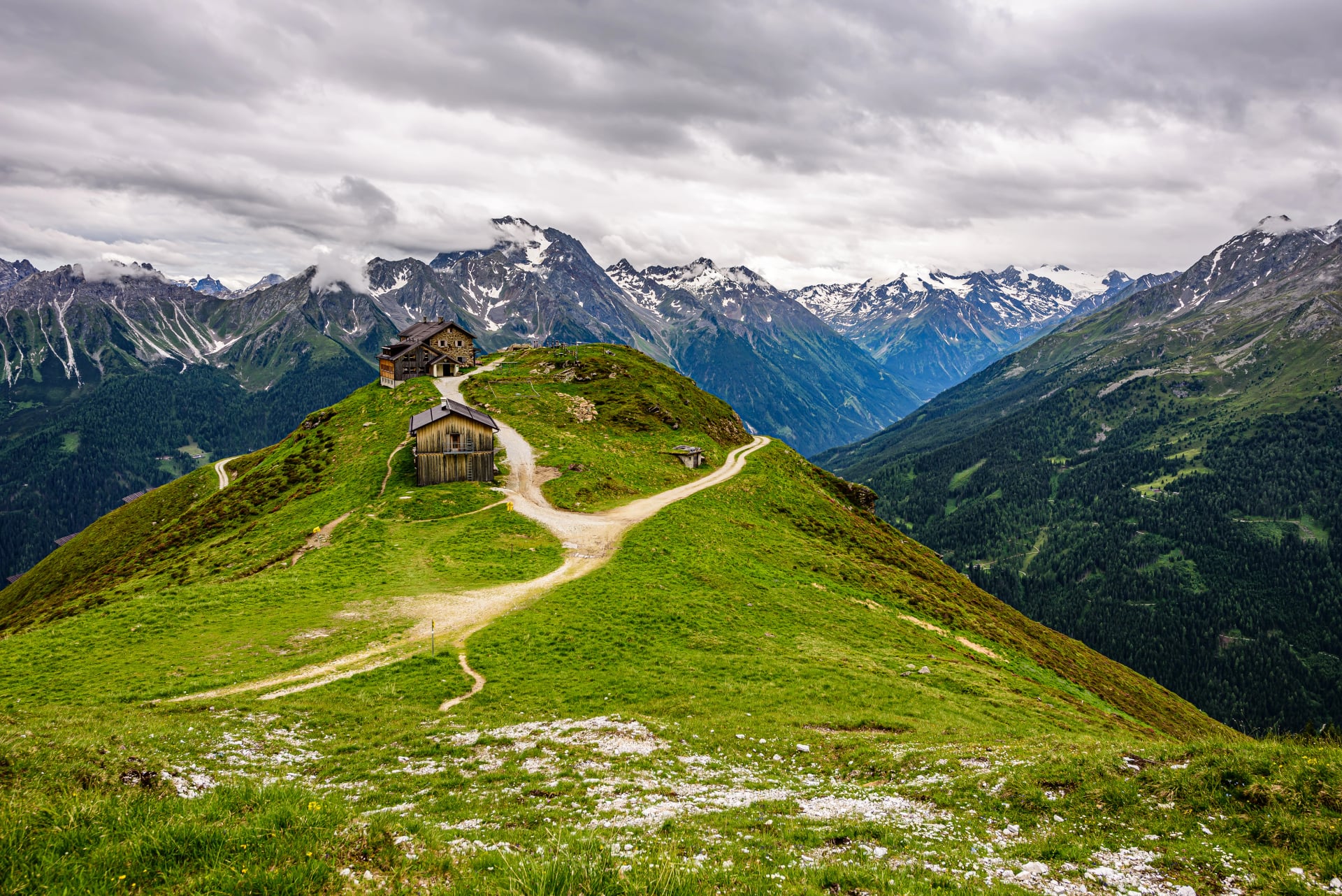
The Stubai High Trail is the other major draw, and its trailhead is closer than most visitors expect. Neustift, the starting village, is roughly 30 to 45 minutes from Innsbruck by regional bus. The trail circles the Stubai Alps over about 80 km and more than 6,000 m of ascent, officially graded as a black mountain trail, with cabled scree ascents, exposed ridge sections and sustained walking above 2,000 m.
It is a serious undertaking and one we would point towards walkers who already have some experience on exposed, cable-assisted ground. The trail is usually described as eight stages. Our Stubai High Trail tour walks the full circuit in seven days, staying at the Starkenburger, Franz Senn, Neue Regensburger, Dresdner, Nürnberger and Innsbrucker huts before the cable car back down to Neustift.
If that is more time than you have, the four-day version covers the trail's four most striking stages, including the cabled climb over the Niederl pass and the descent past the Grünausee. Both versions are graded 4 out of 5 technically and 3 out of 5 for fitness, which is the reverse of the Adlerweg and worth knowing when you choose between them.
3. Karwendel Höhenweg
Distance: 70 km
Days: 6
Trailhead: Scharnitz
From Innsbruck: Train
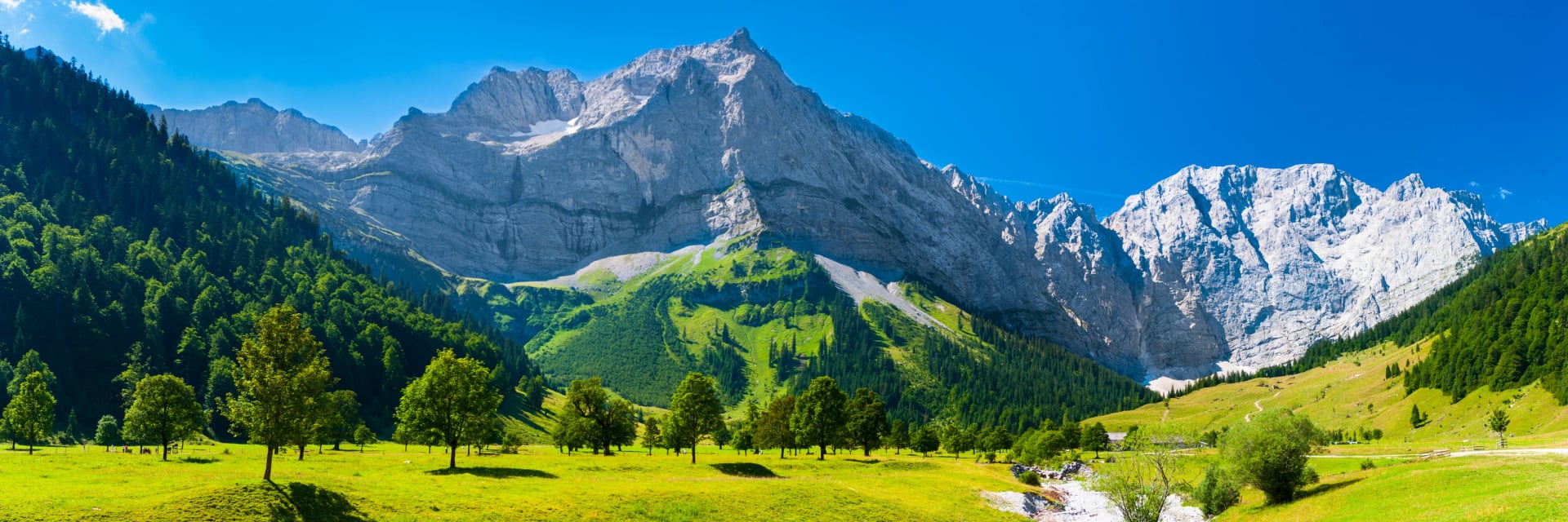
The Karwendel Höhenweg is a six-day, roughly 70 km hut-to-hut route through Austria's largest nature park, just north of the city, running between Scharnitz and Reith bei Seefeld. It is demanding, with around 9,000 m of cumulative ascent and descent across five huts, and it is officially graded black. Either end is reachable by train from Innsbruck, Seefeld or Munich.
One thing to check before you commit: the Nördlinger Hütte is closed for major renovation from September 2026 until the start of the 2028 season, and the route needs adjusting around it in the meantime. The trail itself stays open and passable, but the hut spacing changes, which matters on a route where the beds are the plan.
4. Sellrainer Hüttenrunde
Distance: 84 km
Days: 7
Trailhead: Sellrain
From Innsbruck: Bus
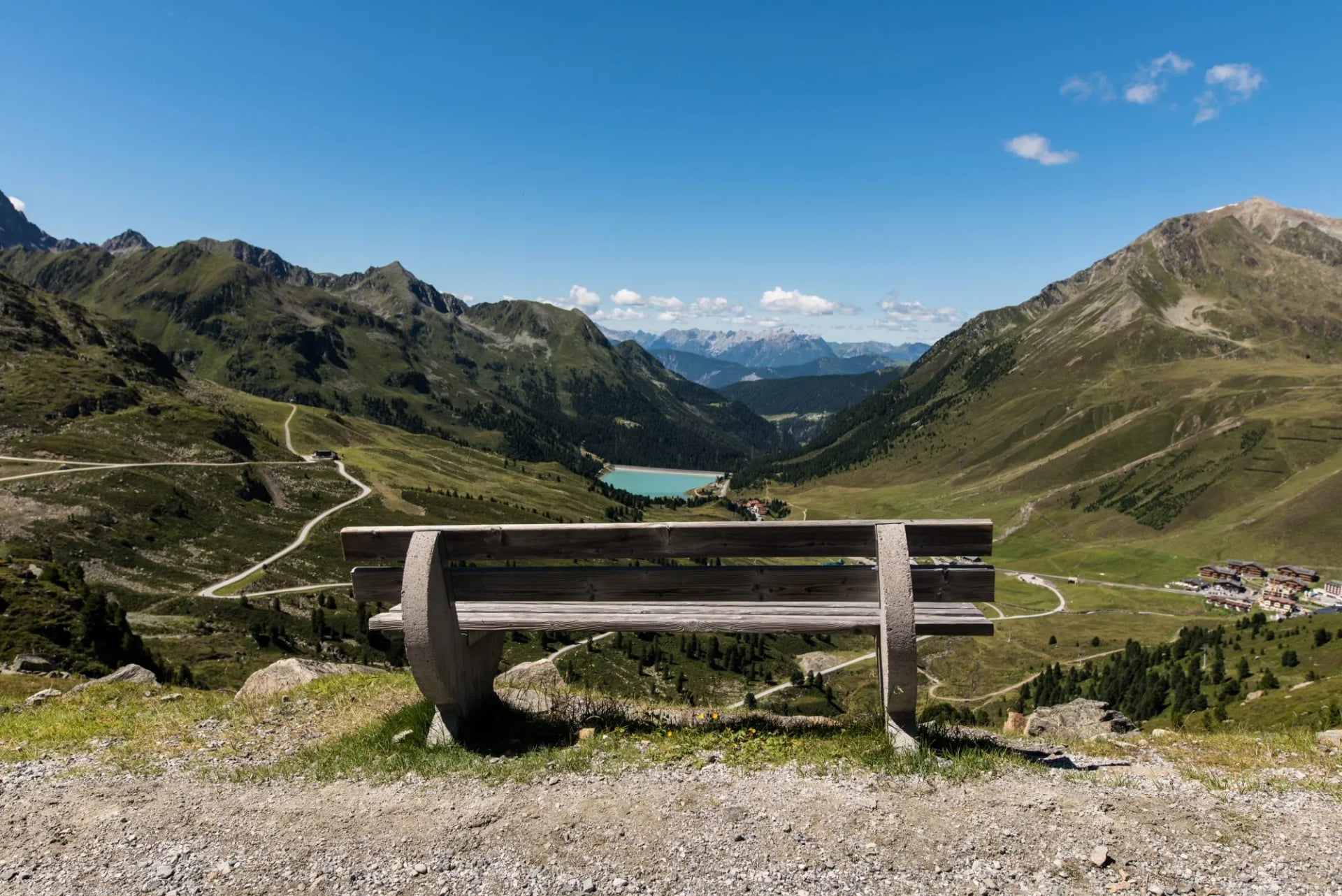
The Sellrainer Hüttenrunde runs seven stages and 84 km through the Sellrain valley southwest of the city, with around 7,000 m of ascent and a high point above 3,000 m at the Schöntalspitze. It links the Potsdamer Hütte, Westfalenhaus, Pforzheimer Hütte, Schweinfurter Hütte and Dortmunder Hütte, and it runs predominantly on black graded trails. Alpine experience and sure-footedness on exposed, cable-secured ground are a prerequisite rather than a nice-to-have.
It is the quietest of the five this close to Innsbruck, largely because it is barely known outside Austria. Do not confuse it with the similarly named Sellraintaler Höhenweg, a single-day panoramic trail in the same valley. That is a good walk in its own right, but it is a day hike rather than a trek.
5. Inntaler Höhenweg
Distance: 78 km
Days: 6
Trailhead: Innsbruck-Igls
From Innsbruck: Tram and cable car
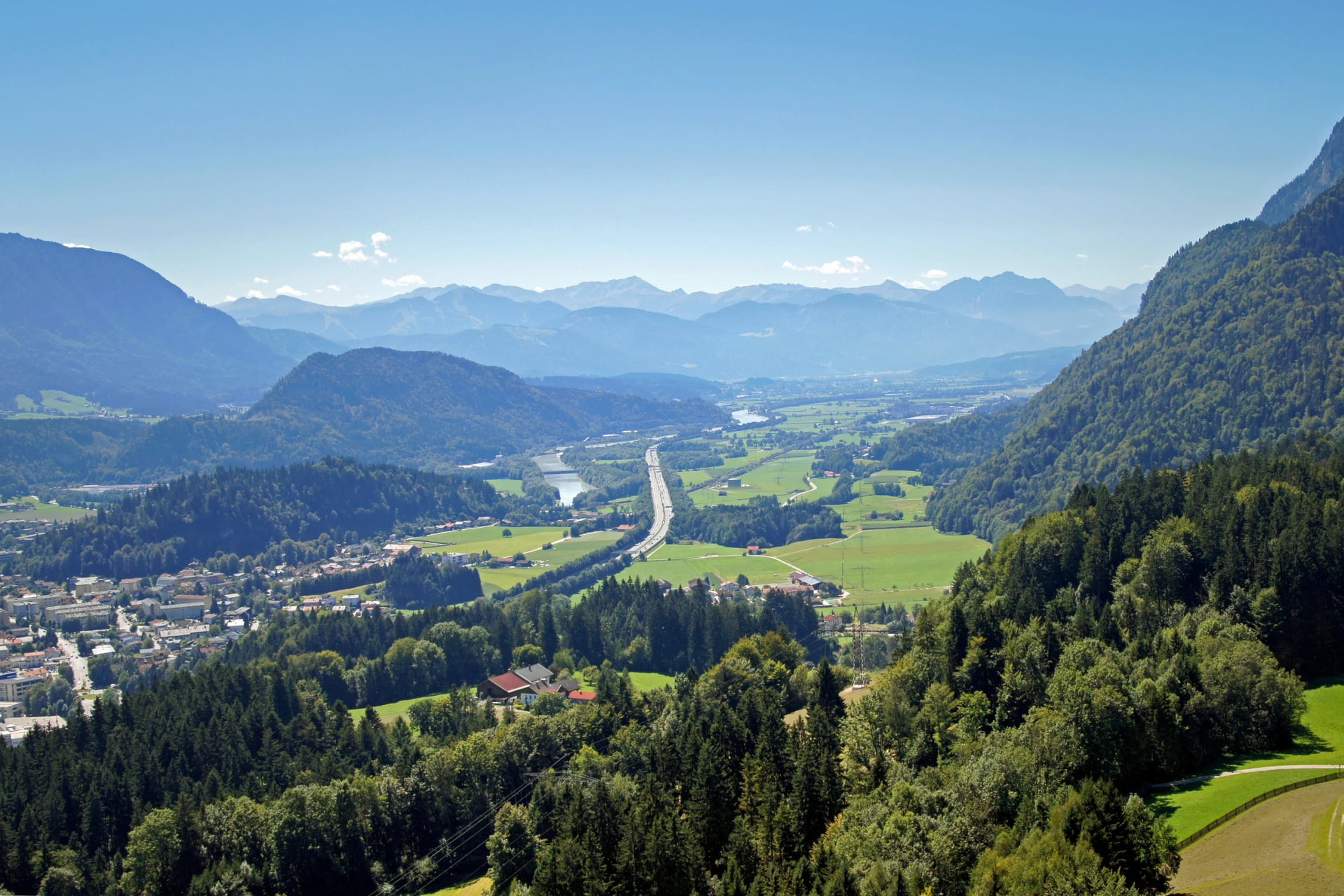
The Inntaler Höhenweg follows the 2,000 m contour line eastward from Innsbruck-Igls through the Tux Alps to Schwaz over six days, staying between roughly 1,800 and 2,800 m the whole way. It strings together the Glungezer, Lizumer, Weidener, Rastkogel and Kellerjoch huts, and its ascents are moderate by the standards of the other four routes here.
It is the only one of the five that starts inside the city boundary, which makes it the easiest to begin on a whim. Only the first stage really falls within the Innsbruck region, so it reads as a natural continuation for walkers who have already done the Adlerweg or the Karwendel and want to keep heading east.
Huts, Booking and Cash
Every route on this page is a hut-to-hut trail, and the huts are run by the alpine clubs rather than by hotels. The Austrian Alpine Club alone maintains around 234 of them, and most of the huts on these five routes belong to it or to its German counterpart. Nights are sold as half board, meaning bed, dinner and breakfast as one package, with dinner served at a fixed time, usually half past six or seven.
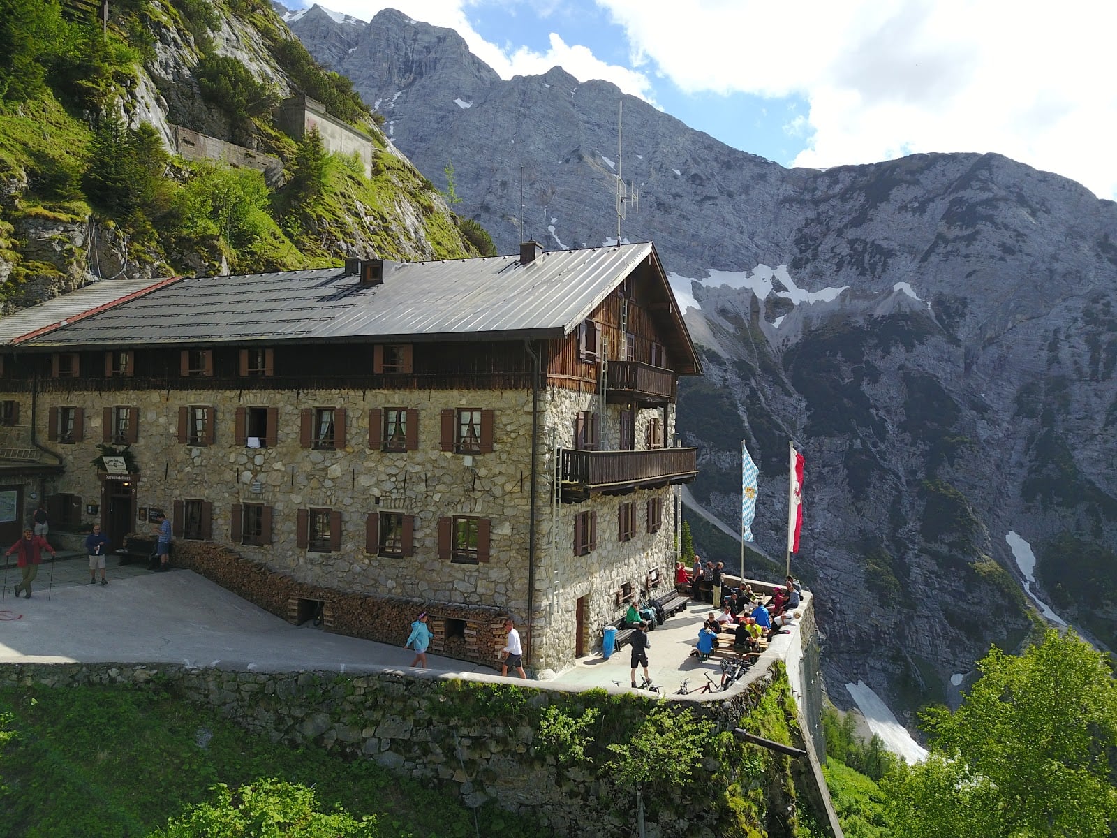
Book early. Popular huts on the Adlerweg and the Stubai High Trail fill months ahead for July and August, and most of them take reservations through a shared online platform that does not require club membership. Membership of the Austrian or German alpine club does get you a reduced rate and priority on beds, and reciprocal agreements mean a membership of several other alpine associations counts too.
Two practical things catch people out. A hut sleeping bag liner is compulsory in every bed: huts provide a blanket and a pillow and do not wash bedding nightly, so arriving without one is a problem rather than an inconvenience. And mountain huts in this region are almost entirely cash-only, with the card readers that do exist unreliable at altitude, so carry more cash than you expect to need.
Day Walks From the City
Not every trip needs a week of huts. Three walks reach real mountain ground from the city on public transport, and the first two are what our own Innsbruck week is built on.
Goetheweg to the Pfeishütte
Distance: 5.2 km to the hut
Time: 2 hours 30 minutes
Trailhead: Hafelekar top station
From Innsbruck: Funicular then two cable cars
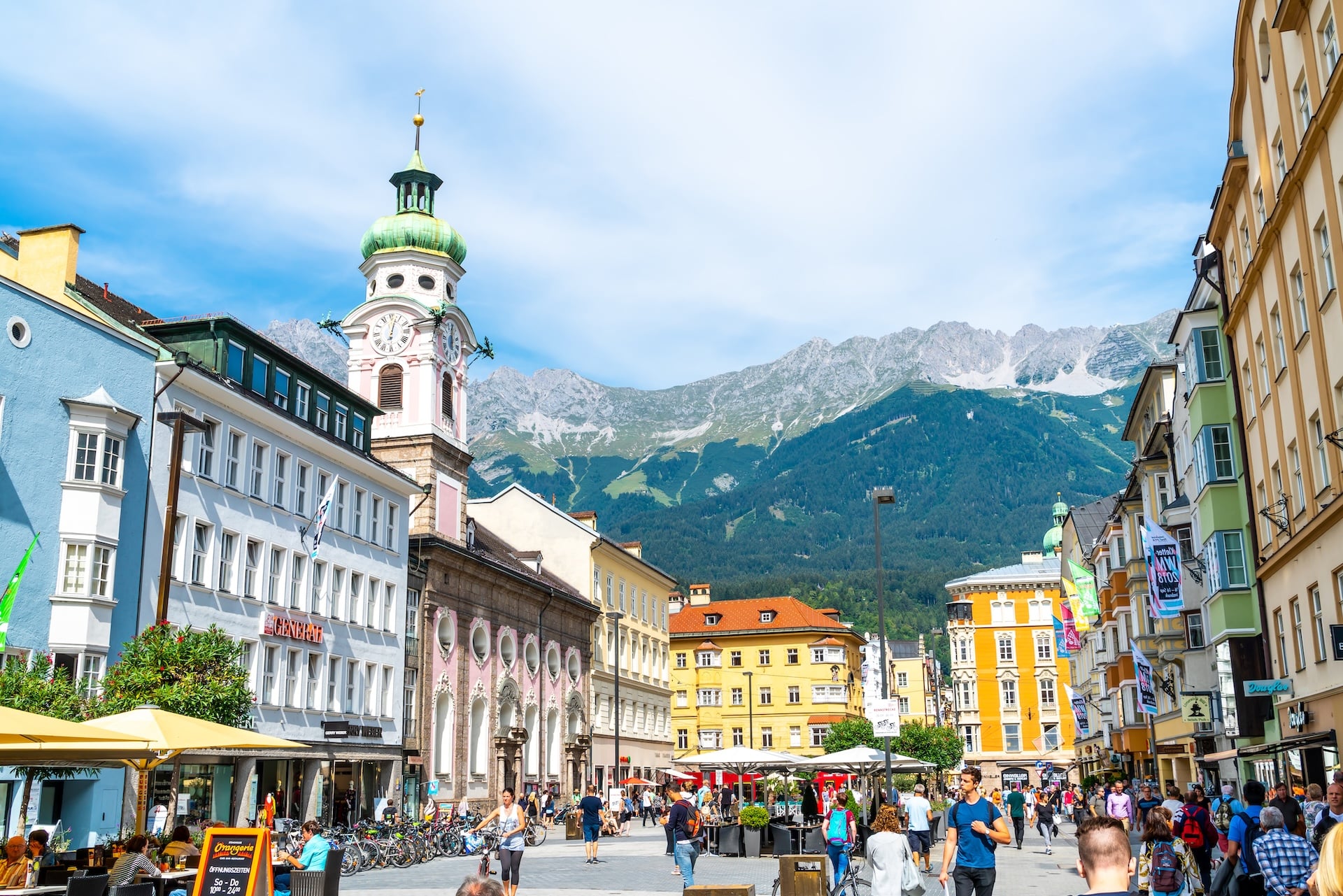
The Goetheweg leaves the ridge behind Hafelekar and runs east into the Karwendel with the Inn valley dropping away on one side. The tourist board grades it difficult, which catches out people expecting a gentle cable-car stroll: there are 769 metres of ascent in it and the high point is 2,290 metres. Exposure is the reason rather than distance, so sure footing counts for more here than fitness does.
The Zirbenweg to Tulfes
Distance: 7 km
Time: About 2 hours 30 minutes
Trailhead: Patscherkofelbahn top station at Igls
From Innsbruck: Tram or bus to Igls, then the cable car
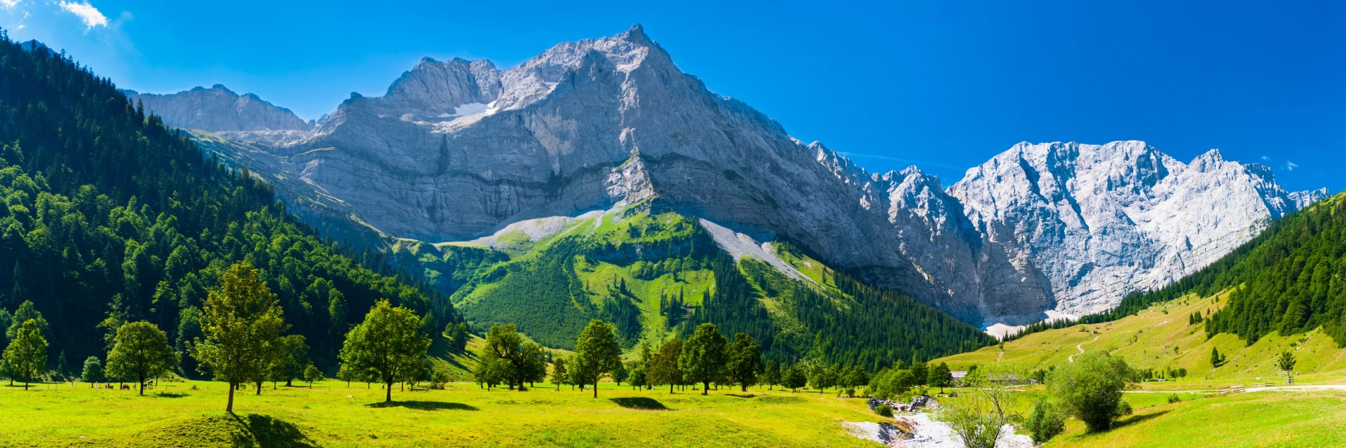
Across the valley the Zirbenweg contours the Patscherkofel through one of the largest stone pine stands in the Alps, holding the treeline the whole way at a high point of 2,060 metres. It is graded easy and the profile backs that up: 200 metres of ascent across seven kilometres, with the Nordkette filling the view opposite. Lifts serve both ends, so it needs neither a car nor a full day.
The Mühlauer Klamm
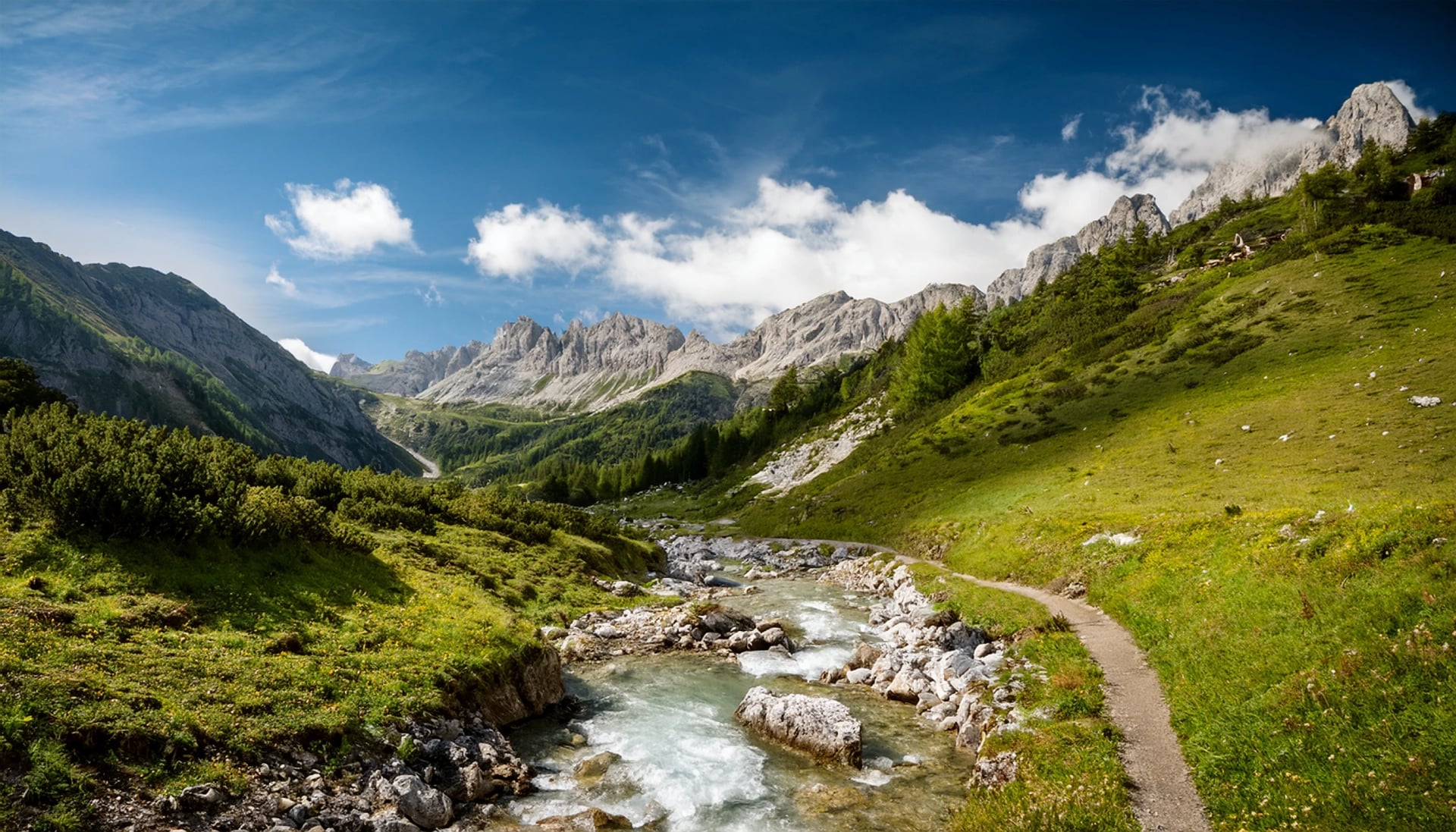
The gorge sits inside the city boundary in the Mühlau district, with the entrance at the foot of the Nordkette beside the power station. City bus A or 501 drops you ten to fifteen minutes below the start, up the Kirchgasse past the church. The path follows the Wurmbach over wooden bridges and past small waterfalls, and it is never really steep in either direction, which makes it the one to keep for a hot afternoon or a rest day between bigger outings. Information boards along the way cover the local legends, and there is a cave known as the witches' kitchen.
Our Innsbruck Sky Trails trip is built around the Goetheweg and the Zirbenweg, centre-based in the city across four days with comfort-level hotel nights rather than bunks. It is graded 4 out of 5 technically, because the Goetheweg is an exposed ridge path despite the easy access, and 3 out of 5 for fitness.
Getting to the Trailheads
Innsbruck's own airport sits close to the centre, and the train station connects to a well-built regional network run under the Verkehrsverbund Tirol that reaches most of the trailheads in this guide without a car ever entering the plan. For the Adlerweg Highlights, Pertisau on the Achensee is reachable by train and bus from Innsbruck, Salzburg or Munich airports. For the Stubai High Trail, VVT buses run from Innsbruck through Schönberg, Mieders and Telfes to Neustift roughly every half hour in season.
Scharnitz, at the northern end of both the Karwendel Höhenweg and the 3-Day Adlerweg, is a direct train from Innsbruck on the line towards Munich. Sellrain is a regional bus, and Igls is a tram ride from the city centre. The VVT Smartride app covers trains and regional buses across all of Tyrol and is worth downloading before you arrive rather than working from individual timetables or buying tickets at machines.
It is worth building at least one night in Innsbruck itself into the itinerary on either side of a trek, both for the travel connections and as a buffer if the weather moves your plans. The city is also the only place on most of these routes with a full choice of gear shops, which matters if something fails on day one.
How Hard Is Hiking Near Innsbruck?
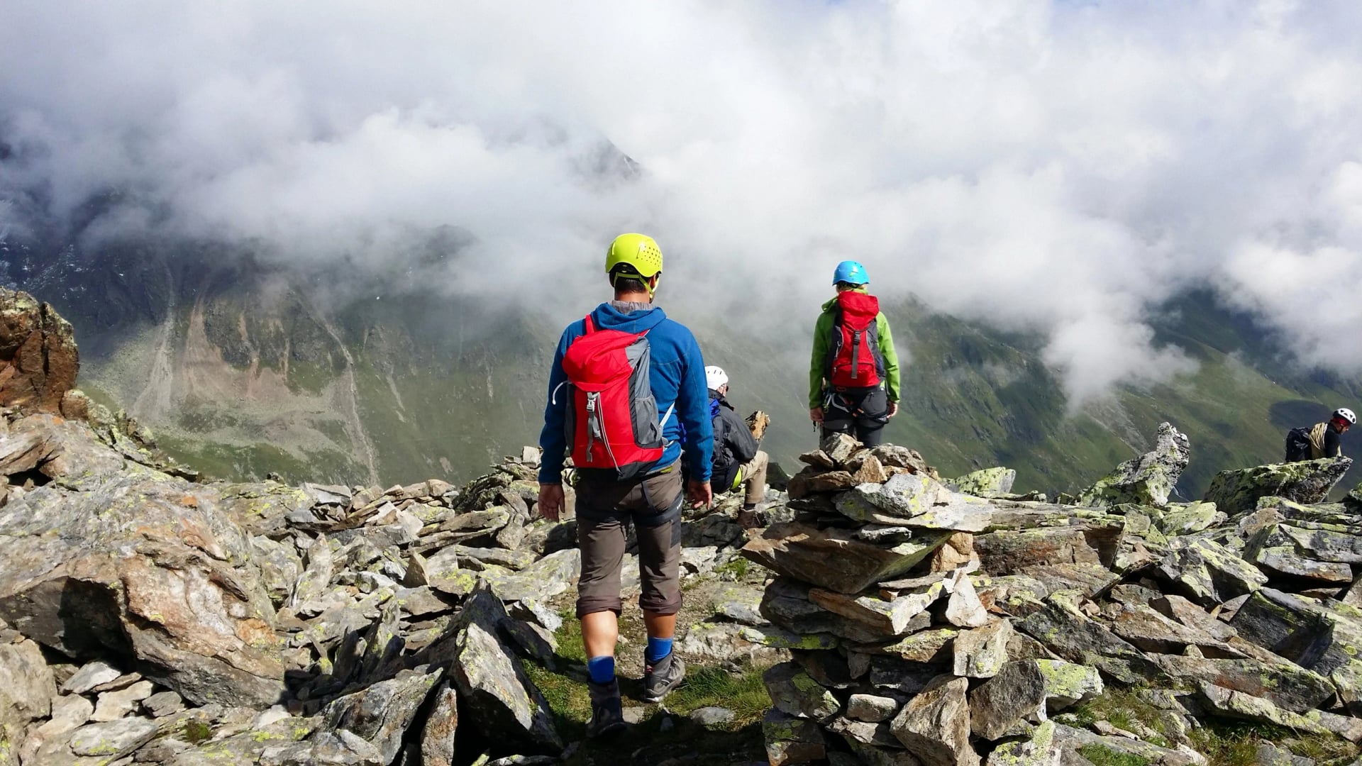
Tyrol's difficulty ratings are not always intuitive if you are used to hiking elsewhere. A trail described as moderate can still involve exposed scree and cabled sections, and the word on the signpost is doing less work than you might assume. The Stubai High Trail's black grading specifically flags steep ascents and descents, exposed passages and sections secured with cables or ladders, and the Karwendel Höhenweg is graded black for much the same reasons.
Our own gradings are a useful cross-check because they separate the two things the local scale blends. The Adlerweg Highlights is 4 out of 5 for fitness and 3 for technical difficulty; both Stubai options are 3 for fitness and 4 for technical. In plain terms the Adlerweg asks for more hours on your feet and the Stubai asks for a steadier head.
Weather adds another layer. Expect afternoon thunderstorms most days between June and August, usually building from early afternoon, which is the reason hut days start early and finish by mid-afternoon rather than any local habit. Temperature also drops around 6°C for every 1,000 m of ascent, so a warm morning in the valley can mean a cold high pass by midday.
Best Time to Hike Near Innsbruck
The core season for these routes runs from mid-June to late September, and that window matters more here than in lower destinations because the high passes hold snow well into the summer. The Stubai options are the strictest: our own tours there run July to September rather than from June, which is worth noting if you are trying to go early.
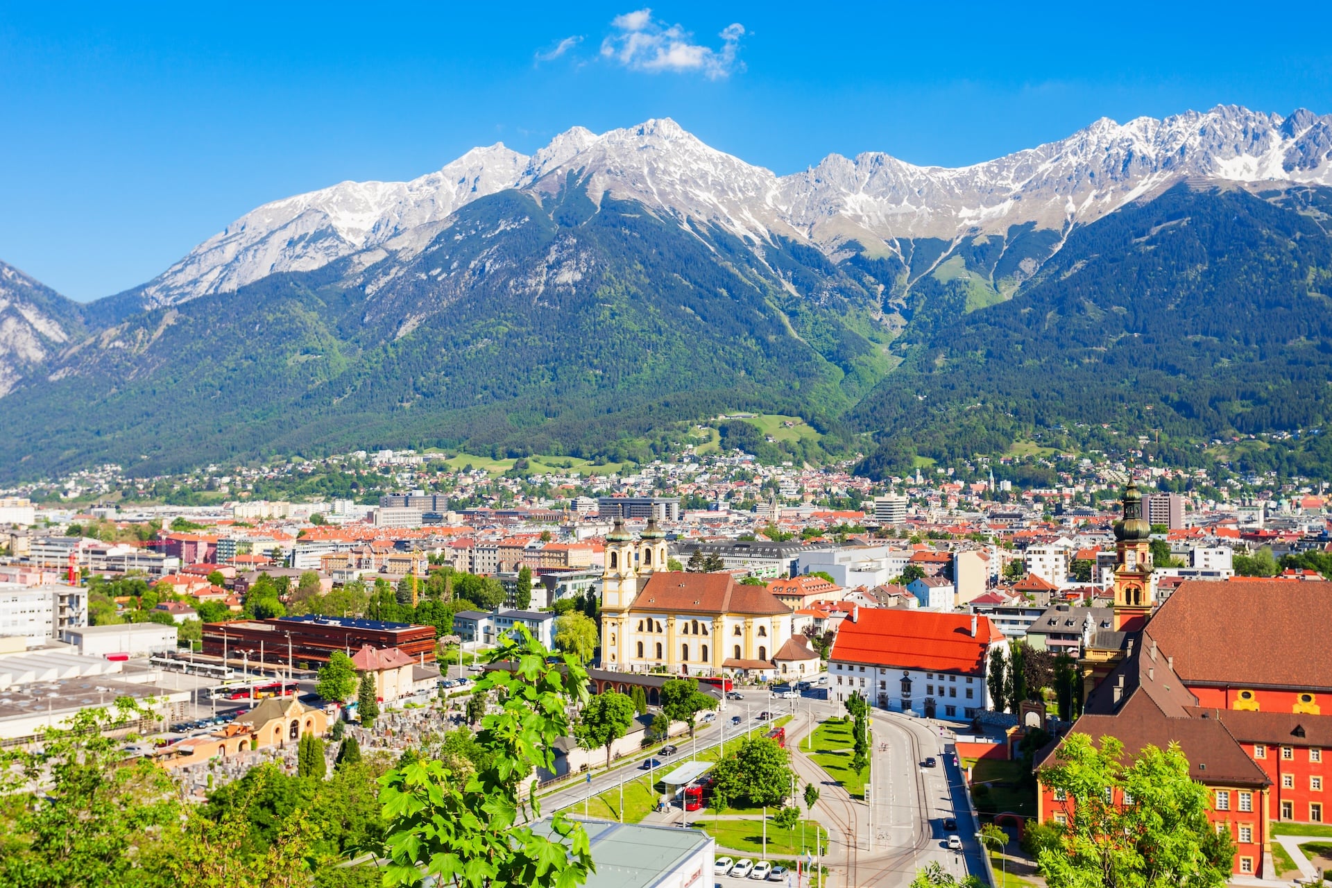
Within that window, the last ten days of June and the first half of September tend to give the best combination of cleared snow, manageable crowds and huts still fully staffed. July and August bring the most reliable weather and the fullest hut service, but also the most competition for beds, so a peak-season trek needs booking months rather than weeks ahead.
For a full month-by-month breakdown across the country, see our guide to the best time to hike in Austria.
Frequently Asked Questions
Planning a Trek From Innsbruck?
Whichever route you are drawn to, Innsbruck makes a practical base for it: five long-distance trails, two classic day walks and one transport network that reaches all of them. The hard part is matching the route to your dates, your fitness and your tolerance for exposure, and that is the part we can do quickly, so tell us your dates and we will point you at the right one.

About this author
Jon is our travel advisor and an outdoor adventurer who is happiest on the move. While mountain biking is his personal passion, he thrives on crafting hiking adventures for others — planning routes and adding the little touches that turn a trip into a core memory.














.jpg&w=828&q=75)




















































.jpg&w=828&q=75)






















