Hiking in Andorra: Best Multi-Day Treks and Huts
Hiking in Andorra means 65 peaks above 2,000 metres and four staffed refuges. Three multi-day treks compared on distance, ascent and how hard each really is.

Jon
Published July 8, 2026
Edited September 18, 2026
12 min read
Quick links
Don't want to read all this?
We've planned 2,000+ hiking trips. Send your dates, fitness and group size — we'll map the route and book every night.



Andorra is a country that rewards research. The best routes climb straight past the tourist centre into remote valleys with almost nobody else on the path, while the wrong choice on a summer weekend puts you in a car park queue at 9am. The whole principality sits inside the Pyrenees, packed into an area you can walk across in five days.
This guide covers the trails worth your time, how hard they really are, where to sleep along the way, and when to go. It deals with multi-day treks rather than single summits, because that is what the country is built for and what we run on our Andorra trips. Three routes carry almost all of that walking, and they differ more in how you sleep than in where you go.
Best Multi-Day Hikes in Andorra
To get the best out of Andorra, it is hard to beat a route that strings several of the country's best peaks and valleys together over several days, rather than picking off a single summit. The Best of Andorra Hike does exactly that, with five self-guided days climbing Estanyó, Pic de Besalí and Tristaina. If you would rather plan your own itinerary, here is how the three main options compare.
1. Best of Andorra Hike
Distance: 31.5 km
Walking days: 3
Start: El Serrat
Sleeping: Valley hotels
High point: 2,915 m
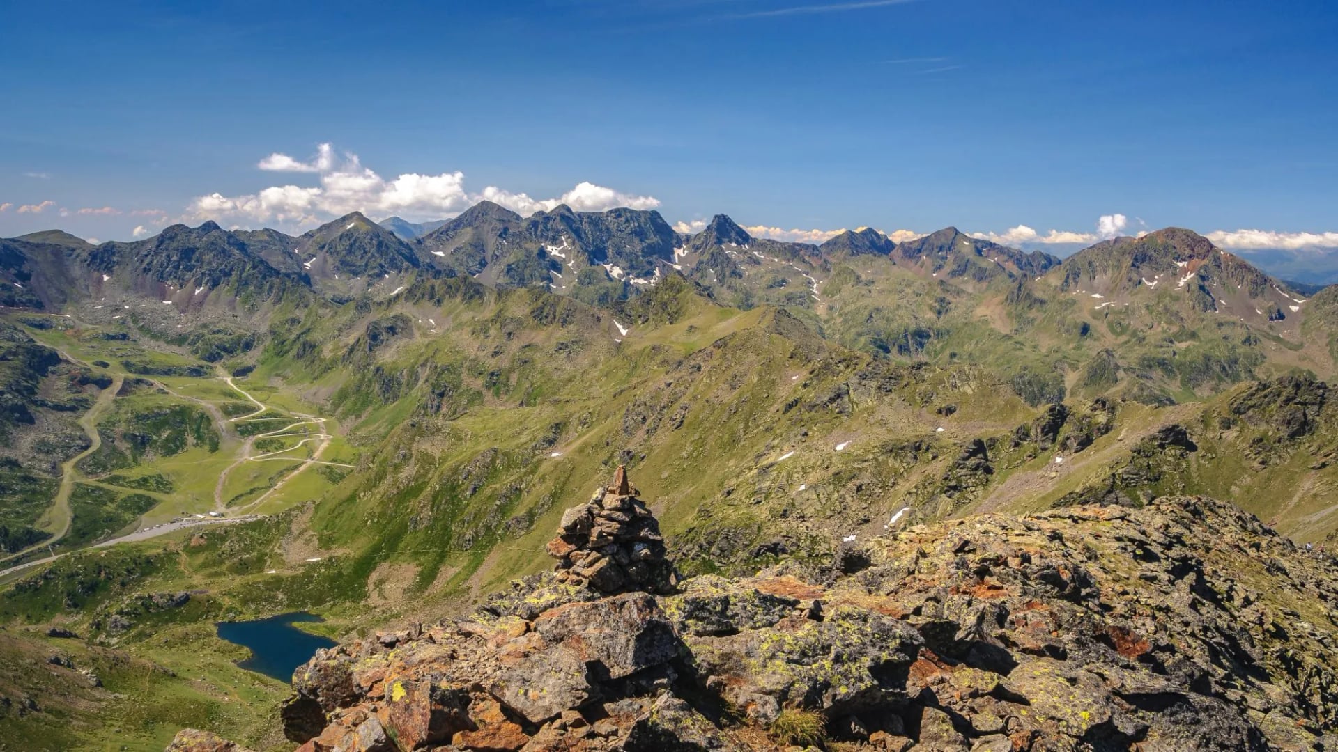
A centre-based, self-guided itinerary staying in comfort-level hotels near El Serrat and Sorteny Nature Park, climbing three of Andorra's best peaks: Estanyó at 2,915 metres, Pic de Besalí and Tristaina. The three walking days run 9 km, 13 km and 9.5 km, with 950 to 1,060 metres of climbing on each of them, for just under 3,000 metres over the trip. Because you return to the same hotel every night, it is a serious few days on foot without the logistics of moving huts and gear.
2. Coronallacs Hut-to-Hut
Distance: 92 km
Walking days: 5
Start: Escaldes-Engordany
Sleeping: Four staffed refuges
High point: 2,810 m
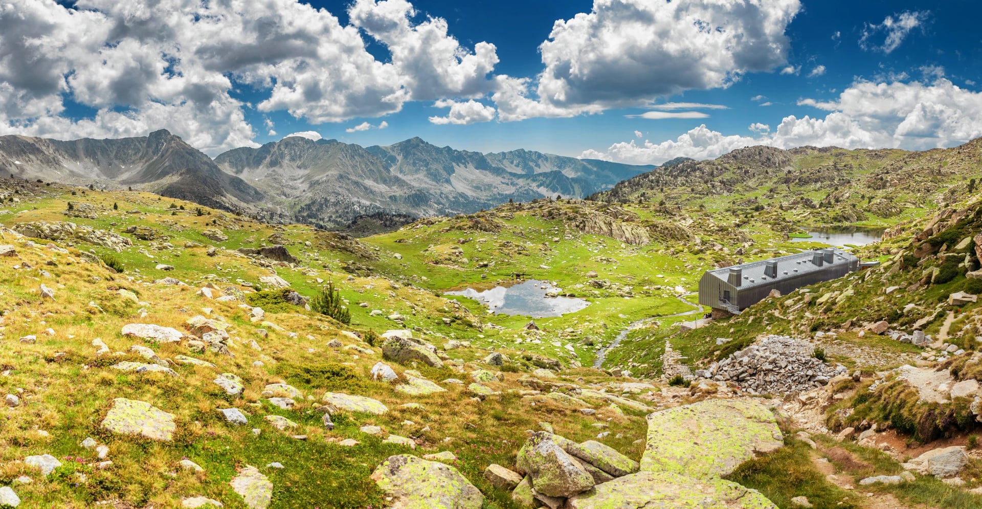
Andorra's flagship long-distance trek is a 92 km circular route connecting the country's four staffed mountain refuges, l'Illa, Juclar, Sorteny and Comapedrosa, in five stages averaging 18 km a day. It follows the GRP waymarking that loops the entire country, overlapping sections of the GR7 and GR11, and passes the Madriu-Perafita-Claror Valley, the Pessons lake cirque and views of Comapedrosa itself along the way.
The five stages published by Visit Andorra add up to close to 6,900 metres of climbing, which is what separates this from a long walk. The hardest day, Sorteny to Comapedrosa, is 21.9 km with 1,904 metres of ascent on its own. It suits hikers with real multi-day trekking experience rather than a first attempt at a hut-to-hut trip.
3. GRP Andorra: La Volta a Tot un País
Distance: 107 km
Walking days: 7
Start: Aixovall
Sleeping: Refuges and valley hotels
High point: 2,829 m
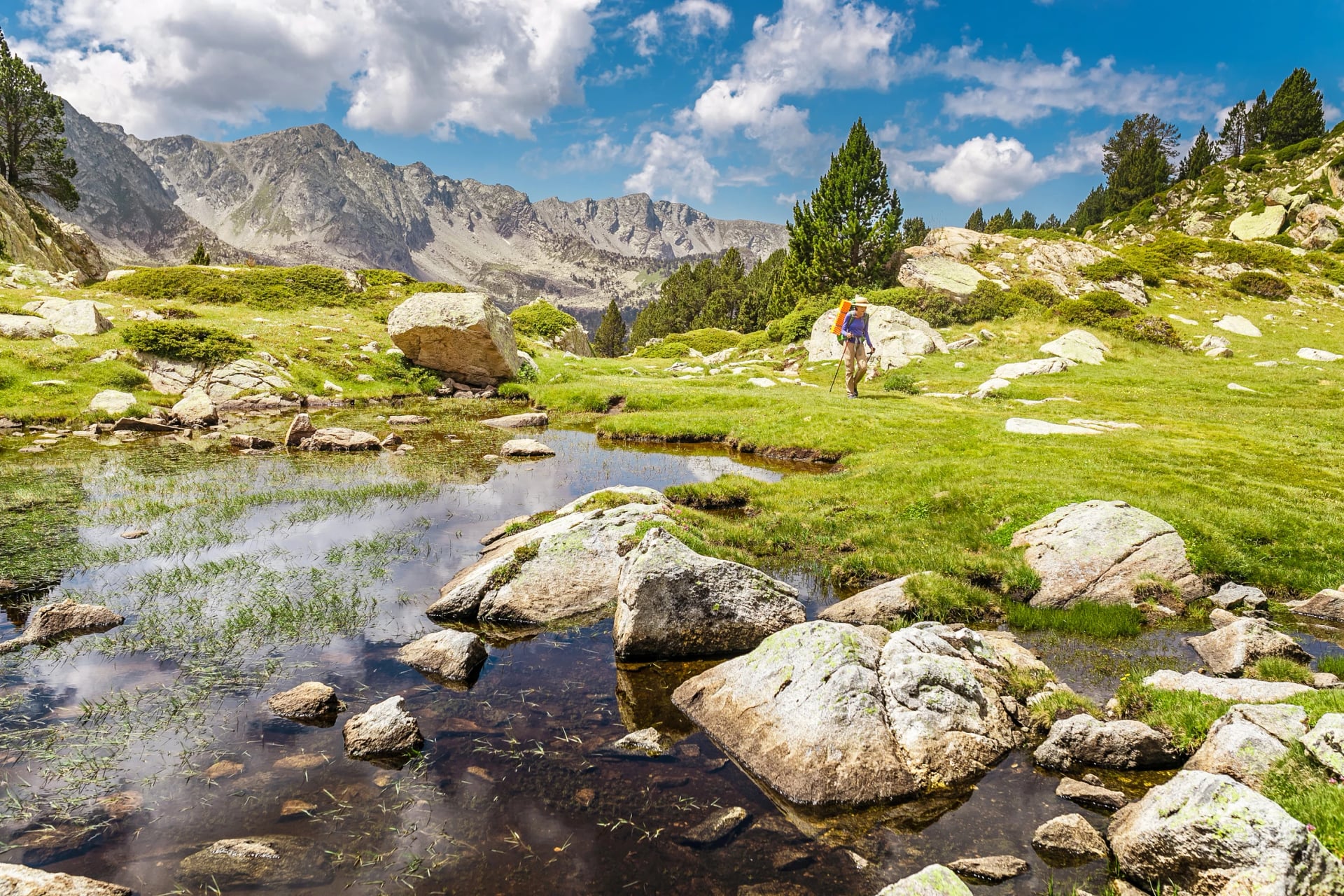
A longer, gentler variant of the same round-the-country route, walked in seven stages of 12 to 20 km, alternating nights between mountain refuges and valley hotels rather than sleeping in a hut every night. It covers much of the same ground as Coronallacs at a less demanding daily pace, which makes it a better fit if you want the multi-day experience without four consecutive nights above 2,000 metres. The trade-off is two more days on the hill and a slightly longer total.
Whichever route you choose, book hut beds well ahead for a July or August departure. The four staffed refuges on both routes have limited capacity and fill up quickly in peak season, and on the hut-to-hut circuits there is no second option once a refuge is full.
How Hard Is Hiking in Andorra
Andorra's trails are well marked and rarely technical in the climbing sense, but not technical does not mean easy over several consecutive days. Most multi-day routes climb the country's best-known peaks along the way, involving 1,000 metres or more of elevation gain per stage on rocky, sometimes loose terrain, with long exposed sections above the treeline. Our own Andorra itinerary is graded 4 out of 5 for both fitness and technical level, and the hiking difficulty guide explains what those numbers ask of you.
Weather is the bigger variable. Storms build quickly at altitude in the Pyrenees, even on a clear morning, so an early start and a turnaround time matter more than raw fitness. Locals plan routes above 1,700 metres for the window between late June and late September for this reason, and the same thinking runs through our mountain safety guide.
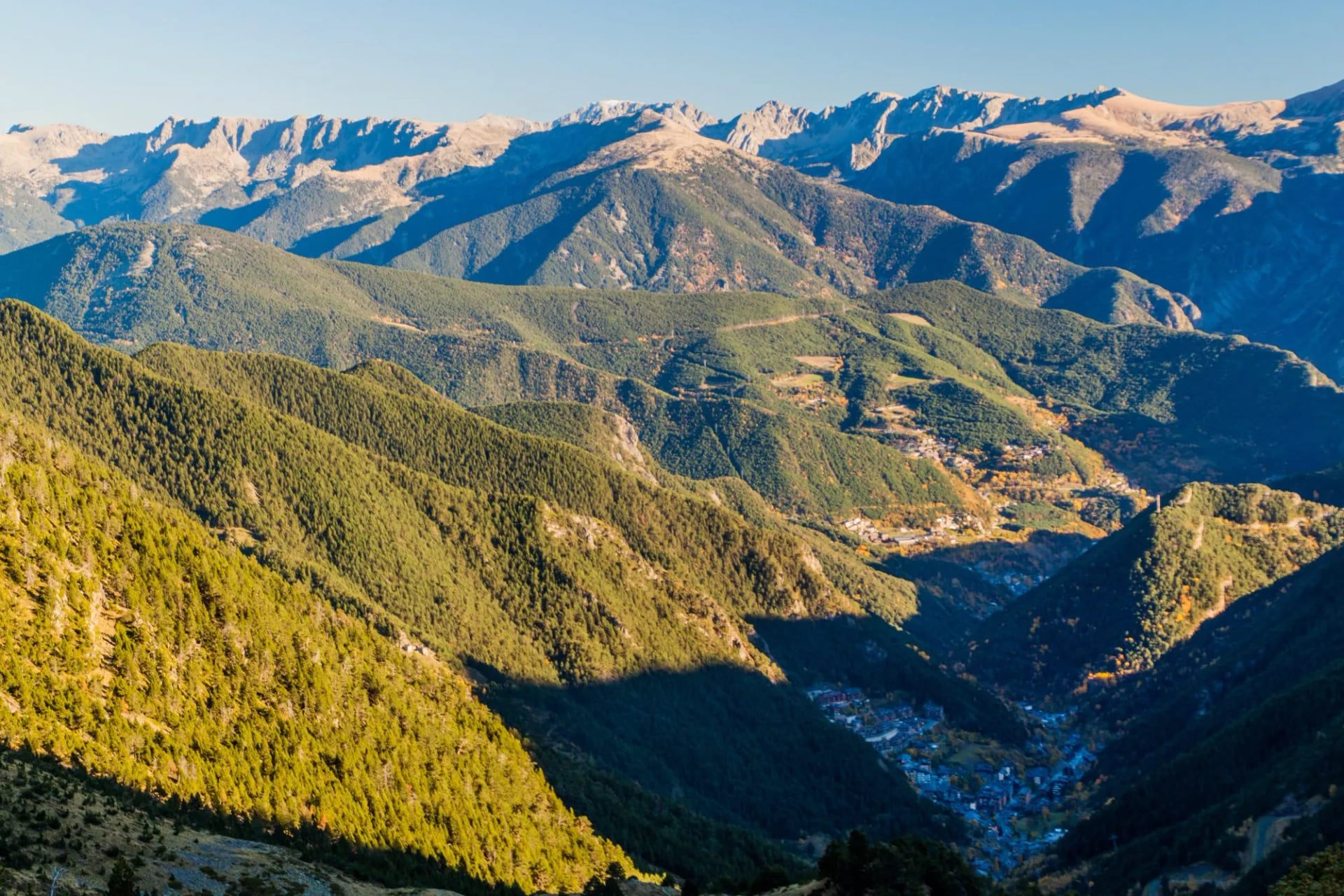
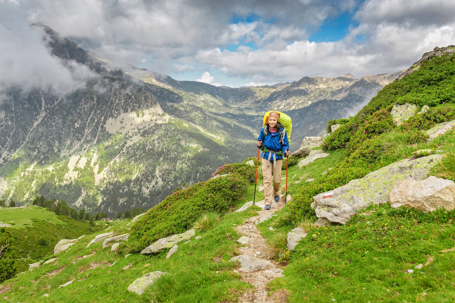
On the hut-to-hut routes, carrying your own overnight kit adds real weight, and the usual advice is a 40 to 50 litre rucksack kept under 10 kg and well below 15 kg. That sits on top of stages running up to 22 km with close to 1,900 metres of climbing on the toughest day. Altitude plays a role too, because several huts and mountain passes sit above 2,400 metres, so even fit hikers feel it on the steeper climbs.
Mountain Huts in Andorra
Andorra has exactly four staffed mountain refuges, and both of its long-distance circuits are built around them. Between them they hold 190 beds, all booked through a single reservation portal, and the rest of the country's network is free unguarded shelters with no warden and no meals. Which of the four you sleep in is the real choice on a multi-day trip here, so they are worth taking one at a time.
Refugi de l'Illa
Altitude: 2,488 m
Beds: 50
Valley: Madriu-Perafita-Claror
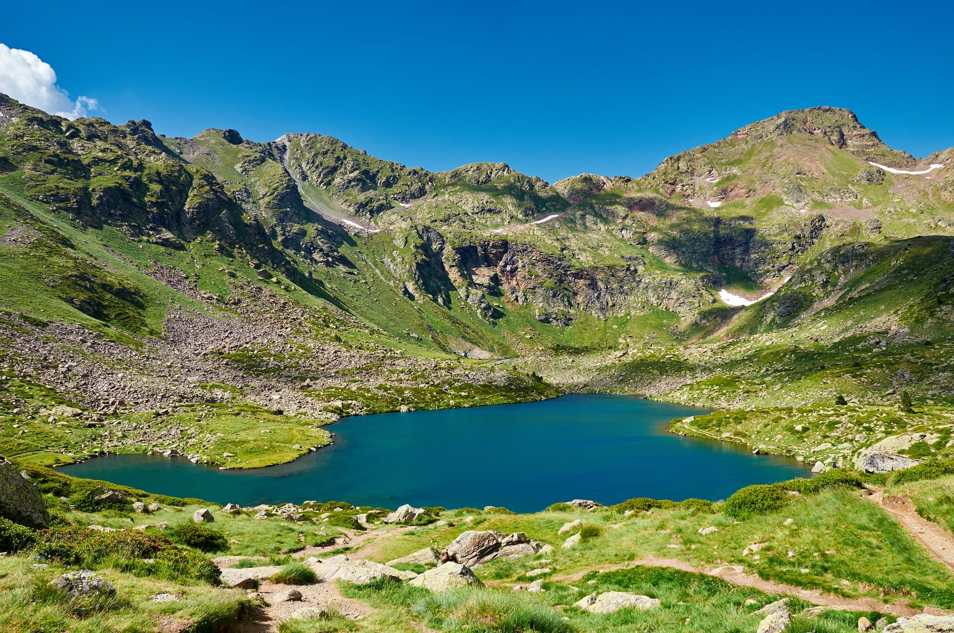
The highest of the four and the only one open right through the year. It began as accommodation for the hydroelectric workers building the Illa dam, opened as a refuge in 1981, was extended in 1993, and the building standing today was inaugurated in 2017. It sits just below the dam in the UNESCO-listed Madriu valley, at the top of a 1,473 metre climb from Escaldes-Engordany that opens the Coronallacs.
Refugi de Juclar
Altitude: 2,310 m
Beds: 50
Valley: Incles
Set beside the Juclar lakes at the head of the Incles valley, with the shortest staffed season of the four, roughly mid-June to mid-September. When the warden leaves, an adjoining unguarded section stays open for up to six walkers, with no booking and no services. That is worth knowing if you are walking either circuit at the edges of the season.
Refugi del Comapedrosa
Altitude: 2,265 m
Beds: 50
Valley: Valls del Comapedrosa
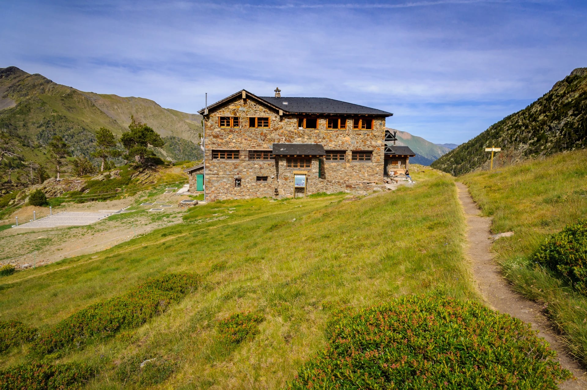
The refuge for Coma Pedrosa itself, inside the Valls del Comapedrosa nature park and about two hours on foot above the Pal Arinsal car park, a climb of some 680 metres. It is staffed through the summer season and it takes the hardest day on the Coronallacs, the 21.9 kilometres and 1,904 metres of ascent up from Sorteny. It is also the last hut on that circuit before the descent back to Escaldes-Engordany.
Refugi Borda de Sorteny
Altitude: 1,965 m
Beds: 40
Valley: Sorteny
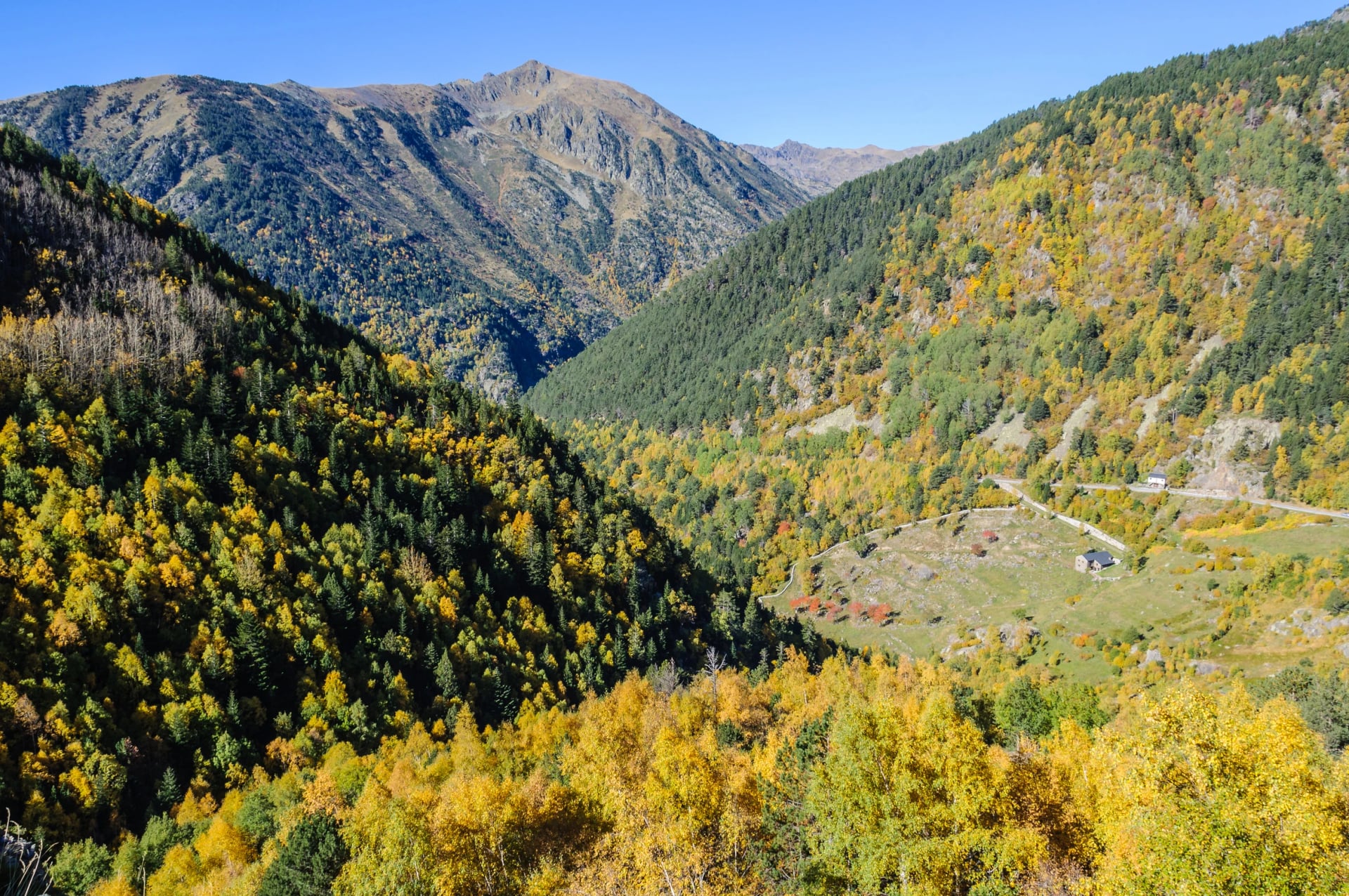
The lowest and smallest of the four, and much the easiest to reach: about thirty minutes on foot from the car park above El Serrat, with 200 metres of climbing. It stands in the Sorteny nature park, which is where Andorra's wildflower reputation comes from, and it stays open outside the summer season when the high huts do not. A borda is a dry-stone mountain barn, built to store grain, tools and livestock and to sleep in while working the high fields, which is what the name records.
All four are booked through the same portal, and staffed dates shift year to year with the snow and with maintenance, so confirm before you count on a bed. Nights are normally half board, which is what keeps pack weight down on a hut-to-hut circuit and why the rucksack advice above is as light as it is.
Where to Stay in the Valleys
Where to stay in the valleys depends on which trailheads you want closest to your door. Arinsal and La Massana sit right below Coma Pedrosa and the Comapedrosa nature park, while El Serrat and Ordino give the shortest access to Sorteny, Estanyó and the Tristaina lakes. Escaldes-Engordany and Encamp are the natural base for the Madriu valley and sit closest to Andorra la Vella if you want restaurants and shops in the evening.
Most visitors mix hotel nights in the valley with one or two nights in a refuge for the higher routes, which is exactly the structure of a trip like Coronallacs. It is also the pattern the GRP follows, which is part of why it is the easier of the two circuits to book.
Getting to Andorra and Around
Andorra has no airport and no train station of its own, so every route in starts with a bus. The nearest airports are Barcelona-El Prat and Toulouse-Blagnac, both roughly 3 to 3.5 hours from Andorra la Vella by road. Regular coach services connect both cities to the capital, and a hire car from either airport gives you far more flexibility for reaching trailheads outside town.
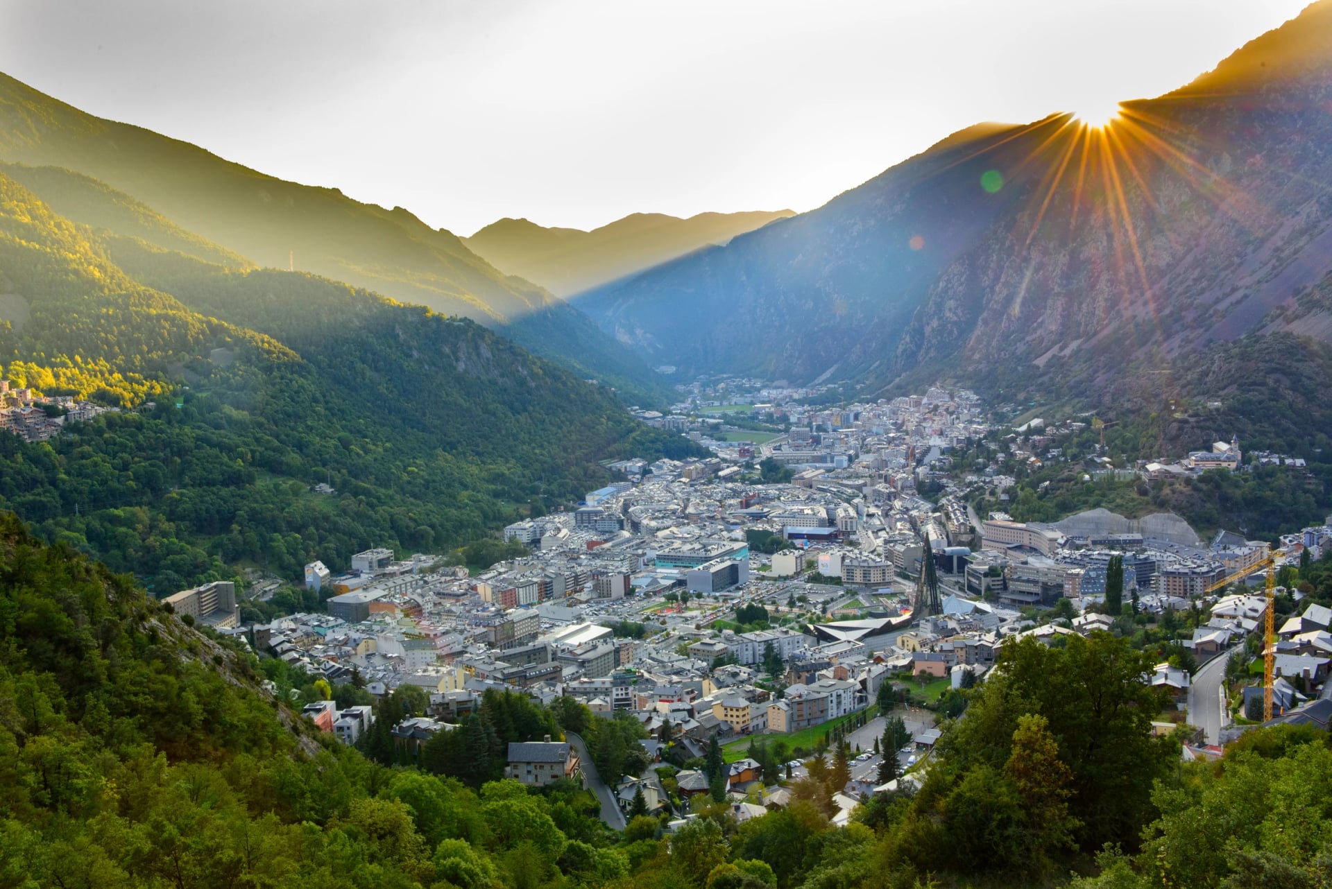
Within Andorra, local buses run between the main towns and up several of the access valleys, including Arinsal, La Massana and Ordino, though services thin out on weekends and outside summer. If your itinerary includes early starts at remote trailheads like Sorteny or Comapedrosa, a car or a pre-arranged taxi is worth the cost. Duty-free shopping in Andorra la Vella draws a lot of visitors alongside the hiking, and daily costs for food and incidentals tend to run lower than in nearby French or Spanish resort towns.
Best Time to Hike in Andorra
The hiking season in Andorra runs from late May to October, but the reliable window for the high routes is narrower: late June to late September, when snow has cleared from the passes above 1,700 metres and afternoon storms are more predictable. July and August are the busiest and warmest months, with full refuges and queues at the more popular trailheads like Tristaina.
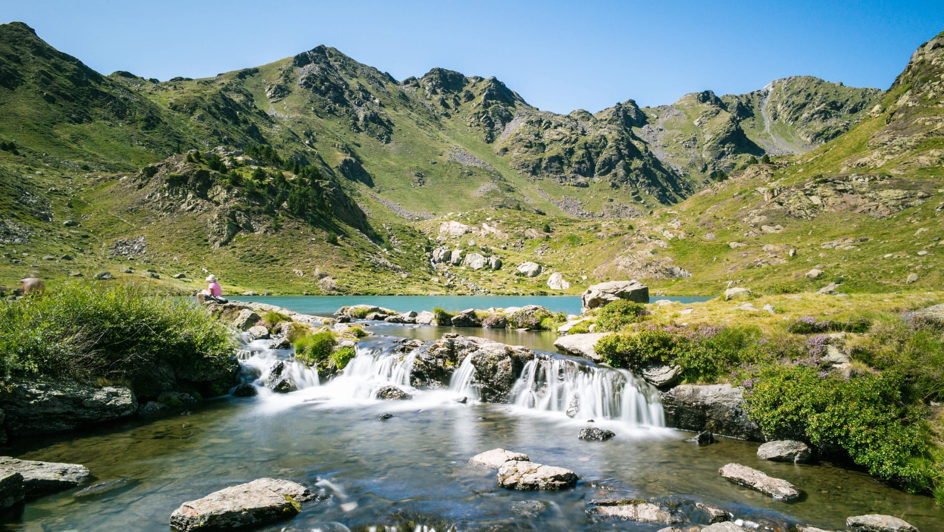
Mid-June and mid-to-late September are the sweet spots. The crowds thin out, hut beds are easier to come by, and the wildflowers in Sorteny and Comapedrosa are often at their best in early summer, while the autumn light suits the higher ridgelines. Snow can linger into July on north-facing routes after a heavy winter, so check conditions before committing to anything above 2,700 metres early in the season.
Andorra's Peaks, Parks and Trails
Andorra sits entirely within the Pyrenees, and its average elevation is 1,996 metres, higher than the summit of many hikes elsewhere in Europe. Coma Pedrosa reaches 2,942 metres, the highest point in the country, with Pic de l'Estanyó at 2,915 metres behind it and a handful of other summits above 2,900 metres. Sixty-five peaks in all rise above 2,000 metres, in an area smaller than most national parks.
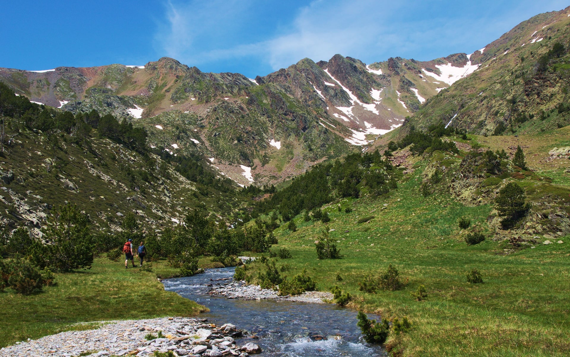
Three protected areas cover a large share of the country: Comapedrosa, home to the highest peak, Sorteny, known for its wildflowers and biodiversity, and Madriu-Perafita-Claror, a UNESCO World Heritage cultural landscape that takes up 9 percent of Andorra and is recognised for a communal land-ownership system dating back to the 13th century.
Trails link glacial lakes, historic iron-mining routes and mountain passes that cross into France or Spain within a few hours' walk, which is why the ranges either side are worth reading about together with this one: the Spain hiking guide and the France hiking guide both cover Pyrenean trails that start within a day of the border. Andorra also carries three long-distance waymarked routes, the GR7, the GR11 and the GRP that loops the country through its four staffed huts, so signage and navigation are more consistent than in much of the wider Pyrenees.
Language, Water and Wildlife
Catalan is the sole official language, though Spanish and French are widely spoken, and English is common in hotels and the larger valley towns, less so in the staffed mountain refuges, so a few basic phrases help. Tap water is safe to drink throughout the country. Andorra uses the euro but sits outside the EU, which is what makes the duty-free shopping in the capital worth a detour on a rest day.
One hazard worth a mention is the Pyrenean asp viper, which is present in Andorra's lower, sun-exposed terrain, including the dry-stone shepherd paths through the Madriu valley. They are shy and bites are rare, but it is sensible not to reach blindly into rock piles or dry-stone walls, and to watch the path on warm mornings when snakes bask on sunlit rock.
Frequently Asked Questions
Planning Your Days in Andorra
Andorra rewards preparation more than most Pyrenean destinations. The peaks sit close together, but the gap between a well-timed trip and a crowded, under-booked one comes down to planning: choosing your season carefully, booking hut beds early, and matching the route to your fitness rather than your ambition. Three routes, three very different weeks, and only one of them lets you sleep in the same bed every night.
If you would rather hand that groundwork to someone who has already done it, we plan routes across Andorra and the wider Pyrenees and can help you find the right one.

About this author
Jon is our travel advisor and an outdoor adventurer who is happiest on the move. While mountain biking is his personal passion, he thrives on crafting hiking adventures for others — planning routes and adding the little touches that turn a trip into a core memory.





.jpg&w=828&q=75)




















































.jpg&w=828&q=75)





















