Hiking in Kranjska Gora, Slovenia
Plan a week of hiking from the charming Kranjska Gora: from the trails worth walking to the fitness required.

Jon
Published August 26, 2026
Edited August 26, 2026
10 min read
Quick links
Don't want to read all this?
We've planned 2,000+ hiking trips. Send your dates, fitness and group size — we'll map the route and book every night.



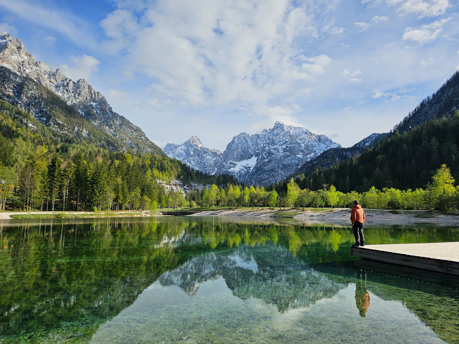
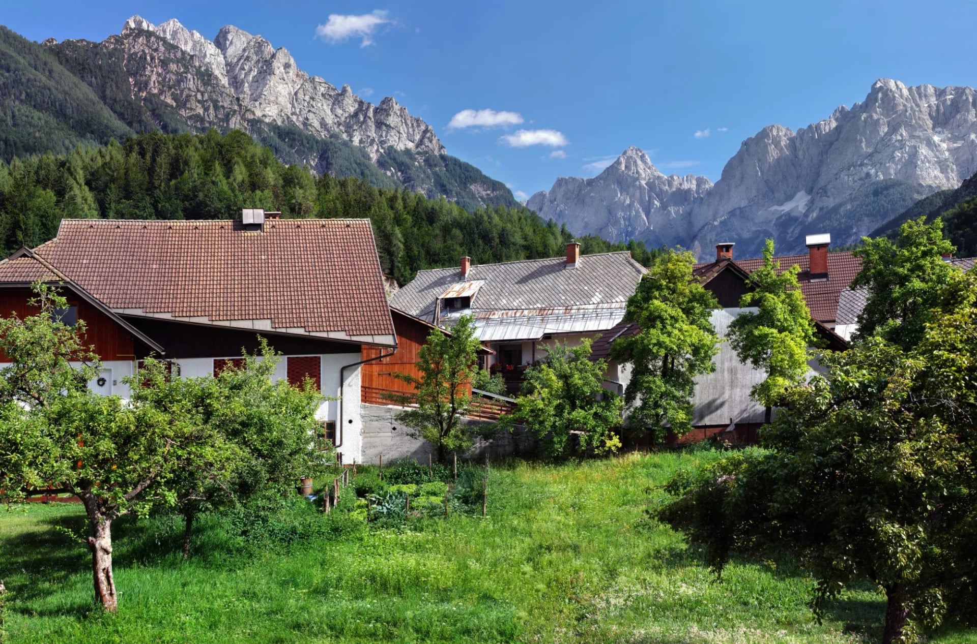
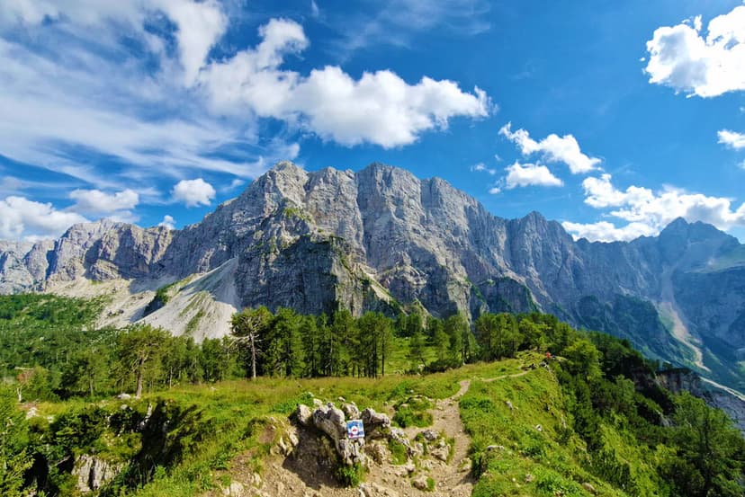
Kranjska Gora is a settlement that sits at 806 meters above sea level in Slovenia's northwestern corner, tucked into the Upper Sava Valley with the Italian and Austrian borders a short walk away. What you see on arrival is the point of the town — the north wall of the Julian Alps rising directly above the roofs, with Špik, Prisojnik and Razor cutting the skyline in one continuous limestone line.
We’ll take you through seven of the best hikes, an honest read on difficulty, the season and transport logic that make the town work as a week-long base.
The essentials:
Kranjska Gora: Base town at 806 m in NW Slovenia
Hiking season: June to late September for high routes, May to October in the valleys
Helpful to know: Slovenian is the official language, euro the currency. English is spoken in touristic businesses and areas.
About Kranjska Gora
Kranjska Gora is a walking base first and a village second. Its name means, roughly, "Carniolan Mountain" — Carniola being the historical region that covers most of today's Slovenia. The town is small enough to cross on foot in ten minutes, dense enough with restaurants and outfitters to cover a week's needs, and set up specifically for people who came to hike. For most visitors, it's the natural choice of outpost.
It sits closer to the Italian and Austrian borders than to any other Slovenian town of its size. It's also a winter sports town first. The Vitranc Cup has been on the FIS men's alpine tour since 1968, and the famed Planica Nordic Centre sits five kilometers west.
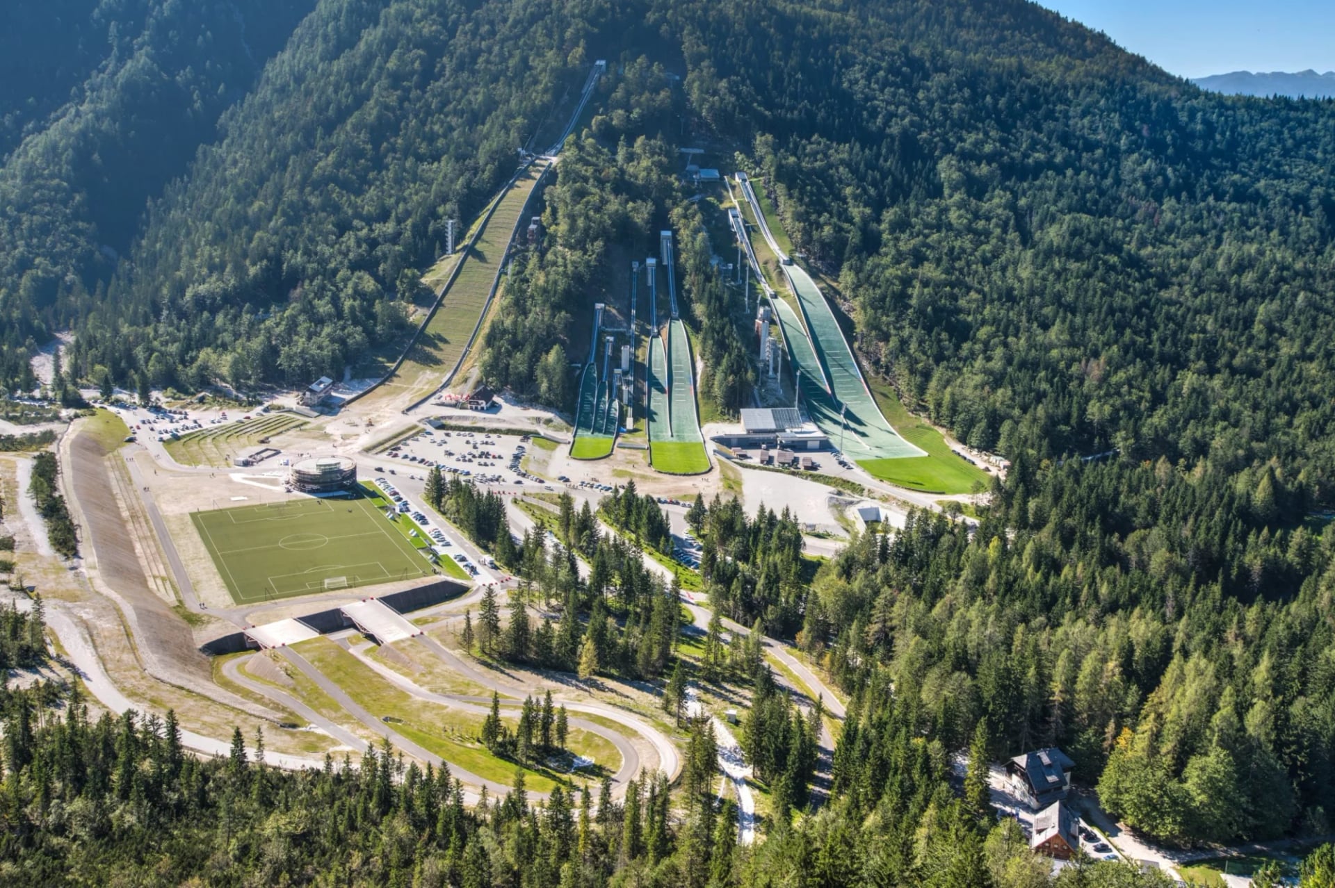
Summer hiking is the second reason for visiting — a quieter and slower season than the ski months, but growing every year.
The Best Hikes from Kranjska Gora
The seven trails below cover the range from a stroller-friendly waterfall loop to a technical via ferrata. They're the hikes worth building a week around — every one has a distinct character, and between them they show you what the northern Julian Alps actually feel like on foot.
Multi-day Trails
Juliana Trail
Distance: 270 km circular · Stages: 16 · Duration: 12–17 days · Difficulty: Moderate (non-technical, but strenuous) · Best months: May to October
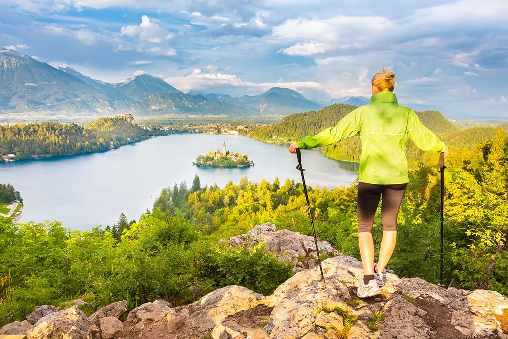
The Juliana Trail is a 270 km circular thru-hike around the Julian Alps, split into 16 stages, starting and ending in Kranjska Gora. It's designed to give you the alpine scenery without tougher alpine challenges — no summit ridges, no scrambling, no exposure. The route threads Lake Bled, Lake Bohinj, the upper Soča valley and the Italian side of the range.
Alpe-Adria: Kranjska Gora to Cividale del Friuli
Distance: ~140 km · Stages: 6 (E23–E28) · Duration: 8–10 days · Difficulty: Moderate (non-technical) · Best months: May to October
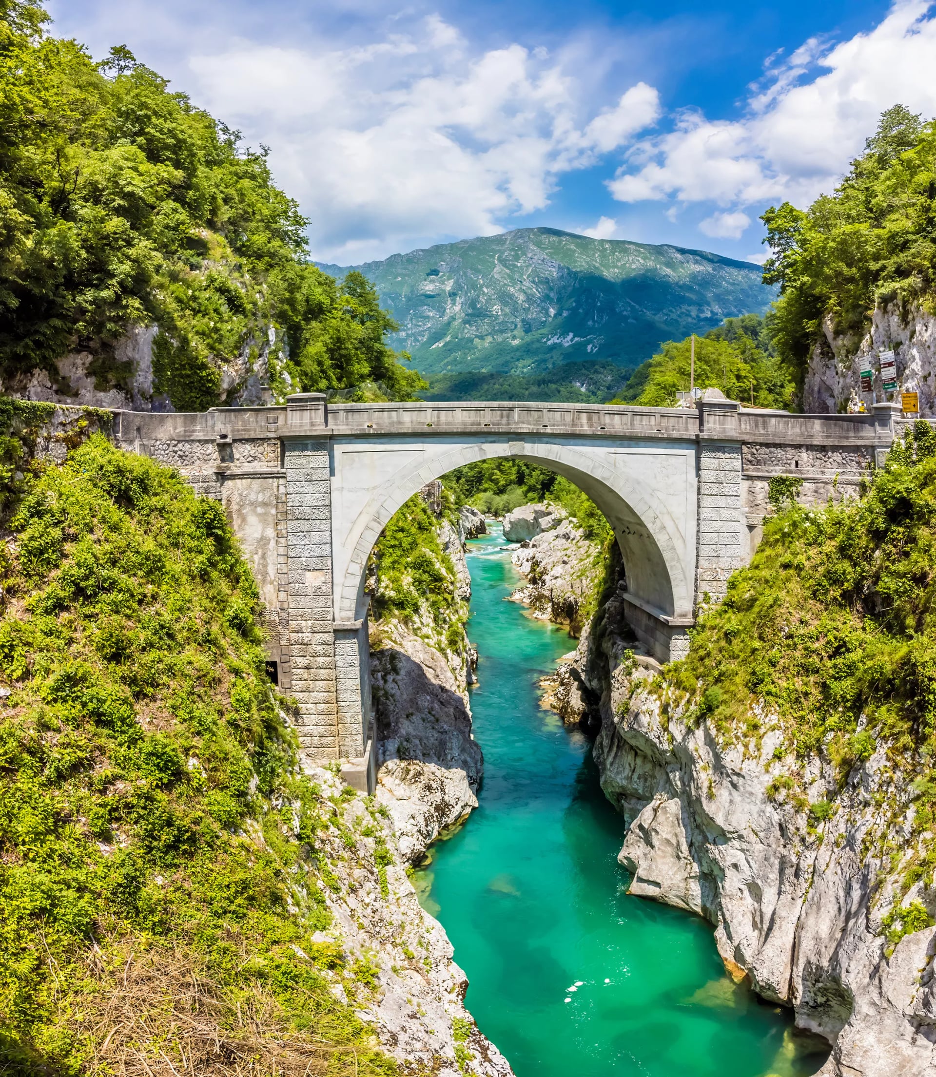
Stages E23 to E28 of the Alpe-Adria Trail carry you from alpine Slovenia to Mediterranean Italy, starting in Kranjska Gora. The route drops through the Julian Alps via Vršič, threads along the turquoise Soča valley, crosses the WWI battlefield sites on the Kolovrat ridge, and finishes across the border in the medieval town of Cividale del Friuli.
Both trails combined into a single itinerary:
Where to Start
The trails around Kranjska Gora fan out from four distinct trailhead areas. Knowing which one you're standing at makes the choice much easier than a single ranked list.
Vršič Pass side
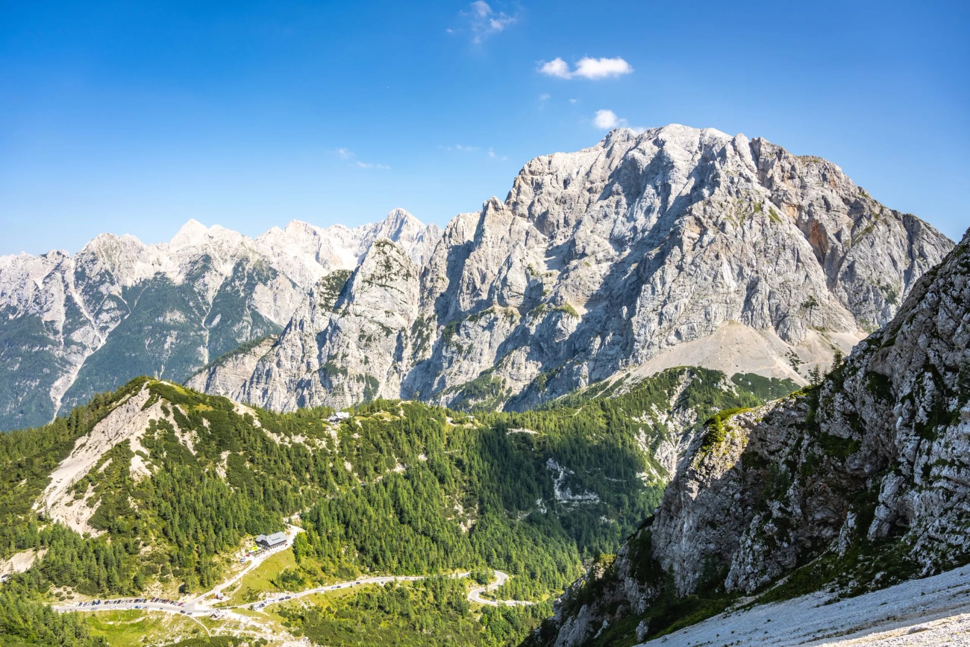
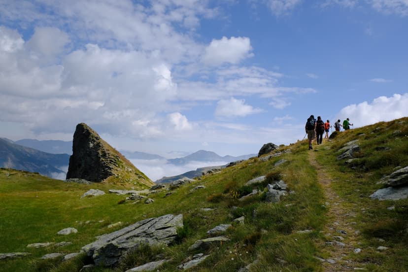
The classic day-hike corridor. Vršič sits at 1,611 m — Slovenia's highest paved mountain pass — and gives you a running start on Slemenova Špica, Mala Mojstrovka, Prisojnik's window, and the Erjavčeva koča hut circuits.
Vitranc chairlift side
The lazy way up. The Vitranc 2 chair lifts you from town to 1,568 m in fifteen minutes, and Ciprnik's panoramic ridge is under an hour from the top station. This is your rest-day route.
Rateče and the Italian border side
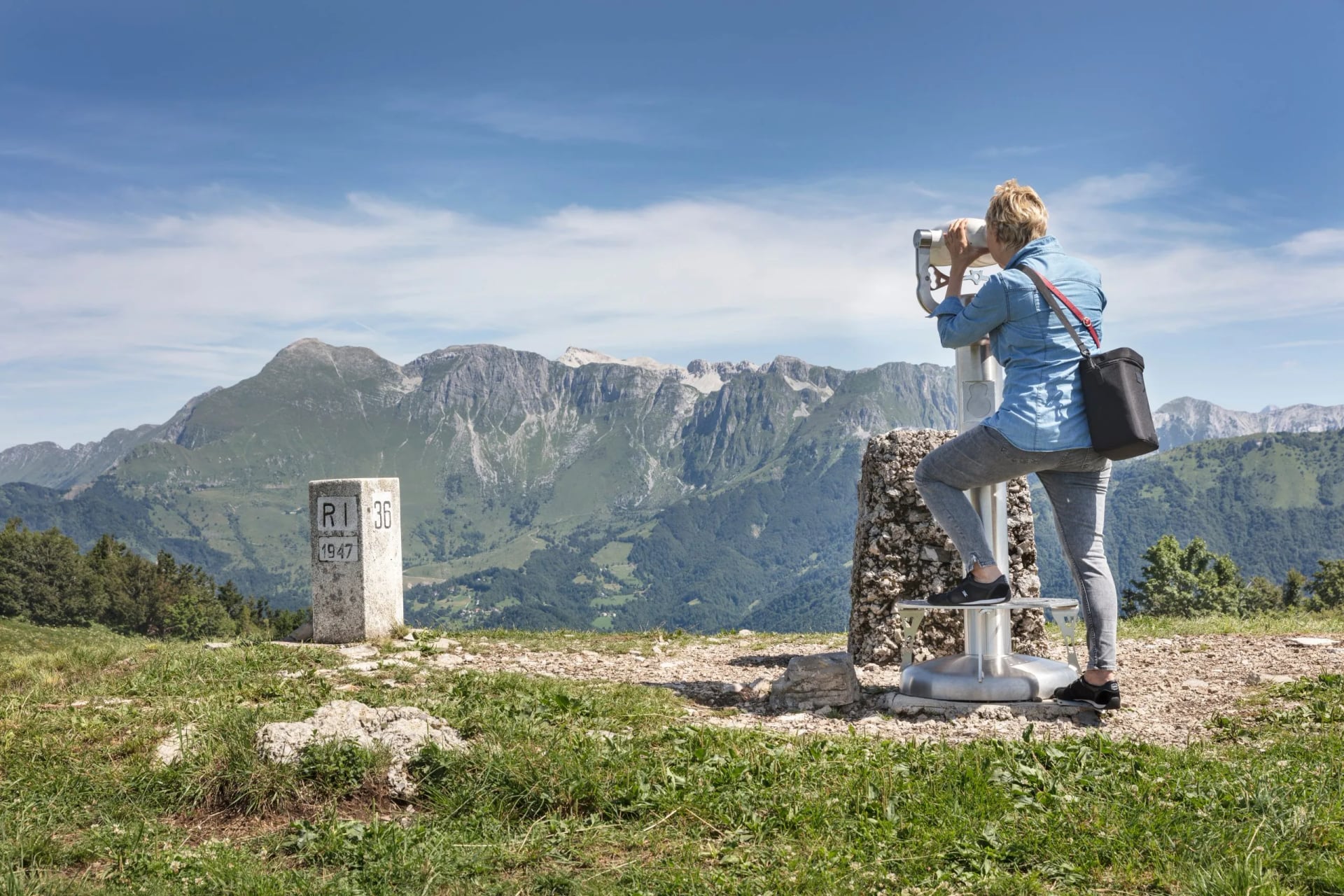
The gentle, family-shaped end of the region. Tromeja (Peč, 1,508 m) climbs to the point where Slovenia, Italy and Austria physically meet. The Planica valley trails stay low and flat.
Vrata and Krma valley side
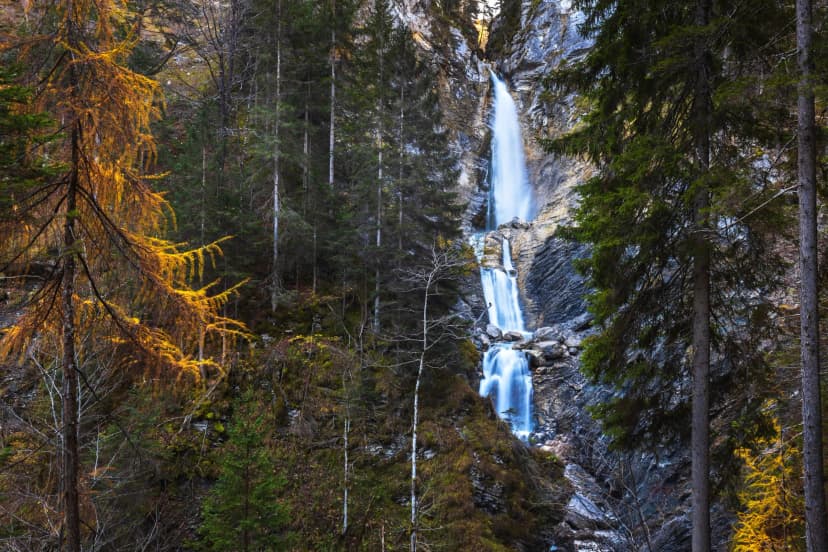
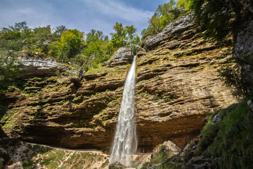
The Triglav approach. If you're going for the summit from the north, this is where you start — Peričnik falls for a short warm-up day, then the long climb up Vrata to the Kredarica hut and the top.
The gentler lakes-and-valleys week strings several of these walks together at an easier daily pace, with accommodation and transfers already booked:
How Hard Is It, Really
The fitness gap between what these trails look like online and what they feel like at 1,900 meters catches people out. A few honest calibrations.
"Easy" in Slovenia usually means moderate elsewhere
Slemenova Špica shows up as "easy" on some guides and "hard" on others — both are defensible depending on your baseline. If your reference is a European rambling holiday on graded paths, expect to work harder than the numbers suggest: the trails here are rougher, the grades steeper, and the altitude starts to bite above 1,700 m for anyone flying in from sea level.
Family-friendly needs a definition
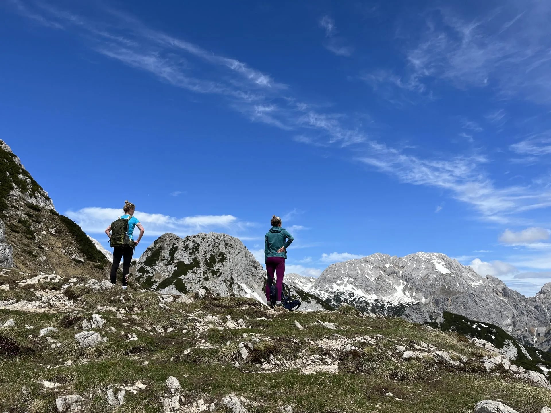
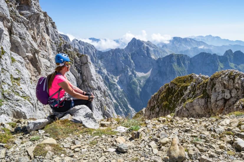
Tromeja, the Planica valley walks, Lake Jasna, Peričnik falls and the lower Martuljek trail are all workable with schoolchildren. Ciprnik is fine with teenagers used to walking. Slemenova is workable with confident older kids but has a scree section on the final approach that shakes some hikers. Anything on the Prisojnik or Mala Mojstrovka side is adult, experienced, harness territory.
Triglav from Kranjska Gora is a serious undertaking
The north approach via Vrata valley and the Prag route is the classic Slovenian climb — steep, cabled sections, an overnight at Kredarica hut, and about 2,000 vertical meters of gain from the trailhead. Doable in two long days if you're fit, but not a starter alpine hike by any means. A guided tour makes the difference on this one; falling on the north side is a very different problem from falling on Slemenova.
When to Walk
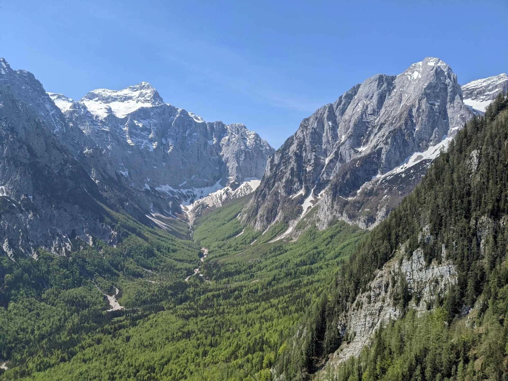
The high-alpine hiking season here is shorter than most people expect. Slovenia is on the southern edge of the Alps, but Kranjska Gora sits in a north-facing valley, and snow lingers on the shaded ridges into early summer.
Late May and early June are the quiet weeks. The valley walks — Lake Jasna, Zelenci, Planica, the lower Martuljek trail — are all open and empty. Anything above 1,500 meters is a gamble: some years the snow clears by late May, others there's a meter still sitting on Slemenova into mid-June. Hut season hasn't started yet, so multi-day routes aren't on the table.
Late June through August is when everything is open. The free Vršič bus runs twenty times a day, all the huts are staffed, the Vitranc chairlift operates, and the high routes are clear. This is also the busiest window of the year. Start hikes at seven in the morning if you want the ridges to yourself. Afternoon thunderstorms are common, and a real weather app plus a firm turn-around time are non-negotiable above the treeline.
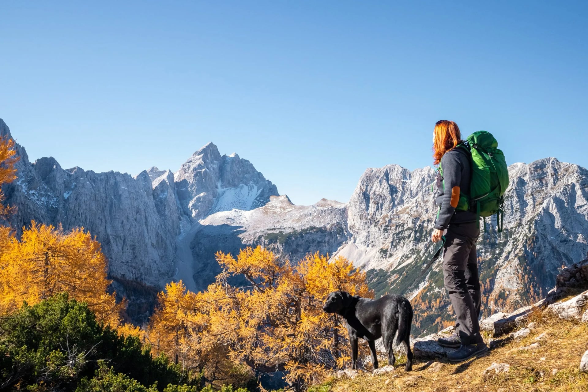
The pick of the year. Huts stay open until late September, the light softens, larches turn gold on the Vršič ridges, and half the summer's hikers are back at work. Snow on high routes is rare before the last week of the month. Book huts a fortnight ahead if you're going hut-to-hut; walk-in space is fine on day hikes.
By the second week of October the high huts close, the Vršič road often closes to vehicles for winter, and above 1,800 m becomes a snow-covered environment that needs winter kit. Valley walks stay open all winter. If you want to hike in October, plan around low-elevation trails and the golden larches around Lake Jasna.
For trail closures, warnings or quiet zones, TNP current conditions page is worth ten minutes before you go so you know which zones are active for your dates.
Being a Good Guest
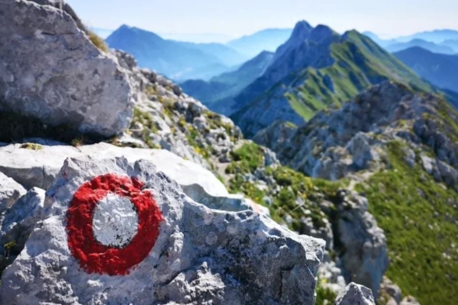
Most of what you'll walk from Kranjska Gora sits inside Triglav National Park, which means the landscape you came to enjoy is a protected area. TNP's own code of conduct opens with a single line worth remembering: you are a guest here.
It also includes laws and regulations that may differ from the countries you know:
Wild camping and sleeping outside designated areas aren't permitted; the hut network is abundant.
Flying a drone needs TNP's prior consent; if you wish to fly it, be prepared to file the paperwork.
Swimming in high mountain bodies of water is forbidden; they are ice-cold regardless.
The rest is common sense translated into specifics — stay on marked trails, take all your waste back down with you, light no fires outside designated fireplaces, and keep dogs on a leash, especially near livestock in the high pastures.
If you book with us, our route notes flag anything specific to each stage — the enforcement rangers are patient, but the fines aren't small.
Getting There
Three airports work for Kranjska Gora.
Ljubljana Jože Pučnik — roughly 90 km away, an hour and a half by shuttle or rental car.
Klagenfurt in Austria is closer at 60 km and often has cheaper flights from northern Europe.
Trieste in Italy sits about 170 km south, useful if you're combining Slovenia with the Italian Dolomites in one trip.
From Ljubljana, public buses run to Kranjska Gora daily, roughly every two hours, taking two hours end to end. Once you're in Kranjska Gora, the free Vršič bus, the Vitranc chairlift and short village walks cover most day hikes — a rental car earns its keep only if you're doing Vrata valley or day-tripping to Bled and Bohinj.
Ready to Walk the Julian Alps?
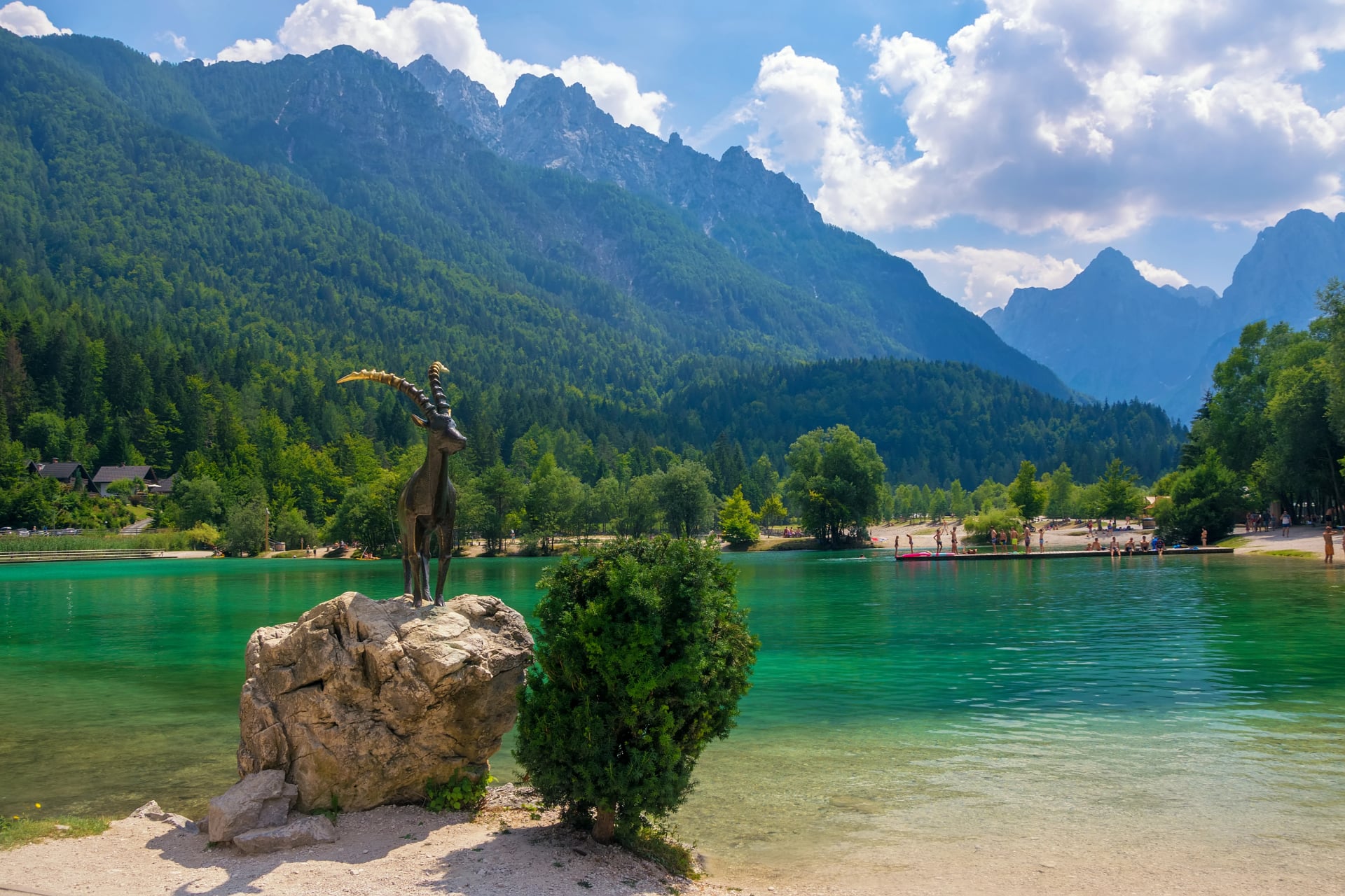
Kranjska Gora rewards a week rather than a weekend. Two easy warm-up days on the Vitranc side, two solid days at Vršič, a rest day at Lake Jasna, a Tromeja circuit and a waterfall day is the shape most first-time visitors settle into. If Triglav is on the list, add three more days.
Our full hiking tour range for Slovenia covers Kranjska Gora, the Julian Alps, the Soča valley, the Slovenian Mountain Trail and more. We plan and book the whole week — accommodation, transfers, digital route notes, GPS files, and support if the weather turns while you're on the trail. Feel free to send an inquiry to get help setting up your vacation.
Frequently Asked Questions

About this author
Jon is our travel advisor and an outdoor adventurer who is happiest on the move. While mountain biking is his personal passion, he thrives on crafting hiking adventures for others — planning routes and adding the little touches that turn a trip into a core memory.















.jpg&w=828&q=75)














































.jpg&w=828&q=75)























