The Ötztal Trek: Tyrol's High-Alpine Long-Distance Trail
The Ötztal Trek is 400 kilometres and 22 stages around Tyrol's most glaciated valley, with 30,000 metres of climbing and most of it graded black.

Jon
Published August 10, 2026
Edited October 15, 2026
15 min read
Quick links
Don't want to read all this?
We've planned 2,000+ hiking trips. Send your dates, fitness and group size — we'll map the route and book every night.



The Ötztal Trek climbs higher and stays higher for longer than almost any other long-distance trail in the Austrian Alps. Over 400 kilometres and 22 stages, it circles the Ötztal valley through glacier terrain, past 3,000-metre peaks, and from hut to hut across some of North Tyrol's wildest ground.
This is not a trail you wander into casually. Most of it is rated black on the Tyrolean trail system, meaning it's built for hikers who already have mountain experience behind them.
This guide covers what the full Ötztal Trek actually involves: the route, the difficulty, the huts, when to go, and how to get there. If you're still weighing the Ötztal against Austria's other ranges, our ultimate guide to hut-to-hut hiking in Austria sets out how they compare, and our Innsbruck guide covers the trails 40 minutes down the line.
What Is the Ötztal Trek?
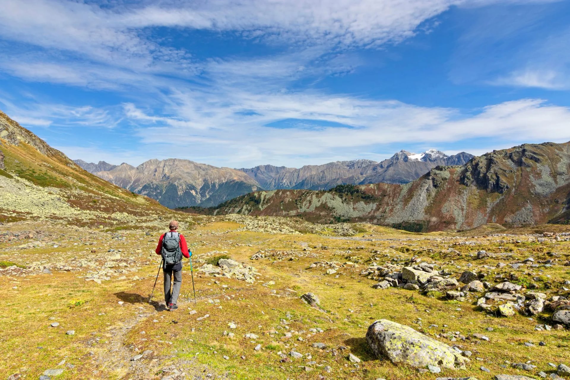
The Ötztal Trek is a circular high-alpine long-distance trail in the Ötztal Alps, Tyrol's most heavily glaciated hiking region. It's split into six route sections made up of 22 stages and 15 optional variations, covering roughly 400 kilometres and around 30,000 metres of cumulative ascent.
Walking the whole thing end to end isn't really how most people approach it. Given the length and the demands of the terrain, the trail is designed to be split up, and the typical way to hike the Ötztal Trek is to pick one of the six sections and treat it as a standalone multi-day trip.
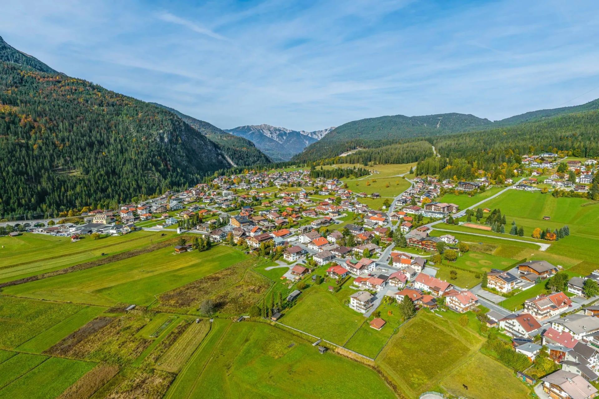
The trail begins and ends at Ötztal-Bahnhof, the valley's main train station. From there, it runs east from hut to hut, over saddles, ridges and peaks, as far as Obergurgl and Vent at the head of the valley. It then turns back west along the Geigenkamm ridge to return to its starting point.
It's worth being clear on one point of confusion: the Ötztal Trek is not the same trail as the Ötztaler Urweg, a separate 180-kilometre route through the valley floor and lower villages that's designed for hikers newer to long-distance walking. Both trails run through the Ötztal, and their similar names cause regular mix-ups online, but the Urweg stays low and gentle while the Trek climbs into high-alpine terrain.
Why Walk the Ötztal Trek
There are longer trails in Austria and there are harder single days, but very few routes keep you this high for this long. The trek spends whole stages above 2,700 metres and puts you in huts at 3,174 and 3,277 metres, which is a different experience from a trail that climbs to a pass and drops back to a valley every night. You wake up at altitude and stay there.
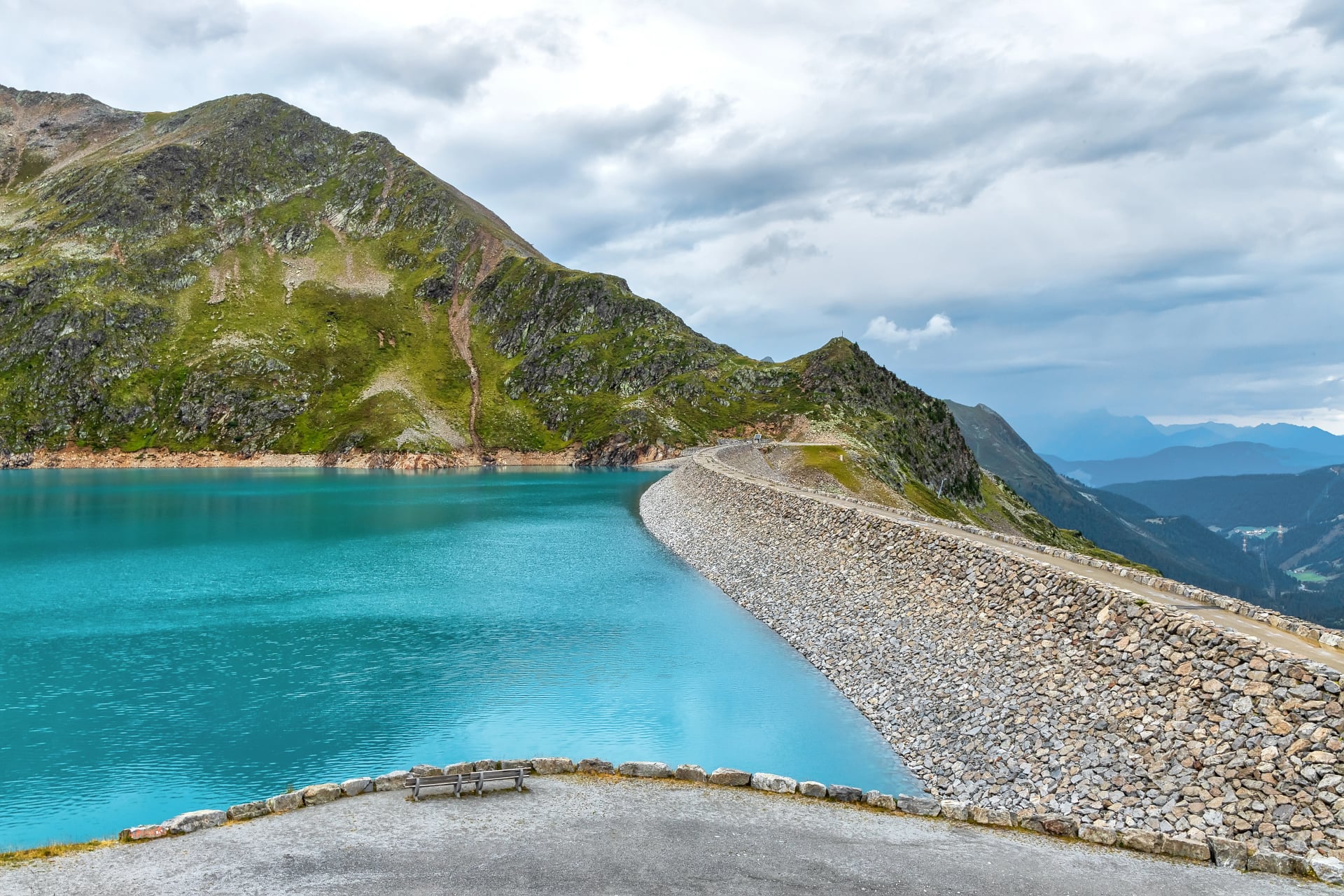
The second reason is the glaciers. The Ötztal Alps carry over 200 of them, more than any other range in North Tyrol, and the middle stages walk among them rather than looking at them from a distance. The Hochjochferner crossing and the approach to the Brandenburger Haus are the kind of ground that usually needs a mountaineering objective to justify, and here they are simply the way from one hut to the next.
The third is that almost nobody is on it. The Ötztal is busy in the valley and at the cable car stations, and empty an hour above them. Compared with the Adlerweg or the Stubai High Trail this is an obscure route, and on the high stages you can walk most of a day without meeting a party going the other way.
The Route, Stage by Stage
The published figures for the trek depend on what you count, and the difference is worth understanding before you plan anything. The 22 core stages measure 246.4 kilometres with 18,910 metres of ascent and about 84 hours of walking, with the high point at 3,482 metres and both ends at Ötztal-Bahnhof at 704 metres. The 400 kilometres and 30,000 metres quoted elsewhere include the 15 optional variants on top of those stages.
Distance: 246.4 km over 22 stages
Ascent: 18,910 m
Walking time: About 84 hours
Stages: 22 in 6 sections, plus 15 variants
High point: 3,482 m
Start and finish: Ötztal-Bahnhof, 704 m
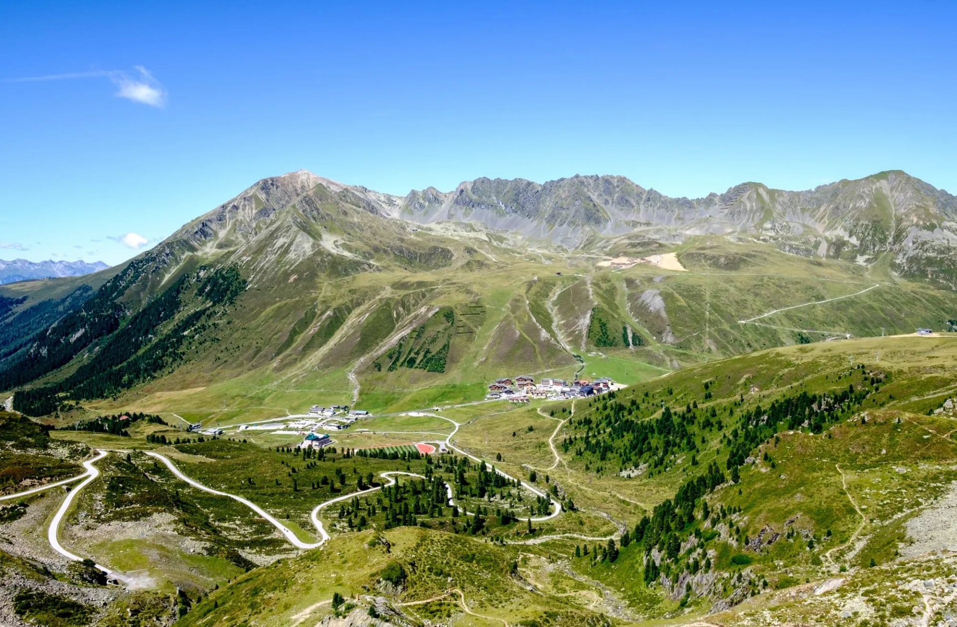
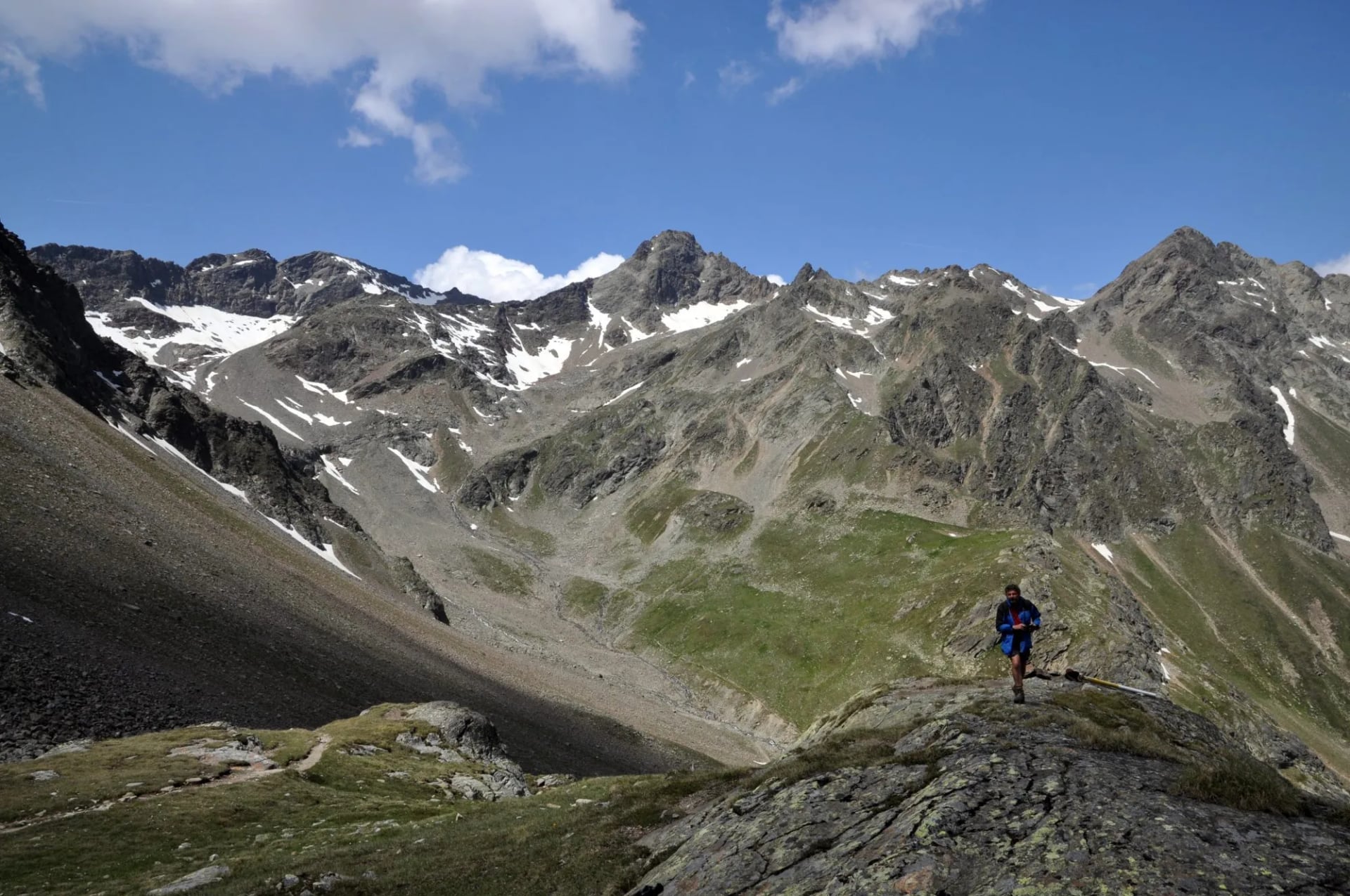
The circuit falls into three natural phases. The opening stages climb east out of the valley to Kühtai and the Sellrain huts, high but glacier-free, and this is the stretch most walkers meet first. The middle stages are the serious ones: from the Amberger Hütte the trail crosses the Wütenkarsattel at 3,103 metres and spends days above 2,700 metres, taking in the Hochstubaihütte, the Ramoljoch at 3,189 metres and the glacier crossings around the Hochjochferner and the Brandenburger Haus. The closing stages turn back west along the Geigenkamm, lower but long, and drop 1,800 metres on the final day.
One practical quirk of the official route: stage nine finishes at the Timmelsjoch and stage ten begins at Obergurgl, so there is a transfer between them rather than a continuous line on foot. Anyone stringing sections together needs to plan that gap rather than discover it.
The 22 stages the Ötztal tourist board publishes fall into those three phases:
Phase | Stages | Huts | Highest point |
|---|---|---|---|
Opening: east to Kühtai and the Sellrain | 1 to 4 | Dortmunder, Schweinfurter, Winnebachsee and Amberger huts | no glacier; the highest night is 2,361 m |
Middle: the high glacier stages | 5 to 17 | Hochstubaihütte to Braunschweiger Hütte; the highest night is the Brandenburger Haus at 3,277 m | Oberes Guslarjoch, 3,361 m |
Closing: back west along the Geigenkamm | 18 to 22 | Rüsselsheimer, Hauersee, Frischmann and Erlanger huts | Fundusfeiler, 3,079 m, then 1,800 m down on the last day |
How Difficult Is the Ötztal Trek?
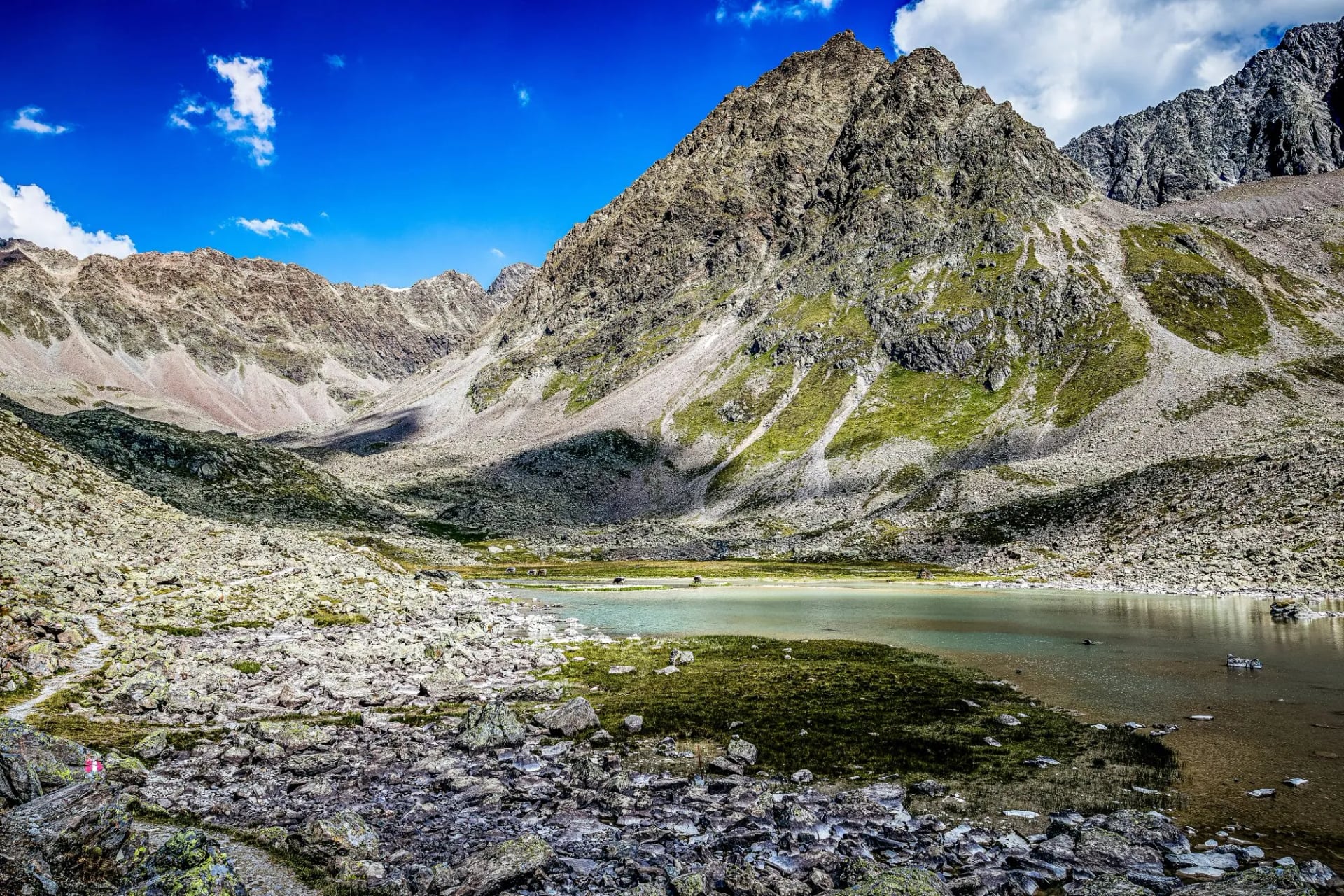
This isn't a beginner's trail. Most stages are marked black under the Tyrolean Hiking and Mountain Trail Concept, meaning they're classed as difficult, with the remainder marked red for intermediate difficulty.
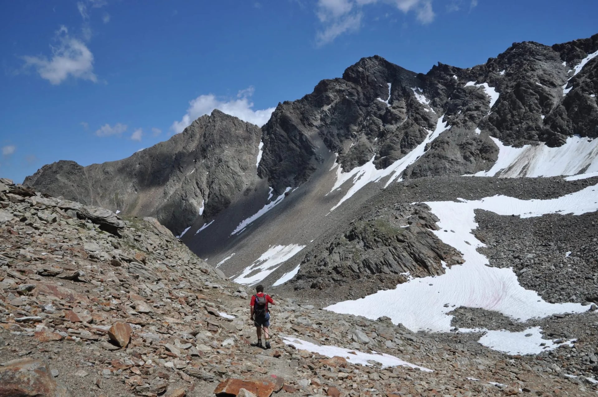
Expect steep, sustained climbs on rock and scree, sections requiring sure-footedness on exposed ridgelines, and at least some glacier travel depending on which stages you walk. Official sites are direct about the requirements: good physical condition, mountain experience, and appropriate high-alpine equipment. Some stages call for crampons or a rope depending on conditions.
That said, difficulty varies noticeably by section. The stages nearer Ötztal-Bahnhof and around Kühtai are demanding but glacier-free, while the eastern stages toward Vent and the Stubai side involve the trail's most serious terrain. Walking a single section, rather than the full circuit, is a reasonable way to match the trail to your own experience level.
The glacier stages are the part to take seriously. Several of the middle stages cross glaciated terrain where the waymarking thins out or disappears, and the official route information recommends high-alpine experience, a rope and crampons for them. If you do not have that, the sensible options are to take a guide for those stages or to walk one of the lower sections instead. This is not a trail where enthusiasm substitutes for technique.
Weather is the other half of it. Afternoon storms build through the summer and there is no shelter on a ridge at 3,000 metres, so hut days start early and finish early. Check a mountain forecast rather than a general Tyrol one, and treat the hut warden's read on the next day's conditions as better information than anything on your phone.
Huts and Booking
There is no camping option worth planning around on this trail and no valley to drop into on most nights, so the huts are the route. Almost all of them belong to the Austrian or German Alpine Club, and they run on the same terms as every other alpine club hut: half board, a fixed dinner time, blankets and pillows provided, and a hut sleeping bag liner that is compulsory in every bed.
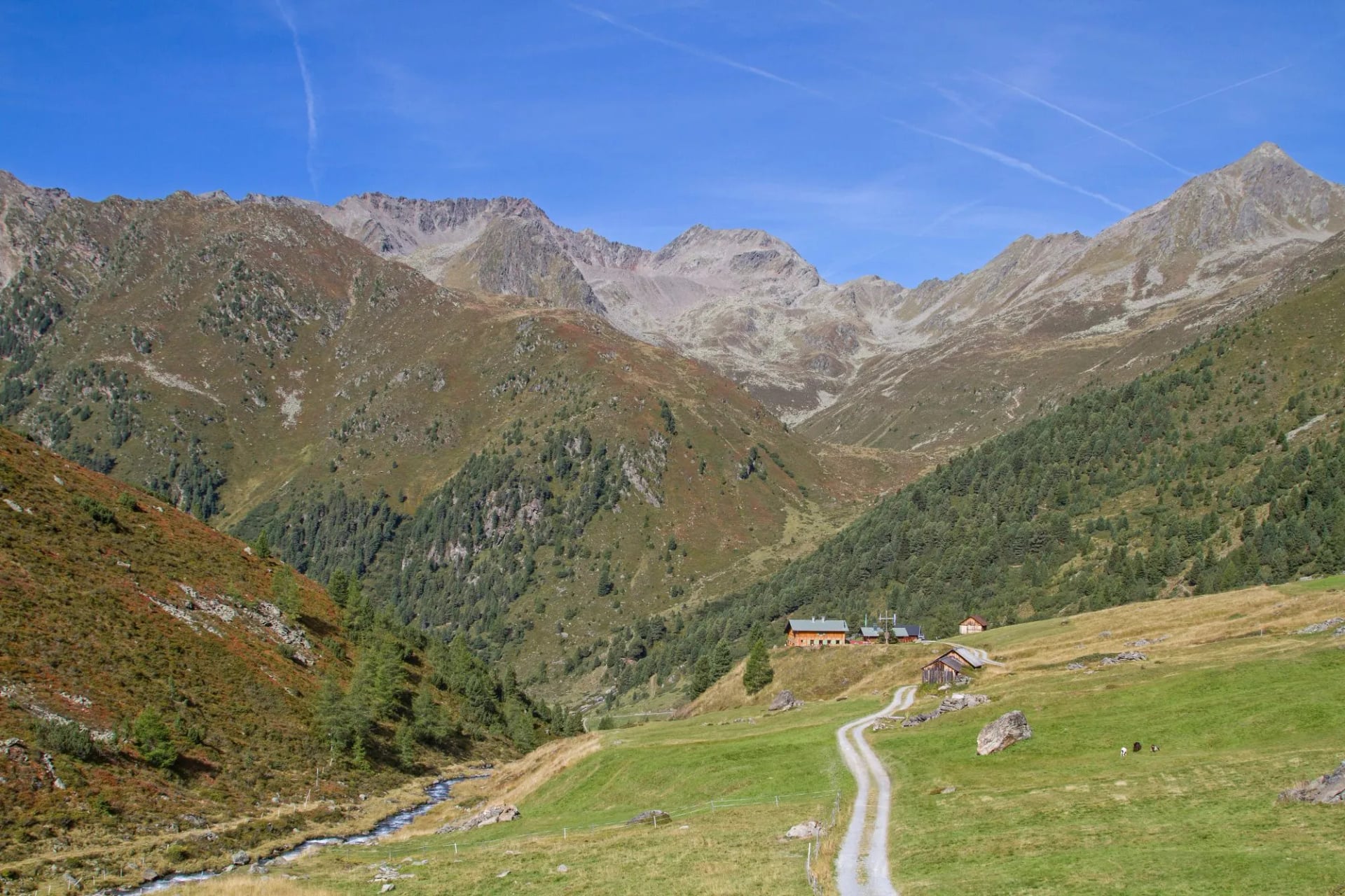
Two of them are remarkable in their own right: the Hochstubaihütte at 3,174 metres and the Brandenburger Haus at 3,277 metres, which is among the highest huts in the Eastern Alps. Sleeping at that altitude is part of what the trek is for, and it is also why acclimatisation matters on the middle sections.
Book early and book all of them before you leave. Several huts on the high middle stages have small bed counts and no alternative within a day's walk, which is a different situation from a valley trail where a full hut means a longer afternoon. Members of the Austrian or German alpine clubs pay a reduced rate and get priority on beds, and reciprocal agreements extend that to members of several other alpine associations.
Take cash. Most huts at this altitude either do not accept cards or cannot rely on the connection to process them, and there is no cash machine between Ötztal-Bahnhof and Obergurgl. Budget for the whole trip in notes before you start walking.
Food, Water and Resupply
Resupply on the Ötztal Trek means the huts and very little else. The high stages pass no shops and no villages, so dinner and breakfast come from the hut and lunch is either a packed one bought from the hut the night before or what you carried in. Most huts will make up a lunch if you ask at dinner rather than at breakfast.

Hut food is closer to fuel than cuisine and none the worse for it: soups, dumplings, Kaiserschmarrn and baked noodle dishes, served at a set time to everyone at once. Vegetarians are catered for almost everywhere, but anything more specific than that is worth flagging when you book rather than on the night.
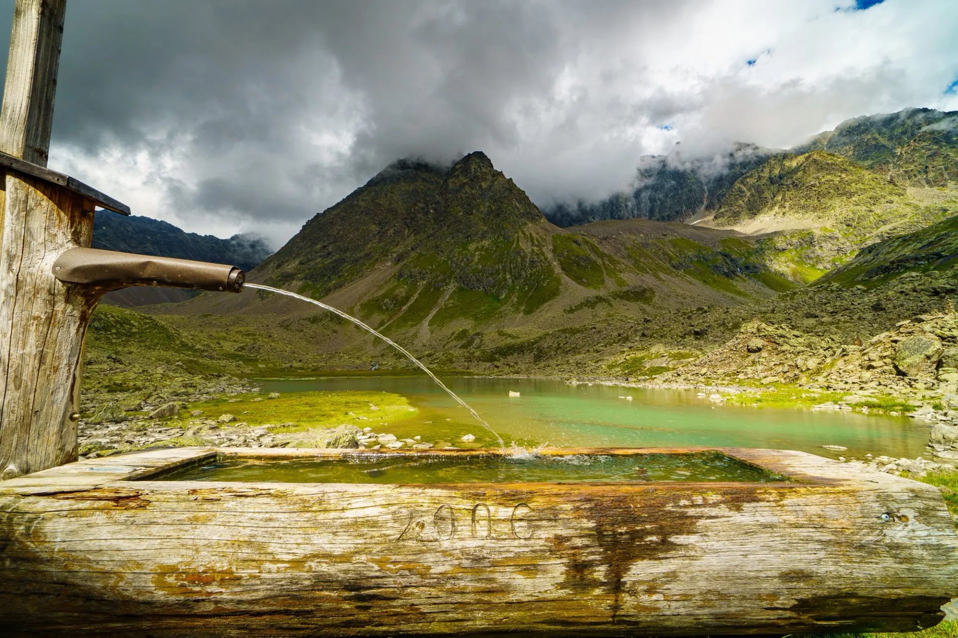
Water is the easier half. Spring-fed troughs and running streams are common at this altitude and the water is generally safe above the grazing line, but the glacier stages run over rock and ice for hours at a stretch with nothing flowing. Two litres is the working minimum on those days and three is not excessive in August.
Navigation
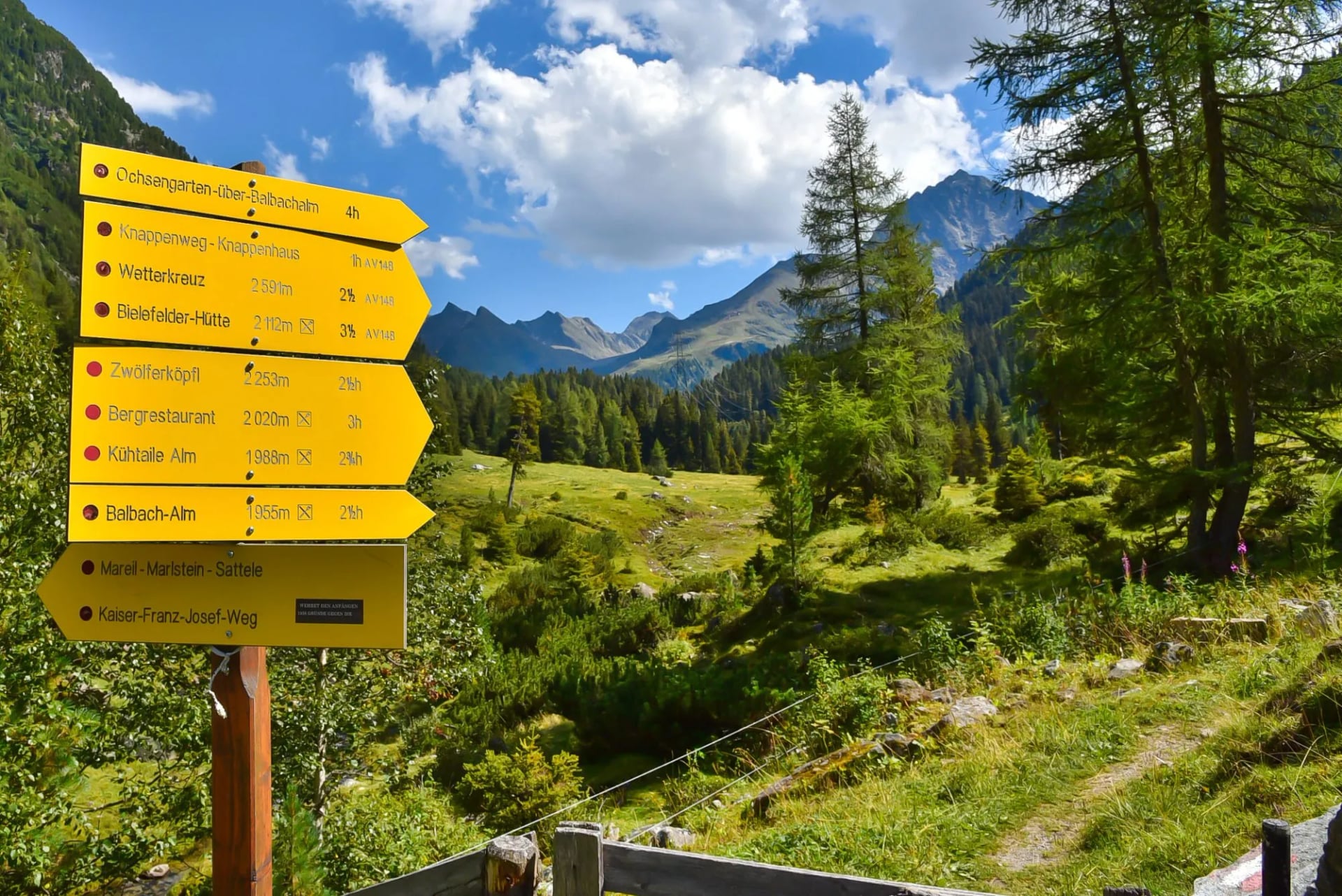
Austrian waymarking is consistent and worth reading properly. Trails carry a number and a colour band painted on rock: blue for easy, red for moderate and black for difficult. Most of the Ötztal Trek is black, and on this trail black means secured sections, exposed ridge, or ground where a slip has consequences rather than merely being steep.
What to Pack
A 35 to 40 litre pack covers the whole trek, because the huts remove the need for a tent, a stove or a sleeping bag.
On your feet. Boots with ankle support and a sole that holds on wet rock, plus poles for the long descents. Black-graded ground is not trail-shoe terrain.
Layers. A waterproof shell and a warm midlayer for the passes. The trail holds its height rather than dropping into a valley each night, so you take whatever the afternoon brings.
A warm jacket, even in August. This is the one people leave behind and regret. You sleep at 3,277 metres at the Brandenburger Haus, among the highest huts in the Eastern Alps, and at 3,174 metres at the Hochstubaihütte.
Sun protection. Sunglasses, sun cream and a cap. Snow and bare rock throw the glare back at you on the high stages.
Hut kit. A sleeping bag liner, compulsory in every bed, plus indoor shoes, earplugs for a shared dormitory, a small towel and a head torch for the early starts.
Water and food. Two litres of capacity. Half board covers dinner and breakfast, so what you carry is the day's food rather than a stove and pans.
Glacier days. Rope, harness and crampons for the middle stages. The Brandenburger Haus is reached across glacier, and those days belong to experienced parties or a guided group, not to a well-equipped walker.
Admin. Enough cash for the whole trip, because most huts at this altitude do not take cards, and there is no cash machine between Ötztal-Bahnhof and Obergurgl. Alpine club membership brings a reduced rate and priority on beds.
Getting to the Ötztal
Ötztal-Bahnhof, the trail's start and finish point, sits on the main Innsbruck to Bregenz railway line, making it one of the more straightforward high-alpine trailheads to reach by public transport.
Regular trains connect it directly to Innsbruck in around 40 minutes, and Innsbruck itself has international rail and flight connections, making it the natural gateway for most hikers arriving from abroad.
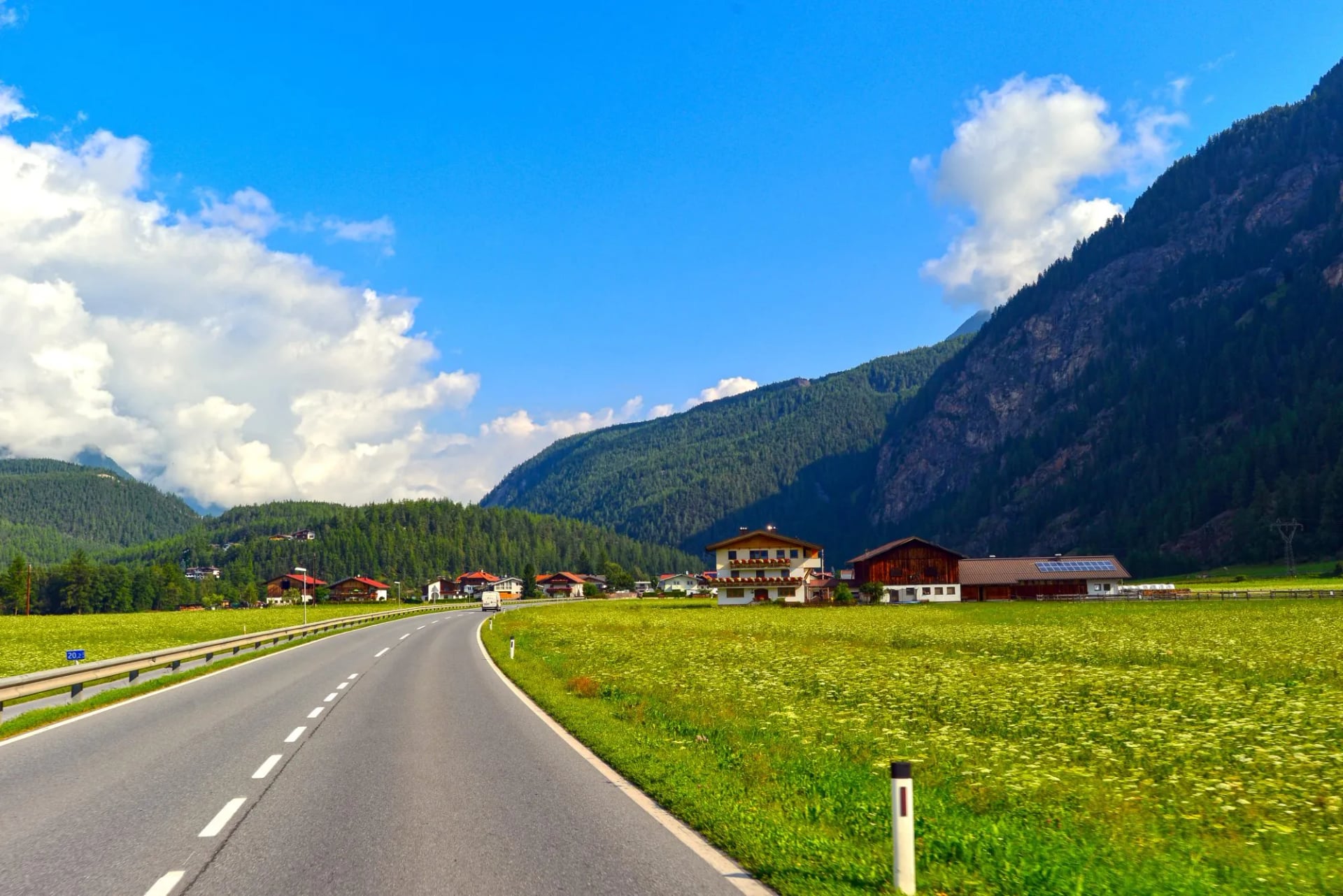
Once you're in the valley, the local VVT (Verkehrsverbund Tirol) bus network covers the villages and trailheads along the route, which matters if you're walking individual sections rather than the full circuit and need to get back to a car or train. It's worth checking bus and rail timetables before you set out, since services can be reduced outside peak summer months.
Best Time to Hike the Ötztal
The Ötztal Trek is walkable roughly from mid-June to late September, and that window is non-negotiable rather than a rough guideline. Huts close for the season once it ends, and several stages run above 2,000 metres, where snow can linger well into early summer depending on the year.
Early season (mid-June) is worth treating with caution. Snowfields can still cover exposed sections, particularly around the higher passes and anywhere the trail nears glaciated terrain, so it's worth checking current conditions with official information sites before committing to an early departure.
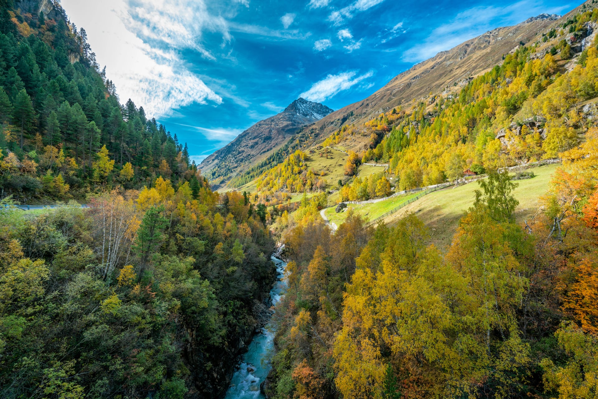
July and August are the most reliable months, with the huts fully open and the glacier sections at their most stable. September brings quieter trails and crisper visibility, though days shorten and the first snow can arrive earlier at altitude than lower down in the valley.
Whatever month you choose, a specialist mountain weather forecast (not just a general Tyrol forecast) is essential, since conditions on exposed ridges and passes can shift quickly regardless of the season. Our guide to the best time to hike in Austria covers how that season shifts across the country's other ranges.
Guided or Self-Guided
The answer here depends more than usual on which stages you pick, because the trail is really two trails. The opening and closing sections, from Ötztal-Bahnhof through Kühtai and the Sellrain huts, are demanding but glacier-free and well waymarked, and a competent hill walker can organise and walk them alone. That is the ground our own trip covers.
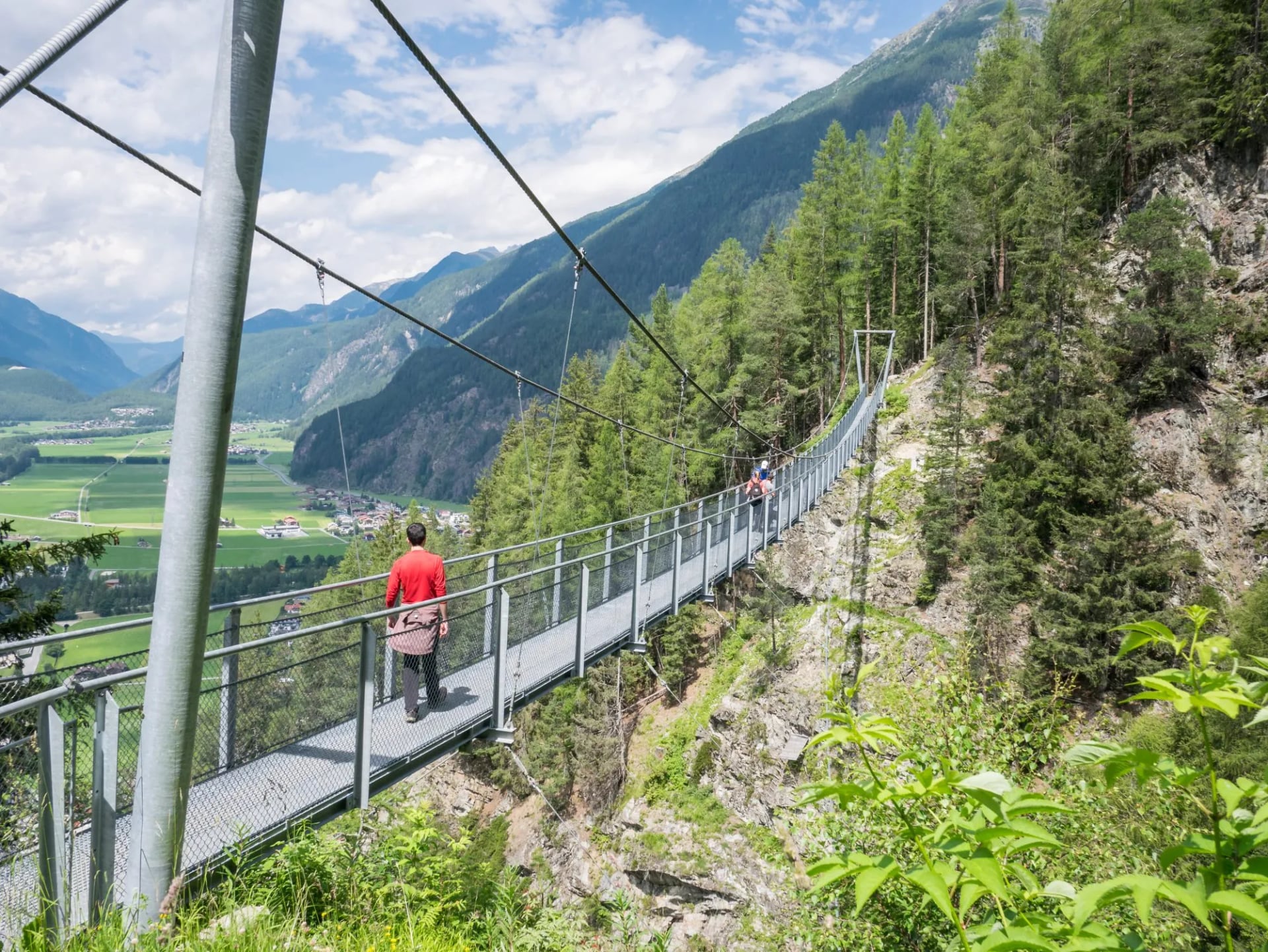
The middle sections are not that. Crossing the Hochjochferner or coming off the Brandenburger Haus is glacier travel, and going unguided there means being equipped and practised for it rather than merely fit. Between the two extremes the real question is not whether you could get through but whether you would enjoy the day.
The other argument for handing it over is the booking. A self-guided section still needs every hut reserved months ahead, in the right order, with the transfer at the Timmelsjoch planned around, and a single unavailable night can unpick the whole chain. That coordination is most of the work on this trail and none of the pleasure.
The Best Way to Tackle the Hike
Most hikers pick one of the six sections rather than the full 400 kilometres. If you're weighing it against Austria's other long-distance routes, our top five treks in Austria is a good place to start.
The Ötztal Trek Highlights is our take on that. It's a six-day self-guided route from Ötztal-Bahnhof through the Dortmunder Hütte and Schweinfurter Hütte, over the Finstertaler Scharte, and on to Winnebachseehütte before finishing in Längenfeld, taking in the Wildspitze views and the high passes that make this trail worth doing. The first walking day is the biggest of the four: 21 kilometres and 1,550 metres of climbing from the station up to the Dortmunder Hütte, with the whole route coming to 52.5 kilometres and 3,360 metres of ascent.
Duration: 6 days self-guided
Walking days: 4
Distance: 52.5 km
Ascent: 3,360 m
High point: Finstertaler Scharte, 2,777 m
Huts: Dortmunder, Schweinfurter and Winnebachsee
Route: Ötztal-Bahnhof to Längenfeld
The huts along the way are where it helps most to have someone else handle the planning. Each one has limited beds, several sit along more than one long-distance trail so they're shared with hikers on other routes too, and in July and August the more accessible ones fill up weeks in advance. We've written separately about the best mountain huts for hiking in Austria if you want a sense of what to expect inside them.
Given the number of huts involved and how far in advance they need booking, we would recommend going with a tour operator rather than planning it entirely yourself.
Frequently Asked Questions
Ready to Hike the Ötztal Trek?
If you're planning a trip to the Ötztal and want to talk through the details, get in touch and we'll be happy to help you plan it!

About this author
Jon is our travel advisor and an outdoor adventurer who is happiest on the move. While mountain biking is his personal passion, he thrives on crafting hiking adventures for others — planning routes and adding the little touches that turn a trip into a core memory.













.jpg&w=828&q=75)













































.jpg&w=828&q=75)






















