Nakasendo Trail: The Ultimate Guide
An Edo highway through sixty-nine post towns, and the reason women were sent this way instead of the coast road.

Jon
Published September 7, 2026
Edited September 8, 2026
11 min read
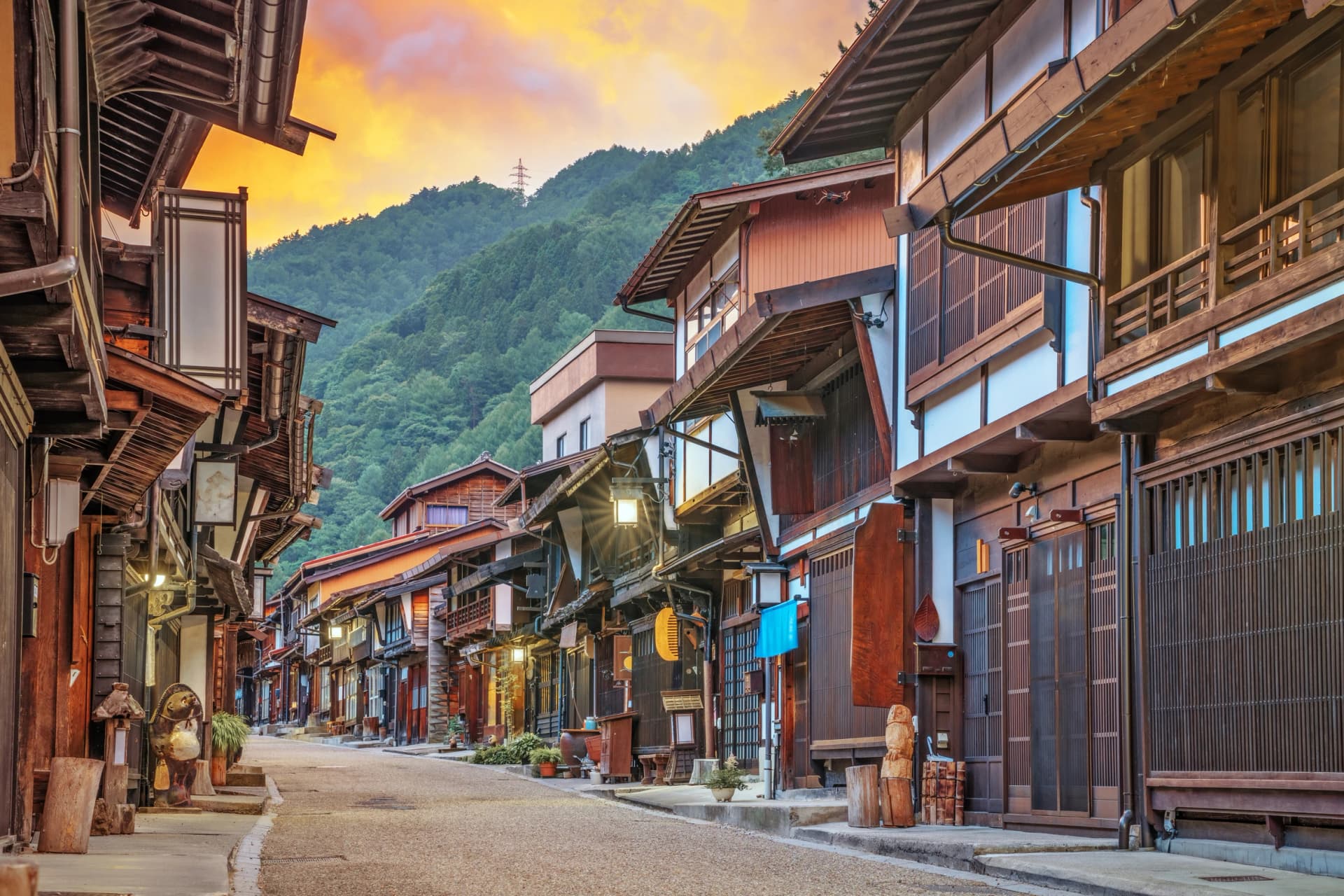
The Nakasendo was one of two great roads linking Edo and Kyoto, and its name means the road through the mountains. It ran 550 kilometres through 69 post towns, and the reason it existed alongside the coastal Tokaido is the sort of detail that makes the walking make sense.
The Tokaido was shorter and busier and it forded large rivers. The Nakasendo crossed no major river, so it was the safer road, and daimyo sent their wives and children inland rather than risk the coast. That is why the mountain route has the better-preserved towns: it carried the traffic that could not afford an accident.
This guide covers which parts are worth walking, how many days it takes, and the two things to arrange before you fly. The wider country sits in our guide to hiking in Japan.
Best Nakasendo trail sections
Very little of the original 550 kilometres survives as walkable path. What does survive is concentrated, and four stretches are worth your time.
Magome to Tsumago
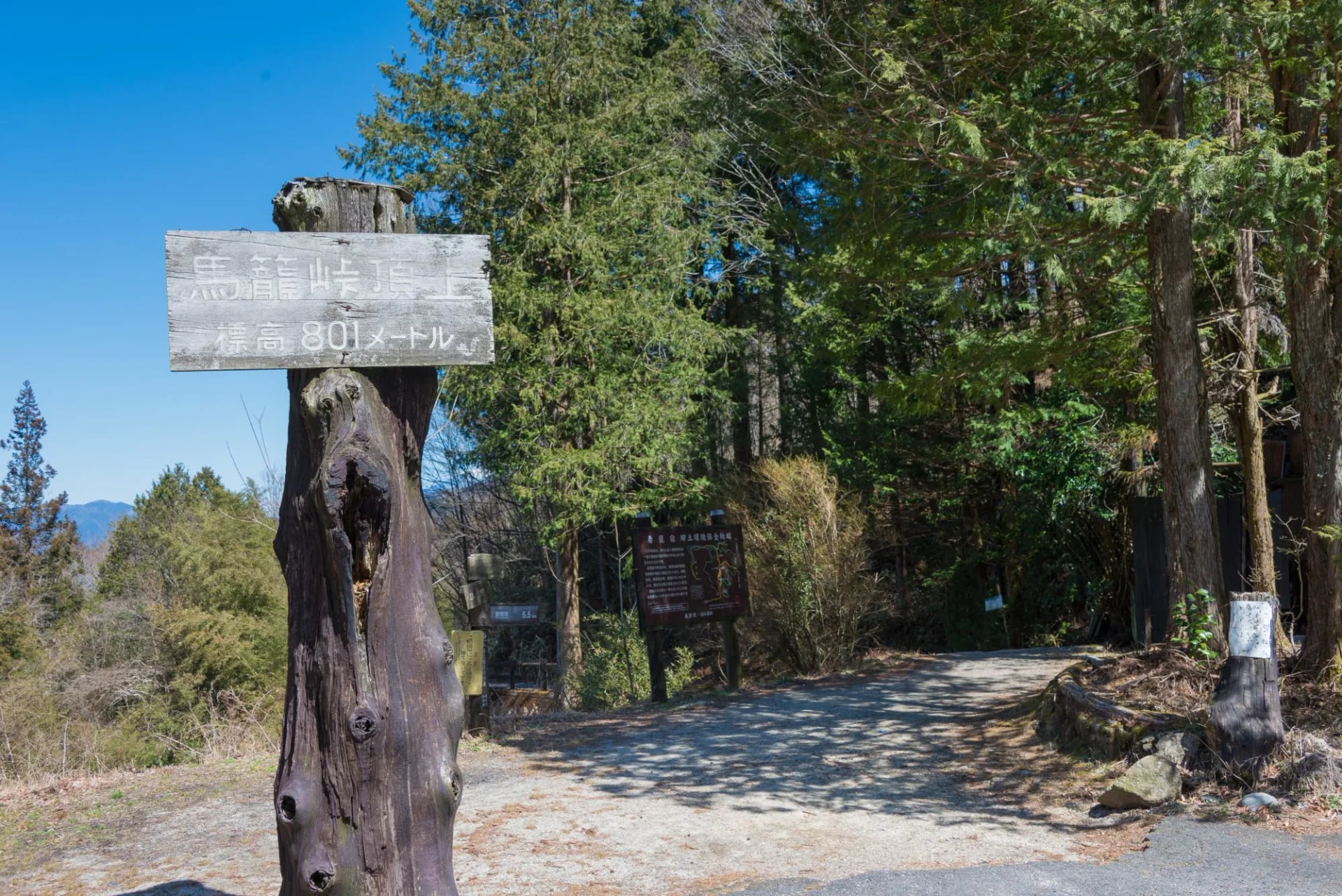
The famous one, and the only part most visitors ever see. Eight kilometres and about three hours, from Magome at 600 metres over the Magome Pass at 801 metres and down to Tsumago at 420 metres, on cobbles and forest track.
It is advised to walk it in that direction.
Halfway across there is a teahouse where an attendant keeps a fire going and pours free tea on donations alone. Stop there rather than pushing through, because it is the only thing on the route that has not been restored for visitors.
Tsumago to Nojiri
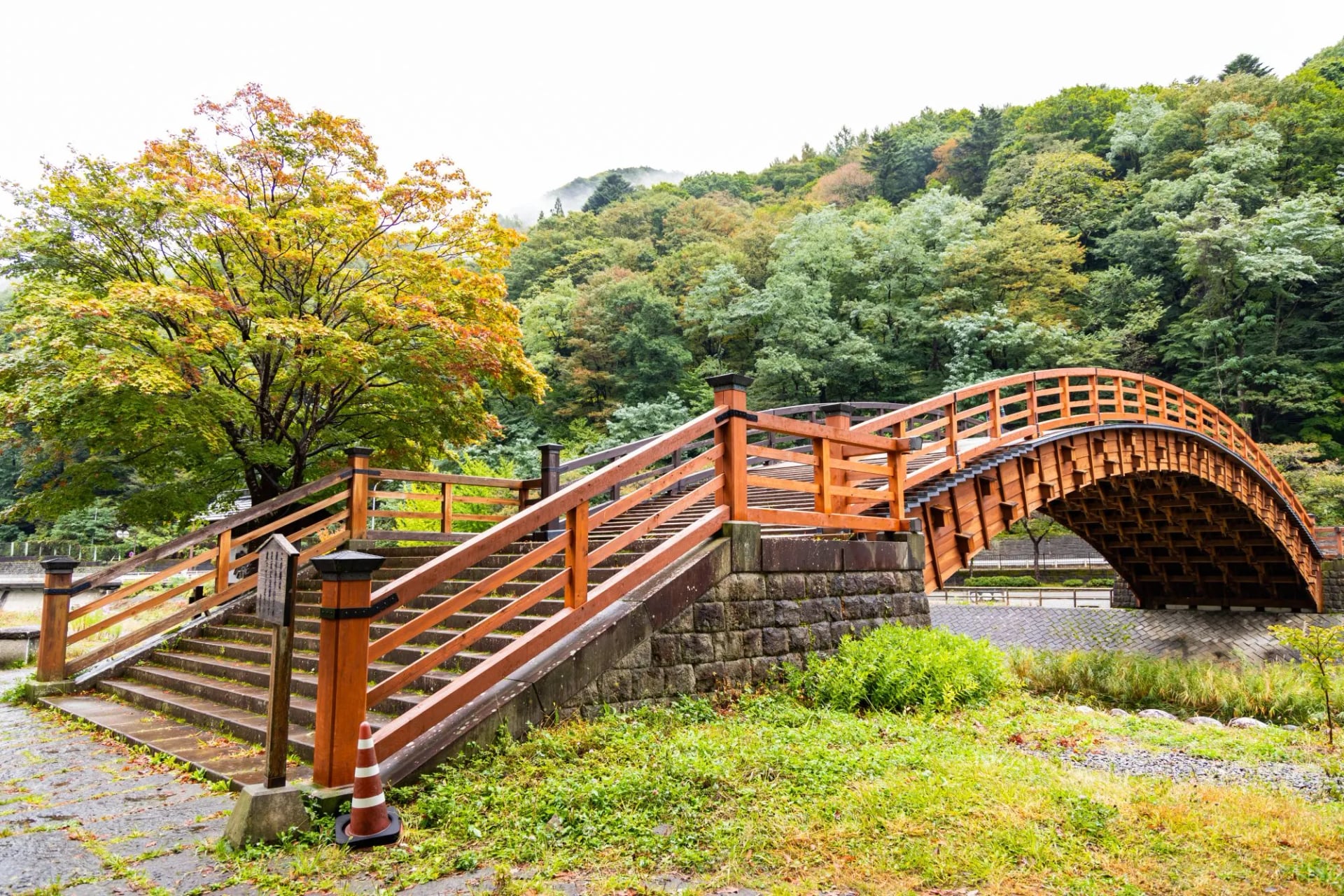
The stretch that separates walkers from day-trippers. It continues down the valley through the hamlet of O-Tsumago and over the Kiso-no-Ohashi bridge, and the coach parties never reach it.
If you only want a taste, the shorter option is Tsumago down to Nagiso station, 3.5 kilometres and about an hour, which is also how you leave if you are not walking on.
What changes past Tsumago is the ratio of visitors to residents. The path drops onto lanes between fields and worked forest, the buildings stop being exhibits, and you start meeting people who live here rather than people photographing it.
Narai and the Torii Pass
The stretch to plan a trip around. Narai was the richest post town on the Nakasendo, known as Narai of a Thousand Houses, and it is a longer preserved street than Tsumago with a fraction of the visitors.
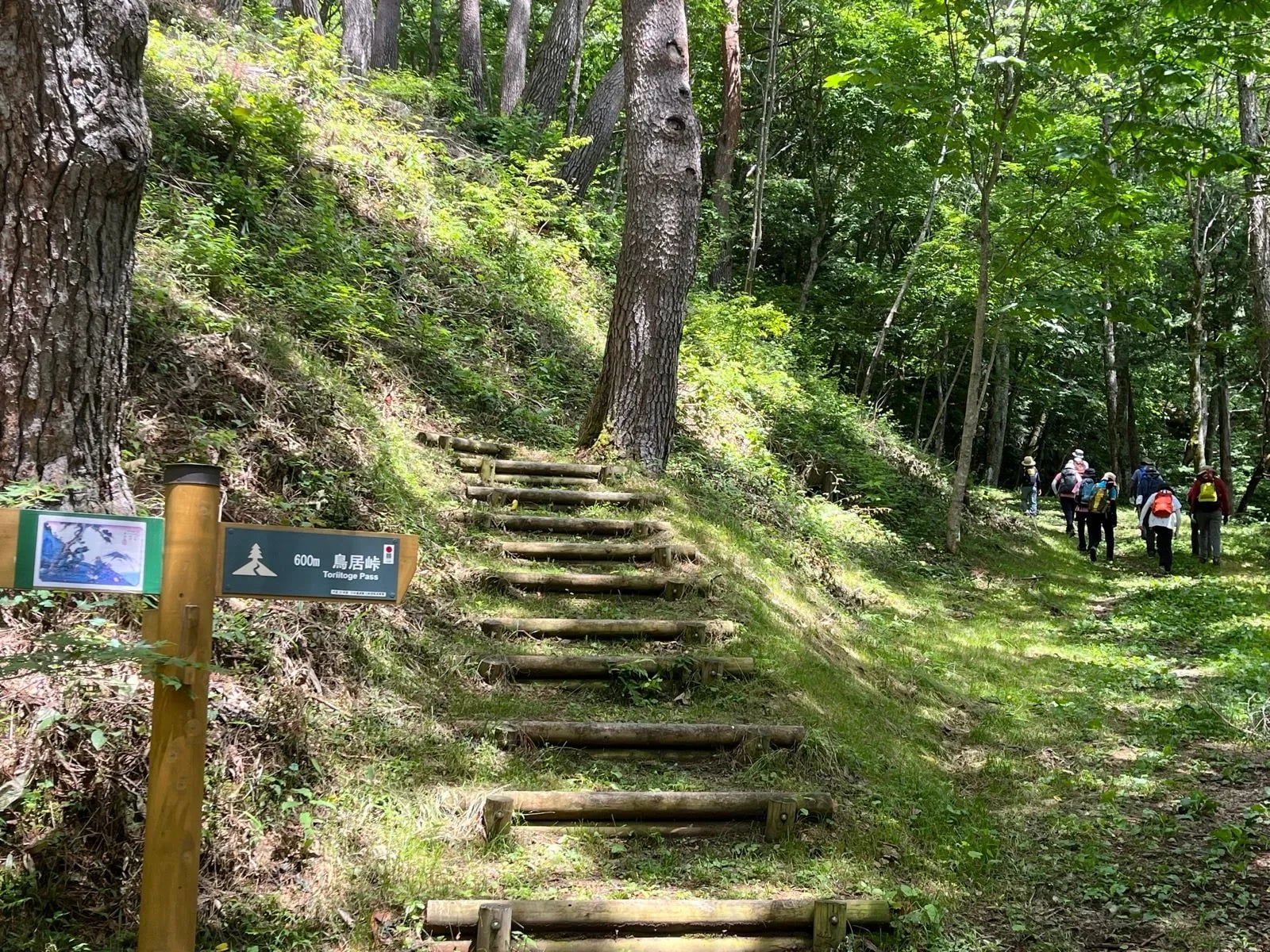
It sits at the foot of the Torii Pass, the highest ground on the Kiso section, and the climb over it from Yabuhara is the closest the Nakasendo trail gets to a mountain day. This is the stage people miss.
Narai also earned its money differently. It stood at the hard end of the pass, so travellers arrived needing a bed whether they wanted one or not, and the town charged accordingly for two centuries.
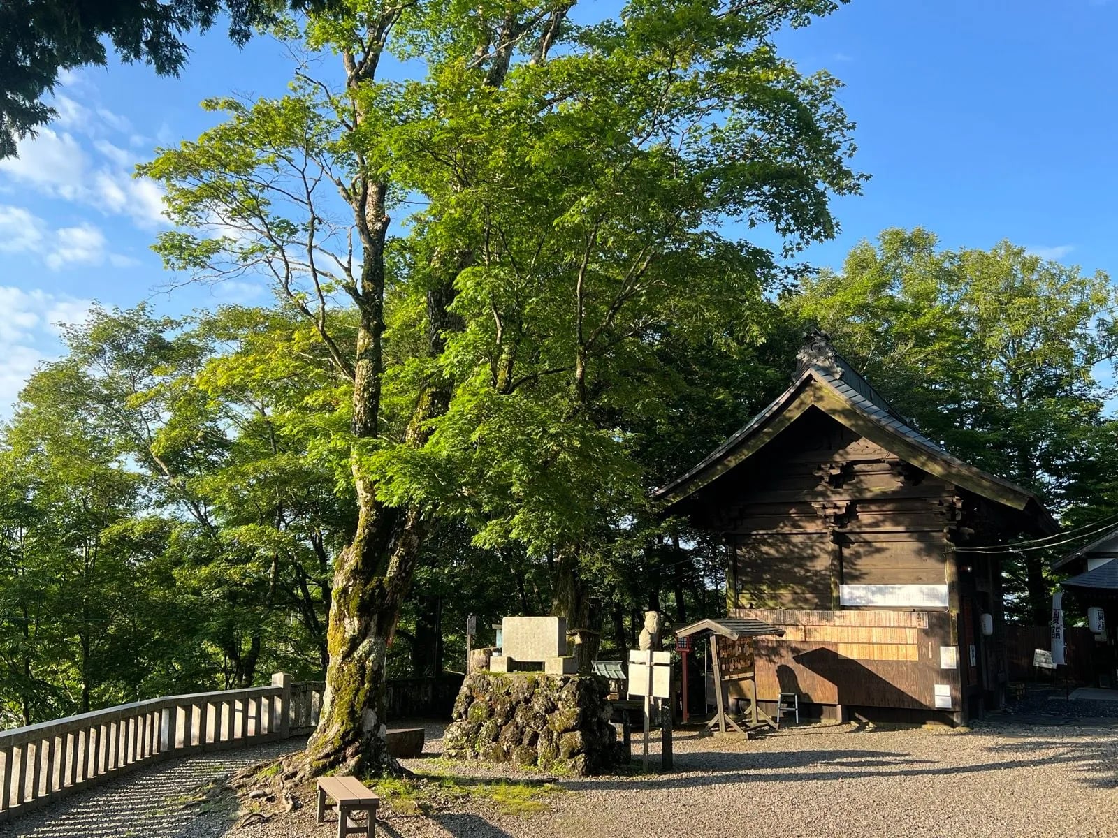
The Usui Pass
Far to the east, between Karuizawa and Yokokawa, and the last real climb before the road ran down into the Kanto plain. It is walked far less than the Kiso sections and it is the one that best explains why this road took two weeks rather than a long weekend.
It also reads differently from the Kiso towns. There is no preserved street to arrive at, just the old paving, the pass and the shrine at the top, so the interest is the road itself and not what was built beside it.
How long you need
One day gets you Magome to Tsumago and nothing else. A single-day Nakasendo hike is a good day out and it is not a trip, and it is why so many people come home calling the road overrated.
Two or three days is the honest minimum. Magome to Tsumago, on down the valley to Nojiri, and over the Torii Pass into Narai. That covers the preserved core and puts you in a village inn every night.
Three is better than two for one reason. It gives you an evening in Tsumago after the day visitors have gone, which is when the street stops being a photograph and starts being a village.
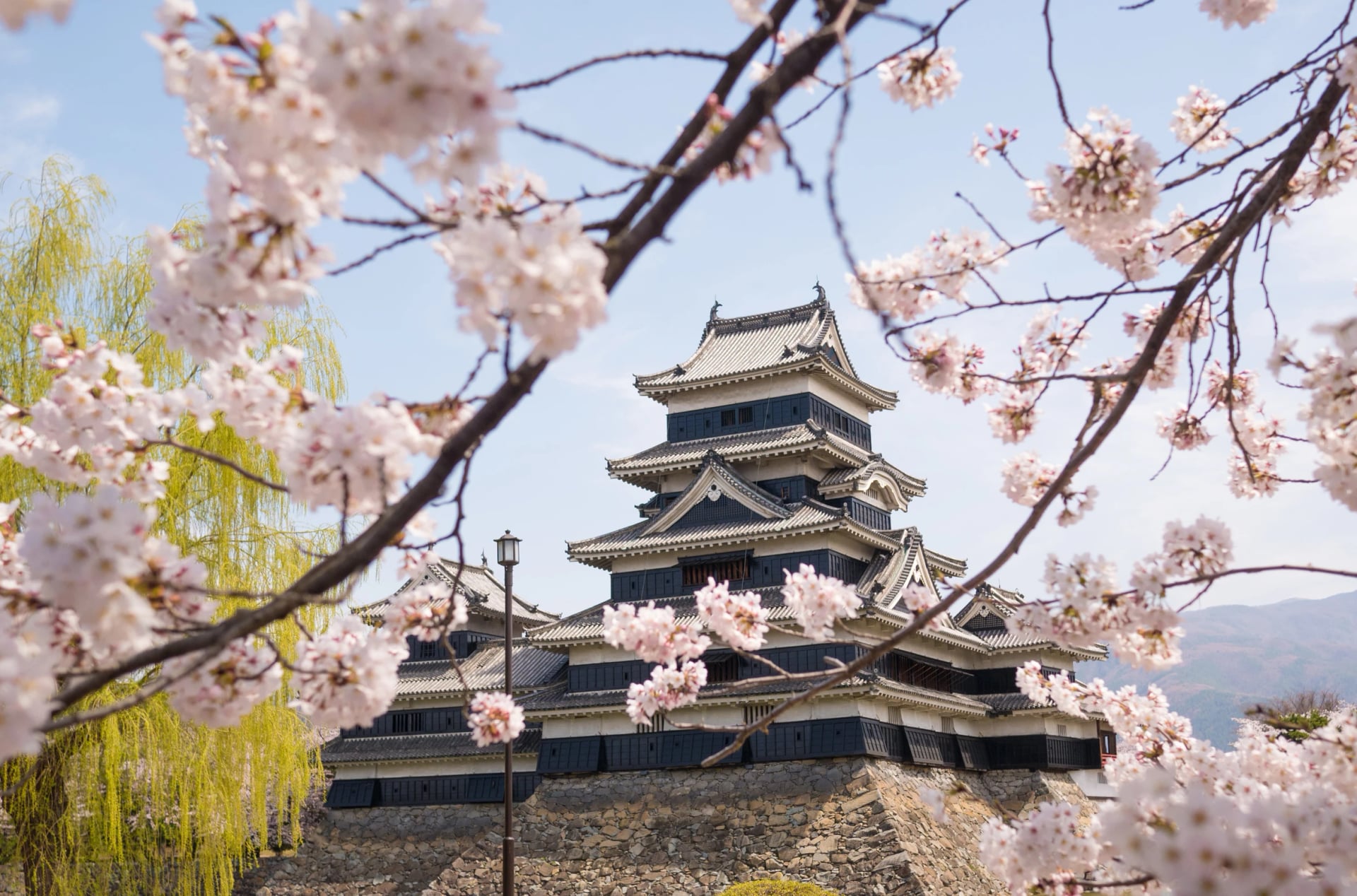
A week is the version worth flying for. Any Nakasendo itinerary of that length links the Kiso towns to Matsumoto and its castle and then out over the Usui Pass, so the road gains a beginning and an end instead of being a scenic afternoon.
When to go
April to November. The route is low, so the season is long, and the two ends of it are the good ones. Blossom comes to the valley in mid-April and the colour arrives in late October and holds into November.
October is the pick. The humidity has broken, the light is low in a valley that runs mostly north to south, and the day-trip crowds thin out once the Japanese holiday season ends.
Avoid August. It is hot, wet and busy, and it carries the year's highest typhoon risk. Winter is not dangerous but the pass ices and most of the inns close, which removes the point of an inn-to-inn walk.
Our Nakasendo trek
Distance: 6 to 12 miles a day
Ascent: 1,050 to 2,395 feet a day
Grade: fitness 3 of 5, technical 2 of 5
Sleeping: six nights in comfort hotels and inns with breakfast, luggage transferred
Season: April to November
Seven days from Kyoto to Tokyo, which is the direction the road was built to be walked. The bags go ahead by road, the route notes and GPS tracks come as a digital guidebook, and the numbers are gentler than they look: long on distance, short on climbing, because the route follows the valley floor and saves its height for two named passes.
Day 1, Kyoto: Fushimi Inari and the Arashiyama bamboo groves before the road starts
Day 2, Nakatsugawa to Tsumago: the classic stage over the Magome Pass, past the Odaki and Medaki waterfalls
Day 3, Tsumago to Nojiri: down the valley through O-Tsumago and over the Kiso-no-Ohashi bridge
Day 4, Yabuhara to Kiso Hirasawa: the Torii Pass, the high point of the week, dropping into Narai
Day 5, Matsumoto: a free day for the castle, the art museum and Yohashira Shrine
Day 6, Karuizawa to Yokokawa: the Usui Pass and the old Kumano Shrine, then the train to Tokyo
Day 7, Tokyo: departure
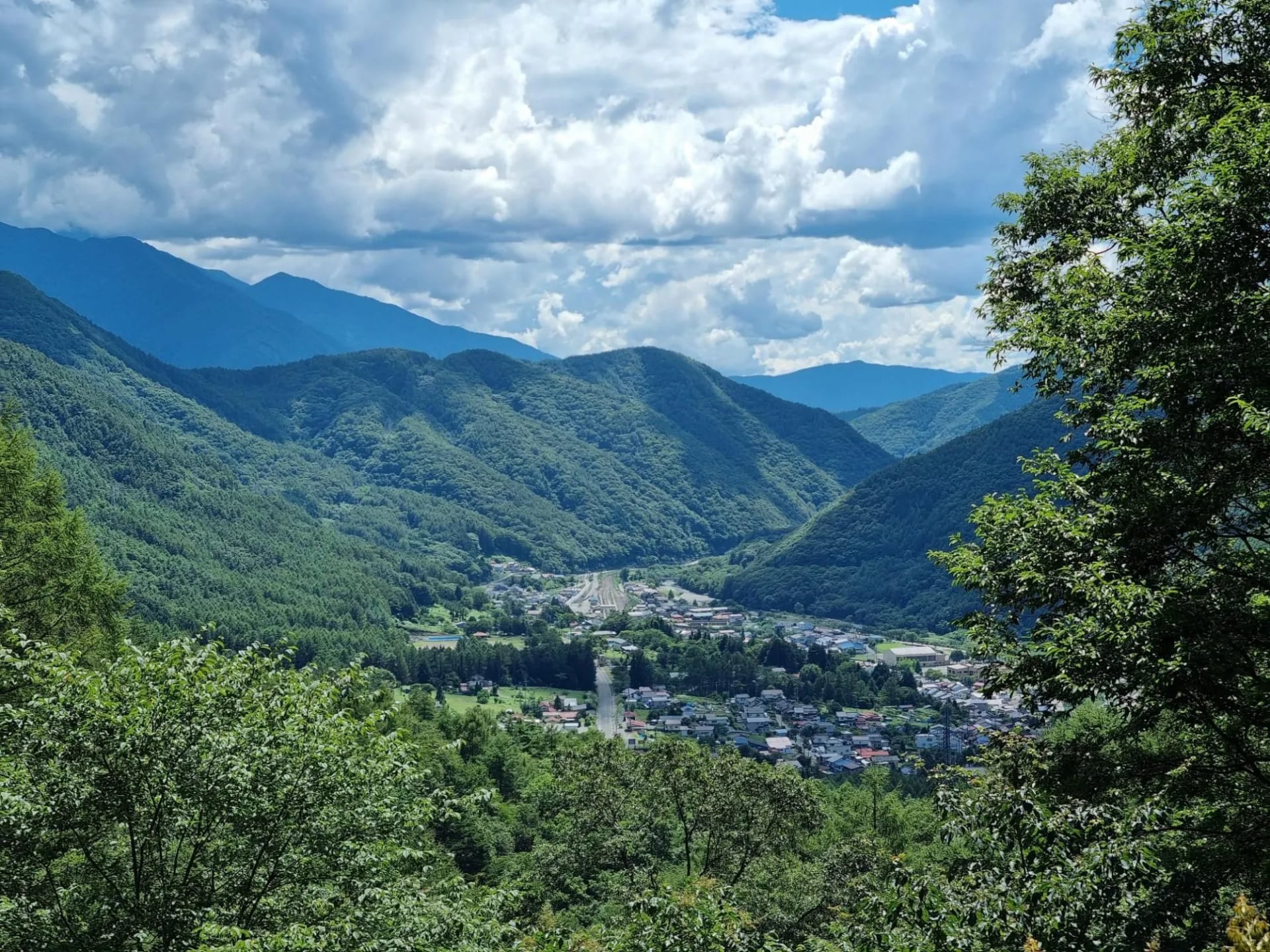
Day four is the sleeper. It is the only stage with a real climb, it ends in the best street on the road, and almost nobody on the day walk sees it.
The free day at Matsumoto is not padding either. It sits deliberately after the pass, and the castle there is one of only a handful in Japan that was never rebuilt in concrete.
The post towns
What makes Tsumago and Magome extraordinary is a decision, not a location. In 1968 the residents of Tsumago signed a charter binding themselves never to sell, lease or destroy a building, a plot or a stretch of forest along the old road, and in 1976 the district became protected cultural property.
They went further than paperwork. Cars are barred from the main street between ten in the morning and four, every day, which is why Tsumago sounds like the eighteenth century as well as looking like it. Vending machines and power lines are hidden.
Learn two words before you go and the towns open up. A honjin was the official inn where daimyo and shogunate officials stayed, and ordinary travellers were barred from it regardless of money. A waki-honjin was the overflow inn next door, where the merely wealthy were allowed.
Tsumago has both, and the Waki-Honjin Okuya survives from the Edo period rather than being a reconstruction. Magome's honjin was run by the same family for generations, and one of that family's sons, Shimazaki Toson, was born there in 1872 and later wrote the novel Before the Dawn about his father and the end of the shogunate.
The forest
The Kiso Valley is not accidentally beautiful. It grew rich on timber, and the timber survived because of one of the harshest conservation laws ever written.
Early Edo demand for cypress to build castles nearly stripped the valley bare. The Owari Domain responded with a proclamation remembered as one tree, one head: fell a protected tree and you were beheaded for it.
Five species were protected as the Kiso Goboku: hinoki cypress, sawara, asunaro, koyamaki umbrella pine and nezuko. All five are still standing here. Walking between the towns you are inside the result of that law, which is why the cedar and cypress here are the size they are.
Where you sleep
There are no huts on this route. You sleep in family-run ryokan and minshuku in the towns the road passes through, with a private room, a bath and a served dinner, which is a large part of why the Nakasendo works as a first multi day hiking trip.
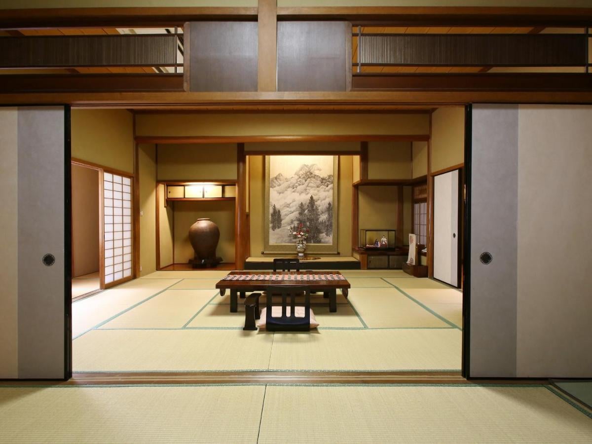
The evening has a fixed shape. You arrive mid-afternoon, bathe before dinner rather than after, eat a multi-dish set meal at a low table, and the futon appears while you eat. Dinner is served at a set time, usually around six, so a late arrival means a cold tray.
Book early. Tsumago has very few beds and they go months ahead in spring and autumn, and the inns are the constraint on any itinerary here rather than the walking.
Safety on the trail: bears and bells
There are Asiatic black bears in the Kiso Valley and encounters are rare. What is not rare is the bells: around a dozen brass bells hang at intervals along the Magome to Tsumago path, and you are meant to ring each one as you pass.
It is not theatre. Bears avoid noise, so ringing them is the whole precaution, and walkers in Tsumago are easy to spot because their day packs chime. Carry your own bell if you are walking the quieter sections, where there are no bells to ring.
The rest is ordinary care. Make noise on blind corners, keep food sealed, and treat dawn and dusk in forest as the times to be loud rather than contemplative.
Know before you arrive
Luggage. Between Magome and Tsumago the two tourist information centres run a bag transfer: drop between 08:30 and 11:30, collect after 13:00, roughly late March to November for a small per-bag fee. It does not run in winter.
Payment. Carry cash. Rural inns, buses and trailside shops frequently take nothing else, and machines thin out fast in the valley.
Permits. None. This is a public road and every section is open access.
Etiquette in the towns. These are lived-in villages, not a site. Do not photograph into doorways, keep your voice down after dark, and keep out of the middle of the street during the car-free hours as though it were pedestrianised for you.
Footwear. The cobbled sections are worn smooth and slick when wet, which on this route is often, so grip matters more than ankle support.
Language. Signposts on the Kiso section carry romanised place names, which is unusual for Japan. Bus timetables and the small print do not, so carry your route written in Japanese as well as in English.
Frequently Asked Questions
Planning your walk
Work in this order. Dates, then beds, then flights, because the inns in these towns are few and they decide everything else.
If you would rather have the route, the inns, the bag transfers and the navigation handled, our Nakasendo trek walks it in seven days from Kyoto to Tokyo.
Tell us your dates and your fitness and you will get an honest answer about what fits. Start on our inquiry page!

About this author
Jon is our travel advisor and an outdoor adventurer who is happiest on the move. While mountain biking is his personal passion, he thrives on crafting hiking adventures for others — planning routes and adding the little touches that turn a trip into a core memory.



































.jpg&w=828&q=75)
