Alpstein High Trail: 3-Day Hut-to-Hut Trek
The Alpstein High Trail crosses the massif in three walking days, 33 km and 2,900 metres of ascent, with fixed cables and two mountain inns on the ridge.

Jon
Published September 2, 2026
Edited October 6, 2026
17 min read
Quick links
Don't want to read all this?
We've planned 2,000+ hiking trips. Send your dates, fitness and group size — we'll map the route and book every night.



The Alpstein is the best known corner of the Appenzell Alps, a small range in eastern Switzerland with an outsized reputation. Its highest summit, the Säntis, reaches 2,501.9 metres, lower than the huts on some Valais treks. It is also one of the most demanding places in the country to walk.
That contradiction is the whole appeal. The rock is limestone, folded into thin parallel ridges with almost nothing gentle between them, so a day here climbs and drops far more than the map suggests. For the wider country, our ultimate Switzerland hiking guide is the place to start.
This guide covers the route, the season, the cables and the inns, then the other multi-day lines that cross the range. Grades follow our hiking difficulty guide.
Why Walk the Alpstein High Trail
Start with the thing that surprises people. There are 24 mountain inns in the Alpstein, listed by the regional tourist board, packed into a massif you can see across in a single view. Nowhere else in Switzerland puts that much shelter into that little ground.
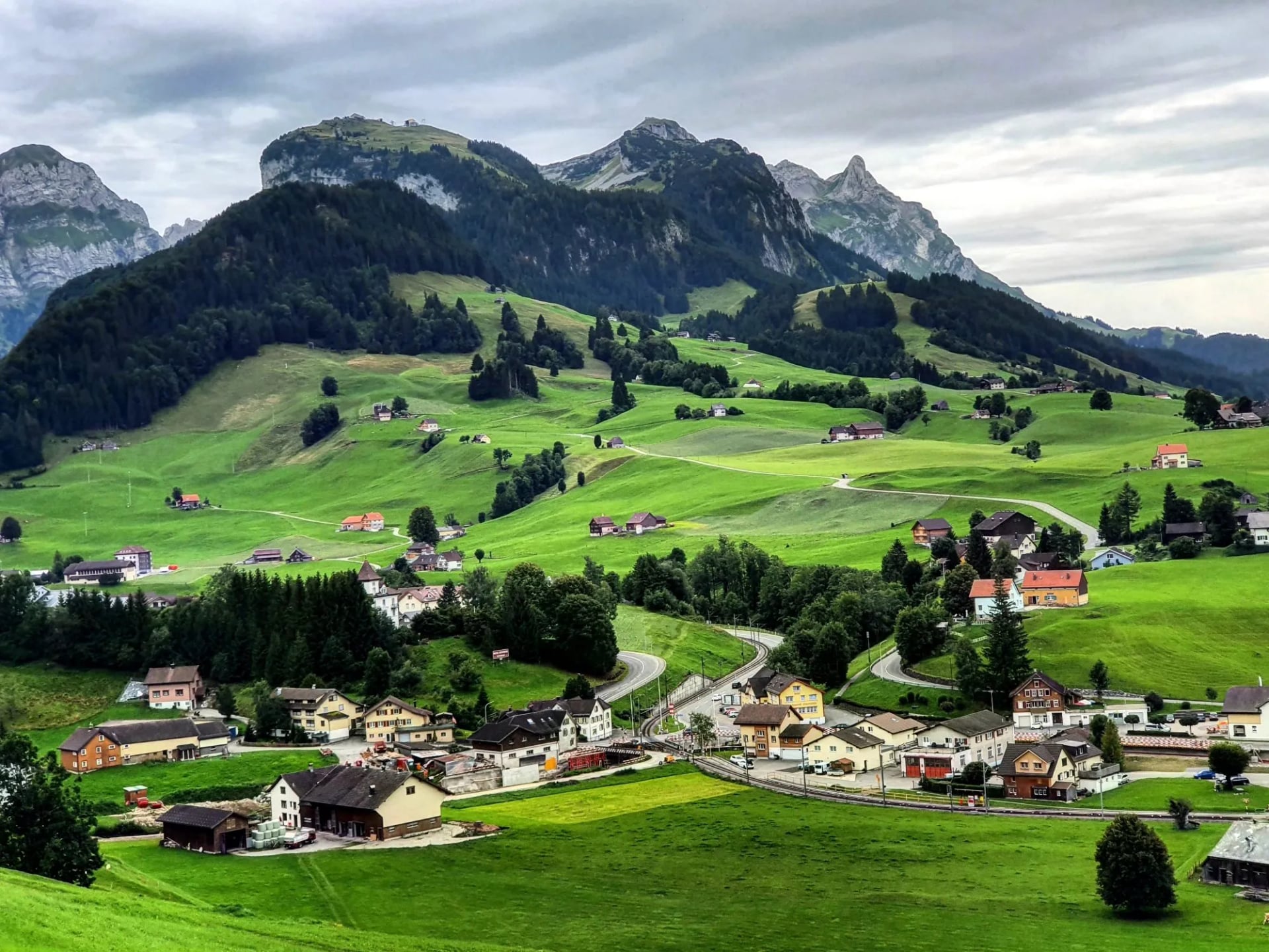
The effect is a range you can walk hard while carrying almost nothing. Dinner and a bed are rarely more than a couple of hours apart, so the pack stays small and the walking stays serious. That combination is rare and it is the practical reason to come.
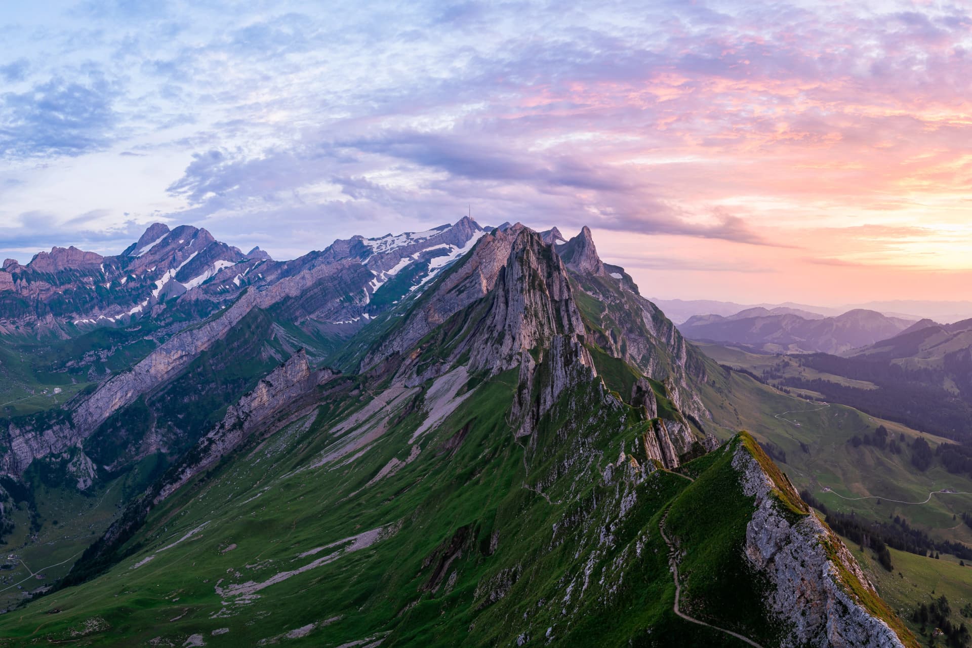
The second reason is the shape of the rock. Appenzell hiking means ridges rather than valleys: long limestone blades with grass on one side and a drop on the other, and paths that run along the top rather than around the bottom. You spend whole days looking down both sides at once.
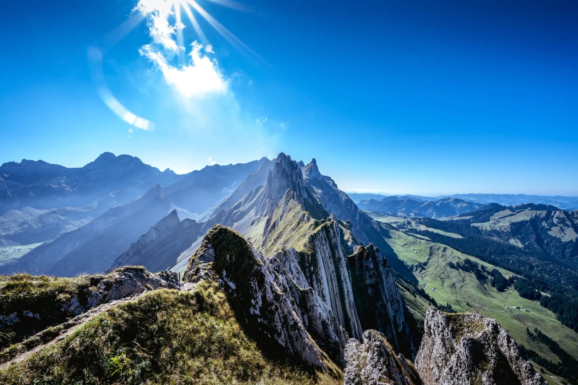
Third, it is hard in a way the modest altitudes hide completely. Our week here is graded four out of five for fitness and four for technique, the hardest of our Swiss weeks, with fixed cables on all three stages and daily ascent between roughly 710 and 1,190 metres.
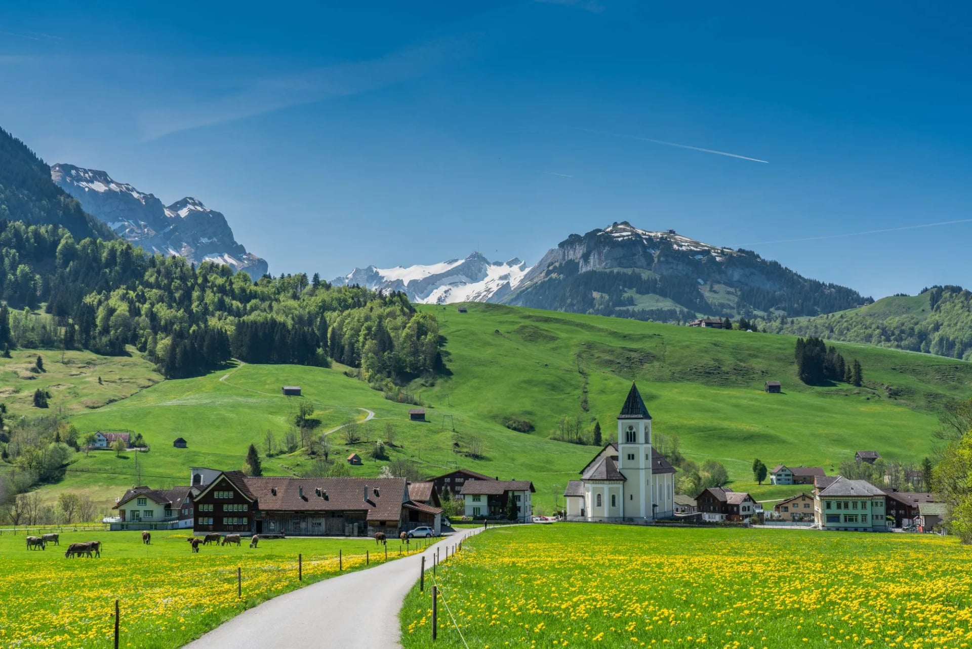
And last, it is not the Alps you have seen photographed. This is the far east of the country, closer to Liechtenstein than to Interlaken, with its own dialect, cheese and politics, and a landscape of scattered timber farms that looks nothing like Valais.
What the Trek Involves
The massif sits south of the village of Appenzell and spreads across three cantons: Appenzell Innerrhoden, Appenzell Ausserrhoden and St. Gallen. It is predominantly limestone, pushed into folds running roughly parallel from south west to north east.
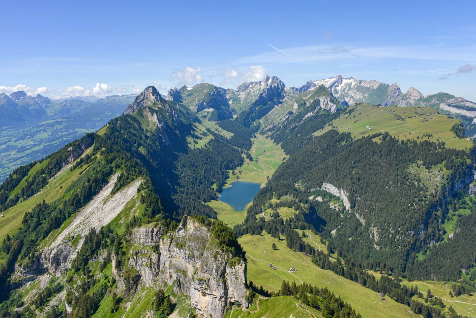
Those folds are what you walk. Three ridge lines carry the main paths, with the Säntis at the western end and the Hoher Kasten at the eastern, and lakes trapped in the troughs between them. Seealpsee, Fälensee and Sämtisersee are the three.
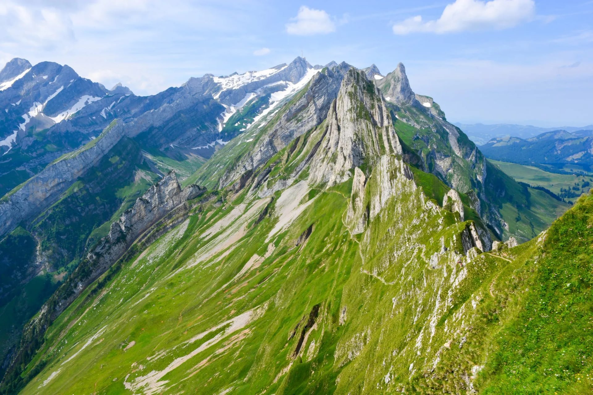
The High Trail takes the northern and middle lines from Wasserauen to the Hoher Kasten, crossing the range rather than looping it, so every day faces a different direction. It is three walking days, with a valley night at either end.
The consequence is relentless up and down. There is no long valley approach and no gradual warm up, because the ridges rise straight from farmland and the paths take them head on. Expect a thousand metres of ascent in a single day that covers only ten or twelve kilometres.
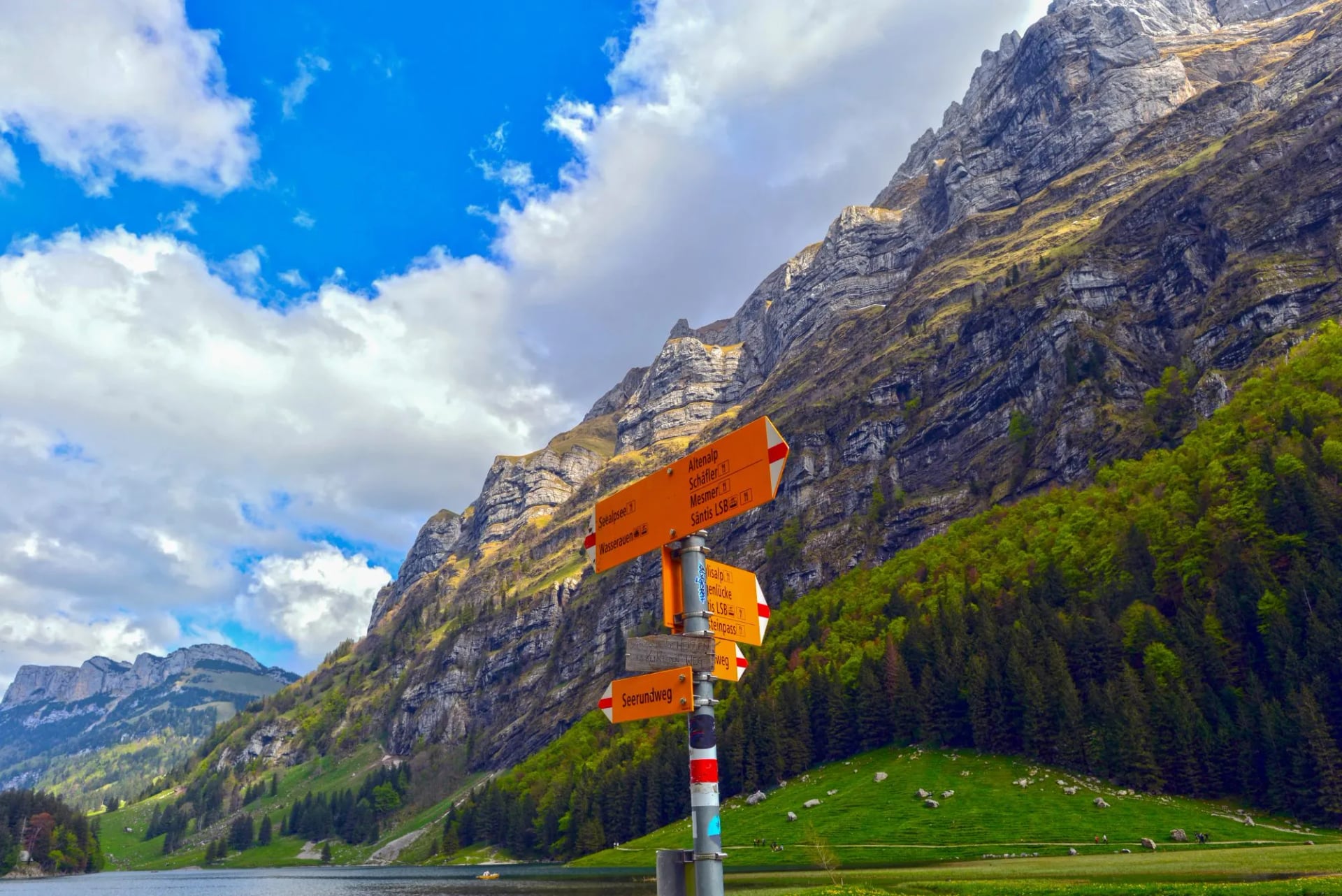
Waymarking is the Swiss standard, white-red-white for mountain paths and white-blue-white for alpine routes where hands are needed.
Best Time to Hike the Alpstein
The season runs from June to September on our trip, with most of the 24 inns open from May to October. June is green and can still hold old snow in the shaded gullies on the northern side of the ridges, which matters more here than the dates suggest.
July and August are the reliable months and also the busiest, and on a fine weekend the popular sections carry real numbers. September is the month to aim for: settled air, empty crests, and the cattle coming down off the high alps.
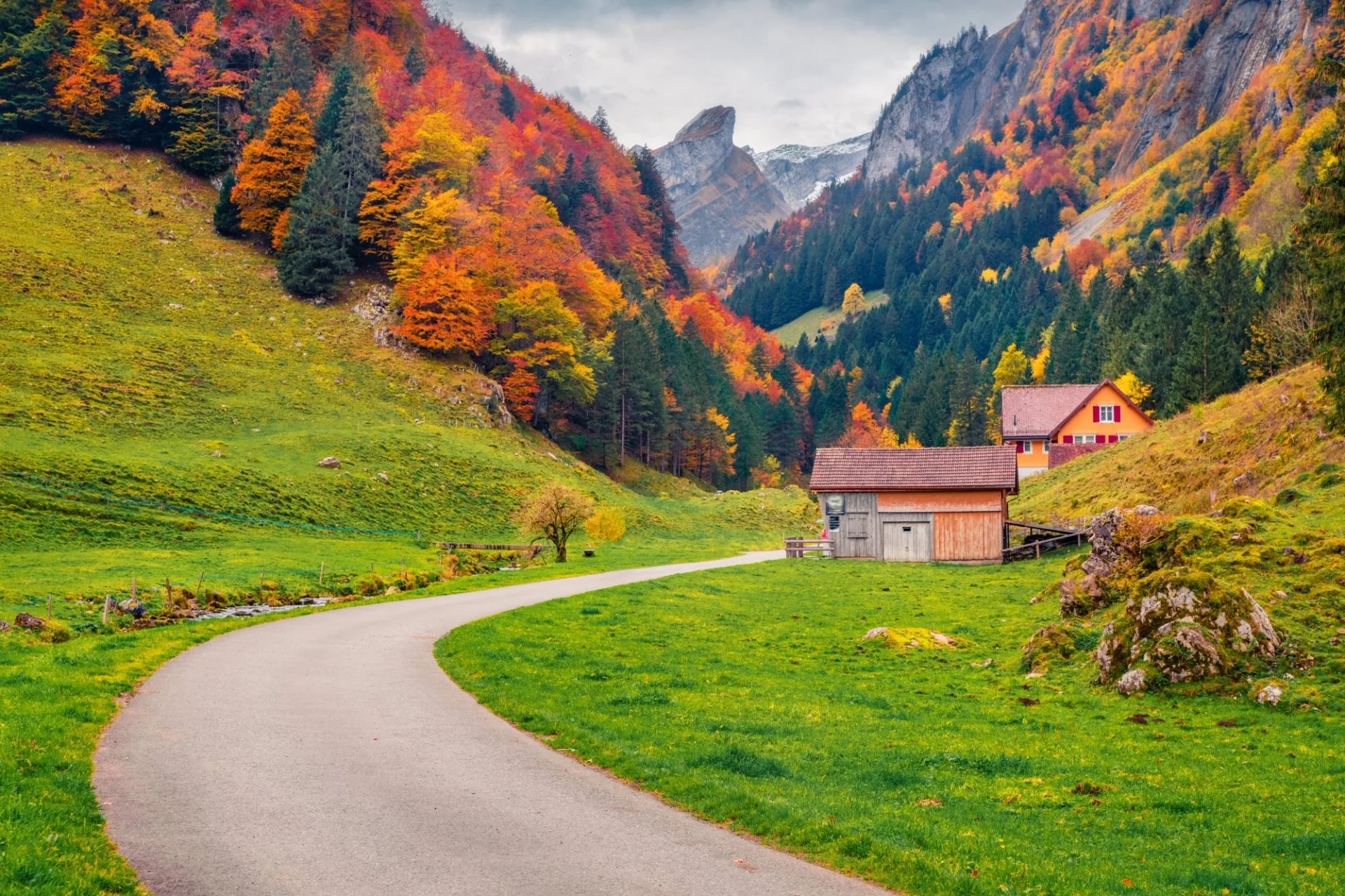
That last part is worth planning around rather than stumbling into. The Alpabfahrt, when herds are walked down in procession with bells and formal dress, happens across September, and it is a working event rather than a show staged for visitors.
Weather here is a real variable, and the range makes its own. The Alpstein catches moisture off the flatlands to the north and can sit in cloud while the central Alps are clear, so check the forecast for this massif specifically rather than for Switzerland. MeteoSwiss publishes a mountain outlook.
Avoid the shoulders of the season. Before June the cabled section holds snow and the inns are shut, and after early October the whole network closes down, which leaves you on a serious ridge with nowhere at all to stop.
How Hard Is the Trek?
This is the hardest of our Swiss weeks and the numbers do not look like it on paper. Daily distances are only about 10 to 13 kilometres, but daily ascent runs from roughly 710 to 1,190 metres, and our grading is fitness four of five and technique four of five.

Four things make it demanding. The ascent per kilometre is brutal because the ridges rise straight from the fields. The crests are narrow and exposed for long stretches, so there is nowhere to relax mentally. Cables and exposed steps come on all three days and need a head for heights.
The fourth is weather, and it is specific to this range. These ridges attract thunderstorms and there is nowhere to shelter on a crest, so an afternoon storm is a real problem rather than an inconvenience. Start early and treat mid afternoon as a deadline.
What it does not need is altitude tolerance. The two ridge nights sit at 1,920 and 2,000 metres and the route never approaches the Säntis, so nobody sleeps high enough to feel it, and you can arrive and start walking without acclimatising, which is not true of the Valais treks.
Be clear with yourself about exposure. Fit walkers who dislike drops have a miserable time on these ridges, and fit walkers who do not have the best week of their year. Read mountain safety 101 before you commit.
Alpstein High Trail Stage by Stage
The Three Walking Days
Day 1. Wasserauen to the Schäfler, the climb out of the valley onto the crest
Day 2. Schäfler to the Zwinglipass hut, the sawtooth ridge under the Säntis
Day 3. Zwinglipass to the Hoher Kasten, the eastern ridges to the cable car
Stage 1: Wasserauen to Schäfler
Distance: 10 km
Ascent: 1,190 m
Descent: 175 m
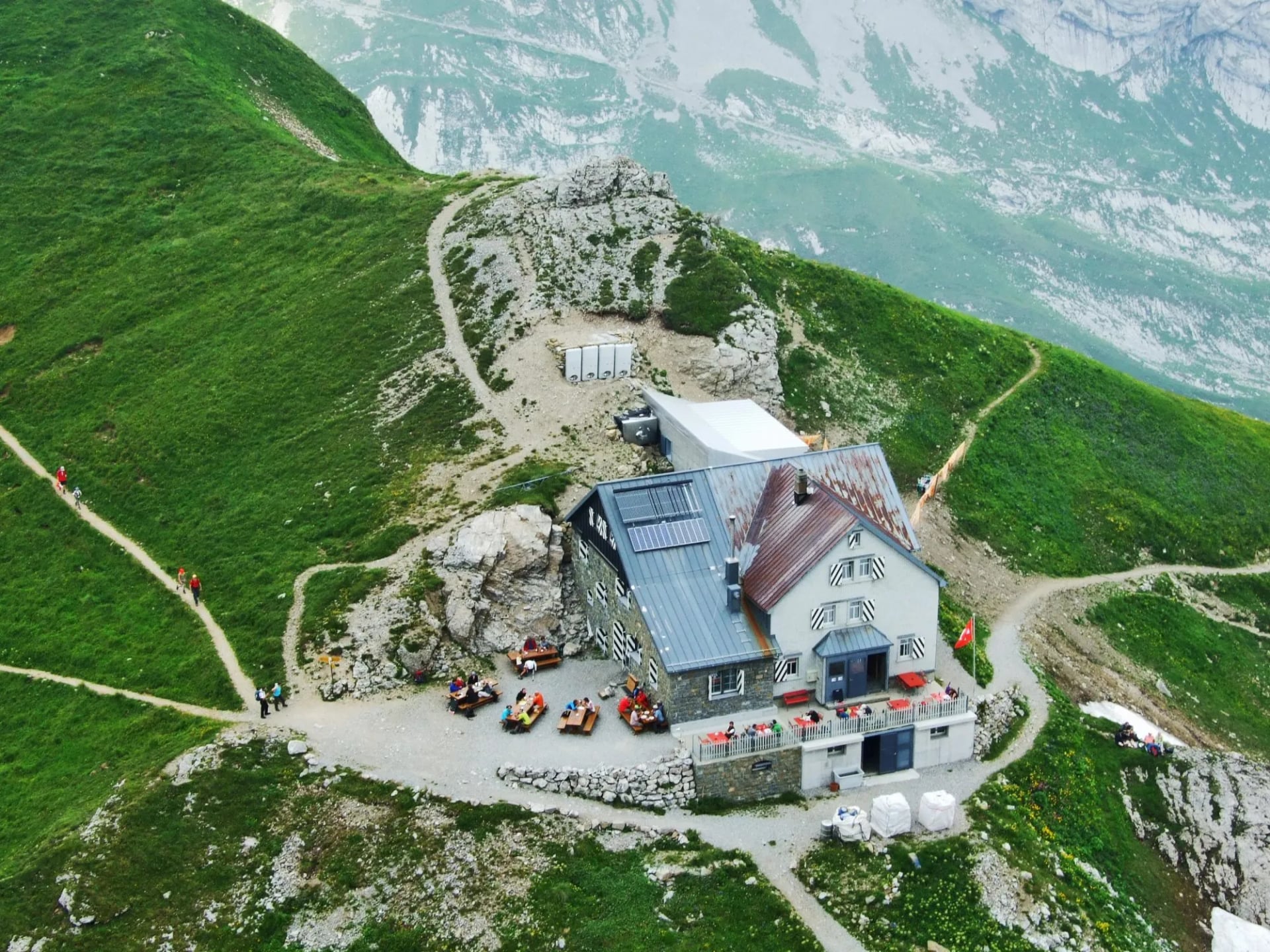
Sleeping: Berggasthaus Schäfler at 1,920 m
The introduction, and it is not gentle. The path leaves the railway terminus at Wasserauen and climbs past Seealpsee before turning up to the Ebenalp shoulder and along the crest to the Schäfler. The last pull onto the ridge is rocky and already carries fixed cables in places.
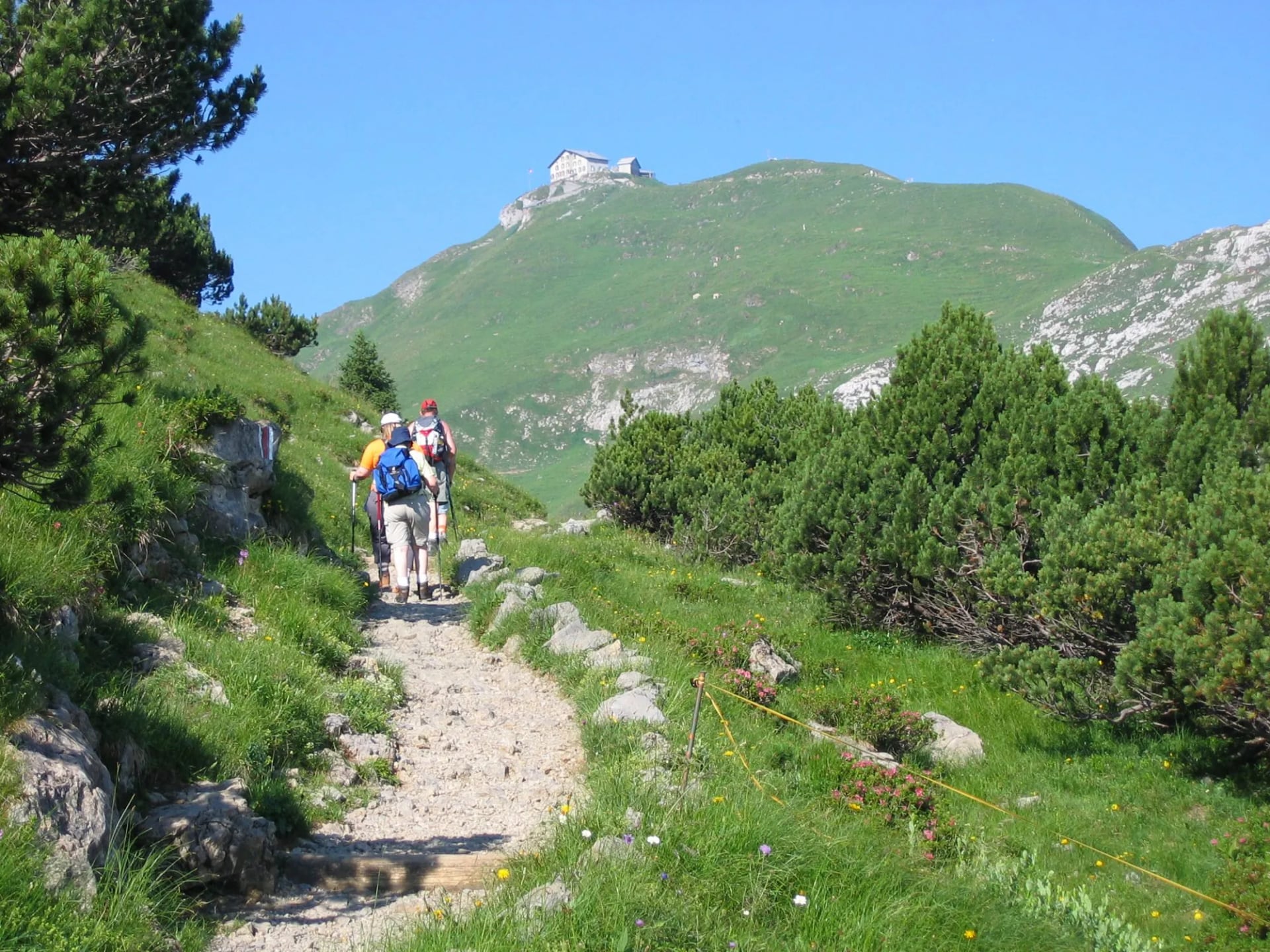
It is the day that decides how the rest of the week feels, because it takes you from farmland to ridge crest in one push with no easing into it. There is a cable car from Wasserauen to Ebenalp for anyone who wants to skip the bottom half, and using it is a legitimate choice rather than a failure.
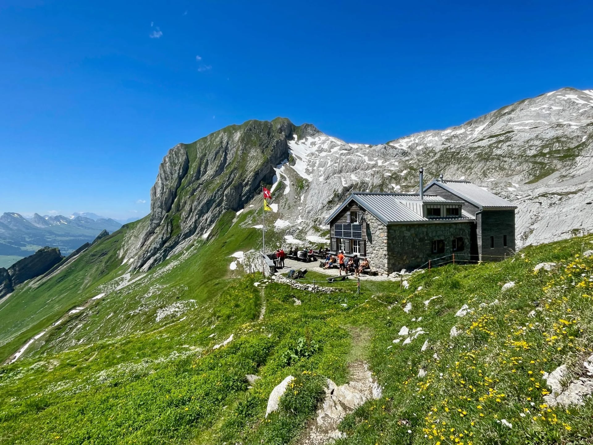
The reward arrives at the top. The Schäfler sits on the crest with the whole massif on one side and the Appenzell farmland dropping away on the other, and it is one of the 24 inns rather than a spartan refuge. Sunset from that terrace is the single most photographed thing on the route.
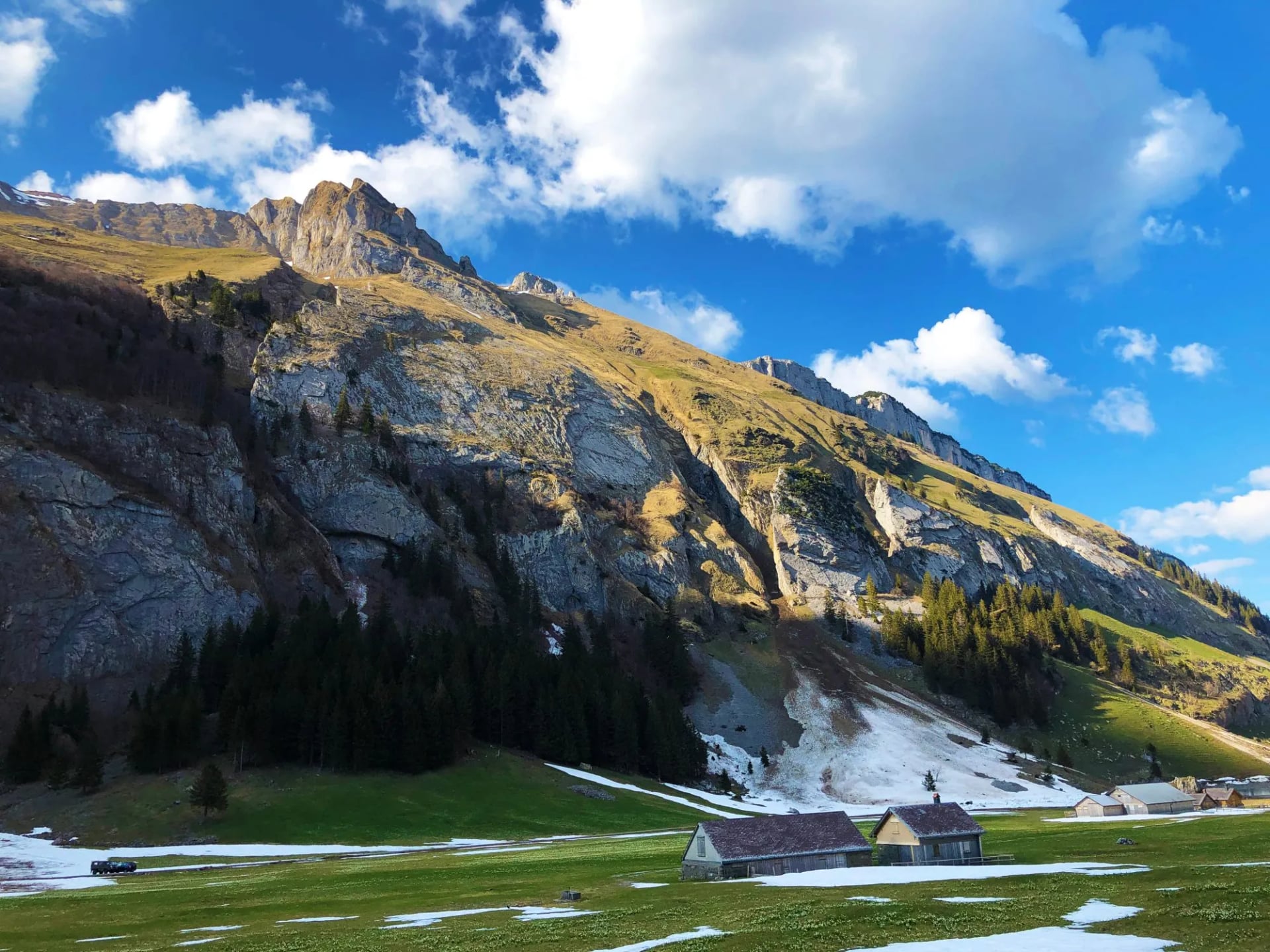
The crowds matter on this stage and nowhere else. The first half is among the most visited ground in eastern Switzerland, and by the time you reach the inn in the evening almost everybody has gone home on the last cable car down.
Stage 2: Schäfler to Zwinglipass
Distance: 10.2 km
Ascent: 1,000 m
Descent: 890 m
Sleeping: Berggasthaus Zwinglipass at 2,000 m
The serious day. The route follows the ridge south east under the Säntis and the Altmann, dropping and climbing between the folds rather than contouring round them.
That sawtooth profile is why the ascent figure is so high for so few kilometres. You lose height into each notch and win it straight back on the far side, repeatedly and without much warning, and this is where the fixed cables are at their most sustained.
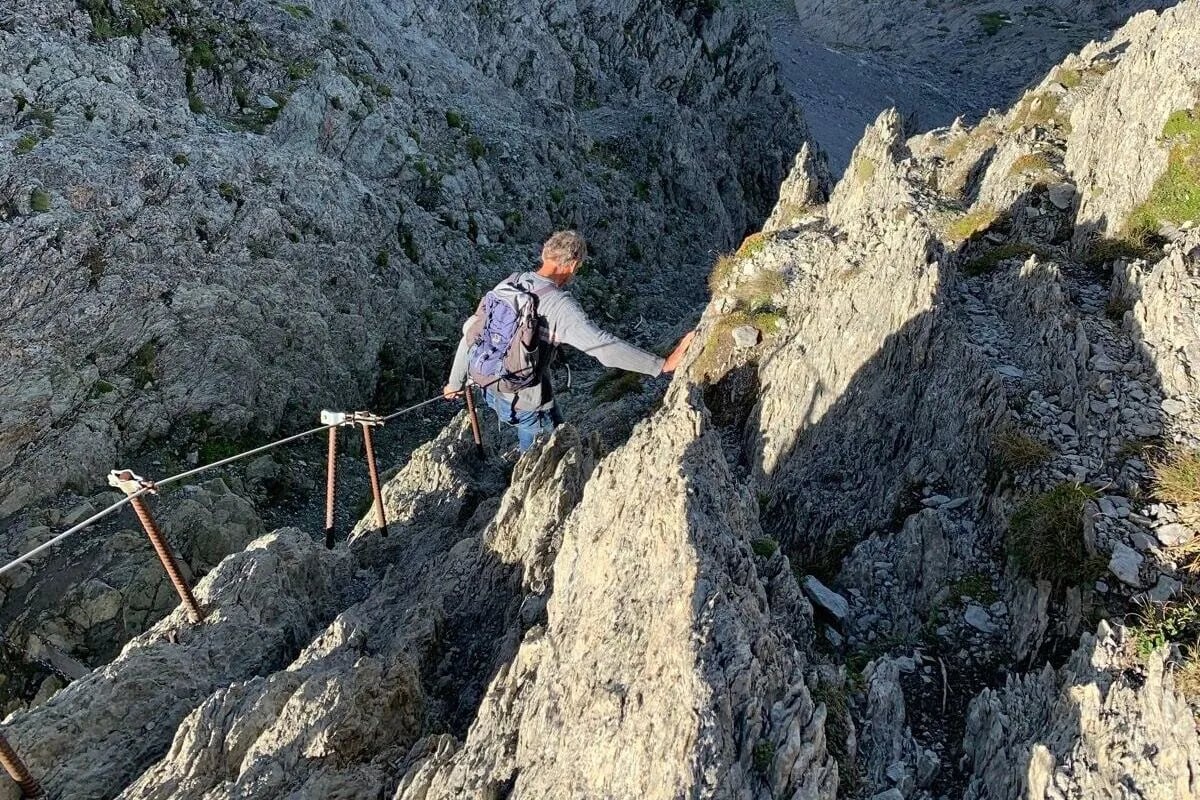
Nothing here is via ferrata and no equipment is required, but there are passages where a wire rope is bolted to the rock and you hold it. If that worries you, this is the stage to think hard about, because there is no way round it once you are committed to the ridge.
The compensation is the position. You are on the crest for most of the day with the two highest peaks in the range ahead of you, and the ground falls away steeply on both sides for hours at a time.
Stage 3: Zwinglipass to Hoher Kasten
Distance: 13.2 km
Ascent: 710 m
Descent: 1,010 m
Finish: Hoher Kasten at 1,794 m then the cable car to Brülisau
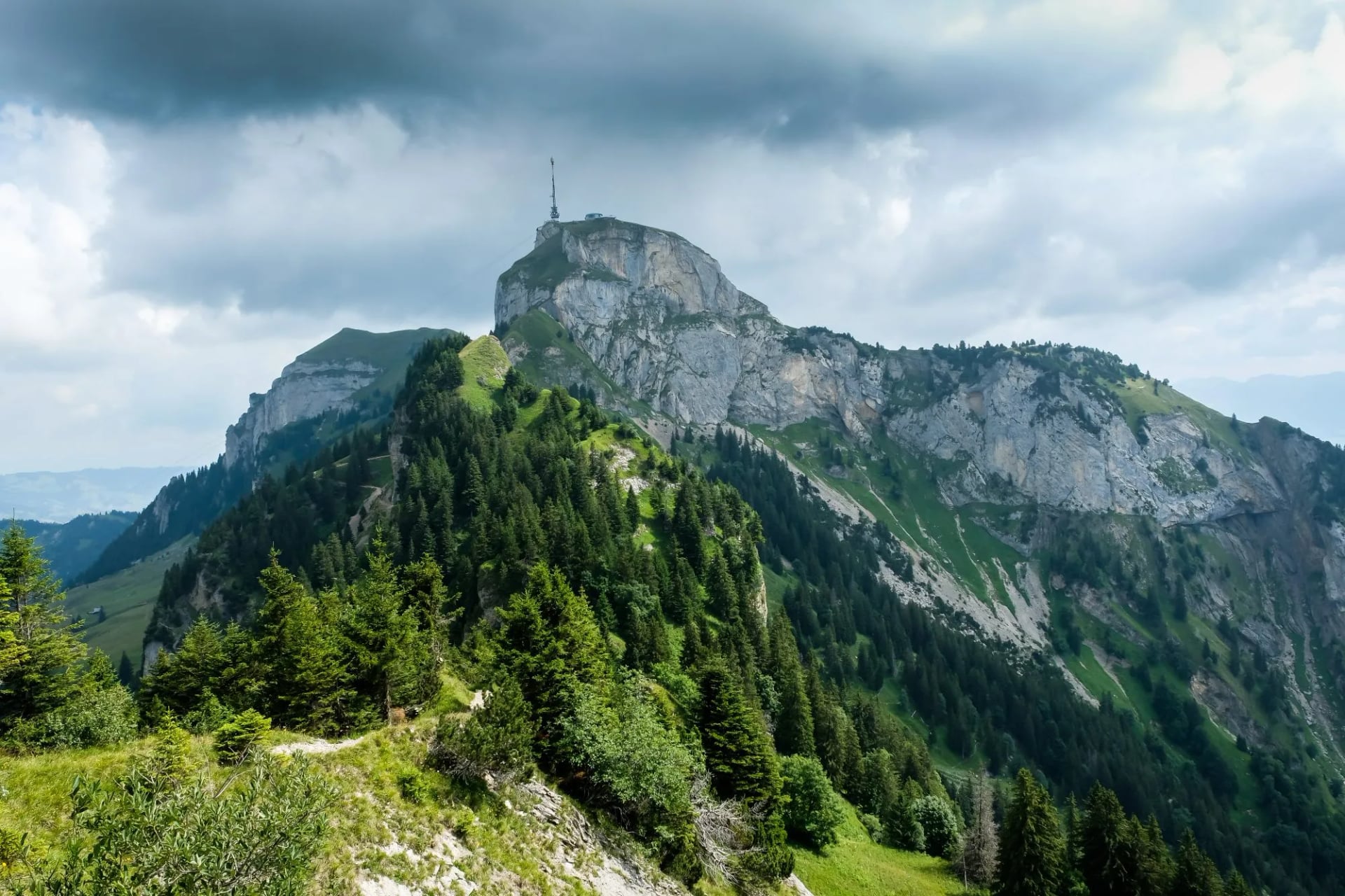
The finish, and the most panoramic stage of the route. The path continues along the eastern ridges towards the Hoher Kasten, with the ground opening out eastwards over the Rhine valley and the ranges beyond it. It is not the easiest day, though: there are cabled sections across the exposed ground and a rocky scramble onto the summit where you will use your hands. The operator at the far end counts six countries visible from the summit.
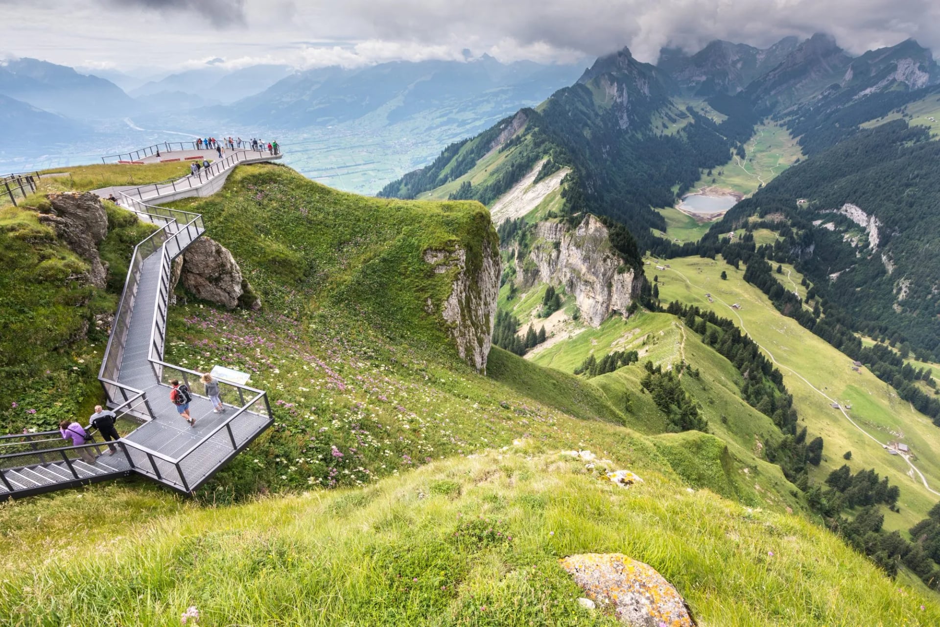
The last stretch is busier than anything that came before, because the Hoher Kasten has a cable car and day visitors arrive at the top in street shoes. After two days of having the ridge to yourself, the crowd is a shock rather than a nuisance.
The summit at 1,794 metres carries the only revolving restaurant in eastern Switzerland, which turns once an hour. Sit still for sixty minutes and the whole panorama comes to you, which after three days of earning views on foot is either delightful or absurd. From there the cable car drops to Brülisau in eight minutes.
Our Self-Guided Trip
Our Alpstein High Trail Highlights trip is self-guided, with a digital guidebook, GPS navigation and support while you walk.
Distance: about 10 to 13 km a day
Ascent: about 710 to 1,190 m a day
Sleeping: mountain inns with half board and 3-star hotels with breakfast
Season: June to September
Grade: fitness 4, technical 4
Five days covers the three walking stages with a valley night at either end, at Weissbad on arrival and Appenzell at the finish. Day two climbs from Wasserauen past Seealpsee to the Schäfler, day three takes the cabled ridge to Zwinglipass, and day four finishes on the Hoher Kasten.
What makes it worth handing over is the sequencing. The inns on this crest are small, they fill months ahead, and two of them must align on consecutive nights or the crossing does not work at all. That is the part that goes wrong when people arrange it themselves in August.
What to Pack
The inns mean a small pack and the terrain means the contents matter. A 25 to 45 litre pack is right, and there is no bag transfer across the range.
On your feet. Ankle-supporting boots, not trail shoes, because the limestone is sharp and slick when wet. Poles help on the descents but stow them for the cabled sections, where you want both hands.
Layers. Base layer, shirts, water-repellent trousers, a midlayer and a waterproof, plus gloves and a warm hat. Wind is the normal state on a crest.
No technical gear. No harness, helmet or via ferrata set is needed. The cables are handholds, not a protected climbing route, so gloves are the only extra worth carrying.
Sun. Limestone throws light back at you. Sunglasses, sunscreen and a cap matter more here than the altitude suggests.
Inn kit. A sleeping liner, indoor shoes, a headlamp and earplugs. Swiss francs, for the Zwinglipass night and anything bought up on the ridge.
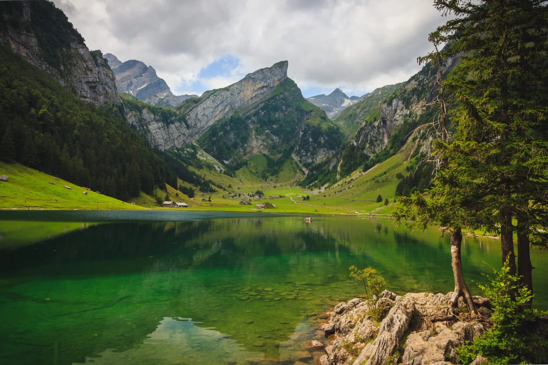
Water. Two litres of capacity, refilled at every inn. The ridges have no streams at all, because karst limestone takes the water underground the moment it lands.
How Long to Give It
Two days is the shortest that makes sense on the ridges: up to the Schäfler by cable car and path, along the crest, and down. It gives you one ridge night and the best of the scenery without the sustained cabled ground of stage two, though the pull onto the crest is cabled in places too.
A week links the inns end to end along all three ridge lines, taking in Fälensee, Bollenwees and the Säntis, and doubling back on the southern crest. It is the completist option and it needs far more booking, because you are chaining six or seven small inns rather than two.
A trip here can also be built from a single base, using the cable cars each morning and coming back down each evening, which suits mixed groups where not everybody wants a ridge. The range is small enough to make that work in a way the Valais never could.
The 24 Mountain Inns
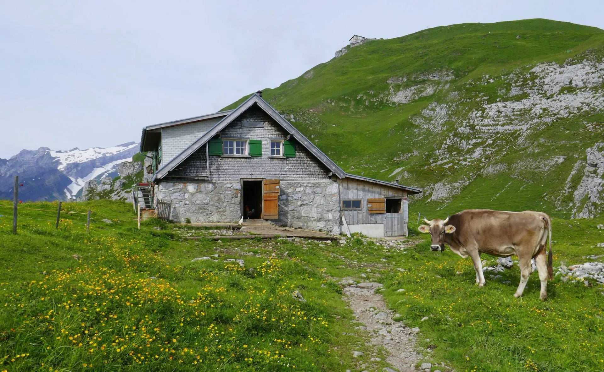
These are Berggasthäuser, and they are not Swiss mountain huts in the Alpine Club sense, which matters more than it sounds. They are privately run mountain inns, most of them family businesses, so the standard is higher and the atmosphere much less institutional. Our Switzerland hiking accommodation guide covers the categories.
Berggasthaus Schäfler. On the ridge crest above Ebenalp, and the first night of the route.
Berggasthaus Zwinglipass. Below the pass on the southern side, and the second night.
Berggasthaus Seealpsee. On the lake shore, a lunch stop on stage one rather than a bed.
Berggasthaus Äscher. Built against the cliff below Ebenalp, reached through the Wildkirchli caves.
Meglisalp and Bollenwees. Two of the best known of the rest, on other lines across the range.
Most open May to October, a slightly longer season than the high alpine huts further west manage. Book anyway, because the range is small, popular and within easy reach of three large Swiss cities.
Bring a liner even though these are inns rather than club huts, and carry Swiss francs, because a signal on a limestone ridge is not something to plan around.
Appenzell Politics and Cheese
The culture here is not scenery. Appenzell Innerrhoden is one of only two Swiss cantons that still governs by Landsgemeinde, an open-air assembly in the square where laws and officials are decided by a show of hands.
It is not a re-enactment. It is the actual legislature, held once a year in the open air, and it is the reason for the most uncomfortable fact about the place: women could not vote here until 1991.
The all-male assembly rejected female suffrage for the third time in spring 1990. It took a Federal Tribunal ruling that November to end it, on the grounds that the canton was breaching the federal constitution, which had granted women the vote nationally back in 1971.
The cheese keeps its own secret. Appenzeller wheels are rubbed and turned every two days with a herbal brine of more than 25 herbs, roots and spices, and the recipe is known to two people. You will be offered it at every inn on the route.
Säntis and the Cable Cars
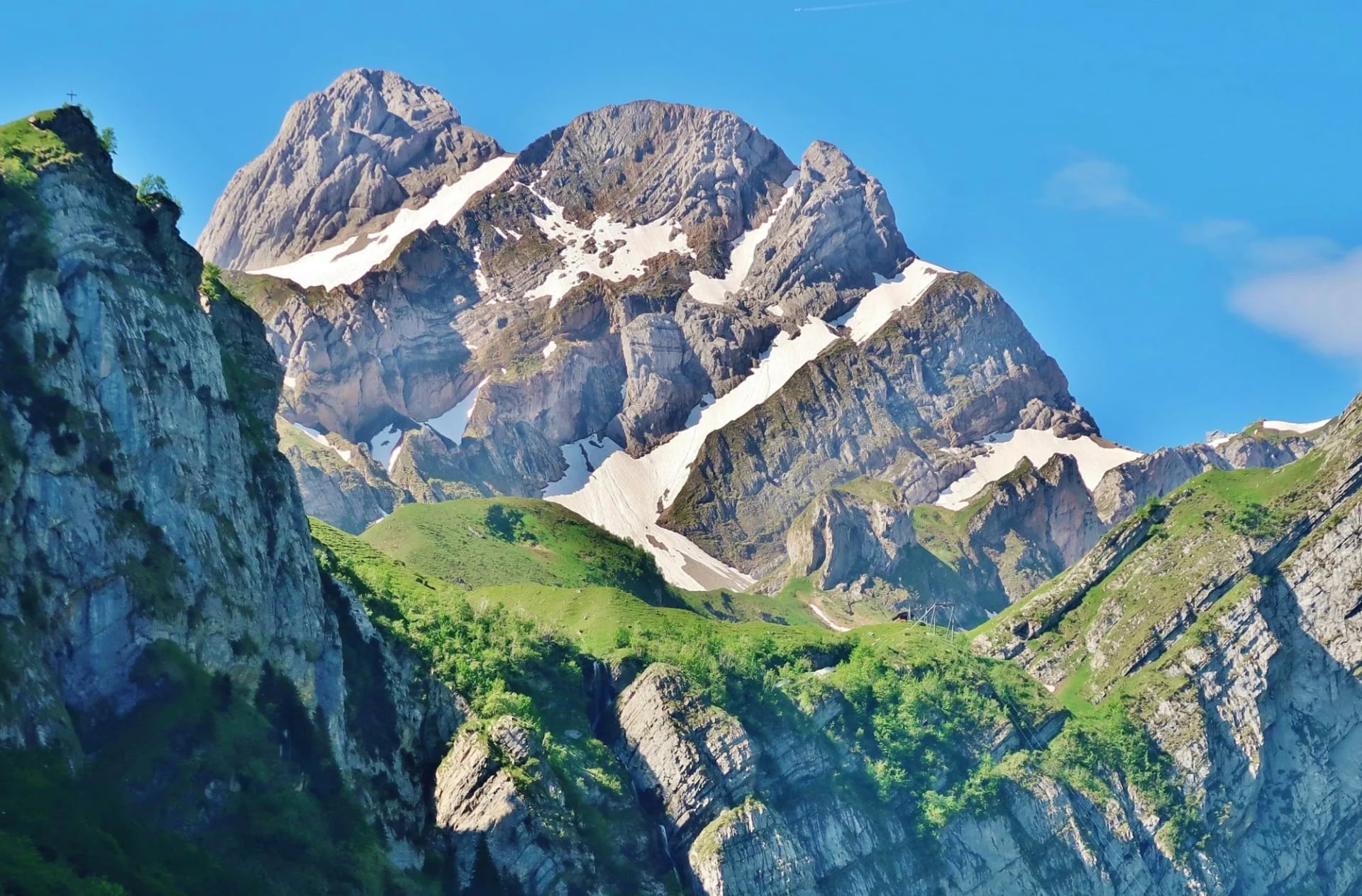
The Säntis at 2,501.9 metres is the high point, with a cable car, a weather station and a transmission tower on top, which makes it the least wild summit in the massif and the biggest view. On a clear day it looks well beyond the Swiss borders.
That tower is more interesting than it looks. It stands 124 metres tall and is hit by lightning more than a hundred times a year, making it one of the most struck structures in Europe and, since 2010, a working research station wired with current sensors and high speed cameras.
Most of those strikes travel the wrong way. They are upward flashes that start at the tower and go up to the cloud rather than down from it, which is not how most people picture lightning, and is exactly why researchers instrumented this particular summit.
For a walker the useful part is what it says about the range. The Alpstein pulls electricity out of the sky more reliably than almost anywhere in the Alps, which is the real reason to be off the ridges by early afternoon.
Getting There Without a Car
The range is served by rail at both ends, which is most of why it works without a car. Trains run from St. Gallen or Gossau to Appenzell on the narrow gauge railway, and a branch continues up the valley to Wasserauen, where the trailhead is the station car park and very little else.
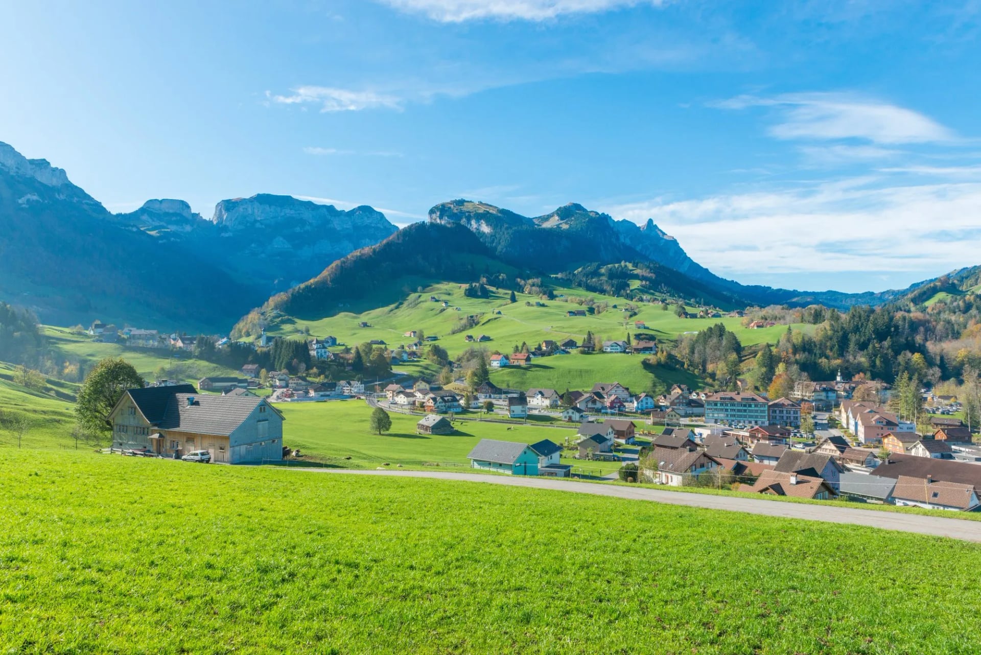
Weissbad, where our trip starts, is one stop back down that line. At the far end the Hoher Kasten cable car lands at Brülisau, from where a bus runs to Appenzell and back onto the railway.
That means no hire car at either end and no transfer to arrange, on a route that crosses a range rather than looping back to its own start.
Know Before You Arrive
This is the section to read the week before you fly.
Payment. Carry francs. The Zwinglipass night is settled on arrival, and card readers depend on a signal these ridges do not reliably give.
Water. Fill up at every inn. Karst ground means no surface water on the high sections at all, whatever the map shows.
Rescue and insurance. Swiss alpine rescue is billed to the person rescued, so check your policy covers mountain rescue before you travel.
Weekends. The range is within easy reach of Zurich and St. Gallen, so Saturdays are busy on the popular sections. Start early or plan midweek.
Frequently Asked Questions
Choosing Your Alpstein Trip
If you want a hard week without altitude, the Alpstein High Trail is the trip: three days of limestone ridge, fixed cables on every stage, a lake that reflects the whole massif and a revolving restaurant at the end. September is the pick, for settled air and empty crests.
It is the right choice when you have the fitness but not the fortnight, when you would rather sleep in a family run inn on a working alp than in a dormitory, and when exposure appeals rather than worries you.
Still weighing it up? Get in touch with our team and we will shape the week around your dates →

About this author
Jon is our travel advisor and an outdoor adventurer who is happiest on the move. While mountain biking is his personal passion, he thrives on crafting hiking adventures for others — planning routes and adding the little touches that turn a trip into a core memory.













.jpg&w=828&q=75)












































.jpg&w=828&q=75)























