Hiking in Denmark: 5 Best Multi-Day Trails
Hiking in Denmark means distance rather than altitude. Five waymarked trails from 84 to over 600 kilometres, what each one asks and when to walk them.

Suzana
Published September 7, 2026
Edited October 8, 2026
20 min read
Quick links
Don't want to read all this?
We've planned 2,000+ hiking trips. Send your dates, fitness and group size — we'll map the route and book every night.



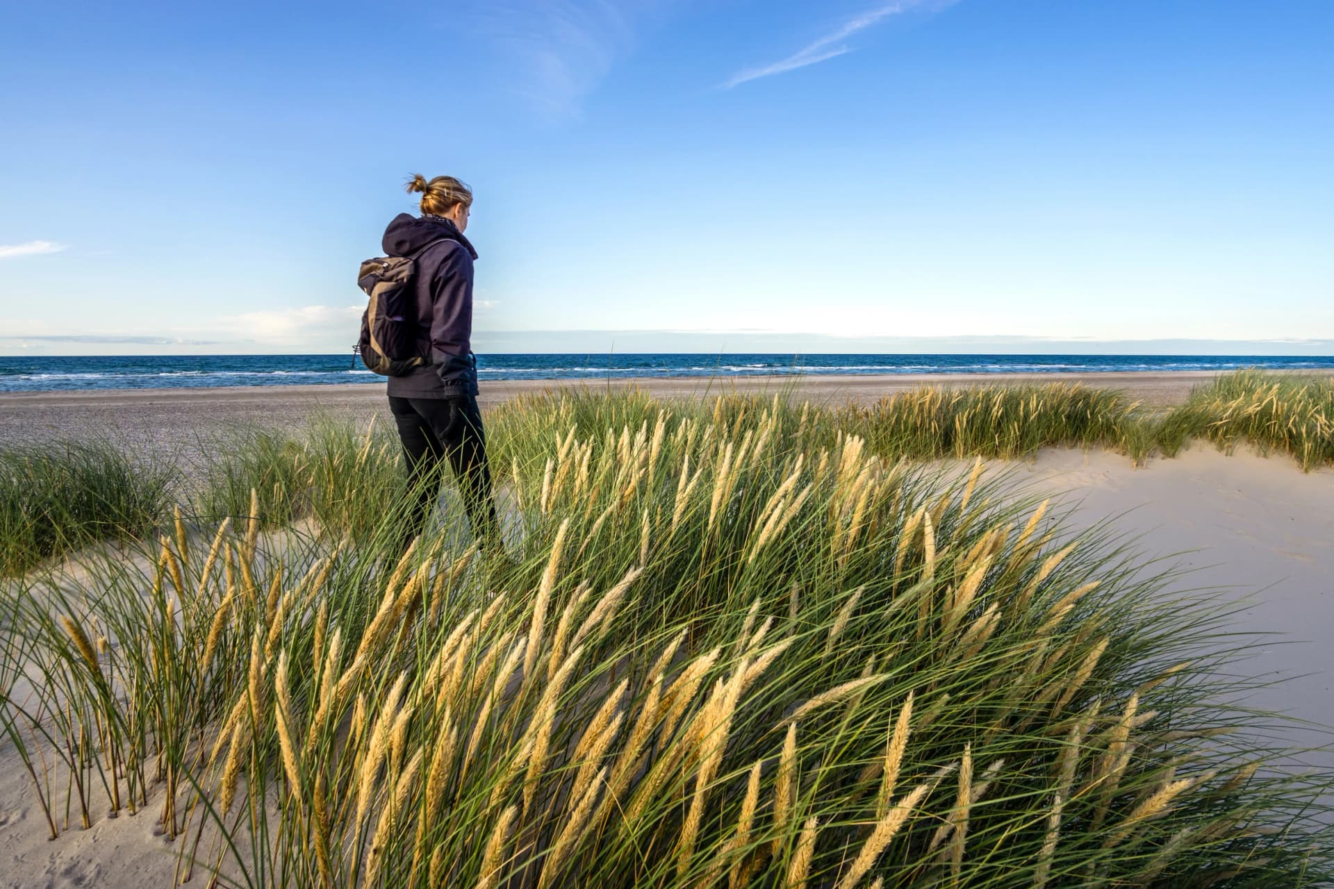
Denmark has no real mountains and some of the longest waymarked hiking trails in Europe. Hiking here means coastline instead of summits: chalk cliffs, granite headlands, dune-backed beaches and forest track strung along more than 7,000 kilometres of coast.
The trails are long-distance rather than high-altitude, which is what makes this an unusual entry on most hikers' lists. Every route below is flat by continental standards, signposted the whole way, and ends each day in a proper bed rather than a tent.
This guide covers the five multi-day routes worth the flight, how long each one takes, and what to arrange before you go. Our Denmark walking trips cover one of them.
The Best Hiking Trails in Denmark
Five routes carry the multi-day walking in this country and they are not interchangeable. Two circle islands, one follows a border, one crosses an archipelago and one runs the spine of Jutland. Choose by landscape rather than by distance.
Kyststien on Bornholm
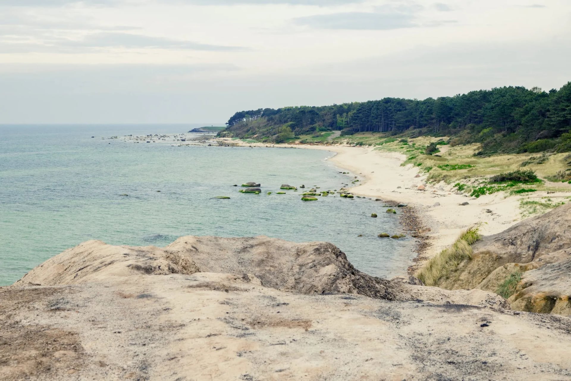
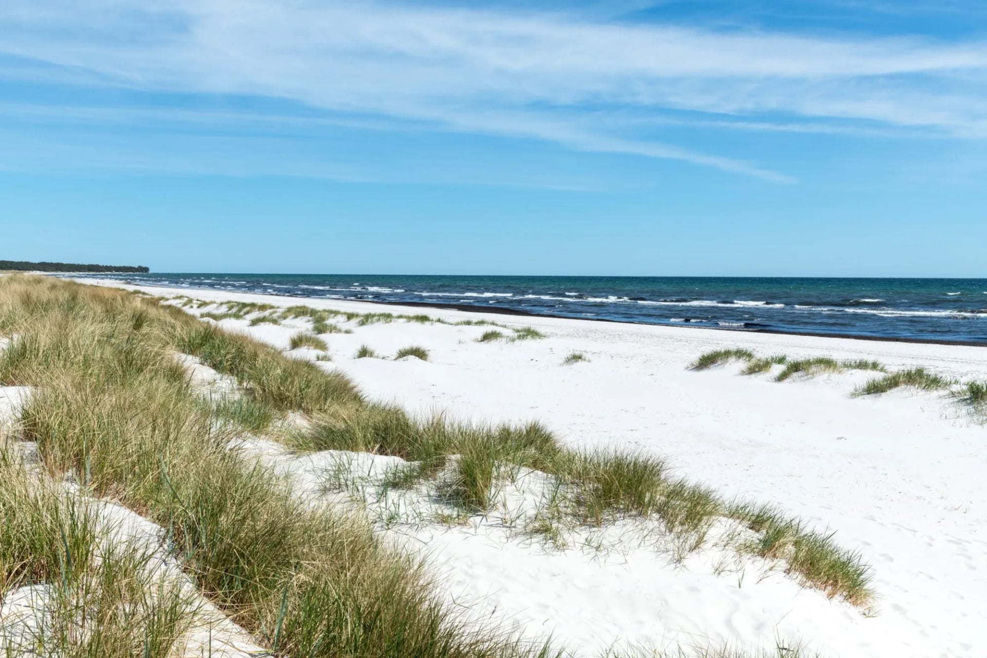
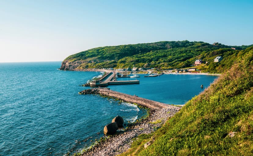
The Coastal Trail circles Bornholm, out in the Baltic, for around 120 kilometres in seven official stages. At a relaxed pace that is seven to ten days, and strong walkers close the loop in five or six. The surface alternates granite headland in the north, sand in the south, and forest in between.
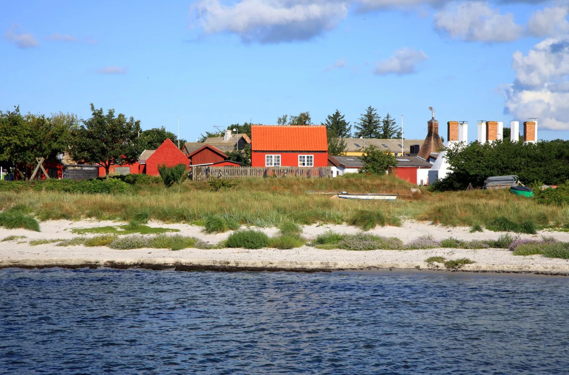
That split is the thing to plan around. The north is rock and headland, the south is sand and dune, and the two halves of the same loop ask completely different things of your legs, so the direction you walk it matters more here than the daily distance does.
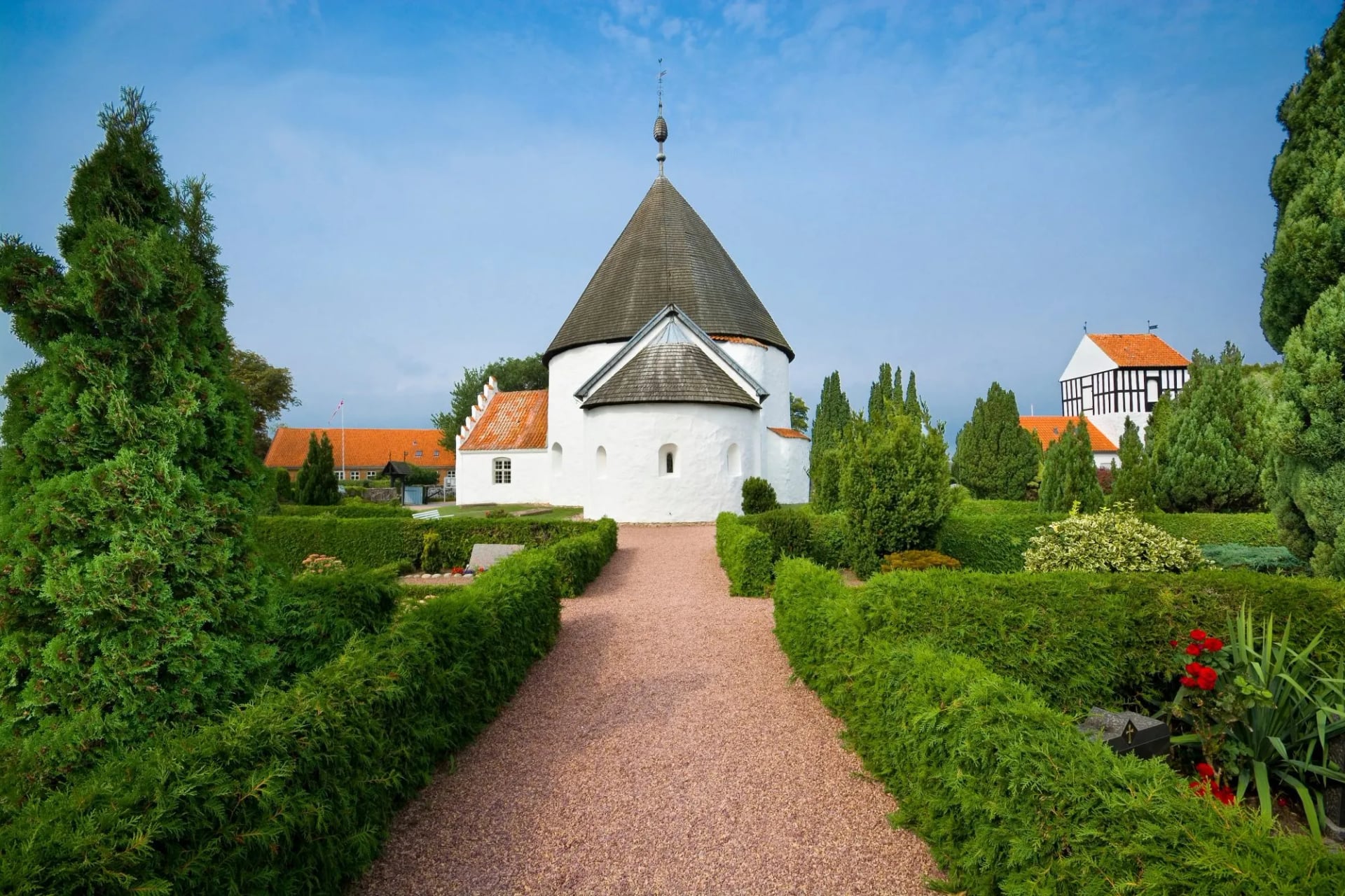
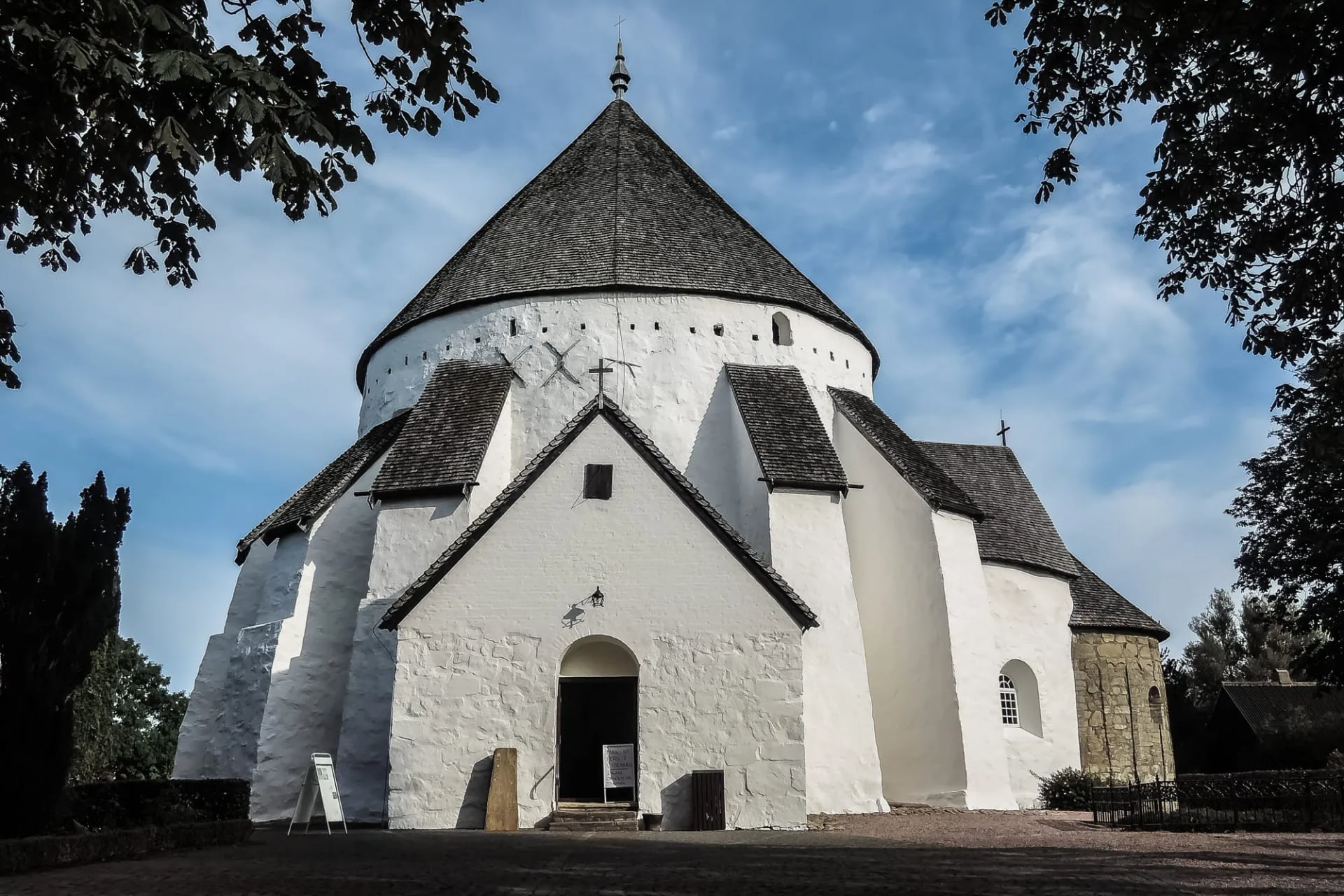
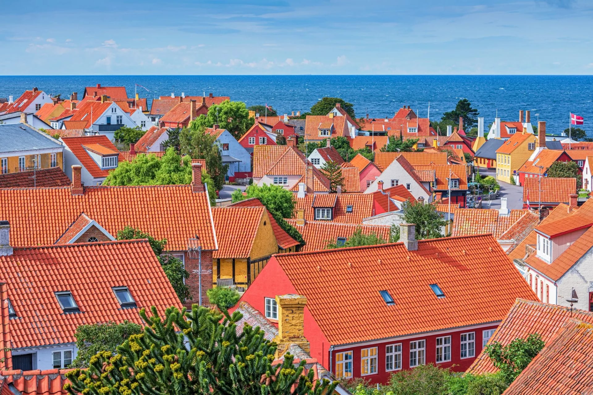
It passes Hammershus, the largest medieval fortress in Scandinavia, the round churches that are a local peculiarity, and the craft towns of Gudhjem and Svaneke. The northern half is the hard half, and it is also the half people remember.
The round churches are worth the small detour each time. The island has a handful of them, whitewashed and circular with walls built thick enough to hold a siege, and they were refuges before they were landmarks.
Footwear earns its keep on those northern stretches, where the path crosses open rock and the surface swaps from gravel to granite and back inside a kilometre. Everywhere else trainers with grip are enough, which is not something you can say about most European long-distance routes.
Osterlars is the oldest and strangest of those round churches, and the runestones set into its walls put a date on the island's Christian conversion. The upper storey was a defensive gallery, reached from inside, which is not a normal thing to find in a parish church.
Camønoen on Møn
Camønoen runs 175 kilometres around Møn, Nyord and Bogø in twelve stages, and it is the one trail here built around being easy to join rather than hard to finish. Water stations, benches and bus stops sit at intervals the whole way, so a day can start and end wherever the timetable suits you.
Its own organisers call it the kingdom's friendliest walking route, and the claim is backed by something unusual: an accessible version of the Camøno map follows the original line with small adjustments and routes 23 of the nature and culture stops to people arriving by car, by bike or in a motorised wheelchair. No other Danish long trail publishes that.
The walking is gentle until Møns Klint, and the cliff deserves time rather than a walk past. The chalk is around 70 million years old, built from the shells of microscopic algae that lived in a shallow tropical sea, and glaciers folded it into its current shape at the end of the last Ice Age.
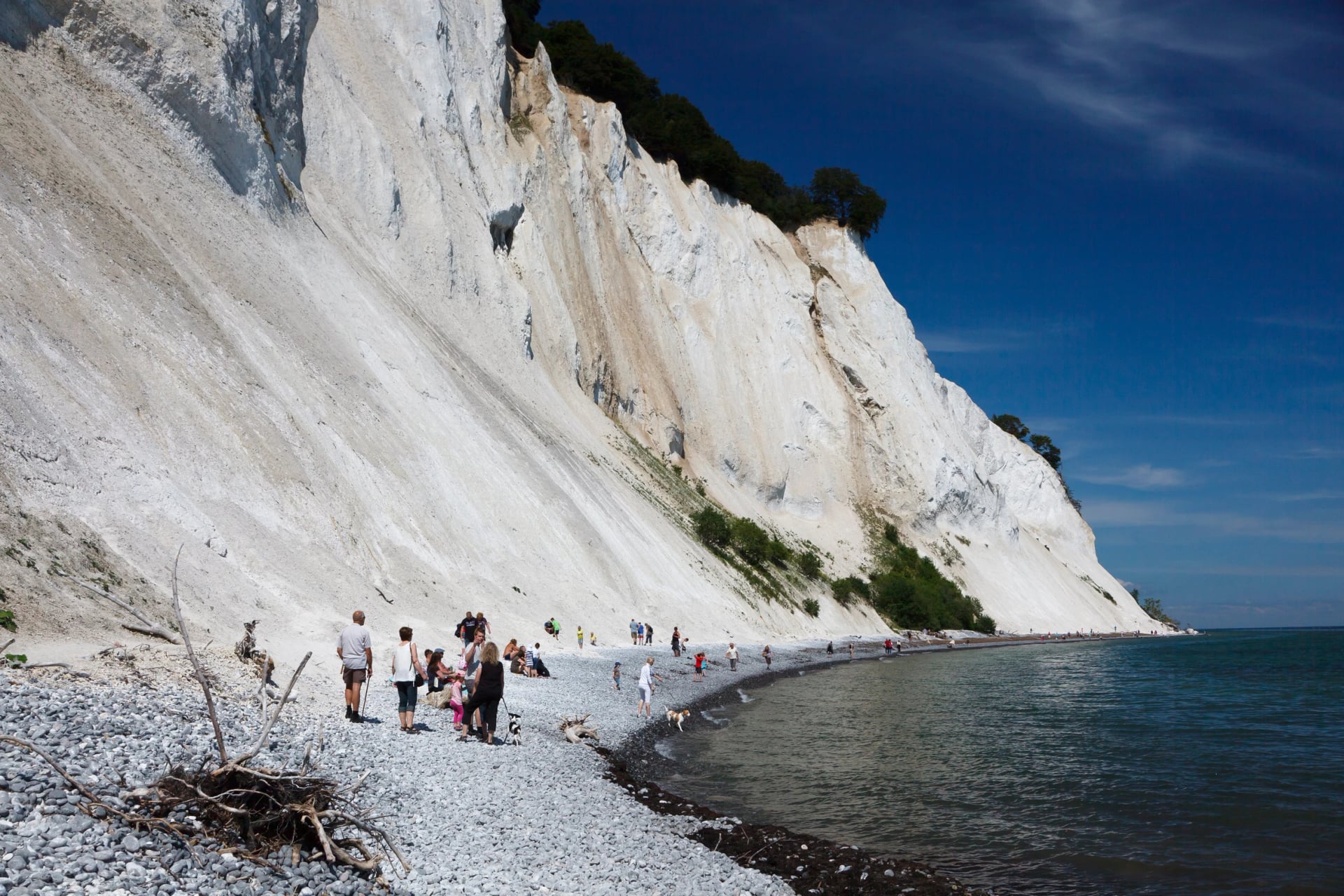
It reaches 128 metres at Dronningestolen and it is still eroding. A significant rockfall in 2007 dropped part of the cliff into the sea, which makes the beach below a real fossil hunting spot, and sea urchins and belemnites turn up after storms. In July 2025 Møns Klint was inscribed on the UNESCO World Heritage List.
Plan for after dark as well. Møn and Nyord were certified in 2017 as the Nordic region's first International Dark Sky Park and Community, and the lighting controls are strict, so a clear night shows several thousand stars against roughly a hundred from central Copenhagen.
Pick Camønoen if you want a long walk that never commits you to a long day. The twelve stages are designed to be taken in any order and any number, which is the opposite of how the Kyststien works.
Øhavsstien in South Funen
The Archipelago Trail covers 220 kilometres from the village of Faldsled, across South Funen to Lundeborg, down to Svendborg and over Tåsinge to Langeland, with a ferry link on to Ærø. Walked end to end it takes around eleven days, broken into seven official stages.
The distinguishing fact is in the Danish name for it. Øhavsstien is a trampesti, a path reserved for walkers, so you share almost none of it with bikes or horses. On a flat country where most long routes run on gravel service roads and quiet tarmac, that is rarer than it sounds and it changes the surface underfoot for the better.
It is also the only trail on this page where the ferries are part of the route rather than a way of reaching it. Island hopping between Funen, Tåsinge, Langeland and Ærø means timetables matter as much as daylight, and a missed boat is a missed stage rather than an inconvenience.
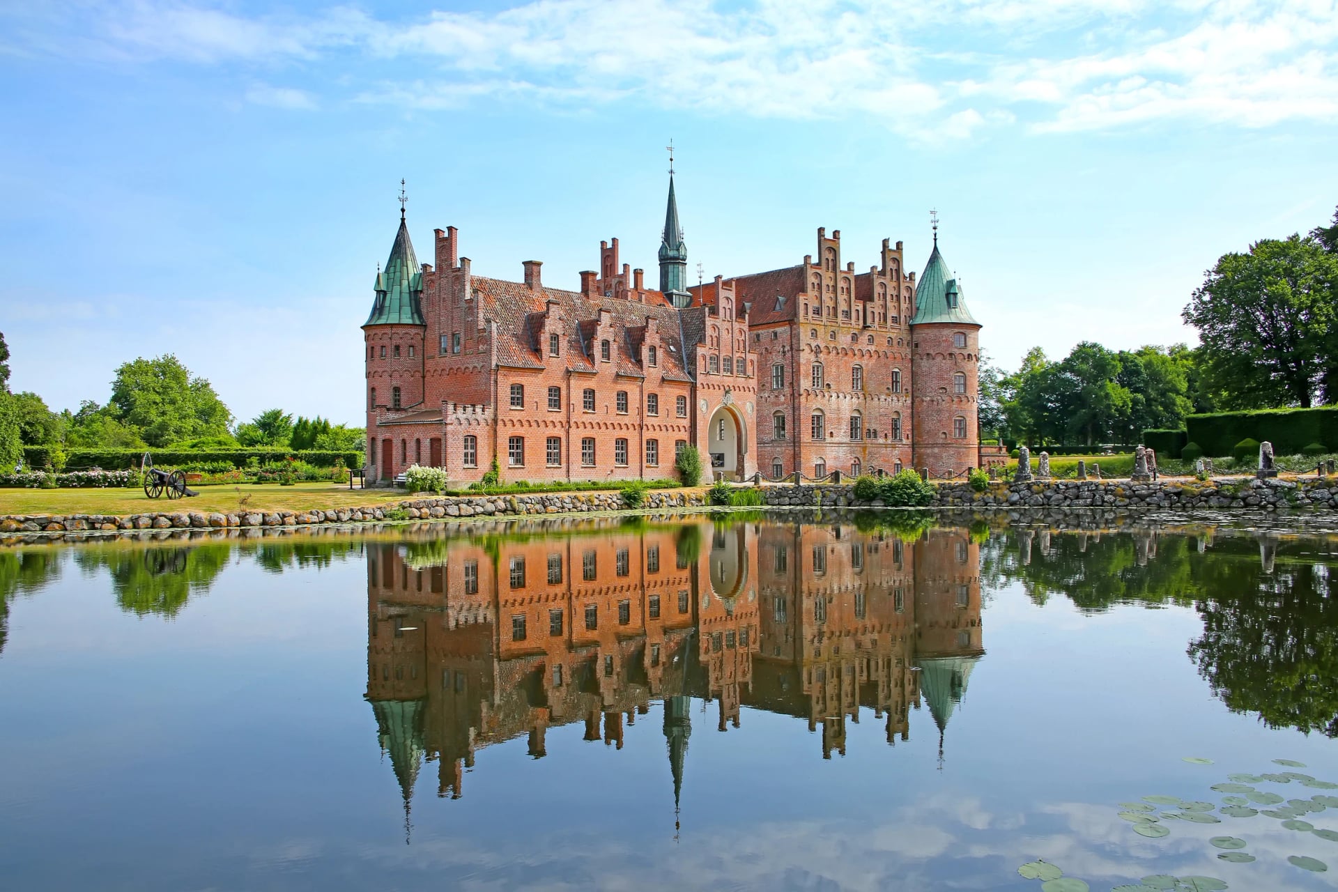
Svanninge Bakker, the moraine hills behind Faaborg, get called the South Funen Alps, which is optimistic by any standard but does tell you where the climbing is. Egeskov, the moated castle that is the area's best known landmark, sits inland from the trail. The opening stage from Faldsled to Faaborg runs 39 kilometres and is the longest on the route, so most walkers split it rather than take it whole.
Choose this one for the water views and the villages. It is the prettiest of the five and the least demanding to walk, as long as you can read a ferry timetable.
Gendarmstien
Gendarmstien follows the foot patrol route of the old Danish German border gendarmes for 84 kilometres from Padborg to Skovby on Sydals, and it holds the water almost the whole way along Flensburg Fjord. It is signposted in both directions, which is worth knowing because the wind decides which way round most people walk it.
Five named day stages make the planning simple: the Mountain, Brick, Kragesand, Beach and Mill stages. Four or five days covers the route at an ordinary pace.
The operational truth is in the climbing, or the lack of it. The whole 84 kilometres gathers somewhere under a thousand metres of ascent, which means a trail that looks coastal and rugged on the map walks like a long towpath with views. Anyone stepping up from day walks will find this the easiest of the five to commit to.
What it has that the others do not is the border itself. The gendarmes patrolled this coast watching the frontier and the shipping on it, and the path still traces that line past customs houses, fjord villages and the beach stretches between them. The history here is recent enough to be legible rather than archaeological.
Primitive campsites and shelters sit along the route for anyone carrying their own kit, and small guesthouses cover the rest, so it works as a wild camp or as an inn to inn walk without changing the line.
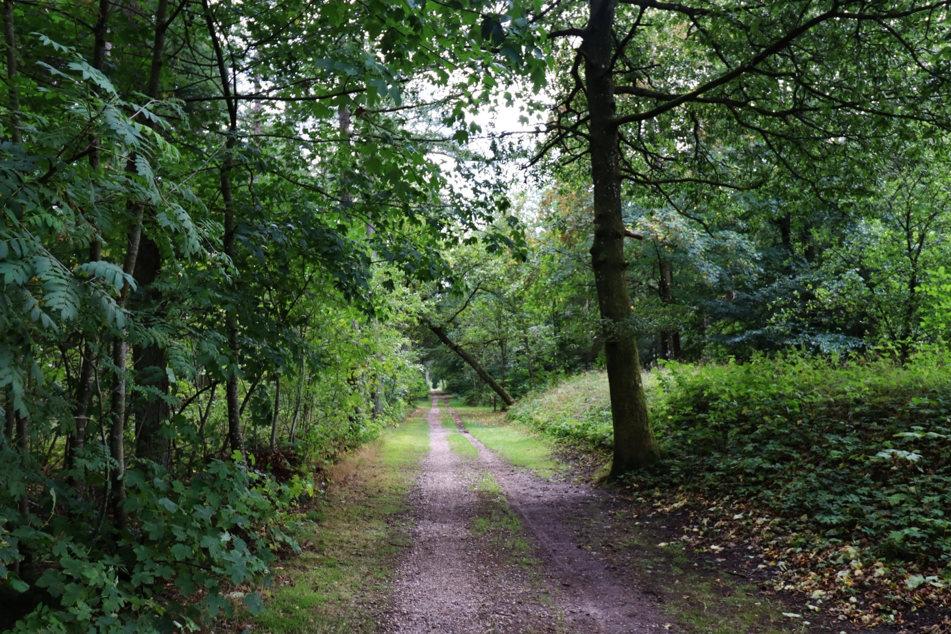
Hærvejen is the old army and pilgrim road down the spine of Jutland, and it is not a single trail at all. The official network runs to more than 600 kilometres across 40 separate hiking routes, with a further 450 kilometres of waymarked cycling in 19 routes laid over much of the same ground.
Nobody walks the lot, and the route is not designed for it. Most people take one inland section of three to five days and treat the rest as a map of options, which makes this the trail to pick when you want to build a walk rather than follow one.
It is also the only route on this page that leaves the coast. Denmark walked inland is burial mounds, Iron Age farmsteads, heath and plantation, and the road holds the high ground down the middle of the peninsula, which is why an army road and a pilgrim route ended up on the same line.
The network counts more than 400 historical sites along its length, so the walking is paced by what you stop at rather than by distance.
Take Hærvejen if the sea is not the point. It is the quietest of the five and the only one where you can walk a full day without seeing water at all.
Bornholm is the route we operate, and the only one of these that closes a full loop on a single island. Every stage of it, with the real distances and the one day that carries all the climbing, is in our Bornholm hiking guide.
Our Bornholm Coastal Trail takes nine days around the island, sleeping in the harbour towns the trail runs through and finishing back where you started. Baggage transfer and a digital guidebook are included, so you carry a day pack and the accommodation is already booked when you arrive.
How Hard It Is
Technically these are among the easiest long trails in Europe. There is no scrambling, no exposure, and daily ascent rarely reaches a few hundred metres even on the granite sections of Bornholm. Paths are consistently waymarked and route-finding is almost never the problem. Our hiking difficulty guide explains how we grade them.
What the country asks for instead is stamina and weather tolerance. Daily distances of 15 to 20 kilometres are normal, the surface can shift from firm gravel to soft sand inside a single stage, and soft sand costs more than a hill.
Then there is the wind. Coastal stretches on the west coast and the exposed parts of Bornholm and Møn are flat and open, so a headwind turns a 15 kilometre day into something considerably longer than the map promised. Pack a real windproof layer even in July.
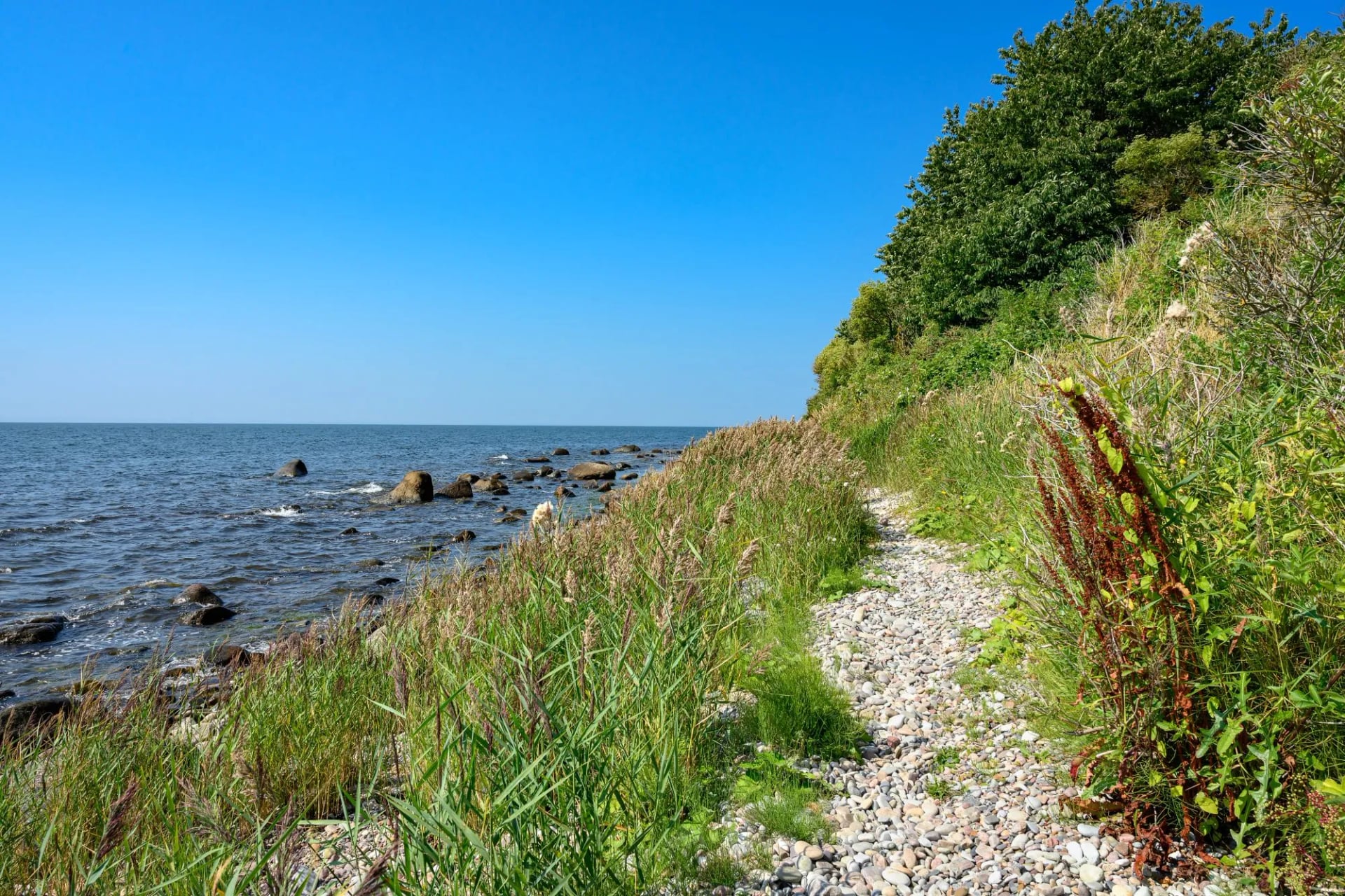
Denmark suits walkers who want a physically manageable multi-day trip with varied ground, rather than anyone chasing altitude. Nothing here tests your legs the way an alpine week does, and that is the entire point of coming.
Denmark's no-mountains reputation comes with a very Danish footnote: for over 150 years nobody could agree which hill was actually the highest. Himmelbjerget held the title until 1847, then Ejer Bavnehøj took it, then in 1941 Yding Skovhøj was found to be taller thanks largely to a Bronze Age burial mound on its summit.
The argument was not settled until a government survey in 2005 used GPS and boreholes through the mounds themselves and crowned Møllehøj at 170.86 metres, beating Yding Skovhøj's mound-free height by nine centimetres. Locals still argue. Himmelbjerget, the hill everyone associates with height, comes eighth.
When to Go
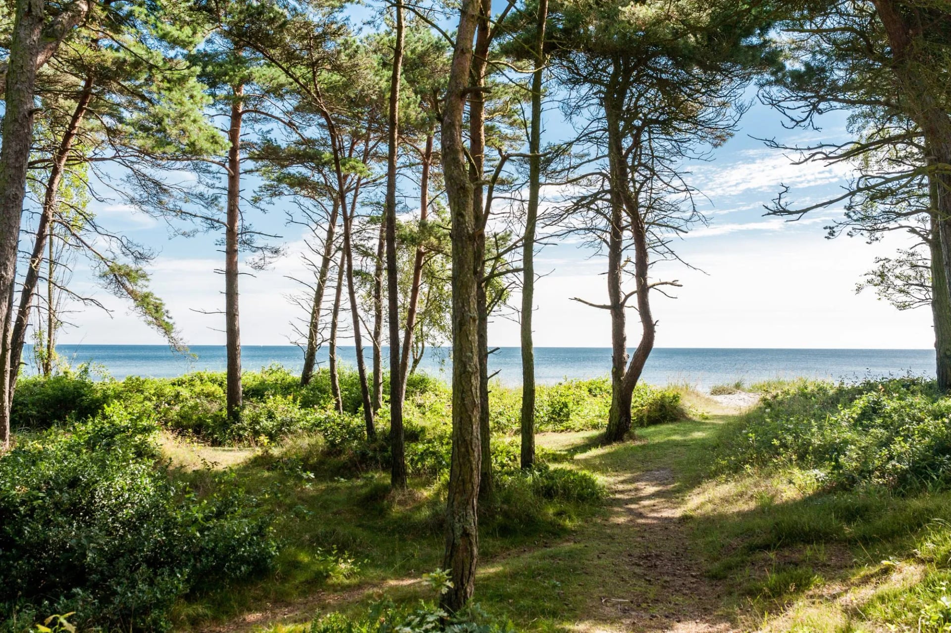
Late spring through early autumn, roughly May to September, is the reliable window. Days are long, temperatures sit comfortably in the high teens, and the inns and guesthouses along the trails are all open for the season.
Mid-June to mid-August is the peak: warmest weather, busiest paths, and the accommodation that goes first. Bornholm and Møn book out earliest, and on Bornholm the rooms in the small harbour towns run out in practice rather than on paper.
April, May, September and early October are quieter, still mild, and the better bet if you would rather not share the trail. From November to March the small inns shut for winter and temperatures drop below freezing, which ends the inn-to-inn walking rather than merely spoiling it.
Numbers Worth Planning Around
July and August highs sit around 21 to 22 degrees and fall to 13 to 15 overnight, so evenings out here are pleasant rather than balmy. Rain has no off season in Denmark: it falls fairly evenly all year, with August usually the wettest month.
What does swing dramatically is daylight. June gives close to 17 hours of light, more than enough to stretch a 20 kilometre stage without hurrying, while by December the sun is down before four in the afternoon.
If a swim after a hot stage is part of the plan, temper it. Baltic sea temperatures only reach the mid-teens at the height of summer, and the water off the north of Bornholm is colder than the water off the south.
Why Hiking in Denmark Works
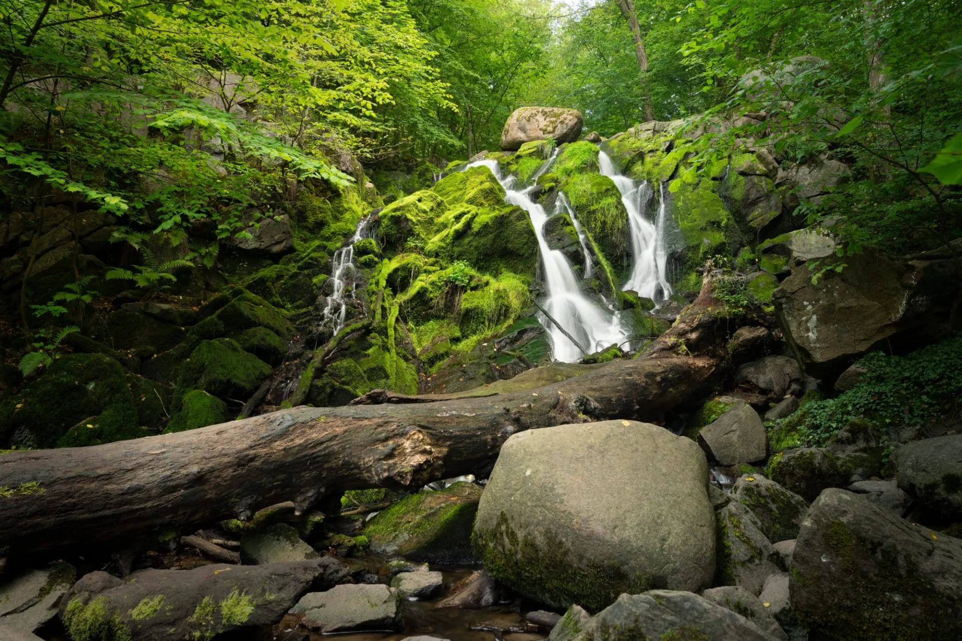
The absence of mountains is the first thing visitors mention, and it is true: Himmelbjerget, the country's most famous hill, tops out at 147 metres. What replaces vertical gain is horizontal variety, and a single week can cross beech forest, heath, salt marsh, working fishing harbours and open coast.
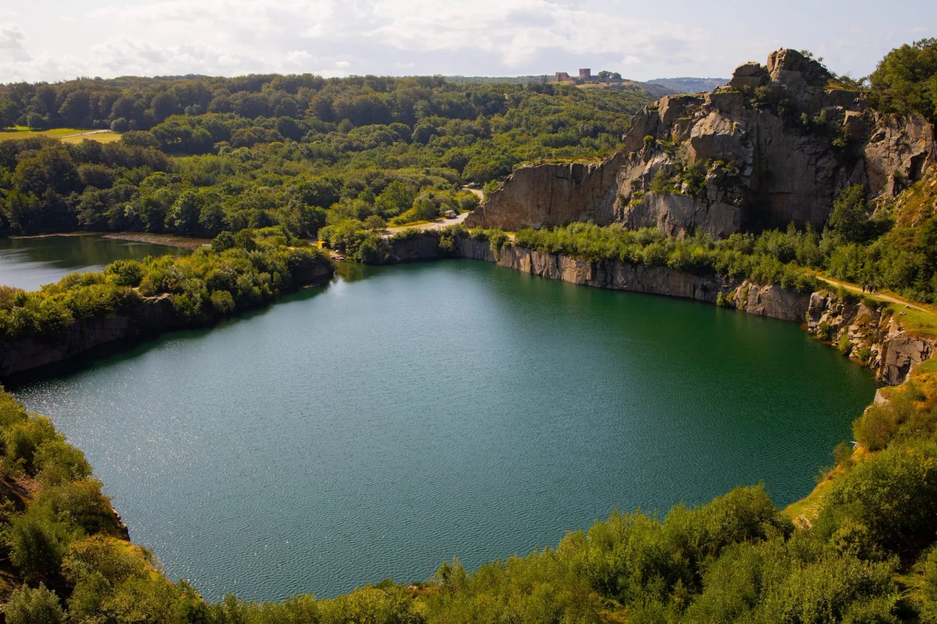
Some of that variety is industrial rather than natural. The granite that makes the north coast hard walking was cut and shipped as building stone, and Hammerbruddet above Sandvig worked from the 1880s until 1971 before it was abandoned. The pit filled with water, which is why an inland detour here can put you beside a lake walled in by cliffs.
Moseløkken, a little further on, is the last working quarry in the north of the island. Its stone went to Copenhagen, where the entrance to the Christiansborg parliament building is built from it, so the rock underfoot is Copenhagen's doorstep.
The islands are the other half of it. Bornholm, Møn, Funen and Als each have their own geology and their own dedicated trail, so a trip here gets built around one landscape rather than a generic country tour. Granite on one, chalk on the next.
That is also why the five routes do not compete with each other. Walking two of them in one holiday gives you two different countries, which is a strange thing to be able to say about somewhere you can drive across in a morning.
Where You Sleep
Most of these trails are set up for inn-to-inn walking rather than camping: small hotels, guesthouses and bed and breakfasts in the villages along the route, with your bag moved ahead if you book self-guided. The rooms are the constraint, not the walking.
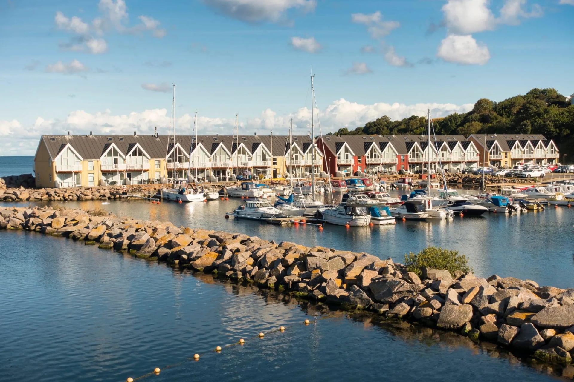
Wild camping is not generally permitted, though there is a well-developed network of designated shelters and campsites for anyone carrying their own kit. Camønoen has the best shelter network of them all, split between municipal shelters you take as you find them and Nature Agency shelters you book ahead.
You need no permits for any of these routes. The real planning points are booking beds early in peak season and checking ferry timetables where the route crosses to an island, which several of them do.
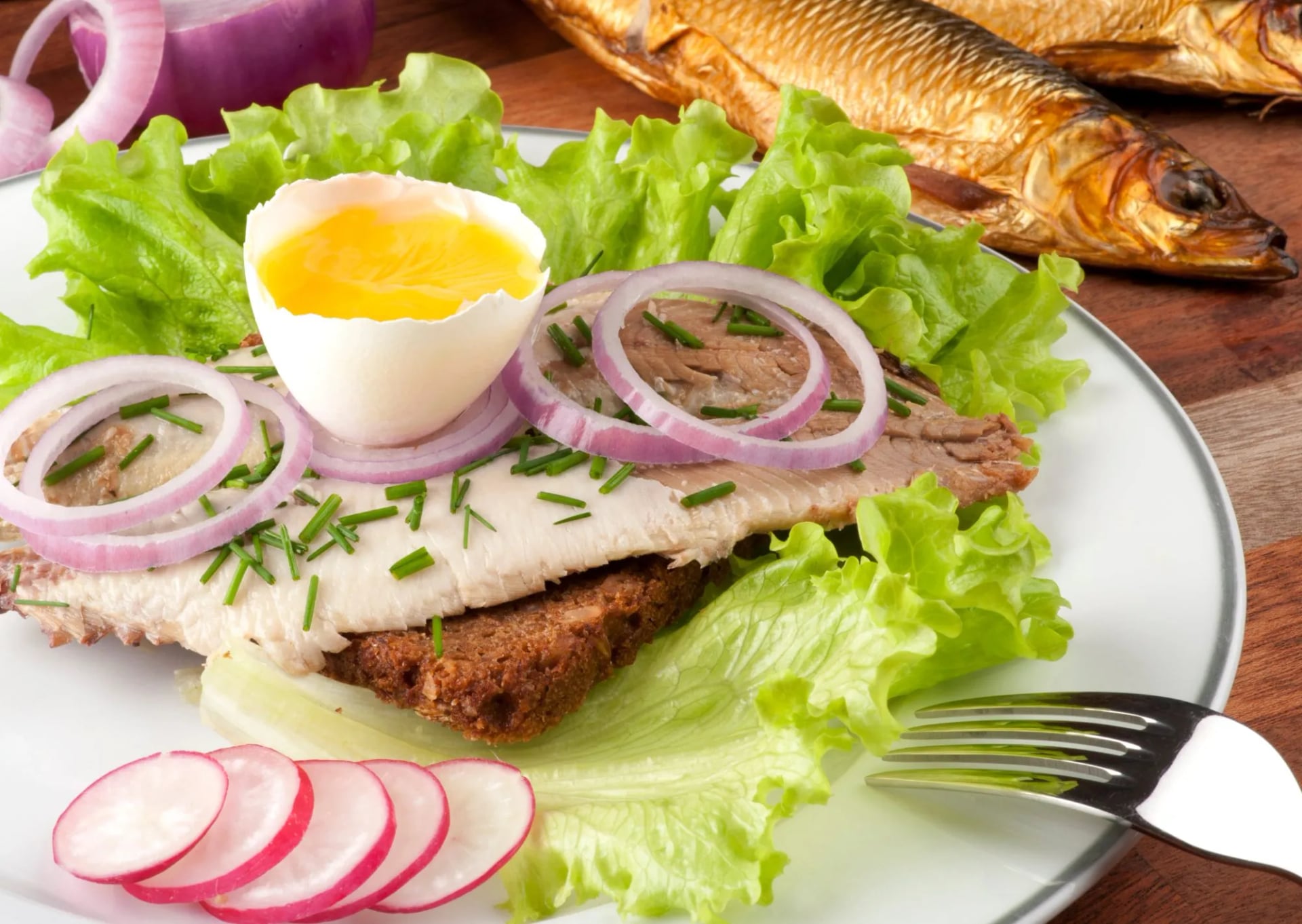
Eat what the coast does rather than what the hotel offers. Bornholm still runs working smokehouses along the trail, and sol over Gudhjem is the dish to order: smoked herring on rye with a raw egg yolk, radish and chives, named after the sun over the town it comes from.
Getting There
For Bornholm the crossing is the interesting part, and there are three ways to do it. The fast ferry from Ystad in Sweden reaches Rønne in 1 hour 20 minutes, and with the train over the Øresund bridge from Copenhagen the whole journey from the city centre runs to under three hours, which is quicker than almost anyone expects of a Baltic island.
Sailings run three to six times a day out of season and up to ten a day in high summer, so the crossing rarely dictates your plans. The slower ropax boats take about two and a half hours on the same route and carry cars, which only matters if you are driving to the trailhead rather than walking from the harbour.
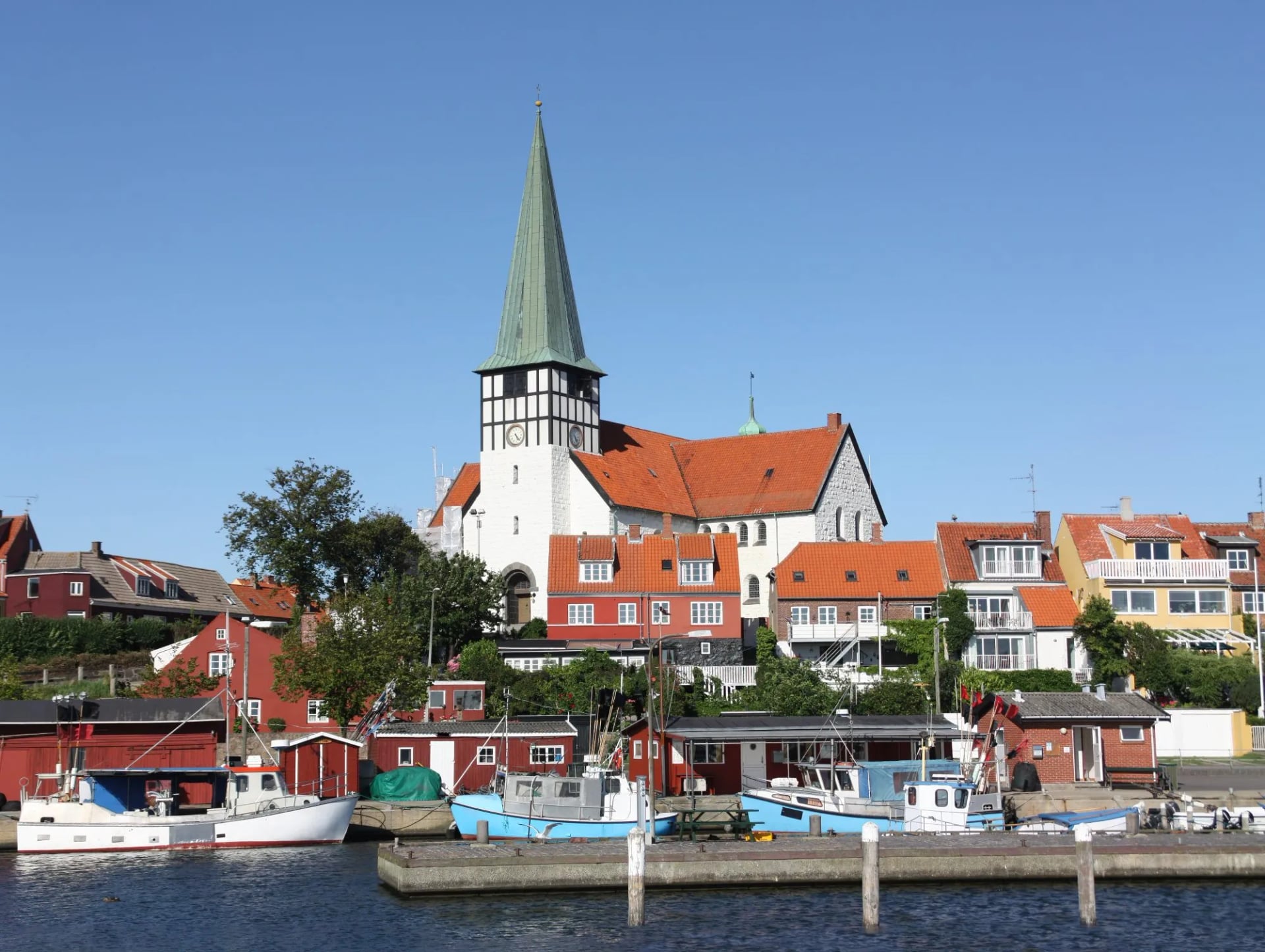
The alternative is the overnight boat from Køge, south of Copenhagen, which takes 5 hours 30 minutes and sails at half past midnight to arrive in Rønne at six in the morning. It is the option that never leaves Denmark, and it doubles as a night's accommodation if you book a cabin.
That arrival time is worth thinking about. Six in the morning puts you at the start of the loop with a full walking day in hand, which is either efficient or brutal depending on how you sleep at sea. Check the current Bornholmslinjen timetable before committing to one.
Bornholm also has its own airport just outside Rønne, a short bus ride from the harbour, which turns the whole approach into a 35 minute flight from Copenhagen. The mainland trails are simpler: Møn, Funen and the Jutland routes are all reachable by train and regional bus, and Gendarmstien starts at Padborg on the German border.
Maps and Navigation
Waymarking is good enough that most walkers never open a map in anger, but download one anyway. The Danish Nature Agency carries the official routes and the facilities along them, shelters and water points included, filtered by region.
Each of the big trails also runs its own mapping. Hærvejen has an official app for its 40 routes, Camønoen sells a printed map and a stamp passport that works as a keepsake, and the Kyststien is marked stage by stage on the ground around Bornholm.
Book self-guided and the navigation is handled for you: route notes, a digital guidebook and GPS tracks for every stage, which is the difference between reading a map and checking one.
What to Pack
The list is short because the terrain is kind. Wind and rain decide what matters here rather than weight or altitude.
On your feet. Trainers or trail shoes with grip handle most of the distance. The surface is beach, forest track and tarmac far more often than rock, and only Bornholm's granite asks for something sturdier.
A windproof and waterproof shell. The most useful thing in the bag. The exposure here is horizontal rather than vertical, and on an open coast there is rarely anything to duck into.
Layers for the wind. A midlayer and a warm hat. The sea keeps the air cooler than the temperature suggests, and these trails rarely leave the coast for long.
A daypack. On an inn to inn week with the bags moved ahead you carry only the day: water, lunch, a shell and a camera.
Sun cover. Sunglasses, sun cream and a cap. The coast gives no shade and the summer days run very long this far north.
A dry bag. For a phone and a camera when the rain sets in properly, and against sand and spray on the beach stretches.
Water and food. The Nature Agency's map marks the water points along each route, and the trails pass towns often enough that nothing has to be carried far.
If you are using the shelters. A sleeping bag and a mat. The designated shelter sites are unstaffed, and Camønoen has the best network of them.
Know Before You Arrive
Denmark is an easy country to arrive in and a slightly odd one to walk in, because the rules about where you may put your feet are more specific than the landscape suggests.
Money and Payment
Denmark keeps the Danish krone and is not in the euro area, so euros are not everyday currency here and changing them is a chore rather than a plan. Cards work almost everywhere, including village bakeries and most of the small ferries, and MobilePay covers the rest. A week on any of these trails can be walked without cash, with the exception of the occasional honesty box at a farm stall.
Where You Are Allowed to Walk
This is the one that catches people out. In state forests, the ones the Nature Agency manages, you may walk anywhere on foot and at any hour. In privately owned forest you may walk only on the roads and paths, and only between six in the morning and sunset. Beaches are open to walk along almost everywhere.
Every one of these five routes crosses both kinds of ground, so the practical version is this: stay on the waymarked line once you leave state land, and do not plan a pre dawn start through private woodland.
Plugs, Phones and Emergencies
Danish sockets are Type K at 230 volts. A European two pin plug fits them, a British or American one does not, so bring an adapter. The emergency number is 112 and covers police, fire and ambulance.
Planning Between Stages
Rejseplanen lists every bus, train and ferry in the country in one timetable. It matters most on Øhavsstien, where the boats are part of the route rather than a way of reaching it, and on Camønoen, where the bus is how you cut a long day short.
Frequently Asked Questions
Planning Your Walk
What ties these routes together is how differently each one uses the same flat coast. Granite on Bornholm, chalk on Møn, salt marsh on the border, burial mounds inland through Jutland. None of them is an alpine trek, and together they cover a surprising amount of ground.
If the loop around Bornholm has your name on it, get in touch and we will put the dates together.

About this author
Suzana is our travel advisor and a hiker who believes the best trails aren't just about the summits. She loves spotting alpine plants, watching wildlife, and the laughs, chats, and snack breaks that make every trail worth walking.














.jpg&w=828&q=75)













































.jpg&w=828&q=75)























