GR131 Gran Canaria: Hiking from Dunes to Cloud Forest
Golden dunes, Canary pine, laurel cloud forest at 1,890 m and a fishing-village finish, all walkable in January. Here's how to plan the GR131 on Gran Canaria.

Ajda
Published September 4, 2026
Edited September 4, 2026
13 min read
Quick links
Don't want to read all this?
We've planned 2,000+ hiking trips. Send your dates, fitness and group size — we'll map the route and book every night.



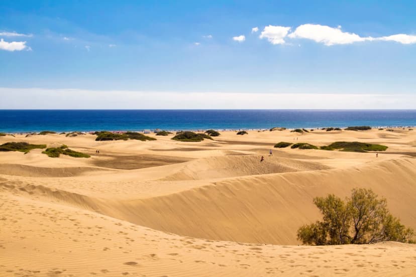
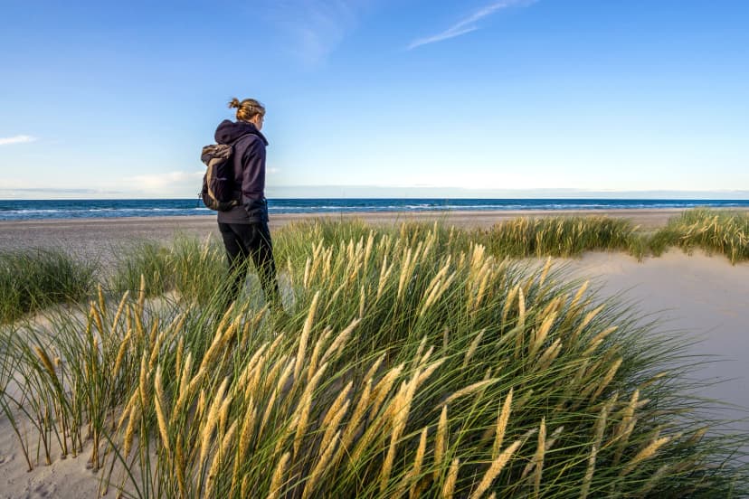
The GR131 across Gran Canaria feels like an entirely different Spain to what brochures usually show. You walk out of the Maspalomas dune field at sea level, climb through arid barrancos into Canary pine, cross a mountain plateau in Atlantic cloud, and finish on a fishing-village harbor with a swim within reach. It packs six ecosystems into 88 kilometers and five walking days, accessible even in the middle of European winter. It is in fact one of very few long-distance walks on the continent that's easier in January than in July.
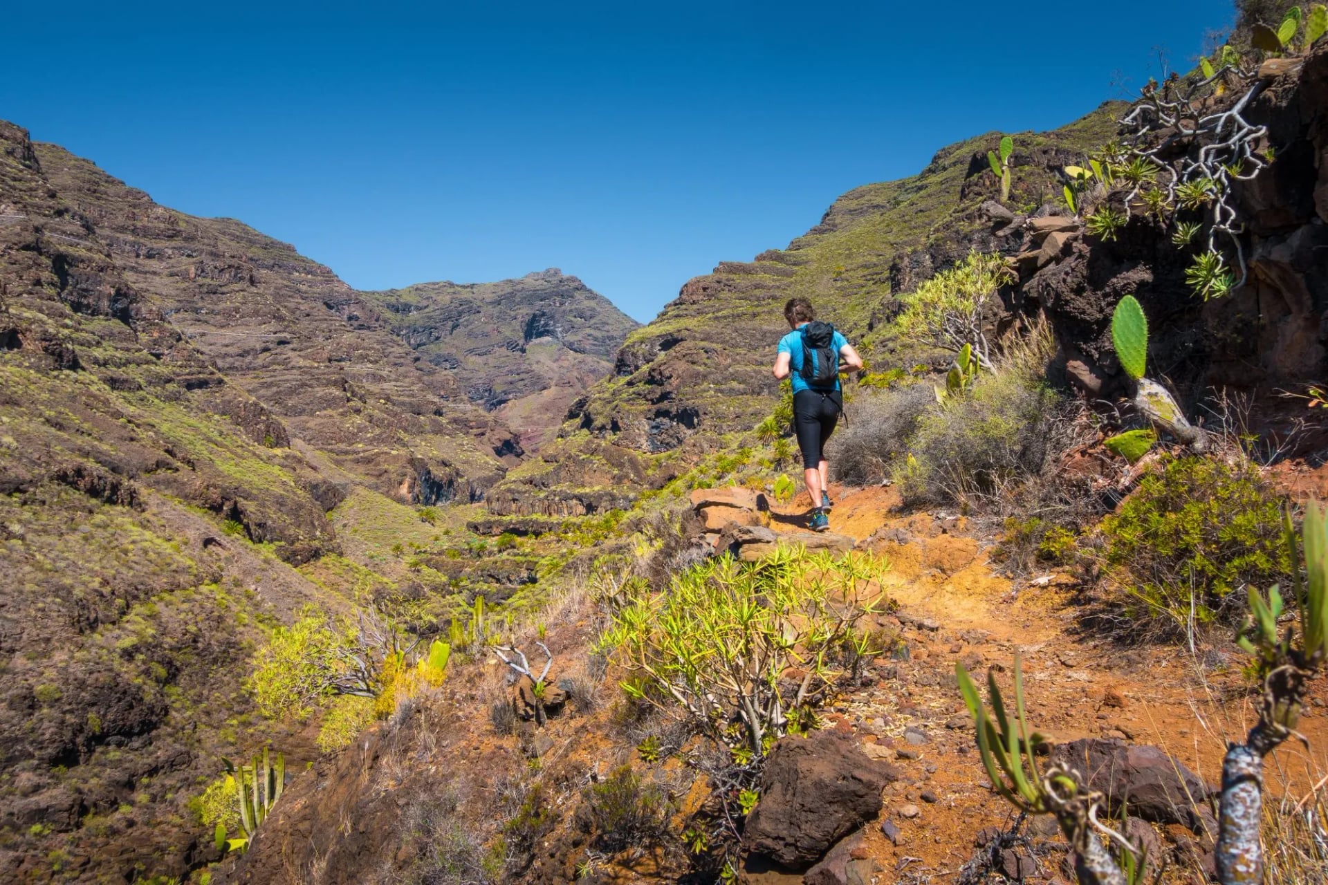
Here's everything you need to know while planning it, from the route and its stages, to the best direction to take, best timing, difficulty, accommodation and getting there.
At a Glance
Distance: ~88 km (~55 miles), coast to coast
Total altitude gain: ~3,860 m, spread across five walking days
Duration: 7 days total (5 walking days plus arrival and departure)
Country: Spain (Gran Canaria, Canary Islands)
Difficulty: 4/5 — moderate to challenging, with no scrambling
Best season: November to March
Highest point: 1,719 m at Degollada de los Hornos
Trail map
What is GR131?
GR stands for Gran Recorrido — Spain's long-distance routes, waymarked in red and white and built to be walked over several days. The shorter PR (Pequeño Recorrido) and local SL (Sendero Local) trails are day walks by design, while a GR links whole regions across anything from tens to hundreds of kilometres. GR131 is one of the hundreds of such routes and among the most popular ones.
GR131 is the Canary Islands' own long-distance route: a single numbered trail that crosses all seven islands, roughly 560 km of walking in total, joined up by the inter-island ferries. Each island is walked as its own traverse, and Gran Canaria's link runs coast to coast from Maspalomas in the south to Agaete in the north-west.
Each day ends in a town or at a refuge. GRs are the backbone of long-distance walking in Spain, with consistent waymarking, official topoguides and signed variants where the main line offers an alternative.
The Route and Its Stages
The GR131 across Gran Canaria is walked in five stages. The tour route and the direction most hikers pick runs south to north, starting at the Maspalomas dunes and finishing at the fishing town of Agaete on the north-west coast. The logic is simple: the biggest climbs come while your legs are fresh, and the final day is a downhill walk to the sea. The trail is marked in both directions and joining or leaving at Cruz de Tejeda mid-trip is straightforward, but a north-to-south walk ends with a hot, exposed descent into the Maspalomas resort belt — which is one of the less scenic finishes to a long walk in Europe.
The 5 standard stages of the trail run roughly as follows:
Maspalomas → Arteara — about 15 km through the Barranco de Fataga, a gentle first day past the Guanche archaeological site at Arteara.
Arteara → San Bartolomé de Tirajana (Tunte) — 24 km, the longest day, climbing from lowland arid country into the mountain interior.
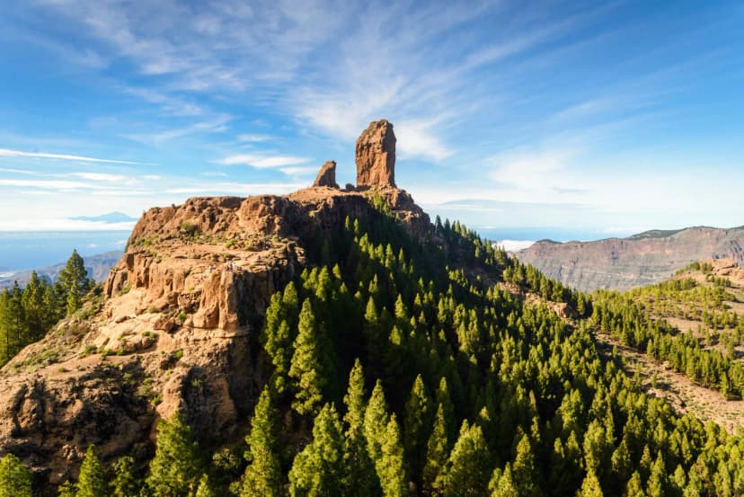
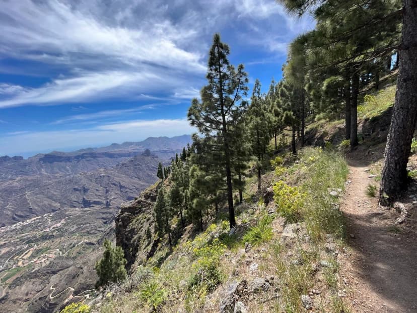
San Bartolomé → Cruz de Tejeda — 15 km through Canary pine to the high point at over 1,700 m, with Roque Nublo in view for most of the day.
Cruz de Tejeda → El Hornillo — 21 km, descending through laurel cloud forest to the north-west slope.
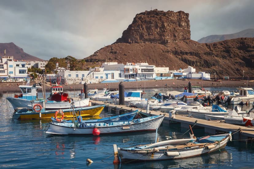
El Hornillo → Agaete — 13.5 km down to the Atlantic and the fishing harbour at Puerto de las Nieves.
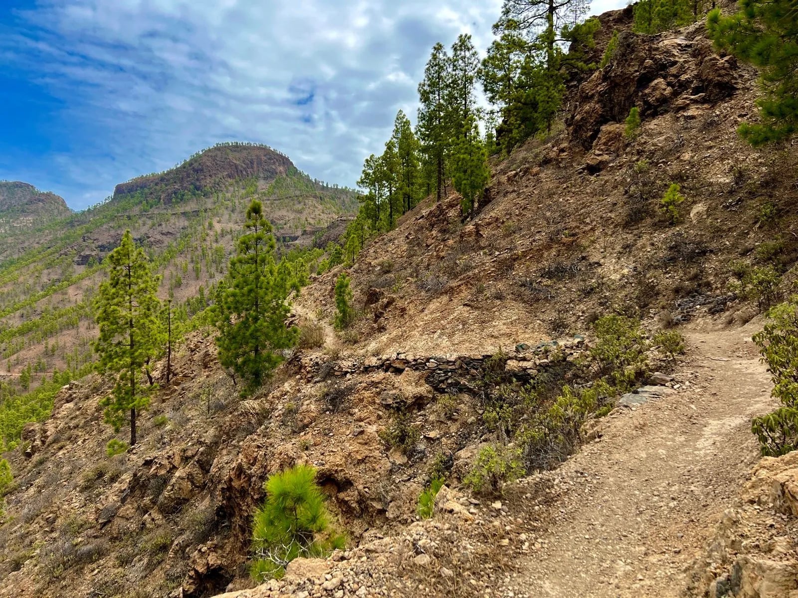
That's roughly 88 km of walking. Exact village stops and stage boundaries vary slightly between itineraries, but the spine of the route stays the same.
If you only have time for a taste rather than the full traverse, the Cruz de Tejeda → El Hornillo stage on its own delivers both the high pine forest and the laurel cloud-forest descent in a single dramatic day.
7 Days on the GR131 Gran Canaria: Full Itinerary
Most people fly into Gran Canaria's Las Palmas airport (LPA) and transfer 30 minutes south to Maspalomas, where the trail begins.
Day 1 — Arrival in Maspalomas
Fly into LPA, transfer to Maspalomas, and settle in on the south coast. The rest of the day is for beach acclimatisation, a walk out to the edge of the dunes, and an early Canarian dinner of sancocho or papas arrugadas con mojo.
Day 2 — Maspalomas → Arteara
15 km · +440 m / −35 m
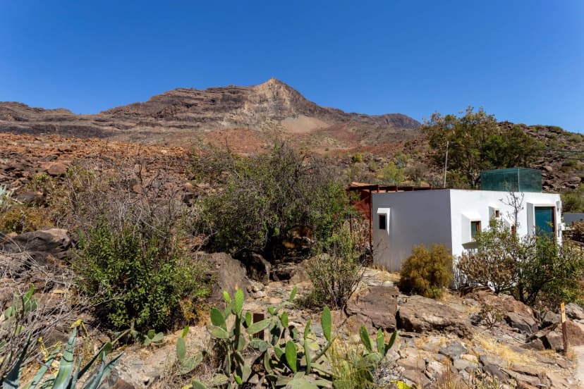
The trek's gentle opener. You leave the Maspalomas dunes behind on packed track and climb steadily up the Barranco de Fataga, a dry canyon lined with tabaiba scrub and prickly pear. The finish is at Arteara, home to a Guanche aboriginal necropolis dating back over 1,500 years.
Day 3 — Arteara → San Bartolomé de Tirajana (Tunte)
24 km · +1,090 m / −560 m
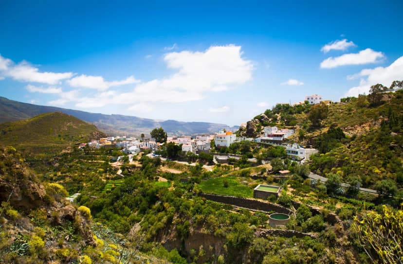
The single longest day and the transition from Canary Islands lowland into proper mountain country. The path threads palm groves, crosses the mountain village of Fataga, and climbs steadily to San Bartolomé (still called Tunte by locals). It's an old town of stone houses at 850 m, colder than the coast, and often clear when Maspalomas is under sea cloud.
Day 4 — San Bartolomé → Cruz de Tejeda
15 km · +990 m / −410 m
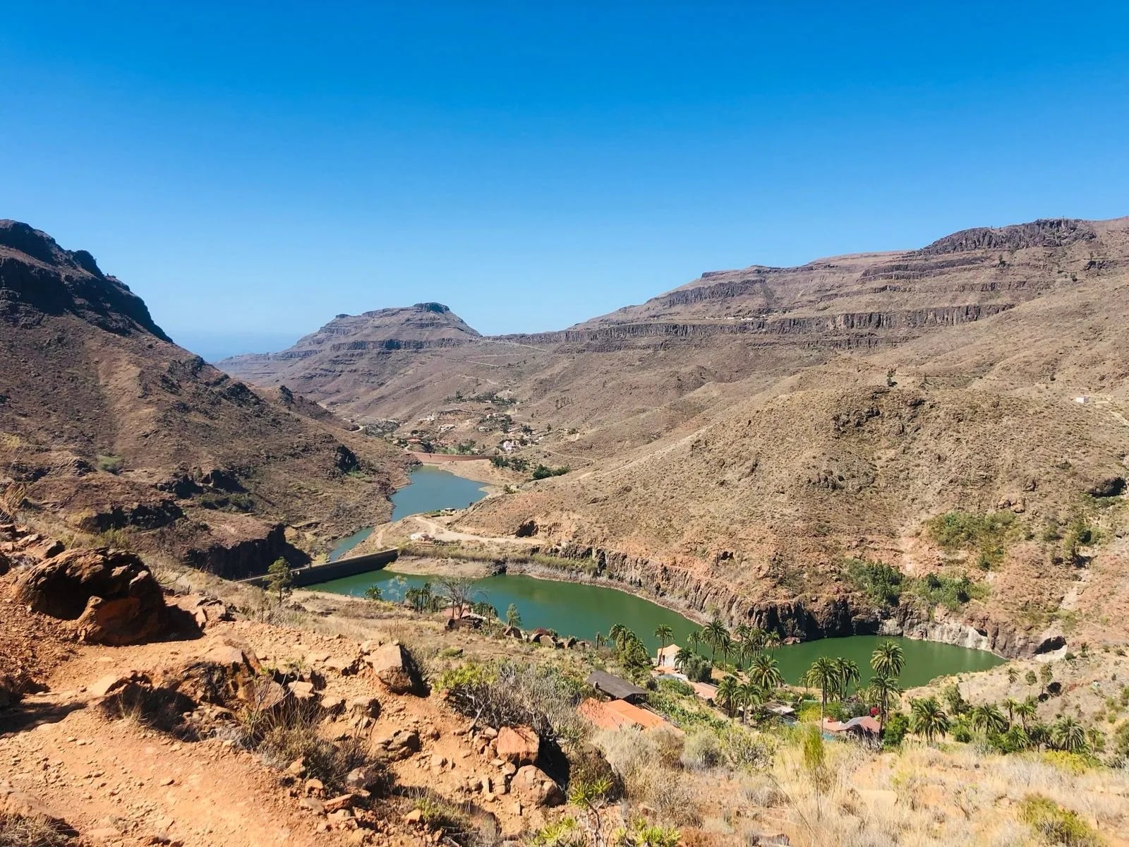
The high point of the trail. You climb through Canary pine forest to Cruz de Tejeda, in the caldera at the heart of the island. Roque Nublo — the 80-metre volcanic monolith on every Gran Canaria postcard — comes into view mid-morning and stays with you for the rest of the day. Overnight at the Parador de Cruz de Tejeda or the smaller hotel rural just below.
Day 5 — Cruz de Tejeda → El Hornillo
21 km · +840 m / −1,600 m
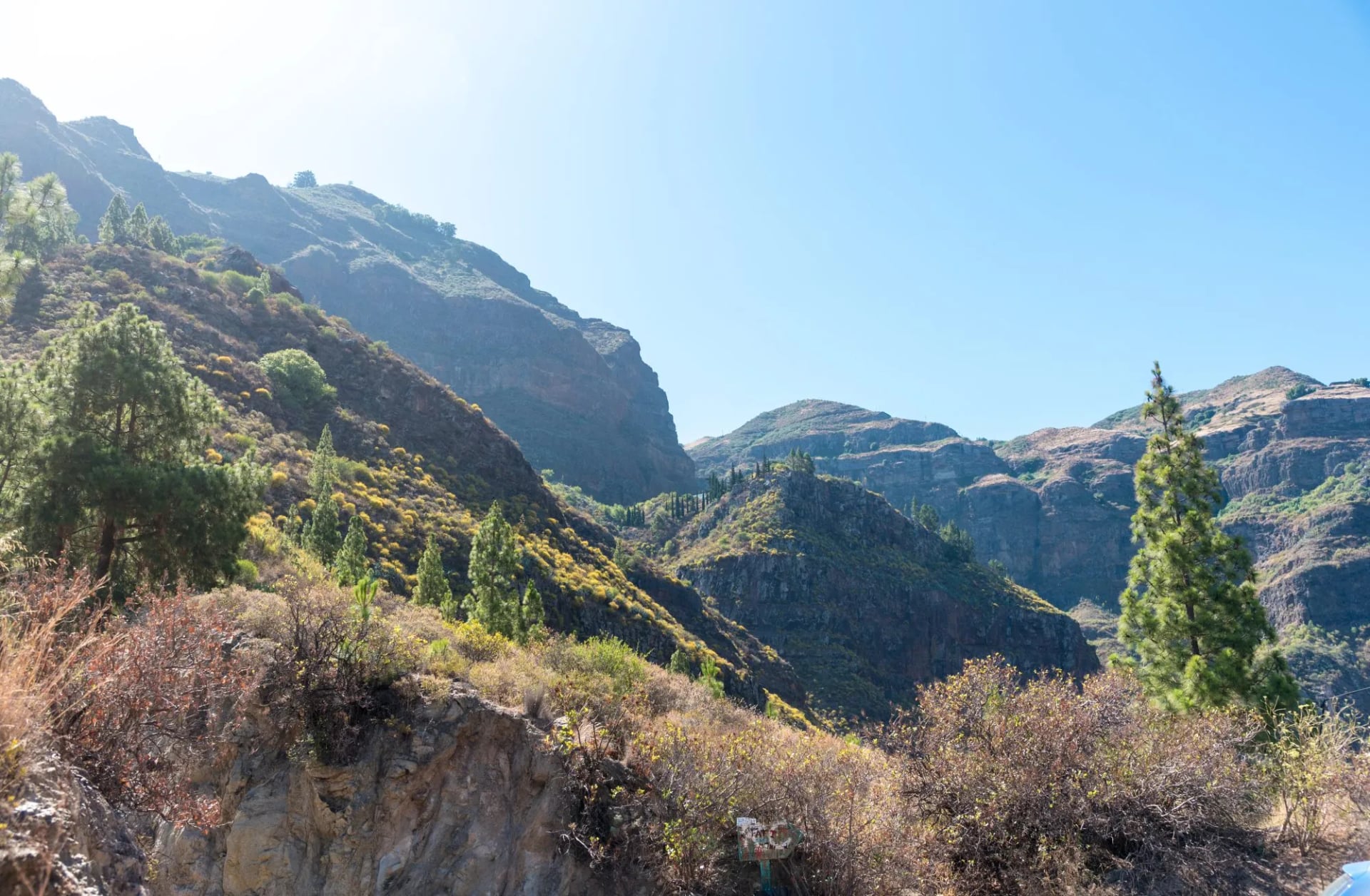
The turning point of the trip. The trail crosses a final morning of high ridge, then drops through laurel cloud forest — the laurisilva, an Atlantic ecosystem more common on La Gomera and La Palma than here — into the small hamlet of El Hornillo on the north-west slope. Hiking poles earn their keep on this descent.
Day 6 — El Hornillo → Agaete
13.5 km · +500 m / −1,250 m
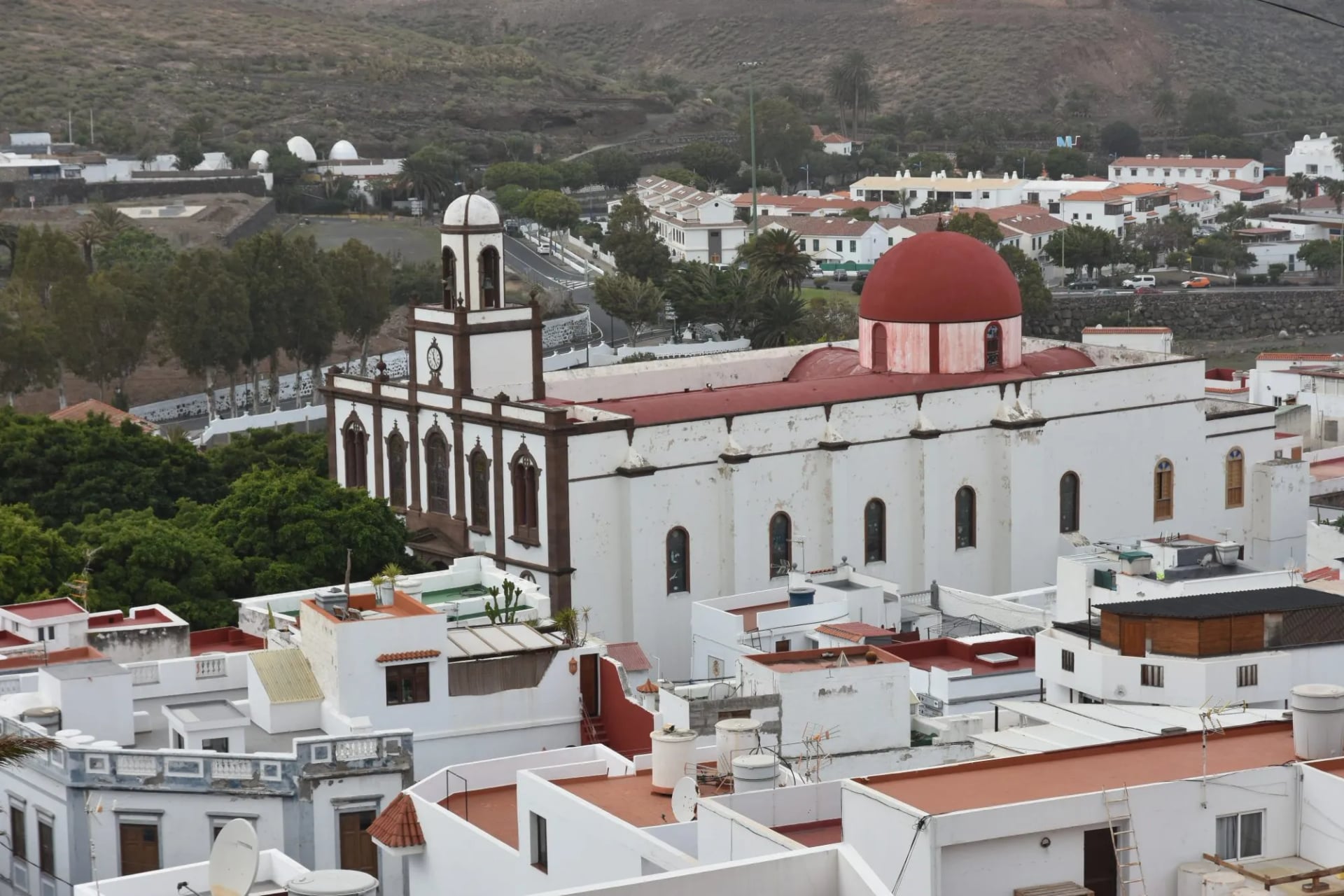
The final walking day drops from the pine belt to the fishing town of Agaete. Views of the Atlantic open early and stay. The descent finishes at Puerto de las Nieves harbour, where the fishing-village restaurants serve salt-cured cherne fish with mojo picón sauce.
Day 7 — Departure from Agaete
The scenic bus back down to Las Palmas — about 45 minutes — where flights depart from LPA airport. If time allows, an hour in Las Palmas' Vegueta old town is a proper end to the trip.
Highlights Along the Way
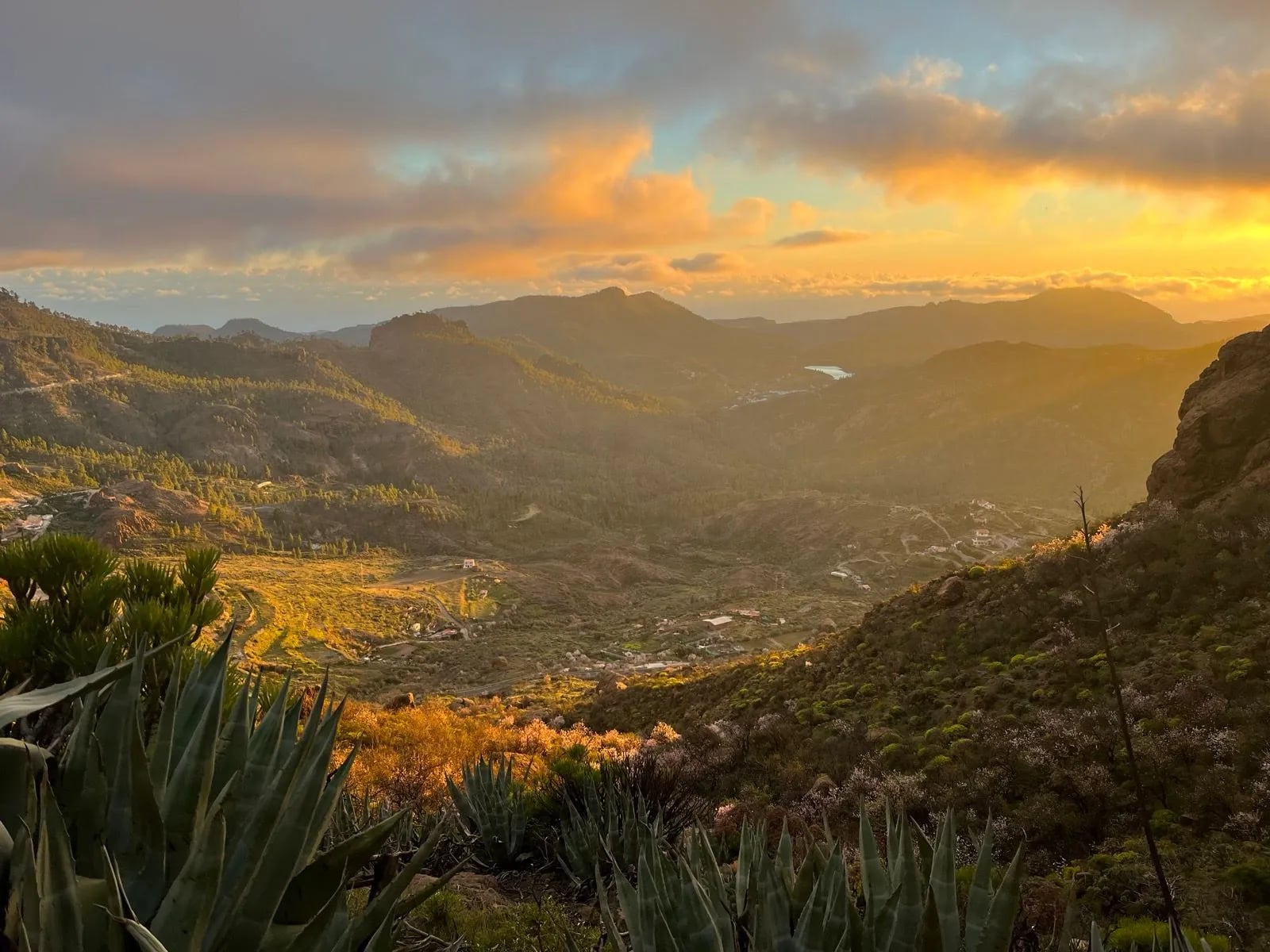
What makes the GR131 across Gran Canaria distinctive isn't any single summit — it's the density of landscape change across a compact walk. Standout moments include:
Strung together over five days, these give the trek the density of narrative most single-island walks lack.
On the Trail: Weather, Water and Waymarking
Weather and the calima
Gran Canaria's mountain interior is normally dry, cool and stable in the winter walking window. The one weather condition worth watching is the calima — a Sahara-dust wind that occasionally blows over the archipelago from the south-east. Visibility drops to a few hundred metres, temperatures spike by up to 10 °C, and the ridge walks become miserable. Calimas rarely last more than 48 hours. If the forecast mentions one at the start of your trip, delay a day or two rather than push through.
Trade winds (los alisios) from the north-east are the everyday weather variable — usually manageable but consistent, especially at Cruz de Tejeda and on north-facing slopes, and they drop perceived temperature by 5–8 °C. Layer accordingly.
Water
Water is the operational rule of the trail. The Canary pine forest offers some shade but no natural water sources — the trail passes public fountains (fuentes) in villages but few between them. Standard practice is to leave each village with two to three litres, refill at the next, and never assume you'll find water on the ridge sections. Mark the fuentes on your GPS before you set out.
Waymarking
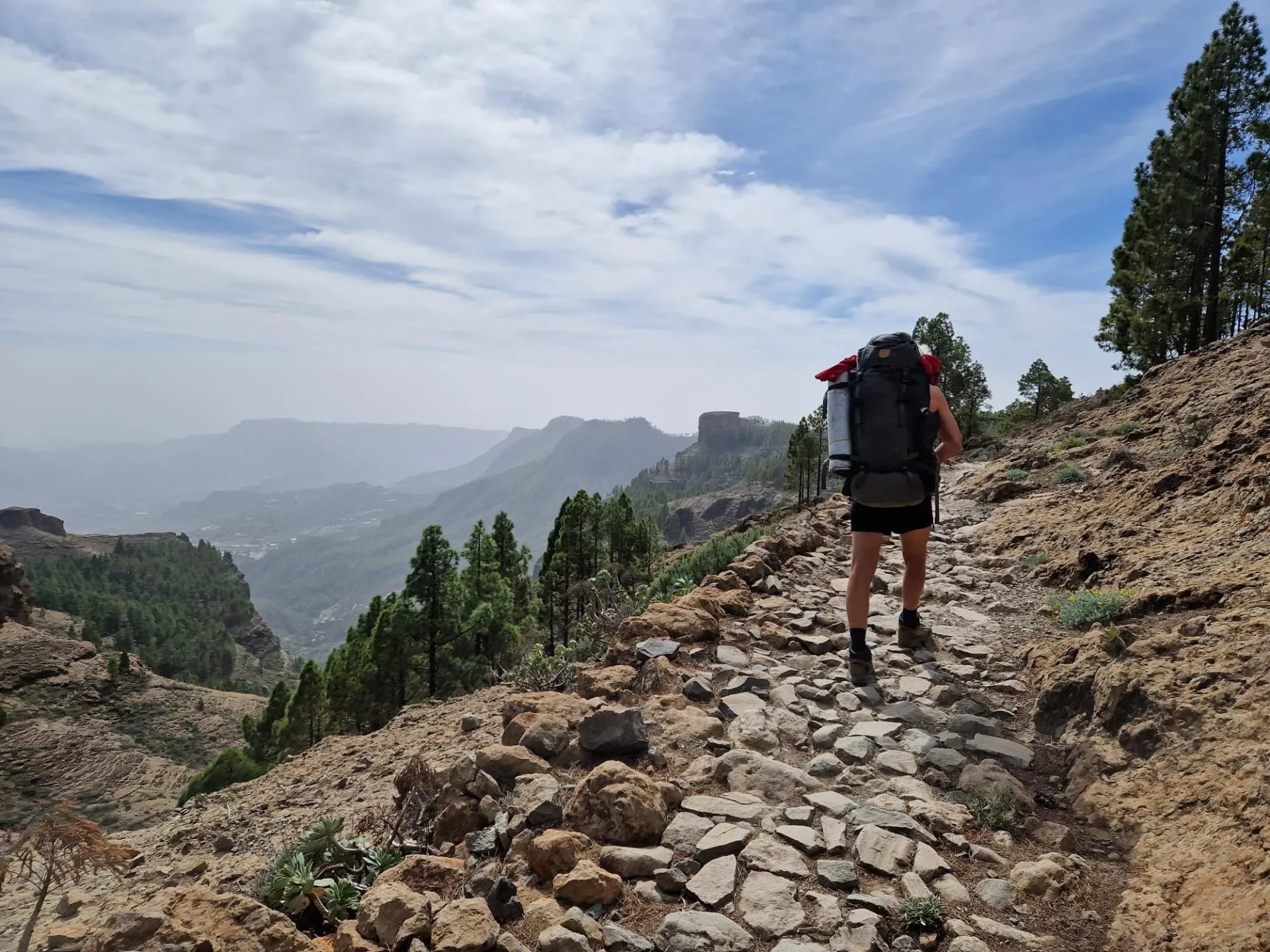
The trail is signed with the standard red-and-white GR blazes and in places it shares waymarking with the island's own Camino de Santiago de Gran Canaria, so you will meet scallop shells and yellow arrows alongside them. Signage is generally reliable but can fade in high wind or sun exposure, especially on the ridge sections between Tunte and Cruz de Tejeda. A downloaded GPS track, a paper backup, and a charged power bank are non-negotiable — mobile signal is patchy in the interior.
Other practical tips
Restaurants keep Spanish hours (lunch 2–4 pm, dinner from 8 pm) so plan food accordingly, especially at El Hornillo where the single village restaurant closes early in the low season.
Sun cream is essential in every month — the UV index above 1,500 m is brutal even in cool January air.
And carry small notes in cash: card acceptance in the mountain villages is patchy.
How Difficult is the GR131 Gran Canaria?
This is a moderate-to-challenging trek. There's no technical climbing or scrambling, but the daily numbers are demanding: ascents of 800–1,100 m followed by long descents are normal rather than exceptional, on rough, stony ground for five consecutive days.
You don't need mountaineering experience, but you do need genuine hiking fitness, comfort with multiple consecutive long days, and some multi-day trekking experience. If you can happily walk 6–8 hours with significant ascent and back it up the next morning, the GR131 is for you. If your hiking is mostly day trips on gentle terrain, build up first — the 24 km day on stage two is a real one.
Our alternative for hikers who want the highlights without the two hardest days: shorten the middle by joining or leaving at Cruz de Tejeda, which is well served by road transfers.
When to Hike
The GR131 Gran Canaria's season is the opposite of the mainland Spanish calendar. Winter is the working window; high summer is off the cards.
November–December: Warm, mostly dry, and quiet on the trail. Coastal temperatures around 22–25 °C in daytime, 12–15 °C at Cruz de Tejeda. Occasional rain on the north-west descent.
January–February: The clearest, coolest walking of the year. Daytimes of 20–24 °C on the coast, 12–17 °C at altitude, and overnight lows of 8–10 °C at Cruz de Tejeda. Peak walking season.
March–April: Warming up, longer days, still very walkable. Occasional Sahara calima winds most likely at this end of the season.
May–October: Increasingly hot on the coastal stages (30 °C+ from June onwards), and the mountain interior becomes uncomfortable. Not recommended.
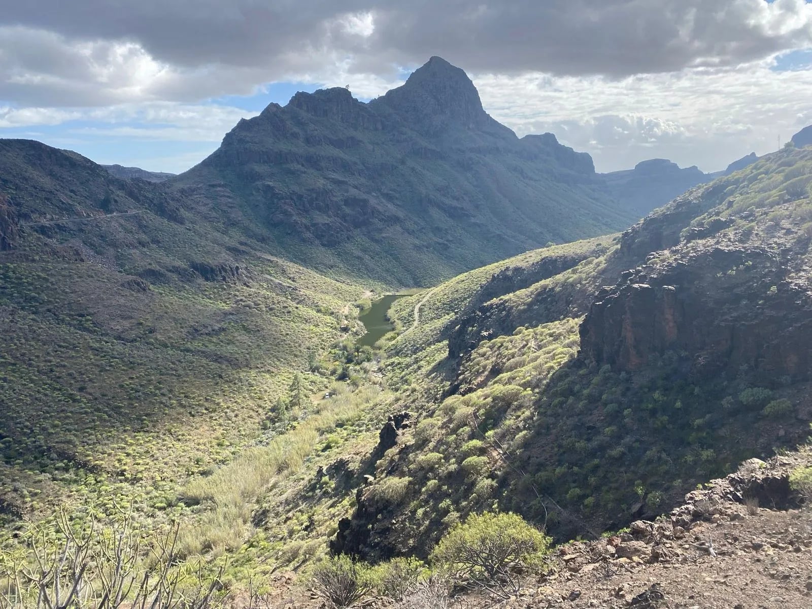
Whichever month you pick, book the Cruz de Tejeda accommodation first — it fills months ahead in the January and February peak.
Accommodation and Food
Accommodation on the trail is a mix of small rural hotels, casas rurales and one Parador at Cruz de Tejeda. Villages are small enough that spontaneous booking works outside high winter, but the Cruz de Tejeda area fills first. On our tours the accommodation is booked in advance across all five stage-ends, with the Parador on the highest night and rural inns on the others.
Breakfast is included at most guesthouses. Dinner is available at every stage-end but the choice narrows to one or two restaurants at the smaller villages like El Hornillo. Canarian mountain food is heartier than the coastal version — expect potaje de berros (watercress stew), grilled goat, papas arrugadas with red and green mojo sauces, and local wines from Bandama or Monte Lentiscal.
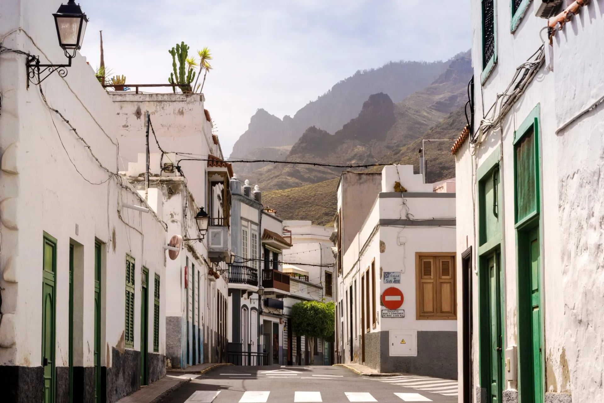
The single detail most first-time visitors miss is meal timing. Lunch is between 2 and 4 pm, dinner rarely before 8. Plan your walking hours so that you arrive at each night's guesthouse before restaurant service closes.
Getting There
Reaching the start is straightforward. Fly into Gran Canaria's Las Palmas Airport (LPA) — the island's only airport — and transfer 30 minutes south by shuttle, taxi or public bus to Maspalomas. Direct flights from most northern European cities run daily in the winter months.
At the other end, Agaete has direct bus service back to Las Palmas roughly every 30–60 minutes, and the town also runs a ferry to Tenerife if you're linking to another GR131 section. If you're flying home from LPA the day after finishing, the Las Palmas–Agaete–LPA journey takes about 90 minutes end to end.
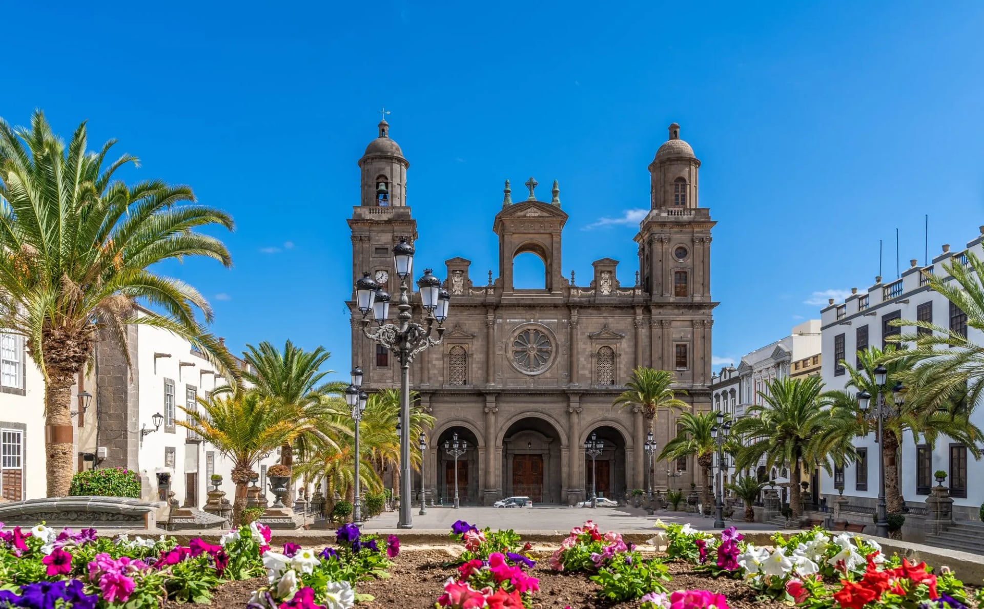
If you'd rather begin from the north, you can reverse the itinerary — Agaete is a 45-minute bus ride from Las Palmas — but as noted above, most hikers prefer the south-to-north direction.
How Much It Costs
The GR131 Gran Canaria is a mid-range European hiking destination — more expensive than Balkan walks, more affordable than the Alps. A rough independent budget:
Guesthouses: €50–90 per night with breakfast, depending on the property. The Parador at Cruz de Tejeda is the highest at around €130.
Meals: €15–25 per dinner, €8–12 per lunch at village ventas.
Transfers: €30–50 for LPA to Maspalomas by taxi, or €5–8 by public bus.
All in: roughly €500–800 per person for the trek itself without arrival and departure days and excluding flights.
Self-guided trips cost more but bundle accommodation, transfers, GPS navigation and 24/7 support. Cards are widely accepted in the main towns but carry small-note cash for the smaller villages, especially El Hornillo.
Planning Made Simple
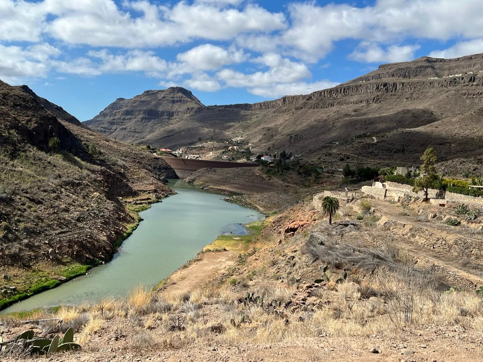
The route can be done independently, but the Cruz de Tejeda booking, the point-to-point logistics between Maspalomas and Agaete, and the mid-trip transfers do take some planning. A self-guided trip with support leaves you in capable hands while allowing you the full freedom to walk at your own pace. On ours, we:
book every night's accommodation across the five stages,
arrange baggage transfers between villages so you walk with a day pack only,
provide GPS navigation, a digital guidebook, and fuente-marked route notes, and
handle airport transfers from LPA to Maspalomas and Agaete back to Las Palmas.
Keep planning with our Spain hiking tours overview, and see the Pueblos Blancos Hike for a mainland winter alternative in a similar season or our tour along the GR11 route, another of the great long-distance trails in Spain.

About this author
Ajda is our travel advisor, raised in a village surrounded by mountain peaks. Hiking entered her life early on and remains her favorite way to reconnect with nature.













.jpg&w=828&q=75)












































.jpg&w=828&q=75)























