Kumano Kodo: The 5 Best Routes and How to Walk Them
Compare the five Kumano Kodo routes by distance, days and difficulty, then walk the Nakahechi stage by stage with the beds and buses already worked out.

Jon
Published September 7, 2026
Edited October 9, 2026
20 min read

Quick links
Don't want to read all this?
We've planned 2,000+ hiking trips. Send your dates, fitness and group size — we'll map the route and book every night.



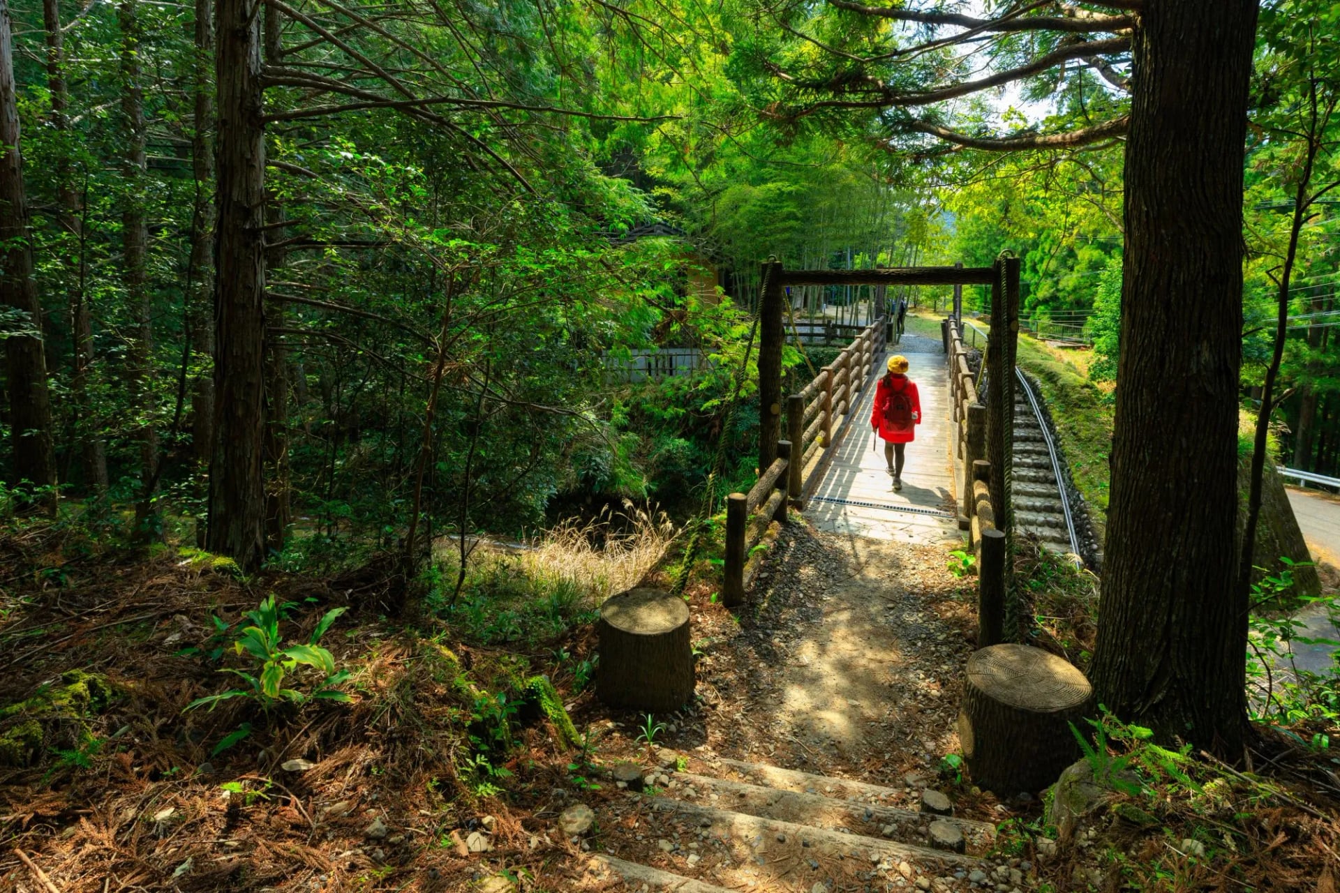
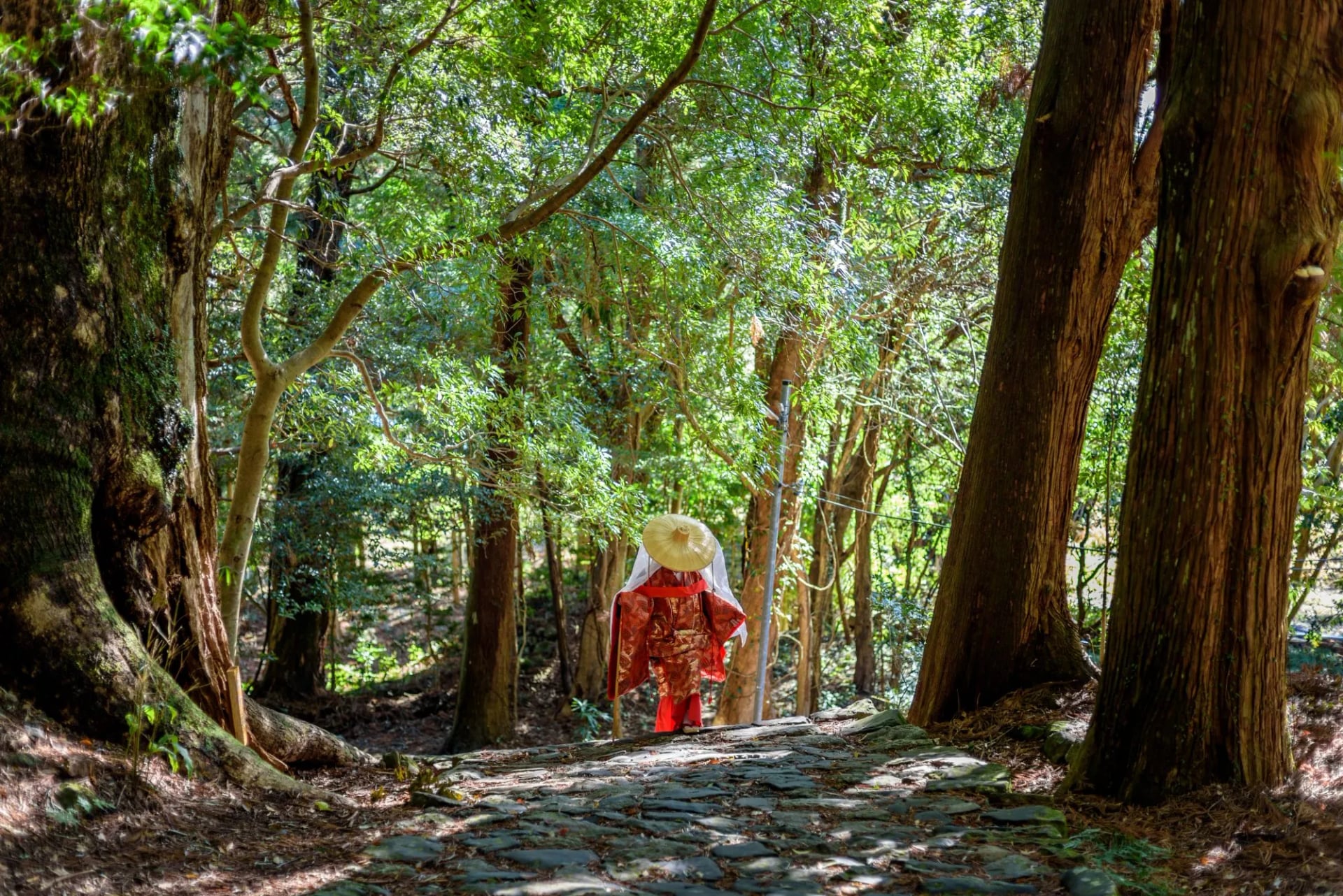
The Kumano Kodo is a network of old pilgrim roads through the cedar forests of the Kii Peninsula, south of Osaka, and people have walked them for more than 1,000 years. The paths climb on stone steps and roots past small shrines called oji, and the nights are spent on futons in family-run inns.
All the routes lead to the three grand shrines of Kumano, one of them beside Nachi Falls, the tallest waterfall in Japan. Routes and shrines together became a UNESCO World Heritage Site in 2004.
Most walkers take the Nakahechi, about 38 km from Takijiri-oji to Hongu, because it has English signs, buses and a luggage shuttle. The other routes are longer, steeper or quieter, so choose your route before you book days or beds.
The 5 Best Kumano Kodo Routes
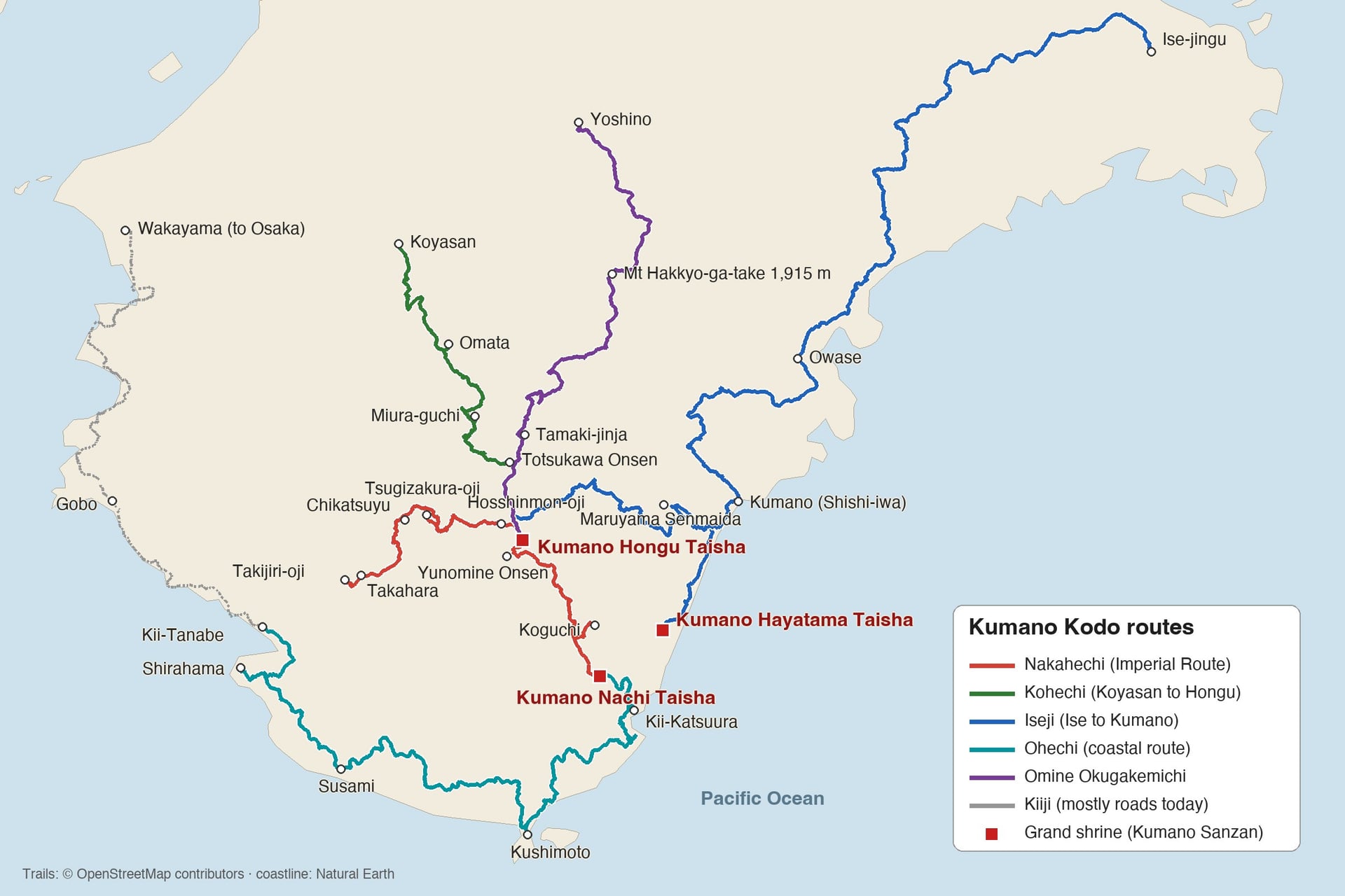
Each route is the old road to Kumano from a different starting point: Tanabe inland, Tanabe along the coast, the temple town of Koyasan, Ise in the east and Yoshino in the north. All of them end at the shrines, so choose by your days and your experience.
A sixth route, the Kiiji from Osaka to Tanabe, mostly follows modern roads today, so it is not listed here.
1. Nakahechi: The Imperial Route From Tanabe
Distance: about 38 km from Takijiri-oji to Kumano Hongu Taisha, then about 30 km more to Kumano Nachi Taisha
Days: 2 walking days to Hongu, 5 to 6 to Nachi
Highest point: about 690 m before Hongu, about 850 to 880 m on the Ogumotori-goe to Nachi
Start and end: Takijiri-oji, 40 minutes by bus from Kii-Tanabe, to Hongu Taisha or Nachi Taisha
Sleeps: family-run guesthouses and inns in Takahara, Chikatsuyu, the onsen villages near Hongu and Koguchi
Difficulty: not technical, but long climbs on stone steps and roots
Best for: a first multi-day walk in Japan, all three grand shrines, the Dual Pilgrim
Retired emperors took this route from Kyoto in the 11th to 13th centuries, and it is still the main way to all three shrines. It has English signs, numbered posts every 500 m, local buses to most villages and a luggage shuttle between inns.
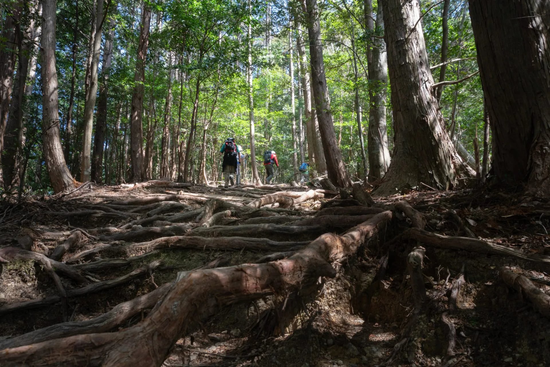
The path climbs through cedar forest past oji, the small shrines that marked the pilgrims' stops. The highlights are the hilltop village of Takahara, the first view of Hongu from Fushiogami-oji and the giant torii at Oyunohara. Our self-guided Kumano Kodo Imperial Route walks it from Takijiri to Nachi in five days.
2. Kohechi: Koyasan to Hongu Over the Mountains
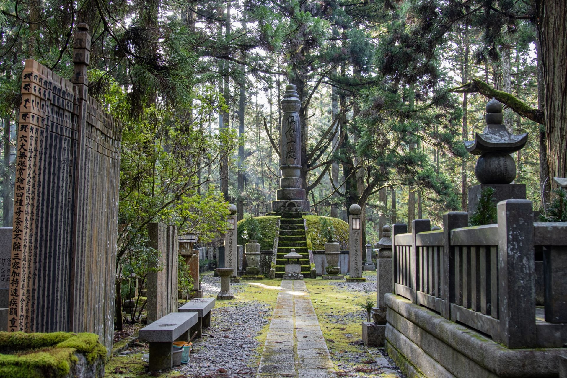
Distance: about 65 to 70 km from Koyasan to Kumano Hongu Taisha
Days: 4 walking days
Highest point: 1,344 m at Obako-toge; the route crosses three passes over 1,000 m
Start and end: the temple town of Koyasan to Hongu Taisha
Sleeps: temple lodging on Koyasan, then inns in Omata, Miura-guchi and Totsukawa Onsen
Difficulty: for experienced hikers only, with 690 to 1,075 m of climbing every day
Best for: empty mountain trails and a night in a Koyasan temple
Laid out in the 13th and 14th centuries as the shortest way from Koyasan to Hongu, the Kohechi crosses a high pass every day. The second day, over Obako-toge, is the wildest: about 14.5 km with 740 m up and 1,090 m down.
On this route, beds are a bigger problem than fitness. Miura-guchi has only two inns, and the booking system accepts a Kohechi request only when every village on the route is booked. The Kohechi closes from about mid-December to mid-March.
3. Iseji: Ise to Kumano Along the East Coast
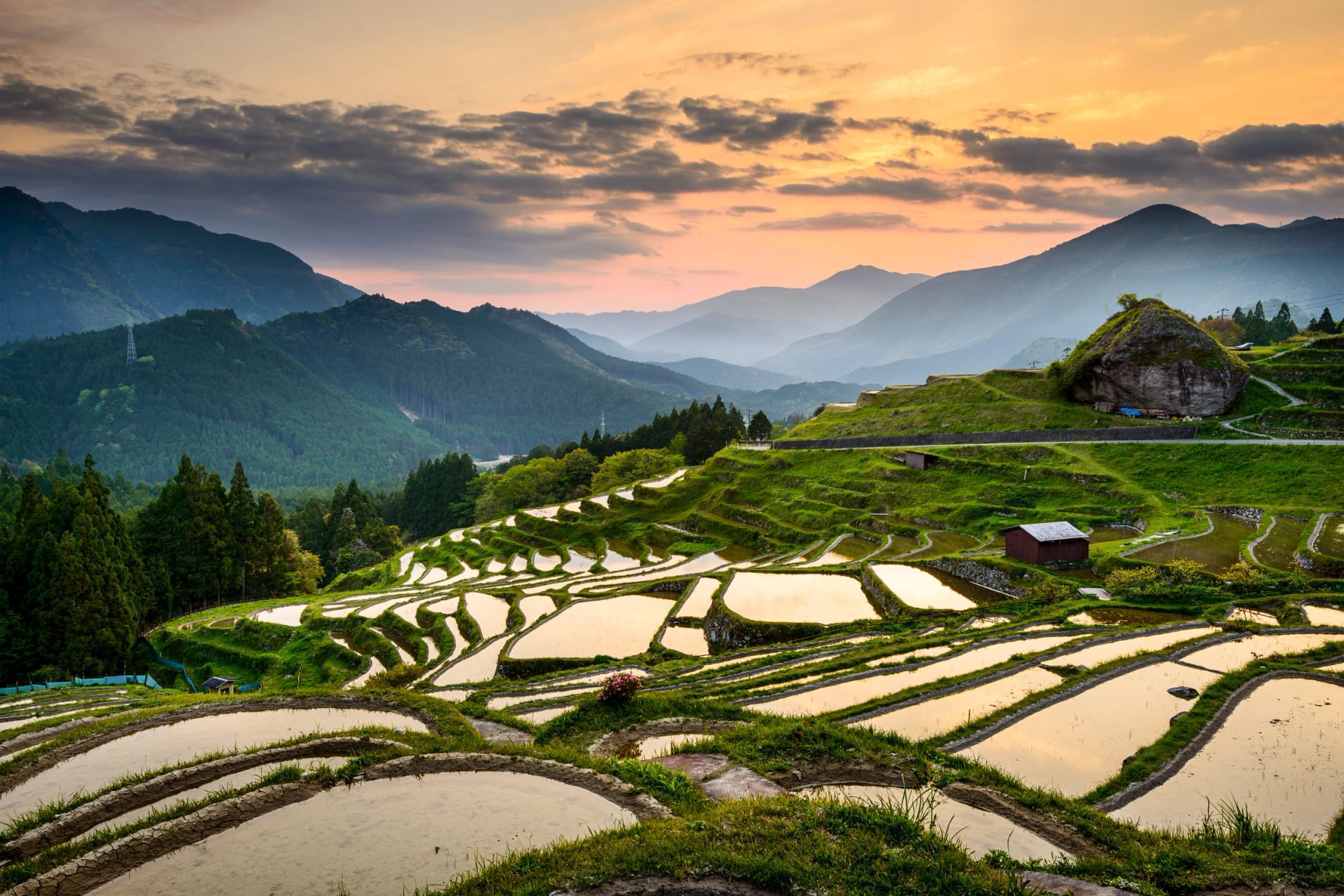
Distance: about 170 km from Ise-jingu to the Kumano shrines
Days: one to two weeks end to end; most people walk it in day sections
Highest point: a chain of low cobbled passes rather than high mountains
Start and end: Ise-jingu to Hayatama Taisha along the beach, or to Hongu Taisha inland
Sleeps: coastal towns, with many trailheads near train stations
Difficulty: short, steep stone passes in the middle section; the northern 70 km is mostly paved road
Best for: long-distance walkers, and day walks from a base by train
Pilgrims used the Iseji to walk from Ise-jingu, Japan's most important shrine, to Kumano. Its central 75 km is a series of passes paved with stone, such as Magose-toge, laid to stop the heavy rain washing the path away between the fishing villages.
In the south the route splits. The Hamakaido follows about 25 km of shingle beach to Hayatama Taisha, and the Hongudo turns inland past the Maruyama Senmaida terraces to Hongu. Because trains reach many of the trailheads, the Iseji suits walkers who prefer to stay in one base.
4. Ohechi: The Coastal Route From Tanabe
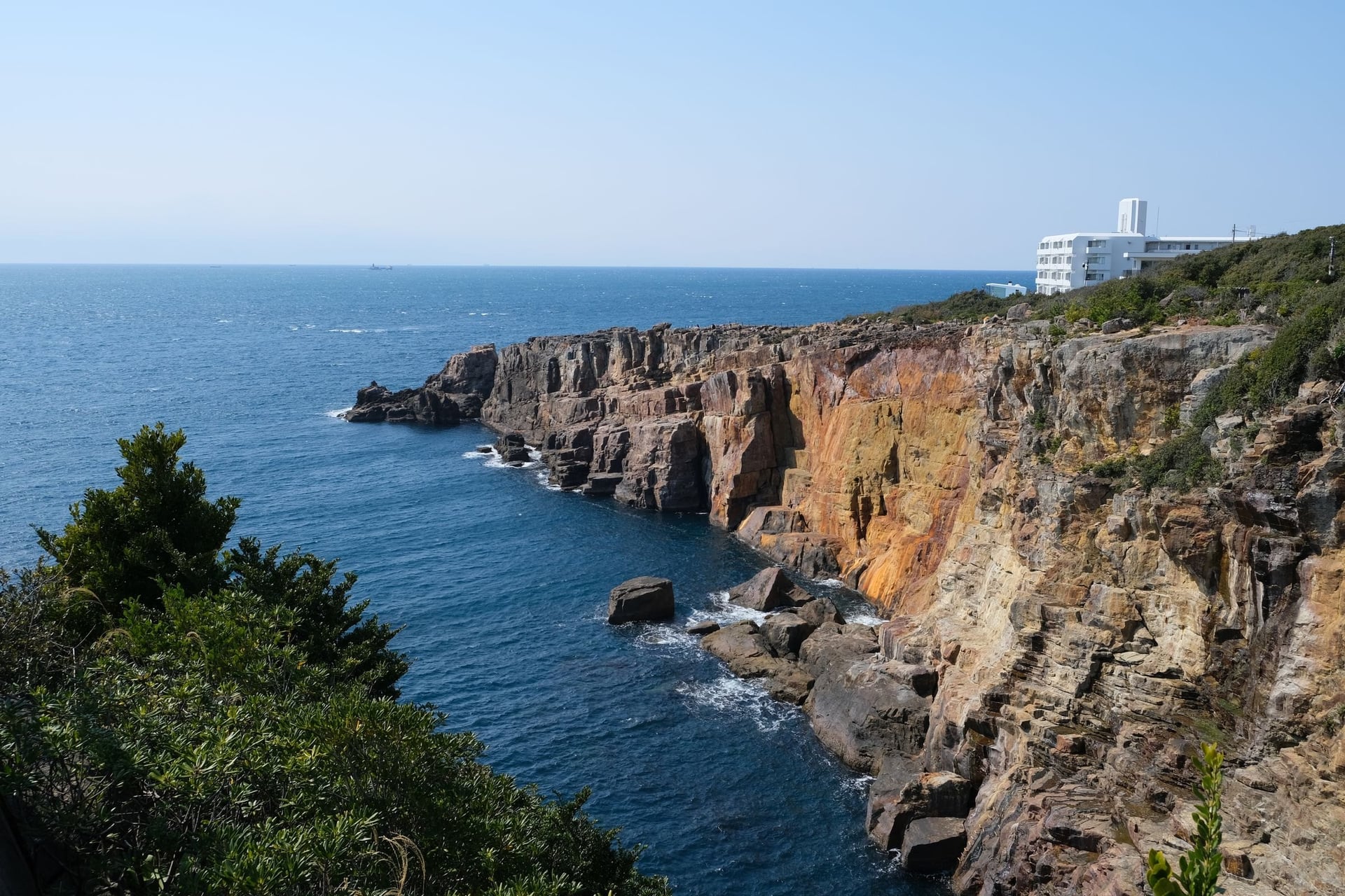
Distance: about 120 km from Tanabe to Kumano Nachi Taisha
Days: nine sections of 8 to 18 km; most walkers pick two or three
Highest point: about 370 m on Tonda-zaka
Start and end: Tokei-jinja in Tanabe to Fudarakusan-ji in Nachi
Sleeps: Tanabe, Shirahama, Susami and Kushimoto
Difficulty: easy to moderate passes, long road sections and some signs in Japanese only
Best for: sea views and mild winter walking
Along the south-west coast of the peninsula, the Ohechi links the bays with short forest passes. The three sections worth a day each are Tonda-zaka, Hotoke-zaka and Nagai-zaka, about 11 to 13 km apiece, and Nagai-zaka near Susami is the most walked.
Much of the rest is road walking. The section between Wabuka and Tako stations is closed from June 2026 to about April 2027 for expressway works, so check the tourism bureau's notes before you plan it.
5. Omine Okugakemichi: The Mountain Ascetics' Route
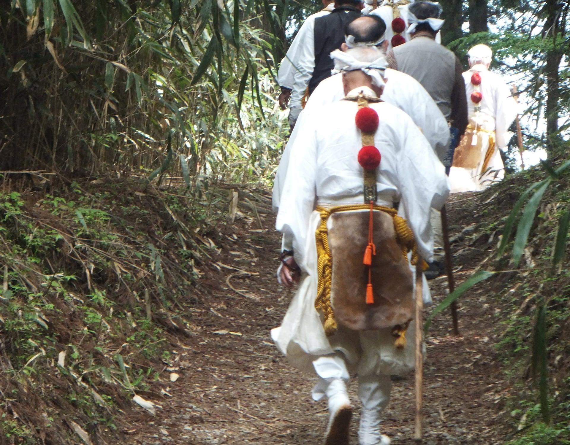
Distance: close to 100 km from Yoshino to Kumano Hongu Taisha
Days: about 5
Highest point: 1,915 m at Hakkyo-ga-take, the highest peak in the Kansai region
Start and end: Yoshino to Hongu Taisha
Sleeps: ryokan at Dorogawa Onsen near the north end, few beds further south
Difficulty: a training route over high ridges, not recommended for inexperienced hikers
Best for: self-sufficient trekkers with mountain experience in Japan
Shugendo mountain ascetics still train on the Omine Okugakemichi, which follows the ridges of the Omine range from Yoshino to Hongu. It is the highest and wildest of the five, with no luggage shuttle and no central booking.
The route has one restriction to plan around: the path up Mt Omine is closed to women, as is the Ominesan-ji temple at the top, which opens only in the warmer months.
The Nakahechi Stage by Stage
In five stages the Nakahechi climbs from the Tonda River into cedar forest, follows old ridge paths to Hongu and ends on a long stone staircase down to Nachi.
Most walkers go west to east, the pilgrims' direction, so the walk ends at Nachi Falls and the main railway at Kii-Katsuura. The stages are the Tanabe City Kumano Tourism Bureau's sections, and the times are walking time without stops.
Stage | Distance | Climb / descent | Walking time | Night |
1. Takijiri-oji to Takahara | 4 km | +430 / −200 m | 2–3 h | Takahara |
2. Takahara to Chikatsuyu | 10 km | +590 / −640 m | 4–6 h | Chikatsuyu |
3. Chikatsuyu to Hongu Taisha | 24.5 km | +1,100 / −1,380 m | 9–12 h | Hongu or an onsen village |
4. Hongu to Koguchi | 13 km | +670 / −690 m | 4.5–6 h | Koguchi |
5. Koguchi to Nachi Taisha | 14 km | +1,260 / −930 m | 7–9 h | Kii-Katsuura |
Stage 1: Takijiri-oji to Takahara
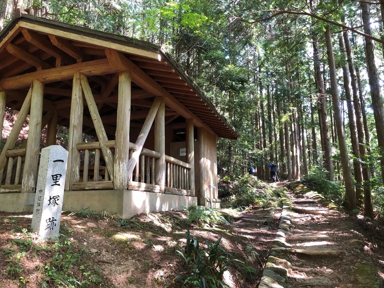
The walk starts at Takijiri-oji, where the Kumano Kodo Kan centre has maps and the free pilgrim credential. The first hour is the steepest climb of the day, straight up through the forest past Tainai-kuguri, a rock crevice you can crawl through.
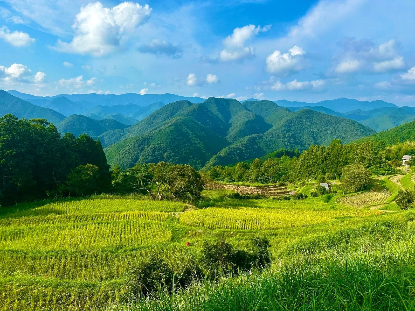
After about 4 km the path reaches Takahara, a village on a ridge known for its view over the mountains and its morning mist. There is no bus to Takahara; the nearest stop, Kurisugawa, is about 30 minutes down the hill.
Stage 2: Takahara to Chikatsuyu
Stage 2 follows the old ridge path for about 10 km. Jujo-oji comes about 1.5 hours in, and the remains of the Uwada-jaya teahouse, at about 690 m, are the highest point before Hongu.
Near the end the path drops to Gyuba-doji, a small statue of a boy riding an ox and a horse, and the Michi-no-Eki roadside station, which sells food. Chikatsuyu-oji is 1.3 km further, about 30 minutes.
Chikatsuyu has restaurants, a post office and several inns. Walkers with energy left can continue 4 km, mostly on paved road, to Tsugizakura-oji, which shortens the long day that follows.
Stage 3: Chikatsuyu to Kumano Hongu Taisha
This is the long day: about 24.5 km with 1,100 m of climbing and 9 to 12 hours of walking. It passes Tsugizakura-oji and its giant cedars, then climbs through the forest towards Hosshinmon-oji, the gate to Hongu's sacred ground.
Many walkers shorten the day by bus. From the Doyukawa-bashi stop it is about 17.5 km to Hongu, with no water or toilets until Hosshinmon-oji. From Hosshinmon-oji itself it is 7.5 km, mostly downhill.
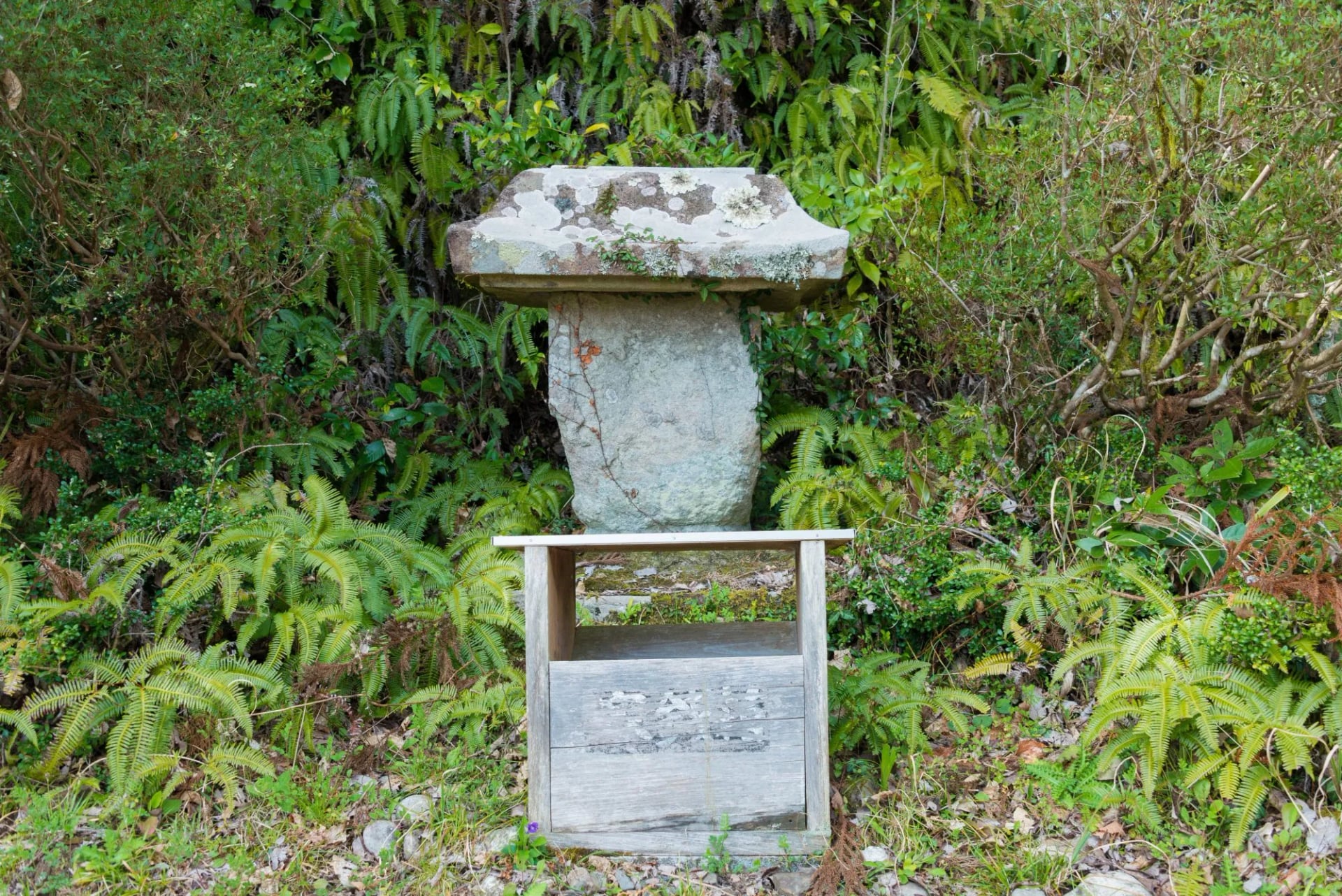
Just before Hongu, you get the first view of the shrine from Fushiogami-oji. The stage ends at Kumano Hongu Taisha, and the giant torii at Oyunohara is a short walk beyond. If you stop at Hosshinmon-oji instead, the last bus leaves at 16:23 from April to November and 14:48 in winter.
Stage 4: Hongu to Koguchi (Kogumotori-goe)
From the Ukegawa trailhead, 30 minutes' walk from the shrine, the Kogumotori-goe crosses about 13 km of forest to Koguchi with 670 m of climbing. From the Hyakken-gura viewpoint you look out over ridge after ridge of the Kii mountains.
There are no restaurants on this stage or the next, so order a bento from your inn the night before. Koguchi has only a few inns, and they are often full in spring and autumn; the usual fix is to sleep in an onsen village near Hongu and take the Koguchi bus.
Stage 5: Koguchi to Kumano Nachi Taisha (Ogumotori-goe)
The Ogumotori-goe is the hardest day on the Nakahechi, rated 5 on the tourism bureau's scale: about 14 km with 1,260 m of climbing. Its first section, Dogiri-zaka, the Body-breaking Slope, gains 800 m in about 5 km up to Echizen-toge pass, so start early and pace the first climb.
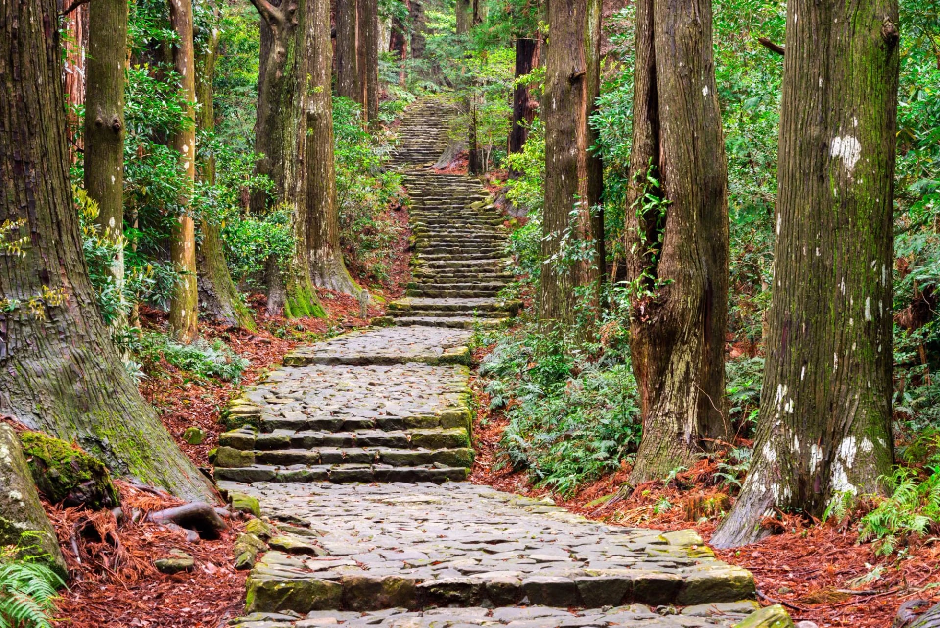
From the Jizo-jaya shelter at about 6 km, the path follows the ridge towards Funami-jaya, then drops about 4 km on stone stairs to Nachi. From the shrine, most walkers take the Daimon-zaka steps down to the bus stop for Kii-Katsuura.
How Many Days Do You Need?
A Kumano Kodo itinerary on the Nakahechi takes 2 to 6 walking days, depending on where you stop.
2 days: Takijiri-oji to Chikatsuyu, then Chikatsuyu to Hongu, about 14 to 16 km and 24.5 km. This is the tourism bureau's shortest plan.
3 to 4 days: add a night in Takahara and an onsen night at Yunomine, Kawayu or Wataze after Hongu.
5 to 6 days: continue from Hongu to Nachi over the Kogumotori-goe and the Ogumotori-goe.
One night before you start: even the first train and bus from Osaka or Kyoto arrive too late to walk to Chikatsuyu the same day, so sleep in Kii-Tanabe or Takahara first.
How Hard Is the Kumano Kodo?
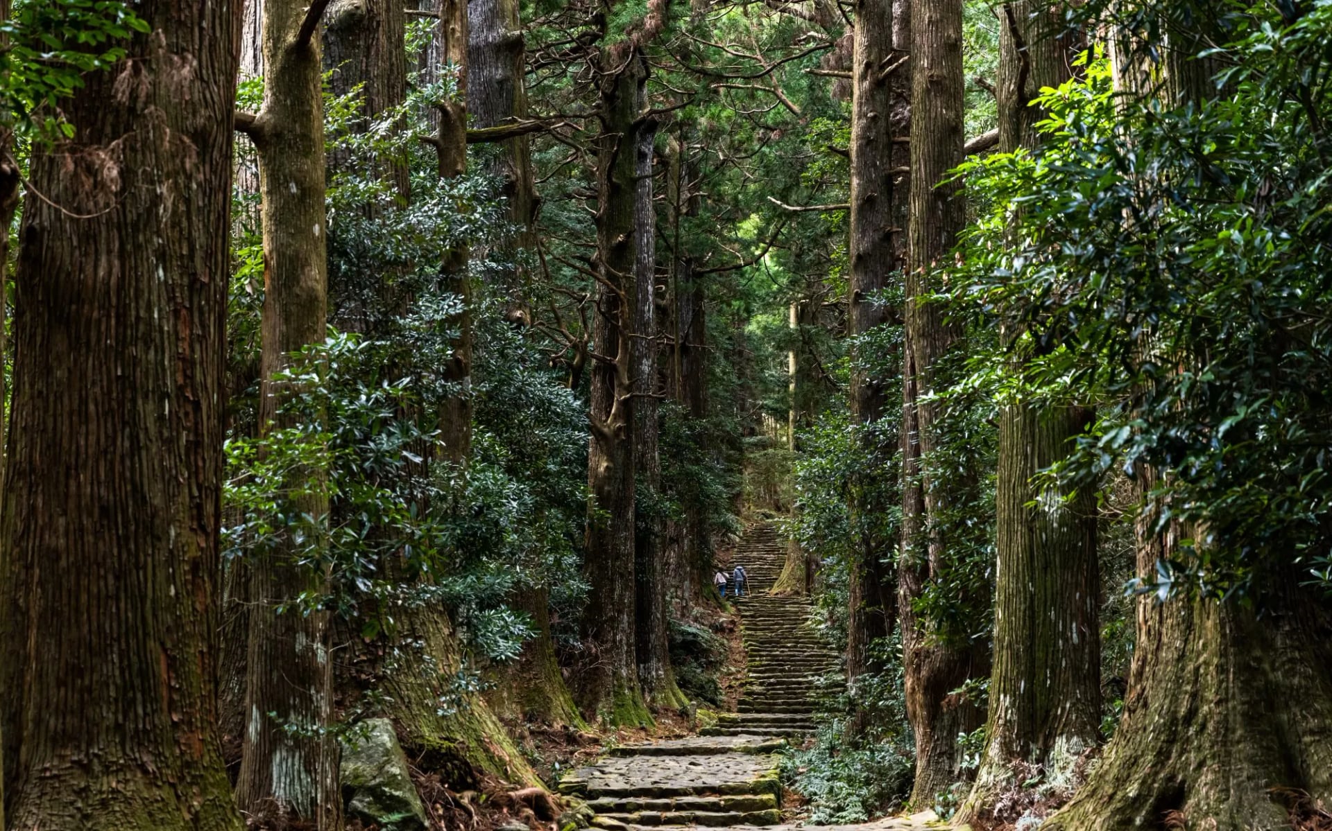
The Kumano Kodo is not technical, but it is physically demanding. There is no scrambling or exposure. Instead the paths go straight up and down on stone steps, roots and old cobbles, with few zigzags, and most injuries are slips on wet stone, so walking poles help.
On the Nakahechi a stage climbs between 430 and 1,260 m, and the longest day takes 9 to 12 hours. The highest points are about 690 m on the way to Hongu, 1,344 m on the Kohechi and 1,915 m on the Omine. In summer the heat and humidity make the same stage much harder.
Waymarking and Navigation
The Nakahechi has English signs and numbered posts every 500 m. Note the last number you passed, because it pins your location if you need help. The Kohechi has bilingual wooden signs, while parts of the Ohechi and Iseji are signed in Japanese only.
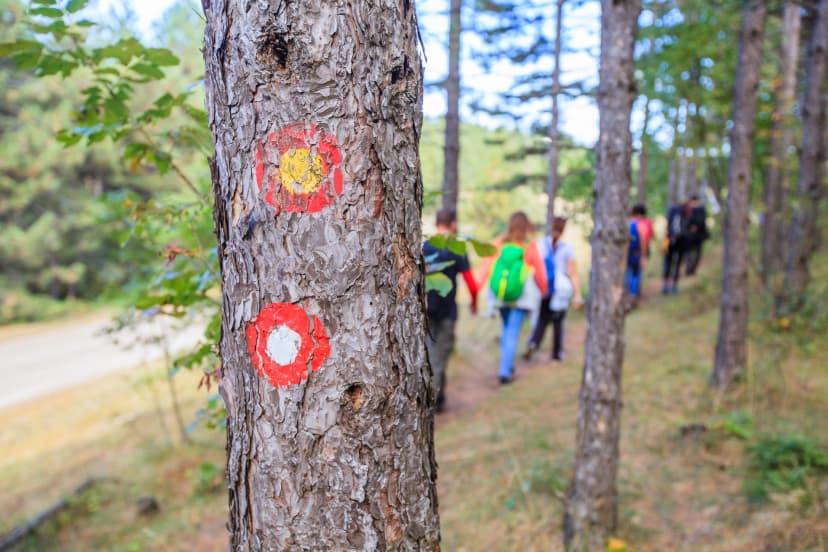
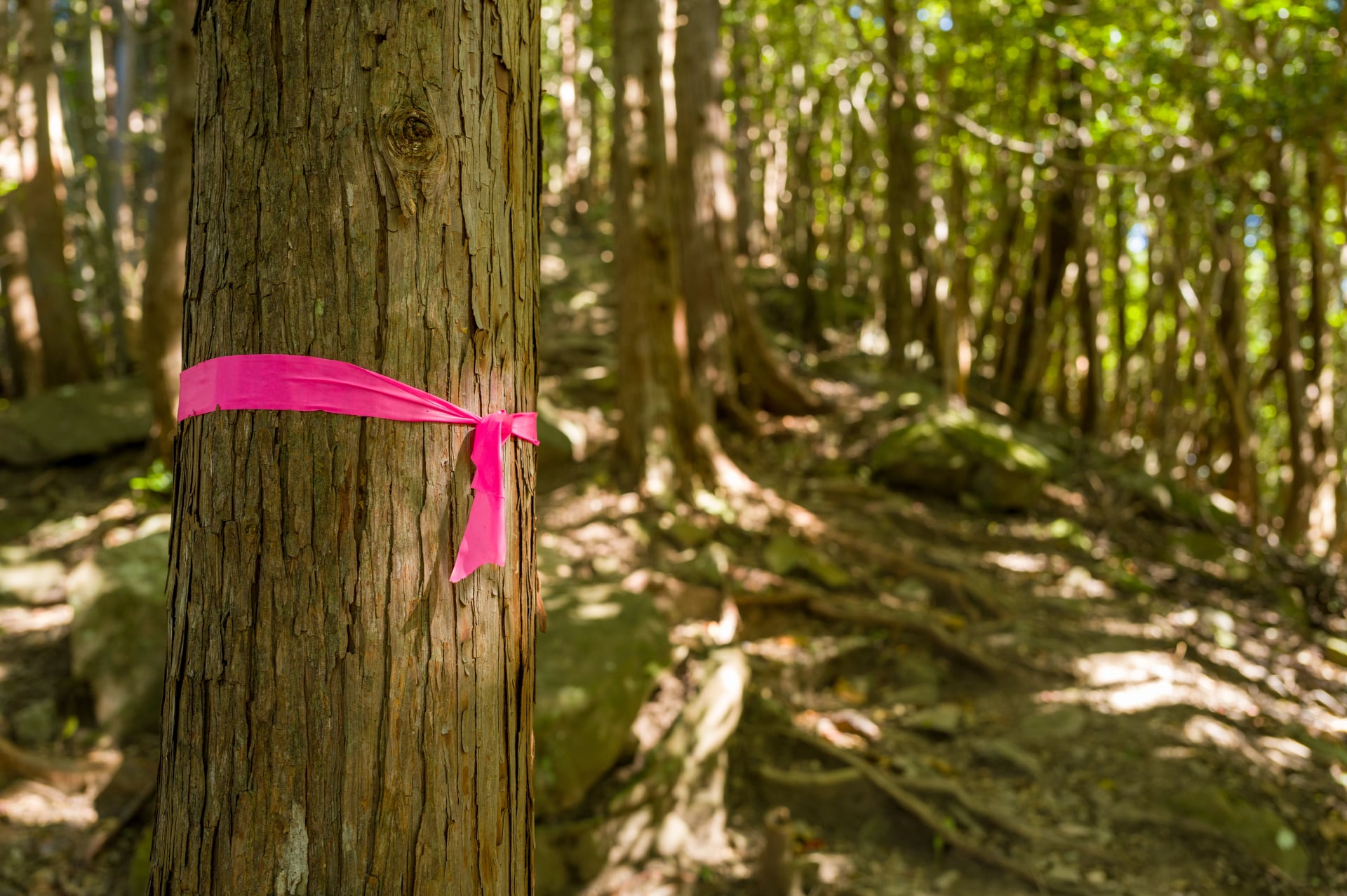
Coloured ribbons tied to trees are local markings, not the route, so stay with the signposts. The tourism bureau has free PDF maps of every route except the Omine Okugakemichi, and paper copies are at the visitor centres in Tanabe, Takijiri and Hongu.
Safety on the Trail
Bears: Asiatic black bears are rare here, and no incidents have been reported on the Nakahechi. Talk as you walk (voices work better than bells), keep earbuds out and arrive before dusk.
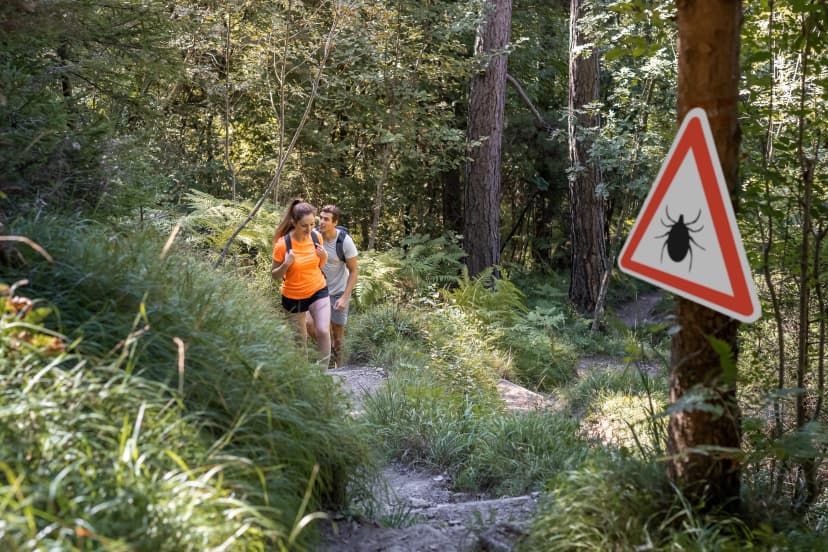
Snakes: the mamushi pit viper, 40 to 80 cm long with a triangular head, is venomous, so watch where you put your hands.
Hornets: Japanese giant hornets are most aggressive in autumn. Walk away calmly rather than swatting.
Leeches: small land leeches wait on low leaves in wet areas, so check your legs after damp sections.
Weather: typhoons and heavy rain can close trails and stop trains. Check the tourism bureau's trail notes before each day.
Emergencies: call 119 for an ambulance or 110 for the police. The Japan Visitor Hotline, 050-3816-2787, answers in English 24 hours a day.
Best Time to Hike the Kumano Kodo
During the Hongu Taisha spring festival, on 13 April, fathers purify themselves in Yunomine's hot spring with their young sons, then carry them over the Dainichi-goe trail to Oyunohara.
For walking, the best months are late March to May and October to November, when days are mild and the paths dry out. The Nakahechi is open all year, but summer is hot, humid and wet, and the Kii Peninsula is one of the wettest areas in Japan.
The table uses Japan Meteorological Agency normals for 1991 to 2020 at Kurisugawa, a station on the Nakahechi near Takahara.
Season | Months | Day high / night low | Rain a month | Good to know |
Spring | March to May | 15–24 °C / 2–12 °C | 180–250 mm | Best walking weather; book beds early |
Rainy season | June to mid-July | 27–30 °C / 17–21 °C | about 390 mm | Wet stone and leeches; trails stay open |
Summer | Mid-July to August | 30–32 °C / 21–22 °C | 260–395 mm | Start at dawn and carry extra water |
Autumn | September to November | 19–29 °C / 6–18 °C | 135–300 mm | Typhoons peak in September; October and November are calmer |
Winter | December to February | 10–13 °C / −1–1 °C | 87–114 mm | Quiet trails; frost or snow possible on passes |
The rainy season, tsuyu, normally runs from about 7 June to 19 July here. In September an average of 1.1 typhoons a year come close to the Kinki region, which includes the Kii Peninsula.
Winter is cold but dry. The Kohechi closes from about mid-December to mid-March, while the coast stays mild, which makes the Ohechi a good winter walk.
Know Before You Arrive
Most inns on the Kumano Kodo serve dinner and breakfast, pack a lunch and hand your bag to the luggage shuttle, so most planning starts with the beds.
Where You Sleep
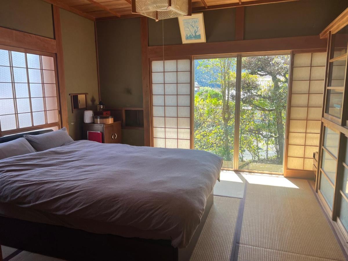
Nights on the Kumano Kodo are spent in minshuku (family-run guesthouses), ryokan (traditional inns) and small hotels. Most rooms have tatami floors and futons, baths are often shared, and many inns serve dinner and breakfast. Camping is allowed only at official campsites, such as those in Chikatsuyu and Koguchi.
The settlements are small, and an inn may close for the night if it has no bookings, so walking in without a reservation rarely works. The official booking system for the region is KumanoTravel, run by the Tanabe tourism bureau.
What You Eat
Dinner is usually served at about 18:00, so aim to arrive by 17:00. Breakfast is early, and most inns will make a bento lunch box if you order it the night before.
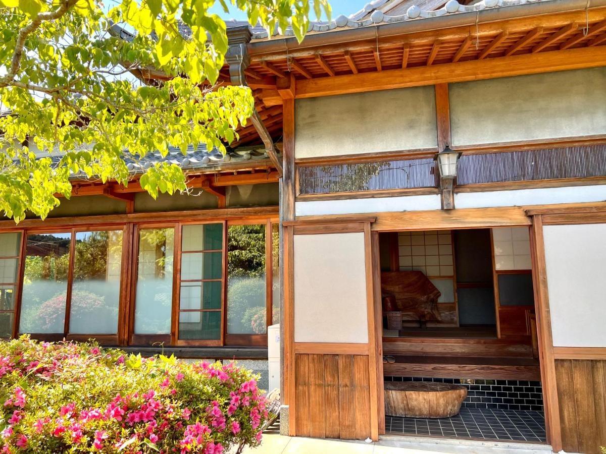
There is little to buy between villages, so carry snacks and fill your bottles at the inn, because stream water is not tested. Look out for mehari-zushi, rice wrapped in a pickled mustard leaf, and fresh tuna in Katsuura at the end of the walk.
Onsen on the Route
The hot-spring villages around Hongu are part of the walk. Yunomine Onsen, about 2 km from Hongu over the Dainichi-goe trail, has Tsuboyu, a small cabin bath that is part of the World Heritage site. It holds one or two people for 30 minutes at a time, costs 800 yen and opens 6:00 to 21:00.
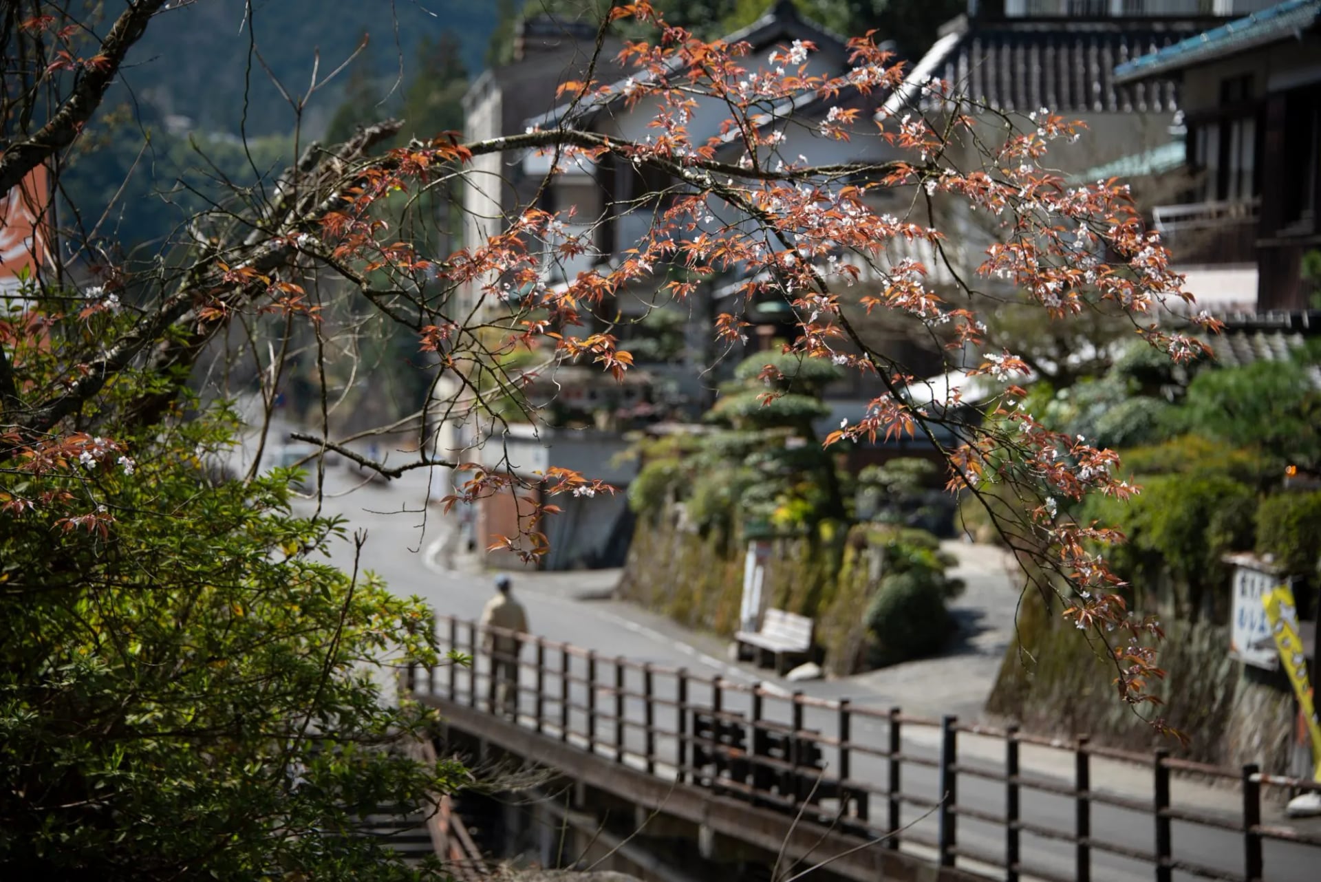
Tsuboyu takes no reservations: you take a numbered ticket and wait for your slot, and Yunomine's public baths cost 400 yen while you wait. At every onsen, wash before you get in and bathe without swimwear.
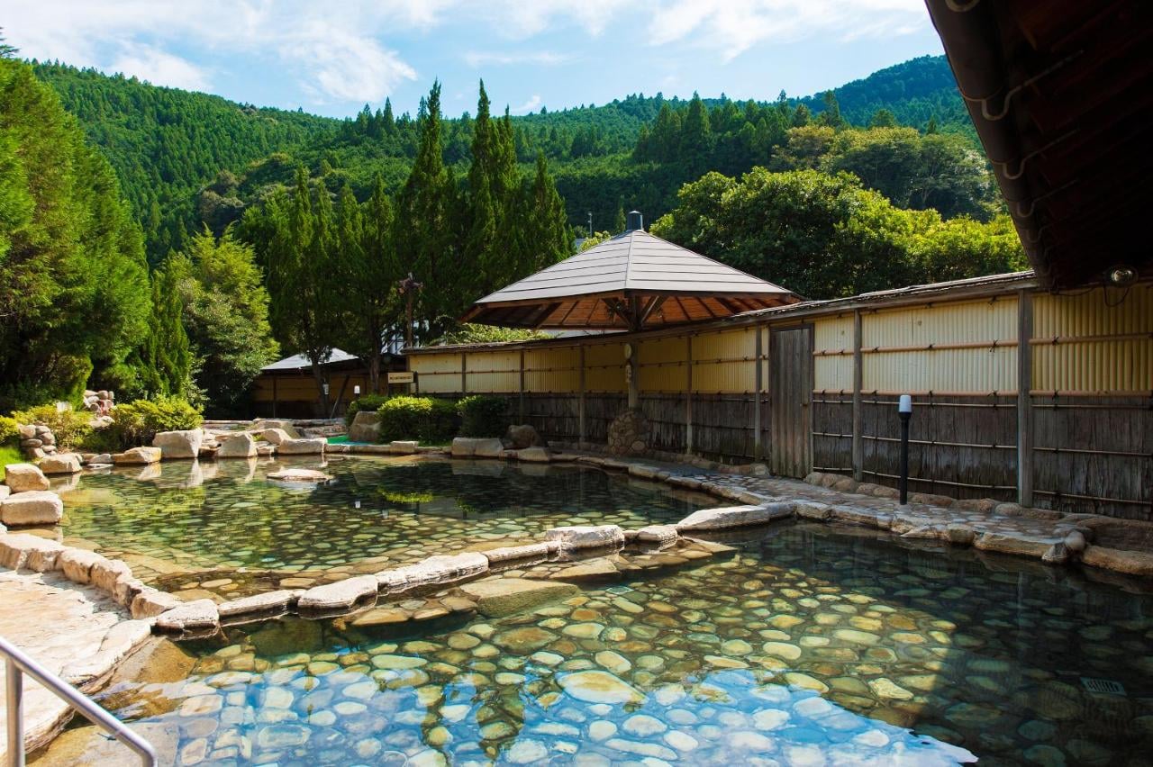
At Kawayu Onsen hot water rises through the riverbed, so you dig your own pool for free, and from December to February the river becomes Sennin-buro, a bath about 40 m by 15 m. Wataze Onsen has the largest outdoor baths in western Japan, at 1,000 yen for a day visit.
Getting There and Back
To Tanabe: the Kuroshio limited express runs from Shin-Osaka to Kii-Tanabe in about 2 hours, from Tennoji in 1 hour 45 and from Kyoto in about 2 hours 35.
From Kansai Airport: take the JR train to Hineno and change to the Kuroshio, about 2 hours 10 in all.
To the trail: buses from Kii-Tanabe reach Takijiri-oji in about 40 minutes, and 7 a day continue to Hongu Taisha in 1 hour 35 to 2 hours 15.
From Nachi: bus 31 runs from the shrine to Kii-Katsuura station in about 25 minutes, for trains to Osaka or Nagoya.
To Koyasan for the Kohechi: private Nankai trains from Namba station in Osaka and a cable car. JR passes are not valid.
Autumn 2026 express bus: an extra bus runs daily between Kii-Tanabe and Hosshinmon-oji from 19 September to 10 December.
Cash, Costs and Luggage
Carry yen in cash. Small inns, shops and buses often don't take cards, and post office ATMs, such as the one in Hongu, accept foreign cards. There is no tipping.
The main cost is the inns, which nearly all include dinner and breakfast: two-meal plans on KumanoTravel run from about 9,000 to 27,500 yen per person a night. Buses are cheap, about 970 yen from Kii-Tanabe to Takijiri, and some onsen add a bathing tax of about 150 yen.
A daily luggage shuttle moves bags between inns booked through KumanoTravel, but it has to be booked at least 20 days ahead. Otherwise, Japan's next-day delivery services can send a bag on to your next inn.
What to Pack
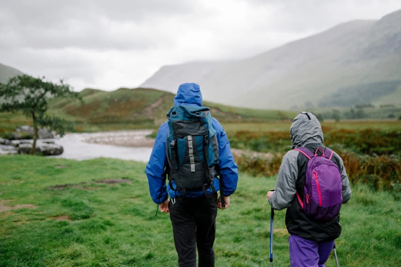
Pack as for any multi-day inn walk: a 25 to 35 litre day pack, broken-in hiking shoes, a rain jacket, a warm layer, a sun hat, a water bottle and a small first-aid kit. With your luggage sent ahead, that is all you carry.
What the Kumano Kodo adds to that list:
Walking poles for the long stone staircases
An umbrella as well as a rain jacket, because it rains often and the forest is warm
Quick-dry clothes and spare socks for humid days
Insect repellent and long socks against leeches
Yen in cash, and the offline PDF maps on your phone
A small towel for the onsen
Kumano Sanzan: The Three Grand Shrines
Every route ends at the three grand shrines of Kumano, together called Kumano Sanzan, and pilgrims traditionally visit all three. They are working shrines, so keep your voice down and follow the signs on where to photograph.
Kumano Hongu Taisha and Oyunohara
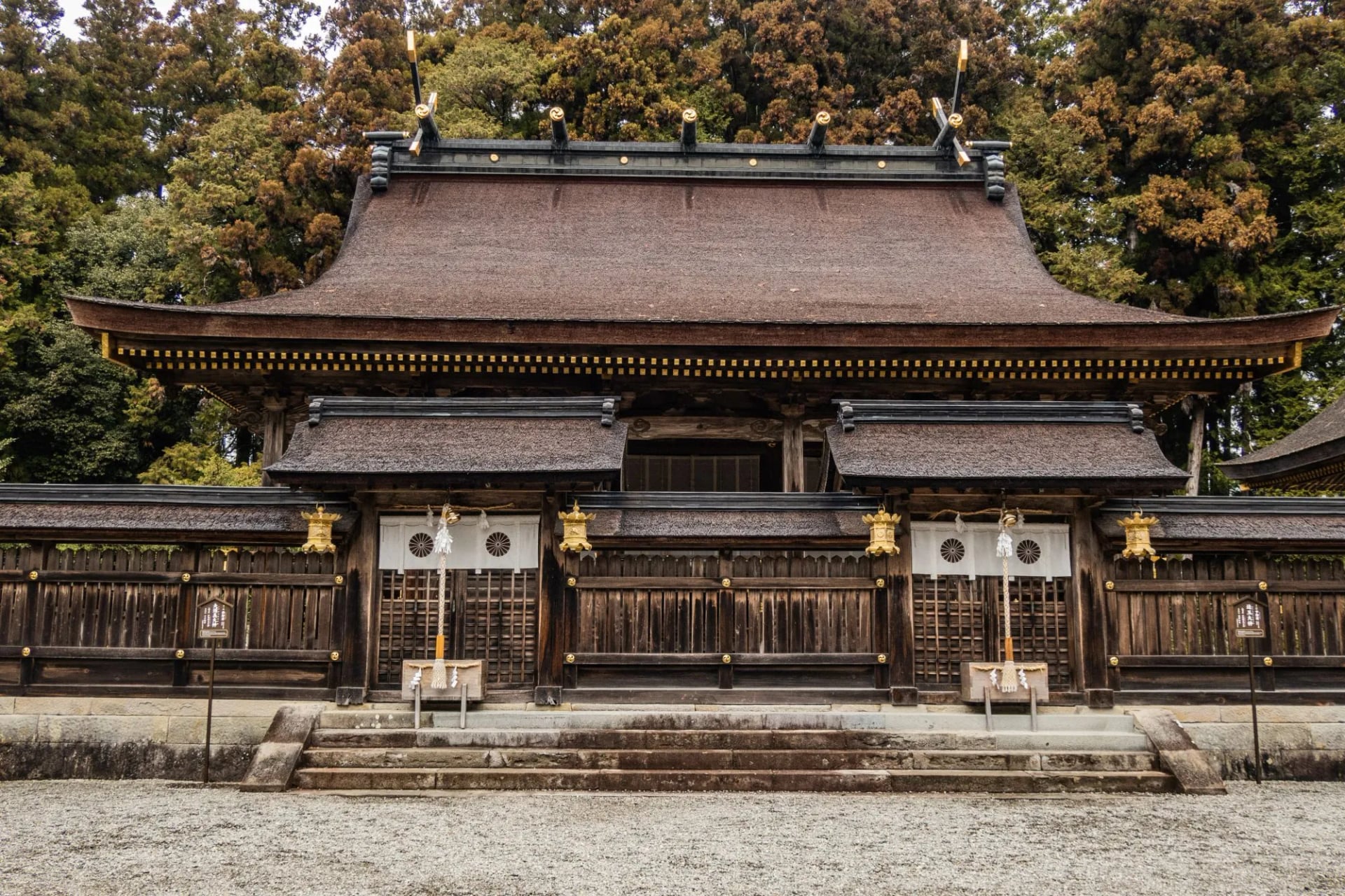
More than 3,000 Kumano shrines across Japan look to Kumano Hongu Taisha as their head shrine. It stood on Oyunohara, a sandbank where two rivers meet, until a flood in 1889, and only three of its five main halls were rebuilt on the hill above.
Oyunohara is still marked by the world's largest torii gate, 33.9 m tall and 42 m wide, built in 2000. Look for the three-legged crow, Yatagarasu, on flags and on the shrine stamp. It is also the emblem of the Japan Football Association.
Kumano Hayatama Taisha and Gotobiki-iwa
At the mouth of the Kumano River in Shingu, where the Iseji's beach route ends, stands Kumano Hayatama Taisha. Its sacred nagi tree is about 800 years old. About 20 minutes' walk away, 538 steep stone steps climb to Kamikura-jinja and the Gotobiki-iwa rock, the shrine's original site.
Kumano Nachi Taisha, Seiganto-ji and Nachi Falls
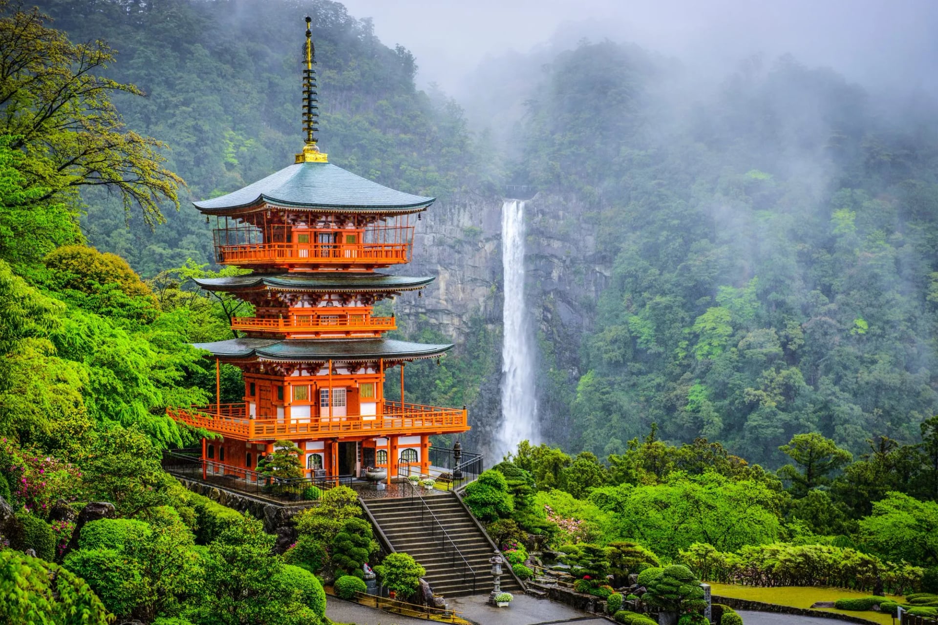
Kumano Nachi Taisha sits about 350 m up a mountainside, 10 km inland from Katsuura. Beside it stands Seiganto-ji, the first of the 33 temples of the Saigoku Kannon pilgrimage, and behind them Nachi Falls drops 133 m. Shrine and temple share one hillside because Shinto and Buddhism were worshipped together here until a decree separated them in 1868.
How to Become a Dual Pilgrim
Walkers who complete both the Kumano Kodo and the Camino de Santiago can register as Dual Pilgrims. By 31 August 2026, 17,683 people from 85 countries had done it.
1. Walk the Camino: at least the last 100 km to Santiago on foot, or 200 km by bike. Our Sarria to Santiago walk covers the last 100 km.
2. Walk one of five Kumano options: the most walked are Takijiri-oji to Hongu (about 38 km) and Nachi to Hongu (about 30 km). Koyasan to Hongu (about 65 km) also counts, as does Hosshinmon-oji to Hongu with visits to Hayatama and Nachi.
3. Collect the stamps: pick up the free credential at the Tanabe or Hongu visitor centres. The Kumano Hongu Taisha stamp completes it.
4. Register: at the Kumano Hongu Heritage Center or the Tanabe Tourist Information Center, with proof of your Camino. You receive a pin badge and a certificate, and on some days a taiko drum ceremony at Hongu.
Book the Beds Before the Flights
The hardest part of the Kumano Kodo is often the booking. The tourism bureau says the small villages, especially Takahara, Chikatsuyu, Nonaka and Koguchi, are often fully booked in spring and autumn. KumanoTravel handles bookings as requests, which take three days to a week to process, or up to a month in peak season.
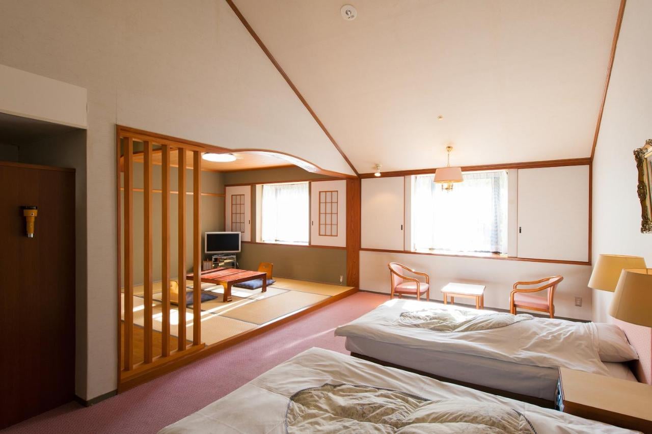
The usual fix is to stay where there are more beds and use the buses, for example an onsen village near Hongu instead of Koguchi. Our self-guided Kumano Kodo Imperial Route is planned around this, with the Koguchi night replaced by an onsen night.
Days: 5, with 4 nights
Route: Takijiri-oji to Kii-Katsuura, over the Ogumotori-goe to Nachi Taisha
Daily distance: 4 km, 9.5 km, 16 km and 15 km
Season: March to October
Included: 4 nights with breakfast, luggage transfers, a GPS app and a digital guidebook
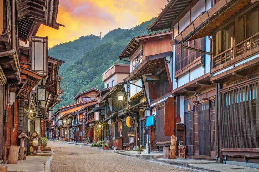
For a second week in Japan, the Nakasendo trail follows old post towns through the Kiso Valley. Our walking holidays in Japan list every Japan tour.
Frequently Asked Questions

About this author
Jon is our travel advisor and an outdoor adventurer who is happiest on the move. While mountain biking is his personal passion, he thrives on crafting hiking adventures for others — planning routes and adding the little touches that turn a trip into a core memory.