Hiking in Japan: The Ultimate Guide
Hiking in Japan means 21 peaks over 3,000 metres, a pilgrimage trail with its own passport, and post towns that voted never to modernise. Four routes compared.

Jon
Published September 2, 2026
Edited September 29, 2026
14 min read
Quick links
Don't want to read all this?
We've planned 2,000+ hiking trips. Send your dates, fitness and group size — we'll map the route and book every night.



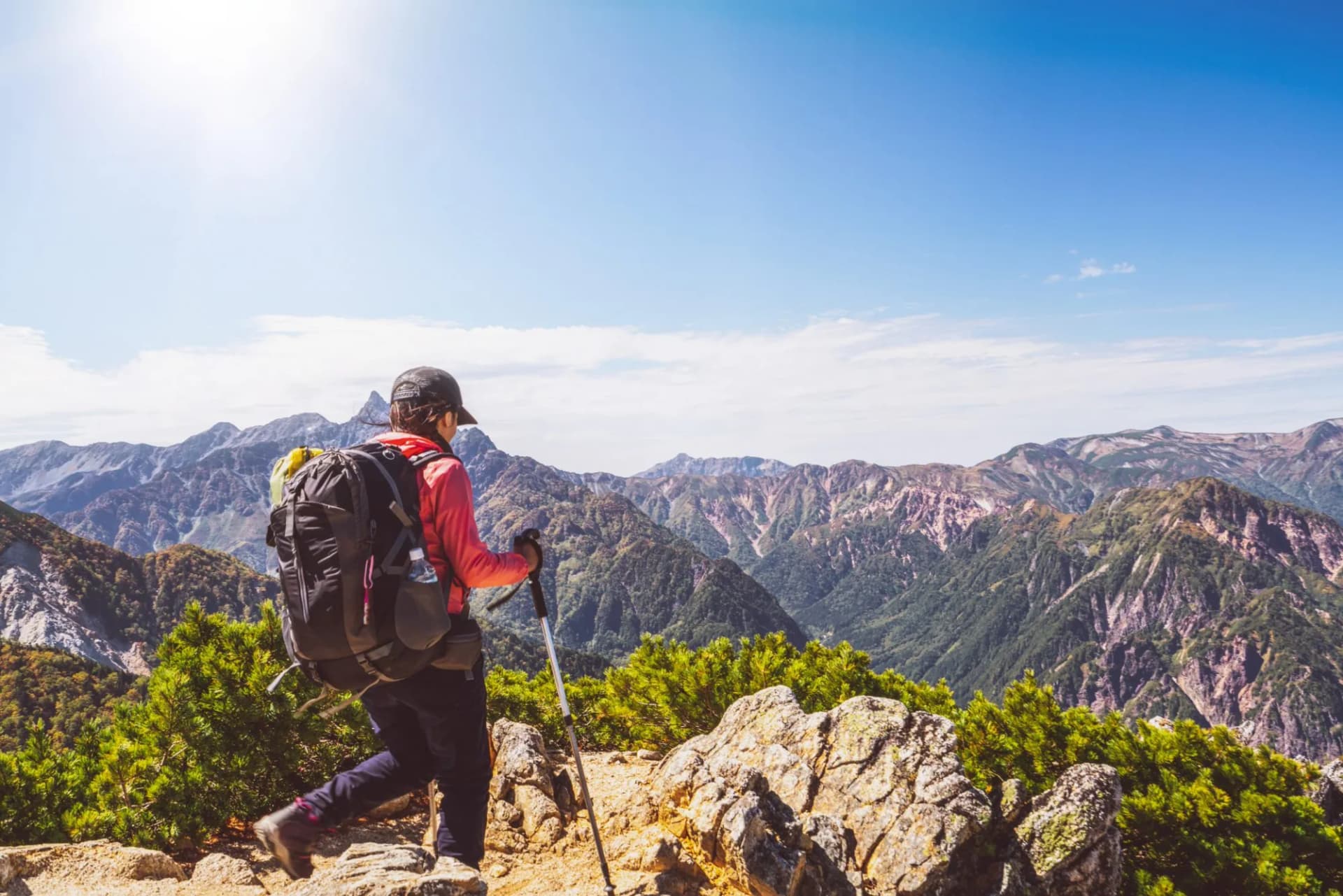
Most people come to Japan for the cities and leave without knowing it is one of the great walking countries. It has 21 peaks over 3,000 metres, a staffed hut network that stands comparison with the Alps, and trains that reach more trailheads than anywhere else on earth. None of that is a secret locally and almost none of it is written down in English.
What catches people out is the calendar. Almost nothing here is open all year, and the closures are administrative rather than weather-dependent, so a route is either in season or shut. Grades throughout follow our hiking difficulty guide.
The Best Hikes in Japan
Four routes are worth flying for, and they are not variations on the same holiday. Two are cultural walks through inhabited valleys where you sleep in a village inn every night and your bag goes ahead by road. Two are mountain weeks where you carry everything and sleep in a dormitory.
That split is the whole decision. The Kumano Kodo and the Nakasendo sit at fitness 3 and technical 2 on our scale, which means long days on your feet and never a hand on rock. Mount Fuji and the Panorama Ginza sit at fitness 4, and the Panorama Ginza adds technical 4, the hardest grade of the four.
When to Go
The high alpine season is July to September, and it is short because the huts that make the ridges walkable shut in autumn. Kamikochi, the gateway valley for the Northern Alps, runs mid April to mid November, with the exact dates set each year on the official site, and outside those dates the road and the hotels are simply closed.
Mount Fuji is stricter. The four trails open on either 1 or 10 July and all of them close on 10 September, which gives the mountain a legal season of about nine weeks.
Below the treeline it relaxes. The Kumano Kodo runs March to October and the Nakasendo April to November. October is the pick for both, with the colour, the dry air and no crowds, and the typhoon risk that peaks in August and September has usually eased.
The month to avoid on any mountain is August: school holidays, the Obon travel week, peak humidity and the highest typhoon risk of the year.
The Kumano Kodo
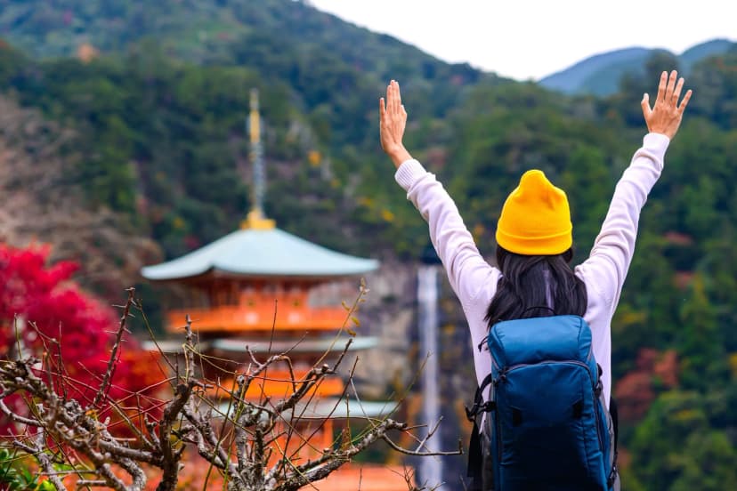
A network of pilgrimage routes across the Kii Peninsula, UNESCO-listed in 2004, and one of only two pilgrimage routes in the world with World Heritage status. The other is the Camino de Santiago, and finishing both makes you a Dual Pilgrim on a shared credential.
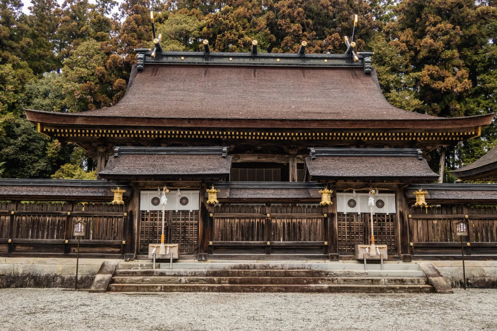
Pick this one if you want the culture and the walking in equal measure. You are under forest most of the day rather than on a ridge, every night is a family inn with a bath and a served dinner, and two of them are hot spring villages.
The honest catch is rain. Shingu near the shrines averages about 3,300 millimetres a year, June is the wettest month, and locals call the peninsula the Typhoon Ginza. Our full Kumano Kodo guide covers the six routes, the stage distances and the shrines in detail.
Kumano Kodo Imperial Route
Distance: 4 to 16 km (2.5 to 10 miles) a day
Ascent: 410 to 1,215 m (1,350 to 3,990 ft) a day
Grade: fitness 3 of 5, technical 2 of 5
Sleeping: four nights in comfort hotels and inns with breakfast, luggage transferred
Season: March to October
Five days on the Nakahechi, the imperial route, inland from the coast and back out to the sea. The mileage looks gentle and the ascent is where the work is, because the route crosses ridge after ridge instead of following a valley.
Day 1, Kii-Tanabe to Takahara: the climb from the Takijiri trailhead into the village in the mist
Day 2, Takahara to Chikatsuyu: the long forest day past Tsugizakura-oji and Chikatsuyu-oji
Day 3, Chikatsuyu to Hongu: over Fushiogami-oji to the head shrine, then a night at Yunomine or Kawayu Onsen
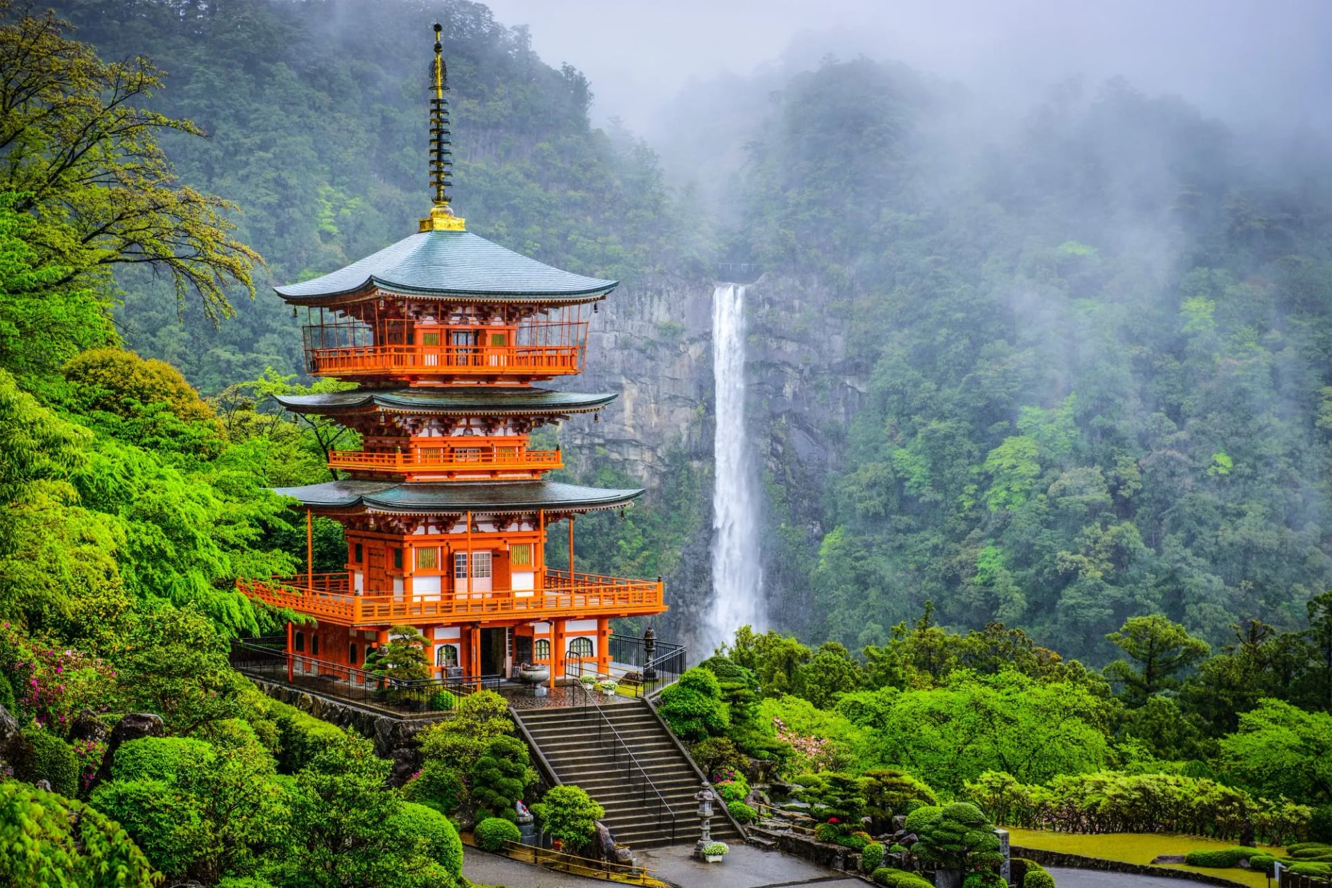
Day 4, Nachi Grand Shrine: the stone steps up to Nachi Taisha and Japan's tallest single-drop waterfall
Day 5, Kii-Katsuura: the tuna market, then the train to Osaka or Kyoto
The Nakasendo Trail
An old highway between Edo and Kyoto, 534 kilometres through 69 post towns, eleven of them in the Kiso Valley in Nagano. That Kiso section is the one everybody walks, and the reason is a decision the residents made rather than anything about the scenery.
In 1968 the people of Tsumago signed a charter binding themselves never to sell, lease or destroy a building or a plot along the old road. Cars are barred from the main street between ten and four, every day, which is why the town sounds like the eighteenth century as well as looking like it.
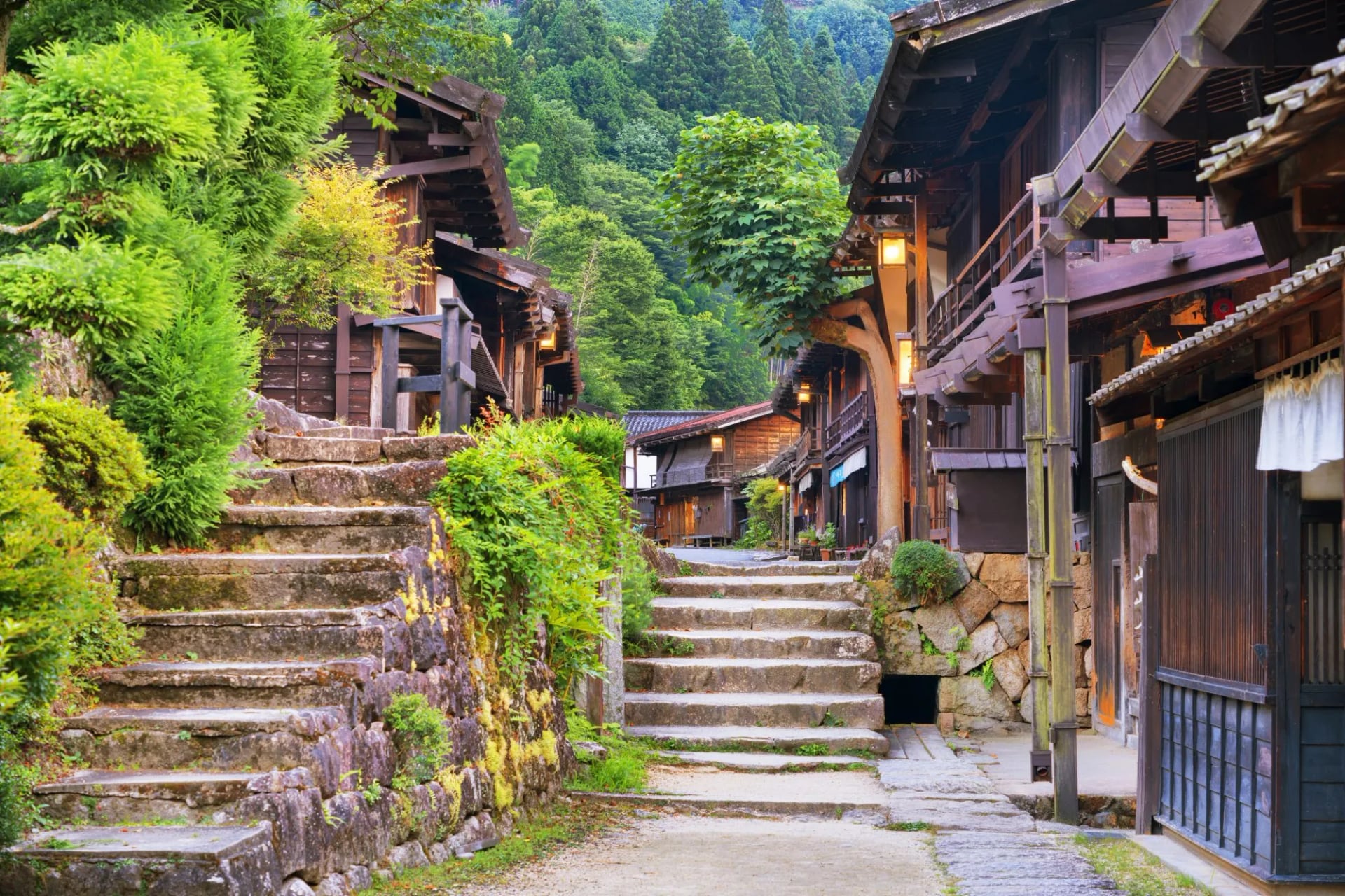
Pick this one for distance without altitude, and as the softest landing of the four. You walk 9 to 18.5 km a day but gain only 320 to 730 m, and you are never far from a train if a day goes wrong. That also makes it the one to choose if somebody in the party wants to skip a stage and meet you at the inn.
Nakasendo Trail Trek
Distance: 9 to 18.5 km (5.5 to 11.5 miles) a day
Ascent: 320 to 730 m (1,050 to 2,400 ft) a day
Grade: fitness 3 of 5, technical 2 of 5
Sleeping: six nights in comfort hotels and inns with breakfast, luggage transferred
Season: April to November
Seven days from Kyoto to Tokyo, the direction the road was built to be walked, and the most varied week of the four.
Day 2, Nakatsugawa to Tsumago: the classic stage over the Magome Pass at 801 metres
Day 3, Tsumago to Nojiri: down the Kiso Valley over the Kiso-no-Ohashi bridge
Day 4, Yabuhara to Kiso Hirasawa: the Torii Pass, the high point of the week, into Narai of a Thousand Houses
Day 5, Matsumoto: a free day for the castle before the transfer to Karuizawa
Day 6, Karuizawa to Yokokawa: the Usui Pass and the old road down to the train
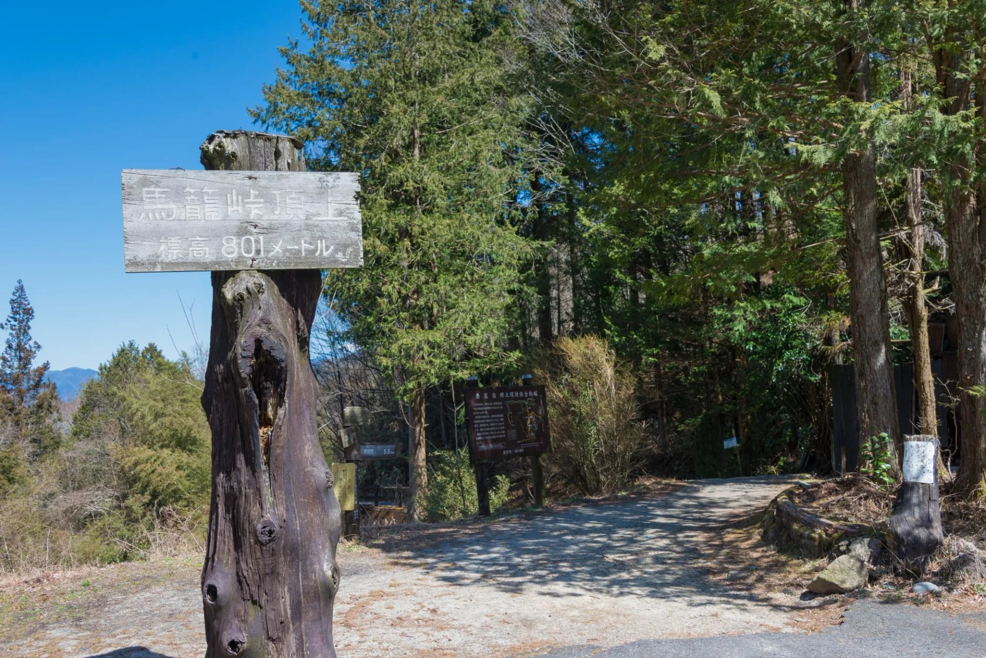
Day four is the sleeper. Narai on the far side of the pass was the richest post town on the road, a thousand houses built on the trade of people who had just survived the climb you have made.
The Japanese Alps
Japanese Alps hiking means the Northern range, which carries most of the country's 3,000 metre peaks, and the classic traverses run for days on ridgelines with no easy way down between huts. The peaks are lower than the European Alps but you start closer to sea level, so the daily climb is comparable.
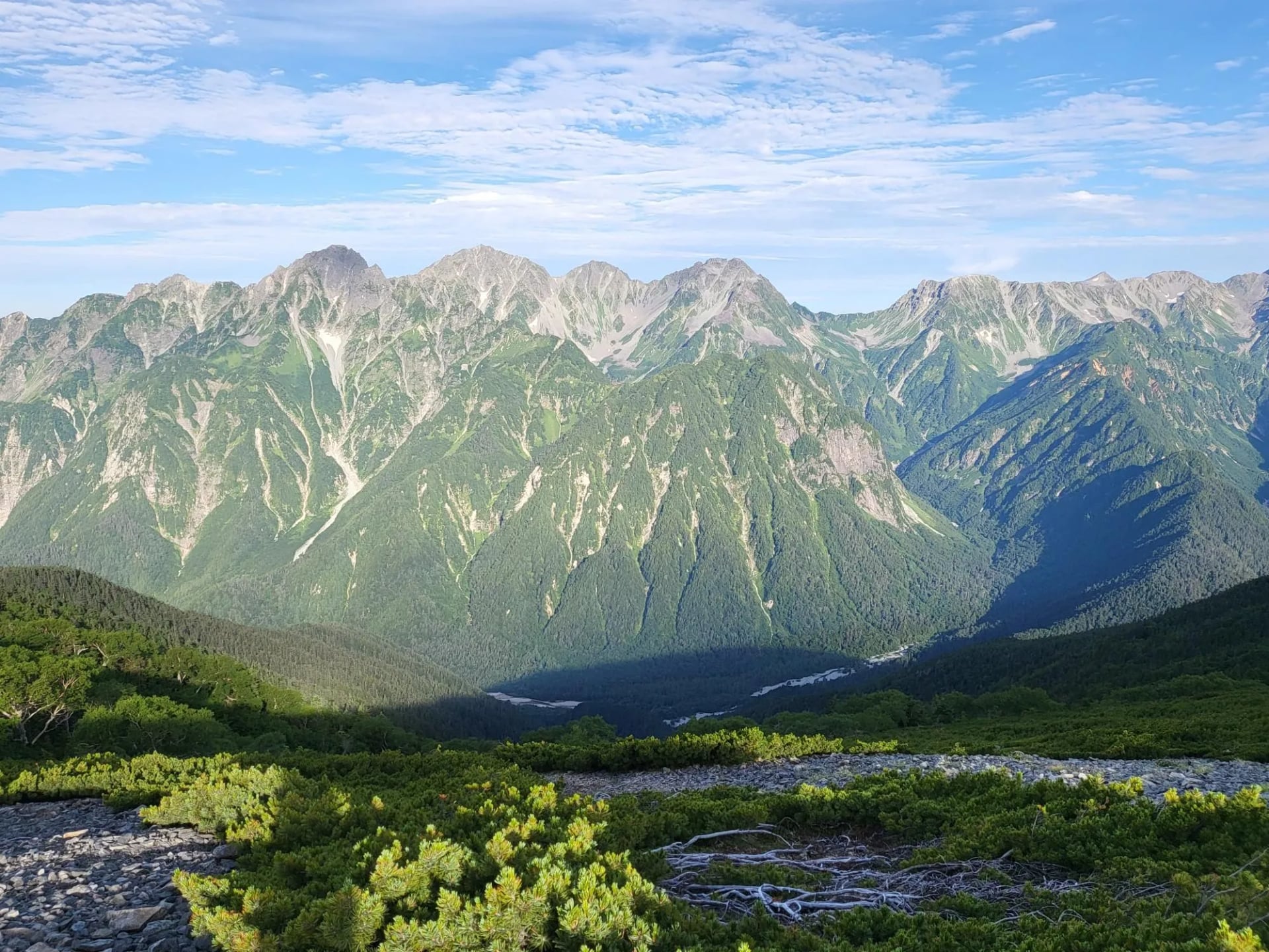
Ginza is Tokyo's busiest shopping street, and Japanese walkers borrow the name for a ridge with a constant procession along it. So the Panorama Ginza is a promenade rather than a summit push, about 27 kilometres of it with Yarigatake alongside the whole way.
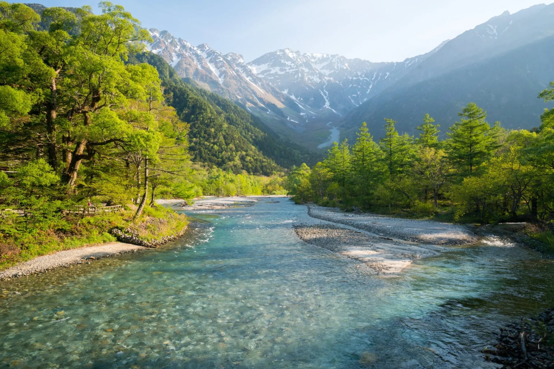
Kamikochi at the southern end sits at 1,500 metres in a flat-bottomed glacial valley, the Azusa river runs through it the colour of glass, and Japanese macaques live wild along the banks in full view of the path.
Panorama Ginza Trail
Distance: 9.5 to 11.5 km (6 to 7 miles) a day
Ascent: 240 to 1,250 m (790 to 4,100 ft) a day, the biggest days of the four
Grade: fitness 4 of 5, technical 4 of 5
Sleeping: three nights in mountain huts with half board, one in a comfort hotel
Season: July to September
Five days south to north along the ridge, walking off the far end into a hot spring. There is no luggage transfer on this one, so the kit list adds a down jacket, gloves, a headlamp and a sleeping liner.
Day 2, Kamikochi to Chogatake Hut: the big climb of the week, out of the forest onto the ridge
Day 3, Chogatake Hut to Daitenso Hut: the ridge day, with Mount Fuji on the horizon
Day 4, Daitenso Hut to Nakabusa Onsen: past Enzanso and over Mount Tsubakuro, then the long descent
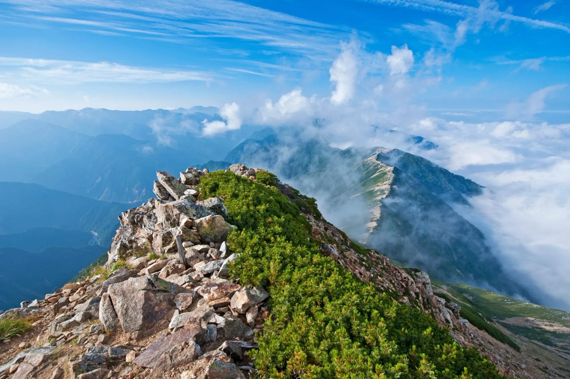
Day two carries almost all of the week's climbing, from a valley floor at 1,500 metres to a hut on the ridge, and the forest section is longer than it looks because Japanese trails go straight up rather than switchbacking.
Mount Fuji
Everything written about Fuji oversells the walking and undersells the ground. The official figures for the four trails make the choice obvious once you see them together.
Fujinomiya: trailhead 2,400 metres, 4.3 km up in about 5 hours. The shortest and steepest
Yoshida: trailhead 2,305 metres, 6.8 km up in about 6 hours. The busiest by a wide margin
Subashiri: trailhead 2,000 metres, 6.9 km up in about 7 hours. Sand run on the way down
Gotemba: trailhead 1,440 metres, 10.5 km up in about 9 hours. A thousand metres more ascent than any other
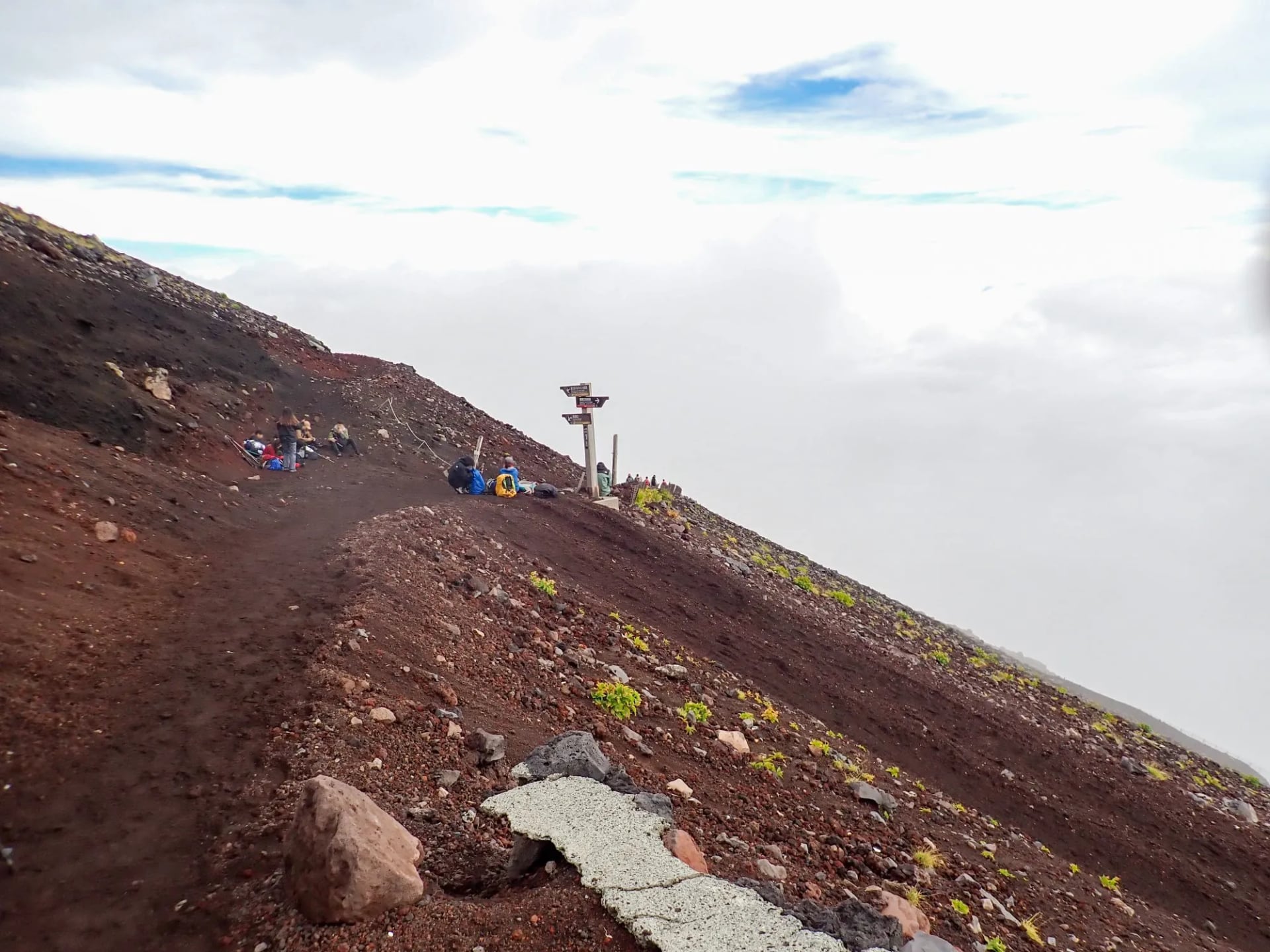
Fujinomiya starts highest and climbs least, Gotemba starts lowest and climbs most, and the two are nearly four hours apart on the way up for exactly the same summit.
Two things make the mountain stranger than its postcard. Everything above the eighth station is private land owned by a Shinto shrine, and the summit runs a post office that opens for the season. Fuji's last eruption began on 16 December 1707 and blew out the Hoei crater on the south flank, an hour from the Fujinomiya fifth station.
Mt. Fuji Fujinomiya Trail Trek
Distance: 4 to 7 km (2.5 to 4.5 miles) a day
Ascent: 290 to 1,200 m (950 to 3,940 ft) a day
Grade: fitness 4 of 5, technical 3 of 5
Sleeping: one night in a mountain hut with half board, one in a comfort hotel
Season: 10 July to 10 September, the legal climbing season on the Fujinomiya trail
Four days out of Tokyo on the shortest trail, with a hut night to break the ascent and put you high for the sunrise. The mileage is tiny and the fitness grade is not, which is the whole story of this mountain.
Day 2, the Fujinomiya trail: up from the fifth station at 2,400 metres to the hut, taking in the Hoei crater
Day 3, the summit: the pre-dawn start for the goraiko sunrise, the crater rim, and the descent
The hut night is the point of the itinerary rather than a convenience. Sleeping high is what puts you in position for the sunrise above the cloud, and it is also the acclimatisation that makes 3,776 metres bearable.
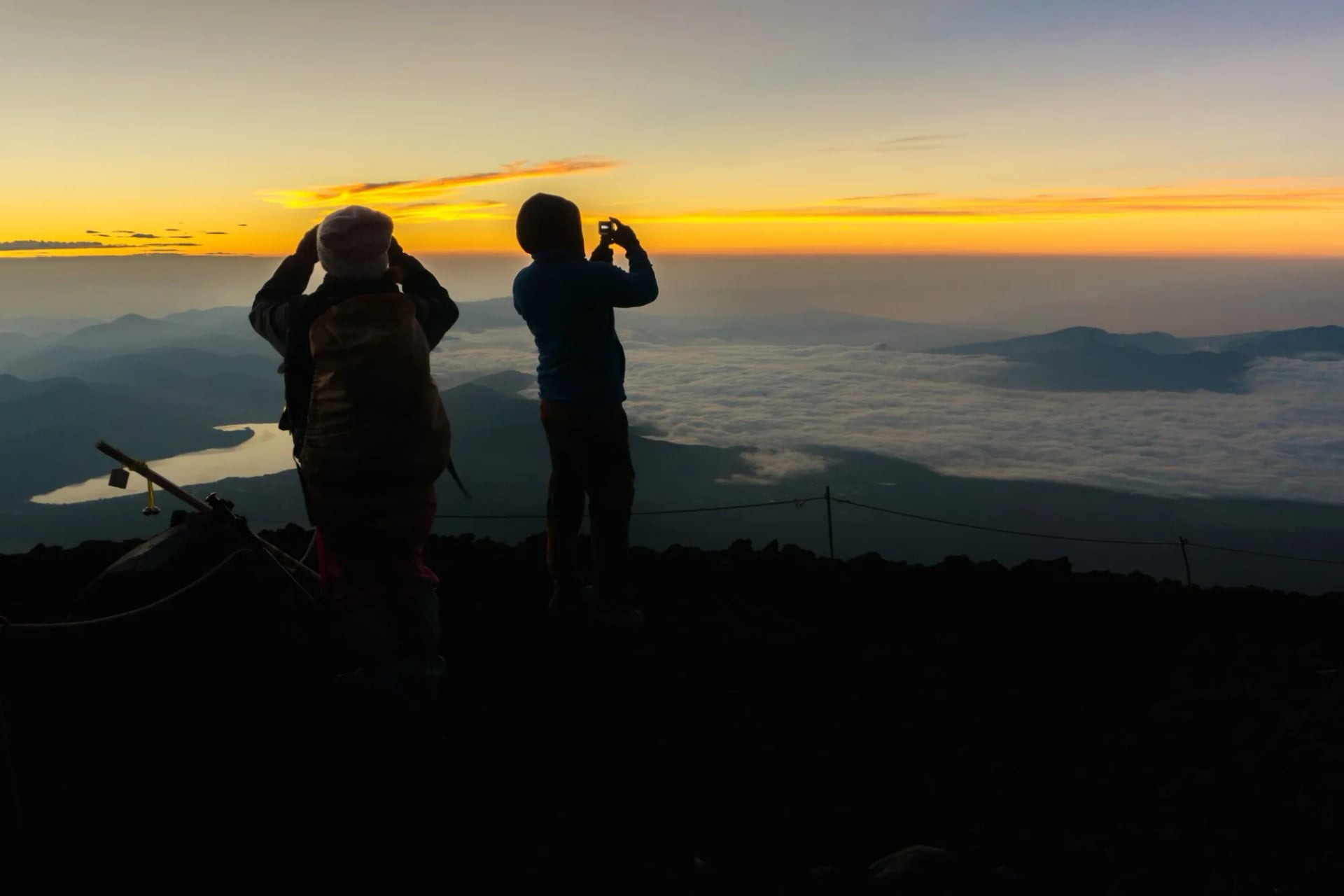
We use Fujinomiya rather than Yoshida because it is the shortest route from the highest trailhead, and it carries far fewer people, which is worth more here than the extra steepness costs you.
How Hard Is Hiking in Japan?
The figure that surprises people is the ascent, not the distance. A Panorama Ginza day climbs up to 1,250 m over 9.5 to 11.5 km, so the distances are short and the hours long, which is the standard shape of a Japanese alpine day.
The reason is that Japan hiking trails go straight up. There is very little switchbacking, so plan in hours rather than kilometres and expect a short steep day to eat one.
Mountain Huts
This is the part that decides whether an alpine trip happens at all. Japan mountain huts are staffed and catered like Alpine ones, but the booking system is far less forgiving.
Reservations are now required at most huts in peak season, each hut takes its own bookings, and there is no national booking portal. Most reservation pages open on one fixed date about six months ahead, at nine in the morning Tokyo time, and the popular summer weekends sell out within minutes.
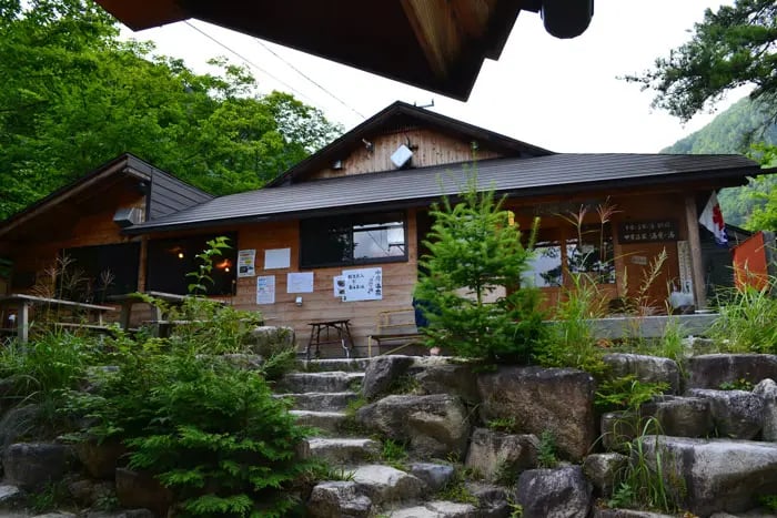
What you get is comfortable by mountain standards: a tatami floor with futons put out for you, dinner and breakfast, and a small shop at the larger huts. None of the high huts have showers. A dorm bed with two meals is the standard rate, published on each hut's own site, and you should carry cash because many take nothing else.
Ryokan and Onsen Nights
The lower routes swap huts for inns, and this is the real argument for the Kumano Kodo or the Nakasendo. You sleep in a village every night, in a family-run ryokan with a private room and a proper dinner.
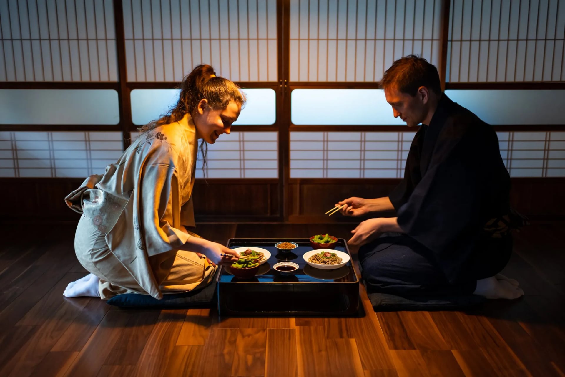
The evening has a shape to it. You arrive, you bathe before dinner rather than after, you eat a multi-dish set meal at a low table, and the futon appears while you are eating. Baths are single sex and nude, and tattoos are still refused at some places, so ask when you book if it matters.
Bears and Typhoons
Japan has two hazards European walkers do not plan for. Bear casualties hit a record in 2025, and the numbers are worth reading properly rather than panicking about.
The Ministry of the Environment recorded 216 attacks in fiscal 2025, with 13 killed, and sightings reached 50,776 against 20,513 the year before after a failed acorn crop. Geography helps: brown bears live only on Hokkaido, and most casualties were in Tohoku, the northern end of Honshu, far from any route here.
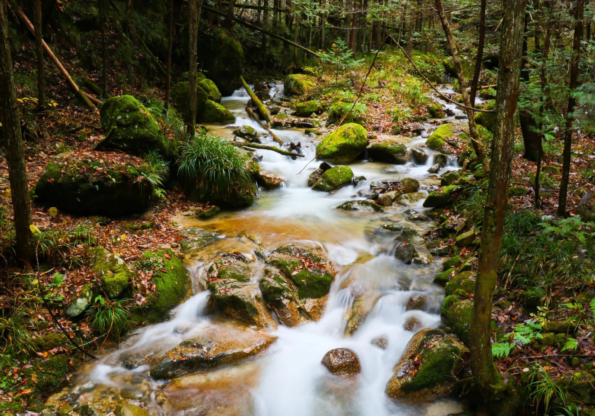
Carry a bell, make noise on blind corners, and keep food sealed. Alpine ridges above the treeline are low risk; forested approach paths at dawn are not.
Typhoons are the second and the more likely. The season peaks in August and September, storms bring days of rain rather than hours, and they usually pass in two or three days. The Japan Meteorological Agency is the source to watch, and build a spare day into any fixed itinerary in those months.
Know Before You Arrive
Payment. Japan is far less cashless than its reputation once you leave the cities. Huts, rural inns and trailhead buses frequently want cash.
Permits. Mount Fuji needs advance registration and a fee. Listed trails in Nagano, including all three Alps ranges, need a trekking itinerary filed before you walk, which the online Compass system does in English.
Camping. Restricted or banned in most national parks. In Kamikochi it is limited to the designated site at Konashidaira.
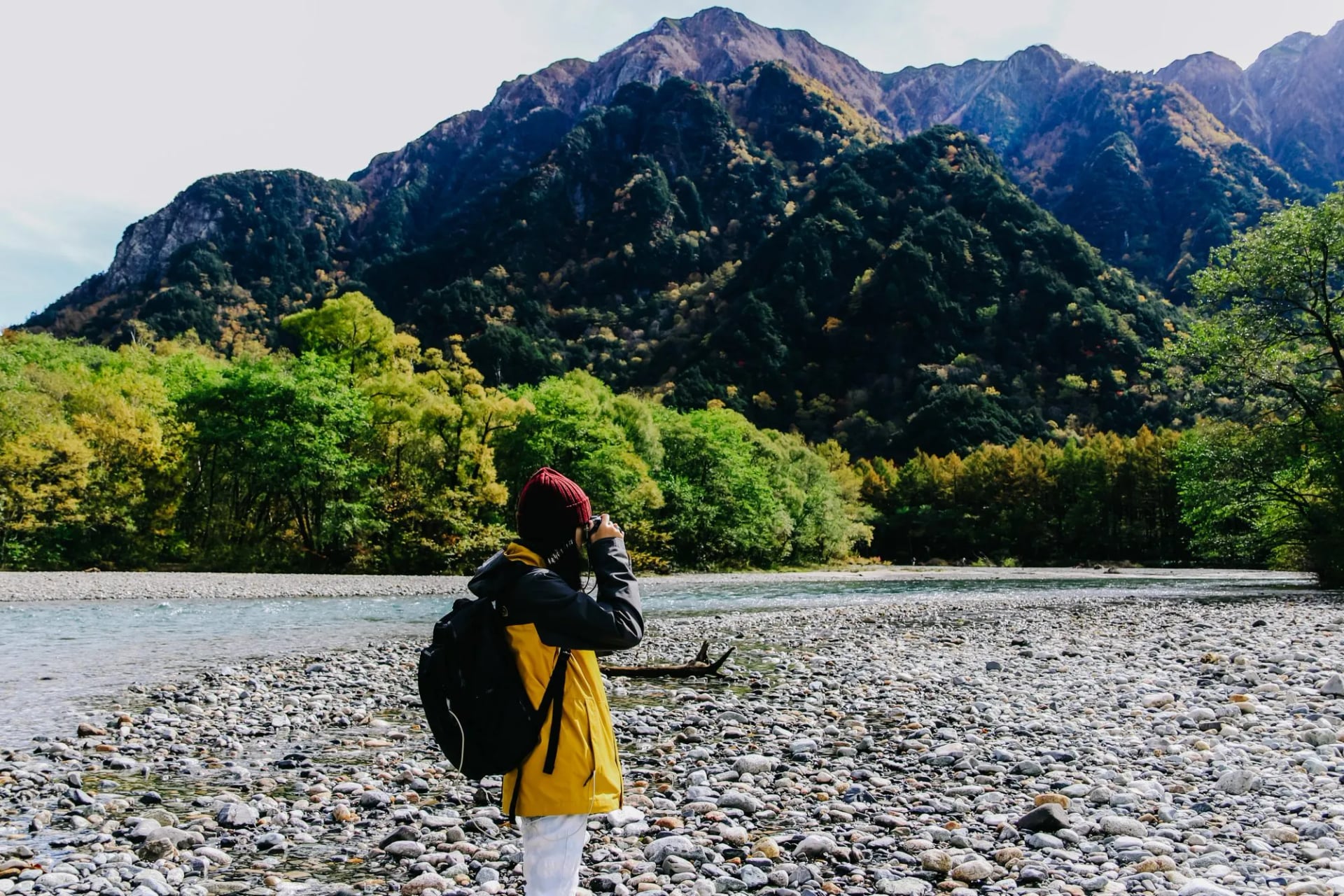
Local transport. The trains reach most trailheads. The exception is Kamikochi, where private vehicles are banned year round and everyone changes to a shuttle bus at Sawando or Akandana.
Maps. Yamap and Yamareco are what Japanese walkers use, and the trip reports matter more than the map because they say what the snow did last weekend.
Kit. Nothing unusual for the inn routes. The alpine weeks need a 25 to 45 litre pack, a down jacket, a headlamp and a liner, because there is no bag transfer.
Language. English on the trail is thin outside the Kumano Kodo. Signposts carry romanised place names but bus timetables do not, so download offline maps.
Frequently Asked Questions
Planning Your Trip
Work in this order. Month, then route, then beds, because the hut and inn dates are the only things here you cannot move.
If you would rather have the route, the beds, the bag transfers and the navigation handled, our Japan hiking tours cover all four routes above. The two pilgrimage routes also sit under our pilgrimage tours.
New to the format? Self-guided tours explained covers what makes Japan walking tours manageable without the language.
Tell us your dates and your fitness and you will get an honest answer about what fits. Start on our inquiry page.

About this author
Jon is our travel advisor and an outdoor adventurer who is happiest on the move. While mountain biking is his personal passion, he thrives on crafting hiking adventures for others — planning routes and adding the little touches that turn a trip into a core memory.















.jpg&w=828&q=75)












































.jpg&w=828&q=75)























