The Rota Vicentina: A Coast and Interior Walking Guide
The Rota Vicentina is a network of two long-distance trails in Portugal's southwest — the Fishermen's Trail on the coast and the Historical Way inland.

Jon
Published September 7, 2026
Edited September 7, 2026
10 min read
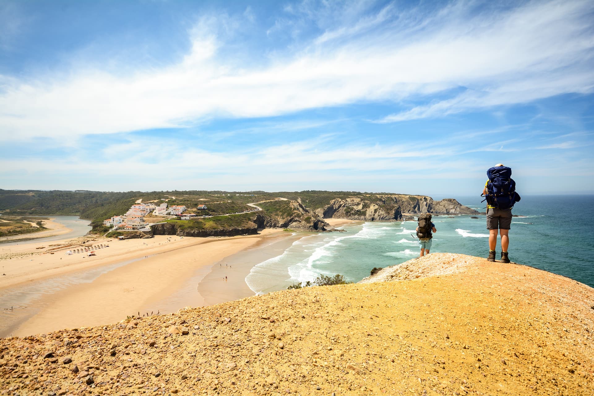
Rota Vicentina is a network of walking trails in the southwest of Portugal, all within a single natural park that faces the Atlantic between the Alentejo and the Algarve.
Two long-distance trails run through the park: the Fishermen's Trail follows the cliff edge for 226.5 km on soft coastal sand, and the Historical Way threads the interior villages through cork oak forest for a similar distance.
The first decision is which of the two trails you walk. Everything else — the season, the daily distance you'll actually manage, and where you sleep each night — flows from that choice. Both are well waymarked, both are inn-to-inn, and both are best walked outside of high summer.
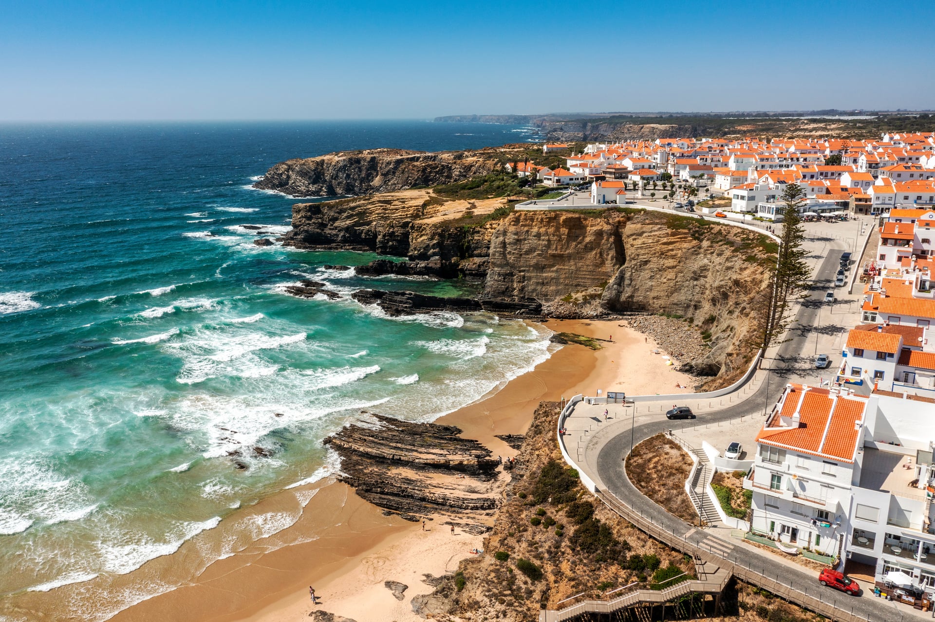
In short:
Where: the southwest of Portugal, inside the Southwest Alentejo and Vicentine Coast Natural Park.
What: a walking network centred on two long-distance trails — the Fishermen's Trail (coastal) and the Historical Way (inland) — plus 24 shorter circular routes.
How hard: 2/5 fitness for a shorter itinerary, up to 4/5 for the full two-week traverse. Technical demand is 2/5 across the network.
When: March–May and October are the best months. High summer is too hot on the coast, and December–February is wet.
The Two Trails
The two long-distance trails share the same park, the same green-and-blue waymarking, and the same overall geography — but they walk very differently underfoot and offer different reasons to be there.
Fishermen's Trail | Historical Way | |
|---|---|---|
Length | 226.5 km | 263 km |
Stages | 13 | 13 |
Surface | Cliff-tops and soft coastal sand (60–70% of the trail) | Cork oak forest, packed earth, and old drovers' roads |
Scenery | Atlantic cliffs, beaches, coves, seabird colonies | Wildflowers, whitewashed villages, agricultural land |
Official difficulty | Somewhat difficult (mostly because of the sand) | Easy |
Best for | Coast lovers and first-time visitors after the classic scenery | Walkers who prefer shade, firmer ground, and more villages |
Best months | March–May and October | March through early June, plus October |
You can also combine the two trails. Both start close together in the north and finish at the same point in the south — Cabo de São Vicente, the south-westernmost tip of continental Europe — and they cross each other at several villages, including Odeceixe and Aljezur. Some walkers spend three or four days on the coast, then hop inland for the remainder of their trip when the sand starts to wear on their feet.
Both are 2/5 technical on our own fitness and difficulty scale, so the technical demand is close between them. The differences that matter most are on the fitness side, and they come down to the surface and the daily stage length. Turismo de Portugal's regional overview of the Rota Vicentina is a useful complement to the official trail site if you'd like the wider destination context.
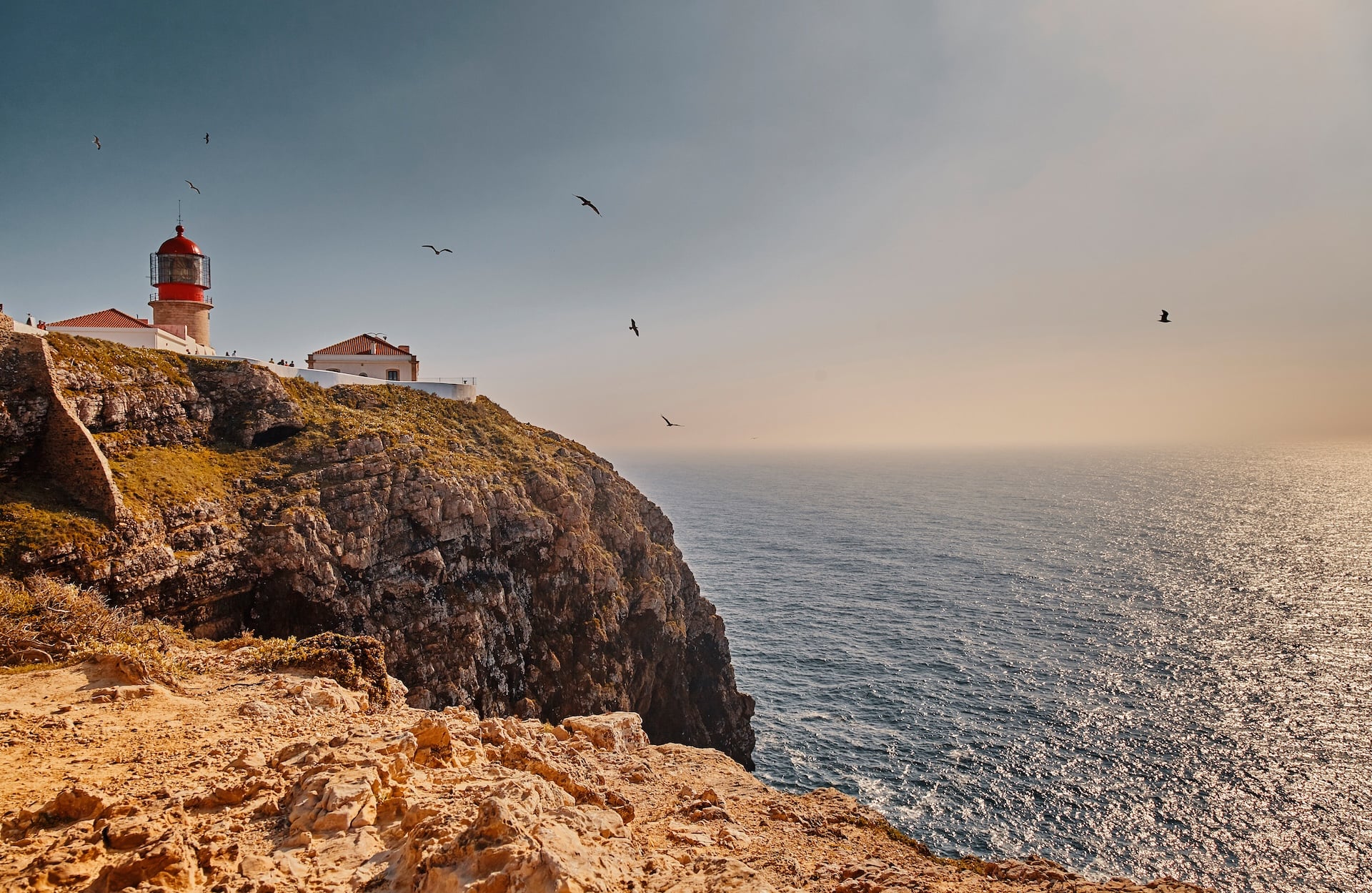
The Fishermen's Trail
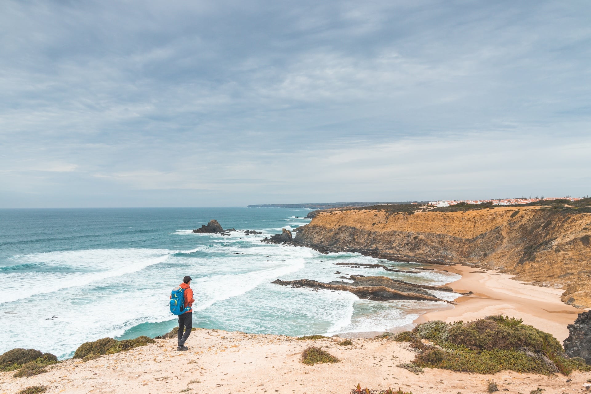
The Fishermen's Trail is the route people usually mean when the conversation comes to “Rota Vicentina”. It covers 226.5 km in 13 stages along the southwest Portuguese coast, running from the Alentejo down through the northern Algarve, and stays within a few hundred metres of the ocean for almost its entire length. The original path was worn by fishermen reaching isolated coves and cliff bases, and the modern trail still passes those same spots.
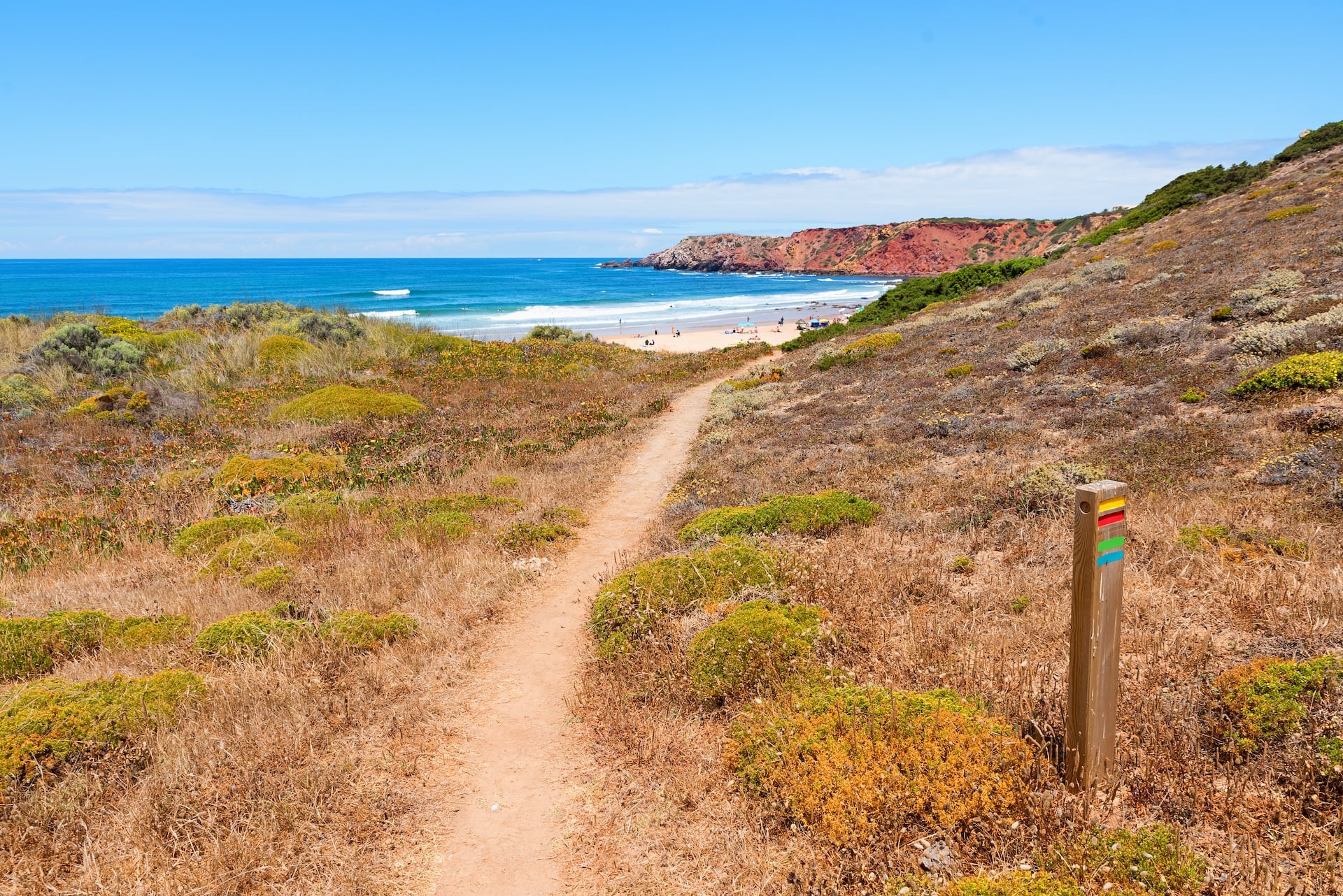
Stages range from 15 to 22.5 km. What makes them harder than the numbers suggest is the surface: the official trail is 60–70% sand, either along the cliff-tops or on stretches of beach itself.
Map of The Trail
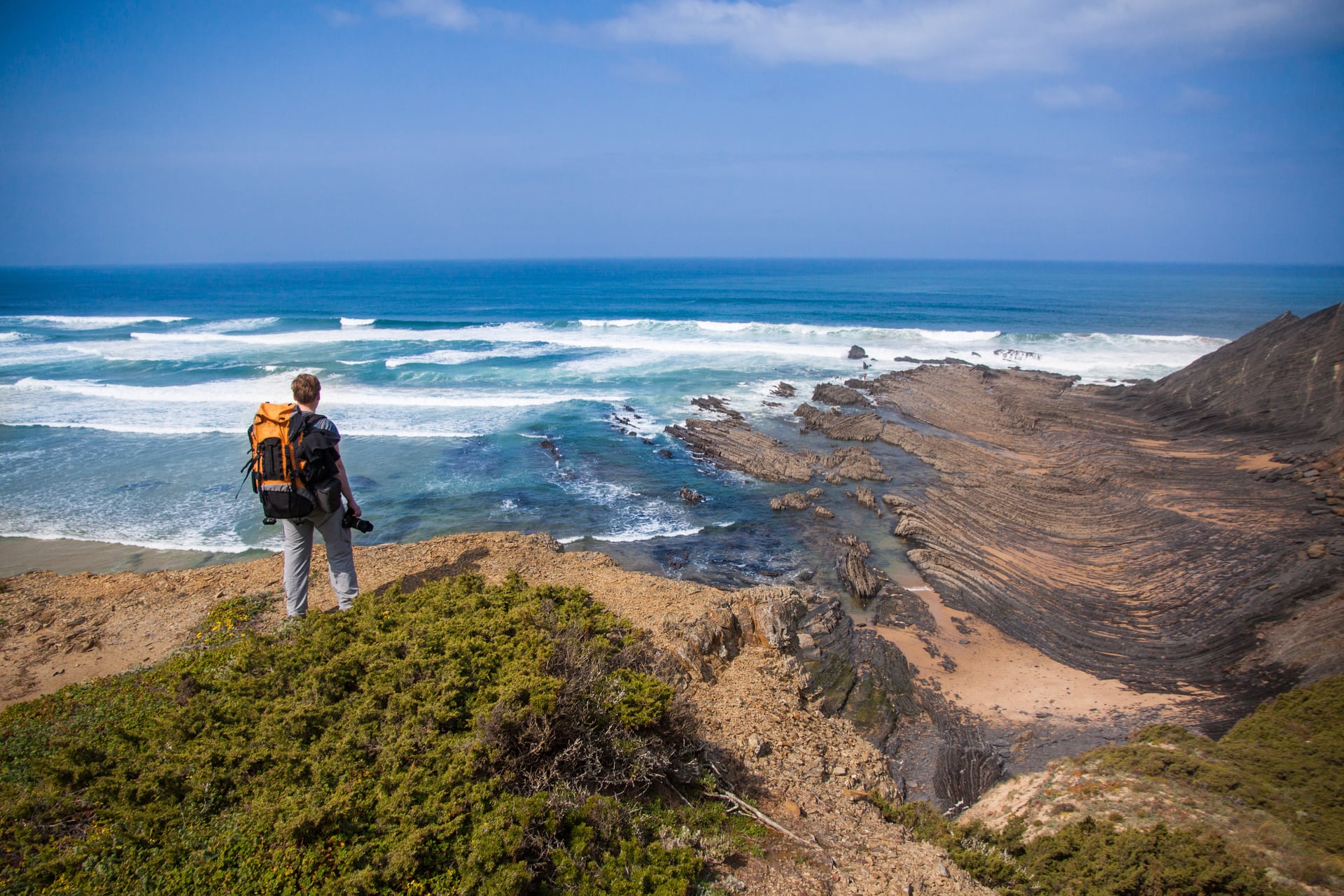
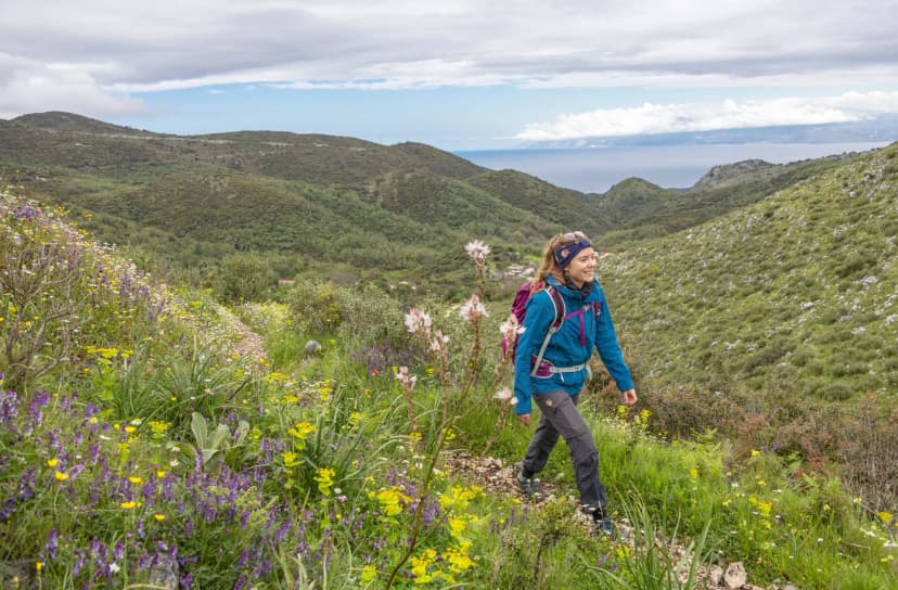
The scenery, on the other hand, is what draws most walkers here. Atlantic cliffs run more or less continuously, punctuated by hidden beaches and small coves you'd never reach except on foot — it's among the finest coastal walking in Europe. In April and May the cliff-tops are dense with wildflowers — pale-yellow gorse, purple sea rocket, wild rosemary — and in early autumn the light softens into something quite beautiful. There is almost no shade beyond the occasional pine or fig tree near a village. On sunny days, that lack of shade shapes everything about how you plan the day.
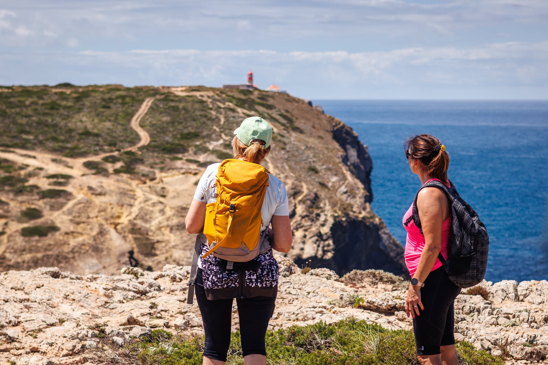
If you'd like to walk the finest coastal stages without committing to the full fortnight, our six-day itinerary covers the most dramatic northern half — from Porto Covo down to Odeceixe — and stops before the warmer southern stages.
For walkers who want to complete the trail end to end, our full itinerary covers the entire 226.5 km in stages, walking the length of the Alentejo and the northern Algarve coast across two weeks.
The Historical Way
The Historical Way (Caminho Histórico) covers 263 km in 13 stages from Santiago do Cacém to Cabo de São Vicente, running parallel to the Fishermen's Trail but staying 5–20 km inland. Where the coastal trail is about cliffs and sand, this one is about villages, cork oaks, and the slower interior of the Southwest Alentejo.
The surface is firmer — packed earth tracks, forest paths, and old drovers' roads — which makes the daily walking noticeably easier on the feet. Stage lengths are a touch longer, typically 16–25 km, and include a little more elevation gain, but most walkers who've done both trails find the Historical Way less tiring per kilometre.
Map of The Trail
Its official difficulty rating is “easy,” and in 2016 and again in 2020 it was awarded the European Ramblers Association's “Leading Quality Trails — Best of Europe” certification.
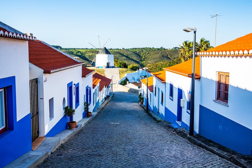
Along the way, you pass through more inland villages, and most stages end in one. That means bakeries, cafés, and proper meals are easier to come by than on the coast, and the daily rhythm feels more like a European village-to-village walk than a wilderness route. The trail also passes several small archaeological sites, including Roman-era mining ruins near São Domingos and medieval hilltop villages like Cercal do Alentejo.
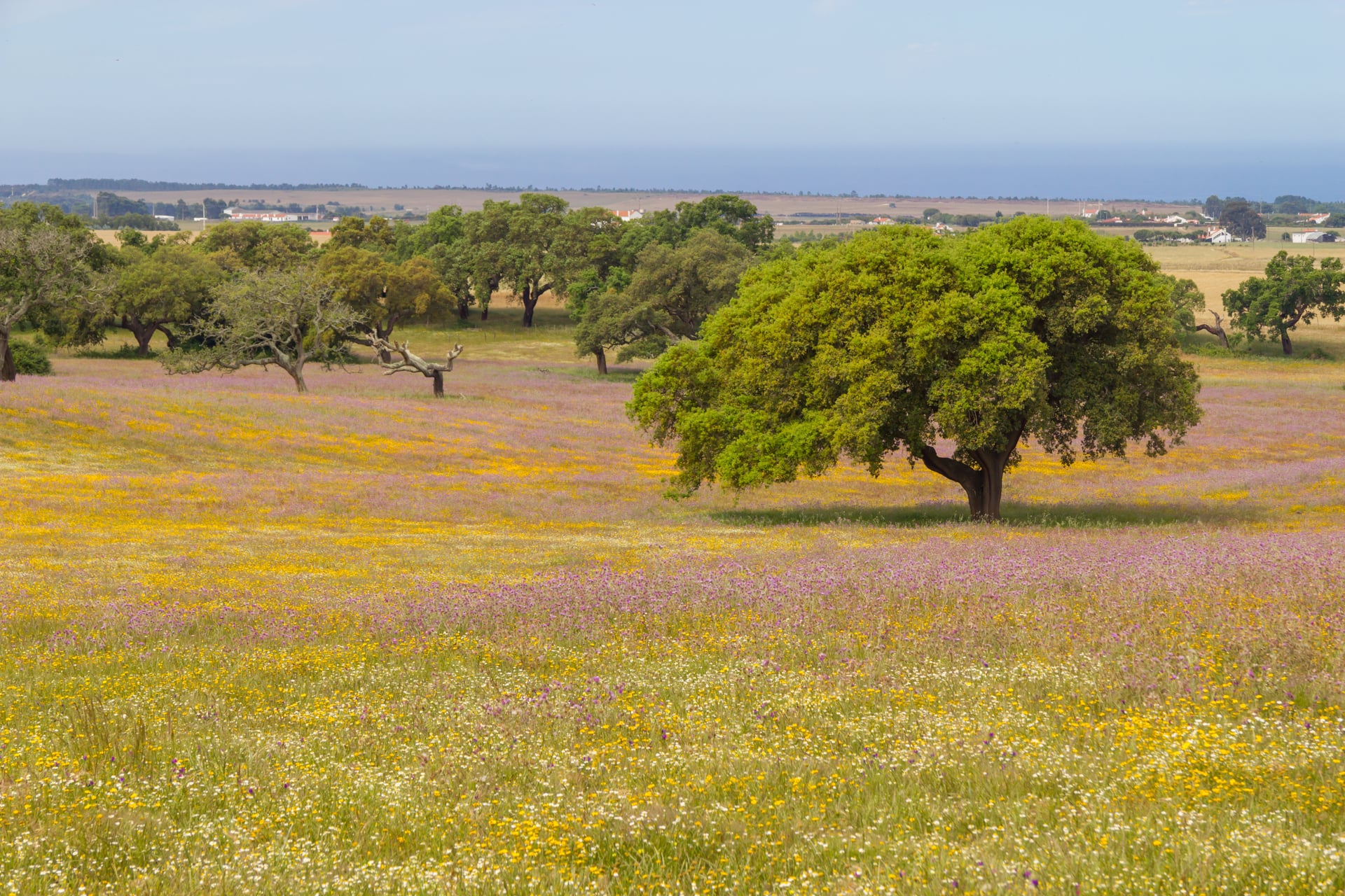
Our eight-day Historical Way itinerary covers the most rewarding half of the trail — from Santiago do Cacém south through the interior to Odeceixe, where the two networks meet.
The Circular Routes
Alongside the two long-distance trails, the Rota Vicentina network includes 24 circular routes — shorter loops of up to 16 km each that start and end in the same village or trailhead. They're designed to be walked in half a day or less, and they exist to add depth to the region for walkers who don't want to commit to a full long-distance trail, or for anyone who wants to explore a smaller pocket of the park in more detail.
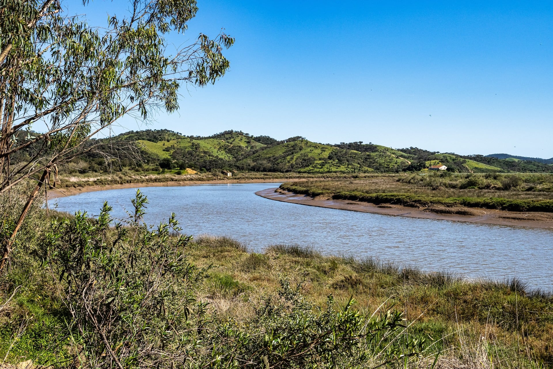
The circular routes are also useful as rest days on longer itineraries. If you're walking the Fishermen's Trail and want a day off from sand without losing a walking day, one of the inland loops around Aljezur or Bordeira makes a good half-day alternative. Between them, the circular walks cover things the main trails only skirt — river valleys, minor waterfalls, rural chapels, and small archaeological sites — and each is waymarked to the same standard as the two long-distance trails.
When to Walk
The Rota Vicentina's walking season splits sharply by month, and choosing the wrong window can turn a beautiful trail into a difficult one — especially on the coast.
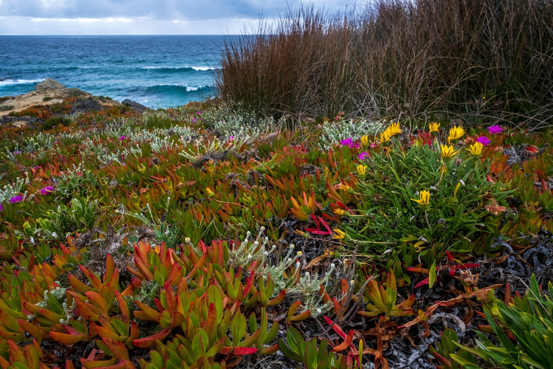
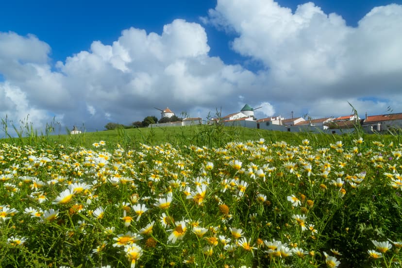
March–May. The best months on both trails. Wildflowers peak in April, temperatures sit in the high teens to low twenties, and rain is uncommon by mid-March. This is the busy season, so book accommodation early.
June. The first two weeks are still workable, but by mid-month the coast becomes uncomfortably warm. The Historical Way, with its inland shade, holds up a little longer.
July and August. Both trails are difficult in high summer. The Fishermen's Trail combines direct sun, no shade, and sand — a combination that has led to medical incidents in past years. If your travel dates are fixed to July or August, consider walking in northern Portugal (Peneda-Gerês stays cool at altitude) rather than pushing through here.
September. The coast is still hot in early September, but conditions improve markedly after the 15th. By late September, the Fishermen's Trail is close to its best again, and the summer crowds have gone.
October. The other sweet spot. Light softens, wildflowers make a brief return, and the Atlantic remains warm enough for a swim. Rain risk begins to rise after the 20th.
November–February. Both trails are technically walkable but wet, often stormy, and with reduced daylight. Some guesthouses close for the winter. Best reserved for experienced walkers who don't mind the weather.
For reliable information on the spot, the official Portuguese weather service, IPMA, is the authoritative source for weather forecasts and warnings.
Where to Sleep
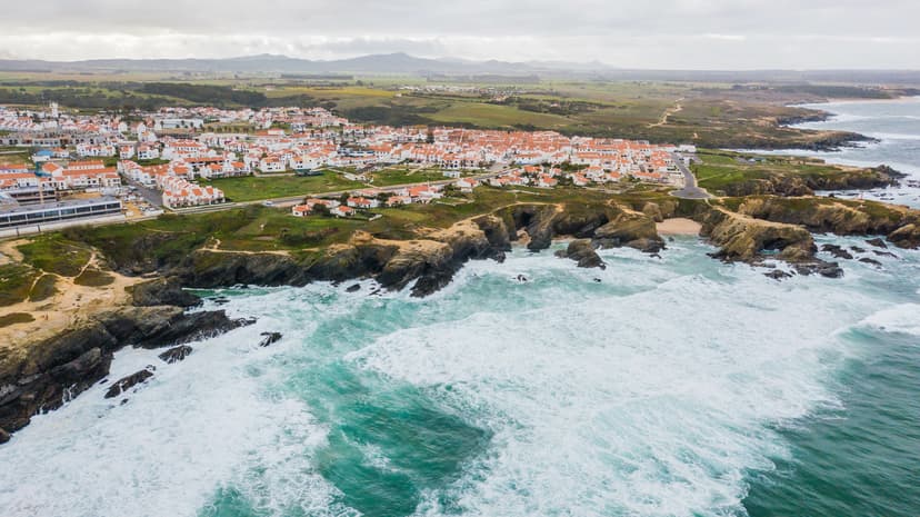
Most stages on both trails end in a small village or town, and that's where you'll find accommodation. Wild camping is illegal inside the natural park, and the parks are actively patrolled in high season. Every practical itinerary is inn-to-inn or guesthouse-based, and that's how the network is designed to be walked.
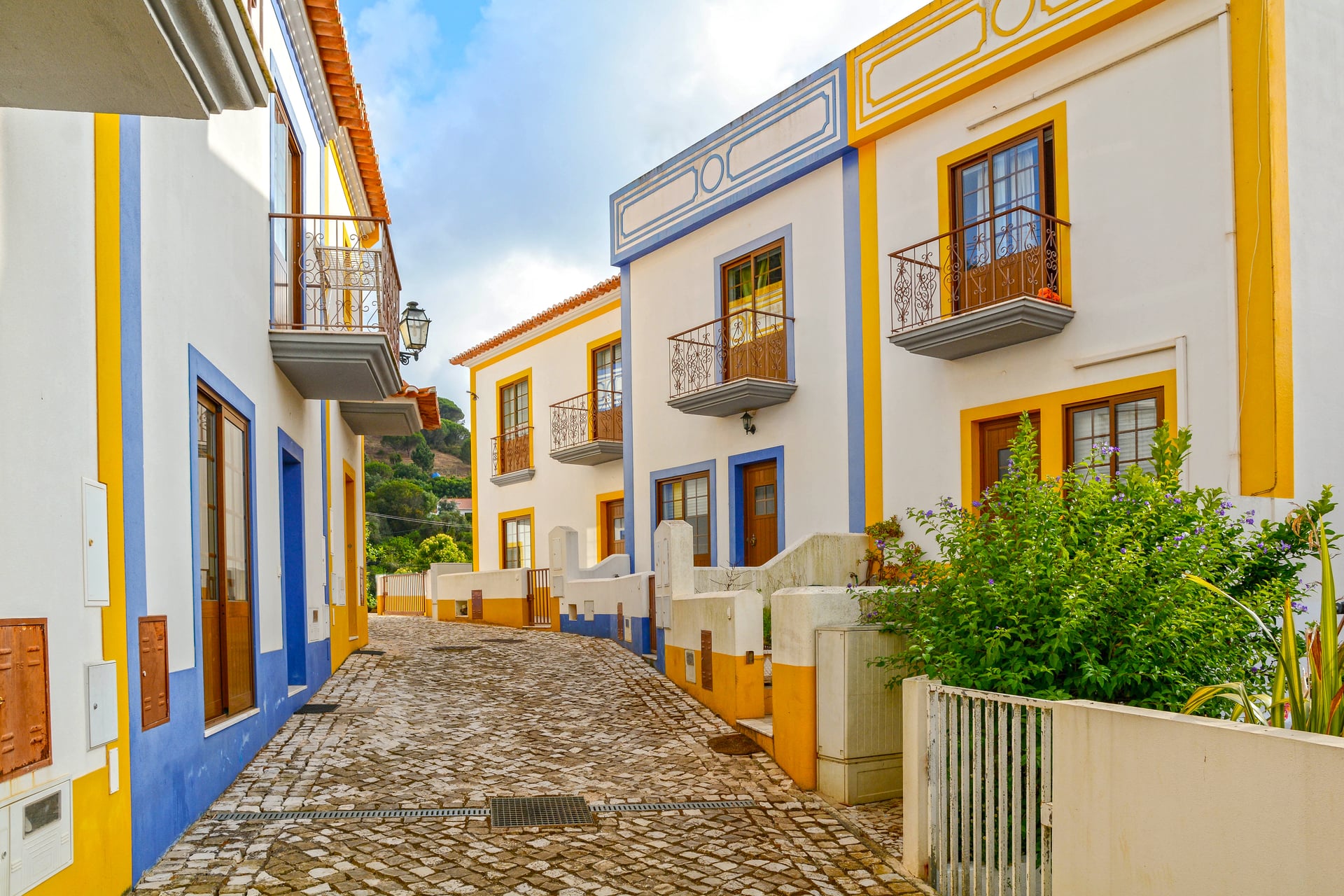
Four villages on the network worth knowing about, whether you're planning your own trip or comparing tour operator itineraries:
Booking early matters more here than on most European long-distance trails. In the peak shoulder months, guesthouses in the smaller villages fill six to eight weeks ahead of arrival. Package tours secure their room blocks earlier still, which is one of the practical reasons walkers often choose a self-guided package over piecing an itinerary together themselves.
Choosing Your Rota Vicentina Walk
Which trail you walk usually comes down to two things: how you feel about coastal sand, and how much shade you want on a hot day.
If you're drawn to Atlantic cliffs and don't mind the extra effort underfoot, the Fishermen's Trail is the classic choice.
If you'd rather have firmer ground, more villages, and a slightly gentler daily rhythm, the Historical Way is the better fit.
All three of our Portugal walking tours on this coast are self-guided — accommodation bookings, luggage transfers between stages, a digital guidebook, and phone or WhatsApp support are all included, so you can focus on the walking. If you're still weighing the Rota Vicentina against Portugal's other hiking regions, our Portugal walking guide covers all six in one place.
Have more questions? Get in touch with our team — we'll help you match a tour to your fitness, your travel dates, and the kind of walking you're after.

About this author
Jon is our travel advisor and an outdoor adventurer who is happiest on the move. While mountain biking is his personal passion, he thrives on crafting hiking adventures for others — planning routes and adding the little touches that turn a trip into a core memory.












































.jpg&w=828&q=75)
