Hiking in Germany: 12 Trails Across 8 Regions
Germany has 300,000km of marked trails. Twelve routes across eight regions, with real distance, ascent and season for each, from the Alps to Lüneburg Heath.

Jon
Published September 14, 2026
Edited September 16, 2026
25 min read
Quick links
When people plan an alpine hiking trip, Switzerland and Austria come up first. Germany rarely does. The country has 300,000 kilometres of marked trails and 16 national parks, and almost none of that reaches an international audience.
The range is the surprise. Limestone summits above 2,900 metres in the Bavarian Alps, volcanic crater lakes in the Eifel, sandstone canyons on the Elbe, and 223 kilometres of flat heath south of Hamburg. Our hiking tours in Germany run across most of it.
The two regions that draw the most questions have guides of their own. Hiking in Bavaria covers the Alps in detail, and hiking in the Black Forest covers the four long-distance trails in the southwest. This page is the map of the whole country.
The trail infrastructure is the reason to come. Waymarking is maintained to a standard rare in Europe, regional rail reaches almost every trailhead, and luggage transfer runs on certified routes. Huts and guesthouses are built into the system, not bolted on as extras for visitors.
The 12 Best Hikes in Germany
Twelve routes follow, covering eight regions. Four sit in the Bavarian Alps and two in the Black Forest, and the remaining six spread across Saxon Switzerland, the Rhine gorge, the Harz, the Eifel, Thuringia and the northern heath. Together they take in the highest ground in the country and the flattest, and the walking on them has almost nothing in common.
Distances run from 71 kilometres to 320, and stage counts from three days to 21. They are ordered by region, from the Alps in the south to the flat ground near Hamburg. Every entry carries its real distance, ascent and season window, because those three numbers decide most trips. A route is called demanding here when it is steep and sustained, not when it needs equipment.
1. Zugspitze: Highest in Germany
Region: Bavarian Alps, Wetterstein massif
Distance: 38 km
Stages: 3 walking days
Ascent: around 2,600 m
High point: 2,962 m
Season: July to September
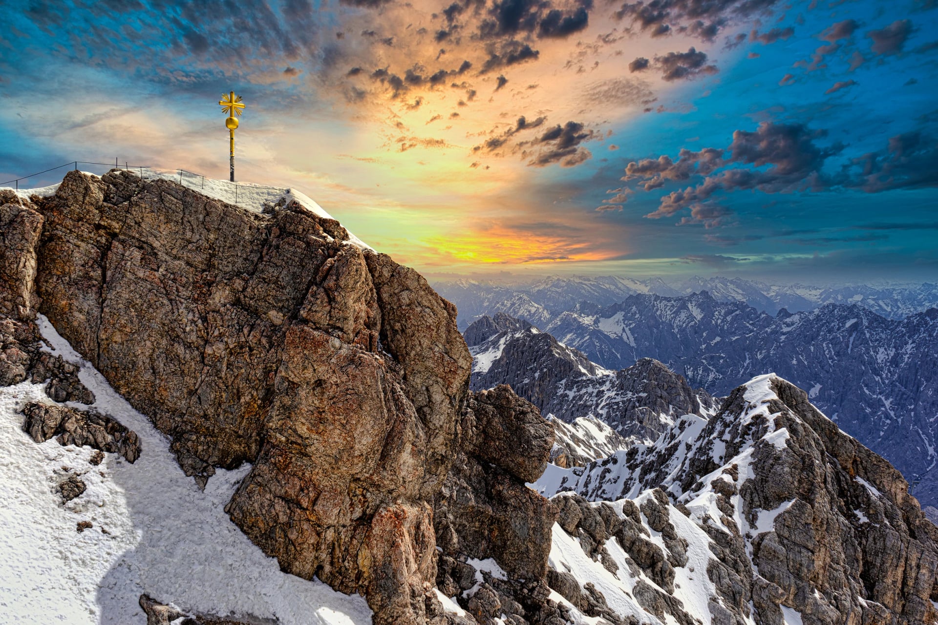
Germany's highest mountain is the most recognisable objective in the Bavarian Alps. The classic line is the Reintal approach from Garmisch-Partenkirchen, which climbs through a limestone gorge that narrows as it rises. The route is demanding but needs no technical equipment, which is why it carries most of the traffic.
Day one follows the valley floor beside the river, through a corridor of pale rock and spruce. Day two begins in forest and ends above it, where the Reintal opens onto a high glacial bowl with limestone walls on three sides. The path then climbs sharply to the Knorrhütte at 2,052 metres.
Day three is the summit push. The final approach crosses exposed ground where the Zugspitze Glacier sits beside the path, its surface grey with meltwater channels. Austria and Bavaria spread in every direction from the top, and you can descend on foot or take the cable car down.
2. Watzmann Above Berchtesgaden
Region: Berchtesgaden National Park
Distance: 36 km
Stages: 4 walking days
Ascent: around 3,200 m
High point: 2,713 m
Season: mid-June to early October
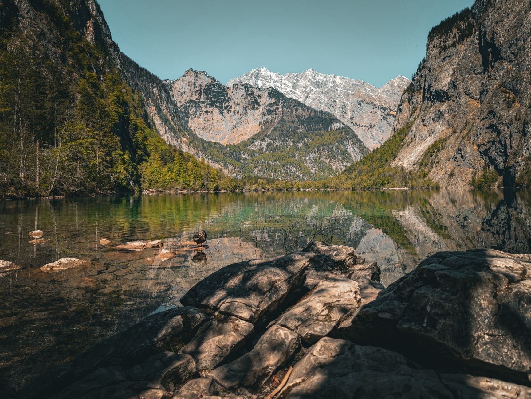
The Watzmann is Germany's third-highest peak and a completely different proposition from the Zugspitze. It is wilder, more exposed, and far less visited by international hikers. The mountain looms over Königssee, a glacial lake whose walls are so sheer that the boats cross it in near silence.
The standard route climbs through beech forest from Berchtesgaden, gaining around 1,300 metres to the Watzmannhaus at 1,930 metres. Above the hut the environment changes completely. The summit ridge is a limestone arête with drops on both sides, fixed cables in the steepest sections, and hands needed throughout the upper third.
Reaching the Mittelspitze at 2,713 metres takes a full day from the hut with an early start. You want to be off the ridge before midday storms build. This is not a route for anyone new to exposed mountain terrain, and the via ferrata sections assume prior experience on fixed cables.
3. Lechweg: The Lech River Trail
Region: Allgäu and the Tyrolean Lech valley
Distance: 125 km
Stages: 8 walking days
Ascent: around 2,000 m
High point: roughly 1,200 m
Season: May to October
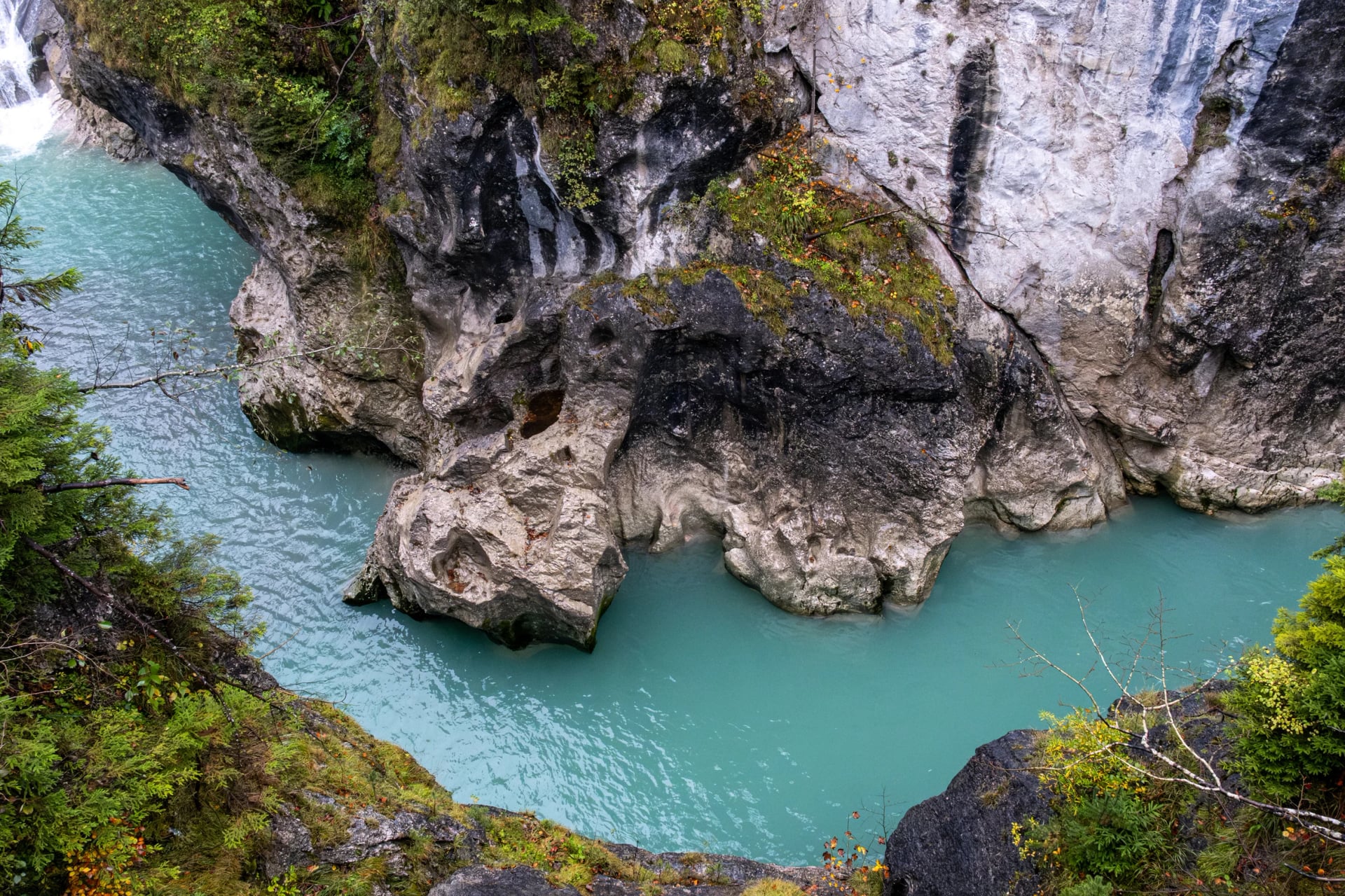
The Lech is a glacier-fed river that runs the colour of pale jade. It drops through a series of tight gorges in its upper reaches before widening into the Allgäu, and the trail follows it the whole way. The route starts in the Austrian Alps and crosses into Germany, which makes it one of the few German trails that crosses a border on foot.
The walking stays at valley and mid-mountain level throughout. Gradients are manageable, daily distances sit around 16 kilometres, and the route is far quieter than the trails around Garmisch. The suspension bridge at Holzgau spans a gorge 100 metres deep, with the river audible but barely visible below.
This is the entry point to the Alps for walkers who want eight days in mountain country without altitude. Nothing on the route needs a head for heights, and every stage ends in a village with a guesthouse. The Lech is also one of the last wild river systems in the northern Alps, which is why so much of the valley is protected.
4. Bavarian Alps Inn to Inn
Region: Zugspitze massif to the Chiemgau Alps
Distance: 71 km
Stages: 6 walking days
Ascent: around 4,100 m
High point: 1,838 m on the Wendelstein
Season: late May to mid-October
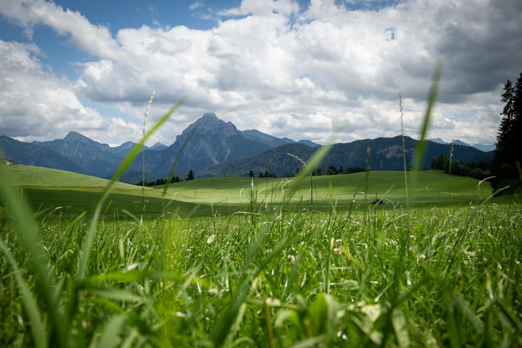
Not everyone comes to the Bavarian Alps for a summit. The terrain between the Zugspitze massif and the Chiemgau Alps suits a traverse, and the walking stays mostly between 700 and 1,600 metres. That band is high enough for wide views and alpine meadows, low enough to avoid technical ground.
Paths cross from one valley system to the next over low passes. The villages in between are working places where the church is the tallest building and the guesthouse has served the same Brotzeit for decades. Daily distances run from 9 to 16 kilometres, which leaves time in the afternoons.
The trade-off is a fair one. You give up the summit views of the Reintal route and gain eight nights in beds instead of dormitories. Luggage transfer runs on the whole route, so the daypack is all you carry.
5. Schluchtensteig Gorge Trail
Region: Southern Black Forest
Distance: 119 km
Stages: 6 walking days
Ascent: 3,180 m, with 3,290 m of descent
High point: 1,148 m at Krummenkreuz
Season: May to October
The Schluchtensteig is the defining trail of the southern Black Forest, running from Stühlingen to Wehr through seven gorges. Stages average 20 kilometres. The German Hiking Association holds it to Quality Trail certification, which covers waymarking, surface and the density of accommodation.
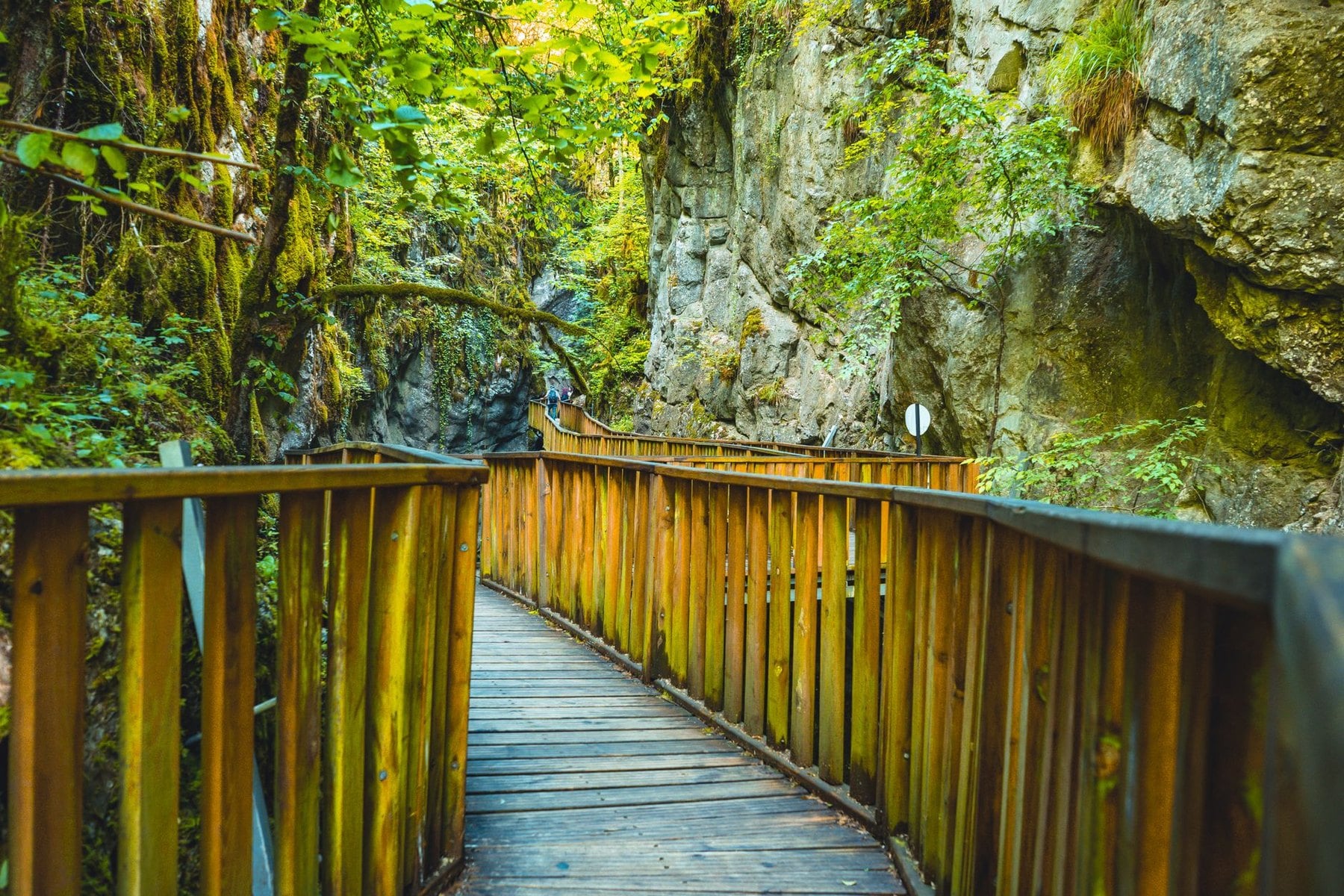
Each gorge has its own character. Stage two enters the Wutachschlucht, the deepest and most dramatic, where the path is cut into a canyon wall of red sandstone and the river appears below through beech canopy. Stage four passes Lake Schluchsee at 952 metres and descends to the Haslach gorge through mixed forest.
An 8-metre fixed ladder and several narrow traverses mean the trail asks for confidence as well as fitness. Stage five passes the baroque cathedral at St. Blasien, an improbable dome rising from a valley of dark forest. Do not walk this route in winter, because the gorge sections become life-threatening under ice.
6. Westweg in the Black Forest
Region: Black Forest, Pforzheim to Basel
Distance: 285 km
Stages: 12 to 14 walking days
Ascent: around 8,000 m
High point: 1,493 m on the Feldberg
Season: late April to late October
The Westweg is Germany's oldest long-distance trail, created by the Black Forest Association in 1900. It runs the full length of the range from Pforzheim to Basel, marked throughout with a red diamond on white. Most stages carry 600 to 900 metres of ascent, and the ridge rises and falls repeatedly across all 285 kilometres.
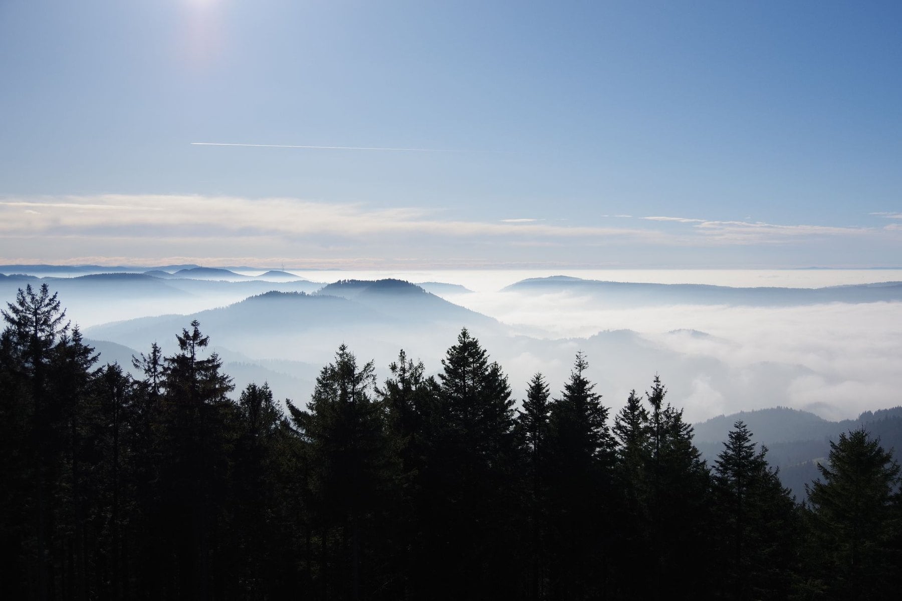
The trail crosses the Mummelsee, a dark circular lake at 1,036 metres, before climbing to the Hornisgrinde at 1,163 metres where the trees give way to open moorland. Further south it reaches the Feldberg, the highest summit in the Black Forest. On a clear day the summit plateau gives a view to Mont Blanc.
A route split near Titisee offers a choice. The western variant crosses Belchen at 1,414 metres and faces across the Rhine to France; the eastern alternative is quieter, crossing the open farmland of the Dinkelberg. Both converge for the final approach to Basel, which has direct rail connections to Zürich, Frankfurt and Paris.
7. Malerweg in Saxon Switzerland
Region: Saxon Switzerland National Park
Distance: 116 km
Stages: 8 walking days
Ascent: around 450 m per day
High point: 427 m at Pfaffenstein
Season: April to October
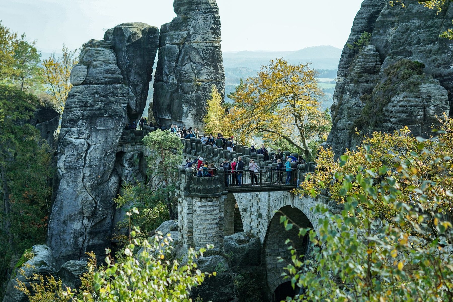
Saxon Switzerland looks like nowhere else in Germany. The Elbe has cut through sandstone for millions of years, leaving towers, natural arches and canyon walls in pale ochre and grey. There is almost no altitude here, with the valley floor at around 100 metres, and the terrain is still constantly interesting.
The Malerweg follows paths that Romantic-era painters documented in the 18th and 19th centuries. Stage two reaches the Bastei, a sandstone formation jutting over the Elbe at 305 metres, reached by a bridge connecting six stone pillars. From the bridge the river is 194 metres straight below.
Stage seven crosses the Schrammsteine, a corrugated ridge of sandstone fins connected by chains and iron rungs. The final stage traverses the Nadelöhr, a rock passage barely wide enough for a backpack. Book accommodation well ahead, because the guesthouses in the Elbe valley villages fill early in summer.
8. Rheinsteig Above the Rhine
Region: Right bank of the Rhine, Bonn to Wiesbaden
Distance: 320 km
Stages: 21 walking days
Ascent: 10,000 to 12,000 m total
High point: roughly 500 m
Season: April to October
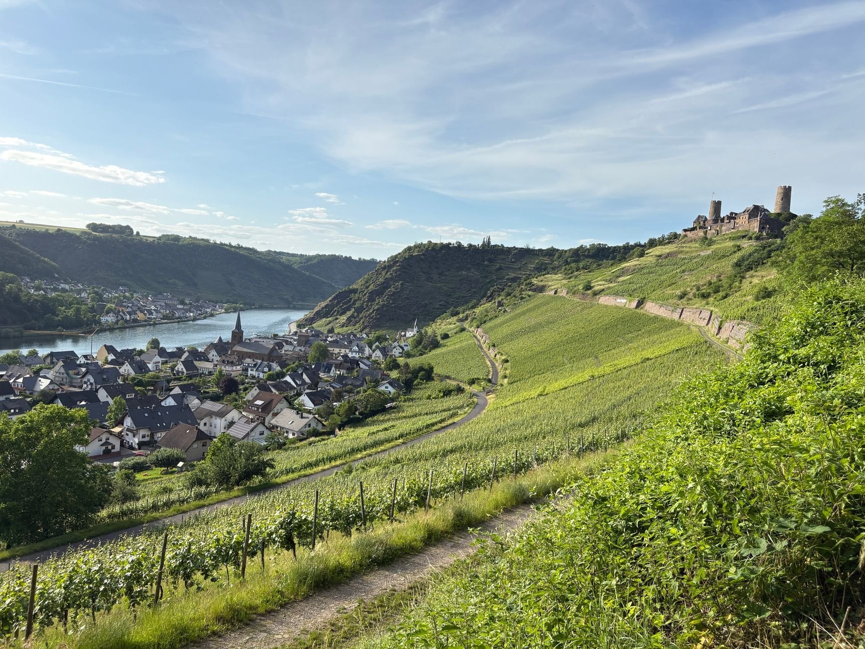
The Rhine between Bonn and Wiesbaden is Germany's most historically layered landscape. The Upper Middle Rhine Valley has been a UNESCO World Heritage Site since 2002 and holds 40 castles, palaces and fortresses. The trail walks past them on the hillside above, looking down on Marksburg, Burg Katz and Ehrenbreitstein from the vine-covered slopes.
Stages average 15 to 23 kilometres and carry around 500 metres of climb each. The opening stages through the Siebengebirge above Bonn are forested and gentle, good walking-in days before the Rhine comes into view at the Drachenfels. Mid-route the trail narrows as it approaches the Loreley, a slate cliff 132 metres high above a sharp bend in the river.
By the final stages the path descends into the vineyards of the Rheingau, crossing between riesling rows in late September with the harvest under way. This is a cultural trail, not an alpine one. It suits walkers who want daily interest from history, geology and river views instead of altitude and remote ground.
9. Harzer Hexenstieg in the Harz
Region: Harz mountains, Lower Saxony and Saxony-Anhalt
Distance: 97 km
Stages: 5 walking days
Ascent: around 2,300 m
High point: 1,141 m on the Brocken
Season: May to October
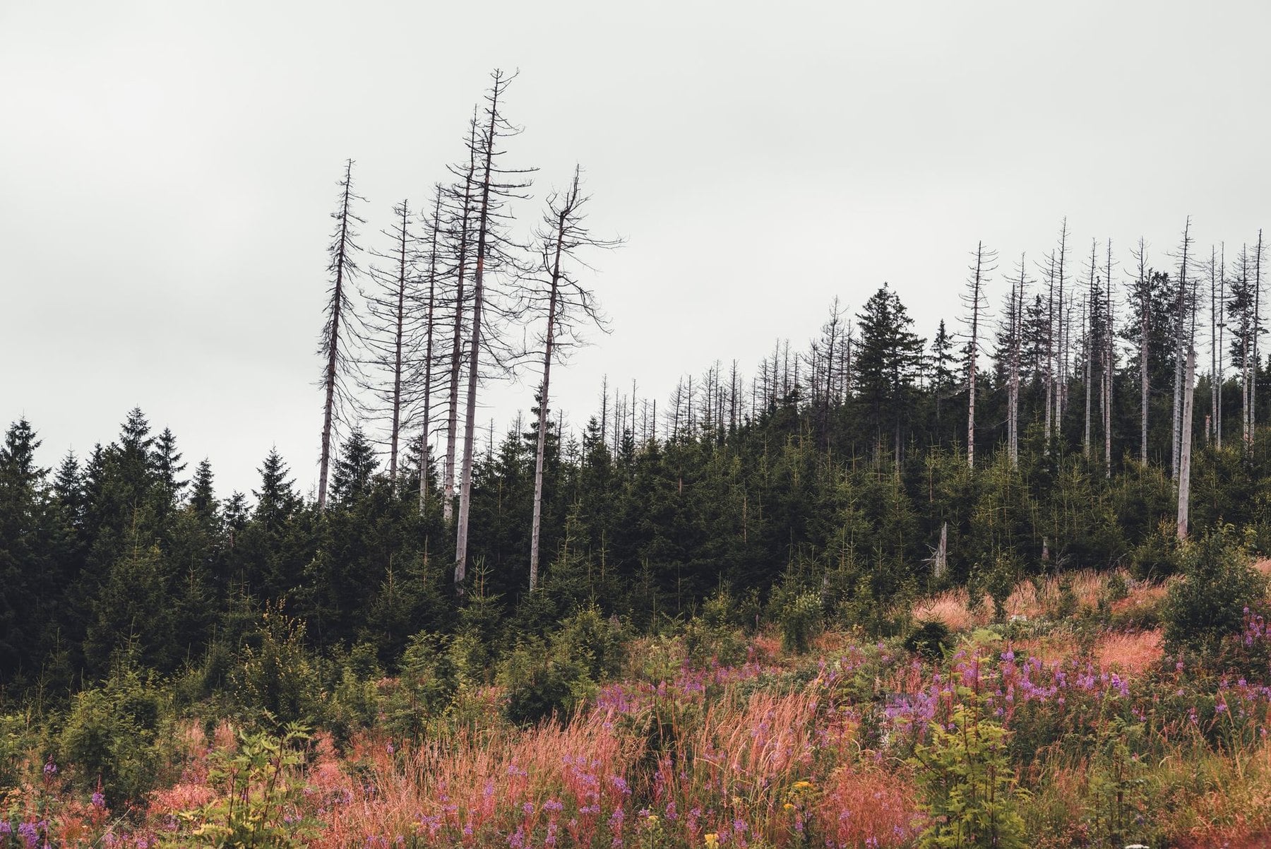
The Harz is Germany's northernmost mountain range and its most isolated. A granite massif rises abruptly from the North German Plain, with its own weather, its own ecology and four centuries of mining history in the landscape. The Brocken sat inside East Germany for four decades, and the spruce forest around it was left to develop without management.
The Hexenstieg crosses the range from west to east, from Osterode am Harz to Thale. Stage one climbs through old mining country, where the Harz was Europe's most productive silver-mining region from the 16th to the 18th century. Flooded shafts, birch-covered slag heaps and the straight lines of engineered watercourses are all still visible.
Stage three is the long one, crossing the raised bog of the Torfhaus plateau before the final granite climb. On the descent the Bode valley is flanked by cliffs of 60 to 80 metres. Thale is around 3.5 hours by train from Berlin, which makes this the most practical multi-day route for anyone based in the northern cities.
10. Eifelsteig and the Eifel Maare
Region: Eifel, Aachen to Trier
Distance: 313 km
Stages: 15 walking days
Ascent: around 6,700 m
High point: 690 m in the Hohes Venn
Season: April to October
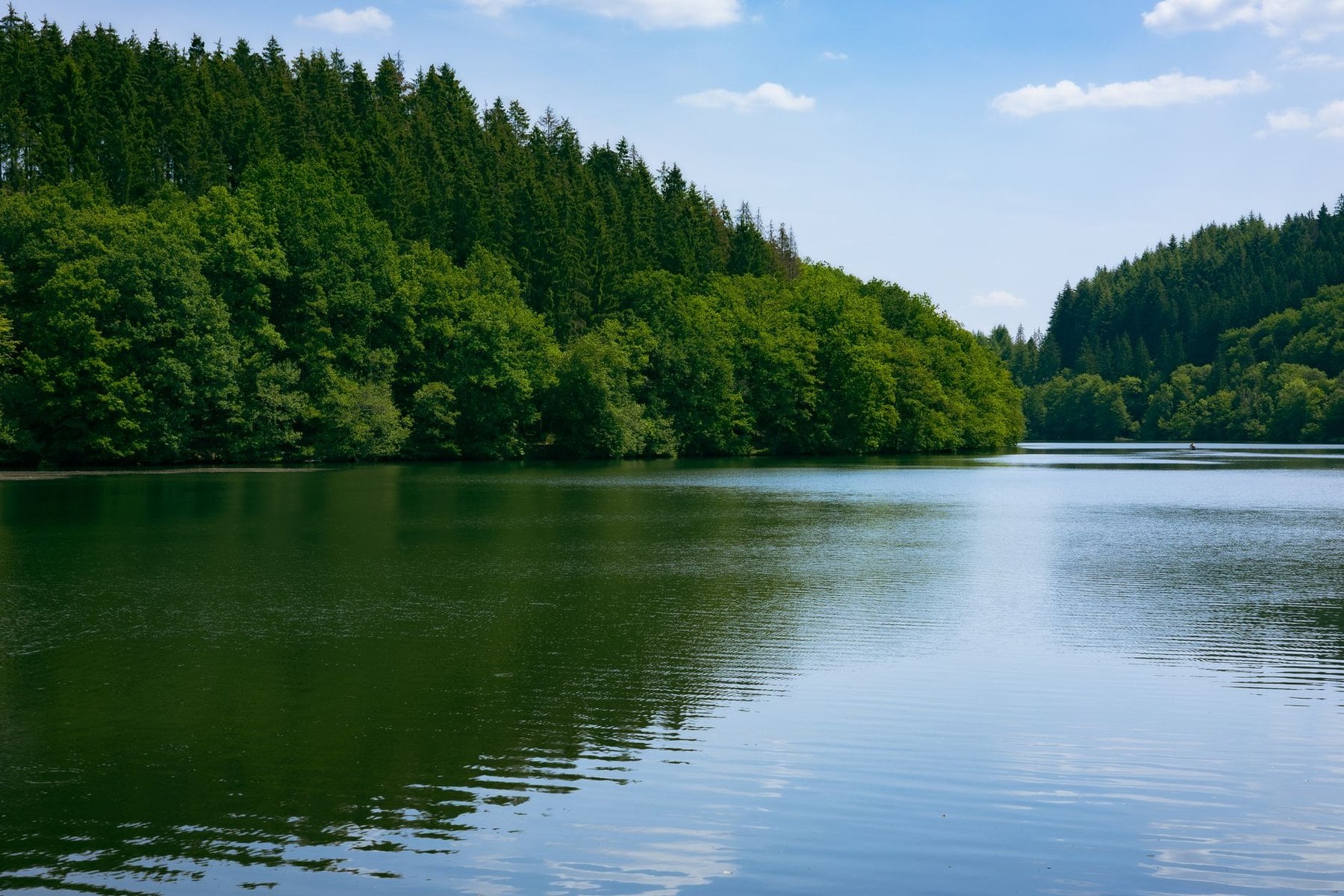
The Eifel is volcanic plateau country in Germany's far west, and its geology has no parallel elsewhere in the country. Maare are explosion craters now filled with dark, still water, and they sit inside beech forest with no warning. The terrain never reaches alpine severity, though the stages are full days at around 21 kilometres each.
The most distinctive section arrives around stage ten, near Daun. Three maare sit within a few kilometres of each other here: Gemündener, Weinfelder and Schalkenmehrener. The Mäuseberg between them carries the Dronketurm, a stone tower from which all three are visible at once.
The Gerolstein section brings limestone profiles rising straight from the valley floor and mineral springs that supply a water sold across Europe. Kasselburg Castle stands on its basalt crag above the Kyll valley. Near Trier the forest gives way to Mosel vineyard, and the trail finishes in a Roman city.
11. Rennsteig in Thuringia
Region: Thuringian Forest
Distance: 169 km
Stages: 8 walking days
Ascent: around 3,500 m
High point: 982 m on the Großer Beerberg
Season: May to October
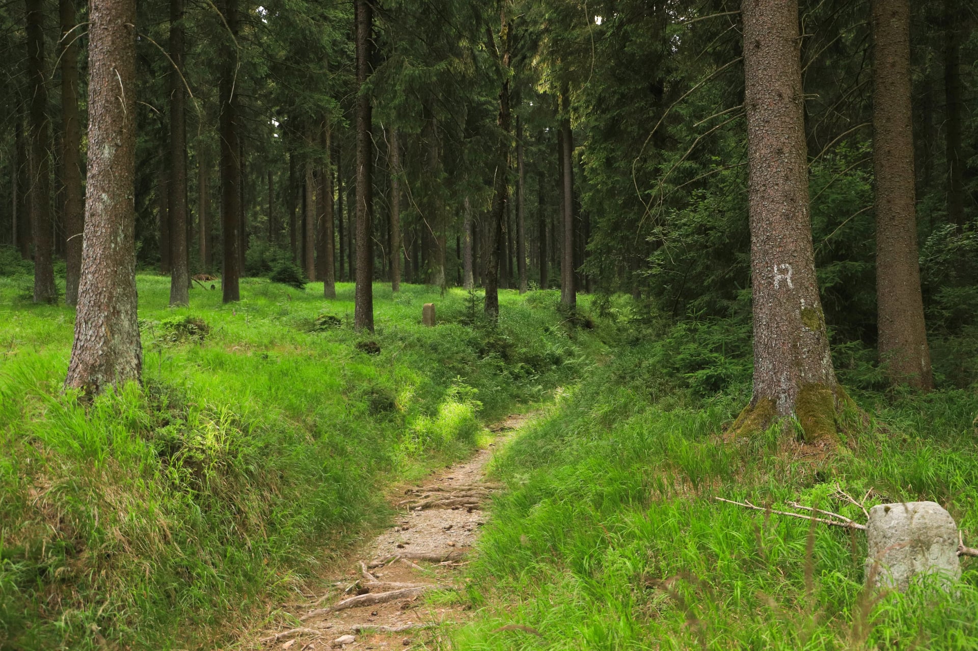
The Rennsteig traces the watershed ridge of the Thuringian Forest from Hörschel on the Werra to Blankenstein on the Saale. It is Germany's oldest documented long-distance trail. A stone boundary marker stands at the path edge every few hundred metres, some carved with facing letters, F for Franken on one side and T for Thüringen on the other.
There are 1,300 of those markers across the full route. Stages range from 17 to 26 kilometres and cross the ridge at heights between 500 and 970 metres. The Großer Beerberg, the highest point of the range at 982 metres, comes in the middle stages and needs a short detour from the ridge path.
The forest is the dominant experience throughout, close overhead and rarely interrupted. It is green in summer and pale grey-silver in winter when frost coats every needle. From late September the beech on the lower slopes turns amber and copper. These trails stay quieter than Bavaria or the Black Forest all year.
12. Heidschnuckenweg on the Heath
Region: Lüneburg Heath, Hamburg to Celle
Distance: 223 km
Stages: 13 walking days
Ascent: negligible
High point: 169 m on the Wilseder Berg
Season: late August for the bloom
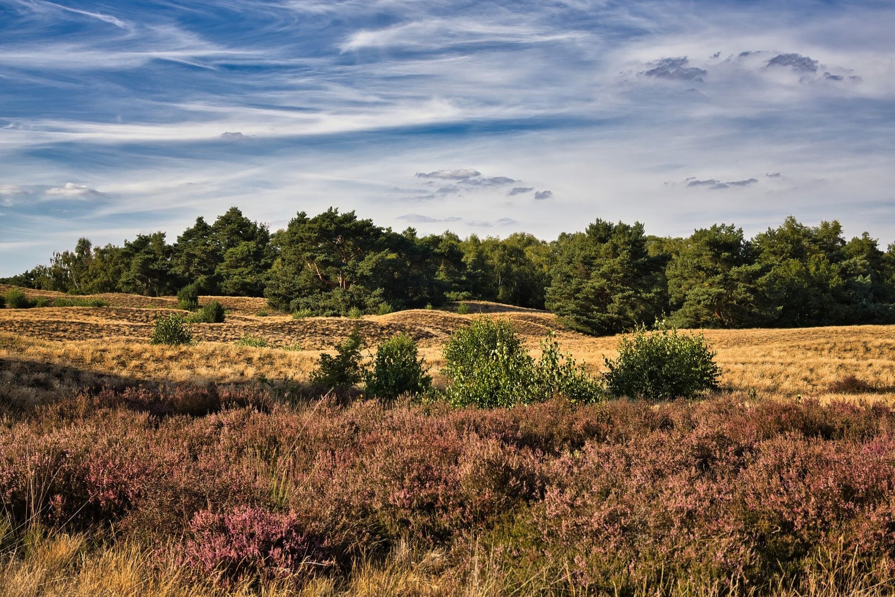
The Heidschnuckenweg sits in a different register from every other route here. There are no peaks, the landscape is horizontal, and the highest ground stands at 169 metres. It runs from Hamburg-Fischbek south to Celle through more than 30 separate heath areas. Wandermagazin readers voted it Germany's most beautiful trail, which says something specific about what German walkers value.
The timing is the one thing that is not negotiable. In late August the heather blooms and the colour across the open ground runs from pale lavender to deep purple over hundreds of square kilometres. Outside that window the heath is a quieter place, still interesting, without the spectacle.
The trail is named after the Heidschnucke, a grey-brown moorland sheep still grazed along the route in large numbers. They keep the heather and juniper down and hold the heath open. Without the sheep, birch forest would close the landscape within decades, and stages run from 7 to 27 kilometres between thatched heath villages.
Waymarking and Terrain in Germany
How German Waymarking Works
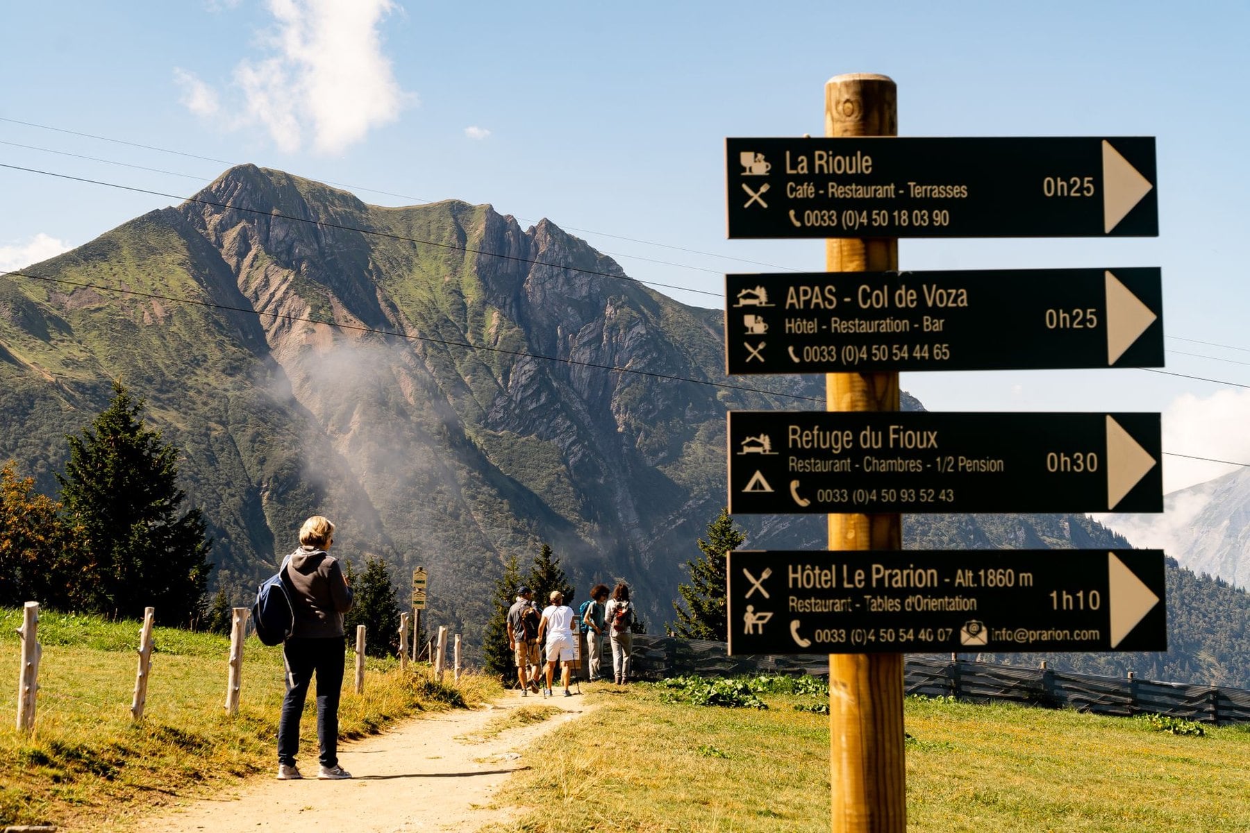
Germany has no single national waymarking standard, and each region maintains its own. In the Bavarian Alps the German Alpine Club marks trails with white-red-white blazes on rocks and posts, matching the Austrian and Swiss systems. Long-distance trails carry their own logo at every junction, so the Eifelsteig, Schluchtensteig and Westweg are each followed by a single symbol.
In the Black Forest the Westweg is a red diamond on white and the Schluchtensteig a green one. Thuringia uses coloured horizontal bars. Junction signposts across the country give the trail name, the next waypoint, the distance in kilometres and usually a walking time based on 300 metres of climb per hour.
The system is thorough and reliable on certified trails. It deteriorates on the minor connecting paths between named routes, which are marked locally and inconsistently. Carry a downloaded offline map and do not trust signposts alone once you leave a waymarked route.
Terrain and Difficulty
In the Bavarian Alps the paths are well maintained but steep, and the limestone underfoot is either solid rock or loose scree. Mud is rare. Above the treeline at around 1,800 metres the scale opens and the horizon drops, and the ground can feel isolated even on busy days.
In the Black Forest gorges the path is narrow, often wet near the water, and switches between river bank and canyon wall. Saxon Switzerland alternates between soft pine-needle paths on the plateau tops and iron rungs fixed into sandstone on the descents. The Eifel is compacted earth through beech forest, wide enough to walk two abreast.
The Rennsteig is a ridge path through spruce, muddy after rain and never technical. The Heidschnuckenweg is sand and grass. Nothing north of the Alps needs more than an ankle-support boot, and only the southern routes make footing a real decision.
Trail Culture and Etiquette
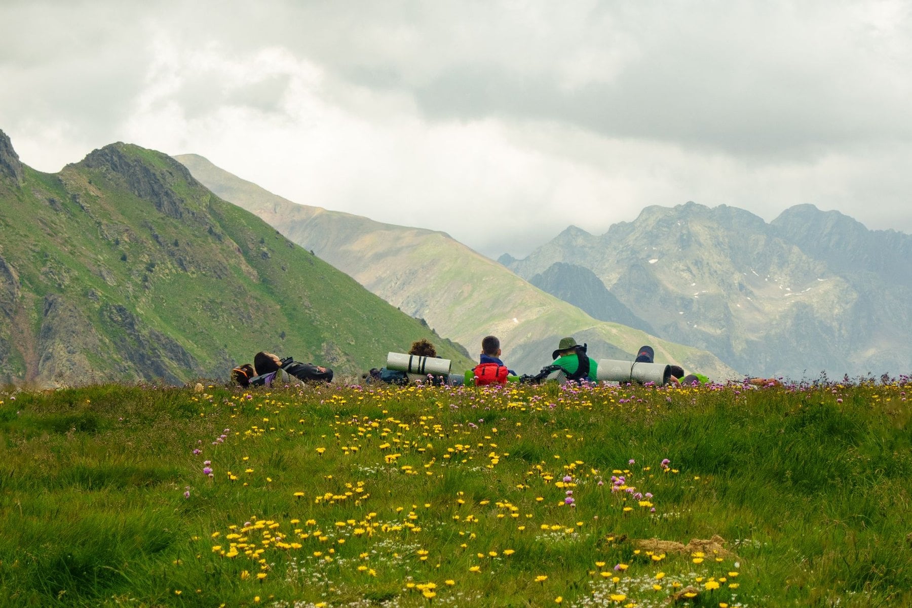
In Bavaria the standard greeting on the trail is Grüß Gott, not Hallo. You say it to everyone you pass and they say it back. Uphill walkers have right of way over those descending, so step aside automatically before a standoff develops.
The Brotzeit, a rest stop for bread and cold cuts usually taken mid-morning, is taken seriously. A flat rock with a view counts as a valid lunch spot alongside a hut terrace. At mountain huts, trail running shoes are accepted on the approach while boots remain the norm on high ground.
Two things read as rude and both are easy to avoid. Playing music from a speaker is considered antisocial, and so is speaking loudly in a hut dormitory after quiet hours begin at 10pm. Fit rubber tips to trekking poles before you go inside any hut.
Hiking Safety in Germany
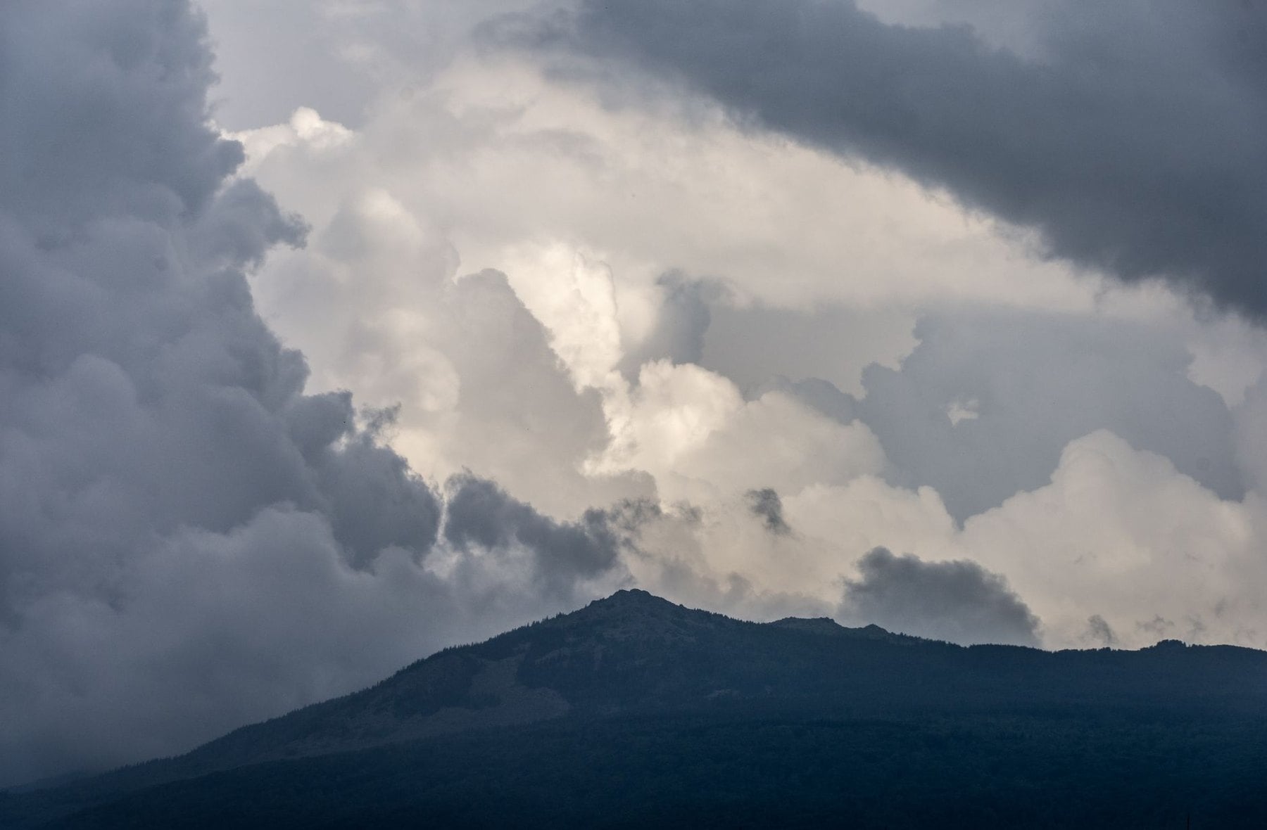
Alpine Thunderstorms
The afternoon thunderstorm is the most underestimated hazard in the Bavarian Alps. In summer the pattern repeats: clear mornings, cumulus building from around 10am, and a storm possible from early afternoon. Be off exposed ridges and summits by noon on any day with an unstable forecast, and by 1pm at the latest whatever the conditions look like.
Exposed terrain includes any open ground above the treeline, any summit and any ridge path without cover. When the first tall cloud towers develop, that is the signal to descend, and waiting for the storm to arrive is too late. A mountain hut is safe; a lone tree, a ridgeline or a shallow overhang is not.
After a storm passes, wait at least 30 minutes before continuing, because alpine cells often travel in succession. LWD Bayern publishes daily mountain hazard reports and the DWD gives forecasts with altitude-specific data. Check both the evening before, not on the morning of the walk.
Snow, Ticks and Mountain Rescue
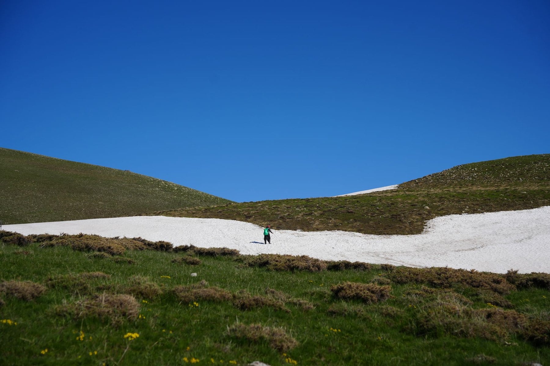
High passes in the Bavarian Alps hold consolidated snow well into June, and into July after a heavy winter. The Zugspitze plateau sees fresh snow in August most years. If you are not comfortable on snow without an ice axe, stay on the valley routes until July and check conditions on the DAV website before any high-level start.
Germany is a significant risk area for tick-borne encephalitis, specifically in Bavaria, Baden-Württemberg, Thuringia and Saxony. The season runs from April through November and peaks in spring. The Robert Koch Institute recommends vaccination for regular forest walkers in those states, and the course needs three doses over several months.
Wear long socks over your trouser cuffs, use repellent on exposed skin and check thoroughly after every day in forest. Remove any tick within 24 hours with fine-pointed tweezers, pulling straight out without twisting. The emergency number is 112 and works without a SIM card, and mountain rescue is carried out by the Bergwacht under the German Red Cross.
Huts and Guesthouses in Germany
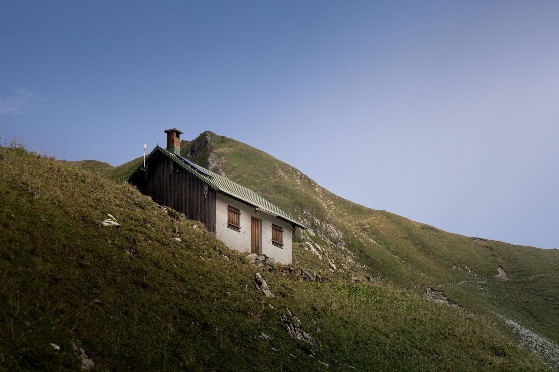
Bavarian Alpine Huts
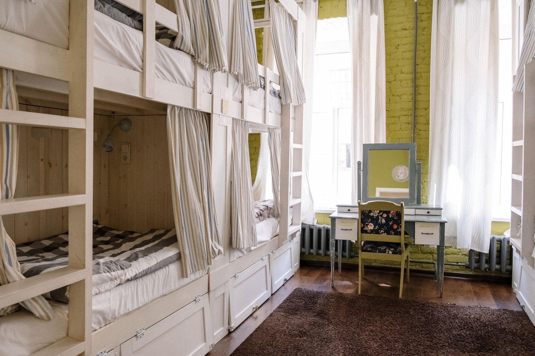
The German Alpine Club operates over 300 mountain huts across the German Alps and pre-Alps. Most open from late May or June and close between mid and late October. A dormitory bed costs members substantially less than non-members, so several nights in huts usually covers the annual membership.
Book directly with each hut, because there is no central reservation system. Most have their own website or take bookings by phone. For July and August, book a minimum of two to three months ahead, and the huts on the Reintal and Watzmann approaches fill earlier than that.
Bring a thin sleeping bag liner, since duvets and pillows are provided and linen is not. Showers exist at some huts for a fee and many have none at all. Earplugs matter more than most people expect in a Matratzenlager sleeping 40.
Guesthouses on Lowland Trails
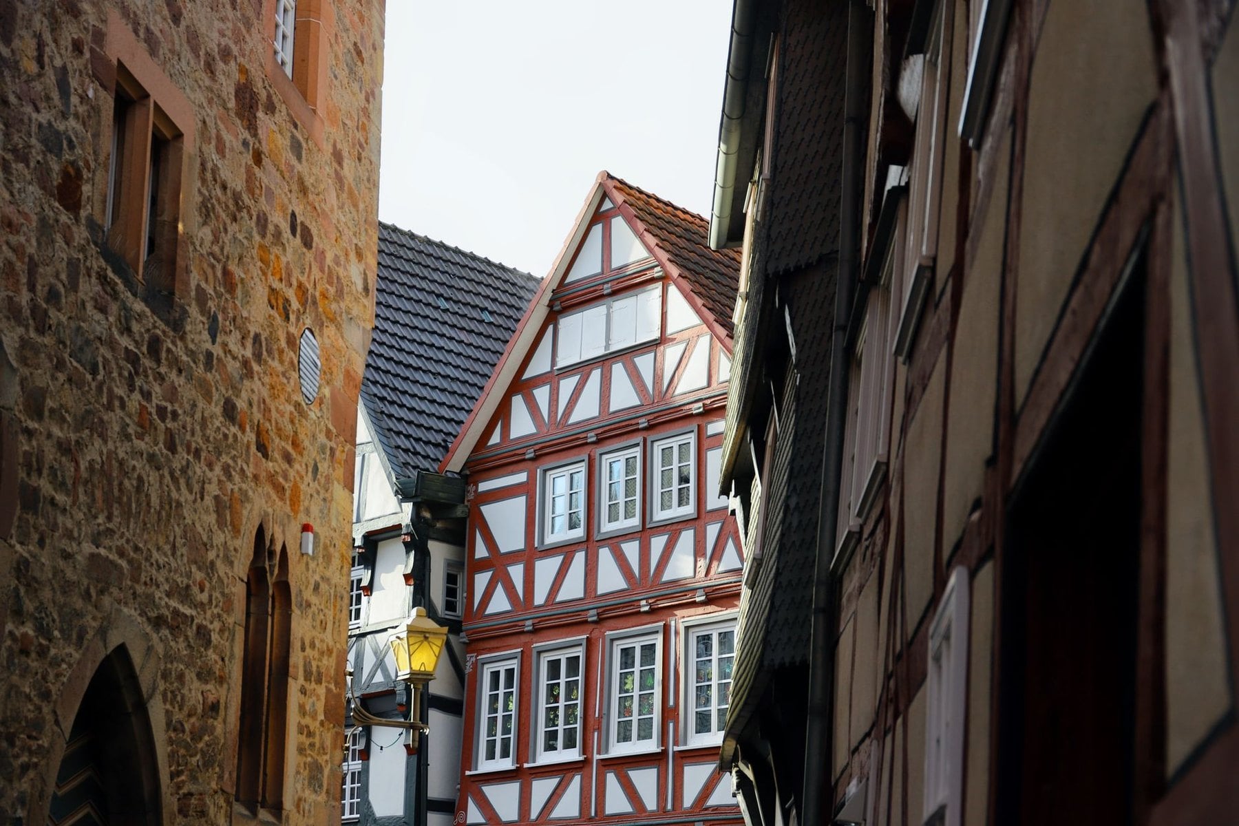
On the Eifelsteig, Schluchtensteig, Rennsteig and the northern routes, accommodation shifts to guesthouses, farmhouses and small hotels in the villages. Quality on certified trails is consistently solid, because certification covers the hosts as well as the path. Many carry the Qualitätsgastgeber Wanderbares Deutschland mark, which commits them to drying rooms and early breakfasts.
Luggage transfer operates on most certified long-distance routes. The operator collects your bag at one overnight stop and delivers it to the next, which leaves you walking with a daypack. Over a 15-stage route like the Eifelsteig that changes the trip substantially.
Booking pressure is far lower than in the Alps. On the Mittelweg and Ostweg a day or two ahead is usually enough, and only the Schluchtensteig and the Titisee area need real planning. Village stage ends like St. Blasien and Todtmoos have few beds, so those two are worth securing early.
How Much Hiking in Germany Costs
Germany is not an expensive country to walk in, and the structure of the costs matters more than the totals. Four things drive the bill: beds, meals, transport and club membership, and on a 7-day Alpine trip the beds dominate. Everything below is set annually and published, so check the current rates rather than trusting any figure on a blog.
Hut nights are the largest variable in the Alps, where a week can mean six dormitory beds. The German Alpine Club publishes member and non-member rates on alpenverein.de alongside the cost of joining, and the two are worth comparing before any multi-hut trip. Meals are charged separately, and the Bergsteigeressen, a subsidised hot plate every hut must offer, keeps the evening meal predictable.
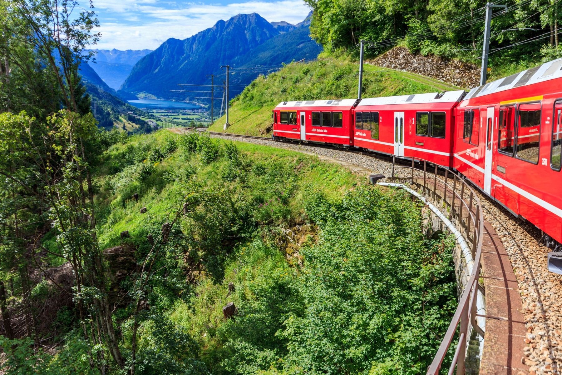
Transport is the cheapest part. The Deutschlandticket covers all regional trains and local buses nationwide for a flat monthly rate, and in Bavaria the Bayern-Ticket does the same for a single day across the state. The KONUS guest card covers regional transport free in the Black Forest for anyone staying overnight in the region.
Entry to national parks is free, including Berchtesgaden and Saxon Switzerland, so there are no gate fees to budget for. The remaining variable is luggage transfer, priced per stage by the operator running it. Guesthouse half-board on the lowland trails is quoted by the house and published on its own site.
What to Pack for Hiking in Germany
Footwear splits by region. For the northern and central trails, the Rennsteig, Eifelsteig and Heidschnuckenweg, an ankle-support walking boot is enough, and on the heath a trail shoe works. The Alps and the Black Forest gorges need a stiffer sole with real tread, because limestone scree and wet roots both punish soft footwear.
Layers matter more than a single warm jacket. Dawn temperatures at Bavarian hut altitude sit below 5°C in summer, and the same day can reach 25°C in the valley. Carry a waterproof shell that actually works, because afternoon storms are a planning assumption and not bad luck.
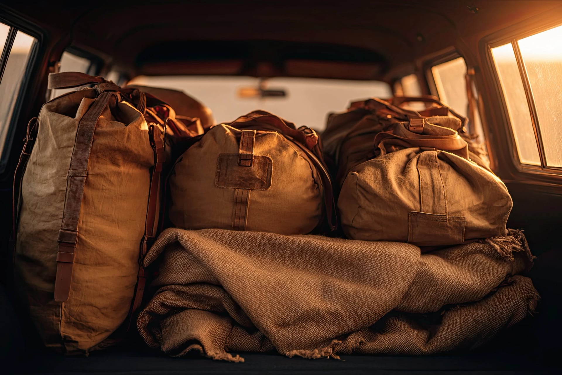
A sleeping bag liner is compulsory in every German Alpine Club hut, and there is no way around it. Add earplugs, a headtorch and enough cash for the whole hut section, because most Bavarian huts take no cards and there are no machines above the treeline. Bring twenties and fifties, as large notes cause problems.
Two small items pay for themselves. Fine-pointed tweezers deal with ticks inside the 24-hour window that matters, and rubber tips for trekking poles are required before entering any hut. For the Watzmann traverse or anything with fixed cables, a via ferrata kit is not optional.
Getting There by Train
Munich is the gateway for the Bavarian Alps. Direct trains reach Garmisch-Partenkirchen in 90 minutes and Berchtesgaden in around two hours via Salzburg. The S8 and S1 lines connect both airport terminals to the city centre in about 45 minutes.
Frankfurt is better positioned for the Eifel and the Rhine valley, with Trier, Koblenz and Bonn all within easy reach. Dresden is the starting point for Saxon Switzerland, where the regional S-Bahn reaches the Elbe valley villages in under an hour. Hamburg sits at the northern end of the Heidschnuckenweg and Hanover at the southern.
Most Bavarian valley stations have direct bus connections into the mountains, and the Bayern-Fahrplan app shows current schedules. A car is unnecessary almost everywhere in this guide. On a point-to-point route it becomes an active problem, because you finish 100 kilometres or more from where you parked. Every trail here starts and ends at a station or a bus stop.
Best Time to Hike in Germany
May and June are excellent across most of the country. The Alps clear of snow at lower elevations from late May, alpine meadows flower through June, and the trails are quiet. High Alpine passes may still hold snow in May, so the lowland and mid-mountain routes are the safer choice that month.
July and August bring peak season to the Bavarian Alps. Huts fill weeks in advance, trailheads at Garmisch and Berchtesgaden get crowded from mid-morning, and afternoon thunderstorms are a consistent risk above 1,500 metres. The lowland trails are more comfortable in summer heat and carry none of the alpine hazards.
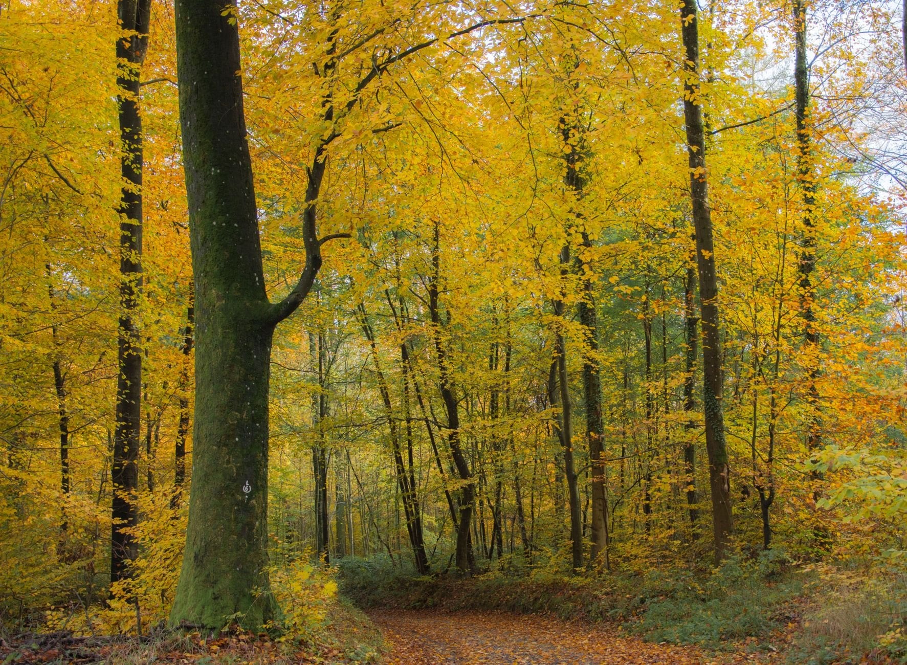
September and October are the best months for most people. Crowds thin sharply after mid-September, autumn colour arrives in the Thuringian and Black Forests from late September, and the Bavarian meadows turn copper. September sees the most stable weather of the year in the Alps, and most huts stay open until mid-October.
Winter closes the high Alpine routes from around November, and the Schluchtensteig officially closes too. Valley trails and lower paths in the Black Forest and Thuringia stay walkable in dry conditions. The Harz and the heath are walkable year-round, with the heath at its emptiest and the Brocken frequently in cloud.
Cash, Camping and Water Rules
Cash is the one thing visitors underestimate. The majority of Bavarian mountain huts take no cards at all, and there are no machines above the treeline. Carry enough for every bed, meal and drink of your time in the mountains, and clarify on arrival whether the hut wants paying at check-in or departure.
Wild camping is restricted to designated areas and prohibited in most national parks, and bivouacking on open mountain terrain is not permitted in most of the Bavarian Alps. No permit is needed to walk any route in this guide, including through Berchtesgaden and Saxon Switzerland. You walk freely on marked public paths.
Tap water is safe throughout the country, including in mountain resorts, and most hut spring supplies are tested by local authorities. Stream water above the cattle grazing zone is generally safe, and below it the runoff risk is real. Mobile signal is reliable in valleys and absent on high ridges, so download your route before leaving the valley.
Trail signage is in German only, including emergency sector markers in the Black Forest gorges. Three words cover most of it: Unterkunft is accommodation, Gasthof is guesthouse, and gesperrt means closed. Most guesthouses in walking areas have some English, and hut wardens on the popular Bavarian routes almost always do.
Frequently Asked Questions
Which German Trail to Choose
Most visitors who come to walk in Germany have the Bavarian Alps in mind and nothing else. That is a reasonable place to start, and the Alps are exceptional, but it leaves the Eifel, the Black Forest, the Thuringian ridge, Saxon Switzerland, the heath and the Rhine gorge untouched. Each of those six is worth a trip on its own terms.
The practical case for Germany is the combination. The trail network, the rail links and the guesthouse culture make it possible to string regions together, or to come back year after year without repeating a route. Across 300,000 kilometres of marked trail, nowhere else in Europe makes multi-day walking this easy to reach without a car.
If you want help choosing the right route for your fitness, your season and the time you have, get in touch.

About this author
Jon is our travel advisor and an outdoor adventurer who is happiest on the move. While mountain biking is his personal passion, he thrives on crafting hiking adventures for others — planning routes and adding the little touches that turn a trip into a core memory.
















































.jpg&w=828&q=75)



