Besseggen: Norway's Legendary Ridge Hike
Besseggen in a day: 14 km, the boat from Gjendesheim, and the ridge where one lake sits 400 metres above the other. The route, the direction, the timings.

Ajda
Published September 10, 2026
Edited October 15, 2026
13 min read
Quick links
Don't want to read all this?
We've planned 2,000+ hiking trips. Send your dates, fitness and group size — we'll map the route and book every night.



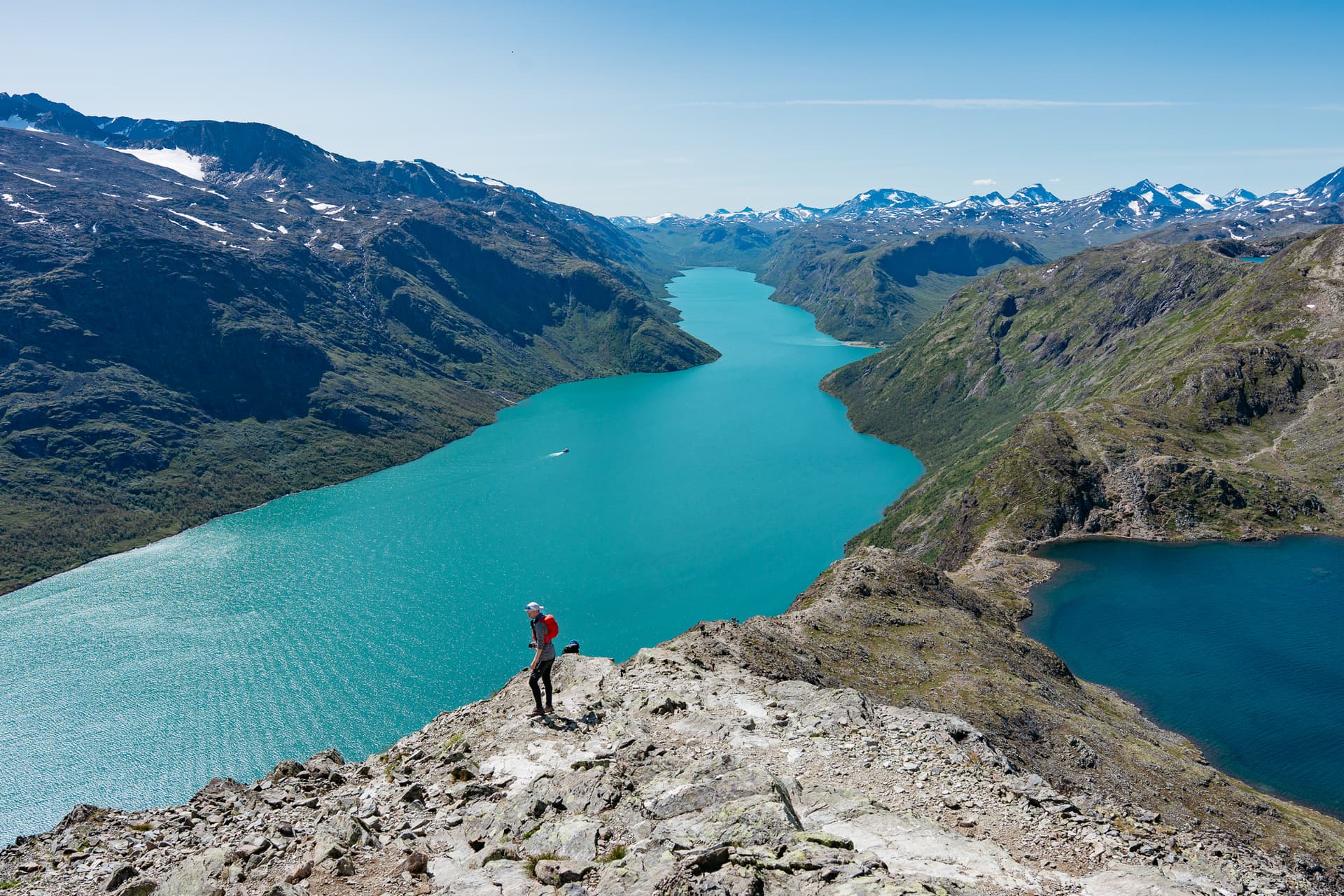
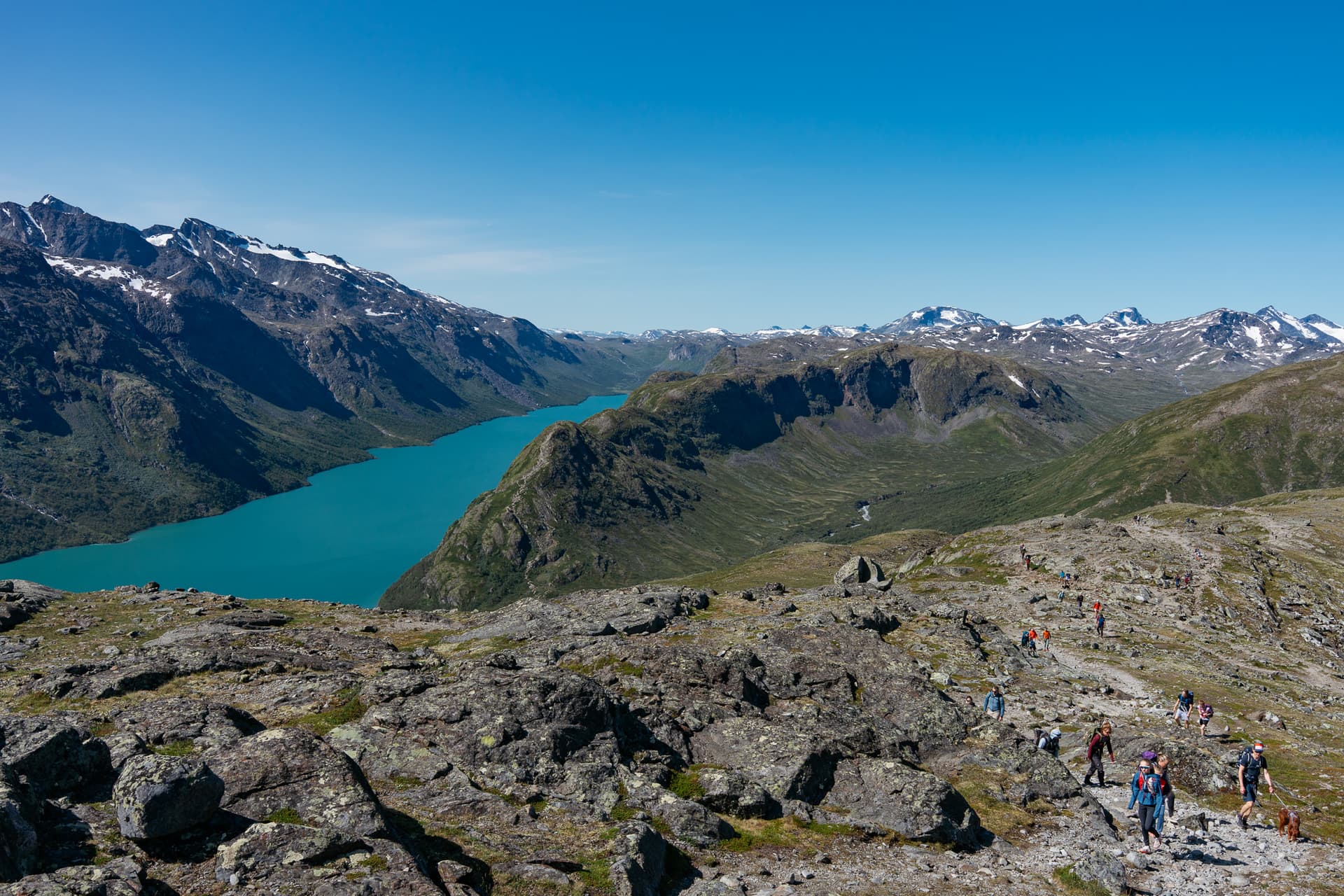
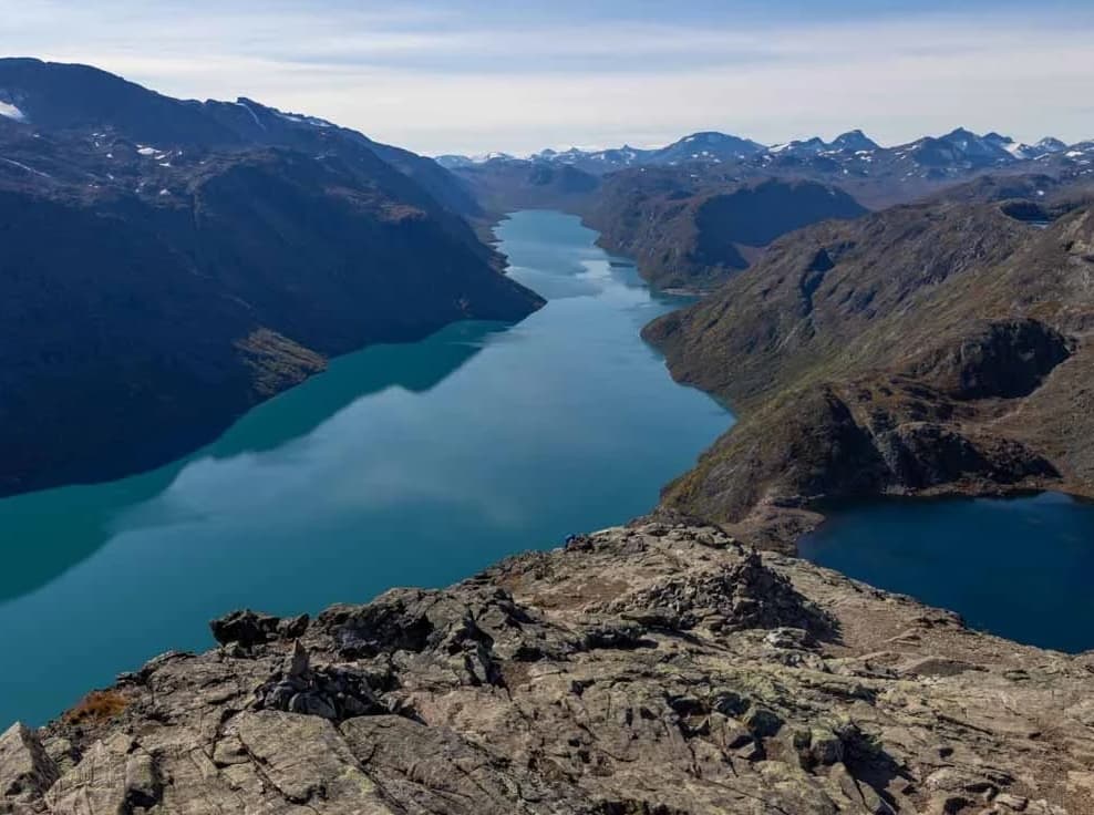
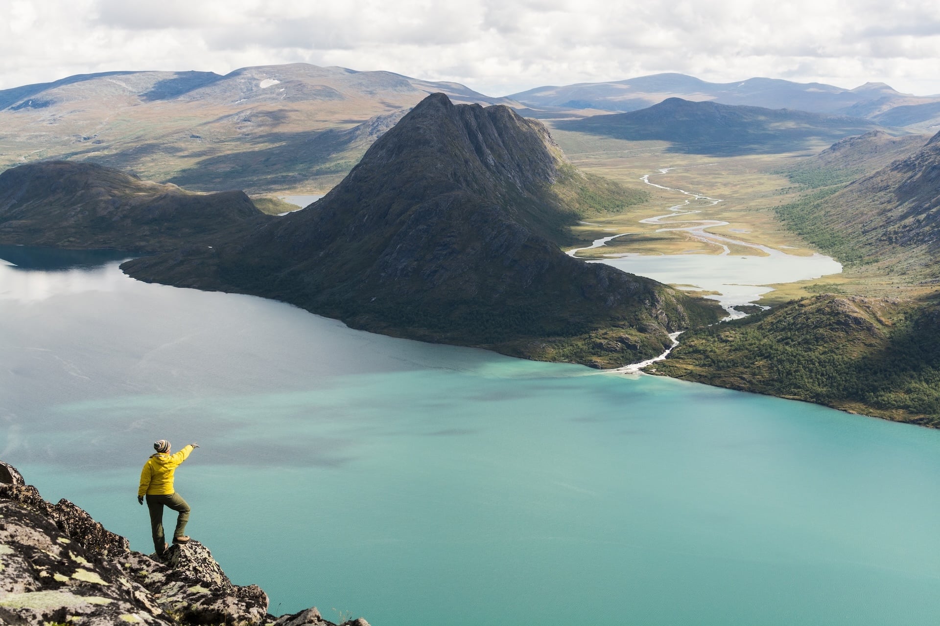
From the summit of Veslefjellet, Lake Gjende drops away in glacial green on one side and Bessvatnet sits a darker blue on the other, split by a ridge of rock in places barely wide enough for the path. That view has made Besseggen Norway's most popular hike.
Roughly 60,000 people cross it every summer, most inside a six-to-eight-hour window bookended by a boat crossing at one end and a bus stop at the other.
None of that makes it a casual walk. Besseggen gains around 1,000 metres and gives all of it back over some 14 kilometres of exposed, occasionally hands-on terrain, and DNT places it in the most demanding tier of its grading system. DNT is Den Norske Turistforening, the Norwegian Trekking Association. It's the country's main hiking organisation: a membership body that runs the mountain hut network (around 550 huts), waymarks the trails, and grades the routes.
Most people cross it in a single day, between a boat and a bus, and that is a perfectly good way to do it. But the two huts that bookend the ridge are also stops on a much larger network of trails through Jotunheimen National Park, which has a dedicated guide of its own if you want the full picture of the park beyond this one ridge. Besseggen is also just one entry in our broader guide to hiking in Norway, for anyone weighing it against the country's other big hikes.

This guide covers the route stage by stage, which direction to walk it and why, the real safety picture, how the Gjende boat and the huts at either end actually work, and what to know before you arrive.
Besseggen Route and Distance
Besseggen runs between two points on Lake Gjende: Gjendesheim, at the eastern end where the road from Oslo terminates, and Memurubu, reachable only by boat or on foot, around the middle of the lake's northern shore. The classic crossing covers approximately 14 kilometres, with around 1,000 metres of ascent and a similar amount of descent. It tops out at roughly 1,743 metres on Veslefjellet.
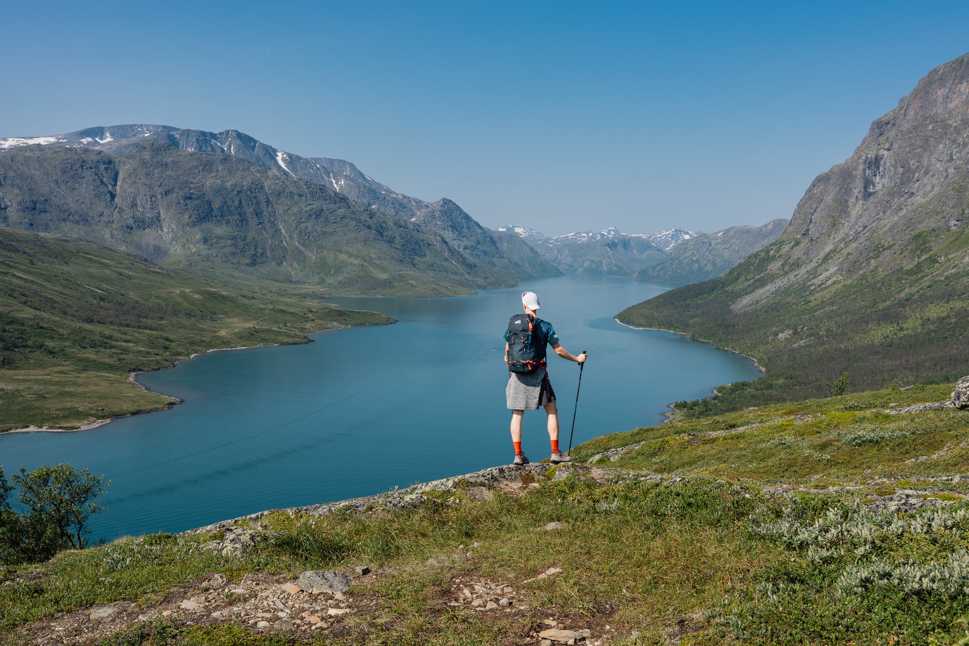
Most hikers set aside 6 to 8 hours, and DNT's own route description allows a full eight. That assumes reasonable fitness, one stop for lunch, and no lingering at the summit, which in practice most people do anyway. Budget closer to 8 or 9 hours if you want time to enjoy the view rather than tick it off.
Memurubu to the Ridge
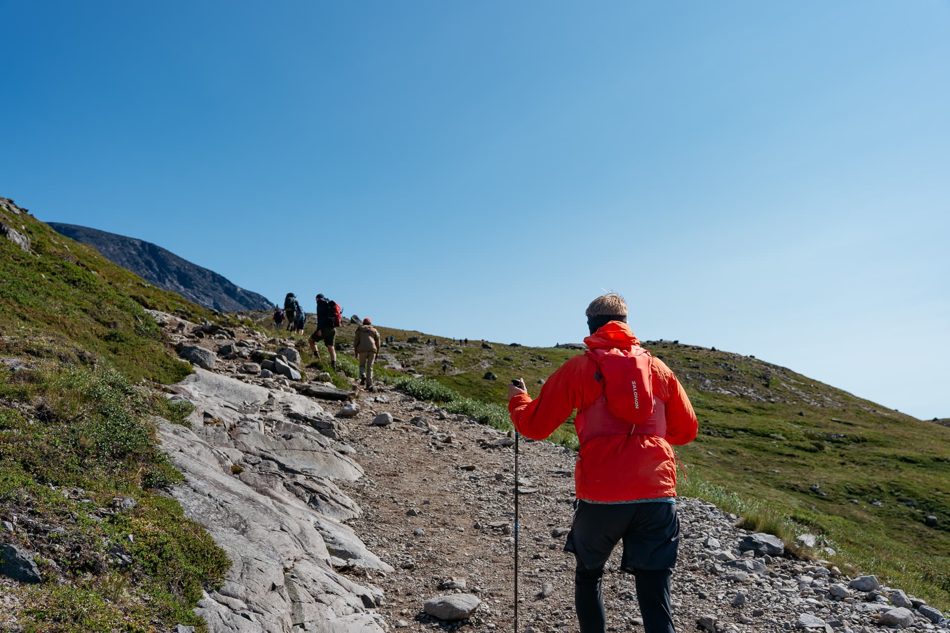
From the Memurubu boat landing, the path climbs steadily away from the lake, gaining height through open, rocky ground rather than forest. This is the steepest sustained climbing of the day, and where DNT's advice to travel in this direction, climbing rather than descending the hardest section, matters most.
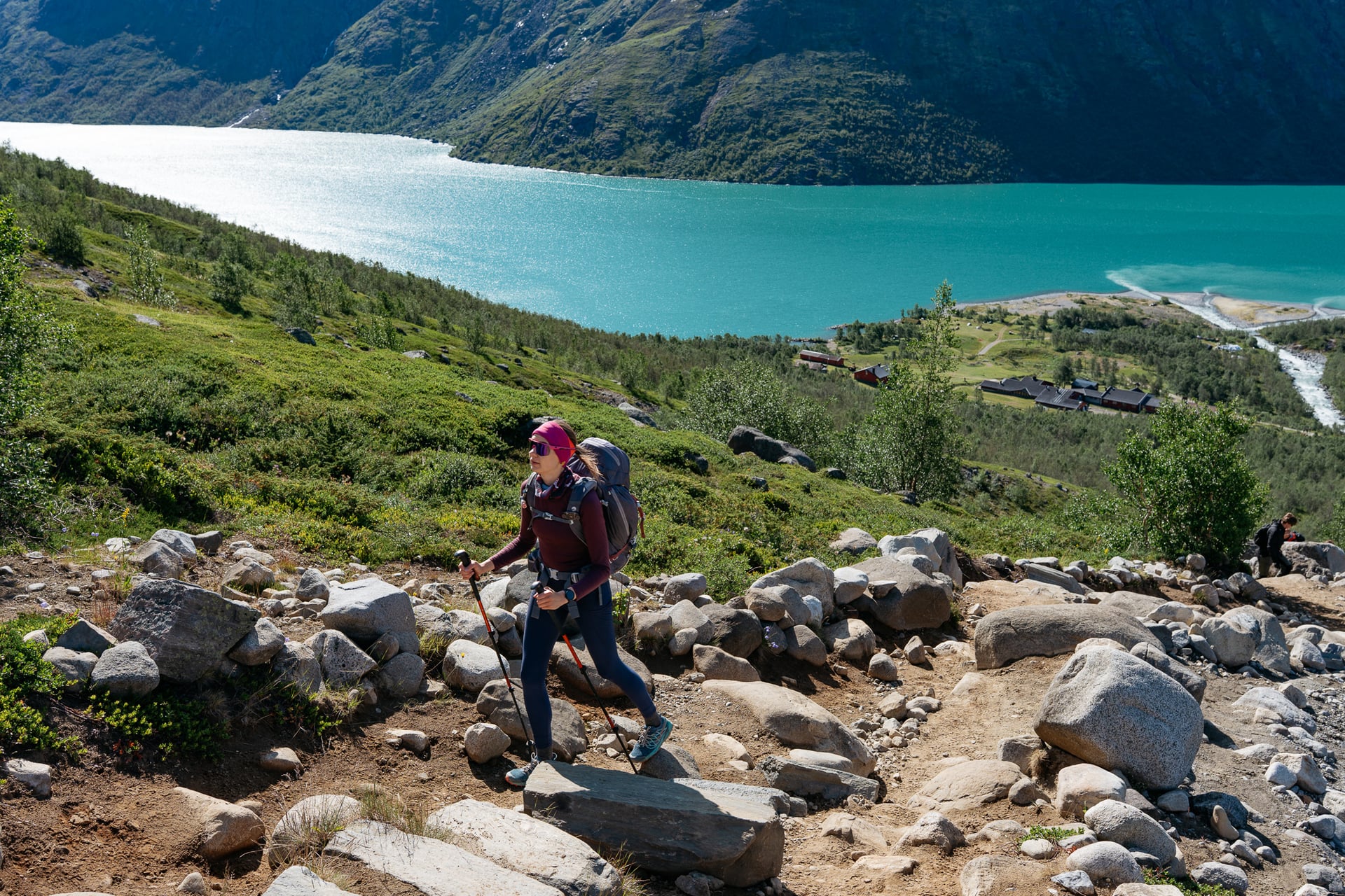
The climb is not the whole approach. After about an hour the path levels out onto high, rolling ground and runs up and down for a while, past a small lake, Bjørnbøltjønn, before it drops to Bandet: a flat neck of land about 100 metres wide where Bessvatnet sits 400 metres above Gjende. Bandet is where the ridge proper begins, and the natural place to stop before it.
The Ridge Itself
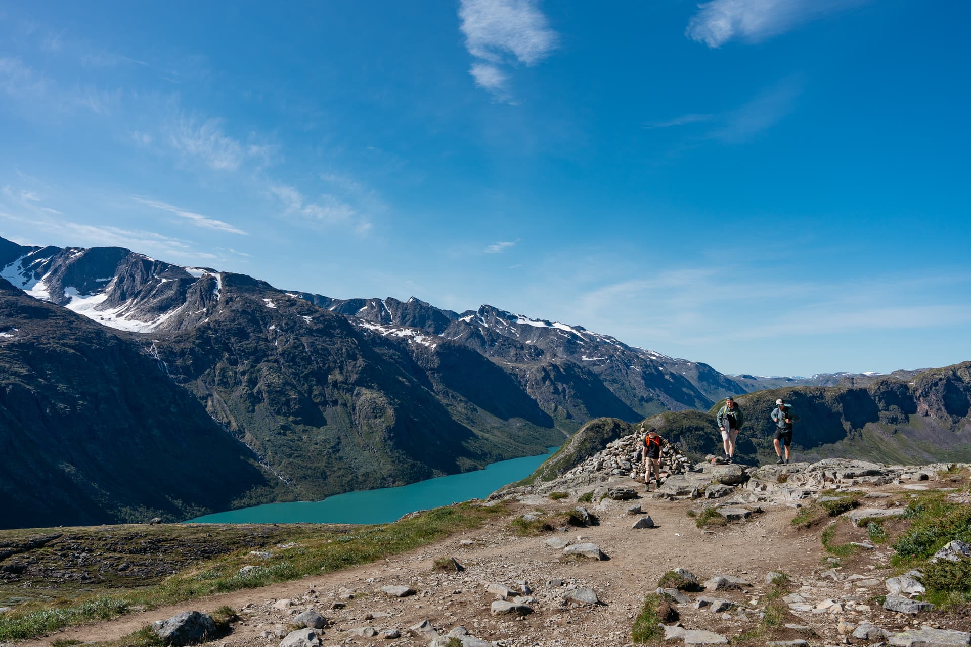
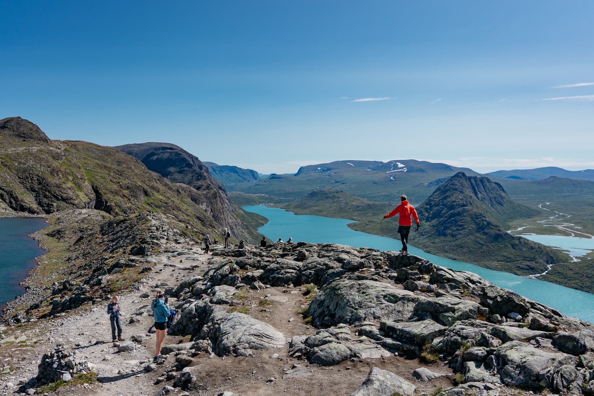
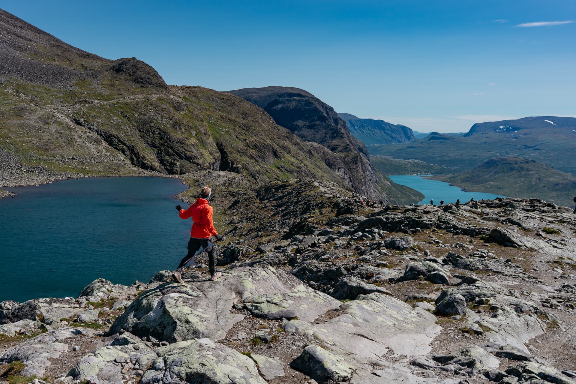
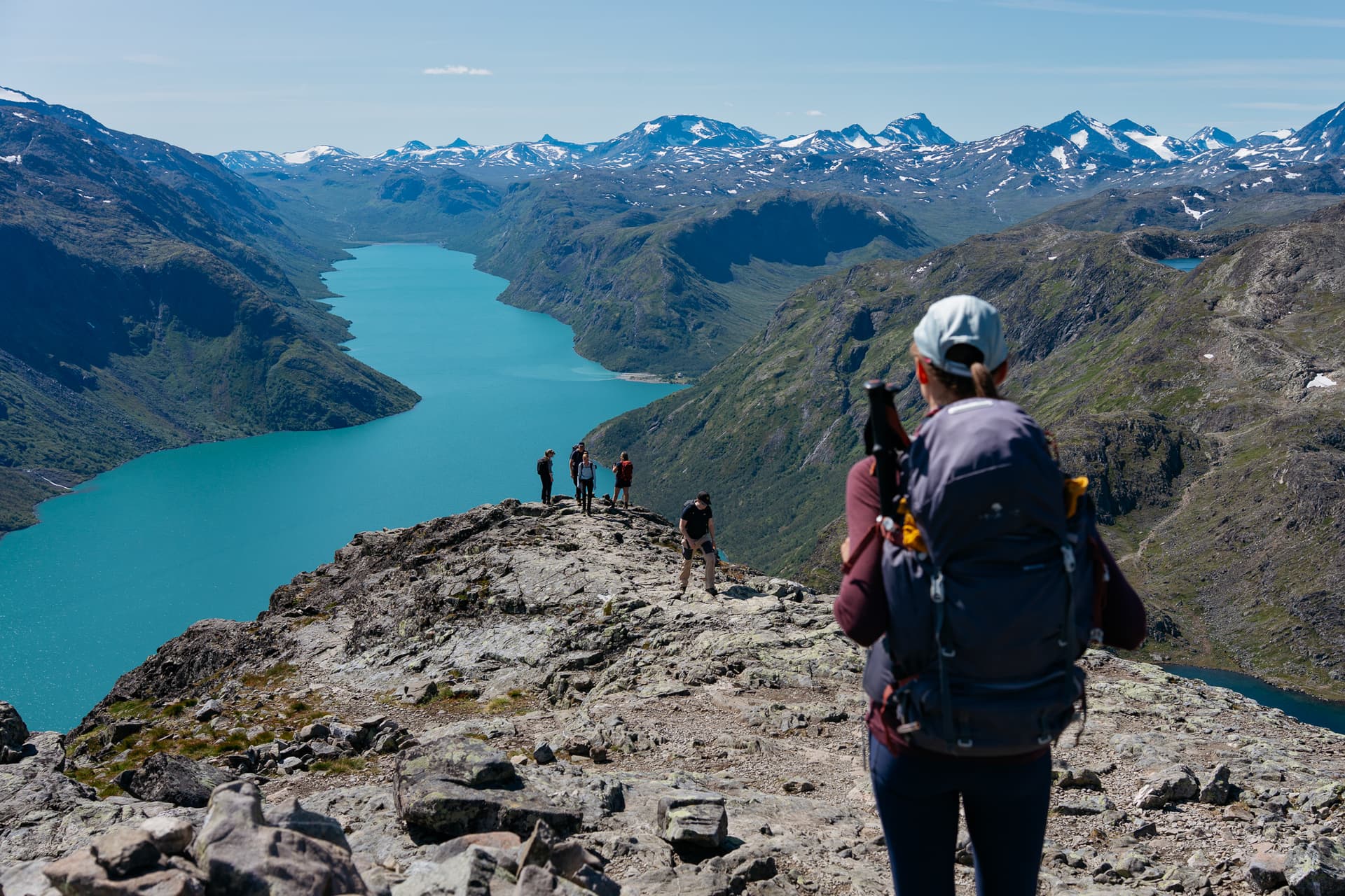
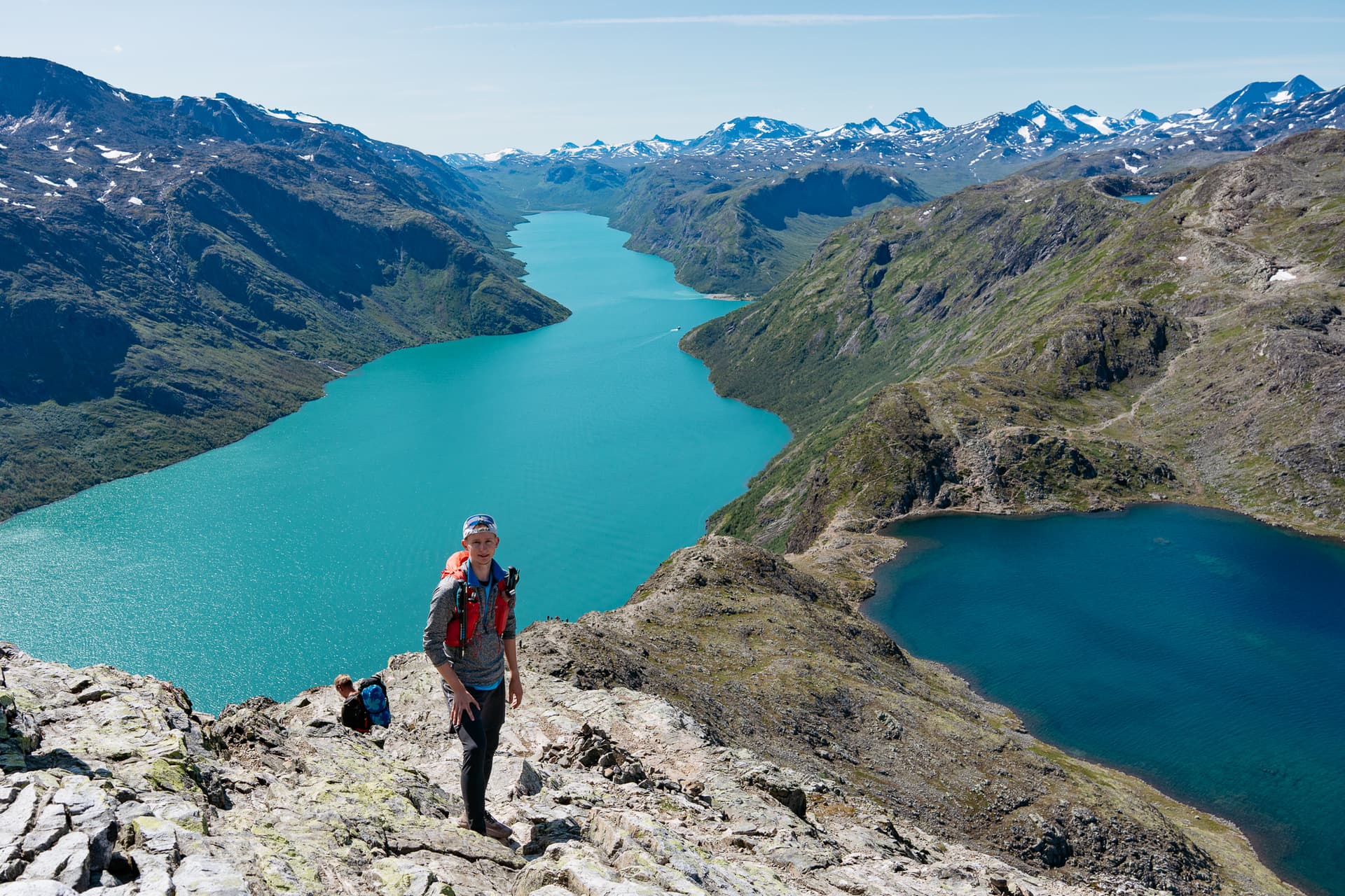
The ridge proper is the section people come for, and the section that earns the difficulty rating. In places the path narrows to a rocky spine, with a drop of around 400 metres to Lake Gjende on one side, while Bessvatnet sits almost at your feet on the other. The two lakes are a few metres apart on the map and nearly 400 metres apart in height, held that way by the band of rock you are standing on.
The colour contrast between the two comes down to the sediment each lake carries, not a trick of the light. Gjende runs turbid green on glacial meltwater, while Bessvatnet, reckoned among the clearest lakes in Norway, stays a darker blue. It is the single most photographed moment of the crossing for good reason.
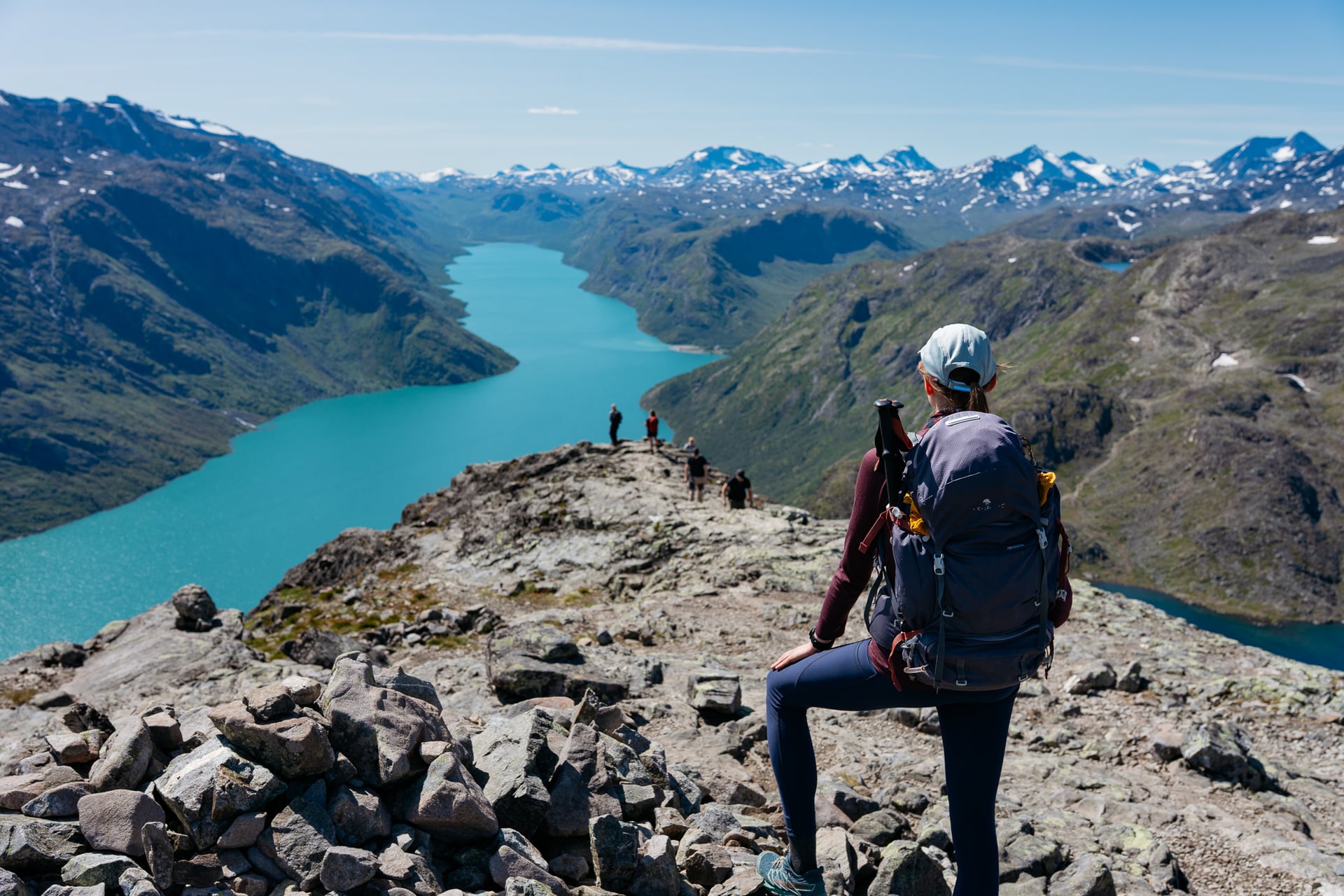
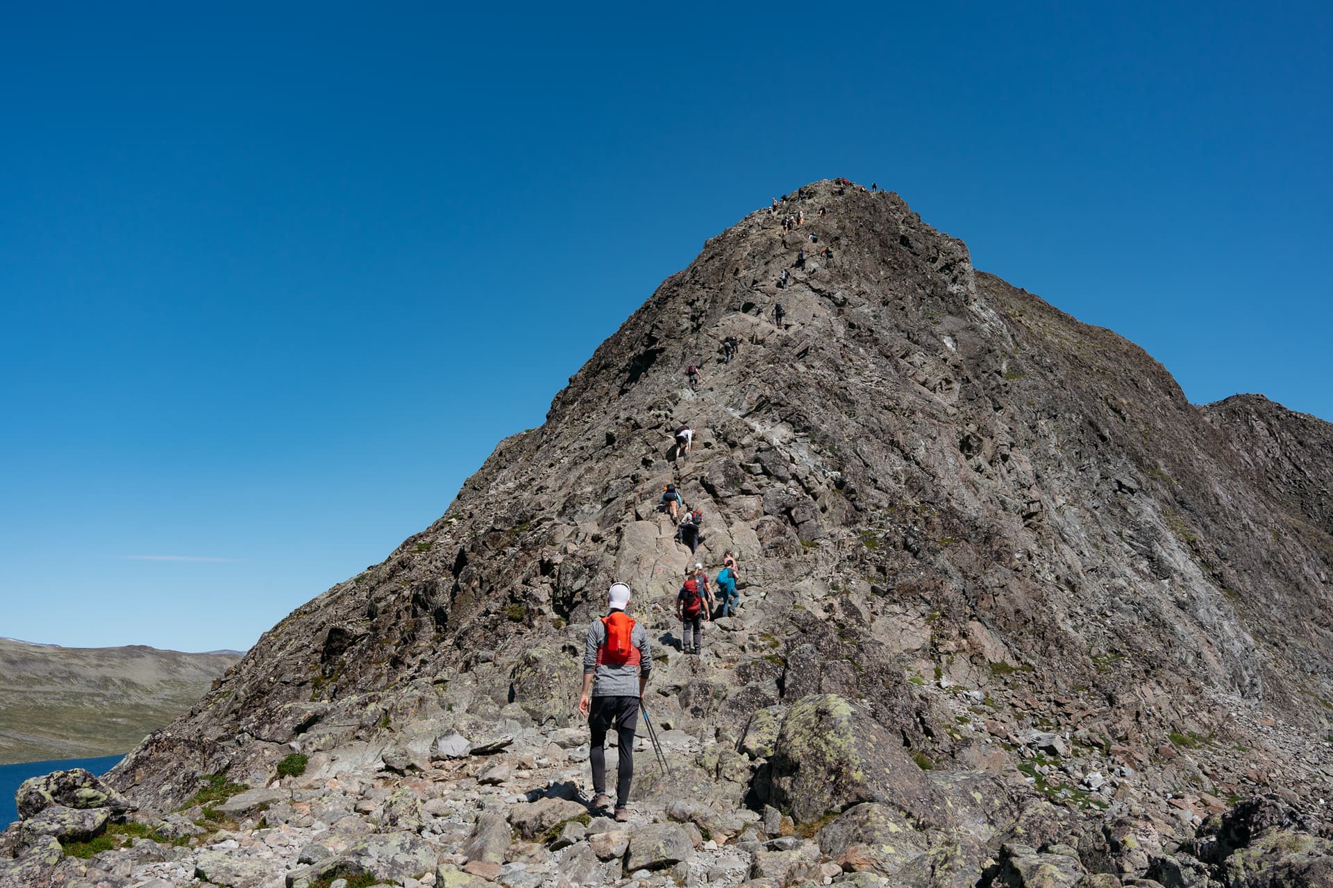
None of the ridge requires technical climbing equipment, but several stretches call for using your hands, and there is no continuous safety rail or fixed rope on the exposed sections. Your footing and the weather are what keep you safe here, not any piece of gear you are carrying.
The Descent to Gjendesheim
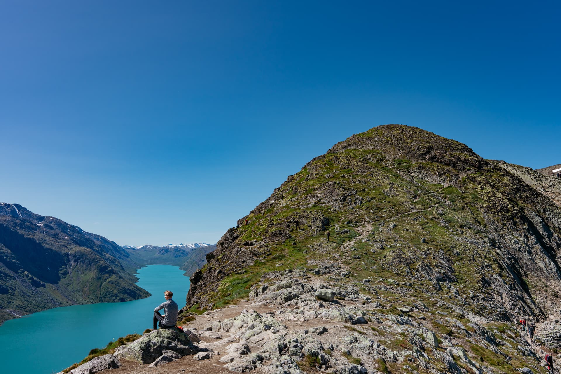
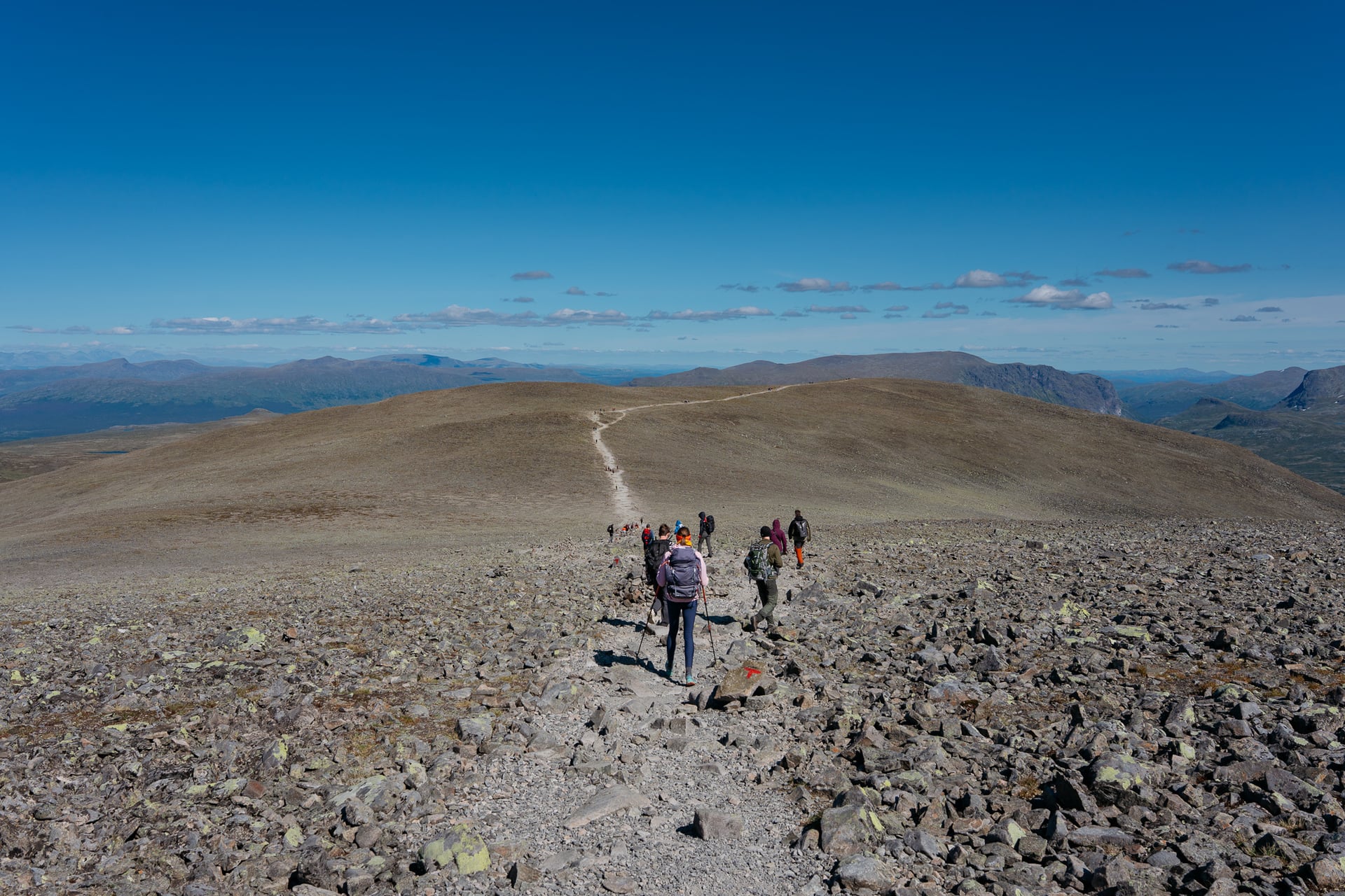
Past Veslefjellet the path drops back down towards Gjendesheim, the gradient easing as you lose height and the lake comes back into view below. This is a long, knee-testing descent rather than a technical one, and it is where fatigue from the earlier climbing tends to catch people out.
Which Direction to Hike Besseggen
DNT's own guidance is specific: take the boat first, from Gjendesheim to Memurubu, then hike the ridge back to Gjendesheim. Their reasoning is straightforward. Climbing the steepest section feels less exposed than descending it, which is what you would be doing if you walked the route the other way round.

It is possible to hike Gjendesheim to Memurubu and catch the boat back, and the boat operator reckons that way round gives the finest view of the two. It also means taking the steep, exposed section as a descent rather than a climb, which is harder to do carefully and a good deal harder if you are uneasy with heights. Unless you have a specific reason to go the other way, book your boat ticket in the Gjendesheim-to-Memurubu direction and hike the return leg.
How Hard Is the Besseggen Ridge
How Hard It Is
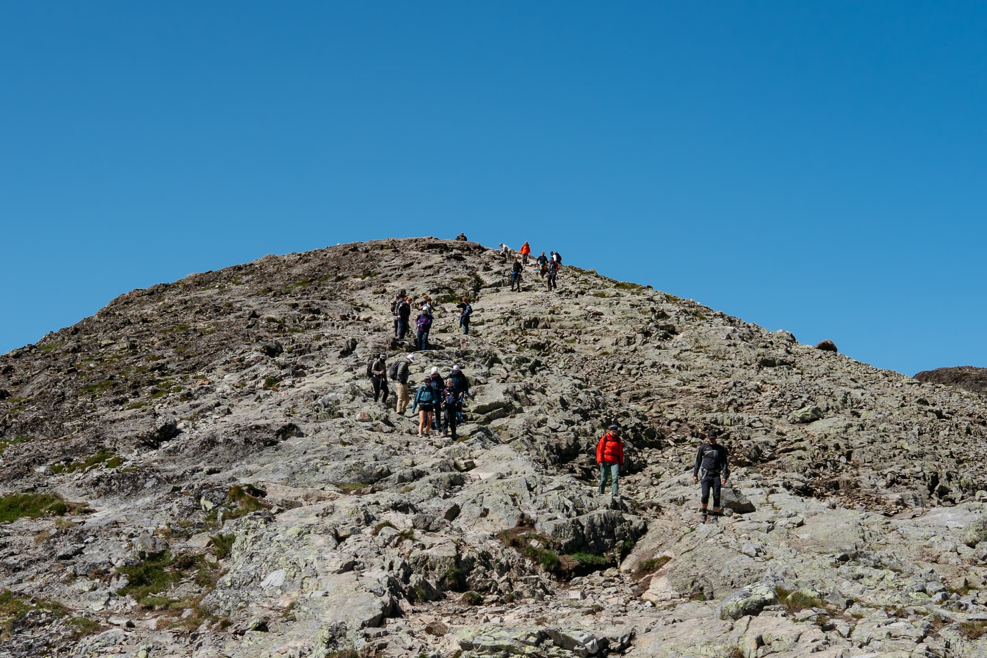
DNT rates Besseggen among the most demanding routes in its own grading system, in the same tier as routes defined by steep, uneven terrain, sustained exposure without a hard cap, airy sections requiring hands-on scrambling, narrow ridgelines, rock slabs and loose scree.
VisitNorway's more practical framing is that no technical climbing equipment is needed, but there is a short, very airy stretch, and the route is windy, steep and narrow enough that comfort with exposure matters as much as fitness.
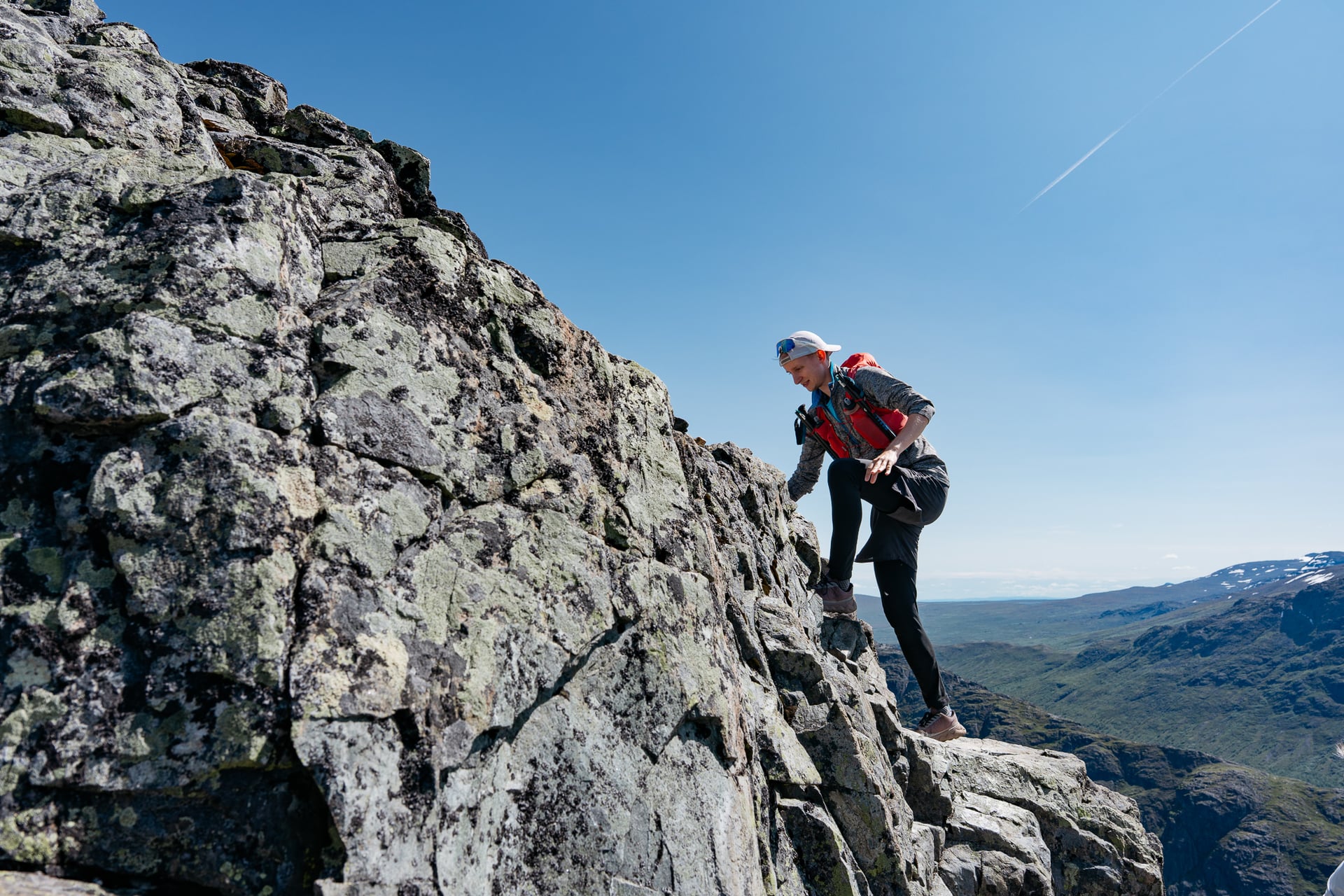
In practice that means Besseggen is not the right introduction to mountain walking. A reasonable level of fitness, sure-footedness on loose rock, and a working comfort with heights all matter more here than technical skill. If you already know you are uneasy on exposed ground, this is one to sit out, or to reconsider for a calm and clear day only.
What the Trail Is Like
The surface changes character through the day: birch scrub and open ground climbing out of Memurubu, bare rock and scree on the ridge itself, then a longer descent on a clearer path back to Gjendesheim. None of it is a maintained, graded track in the way a lowland trail might be. Expect to place your feet deliberately on uneven rock for most of the day.

Norwegian trails, including this one, are marked with a standard system of small cairns, some capped with a red-painted T, built to stay visible in grey weather. Treat this as a general guide rather than a line painted on the ground. On a route this popular, in good visibility, the path itself and other hikers are often the clearest indication of where to go. In poor visibility that changes quickly, which is one reason DNT is firm about not starting in fog.
Besseggen is busy. In July and August expect company for most of the day, including at the exposed sections where passing another party takes patience rather than speed. Its National Tourist Trail status brings funding for wardens and hosts through the summer season, which is a fair reflection of how many people the route handles. Shoulder-season hikers trade some of that company for a quieter ridge and less predictable weather.

What tends to surprise first-timers most is how physical the climbing sections are, and how fast the wind can change once you are above 1,700 metres, even in the middle of summer.
The Hazards That Matter
The specific hazards here are exposure, weather and rock, not any single dramatic danger. The ridge's narrow sections run along the lip of a roughly 400-metre drop to Lake Gjende. Wind and rain make the rock slippery and the exposure far less forgiving; fog removes your ability to see the drop, which is exactly why it removes your ability to judge it safely.

Snow can linger on the higher ground into mid-June, well after the boat season has started, so an early-season date does not guarantee a snow-free ridge. Rockfall is a real risk on steep Norwegian mountain terrain generally, and it has been reported on this stretch. The Norwegian Mountain Code has been the standard reference for hiking safety in Norway for decades, and it applies directly to a route like this:
Plan your trip and let someone know your route.
Adapt the plan to your ability and the day's conditions.
Check the weather and trail forecasts before you set out.
Be ready for bad weather and cold, even in summer.
Carry equipment to help yourself and others.
Choose routes carefully and recognise unsafe ground.
Use a map and always know where you are.
Turn around in good time, there is no shame in it.
Conserve your energy and find shelter if you need it.

Rule eight is the one most relevant to Besseggen specifically. If the forecast shows strong wind, heavy rain, thunder or fog, the best advice is simply not to start. Check the mountain forecast on yr.no the evening before and again on the morning. In an emergency, call 112.
For general principles on reading mountain weather and deciding when to turn back, our mountain safety guide covers the same reasoning in more depth.
Best Time to Hike Besseggen
The hiking season generally runs June to October, with July, August and early-September weekends as the busy core. In practice the more useful window is set by the boat and the huts rather than the calendar: Gjendesheim is typically staffed from mid-June to early October, and Memurubu from around mid-June to mid-September, though exact opening and closing dates shift from year to year.

Outside that window you can still reach the area, but without the boat running to schedule or a staffed hut to fall back on, the day becomes considerably harder to plan and less forgiving if something goes wrong. July and August are busiest, when most of that 60,000-strong annual count crosses, and they are also the most settled weather window. Mid-June and early-to-mid September are quieter, with a real trade-off: fewer people on the ridge, but a higher chance of lingering snow in June, and shorter daylight and sharper weather changes in September.
For the wider national picture on when different Norwegian regions come into season, see our guide to the best time to hike in Norway.
Getting There and the Gjende Boat
From Oslo, the Valdresekspressen coach runs to Gjendesheim in around four and a half hours, and only covers the final leg to Gjendesheim in the summer and autumn season. Alternative connections run from Otta and from Sogndal. Gjendesheim itself has a small quay-side car park with two hours of free parking for drop-offs, plus the larger Reinsvangen car park about 1.7 kilometres away, linked to the quay by a shuttle bus in peak season.

The boat itself is run by Gjendebåtene, a family business that has operated on the lake since 1906. Fares change from year to year, so check gjende.no directly before you travel. Pre-booking matters: this crossing sells out in peak season, and tickets are not generally refundable once bought.
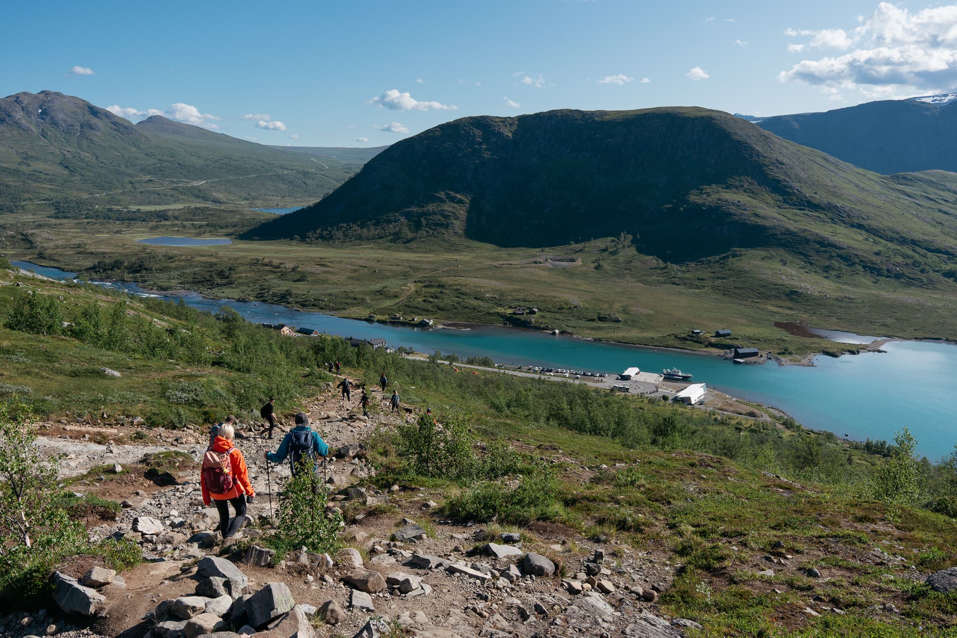
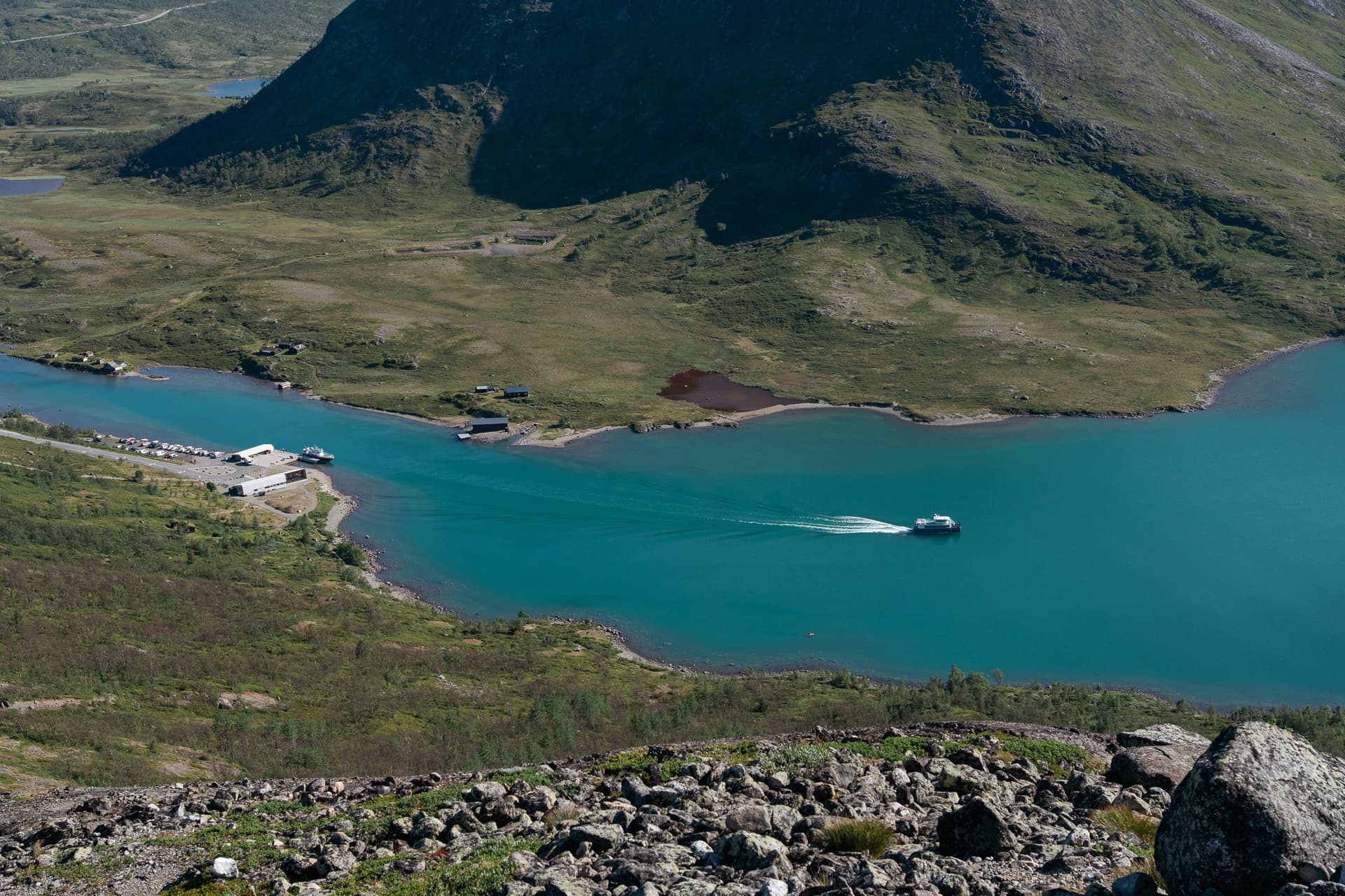
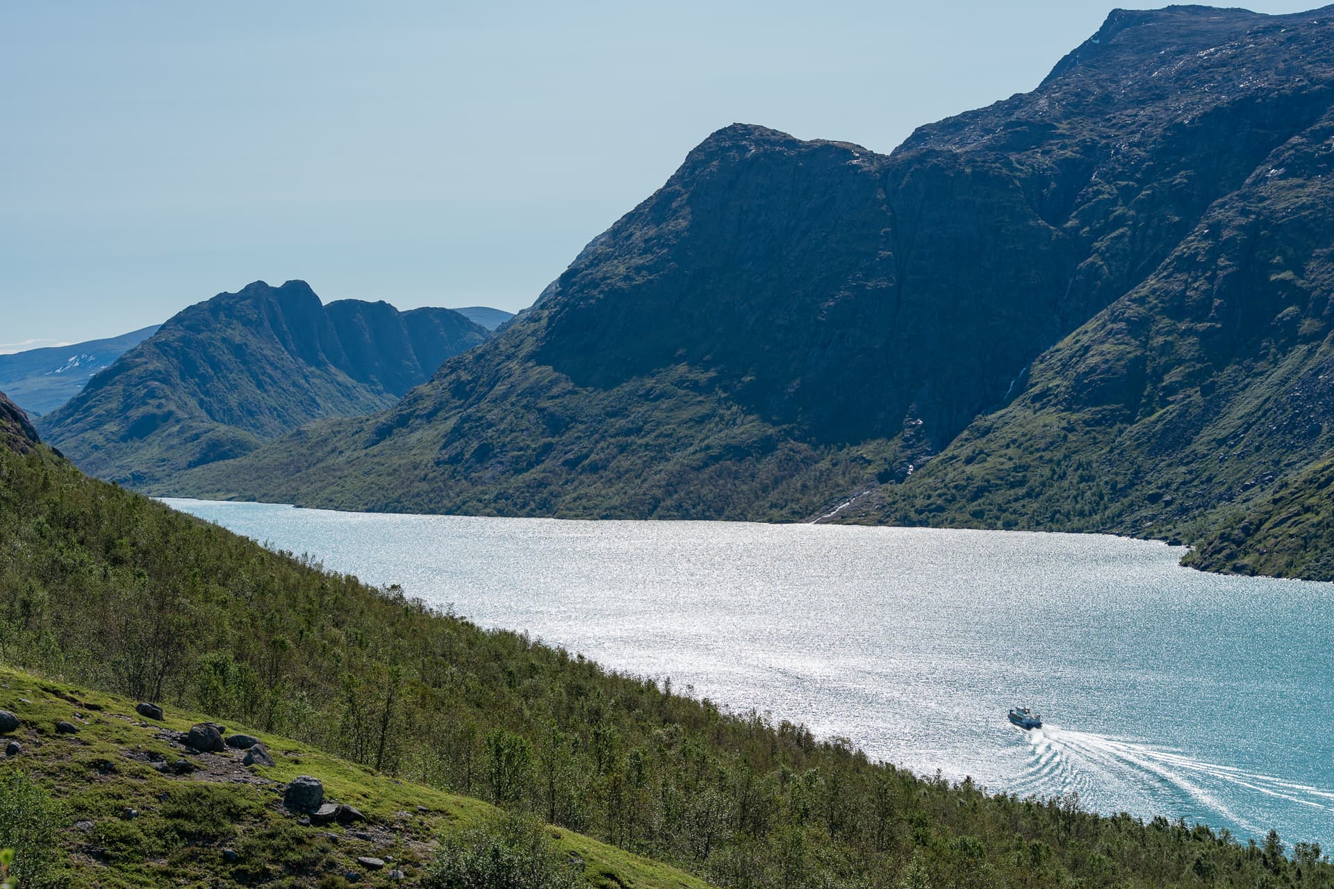
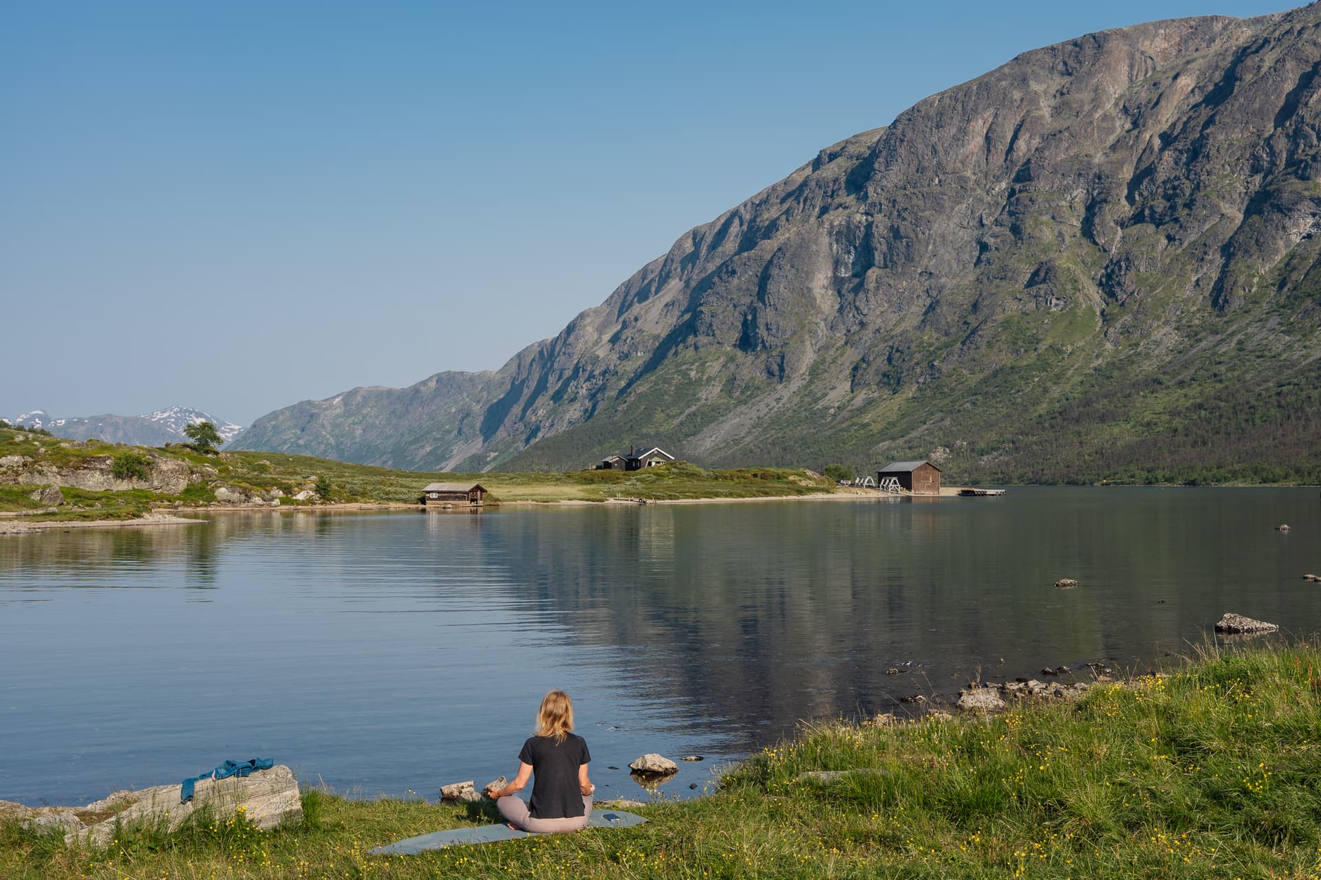
If you are hiking Besseggen as a single day rather than staying over, plan around the boat rather than the bus. Book an early crossing to Memurubu, since the whole day depends on it and later sailings fill first in high season. Check the return coach times out of Gjendesheim before you set off, so you know how much daylight buffer you actually have if the day runs long. The same coach operators serving Oslo, Otta and Sogndal on the way in run the route back out.
Gjendesheim and Memurubu Huts
Gjendesheim is a staffed DNT mountain hut, typically open for the summer season from mid-June to early October. Memurubu, at the other end of the crossing, is privately run rather than a DNT hut, with around 150 beds, and it opens from around mid-June to mid-September.
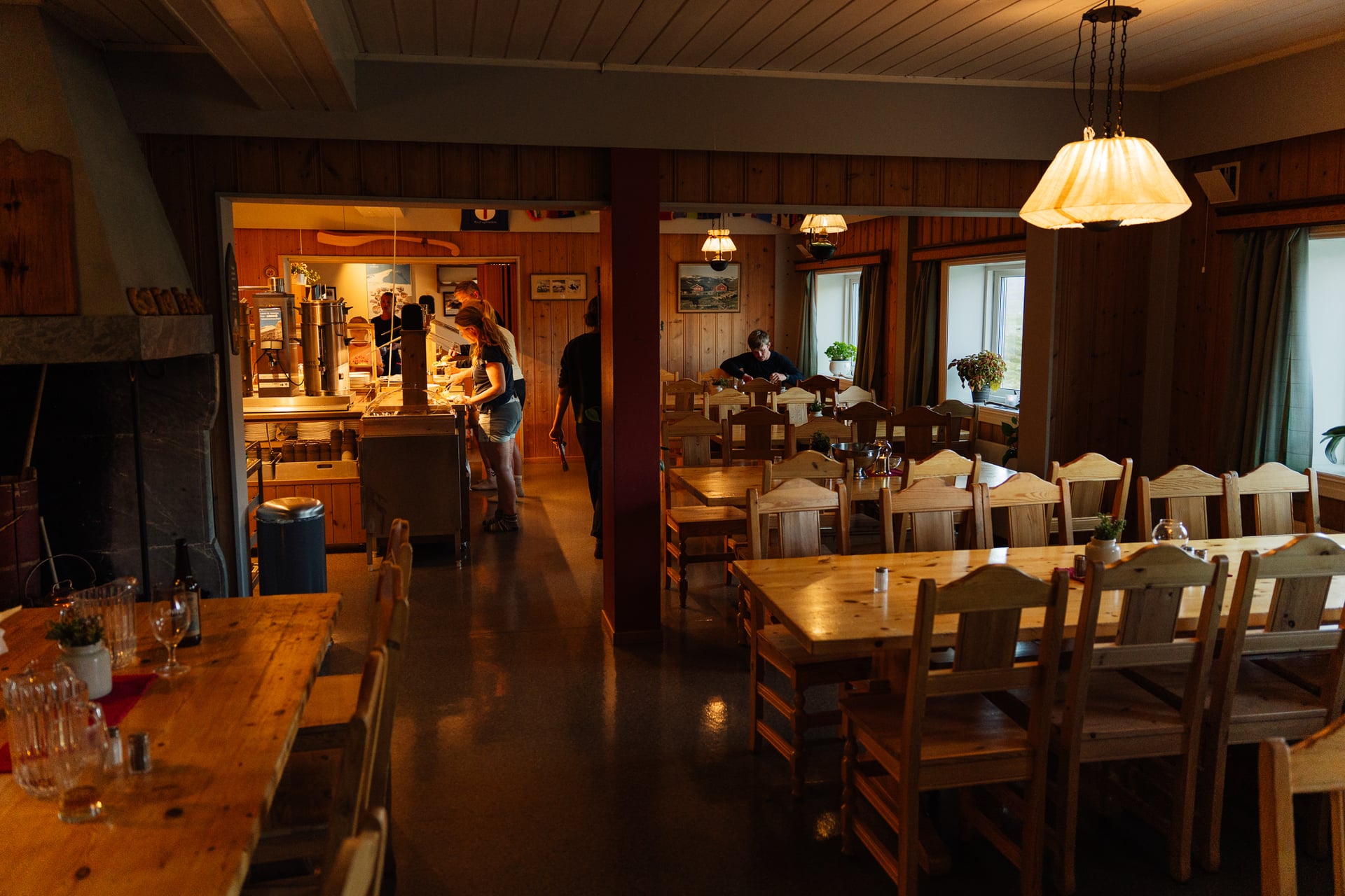
Both huts get busy at the height of summer, so book three to six months ahead for a July or August date. For how the wider DNT hut network works, membership, self-service versus staffed huts, and what to expect from a Norwegian mountain hut generally, see our full guide to Norwegian mountain huts.
Know Before You Go
Payment and Signal
Norway is close to a cashless society; card or contactless payment works almost everywhere, including the boat and both huts, though it is still worth carrying a little cash as backup in remote areas. Mobile coverage is confirmed at Gjendesheim; do not assume the same on the ridge itself or at Memurubu, and plan accordingly if you need to make contact along the way.

Drinking Water
On drinking water, general Norwegian outdoor guidance holds here as elsewhere in the mountains: clear, fast-flowing streams are generally safe to drink from untreated, while still or glacial meltwater is best avoided.
What to Pack
A short, realistic packing list for a summer crossing: sturdy, broken-in boots with real grip rather than trail trainers, waterproofs for both rain and wind, warm mid-layers even on a forecast-sunny day, and more water than you think you need. Take food for a full day out rather than snacks, a basic first aid kit, and a map and compass or a downloaded offline map, since phone signal is not guaranteed once you are past Gjendesheim. A head torch is worth carrying even in midsummer, in case a late start or slow pace pushes you close to dusk.
Ready to Hike Besseggen?
One day is enough for the ridge itself, but it ties you to one boat and one bus, with little room to wait out bad weather. Our four-day Jotunheimen Highlights trip makes Besseggen the centrepiece of day two, then continues over the Bukkelægret plateau to Gjendebu.
With more time, the eight-day Jotunheimen Hut-to-Hut Trek takes in Galdhøpiggen and Glittertind, Norway's two highest peaks, and finishes over Besseggen into Gjendesheim. If you would rather we shaped it around your own dates, get in touch with our team.
Frequently Asked Questions

About this author
Ajda is our travel advisor, raised in a village surrounded by mountain peaks. Hiking entered her life early on and remains her favorite way to reconnect with nature.













.jpg&w=828&q=75)












































.jpg&w=828&q=75)























