Hiking In Snowdonia: Yr Wyddfa and the Other Fourteen
About the busiest summit in Britain, the six paths to reach it, and fourteen peaks around it worth walking as well.

Ajda
Published September 22, 2026
Edited September 22, 2026
14 min read
Quick links
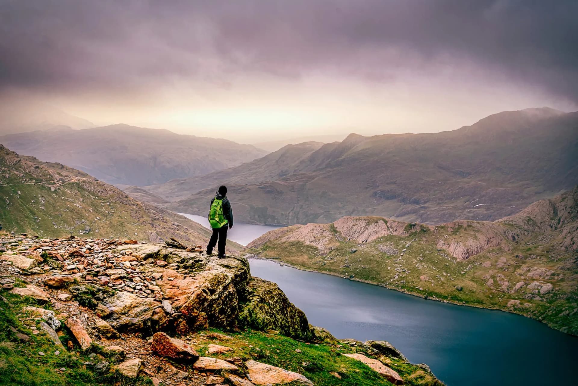
Snowdonia, officially Eryri since 2022, is the largest national park in Wales and the busiest in Britain for hiking. Yr Wyddfa is the reason most visitors book the trip — 1,085 metres, six waymarked routes to the summit, over half a million walkers a year — and it is also the reason most of them miss everything else the park holds.
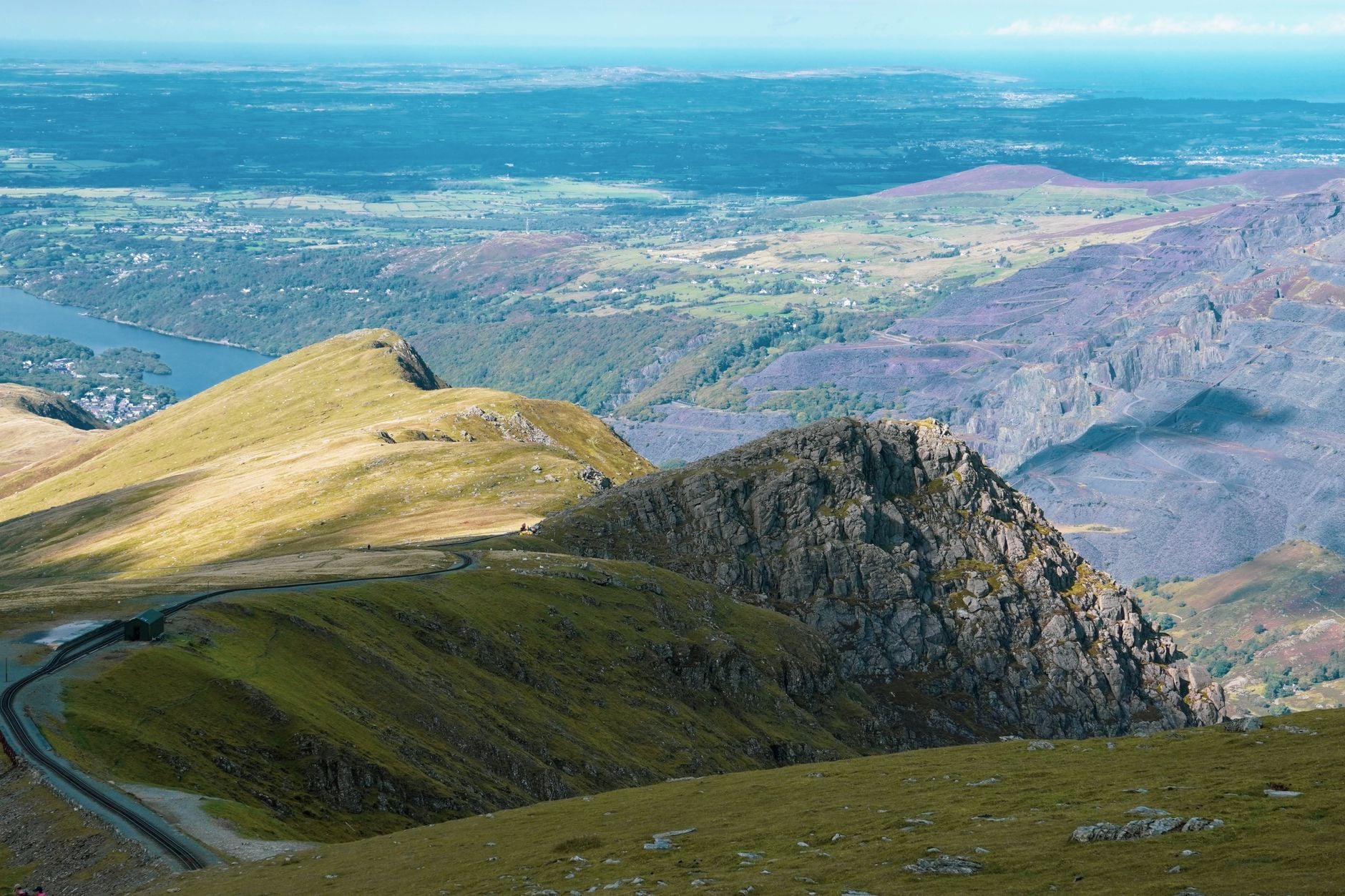
In 823 square miles, the park holds four mountain ranges, roughly a hundred lakes, thirty-seven miles of Cardigan Bay coastline, a UNESCO-listed slate landscape, six preserved narrow-gauge railways, and every one of the fifteen Welsh peaks over 3,000 feet. Yr Wyddfa is, in fact, one of the smallest chapters of a much larger book.
Here's what a proper hiking trip needs to cover — the areas of the park and how they differ, the classic walks in each, the Welsh 3000s traverse, the industrial heritage on foot, when to go, and the rules that decide whether the trip works.
What Makes Hiking in Snowdonia Different
Three things separate hiking in Snowdonia from what most visitors expect on the plane over, and none are visible in the summit photograph.
1. Crowd asymmetry
Yr Wyddfa carries over half a million summit visits a year — the most-climbed mountain in Britain. The Carneddau, the Glyderau and the Cadair Idris massif together hold nine of the fifteen Welsh peaks over 3,000 feet, and outside a handful of honey-pot days you can walk most of them without meeting another party for an hour at a time.
2. The weather at the tops
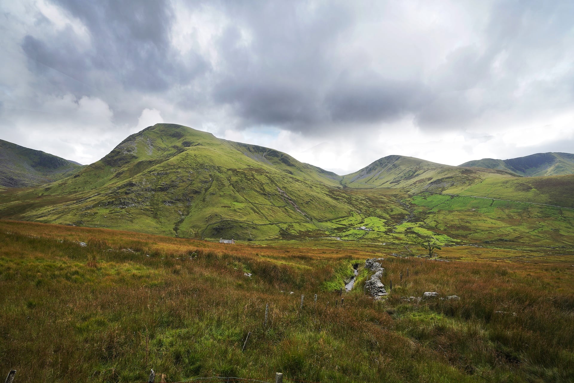
Cloud cover on Yr Wyddfa's summit sits at roughly two days in three year-round, and average rainfall on the highest ground stands at over 3,000 mm, with the wettest sites exceeding four metres. That is more than three times the driest valley reading anywhere in England. A settled July week is a genuine minority outcome, and route-finding above 800 metres depends on carrying a map rather than trusting fingerposts — which above the tree line are increasingly Welsh-only, following the park's November 2022 decision to lead with Eryri and Yr Wyddfa in place of the English names.
3. The length of the winter season on the summits
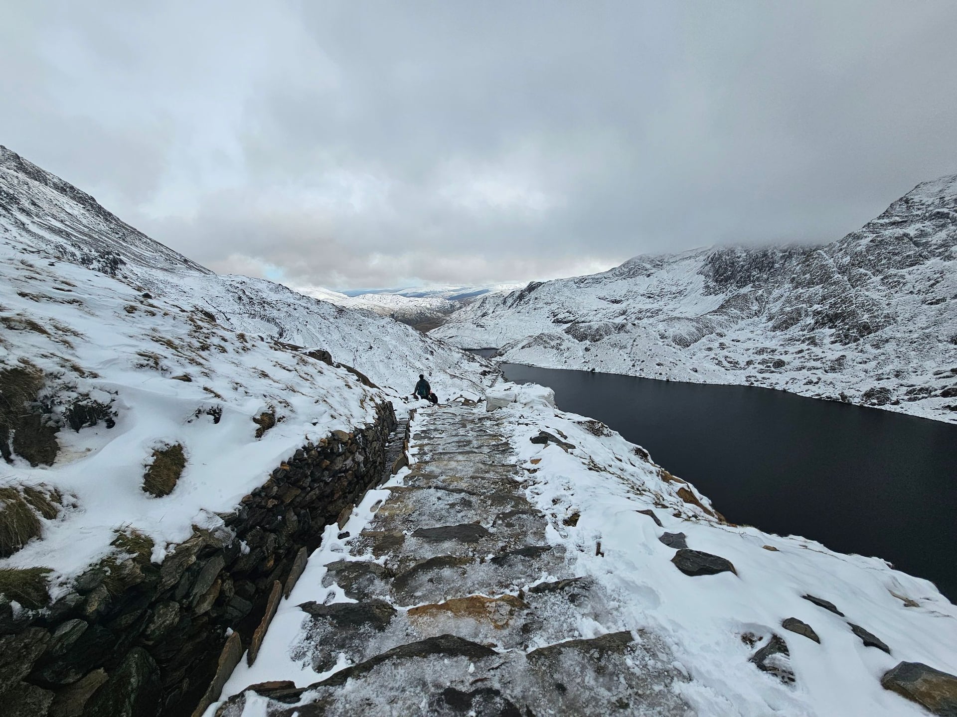
Averages for Cwmystradllyn, a station within the park, record snow falling on more than 30 days a year and lying on the ground for over 20; the summit figures are higher. Full winter conditions typically run late December through late March — axe, crampons and the skills to use them, not summer boots and a shell. March is the month walkers get caught out most often.
The Park at a Glance
Snowdonia was designated in October 1951, the third UK national park after the Peak District and the Lake District. It covers 823 square miles of north-west Wales — the largest national park in the country and the second-largest in the UK after the Cairngorms — running from the Conwy Valley in the north-east to Aberdyfi on the Cardigan Bay coast, and holding roughly a hundred lakes, thirty-seven miles of shoreline, and six preserved narrow-gauge railways still running.
Quick facts
Designated — October 1951 (third UK national park)
Size — 823 mi² · 2,132 km²
Highest peak — Yr Wyddfa (Snowdon), 1,085 m
Peaks over 3,000 ft — 15, across three ranges
Mountain ranges — Snowdon massif · Glyderau · Carneddau · Cadair Idris and the south
Natural lakes — ~100, largest is Llyn Tegid at 3.7 miles
Coastline — 37 miles on Cardigan Bay
UNESCO status — Slate Landscape of North-West Wales (2021)
Dark Sky Reserve — Since December 2015
Nearest airports — Manchester (2 h), Liverpool (2 h), Cardiff (3.5 h)
Base villages
Which base you pick shapes the trip:
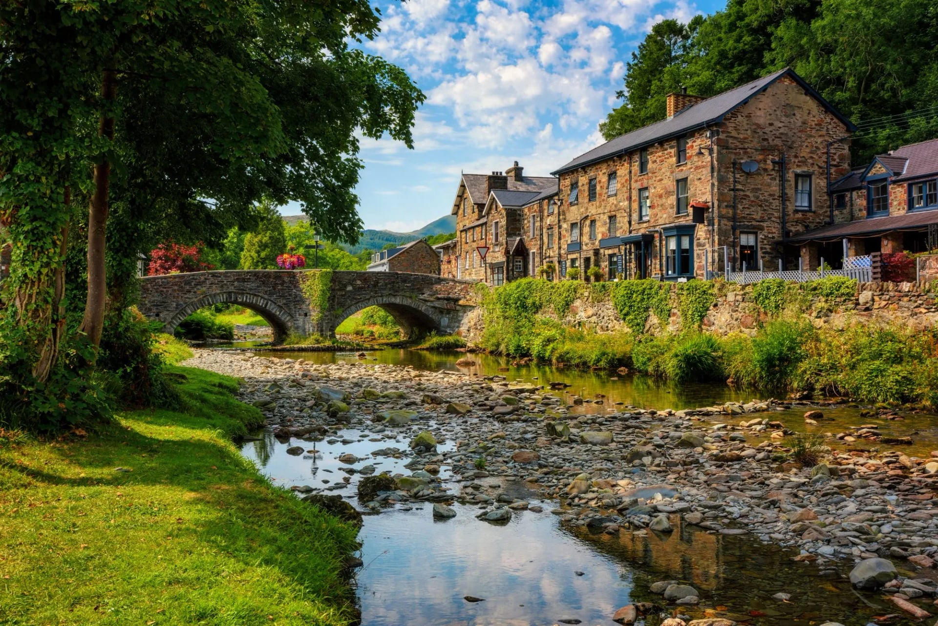
Betws-y-Coed — main tourist hub in the north-east, gateway to the Carneddau and Glyderau. Direct trains from Llandudno Junction.
Llanberis — western Yr Wyddfa base, at the foot of the Mountain Railway on Llyn Padarn. Home to the National Slate Museum.
Beddgelert — smaller mountain village, direct access to the Snowdon Ranger and Rhyd Ddu trailheads.
Dolgellau — southern base, at the foot of Cadair Idris. Slate-built market town, far quieter than the northern hubs.
Bala — inland lake town on Llyn Tegid, the largest natural lake in Wales.
Best Hikes in Snowdonia by Area
The park's walking splits cleanly into three geographies. The northern half carries every summit worth booking a trip around, including Yr Wyddfa itself. The valleys and low-level lakes deliver the classic short walks — Cwm Idwal is the most-walked short trail in the park, and it is nowhere near a summit. The southern half is quieter, greener, and rarely mentioned in the same conversation as the northern peaks.
Yr Wyddfa and the northern peaks
The northern half holds Wales's highest ground. Yr Wyddfa at 1,085 metres is the highest point in Wales and the busiest mountain in Britain — over half a million walkers reach the summit each year, drawn by six waymarked routes that range from the gentle Llanberis Path (13 km, 936 m of ascent) to the punishing Watkin Path (13 km, 1,015 m from Bethania at just 60 m). The Snowdon Mountain Railway climbs alongside the Llanberis alignment in summer, and the Snowdon Horseshoe scramble across Crib Goch and Crib y Ddysgl is the classic mountaineering day.
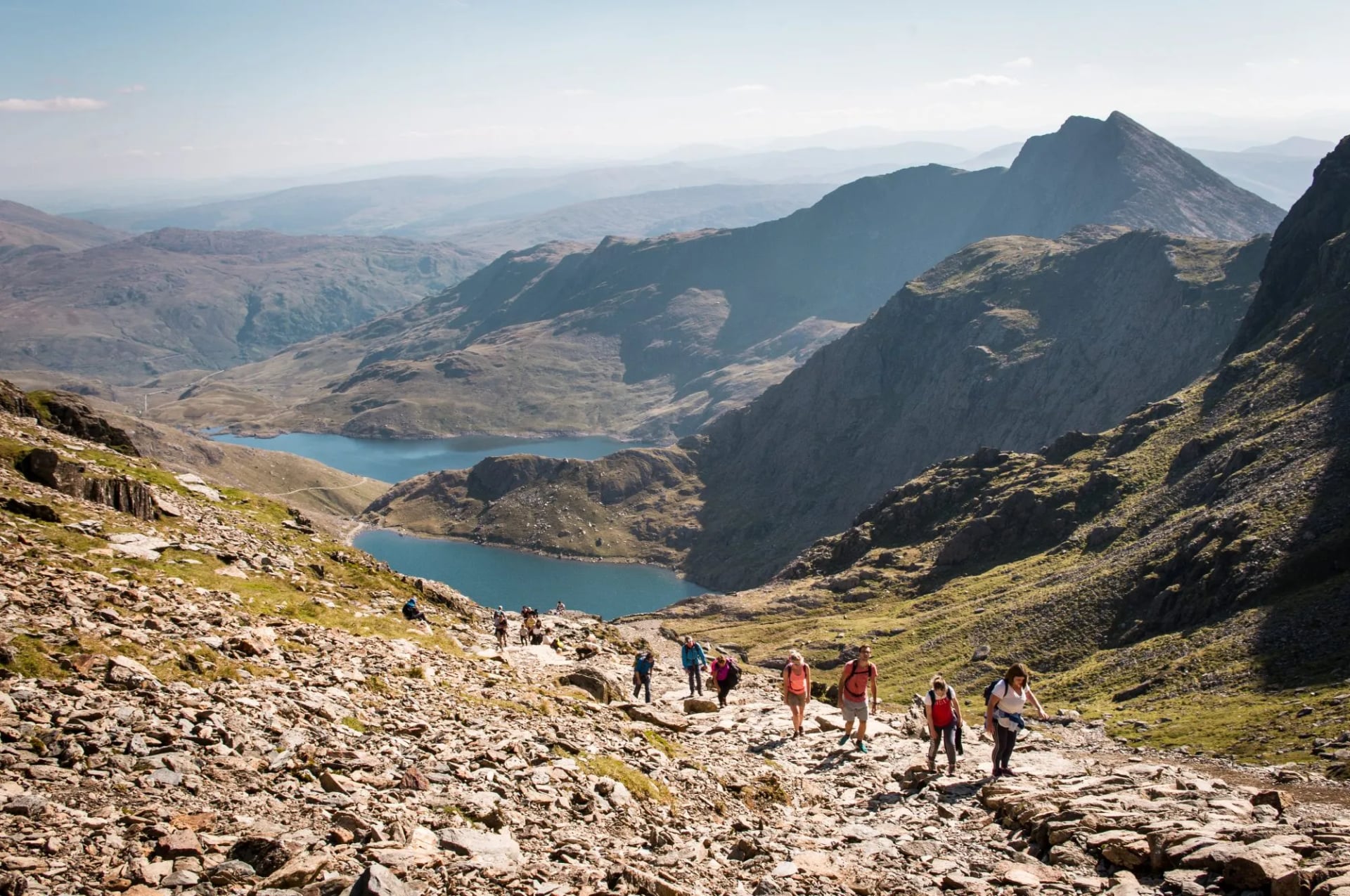
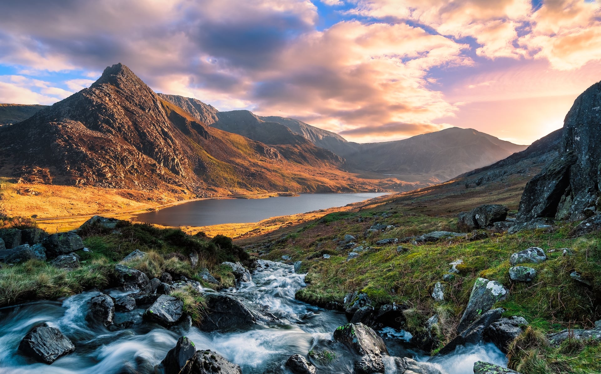
The two ranges next door carry a fraction of that traffic. The Glyderau, immediately north across the Llanberis Pass, hold Glyder Fawr (1,001 m) and Glyder Fach (994 m), with the sensational Tryfan (917 m) on the north-east edge — reachable only by scrambling on either the North Ridge (grade 1) or the direct South Ridge, with the Adam and Eve rocks marking the summit. The Carneddau, further north, are the largest single upland mass in Wales, with Carnedd Llywelyn at 1,064 m as the second-highest peak in England and Wales after Yr Wyddfa. Long open ridge walking rather than sharp summits, and a herd of wild ponies unbroken since the medieval period.
The classic hikes:
Yr Wyddfa via the Llanberis Path — 13 km, 936 m ascent. The tourist route, and Day 4 of our Snowdonia Highlights trip.
The Snowdon Horseshoe (Crib Goch) — 12 km linking Crib Goch, Yr Wyddfa and Y Lliwedd. Grade 1 scramble, not walking.
Tryfan North Ridge — 4 km scramble to the Adam and Eve rocks on the 917 m summit. Grade 1, best done from Ogwen.
Y Garn and the Glyderau round — 12 km from Ogwen over Y Garn (947 m) to Glyder Fawr, Glyder Fach and the Cantilever Stone.
The Carneddau plateau traverse — 18 km high ridge day from Ogwen over Pen yr Ole Wen, Carnedd Dafydd and Carnedd Llywelyn.
Our five-day Snowdonia Highlights trip is built around this half of the park — the Nant Gwynant valley crossing between Pen-y-Pass and Beddgelert on days two and three, then the Llanberis Path summit of Yr Wyddfa on day four, all based out of Betws-y-Coed with baggage transfers between hotels.
Valleys, lakes and short walks
The most-walked short trail in Snowdonia is nowhere near a summit. Cwm Idwal, on the north face of the Glyderau above the A5, was Britain's first designated National Nature Reserve (1954). The two-mile loop around Llyn Idwal at 380 metres is the classic short walk in the park, and the scree above it leads up to the Devil's Kitchen (Twll Du) for a mountain morning without the summit-day mileage.
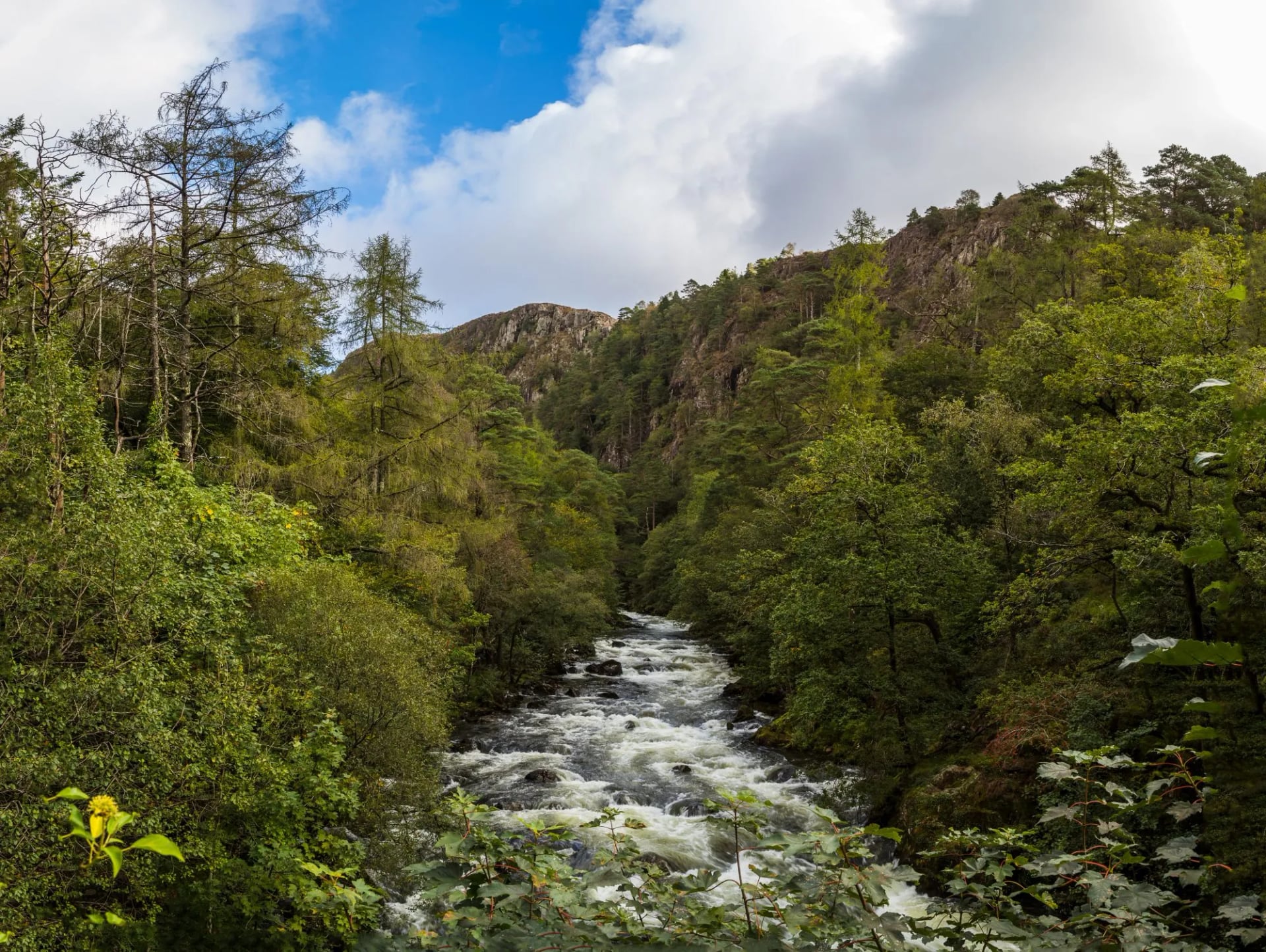
Beyond Cwm Idwal, the park's lower walking clusters around its lakes and waterfalls. Llyn Tegid near Bala is the largest natural lake in Wales at 3.7 miles long. Aber Falls on the park's north edge is a 37-metre single-drop waterfall reached on a three-mile out-and-back, and Swallow Falls on the Afon Llugwy is the busiest waterfall in the park, a short walk from Betws-y-Coed. Coed y Brenin and Gwydir Forest hold miles of sheltered lower-level walking that stays open when the tops are lost in cloud.
The classic hikes:
Cwm Idwal and the Devil's Kitchen loop — 5 km from Ogwen car park. Britain's first National Nature Reserve, and the most-walked short trail in the park.
The Nant Gwynant valley crossing — 12–17 km from Pen-y-Pass down to Beddgelert, past Llyn Gwynant and Llyn Dinas. Days 2 and 3 of our Snowdonia Highlights trip.
Swallow Falls circuit from Betws-y-Coed — 4 km on the Afon Llugwy, on the tour's arrival day.
Aber Falls out-and-back — 4.5 km to the 37 m single-drop waterfall on the park's northern boundary.
Llyn Padarn shoreline in Llanberis — flat lakeside path past the National Slate Museum and the Dinorwig terraces.
Southern Snowdonia
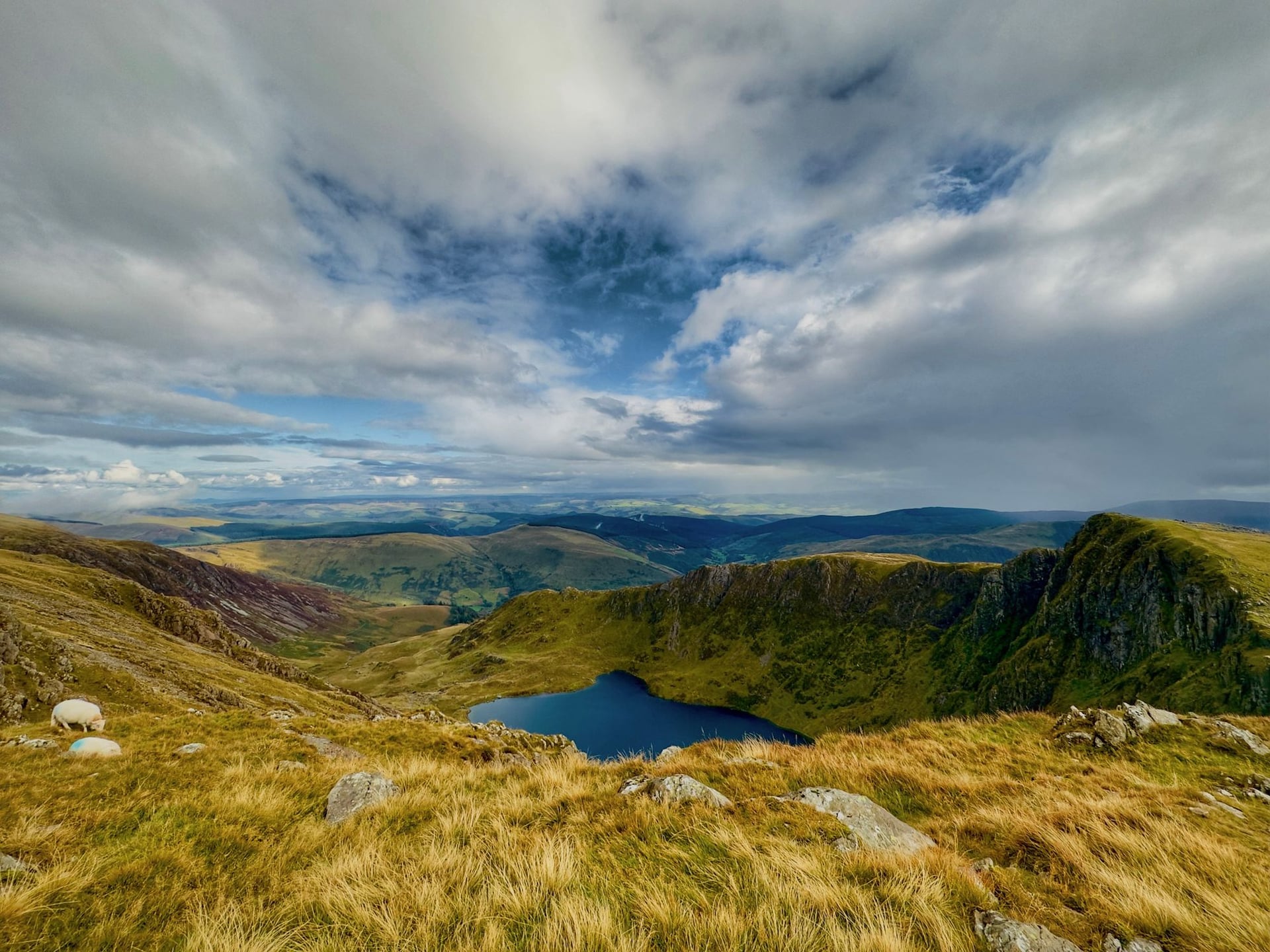
The park's southern half is a different landscape entirely — quieter, more open, and rarely walked by the crowds that fill Pen y Pass. Cadair Idris at 893 metres is the anchor peak, with three waymarked routes (Pony Path, Fox's Path, Minffordd Path) all under six miles round-trip. Legend says anyone who spends a night on the summit wakes either mad or a poet. The Rhinogydd, further west, are the roughest walking country in Snowdonia — heather-blocked ground and hidden crags that guidebooks rate as the hardest going per mile anywhere in the park. Aran Fawddwy (905 m) east of Dolgellau is the third significant southern summit and one of the least walked in the park.
The classic hikes:
Cadair Idris via the Minffordd Path — 10 km, 850 m ascent. The finest and most scenic route to the 893 m summit.
Cnicht (689 m) — 8 km round trip from Croesor to "the Welsh Matterhorn". Bigger view than height.
The Rhinogydd traverse — multi-day route through Rhinog Fawr (720 m) and Rhinog Fach (712 m). Roughest walking country in the park.
Aran Fawddwy from Cwm Cywarch — 15 km, 900 m ascent. One of the least-walked 900 m summits in Wales.
The Welsh 3000s
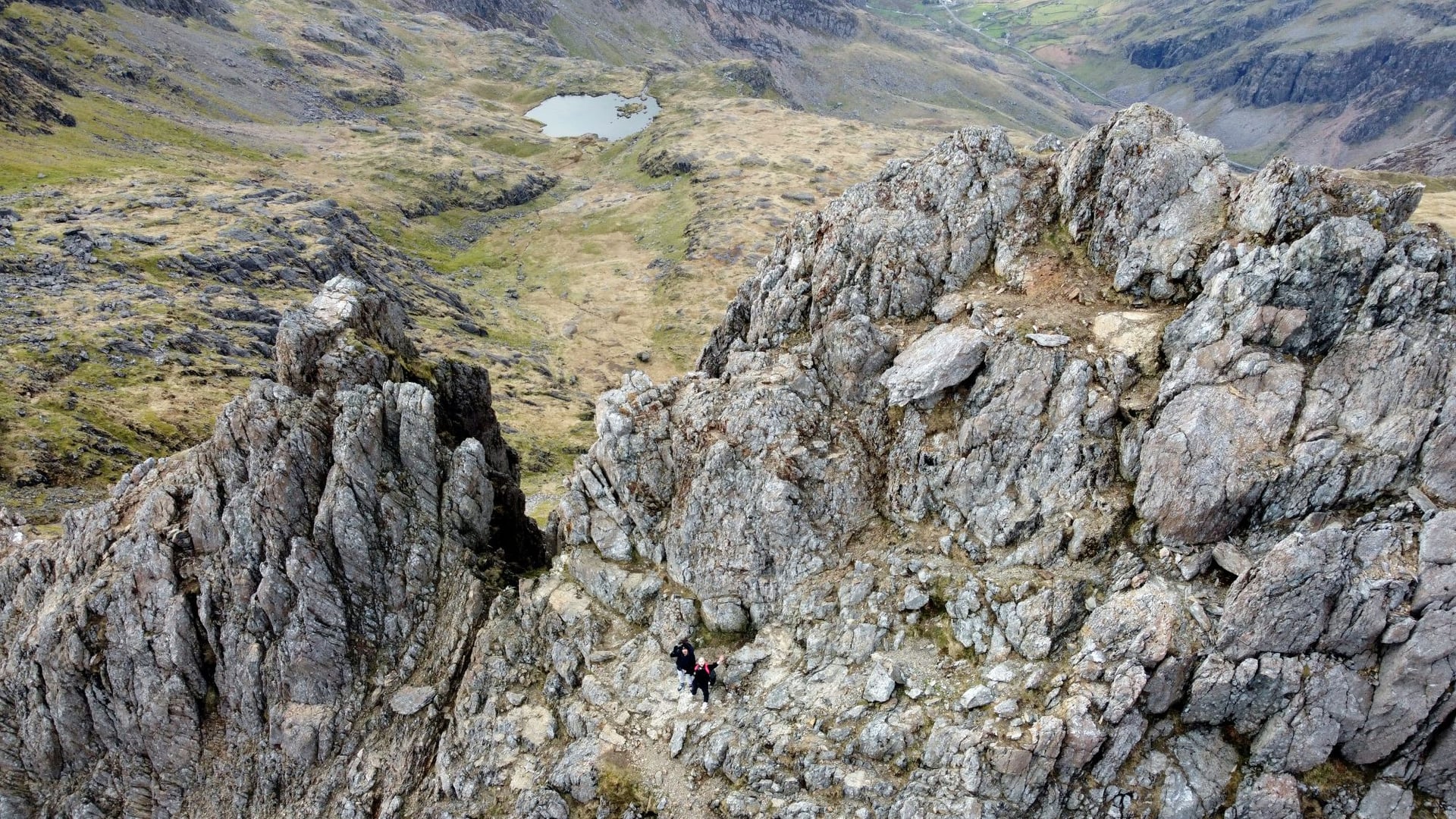
The park's classic long day is the traverse of all fifteen Welsh peaks over 3,000 feet (914.4 m) — across the Snowdon massif, Glyderau, and Carneddau — inside twenty-four hours. About 26 miles first summit to last with roughly 3,300 metres of ascent, including the grade 1 scramble on Crib Goch. The published fell-running record for the first-to-last section is 4 hours 10 minutes 48 seconds, set by Finlay Wild in 2019; strong walking parties finish in 16–20 hours, and most who attempt it split it across two days rather than push the twenty-four-hour clock.
Slate country and the railways
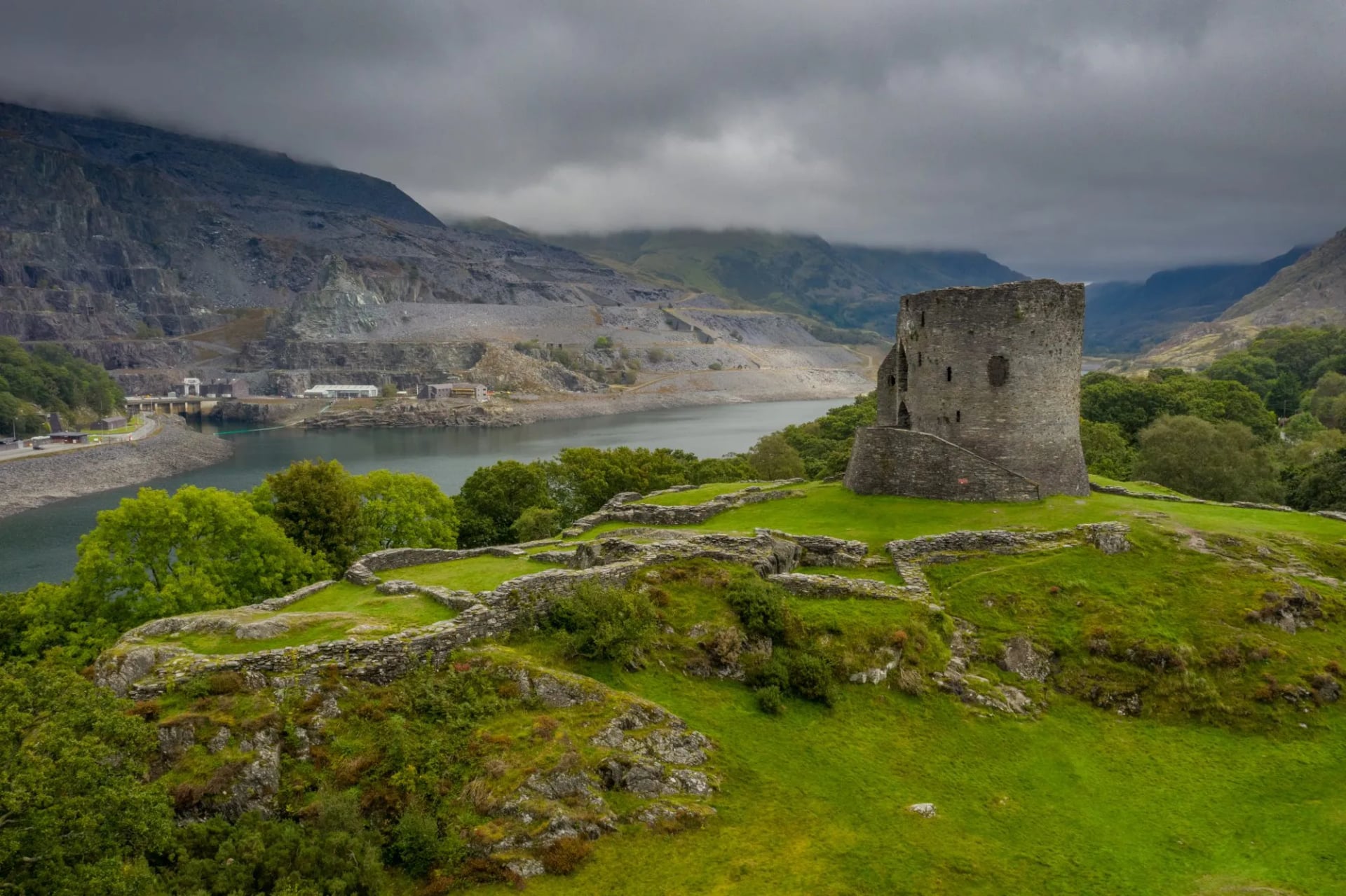
The industrial half of Snowdonia is on the UNESCO World Heritage List. The Slate Landscape of North-West Wales was inscribed on 28 July 2021 at the World Heritage Committee's 44th session, becoming the UK's 32nd World Heritage Site. Most walkers meet it at the Dinorwig quarry above Llanberis — closed in 1969 and now a cascade of terraces above the town — and at the Ffestiniog slate landscape around Blaenau Ffestiniog, where the underground quarries once produced roughly a third of the world's slate.
The steam railway network the slate industry built is still running. Six preserved narrow-gauge lines operate inside or adjacent to the park: the Ffestiniog (built 1836, the oldest independent railway company in the world), the Welsh Highland (Caernarfon to Porthmadog, the UK's longest narrow-gauge line), the Snowdon Mountain Railway, the Talyllyn (the first railway anywhere preserved by volunteers, from 1951), the Bala Lake Railway, and the miniature-gauge Fairbourne coastal line. All run seasonally, mostly Easter to October, and integrate with the Sherpa'r Wyddfa bus network for car-free itineraries.
When to hike in Snowdonia
Met Office long-term averages for Cwmystradllyn (1991-2020, inside Eryri) record May as both the driest and sunniest month: 113 mm of rain and 183 hours of sunshine. November is the wettest at 219 mm, and every month from October to January averages over 180 mm. The seasonal shape below is the working walker's calendar.
Lambs and fresh pasture at valley level while May runs 113 mm of rain and 183 hours of sun
The driest window and the longest days. May specifically averages 113 mm of rain and 183 hours of sunshine at Cwmystradllyn — the practical peak of the year. Wildflowers on the lower pastures, and the Snowdon Mountain Railway starts running to the summit from 1 May.
Some snow can linger on the north-facing summits into April. The Pen y Pass booking system runs from March 1, so trailhead planning matters even in a quiet April.
Lambs and fresh pasture at valley level while May runs 113 mm of rain and 183 hours of sun
Full sun and the summit train at capacity: June to August is when Pen y Pass books out weeks ahead
The warmest and busiest months. Yr Wyddfa's summit ridge sees a queue in fine weather, Pen y Pass parking books out weeks in advance, and Cwm Idwal's car park fills before nine in the morning. Sherpa'r Wyddfa buses run their fullest timetable, and the summit railway is at capacity.
For the peaks next door — Glyderau, Carneddau, Cadair Idris — this is still the best window, with the softest weather and the longest daylight.
Full sun and the summit train at capacity: June to August is when Pen y Pass books out weeks ahead
September runs drier than August, and the amber arrives before the railway stops on 25 October
The quiet alternative. September is drier than August at Cwmystradllyn, the light turns amber on the moorland, and the crowds thin as school terms resume. The summit railway keeps running until 25 October; after that Hafod Eryri, the summit visitor centre, closes for the winter.
First autumn snow can arrive on the higher ridges by mid-October. Southern Snowdonia stays walkable further into the month than the northern peaks.
September runs drier than August, and the amber arrives before the railway stops on 25 October
Above roughly 700 metres between December and March, axe and crampons stop being optional kit
Snow falls on more than 30 days a year at valley level, more on the tops. Full winter conditions on the ridges run late December through late March, sometimes further either side. Above roughly 700 metres in that window, ordinary three-season kit is not enough — axe, crampons and the skills to use them are standard. March is the month walkers get caught out most often, when the calendar suggests spring but the crest is still on winter.
Above roughly 700 metres between December and March, axe and crampons stop being optional kit
Know before you arrive
Parking
Pen y Pass must be pre-booked through JustPark and stays that way until 1 November 2026, per the Eryri National Park Authority. Bookings cannot be extended, and a standard bay takes vehicles up to five metres long. Nant Peris Park and Ride is the walk-in alternative, connected to Pen y Pass by frequent Sherpa'r Wyddfa buses.
Buses
Sherpa'r Wyddfa runs five routes lettered S1 to S5 to Pen y Pass, Rhyd Ddu, Pont Bethania and the Snowdon Ranger trailhead. On weekends and school holidays the Nant Peris shuttle runs every fifteen minutes.
Summit railway
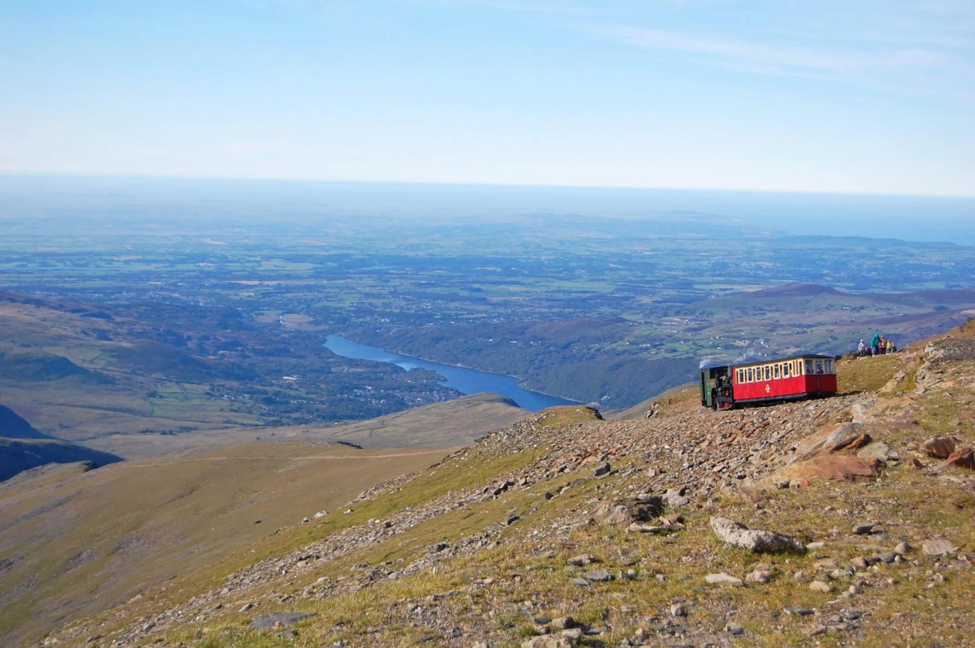
The Snowdon Mountain Railway operates from late March, but only reaches the summit from 1 May to 25 October. In March and April trains terminate at Clogwyn, three-quarters of the way up. Hafod Eryri, the summit visitor centre at 1,065 metres, closes with the railway.
Dogs and camping
On open access land dogs must be on a lead from 1 March to 31 July under the Countryside and Rights of Way Act — a legal requirement, not guidance, and Eryri specifies a two-metre lead. Wild camping requires landowner consent anywhere in the park; use the official campsites at Nant Peris, Beddgelert, Bala and Betws-y-Coed instead.
Water and forecast
No refill points on the ridges — two litres per person per summit day is the minimum. The Met Office mountain forecast for Eryri updates twice daily.
Planning Made Simple
Snowdonia rewards walkers who plan the weather and the trailhead but leave everything else honest. The park is small enough to cover in three days by car, the trails are waymarked, and the villages at the end of most walks have a warm pub within a mile of the finish. What takes planning is the Pen y Pass parking window, the Eryri accommodation in July and August, and a proper buffer for the two-in-three days when Yr Wyddfa's summit sits in cloud.
If you'd rather not handle those pieces yourself, our self-guided walking trips across the park come with the whole planning stack sorted — bookings, transfers, GPS navigation, and a digital guidebook with the six-route breakdown on Yr Wyddfa and the calendar around the Snowdon Mountain Railway.
Keep planning with our full range of Wales hiking tours, and see our UK hiking overview for how Snowdonia compares to walking trips in Scotland and England next door.

About this author
Ajda is our travel advisor, raised in a village surrounded by mountain peaks. Hiking entered her life early on and remains her favorite way to reconnect with nature.
















































.jpg&w=828&q=75)





















