Hiking in Ireland: 5 Best Multi-Day Trails
The 5 best trails for hiking in Ireland, from the Kerry Way to the Cliffs of Moher, with the stages, the season and what the ground is actually like.

Jon
Published September 15, 2026
Edited September 17, 2026
30 min read
Quick links
Hiking in Ireland has a texture that's hard to prepare for and easy to underestimate.
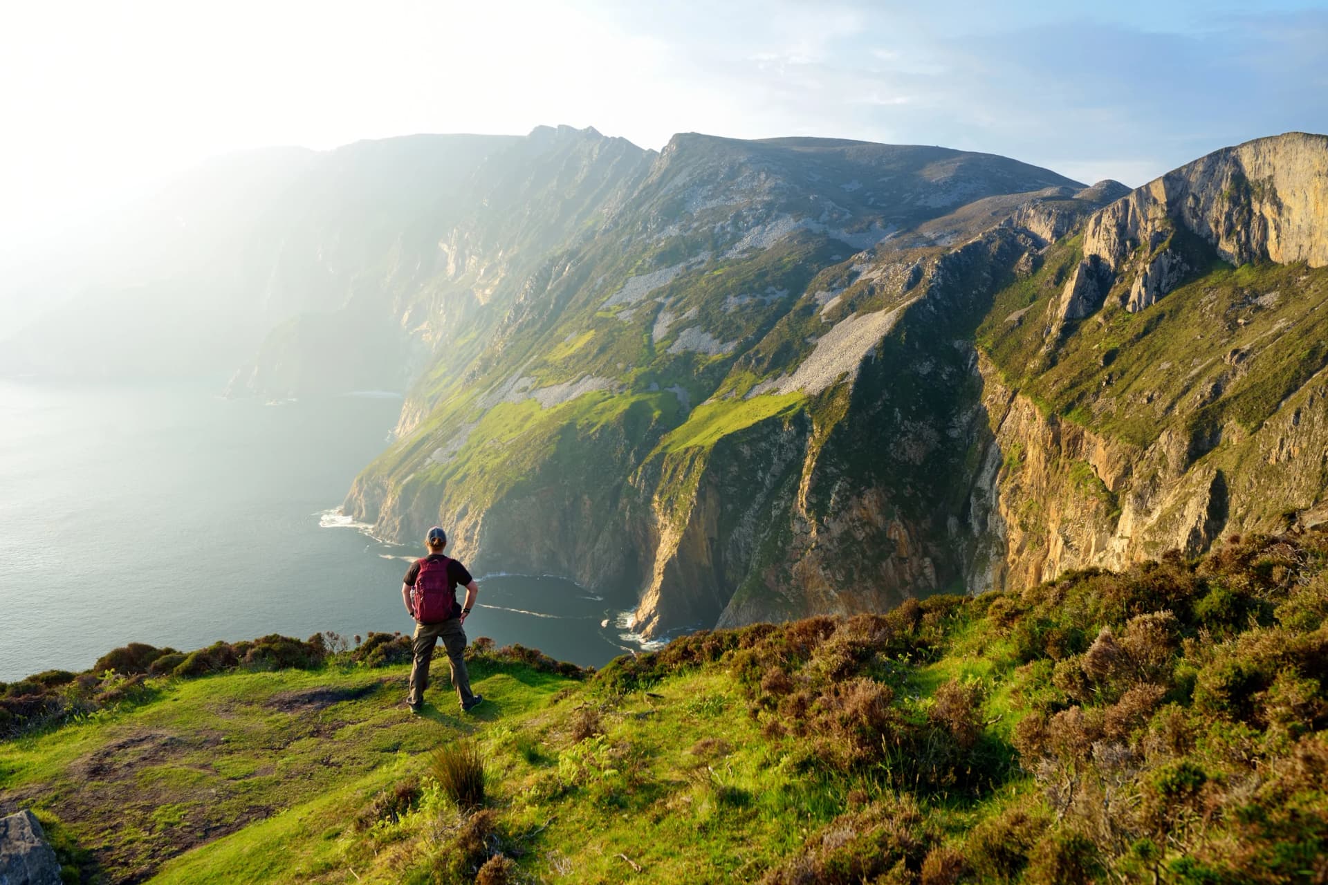
It doesn't announce itself the way mountain ranges do. There are no huts above the treeline, no cable cars, no glaciers to orient yourself by. What you get instead is an Atlantic headwind on a Dingle clifftop, a lane through a Kerry farm where the dog barely lifts its head, a stretch of boggy ground that swallows your boot to the ankle if you step off the path, and a guesthouse in a trail town with a fire going and someone who knows the route you just walked.
Ireland's 43 National Waymarked Trails cover more than 4,000 kilometres, linked together by old drovers' paths, coastal tracks, mountain passes and bog roads. Our Ireland walking holidays run on the best of them.
The five routes in this guide, four of them waymarked circuits built for a week or more on foot and one shorter crossing of the Clare coast, offer a range that no other country of comparable size can match: city-to-wilderness in a day, Atlantic coastline, medieval monastic valleys, and peninsulas so remote that some stages pass no road for hours at a stretch.
The 5 Best Multi-Day Trails
Distances and walking days for the four National Waymarked Trails below come from Sport Ireland's National Trails Office, which administers them. Other figures circulate: the Kerry Way is often quoted at 214 kilometres and the Beara Way at 206, measured on different lines. The Clare route is not a waymarked trail, so its figures are our own itinerary.
1. Kerry Way
Distance: 232.1 km
Walking days: 9
Start: Killarney
Counties: Kerry
Route: Circular
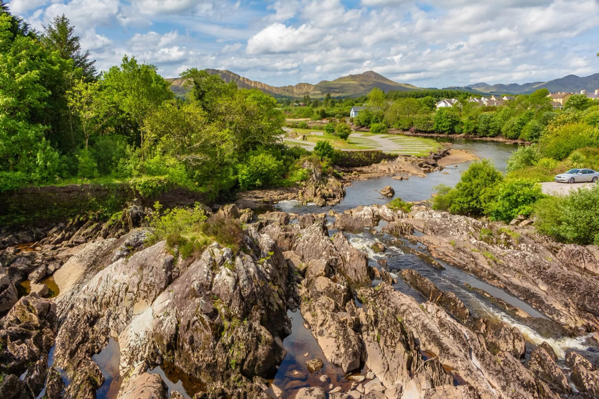
The Kerry Way is a 232.1-kilometre circular route that begins and ends in Killarney, looping around the entire Iveragh Peninsula through Killarney National Park and along sections of the Wild Atlantic Way. Ireland's longest waymarked trail, it is typically walked over nine days.
The trail divides naturally into two halves. The northern mountain stages (Killarney to Glenbeigh, stages 1 to 3) are among the most dramatic on any Irish trail: stage 1 climbs through the Gap of Dunloe onto open moorland where the MacGillycuddy's Reeks ridge dominates the western skyline, with Carrauntoohil (1,038.6m, Ireland's highest peak) visible in clear conditions.
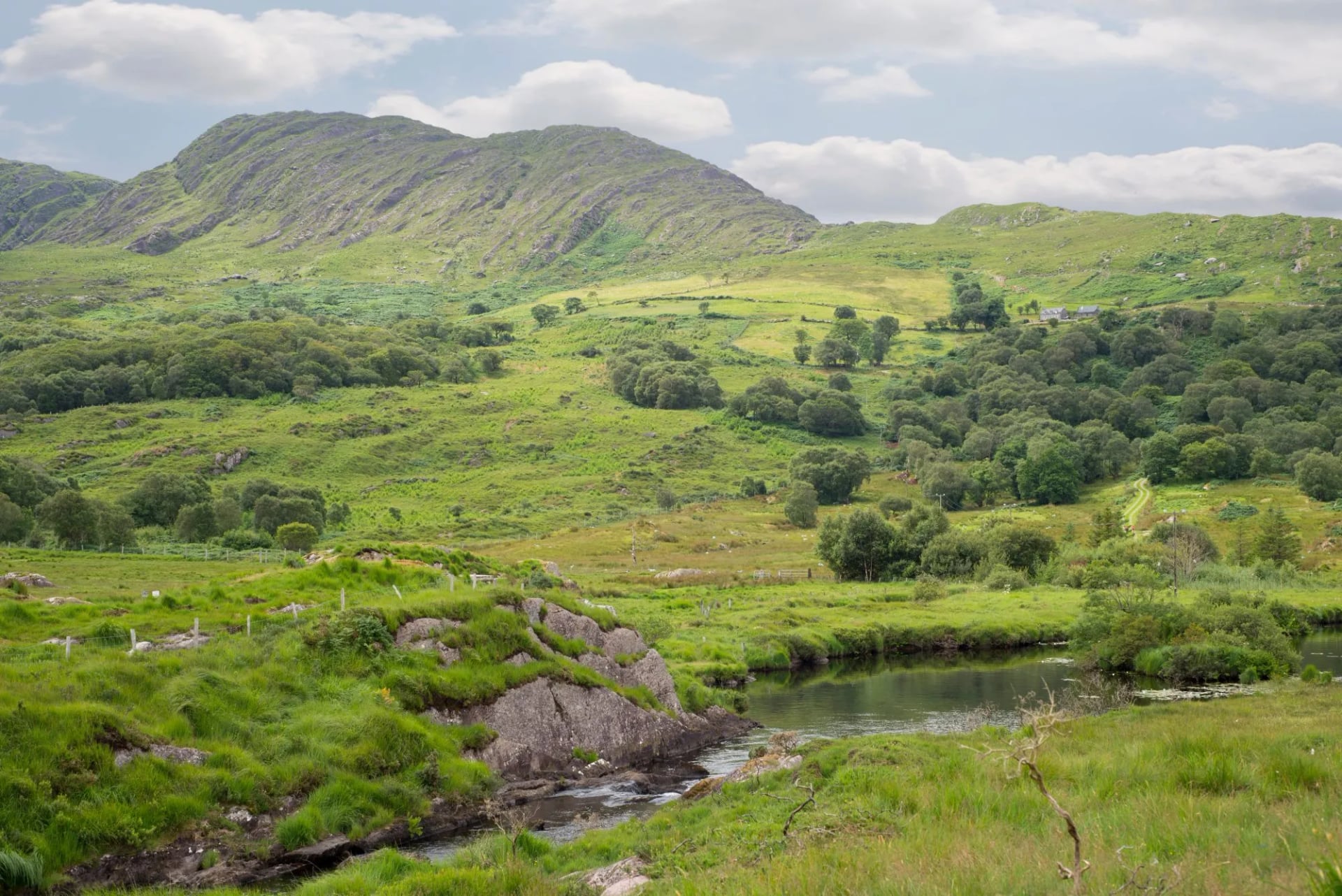
The ground is a mix of mountain track and bog path; some sections follow old famine roads. Wide, stone-laid routes built as relief work in the 1840s and now reclaimed by heather on either side. The return stages (8 and 9) are also substantial: stage 8 from Sneem to Kenmare covers 30km of mixed terrain with extended bog sections, and stage 9 follows the Old Kenmare Road, a historic high-level route with panoramic views back across the peninsula.
Our Kerry Way Highlights tour walks the trail's stages 4 to 7, numbered below as stages 1 to 4 of the tour: the southern coastal arc from Glenbeigh to Sneem, the most varied stretch of the circuit.
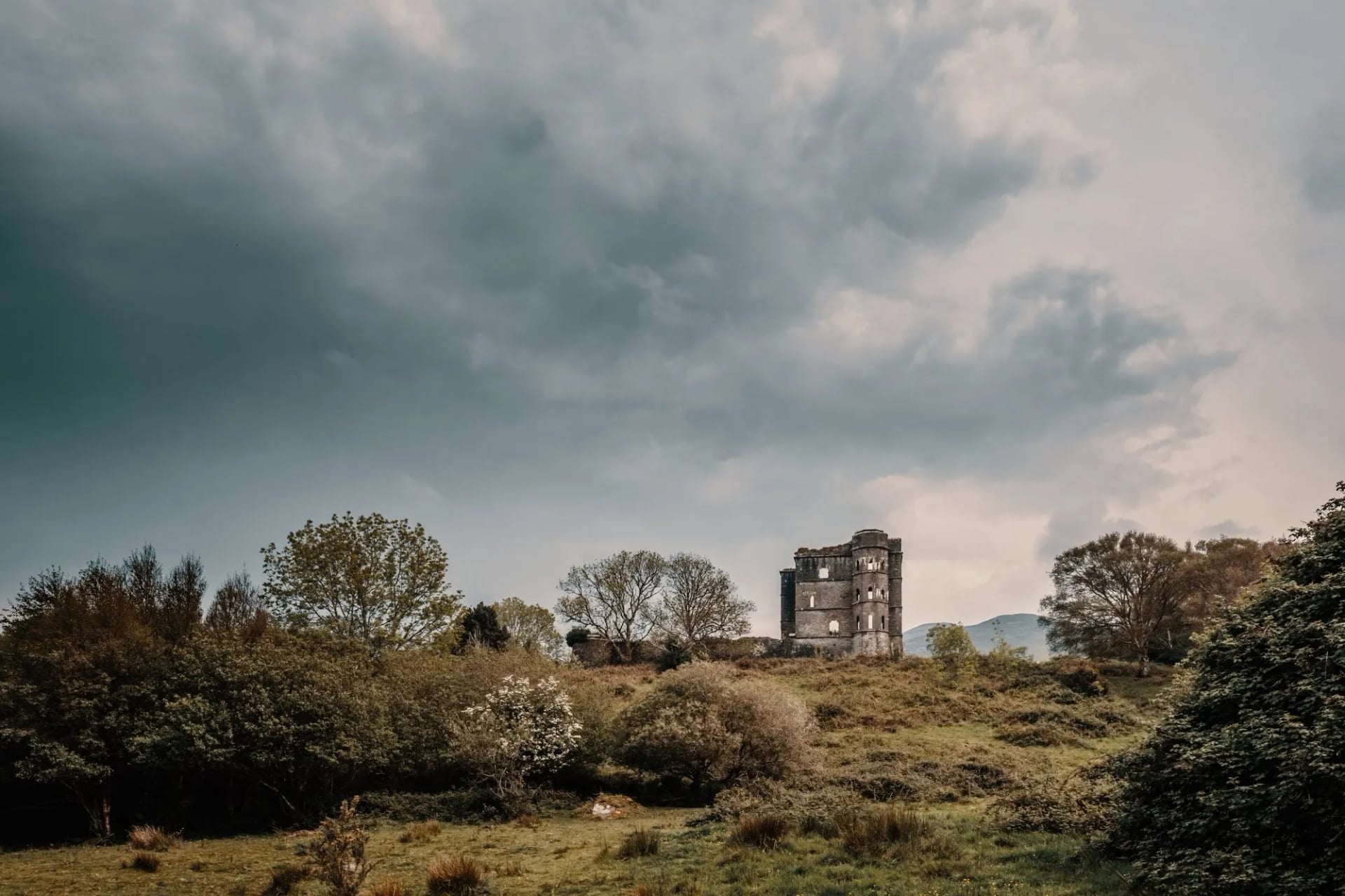
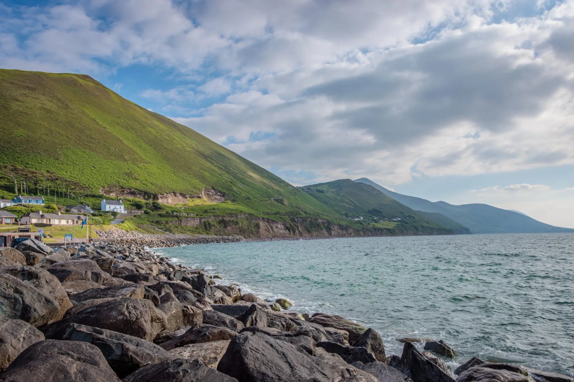
Stage 1 (28.5km): The stage begins above Rossbeigh beach, a sweeping sandbar that extends into Dingle Bay, the Dingle Peninsula visible across the water. The route heads south along the coast before cutting inland across the moorland flank of Drung Hill, with long views north over the bay and the Slieve Mish ridge. The middle section crosses a series of valley farms and quiet lanes before descending to Cahersiveen, the main market town of the Iveragh Peninsula. The ruined RIC barracks (built 1875, burned 1922) stand alongside the birthplace monument of Daniel O'Connell, the 19th-century political leader who won Catholic emancipation.
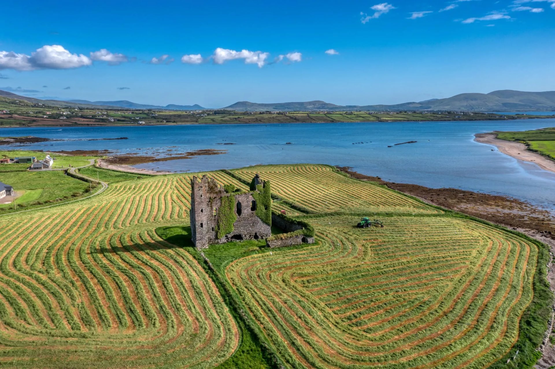
Stage 2 (29km): The longest stage on the tour and one of the most sustained. The route climbs steeply from Cahersiveen over the Beentee ridge onto open upland with sweeping views in both directions, then drops gradually toward the coast at Kells Bay. The final approach into Waterville follows the shore of Ballinskelligs Bay. Waterville is a quiet seaside village, famously the preferred holiday destination of Charlie Chaplin, who returned most summers from the 1950s onwards. Offshore, the Skellig Islands are visible on clear days: Skellig Michael, a UNESCO World Heritage Site, carries a 6th-century monastery built on a sea stack 12km from the coast, one of the most extraordinary early Christian sites in Europe.
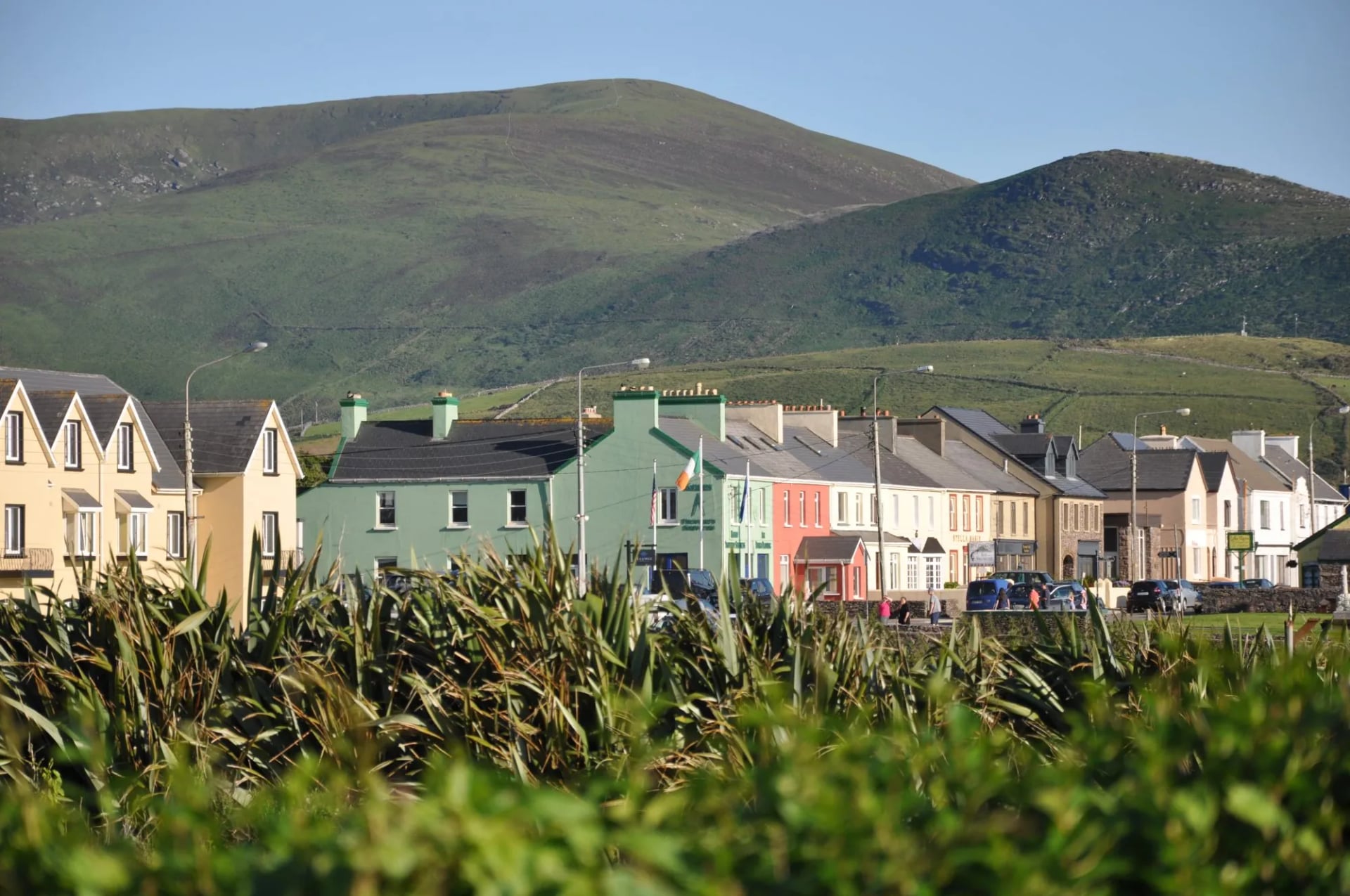
Stage 3 (11km): The short day, and deliberately so after the long stage from Cahersiveen. The route follows the shoreline of Ballinskelligs Bay to Caherdaniel, the Skellig rocks offshore to the west. Walkers with time to spare can take the inland alternative over Coomakista Pass instead, a 29-kilometre day that opens views in four directions at once: the Skelligs west, the Beara Peninsula across the Kenmare River south, Caherdaniel Bay below, and the Kerry hills north.
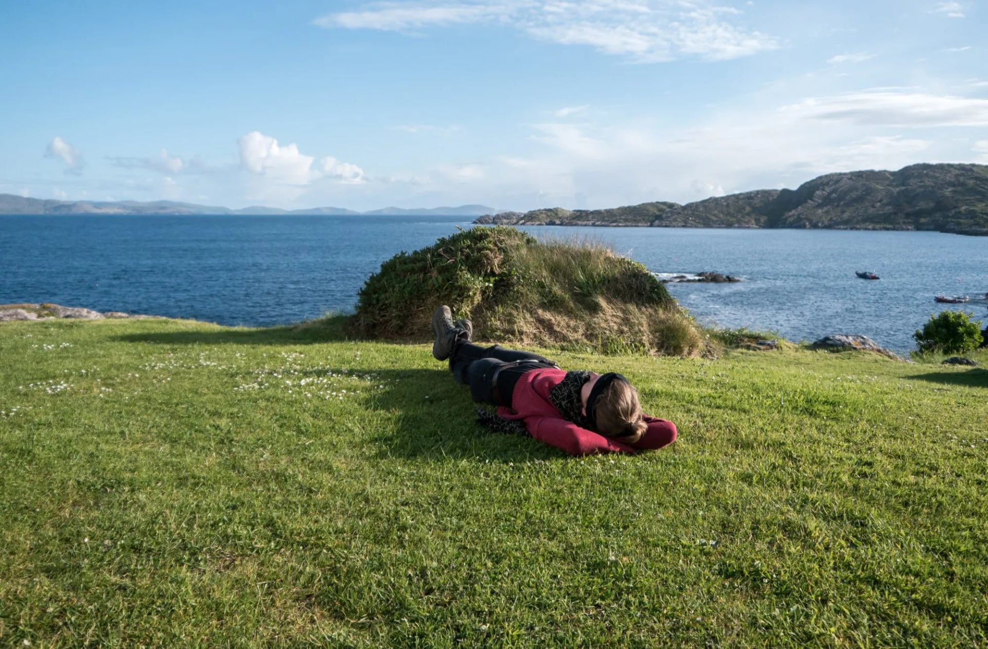
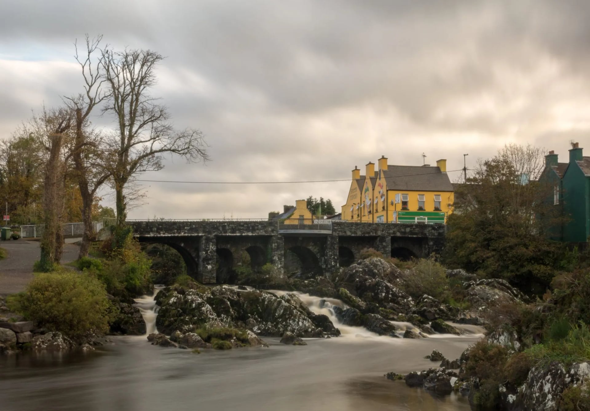
Stage 4 (17.2km): The quietest stage on the tour, and deliberately so after several demanding days. Green lanes wind through woodland, farm tracks follow the coastal ridge above the Kenmare River estuary, and the views south across the water toward the Beara Peninsula are unobstructed. The trail passes through Castlecove before the final descent into Sneem: a village on the Sneem River estuary where colourful painted houses are arranged around two triangular greens.
2. Wicklow Way
Distance: 128.1 km
Walking days: 6
Start: Marlay Park, Dublin
Counties: Dublin, Wicklow, Carlow
Route: Point to point
The Wicklow Way was the first waymarked trail in the Republic of Ireland, opened in 1980. At 128.1 kilometres, it runs between Marlay Park on the edge of Dublin's suburbs and the village of Clonegal in County Carlow, the only major Irish long-distance trail that starts within cycling distance of a capital city. Independent walkers typically complete it in six to eight stages, north to south. Our full Wicklow Way guide walks through all seven stages with distances, ascent and walking times.
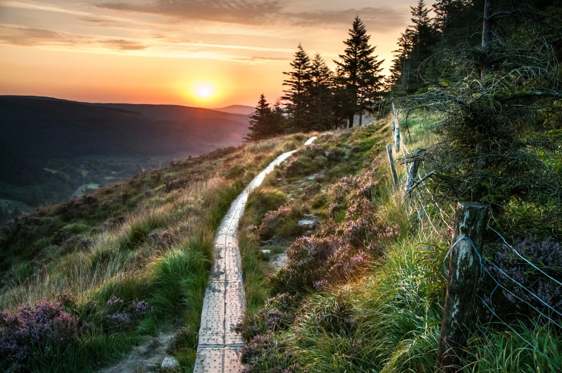
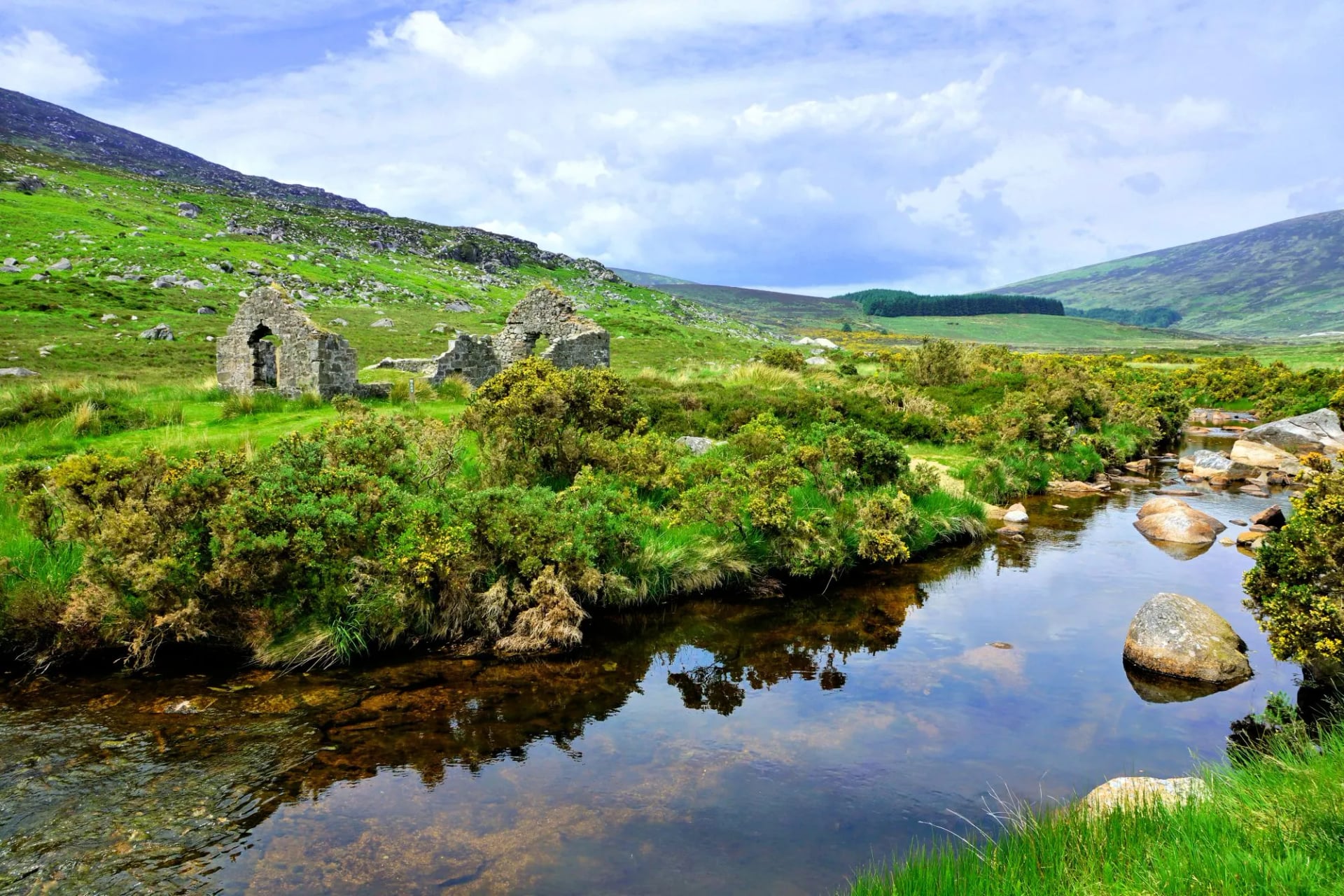
The trail is defined by contrast. The first stage out of Marlay Park climbs immediately: within two hours you're above 500 metres on the exposed crest of the Dublin Mountains, the city visible behind you and the Wicklow uplands ahead. The pattern holds through the mountain stages, up onto open moorland, across, down into a sheltered valley. The scale of the Wicklow Mountains is consistently underestimated by those who assume proximity to Dublin implies gentleness.
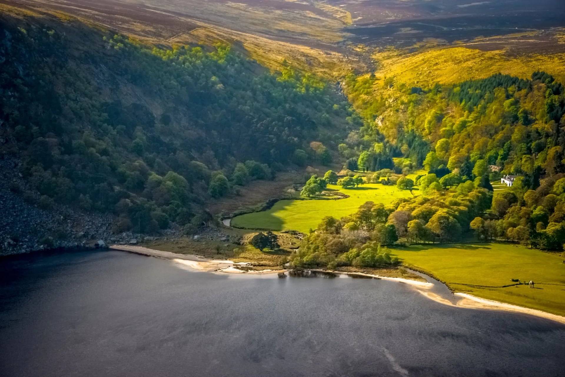
The trail's centrepiece is Glendalough, roughly midway. Founded in the 6th century by St Kevin, it is one of the most significant early medieval monastic sites in Europe. Arrive early enough and the round tower stands clear of the mist before the first coaches reach the valley floor.
South of Glendalough, the trail enters the farmland and forestry of south Wicklow. The terrain softens, road sections lengthen, and the final stages through Shillelagh and Clonegal are pleasant and undemanding. These stages have their own value: they settle the legs and decompress the mind after the mountains.
The Wicklow Way is the most public-transport-accessible long-distance trail in Ireland. St Kevin's Bus serves Glendalough and Roundwood from Dublin city; Bus Eireann route 132 connects the southern section. No car is required.
Our Wicklow Way tour covers the full trail south to north, from Clonegal to Dublin, over eight hiking stages. Walking south to north is a deliberate choice: the quieter farmland stages at the start ease you into long-distance walking.
Stage 1 (20km): The trail begins in Clonegal, a small village on the Derry River at the Carlow and Wicklow border. The route heads north through rolling agricultural land, crossing from one county into the other without any obvious drama. An easy opening stage; the mountains are still a rumour.
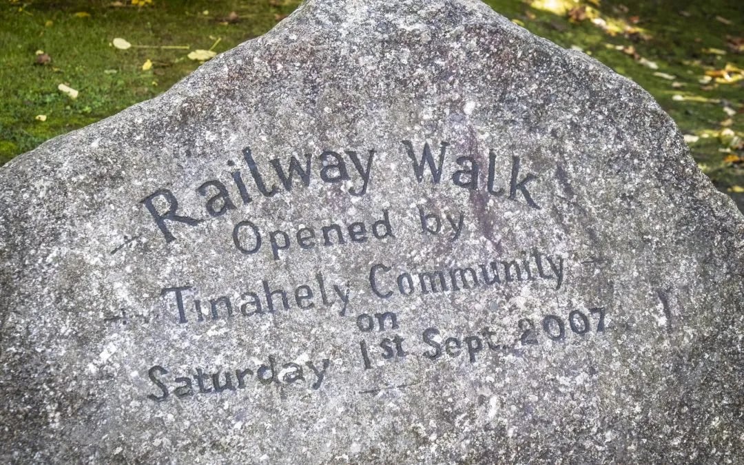
Stage 2 (18km): Quiet lanes and field paths continue north through south Wicklow. The terrain is gentle, the waymarking reliable, the villages small and functional. Tinahely is a modest market town with accommodation and food options.
Stage 3 (19km): The transition stage. The trail begins to climb and the landscape opens up. The ground underfoot changes as forestry gives way to moorland at the margins and the first views of the Wicklow uplands appear ahead. By the time the route reaches the Iron Bridge crossing of the Ow River, the mountains are no longer a rumour.
Stage 4 (14km): The trail climbs from the Iron Bridge into the Wicklow Mountains proper and descends into Glenmalure, one of Ireland's longest and deepest glacial valleys, almost entirely enclosed by steep mountain walls. There is no road through the upper valley. The hostel on the valley floor has no mobile signal.
Stage 5 (14km): The strongest stage on the trail. The route climbs steeply out of Glenmalure on rough track, gains the high moorland above 700 metres, and crosses open ground before the descent into Glendalough. Approaching from the ridge above on a clear morning, the two glacial lakes appear below first, then the round tower, then the stone churches fanning out across the valley floor.
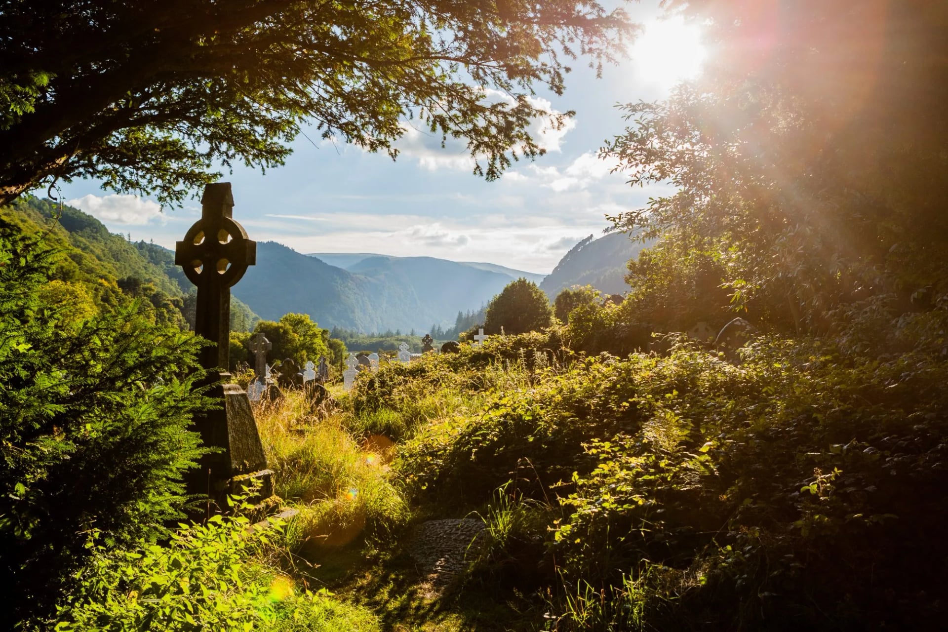
Stage 6 (13km): A shorter stage, allowing time to spend at Glendalough before or after walking. The route follows the valley floor and climbs gradually onto the Wicklow uplands. Roundwood is commonly cited as the highest village in Ireland and has accommodation and facilities. It is the last proper town before the Dublin Mountains.
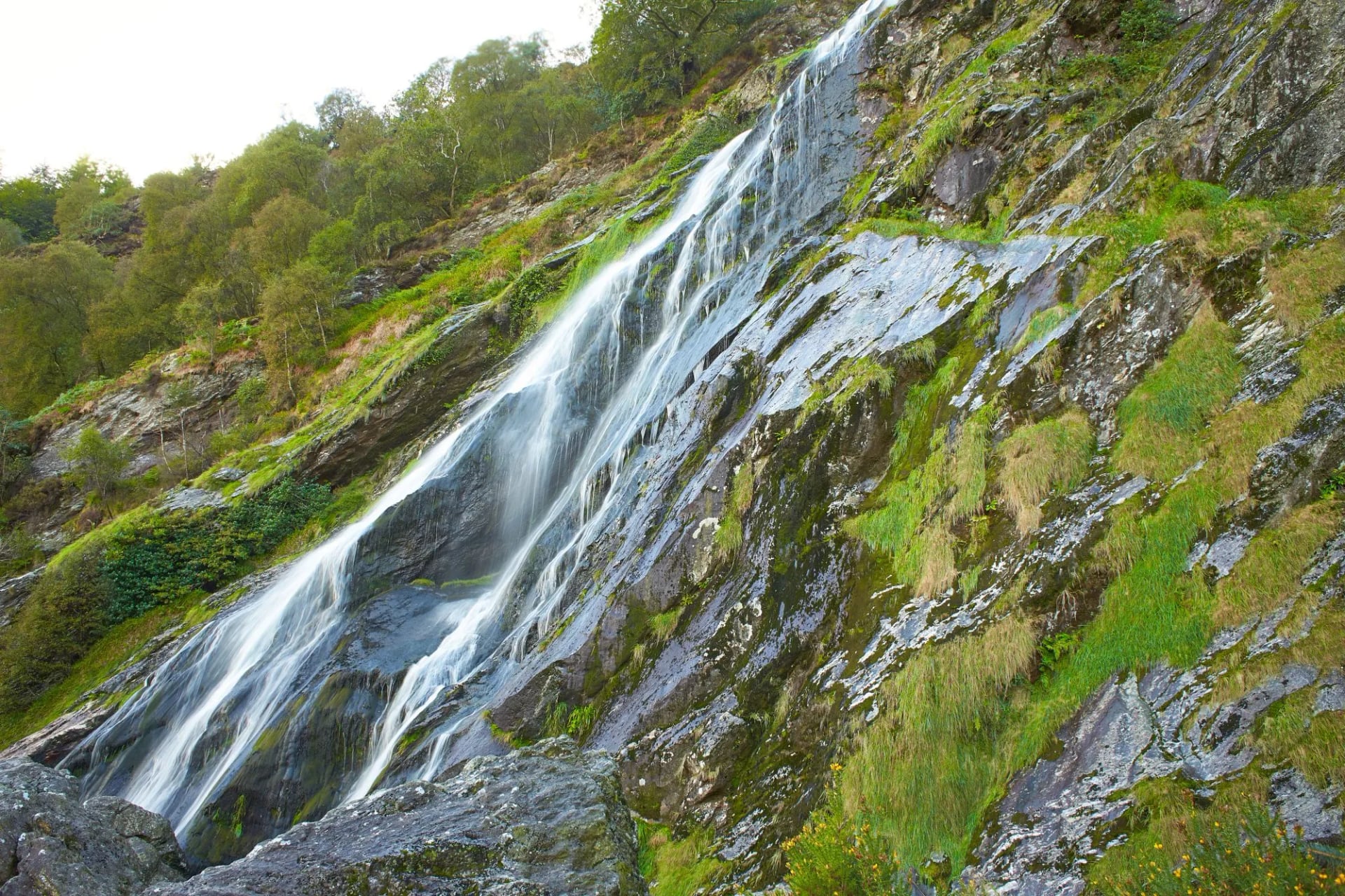
Stage 7 (21km): The longest stage in the northern section. The route climbs onto Calary Bog and crosses open moorland along the southern edge of the Dublin Mountains. Powerscourt Waterfall is a short detour from the trail, audible from the path before it's visible. Dublin begins to appear on the northern horizon as a haze of light and density, while the trail itself stays on open ground until the final kilometres.
Stage 8 (20.5km): The finale. The trail drops through the Dargle Valley and passes through Glencree, where a former British military barracks now operates as a centre for peace and reconciliation. The route climbs over Two Rock Mountain with panoramic views south across the full range of mountains walked over the past week, before the descent into Rathfarnham: suburban rooflines and garden hedges appearing, the trail widening, road noise returning. Marlay Park, where the trail ends, is 30 minutes by bus to Dublin city centre.
3. Dingle Way
Distance: 162.9 km
Walking days: 7
Start: Tralee
Counties: Kerry
Route: Circular
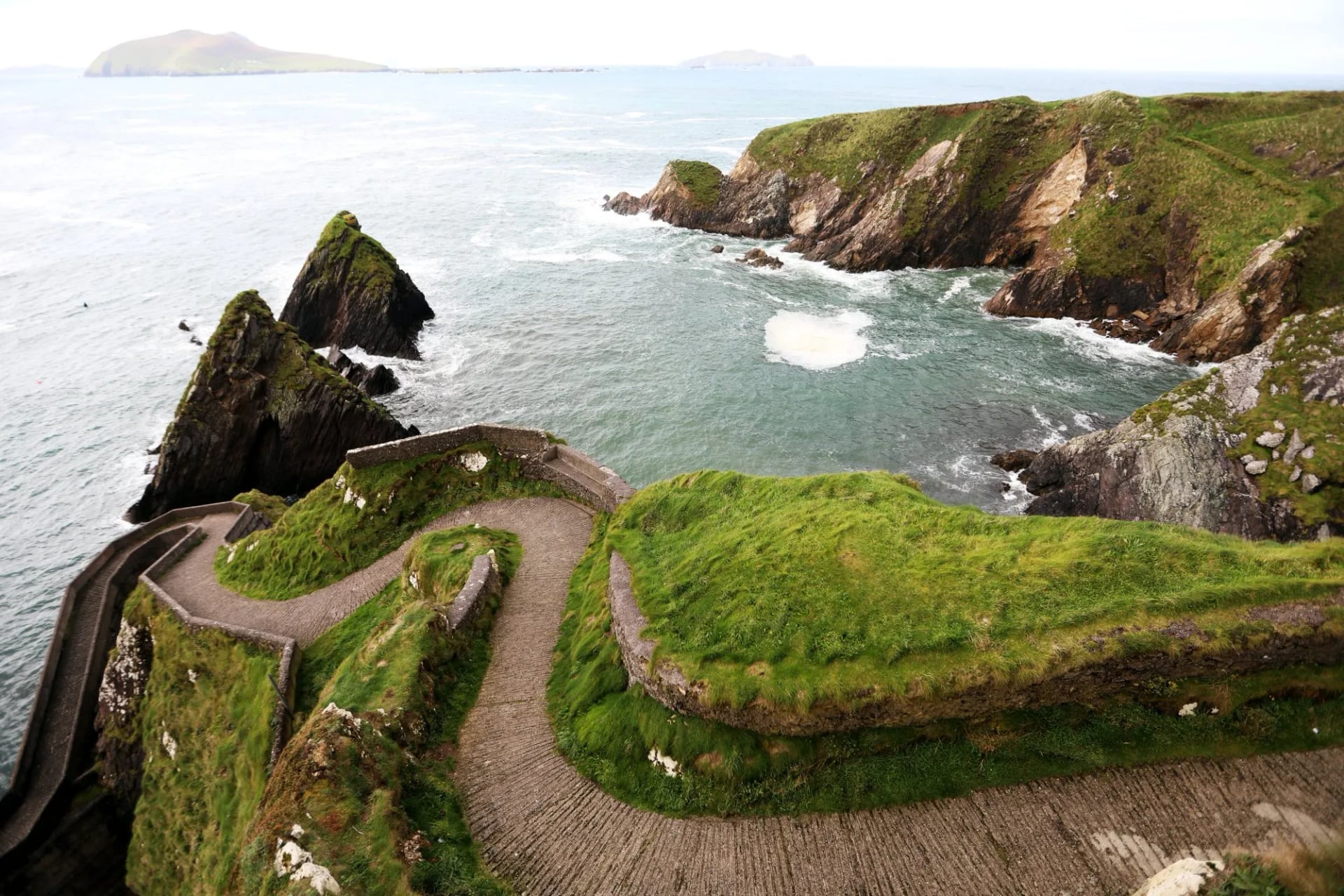
The Dingle Way is a 162.9-kilometre circular trail around the Dingle Peninsula, beginning and ending in Tralee. Sport Ireland puts it at seven days; our own itinerary splits it into eight stages. It is the most dramatically coastal of Ireland's waymarked trails.
The trail moves through a landscape that has been continuously settled for over 5,000 years. Bronze Age promontory forts, beehive huts (clochans), early Christian oratories, and Ogham stones appear throughout, most densely in the western headlands between Dunquin and Ballyferriter.
The circuit has a clear structure. The first three stages follow the southern coast of the peninsula, building from gentle lowland walking near Tralee to the full Atlantic drama at Dingle. The western stages cross the most archaeologically dense ground in Ireland and the most exposed coastal terrain.
Stage 6, crossing Brandon Mountain, is the physical centrepiece: the highest and hardest day, followed by the northern coastal descent back toward Tralee. The western stages (4 to 6) carry the archaeology, but the mountain crossing is the day walkers talk about longest.
Accommodation throughout is guesthouses and B&Bs; there are no mountain huts. Dingle town is the natural rest-day base, with the strongest concentration of restaurants and accommodation on the circuit.
Our Ultimate Dingle Way Hike covers the full circuit over eight stages, beginning and ending in Tralee.
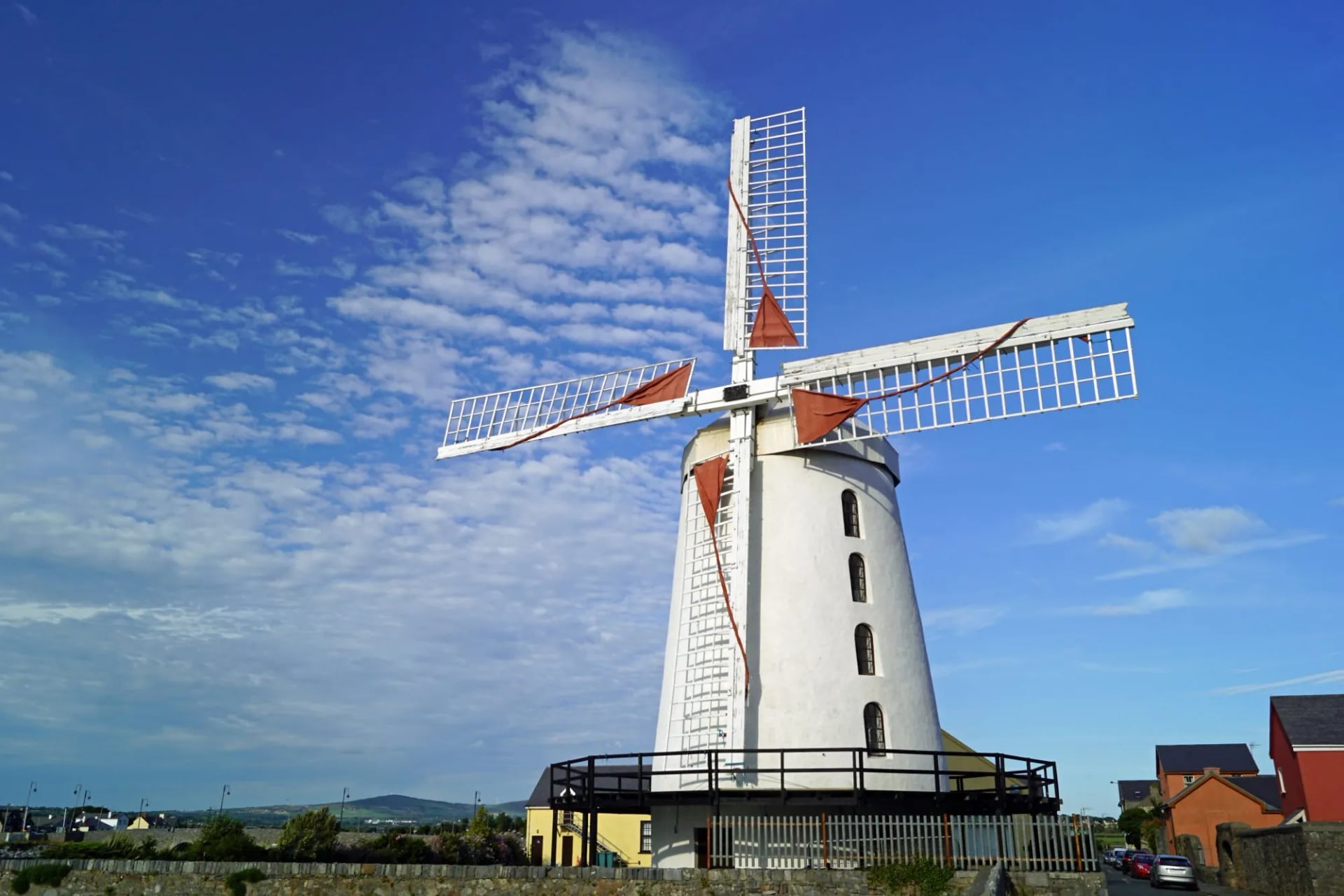
Stage 1 (16.5km): The circuit begins in Tralee and passes through Blennerville, home of a restored windmill, the largest working windmill in Ireland, which processed grain for export during the famine years. The route climbs the lower slopes of the Slieve Mish Mountains as Tralee Bay opens below; Camp is a small village where the bay meets the foothills.
Stage 2 (19.5km): The trail follows the ridge and foothills of the Slieve Mish range, crossing rivers and passing through green valley lanes before descending to Annascaul. The village is the birthplace of Tom Crean, the Kerry-born Antarctic explorer who survived three expeditions and received the Albert Medal for saving his companions' lives on the ice.
Stage 3 (22km): The route descends from the hills to Inch Beach, a 5-kilometre sand spit extending into Dingle Bay, with views across the water to the MacGillycuddy's Reeks, before following the south coast of the peninsula into Dingle. The town has a fishing harbour, live music sessions in most pubs most evenings, and a reputation for seafood disproportionate to its size. Most walkers take a rest day here; the town's concentration of accommodation and restaurants makes it the natural stop.
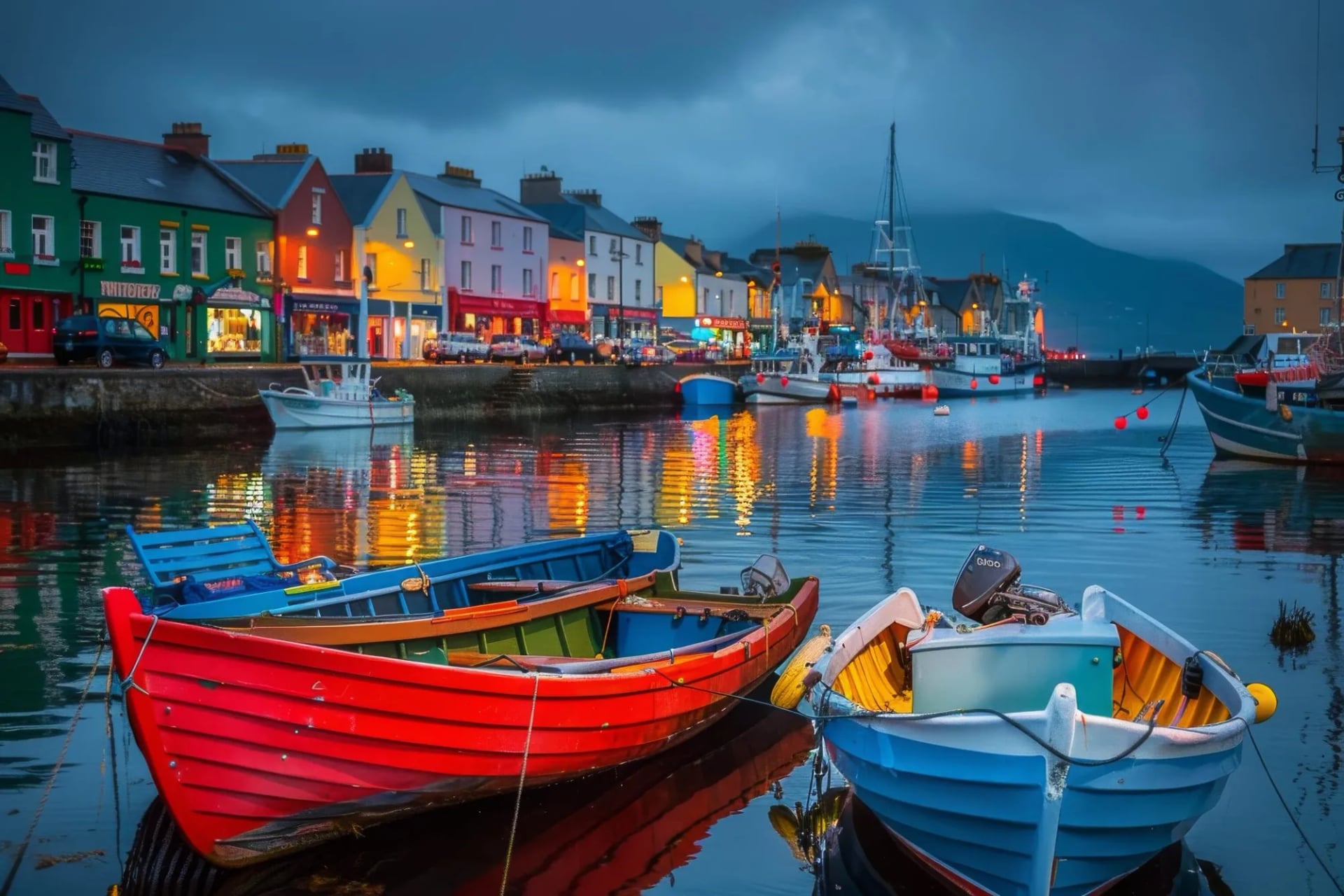
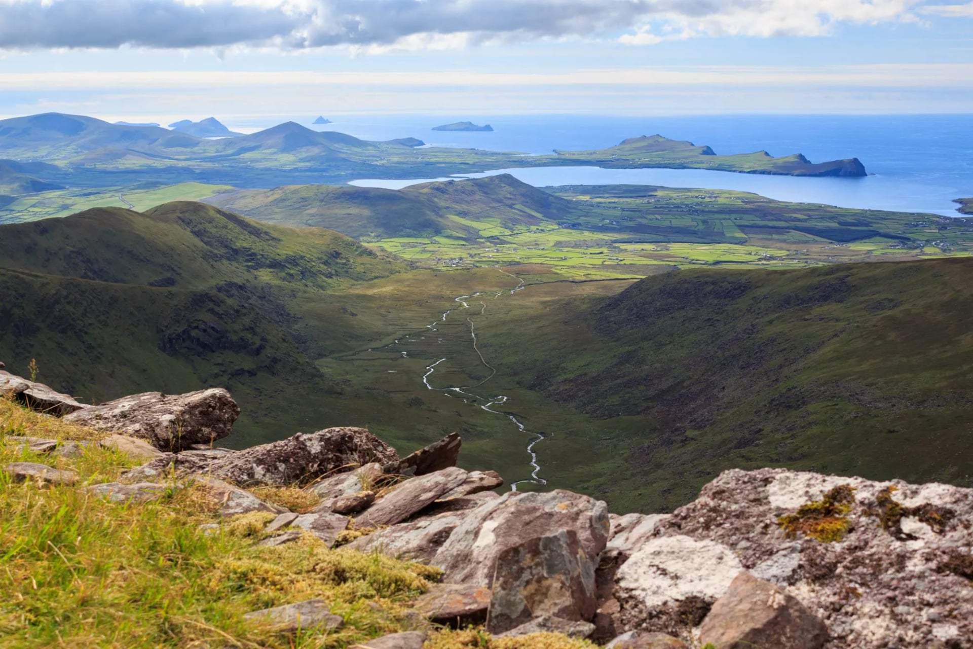
Stage 4 (25km): The most dramatic stage on the circuit. The route climbs from Dingle through Ventry village and its beach before reaching the coastal headland. The descent into Dunquin, the most westerly inhabited village in Ireland, is steep and rocky in places. The Blasket Island ferry pier is below the village.
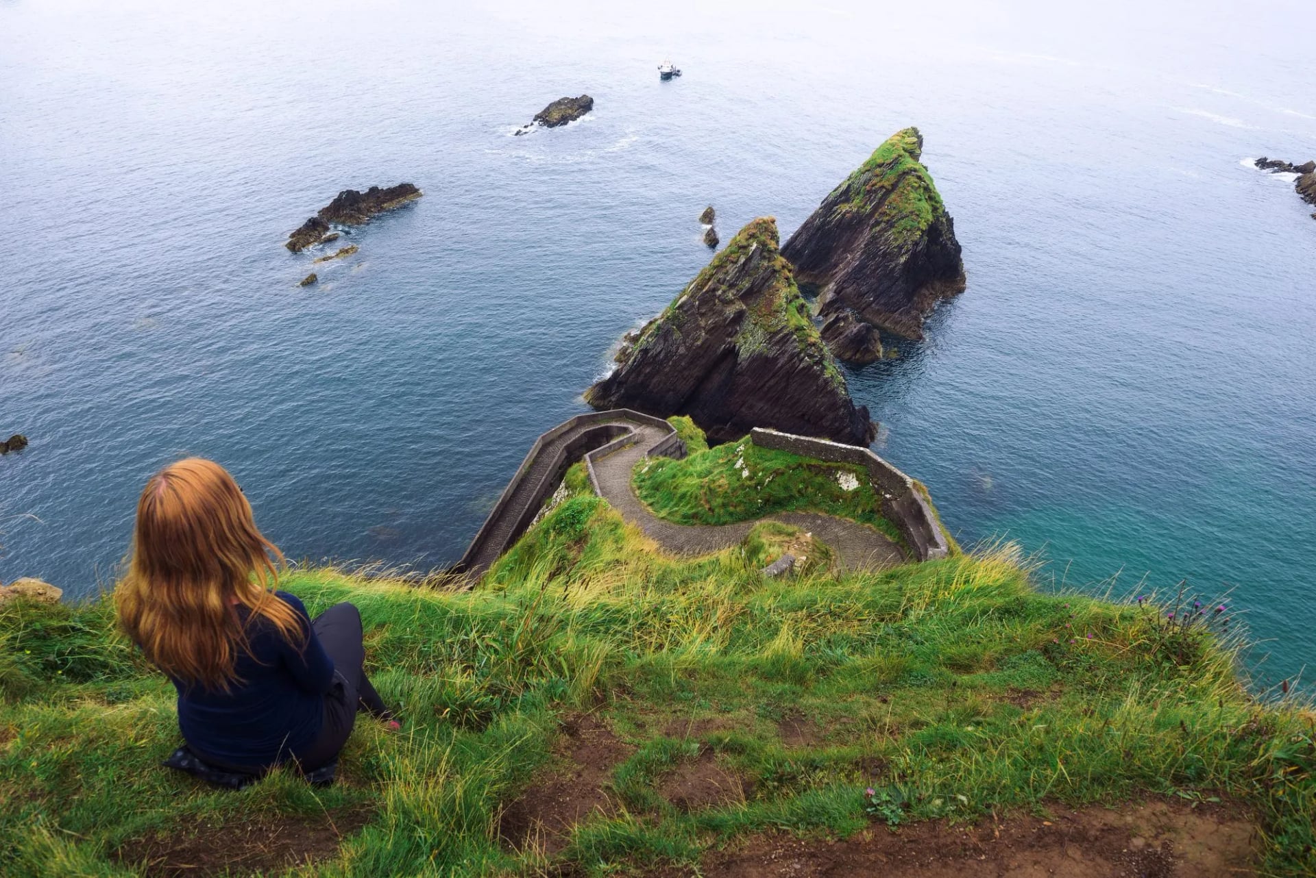
Stage 5 (20km): The headlands between Dunquin and Ballyferriter hold the peninsula's densest concentration of promontory forts and early Christian clochans, the stone beehive structures that appear so frequently they stop being remarkable until you remember you're looking at 1,400-year-old buildings. The trail runs above Atlantic cliffs with little natural shelter; wind is a constant on this section.
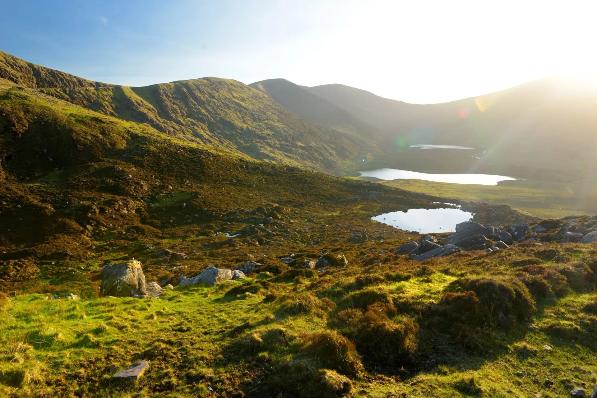
Stage 6 (28km): The hardest stage on the circuit and the most memorable. The route climbs over the southern flank of the Brandon Mountain massif, gaining 1,200 metres of elevation. Brandon Mountain is the highest peak in Ireland outside the MacGillycuddy's Reeks; on a clear day the summit commands views from the Aran Islands to the north to the Skellig rocks to the south. The trail passes near Saint Brendan's Oratory, a small early medieval stone structure, on ground that can carry snow well into April.
Stage 7 (27km): After the Brandon crossing, this is the easiest stage. A long coastal walk around Brandon Bay with virtually no elevation. The Maharees, a narrow tombolo jutting into Tralee Bay, is visible to the north. Castlegregory looks back across the bay to the Slieve Mish ridge from Stage 1, the circuit closing visually before it closes geographically.
Stage 8 (28km): The final stage follows Tralee Bay back to the starting town, passing the long strands of Barrow and Banna. Banna Strand is where Roger Casement came ashore from a German submarine in April 1916, days before the Easter Rising. The countryside shifts from coastal heath to lowland farmland as Tralee approaches.
4. Beara Way
Distance: 241.8 km
Walking days: 9
Start: Glengarriff
Counties: Cork, Kerry
Route: Circular
The Beara Way is 241.8 kilometres, circular, around the Beara Peninsula in Counties Cork and Kerry. Of the five routes covered here, it is the least crowded and the least promoted, and the most consistently described as remarkable by people who walk it. Nine days is the recommended minimum.
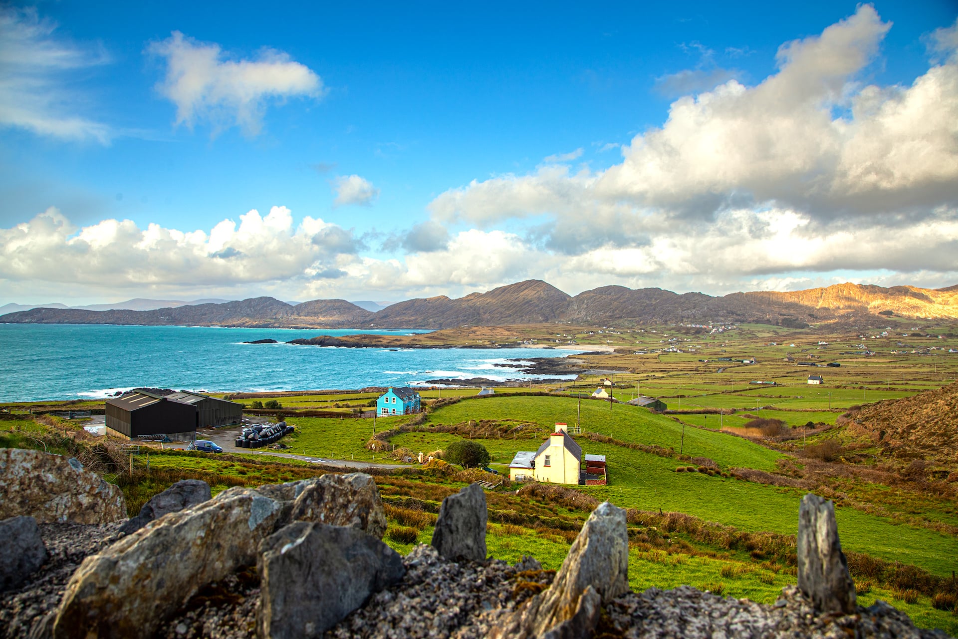
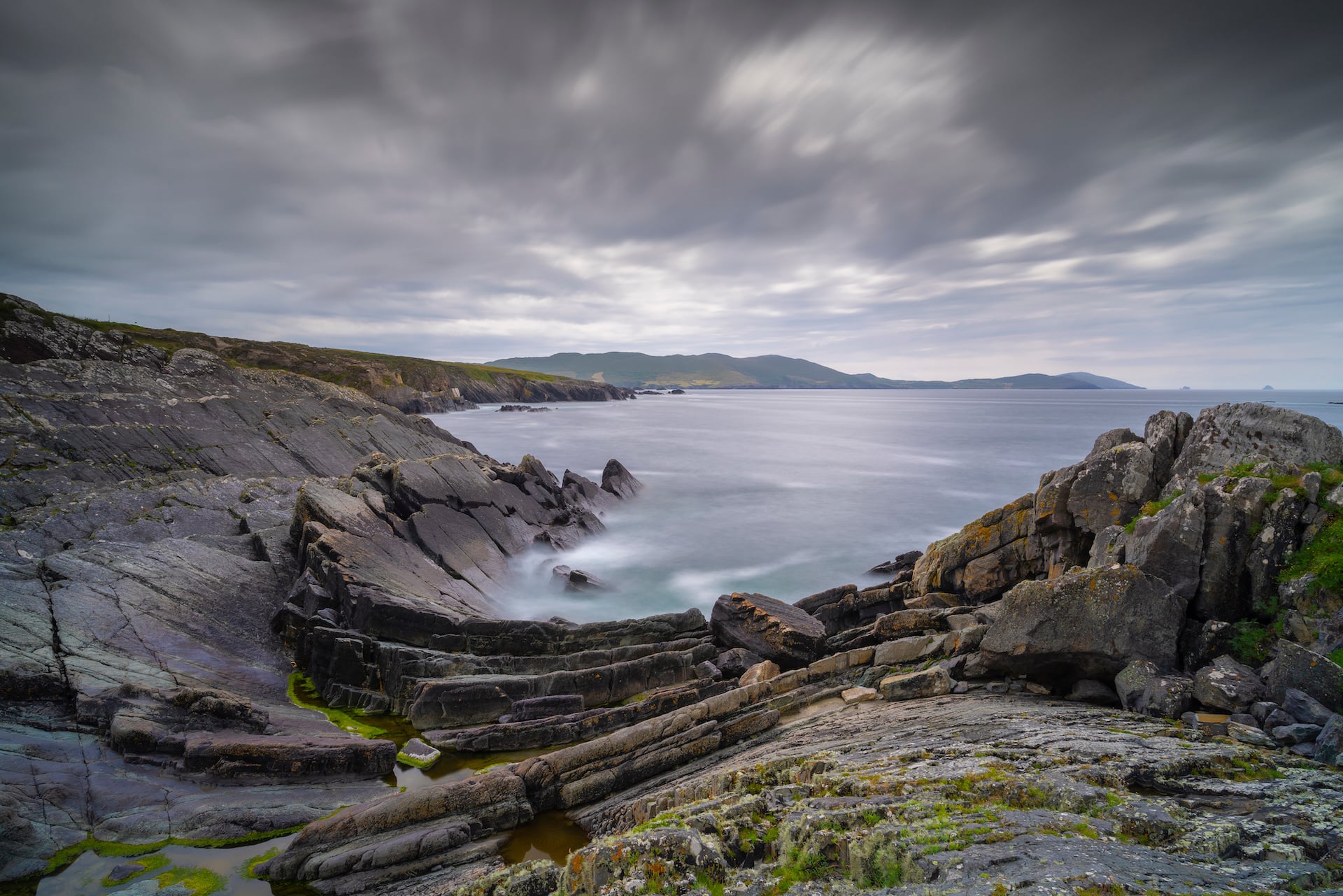
The Beara Peninsula is narrower and more rugged than the Iveragh or Dingle peninsulas. The trail crosses the Caha and Miskish mountains through the spine of the peninsula before dropping to the Atlantic coastline. An optional spur runs out to Dursey Island, reached by a small cable car gondola that crosses open seawater at the tip of the peninsula and is the only crossing of its kind in Ireland.
The main route passes through a sequence of small coastal villages (Adrigole, Castletownbere, Allihies, Eyeries, Ardgroom) spaced a few hours apart. The copper-mining history of the western end of the peninsula is visible in the ochre-streaked hillsides above Allihies.
The route starts and finishes in Glengarriff, a village at the head of Bantry Bay with a mild microclimate produced by the Gulf Stream. Palms and subtropical species grow in the sheltered gardens, and Garinish Island (accessible by boat from the village) is a formal garden of international reputation, planted with species from South America, the Himalayas, and the Mediterranean that could not survive elsewhere on this latitude.
The trail around the inland side of the peninsula crosses ground that sees relatively little foot traffic, making navigation more demanding than on the Kerry Way or Wicklow Way. Waymarking is present but not dense in all sections.
The Beara Way rewards walkers prepared to earn their miles. It does not have the name recognition of its Kerry neighbours, which means the accommodation is less strained in peak season and the trail itself is often empty on sections where the Kerry Way would have a steady flow of walkers.
5. Cliffs of Moher
Distance: 52.5 km
Walking days: 3
Start: Liscannor
Counties: Clare
Route: Point to point
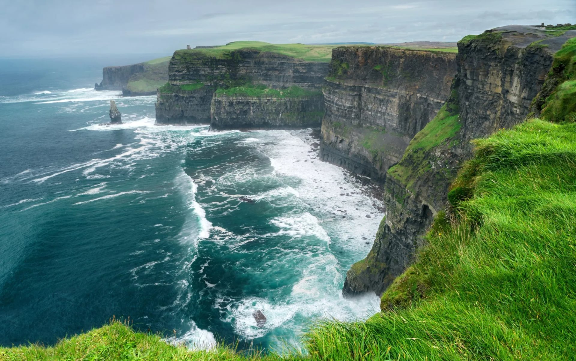
County Clare offers a fundamentally different walking environment from the Kerry and Wicklow peninsulas. This is not a long-distance circular route. It is a point-to-point walk from Liscannor to Ballyvaughan, three stages across Ireland's most visited natural site and one of its most geologically unusual landscapes.
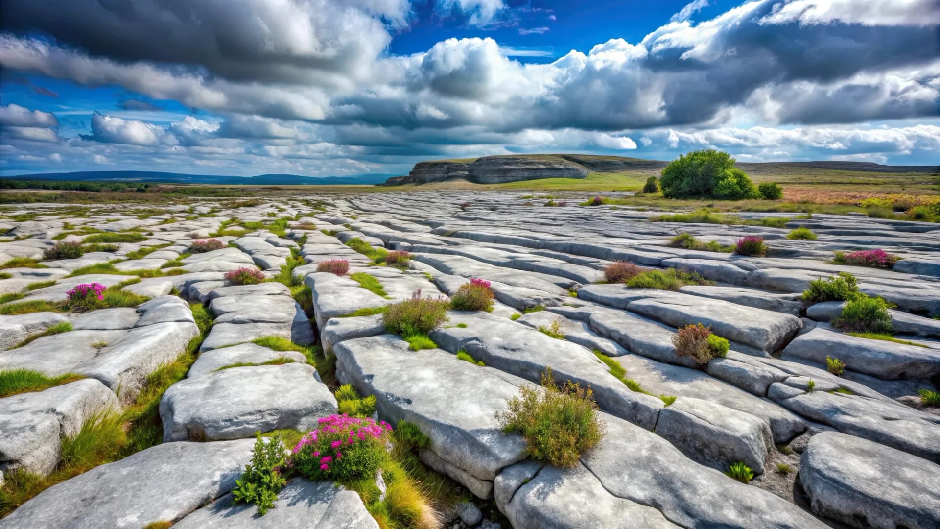
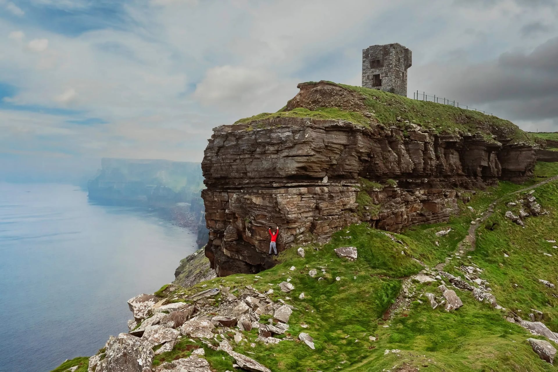
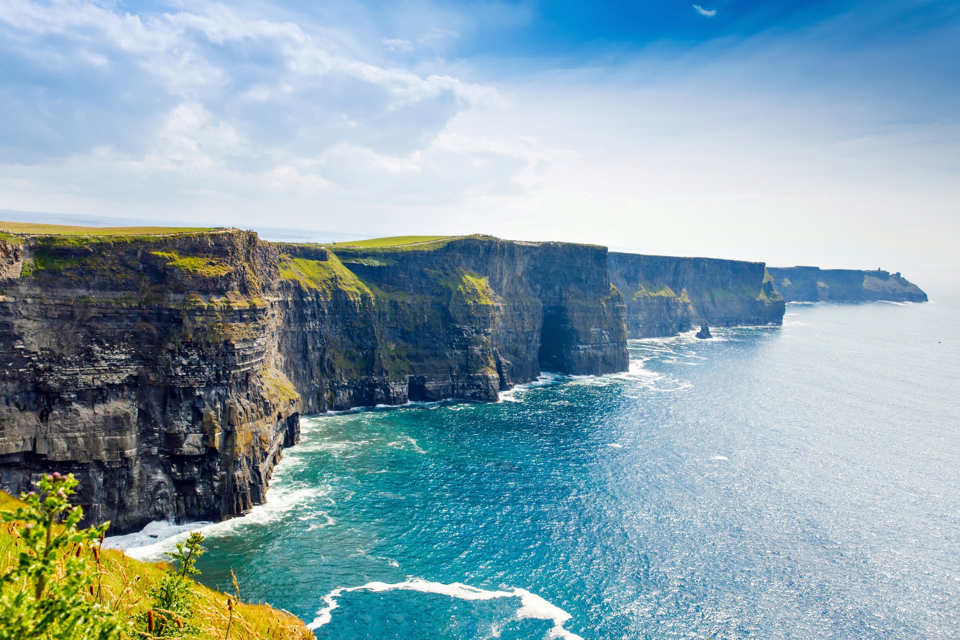
The Cliffs of Moher run for about 14 kilometres along the Clare coastline, rising to 214 metres at their highest point just north of O'Brien's Tower. The cliff path runs above open Atlantic water the entire length of the cliffs, with the Aran Islands visible directly offshore on clear days. Inland from the cliff line, the Burren covers approximately 530 square kilometres of exposed limestone pavement.
Cracks in the rock (grikes) shelter an improbable mixture of arctic, alpine, and Mediterranean plants that coexist here because of the mild coastal climate and calcium-rich substrate; in May and June, wildflowers emerge from the stone in concentrations found nowhere else in Ireland.
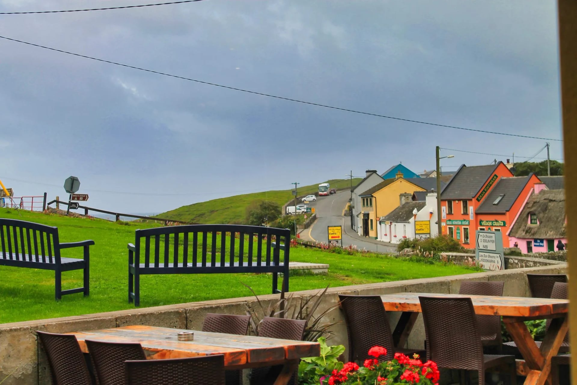
Doolin, mid-route, has a reputation in traditional Irish music entirely out of proportion to its size. The sessions in its pubs are among the most consistent in the country.
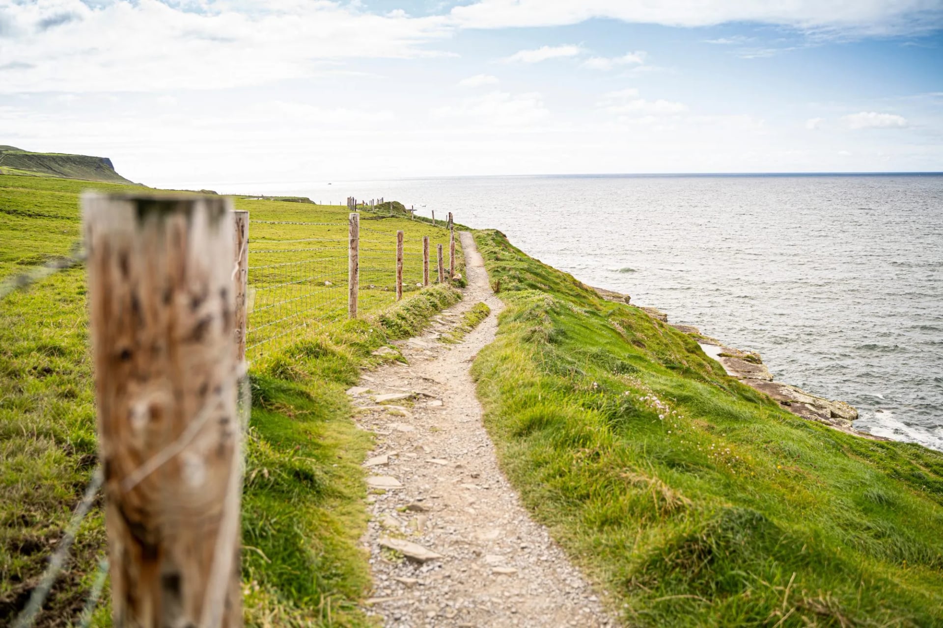
The walking is shorter and more accessible than the Kerry or Dingle routes: three stages of 14.5 to 19.5km, with 260 to 360m of ascent. A good option for a first multi-day walk in Ireland, or as a companion trip to one of the longer peninsular routes. Season runs March to October.
Stage 1 (18.5km): The stage heads north from Liscannor along the coastal path before reaching the cliff line. The walk along the top of the Cliffs of Moher continues for much of the stage. The path runs along the cliff edge for several kilometres, the sea dropping vertically below and the Aran Islands visible to the north on clear days. The descent into Doolin brings the terrain back to sea level; the village has several pubs with live traditional music most evenings.
Stage 2 (19.5km): The route climbs from Doolin onto the Burren plateau, the limestone pavement opening out in every direction, before dropping to the coast at Fanore. Castle ruins and ancient field systems appear across the plateau without signage or fanfare. This landscape has been inhabited since the Neolithic and the evidence sits on the surface.
Stage 3 (14.5km): The final stage follows the distinctive limestone terrain of the central Burren, tracking the Rathborney River valley toward Ballyvaughan. Newtown Castle, a 15th-century tower house restored in the 1990s, stands at the edge of the village. Ballyvaughan sits on the southern shore of Galway Bay, looking north across the water toward Connemara.
Which Trail Is Right for You?
The Cliffs of Moher route is the most accessible: shorter stages, lower elevation, and a landscape that rewards walkers at every fitness level. The Wicklow Way is the natural first choice for those new to Irish long-distance walking as it has the most consistent waymarking, the easiest public transport access, and a clear centrepiece in Glendalough. The Kerry Way is Ireland's fullest trail: nine stages covering mountain, coast, and pastoral farmland across the most varied terrain in the country. The Dingle Way delivers the Atlantic coast at its most dramatic, with the archaeology and Blasket Islands adding a layer the other peninsular trails don't match. The Beara Way is for those who want the quietest trail, less promoted, less crowded, and more demanding in navigation terms than the others.
What Irish Trails Are Like
Terrain and Bog
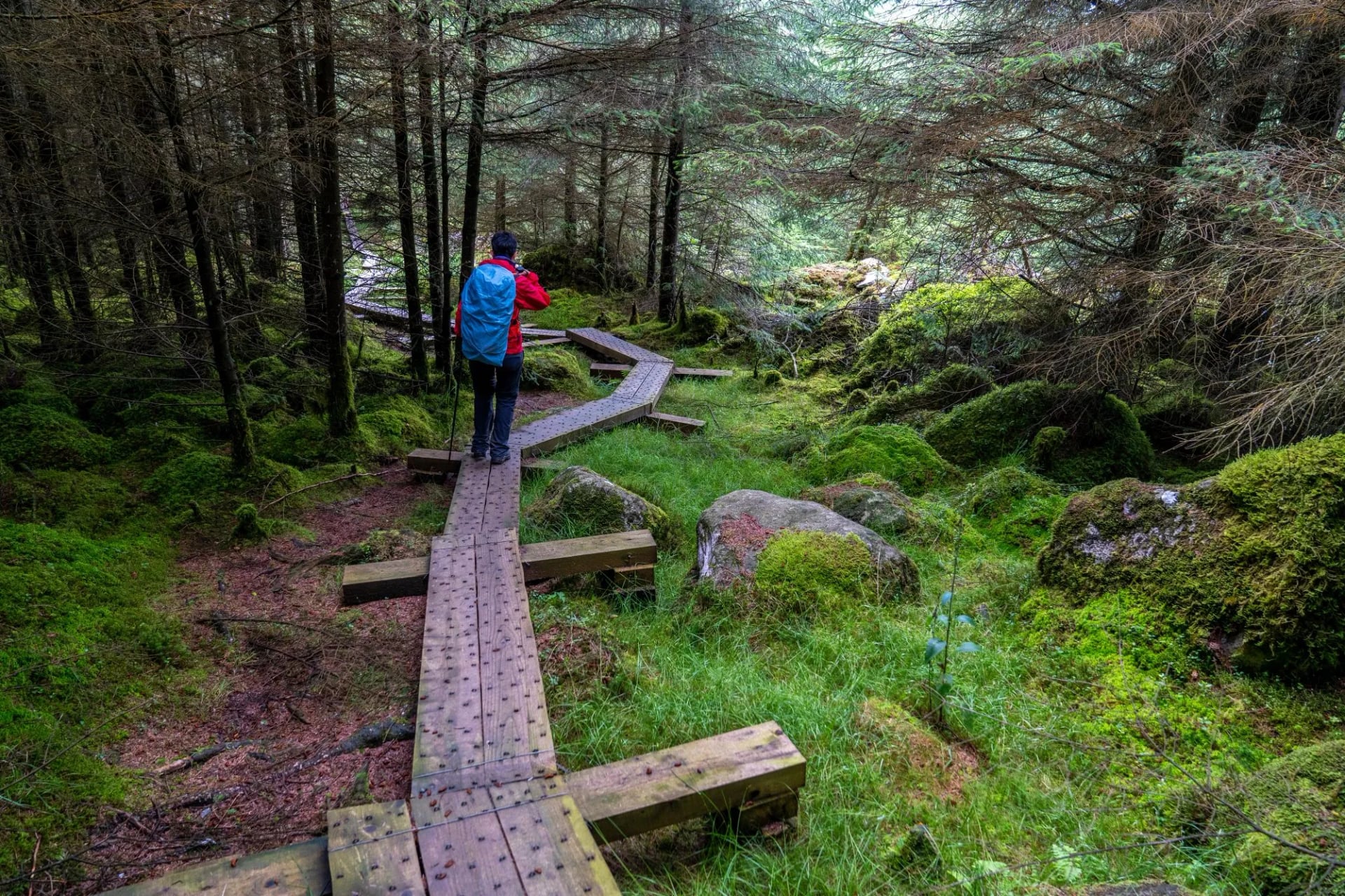
Irish trail terrain is a category of its own. Unlike the maintained mountain paths of the Alps or the established singletrack of Scandinavia, much of the Irish upland trail network runs across blanket bog. In dry conditions, bog walking is merely slow and springy underfoot. After a day of rain, a frequent occurrence, it is wet, heavy going, and occasionally ankle-deep. Waterproof boots are not a preference; they are a requirement.
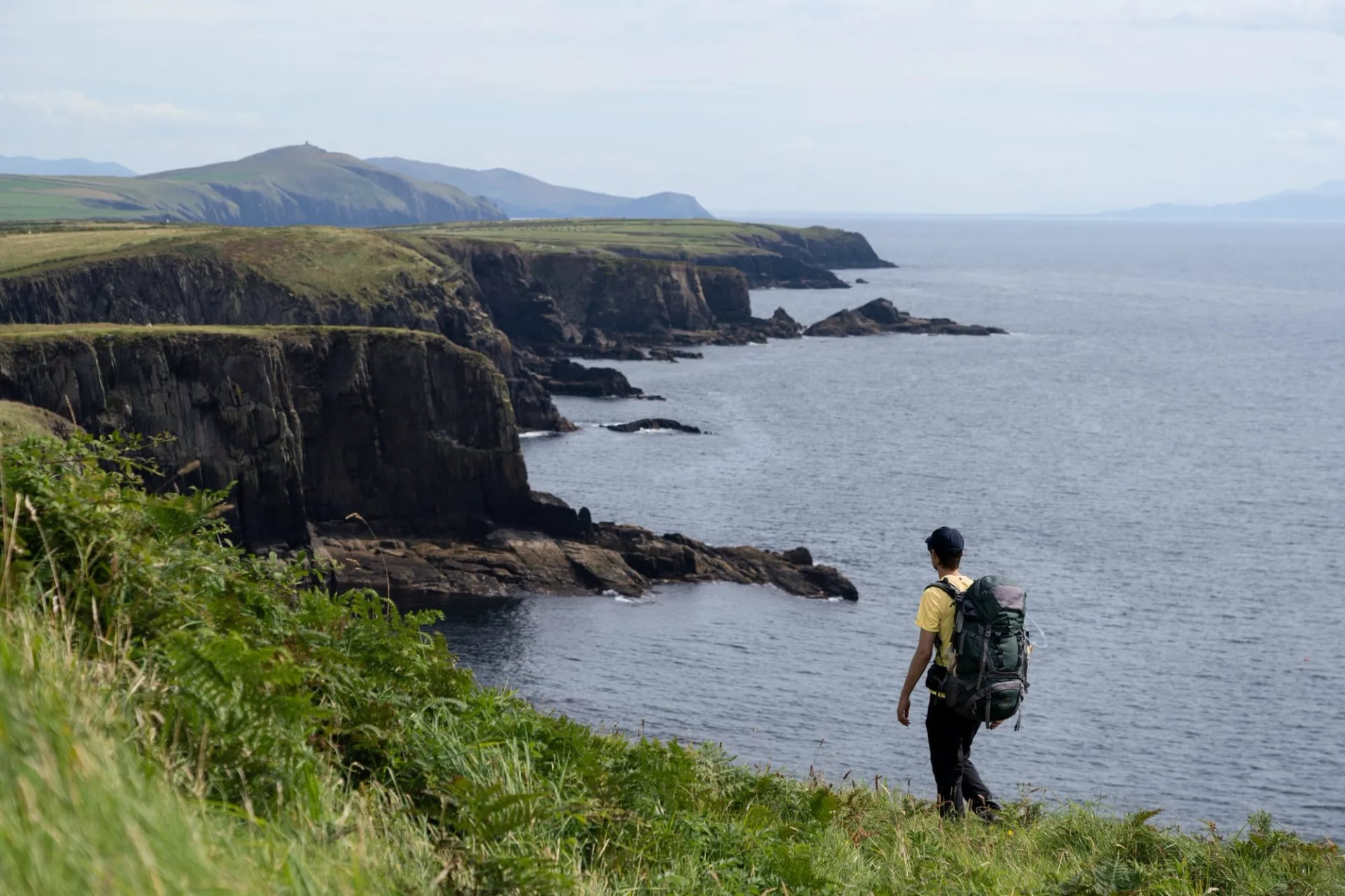
Bog sections tend to be worst on the high ground in Kerry and Cork. The Wicklow Way has fewer boggy sections than the Kerry or Dingle trails as the granite uplands drain more quickly than blanket peat. The southern farmland stages are field paths and forestry tracks rather than open bog. The Dingle Way cliff paths and headland sections are firmer; the worst of its bog is on the high inland stages near Brandon.
On open mountain, you may find yourself following sheep tracks across terrain where the waymarked trail has been eroded or where the ground is saturated enough that the marked route is impassable. This is normal in Ireland and is not a sign that you are lost. It is a feature of walking in a country with 1,200 to 2,500mm of annual rainfall on the uplands. Lightweight walking poles help enormously in bog terrain, both for balance and for probing soft ground.
Waymarking and Navigation
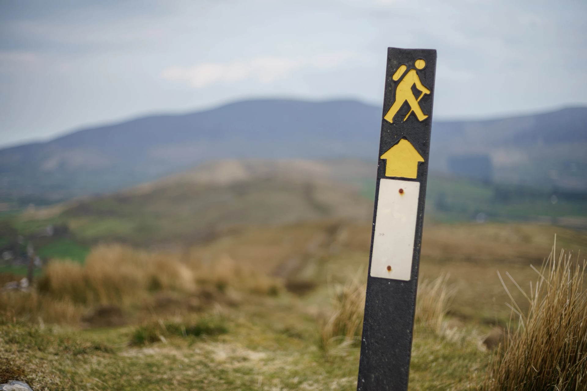
Ireland's long-distance trails are designated National Waymarked Ways, administered through Sport Ireland's National Trails Office. They are marked with square black posts bearing a yellow walking-man symbol and a directional arrow. The marker is consistent once you know it; the difficulty is that spacing between markers can be significant on open mountain sections, and in poor visibility they can be hard to locate.
Below the moorline and on lane sections, waymarking is usually sufficient to navigate without a map. On exposed upland ground it is not: the Black Valley stages on the Kerry Way, the high sections of the Dingle Way near Brandon, and the Caha mountains on the Beara Way all run between widely spaced markers. The single most common cause of mountain incidents in Ireland is walkers leaving the waymarked system and attempting to navigate open ground without map and compass skills, and a GPS app does not replace that when the battery dies.
Specific caution zones:
The Black Valley approach on the Kerry Way: mist descends rapidly and the path becomes less distinct on the high ground
The Brandon area on the Dingle Way: cloud cover can settle for hours at a time
Any section above 600m on the Beara Way: waymarking is less dense than on the Kerry Way
Weather on the Trail
Ireland's weather is generated primarily by Atlantic low-pressure systems tracking northeast from the tropics. The forecasting window is short, 24-hour forecasts are relatively reliable, 48-hour forecasts less so, and anything beyond three days should be treated as indicative only. Met Eireann is the primary weather service; check the mountain forecast, not just the general regional forecast, when planning high-ground stages.
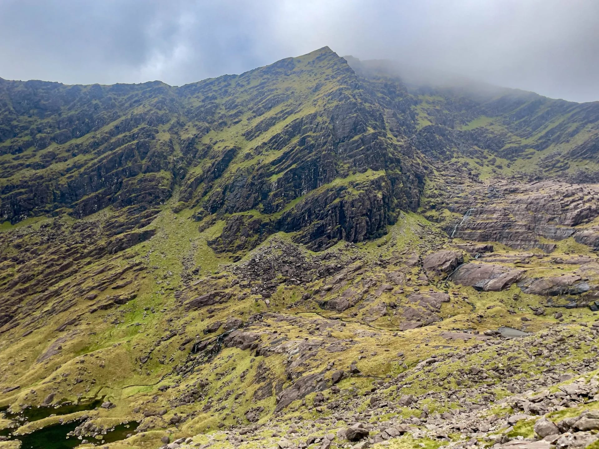
Rain can arrive horizontally on exposed headlands and ridges. Wind speeds on the Dingle cliffs and the Kerry mountain passes regularly exceed 60km/h in summer storms.
An outer layer with a hydrostatic head rating of at least 10,000mm and fully taped seams is the minimum for exposed mountain stages; 15,000 to 20,000mm is preferable for multi-day exposure to Atlantic conditions. The DWR (Durable Water Repellent) treatment on the outer fabric matters as much as the membrane rating. A jacket with degraded DWR will wet out and feel cold even if the waterproof layer is intact.
Cold temperatures at altitude can be underestimated in summer: the summit area of the MacGillycuddy's Reeks sits at over 1,000m, where temperatures average 8 to 12C in July and drop further in wind. Hypothermia risk is real on any high-ground stage if you are wet, underdressed, and stopping.
When to Turn Back
If sustained wind makes it impossible to stand steadily on exposed ground; visibility drops below 50 metres and you are unsure of your position; a river crossing that was passable in the morning has risen significantly after heavy rain; or lightning is within 10 kilometres.
River crossings after extended heavy rain are a real hazard on sections of the Kerry Way and Beara Way where no bridge exists. If in doubt, wait or find an alternative route.
Emergency Contact
Emergency services in Ireland: call 999 or 112, which works on all networks, including with no credit on prepay phones.
Mountain rescue in Ireland is entirely voluntary and free to the user. A donation to your local team is considered appropriate if you required their assistance.
Best Time to Hike in Ireland
The window for hiking in Ireland runs from May to October, with a clear peak in June, July, and September. Here is what each month actually delivers:
April: The lightest month before the summer walkers arrive. Days are lengthening fast (14+ hours of daylight by late April), wildflowers are emerging on the hedgerows, and the trails are largely empty. The downside is that some accommodation on smaller trails, particularly the Beara Way, may not have opened for the season, and upland snow can still sit on the Kerry and Dingle high ground into mid-April.
May: Reliable and increasingly popular. Climate averages confirm May as Ireland's nationally driest month. Accommodation is open, the landscape is at its freshest after spring, and midge numbers have not yet peaked. May is arguably the most consistent hiking month.
June: The main advantage of June is daylight. Up to 17 hours around the solstice, giving walkers more flexibility with start times and the ability to recover time lost to a slow morning. Rainfall across Ireland in June is broadly similar to July and only slightly higher than May. Popular stages of the Kerry Way and Wicklow Way are busier than May, and accommodation books up fastest in this month. Book early.
July: The warmest month and the most popular. Temperatures peak in July, which is its primary draw. The longest day has passed, but daylight remains generous. The Kerry Way and Wicklow Way can be busy; the Beara Way remains quiet.
August: School holidays bring more families and leisure travellers to trail towns; serious long-distance walkers find it less ideal than June or September. Book accommodation well ahead. Some guesthouses on the Kerry Way are full by April.
September: The best month for experienced walkers. Rainfall increases but remains manageable; the light is lower and more golden; crowds thin noticeably after the first week; and settled high-pressure periods of three to five days become more likely as Atlantic systems temporarily relent. Accommodation is still fully operational.
October onwards: Weather becomes increasingly unreliable and short days limit mileage. The Wicklow Way remains walkable in October; the exposed coastal sections of the Dingle Way and Beara Way become considerably harder in Atlantic autumn storms. Most experienced hikers treat October as the limit.
The Midge Question
The Highland midge is present across Ireland from late May to September, with peak activity in June, July, and August. Midges are most active at dawn and dusk, but will bite throughout the day in the right conditions: overcast sky, still or near-still air, high humidity. Wind is their main suppressant.
On the trail, you are moving fast enough to outpace them most of the time; the real problem is extended stops in sheltered boggy areas on still, grey days.
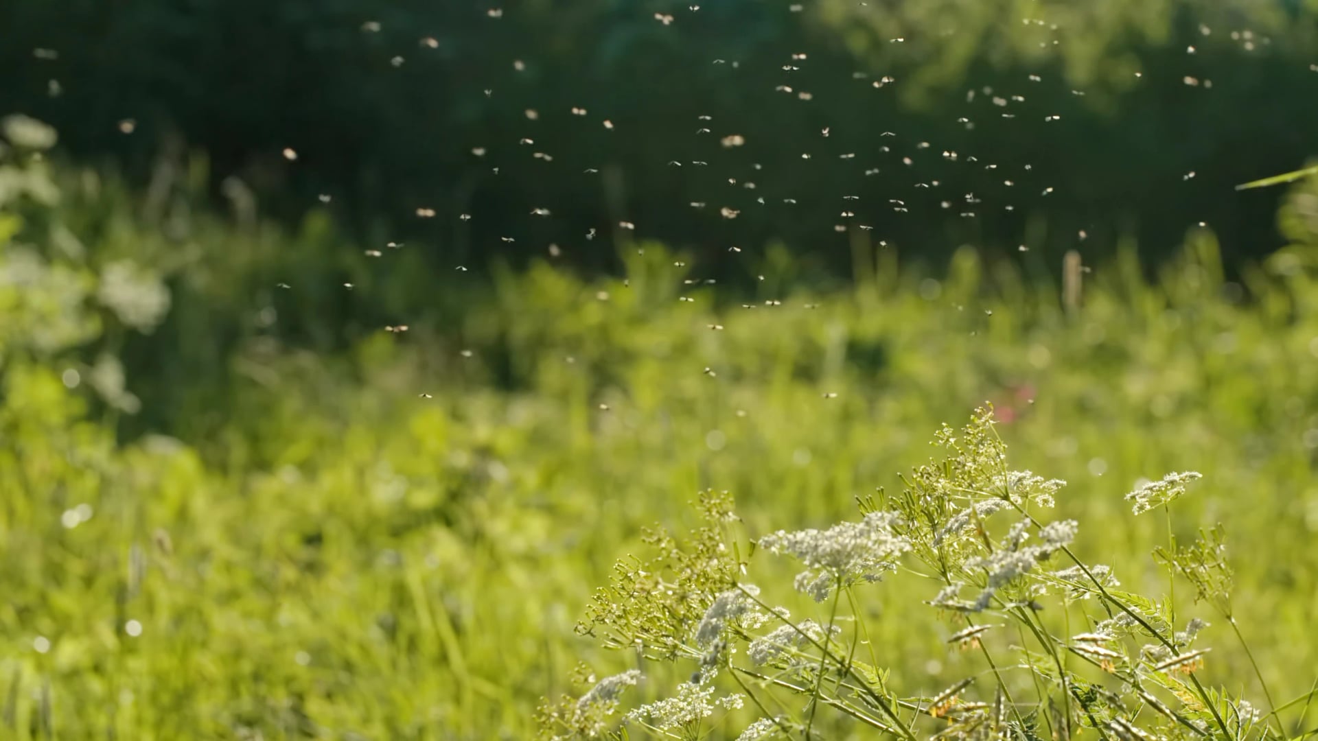
Bites feel like a sharp prick and can raise irritating lumps lasting hours or days, depending on individual reaction. Midges carry no diseases in Ireland. They do not respect tents, and lightweight tent users should check zips carefully.
For prevention: cover exposed skin in the evening, carry a midge head net if you are stopping in upland boggy areas, and use repellent on any exposed skin. Our guide to surviving midges on a hike covers the rest. The Kerry and Dingle high ground, the Wicklow bog sections, and sheltered parts of the Beara Peninsula are the areas where midges are most reliably present.
Know Before You Arrive
Accommodation and Booking
Accommodation: Ireland's trail accommodation is B&Bs and guesthouses, with occasional hostels. There is no hut booking system, you book directly with each property. On the Kerry Way and Wicklow Way in peak season (June to August), accommodation must be booked months in advance. The Beara Way has more availability but fewer options in each village, so advance booking remains advisable.
A luggage transfer service is standard practice on self-guided Irish trails: your bag is moved by vehicle between each night's accommodation while you walk with a daypack. Any specialist hiking tour operator can arrange this.
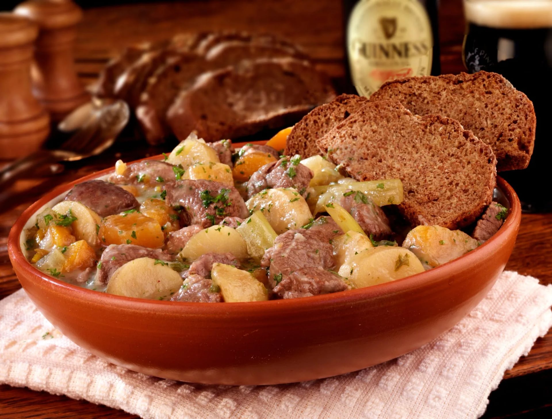
Ireland has no trail hut culture equivalent to Norway's DNT network or the Alpine hut systems. The trail accommodation model is B&Bs, farmhouses, guesthouses, and occasional hostels. Real buildings, cooked breakfasts, single or shared rooms, and owners who almost invariably know the stretch of trail that passes their front gate.
This is one of the distinctive features of walking in Ireland and one reason experienced European hikers often return: the end of the day is a meal in a kitchen rather than a freeze-dried packet in a dormitory.
Cash, Water and Signal
Cash vs card: Most B&Bs and guesthouses accept card payments, but smaller establishments on quieter sections of the Beara Way and Kerry Way may be cash-only. Carry a small amount of cash as a backup. ATMs are available in Killarney, Kenmare, Cahersiveen, Dingle, Tralee, and Roundwood, among other trail towns. Do not rely on finding one in the smaller villages such as Laragh, Glenmalure, Tinahely, Clonegal and Dunquin, and most Beara Way hamlets have none.
Drinking water: Tap water in Ireland is safe to drink. Stream and river water varies, water running through bog carries dissolved organic material and should be treated before drinking. Below agricultural land, contamination risk from livestock is real. Carry enough water for each stage rather than relying on wild sources.
Mobile signal: Coverage on Irish trails is patchy. Vodafone and Three tend to have the best rural coverage in Kerry; all networks have gaps on mountain terrain and in the Black Valley. Download offline maps and GPS tracks before setting off each morning. Do not rely on a live data connection in the mountains.
What to Pack
Boots need ankle support as well as a membrane, and a full waterproof jacket and trousers belong in the pack on every stage regardless of morning conditions. A foil emergency blanket, basic blister kit, and a compass (even if you primarily use GPS) are worth the small weight penalty. If six hours a day is more than your legs currently do, our training guide for hikers is the place to start.
Getting There and Getting Around
Dublin Airport is the primary international gateway. Frequent transatlantic services from North America (New York, Boston, Chicago, Toronto) and direct connections from most major European cities. Shannon Airport, serving Kerry and the west, has fewer international routes but reduces ground transfer time for the Kerry Way and Dingle Way significantly.
Kerry: Irish Rail runs direct from Dublin Heuston to Killarney. Killarney is the start and finish of the full Kerry Way, which eliminates the need for an additional transfer. Bus Eireann services connect the major Kerry Way staging posts to Killarney, which is useful for logistics. A taxi or private transfer is needed for some trailheads.
Wicklow Way: The trail starts at Marlay Park in Rathfarnham, Dublin, 30 minutes by bus or Luas (light rail) from the city centre. This is the easiest trail access in Ireland. The finish at Clonegal is served by Bus Eireann service to Dublin. No car is needed for this route.
Dingle Way: Tralee is served by Irish Rail from Dublin Heuston, connecting via Mallow, in around three hours. Bus Eireann serves Dingle from Tralee, which is useful for the mid-route rest day.
Beara Way: Glengarriff is reached from Cork city by Bus Eireann in approximately 1.5 hours. Cork Airport has international connections. This is the most car-friendly of the five routes if driving.
Clare: Shannon Airport is the closest, about an hour from Liscannor by road, with Dublin around three and a half hours away. Bus Eireann route 350 runs the coast between Ennis, Liscannor, Doolin and Ballyvaughan, which covers both ends of the route.
Frequently Asked Questions
Plan your Ireland hike
There is a reason that long-distance hiking in Ireland keeps pulling people back despite the weather. It is not that the trails are forgiving; the longer stages of the Kerry Way and Beara Way are properly demanding. It is that the combination of things Ireland puts together on a single walk, the terrain, the history embedded in the landscape, the small-scale trail towns, the way an entire day can shift from horizontal rain to brilliant September light in the space of an hour, is not replicated anywhere else.
Prepare for the conditions. Set realistic expectations about what the weather will do. Then go.
Tell us how long you have and which trail appeals, and we will put a route to it. Get in touch and we will take it from there!

About this author
Jon is our travel advisor and an outdoor adventurer who is happiest on the move. While mountain biking is his personal passion, he thrives on crafting hiking adventures for others — planning routes and adding the little touches that turn a trip into a core memory.

































.jpg&w=828&q=75)