A Guide to Hiking the Peaks of the Balkans
Three Balkan countries, one unforgettable loop. Here's how to tackle the Peaks of the Balkans trek with best timing, permits, stages, map and more.

Jon
Published September 16, 2026
Edited September 16, 2026
13 min read
Quick links
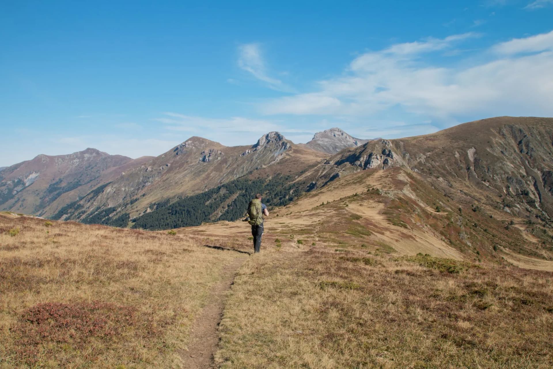
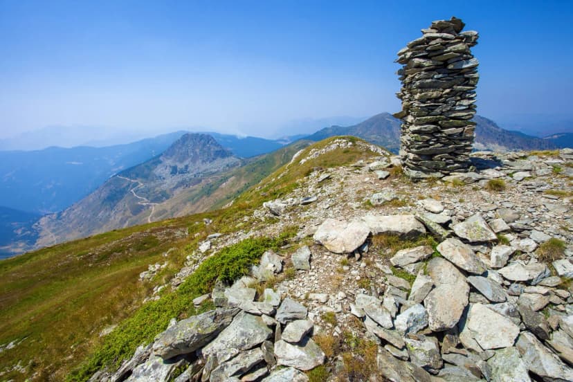
Few treks feel as wild as the Peaks of the Balkans — a roughly 190-kilometre loop through the rugged, half-forgotten borderlands of Albania, Montenegro, and Kosovo, deep in the heart of the Accursed Mountains. It links remote shepherd villages, glacial valleys, and high passes over 2,000 metres, and it does so on a trail that barely existed fifteen years ago. It also offers something even more rare: the thrill of crossing remote, unguarded international borders on foot.
Here's everything you need to plan it — the route and its stages, border permits, navigation, difficulty, accommodation, costs, and the best time to go.
At a Glance
Distance: ~92 km (120 miles), circular loop
Total altitude gain: over 10,000 m, often 1,000+ m/day
Duration: 9-12 days
Countries: Albania, Montenegro, Kosovo
Difficulty: 3/5 — challenging but non-technical
Best season: June-September
Trail Map
The Route and Its Stages
The classic trail is usually walked anti-clockwise starting from Theth in Albania. Because the majority walk the same way, going with the flow means you keep bumping into the same hikers each evening, which most people find a real highlight on an otherwise wild and isolated trail. However, it can be walked in either direction and joined at several points.
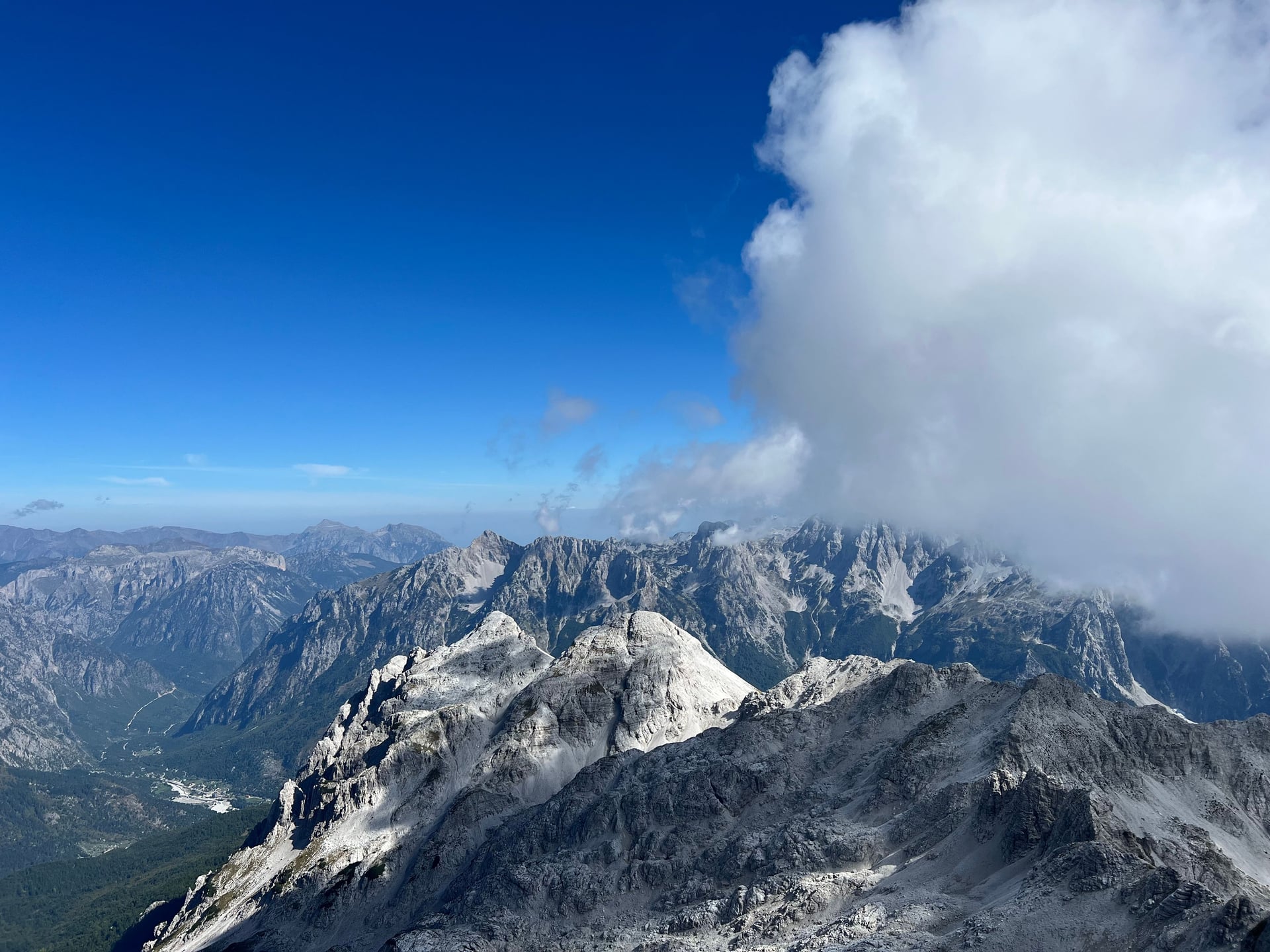
The 10 standard stages of the trail run roughly as follows:
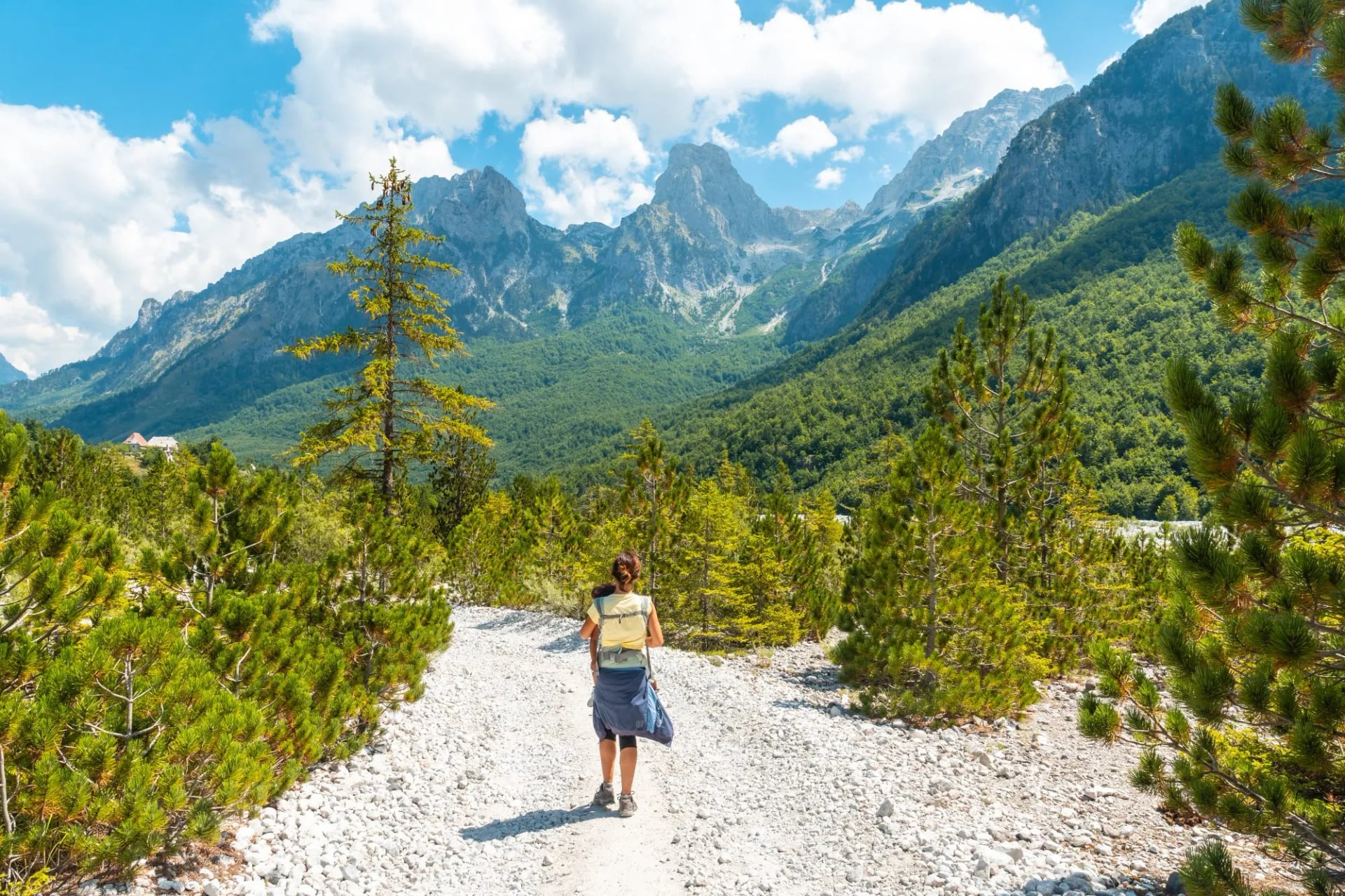
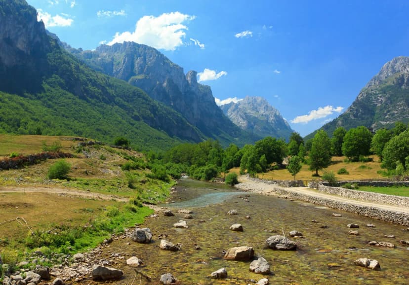
Theth → Valbona (Albania) — about 16 km over the same scenic pass (~1,800 m) used by day hikers.
Valbona → Çerem (Albania) — over the Prosllopit Pass into quieter country.
Çerem → Dobërdol (Albania) — climbing to the remote shepherd settlement of Dobërdol.
Dobërdol → Milishevc (Kosovo) — crossing your first international border on foot into Kosovo.
Milishevc → Reka e Allagës (Kosovo) — through forest and high meadow.
Reka e Allagës → Liqenat / Drelaj (Kosovo) — past the red rock landmark of Guri i Kuq.
Into Montenegro → Babino Polje — crossing the second border into the Prokletije.
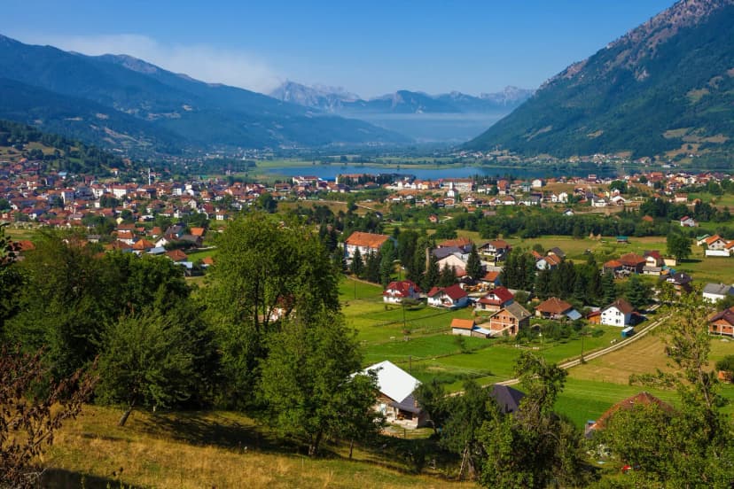
Babino Polje → Plav (Montenegro) — about 21 km descending to the lakeside town of Plav.
Plav → Vusanje (Montenegro) — through the Grebaja and Ropojana valleys.
Vusanje → Theth (Albania) — the final cross-border pass.
That's roughly 180 km of walking across the route. Exact village stops and distances vary slightly between itineraries, but the spine of the route stays the same.
If you only have time for a taste rather than the full loop, the Theth–Valbona stage on its own is the single best day, and a Theth–Valbona–Çerem mini-loop makes a satisfying long weekend.
Our alternative:
12 days on Peaks of the Balkans: Full Itinerary
Most people start and finish in Theth, reached by road from Shkodër in northern Albania (about three hours). You can also begin from Valbonë (via the spectacular Lake Koman ferry), from Plav in Montenegro, or from the Kosovo side near Peja/Pejë.
Our recommended itinerary takes you from Theth to Valbonë first.
Day 1 — Arrival in Theth (Albania)
The journey begins with the bus up from Shkodër, climbing steeply into the Albanian Alps past gorges, forest, and traditional stone houses. Settle into this remote valley village, home to the landmark stone church and the Kulla e Ngujimit (Lock-In Tower).
Day 2 — Theth → Valbonë
17.5 km · +1,070 m / −900 m
The trek's iconic opener, crossing the high pass between two of the Alps' most beautiful valleys — a fittingly dramatic first day on the trail.
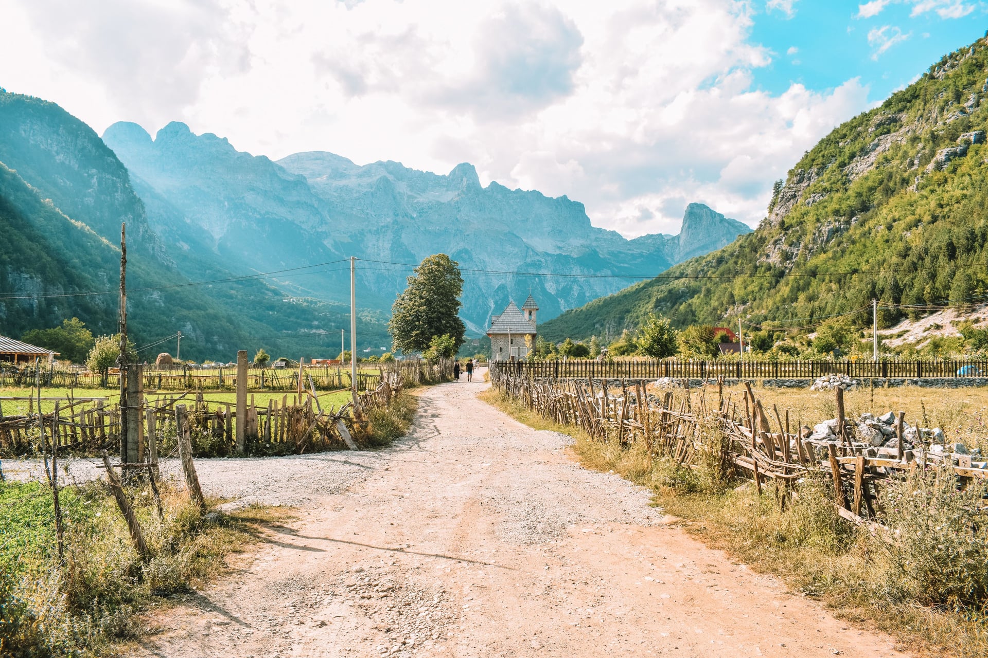
Day 3 — Valbonë → Çerem
10.5 km · +600 m / −360 m
A shorter, gentler day that leaves the crowds behind, winding into the quiet, rugged country around the hamlet of Çerem.
Day 4 — Çerem → Dobërdol
15 km · +1,100 m / −450 m
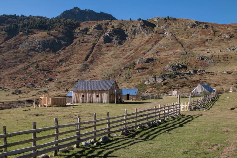
A steady climb up to Dobërdol, a remote cluster of shepherd huts high in the summer pastures. Overnight at the rustic Guest House Bashkimi.
Day 5 — Dobërdol → Milishevc (Kosovo)
18.5 km · +1,060 m / −1,160 m
Your first border crossing, on foot into Kosovo, on the highest and wildest stage — with the chance to stand at the Tromedja tri-border point where three countries meet.
Day 6 — Milishevc → Reka e Allagës (Kosovo)
15 km · +900 m / −1,300 m
A big-descent day beneath the slopes of Gjeravica, Kosovo's highest peak, dropping through forest and meadow into the Rugova region.
Day 7 — Reka e Allagës → Kuçishtë (Kosovo)
18.5 km · +1,000 m / −1,150 m
Deeper into the dramatic Rugova mountains, a long but rewarding traverse through some of Kosovo's wildest and least-visited scenery.
Day 8 — Kuçishtë → Babino Polje (Montenegro)
18.5 km · +1,500 m / −1,050 m
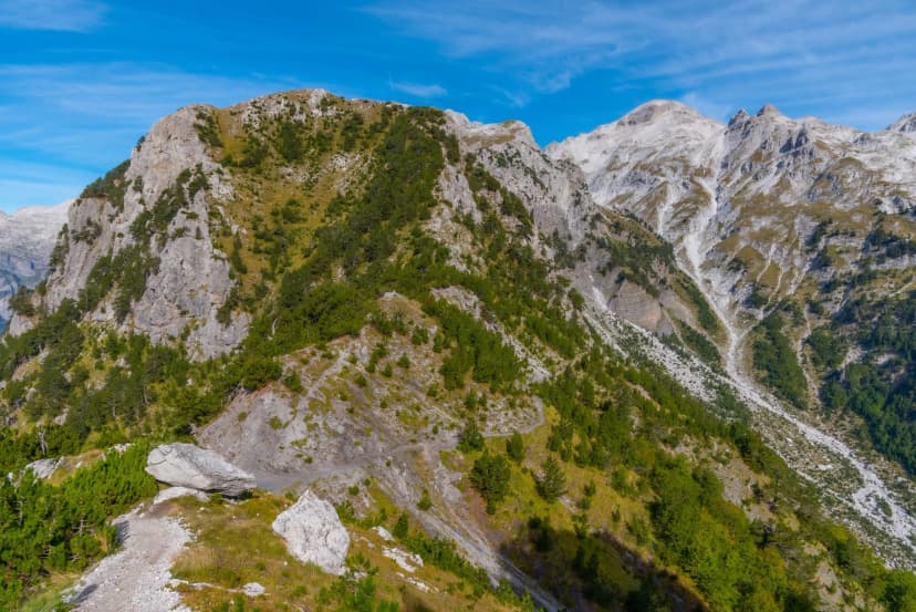
The biggest climbing day of the trek and your second border crossing, this time into Montenegro and the Prokletije, ending at the remote settlement of Babino Polje.
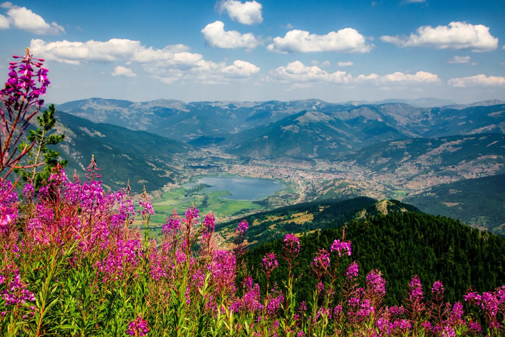
Day 9 — Babino Polje → Plav (Montenegro)
21 km · +660 m / −1,250 m
A long descent down to the lakeside town of Plav — the trek's main dose of comfort, with shops, restaurants, and a proper bed.
Day 10 — Plav → Vusanje (Montenegro)
22 km · +1,250 m / −1,150 m
The longest day of the route, climbing again toward the meadows and peaks around Vusanje.
Day 11 — Vusanje → Theth (Albania)
21 km · +920 m / −1,210 m
The final border crossing, over a high pass back into Albania and down to Theth, closing the great circle where it began.
Day 12 — Departure from Theth
The scenic bus back down to Shkodër, where the trip ends among the city's streets, historic landmarks, and the Rozafa Castle above the meeting of three rivers.
Highlights Along the Way
What makes the peaks of the Balkans hike special isn't any single summit — it's the relentless variety packed into one loop. The truly standout moments include:
Strung together over ten days, these give the trek a narrative arc that few single-country hikes can match.
On The Trail: Navigation, Safety and Tips
Safety
A few hazards here are specific to these mountains rather than universal trail sense. You'll meet large livestock-guarding dogs on the high pastures — don't run; stand calm and wait for the shepherd to call them off.
Stick strictly to the marked route near the borders, where unexploded ordnance still lingers off-trail in a few areas.
Mountain weather turns fast, with afternoon storms building over the passes, so start early and carry warm and waterproof layers even on a clear morning. And because rescue is limited and slow in this terrain, travel insurance that covers mountain trekking and evacuation is essential — though on our trips you're never entirely on your own, with support on hand throughout and all border permits arranged in advance.
See our ultimate guide to hiking in Albania for the full safety and packing rundown in the respective part.
Waymaking
The route is signed with red-and-white blazes and Peaks of the Balkans markers, but signage can be faint or missing at junctions and on high pastures, especially in mist. Don't rely on demarkation alone. Good navigation is essential, because this is a remote Balkan hike where help can be hours away and phone signal is patchy.
A downloaded track and a charged power bank together are a must. If you'd rather rely on professional assistance and trustworthy information, our self-guided tours include GPS navigation through an easy-to-use app and a digital guidebook with detailed route notes, so you can follow each day's stage with confidence even where the markings fade.
Border permits
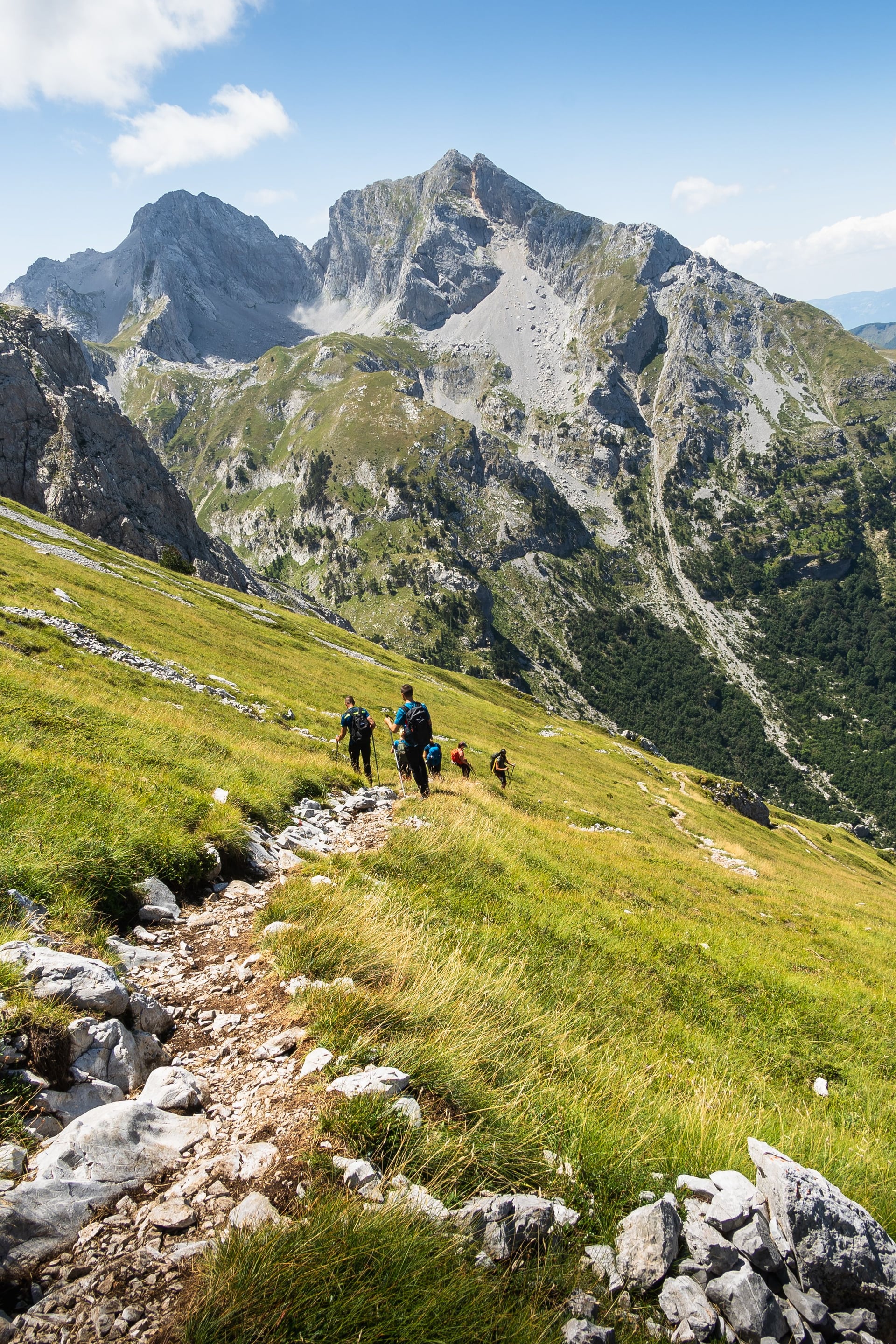
Because the trail crosses between Albania, Montenegro, and Kosovo — and you sleep overnight in each — you need cross-border permits for the crossings where you stay over. On the standard loop that means three main border permits.
Key points to stick by:
Apply at least two weeks before you start. Approvals are processed by the relevant police authorities and take time — leave it late and you cannot legally walk the full loop.
You'll need a scan of your passport (and personal details) for the application.
Budget roughly €20–40 per person. This typically includes a small fee paid to the Montenegrin border police.
Agencies and guesthouses can arrange it for you, which is by far the easiest route; independent application is possible but more fiddly.
On our tours we arrange these for you, so there's nothing to organize yourself. Whatever the way you obtain the permits, carry your passport and approved permit with you on the trail, not in your luggage back in town — you'll need them at the crossings.
Other practical tips
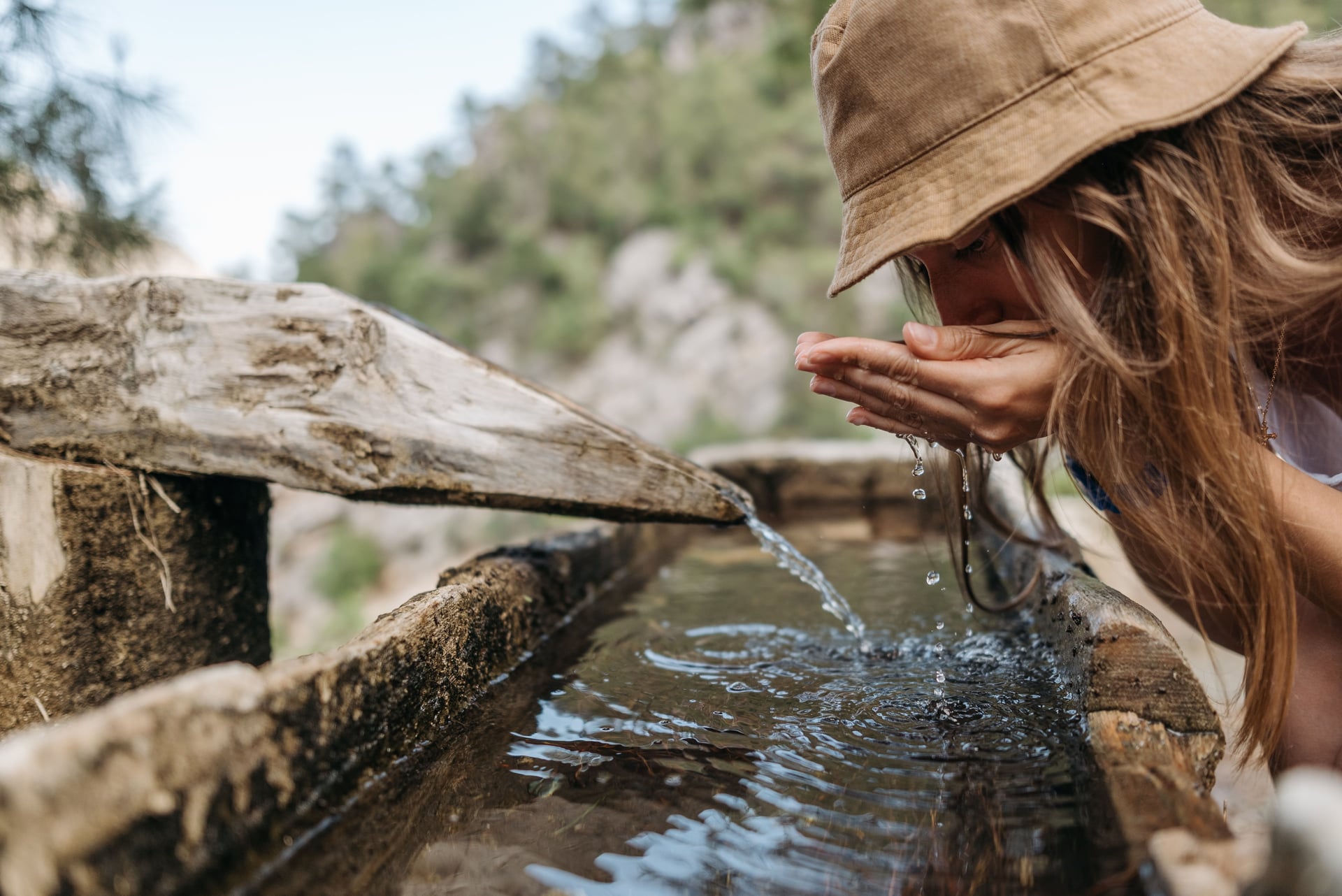
Bring enough cash for the whole trek in small notes; there are no ATMs along most of the route, and euros are accepted across all three countries. Guesthouse meals run to set times, so plan your hiking hours around an early breakfast and an evening dinner. Refill water at springs and mountain huts whenever you can, as some stretches are long and dry — and leave time for the shepherd-hut coffee stops along the way.
How Difficult is the Peaks of the Balkans?
This is a tough but achievable trek. There's no technical climbing or scrambling, but the daily numbers are demanding: ascents of 1,000–1,200 m followed by long descents are normal rather than exceptional, on rough, rocky, and sometimes steep ground, day after day for over a week.
You don't need mountaineering experience, but you do need genuine hiking fitness, comfort with multiple consecutive long days, and some multi-day trekking experience. If you can happily walk 6–8 hours with significant ascent and back up the next morning, this trail is for you. If your hiking is mostly day trips on gentle terrain, build up first or consider walking a shorter section.
Accommodation and Food
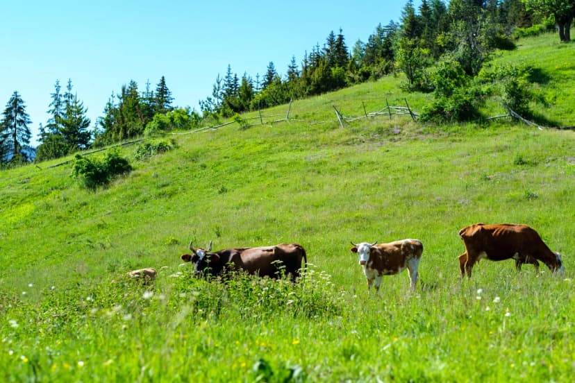
One of the joys of this beloved Balkan trail is that you don't carry a tent or cook for yourself unless you want to. Each stage ends at guesthouses or mountain huts in villages like Valbona, Dobërdol, Plav, and Vusanje with accommodation and breakfast included in the price. Often, additional meals are available for purchase at onsite restaurants that offer hearty, home-cooked meals — a highlight in their own right. They can also supply you with a takeaway lunch for the upcoming stage.
Crucially, much of the route is cash only. There are no ATMs in the high villages and cards aren't accepted, so bring enough cash for the whole trek in small denominations. Euros can work across all three countries, but Albanian lek is more useful on the Albanian sections.
This rule-of-thumb stays when crossing the border, but the currency changes. In both Montenegro and Kosovo, the Euro (€) is the de facto currency used for cash payments, even though neither of the countries are members of the European Union.
Best Time to Hike
The season is short. The reliable window is late June to late September, with a sweet spot in July and August when the passes are clear of snow, the weather is most stable, and the guesthouses are all open.
Passes usually clear of snow; quieter trails and wildflowers, but check conditions on the highest crossings.
Peak season — best weather, all services open, busiest guesthouses.
Beautiful and quiet, but the first autumn snow can arrive on high ground by mid-month, and some guesthouses begin to close.
Snow closes the passes; the trail is not viable for normal trekkers.
For the wider month-by-month picture, see our ultimate guide to hiking in Albania.
What to Pack
Pack as you would for any serious multi-day mountain trek, plus a few things specific to this region: plenty of cash (no ATMs en route), your passport and border permits, sturdy ankle-supporting boots for rough terrain, a warm layer for cold mountain mornings even in July, a water filter or purification plus capacity to carry between sources, and offline maps, a GPX track, and a power bank. Our ultimate guide to hiking in Albania has the full Albania-specific packing and safety rundown.
With a Guide or Independently
The Peaks of the Balkans can be done independently, but the permits, guesthouses, and navigation all demand considerable preparation.
A self-guided-with-support trip makes more sense if you'd rather not handle the complex logistics that can make or break your trip, want luggage transfers between some stages, prefer the security of a local guide on remote passes, or simply want to walk without logistics on your mind.
Both approaches are popular; the right one depends on your experience and how much planning you enjoy.
Getting There
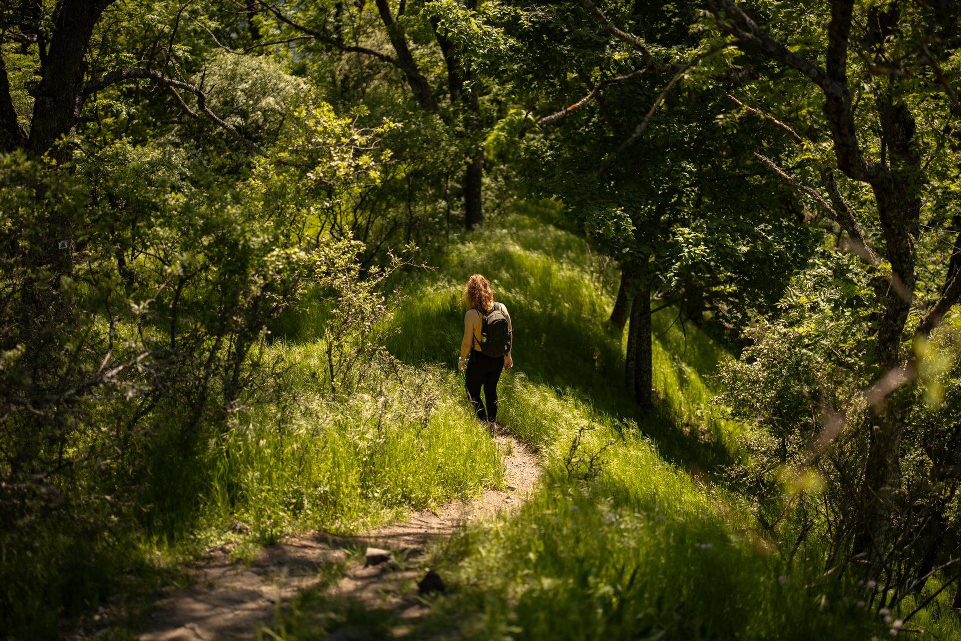
Reaching the start is straightforward once you know the connections. For a Theth start, fly into Tirana (Albania's main airport) or travel overland to Shkodër, the northern gateway city; from Shkodër it's about a three-hour van or transfer ride up to Theth.
If you'd rather begin in Valbona, take the Lake Koman ferry — a spectacular boat trip through a flooded canyon — and continue up the Valbona valley. The Montenegrin side is usually accessed via Podgorica and Plav, and the Kosovo side via Pristina and Peja/Pejë. Because the trail is a loop, you return to wherever you started, so plan your inbound and outbound travel around the same town.
How Much it Costs
This Balkan peak trail is excellent value by European standards. A rough independent budget:
Guesthouses: ~€25–40 per night, with dinner, breakfast, and a packed lunch.
Permits: ~€20–40 per person.
Transfers to and from your chosen trailhead.
All in: roughly €500–700 per person for the trek itself, excluding flights and gear.
Guided or supported trips cost more but bundle permits, bookings, transfers, and a local guide. Remember that almost everything on the trail is cash only — there are no ATMs in the high villages, so carry the full amount in small notes, with euros usable across all three countries.
Planning Made Simple
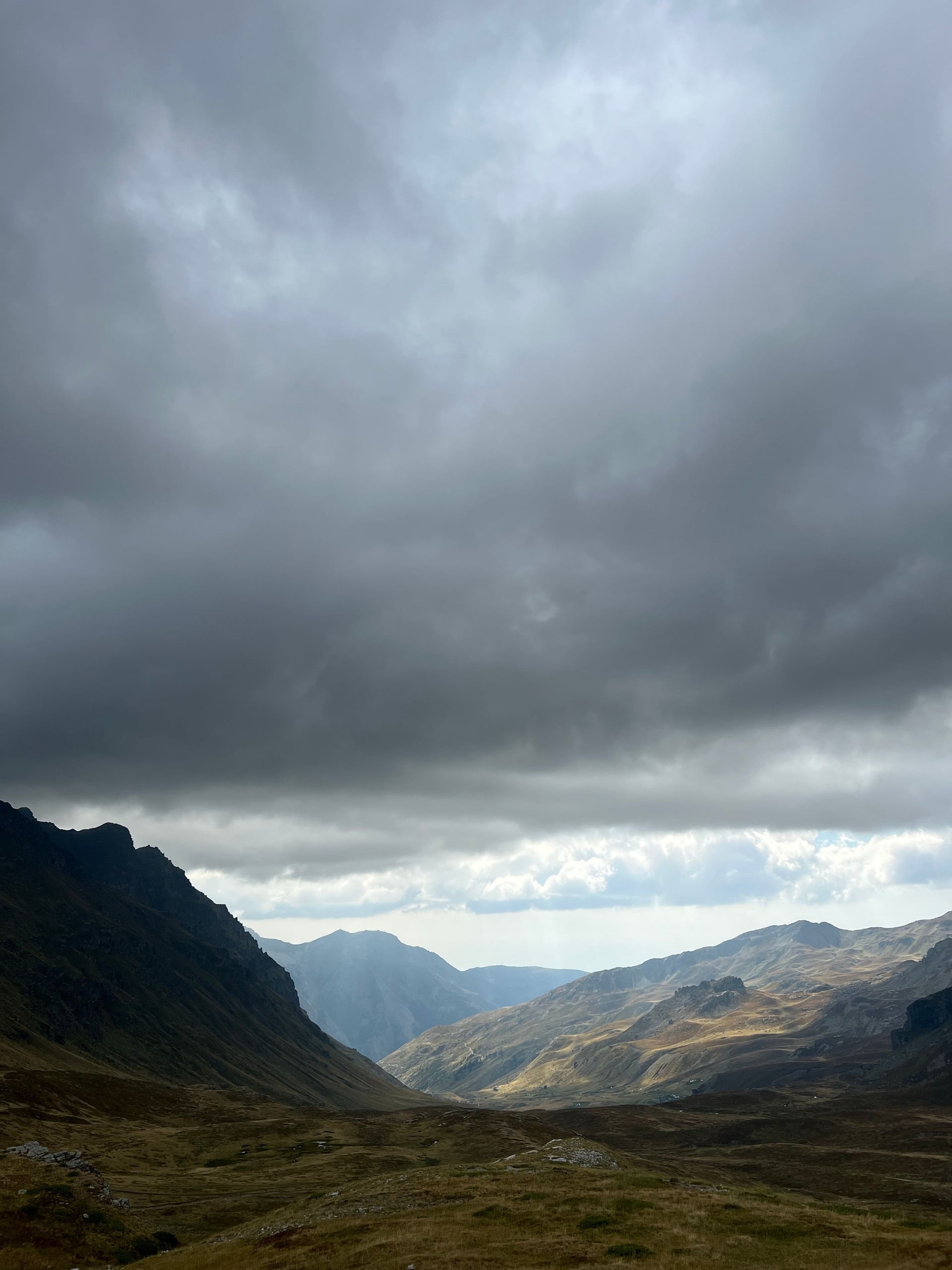
The Peaks of the Balkans packs three countries, a dozen high passes, and some of the last truly wild corners of Europe into a single circular trek — and it does it with a roof and a hot meal at the end of every day. Sort your border permits early, carry a proper map and enough cash, time your trip for the summer window, and this trail will reward you with a hike that still feels like a genuine adventure.
While the trail can be done independently, the permits, cross-border logistics, and guesthouse bookings take some planning experience and in-advance organizing. A self-guided trip with support removes that load while keeping your freedom to walk at your own pace. On ours, we:
arrange all three border permits,
book every night's accommodation in advance,
provide GPS navigation and a digital guidebook, and
offer support throughout your hike.
Keep planning with our ultimate guide to hiking in Albania

About this author
Jon is our travel advisor and an outdoor adventurer who is happiest on the move. While mountain biking is his personal passion, he thrives on crafting hiking adventures for others — planning routes and adding the little touches that turn a trip into a core memory.














































.jpg&w=828&q=75)



