Hiking in Sicily: Beyond the Beach, Onto the Trails
A regional guide to walking the Mediterranean's largest island — from Mount Etna's black lava to the Aeolian volcanoes, coastal reserves, and pilgrim routes.

Ajda
Published September 28, 2026
Edited September 28, 2026
11 min read
Don't want to read all this?
We've planned 2,000+ hiking trips. Send your dates, fitness and group size — we'll map the route and book every night.



Sicily is the largest island in the Mediterranean — 25,700 square kilometers off the toe of Italy, dominated by Europe's tallest active volcano and layered by 3,000 years of Greek, Arab, and Norman occupation. It's also one of the most walkable places in southern Europe.
The trails aren't hidden — they're just past where most people look. Beyond Taormina and Palermo, Sicily has long-distance pilgrimage routes crossing the island, mountain parks the size of small countries, coastal reserves closed to cars, and volcanic islands you can walk end-to-end in a day. The walking season runs March to June and September to early December; interior heat rules out July and August.
The essentials:
Where: Off the toe of Italy — the Mediterranean's largest island, 25,700 km², closer to Tunis than to Rome.
What: Six distinct walking regions covering volcanoes, mountain parks, coastal reserves, and offshore archipelagos, plus a 183 km inland pilgrimage route.
Difficulty: Everything from flat coastal loops on the Egadi Islands (1/5 fitness) to the 10-day Magna Via Francigena (4/5 fitness) and guided volcano ascents.
When: March–June and September–early December. Etna and the Aeolians workable in summer thanks to altitude and sea breeze.
The six walking regions covered in this guide sit across the island as marked below — Etna and the Aeolians in the east, the mountain parks along the northern ridge, the reserves on the north-western coast, the Baroque south-east, and the Egadi Islands off the west.
Why Walk Sicily
What makes Sicily worth a walking week is not its size but how much changes inside it. In a week's walking you can cross Norman feudal country, Arab agricultural terraces, Greek temple ruins, Roman mosaic villas, and lunar volcanic slopes without doubling back. That isn't marketing; it's the actual geography of the island.
Sicily also runs a longer walking season than any part of mainland Italy. The peak months for the classic pilgrimage routes are April, May, October, and November — cool enough for full days on foot, warm enough that agriturismi are still open, and dry enough that the interior river fords don't stop you. Etna and the Aeolian volcanoes are accessible year-round with the right permits.
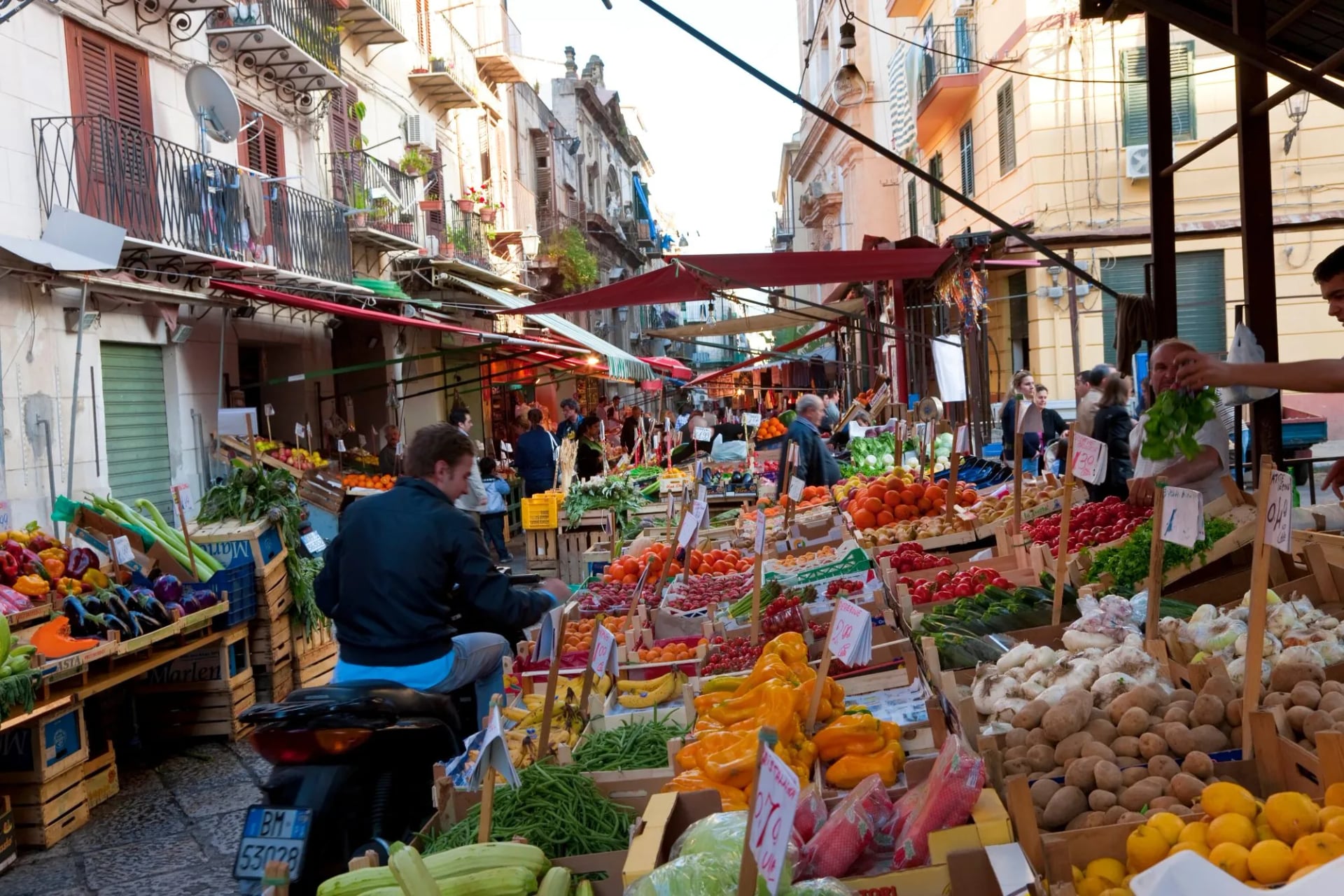
And the food shifts every 30 km. Palermo eats differently from Catania, which eats differently from Trapani, which eats differently from Ragusa. Each corner of the island has DOP wines, DOP cheeses, DOP olive oils, and dishes it defends against every other region. You walk between them, and that's most of the point.
Six Regions Worth Knowing
Each works as a separate walking week, and the terrain, food, and access shift enough between them that a first-time visitor is better off picking one than trying to see everything.
For a first-time visitor who wants a taster across several of these regions rather than a deep dive into one, our Sicily Highlights tour threads the eastern coast, the mountain interior, and the flanks of Etna into a single nine-day loop.
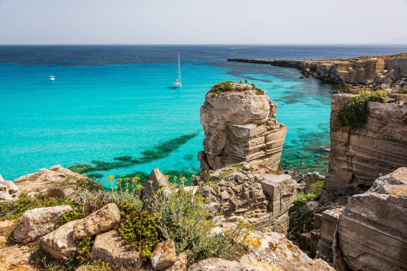
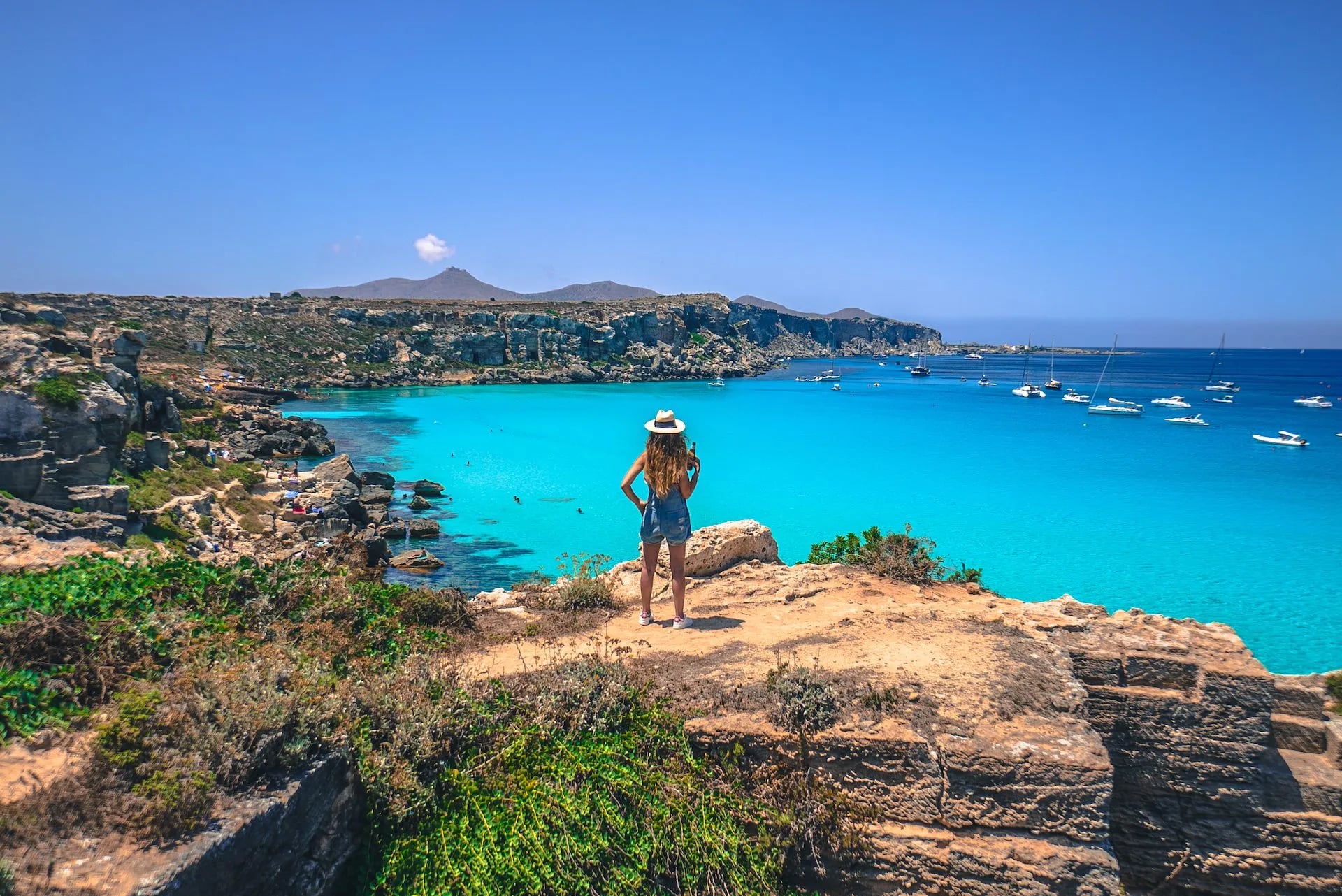
For walkers who want a lower-impact week focused on the coast and the offshore islands — the kind of trip where the swimming is as much of the day as the walking — our Egadi Islands itinerary combines mainland day walks around Trapani and Erice with three days of island hopping.
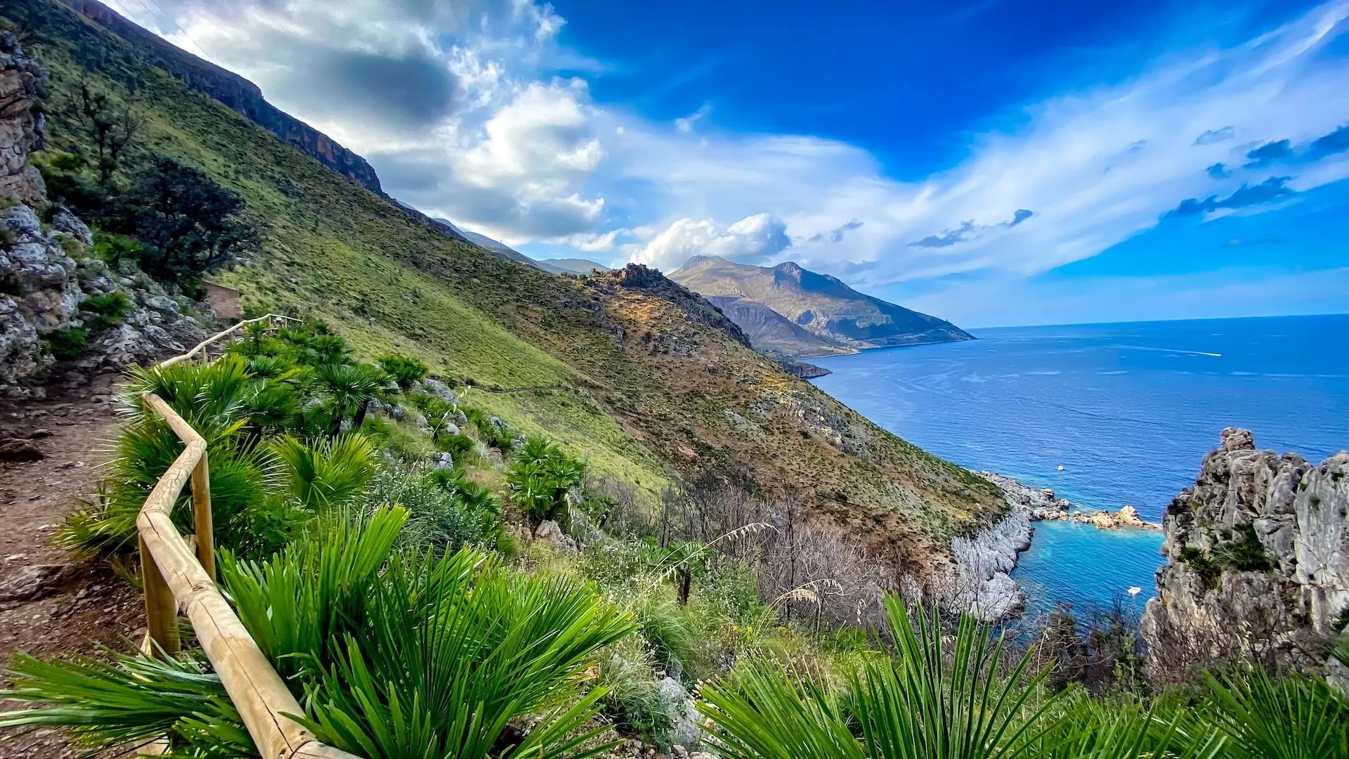
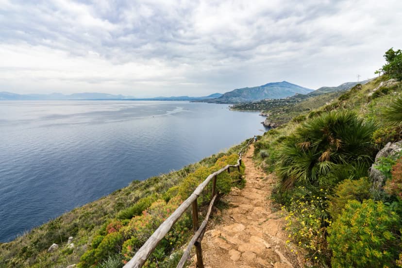
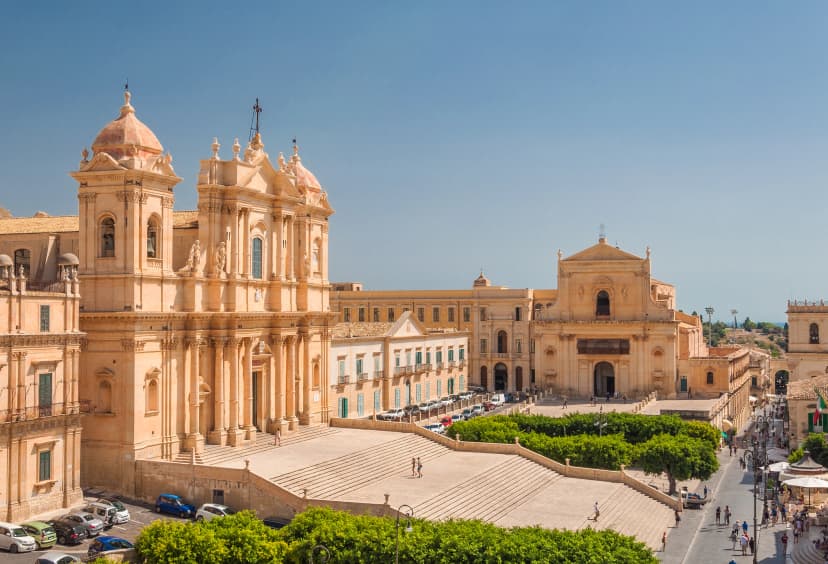
Both tours build in days on the north-western coast, including Zingaro Nature Reserve — a stretch most visitors only see from a driving stop-off, and one that most walkers regret not spending longer inside.
The Volcanoes and the Rules
Sicily is the only place in Europe where you can walk on two active volcanoes in a single week. It's also the only place where doing so without checking the current permit rules will get you fined, turned back at a barrier, or — in the worst scenario — hurt. Stromboli's 2019 eruption killed a walker on the summit path, and the access rules have tightened after every major activity phase since.
The volcanoes each have their own set of live rules. What's below is the current framework — always confirm on the official ordinances before you set out:
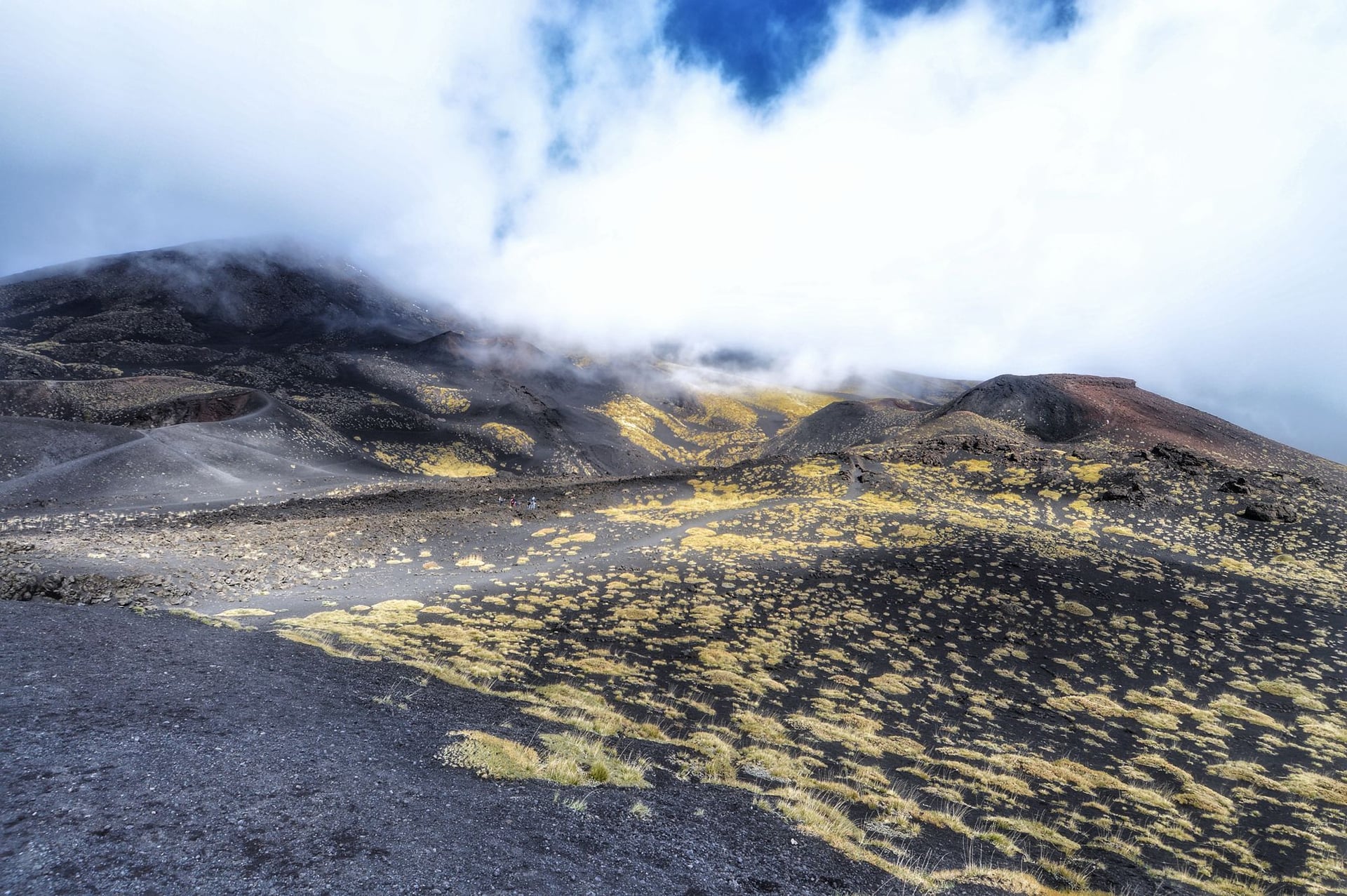
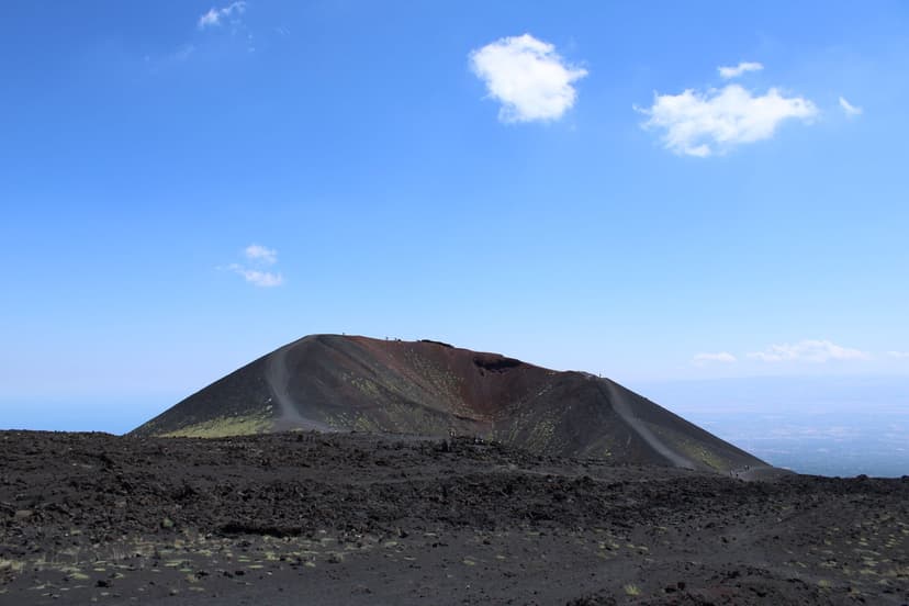
A guided line on the upper ash slopes, where above 2,920 meters a certified guide stops being optional
Independent hiking is permitted up to 2,920 meters, the Torre del Filosofo level. The cable car from Rifugio Sapienza (1,910 m) tops out at 2,500 m. Above roughly 2,920 meters, Sicilian regional law requires you to be with a certified guide from the Collegio Regionale delle Guide Alpine e Vulcanologiche — the only professionals legally authorized to lead groups onto the summit zone.
The summit crater rim sits at about 3,300 m and is subject to Civil Protection closures during active phases. You can check the current alert level on the Civil Protection Department's website.
A guided line on the upper ash slopes, where above 2,920 meters a certified guide stops being optional
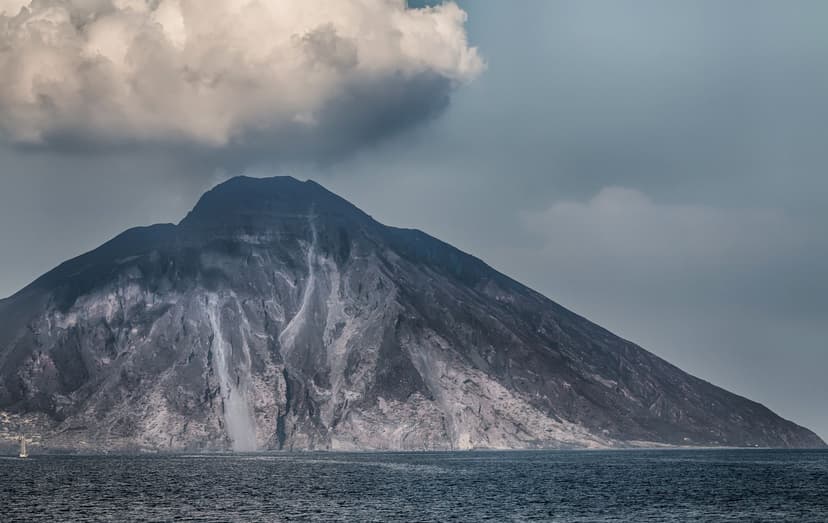
Independent walking stops at 290 meters above this village, and the summit has been shut since 2019
The 924-meter summit has been closed to all hikers since a 2019 eruption killed one walker and injured others, and the closure has held through every activity phase since.
Independent walking is allowed up to 290 meters — the panoramic Punta Labronzo trail out of the village. Between 290 and 400 meters, a certified volcanological guide is legally required, and evening ascents to that upper viewpoint (timed for sunset and the volcano's regular explosive activity) are the classic Stromboli experience.
Rules can tighten within a single day when activity spikes, and the local guide services know first.
Independent walking stops at 290 meters above this village, and the summit has been shut since 2019
Steam at the Gran Cratere rim is what closes the loop, so read the ordinance the morning you set out
Vulcano's Gran Cratere loop has intermittent closures when fumarole activity spikes — check the current ordinance before you plan a Vulcano day, and never descend into the crater itself.
Salina and Lipari have no volcanic access restrictions. The other Aeolian islands (Panarea, Filicudi, Alicudi) have walking trails but no active-volcano rules to worry about.
Steam at the Gran Cratere rim is what closes the loop, so read the ordinance the morning you set out
If any of this changes your plans for a self-organized trip, that's the point — the volcano authorities would rather you know before you arrive. It's also the strongest single argument for booking a tour on Etna and Stromboli: an authorized guide is not an optional add-on above the limits; it's the law.
The Magna Via Francigena
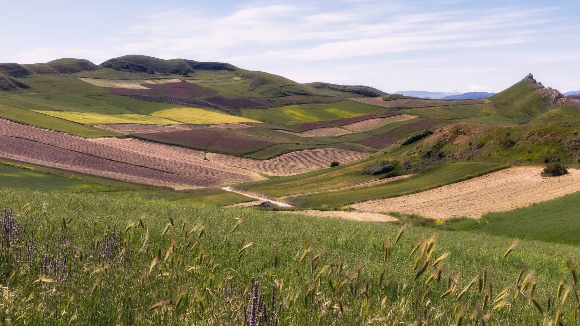
The Magna Via Francigena is Sicily's inland pilgrimage route — 183 km from Palermo to Agrigento across the central interior, revived as a formal walking route in 2017 from a medieval trade road. Nine to ten days of walking, mostly on dirt farm tracks, unpaved lanes, and short paved connectors between villages. It's the longest waymarked route on the island and the one you're most likely to have real conversations with Sicilians on — most stages end in villages where nobody speaks English and the agriturismo dinner is whatever the family ate that night.
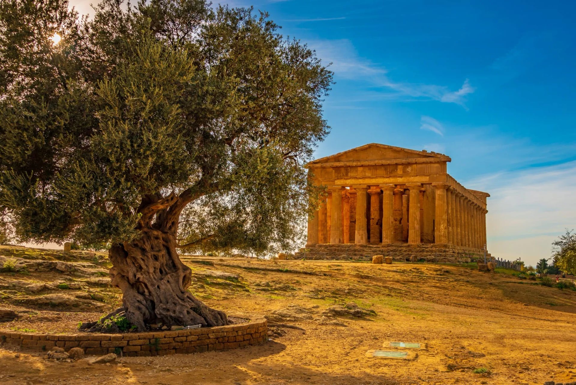
The route runs from Palermo's Norman-Arab core inland through Corleone, Prizzi, Sutera, and Cammarata, then descends to end at the Valley of the Temples in Agrigento — one of the finest Greek archaeological sites in the Mediterranean. Waymarking is yellow with a pilgrim symbol; it's generally reliable but occasionally faded, and the official credential (like the Camino de Santiago's) gets you stamps and discounted pilgrim accommodation along the way.
The one honest warning: this is the physically hardest of the Sicilian walking options, not because any single day is extreme but because the cumulative distance (roughly 20 km per day) combines with real interior heat outside the peak months and long stretches with limited water. April, May, October, and early November are the windows.
Booking is worth arranging in advance because the village accommodation on this route is limited and fills through the Italian pilgrim network well before it's visible on international booking sites. Our Magna Via itinerary handles the agriturismo and B&B chain along the full route.
When to Go
Sicily runs a longer walking season than mainland Italy — three usable windows and one month range to avoid. The four cards below break down what each season actually looks like on the ground:
April and May put the interior under flowers, and the farms stay green before the summer burns them
The classic spring window and the peak of the pilgrimage-route season. Daytime temperatures run 15–25°C, wildflowers cover the interior through April and May, and the interior farms are still green before the summer scorches them.
Coastal reserves are cool enough for full-day walking, and the Aeolian ferry service ramps up from April (some island routes are seasonal until Easter). Book the Magna Via Francigena accommodation early for these months.
April and May put the interior under flowers, and the farms stay green before the summer burns them
October is the olive harvest, so expect nets under the trees and a press running in the next village
The second peak. Temperatures cool from around 28°C at the start of September to 15°C by early December, and the light gets progressively softer through October and November.
October is the olive harvest — you'll walk past nets under the trees and pressing operations in every village. November is Sicily's most under-rated walking month: the tourists are gone, the food shifts to game and mushrooms, and the coast is warm enough for a mid-hike swim into early December in a good year.
October is the olive harvest, so expect nets under the trees and a press running in the next village
Snow sits on Etna from December while the south-east stays mild, which is where winter walking works
Workable at low elevation and on the coast, though rain becomes a real factor and some services close for the season. Aeolian ferry service runs a reduced winter schedule.
Etna gets serious snow above 1,500 m — chains are legally required on the mountain roads December through March, and guided summit access depends on conditions. The Val di Noto stays mild and is a good winter walking option when the north is wet.
Snow sits on Etna from December while the south-east stays mild, which is where winter walking works
By July the coast only works at dawn and dusk, and the coves fill with everything that floats
Too hot for meaningful interior walking. Highs regularly hit 37–42°C in the central valleys, and the summer scirocco wind from North Africa pushes them further. Locals don't walk the interior in these months for a reason.
The volcanoes and the higher parks (Madonie above 1,000 m, Nebrodi) stay workable thanks to elevation and sea breeze, and the coast is passable at dawn and dusk only. Stromboli's evening ascents are at their best in summer — the show, and the safety margins, both improve.
By July the coast only works at dawn and dusk, and the coves fill with everything that floats
Sleep, Eat, and Walk
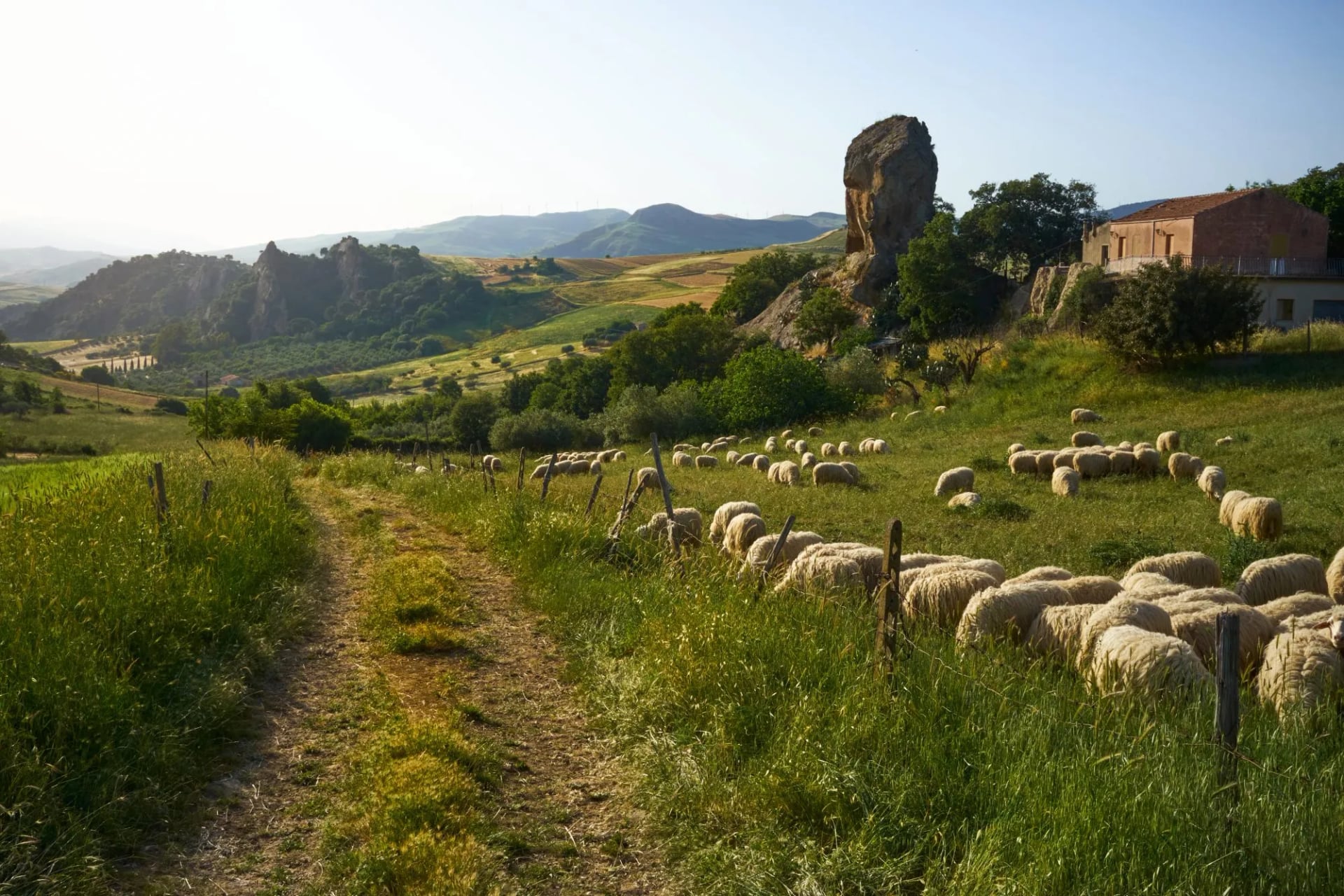
Sicilian walking accommodation isn't the alpine hut network. It's a mix of masserie (fortified farmhouses in the interior), bagli (courtyard farm complexes in the west), agriturismi, family-run B&Bs, and small hotels in the walkable towns. Masserie especially are worth building a night around — working farms with communal dinners built from whatever came out of the kitchen that day. Luggage transfers between overnight stops are standard on any organized itinerary.
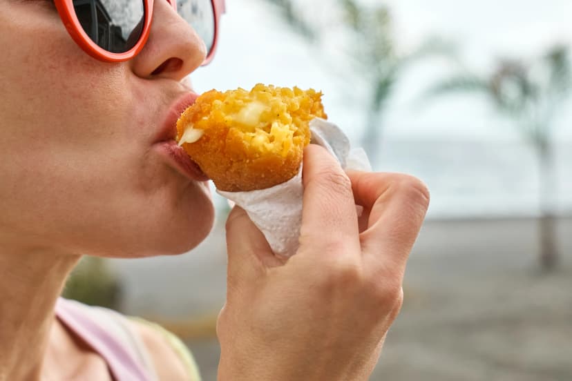
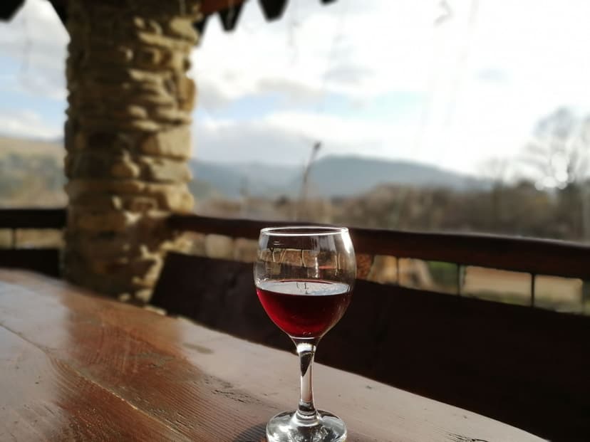
The food is inseparable from the walking. Three items anchor most meals on the island:
Getting There, Getting Around
Sicily has four international airports:
Catania Fontanarossa (CTA) on the east coast; the largest and the best gateway for Etna and the south-east
Palermo Falcone-Borsellino (PMO) on the north-west; the best for the Magna Via Francigena and the north-west coast
Trapani Vincenzo Florio (TPS) in the far west; the direct route to the Egadi Islands and Erice, and
Comiso (CIY) in the south-east; usually useful only for a Val di Noto week.
Trains and long-distance buses connect the coastal cities reliably. Where the network stops working is in the walking interior — Madonie villages, deep Val di Noto, and the Magna Via Francigena stages are all better reached by car or through a package that includes transfers. Options:
Book a supported tour with transfers and luggage transport included — most walkers do this rather than assemble the logistics.
Rent a car — practical for a mountain-park week where you're using one base and doing loop walks; keep in mind that many walled village centers are pedestrian-only with limited parking.
Combine train and taxi — workable for the classic Palermo–Cefalù or Catania–Taormina axes but not for interior work.
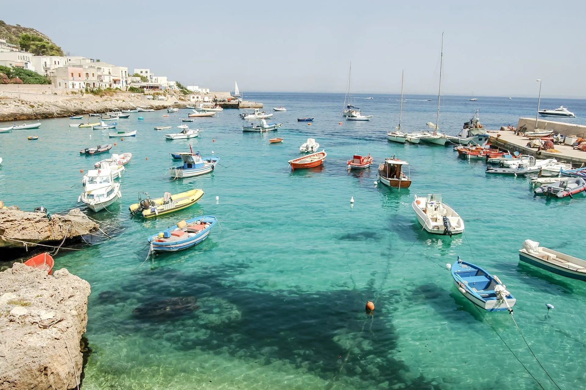
Ferries link Sicily to its offshore islands: Milazzo for the Aeolians (hydrofoil in 1–3 hours depending on target island) and Trapani for the Egadi (30–60 minutes). Both operate year-round with reduced winter frequency.
Ready to Walk Sicily?
Every route in this guide is one we run as a self-guided or lightly-supported trip. If you'd rather not spend time cross-referencing masseria availability, ferry timetables, and volcanological-guide availability, that's what we're here for — you walk, we handle everything else:
Vetted masseria, agriturismo, and hotel accommodation, booked and paid for in advance
Detailed digital guidebook with GPS files, day-by-day route notes, and altitude profiles
Luggage transfer between overnight stops
All required volcanological-guide bookings on Etna and Stromboli routes
24/7 on-trip support
For options in other parts of Italy, check our Italy hiking & walking tours or read our guides to Southern Italy and Northern Italy.

About this author
Ajda is our travel advisor, raised in a village surrounded by mountain peaks. Hiking entered her life early on and remains her favorite way to reconnect with nature.






.jpg&w=828&q=75)




















































.jpg&w=828&q=75)






















