Amalfi Coast Hiking: Steps, Heat and a Permit
Amalfi Coast hiking in ten routes: the Path of the Gods at 4.5 km, the permit you need for Valle delle Ferriere, and the 1,700 steps down into Positano.

Jon
Published September 8, 2026
Edited September 14, 2026
26 min read
Quick links
Most people picture the Amalfi Coast as a road. It is better understood as a network of staircases and mule tracks that linked the villages for centuries before the coast road was cut in the 1850s, and those paths are still the fastest way between a lot of places here.
That history is the reason the walking is good. The paths were built to be used daily by people carrying things, so they are paved, graded and shaded more often than you would expect on a coastline this steep.
It also explains the coast's one real difficulty, which is not gradient or exposure but the sheer number of steps. A day here can involve more descent on stone stairways than a comparable Alpine stage.
The ten trails below are the ones worth your week, each with the grade, height gain and timing published by the regional park rather than copied off a blog. The wider region sits in our guide to hiking in southern Italy.
Best Hikes on the Amalfi Coast
The Amalfi Coast hiking trails split into three kinds, and knowing which is which saves a wasted day.
There is the famous balcony path along the cliffs, the wet green valleys running inland from Amalfi, and the summits of the Monti Lattari behind the coast, which almost nobody walks.
Picking between them is mostly a question of how much climbing you want. The balcony paths stay level for long stretches, the valleys are cool and short, and the summits are a different holiday altogether.
The through-route that ties them together is the Alta Via dei Monti Lattari, which runs the length of the range and finishes at Termini on the Sorrentine peninsula. Very few visitors walk any of it, which tells you how completely the coast path dominates people's plans.
Path of the Gods: The Real Route
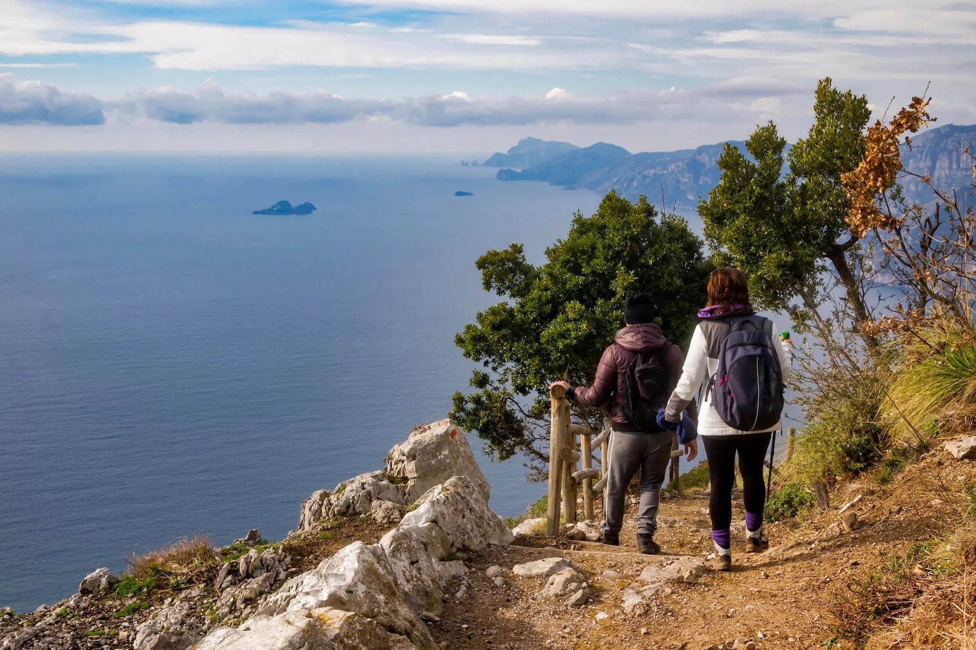
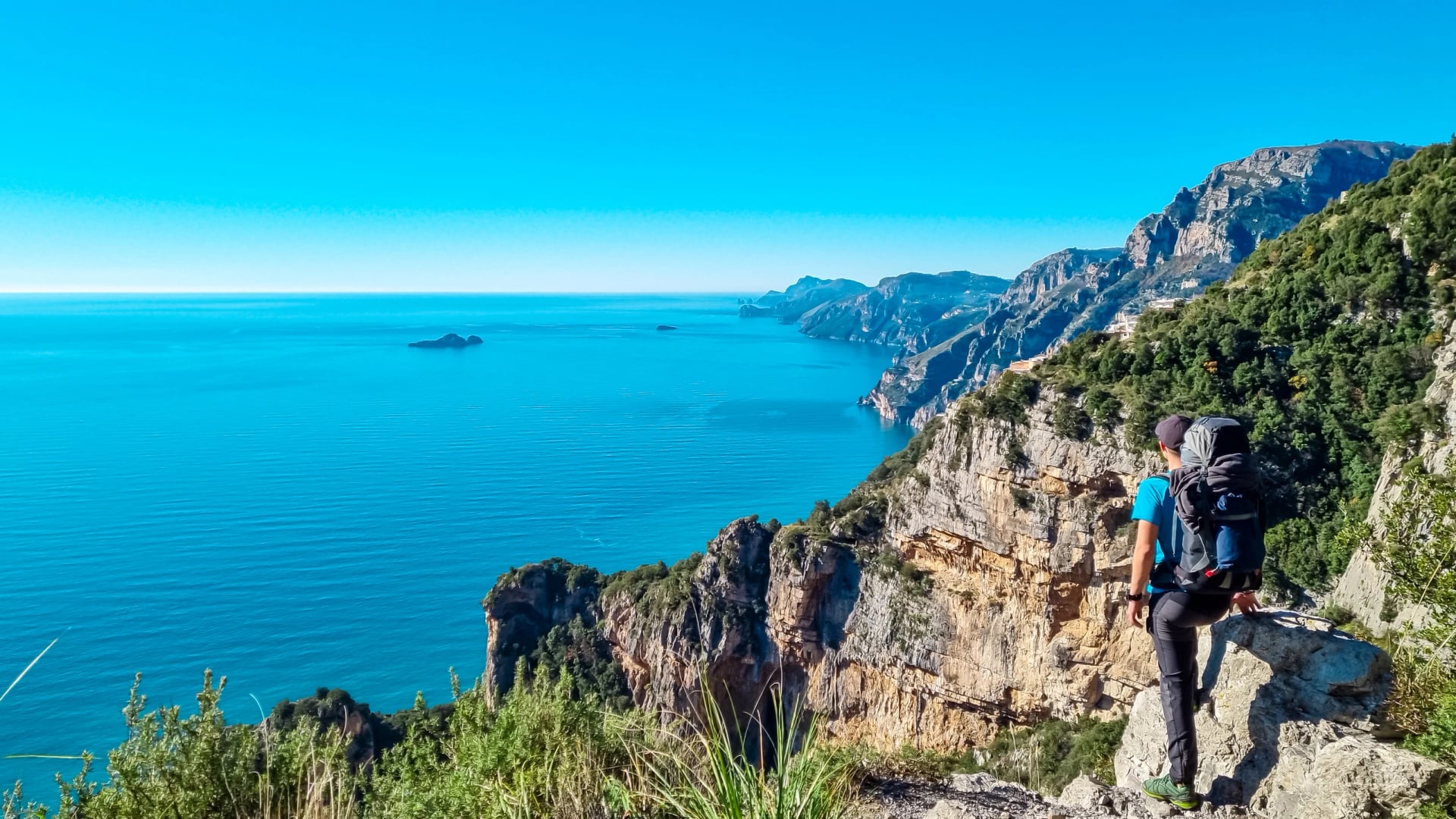
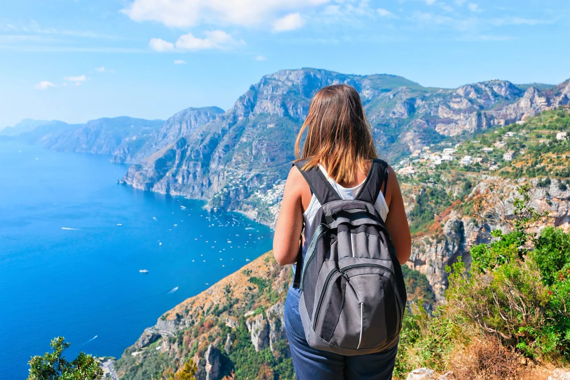
The Sentiero degli Dei is the reason many people come, and it earns it. The path runs along a shelf several hundred metres above the sea from Bomerano, a hamlet of Agerola, west to Nocelle above Positano, with Capri sitting on the horizon for most of the way.
The Ente Parco Regionale dei Monti Lattari waymarks it as CAI 27, starts it from Piazza Paolo Capasso in Bomerano and grades it E, easy with exposed sections. That grade is accurate. There is no scrambling and no navigation problem, but there are places where the drop is immediate and a nervous walker will not enjoy them.
Both halves of that label come from the Club Alpino Italiano, the national mountaineering club that has marked and numbered Italy's footpaths since 1863. CAI 27 is this path's number, painted on rocks and signposts the whole way along, and the same system gives you CAI 23 up the Ferriere valley and CAI 36 along the Faito ridge.
The letter is the difficulty grade, and there are four of them. T, turistico, is a wide obvious track with no route-finding in it. E, escursionistico, is ordinary mountain walking on marked ground, where any exposed or rocky stretch stays short and is usually protected, and that is where the Path of the Gods sits. EE expects an experienced walker on steep or faint ground where the waymarks thin out. EEA means a via ferrata kit, harness and helmet included. Nothing described on this page asks for that.
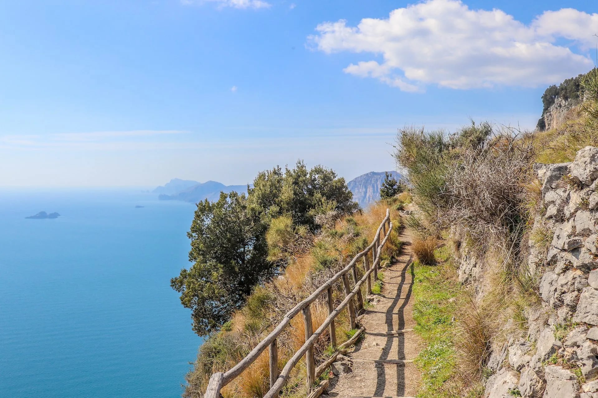
The numbers are where the internet misleads. The commonly copied figure of 7.8 kilometres includes the descent into Positano. The park's own markers read 4.5 kilometres at Nocelle, total descent is 638 metres, and only 220 metres of that falls between Bomerano and Nocelle. The park allows four hours.
Landmarks come in a fixed order. A wooden bridge, then the Grotta Biscotto at 588 metres, where there is a drinking-water spring and where the branch up from Furore joins. Colle la Serra at 578 metres carries the junction with CAI 19, which drops to Vettica Maggiore and Praiano in about an hour and a half.
There is a second way on. The branch the park numbers CAI 27 also climbs from Furore, starting at the tenth kilometre of the SS 366, and joins the main line at the Grotta Biscotto. It skips the Bomerano bus queue and adds the climb instead.
Past the 1,300 metre marker the path climbs right and stays exposed for over a kilometre, the stretch the park singles out for care with children. Picnic tables at Cannati make the obvious stop, and there is a fountain at Nocelle before the descent.
Then the staircase. The park counts 1,700 steps from Nocelle down to Positano, 420 metres of descent, and that is the part that hurts rather than anything on the shelf above. A local bus runs the same stretch and taking it is not cheating. Walk west to east and you climb those steps instead, harder work and much easier on the knees.
Valle delle Ferriere
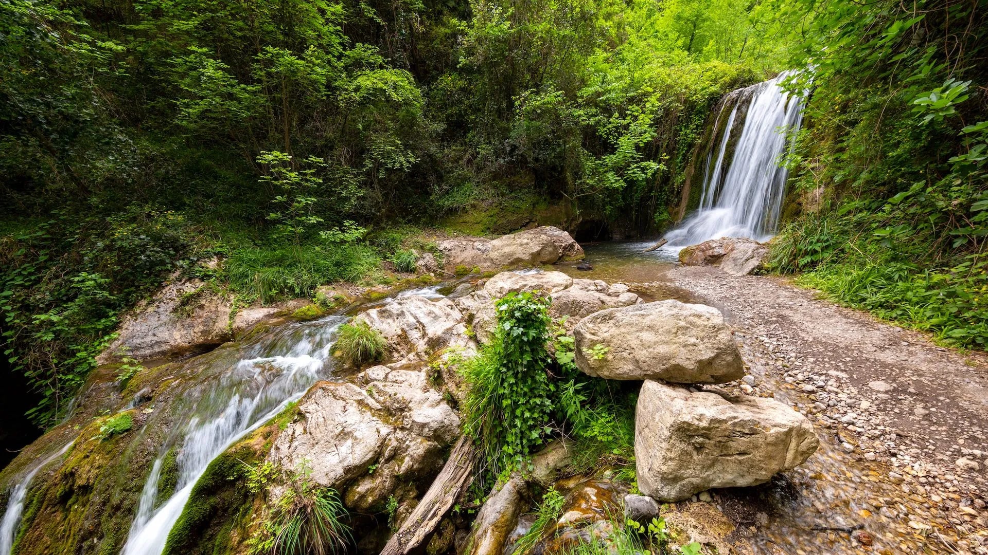
Inland from Amalfi the Valle delle Ferriere is the coast's best surprise, a wet gorge with waterfalls, a ruined ironworks and a microclimate left over from a warmer geological age. It holds Woodwardia radicans, a tree fern whose lineage goes back to the Tertiary, surviving here in the damp shade.
The catch is access. The reserve covers 450 hectares in the comune of Scala, is managed by the Reparto Carabinieri Biodiversità Caserta, and is visitable only on a booking lodged in advance with the Comune di Scala, with a ticket paid on entry. The core zone protecting the fern is closed to visitors outright.
Walkers turn up here expecting an open trail and are turned back. If the valley matters to you, arrange the booking well ahead or take a trip that arranges it as part of the week.
The park's route starts at Piazza San Giovanni in Pontone, joins CAI 23 coming up from Chiorito and climbs about 300 metres, four hours including the reserve visit. The valley is closed in by Monte Cervigliano at 1,203 metres and three lower tops, and it stays cold in high summer, so carry a layer for the spray.
The park adds a second instruction that people miss: contact the visitor centre at Pontone before setting out, not just the comune.
Valle dei Mulini and the Ziro
Two short walks share the Pontone trailhead and make the best arrival day on this coast. The Valle dei Mulini follows the same CAI 23 as the reserve approach, past the ruins of the paper mills that made Amalfi wealthy, with the huge ruined ironworks arching over the stream and a waterfall falling through the arch.
From the ferriera, CAI 25 runs back down to Amalfi entirely downhill and entirely in shade, the detail that makes this the right choice when a flight has eaten your morning. The Museo della Carta in town explains what you have just walked past, and Amalfi still makes handmade paper on the strength of it.
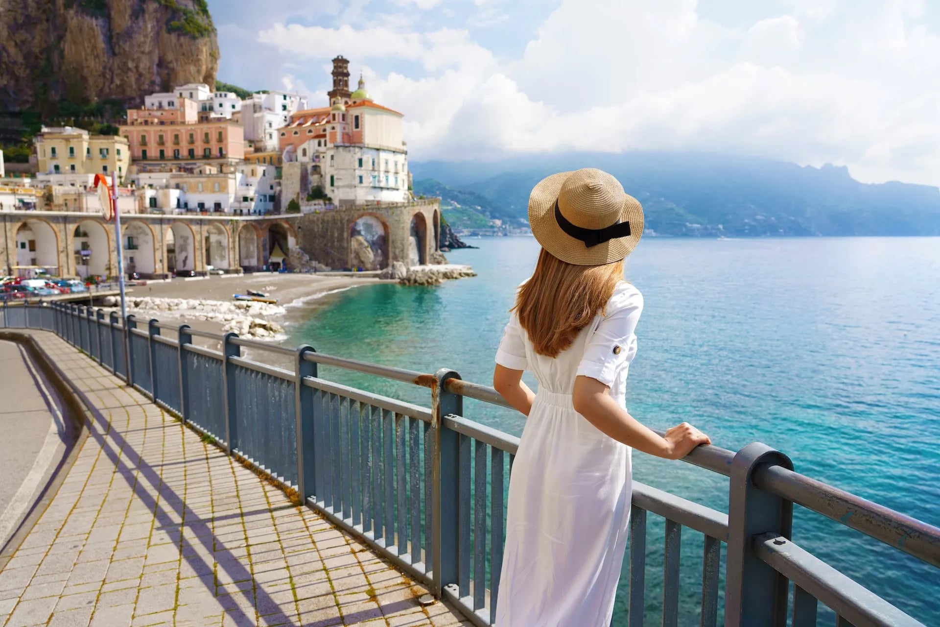
The other is the Torre dello Ziro, on the rock spur dividing Amalfi from Atrani. The tower appears in the record in 1151 as the Rocca di San Felice and as Turris cziri from 1292, and it is reachable on a well-kept path from Pontone or on foot down from Ravello.
Local tradition has Giovanna d'Aragona, widowed Duchess of Amalfi, walled up here with the children of her secret second marriage, which is the story John Webster turned into a tragedy. The park's account notes the tower has no doors, which is why the story stuck.
Monte Molare: The High Point
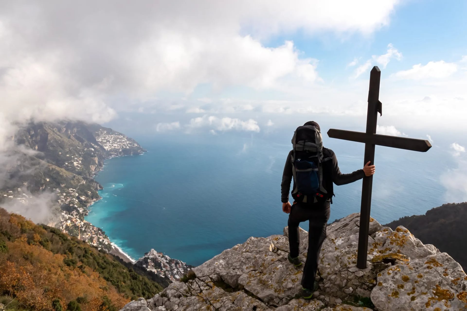
Behind the villages the Monti Lattari rise fast, and Monte Molare reaches 1,444 metres, the highest summit in the range. The park gives its other name as Pizzo San Michele, which is why our own mountain week calls the day Monte San Michele. The name to avoid confusing it with is the Santuario di San Michele, a separate point at 1,278 metres on the ridge below.
The standard approach uses the Faito cable car, eight minutes from Castellammare di Stabia to a top station at 1,102 metres and closed for the winter. From there CAI 36 runs the crest past Monte Faito at 1,131 metres, Vene Falconea and Porta di Faito to the sanctuary in two hours, and CAI 50 continues to the summit.
Drivers can cut it short. The park itinerary puts the summit two hours from the quarry yard above Vico Equense with only 200 metres of climbing, against six hours and 300 metres from the cable car, each way. Waymarking is CAI blazes plus big red arrows painted with the letter M. The path passes the Acqua Santa, a spring under an overhanging wall that is the only reliable water up here.
This is proper mountain walking with a coastline underneath it, and it is almost entirely free of crowds. The reward is the only view here showing both gulfs, Naples on one side and Salerno on the other. The path skirts the crumbling walls of Monte Catiello at 1,326 metres, which is sometimes closed for rockfall, so check before committing.
Sentiero dei Limoni to Ravello
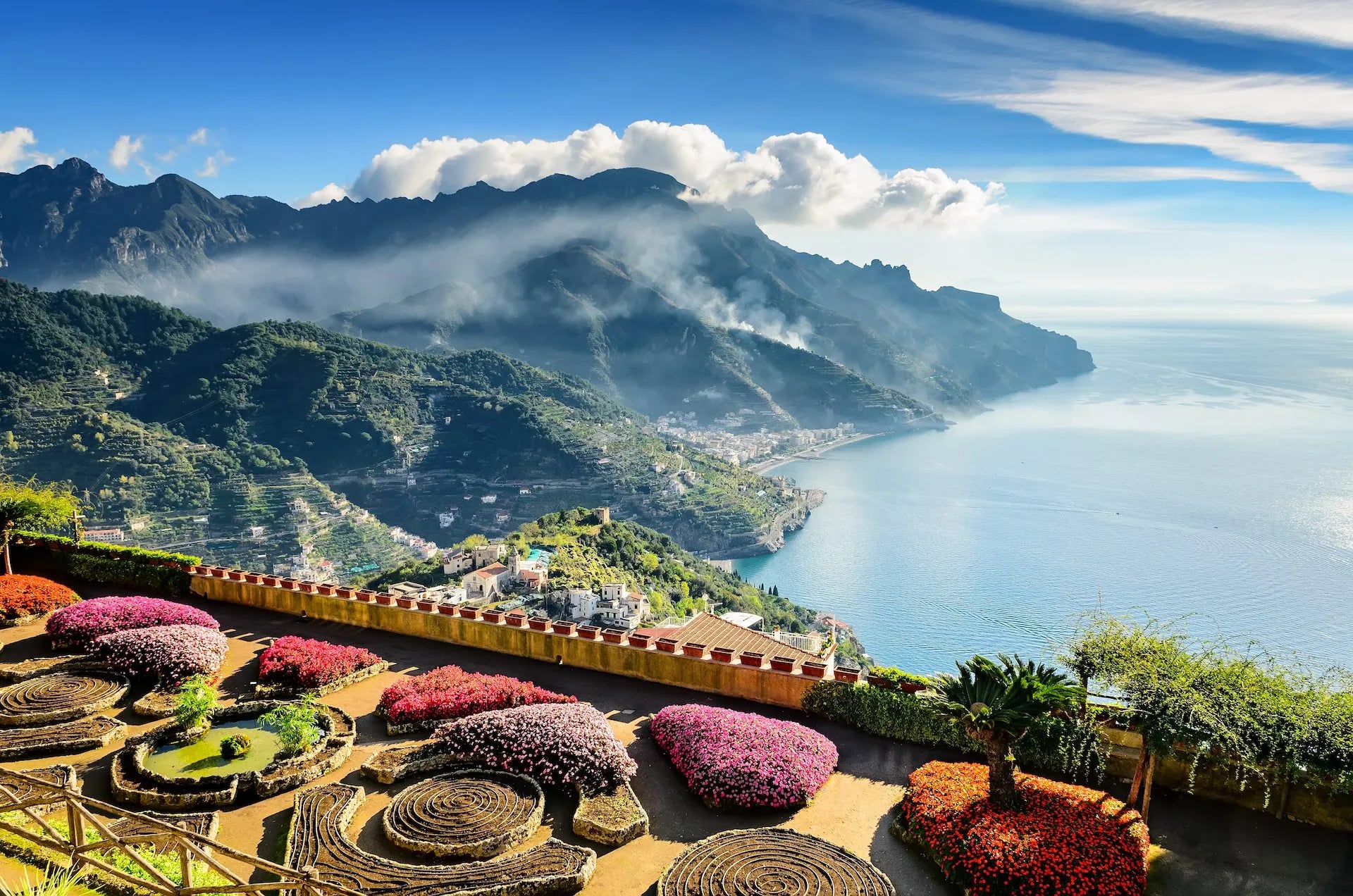
The lemon path is the gentlest half day on the coast and the one that best explains the terraces. It leaves Maiori by the Scala Santa, passes the church of Santa Maria a Mare and climbs through Via Vena, the oldest part of the town, where the view back over the roofs opens all at once.
The church takes its name from a statue found on the Maiori beach in the 1200s, and this path is full of that sort of detail.
A long stairway does the work up to the Convento di San Nicola. After that the park's route eases off and curls round the head of the valley to Ravello, where Villa Rufolo and Villa Cimbrone are the obvious reason to stop. Walked in this direction the climbing is front-loaded and the last hour is nearly level.
Santuario dell'Avvocata
This is the coast's pilgrimage route, up to a sanctuary set against a rock face on Monte Falerzio above Maiori, and the only walk here with a navigation catch. Two approaches exist: the mule track from the Badia di Cava, which is longer but much easier, or the stairway straight up from Maiori, shorter and considerably steeper.
The Cava line passes the Capodacqua spring at 570 metres and Cappella Vecchia at 683 metres, then traverses for over a kilometre with almost no height change before climbing to a saddle at 937 metres. Fit walkers add the summit of Monte dell'Avvocata at 1,014 metres on the way back.
The catch is in the park description: the CAI blazes stop at the first saddle, and the last stretch to the sanctuary is unmarked. That is the one route on this page where a downloaded track earns its keep.
Santa Maria al Castello Pass
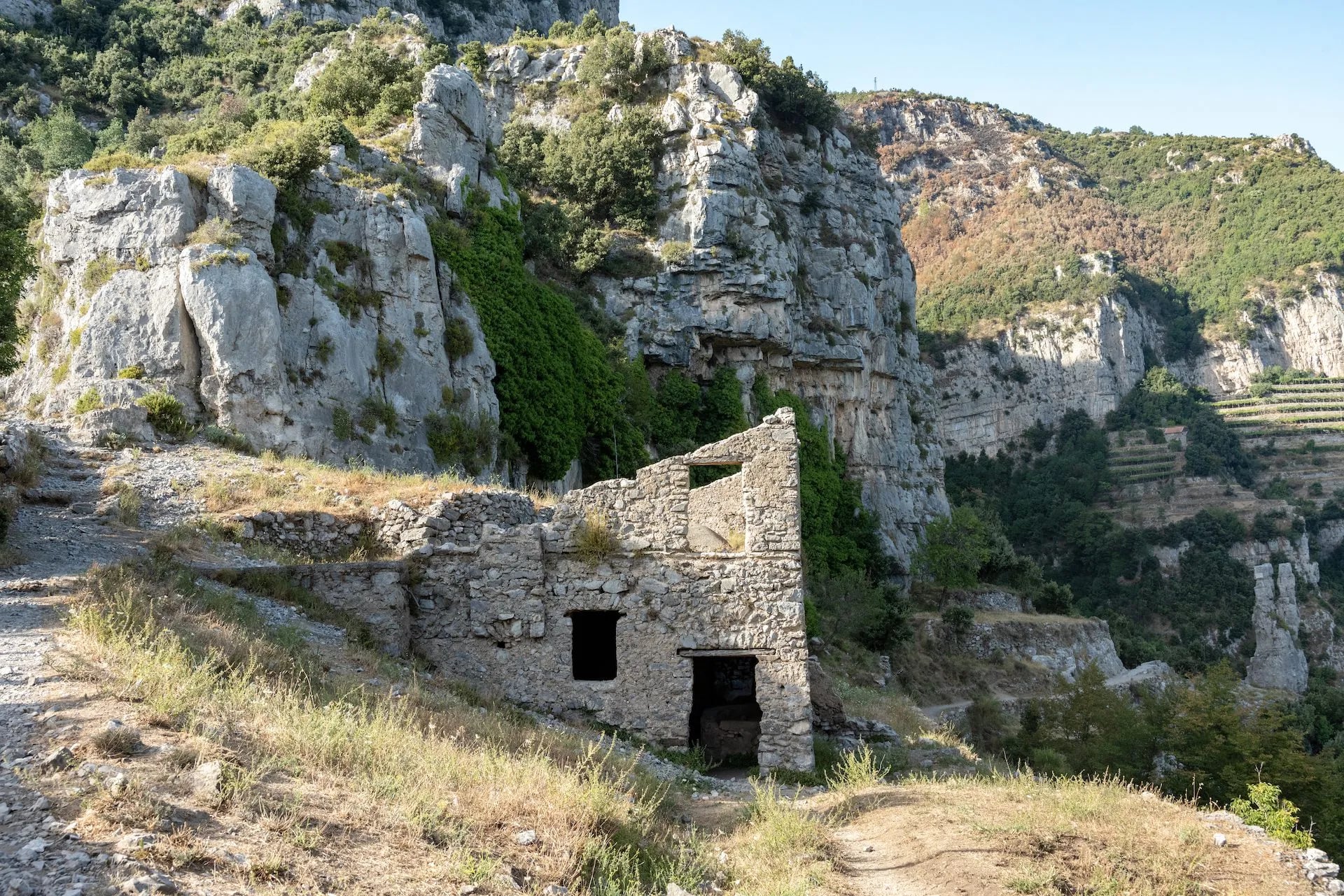
The 670 metre pass above Positano was for centuries the only land route between Vico Equense and the coast, and it is now the busiest crossroads for walkers in the range. The Alta Via crosses it, and from here you can reach Monte Faito, the Conocchia and the Molare by their southern flanks, or Bomerano over Capo Muro.
Four traditional paths drop from the ridge to Positano. The park rates Le Tese as the best kept and most used, with close to 500 metres of descent at a steady gentle angle, and warns off only the Valle Pozzo line.
Of the rest, two drop to Corvo on the coast road and two run through Montepertuso and Grado. All are in decent order except the Valle Pozzo line.
Continuing west instead takes you over Monte Comune, old Vico Equense farmland, for the view of Positano exactly opposite the Path of the Gods. The high meadows are still grazed by Agerolese cattle, the breed behind Provolone del Monaco, and about four hours brings you to the Sant'Agata junction and a SITA bus either way.
I Tre Calli Above Agerola
Three tops in a line on the ridge west of Agerola, and a steady climb rather than a stroll. The reward comes at about 1,100 metres on the Capo Muro plateau, marked by a wind-cut rock the locals call the Fungo di Roccia, with the Gulf of Positano on one side and the whole of Agerola on the other.
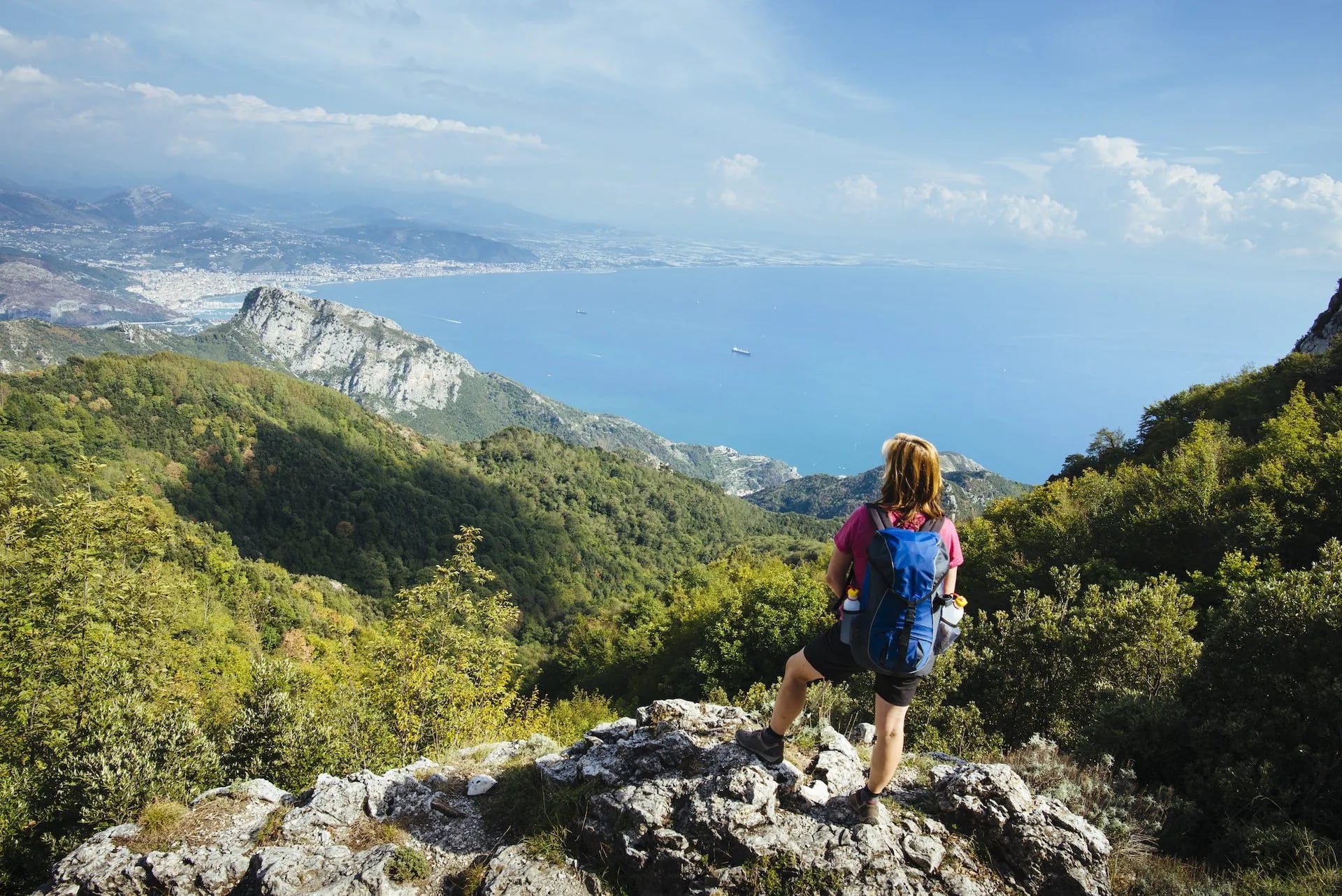
The name is a local one, coined for the three humps that give the ridge its outline, so it does not appear on every map. The park's advice is worth taking literally: the slope faces east, so walk it at dawn in summer and you get the shade, the quiet and the light together. The neat return drops left from Capo Muro past the Casino di Paipo to rejoin the road.
Punta Campanella and Ieranto
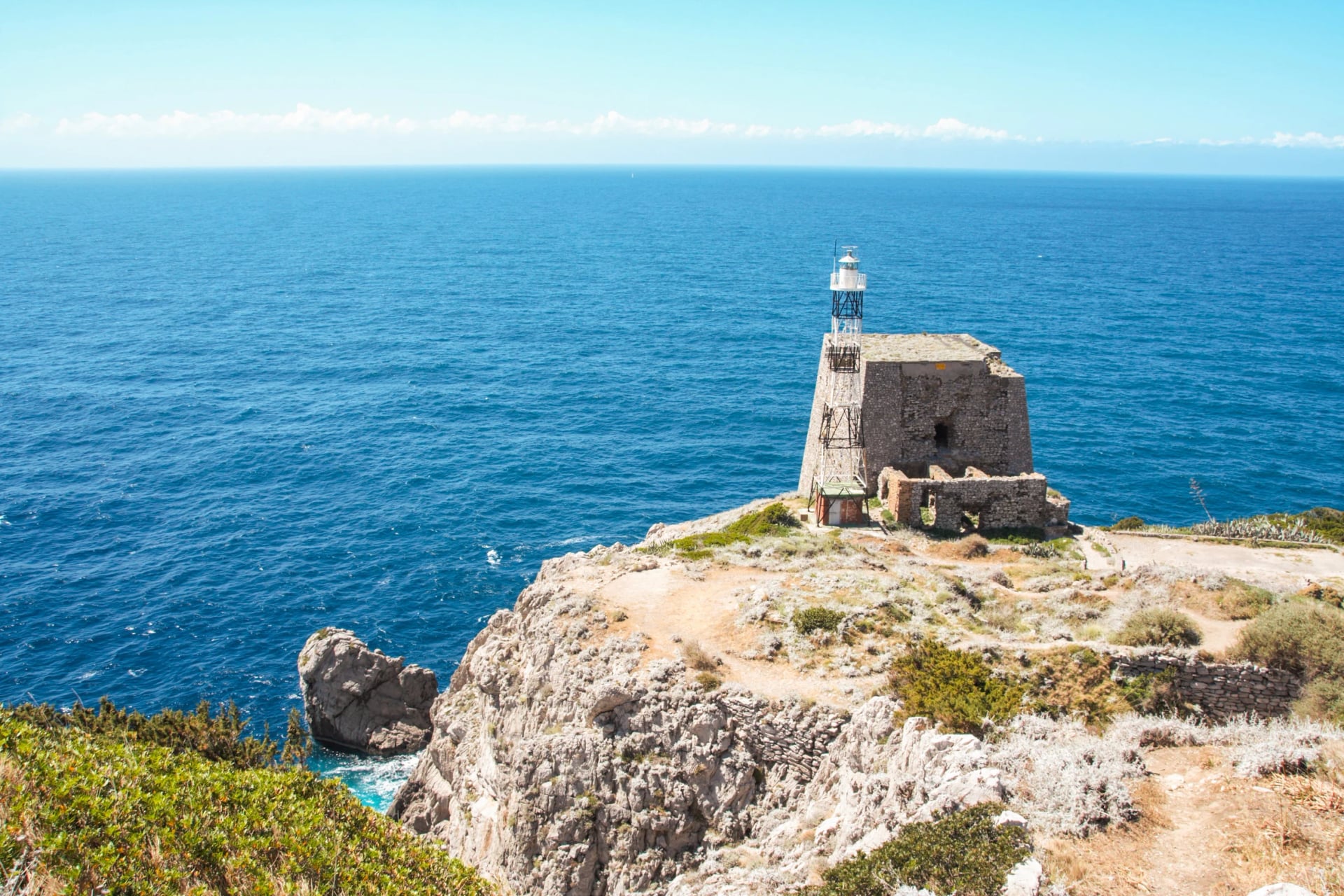
The last section of the Alta Via, out on the tip of the peninsula, is the walk that gets furthest from the crowds. CAI 00 leaves Termini and reaches the Torre della Minerva in about half an hour, then the lighthouse, forty metres above the sea facing Capri and its Faraglioni.
Below the lighthouse a narrow cleft in the rock drops to the Grotta di Minerva, cut by waves into the debris at the foot of the wall, and Mitigliano sits round to the north.
The park itinerary gives three lengths: two hours to the lighthouse and back, four over the 497 metre summit of Monte San Costanzo, six if you drop to the Baia di Ieranto and climb out again. That last descent is 500 metres, and there is no bus at the bottom.
Ieranto is the payoff, a cove held between limestone walls inside a no-take marine reserve, reached on CAI 39 down from Nerano. The whole coast from Vico Equense to Positano has been a marine protected area since 1997, and recent digs near the point have turned up a Roman paved road and a villa.
Capri on Foot
Capri has a reputation for boats and shopping, and the walking on it is better than that suggests once the day trippers concentrate around the Piazzetta. Paths lead out to the natural arch and the Faraglioni, and up to the Monastery of San Giacomo.
The island needs a full day taken from Positano by ferry rather than squeezed around a morning boat trip. Walking is how you leave the crowds, which on Capri happens within about twenty minutes of the port.

How Hard Is Amalfi Coast Hiking
As multi day hiking goes this is a gentle destination by gradient, and considerably harder than people expect by steps. Nothing here requires technical skill or a head for heights beyond tolerating a few exposed shelves, and the paths are largely stone-paved and well waymarked.
The three things that actually make a day difficult are the stairways, the heat and the exposure to sun. Our own Amalfi trips run from fitness 1 out of 5 up to 4, and the difference between them is almost entirely how much climbing you sign up for.
Best Time to Hike the Amalfi Coast
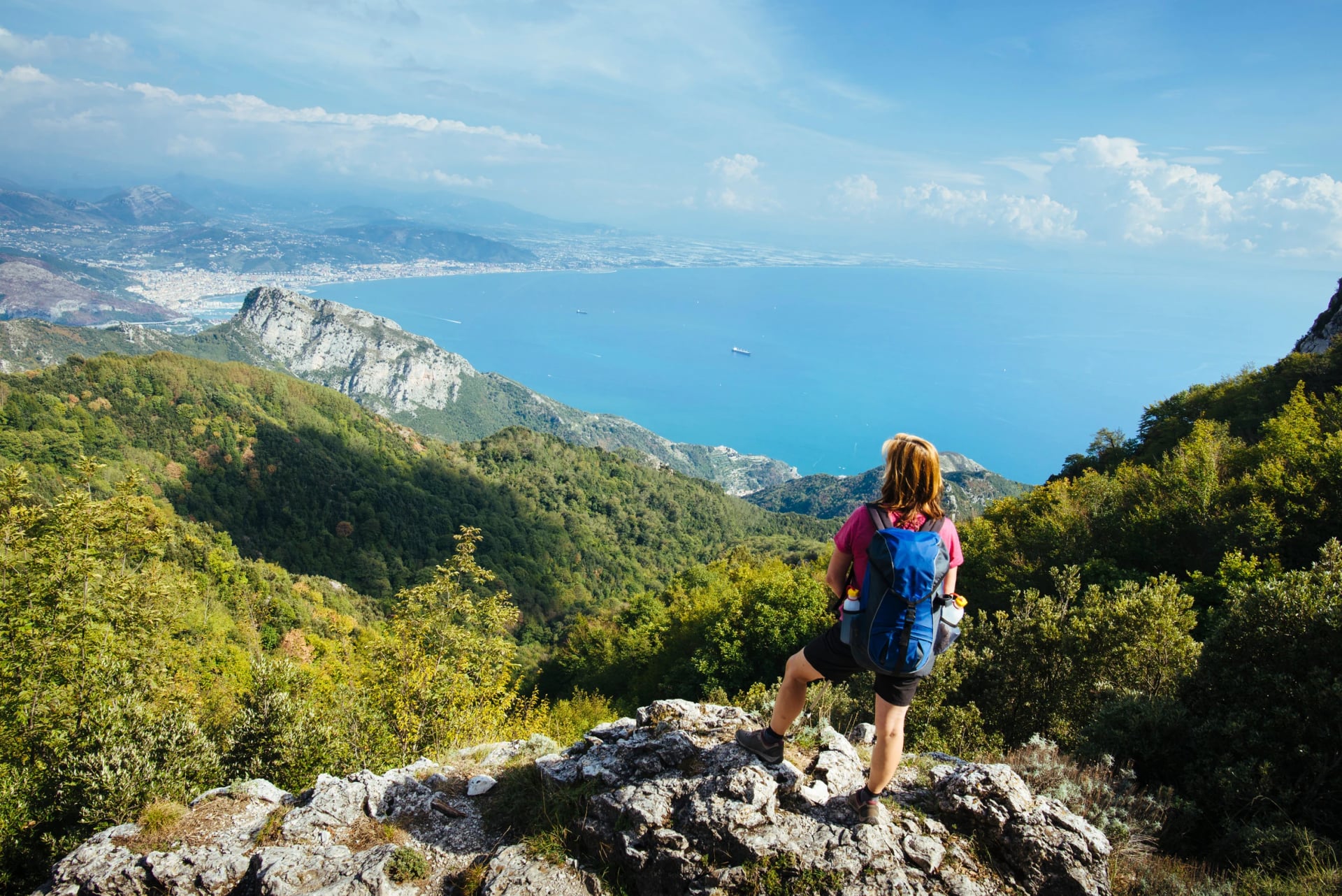
There are two good windows and one to avoid. April to early June is the best of it, with the terraces green, the lemon crop on the trees and temperatures that let you walk through the middle of the day.
September and October are the other window, warmer in the sea and quieter on the paths, with the light going gold through October. Rain becomes a real factor by late October, when the stone paths turn slick.
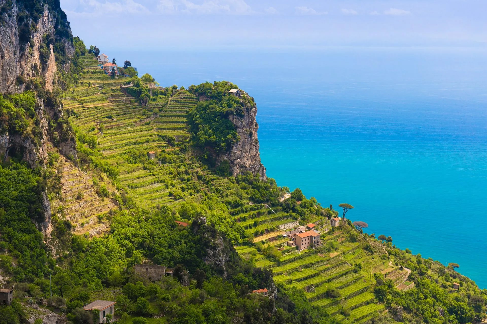
July and August are hot, crowded and expensive, and the heat is the practical problem rather than the crowds. Shade is scarce on the balcony paths, the stone throws heat back at you, and an early start stops being advice and becomes the only way to walk comfortably. Both shoulder seasons suit a self-guided trip if you would rather set your own pace.
Winter walking is underrated on the low coastal paths, but the higher routes get wet, the Faito cable car shuts and the village bus timetables thin out.
Trail Markings and Navigation
There is no one Amalfi Coast hiking map that everyone here uses, which is why most people arrive with a phone and a screenshot. The waymarking is better than that suggests. Paths carry CAI white-and-red blazes and numbered signs, and the numbers in this guide are the ones painted on the rock.
Two routes are marked unusually well. The Sentiero degli Dei has distance markers every hundred metres, which is how the 4.5 kilometre figure at Nocelle is known, and the Faito approach adds large red arrows painted with the letter M on top of the standard blazes.
Two are marked badly enough to matter. The blazes to the Avvocata sanctuary stop at the last saddle, and one of those four descents from Santa Maria al Castello is in poor condition. Carry a downloaded track for those two and you can navigate the rest on signage alone.
The park publishes its itineraries and a WebGIS layer through the Ente Parco Regionale dei Monti Lattari, which is the authority for closures as well as routes. Landslides shut paths here every wet season, so check the current state rather than trusting a map printed last year.
Where to Base Yourself
Amalfi itself is the most practical base, because the valleys start at the back of the town and the bus and ferry links are the best on the coast. It is the only base with two walks leaving directly from it.
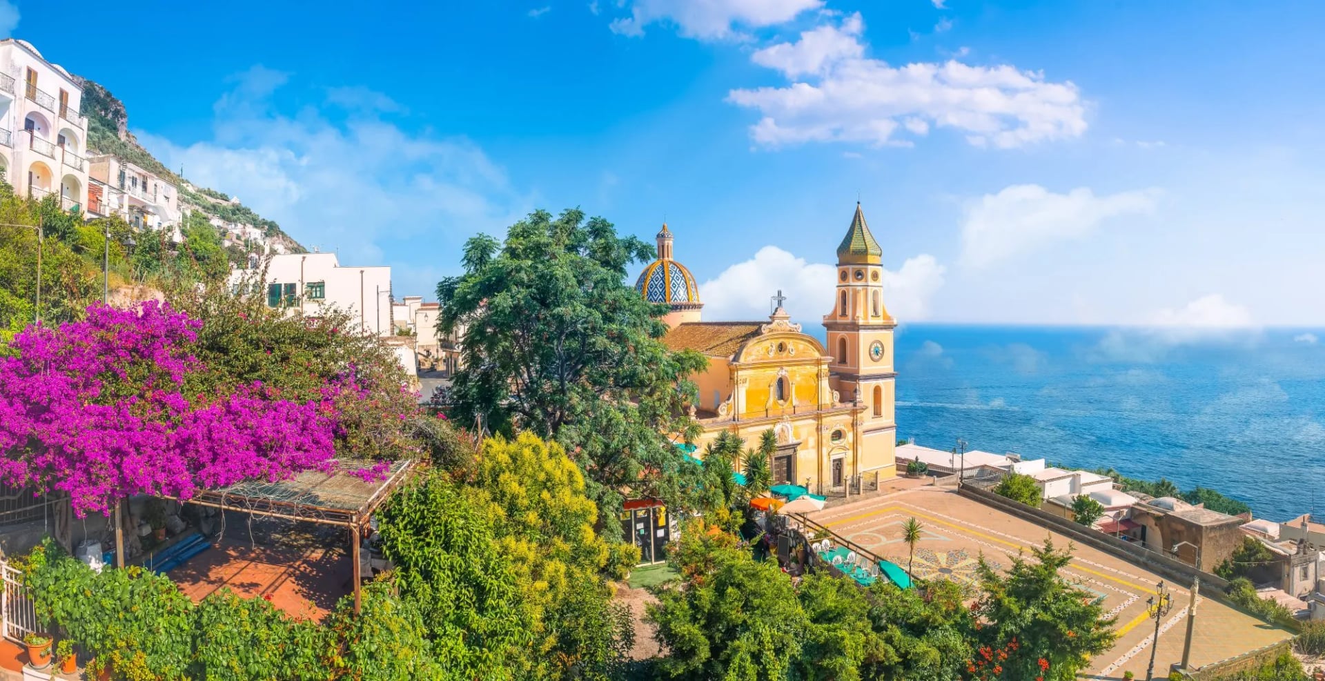
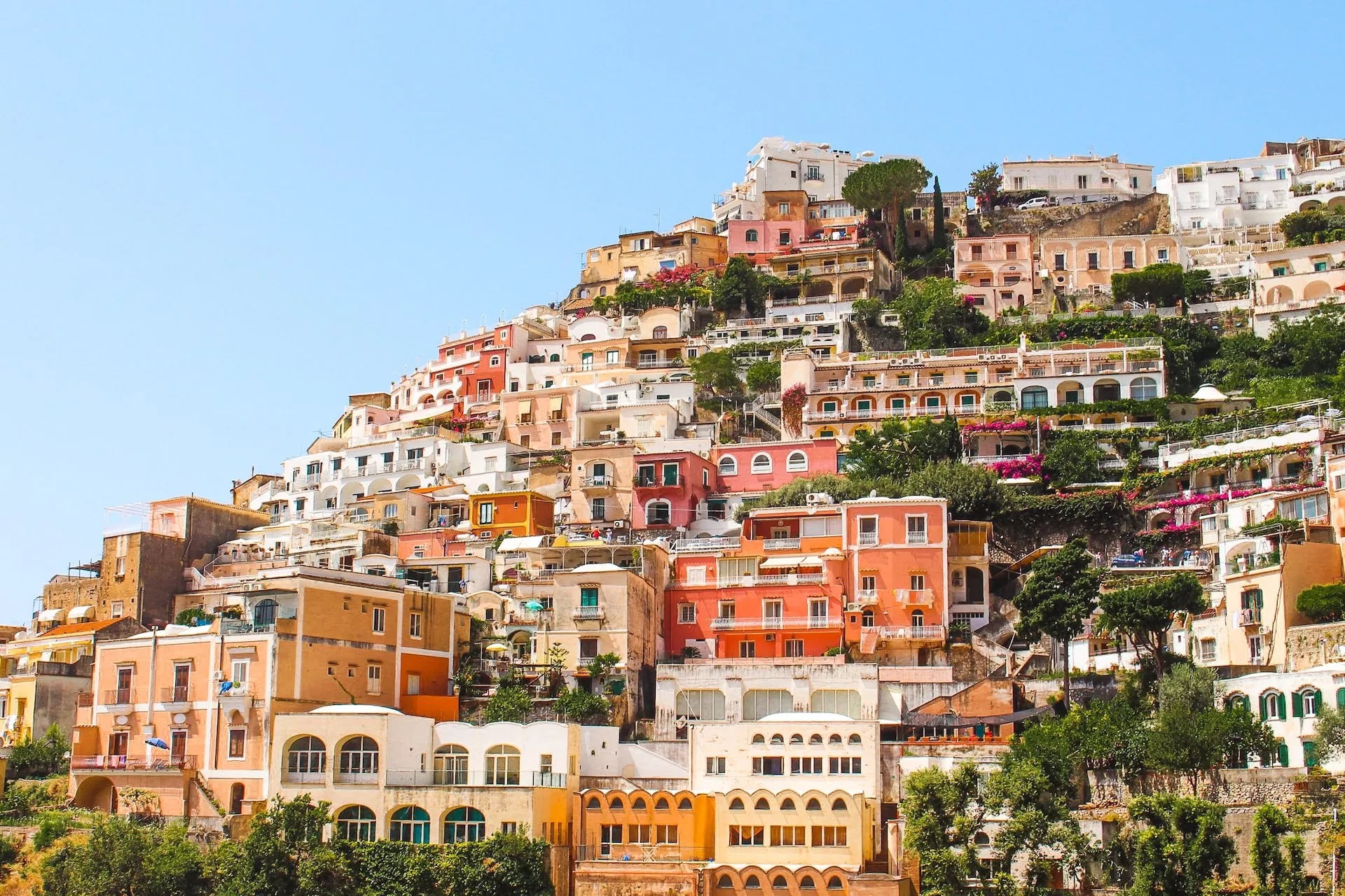
Praiano is the quiet choice and sits closest to the Path of the Gods, with far fewer day visitors than its neighbours. Positano is the postcard and the problem, beautiful and steep, with every arrival and departure involving stairs and a crowd.
Ravello sits high above Amalfi, cooler in summer and quieter at night, and is the pick for gardens over harbour life. For a trip that pairs this coast with elsewhere in the country, the hiking in Italy page lists every Italian week on offer.
Getting to the Amalfi Coast
Naples is the arrival point for nearly everyone. From the airport or the main station, the coast is reachable by ferry in the season, by SITA Sud bus via Sorrento or Salerno, or by rail to Salerno and a ferry from there.
The ferry is worth choosing where it runs. It avoids the coast road entirely, which in summer moves at walking pace, and arriving by sea is the right introduction to a coastline built to be seen from the water.
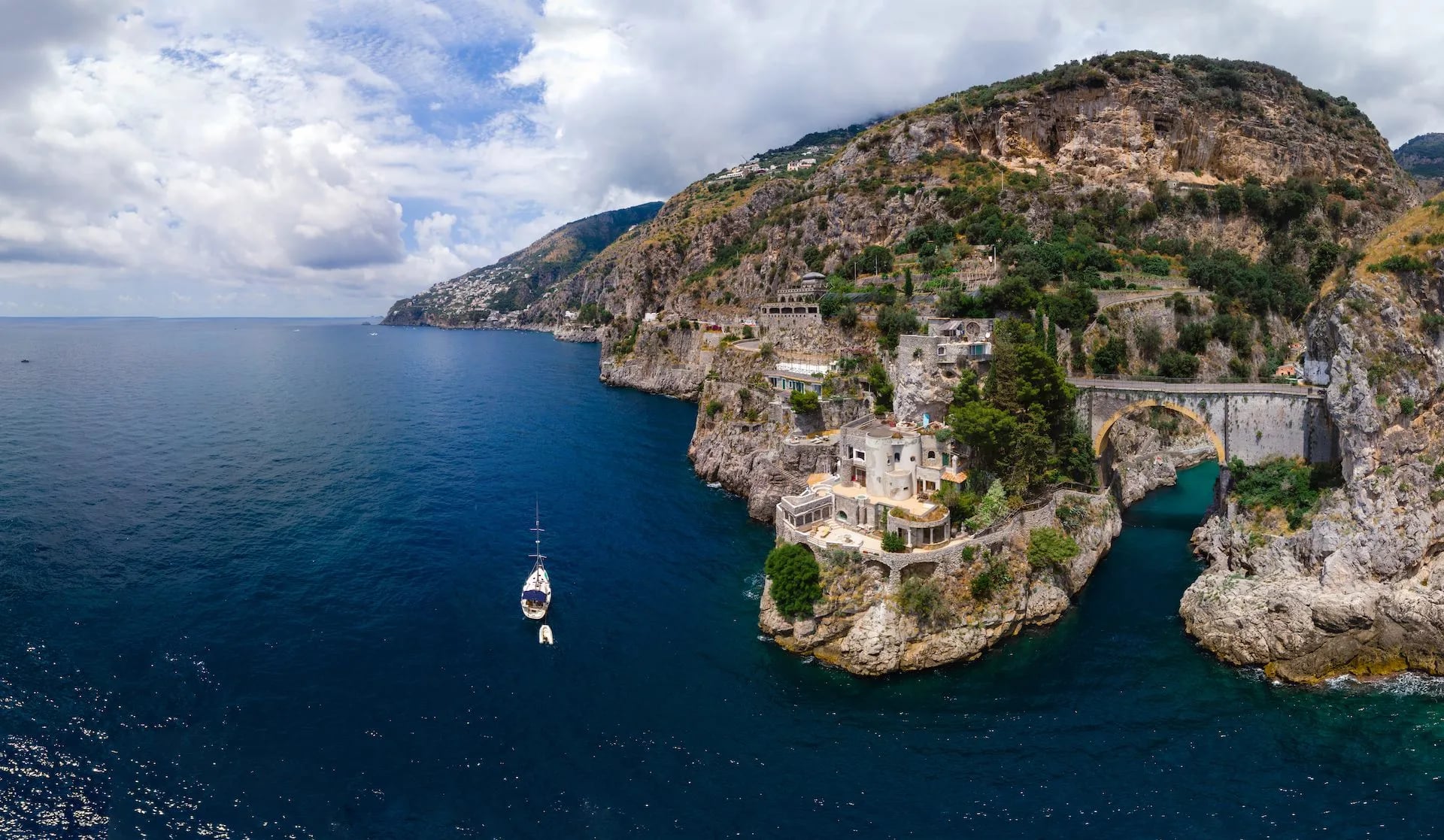
Trailheads need their own plan. Bomerano is reached by SITA bus from Amalfi or Castellammare, or by eleven kilometres of hairpins up from Vettica Minore, and Pontone is a kilometre uphill from where the Ravello bus drops you.
If you arrive late, stay in Naples or Salerno for the first night rather than fighting the last connection. Buses along the coast are frequent but slow, and luggage on a crowded bus is the single most complained-about part of arriving here independently.
Getting to the Trailheads
Bomerano is the one that catches people out. SITA Sud buses climb there from Amalfi and from Castellammare di Stabia, or it is eleven kilometres of hairpins up from Vettica Minore if you have a car.
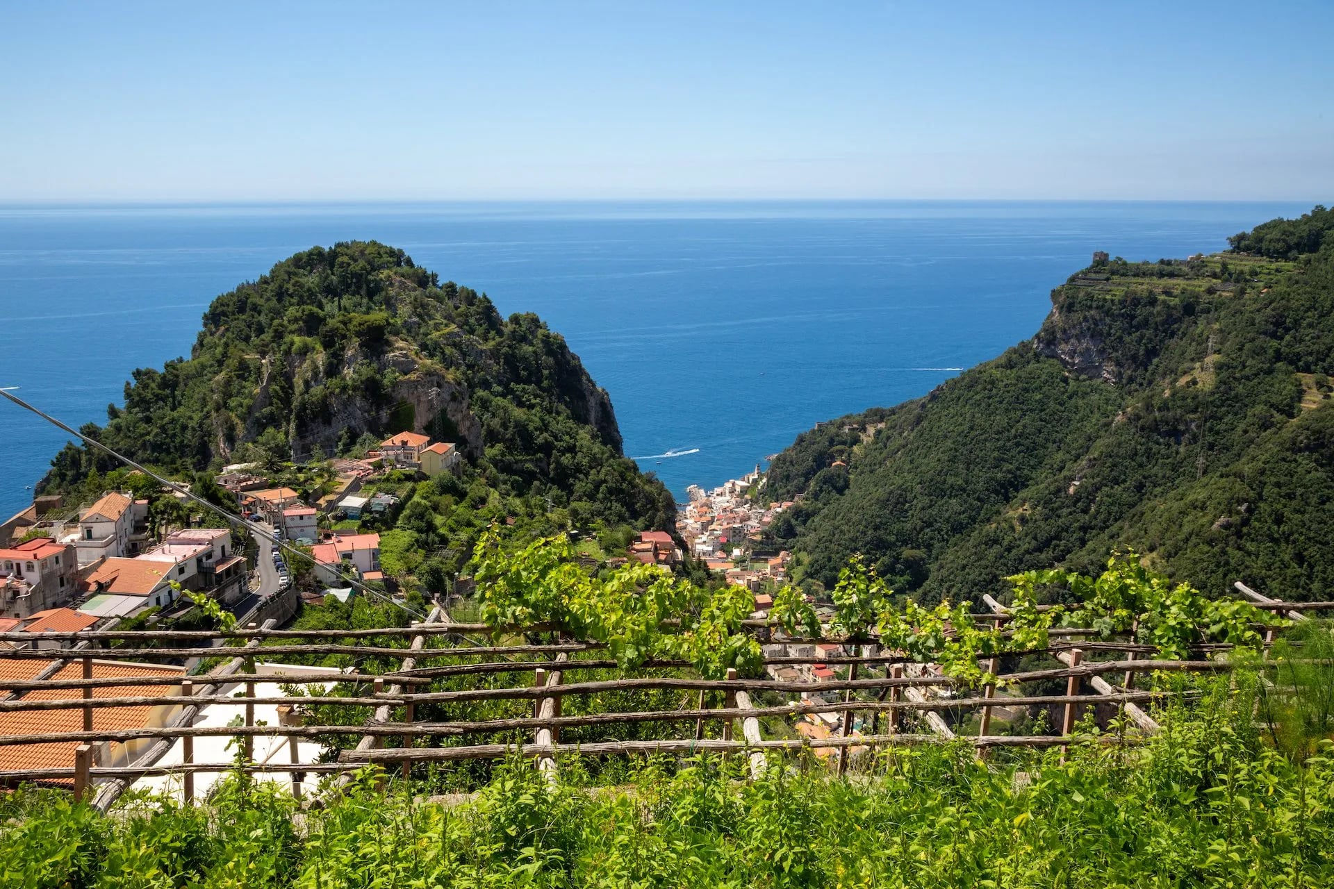
Pontone, for both valley walks, is a hamlet of Scala and sits about a kilometre uphill from the junction where the Ravello bus drops you, unless you pick a service that runs into the village itself.
Coming from the south, SITA buses reach Amalfi from Salerno and then climb towards Ravello. Both valley routes start from Piazza San Giovanni in the middle of Pontone, so that square is the address to aim for rather than Scala or Amalfi. Termini, for Punta Campanella, means Sorrento first and then a local bus.
The Faito trailhead is the odd one. You take the Circumvesuviana to Castellammare di Stabia and then the cable car, which climbs to 1,102 metres in eight minutes and shuts for the winter every year.
Buses, Trains and Ferries
SITA Sud runs the coastal and mountain buses and is the timetable that matters most here. EAV operates the Circumvesuviana line from Naples to Sorrento and Castellammare.
Trenitalia covers the mainline into Naples and Salerno. For the water, Travelmar and Alicost run the coastal and island ferries in season, and timetables thin out sharply from November.
What to Pack for the Amalfi Coast
Footwear is the decision that matters. Grippy soles beat ankle support here, because the ground is worn stone and polished rock rather than loose mountain trail, and a trail shoe with a proper tread outperforms a stiff boot on staircases.
Sun cover is equipment, not comfort. A hat, long sleeves and more water than you think, because refill points are village-only on the balcony paths and there is no stream water worth drinking on the coastal routes.
Walking poles are more useful here than their reputation suggests, specifically for the descents. Knees do the suffering on this coast, and poles take a real share of the load off the long staircases.
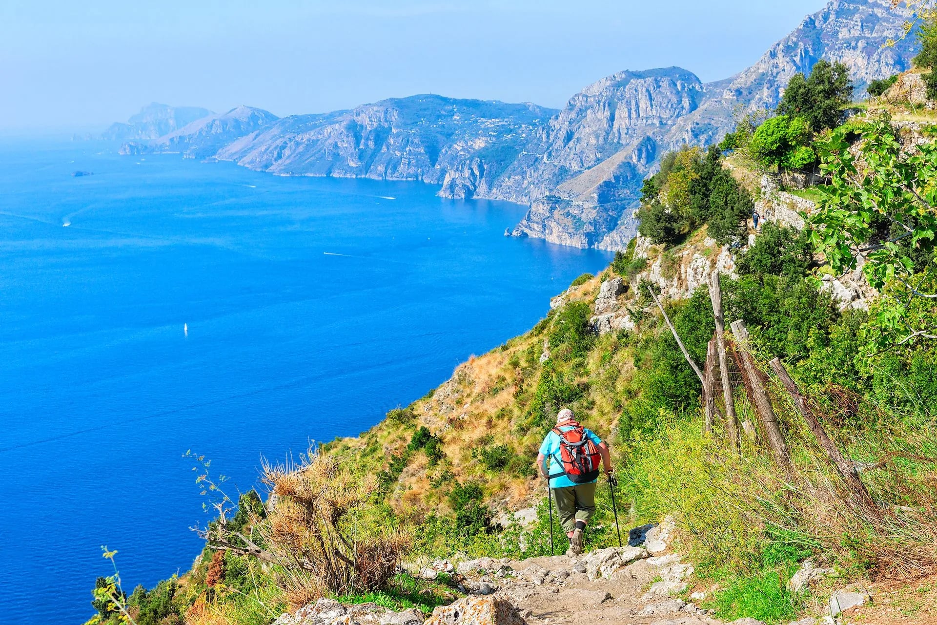
One layer more than the forecast suggests. The Ferriere gorge is cold and wet in August, and the summits catch wind that the coast never feels.
Food, Water and Resupply
Water is the one thing to plan. Villages have public fountains and the paths mostly do not, so fill up in the last village before any balcony section. There is no stream water worth drinking on the coastal routes.
Three exceptions are worth knowing. The Grotta Biscotto has a drinking spring 588 metres up on the Sentiero degli Dei, there is a fountain at Nocelle before the staircase, and the Faito approach passes the Acqua Santa, a spring under an overhanging wall.
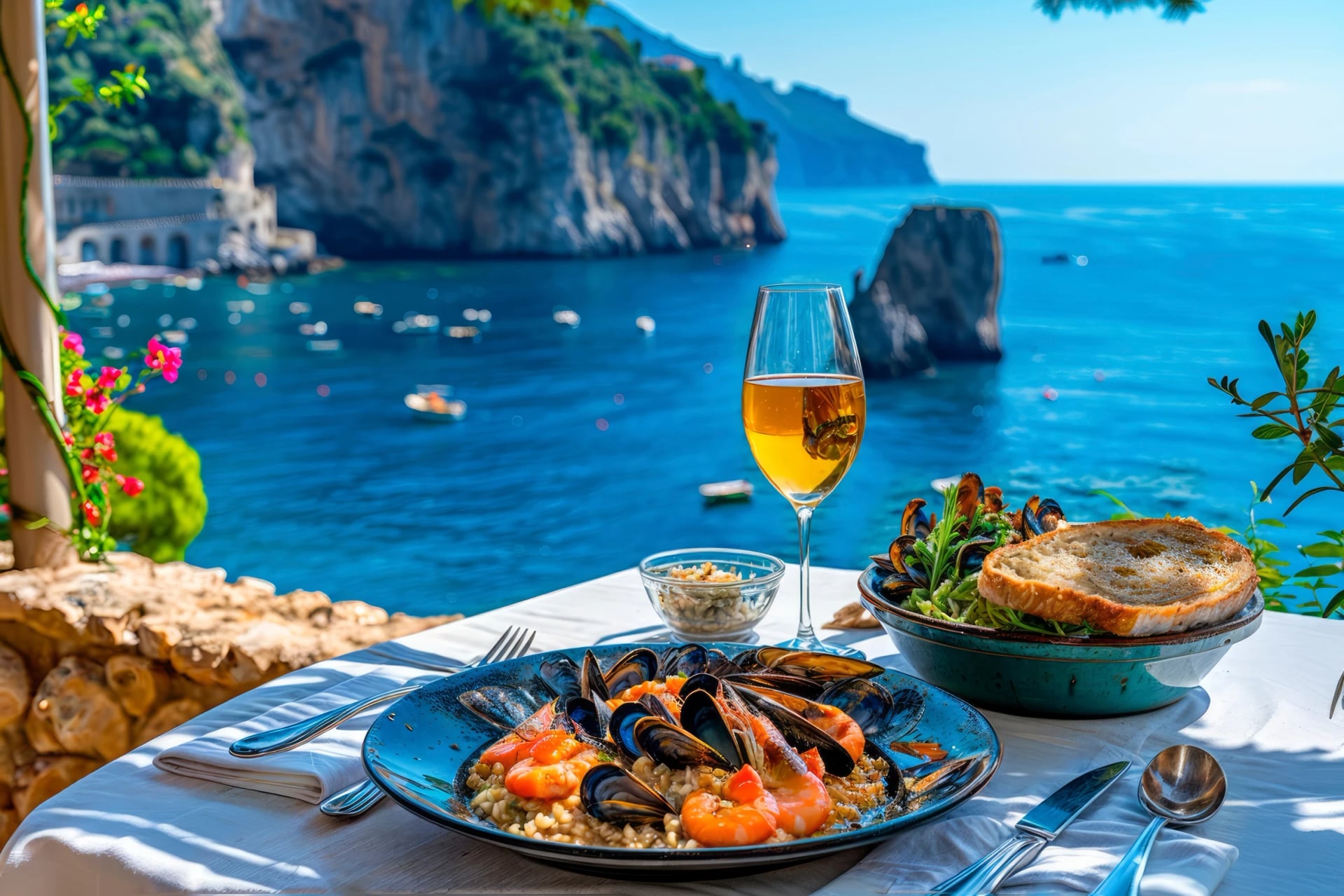
Food needs less thought at sea level and more in the mountains. The coastal villages are dense with places to eat, but the Monti Lattari days have none, so a mountain route means carrying lunch out of the village where you slept.
What you eat is worth paying attention to. The lemon terraces you walk through supply the coast's kitchens, the high pastures behind Positano still graze the Agerolese cattle behind Provolone del Monaco, and the anchovies from Cetara have their own long tradition on this stretch of coast.
Know Before You Arrive
Money. Small villages, mountain refreshment stops and the Nocelle bus are more cash-friendly than card-friendly, so carry notes for the day even though the towns take cards everywhere.
Permits. Only the Valle delle Ferriere reserve requires one, booked ahead with the Comune di Scala with a ticket paid on entry. Everything else described here is open access.
Wild camping is not a realistic option on this coast. The terrain is terraced and privately farmed almost everywhere, and there is nowhere legal or sensible to pitch.
Water. Villages have public fountains, the paths have a few. The Grotta Biscotto spring and the Nocelle fountain are the reliable ones on the Path of the Gods.
Local transport. SITA Sud buses link the coastal villages, ferries connect the towns and islands in season, and the Nocelle to Positano shuttle saves the worst staircase.
Trail closures. Landslides close sections of both the coast road and the paths after heavy rain, most often in late autumn and winter. Check locally rather than assuming a route is open.
Language. English is widely spoken in the towns and much less so in the hamlets above them.
Why Hike the Amalfi Coast
The paths came first. Before the coast road was cut in the 1850s these mule tracks and staircases were the only way between villages, which means they were built to be used daily by people carrying things rather than laid out for views.
That is why the walking works. The gradients are humane, the surfaces are paved and graded, and shade appears where you need it on a coastline that looks from a distance as though it offers none.
It is also the rare place where a serious walking week ends in a village every single night. You finish on a harbour or a piazza rather than a hut, and the food at the end of the day is as much the point as the path.
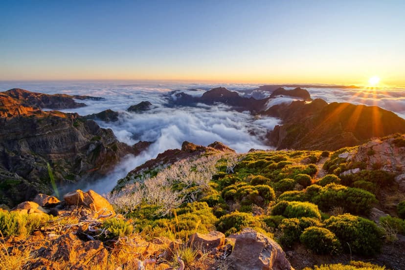
Then there is the vertical range. You can walk a level cliff shelf in the morning and, on the same holiday, climb from sea level to 1,444 metres for a view that takes in both gulfs at once, Naples and Salerno.
Amalfi Coast Hiking Tours
Strung together these routes make an Amalfi Coast multi day hike rather than a string of day trips, which is what our five trips here do. They differ more than the names suggest. Two are gentle and coastal, one adds Capri, one adds the whole of Campania, and one is a mountain week in its own right.
Best of Amalfi Coast Walking Holidays
The short introduction, and the gentlest week here at fitness 1 out of 5. Amalfi as a base, the Valle dei Mulini, then the coast to Praiano and the Path of the Gods into Positano.
Route: Amalfi, Valle dei Mulini and Pontone, Amalfi to Praiano, then the Path of the Gods to Positano
On the way: St Andrew's Cathedral and its Arabesque cloister, the Museo della Carta, Torre dello Ziro, the fjord of Furore, Santa Rosa Monastery
Grade: the easiest on this page, and a short break at five days
Amalfi Coast and Capri Island Walking Holidays
The full coastal week with the island added, and the only one that walks both valleys behind Amalfi as well as the cliff paths. Ravello and Scala share the Ferriere day.
Route: Amalfi based for three days, then Praiano and Positano, with a full day on Capri
On the way: Valle dei Mulini, Valle delle Ferriere, Scala, Pogerola, Ravello, Santa Barbara caves, the Faraglioni and the Monastery of San Giacomo
Grade: moderate, and the best single choice if you want the coast properly
Highlights of Campania Hiking Tour
The regional version, which treats the coast as one part of Campania. Walking finishes on day five and what follows is cities and islands, with Mount Epomeo the only later climb. It is the one to take if ruins and museums matter as much as the walking.
Route: Amalfi, Praiano and Positano on foot, then Capri, Naples, Ischia and Pompeii
On the way: Atrani, the Path of the Gods, the Sansevero Chapel, the National Archaeological Museum, Mount Epomeo, the forum and amphitheatre at Pompeii
Grade: moderate on fitness but technical 3 out of 5, so the ground is rougher than the pace suggests
Amalfi to Sorrento Walking Holidays
The long traverse, and the only trip that walks the coast end to end onto the Sorrentine peninsula. The grade stays gentle throughout and the quiet end is the payoff. Eleven days makes it a fortnight, not a week.
Route: the full coast from Amalfi west onto the Sorrentine peninsula, with Capri included
On the way: the hidden side of the peninsula beyond Positano, where the coastal villages thin out
Grade: moderate, with the length doing the work and no single hard day
Mountains of Amalfi Coast
The outlier, for walkers who want the range instead of the coastline. Fitness 4 out of 5, with the Molare on day two under its other name and a finish inland above Cava de' Tirreni. Most days climb from near sea level, and Salerno is the departure point.
Route: Positano, Praiano and Amalfi as bases, climbing Monte San Michele, Monte Tre Calli and Capo Muro, then over to La Trinità della Cava
On the way: Santa Maria del Castello, Montepertuso, Bomerano, the Gulf of Salerno, Valle delle Ferriere, Ravello
Grade: the hardest Amalfi week we publish, and a mountain trip not a coastal one
What Every Week Includes
Nights come with breakfast in three and four star hotels, guesthouses and B and Bs, all with private en-suite rooms. Luggage moves between villages so you walk with a daypack, and the reserve booking is arranged for you on the weeks that visit Valle delle Ferriere.
You also get a digital guidebook with the itinerary and route instructions, GPS navigation through an app, and support while you are out on the hill. Tourist tax is paid locally, and hotel upgrades or a single room are available on request.
Frequently Asked Questions
Planning Your Amalfi Coast Walk
The coast rewards a decision made early: the balcony paths and valleys for a gentle week, or the Monti Lattari summits for a hard one. Mixing them well takes local knowledge, mostly because the mountain days start a long way above where the buses stop.
All five of these weeks walk this coast, and the full list sits on the Amalfi Coast destination page. The rest of our sea-level weeks are grouped under coastal hikes.
If you are weighing up which week suits you, or want the reserve booking and the luggage transfers handled, get in touch. Tell us how much climbing you want and which of the five you are looking at, and we will say whether it fits.

About this author
Jon is our travel advisor and an outdoor adventurer who is happiest on the move. While mountain biking is his personal passion, he thrives on crafting hiking adventures for others — planning routes and adding the little touches that turn a trip into a core memory.











































.jpg&w=828&q=75)
