10 Best Hikes in the USA and When to Walk Them
The USA has no single hiking season. Ten of the best hikes across five regions, the month each one works, and the lotteries that decide if you walk them.

Jon
Published September 1, 2026
Edited September 24, 2026
18 min read
Quick links
Most lists of the best hikes in America hand you the trails and skip the planning. That is the wrong end of the problem.
The country is 2,800 miles wide and has no single hiking season. Utah in July is dangerous. The Sierra in April is under snow. New Hampshire in October is perfect and nearly empty. The month you can travel rules out most of the map, and what remains is a much easier choice.
So this guide starts there, then covers the permit lotteries that quietly decide whether you walk the famous hiking trails USA visitors fly in for. Grades quoted below follow our hiking difficulty guide.
Hiking in the USA at a Glance
Protected land: 433 sites in the national park system, and only about a quarter charge an entrance fee
Visits: over 320 million recreation visits a year, concentrated on a short list of trails
Long trails: the Appalachian Trail at roughly 2,190 miles, the Pacific Crest at about 2,650
The rationed ones: Half Dome, Angels Landing, Mount Whitney, The Wave, and most overnight backcountry
Hut network: eight, all in one mountain range in New Hampshire
Best all-round month: September
Worst avoidable mistake: the desert in July, or Montana in early June
Where to Hike Month by Month
This is the fastest way to narrow a country of this size. Find your month, take the region, and stop reading the rest of the map.
January to March: the desert Southwest and the California coast. Zion and the Grand Canyon's South Rim are walkable and quiet, Death Valley is at its best, and the coast between Monterey and San Francisco walks in shirtsleeves. Everything above 2,000 metres is shut.
April and May: the Southwest peaks, then the southern Appalachians as the leaves come in. The Grand Canyon's North Rim opens 15 May and not a day earlier. High Sierra passes are still snowbound.
June: the transition month, and the one most people get wrong. Glacier's Going-to-the-Sun Road has opened fully as late as the third week of June, so a Montana trip booked for early June is a gamble on tarmac.
July and August: the only window for the high Sierra, the Rockies, the Cascades and the northern parks. It is also peak crowd, peak permit competition and peak thunderstorm. Avoid the desert entirely.
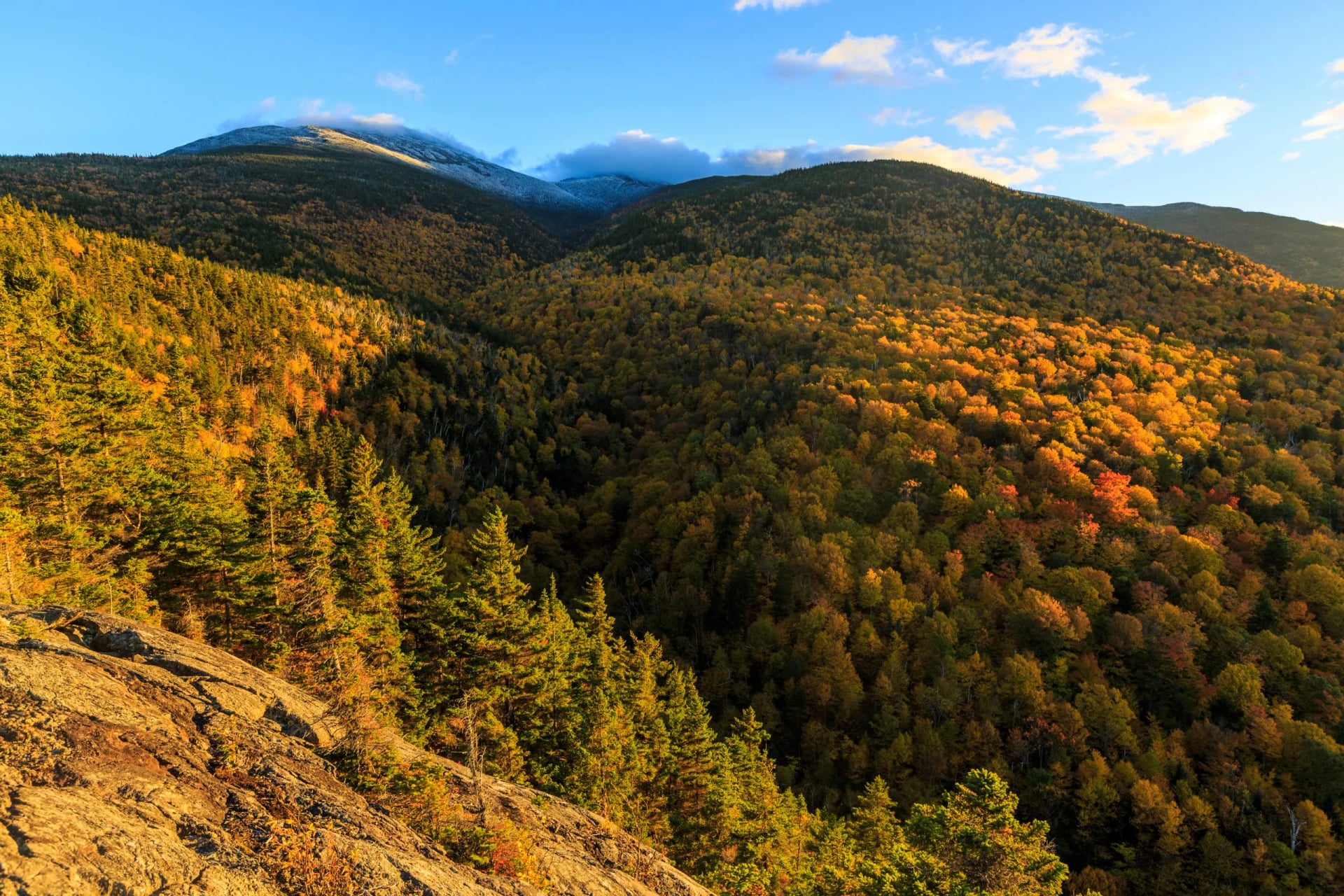
September and October: the best time to hike in USA mountains, for most people, most years. Crowds collapse after Labor Day, the air dries out, New England turns colour, and the Southwest becomes pleasant again.
November and December: back to the desert and the coast. Mountain roads close, and the North Rim shuts for the winter after the rangers leave in mid-October.
September is the answer more often than not. If your dates are fixed and they land in July, go north and high. If they land in February, go south and low.
The Best Hikes in the USA
There is no sensible way to rank these. A canyon crossing in Arizona and a ridge walk in New Hampshire are not competing for the same afternoon, and half the famous names are unavailable in the month you can travel anyway.
So they run in pairs by region below, numbered one to ten, each with the month it works and whether it needs a permit at the top. Find your month first and most of the list rules itself out.
1. Half Dome, Yosemite
Where: Yosemite, California
Days: 1
When: Late May to mid October
Permit: Lottery, 22 percent in the preseason draw
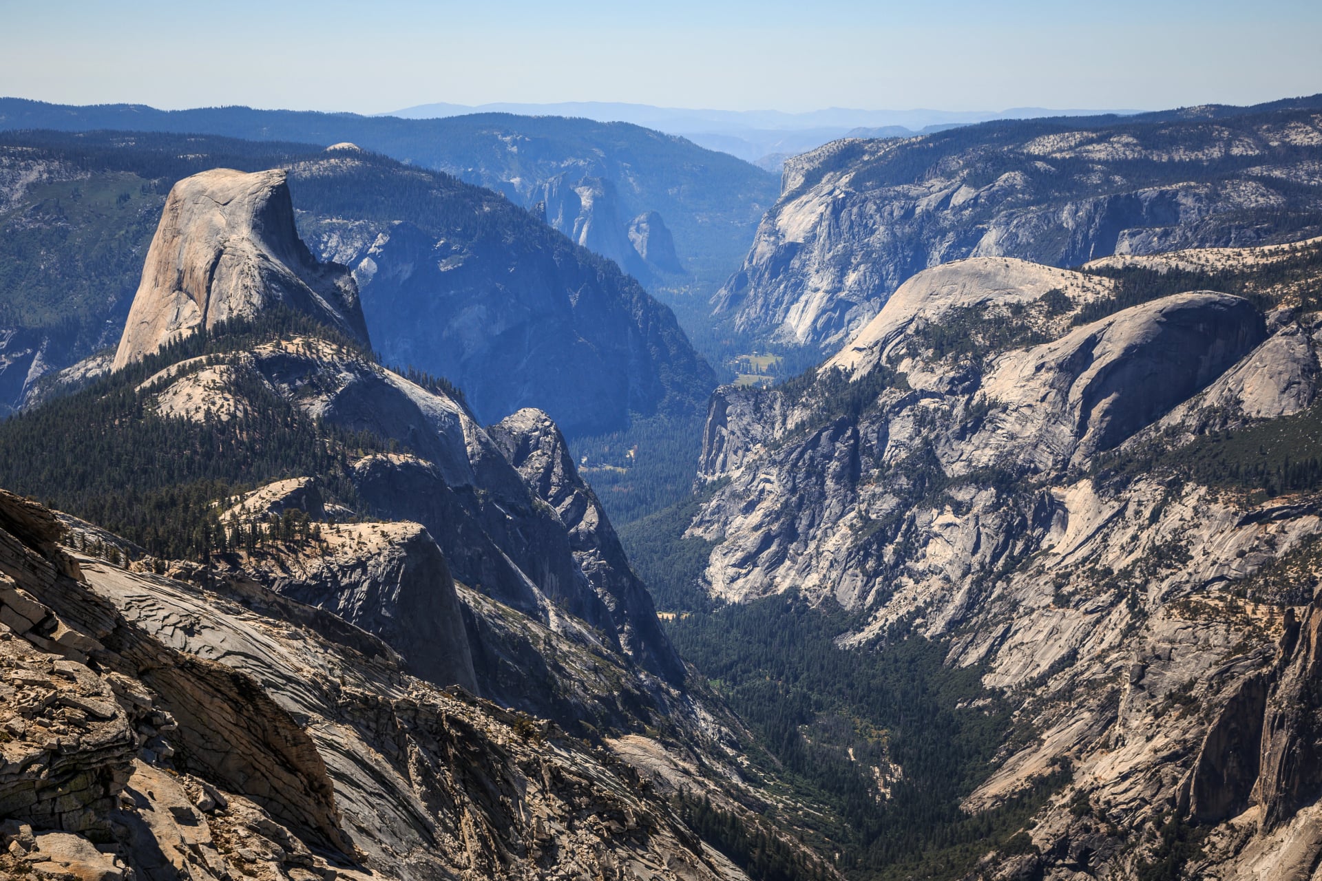
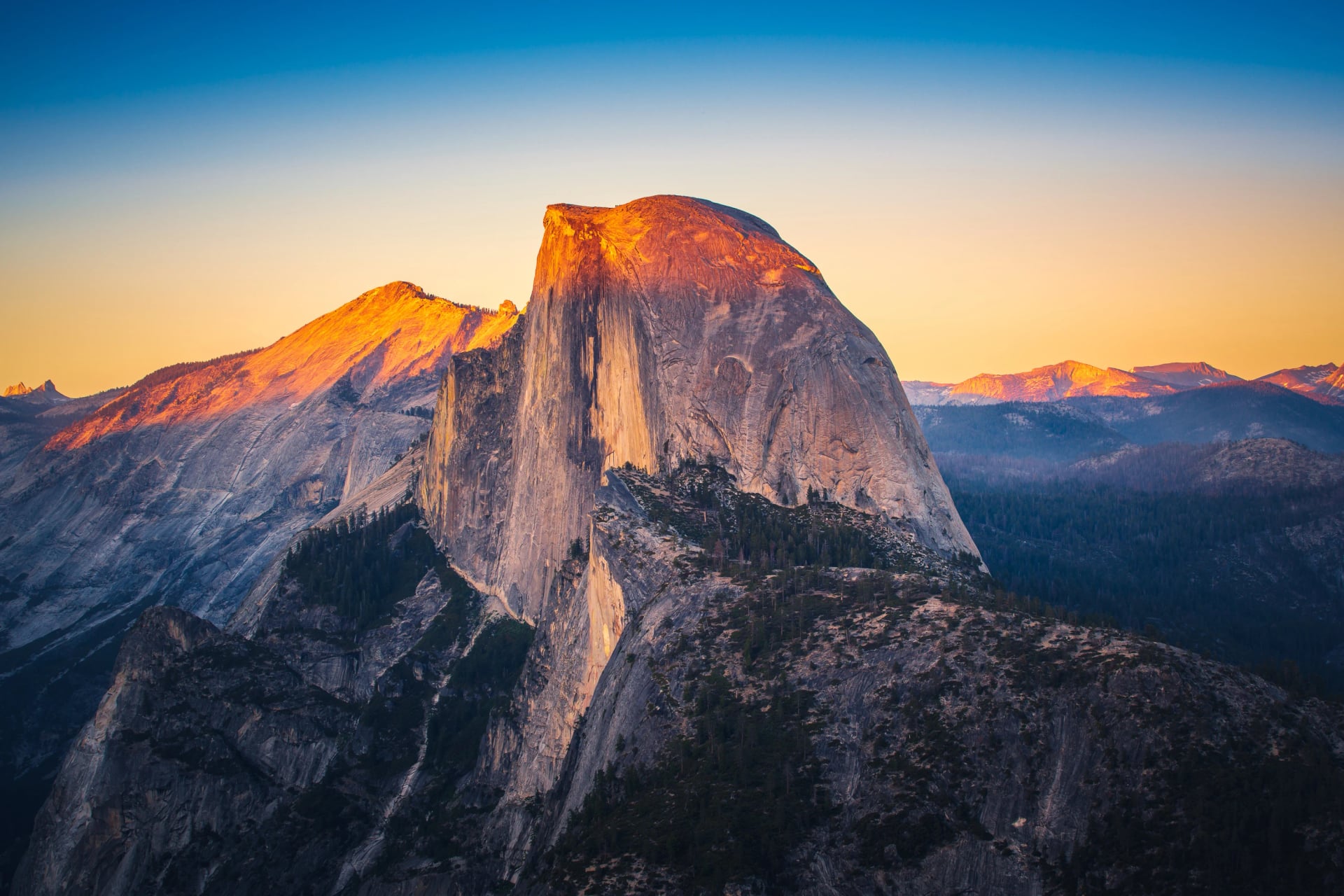
Roughly 14 to 16 miles round trip from the valley floor with about 4,800 feet of climbing, most of it on the Mist Trail past Vernal and Nevada Falls. The last 400 feet go up bare granite on steel cables and wooden slats, and that stretch is what people remember. It is a 14 to 16 hour day for most, the cables are only up from late May to mid October, and you need to win the lottery to be there at all.
2. Angels Landing, Zion
Where: Zion, Utah
Days: 1
When: September to May
Permit: Lottery, around 50 percent on average
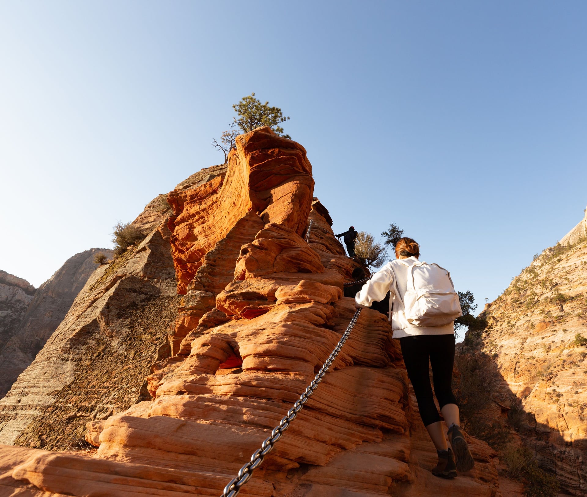
A strenuous 5.4 miles round trip from The Grotto at shuttle stop 6, and short enough that people underestimate it badly. The switchbacks of Walter's Wiggles get you to Scout Lookout, and the final half mile runs along a fin with chains and drops on both sides. Turn round at Scout Lookout and you still get the view; the permit only covers the fin.
3. Franconia Ridge
Where: White Mountains, New Hampshire
Days: 1
When: June to October
Permit: None
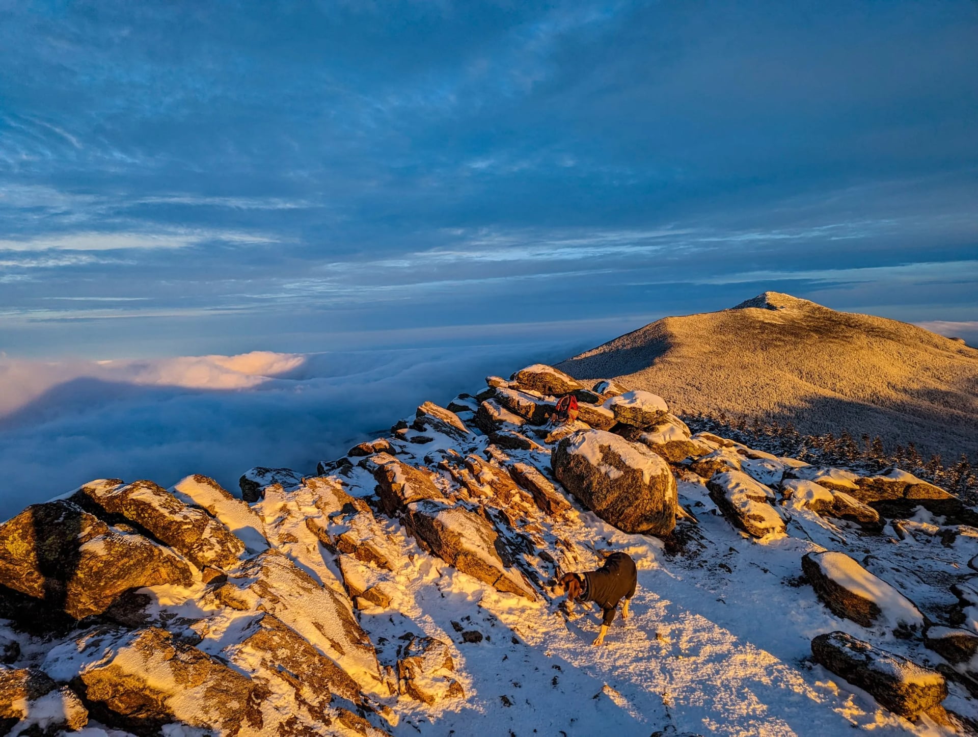
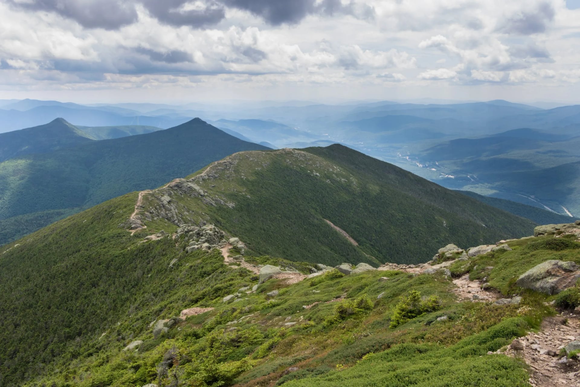
An 8.9 mile loop from Lafayette Place on four trails: up Falling Waters past the cascades to Little Haystack at 4,840 feet, north along the ridge over Lincoln at 5,089 and Lafayette at 5,260, then down the Greenleaf Trail past the hut and out on the Old Bridle Path. Nearly two miles of it are above treeline with no shelter, which is the whole point and the whole danger.
4. The Presidential Traverse
Where: White Mountains, New Hampshire
Days: 1 to 4
When: June to mid September
Permit: None, but hut beds book ahead
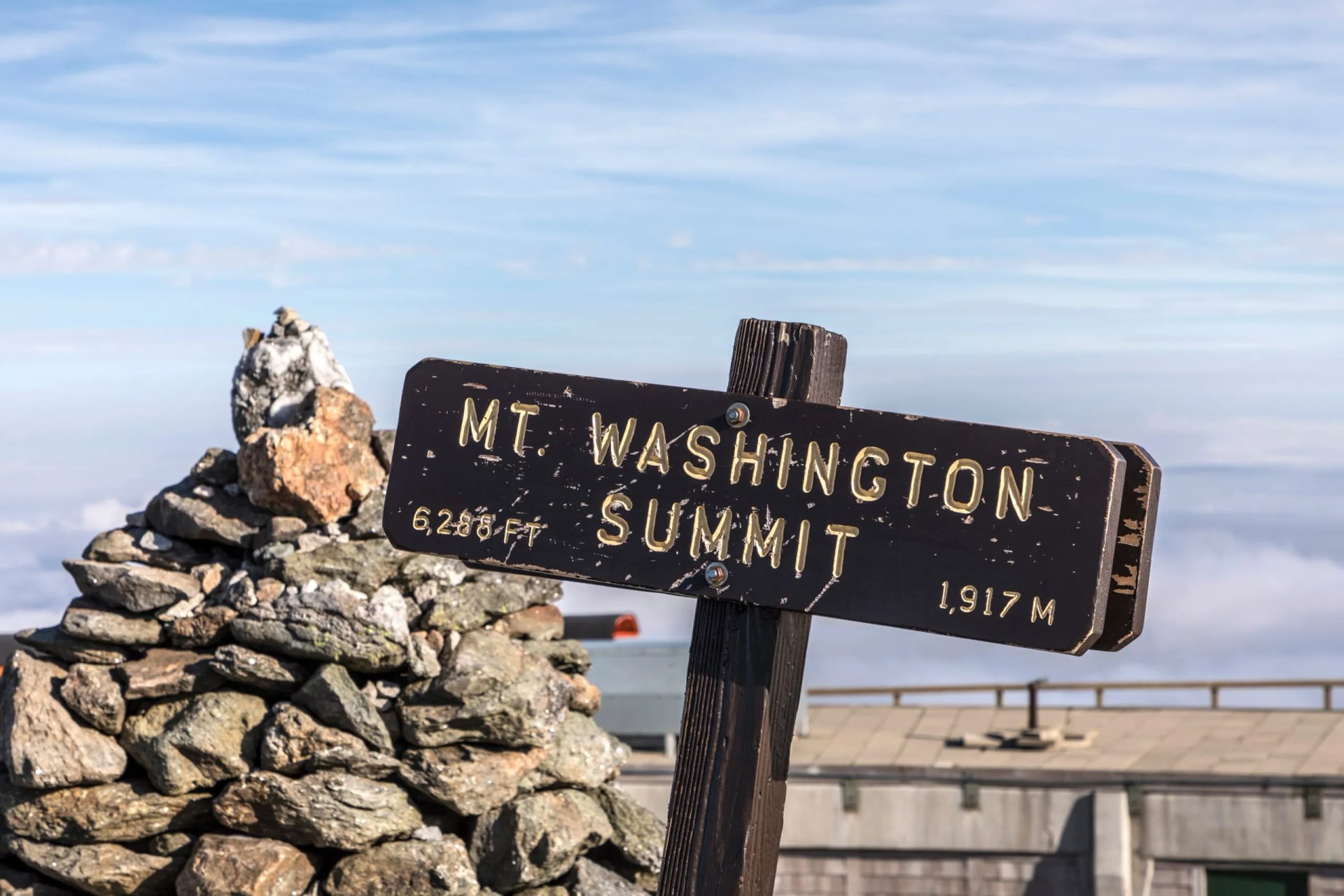
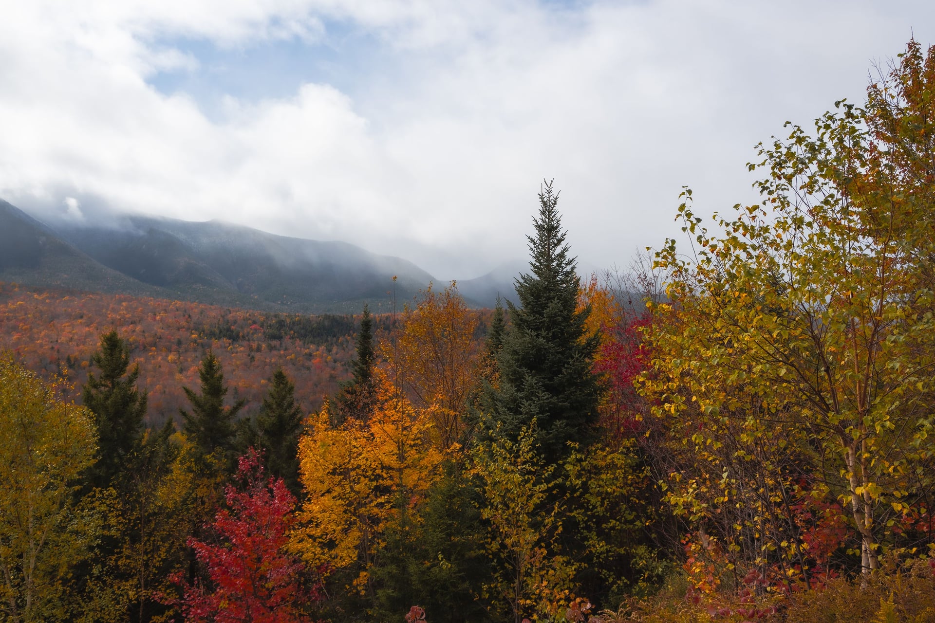
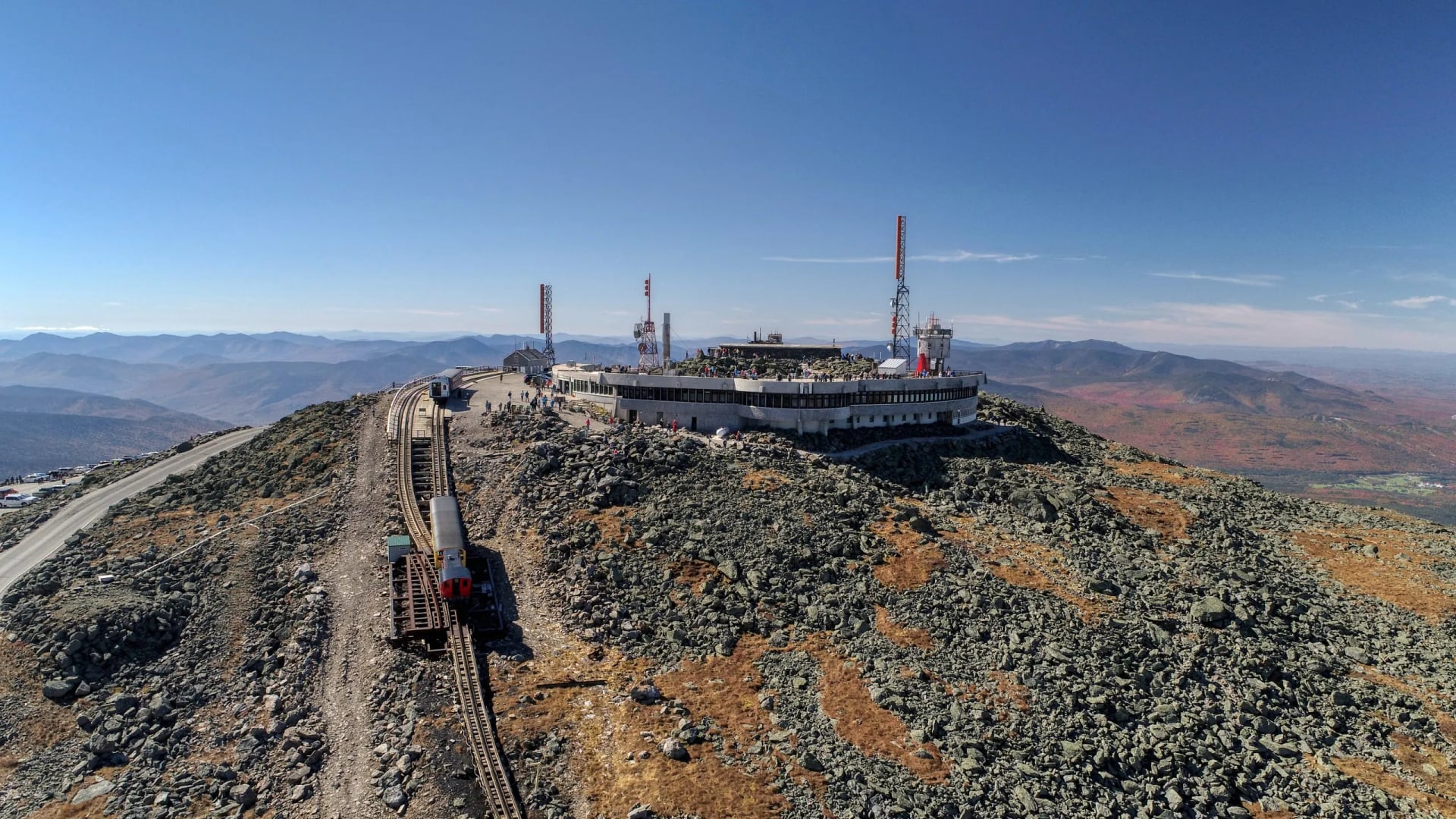
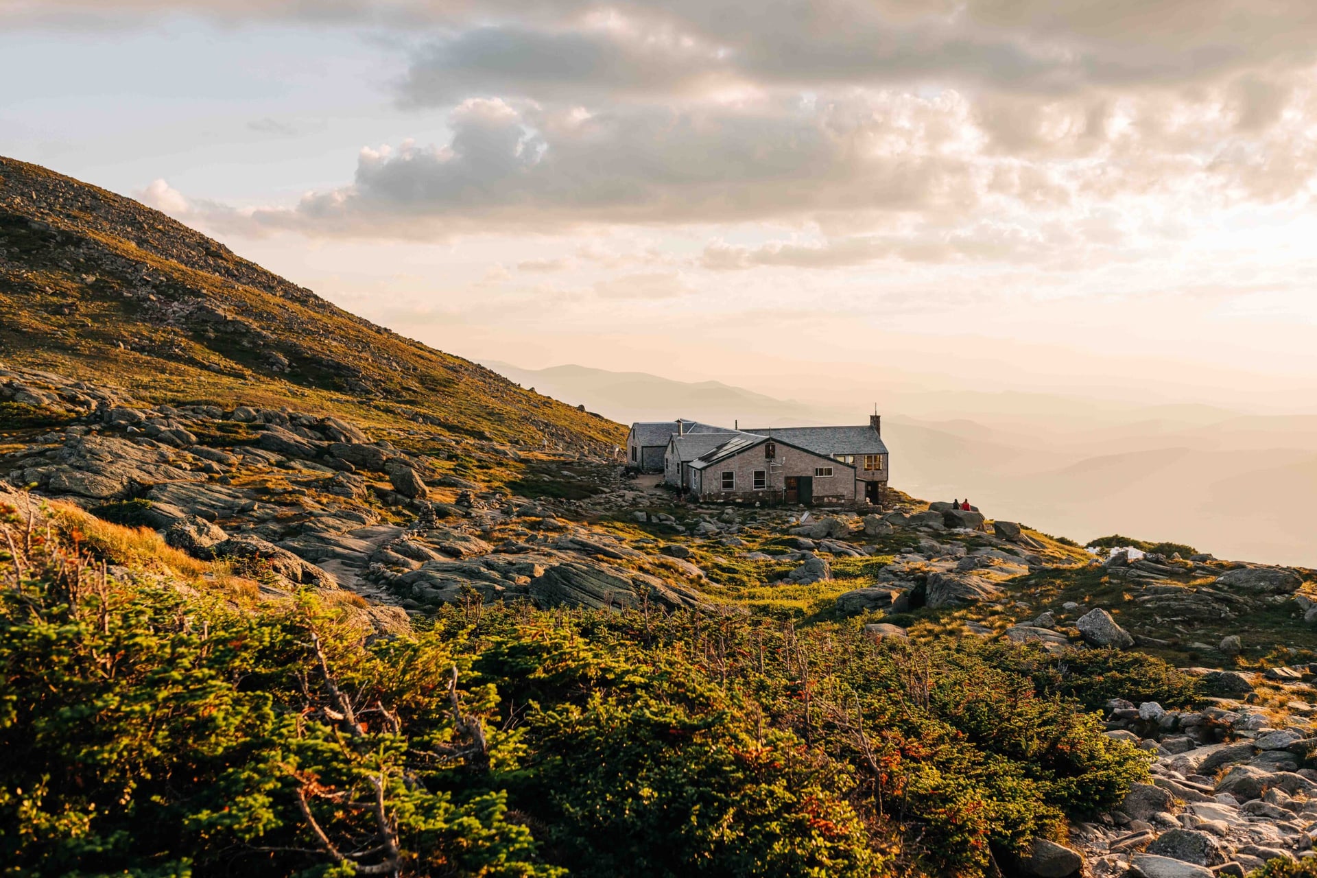
The full line over the Presidential peaks, around 20-plus miles with something near 9,000 feet of climbing, crossing Mount Washington at 6,288 feet in the middle. Done in a day it is one of the hardest walks in the east. Spread over three or four days with nights at Madison Spring and Lakes of the Clouds, it turns into the closest thing America has to an Alpine hut traverse.
5. Rim to Rim, Grand Canyon
Where: Grand Canyon, Arizona
Days: 1 to 2
When: 15 May to mid October
Permit: None to cross in a day
21 miles across by the North and South Kaibab trails, dropping a vertical mile to the Colorado and climbing most of it back out. The order is the trap: you descend fresh and climb when you are finished, in heat that builds as you lose altitude. The North Rim opens 15 May, and since the fire it has no lodge and no drinking water, though the store and fuel pumps are open, so the logistics need solving before the walking does.
6. The Narrows, Zion
Where: Zion, Utah
Days: 1
When: Late May to early November
Permit: None from the bottom up
Not a trail at all. You walk up the Virgin River itself between walls that close to twenty feet apart, in water that is often thigh deep and always cold, in rented boots with a stick. Spring snowmelt closes it outright most years until late May, flash flood risk closes it without much notice after that, and the bottom-up version needs no permit, which makes it the best fallback when the Angels Landing lottery goes against you.
7. The Rogue River Trail
Where: Rogue River canyon, Oregon
Days: 3 to 5
When: Spring and autumn
Permit: None
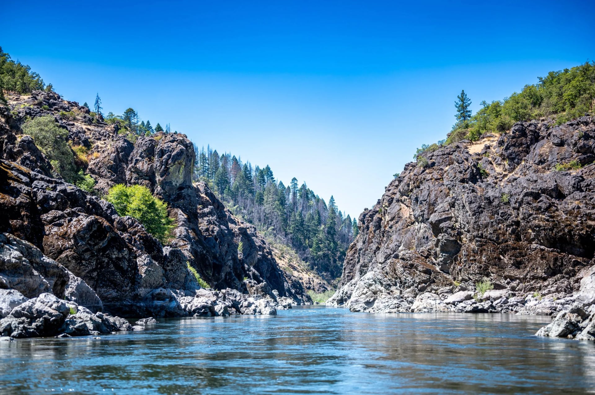
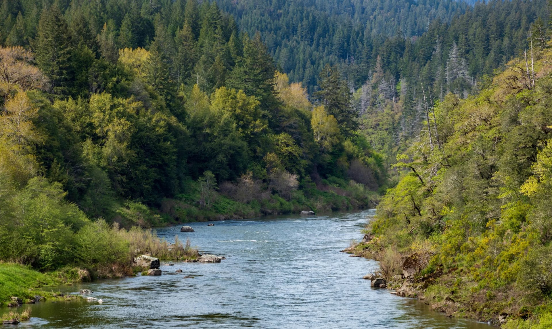
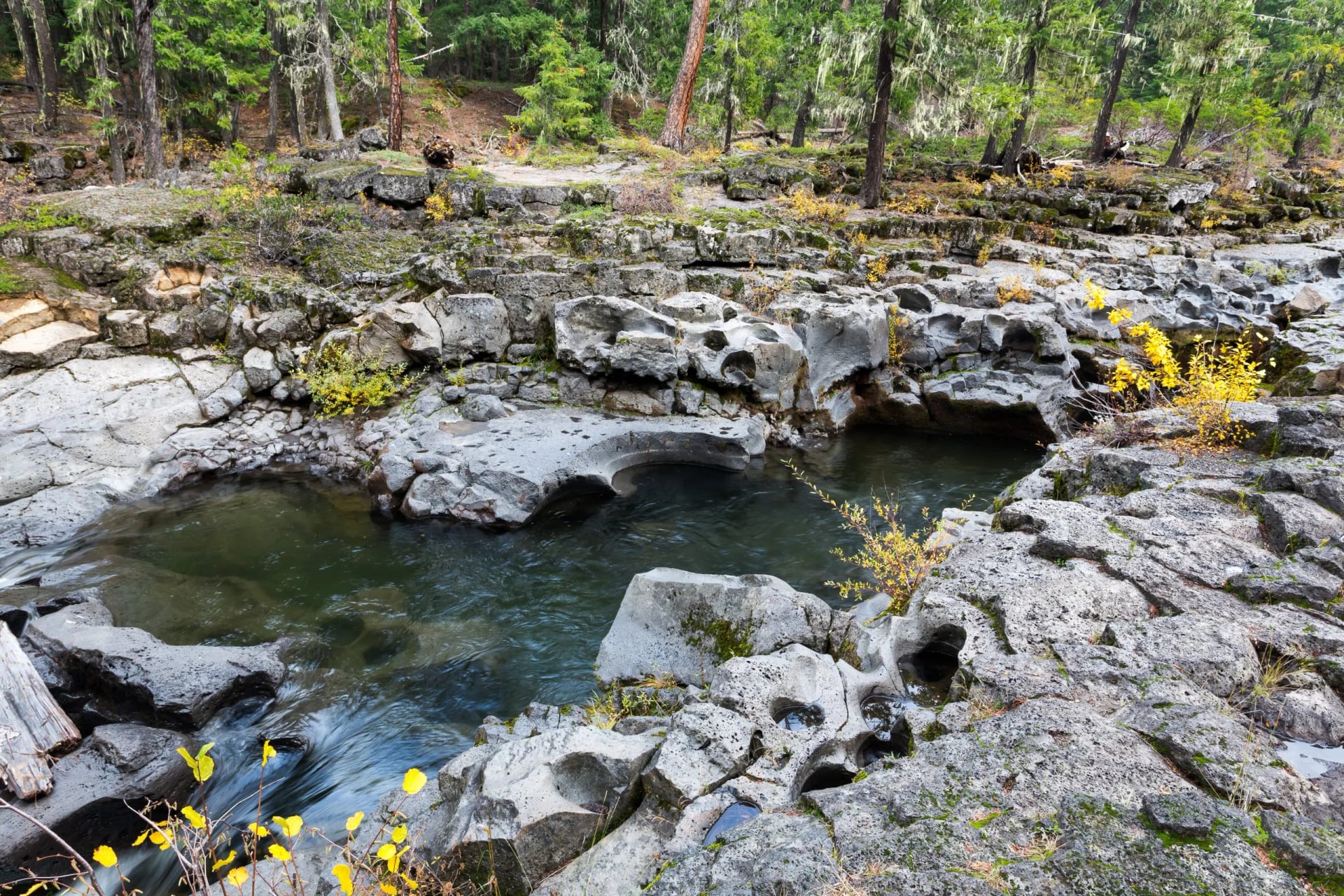
About 40 miles point to point through a canyon with no road in it, walked in three to five days with lodges and a river beside you the whole way. Low, green and warm in May when the mountains are still frozen, with black bears, ospreys and rafters for company. It is the gentlest true wilderness walk in this list.
8. The Wonderland Trail
Where: Mount Rainier, Washington
Days: 9 to 12
When: Late July to September
Permit: Lottery, booked months ahead
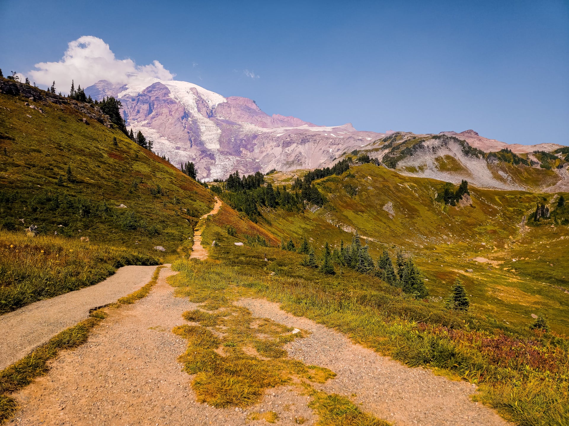
A 93 mile loop right around the mountain, usually walked in nine to twelve days, with a permit system and food caches to arrange months ahead. Constant climbing and dropping between river valleys and alpine meadows means the ascent total is brutal for the distance. Late July to September only, and the wildflowers are the reason people book it.
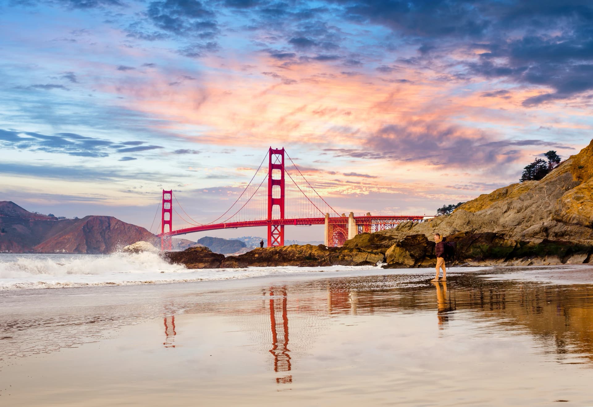
9. Mount Tamalpais
Where: Marin County, California
Days: 7
When: March to November
Permit: None
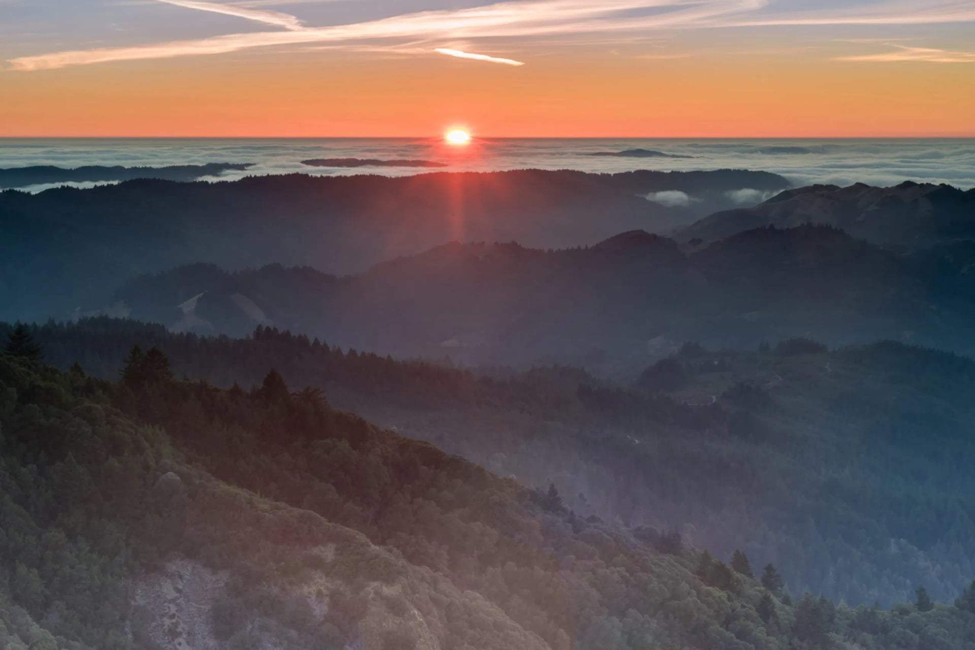
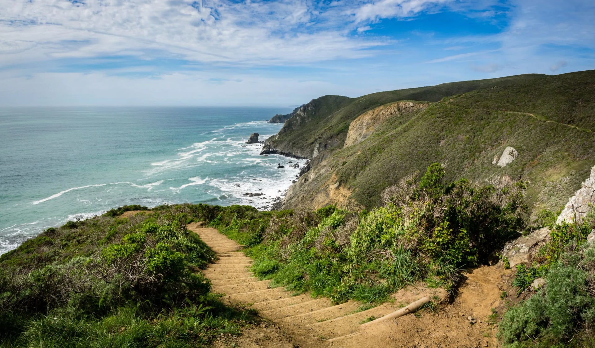
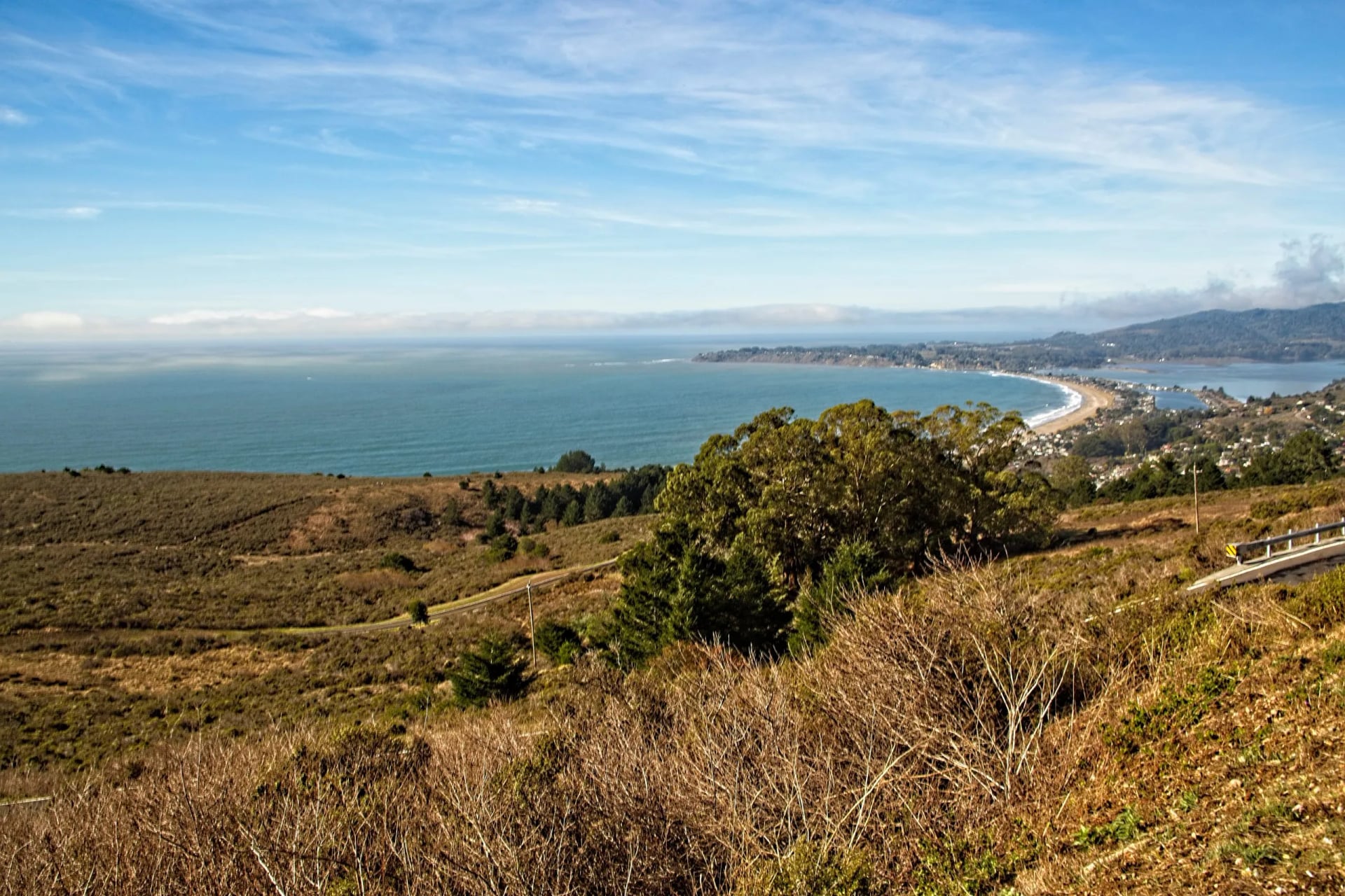
Redwoods, ocean cliffs and a bay view from 2,571 feet, all within an hour of San Francisco. Cardiac Hill out of Muir Woods is the real climb of the week and the rest is rolling coastal path. It walks every month of the year, which almost nothing else here does. Our Mount Tamalpais walk is the seven day version of it.
10. Monterey Bay
Where: Monterey Bay, California
Days: 6
When: All year
Permit: None
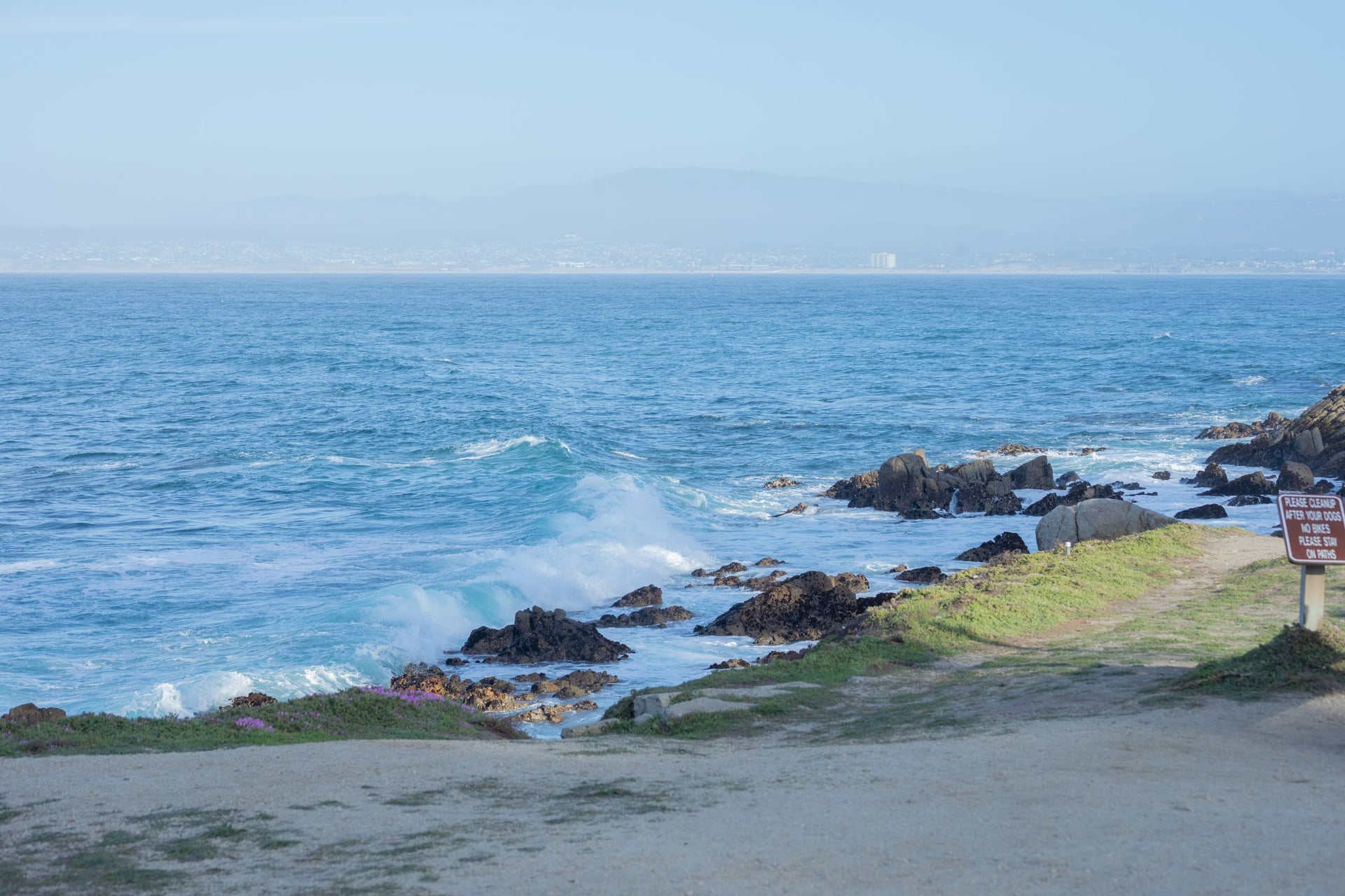
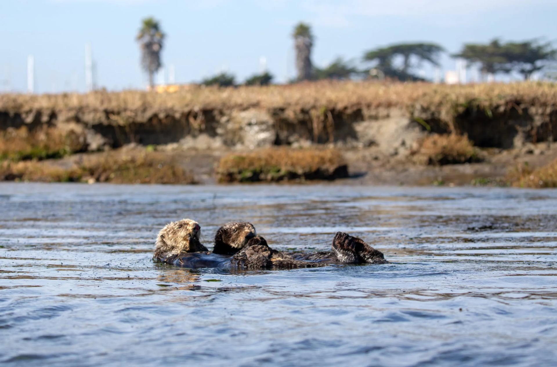
Flat, long and dense with things to look at: the Santa Cruz boardwalk, the dunes at Marina, and Elkhorn Slough, which holds one of the densest sea otter populations on the coast. Days run eight to sixteen miles with barely 500 feet of climbing, which makes it the winter answer when everything else on this page is shut. Our Monterey Bay walk runs it over six days.
The Regions and What They Suit
The Sierra Nevada and the California coast. Granite domes, 10,000-foot passes and the John Muir Trail inland, all of it a July to September proposition once the snow clears. The coast is the opposite: low, green, walkable in February, and the only part of the state with a year-round season.
The Southwest. Utah and Arizona are the postcard: Zion, Bryce, Arches, Canyonlands and the Grand Canyon. Spring and autumn only, and the canyon rims are the one place in this list where the hard half of the day comes at the end rather than the start.
The Rockies. Colorado has 58 summits above 14,000 feet and a culture built on collecting them. The catch is the afternoon storm cycle: you start at four in the morning and you are off the ridge by noon, all summer, without exception.
The Pacific Northwest. Volcanoes, rainforest and rivers, with the Wonderland Trail around Mount Rainier as the prize. Oregon's Rogue River canyon is the gentle end of it, a river-level trail with lodges and no road in.
New England. The White Mountains hold the only real hut circuit in the country. The heights are modest and the trails are not: they climb straight up boulder beds with no switchbacks, and Mount Washington tops out at 6,288 feet, which is 1,917 metres.
The southern Appalachians. Long green ridges through Georgia, Tennessee and Virginia, the Great Smokies, and the friendliest introduction to the Appalachian Trail. Humid in summer, glorious in October.
How to Choose Where to Go
Once the month has cut the map down, four questions finish the job. Answer them properly and the shortlist usually comes down to one or two places.
How many nights on the trail? Under four, pick one park and walk day routes from a single base. Five to eight, a point-to-point walk becomes possible. Under two weeks, do not cross states.
How do you want to sleep? This matters more in America than in Europe, because the options are further apart. Tent and permit means the Sierra or the Rockies. Mountain hut, with meals and a bunk, effectively means New Hampshire. Hotel with your bag moved means the California coast or a lodge-based trip.
How much driving will you tolerate? American trailheads are far from airports and further from each other. Assume two to four hours from the plane, and treat any itinerary with more than two long drives as a driving holiday with walking in it.
How high up do you want to be? This is the question people skip. Colorado trailheads routinely start at 10,000 feet, about 3,000 metres, higher than most summits Europeans have walked, and the first two days will feel wrong no matter how fit you are.
If your answers are "one week, hotels, minimal driving, low altitude", the coast of California is the recommendation, and it is where our own USA hiking tours run. If they are "hut, ridge, no car", it is the White Mountains.
The Permit Lotteries and the Odds
Hiking permits in the USA are handed out by lottery, and this is the part that decides your trip. Not fitness. The numbers are worth seeing before you plan around a famous trail.
Half Dome in Yosemite releases 225 permits a day. In 2024 the preseason lottery took 35,289 applications and issued permits to 22 percent of them, and the daily lottery ran at 19 percent. Break that down by day and it gets brutal: weekend choices came in under one percent in the preseason draw.
Angels Landing in Zion is far kinder. Across both its lotteries the odds average around 50 percent, though they swing between 8 and 100 percent depending on the date. The seasonal lottery opens months ahead, and a day-before lottery runs from just after midnight until three in the afternoon, Mountain Time, for anyone already in the area.
The pattern in both is the same, and it is the single most useful planning fact on this page. Midweek and shoulder season transform your odds. A Tuesday in late September is a different lottery from a Saturday in July.

Parks also meter themselves, and the rules move year to year. Glacier ran vehicle reservations for several seasons, then dropped them entirely in favour of three-hour parking limits at Logan Pass and a ticketed shuttle for Highline Trail walkers from 1 July. Check the park's own page in the month you book, not a blog from two years ago.
Hut to Hut Hiking in the USA
Europeans arrive expecting a hut network and do not find one. The USA is enormous and its backcountry is served by tents, not buildings, almost everywhere.
The exception is worth building a trip around. The Appalachian Mountain Club keeps eight huts in the White Mountains: Lonesome Lake, Greenleaf, Galehead, Zealand Falls, Mizpah Spring, Lakes of the Clouds, Madison Spring and Carter Notch. Each is reachable only on foot, they are strung along the Appalachian Trail, and they sit close enough to walk between day after day.
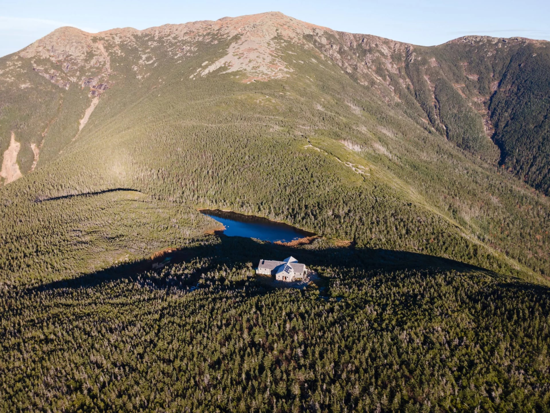
The full-service season runs from early June to mid-September, when crews carry in food and cook a shared dinner. Outside it the huts drop to self-service, and the hiker shuttle thins to weekends from mid-September to mid-October. Lakes of the Clouds and Madison Spring sit above treeline, which is why a Presidential traverse can be walked with a day pack.
Elsewhere the idea survives in pockets: Colorado has backcountry huts built for skiers, and California has a few high camps. Everything else marketed as hut to hut in the USA is inn to inn, which is a different and often better thing.
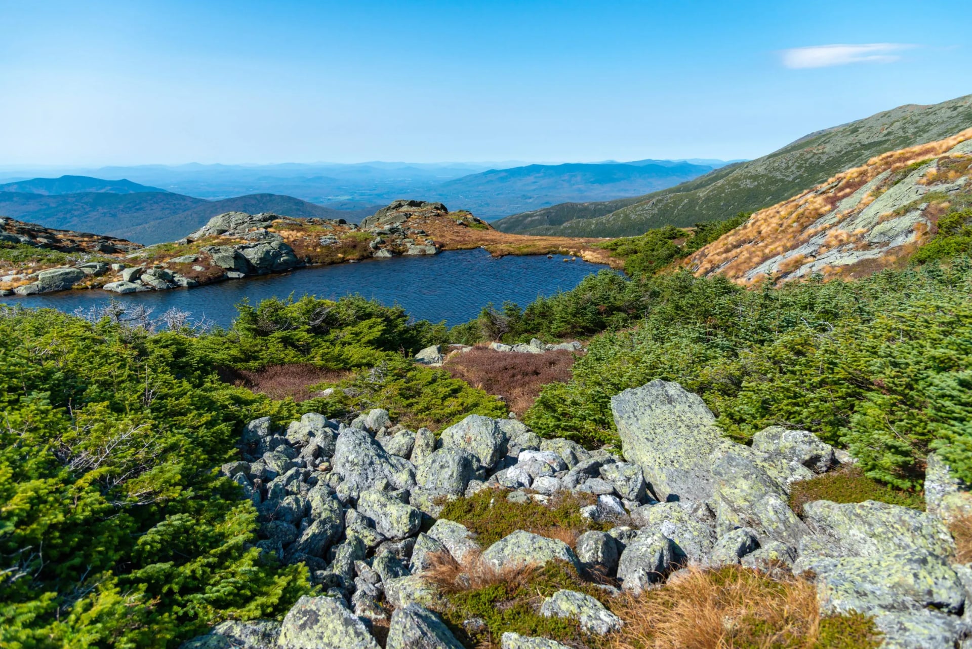
Our sister brand Hut to Hut Hiking USA covers the White Mountains and the Rogue River, including the Presidential Traverse. The three walks below are the coastal California end of the same family.
Our USA Walks
All three are self-guided, which means a digital guidebook, GPS navigation on your phone, your bag moved between hotels, and nobody walking beside you. Breakfast is included and dinners are not.
Mount Tamalpais State Park Inn-to-Inn Hiking
Distance: 8 to 10 miles a day
Ascent: 500 to 2,700 feet a day, the biggest climbing of the three
Sleeping: six nights in 3 star boutique hotels or B&Bs with breakfast
Season: March to November
Grade: fitness 3, technical 3
Seven days from San Francisco over Sausalito and the Marin Headlands to Muir Beach and Stinson Beach, finishing on the East Peak of Mount Tamalpais. Day 3 crosses the headlands with Alcatraz and Angel Island offshore, day 4 climbs Cardiac Hill, and day 5 drops through Cathedral Grove in Muir Woods before the last climb.
Half Moon Bay to San Francisco Inn-to-Inn Hiking
Distance: 8.5 to 10.5 miles a day
Ascent: 380 to 1,170 feet a day
Sleeping: five nights in 3 star boutique hotels or B&Bs with breakfast
Season: March to November
Grade: fitness 2, technical 2
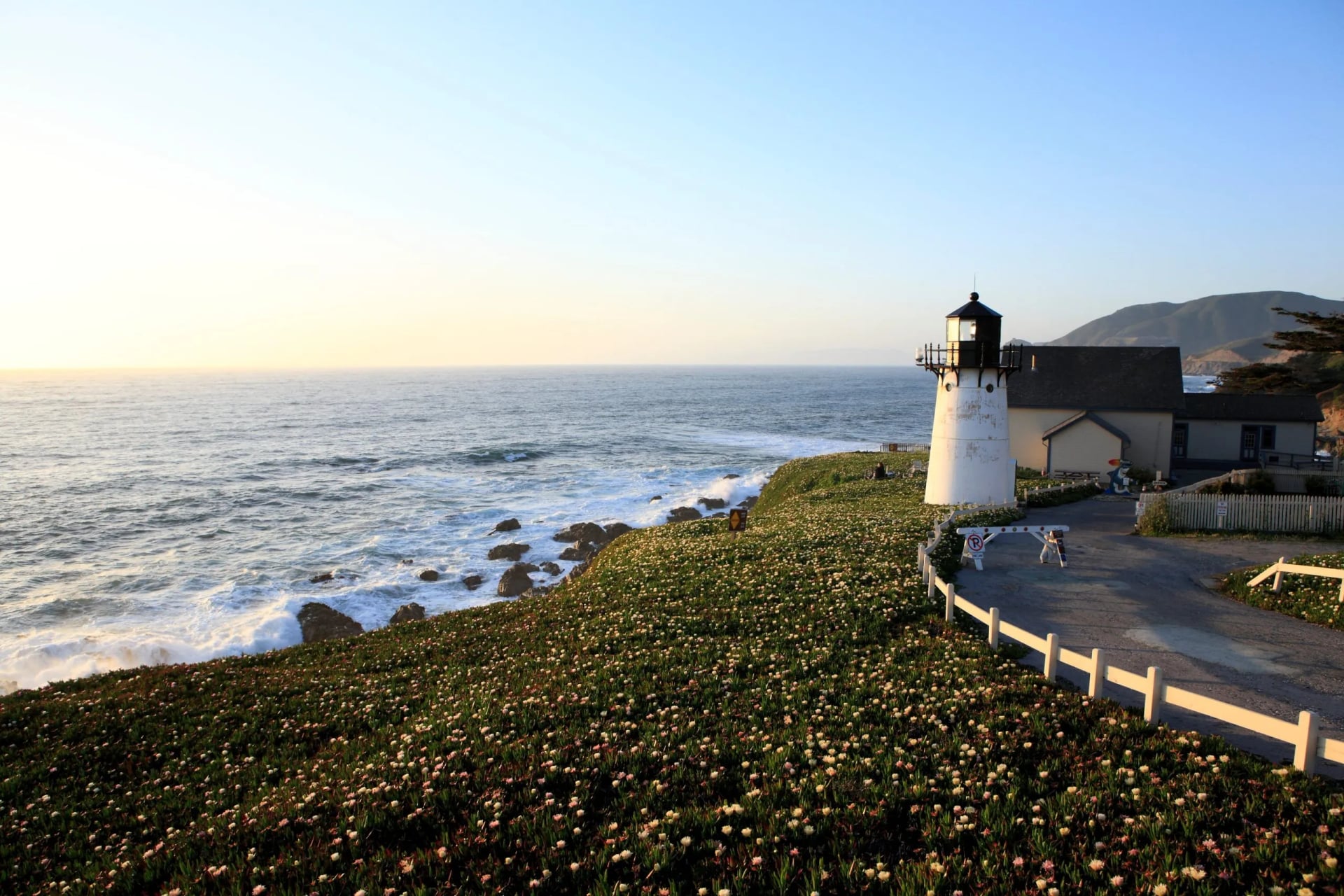
Six days up the coast through Montara and Pacifica to Ocean Beach and the city. Day 1 takes in Mavericks, where the big-wave contest is held, and the Fitzgerald Marine Reserve. Day 3 crosses the San Pedro Mountain trail, and the last two days follow the city's ocean edge rather than its streets.
Monterey Bay Inn-to-Inn Hiking
Distance: 8.3 to 15.3 miles a day
Ascent: 180 to 510 feet a day, the flattest of the three
Sleeping: five nights in 3 star boutique hotels or B&Bs with breakfast
Season: all year
Grade: fitness 2, technical 1
Six days from Santa Cruz through Aptos, Moss Landing and Marina into Monterey. The distance swings hard between days but the ascent never really arrives, which makes this the one to pick in winter. Day 3 follows the shore of Elkhorn Slough, which is the wildlife morning of the week.
How Hard Is It in Real Numbers
Grade the regions separately, because they ask for different things. Our coastal walks sit at fitness 2 to 3 and technical 1 to 3, which means a long day on your feet and no hands on rock.
The mountains are a different calculation. A White Mountains day is short in miles and long in hours, because the trails climb straight up rock rather than switchbacking, so plan in hours, not miles. One mile an hour on the steep sections is normal, not slow.
At altitude the number that matters is on the map, not your watch. Above 10,000 feet most visitors lose a noticeable share of their pace, and the fix is a slow first day, not a fitter body. Our guide to training for hiking is built around exactly this kind of trip.
What Catches Europeans Out
Bears are a food problem. Much of the Sierra and many parks require food in an approved canister or locker, and rangers enforce it. Carry one, use it, and bears stay uninterested in you.
Heat is what actually kills people. Canyon country in summer runs past 100 degrees Fahrenheit, and the Grand Canyon pulls walkers off its inner trails every year. Walk at dawn, sit out the middle of the day, and carry far more water than feels sensible.
Water is not automatic. Western streams run dry by late summer and desert routes have none, so treat every source on the map as a question rather than a promise.
The rules change every season. Roads open late after heavy snow, fires close whole rims, and permit systems get added and dropped. Our mountain safety guide covers the rest.
Getting There and Getting Around
Most European visitors travel on the visa waiver programme with an approved ESTA, which has to be in place before you fly and is not the same thing as a visa. Use the official government site, because the paid lookalikes are everywhere.
Once you land, assume you need a car. Trailheads are rarely on a bus route, and the shuttle systems inside parks only begin once you have driven to the park.
If you are visiting several federal sites the annual pass is the obvious move, and it covers everyone in the vehicle. Buy it at the first gate rather than online at the last minute.
Frequently Asked Questions
Planning Your USA Hike
Work in this order and the trip plans itself. Month, then region, then permits, and only then flights.
Tell us your dates and your fitness and you will get a straight answer about what fits. Start on our inquiry page.

About this author
Jon is our travel advisor and an outdoor adventurer who is happiest on the move. While mountain biking is his personal passion, he thrives on crafting hiking adventures for others — planning routes and adding the little touches that turn a trip into a core memory.
























































.jpg&w=828&q=75)





















