Matterhorn Hiking: The Trek Around the Peak
Hiking the Matterhorn means walking round it, not up it. Five stages and two mountain huts on a circuit of about 42 km, with the climbing left to the ropes.

Jon
Published September 1, 2026
Edited September 22, 2026
23 min read
Quick links
The Matterhorn is 4,478 metres of rock with four faces pointing roughly at the four compass points, and almost everyone who comes to look at it stays in the valley. A small number climb it. The interesting option sits between those two.
You can walk a complete circuit of its flanks, sleeping high, without ever roping up or touching a glacier. That is what Matterhorn hiking means in practice, and it is a very different week from the one the summit photographs suggest.
For the wider country, our ultimate Switzerland hiking guide is the place to start.
This guide covers the route, the huts, the season and the things the listicles leave out. Grades throughout follow our hiking difficulty guide.
The Matterhorn Trek Stage by Stage
Waymarking follows the Swiss mountain system in white, red and white, which puts almost all of it in the T2 to T3 band of the Swiss Alpine Club scale.
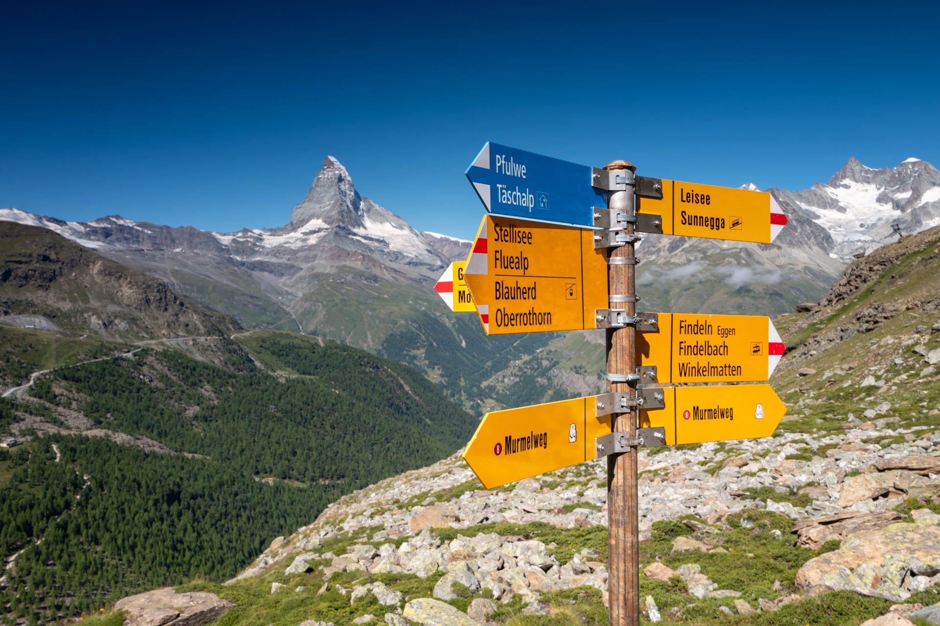
Stage 1: Zermatt to Trift
Distance: 3.5 km
Ascent: 730 m
Descent: 10 m
Sleeping: Berggasthaus Trift
A short, steep first day out of the village. The path leaves the top of Zermatt and climbs straight into the Triftbach gorge, gaining height fast in trees before the valley opens into a high bowl ringed by four thousand metre peaks.
Nothing about this stage is long, and that is the point. The climb is steep for its length, 730 metres in 3.5 kilometres, so the day is built to finish early and let the height settle before three consecutive nights up high. Treat the spare afternoon as part of the route rather than wasted time.
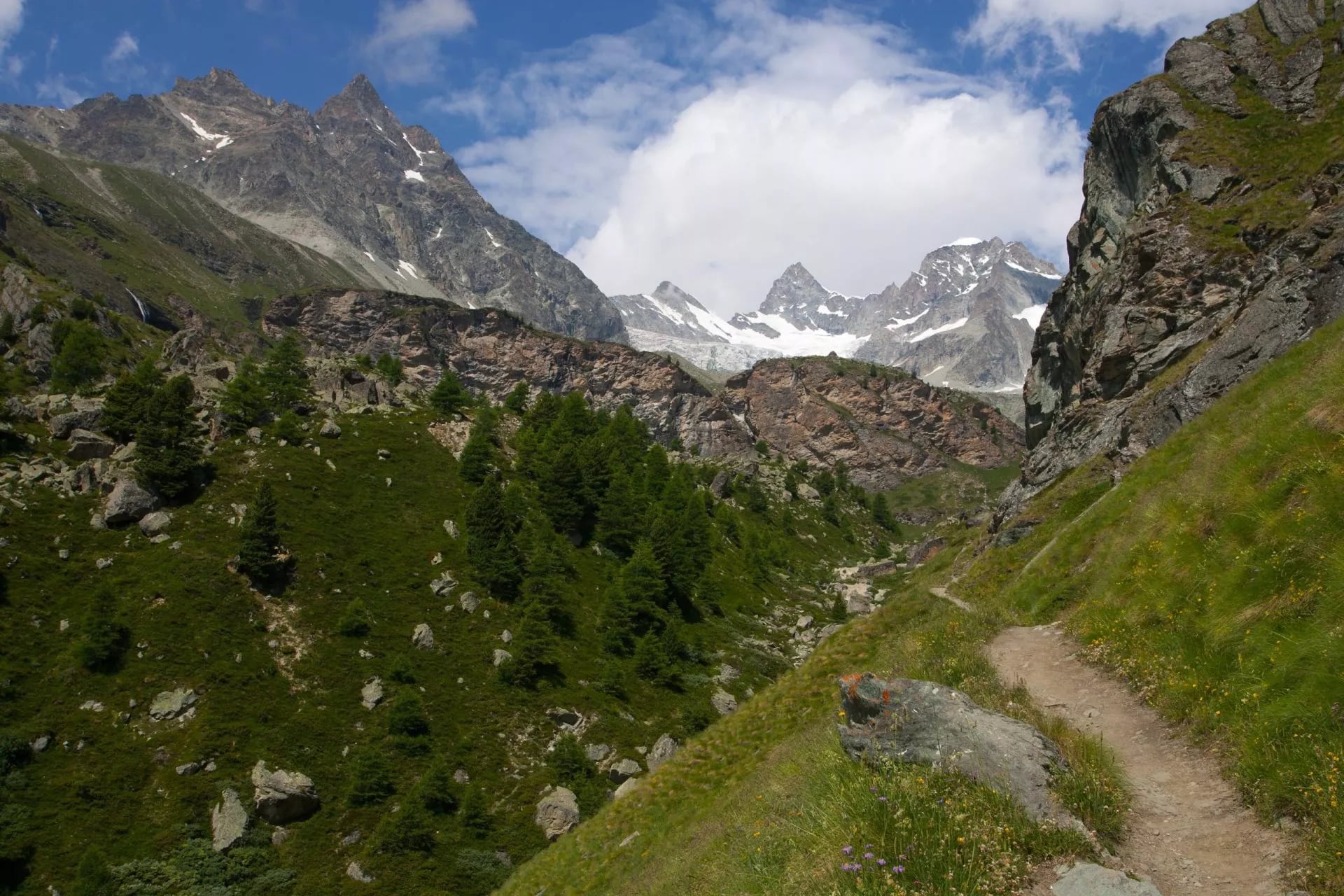
The Trift mountain inn sits at the top of that bowl and exists only because walkers keep arriving on foot. There is no road, no lift and no delivery van, so everything on the menu walked up or came by helicopter. It is a good introduction to how the rest of the week will work.
Look back down the valley in the evening and Zermatt is a scatter of lights a long way below. The Matterhorn is out of sight from here, hidden behind the ridge you cross tomorrow, which makes the reveal on stage two considerably better than it would otherwise be.
Stage 2: Trift to Schönbiel Hut
Distance: 12 km
Ascent: 790 m
Descent: 430 m
Sleeping: Schönbiel Hut, 2,694 m
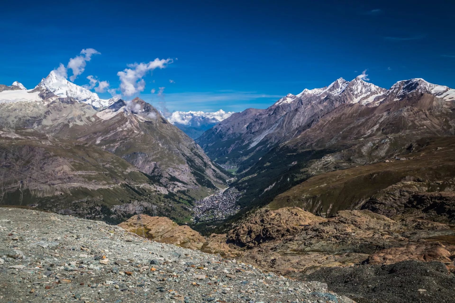
The best day of the week, and it is not a close contest. The route climbs to the Höhbalmen meadows and the Hohliecht viewpoint at around 2,675 metres, then contours south on a long, level balcony with the Matterhorn's north face directly opposite.
This is the traverse people remember years later. It runs for hours with almost no height change, high above the Zmutt valley, and the mountain never leaves your shoulder. From here it reads as a wall rather than a pyramid, streaked with ice and completely unlike the postcard.
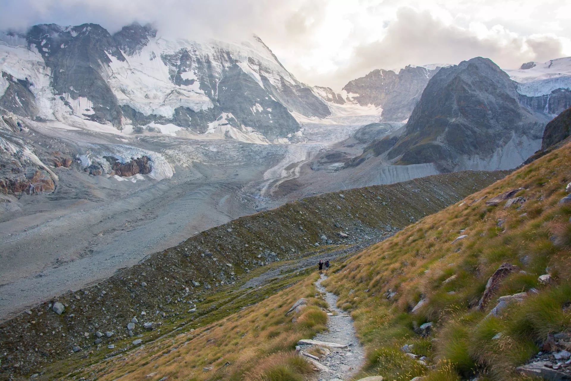
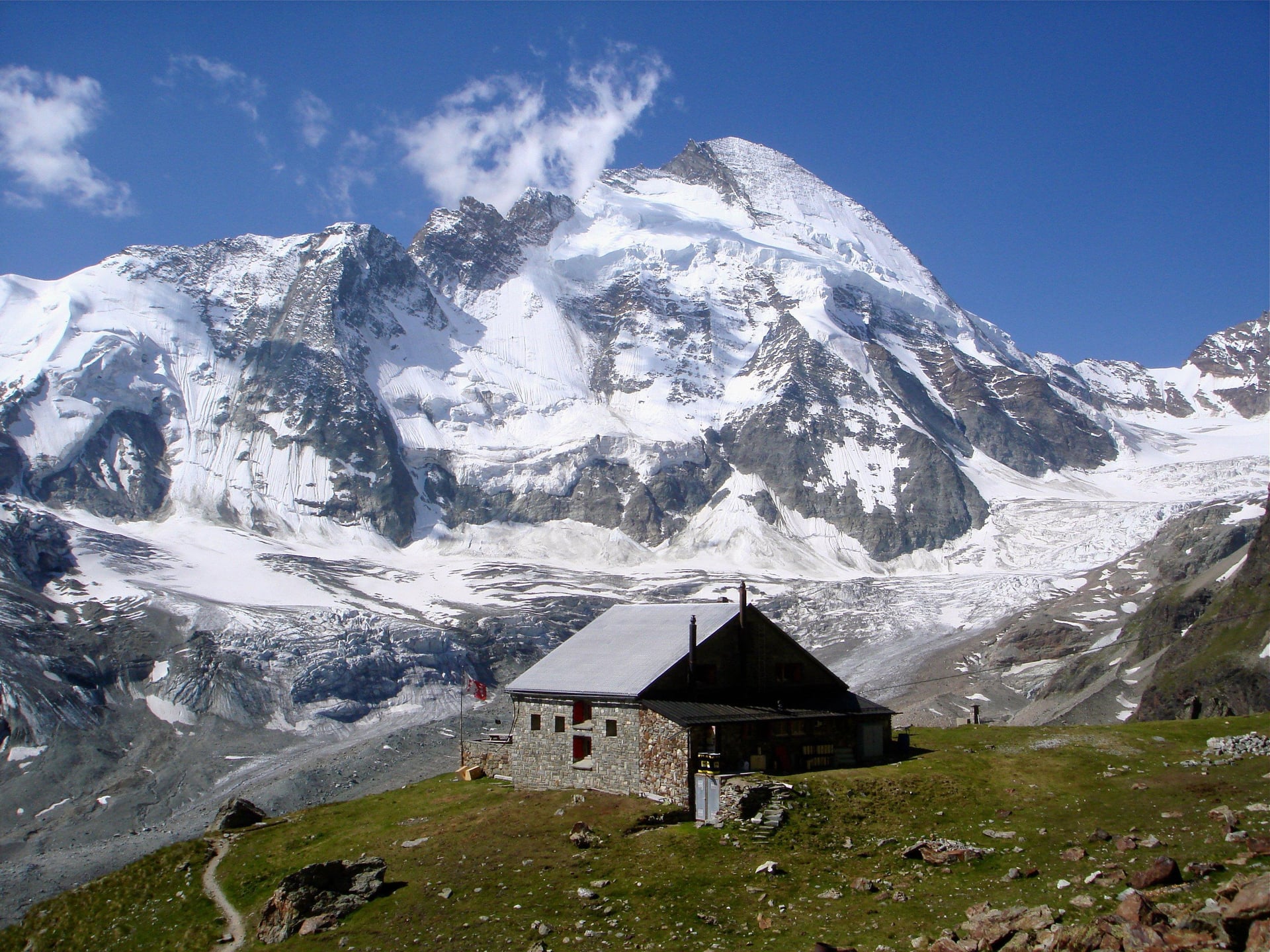
The last hour crosses the lateral moraine of the Zmutt glacier and climbs to the Schönbiel Hut at 2,694 metres, which faces the Dent Blanche across a wide bay of ice. This is the classic Swiss Alpine Club night of the trip.
Sunset here is worth staying outside for in the cold. The light leaves the Matterhorn's west face last of anything in view, and the hut terrace faces exactly the right way, which is not true of most huts in this valley. Bring the down jacket to dinner.
Stage 3: Schönbiel to Schwarzsee
Distance: 9 km
Ascent: 440 m
Descent: 550 m
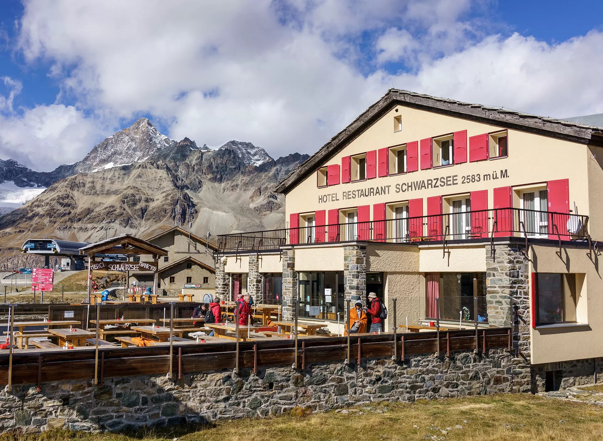
Sleeping: Hotel Schwarzsee, 2,583 m
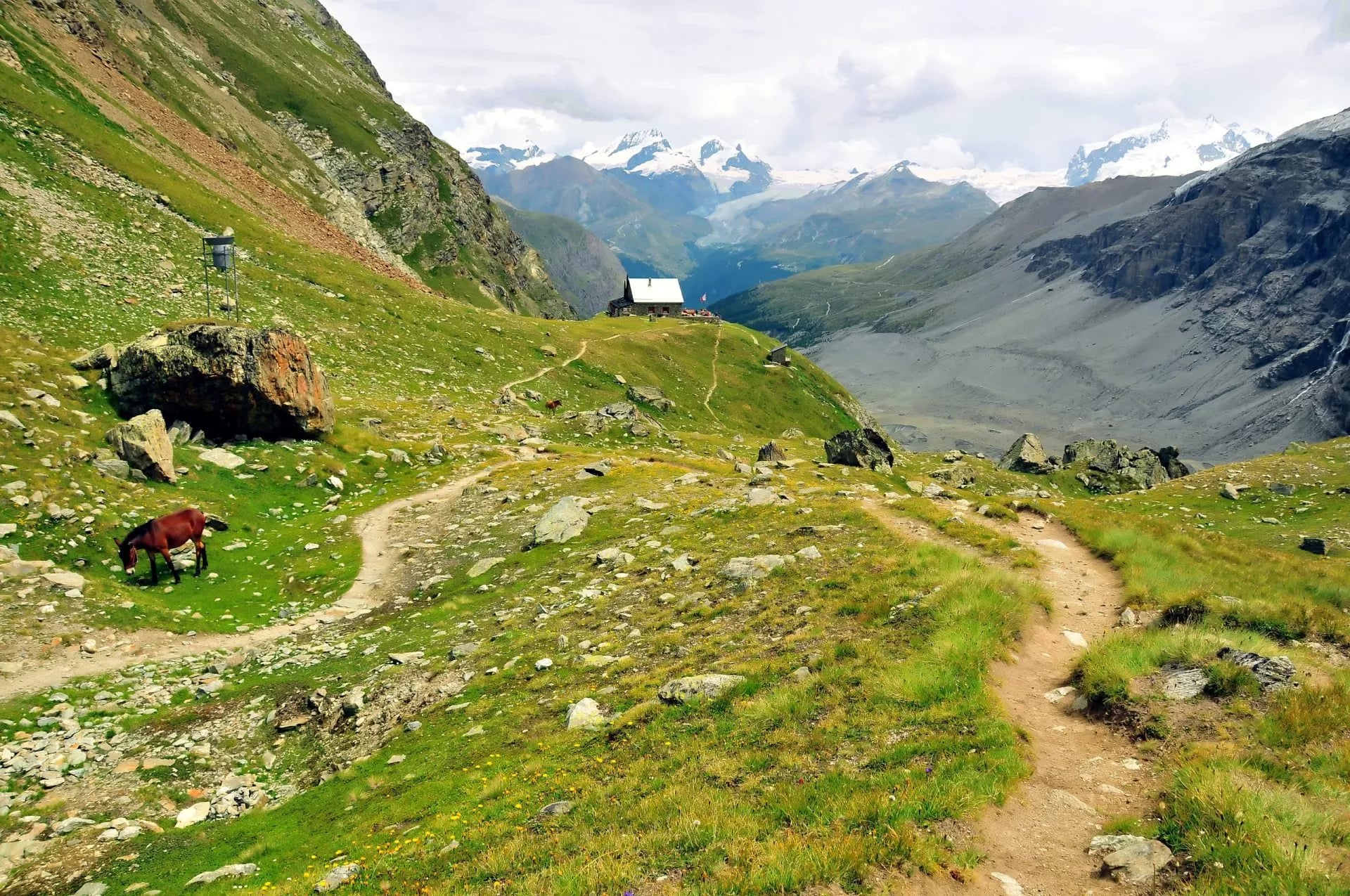
A descent, a valley crossing and a long climb back up the other side. The path drops off the moraine, works down the Zmutt valley past the reservoir and the old stone hamlets, then climbs again to the shelf at Schwarzsee.
It is the least dramatic stage and the most varied. You pass through the only real greenery of the route, with larch, cattle and running water, before the ground turns stony again on the long climb up the far side. The contrast is the point of the day rather than a lull in it.
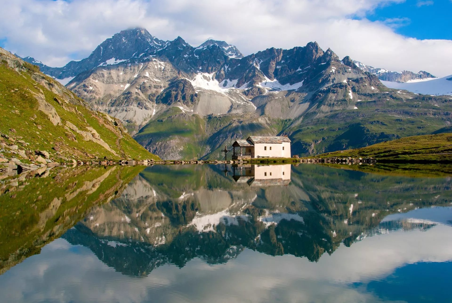
The lake sits at about 2,552 metres with a small white chapel on its shore and the Matterhorn standing directly behind it. It is one of the most photographed spots in the Alps and it earns the reputation, particularly in the hour after the last cable car has gone down and the day visitors have left.
That cable car is the useful part for a walker. Schwarzsee is connected to Zermatt by lift, so this is the easiest day to bail on the whole route if weather or legs give out. Nowhere else on the circuit offers a way down that does not involve walking it.
Stage 4: Schwarzsee to Gandegg Hut
Distance: 7 km
Ascent: 620 m
Descent: 180 m
Sleeping: Gandegg Hut, 3,029 m
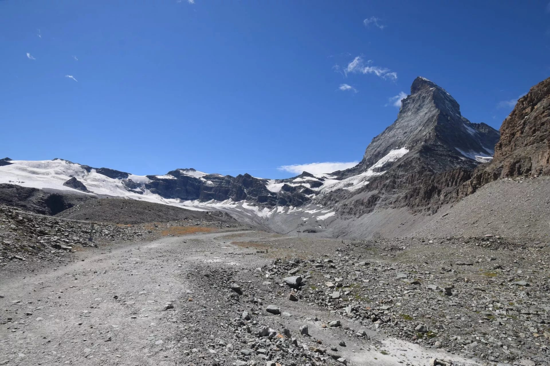
The high day, on the Glacier Trail across the mountain's eastern flank. The path traverses under the Matterhorn towards the Theodul area on bare rock and old ice-scoured slabs, with almost no vegetation for hours and very little shelter from wind.
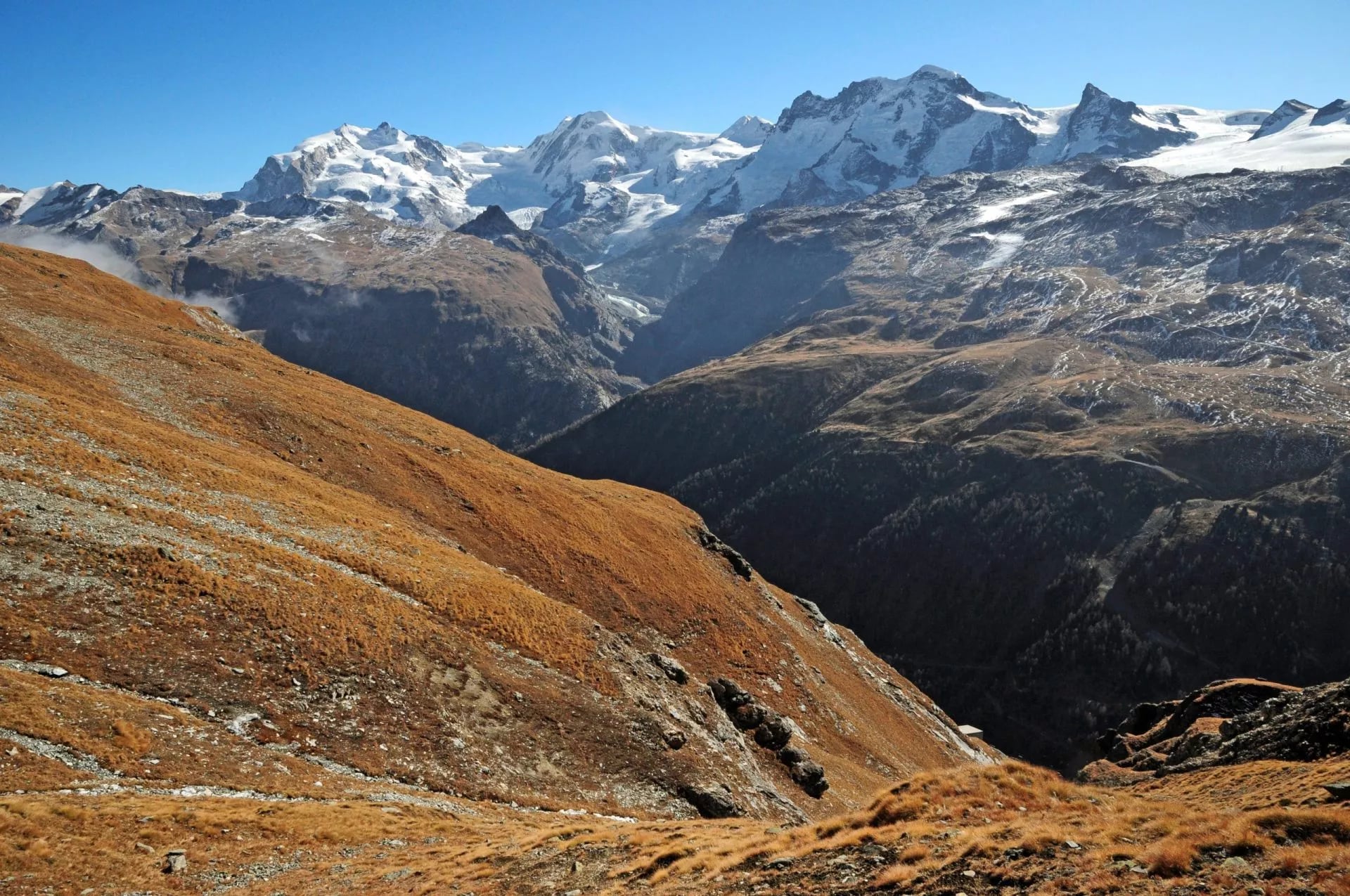
The company changes here, and it takes people by surprise. Monte Rosa and the Breithorn fill the view ahead, both of them broad white masses that make the Matterhorn look thin. It is the one stage where the famous peak is not the most impressive thing in front of you.
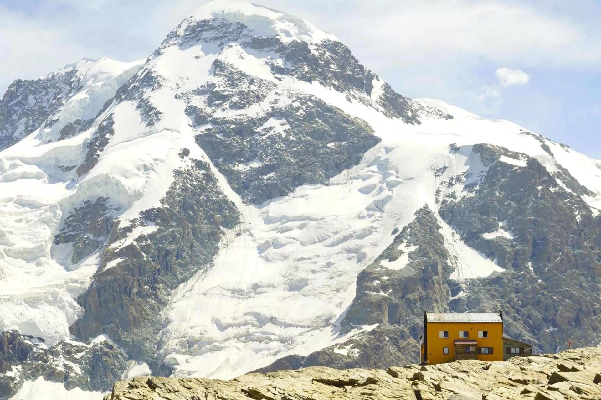
The Gandegg Hut sits at 3,029 metres on a rock island roughly halfway between the Matterhorn and the Breithorn, in a landscape that is mostly ice. This is the highest sleep of the week and the night where altitude is most likely to be noticed.
Its terrace looks straight onto the Theodul glacier, where summer skiing still runs. You may watch skiers in August from a table where you are eating dinner in a fleece, which is a strange and quite Swiss combination. The sun goes off the terrace early and the temperature drops with it.
Stage 5: Gandegg to Zermatt
Distance: 10 km
Ascent: 60 m
Descent: 1,460 m
Sleeping: Zermatt
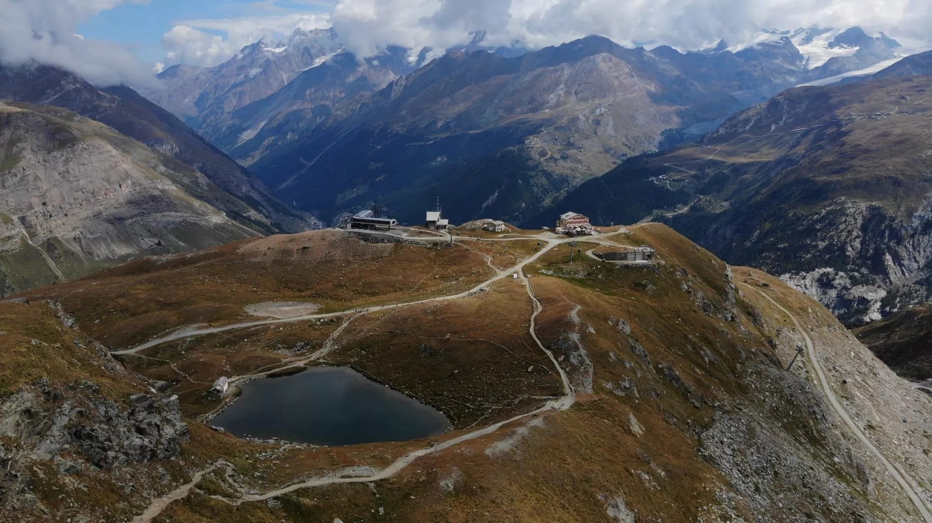
The way home, past Trockener Steg and down the eastern side of the valley. It is mostly descending, long on the knees rather than the lungs, which is a different kind of tiring after four days spent up high.
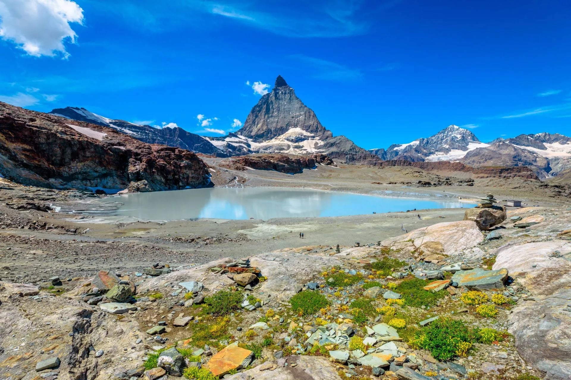
The meltwater is the thing to look at on the way down. The glacier you walked under yesterday drains into a chain of pools that are opaque turquoise from suspended rock flour, and none of it is drinkable however clean it looks from a distance. The colour is ground rock held in suspension, not sediment that will settle out.
There is a gondola at Trockener Steg for anyone who has had enough, and taking it is not cheating. Plenty of walkers ride the last section and spend the saved hours in Zermatt instead, which is a reasonable trade on the final day of a hut week.
Why Hike the Matterhorn
The summit is a serious mountaineering objective reached by the Hörnli ridge, and it is not a walk by any definition. Getting to the top needs rope work, crampons, a guide and a great deal of money.
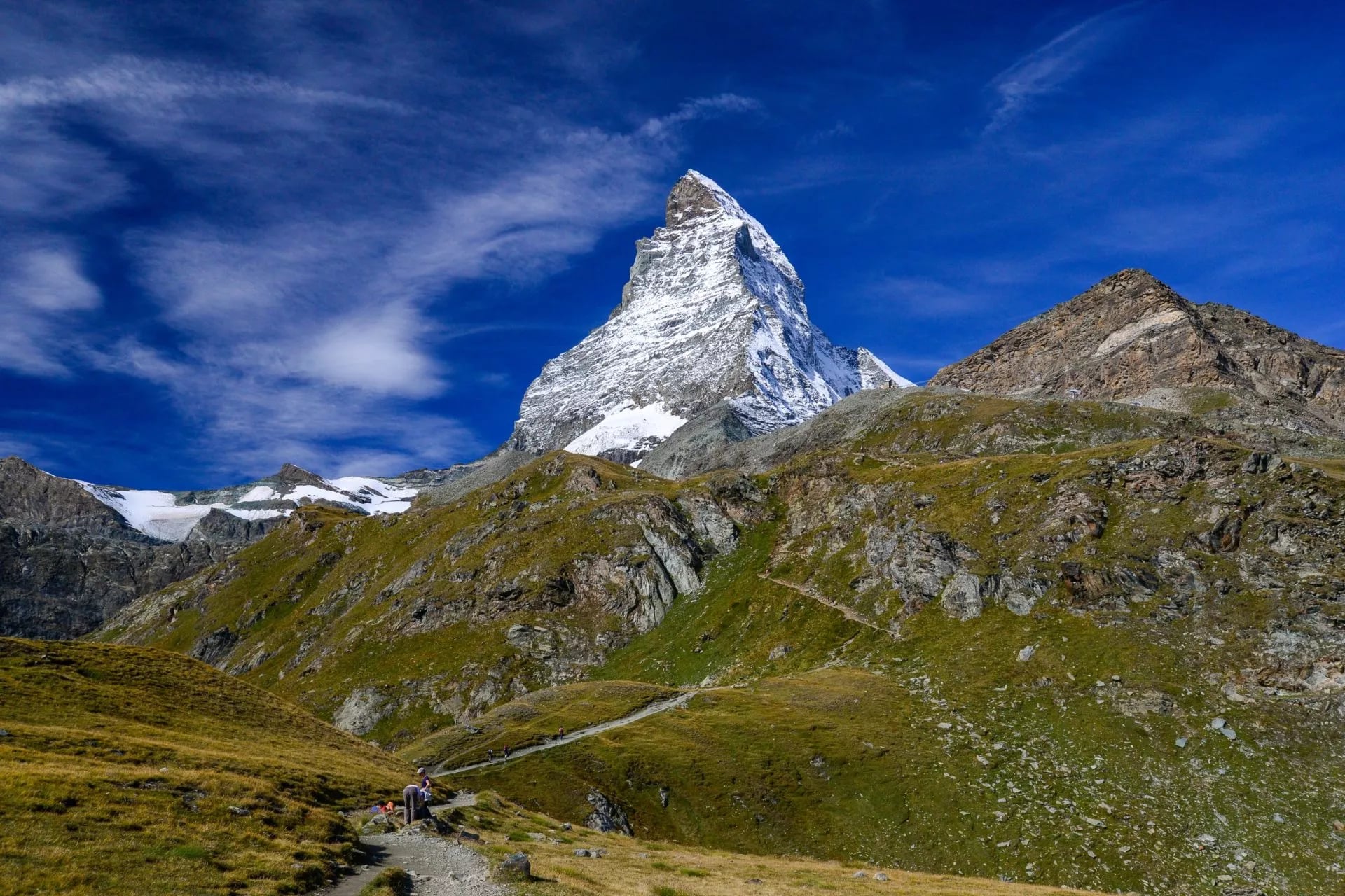
Here is the part people miss. The Matterhorn only looks like the postcard from one narrow angle, above Zermatt. Walk round to the Zmutt side and it becomes a long, ragged wall rather than a pyramid, which is a far stranger and more memorable thing to stand under.
The second argument is fitness. Our own week is graded fitness two of five and technique three of five, which is an unusual inversion. The days are short, between about 3.5 and 12 kilometres, and the difficulty sits in altitude and rocky ground rather than in hours of climbing.
The third is comfort. The week puts four nights in three star hotels with breakfast and only two in mountain huts, so you sleep in a dormitory twice. Most alpine circuits at this altitude ask for the opposite, and Matterhorn trekking has a reputation for austerity it does not entirely deserve.
And you finish where you started, in a village that has banned petrol cars since 1961. There is no logistics puzzle, no one way transfer and no hire car to collect. The whole week runs on trains and gondolas, which is rarer than it should be on a route this high.
What Matterhorn Hiking Involves
The mountain sits on the Swiss and Italian border above Zermatt, at the head of a valley running south from the Rhone. It is not the highest thing here, and it is not close. Monte Rosa next door is higher, and so are several peaks you will see every day of the walk.
What makes it famous is the shape and one afternoon in 1865. Edward Whymper's party of seven made the first ascent on 14 July 1865, and four of them died on the way down when the rope snapped below the summit. The disaster ended the golden age of alpinism and made Zermatt famous overnight.
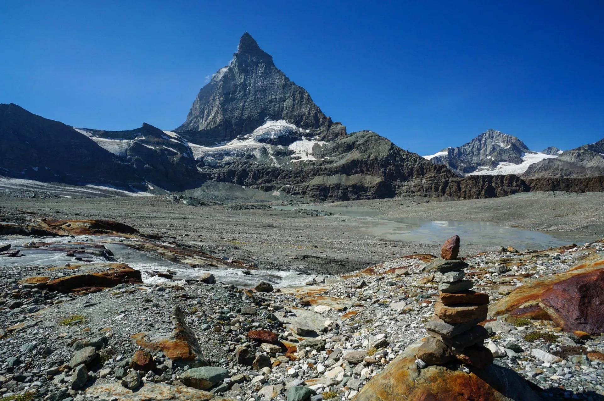
The walking terrain is glacial and young. You cross lateral moraines left by retreating ice, boulder fields, and stony traverses where the path is a line of cairns rather than a groove in the grass. There is very little soft ground anywhere above the treeline here, and that is what makes the route feel wilder than its modest daily distances.
The official Matterhorn Trek promoted by Zermatt runs about 50 kilometres over five days and includes a night at the Hörnli Hut at 3,260 metres, the base camp climbers leave from before dawn. Our version swaps that for a mountain hotel at Schwarzsee, which is lower, warmer and considerably easier to sleep at.
That swap is the single biggest decision on this route, and it is worth making deliberately rather than by accident. The Hörnli night is the atmospheric one, full of people racking gear at nine in the evening. The Schwarzsee night is the comfortable one, and the walking either side of it is much the same.
How Hard Is the Matterhorn Trek?
It is easier than it looks and harder than it sounds. Our grading is fitness two of five, technique three of five, and that gap is the whole story: the days are short, but the ground is rocky, exposed in places and high throughout.
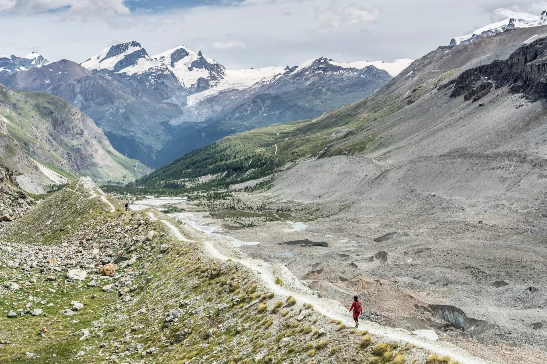
Daily distances run from 3.5 to 12 kilometres with 60 to 790 metres of ascent, which on paper is a gentle week. Then you spend it between 2,500 and 3,000 metres, where everything takes about a third longer than the same effort would at home.
Altitude is the real filter, not the climbing. Sleeping at 3,029 metres affects some people noticeably, and the trek gives you four days of steady acclimatisation before that night, which is the reason stage one is deliberately short. People who skip straight to the high huts have a worse time.
Nothing requires equipment beyond boots and poles. There is no via ferrata, no glacier travel and no scrambling that needs hands for more than balance, though there are exposed traverses where a slip would matter a great deal. Read mountain safety 101 before you go.
Best Time to Hike in Zermatt
The window is narrow. The huts and the trek run from early July to mid-September, and outside that the high traverses hold snow and the huts are shut. Our Swiss hiking seasons guide sets the region against the rest of the country.
July and August are the reliable months and also the busy ones, and hut beds in August go early. The first half of September is the sweet spot: stable weather, thinner crowds, cold clear mornings and the best light of the season on the north face above the Zmutt valley.
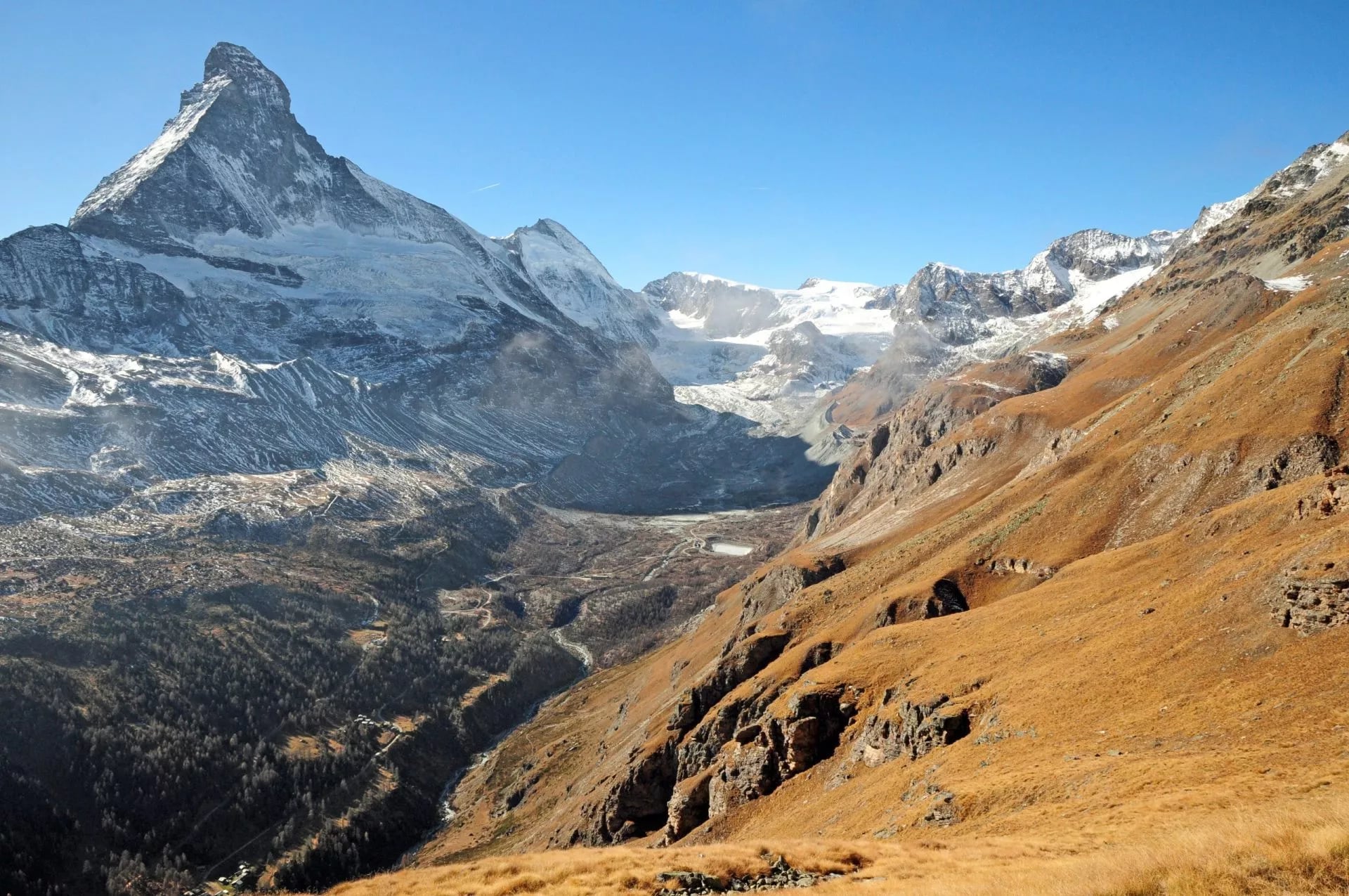
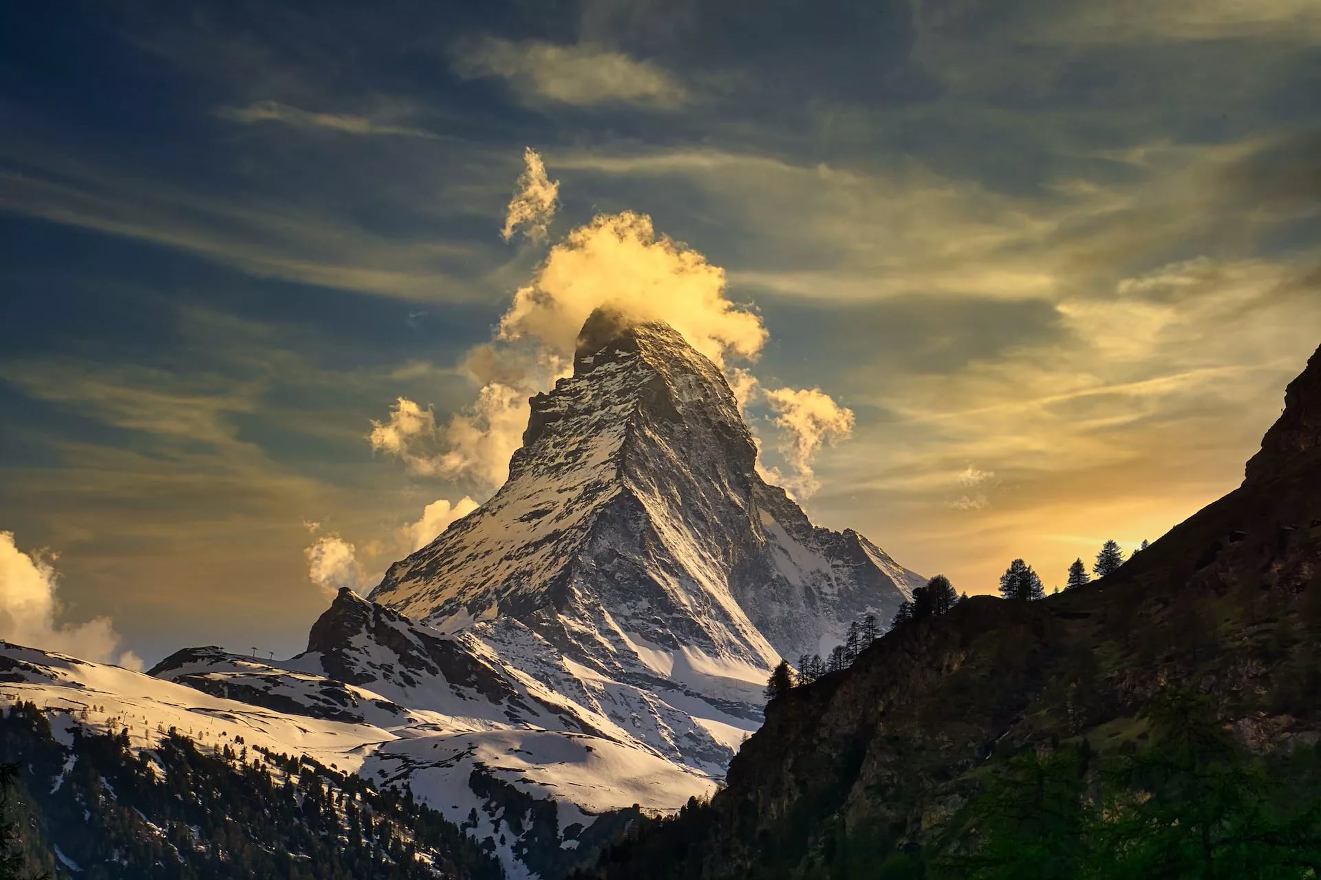
The mountain makes its own weather, which is the part no forecast fully solves. The Matterhorn spins a banner cloud off its summit in otherwise clear conditions, so a covered peak is not a bad day on the trail below. Wait an hour before giving up on the view.
For the daily forecast, MeteoSwiss is the national service and publishes a dedicated mountain outlook. Timing across the wider range is covered in our guide to the best time to hike in the Alps.
Matterhorn Huts and Mountain Hotels
This circuit mixes two kinds of accommodation, and the difference matters more than any star rating. Mountain hotels have rooms and showers, and Swiss Alpine Club huts have dormitories, blankets and a warden.
Our Switzerland hiking accommodation guide explains the distinction properly.
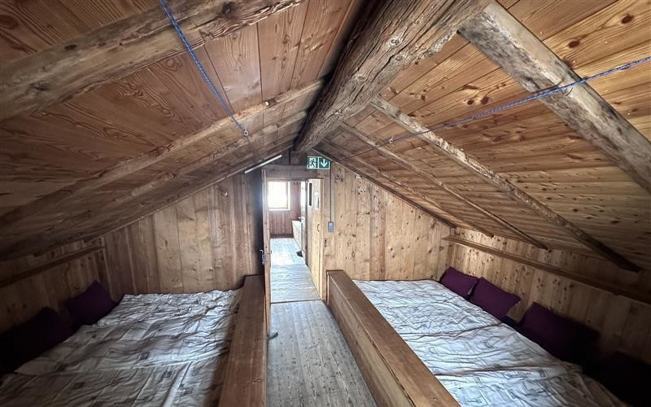
Berggasthaus Trift. A family run mountain inn above Zermatt, reached only on foot, and the first night of the route.
Schönbiel Hut, 2,694 m. A Swiss Alpine Club hut facing the Dent Blanche across the glacier, and the classic dormitory night.
Hotel Schwarzsee, 2,583 m. A mountain hotel beside the chapel and the lake, with a cable car to Zermatt at the door.
Gandegg Hut, 3,029 m. The highest night, on a rock island above the Theodul glacier with summer skiing overhead.
Hörnli Hut, 3,260 m. The climbers' base at the foot of the ridge, on the official route but not on ours.
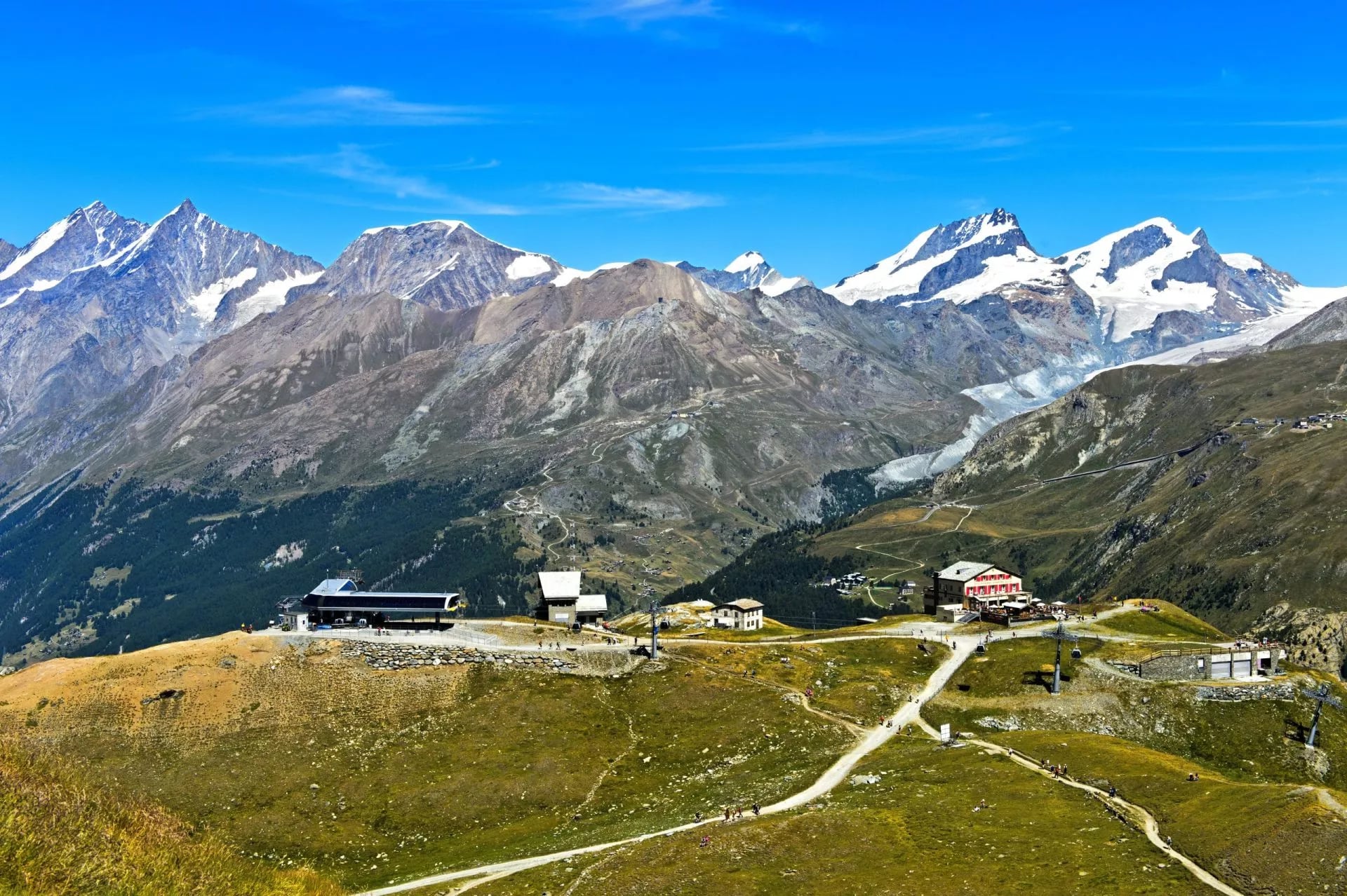
The two Swiss Alpine Club huts sit beyond any road, and they are the reason people come back from this route talking about the evenings rather than the walking. Schönbiel stands alone on a shoulder of moraine with the Dent Blanche filling the window, and the nearest road is hours below it in any direction.
Gandegg is higher again and colder with it, on bare rock above the glacier rather than on grass. The two mountain hotels at Trift and Schwarzsee sit at the other end of the scale, with rooms, doors that shut and hot water, which is a large part of why this circuit suits people who would rather not spend five nights in a dormitory.
Book early and book the whole chain together. These huts serve climbers as well as walkers, so August weekends fill months ahead, and a full hut has no overflow because the next bed is a valley away rather than an hour down the path.
Bring a sleeping bag liner for the hut nights and indoor shoes for every night. Cards work in most places up here now, but carry francs for the huts, where the reader depends on a signal that is not always there and the warden will not be delighted.
A Night in a Swiss Mountain Hut
If you have never done this, the routine surprises people, and knowing it in advance removes most of the awkwardness. Boots come off at the door into a rack in the porch, and the hut hands you a pair of communal clogs for indoors. Nobody walks through a hut in mountain boots.
Dinner is at a set time, usually early, and there is one menu for everybody at long shared tables. You will eat soup, something substantial and a pudding, sitting next to strangers, and the wardens run it like a household rather than a restaurant. Tell them in advance about allergies, not on the night.
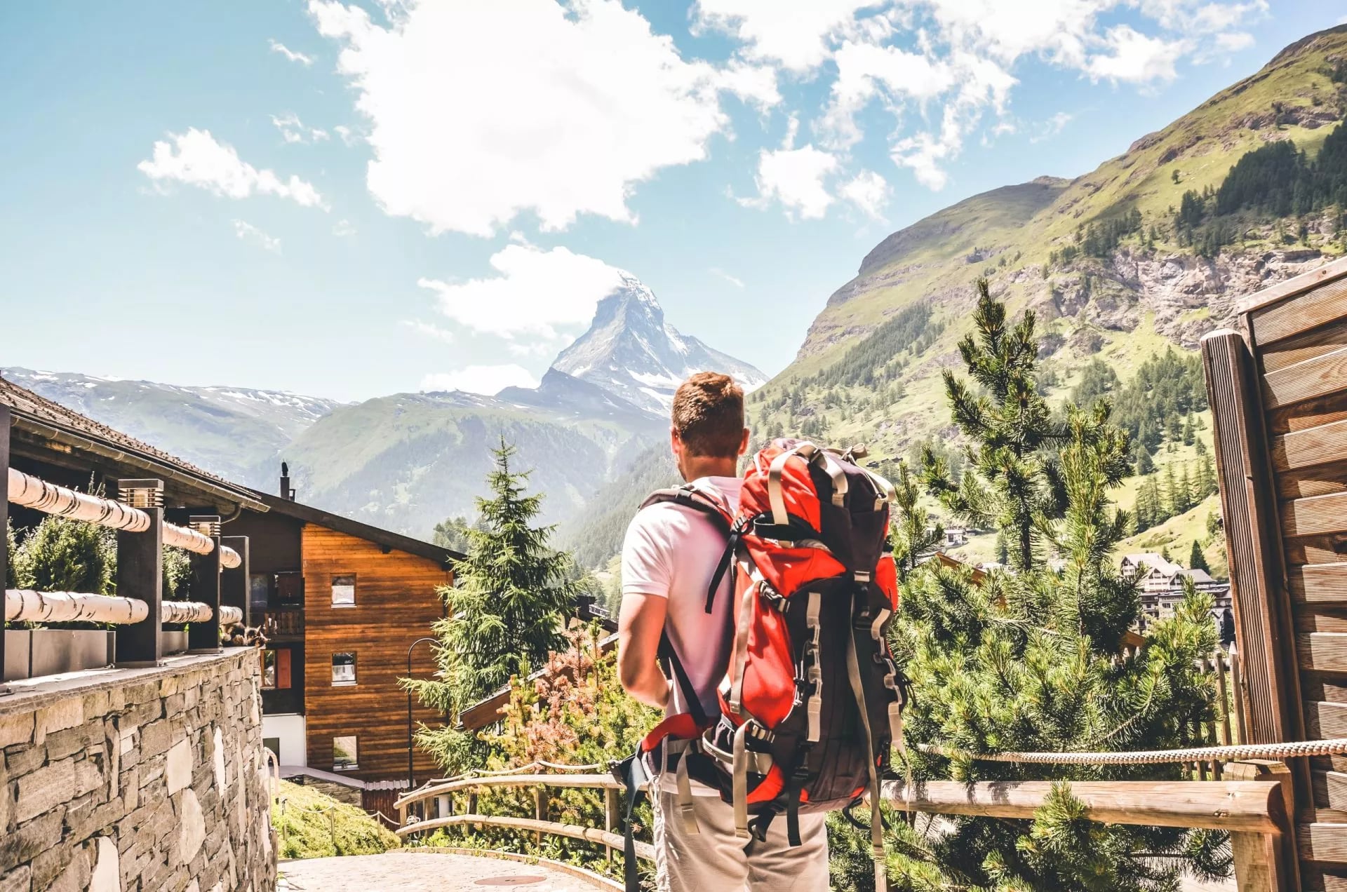
The sleeping is dormitory. You get a mattress, a pillow and blankets, and no sheets, which is why a liner is not optional. Rooms hold anywhere from four to twenty people, and the highest huts use a single long platform rather than beds, so earplugs earn their weight many times over.
Expect an early night and an earlier morning. At the Schönbiel and Gandegg huts you are sharing with climbers, and anyone going up leaves at three or four, quietly but not silently. Breakfast for walkers follows once they have gone.
Washing is basic and rationed. There is cold running water and, at a Swiss Alpine Club hut, usually no shower at all, because every litre up there was pumped, melted or flown in. Two days without a shower is part of the deal.
Settle up before you leave in the morning, in cash. And if your plans change, telephone the hut rather than emailing, because a no-show holds a bed that somebody walking up that afternoon would have taken.
Best Matterhorn Viewpoints
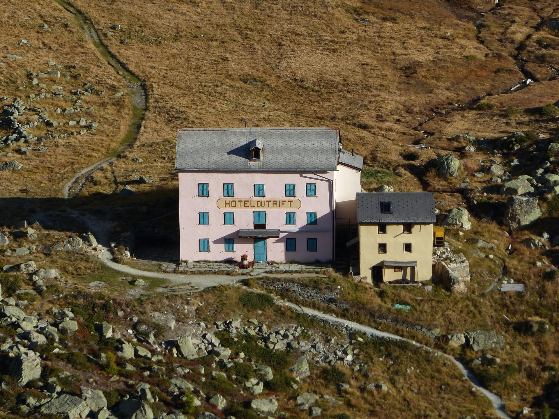
Not everyone wants five days of it, and Zermatt is unusually good at delivering the mountain to people who only have an afternoon or a spare day at either end of the trek. These four are worth the ticket, and all of them are reachable from the village on public transport.
Gornergrat is the obvious one, a cog railway climbing to 3,089 metres on what was the world's first fully electrified rack line. It puts you level with the Gorner glacier and a wall of four thousanders, with the Matterhorn standing off to the west rather than filling the view.
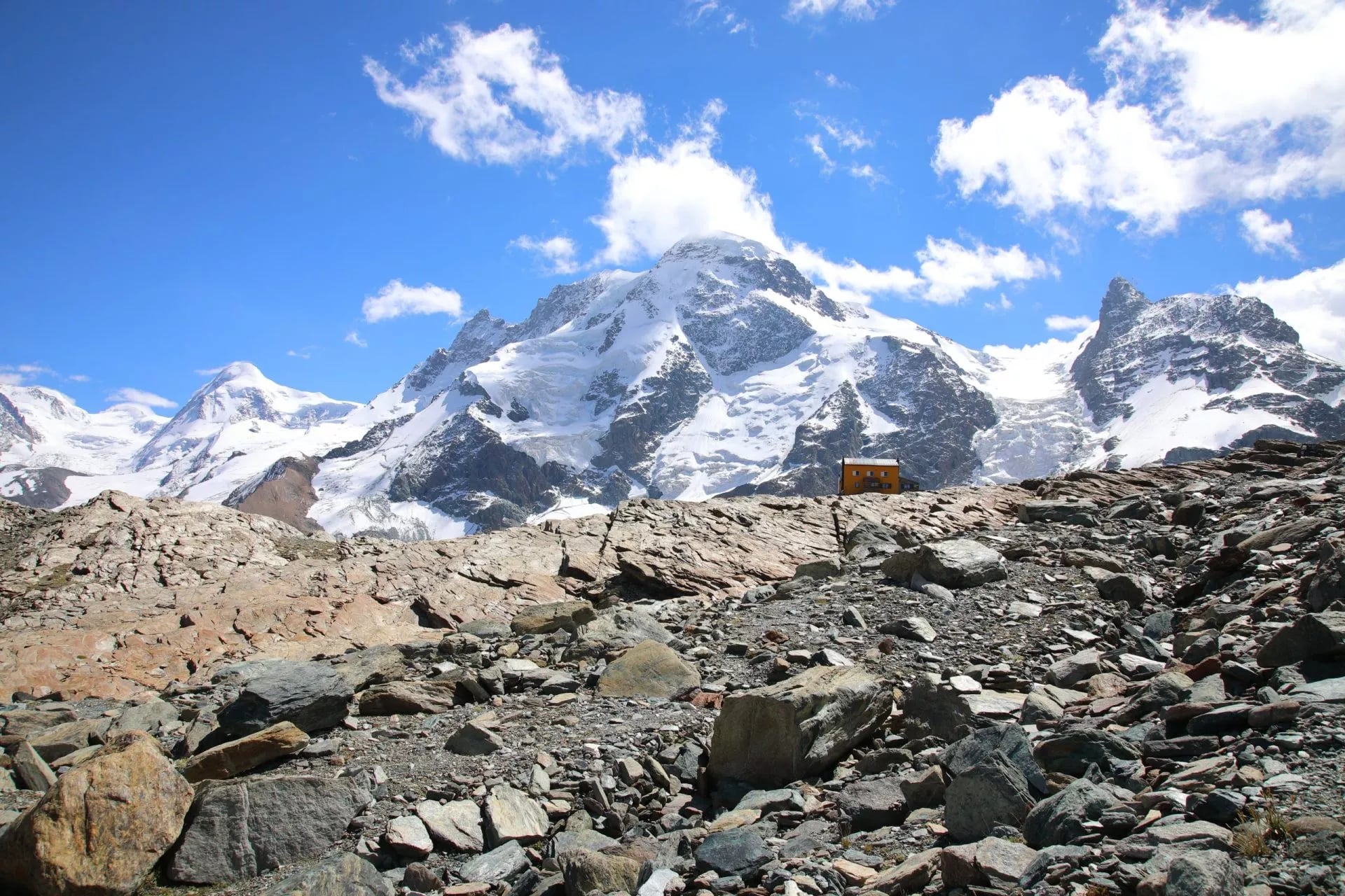
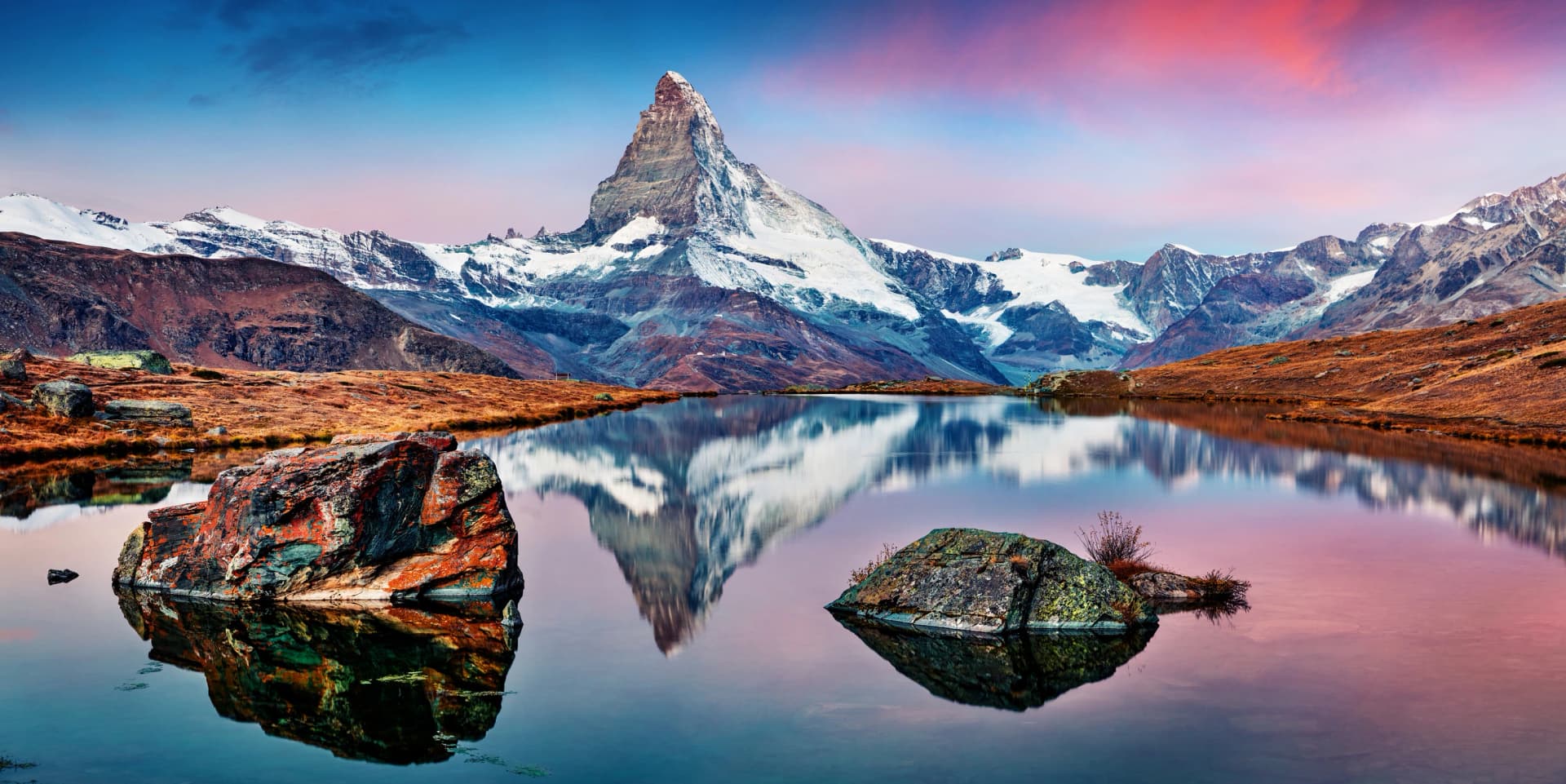
The Five Lakes Walk is the famous reflection hike, and here is the detail almost nobody prints. It passes five lakes and only three of them reflect the mountain: Stellisee, Grindjisee and Leisee, on a still morning. Grünsee and Moosjisee do not, whatever the photographs on the booking sites suggest.
Riffelsee is a separate lake on the Gornergrat line and gives the cleanest reflection of any of them. It is a short walk down from Rotenboden station, and early morning is the only reliable time, because the surface roughens as soon as the day warms and the wind gets up.
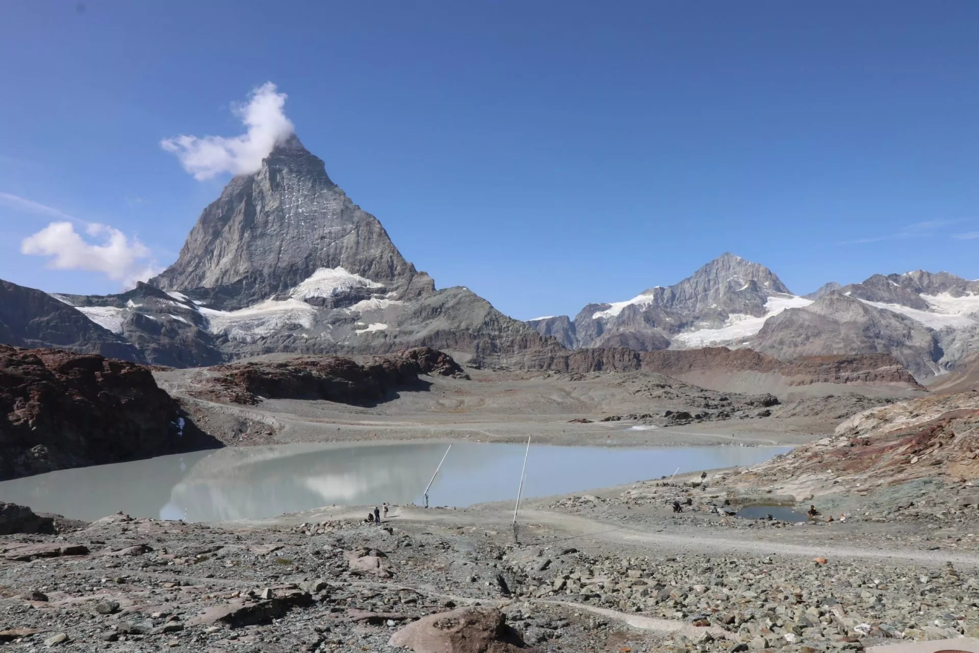
Matterhorn Glacier Paradise on the Klein Matterhorn is Europe's highest mountain station at 3,883 metres, reached entirely by cable car. It is spectacular and it is a viewing platform rather than a walk, so treat it as a bad weather day rather than a hiking one.
Zermatt and Why It Has No Cars
The village sits at about 1,620 metres and has banned combustion engine vehicles since 1961, which is why the first thing you notice on arrival is the sound. Small electric taxis and horse carriages do the work, and everything else moves by train or on foot.
If you drive, you stop at the Matterhorn Terminal in Täsch, which holds 2,100 covered parking spaces, and take the shuttle train the last stretch. It runs every twenty minutes and the ride takes twelve, so the car park is a mild inconvenience rather than a real obstacle.
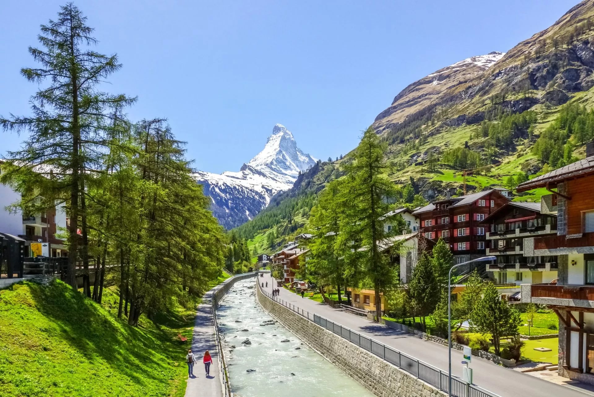
The result is a village that feels older than its tourism. The main street still has the timber granaries raised on flat stone discs to keep rats out of the grain, standing between the hotels, and the mountain closes the view at the end of it like a piece of stage scenery.
The 1865 story is still on display here, and it is worth an hour on the arrival or departure day. The Matterhorn Museum sits under the village square and holds the rope that snapped, the actual one, alongside a reconstruction of nineteenth century Zermatt.
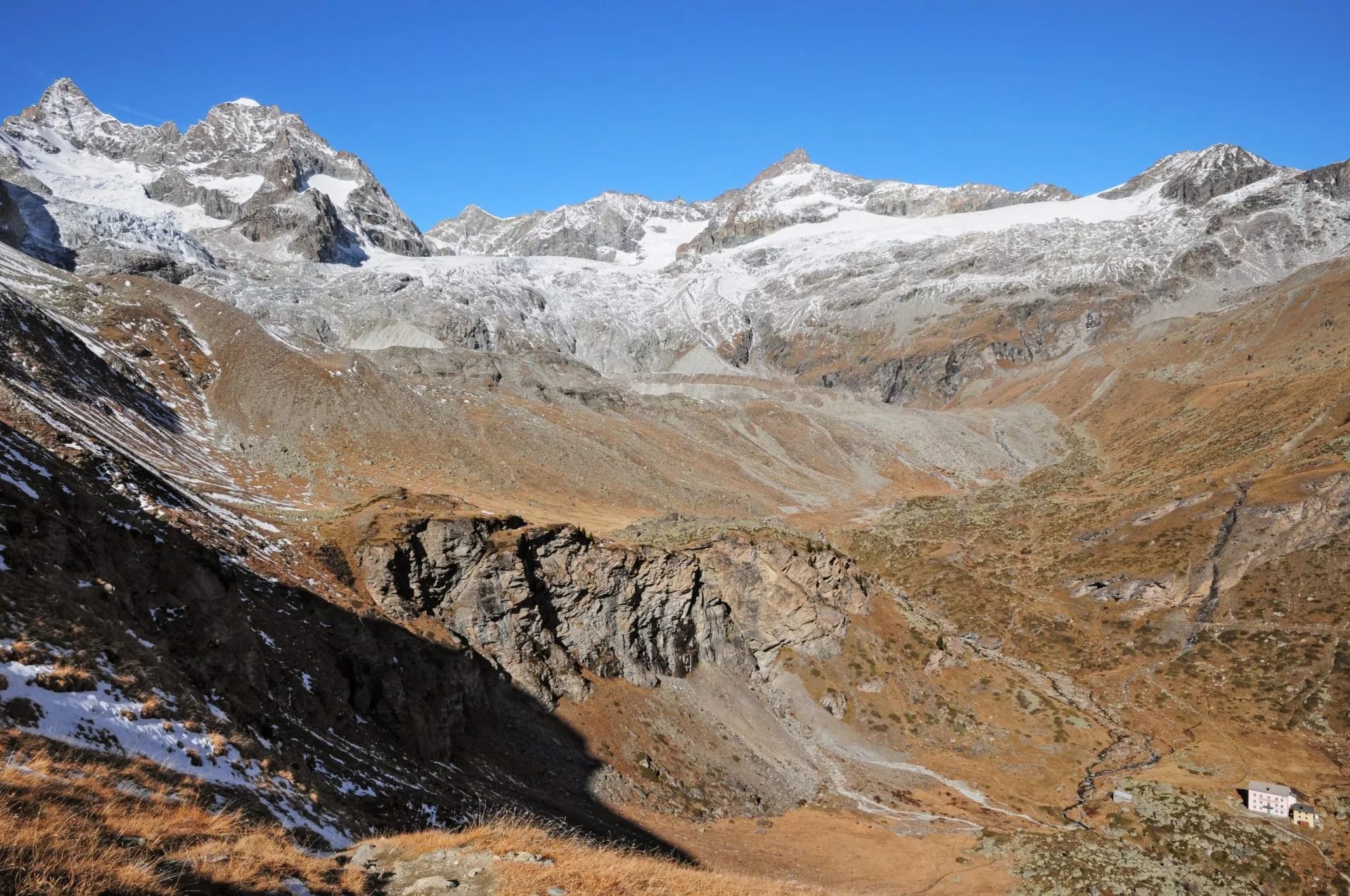
One mountain, three names. It is the Matterhorn in German, Monte Cervino on the Italian side and Mont Cervin in French, and the border runs across the summit, which is why the peak belongs to two countries and neither.
You have also been looking at it your whole life without noticing. For most of the last century the mountain on a Toblerone wrapper was this one, with a bear hidden in the shading as a nod to Bern, where the chocolate was made. It was dropped when production moved out of Switzerland.
Getting to Zermatt and Away
Zermatt is reached by train and only by train. From Geneva or Zurich you change at Visp onto the Matterhorn Gotthard line, and the last hour up the valley is one of the better railway approaches anywhere in the Alps.
Once you are there, the lifts do the vertical work you do not want to do yourself. The Gornergrat railway, the Schwarzsee cable car and the Trockener Steg gondola all touch this route, which is why bad weather never strands you here the way it can on a linear trek across a range.
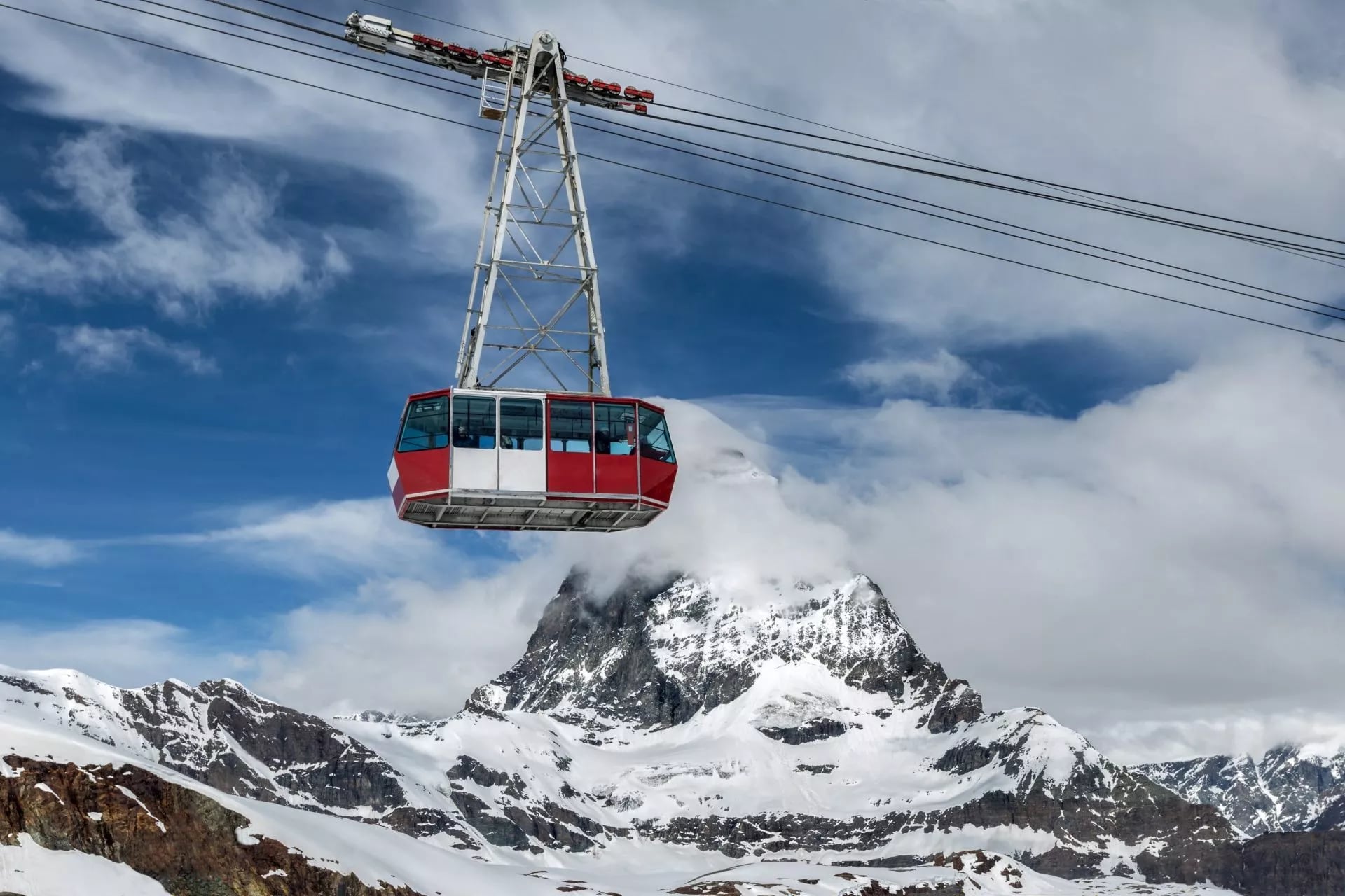
Coming out is the same in reverse, and because the trek is a loop you leave from where you arrived. There is no second transfer to book and no bag to shuttle over a col.
Our Matterhorn Trek Tour
Our Matterhorn Trek is self-guided, with a digital guidebook, GPS navigation and support while you walk. Our hut-to-hut tours page explains how the format works in practice.
Matterhorn Trek
Distance: about 3.5 to 12 km a day
Ascent: about 60 to 790 m a day
Sleeping: four nights in 3-star hotels with breakfast, two nights in mountain huts with half board
Season: July to September
Grade: fitness 2, technical 3
Seven days covers five walking stages with an arrival and a departure day in Zermatt, which is the right shape for anyone flying in. Day two climbs the Trift gorge, day three takes the Höhbalmen balcony to Schönbiel, day four crosses the Zmutt valley to Schwarzsee, and day five is the Glacier Trail to Gandegg.
Day six comes down past Trockener Steg into the village. The huts and hotels are booked for you, which on a circuit that shares its beds with climbers is the part worth handing over, and the tourist tax is the only thing left to settle locally.
What to Pack for the Matterhorn
There is no bag transfer on a hut route, so everything on this list is carried on your back for five days. A 25 to 45 litre pack is the right size, and anything larger just fills up.
On your feet. Ankle-supporting hiking boots rather than trail shoes, sports socks, and poles for the descents, which is where this route does its damage.
Layers. Base layer, sports shirts, hiking shorts, water-repellent trousers, a midlayer and a waterproof jacket. Add gloves and a warm hat.
A down jacket, in August. This is the one people leave at home and regret. You sleep at 3,029 metres at the Gandegg hut, and terraces at that height are cold the moment the sun goes off them.
Sun protection. Sunglasses, sunscreen and a shade cap. The Glacier Trail crosses bare rock and ice with nothing to stand under for hours, and the glare off the Theodul glacier does the rest.
Hut kit. A sleeping liner, which is compulsory, plus indoor shoes, a headlamp for corridors and early starts, and earplugs for the dormitory nights.
Water and food. Two bottles or a bladder holding at least two litres for the Glacier Trail, plus snacks. Meltwater on this route is not drinkable.
Admin. Passport or ID card, Swiss francs, a small first aid kit, toilet paper and basic toiletries. Cash matters more than usual here.
Evenings. Something dry and comfortable to change into. Leisurewear weighs almost nothing and transforms a hut evening after six hours on rock.
Know Before You Arrive
This is the section to read the week before you fly.
Payment. Carry Swiss francs for the huts and the mountain inns, where card readers depend on a signal. Zermatt itself takes cards everywhere.
Water. Fill up at the huts. Streams below the glaciers run grey with rock flour rather than clean, so treat the meltwater as unusable and carry two litres on the Glacier Trail.
Maps and navigation. The waymarking is good but the high traverses are cairned rather than trodden. Carry the national 1:50,000 sheet or an offline track, not a phone map that needs a signal.
Rescue and insurance. Alpine rescue in Switzerland is billed to the person rescued and helicopters are not cheap, so check your policy covers mountain rescue and walking above 3,000 metres.
Altitude. Most nights on this route are spent above 2,000 metres and one at 3,029. Drink more than feels necessary, and treat a broken night's sleep at Gandegg as normal rather than alarming.
Sleeping kit. Swiss Alpine Club huts give you blankets but not bedding, so a liner is compulsory for the hut nights, plus indoor shoes. Our Switzerland packing guide has the full list.
Reservations. Book beds before flights. On this circuit the huts serve climbers too, so availability moves your dates, not the weather forecast.
Frequently Asked Questions
Choosing Your Matterhorn Trip
If you want the mountain from every side rather than from a viewing platform, the Matterhorn Trek is the trip: five walking days, a balcony traverse under the north face, a night at 3,029 metres and a chapel on a lake at the end of the third stage. September is the pick, for the light and the space.
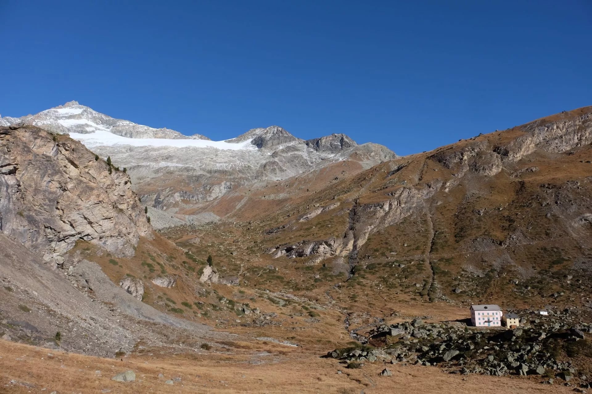
It is the right choice when you want an alpine week that looks far harder than it asks, when a hut every night is more than you fancy, and when you would rather leave the summit to the people with ropes. The mountain does not get any smaller from the path.
Still weighing it up? Get in touch with our team and we will shape the week around your dates →

About this author
Jon is our travel advisor and an outdoor adventurer who is happiest on the move. While mountain biking is his personal passion, he thrives on crafting hiking adventures for others — planning routes and adding the little touches that turn a trip into a core memory.















































.jpg&w=828&q=75)





















