Hiking in Scotland: 5 Trails and the Law That Opens Them
What hiking in Scotland really asks of you: the access law, the midge calendar, deer stalking dates, and the five waymarked trails worth taking leave for.

Suzana
Published September 9, 2026
Edited September 29, 2026
23 min read
Quick links
Don't want to read all this?
We've planned 2,000+ hiking trips. Send your dates, fitness and group size — we'll map the route and book every night.



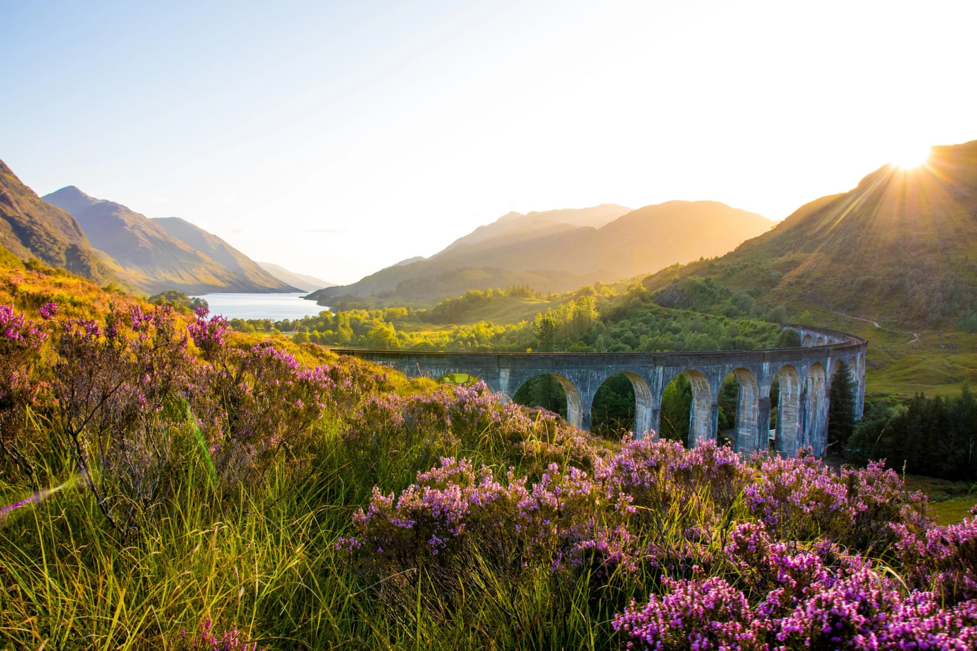
Hiking in Scotland can start on a Glasgow commuter train. Milngavie station, about 25 minutes from the city centre, sits at the start of the West Highland Way, and 154 kilometres later the same path ends under Ben Nevis, the highest mountain in Britain. In between you cross the fault line where the Highlands begin, walk the length of Loch Lomond and spend a day on Rannoch Moor with nowhere to shelter for about 15 kilometres.
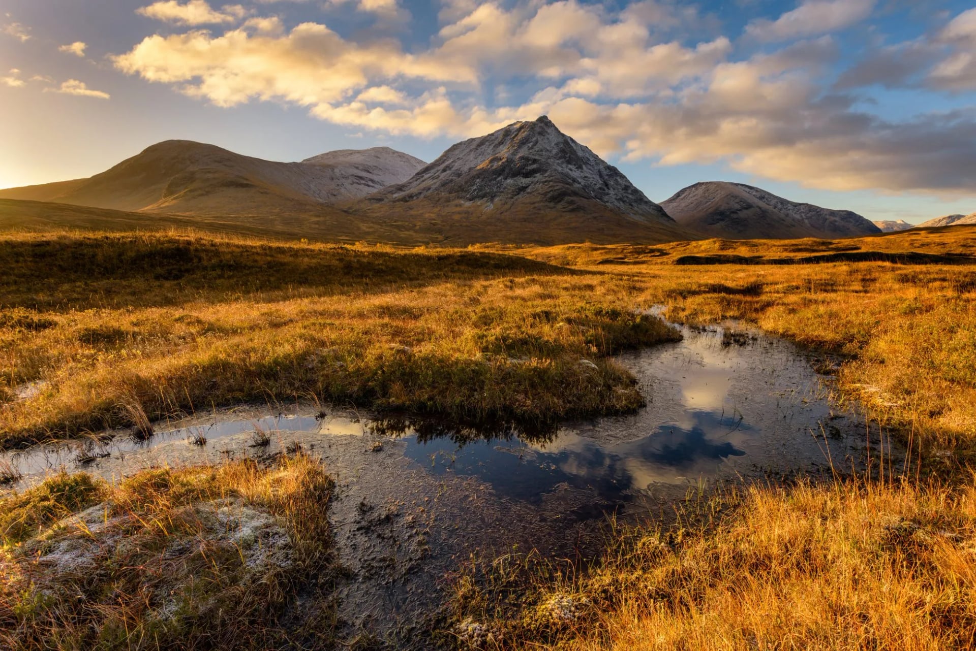
That is one of the five waymarked trails in this guide, and none of them needs a hire car. The bigger surprise starts where the waymarks stop. Step off the path and the law lets you keep going, across almost any land you like, and you can sleep on most of it.
The Land Reform (Scotland) Act 2003 gave everyone a right of responsible access to nearly all land and inland water, and the access provisions came into force in February 2005.
England and Wales have no general equivalent. Walk south of the border and you are back on a network of rights of way with the ground between them closed to you, which is the difference our ultimate guide to hiking in Wales is written around. Hiking in Scotland starts from a legal position no other part of Britain shares. Our guide to hiking in the UK sets all three countries side by side.

In practice that right changes how you plan a walk. You can leave a waymarked trail for a ridge that looks better, pitch a tent where the evening light is rather than where a campsite happens to be, and join two glens that no official path connects. Walkers who learned the rules in England or the Alps spend their first day here expecting to be moved on, and the rest of the week realising that nobody is coming.
That freedom is also why our Scotland walking holidays can run inn to inn straight across open hill country, instead of threading a narrow corridor of rights of way the whole distance. What the law does not do is make the country easy. The same emptiness that lets you camp on an open hillside puts you hours from help when the weather turns, and it turns faster here than most visitors plan for.
5 Best Hiking Trails in Scotland
Scotland's waymarked routes sit inside the Scotland's Great Trails network. Most lists of the best hikes in Scotland stop at single summits you can do in a day, but the five routes below are the ones that fill a week, and each works as a first or second Scottish trip.
1. West Highland Way
Distance: 154 km (96 mi)
Typical days: 5 to 8
Waymarked: yes, seven official stages
Start and finish: Milngavie to Fort William
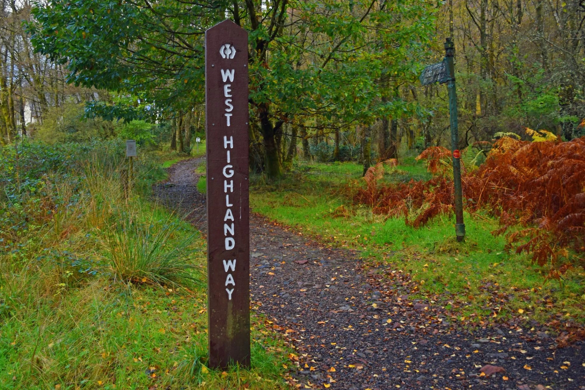
Ninety-six miles, or about 154 kilometres, from a Glasgow suburb to the foot of Ben Nevis. It runs in seven official stages from Milngavie to Fort William. It is the most walked trail in Scotland and the one that gets people hooked on the country.
Two sections do the damage. Loch Lomond's east shore is slower than its distance suggests, because the path turns to root and boulder for several miles. The Devil's Staircase then climbs steeply out of Glen Coe before dropping to Kinlochleven.
Neither section is technical, and neither needs a scrambling head or any equipment beyond boots. Both punish anyone who arrived untrained, and the later stages are where that shows. That is why training for hiking matters more on this trail than on the other four.
2. Great Glen Way
Distance: 125 km (78 mi)
Typical days: 5 to 7
Waymarked: yes
Start and finish: Fort William to Inverness
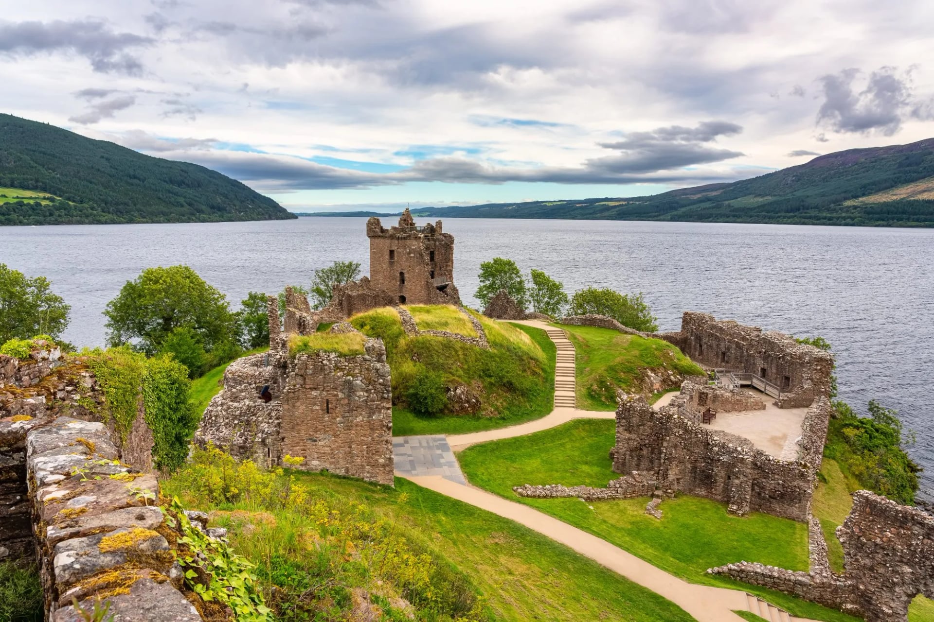
Roughly 125 kilometres from Fort William to Inverness, along the geological fault that splits Scotland in two. The walking is canal towpath, forest track and a high-level option above Loch Ness. Neptune's Staircase and the ruins of Urquhart Castle both sit on or beside the line.
This is the easiest of the classics underfoot and the best first multi-day trail in Britain. Stages run long towards the end, with the final push into Inverness over 30 kilometres. That stage splits or shuttles without difficulty, so the length is a scheduling question rather than a fitness one.
3. Rob Roy Way
Distance: 127 km (79 mi)
Typical days: 6 to 8
Waymarked: yes
Start and finish: Drymen to Pitlochry
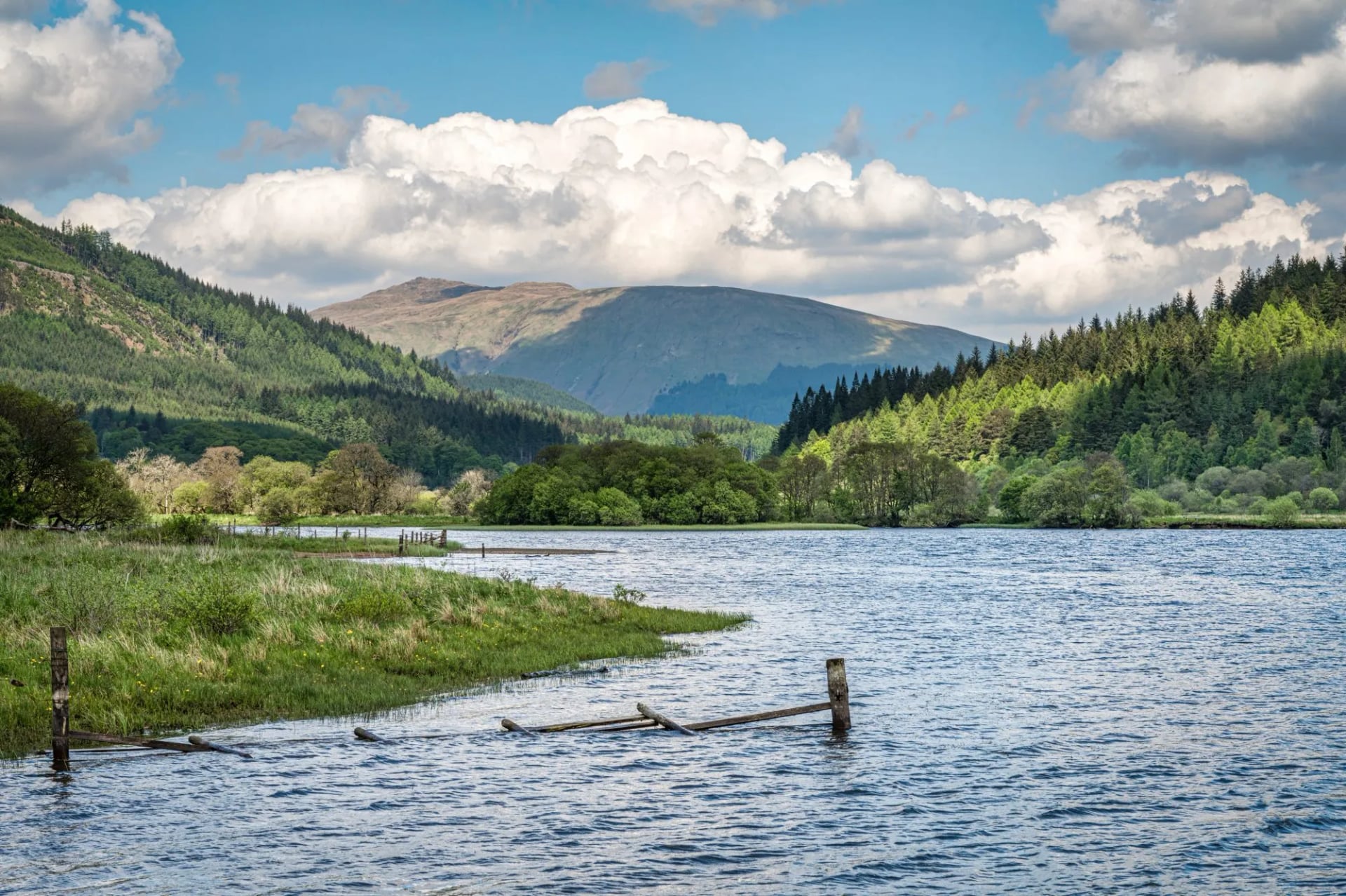
Some 127 kilometres from Drymen to Pitlochry, through the country of the 18th-century outlaw Rob Roy MacGregor. It crosses the Menteith Hills, runs the length of Loch Lubnaig and climbs to the Glen Ogle viaduct. The last day drops through the Birks of Aberfeldy into Perthshire.
Daily stages run longer than on the Great Glen Way, and the trail is considerably emptier than the West Highland Way. It is the obvious second Scottish trail once the famous one is done.
4. Speyside Way
Distance: 137 km (85 mi), plus a 25 km spur
Typical days: 6 to 9
Waymarked: yes
Start and finish: Buckie to Newtonmore
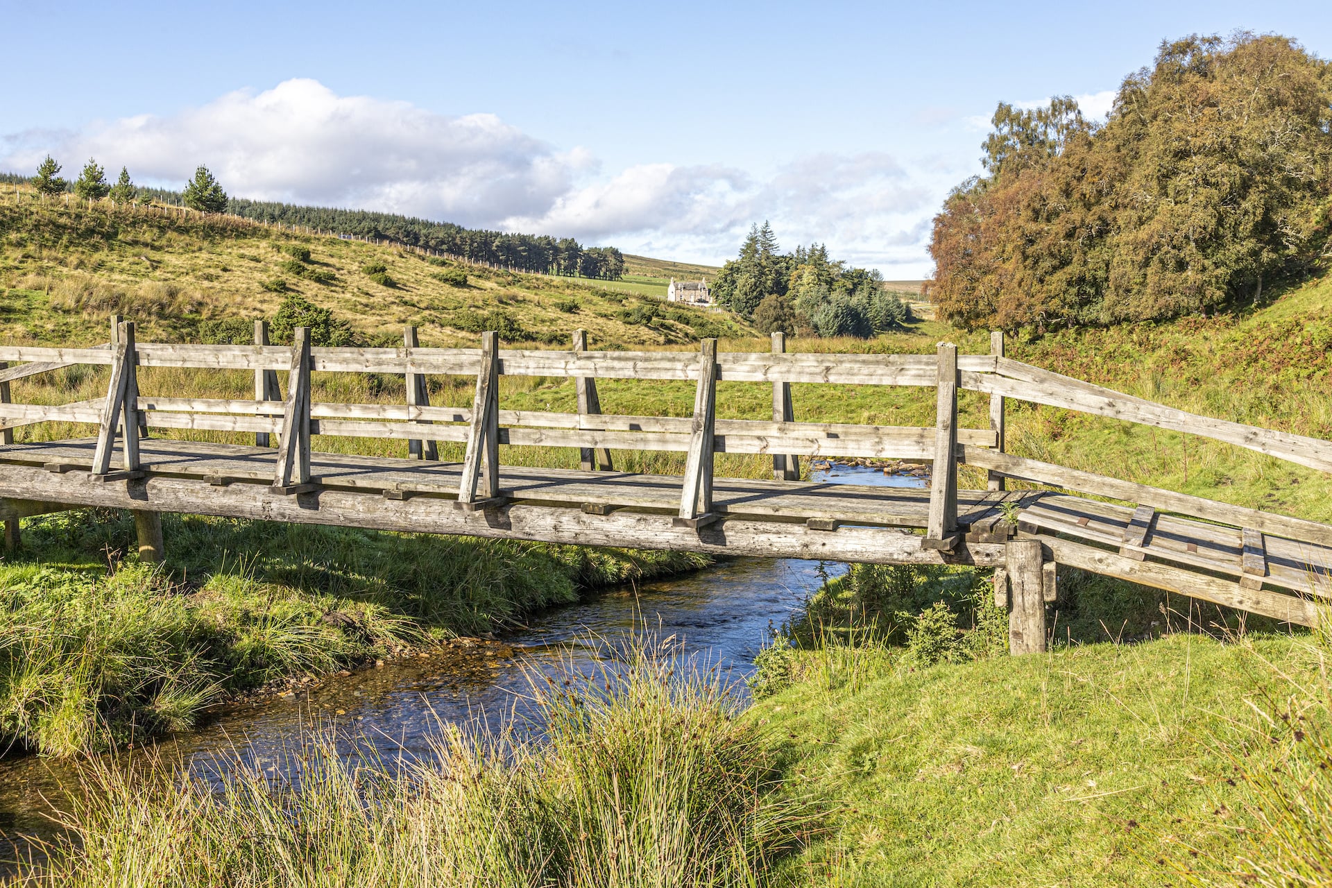
Around 137 kilometres from the Moray coast to Newtonmore, through a region with more than fifty working distilleries. It is the flattest of the Great Trails for most of its length, following the River Spey upstream through farmland and woodland. Speyside makes the majority of Scotland's single malt, and the path runs up the middle of the region.
A 25 kilometre spur leaves the main route for Tomintoul, the highest village in the Highlands, and adds around 865 metres of climbing. That spur is the scenic half and the one our own week takes, from Craigellachie. Glenfiddich, Aberlour and Glenlivet all sit within reach of the path.
5. Southern Upland Way
Distance: 344 km (214 mi)
Typical days: 12 to 16
Waymarked: yes
Start and finish: Portpatrick to Cockburnspath, coast to coast
Britain's first official coast-to-coast route, crossing the Borders from the Irish Sea to the North Sea. It is more than twice the length of the West Highland Way and carries a fraction of the traffic, through grass hills and forestry rather than rock.
The catch is supply. Stages between villages run long, some sections have no accommodation at all, and walkers use bothies and stashed food boxes to bridge them. Booked-bed packages for the full route exist but run to about two weeks, so many people walk it in halves.
Two Bonus Trails in Scotland
Two celebrated routes carry no waymarks at all and sit outside the five above. They are here so you can rule them out on purpose rather than by accident, or plan one properly if you already have the navigation and camping skills they ask for.
Cape Wrath Trail
Distance: ~370 km (230 mi)
Typical days: 16 to 22
Waymarked: no, and no fixed line
Start and finish: Fort William to Cape Wrath
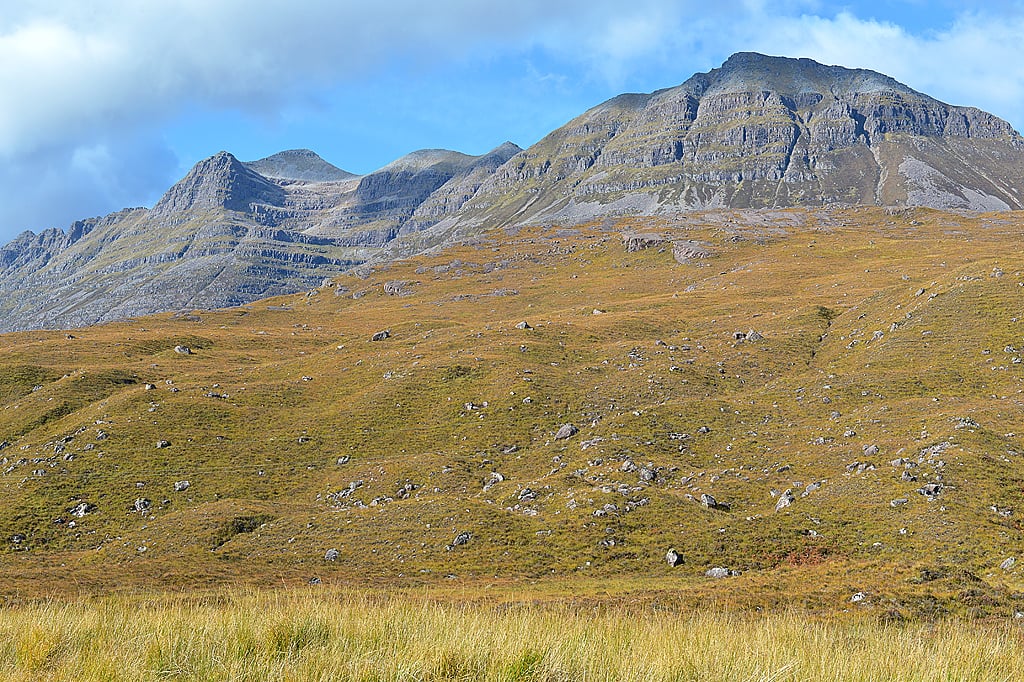
This is the hardest walk in Britain, and the reason to know about it is to rule it out. There is no official route, no waymarking, no baggage service and no accommodation infrastructure along it.
Unbridged river crossings become impassable after rain, and resupply gaps run to several days. It is superb ground for experienced backpackers with real navigation skills. It is not a first Scottish trail, and it is not a holiday.
Skye Trail
Distance: ~128 km (80 mi)
Typical days: 7
Waymarked: no
Start and finish: Rubha Hunish to Broadford, on Skye
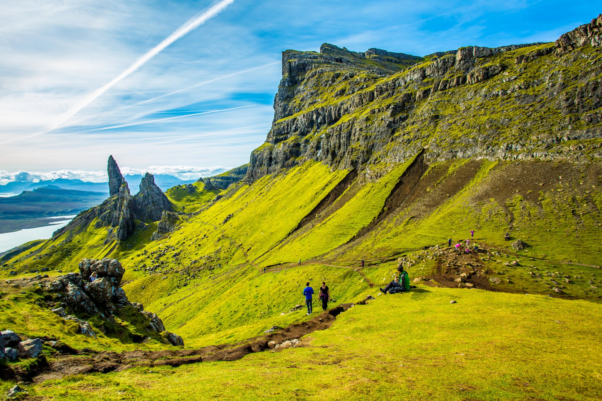
An unofficial route the length of Skye, taking in the Trotternish Ridge and the coast at Elgol. Distances vary between sources because there is no agreed line, and the ridge section is exposed and pathless in places.
Neither trail appears in our trips further down. Both are camping and bothy routes for most people who walk them, planned by the walker rather than bought as a week.
Scotland's Five Hiking Regions
Scotland is small on a map and slow on the ground. Five regions matter to walkers, and they behave differently enough that picking the wrong one for your dates is the commonest planning mistake. Distance between them is rarely the problem; weather patterns and midge exposure are.
The West Highlands
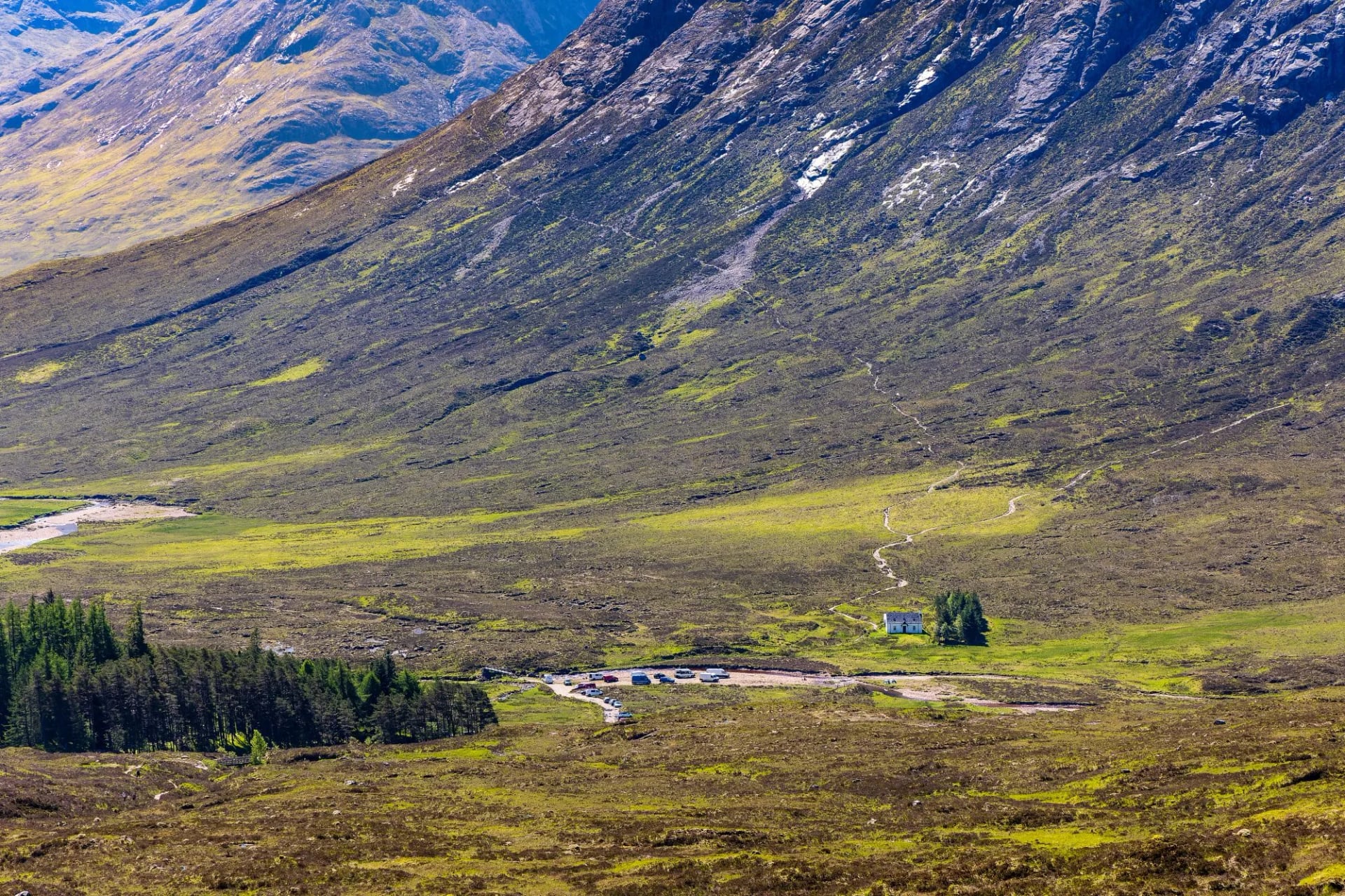
Glen Coe, Rannoch Moor, Ben Nevis and the east shore of Loch Lomond. Steep-sided glens, rock underfoot, and weather arriving off the Atlantic with very little warning. The scale reads as alpine even though nothing here tops 1,345 metres.
This is where most first visits go, and where the West Highland Way runs from end to end. It is also the wettest and the midgiest part of the country. A June or September trip is worth more here than anywhere else in Scotland, and the difference is measured in days you can actually see from.
The Cairngorms
A different mountain system entirely. Where the west is ridges and deep glens, the Cairngorms are a high sub-arctic plateau of rounded granite. The UK's largest national park holds 55 Munros, the Scottish peaks over 3,000 feet, and four of them are among the highest summits in Britain.
Navigation matters more here than scrambling ability, because the ground is open and featureless in cloud. Snow lies longest in these corries, sometimes into June. Sitting on the drier eastern side of the country, the range also gets far fewer midges than Fort William does.
Aviemore is the natural base, and it has a railway station on the Highland Main Line. From there the pine forest and the lochs at Glenmore give you low-level walking on the days the plateau is out of condition. That combination of high ground and sheltered alternatives makes the range the safest bet in the country for a week when the forecast is unsettled.
Loch Lomond and the Trossachs
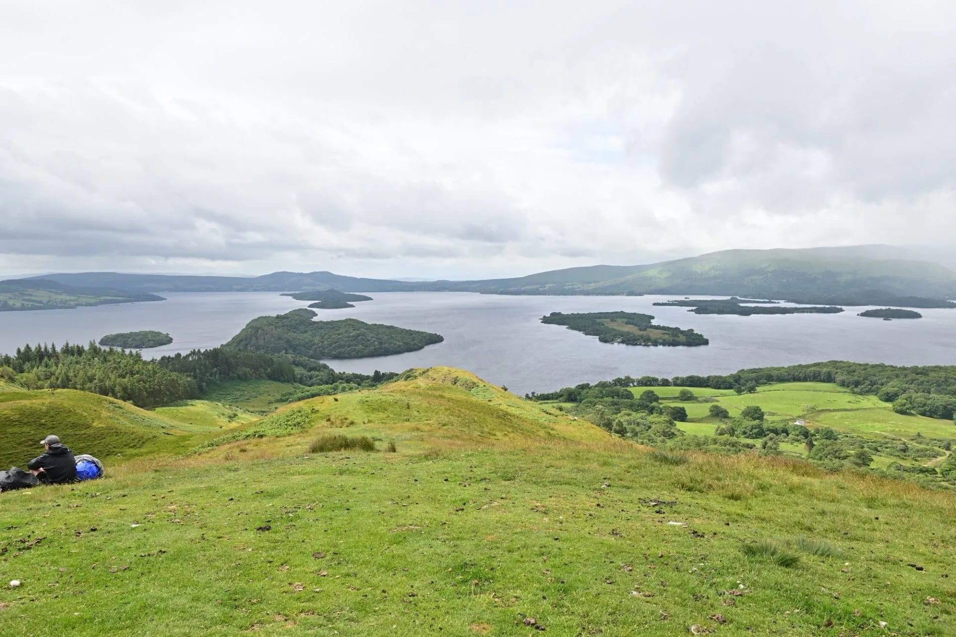
The accessible one, about forty minutes from Glasgow. The park covers roughly 1,865 square kilometres of loch, forest and hill, with 21 Munros and 20 Corbetts inside its boundary. Ben Lomond is among the busiest Munros in Scotland, because you can be on it before lunch from a city centre.
Both the Rob Roy Way and the southern half of the West Highland Way pass through here. It is also the one place in Scotland where the camping rules are not the national ones. Byelaws cover the lochshores from March to September, which the camping section below sets out in full.
Skye and the Islands
Skye holds the most dramatic walking in Britain and the least forgiving terrain. The Black Cuillin is a mountaineering range, not a hiking one. The ridge traverse needs rope work, and the gabbro is magnetic enough to send a compass wrong.
The Trotternish Ridge, the Quiraing and the Storr are the walkable headline acts, and all three take a half day to a full day. None of them asks for a rope or any scrambling. They are the reason Skye belongs on a walking itinerary at all rather than only on a driving one.
Beyond Skye, Mull, Harris, Jura and Arran each reward a week of their own. Ferry timetables rather than distances govern island planning here. Build in a spare day, because a cancelled sailing removes a walking day rather than an hour.
The Southern Uplands
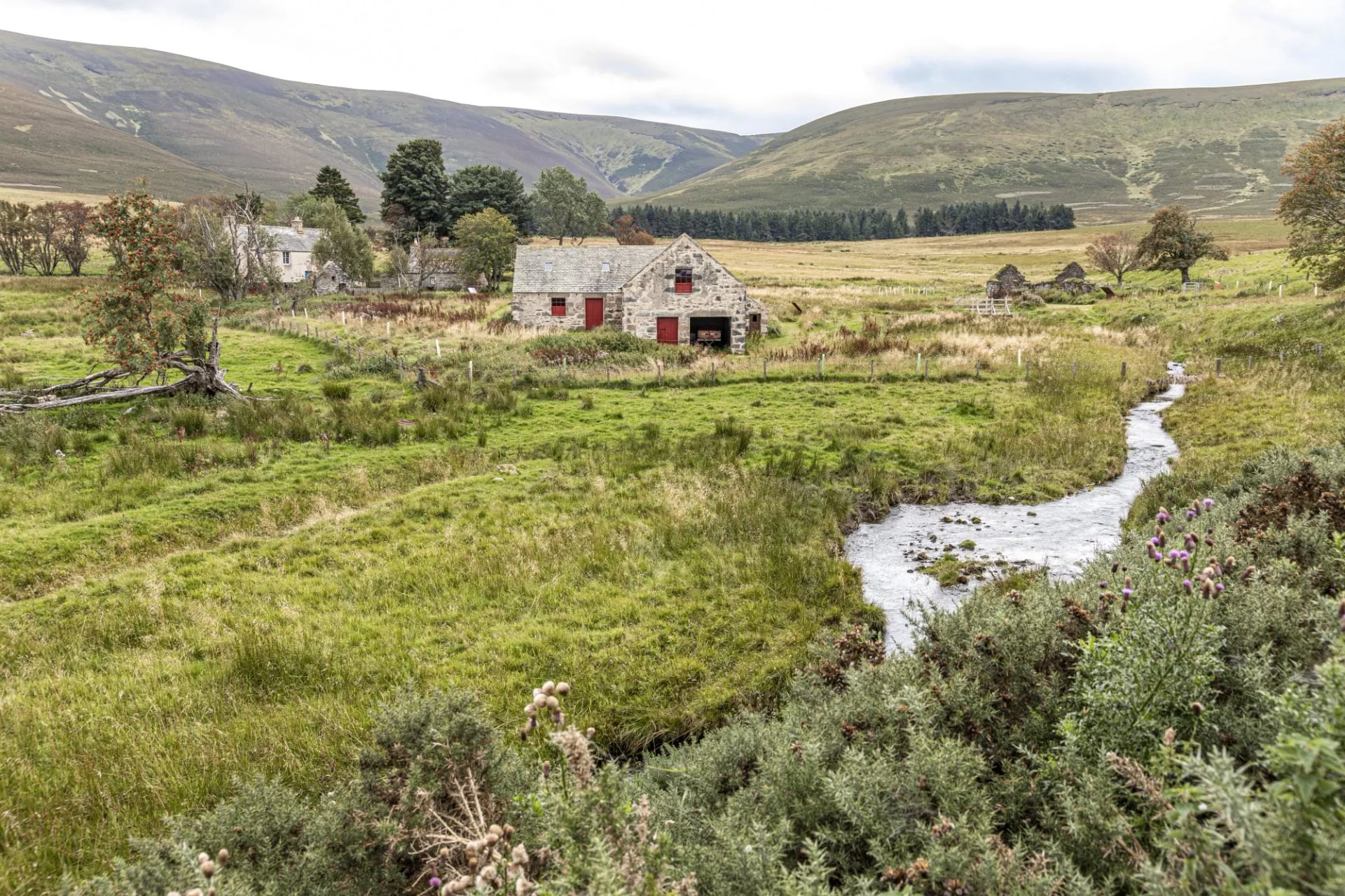
Rolling, empty and almost entirely overlooked, which is precisely the appeal. Grassy hills, wide skies and very few people, crossed end to end by a 344 kilometre coast-to-coast trail. The Southern Upland Way is the longest waymarked route in the country and the least walked of the classics.
This is the emptiest walking country in Scotland. If you want solitude and can live without a jagged skyline, it is also the best value. It stays walkable in shoulder months when the western glens are under cloud.
Access, Weather and Midges
Three things decide whether a Scottish trip works, and none of them show up in photographs. All three change your dates, and two of them change your route. Get these right and the rest of the planning looks after itself.
The access right is wider than visitors expect. It covers hills, forests, beaches, riverbanks, field margins and most estate ground. It excludes houses and their immediate surrounds, gardens and growing crops.
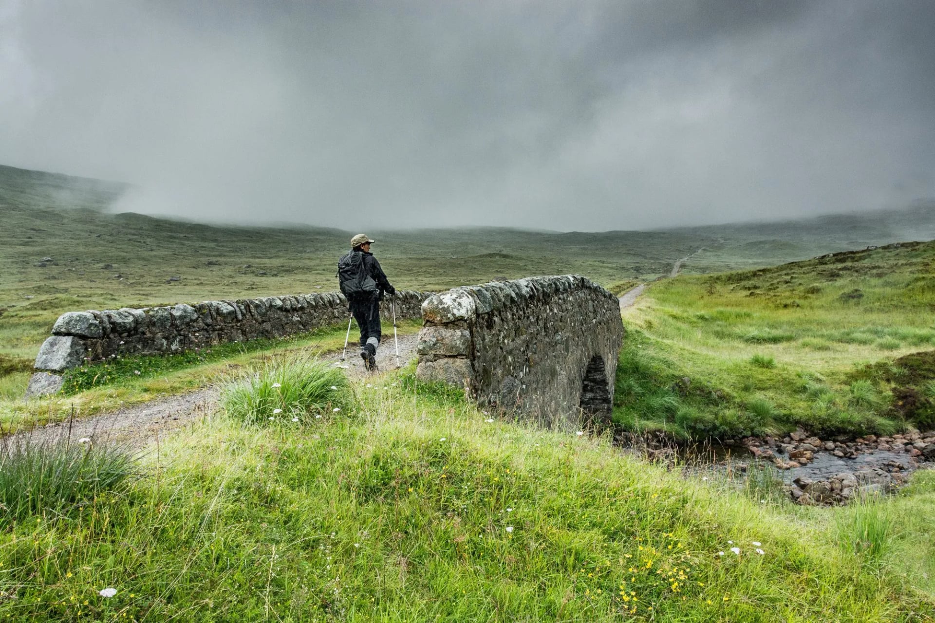
The weather is the real difficulty rating. Summit winds over 60 mph are routine outside high summer, and cloud can drop to 300 metres and sit there for days. A moderate route becomes a serious one the moment you cannot see. That is why the Mountain Weather Information Service forecast matters more here than any valley forecast, because it gives wind speed at altitude, cloud base and freezing level.
The midge sets the calendar. The Highland midge runs from late May into September and peaks through July and August, concentrated on the west coast and in the Highlands. It carries no disease and it will not ruin a prepared trip. It does decide where you stop, camp and eat, and our guide to surviving midges on a hike covers the practicalities.
The upside of all three is a country you can cross by train. Trailheads reachable from a station are normal here rather than exceptional. No walk in this guide needs a hire car, which is unusual for mountain country anywhere in Europe.
When to Hike in Scotland
May and June are the best walking months, and June in particular. Daylight runs to about eighteen hours at midsummer in the north, and May and June are on average the driest spell of the year. Snow has gone from the paths by then, and the midge is only just waking up.
July and August bring the warmest temperatures, the school holidays and peak midge together. Trails are busy, inns on the West Highland Way book out months ahead, and a still, damp evening on the west coast is hard to sit outside in. These are the months to walk the east and the Cairngorms instead.
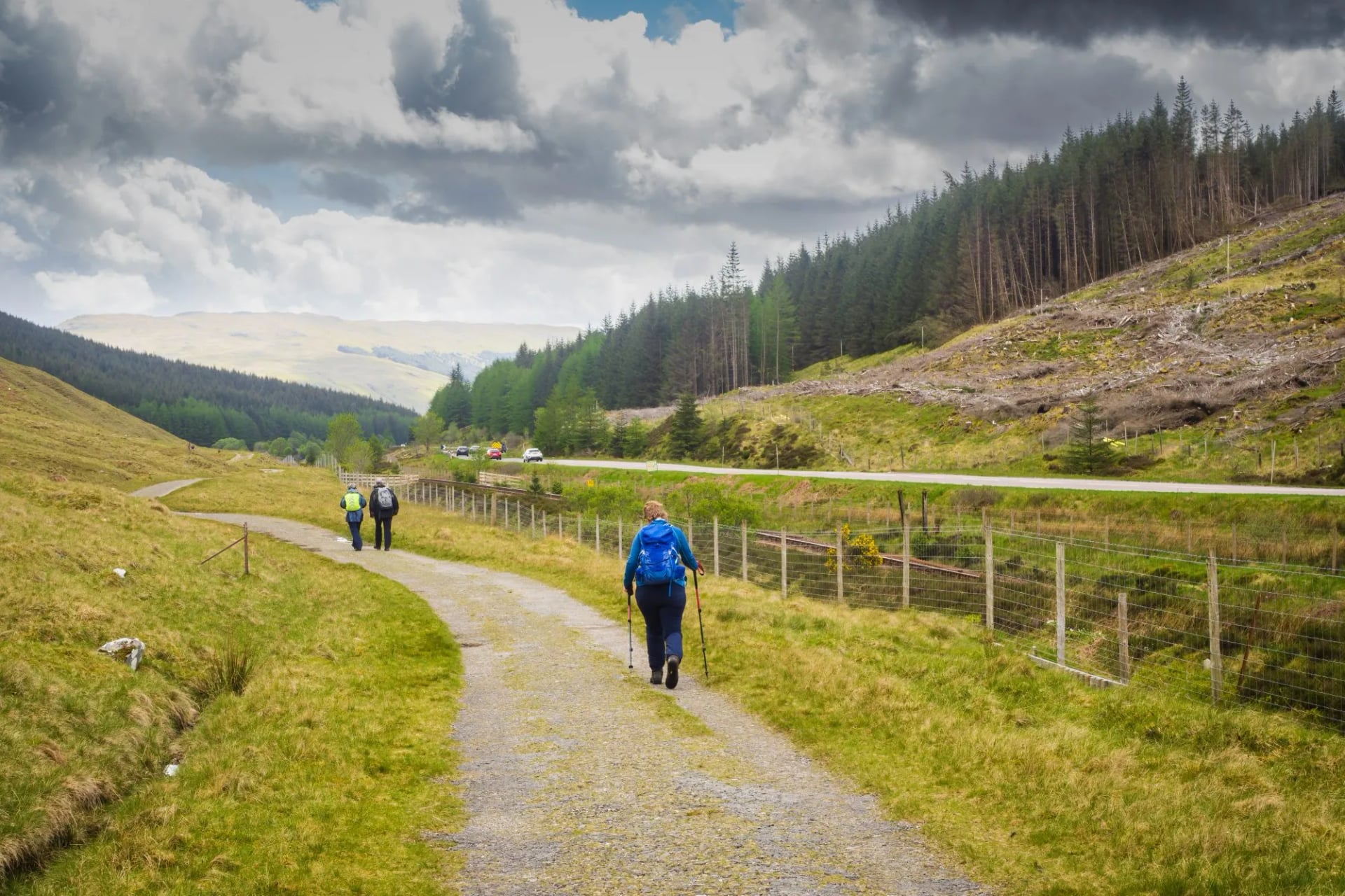
September is the other great month. Midge numbers collapse, the light turns, the hills empty and the heather is still out. Everyone who knows this competes for the same beds, so book early anyway.
From October to April this is winter walking, and in Scotland that means it. Above roughly 600 metres between November and April you need an ice axe, crampons and the training to use them, with under seven hours of daylight in December. Our Scotland walking holidays run April to October, with the Rob Roy Way opening a month earlier in March and the Whisky Trail a month later in May.
Camping, Bothies and Stalking
Wild camping in Scotland is legal on most unenclosed land, and this is the freedom that surprises visitors most. The Code sets the conditions: a lightweight tent, small numbers, and no more than two or three nights in one place. Pitch well away from roads and buildings, and light no open fires on peat or near woodland.
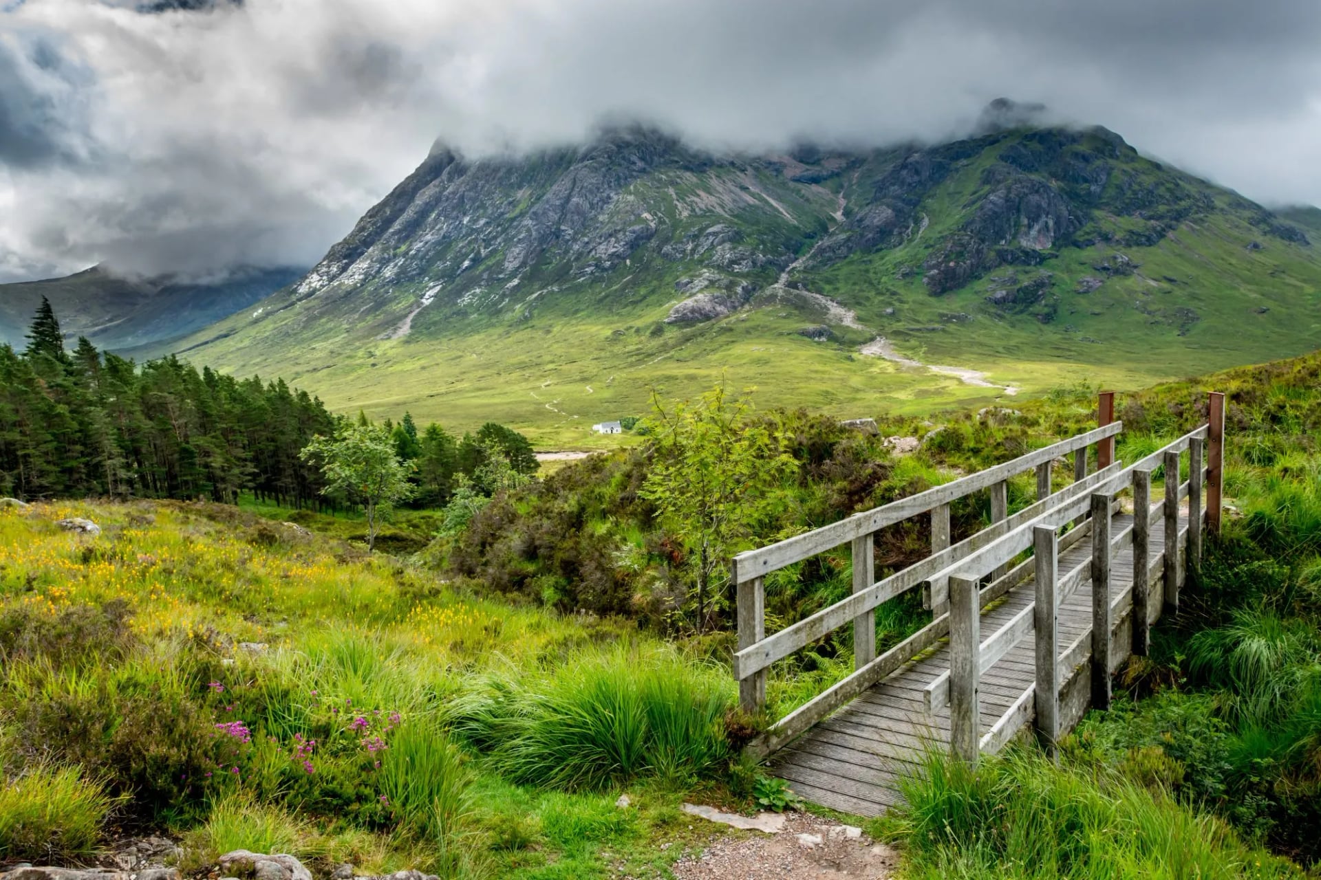
The exception is Loch Lomond and the Trossachs, where camping byelaws run every year from March to September across a set of lochshore zones. Those zones cover under 4% of the park but include the busiest West Highland Way shoreline. Inside them you need a permit or a campsite pitch.
Check the park's own camping page before you plan around it. The authority reviews the zones and the season periodically, and both have been redrawn before. Outside the zones, and outside the season, the ordinary access right applies here exactly as it does everywhere else in Scotland.
Deer management runs on the open hill from July to mid-February, with stag stalking busiest in the first three weeks of October and hind culling from 21 October. Access rights continue throughout, but the shooting is live. Check Heading for the Scottish Hills for hill-by-hill detail and routes flagged as always fine; waymarked long-distance trails are unaffected.
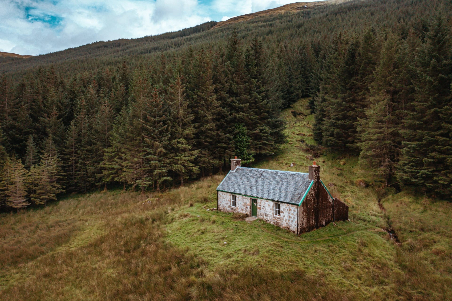
Bothies stand unlocked and free in remote glens, and the Mountain Bothies Association looks after around a hundred of them across Scotland, Wales and northern England, the majority in the Scottish hills. A bothy is four walls and a sleeping platform, with no booking, no beds and no facilities. Carry a tent as backup, bring your own fuel, keep groups to six or fewer, and leave it cleaner than you found it.
Nobody can reserve a bothy and nobody can turn you away from one, which cuts both ways on a wet night. A shelter that was empty last year may be full when you reach it, and the two or three biggest are busy most weekends through summer. Treat every bothy as a bonus rather than a bed you are counting on, and the system works.
Getting to Scotland's Trails
Edinburgh and Glasgow take most international arrivals, with Inverness and Aberdeen useful for the Cairngorms and the north. Glasgow is the practical airport for the West Highland Way and the Trossachs. Inverness serves the Great Glen and the road west to Skye.
The railway reaches further than visitors expect. The West Highland Line from Glasgow to Fort William is one of the great rail journeys in Europe, and it drops walkers at trailheads along the way before continuing to Mallaig. Milngavie, where the West Highland Way starts, is about 25 minutes by suburban train from Glasgow city centre.
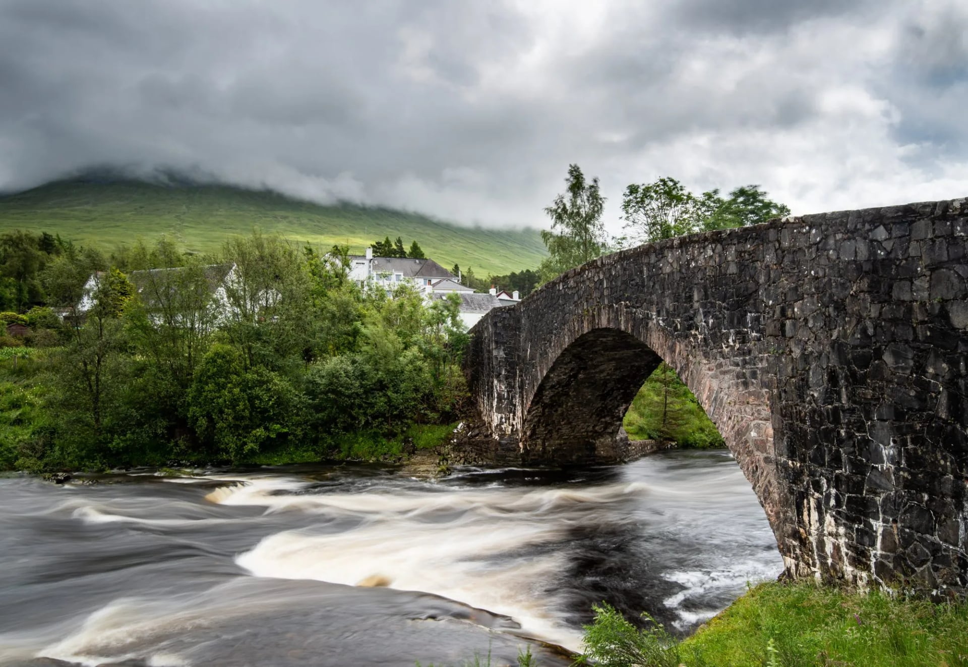
The Highland Main Line serves Pitlochry, Aviemore and Inverness, covering the finish of the Rob Roy Way and the whole Cairngorms side. Between the two lines, the West Highland Way and the Great Glen Way start and finish at stations, and every other trail in this guide is a bus ride from one. That matters more than it sounds, because a one-way traverse by car means recovering the car afterwards.
What a Scotland Walking Trip Costs
The walking itself is free, and unusually so. Scotland charges no national park entry fee, no trail permit and no access charge of any kind, and the bothy network costs nothing to use. The single exception is a camping permit inside the Loch Lomond management zones in season.
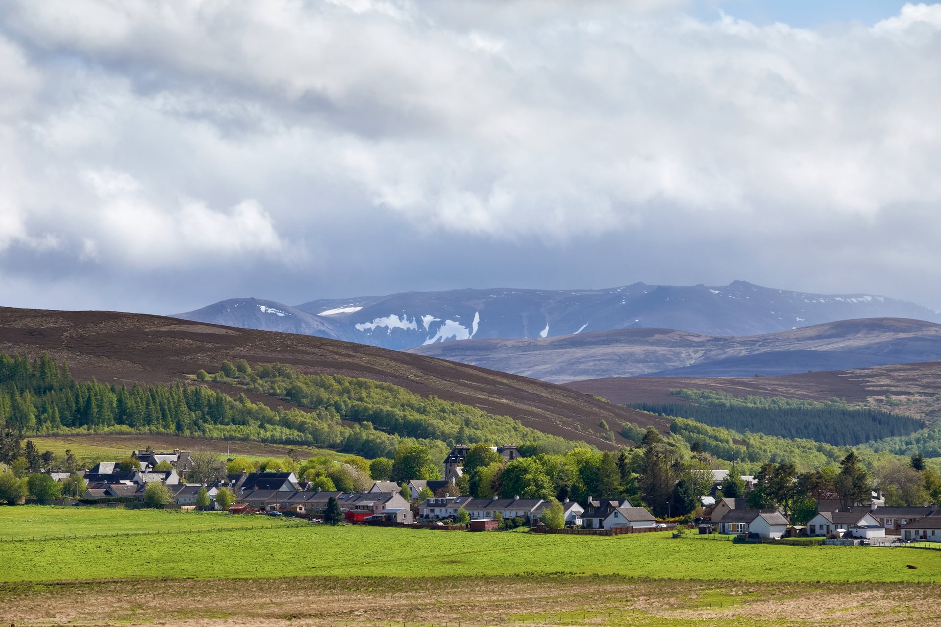
What you actually pay for is beds and transfers. On a waymarked trail in July or August the constraint is availability rather than price, because villages along the West Highland Way hold a fixed and small number of rooms. Booking in January for a July walk is normal, not cautious.
Self-guided trips bundle the awkward parts: accommodation booked in the right sequence, luggage moved each morning, and a guidebook with the route already on it. The saving is in the planning hours rather than the nightly rate. Live prices sit on each tour page, because the sites price by region and a figure quoted here would be wrong for half the readers.
What to Pack for Scotland
Scotland-specific kit, over and above what you would normally carry into mountains. The list is short because most of it is about staying dry and being able to navigate when you cannot see.
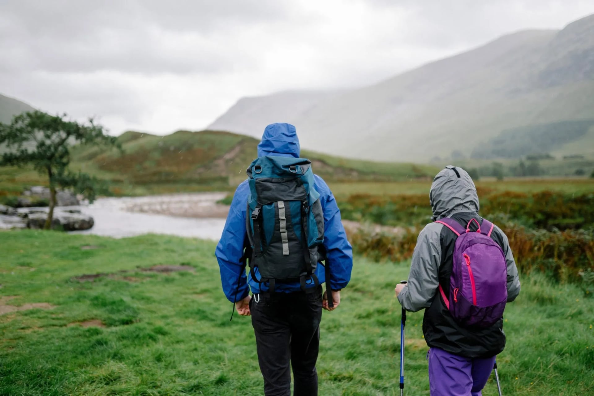
Full waterproofs, jacket and overtrousers, taped seams and a hood that fits over a hat. You will wear them, not carry them.
Boots rather than trail shoes for hill days, because wet peat and rock ask for ankle support and a stiff sole. Waymarked trail walking is fine in whatever is comfortable.
Gaiters are the cheapest comfort you can buy here, and the difference between damp socks and soaked ones on boggy ground.
Warm layers even in July. Temperature drops roughly 1°C per 150 metres of ascent and the wind takes more, so a summit can sit near freezing in a summer gale.
Midge repellent and a head net from June to August, especially anywhere on the west coast.
Map and compass, and the skill to use them. Ordnance Survey Explorer at 1:25,000 for detail, Landranger at 1:50,000 for planning, Harvey strip maps for the long-distance trails. Carry paper as well as a phone.
A power bank, because cold drains batteries fast and there is no charging point on Rannoch Moor.
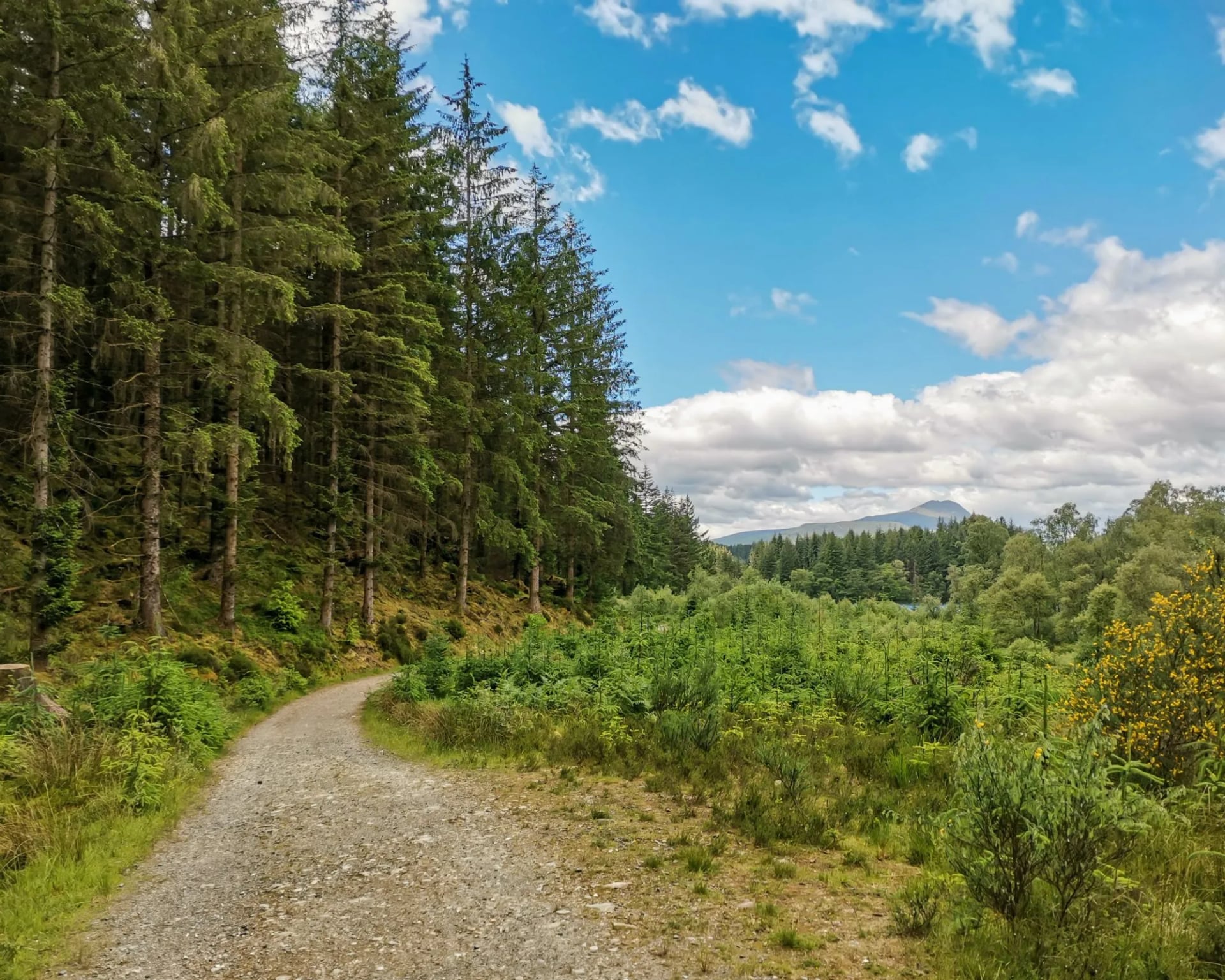
Ticks, Rescue, Trains and Cash
Six things that catch people out here, none of which appear on the scenery pages. None of them is a reason not to come, and all six are cheaper to solve before you travel than on the trail. Most are a five minute job at home and an expensive nuisance once you are out on the hill.
Ticks carry Lyme disease in Scotland. They are present in bracken, long grass and deer country from spring to autumn. Cover your legs, check every evening, and carry a remover, because correct removal matters more than prevention.
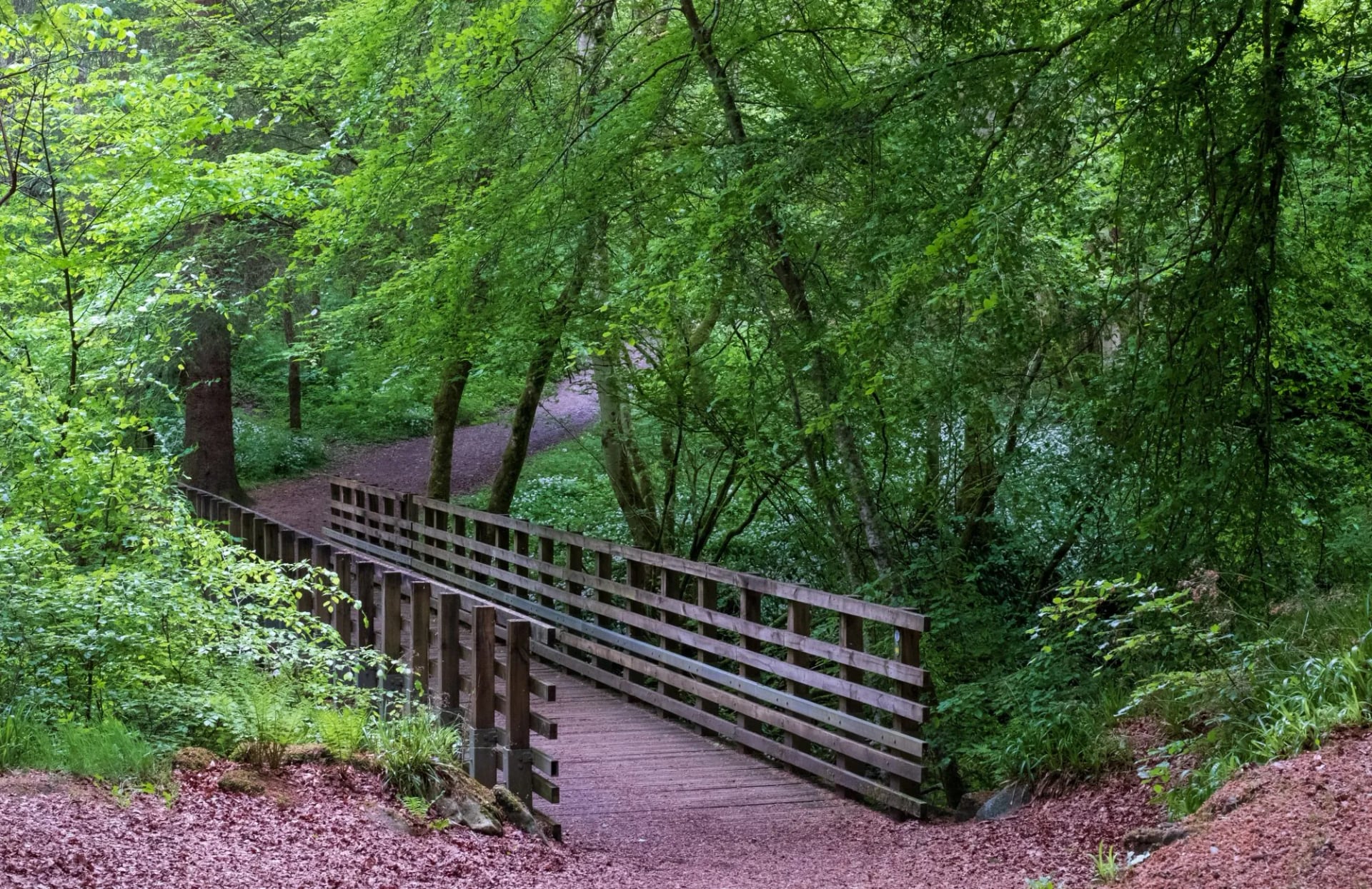
Mountain rescue is free and voluntary. Unlike the Alps, you are not billed for a callout, but the teams are volunteers. Leave your route with someone, and dial 999 asking for police, then mountain rescue.
Sunday trains are sparse. Services on the West Highland Line thin out badly at weekends, and a missed connection can cost a walking day rather than an hour.
Cash still matters west of the Great Glen. Island shops, bothy donation boxes and small campsites want it, and mobile signal for card payment is unreliable out there.
Tap water is safe throughout. Stream water high on the hill is a judgement call, so treat or filter it if you are depending on it for a full day.
Dogs need close control near livestock, and must be kept away from ground-nesting birds through spring. Lambing runs roughly March to May on hill ground.

Our Scotland Hiking Tours
Five self-guided trips cover four of these trails. All are inn to inn, with luggage moved each morning, a digital guidebook carrying GPS routing, and support on the phone if a stage falls apart. The daily figures below come from each trip's own itinerary.
West Highland Getaway
Daily distance: ~16 to 24 km
Ascent: ~420 to 650 m a day
Grade: fitness 2 of 5, technical 2 of 5
Season: April to October
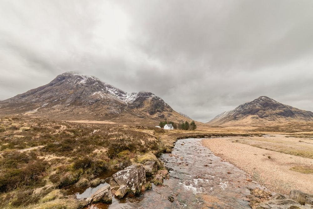
Three walking days on the northern half of the famous trail, and the gentlest of the five at fitness grade 2 of 5. It runs from Bridge of Orchy to Fort William, over stages of roughly 17, 16 and 24 kilometres.
That stretch carries the Devil's Staircase and the Lairig Mor, so it delivers both set pieces without the slow Loch Lomond shore. For a first taste of Scottish long-distance walking on a long weekend, it is the least punishing option here.
Whisky Trail
Daily distance: ~10 to 19 km
Ascent: ~160 to 340 m a day
Grade: fitness 3 of 5, technical 3 of 5
Season: May to October
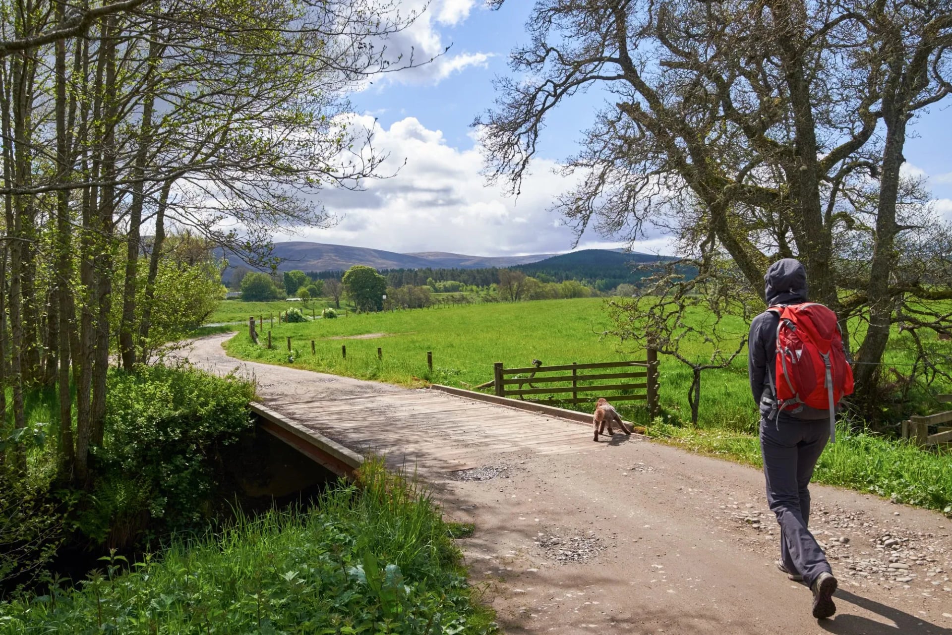
Following the upper Speyside Way, this is the only one of the five built around distilleries rather than summits. Craigellachie to Tomintoul over four nights, with daily ascent between roughly 160 and 340 metres.
That makes it the flattest week available in Scotland, and the shortest walking days of the five. The region holds over fifty distilleries, and the walking days are short enough to leave real time for them.
Rob Roy Way Tour
Daily distance: ~15 to 24 km
Ascent: ~55 to 530 m a day
Grade: fitness 4 of 5, technical 3 of 5
Season: March to October
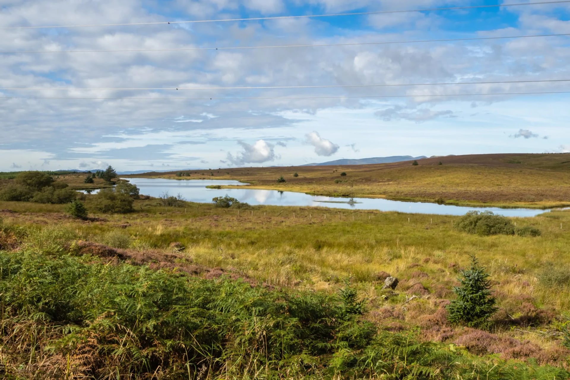
Eight nights crossing from the Trossachs into Perthshire, and the quietest week of the five. Drymen to Pitlochry, roughly 127 to 135 kilometres, with the longest day around 24 kilometres along the ridge.
Because the route is a traverse rather than a loop, every day shows new ground. It opens in March, a month before the rest, which makes it the answer for anyone whose leave falls outside the main season.
Great Glen Way Tour
Daily distance: ~12 to 30.5 km
Ascent: ~80 to 690 m a day
Grade: fitness 3 of 5, technical 2 of 5
Season: April to October
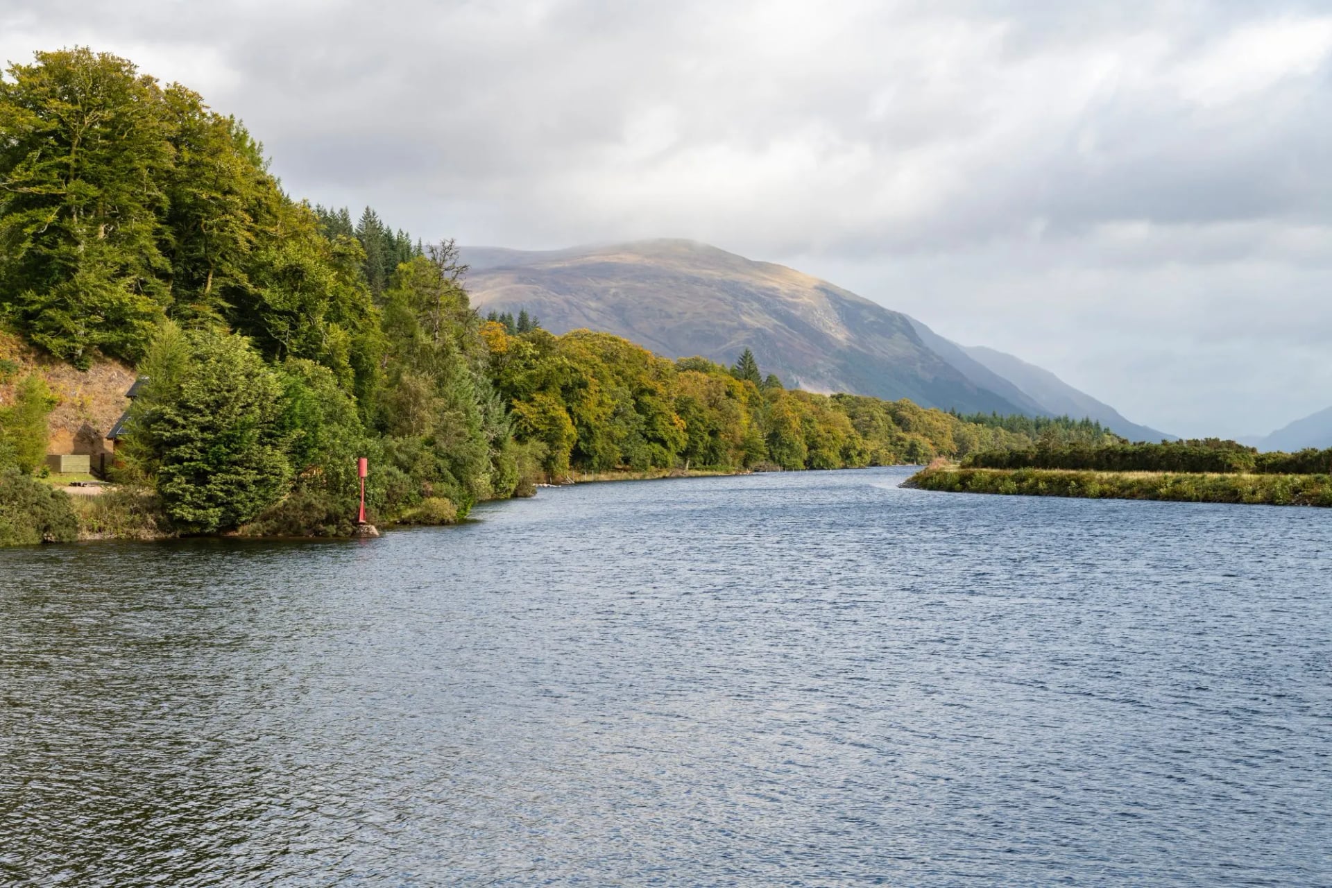
Book this one if it is a first long-distance walk. Fort William to Inverness over seven nights, following our own slightly shorter line of about 120 kilometres along the Caledonian Canal and the shore of Loch Ness.
Day seven is the long one at about 30 kilometres, and a shuttle can shorten it if the legs have gone. Gradients stay gentle throughout, and villages appear at regular enough intervals that a short day is always available.
West Highland Way Tour
Daily distance: ~14 to 24.5 km
Ascent: ~190 to 695 m a day
Grade: fitness 4 of 5, technical 3 of 5
Season: April to October
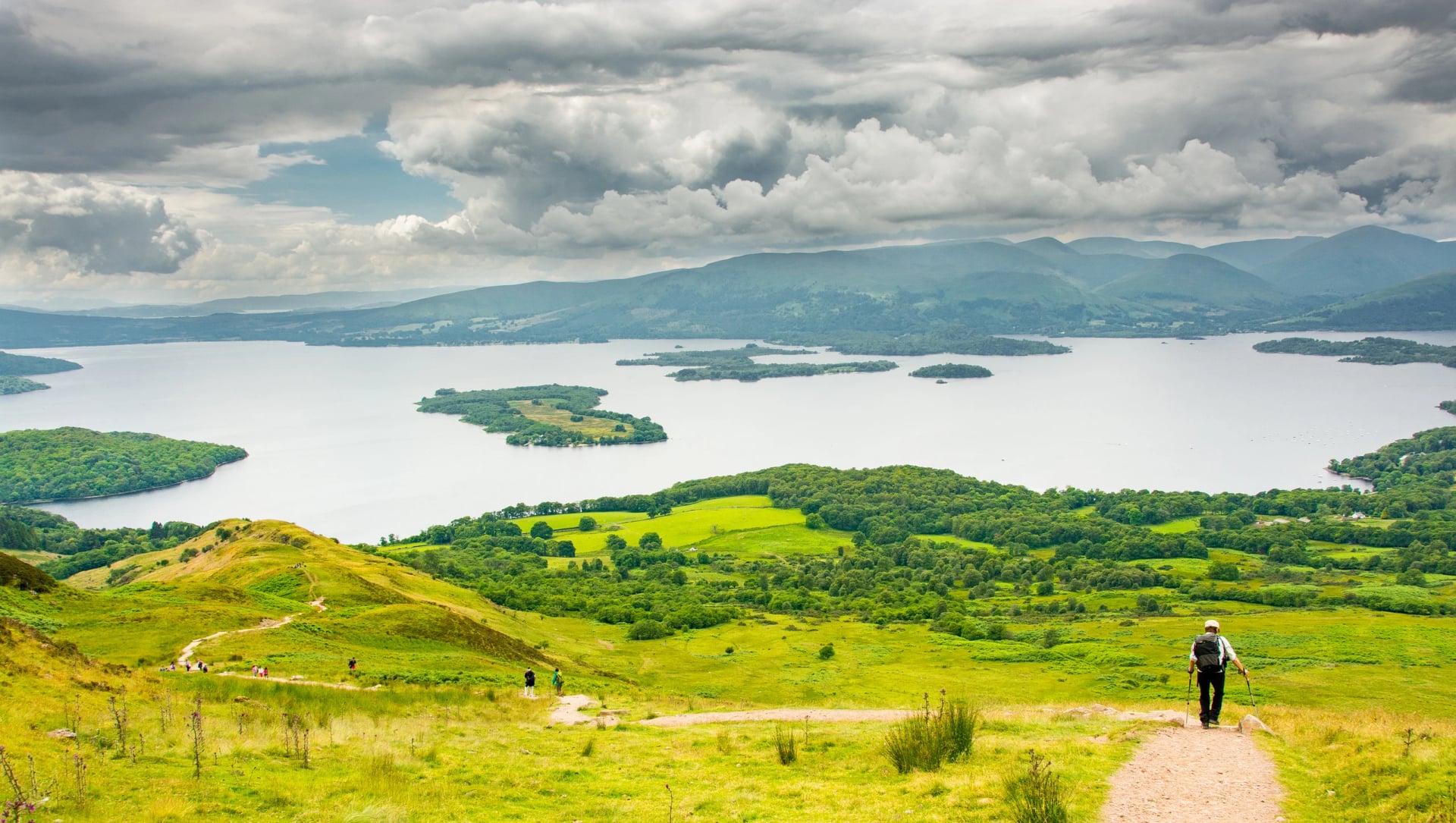
The full traverse over nine nights, and joint hardest of the five at fitness 4 and technical 3. Milngavie to Fort William, with daily stages of roughly 14 to 24.5 kilometres, taking in Loch Lomond, Rannoch Moor and Glen Coe in that order.
It starts on a suburban train line and finishes under the highest mountain in Britain. The inns along it are few and fill months ahead, so this is the trip where booking early changes whether the walk happens at all.
Frequently Asked Questions
Choosing Your Scotland Hiking Trip
If you have one week and want the famous one, walk the West Highland Way and train for it properly first. With five days, the West Highland Getaway takes the better half of the same trail at a gentler grade. Both finish under Ben Nevis, so neither shortchanges the ending.
If this is a first long-distance walk, take the Great Glen Way. Gentle gradients and a station at each end make it the easiest to recover from. If you have already done one and want the quiet, the Rob Roy Way crosses emptier country.
Whichever you pick, book beds before you book flights, and aim for June or September. The full range sits on our Scotland hiking tours page. It is also worth comparing against the rest of our UK hiking tours before you commit.
If you would rather we shaped a route around your own dates, get in touch with our team

About this author
Suzana is our travel advisor and a hiker who believes the best trails aren't just about the summits. She loves spotting alpine plants, watching wildlife, and the laughs, chats, and snack breaks that make every trail worth walking.










.jpg&w=828&q=75)




















































.jpg&w=828&q=75)























