13 Best Hikes in Canada, Rockies to Coast
Thirteen of the best hikes in Canada with real distance, ascent and access for each, from an eight kilometre summit to the 75 kilometre West Coast Trail.

Jon
Published August 12, 2026
Edited September 14, 2026
26 min read
Quick links
Don't want to read all this?
We've planned 2,000+ hiking trips. Send your dates, fitness and group size — we'll map the route and book every night.



The path you climb to the teahouse above Lake Louise was cut by Swiss mountain guides on a railway company's payroll. That is not a piece of trivia. The Canadian Rockies as a walking destination were invented by a railway, and the hotels, the trails and the tea you drink at the top of them all exist because a company needed passengers for a line through country almost nobody lived in.
Knowing that changes how the place reads. Canada holds more mountain country than any walker could see in a lifetime, and almost everyone who comes to hike goes to one of two ranges, because those are the two the infrastructure was built for: the Canadian Rockies and the Coast Mountains of British Columbia. Our Canada hiking tours run in both.
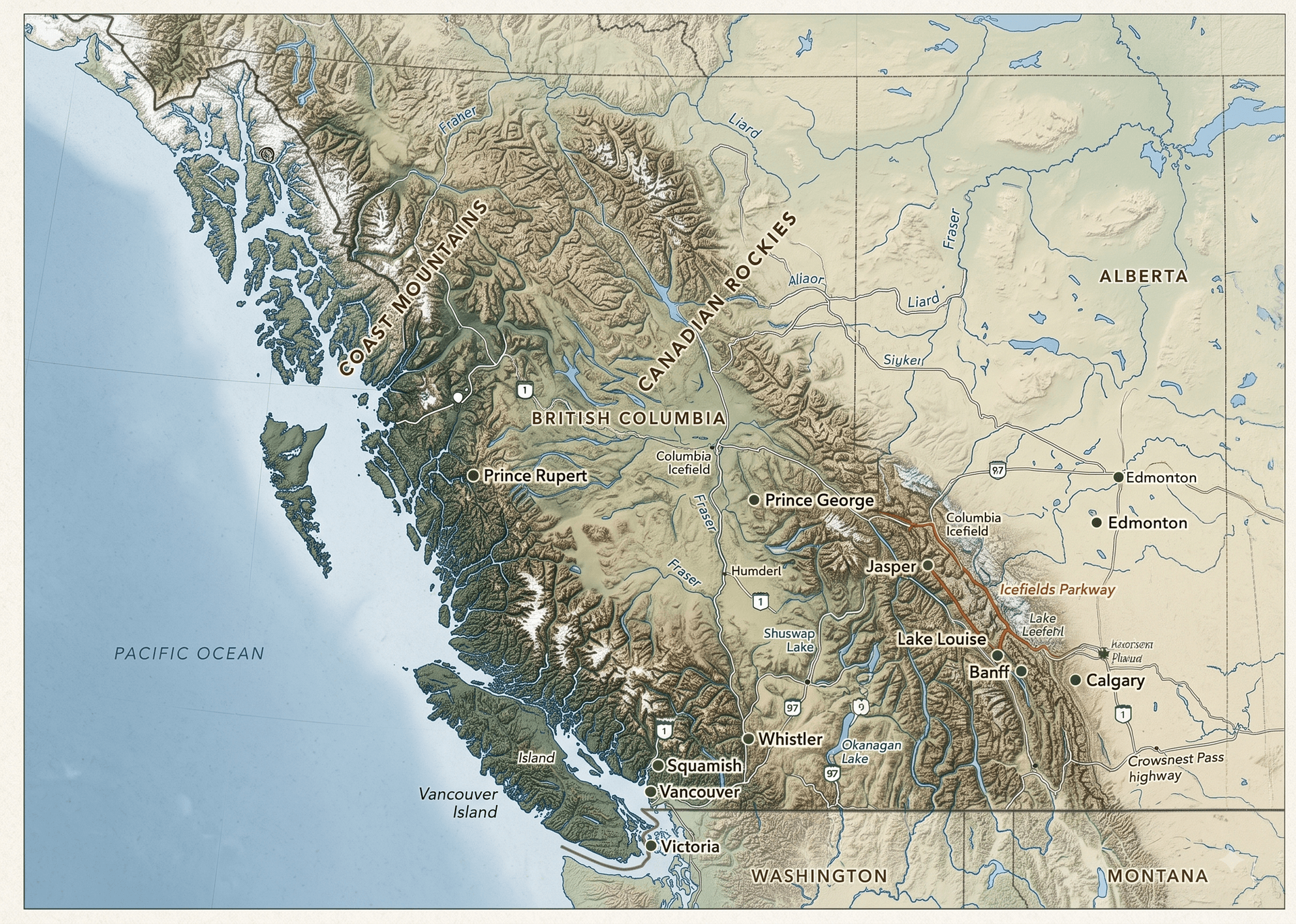
What surprises people is how different those two ranges are. They sit about 700 kilometres apart, they photograph almost identically, and on the ground they have very little in common. One is dry limestone and the other is wet granite, and that single distinction decides what you walk on, what the weather does and which months work.
The other thing that catches visitors out is the shape of a Canadian walking trip. There is no inn-to-inn network here of the kind Britain or the Alps have. You base yourself in one town and walk a different trail each day, because the distances are too great and the backcountry is too tightly permitted for anything else. Canada hiking means a base and a car park, not a bag moved ahead to the next village.
The 13 Best Hikes in Canada
These are the thirteen walks worth building a trip around, from a canyon path you can do before breakfast to the multi-day routes that need a permit won months ahead. Distance is round trip unless the route is a one-way traverse, ascent is total climb, and access says what you have to arrange before you set off. Four of them sit on our own weeks and the rest are yours to add.
1. The Skyline Trail
Distance: 44.1 km one way
Ascent: 1,410 m
Access: Maligne Lake trailhead, backcountry permit and campsite booking required
Jasper's signature route and one of the great ridge walks in North America, running from Maligne Lake to Maligne Canyon with the great majority of its length above the treeline. The high point at The Notch sits at 2,511 metres and feels considerably more serious than the distance suggests. Most walkers take three days over it. Our guide to hiking in Jasper breaks the route into stages and covers the permit timing.
2. Cirque Peak via Helen Lake
Distance: 19.5 km return
Ascent: 1,500 m
Access: Helen Lake trailhead on the Icefields Parkway, no permit
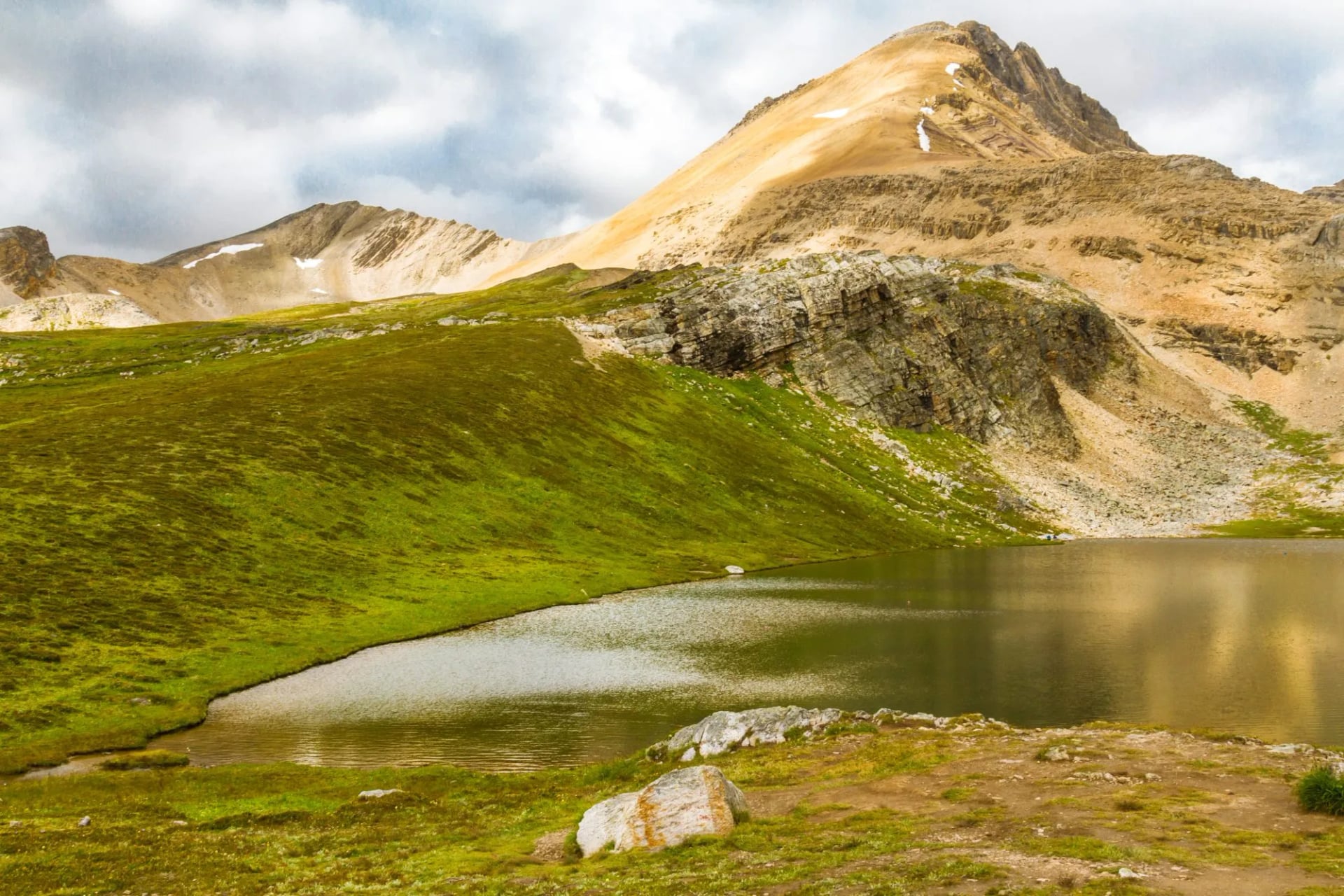
The biggest single day we run in the Rockies, and the one that decides whether a week feels hard. The trail climbs steadily through larch and open meadow to Helen Lake, then turns up a long scree shoulder to a summit above the Wapta Icefield. It closes our Canadian Rockies Highlights week, and those 1,500 metres are the reason that trip grades 4 out of 5 for fitness.
3. The Whistlers Summit
Distance: 16.5 km return
Ascent: 1,330 m
Access: Whistlers trailhead in Jasper town, tramway an option for the descent
The classic Jasper leg-burner and the one our own week uses. It climbs the flank of Whistlers Mountain from the valley floor to a summit ridge at 2,464 metres, with a full circle of view over the Athabasca valley and out to the ranges beyond. A tramway runs up the same mountain, so you will meet people at the top in sandals, and you can ride down if the legs have gone. Relentless rather than technical.
4. Lake O'Hara Alpine Circuit
Distance: 11 km circuit
Ascent: 1,070 m
Access: Shuttle seat drawn in the March lottery, or walk the gated 11 km road in
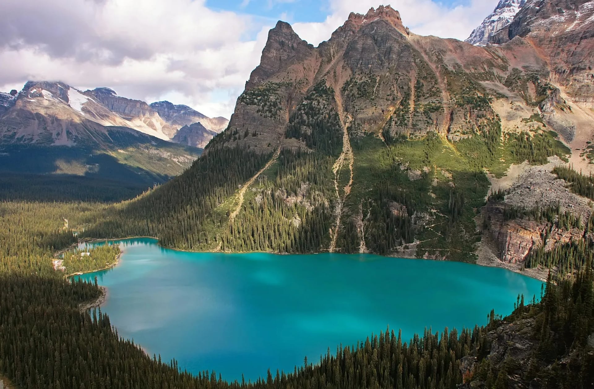
The single best day in the Rockies and the hardest to arrange. Lake O'Hara sits at 2,020 metres in Yoho, up a gated road that no private vehicle may use. Parks Canada runs a shuttle whose seats are drawn by lottery each March. The Alpine Circuit links ledges and larch basins above the lake on rock so well built it feels engineered. Walking the road in is the fallback and costs you about 400 metres of climb and three hours each way before the circuit even starts.
5. Cory Pass Loop
Distance: 11.7 km loop
Ascent: 930 m
Access: Fireside day-use area on the Bow Valley Parkway
The best hard day within reach of Banff townsite and a real test of nerve as well as legs. The loop climbs a steep exposed shoulder to a narrow pass beneath Mount Edith, then drops back through forest by way of Edith Pass. It is the third day of our Rockies week. Walk it in that direction, because the reverse turns the most exposed section into a descent.
6. Sentinel Pass via Larch Valley
Distance: 11.2 km return
Ascent: 750 m
Access: Moraine Lake, reached by shuttle only, closed to private vehicles
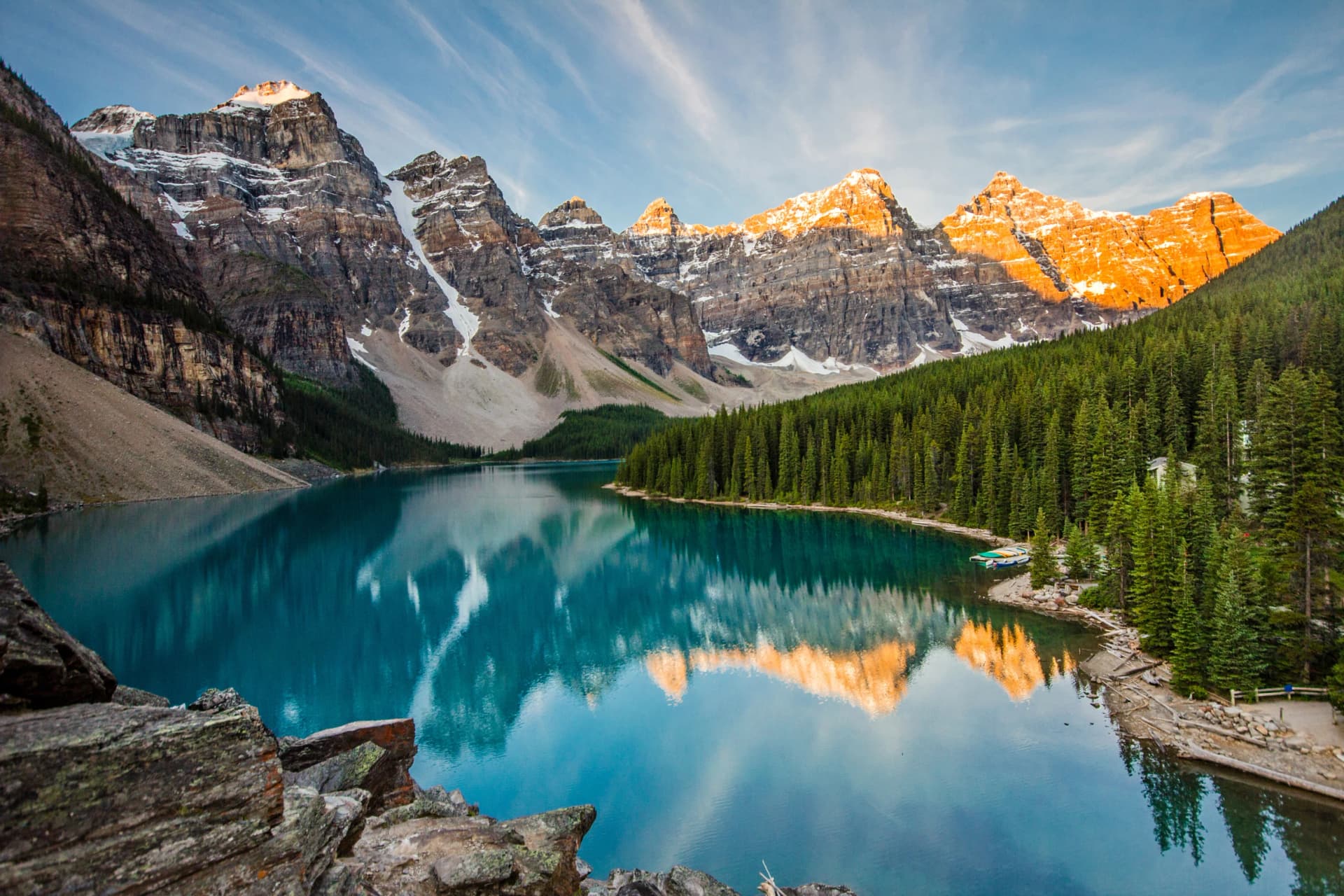
The finest larch walk in the Rockies and the reason late September fills up. The trail switchbacks out of Moraine Lake into Larch Valley, then climbs to a pass between Pinnacle Mountain and Mount Temple with the Valley of the Ten Peaks behind you the whole way. Moraine Lake is now closed to private cars altogether, so the shuttle or a tour bus is the only way in.
7. Six Glaciers and Lake Agnes
Distance: 11.8 km return to the Plain of Six Glaciers, 7.8 km to Lake Agnes
Ascent: 595 m and 495 m
Access: Lake Louise lakeshore, no permit
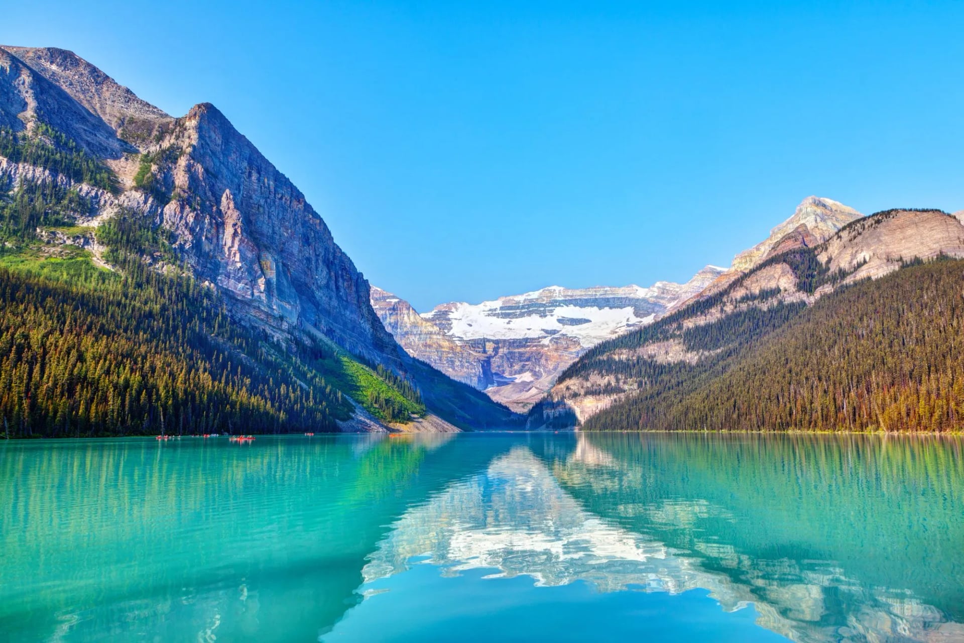
Two teahouse walks from the same lakeshore, and the pair most people do first. The Plain of Six Glaciers runs level along the water then climbs the moraine towards the icefall under Mount Victoria. Lake Agnes is the steeper of the two and ends at a tarn in a hanging valley. Both teahouses are unreachable by road, supplied by horse and helicopter, and neither has electricity. Linking them over the Big Beehive makes a long and very good day.
8. Sulphur Skyline
Distance: 8 km return
Ascent: 700 m
Access: Miette Hot Springs trailhead in Jasper
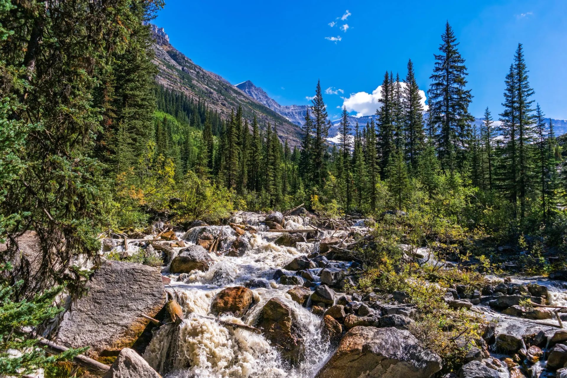
The best value in the Rockies: a short uncompromising climb from the hot springs to a bare summit with a view down two valleys that would cost you a full day anywhere else. The gradient never relents and there is no shade on the upper half, which makes it a morning walk rather than an afternoon one. The pools at the bottom are the obvious reward.
9. Elfin Lakes
Distance: 22 km return
Ascent: 600 m
Access: Diamond Head trailhead, day-use parking pass in peak season
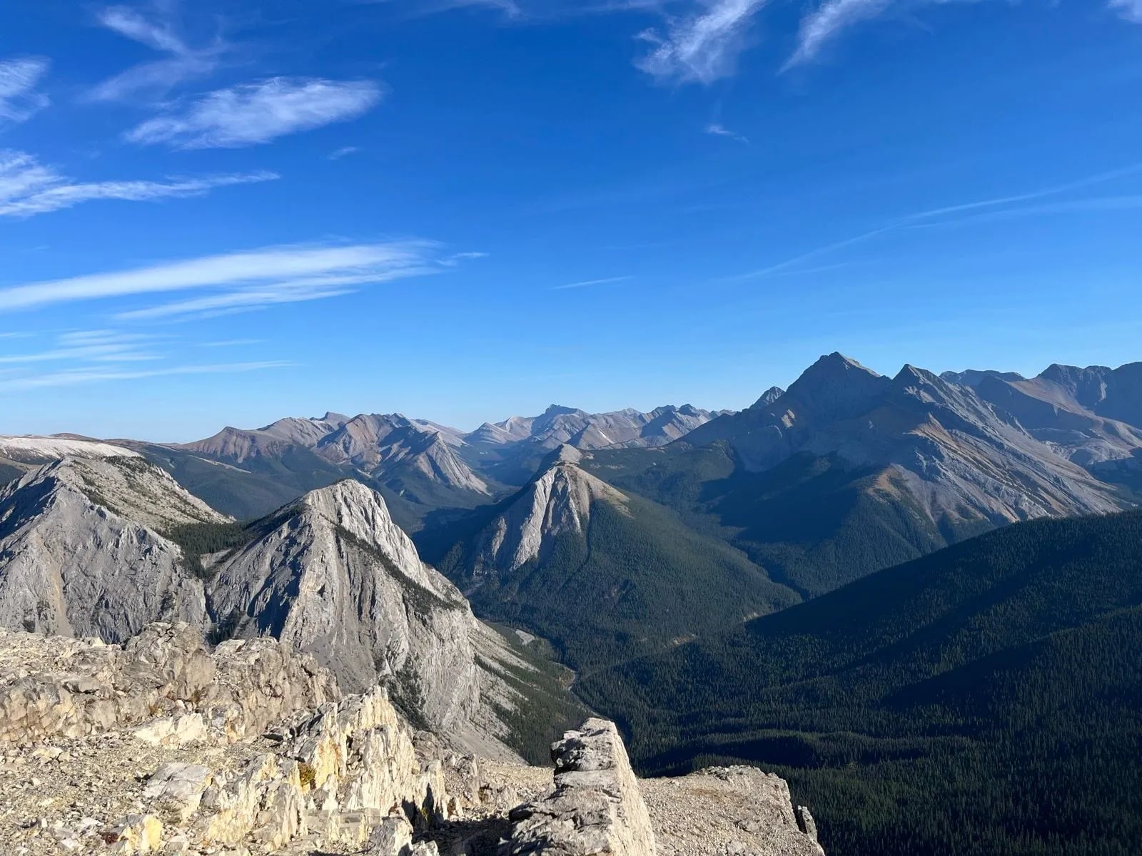
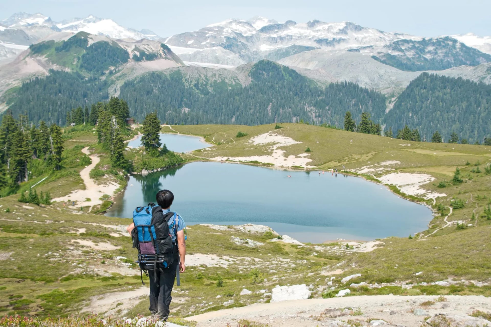
The long steady introduction to the Coast Mountains, on an old road that climbs Paul Ridge at a gentle grade before opening into alpine meadow. Half the walk is forest and half is in the open, with Columnar Peak, the Gargoyles and the Mamquam Icefield ahead of you for the second half. BC Parks gives it as 11 kilometres each way, and the climb is spread thin enough that the distance tires you rather than the gradient.
10. The Stawamus Chief
Distance: 3 km return to First Peak
Ascent: 540 m
Access: Day-use parking at the base, two kilometres south of Squamish
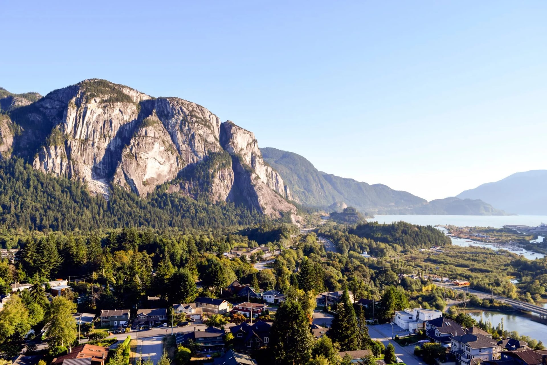
One of the largest granite monoliths in the world, rising in 700 metre cliffs straight out of the Squamish valley. The trail to First Peak is short, brutally steep and fitted with chains and ladders across the upper slabs. Second and Third Peaks add a little distance and about 90 metres more climb apiece. It is the walk every visitor to Squamish does, and the summit slabs look straight down onto Howe Sound.
11. Johnston Canyon
Distance: 4.8 km return to the Upper Falls
Ascent: 215 m
Access: Bow Valley Parkway, summer shuttle from Banff
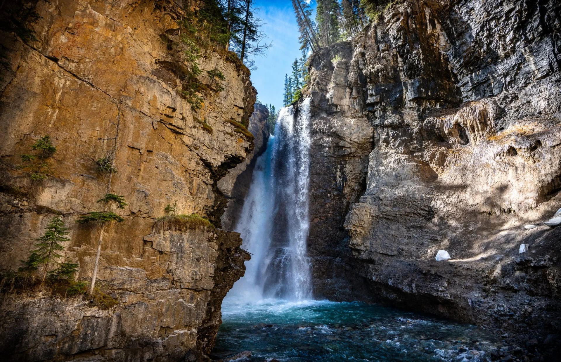
The busiest short walk in Banff and still worth an early start. The trail is bolted to the canyon wall on steel catwalks that hang out over the water, running first to a lower falls you reach through a short cave and then to an upper falls above it. Off-trail access here is prohibited and enforced, because the canyon walls are nesting habitat for black swifts. Go at first light or leave it alone.
12. The West Coast Trail
Distance: 75 km one way
Ascent: 1,222 m
Access: Permit and a strict daily quota, Pacific Rim National Park Reserve
The famous one, running down the Pacific edge of Vancouver Island over ladders, cable cars, boardwalk and beach. Parks Canada gives the route as 75 kilometres, though beach alternatives and campsite detours mean most people walk rather more than that. It takes six or seven days, the quota fills the day it opens, and it is comfortably the hardest thing on this list.
13. The Berg Lake Trail
Distance: 46 km return
Ascent: 800 m
Access: Mount Robson Provincial Park, camping reservation required
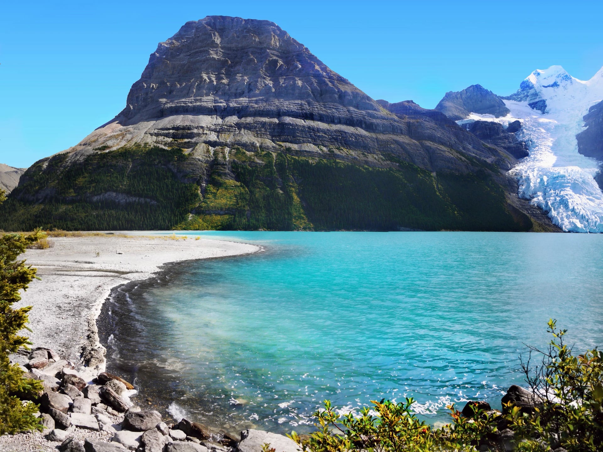
Twenty-three kilometres each way to a lake below the north face of Mount Robson, the highest peak in the Canadian Rockies at 3,954 metres. The climb is gentle for the first half and then steps up hard through the Valley of a Thousand Falls. Glacier ice calves into the lake through the summer, which is where the name comes from.
Set against those last two, the weeks we run are centre-based and need no permit lottery, and that is the trade being made. You give up the through-walk and you gain flexibility, a bed with a roof every night and the ability to swap a day when the weather turns.
If you are choosing between them, group them by what they ask of you. Sulphur Skyline, Johnston Canyon and the Stawamus Chief are half-days that fit around a drive.
Cirque Peak, the Whistlers, Cory Pass and the Alpine Circuit are the full alpine days, each over 900 metres of climb, and any one of them will define the week you remember.
Six Glaciers, Sentinel Pass and Elfin Lakes sit in between, long but never steep for long.
The Skyline, Berg Lake and the West Coast Trail are a different commitment entirely, needing permits, camping kit and a booking window you have to catch months out.
Two Mountain Systems, Not One
Almost every Canadian hiking photograph you have seen comes from one of those two ranges, and telling them apart before you book is the single most useful thing in this guide. They are not variations on a theme. They are different rock, different weather and different months.
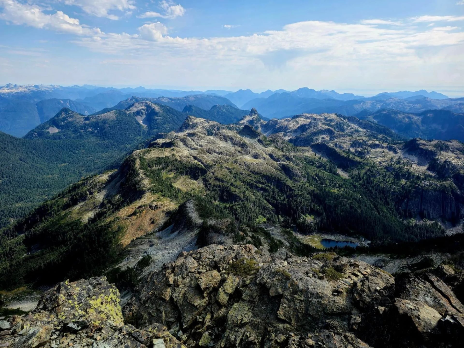
The difference is geological and it shows in everything. The Rockies are sedimentary rock, laid down as seabed and then folded and tilted, which is why the peaks come in slabs and layers and the scree is grey. The Coast Mountains are granite pushed up from below, which is why they come in domes and walls and the surface underfoot is coarse and pale.
The Canadian Rockies
Drier, colder, higher and more continental. The valley floors sit around 1,400 metres, the treeline is near 2,200, and the alpine summer is short: snow lies on the high passes into July and returns in September. What you get in exchange is the classic picture, with glaciers still visible from the road and lakes coloured by the rock flour ground out beneath them.
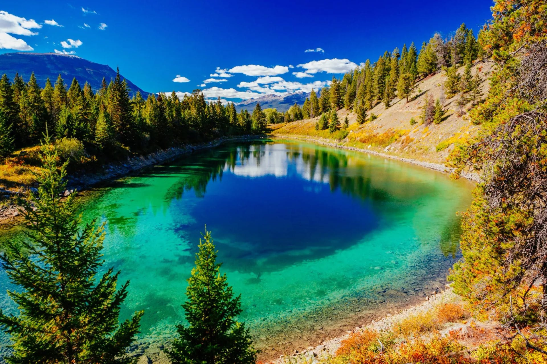
This is also where the protection is oldest. Banff was Canada's first national park, created in 1885, and Banff, Jasper, Yoho and Kootenay now run together as a single block of protected mountain country along the continental divide.
The Coast Mountains
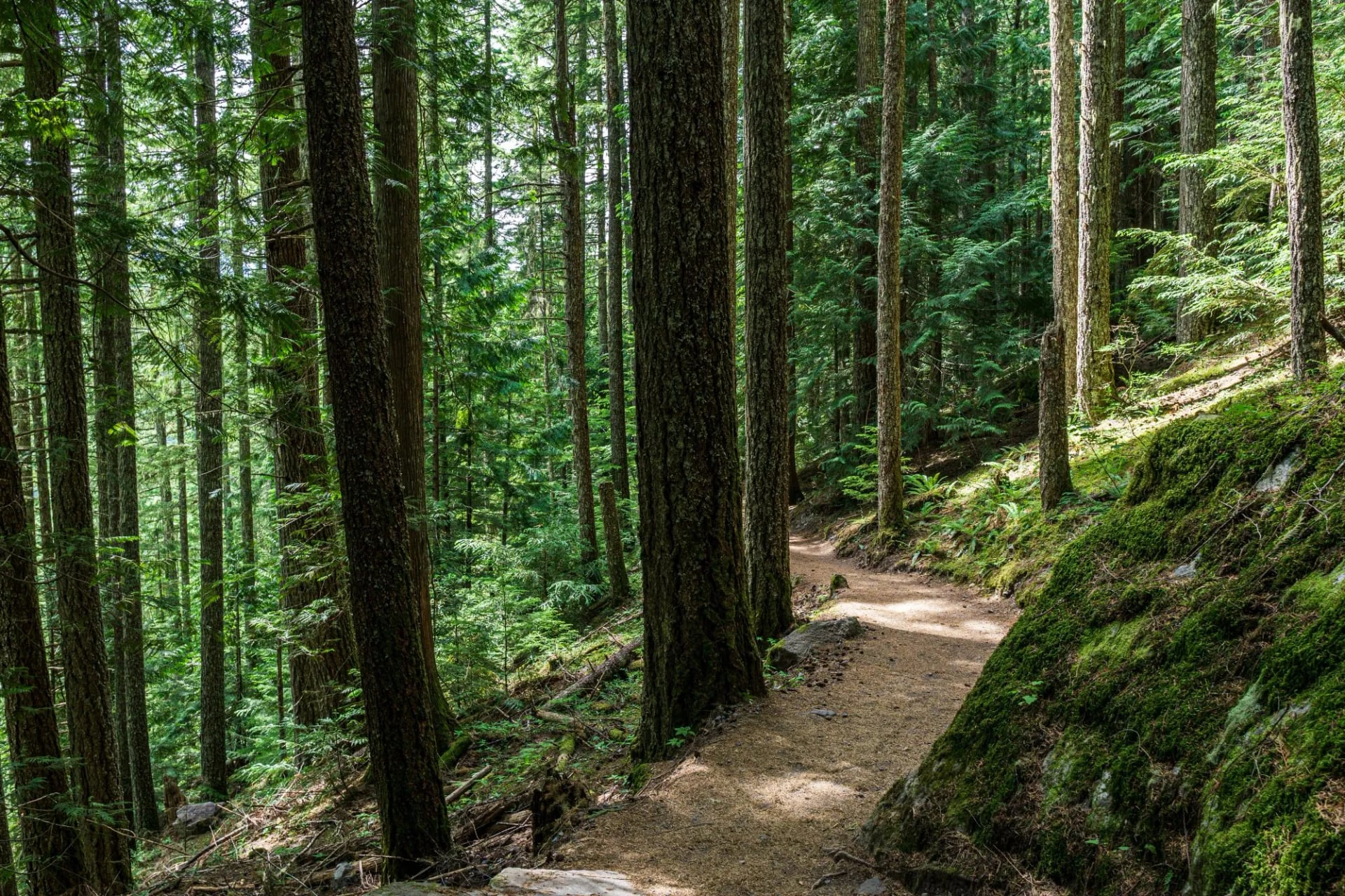
Wetter, lower, steeper and far greener. These mountains rise straight out of the sea, so a day can start in temperate rainforest and finish on bare granite with saltwater in view the whole way up. The rain is the price and it is not a small one.
The practical consequence is a longer season and a shorter approach. Snow clears from the lower trails by May, and you can be walking within an hour of Vancouver airport. The trade-off is cloud: the peaks that give the views are the same peaks that catch the weather coming off the Pacific.
How Hard Is Canada Hiking?
Harder than most people expect, for reasons that have nothing to do with technical difficulty. The paths are graded and signed, the scrambling is optional almost everywhere, and you will not need a rope. What catches people is the ascent, the altitude and the length of the day.
Our three weeks show the spread. Jasper Highlights rates 3 out of 5 for fitness with days of 13 to 19 kilometres and 230 to 1,330 metres of climb across 5 walking days. Canadian Rockies Highlights and Squamish Scenic Trails both rate 4 out of 5, the Rockies week running 11 to 19 kilometres a day across 7 days and reaching 1,500 metres of ascent on its biggest. Our hiking difficulty guide explains what those grades ask of you, and note that fitness counts successive walking days as much as any single one.
Ascent is the whole story. A typical good day climbs more than 1,000 metres, which is roughly Ben Nevis from sea level, and then gives it all back.
Altitude is real but manageable. Rockies trailheads start near 1,400 metres and passes run past 2,500, high enough to slow you down for the first two days.
Days are long. Six to eight hours of walking is normal, and the drive to the trailhead sits on either end of it.
Descent hurts more than climb. Poles are worth carrying on every route in this guide.
Where to Base Yourself
Three towns cover everything in this guide, and which one you choose matters more than which trails you pick, because the trailhead drives all start from your front door.
Banff and Lake Louise
Banff is the obvious base and deserves its reputation despite the crowds. The town sits at 1,383 metres in the Bow valley with trailheads on three sides, a bus network in summer and more places to eat than anywhere else in the mountain parks. Lake Louise, forty minutes up the valley, is quieter in the evening and closer to the teahouse walks and to Moraine Lake. Yoho and Lake O'Hara sit just over the provincial border from here.
Jasper
Jasper is the quieter half of the Rockies and the better base for anyone who found Banff too busy. The park is larger, the town is smaller, and the walking starts closer to the door. It is joined to Lake Louise by the Icefields Parkway, about 230 kilometres of road that runs beside glaciers for most of its length and is worth a full day even without stopping to walk. Jasper suits a mixed-ability group better than anywhere else in the Rockies, which is what our Jasper Highlights Hike is built around.
One practical note matters more here than elsewhere. A major wildfire reached the town of Jasper in 2024, destroying a significant part of it and closing trails across the park. Rebuilding is well under way and most of the walking has reopened, but some has not, and Maligne Canyon is among the trails still shut while the ground above it is stabilised. Check Parks Canada trail conditions before you finalise anything in Jasper, because closures move around and some of the forest will look burnt for a long time yet.
Squamish
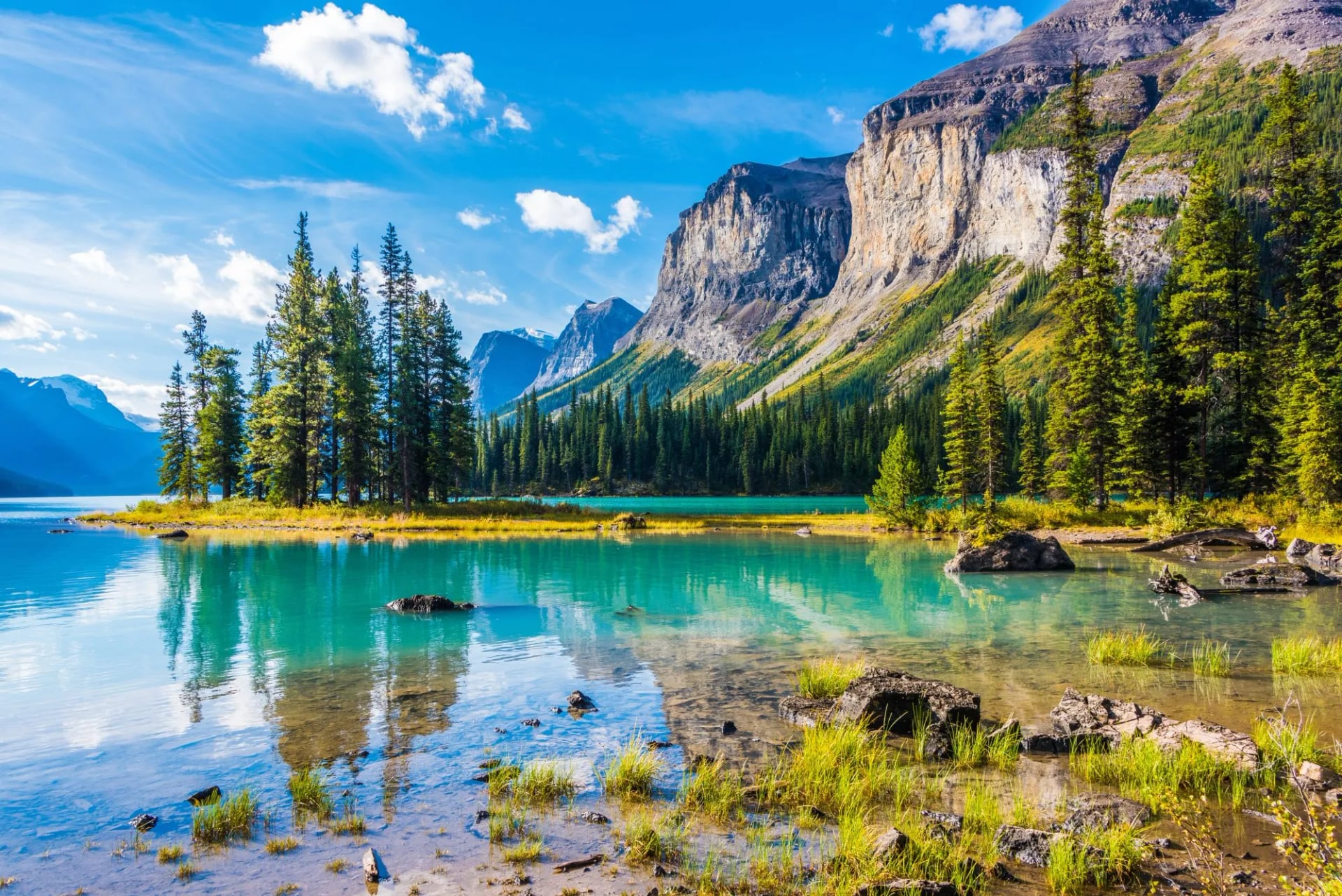
Squamish sits 60 kilometres north of Vancouver on the Sea to Sky Highway, between Howe Sound and the Coast Mountains, and it is the only base here you can reach without a long drive from an international airport. The town is a climbing and mountain-biking centre first, which means good coffee, good beer and an outdoor shop on most corners. Our Squamish Scenic Trails week is based here, and the trailheads sit closer to town than anywhere in the Rockies.
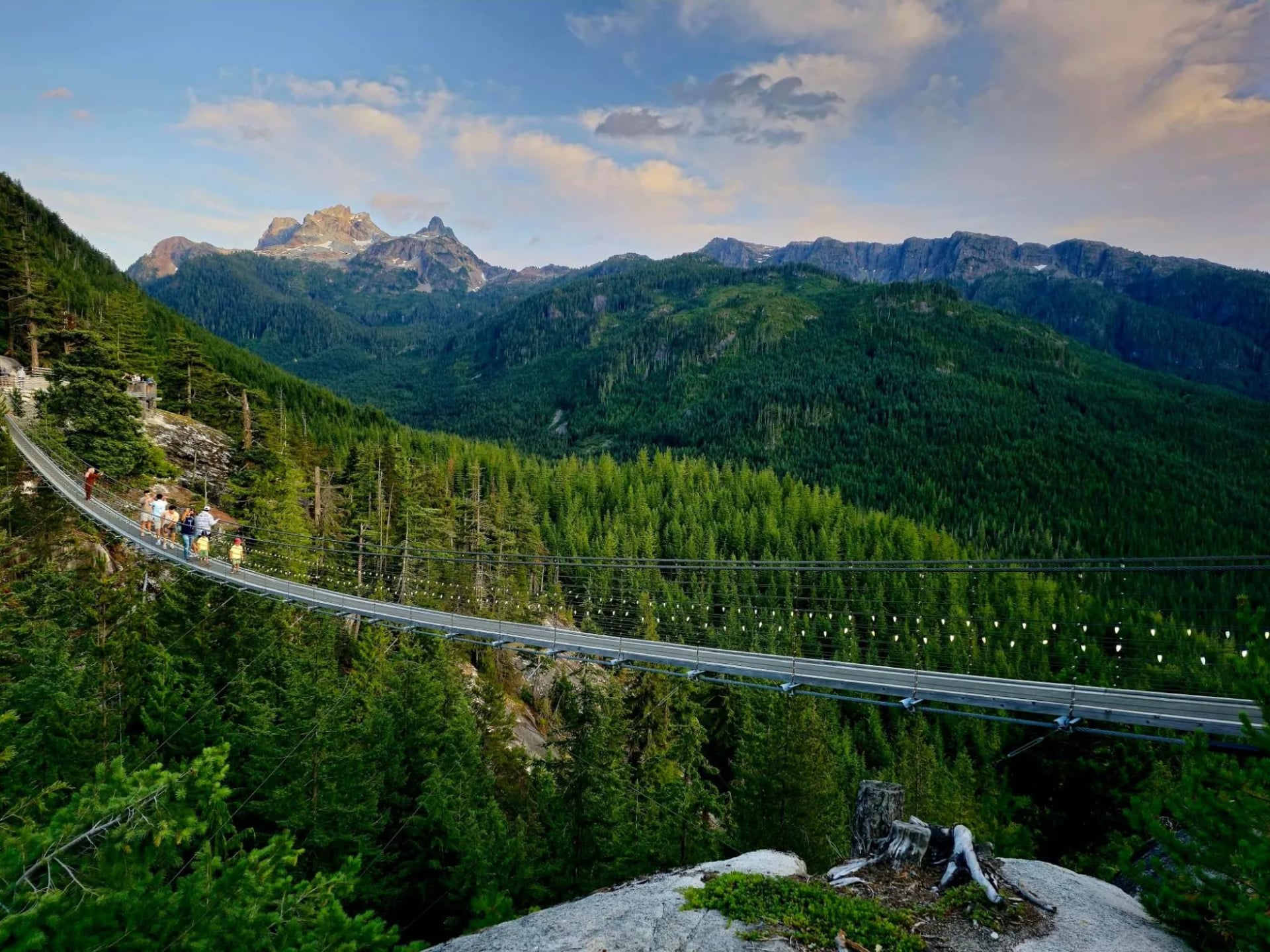
When to Go Hiking in Canada
The season is shorter than almost anywhere else we walk, and the two ranges do not open at the same time. Get this wrong and you arrive to find the trail you came for still under two metres of snow.
The distinction that actually matters is not Rockies against Coast Mountains. It is low against high, and it applies in both. Valley floors, lakeshores and canyon paths are walkable from May in the Rockies and from May in the Coast Mountains too. Alpine passes and ridge lines are a different question: they hold snow into July in the Rockies, and into late June or July on the higher Coast Mountains routes.
That is why our own weeks carry different seasons. Jasper Highlights and Squamish Scenic Trails both run from May, because they use valley and mid-level trails early in the year and save the high ground for later departures. Canadian Rockies Highlights runs from July, because it goes high from the start and finishes on Cirque Peak with 1,500 metres of climb. If the alpine is what you came for, aim for after the first week of July in the Rockies.
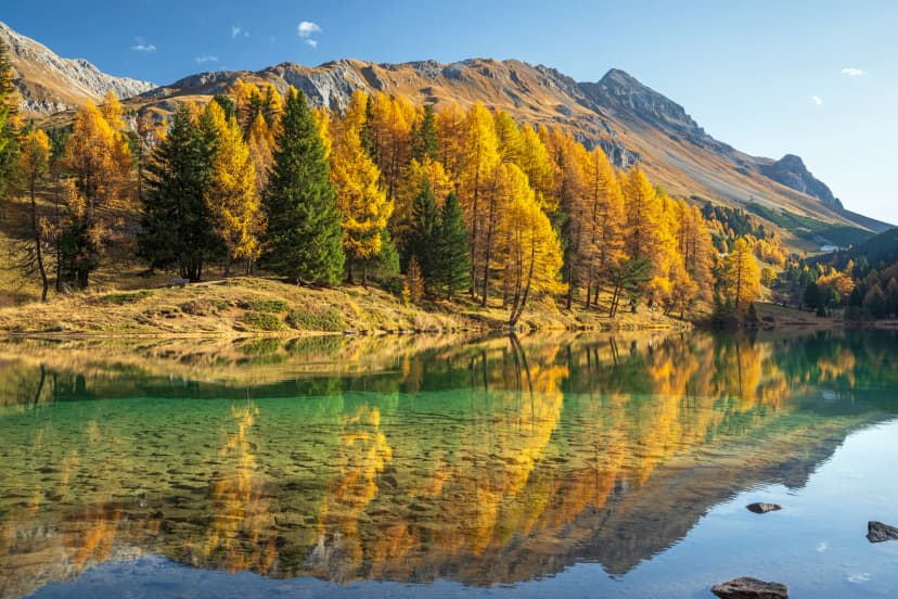
September is the month to take if you can choose. The bugs have gone, the crowds thin after the first weekend, the light is better and the weather is at its most settled. Late September also brings something the Rockies do and the Coast Mountains do not: alpine larch turn gold for roughly two weeks, which is why Larch Valley and Sentinel Pass fill up in that window.
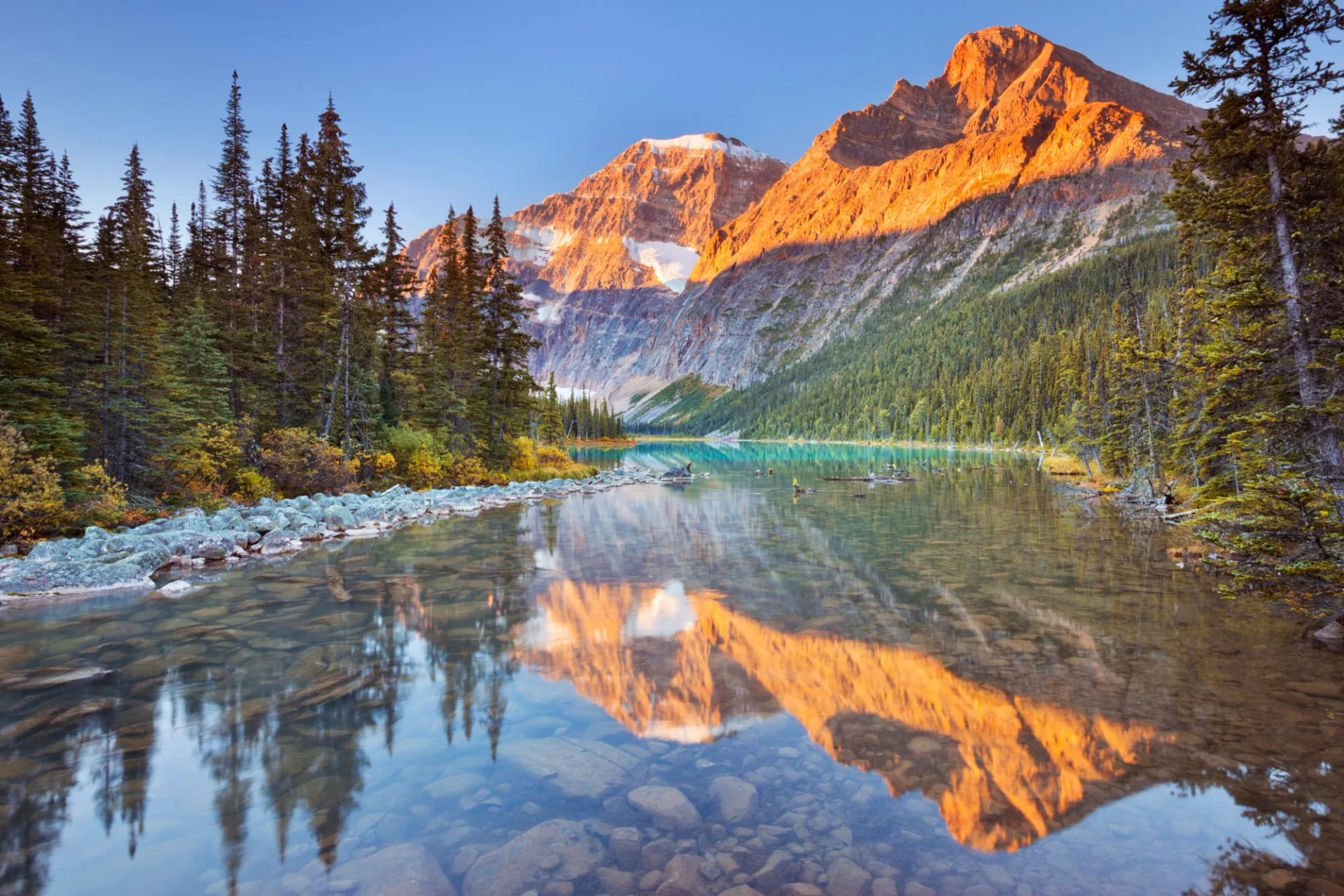
Grizzly and Black Bear Safety
This is the question everyone asks and the one most often answered badly. Both black bears and grizzlies live in every area covered by this guide. Attacks are rare, sightings are not, and the difference between a good encounter and a bad one is almost entirely about what you did before it started.
Start with telling them apart, because the response differs. Grizzlies have a pronounced shoulder hump, a dished face and long pale claws. Black bears have no hump, a straight profile and shorter dark claws, and they are not reliably black. If a bear is aware of you and moving away, let it. If it stands up, it is trying to identify you rather than threatening you.
The rules are simple and they are not optional. Carry bear spray on your belt or hip strap rather than in your pack, because it will do nothing from inside a rucksack. Make noise on blind corners and beside running water. Walk in a group where you can. Never run, never get between a mother and her cubs, and back away slowly while talking in a level voice. Even if they seem cute, do not approach them. Mothers with their young in particular can be very unpredictable.
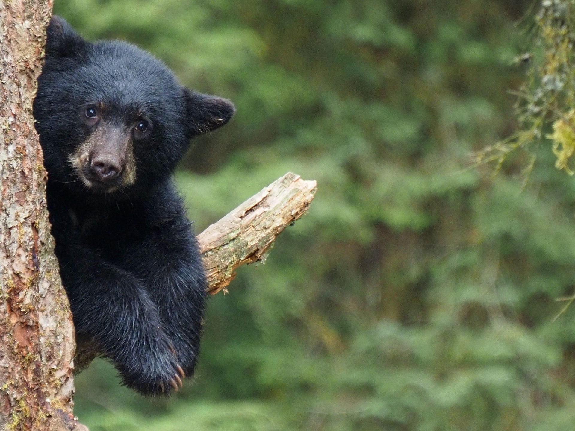
Food is the part people get wrong. Everything with a smell goes in the vehicle or a locker, never in a tent and never in a pack left at a viewpoint. That includes toothpaste, sunscreen and the wrapper you meant to throw away. Roadside bear jams are a real hazard in the Rockies: people stop, get out and approach, and rangers spend the summer breaking it up.
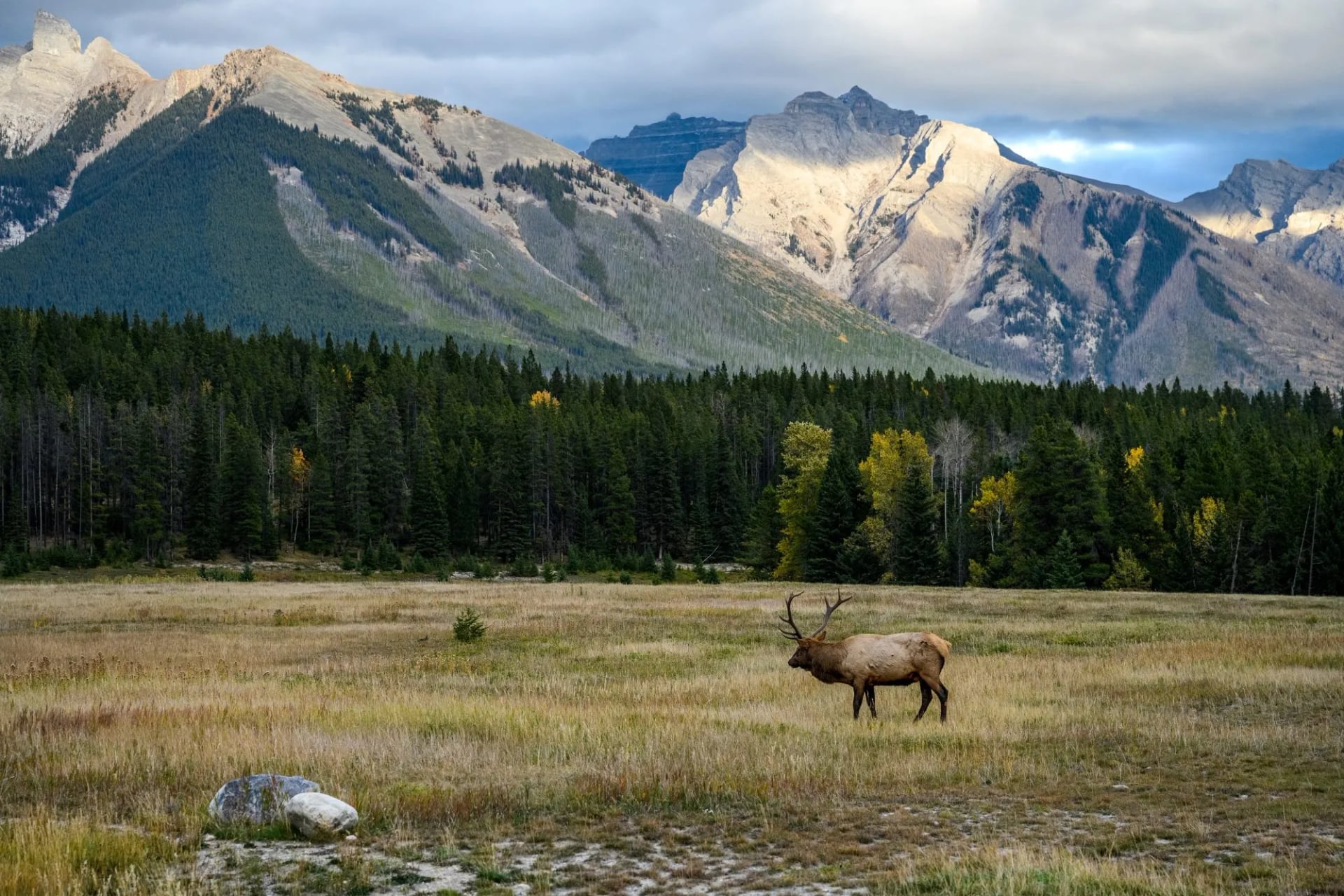
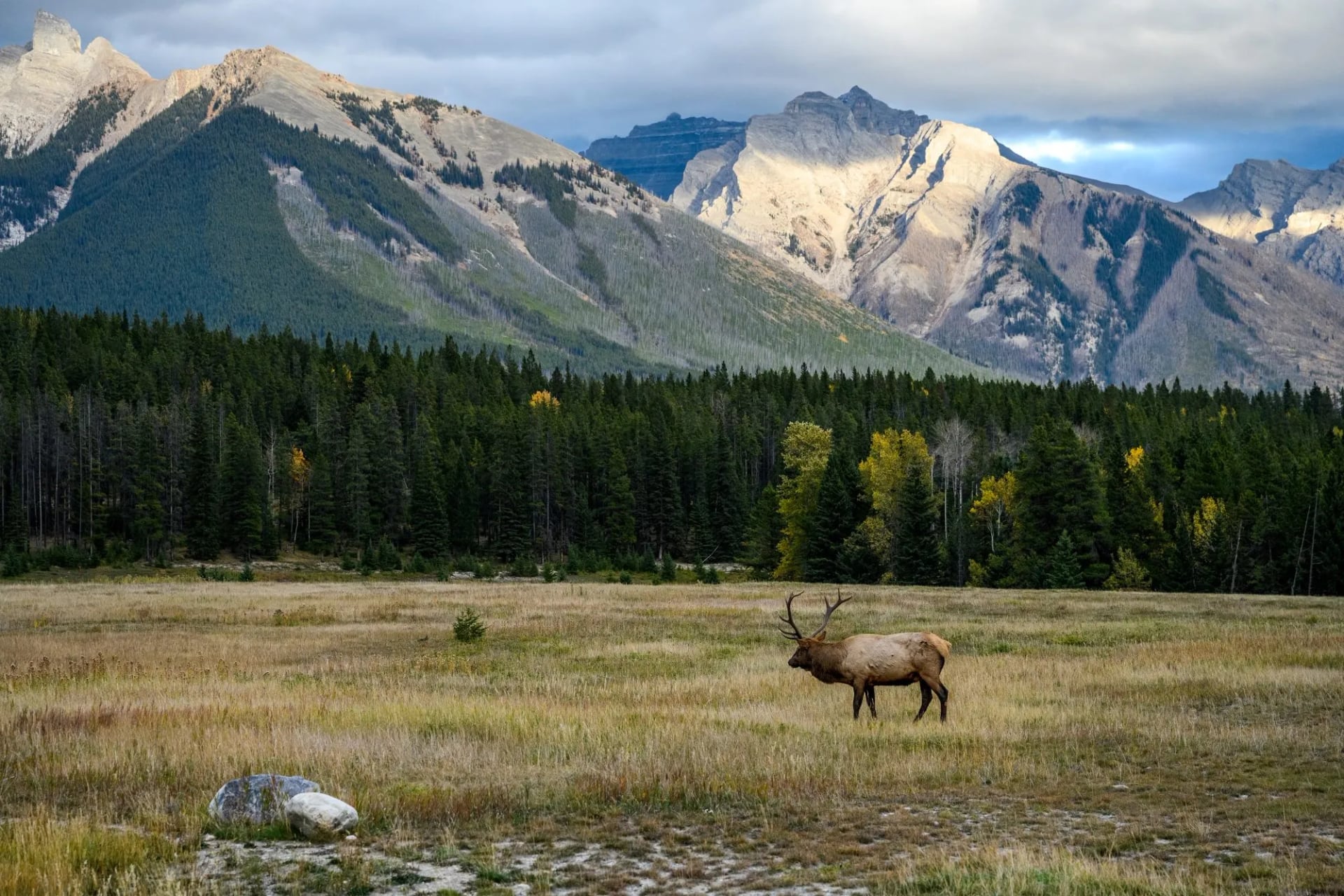
The rest of the wildlife is easier. Elk are common around the Jasper and Banff townsites and are more dangerous than they look in the autumn rut and in spring when calves are about. Moose want to be left alone. Mosquitoes are bad in June and July near standing water, and a head net weighs nothing.
What to Pack for Hiking in Canada
The Canadian day pack is heavier than a British one and lighter than an Alpine one, and the difference is mostly water, sun and the fact that nobody is going to sell you lunch at the top.
Carry 2 to 3 litres of water per person on a full day of 6 to 8 hours. The air is dry in the Rockies, the climbs are long, and treated water is not available on the trail. Carry all of your own food for the same reason: there are no huts serving meals, and the two Lake Louise teahouses are the only exceptions in this entire guide.

Waterproof jacket, always. Afternoon thunderstorms are routine in the Rockies in July and August, and the Coast Mountains can rain on any day of the year.
Layers rather than one warm thing. A summit at 2,500 metres can be fifteen degrees colder than the car park.
Sun hat, sunglasses and high factor sunscreen. Altitude, snow patches and thin dry air burn faster than people expect.
Poles. Every route here gives back everything it climbs, and the descents are long.
Boots with a real sole. Limestone scree and wet granite slab both punish smooth rubber.
A head net for June and July, and insect repellent for the evenings.
Gear to Buy or Hire in Canada
Most of your kit travels with you. Three or four things cannot, or should not, and knowing which saves an awkward afternoon at the start of a trip.
Bear spray cannot go on a plane, in the hold or in the cabin, so buy or hire it after you land. Outdoor shops in Banff, Jasper, Canmore, Squamish and Vancouver all stock it, hire is common and cheaper for a single week, and the canister has an expiry date worth checking before you pay for it.
Two more are worth considering. A satellite messenger earns its place here in a way it does not in Britain, because trails run fifteen kilometres from a road with no phone signal, and units can be hired by the week in both Banff and Squamish. Bear-resistant food storage is the other, though only if you are camping.
For a centre-based trip you do not need a bear canister, a tent or a stove. Those are backcountry items, required on the Skyline, the Berg Lake Trail and the West Coast Trail, and dead weight on everything else in this guide.
Trail Surfaces and Terrain
Canadian trails are built rather than worn, and they are generally excellent. The national parks maintain graded paths with bridges, steps and switchbacks on the popular routes, and the signposting is clear and in English. This is not a place where you navigate by instinct.
The surfaces differ by range, exactly as the geology predicts. The Rockies give grey limestone scree, dust and packed dirt through pine, with long stretches of loose stone above the treeline. The Coast Mountains give roots, wet rock, boardwalk over bog and coarse pale granite higher up, and that granite is superb underfoot when dry and treacherous when it is not.
Two things bite regardless of range. Altitude is real in the Rockies, where trailheads start at the height British summits finish. And the descents are long: on a day with 1,000 metres of climb you will lose all of it in an afternoon, and that is what your knees will remember.
Where You Sleep
Because the walking is centre-based, accommodation is simpler here than anywhere else in this guide. You book a hotel or lodge in one town for the whole week and drive out to a different trailhead each morning. There is no luggage transfer to arrange and no hut booking window to catch.
The alternative tiers are worth knowing. Canada has an excellent hostel network in the mountain parks, including several wilderness hostels on the Icefields Parkway with no electricity and a wood stove, which are far better than the word hostel suggests. Lodges outside the townsites are quieter and cheaper but commit you to driving everywhere.
There are also alpine huts, run mainly by the Alpine Club of Canada rather than by the parks. They are fewer and further apart than their Alpine equivalents, most are reached by a long approach or a glacier crossing, and they do not link into a network you can walk between. That is the single biggest structural difference between hiking here and hiking in Europe.
Why Canada Is Centre-Based
In Britain you walk from village to village and a van moves your bag. In the Alps you walk hut to hut. In the Canadian Rockies you do neither, and it is worth understanding why before you go looking for a through-route that does not exist.
The first reason is scale. Settlements in the Rockies are 60 to 100 kilometres apart with nothing but forest and wildlife in between, so there is no next village to walk to. The second is the permit system. Backcountry nights are quota-controlled and released on fixed dates, which makes a spontaneous multi-day itinerary close to impossible to assemble.
What that produces is good in its own way. You unpack once, you carry only a daypack, and you choose each morning from a menu of trailheads according to the weather and how the legs feel. A wet day becomes a canyon walk instead of a ridge, and nothing is lost.
Getting There
Two airports serve everything in this guide. Calgary is the gateway to the Rockies, with Banff 130 kilometres west along the Trans-Canada and Jasper a further four hours up the Icefields Parkway. Vancouver is the gateway to the Coast Mountains, with Squamish about an hour north on the Sea to Sky Highway.
Between the two ranges is a long way. Calgary to Vancouver is roughly 1,000 kilometres by road, so combining both in one trip means either a long drive over two days or an internal flight. It is worth doing, but not in a single week.
Once you are based, a car is close to essential. Banff and Jasper run summer shuttles to the busiest trailheads, and Lake Louise and Moraine Lake are shuttle-only in high season, but the services are built around sightseeing hours rather than around being at a trailhead at seven in the morning.
Permits, Passes and Access
There is no general right to roam here. The walking happens inside national and provincial parks, on maintained trails, under rules that are enforced rather than suggested, and the system is straightforward once you know its shape.
Everyone entering a national park needs a Parks Canada pass, bought by the day or as an annual Discovery Pass, and it is checked at the gates. A day pass runs until four in the afternoon of the following day. If you are in the Rockies for more than about a week the annual pass works out cheaper, and it covers Banff, Jasper, Yoho and Kootenay on the same trip. Provincial parks such as Garibaldi and Stawamus Chief are separate and free to enter, though some require a day-use parking reservation in peak season.
Day walking is far simpler and covers everything our three weeks do. Turn up with a park pass, park at the trailhead, walk. Anything involving a backcountry night needs its own reservation, booked through Parks Canada or BC Parks and released on a fixed date that regulars diary months in advance.
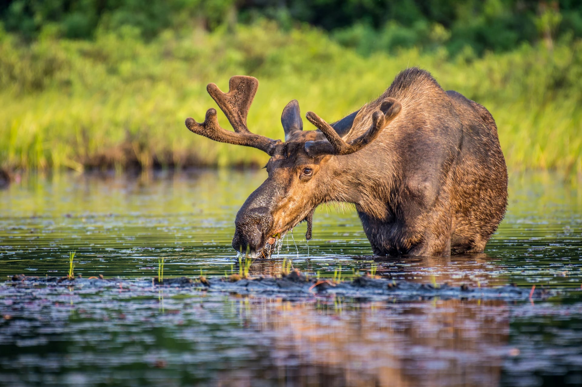
How the Railway Made the Rockies
The Canadian Pacific Railway drove its last spike in 1885, completing a line of more than 4,000 kilometres and immediately facing the problem that it ran through country with almost no passengers in it. The company's answer was to sell the scenery, and one of its managers put it in a sentence that decided the next century: if the traffic will not come to the scenery, the scenery must be brought to the traffic.
Everything followed from that. Banff National Park was created the same year around hot springs three railway workers had found, the CPR built hotels at its stations, and the towns of Banff and Jasper grew where the timetable put them rather than where anyone would otherwise have settled.
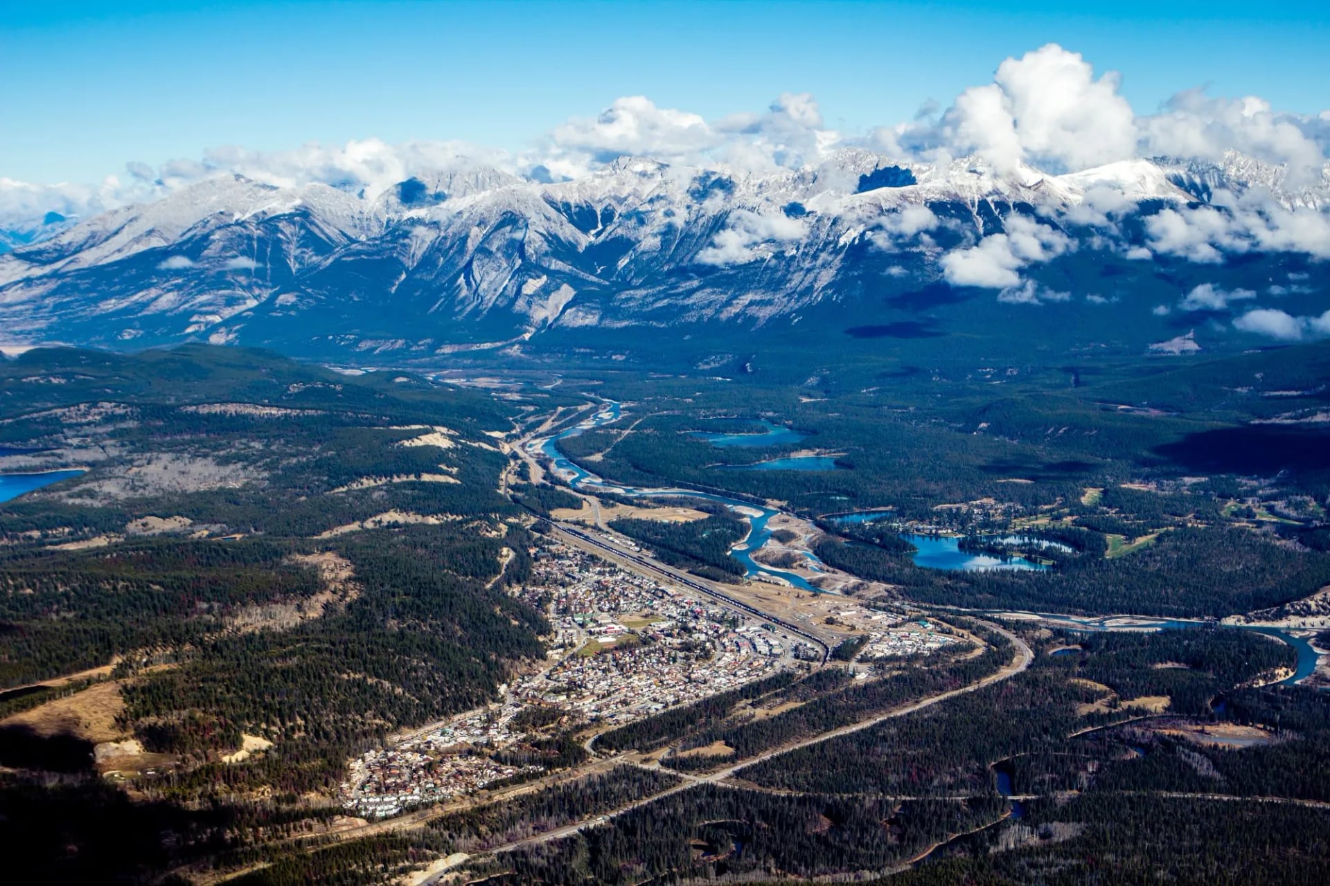
The Grand Railway Hotels
The Banff Springs Hotel opened in 1888 as a wooden chateau in the middle of nowhere, and the Chateau Lake Louise followed on the shore of the lake. Both were rebuilt larger in stone, both are still there, and both remain the visual anchor of their valleys. You do not have to stay in one to walk past it, and the teahouse trails start a few minutes from the Chateau door.
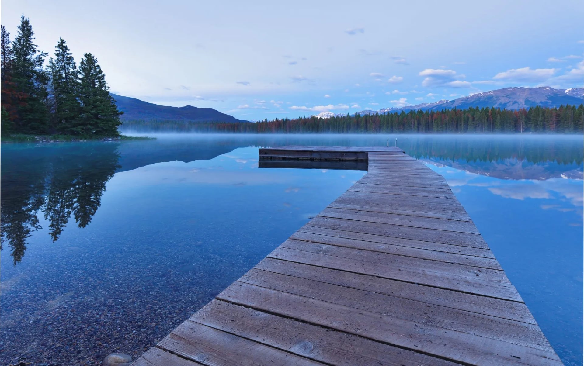
The Swiss Guides
Having built Alpine hotels, the CPR imported Alpine guides. From 1899 it brought Swiss mountain guides to the Rockies on seasonal contracts and eventually built them a village at Golden. They made many of the first ascents in these ranges and, more usefully for walkers, they laid out the routes. A great many of the paths you will walk began as a guide's line to a viewpoint a hotel guest could reach before dinner.
The Teahouses
The two survivors of that era are the reason the Lake Louise walks are unlike anything else in Canada. The Lake Agnes Teahouse and the Plain of Six Glaciers Teahouse were both built by the railway as rest stops on those guided routes. Both still run, both are still unreachable by road, supplies go up by horse and helicopter, and there is no electricity in either.
Frequently Asked Questions
Not sure whether the Rockies or the Coast Mountains suit you, or which month to aim for? Get in touch and we will match the range, the season and the daily distances to what you actually want from the week.

About this author
Jon is our travel advisor and an outdoor adventurer who is happiest on the move. While mountain biking is his personal passion, he thrives on crafting hiking adventures for others — planning routes and adding the little touches that turn a trip into a core memory.















.jpg&w=828&q=75)













































.jpg&w=828&q=75)






















