Hiking Velebit: Croatia's Ridge Above the Sea
From Premužić's dry-stone ridge path in the north to Paklenica's canyons in the south — one 145-km range, two national parks, and how to walk either.
Published October 2, 2026
Edited October 2, 2026
13 min read
Don't want to read all this?
We've planned 2,000+ hiking trips. Send your dates, fitness and group size — we'll map the route and book every night.



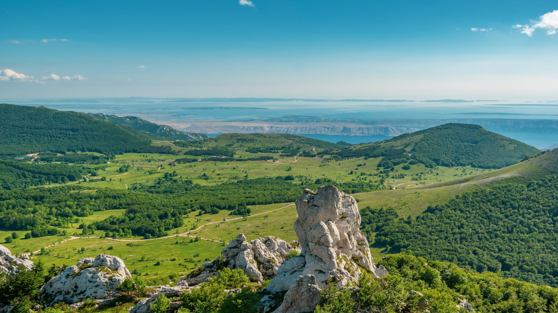
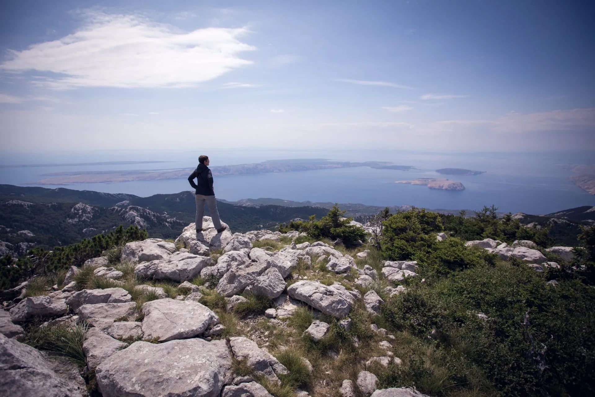
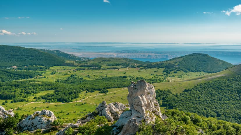
Velebit runs 145 kilometers down the Croatian coast, from the hills above Senj to the ridge behind Zadar, with the Adriatic on one side and the Lika plateau on the other. It is the longest mountain range in the country, and all of it is protected: Velebit Nature Park covers roughly 2,200 square kilometers, the largest single protected area in Croatia.
Two national parks sit inside that nature park. Northern Velebit holds the ridge traverse most hikers come for, and Paklenica holds the canyons, the climbing and the range's highest summit. They are one mountain and two entirely different walking weeks, and choosing between them is the first real decision you make.
Quick facts:
Where: the Croatian coast between Senj and Zadar, 145 km of it
Two national parks: Northern Velebit in the north, Paklenica in the south
Highest point: Vaganski vrh, 1,757 m — in Paklenica, not in the north
Best season: June to late September on the northern ridge, March to November in Paklenica
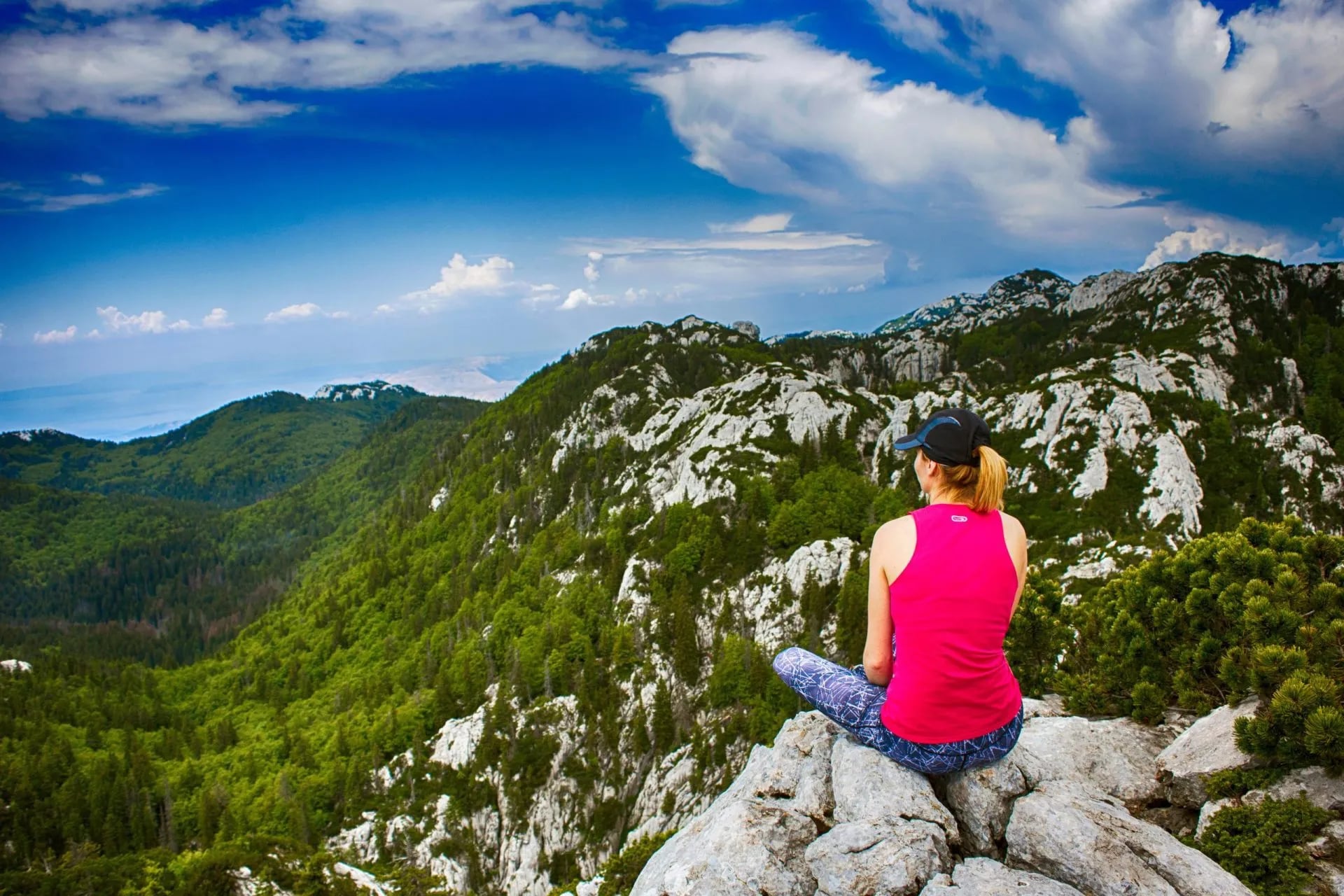
Route snapshot
Northern Velebit (Premužić) | Paklenica | |
|---|---|---|
Type | Ridge traverse | Canyon and peak walks |
Walked length | 48.5 km over three days | 150–200 km of marked trails |
Overnight | Mountain huts and a shelter | Coastal town base |
Highest point | 1,630 m on the trail | 1,757 m (Vaganski vrh) |
Difficulty | 3/5 technical, 3/5 fitness | 2/5 – 4/5, route dependent |
Best season | June – late September | March – November |
Base city | Zagreb (2.5 hr transfer) | Zadar (45 min) |
Typical duration | 3 walking days | 2 – 4 days |
One Range, Two Parks
UNESCO added Velebit to its World Network of Biosphere Reserves in 1978, and Croatia protected the whole range as a nature park three years later. Everything you walk here sits inside that designation, which is why the rules on waste, camping and off-trail movement are stricter than they look on a map.
Inside the nature park are two of Croatia's eight national parks.
Paklenica is the older by fifty years, declared in October 1949 and covering 95 square kilometers at the southern end of the range.
Northern Velebit National Park came only in 1999, covering 109 square kilometers of the highest, wildest ground in the north. In 2017 the primeval beech forests in both parks, around 3,321 hectares of them, went onto the UNESCO World Heritage List as part of Europe's transnational beech forest site.
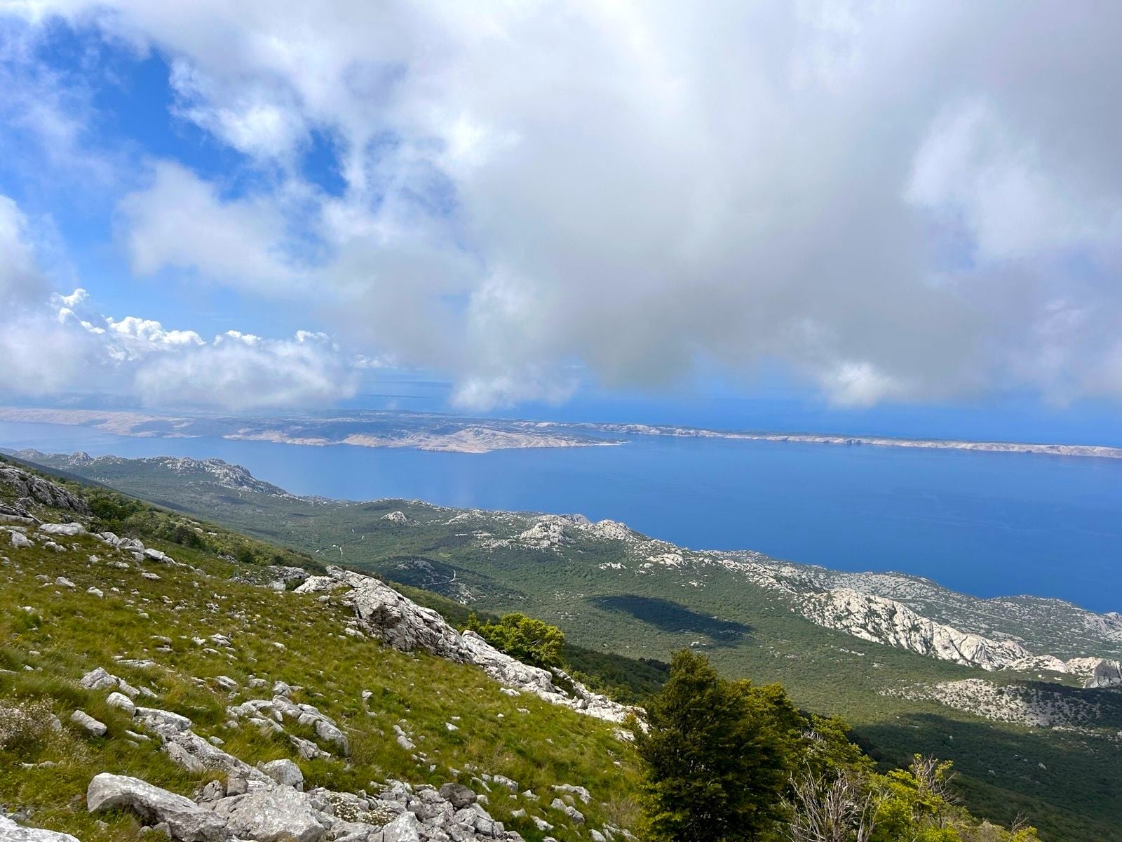
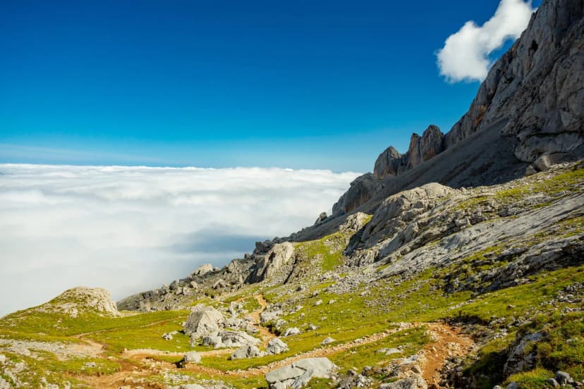
The two parks share a mountain and almost nothing else. The north is a ridge: rolling limestone with the sea permanently on your right, huts a full day's walk apart, and no road access across the middle of it. The south is vertical: two canyons cut back from the coast, walls that carry around 600 equipped climbing routes and made Paklenica the center of the sport in Croatia, and the range's summit standing above them. Vaganski vrh, at 1,757 m, is the high point of the entire range, and it is in the southern park — not on the northern ridge this guide's first half is about.
The wildest ground in the north is closed to you entirely. Hajdučki i Rožanski kukovi is a single strict nature reserve, the highest protection Croatia applies, and the pinnacle fields inside it are off limits to foot traffic. Lukina jama, the deepest cave in Croatia at nearly 1,400 m, drops away beneath the same ground. You walk past all of it at a distance.
The Premužić Trail
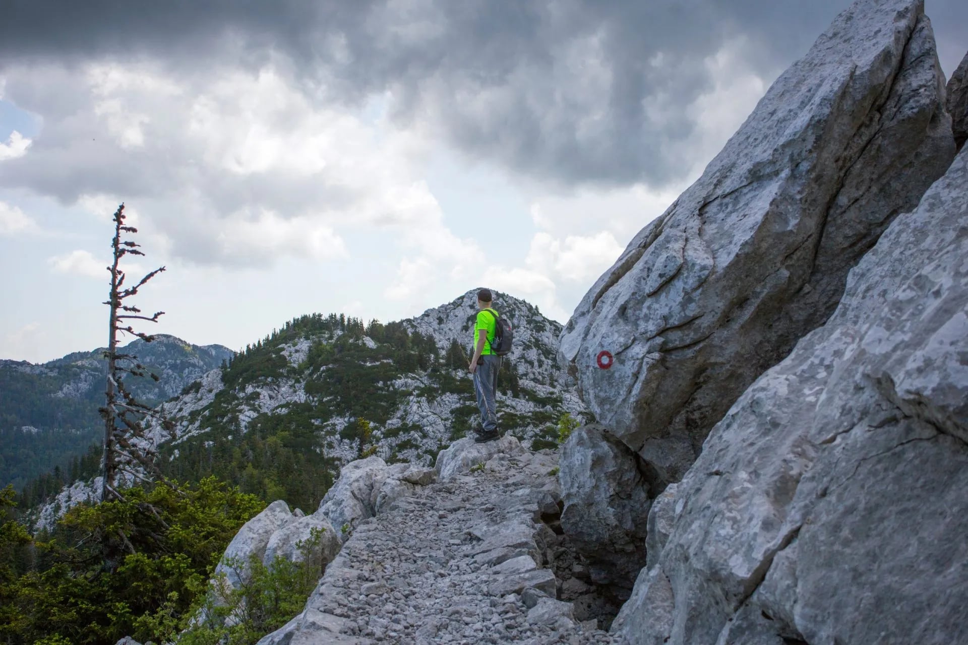
Everything accessible about walking Northern Velebit traces back to one forestry engineer. In the late 1920s the Croatian Mountaineering Association wanted a route through the highest part of the range, and the karst was not ground an ordinary club footpath could cross. Ante Premužić, who had laid forest roads through limestone before, was hired to design something better.
What his crews built between 1930 and 1933 is a dry-stone footpath: hand-cut limestone, no mortar, contoured so precisely that the average gradient is about 10 percent and the steepest pitch, at Crikvena saddle, reaches only 20. It is the reason you can walk this ridge in boots rather than a helmet.
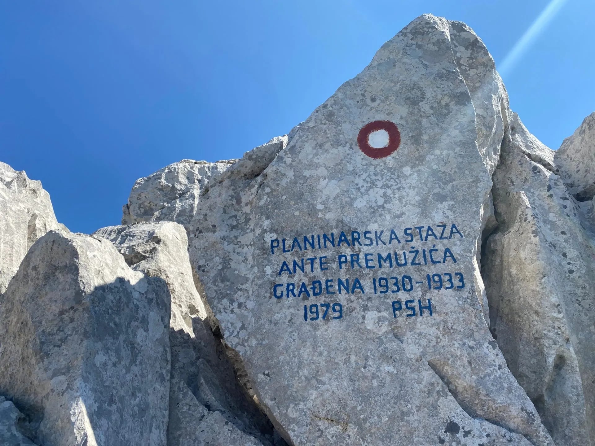
The numbers need splitting, because the headline figure and the walking figure are not the same. The full trail runs 57 km from Oltari to Baške Oštarije, but the ridge section walkers actually do, from Zavižan south, is 46 km — and only 16 of those kilometers lie inside Northern Velebit National Park. The rest crosses the nature park beyond it. The trail's own high point is 1,630 m; the Zavižan summit above it reaches 1,676 m. The same ridge carries a stretch of the Via Dinarica White Line.
Walked as a traverse, it fills five calendar days with three days of walking between them:
Day | From | To | Distance | Elevation |
|---|---|---|---|---|
1 | Zagreb (arrival) | Zagreb | — | — |
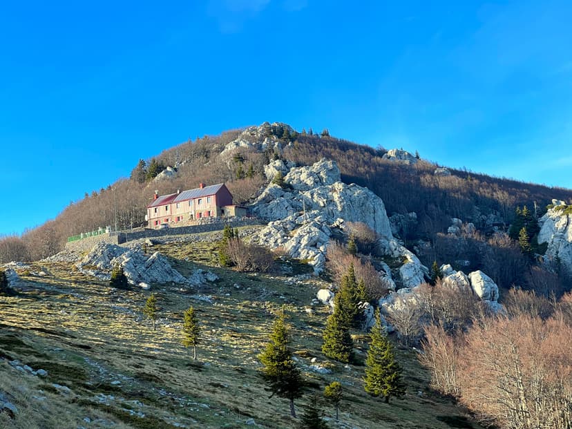
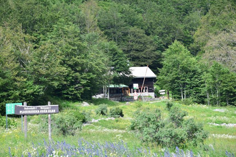
2 | Zavižan | Alan Hut | 15 km | +410 / −650 m |
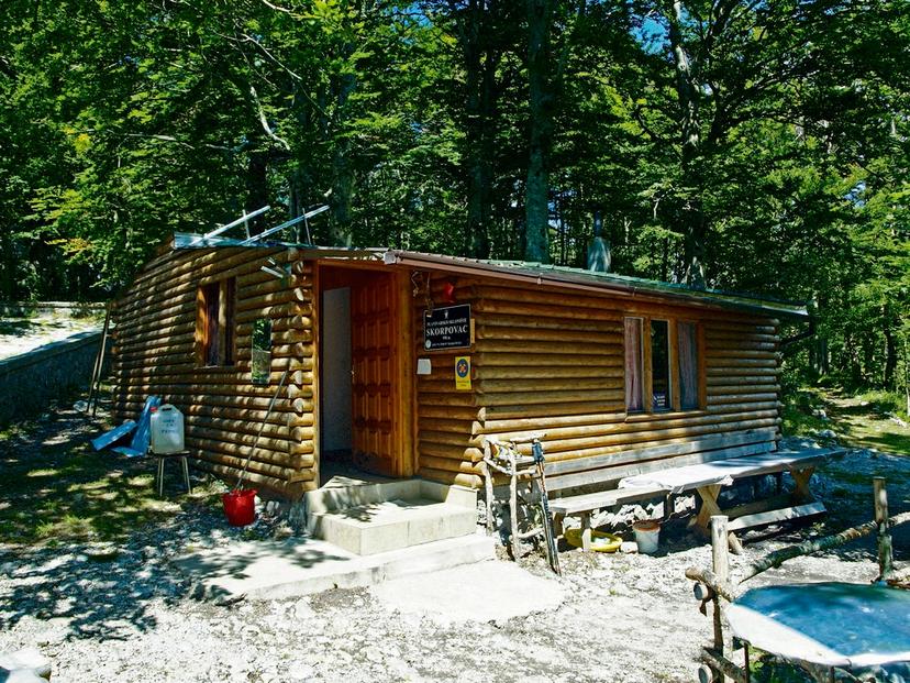
3 | Alan Hut | Skorpovac Shelter | 19.5 km | +200 / −590 m |
4 | Skorpovac | Baške Oštarije | 14 km | +170 / −210 m |
5 | Baške Oštarije | Zagreb / Zadar | — | — |
That comes to 48.5 km with about 780 m of climb and 1,450 m of descent — slightly more than the 46 km of trail, because the stages include the short approaches to the huts at either end of each day. The shape matters more than the totals: the biggest drop comes on the first walking day, off Zavižan, and each day after it is gentler than the one before. Anyone expecting the sting in the tail has it backwards.
If you would rather not assemble the huts, the transfers and the shelter logistics yourself, our five-day version books all of it, moves your luggage between stops, and puts the route on your phone with notes for each day — including dinner at the unmanned shelter on night three, which is arranged for you.
Where You Sleep
You start at Zavižan and sleep at three places on the way south: Alan, a staffed hut; Skorpovac, unmanned; and Baške Oštarije, a pass village with a proper bed. Each one asks something different of what you carry, and the differences decide your pack more than the distances do.
Conditions on the Ridge
Velebit is limestone karst, and karst changes what a hiker can count on. Three things to keep in mind:
Water is the first constraint. Rain lands on the ridge and disappears into the rock, so there are almost no surface sources between the huts. One stream between the Ograđenica shelter and Skorpovac, on the second walking day, runs in wet spells and dries up in long ones. The huts depend on cisterns and the shelter on its well, and that water should be filtered, treated or boiled before you drink it. Carry at least 3.5 liters a day, and treat any open hut selling bottled water as your last resupply for the next 15 to 20 kilometers. On a hot July day, four liters is the honest number.
The second is the bura, the cold katabatic wind that funnels off the Lika plateau and hits the exposed ridge with very little warning. Winter gusts above 150 km/h are recorded routinely, and even in summer the wind can turn a 20 °C ridge into something closer to 5 °C within minutes. Check the Zavižan reading the night before and move your start time if the bura is due.
The third is afternoon storms, which build fast in July and August. The karst plateau heats through the morning and the cells organize by early afternoon, so be off the highest ground by two o'clock in midsummer. Our guide to extreme weather on the trail covers what to do if one catches you out.
None of that is unusual mountain weather on its own. What makes Velebit particular is how it compounds: the rock that drains the water is the rock the wind scours, and the shelter you are counting on is a full day away. Understand that and the mountain becomes a planning problem rather than a gamble.
Navigation is not part of the problem. The trail is signposted and marked clearly along its length, and getting lost takes real effort. Phone coverage is the opposite — there is little to none anywhere on the ridge, so download your maps and route notes before you leave the road.
How Hard It Is
The northern traverse sits at 3/5 technical and 3/5 fitness on our difficulty scale, a step up from the gentler Camino stages. In practice that means walking days of 14 to 19.5 kilometers, between 170 and 410 meters of climb spread across each day rather than front-loaded, and no via ferrata, no glacier and very little exposure.
What makes it work is the engineering. Premužić's gradients are kind, so the difficulty is not in any single climb. It is in three consecutive days with a pack, on uneven limestone that turns slick when wet, a long way from a road.
One ask is genuinely asymmetric, and it is footwear. Cheap boots do not last long on karst. A stiff sole and a working tread matter more here than the badge on the outside, and trail runners only work if they are not already finished.
If you have walked the Camino Francés, a Tour du Mont Blanc stage or a Dolomites hut circuit, you will be comfortable. If this would be your first hut-to-hut week, it is a demanding introduction — the days are manageable and the path is forgiving, but the self-sufficiency between huts is not something you can improvise. Self-guided walking works here for hikers who can navigate from a GPX and carry their own supplies.
The Short Northern Season
The northern season runs from early June to late September, with margins at either end that depend on the year's snow and storms. Inside that window the month shapes the trip.
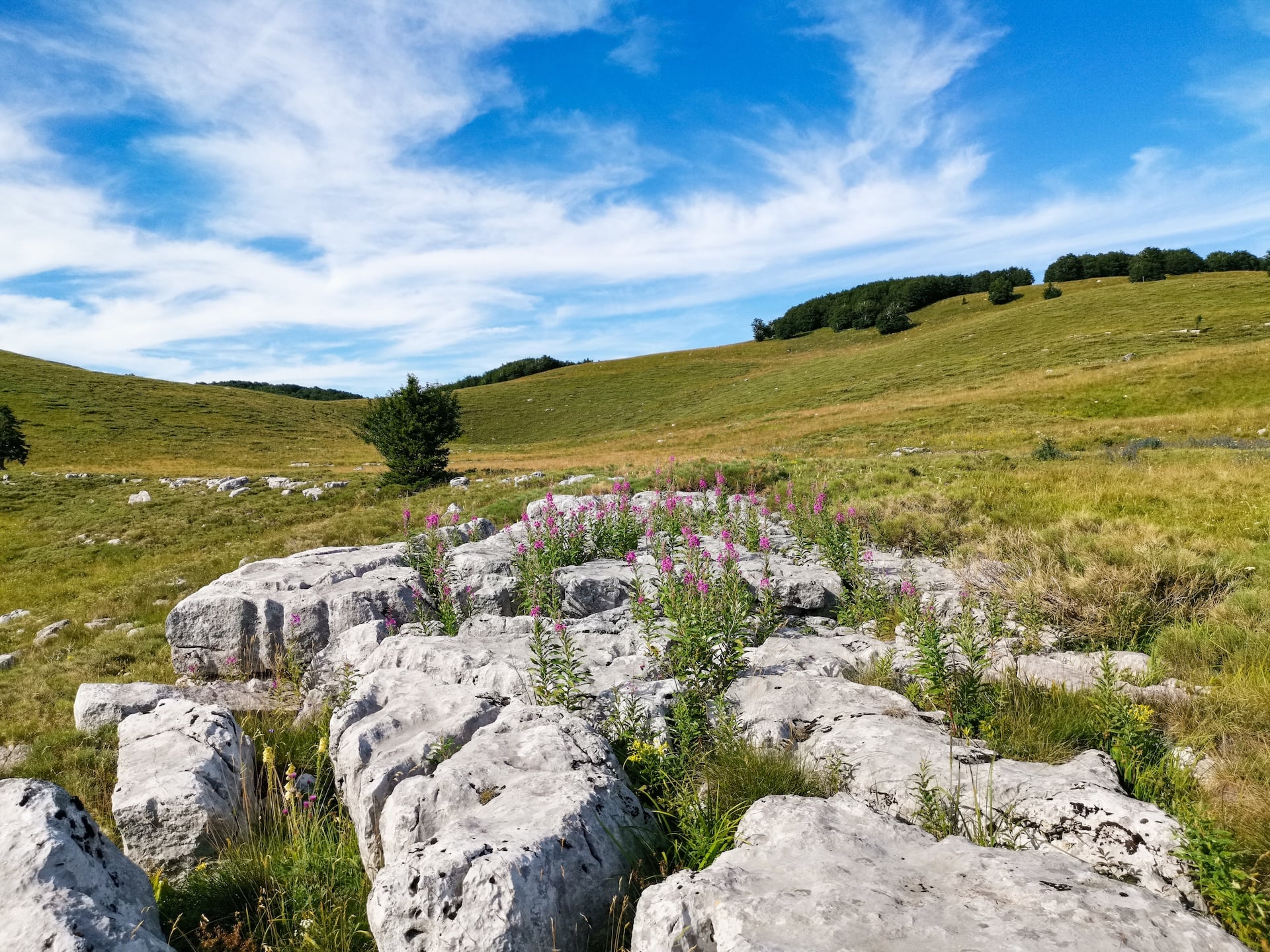
June gives you the most solitude and wildflowers on the ridge. Snow can hold in shaded gullies but rarely blocks the trail.
July brings long light and dry walking, with storms building through the afternoon. It is popular with Croatian and Slovenian holidaymakers, and apart from Skorpovac the shelters run first come, first served.
August is the busiest month, tracking the European holidays. The ridge stays cooler than the coast, and the afternoon storm risk peaks. Book two months out for weekends.
September is the strongest month for most walkers — cooler air, drier ground, thinner traffic. If a single month has to be picked, early September does the most for the widest range of people.
From October the ridge belongs to people with winter skills and local knowledge, not to walkers.
Paklenica runs on a different calendar entirely, and that is the next section.
Walking in Paklenica
The southern park is the one most visitors reach first, because it opens straight off the coast road at Starigrad, 45 minutes from Zadar. Where the north is a traverse, Paklenica is a base-and-return park: you sleep in a town, drive or walk to the canyon mouth, and come back the same evening.
Two canyons cut back into the range from the sea. Velika Paklenica runs 14 km inland and between 500 and 800 meters wide, and it carries almost all the walking traffic. Mala Paklenica is smaller at 12 km and 400 to 500 meters, rougher underfoot and far quieter. Between them, Paklenica National Park holds 150 to 200 kilometers of marked trails, which is more walking than the northern ridge offers in total.
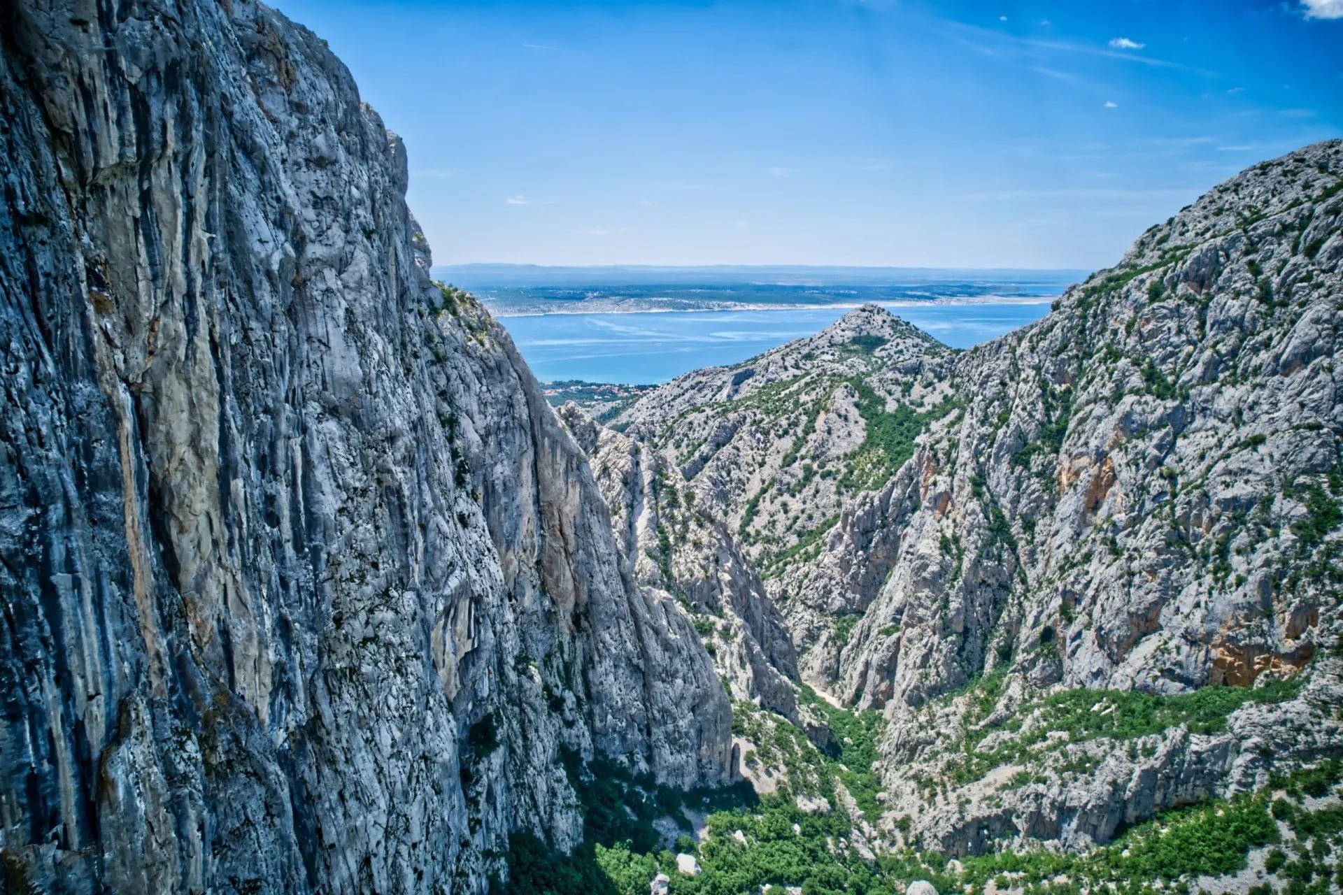
The walks divide by how much of a day you want to give them. Manita peć, the show cave above the main canyon, is about an hour and a half up from the Velika Paklenica parking area and back down the same way. Deeper in, the trails reach the Lugarnica forest cottage and the park's mountain hut, and from there the long ascent of Vaganski vrh (1,757 m) — the highest point in the whole Velebit range, and a full day from the canyon floor.
Paklenica is also where Croatia's climbing is concentrated. Those routes run from grade 3 to 8b+, and the big face of Anića kuk rises straight out of the Velika Paklenica floor. You do not need to climb to benefit from it: the walking trails run directly beneath the routes, and the canyon is busiest and most alive in spring, when the climbing season peaks.
The practical difference from the north is the season. Paklenica is walkable from March to November, more than twice the northern window, because the canyon floor sits near sea level and the coast stays mild. It is at its best in spring and autumn; the canyon holds heat through July and August in a way the ridge never does.
Our seven-day Croatia national parks week walks Velika Paklenica as a 16-kilometer day with 1,050 meters of ascent, with the cave as an option on the way, and pairs it with Plitvice, Krka and Biokovo on a drive down the coast from Zagreb to Split.
Which Park Fits You
The two parks do not combine well inside one week, and it is worth being plain about why. The north is a point-to-point traverse with morning starts from mountain refuges; the south is a series of day walks from a coastal town. Doing both means two bases and a three-hour transfer between them, or dropping one of them to a single day.
They also filter for different hikers. The north asks you to be comfortable with cistern water, an unmanned shelter and no phone signal for three days. Paklenica asks for a hotel booking and a rental car. If you want a hot shower and a restaurant menu every evening, the south is the honest answer, and there is no shame in it — Vaganski vrh is down there.
The useful way to think about it is what each one pairs with. The northern traverse is a trip in itself, five days from Zagreb and back with nothing else in it. Paklenica is a component, and it fits naturally alongside Plitvice, Krka and Biokovo on a coastal route south.
Whichever you pick, we book the beds, arrange the transfers, and put the route on your phone with notes for every day — including the shelter night in the north, where dinner has to be carried in. Our Croatia walking collection covers both ends of Velebit and the islands and coast beyond them, and the ultimate guide to hiking in Croatia puts the range alongside the country's other mountains, parks and coast.














.jpg&w=828&q=75)




















































.jpg&w=828&q=75)























