Kesch Trek: Four Days Hut to Hut in Graubünden
The Kesch Trek runs 52.9 km over four stages between three Swiss Alpine Club huts, with no cables or glacier gear and a firing range that shuts it twice a year.

Jon
Published September 1, 2026
Edited September 22, 2026
22 min read
Quick links
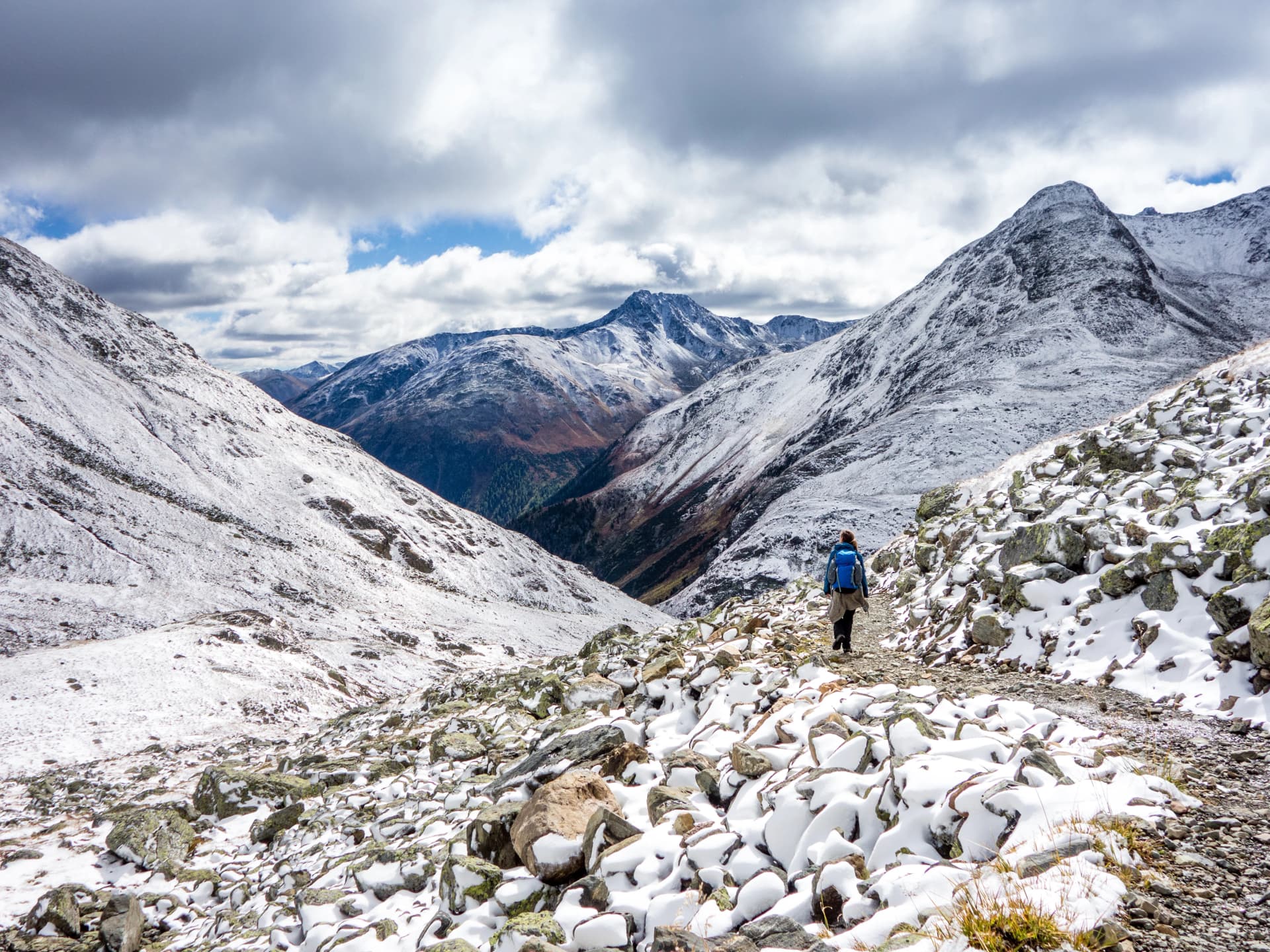
The Kesch Trek crosses the Albula Alps between the Flüela and Albula passes, linking three Swiss Alpine Club huts in four walking days. It starts above Davos and finishes in the Romansh village of Bergün.
It is the rare Swiss hut trek that asks for no cables, ladders or glacier gear, which is why it works as a first multi-day alpine route. It is also quiet, because almost nobody outside Graubünden has heard of it. For the wider picture, our ultimate Switzerland hiking guide covers the country. Our guide to hiking in the Alps sets the range beside the others.
The part almost no other page mentions is that the army closes it twice a year.
The Kesch Trek Stage by Stage
The waymarking is the standard Swiss mountain system in white, red and white, which puts the route in the T2 to T3 band of the Swiss Alpine Club scale.
Stage 1: Flüela Pass to Grialetsch
Distance: 6.5 km
Ascent: 450 m
Descent: 300 m
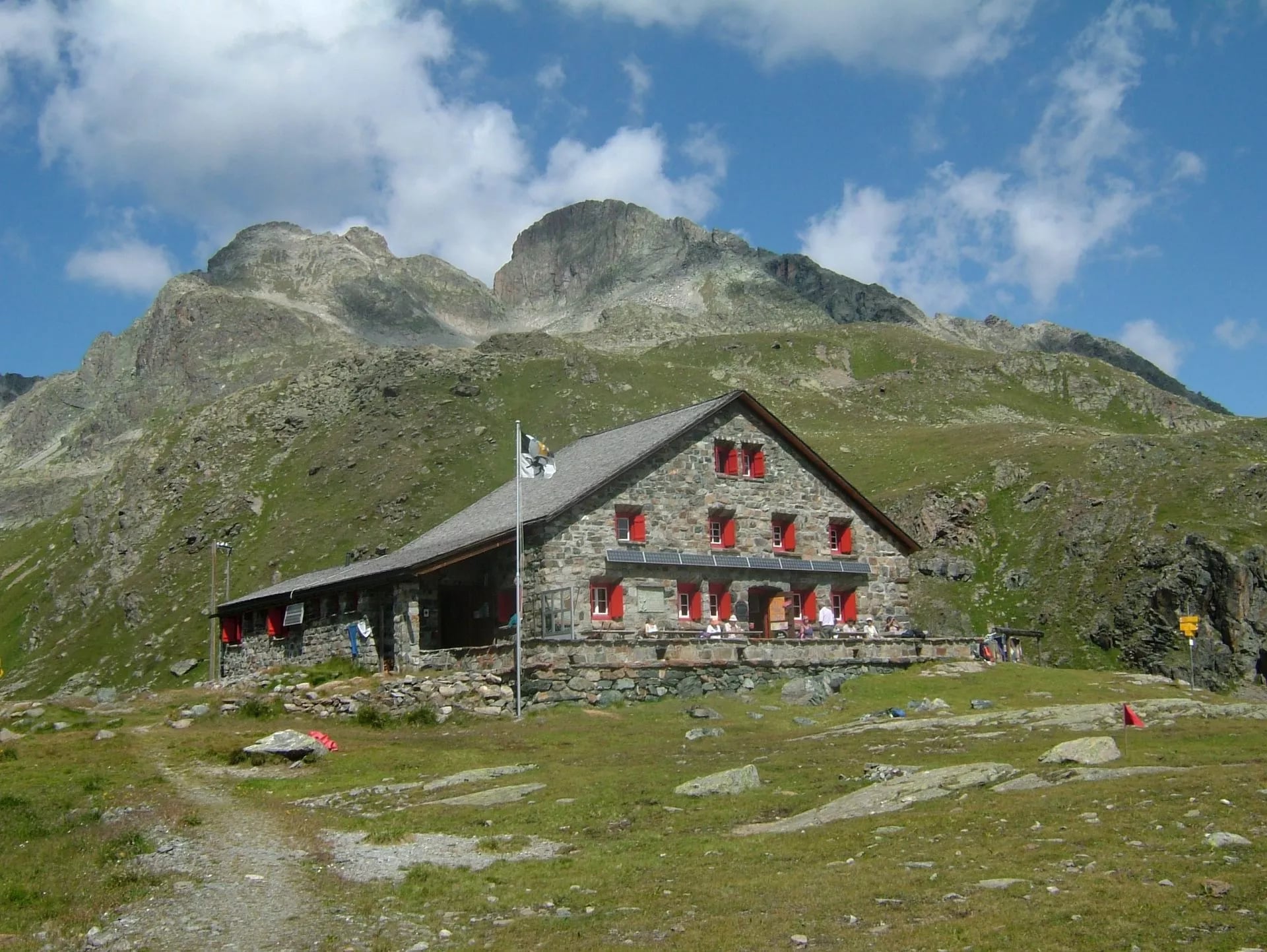
Sleeping: Chamanna da Grialetsch, 2,542 m
The shortest walking day, at roughly two and a half hours. The bus drops you at Chants-ura on the Flüela Pass road, and the path contours south into the Val Grialetsch on old moraine and grass.
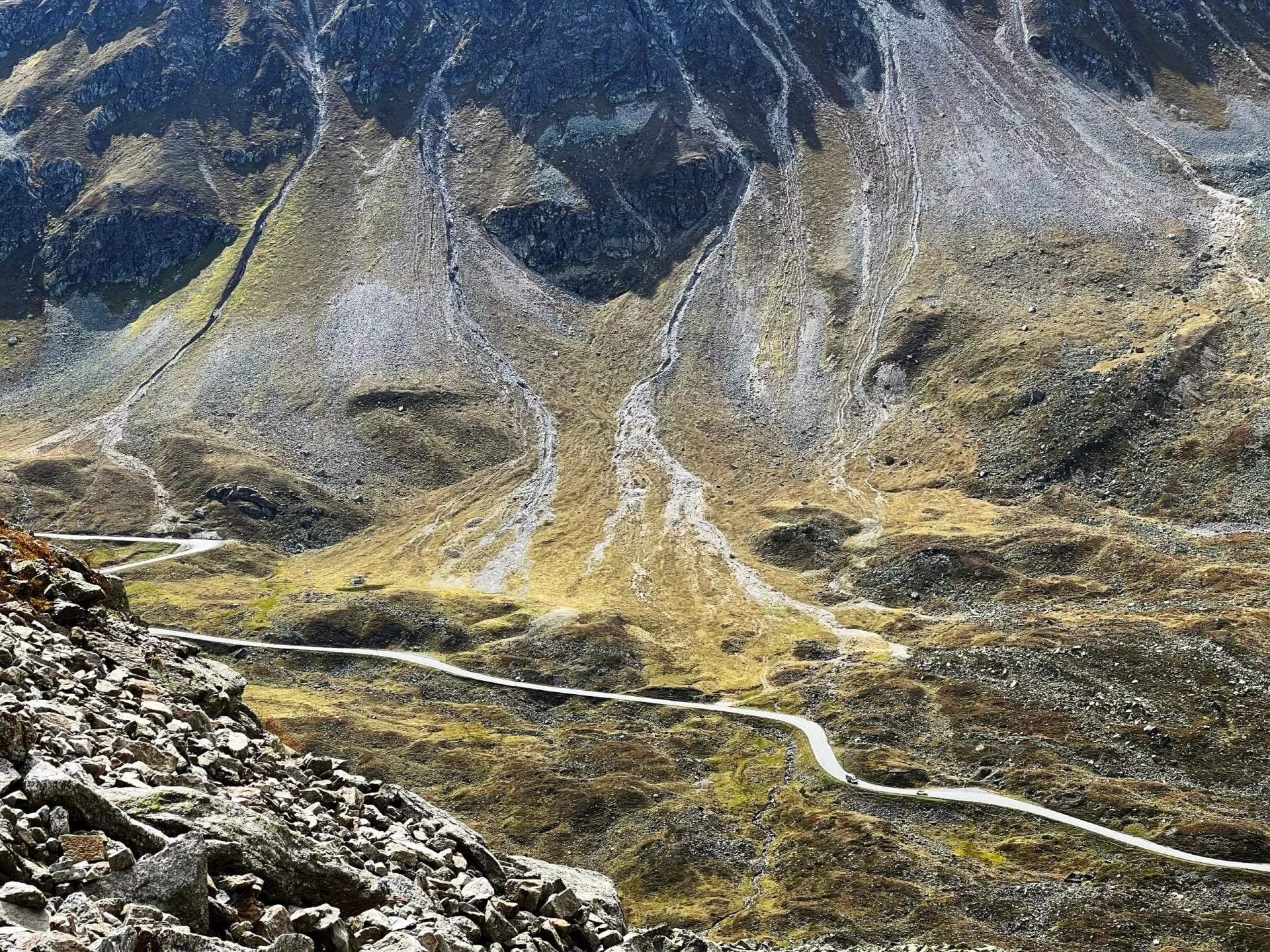
You arrive at the hut in the early afternoon with half a day to acclimatise, which matters more than it sounds when the next three nights are all spent above 2,500 metres. The stage climbs very little, and there is no exposure at all.
Use the spare hours rather than sitting on them. The basin behind the hut holds small tarns and old moraine ridges left by a glacier that has since pulled back out of sight, the marmots are thoroughly used to people, and the evening light on the north faces is the best of the trek.
Walkers starting from Davos Dürrboden instead take a similar time up the Dischma valley, on a gentler gradient and a better surface. That variant is the one the huts themselves advertise, and it works better if your train into Davos arrives late in the day. Either approach reaches the same hut by mid-afternoon.
Stage 2: Grialetsch to Kesch Hut
Distance: 13 km
Ascent: 590 m
Descent: 520 m
Sleeping: Chamanna digl Kesch, 2,625 m
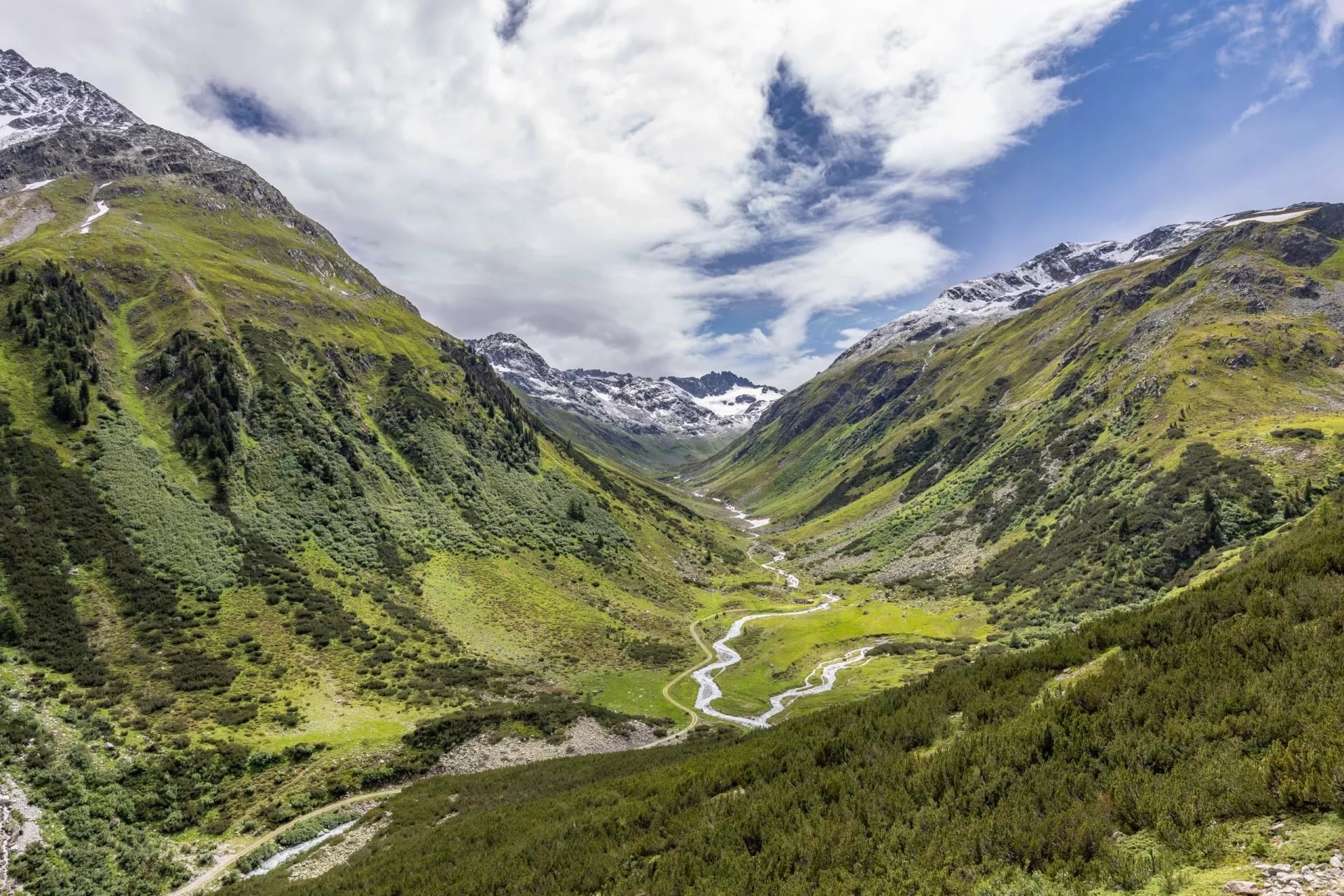
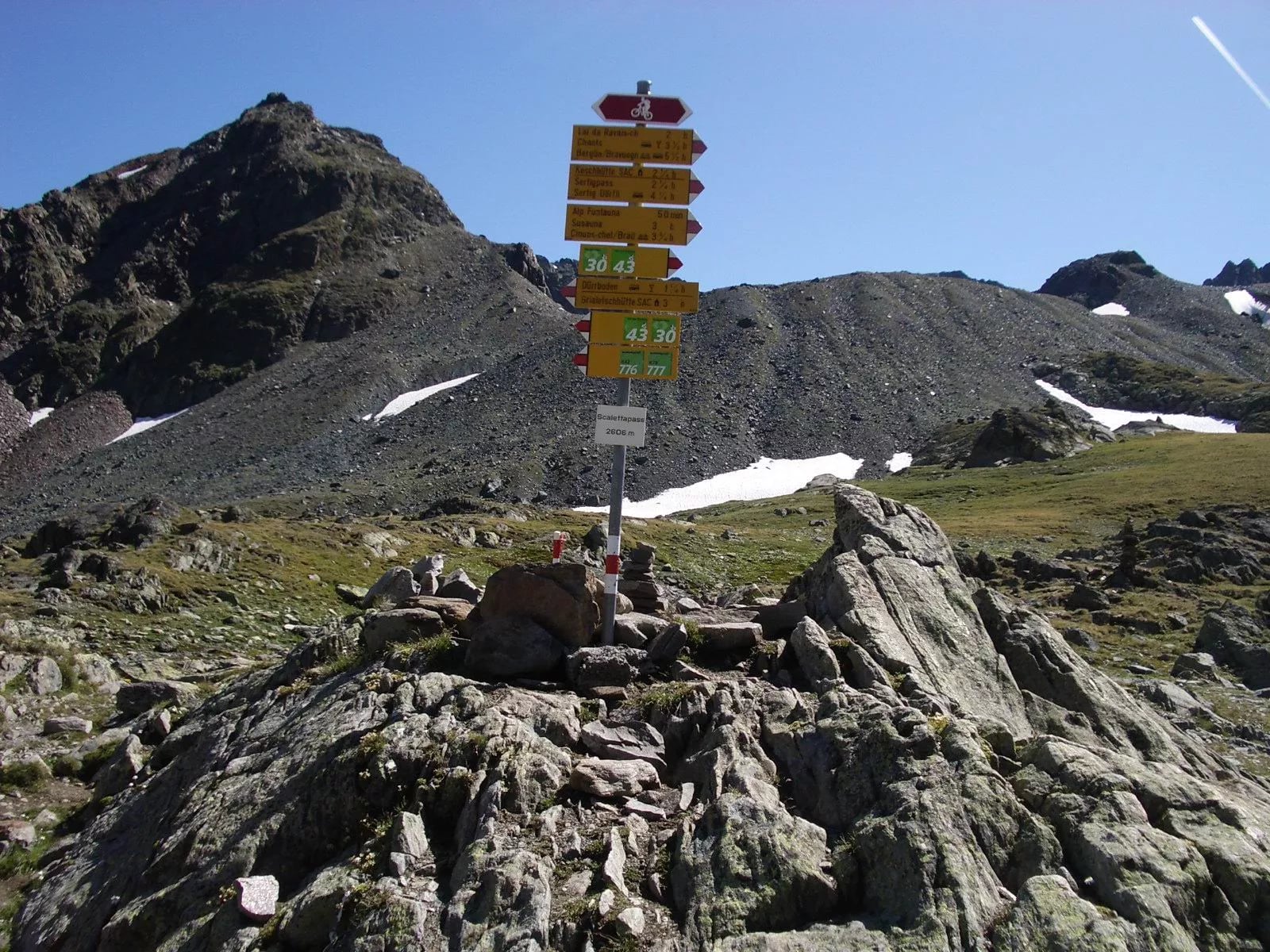
About five and a half hours, and the day the trek turns properly alpine. The path climbs to the Scaletta Pass at 2,606 metres, then drops and traverses east under the north side of the range on a long, patient contour.
That pass is the reason this stage is far more interesting than its profile suggests. Through the late Middle Ages it carried the wine road from the Valtellina north into Davos, and the mule drivers who worked it left villages at either end: Dürrboden on the Davos side, Susauna on the Engadine side, with a hospice down at Chapella.
Walser farmers had settled the Davos valley from around 1280 and traded over this saddle as far as Tyrol, bringing salt back the other way. Then the Flüela road went in between 1866 and 1868, wheeled traffic took the easier line, and the Scaletta lost its job in a single decade. You are walking a motorway that closed 160 years ago.
Underfoot, expect boulder fields and old snow patches in the first half of the season, which slow the pace well below anything you would manage on a valley path. Plan this stage in hours rather than distance, and start it early enough that a slow crossing does not matter.
This is also the section that runs through closed military ground, so it is the one to check before you book anything at all. Nothing about the terrain will warn you. The closure is a calendar problem, not a navigational one, and the season section below deals with it properly.
Stage 3: Kesch Hut to Es-cha Hut
Distance: 14 km
Ascent: 970 m
Descent: 1,000 m
Sleeping: Chamanna d'Es-cha, 2,594 m
The crux, again about five and a half hours, crossing Fuorcla Pischa at roughly 2,870 metres. It is a steep, stony saddle with no shelter on either approach, and it is the day to start early and watch the sky. The Porchabella glacier hangs above the hut you have just left.
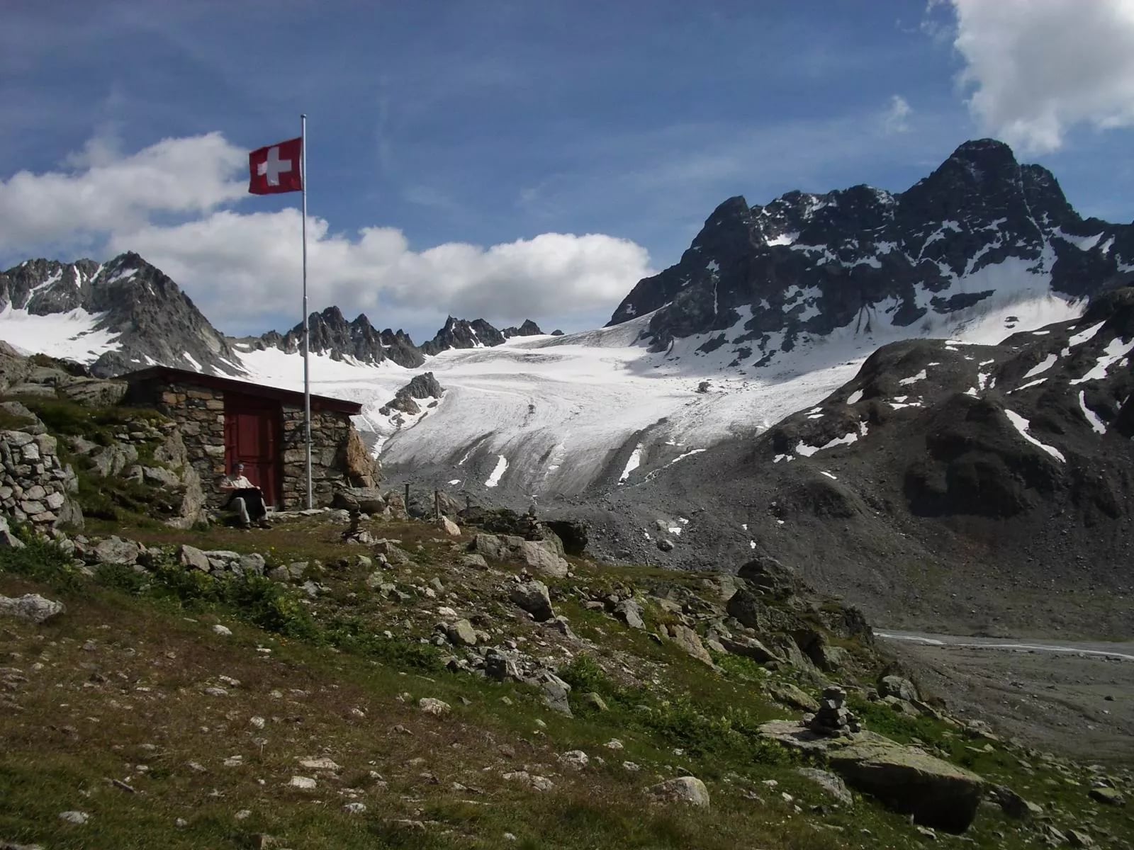
The climb out is the steepest sustained hour of the trek, on a path that switchbacks through broken rock rather than loose scree. There is no scrambling, but there are stretches where hands come out of pockets for balance, and this is the day poles earn the weight you have carried them for.
From the saddle the ground opens south and the walking changes character completely. The trail passes Alp digl Chant on the long descent and reaches the Es-cha hut on the Engadine side of the mountain. This is the best view of Piz Kesch on the whole route, because you finally see it from the south rather than end on.
In poor weather this is the stage people abandon, and the escape runs down into the Engadine valley rather than onward to the next hut. That is worth knowing before you set out, because there is no shortcut back to the Kesch hut once you are over the saddle.
Stage 4: Es-cha Hut to Bergün
Distance: 20.5 km
Ascent: 80 m
Descent: 1,310 m
Sleeping: Bergün
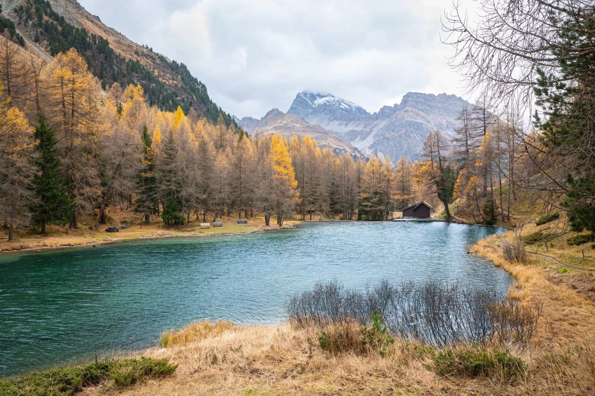
Around four hours to Preda, and almost all of it downhill. The path drops to the Albula Pass road, then follows the valley past Lai da Palpuogna, a lake at 1,918 metres that Swiss viewers voted the country's most beautiful place in 2007.
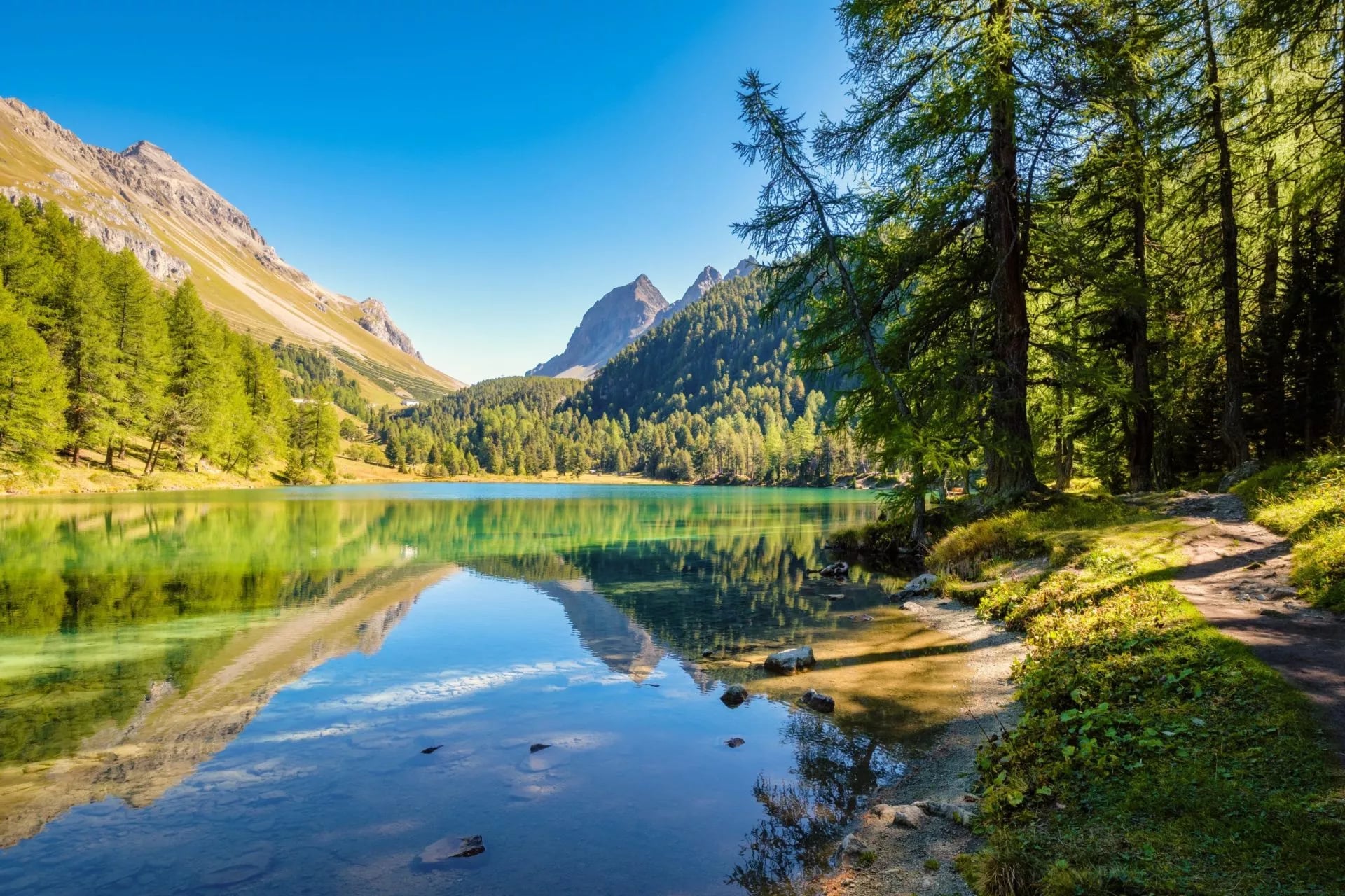
Do not treat the lake as a photo stop and walk on. It sits in a bowl of larch that turns the water an improbable blue-green against gold for about three weeks in October, and the loop around the shore takes twenty minutes. It is the single most photographed thing on the route, and for once the reputation is earned.
The Albula Pass road you meet here has a second life worth knowing about. It closes for the winter, and the six kilometres from Preda down to Bergün then become Europe's longest floodlit toboggan run, with the railway shuttling sledgers back uphill every half hour until late in the evening.
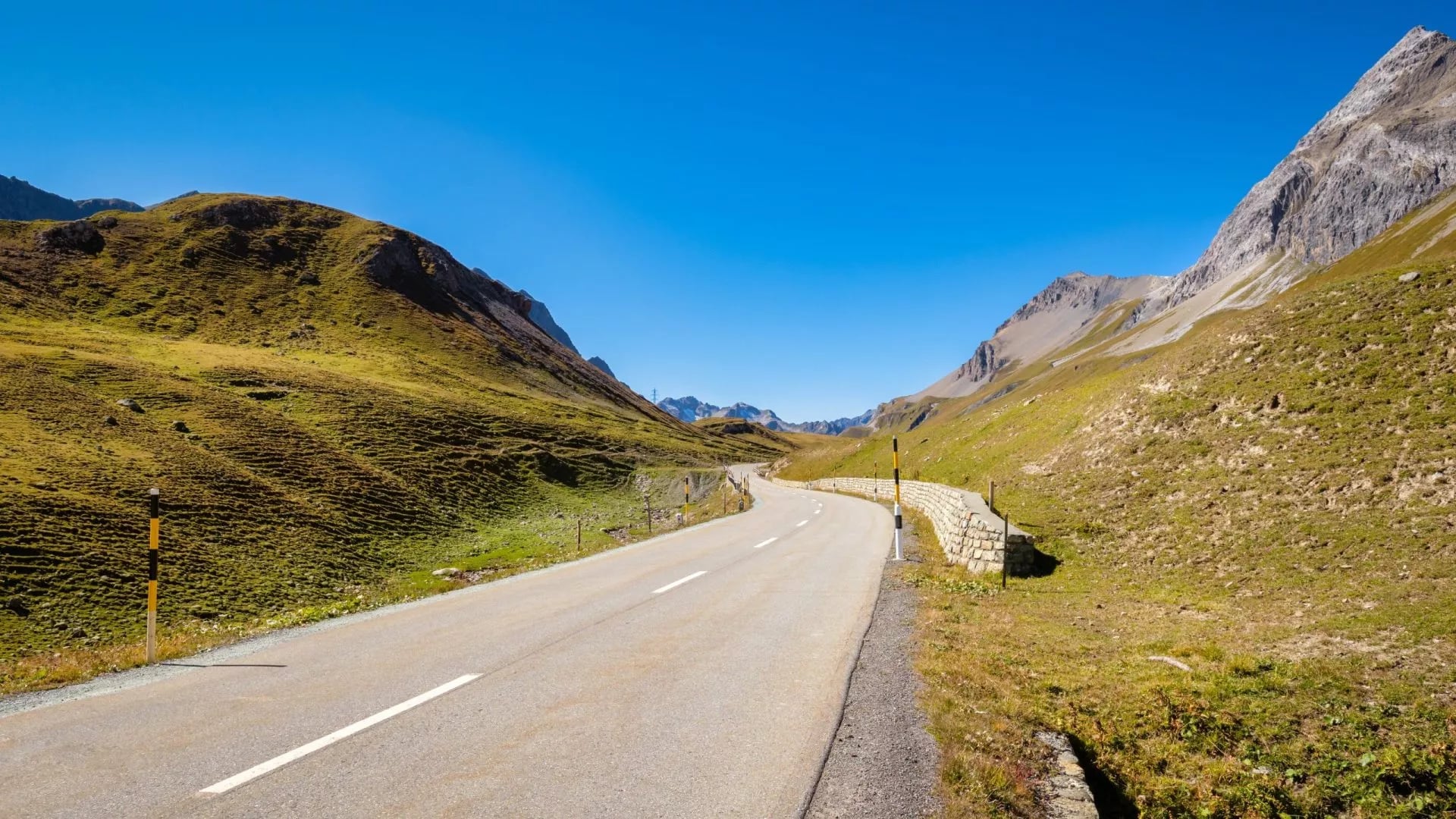
From Preda a train runs down to Bergün in minutes. Walking it instead adds a couple of hours and about 400 metres of descent, but most people take the train and spend the afternoon in the village. The walk out is the least interesting ground on the trek, which is an unusual thing for a trail guide to admit.
Why Hike the Kesch Trek
Switzerland has louder treks. The Haute Route and the Tour du Mont Blanc both fill their huts months out and both ask for two weeks of your life. This one asks for four days, and you can still book it in June for August.
The trade is not scenery. You circle Piz Kesch, which at 3,418 metres is the highest peak in the Albula Alps, sleep three nights above 2,500 metres and cross a saddle at nearly 2,870 metres, all of it within a bus ride of Davos. What you give up is fame, not mountain.
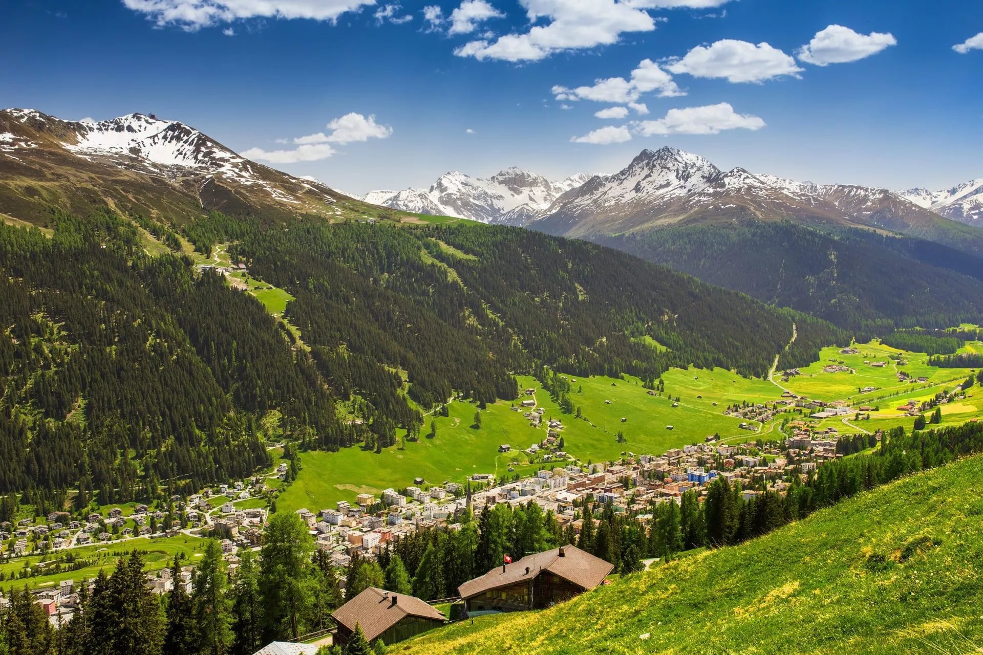
You give up nothing in comfort either. Every night is a staffed hut with a warden, a cooked dinner and blankets on the bed, so you carry clothes and a liner rather than a tent, a stove and four days of food.
Three things make it stand out from the other hut routes in the canton. The second stage crosses a medieval wine road that stopped being a trade artery in 1868. The fourth passes a lake that Swiss television viewers once voted the most beautiful place in the country. And the whole thing ends at a station on a UNESCO World Heritage railway.
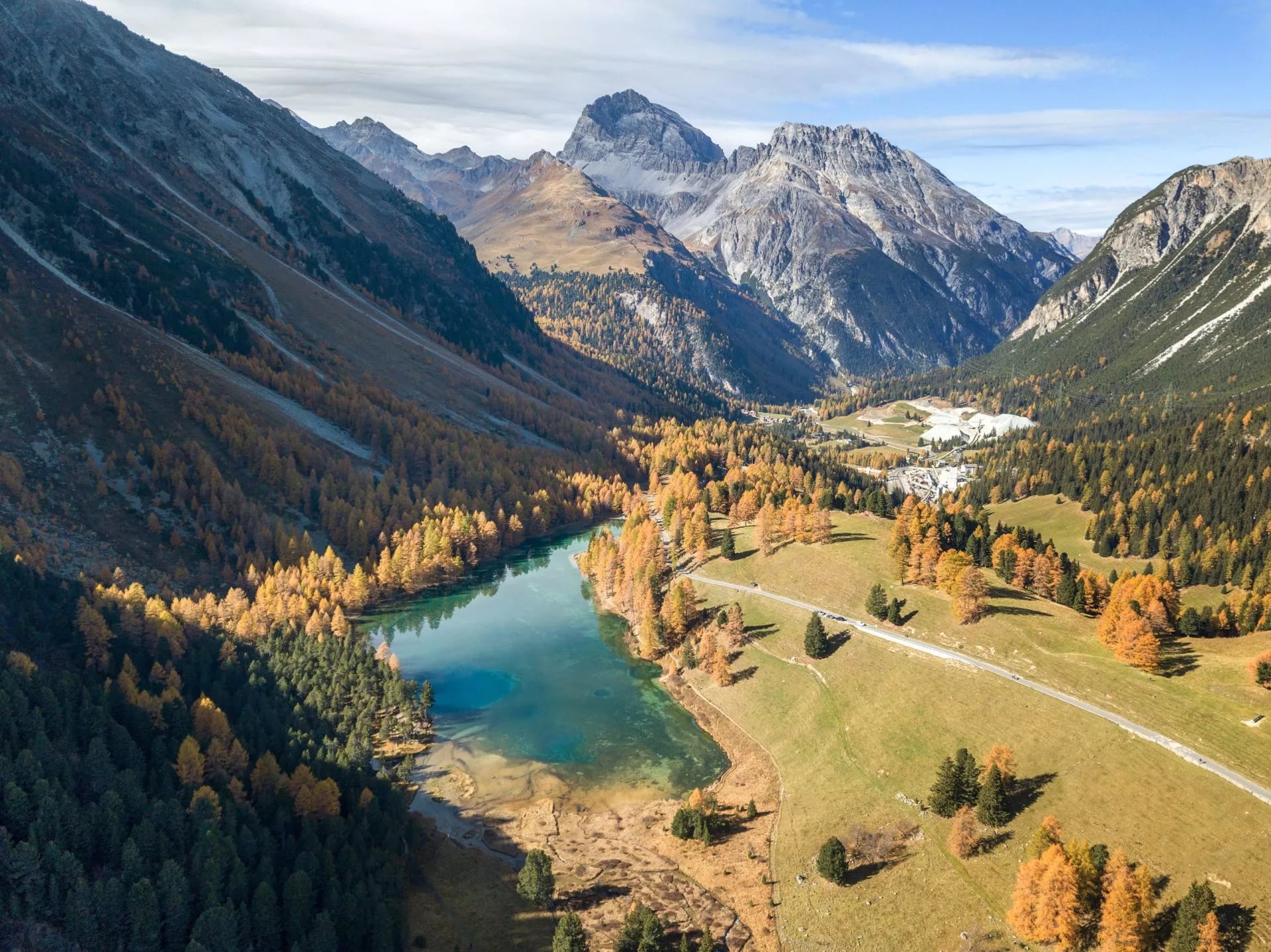
Add the fact that the route sits inside the largest nature park in Switzerland, with ibex on the skyline and bearded vultures overhead, and the case makes itself. This is the most interesting four days of walking in Graubünden that does not require a rope.
One more practical argument. Because the whole thing runs between two road passes served by public transport, you can bail out on any day without a rescue or a taxi, which is not true of most alpine hut circuits.
What the Kesch Trek Is
The route runs south from the Flüela Pass road, over the watershed into the Engadine side of the range, then west to the Albula Pass and down to Bergün. Every night is spent in a staffed hut at around 2,600 metres.
Piz Kesch carries the small Vadret da Porchabella glacier on its northern side, and a footpath from the Kesch hut runs up to look at it. The trek itself never touches ice. The summit was first climbed in September 1846 by a party including Johann Coaz, the surveyor who later put the first names on much of the Graubünden map.
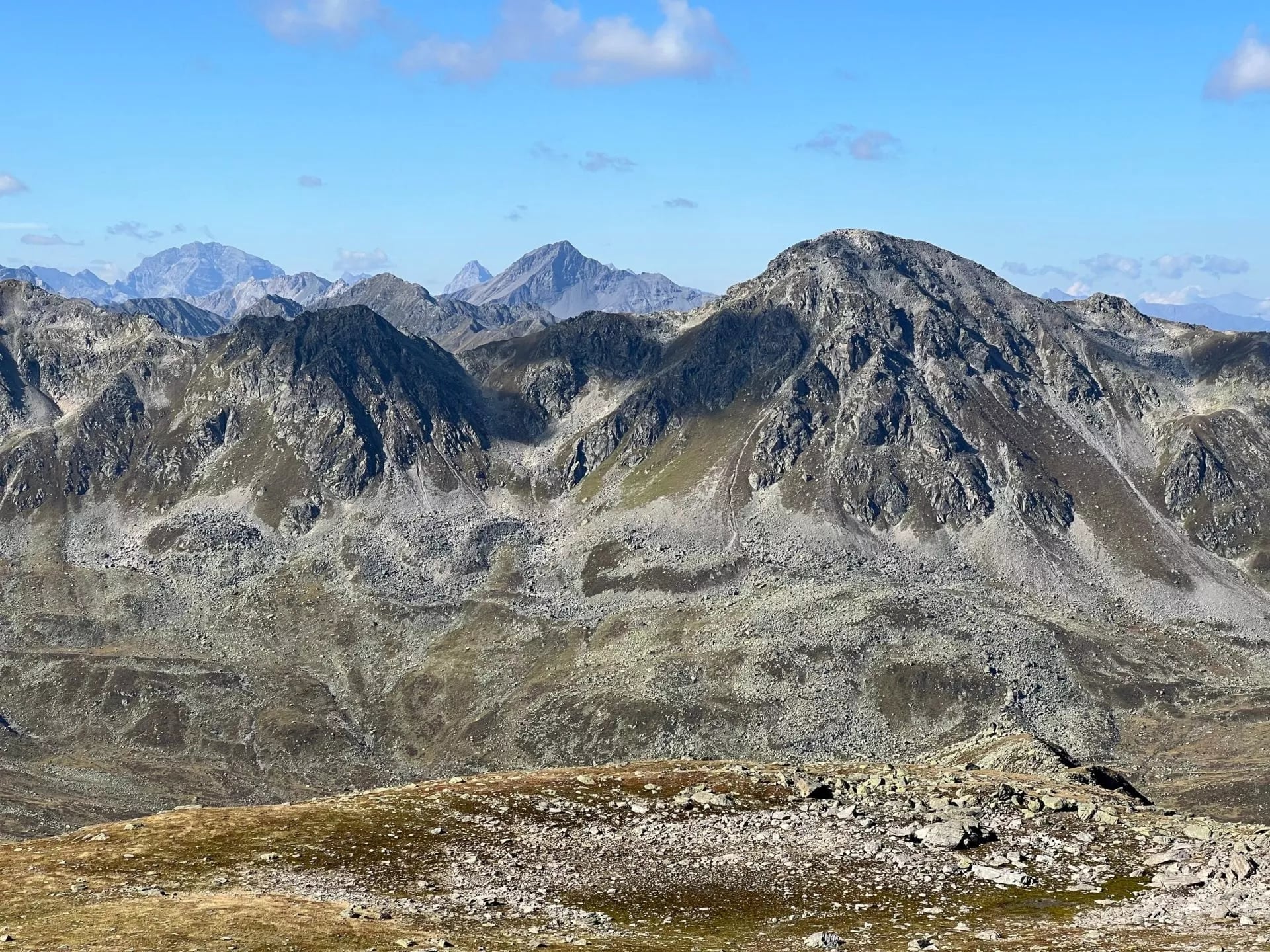
Graubünden Tourism publishes the official route as 52.9 kilometres with 2,168 metres of ascent and 2,977 metres of descent, about 18 hours and 20 minutes of walking, finishing in Bergün. Finish one valley higher at Preda and the local tourist office measures it at 47.7 kilometres and 16 hours 25 minutes.
The gap between those two figures is the walk down the Albula valley, which most people replace with a train. Both sets of numbers are accurate recordings of slightly different lines, which is why no single distance is definitive here. Take the shape of the route seriously and the exact kilometre count lightly.
Almost all of it sits inside Parc Ela, which covers around 550 square kilometres across the valleys of the Albula region and is the largest nature park in the country. For scale, that is more than three times the size of the Swiss National Park, and none of it is fenced or ticketed.
The high point of the whole trek is about 2,870 metres at Fuorcla Pischa, on the third stage. Nothing else on the route goes above 2,700, so the trek has one properly high day and three that are merely long. Plan your contingency around that one saddle rather than the week.
How Hard Is the Kesch Trek?
Nothing on the route is technical. There is no via ferrata and no glacier travel, no fixed ropes, and no section where a fall would be unsurvivable if you keep to the path. That is unusual for a Swiss high route, and it is the trek's main selling point.
What it does ask for is four consecutive days at altitude with a pack, on ground that is stony rather than smooth. Two stages run five and a half hours each, and the middle two both finish over a pass. Our own grading puts it at fitness three of five and technical three of five.
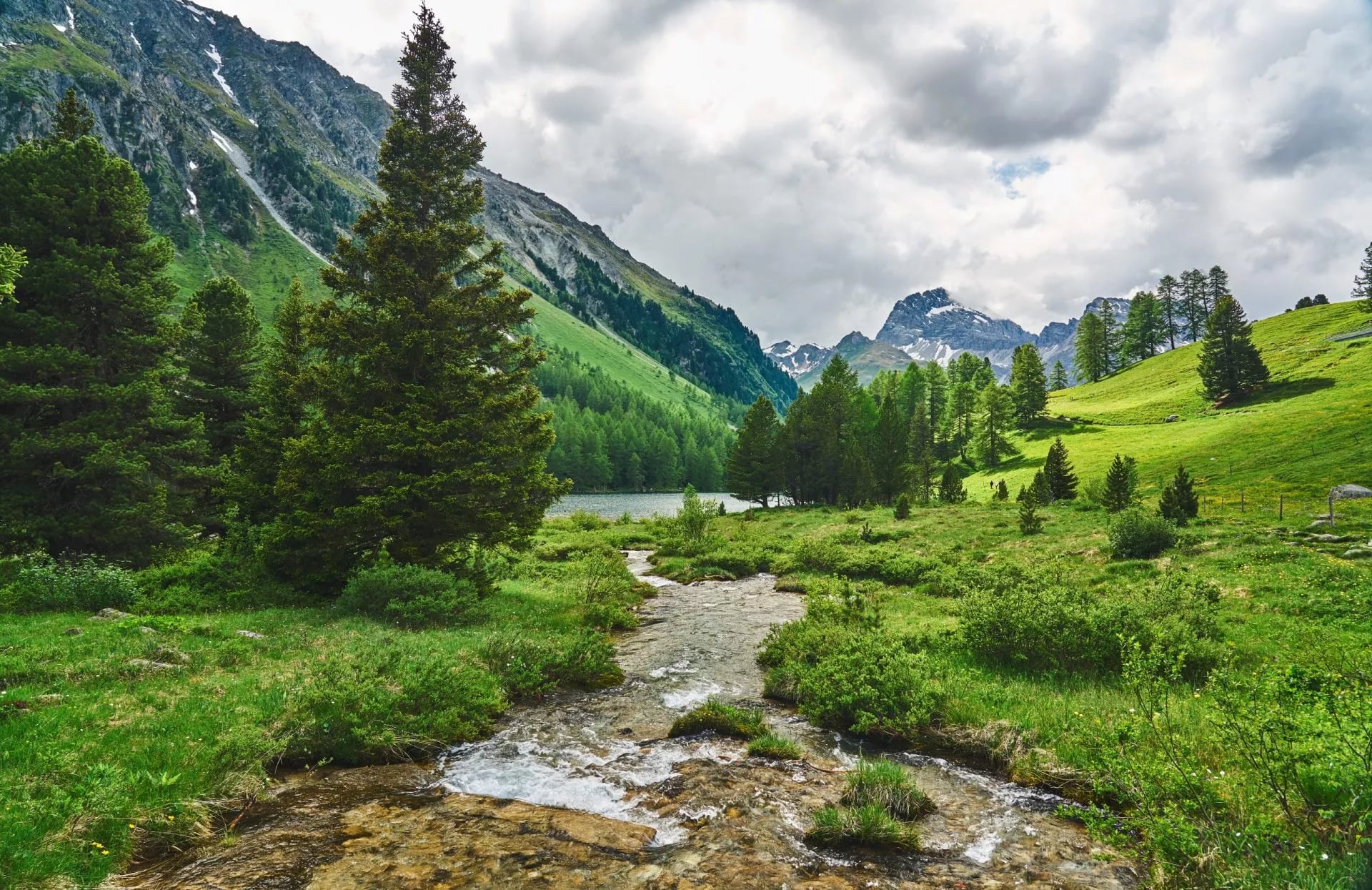
For hiking in Switzerland as a beginner this is close to the ideal first trek, with one caveat. The walking is within reach of anyone who does regular hill days at home, but the third stage is the test, and nobody should meet Fuorcla Pischa having never walked two long days back to back.
Altitude is the other quiet factor. Sleeping at around 2,600 metres for three nights affects some people more than the walking does, which is the argument for the short first stage rather than a rushed start from the valley floor.
The limit is weather, not gradient. Above 2,800 metres a summer thunderstorm turns the Fuorcla Pischa crossing into a seriously dangerous hour, and there is nowhere at all to wait it out. Read mountain safety 101 before you go.
Best Time to Hike the Kesch Trek
The walking season is short. The huts run from around mid-June to mid-October, and the practical window is July to September, with snow lying on the passes at either end of that. Our Swiss hiking seasons guide sets it against the rest of the country.
July and August give the warmest huts and the most reliable passes, and they are also when the dormitories actually fill. September is the connoisseur's month on the Albula side: harder light, cold mornings, larch beginning to turn and beds you can still get at short notice.
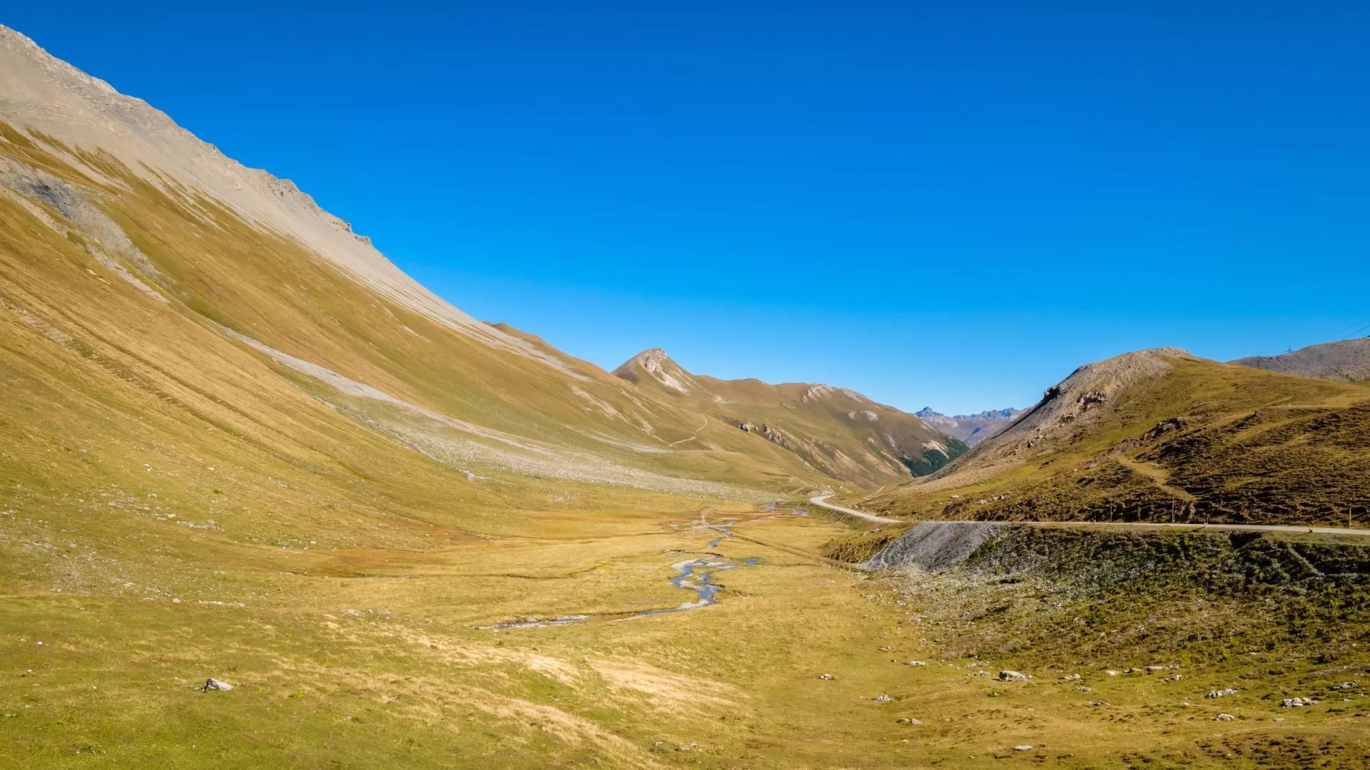
Then there is the part the other guides leave out. The Swiss army runs live firing exercises in the area around S-chanf every October and November and again in April and May, and the ground between S-chanf and Dürrboden in the Scaletta and Grialetsch area is closed while they do. It is a danger-to-life closure, not a suggestion.
The dates move year to year, so check the army's shooting range bulletin before you book. In practice the closure removes the early season and clips the autumn.
For weather on the day, MeteoSwiss is the national service and publishes a dedicated mountain forecast. General timing for the range is covered in our guide to the best time to hike in the Alps.
The Three Huts and How to Book
All three are Swiss Alpine Club huts, which means dormitories, half board, blankets and a warden. They are not hotels and not bothies, and our Switzerland hiking accommodation guide explains where they sit between the two.
Chamanna da Grialetsch, 2,542 m. 58 places plus a 10-person emergency shelter. Open roughly mid-June to mid-October, and again mid-February to mid-April for ski tourers.
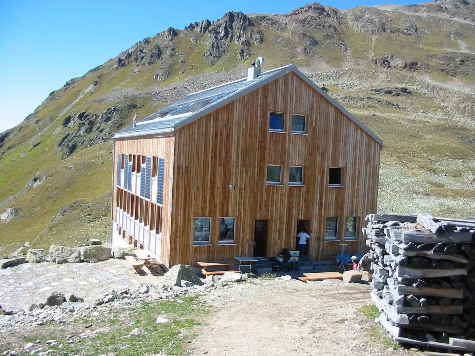
Chamanna digl Kesch, 2,625 m. The largest at 92 places in rooms of five to twelve, sitting inside Parc Ela below the mountain itself.
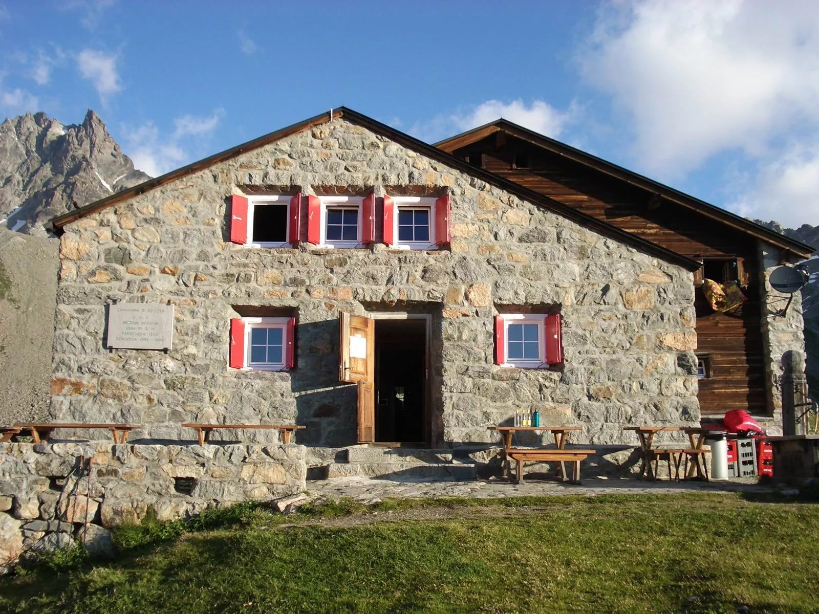
Chamanna d'Es-cha, 2,594 m. 43 places in rooms of two to ten, with a small annex adding ten more in summer. Open mid-June to mid-October, and late February to mid-April in winter.
The three vary more than the bare numbers suggest. Grialetsch is the smallest and the most old-fashioned, and it is where you are most likely to end up talking to the warden. Kesch is the busiest of them, because climbers use it as a base for the peak and the Haute Route Graubünden passes through the same door.
Es-cha is the sociable one, with terrace benches that catch the afternoon sun and a steady traffic of Engadine day walkers coming up from below. Arriving there on stage three, the terrace is the reward for the hardest morning of the week.
Book early. Ninety-two places sounds generous until a weekend in August, and a full hut has nowhere to send you, because the next one is a pass away and the valley is three hours down.
Wildlife in Parc Ela
Parc Ela is not a fenced reserve, it is working alpine country, and the wildlife is present rather than theoretical. The park counts around 450 ibex and 2,000 chamois in its summit regions, and the trek spends four days in exactly that band of ground. Nothing up here is managed for visitors, which is why a sighting feels earned rather than arranged.
Ibex are the animals worth getting up early for. They hold the high rocky ground near the passes, they are least shy in the first hour of daylight, and they are almost indifferent to walkers who keep moving and do not point at them. That last part matters far more than a long lens does.
The stretch above the Grialetsch hut and the rocky ground either side of Fuorcla Pischa are the two best places to look. Both are steep and broken, which is exactly the terrain the animals want, and both sit on your route anyway, so no detour is involved. Scan the skyline rather than the path.
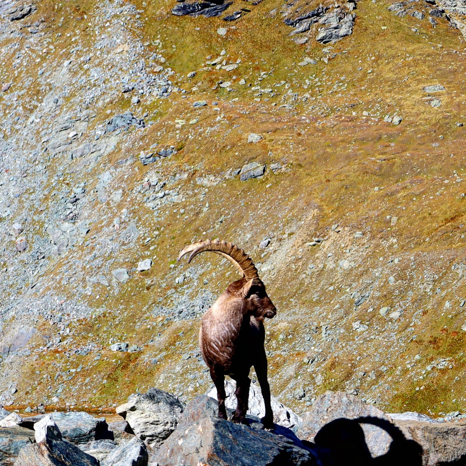
Telling ibex from chamois takes one glance once you know what to look at. Ibex are heavy and grey-brown, and carry thick ridged horns that sweep back in a long arc. Chamois are smaller and slighter, with short hooked horns like a coat peg, and they run where an ibex would simply stand and watch you.
Look up as well as across. Golden eagles are resident here, and so are bearded vultures, which is a better story than it first sounds: the last wild one was shot in 1886, and every bird now overhead descends from a reintroduction that only began in the late 1980s.
Lower down, the marmots are the ones you will actually notice. They whistle at you from every moraine slope on the first stage, a single flat note that carries a surprising distance, and the whistle is the only warning you get before they drop into a burrow.
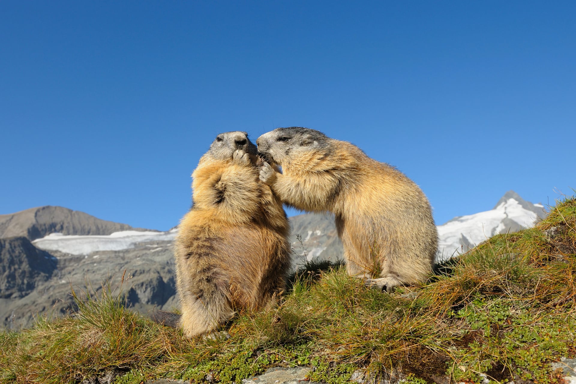
Mountain hare and snow vole live up here too, though you will hear far more than you see of anything smaller than a chamois. Late summer is the best window for marmots, when the young are above ground and the adults are feeding hard before a hibernation that runs for roughly half the year.
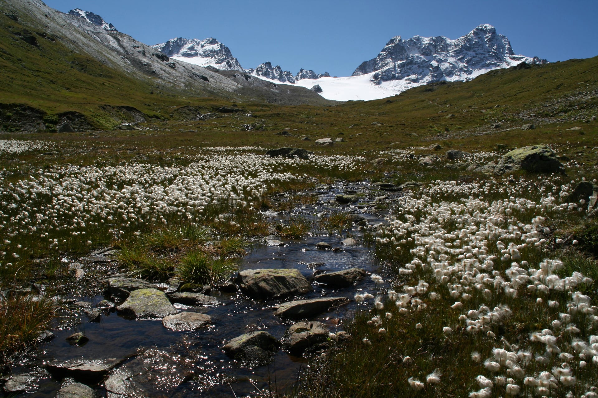
The plant life changes fast with height, which is part of the pleasure of a route that descends more than it climbs. You start among rock and cushion plants, cross cotton grass and alpine bog on the high traverses, and drop into banks of pink alpenrose on the way down.
Below that come the larch woods, and they are the reason people walk this route in the first week of October rather than in August. Larch is deciduous, unusually for a conifer, so the whole valley turns gold and holds the colour for about three weeks before the needles drop.
That window collides with the firing season, which is the one scheduling irony of this route. Early October can hand you the best light of the whole trek or a closed corridor below the Scaletta Pass, and only the shooting bulletin knows which. Book the huts for late September and the problem mostly disappears.
Two Languages in Four Days
This is the detail that makes the trek feel like a journey rather than a loop. You start in Davos, which sits at 1,560 metres and is the highest town in Europe, and which speaks German because Walser colonists were invited into the valley from around 1280.
Four days later you walk into Bergün, and the language has changed. The village has been officially Bergün slash Bravuogn since 1943, because it speaks Romansh, and it sits in a valley that has been Romansh speaking for as long as anyone has kept records.
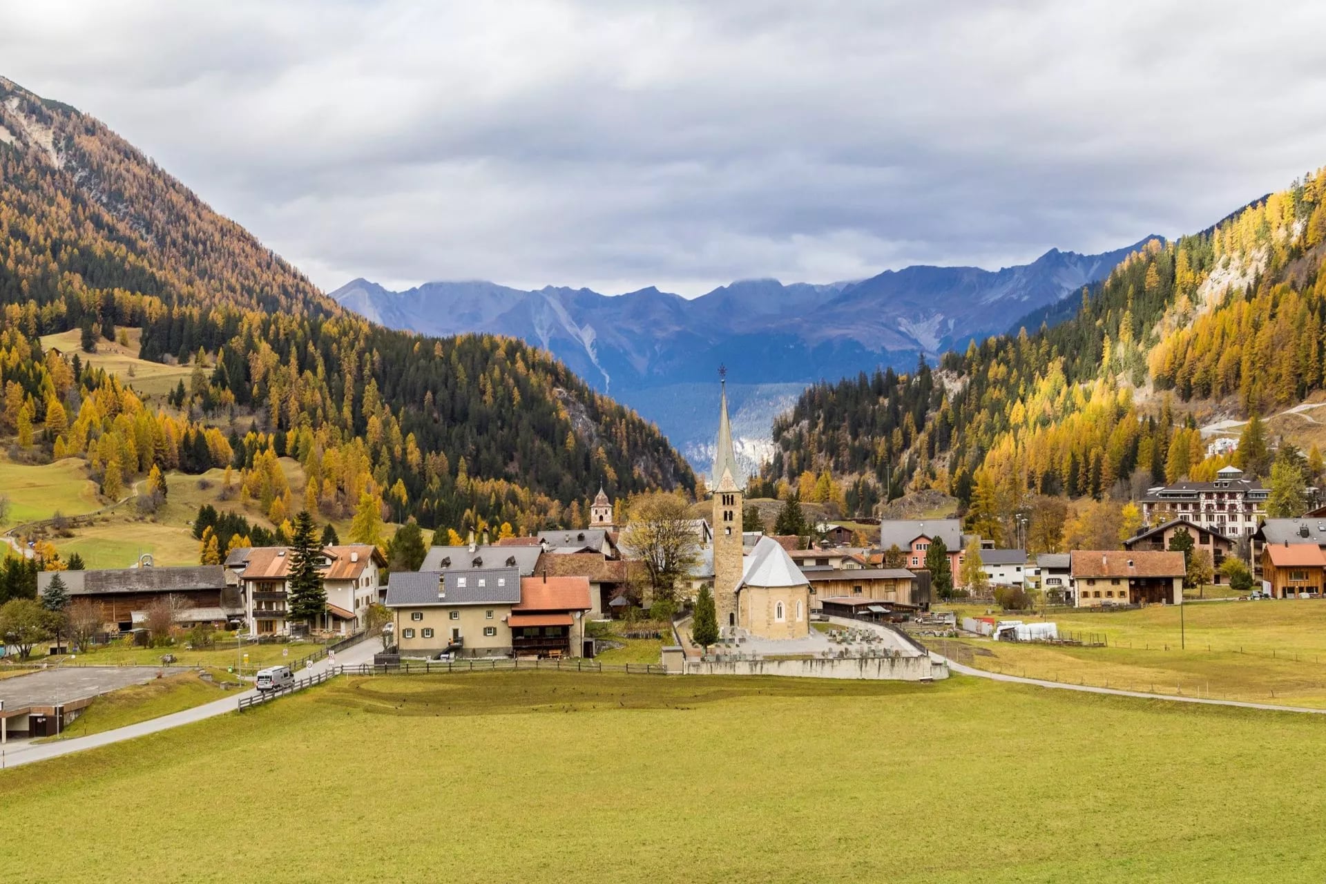
The architecture tells you the same thing before anyone opens their mouth. Bergün is a street village, which means the houses stand shoulder to shoulder along a single road rather than scattering across the slope, and the effect is almost urban in a valley of 500 people.
Look at the walls. The render carries sgraffito, a technique of scratching a dark undercoat through a white top layer to leave patterns, dates and family names, and the windows sit in deep oriel bays in the Engadine style. The Romanesque church tower is thought to go back to 1188, which makes it older than the Swiss Confederation.
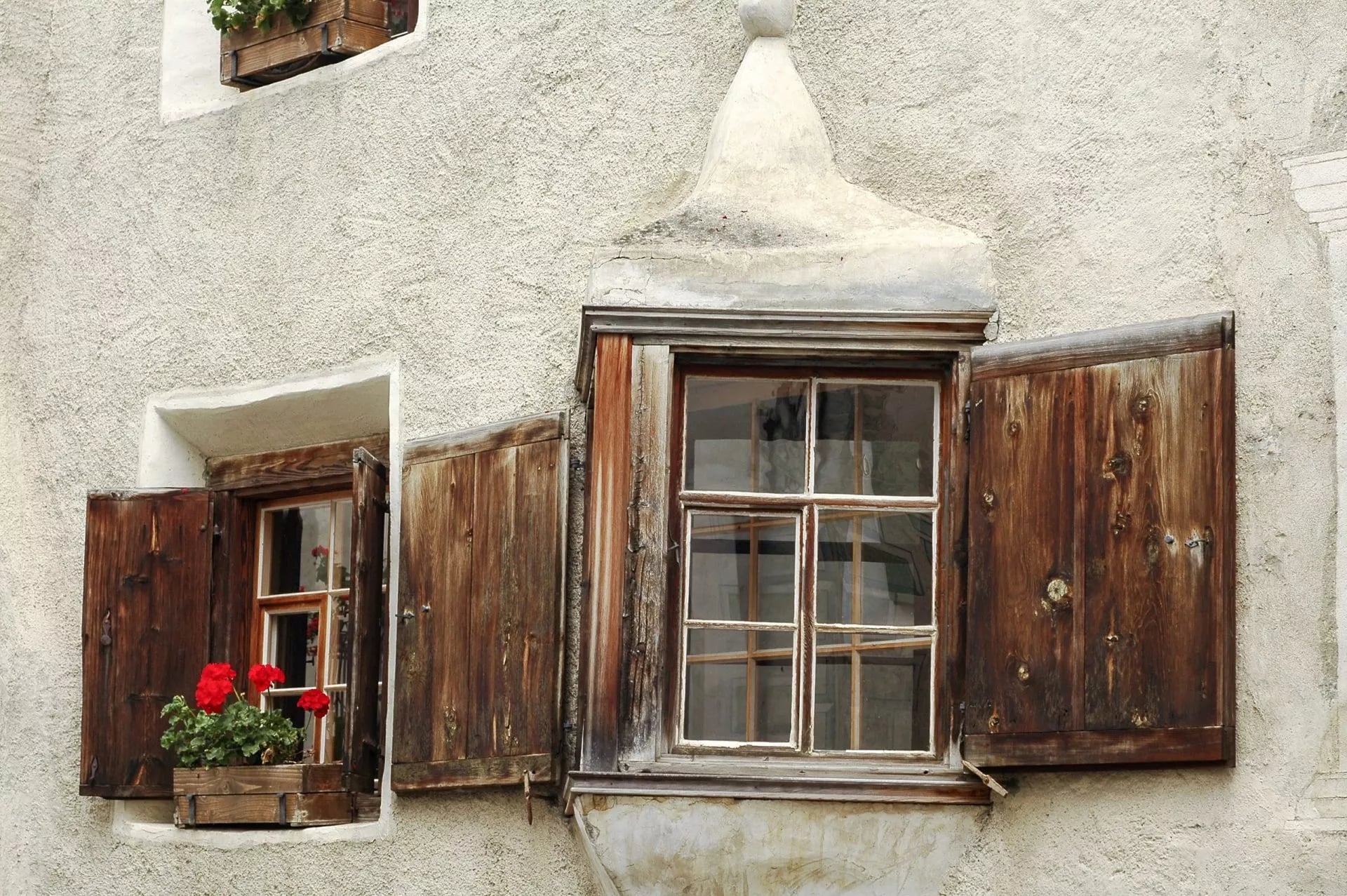
So the trek crosses a language border that has held for seven centuries, on foot, in four days. The huts in between carry Romansh names, which is why the Kesch hut is also written Chamanna digl Kesch, and why Es-cha and Grialetsch look nothing like German on a signpost.
It is worth listening for. Romansh is Switzerland's smallest national language, spoken daily by roughly 40,000 people, so hearing it in a shop in Bergün is not a tourist performance. It is simply the ordinary language of the valley you have just walked into.
Getting to the Kesch Trek
Davos is the arrival town, reached by train from Zurich via Landquart or Chur on the Rhaetian Railway. From Davos a postbus climbs the Flüela Pass road to the Chants-ura stop at the trailhead.
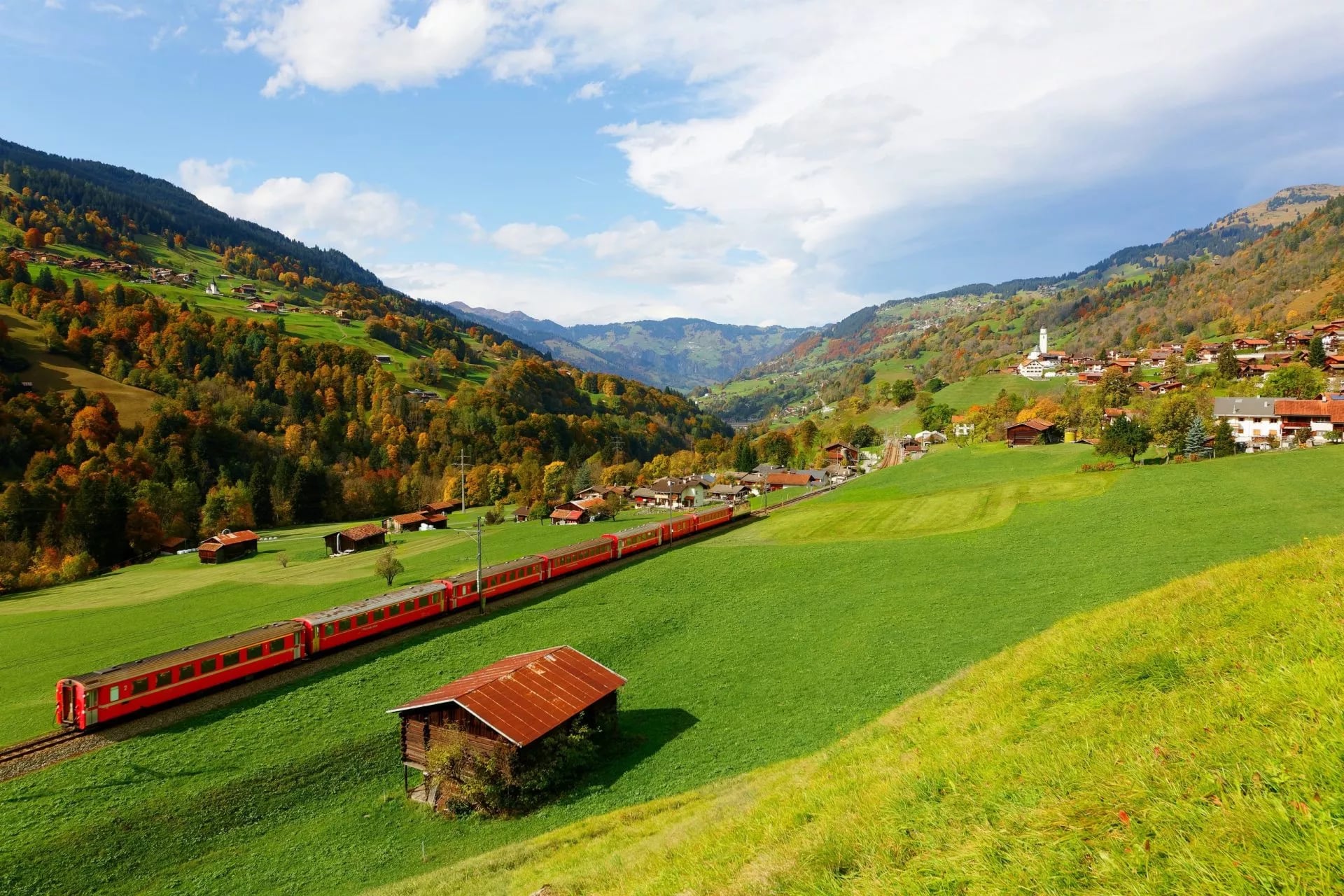
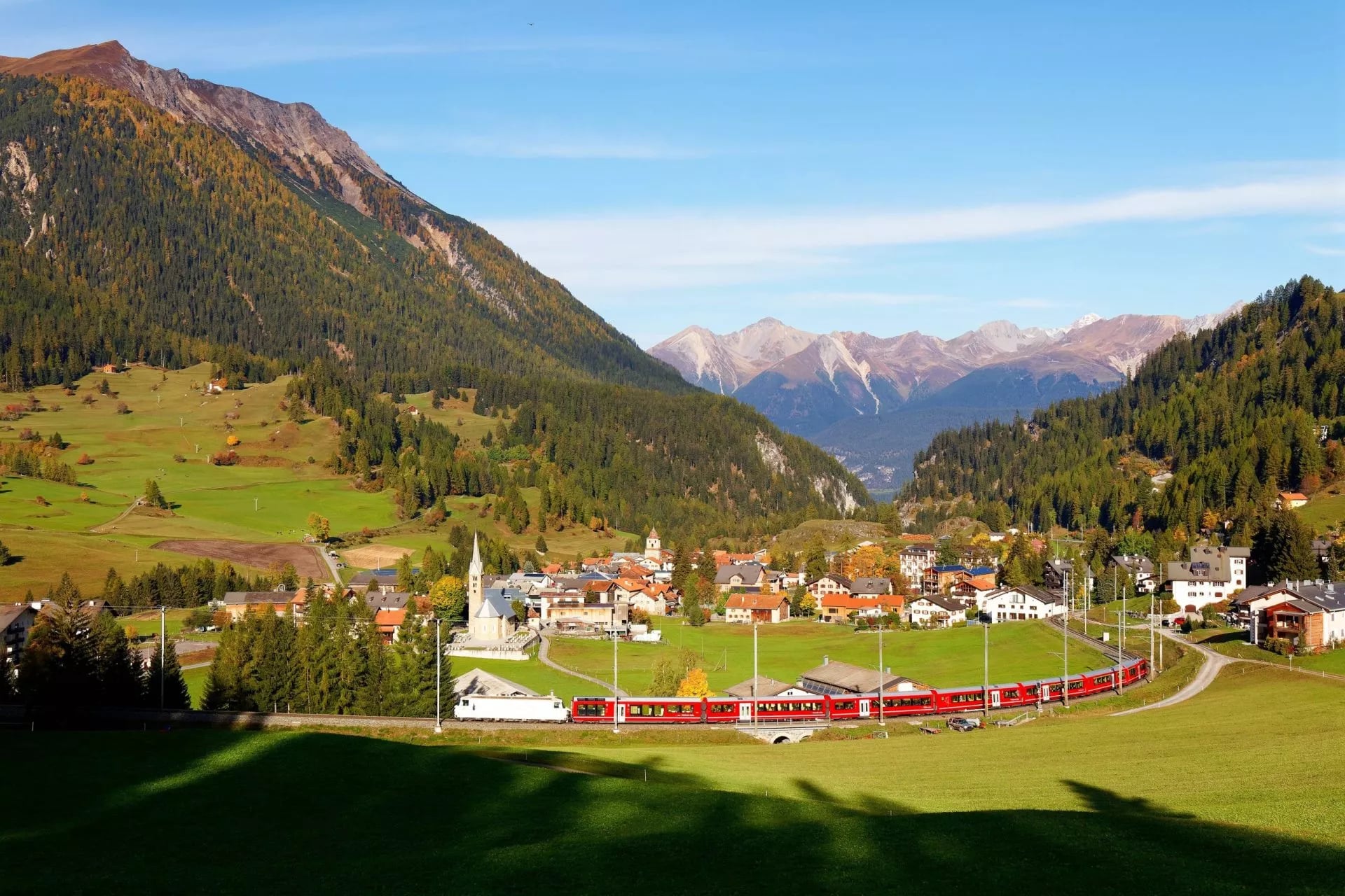
Davos hiking in general starts at a bus stop rather than in the town, and this route is no exception. The exit is the better half of the story. Bergün sits on the Albula line, which UNESCO inscribed as World Heritage in 2008, and the stretch up to Preda climbs more than 400 metres in five kilometres of spiralling tunnels and viaducts.
The railway keeps its own account of the listing, and there is a museum beside Bergün station devoted to how the line was built. Trains run down the valley towards Chur and Zurich and up the other way to St Moritz, so neither end needs a hire car. The rest of our Swiss walking sits on the Switzerland destination page.
Our Kesch Trek Tour
Our Kesch Trek is self-guided, with a digital guidebook, GPS navigation and support while you walk.
Kesch Trek
Distance: about 6 to 21 km a day
Ascent: about 80 to 970 m a day
Sleeping: three nights in mountain huts with half board, two hotel nights with breakfast
Season: July to September
Grade: fitness 3, technical 3
Six days covers the four walking stages with an arrival night in Davos and a departure morning in Bergün, which is the right shape for anyone flying in. Day two takes the pass road up to Flüela and walks in to the Grialetsch hut, day three crosses the Scaletta Pass to the Kesch hut, and day four is the Fuorcla Pischa crossing to Es-cha.
Day five drops past Lai da Palpuogna and Preda into Bergün, with a hotel night at either end of the walking. The huts are booked for you, which removes the one fiddly part of doing this route alone, and the tourist tax is the only thing left to settle locally.
Know Before You Arrive
This is the section to read the week before you fly.
Payment. Carry Swiss francs. Huts at this altitude depend on a mobile signal for card readers, and cash is the reliable option for drinks, lunches and the tourist tax.
Water. Streams on the route are glacial and silty rather than clean, so fill up at the huts, which is the normal Swiss practice. Two litres covers the longest stage in warm weather.
Maps and navigation. The route follows waymarked mountain trails, so signage is good, but cloud on Fuorcla Pischa hides the next post. Carry the national 1:50,000 sheet or an offline GPS track, not only a phone map that needs signal.
Rescue and insurance. Alpine rescue in Switzerland is charged to the person rescued, and helicopter costs are not small. Check that your policy covers mountain rescue before you leave home.
Leaving. Trains from Bergün run down the Albula valley to Chur and Zurich, and up the other way to St Moritz, so the trek needs no car at either end.
Sleeping kit. Swiss Alpine Club huts supply blankets and pillows but not bedding, so a sleeping bag liner is compulsory, along with indoor shoes. Our Switzerland packing guide has the full list.
Poles and boots. Ankle-supporting boots rather than trail shoes, and poles for the descent off Fuorcla Pischa, which loses height fast on loose ground.
Language. The Engadine villages are Romansh speaking, Davos is German speaking, and English is widely understood in both. Hut menus are often German only, so learn what Gerstensuppe is before you order it.
Reservations. Book the huts before you book flights. Availability, not weather, is the thing most likely to move your dates.
Frequently Asked Questions
Choosing Your Kesch Trip
It is the trek to choose when two weeks is impossible, when the famous routes are already full, or when you want an alpine crossing you can actually book this season. Four days is enough to feel like you crossed something, which is more than most short treks manage.
Still weighing it up? Get in touch with our team and we will shape the week around your dates →

About this author
Jon is our travel advisor and an outdoor adventurer who is happiest on the move. While mountain biking is his personal passion, he thrives on crafting hiking adventures for others — planning routes and adding the little touches that turn a trip into a core memory.













































.jpg&w=828&q=75)





















