The Fishermen's Trail: A Guide to Portugal's Famous Coast Walk
How, when and why to walk the beloved thirteen stages of this multi-day trail between fishing villages in Portugal.

Jon
Published September 26, 2026
Edited September 26, 2026
11 min read
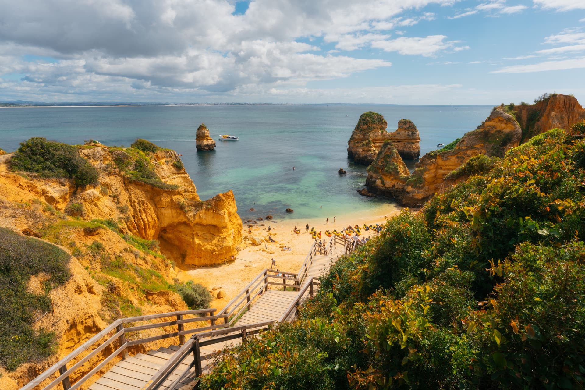
On Portugal's southwest coast, cliff-top paths run for over 200 km above the Atlantic — the surf loud enough to drown out conversation, small coves and beaches opening every few hundred metres. That's the Fishermen's Trail: 226.5 km in 13 stages, from São Torpes near Sines down to Lagos in the Algarve.
It's not a wilderness route — stages end in fishing villages where you sleep and eat, and the whole trail is well waymarked in green and blue. But the walking itself is harder than the distances suggest, because most of the surface underfoot is soft coastal sand. When you walk it matters more than which map you use.
Quick facts:
Where: Portugal's southwest — the Alentejo coast down through the northern Algarve.
What: 226.5 km in 13 stages, part of the wider Rota Vicentina network.
How difficult: the official rating is “somewhat difficult,” mostly because 60 to 70 percent of the trail is soft sand.
When: March–May and October are the sweet spots, with late September close behind. Avoid July and August on the coast.
The map
What Is the Fishermen's Trail?
The Fishermen's Trail is one of two long-distance trails in the Rota Vicentina network on Portugal's southwest coast. The parallel Historical Way runs inland through cork oak country; the Fishermen's Trail stays on the cliff edge for its full length, following paths originally worn by local fishermen reaching isolated coves and fishing grounds.
The current official trail covers 226.5 km in 13 stages, from São Torpes near Sines down to Lagos in the Algarve. Cabo de São Vicente — the south-westernmost point of continental Europe — sits at roughly Stage 10, and many walkers still treat the cape as a natural finish for the coastal experience, even though the trail now continues east from there for another three stages along the southern Algarve.
If you're weighing this trail against the Historical Way or looking at the wider network, our Rota Vicentina guide compares both trails side by side. This post focuses on the Fishermen's Trail alone — the stages, the sand, the rules, and how to walk it end to end or in a shorter week.
The Route
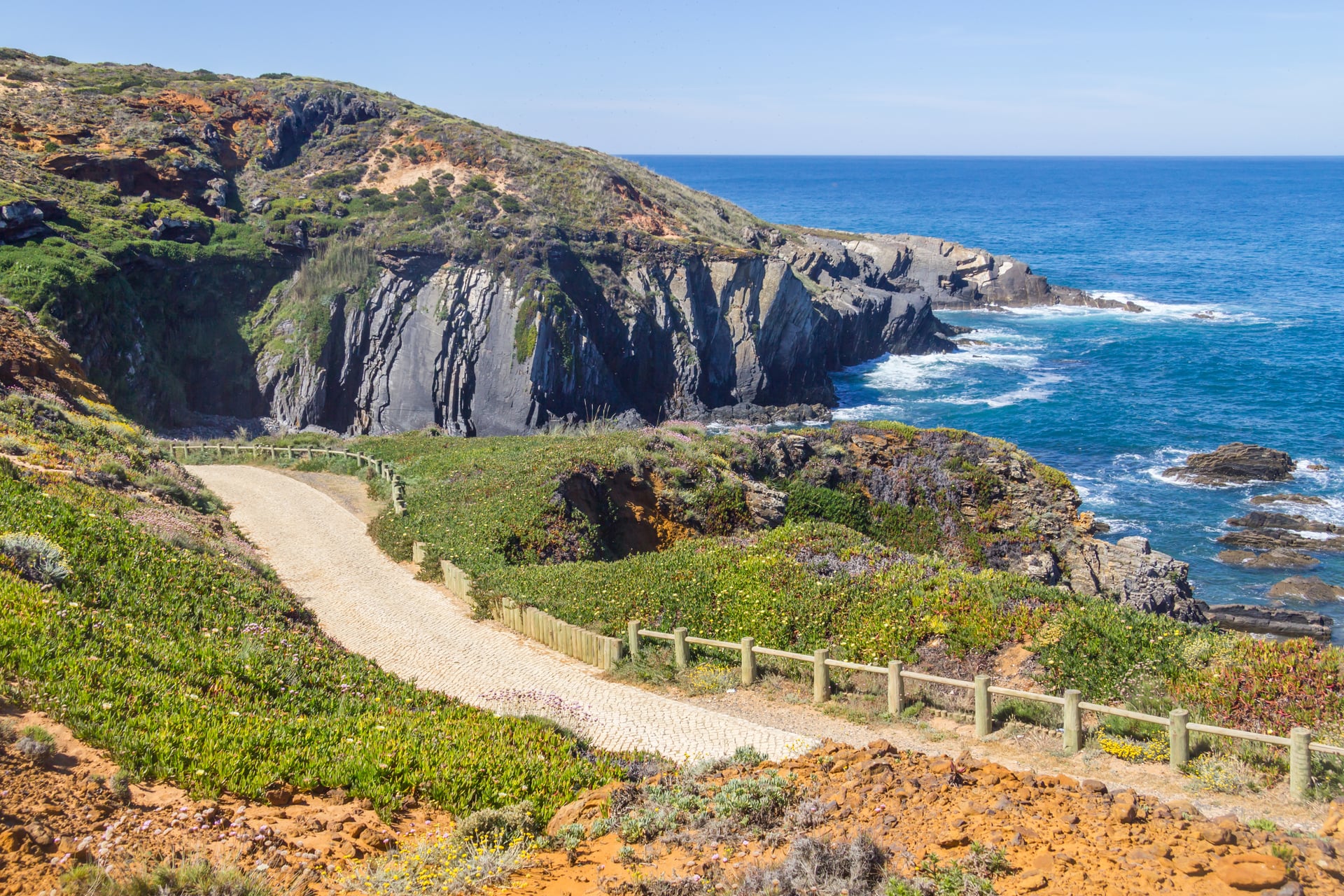
The trail encompasses 13 one-day stages, walkable in either direction, and connected end-to-end by the same green-and-blue waymarking system as the rest of the Rota Vicentina network. Stage lengths run from about 10 km to the official maximum of 22.5 km, with most days falling between 15 and 20 km.
Stage | Route | Length | Approx. time |
|---|---|---|---|
1 | São Torpes → Porto Covo | 10.2 km | 2 h 35 min |
2 | Porto Covo → Vila Nova de Milfontes | 19.6 km | 5 h 15 min |
3 | Vila Nova de Milfontes → Almograve | 14.6 km | 3 h 45 min |
4 | Almograve → Zambujeira do Mar | 21.5 km | 5 h 50 min |
5 | Zambujeira do Mar → Odeceixe | 18.7 km | 5 h 40 min |
6 | Odeceixe → Aljezur | 22.6 km | 5 h 50 min |
7 | Aljezur → Arrifana | 17.1 km | 4 h 45 min |
8 | Arrifana → Carrapateira | 19.4 km | 5 h 10 min |
9 | Carrapateira → Vila do Bispo | 15.3 km | 4 h 20 min |
10 | Vila do Bispo → Sagres | 20.2 km | 5 h 20 min |
11 | Sagres → Salema | 19.6 km | 5 h 25 min |
12 | Salema → Luz | 11.5 km | 3 h 25 min |
13 | Luz → Lagos | 10.9 km | 3 h 25 min |
The northern half, from Porto Covo down to Odeceixe, is where the cliffs are highest and the sand-to-firm-ground ratio is most forgiving. It is the section most first-time walkers pick for a shorter week: four walking days across the best of the Alentejo, with arrival and departure days either side.
Walking the whole route takes closer to two weeks — thirteen walking days from São Torpes to Lagos, passing through the northern cliffs, the Cabo de São Vicente headland at roughly Stage 10, and the softer southern Algarve stages beyond. Below is the full itinerary this tour covers.
14-days itinerary
Here's what each day of the full trail involves, walked north to south from São Torpes to Lagos:
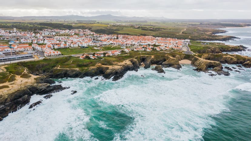
Day 1: São Torpes → Porto Covo. An easy first day on sand and cliff-top paths from São Torpes beach into the whitewashed streets of Porto Covo, with views across to Pessegueiro Island's fortress ruins.
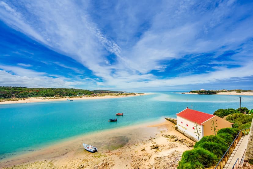
Day 2: Porto Covo → Vila Nova de Milfontes. A longer 20 km stage past hidden coves and untouched beaches, ending at the Mira estuary and the fort-topped town of Vila Nova de Milfontes.
Day 3: Vila Nova de Milfontes → Almograve. A short boat ride across the Mira starts the day, followed by rolling dunes and wildflowers on a 15 km stage into the small village of Almograve.
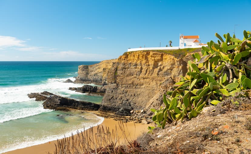
Day 4: Almograve → Zambujeira do Mar. A 22 km stage across farmland and clifftop paths, arriving in the seaside village of Zambujeira do Mar with some of the most dramatic cliff views on the trail.
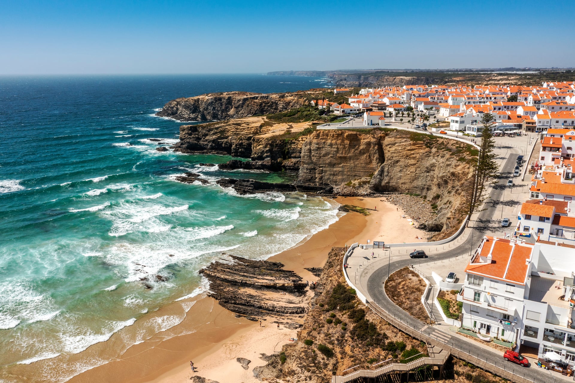
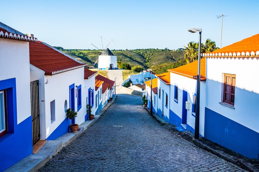
Day 5: Zambujeira do Mar → Odeceixe. Mixed terrain today — some climbing between hamlets and lush valleys before reaching Odeceixe, at the mouth of the Seixe River beneath a whitewashed windmill.
Day 6: Odeceixe → Aljezur. The trail leaves the coast briefly and heads inland through fields and rolling hills to the historic town of Aljezur, dominated by its medieval hilltop castle.
Day 7: Aljezur → Arrifana. A return to the coast on a stage winding through pine forests and green valleys before opening at the crescent beach and surf town of Arrifana.
Day 8: Arrifana → Carrapateira. A coastal day with the trail hugging the cliffs the whole way, ending in the maritime village of Carrapateira and its small fishing museum.
Day 9: Carrapateira → Vila do Bispo. An inland stage through the Algarve hills, past cork oaks and wildflowers, arriving at the quiet plateau town of Vila do Bispo.
Day 10: Vila do Bispo → Sagres. A day of coastal and inland paths leading to Cape St. Vincent — the cliff and lighthouse at Europe's south-western tip — before descending into Sagres.
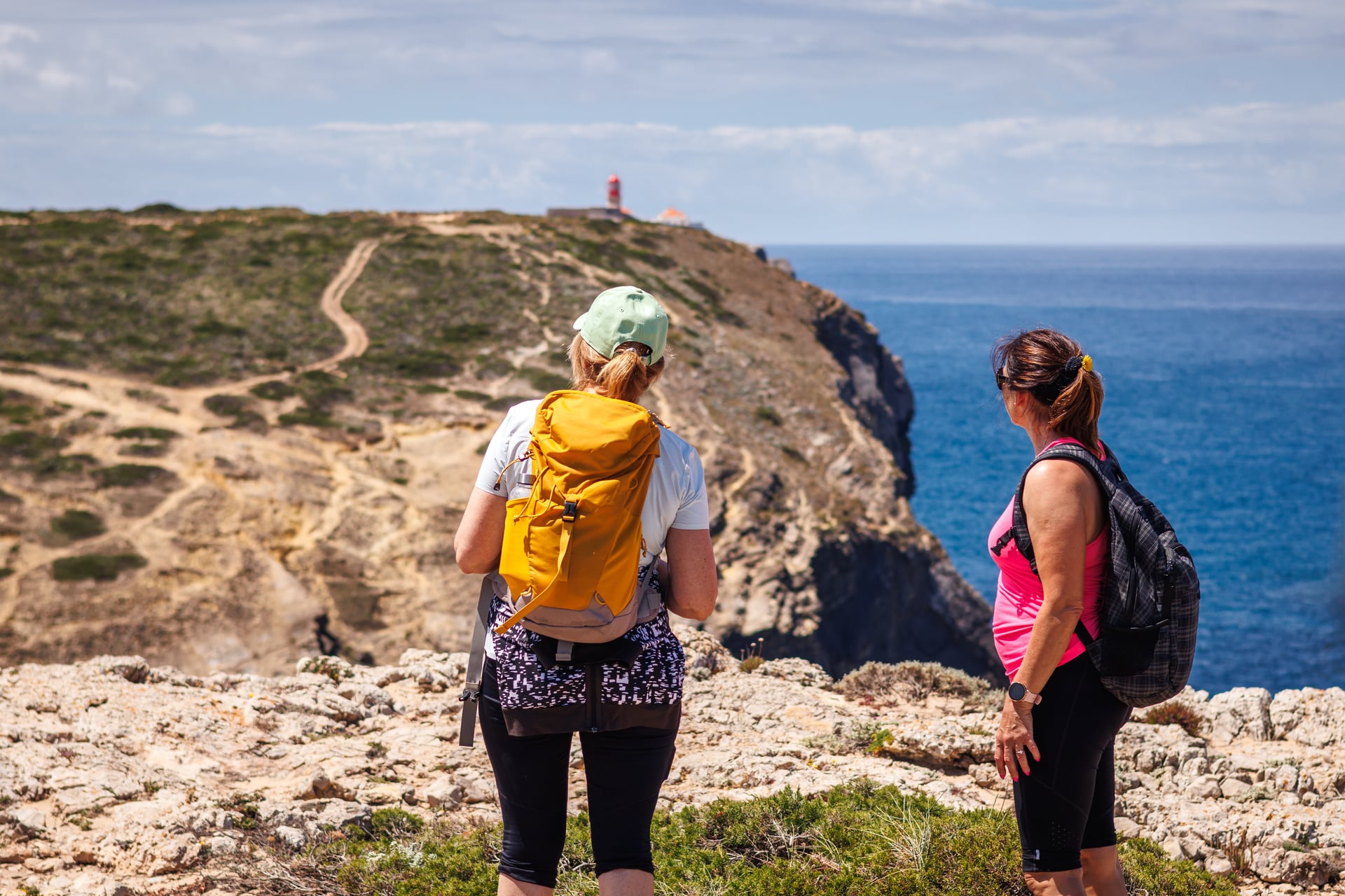
Day 11: Sagres → Salema. A challenging stage with steep climbs and descents past rugged headlands and quiet beaches, ending in the small fishing village of Salema.
Day 12: Salema → Luz. A shorter, more relaxed day along the coast, arriving at the picturesque village of Luz and its wide sandy beach.
Day 13: Luz → Lagos. A gentle final walk to Lagos, past secluded coves and rocky outcrops, arriving at the town and its famous Ponta da Piedade cliffs.
Day 14: Departure from Lagos. Breakfast in Lagos, then departure home.
When to Walk
The trail's usable season is roughly September through June — that's when the guesthouses are open, the buses run, and the trail markers are maintained. In July and August the trail is equally accessible, but the temperatures are high. Within that window, the best months by a clear margin are March through May and October.
March–May
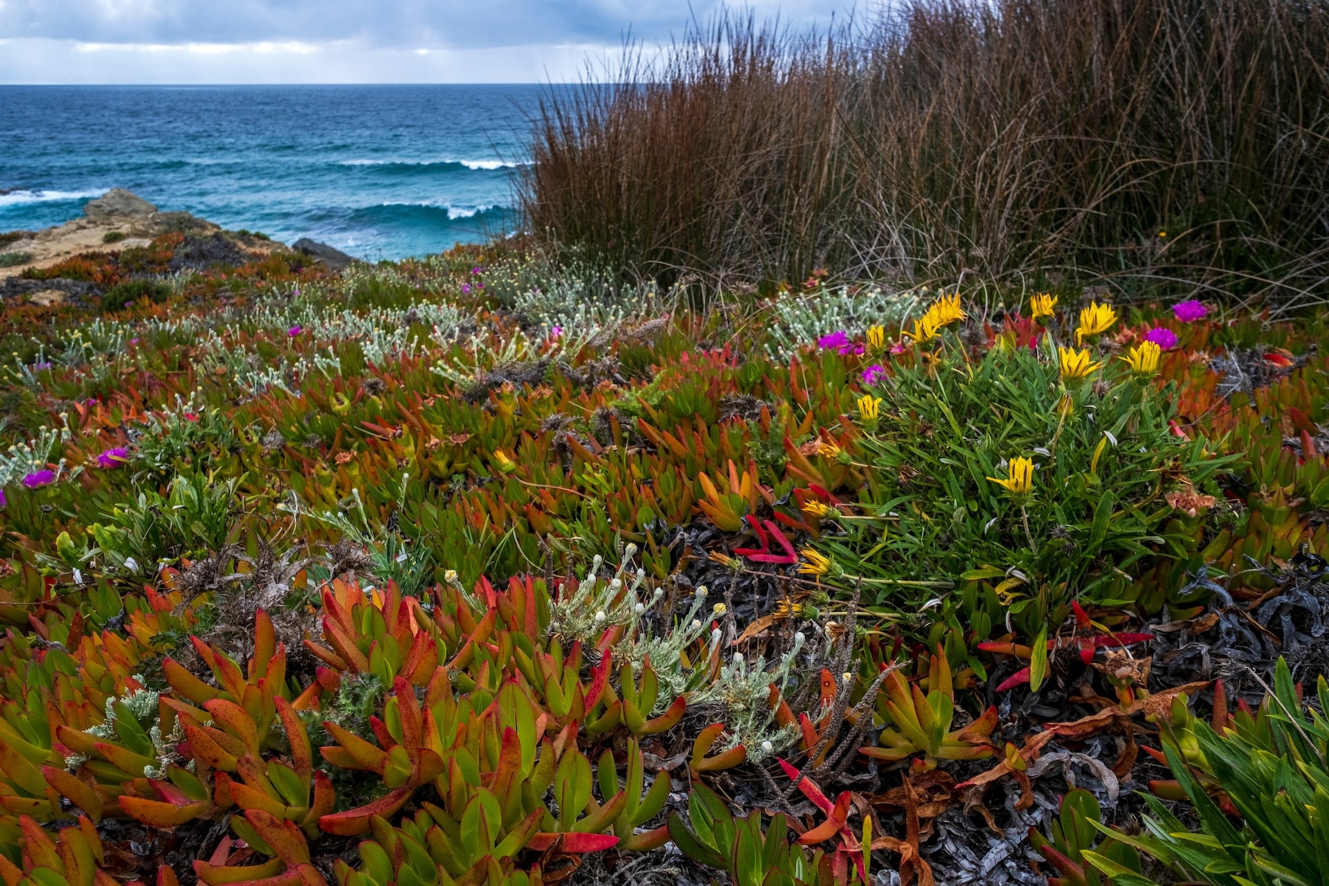
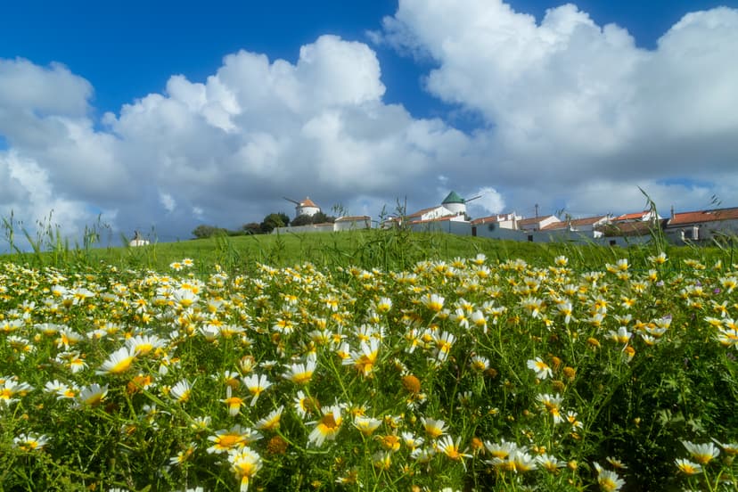
The classic season. Wildflowers peak in April, temperatures stay in the high teens to low twenties, and rain is uncommon by mid-March. Book accommodation early — this is high season.
June
Workable in the first two weeks, uncomfortably warm from mid-month onward.
July and August
Still possible, but hot. Coastal heat plus soft-sand walking can take a toll, and the trail is often closed in sections during high wildfire risk.
September
Improves markedly from around the 15th. Late September is close to April on the coast.
October
The other sweet spot. The light softens, wildflowers make a brief return, and the Atlantic stays warm enough for a swim. Rain risk rises after the 20th.
For accurate forecasts within these windows, the official Portuguese weather service — IPMA — publishes 10-day forecasts down to village level. Its rural fire-risk map is worth checking daily in July and August, when park authorities may close sections of the trail on very-high-risk days.
Preparing for the Sand
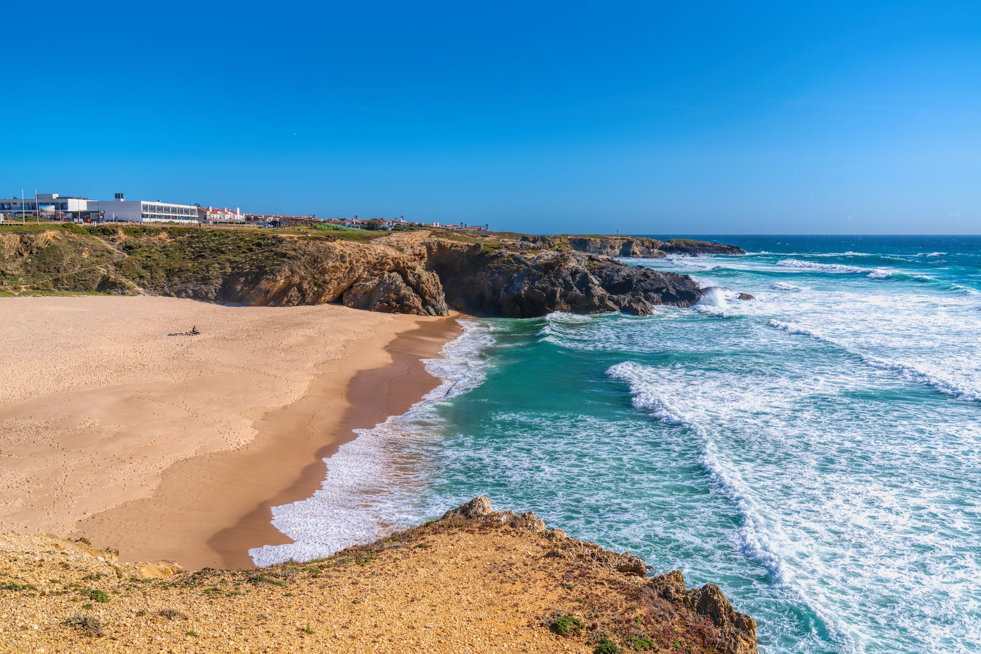
The sand is what most surprises walkers on the Fishermen's Trail. Since 60 to 70 percent of the trail is soft, a 15 km stage on paper commonly translates to 9 or 10 kilometers of proper sand walking, which takes roughly twice the effort of the same distance on firm ground. A moderate day on the map becomes a hard day on the feet.
Three pieces of kit help meaningfully:
Trekking poles with wide baskets
Standard pole tips sink straight into soft sand and give you nothing to push off from. The wider snow-basket attachments — the plastic snowflake-shaped discs sold for winter walking — work like small paddles on the sand and are the most useful piece of gear you'll bring.
High-cut hiking boots with long trousers or low gaiters
Sand gets everywhere. Anything shorter than mid-calf trousers means constant boot-emptying stops. Even with the right kit, it's worth stopping every 60 to 90 minutes to shake out any sand that's made it in — it helps prevent blisters.
Extra water
In April or October, 1.5 to 2 litres per person per stage is usually enough. In hot weather, plan on closer to 3 litres, especially on the longer stages where villages sit 20 kilometres apart. Coastal water is not safe to drink.
Rules and Cautions
A few things about this trail are worth flagging before you set out, because they aren't obvious from most guidebooks:
Wild camping is illegal inside the Southwest Alentejo and Vicentine Coast Natural Park. Fines are enforced by ICNF rangers and by the GNR-SEPNA nature-protection police, and the park is actively patrolled in high season. Every practical itinerary is inn-to-inn or guesthouse-based.
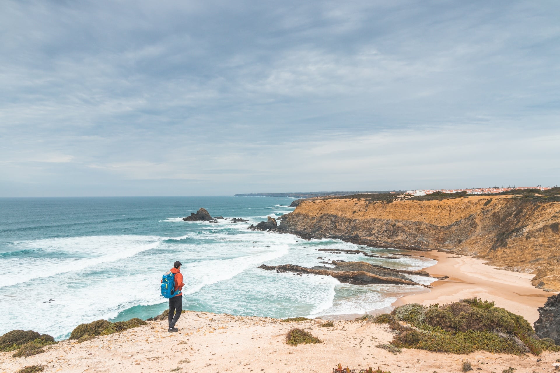
The cliffs are actively eroding. The Rota Vicentina Association explicitly asks walkers to stay behind the fenced or roped sections at cliff edges, and long stretches of the trail run within a few metres of the drop. Sections of the path have collapsed over the last few years. Don't step past the barriers for a photo.
Vertigo isn't a good match for this trail. The official trail description is explicit: it's “not recommended for people with vertigo or fear of heights.” Long stretches run directly on the cliff edge, sometimes without any barrier at all.
Group size is capped at 15. Larger groups need special authorization from park authorities. The rule protects the fragile coastal ecosystem.
Trail running isn't compatible. The park explicitly asks walkers not to run the trail — the sandy sections deteriorate quickly under running feet.
No bikes and no motor vehicles. The Fishermen's Trail is exclusively pedestrian, and vehicles are prohibited in the dunes. If you want to cycle the region, the parallel Historical Way is open to bikes; this one isn't.
Where to Sleep
Every stage ends in a village or small town, and that's where you'll find accommodation. There are no huts on this trail — only guesthouses, small hotels, and rural tourism properties. In the peak shoulder months of April, May, and October, rooms in the smaller villages fill six to eight weeks ahead of arrival.
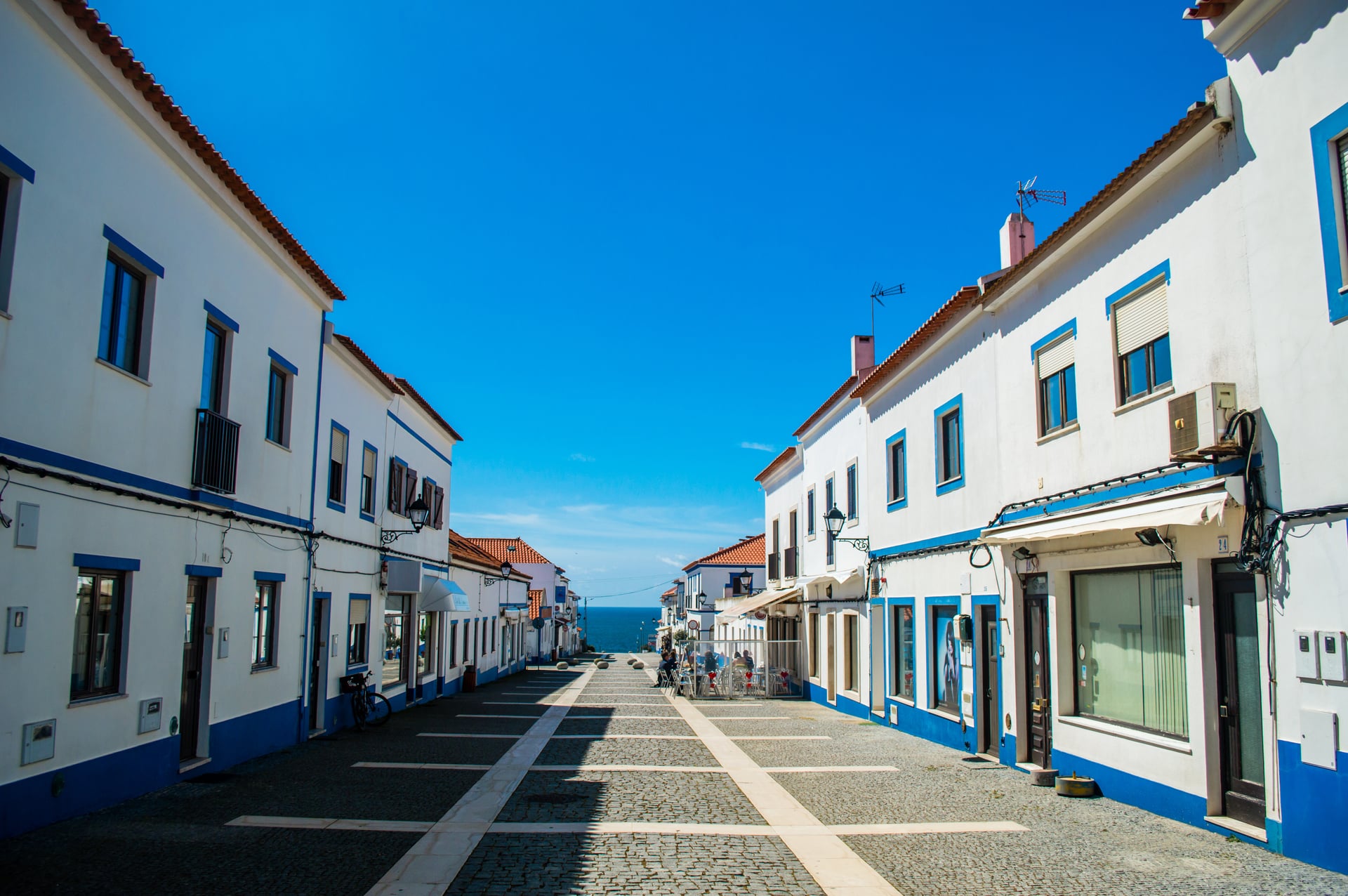
Five villages you'll likely spend the nights in on the trail, each worth knowing before you book:
Booking early matters more here than on most European long-distance trails. Package tours secure their room blocks well ahead of individual walkers, which is one of the practical reasons walkers often choose a self-guided package over piecing an itinerary together themselves.
Choosing Your Fishermen's Trail Walk
The choice often comes down to how many days you have. With a week, the Highlights itinerary covers the trail's most dramatic Alentejo stages between Porto Covo and Odeceixe. With two weeks, the full 14-day route walks the entire 226.5 km to Lagos. But it is not only a question of time. Our Highlights tour is rated 2/5 for fitness, while the full 14-day route is 4/5 — thirteen consecutive days on sand is a different proposition from four.
Both tours are self-guided — you follow the marked route at your own pace, and we look after accommodation, luggage transfers between stages, a digital guidebook with GPS files, and phone or WhatsApp support along the way. If you're still weighing the Fishermen's Trail against Portugal's other hiking regions, our Portugal walking guide covers the country in one place.
Have more questions? Get in touch with our team — we'll help you match a tour to your fitness, your travel dates, and whether you'd rather walk the highlights or the whole trail.

About this author
Jon is our travel advisor and an outdoor adventurer who is happiest on the move. While mountain biking is his personal passion, he thrives on crafting hiking adventures for others — planning routes and adding the little touches that turn a trip into a core memory.






















































.jpg&w=828&q=75)





















