Hiking in Provence: Two Ranges and a Fire Calendar
Hiking in Provence means two limestone ranges, ochre quarries the colour of rust, and a fire calendar that decides which trails open in summer.

Ajda
Published September 8, 2026
Edited September 15, 2026
15 min read
Quick links
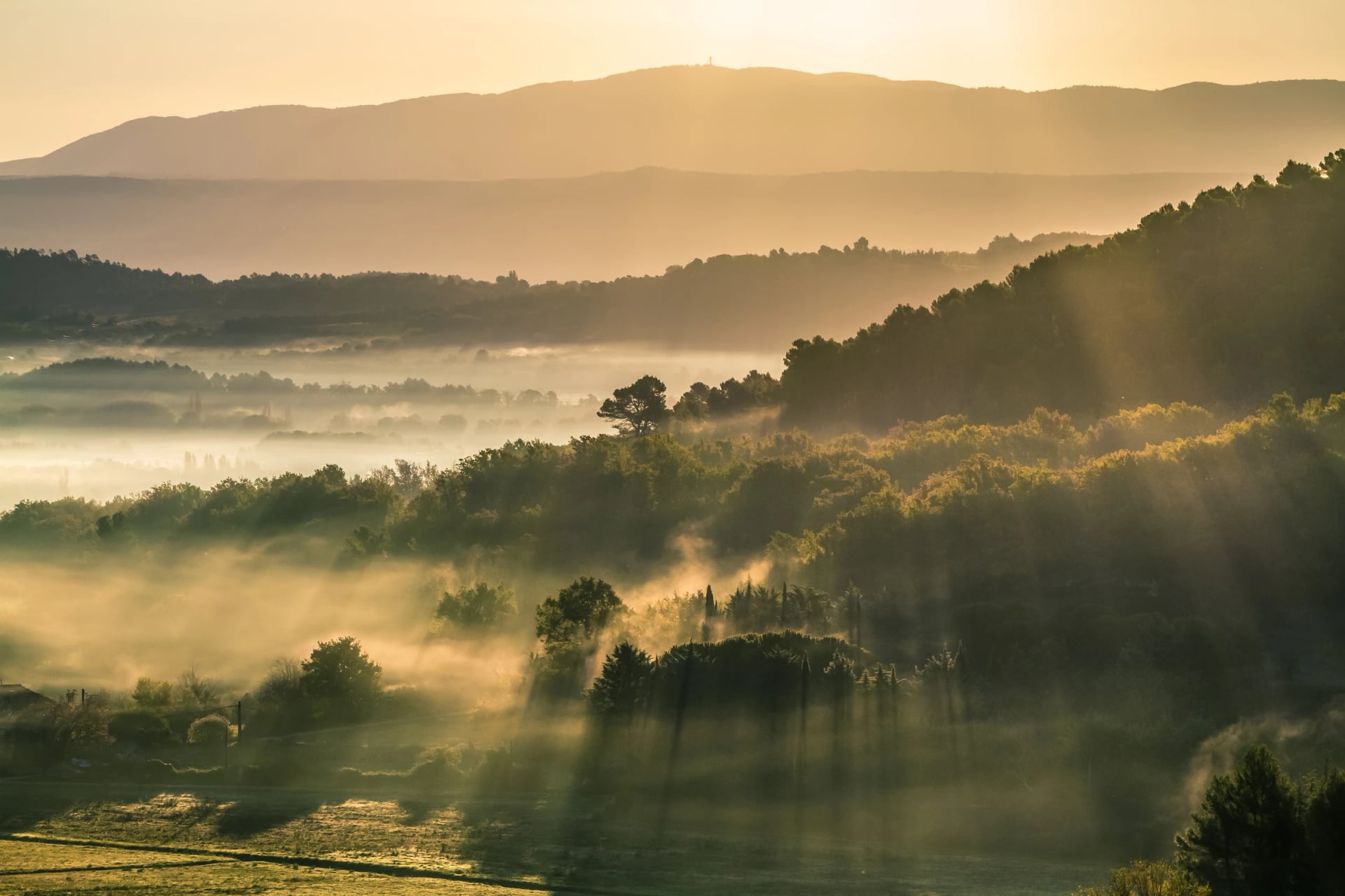
The light here does something to the landscape that photographs never quite catch. In April, when almond blossom gives way to wild orchids along the Alpilles ridge, or in late September when the ochre cliffs at Roussillon turn amber in the afternoon, the walking feels like moving through a painting.
In the Alpilles that is not entirely a metaphor. Van Gogh painted this exact ground during his year at Saint-Paul-de-Mausole in 1889, and the olive groves and limestone teeth above Saint-Rémy are recognisable from the canvases.
Walking in Provence covers a lot of ground in a compact area. Limestone ridge in the Alpilles to the west, cedar forest and ochre gorge in the Luberon to the east, and each area walks differently and asks for different preparation.
This is a practical guide to planning a Provence walking holiday: which range suits which walker, what the stages involve, when to come and what the fire rules mean in practice. As multi day hiking goes it is gentle, and the heat does more work than the gradient. The wider country sits in our guide to hiking in France.
Best Hikes in Provence
Provence has two areas built for multi-day walking, the Alpilles in the west and the Luberon to the east. Both are organised village to village rather than hut to hut, with maintained trails and enough variety to fill a week.
Most walkers pick one. Combining them into a single longer route works, but it means a transfer between ranges rather than a walking link, so the two weeks are better taken separately unless you have a fortnight.
The Alpilles and Van Gogh's Provence
Alpilles hiking is the gentler of the two options, and the range is a compact limestone spine running roughly east to west between Arles and Tarascon. The scale is modest, rising to 496 metres at Les Opies, and the setting is not: white rock, silver olive groves and stone villages under the light that brought Van Gogh here.
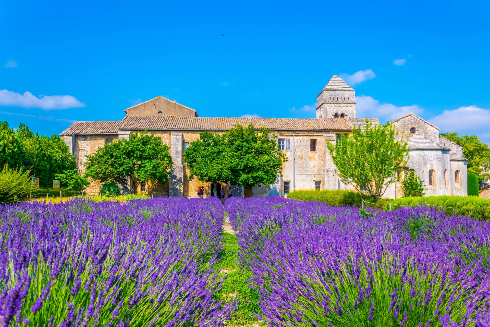
He spent a year at the asylum of Saint-Paul-de-Mausole in Saint-Rémy-de-Provence from 1889 and produced some of the most recognisable paintings in Western art from its garden and the fields around it. The monastery is still there and the cloister garden is on the route.
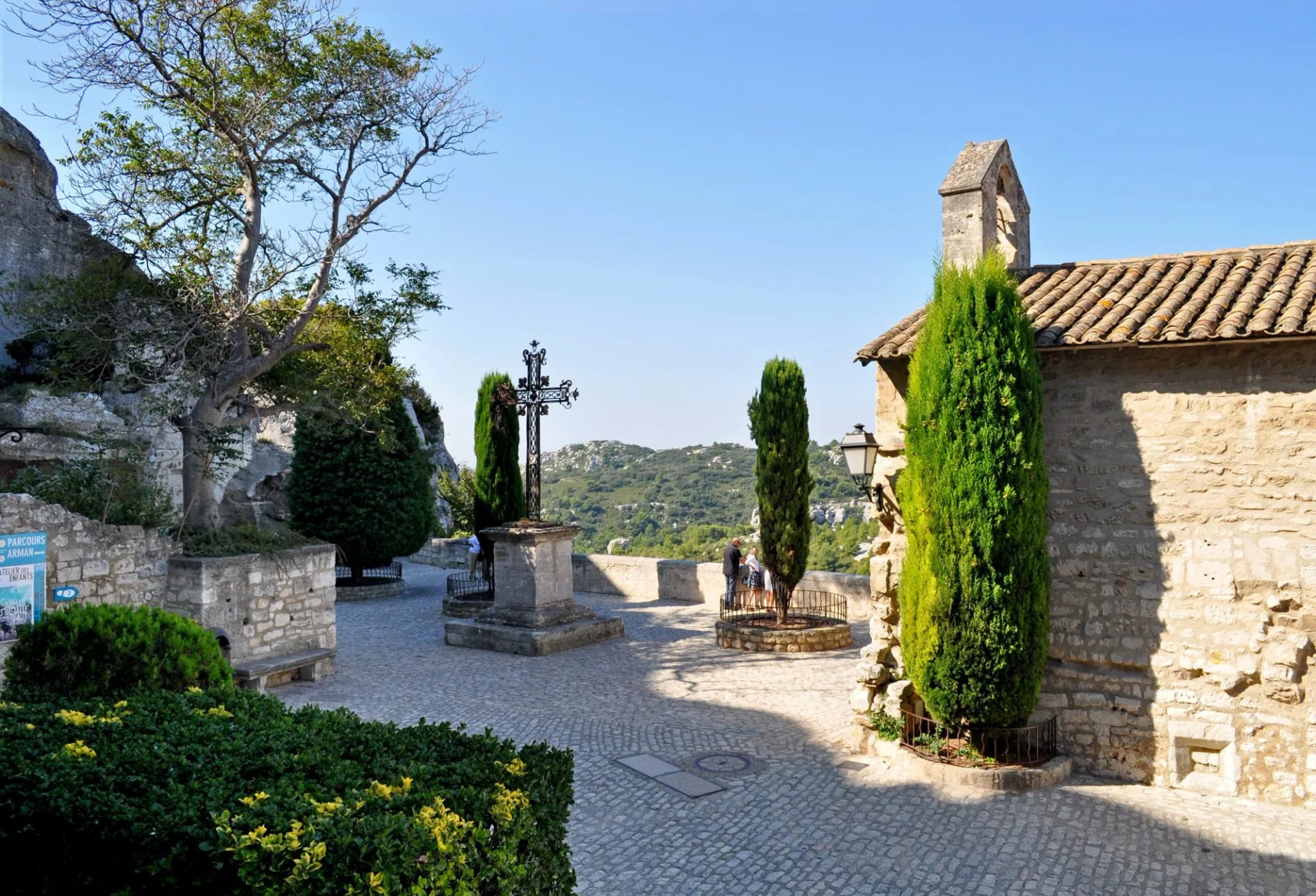
Multi-day routes here usually begin or end at Saint-Rémy and alternate between the ridge and the villages below it. A maintained path runs the spine of the massif with views across the Camargue and north towards the Alps, and it drops to Eygalières, Les Baux-de-Provence on its white spur at 245 metres, Maussane-les-Alpilles and Paradou.
None of it is technically demanding. The catch is exposure: the ridge has no shade at all, so a full water supply and sun cover stop being advice and start being equipment from late spring onwards. The limestone throws the heat back at you as well, which is why the ridge is a morning job.
Route: Avignon to Arles through Saint-Rémy, the Alpilles ridge, Les Baux and the olive country
Daily: 7 to 20 km with 40 to 355 m of ascent, so the days are short and the light is the point
Season: March to November, which is the longest window of any tour on this page
Sleeping: inns and small hotels at comfort level
Suits: average fitness with no mountain experience, and anyone who wants the paintings as well as the path
The technical grade of 1 out of 5 is the lowest on our books. That makes this the gentlest week in the whole French collection, and it is a walking holiday, not a trek, which is exactly the point of it.

The Luberon and the ochre country
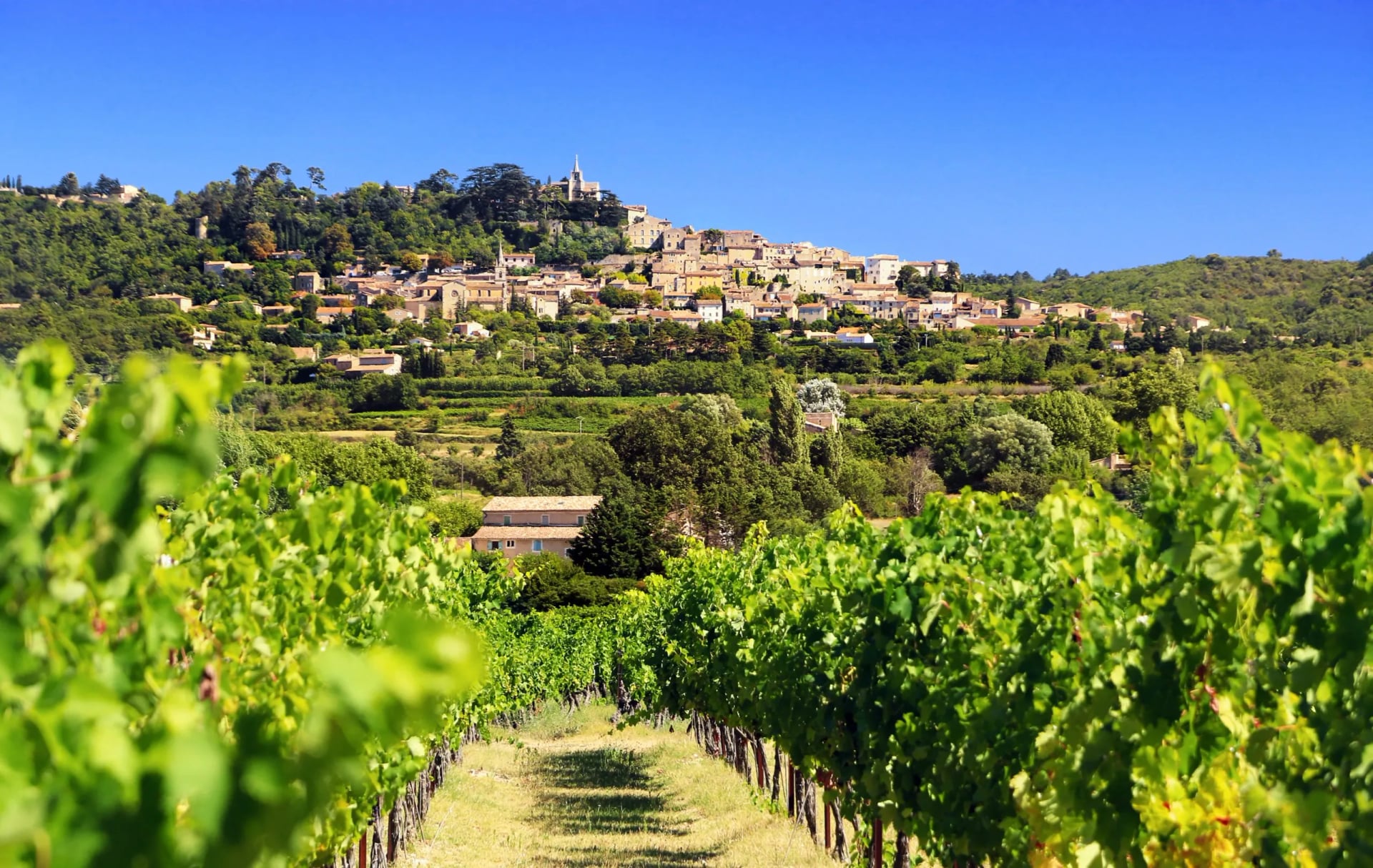
East of the Alpilles, Luberon hiking gives you more variety and more villages. The regional park covers 185,000 hectares across 77 communes of oak hills, lavender and the hilltop villages that have become the standard image of Provence. It splits into the Petit Luberon in the west and the Grand Luberon in the east.
The plateau between them carries the most accessible ridge walking, and it is the part of the park that feels least like a garden and most like a range. The benchmark long route is the GR97, the Tour du Luberon, which runs about 170 kilometres around the massif and is usually walked in sections rather than as a single circuit.
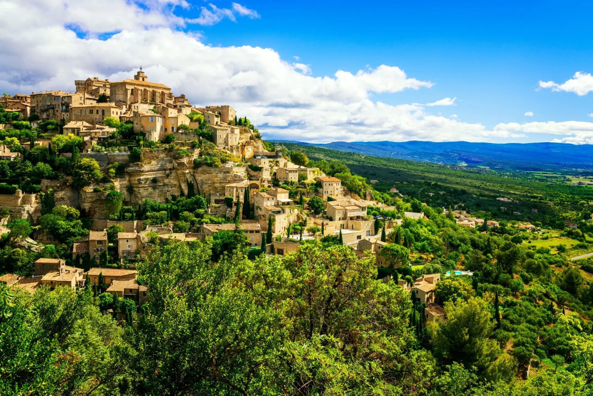
A week here links Gordes, Sénanque Abbey, Roussillon, the ochre formations at Rustrel, the Oppedette gorges, Saignon, Buoux, Bonnieux, the Forêt des Cèdres and Oppède-le-Vieux. That is ten places in seven days, which tells you how close together the villages sit. Stages average 12 to 16 kilometres, with 400 to 600 metres of ascent, mostly on signed paths through garrigue and limestone plateau.
Roussillon deserves particular attention. The village sits above one of the largest ochre deposits in the world, and the cliffs run through red, orange and yellow in a way that looks manipulated until you see it.
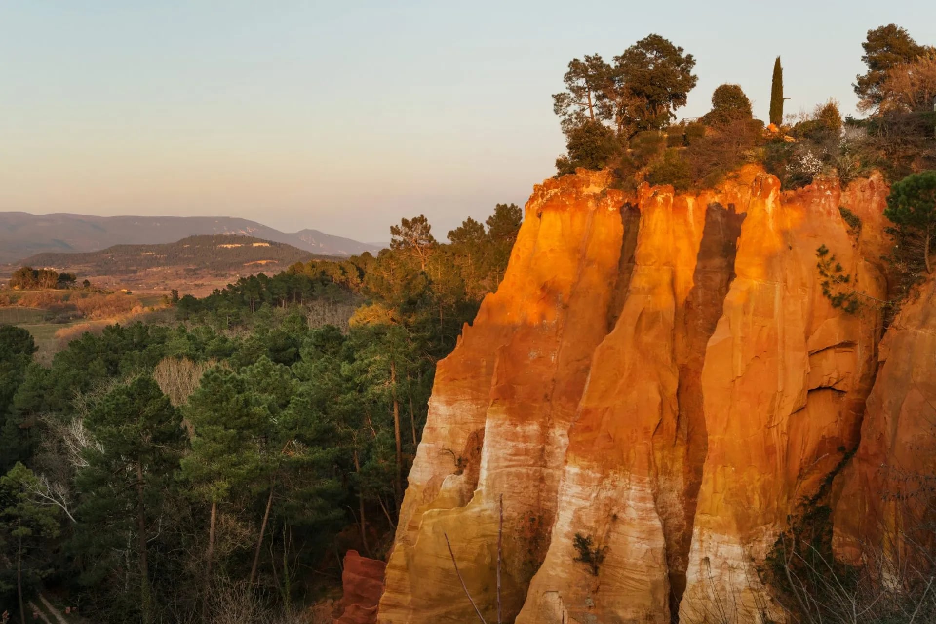
The Sentier des Ocres is the short loop through the old quarries, and it is worth walking in morning light before the coaches arrive. For a full day, the stage from Bonnieux to Roussillon, roughly 12 kilometres with 205 metres of ascent, is one of the most satisfying in Provence.
Accommodation in the Luberon runs from working farmhouses converted into chambres d'hôtes to polished village hotels. The villages carry evening markets and serious restaurant kitchens, and the food is part of the itinerary here rather than a break from it.
Route: the Luberon, Apt across to Fontaine-de-Vaucluse through the hill villages
Daily: 8 to 16 km with 200 to 550 m of ascent
Season: April to October, and April to June is the one to ask for
Sleeping: inns and guesthouses at comfort level
Suits: walkers who want the villages and the food as much as the distance
How Hard Is Hiking in Provence
Provence is not an alpine destination and it does not pretend to be. There are no staffed mountain refuges in the classic sense, and the whole model is inn to inn: villages, auberges, gîtes, chambres d'hôtes and small hotels rather than dormitories at altitude.
That changes the planning more than the walking. Accommodation sits in the villages, so stages are designed village to village, and where the beds are decides where the days end rather than the other way round.
Stages typically run 10 to 18 kilometres with 300 to 600 metres of ascent, which is modest on paper. The limestone changes that arithmetic, because it holds heat and gives no shade, and a 14 kilometre ridge day can feel like twenty.
Carry more water than the distance suggests. Both our Provence weeks are graded fitness 2 out of 5, which puts them among the gentlest walking holidays on our books, and the Luberon week is the harder of the two by daily ascent rather than by terrain.
Best Time to Hike in Provence
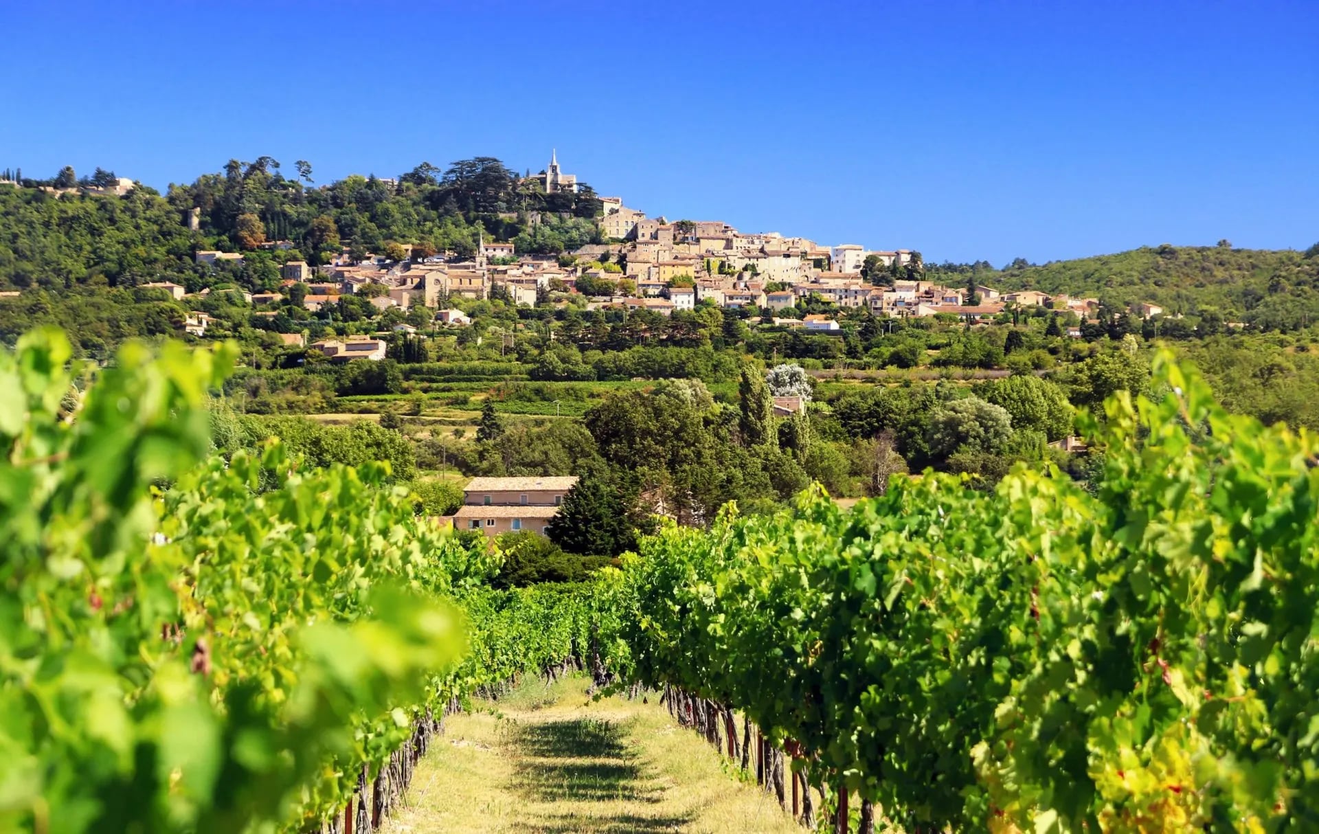
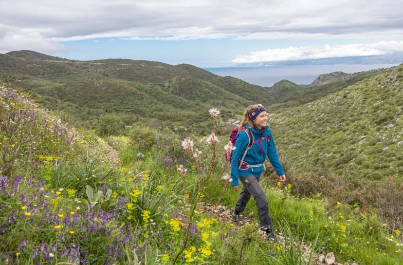
April and May are the best months, and it is not close. Daytime highs reach about 20 degrees in April and 24 in May, the garrigue is at its flowering peak with wild orchids, rockroses and broom, and the summer crowds have not arrived.
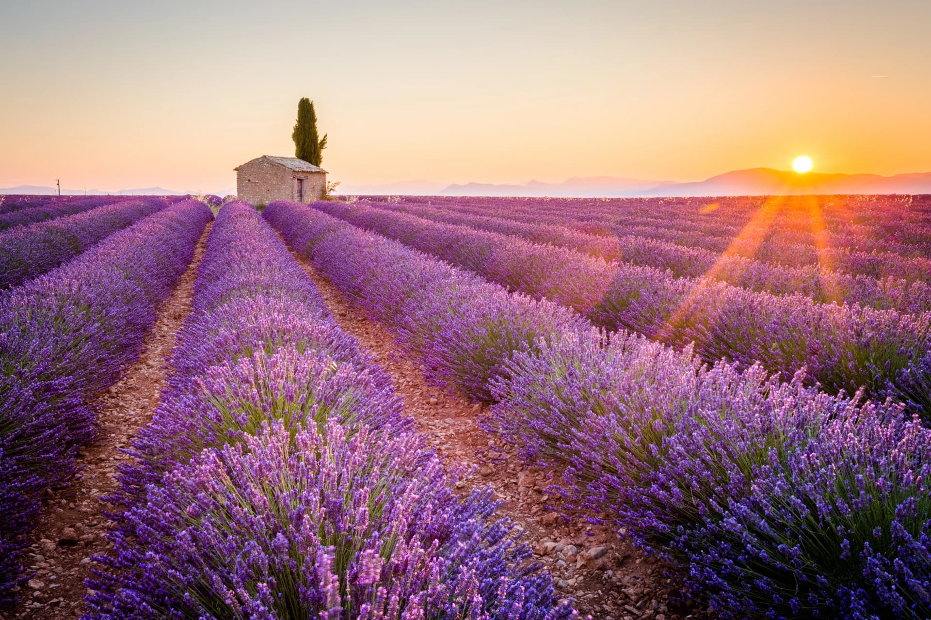
The lavender that defines the Luberon in photographs comes later, flowering from about mid-June, fullest from late June into July, and the heat arrives with it. That trade-off is worth deciding in advance rather than discovering, because the fields and comfortable walking do not overlap neatly. If the lavender is the reason for the trip, take a late June week and start each stage early, and accept that you are walking in heat.
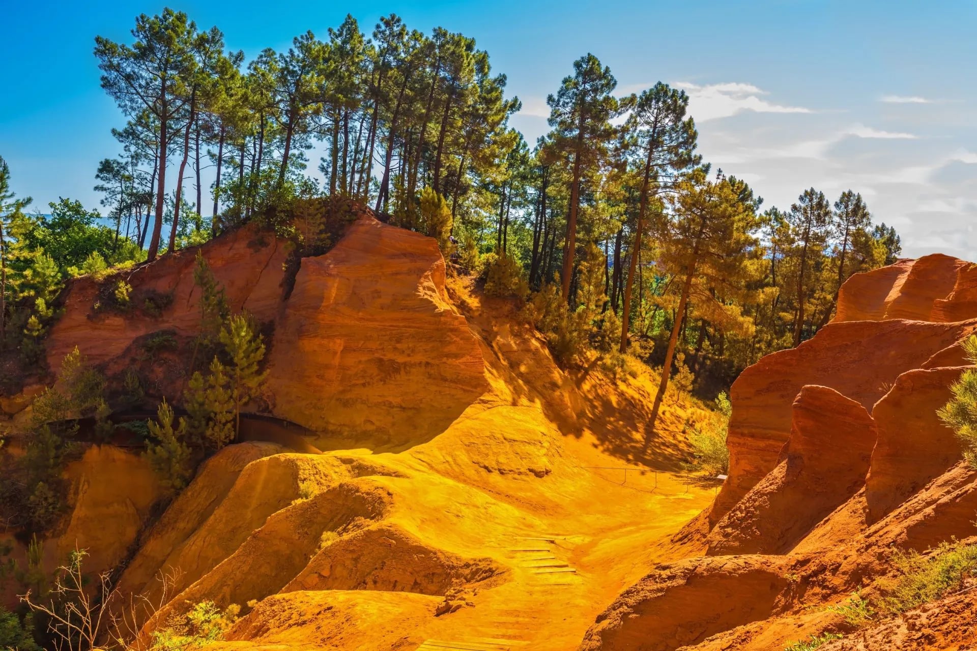
September and October are just as good and routinely overlooked, and they are the months regular Provence walkers quietly prefer. The light warms and the crowds thin, the harvest changes the mood in the villages, and the Luberon in October with the vine leaves turning is one of the better places in southern Europe to be on foot.
Winter is underrated rather than impossible. From November to March the trails are close to empty, ridge visibility on a clear day is outstanding, and both ranges take enough sun for comfortable low-level walking even in January.
Fire Closures and Summer Walking
Summer here is governed by fire risk, and this is the single most important planning fact on the page. The two ranges sit in different departments, so each runs its own decree on its own dates: the Alpilles under Bouches-du-Rhône from 1 June to 30 September, the Luberon under Vaucluse from 15 June to 15 September. Both publish the next day’s decision in the evening rather than on the morning you set out.
The scales differ as well. Bouches-du-Rhône publishes a straight open or closed map for walkers, while Vaucluse runs four levels, and on an orange day the Luberon massifs open only until midday. On red the massif is closed outright, and that is enforced rather than advisory, with wardens on the ground and roads shut to traffic in the worst weeks.
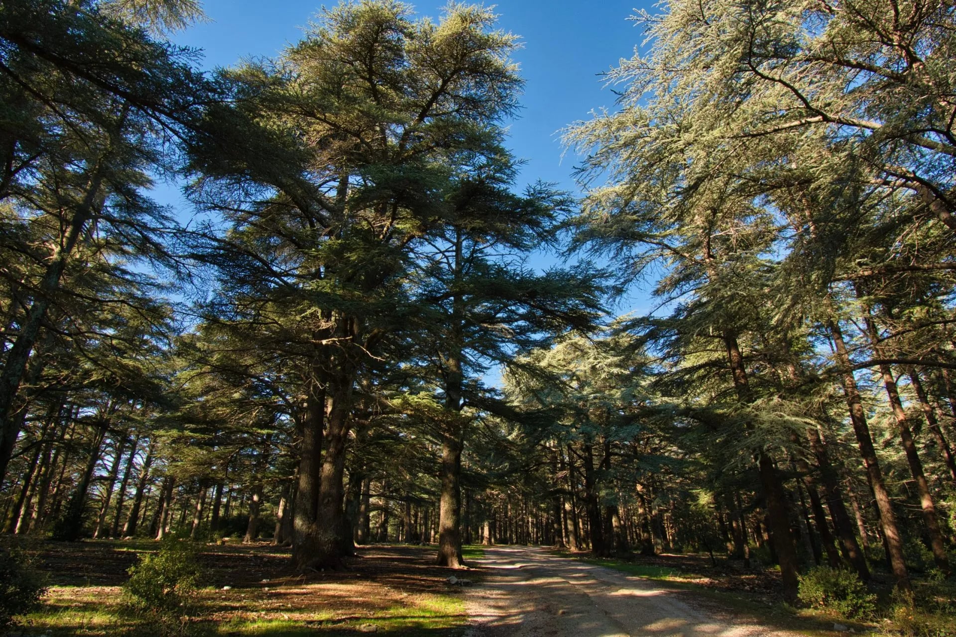
The practical consequences are simple. Check the right department the evening before every stage, start no later than eight in the morning, carry half a litre of water for every hour you plan to walk, and keep a fallback stage that does not enter the massif. On orange days in the Luberon a few places stay open longer, among them the Colorado Provençal at Rustrel, the Aiguebrun valley at Buoux and the waymarked part of the cedar forest above Bonnieux.
This is the strongest argument for walking Provence in spring or autumn instead. It is not that summer is unpleasant, though in the low thirties with heatwave spikes past 35 it often is. It is that a colour can cancel your day and there is nothing to be done about it.
Where to Stay in Provence
Booking is essential from Easter to the end of October, and the popular villages are the pinch point. Gordes, Roussillon and Les Baux-de-Provence fill several months ahead in peak season, and they are also the places most people want to stay.
Aim to book as early as you can for May, June or September. The rooms are the constraint on any Provence itinerary rather than the distance between them, for the familiar reason: small villages, limited beds, high demand.
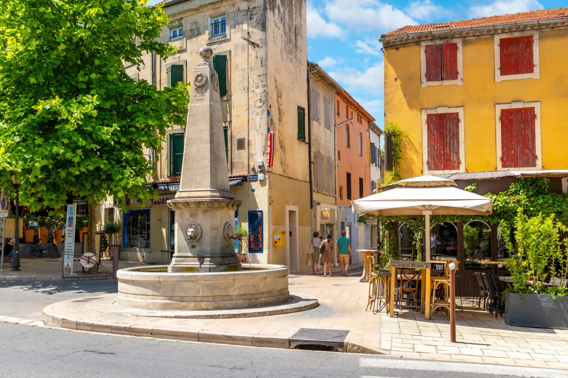
The accommodation itself is part of the trip rather than a backdrop to it. A converted farmhouse outside Bonnieux and a village hotel in Gordes are different holidays, and it is worth knowing which one you have booked before you arrive tired.
Public transport between villages is thin outside the main towns and the timetables rarely match walking stages. Most walkers on a self-guided week rely on luggage transfers and walk with a day pack, with taxis filling the gaps.
Getting to Provence
Marseille Provence Airport is the most practical gateway, with direct flights from across Europe and good onward connections. Both of our Provence walking trips start within reach of it. It suits both ranges, and it is the arrival most of our Provence weeks are built around.
By rail, Avignon TGV reaches Paris in about two hours forty, and Aix-en-Provence TGV, 15 kilometres out of the city and served by a shuttle bus, runs about three hours. Both work as start points for the Alpilles and the Luberon.
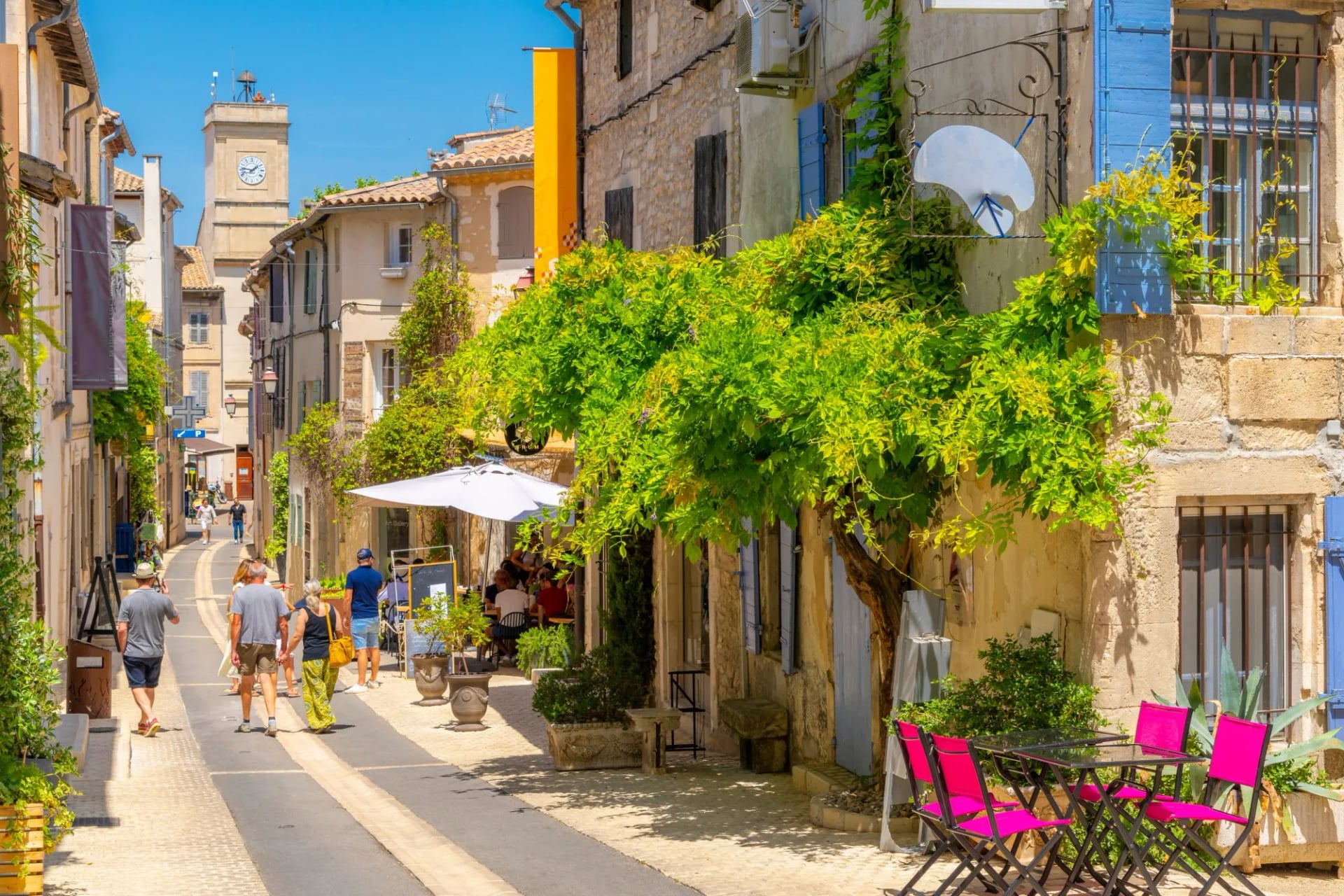
Once you are here, the gaps are the problem rather than the arrival. Villages are close together but poorly linked, and your accommodation can almost always arrange a transfer or a taxi with a day's notice, which is worth using rather than improvising.
A little French goes a long way in the rural parts. Gordes and Les Baux are tourist-facing and English is everywhere, but in the smaller hamlets and on working farms it is considerably less common, and check-in is smoother if you can manage the basics.
Provence Maps and Waymarking
The GR network covers both ranges and is marked with the standard red and white blazes. The GR6 and GR97 cross the Luberon plateau and the GR6 also runs through the Alpilles, all maintained by the Fédération Française de la Randonnée Pédestre.
Their topoguides are the most reliable source for distances and elevation profiles, and they are worth buying over a generic map. The Luberon regional park publishes its own walking information and is the place to check access inside the park boundary. The Alpilles have their own regional park as well, created in 2007, which publishes the access and water guidance for that range.
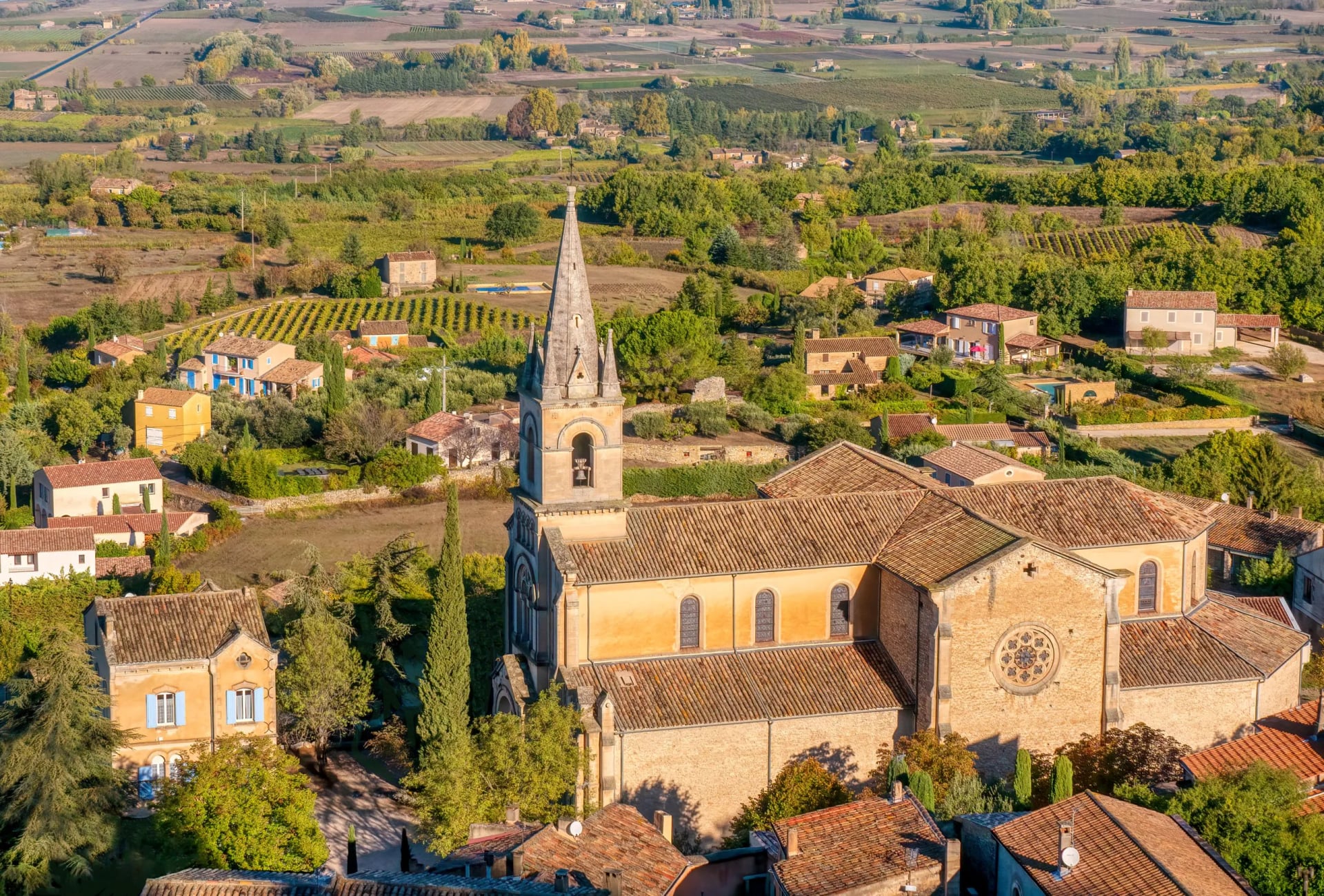
Waymarking is generally good, with two caveats. Summer vegetation hides markers on the less-walked paths, and paint fades on exposed limestone, so carry the GPS track as well as the map rather than instead of it.
Book self-guided and the navigation arrives handled: route notes, a digital guidebook and GPS files for every stage. On a garrigue plateau in August that is more useful than it sounds, because the paths multiply and the markers do not.
What to Pack for Provence
Start with sun and water, because this is the one region on our French list where those two things outrank everything else. The Alpilles park puts it at half a litre for every hour of walking and warns that the only water is in the villages, so carry three litres of capacity in high summer, a proper hat, high-factor cream and something long-sleeved for the ridge, where there is no shade for hours at a time.
Footwear can be light. Trail shoes with grip handle the limestone and the garrigue, and heavy boots are more than either range needs, though the rock is sharp enough that thin soles get tiring by the afternoon.
Bring a light windproof and a warm layer anyway. The mistral can drop the felt temperature sharply on an exposed ridge even in June, and spring and autumn mornings are cold before the sun gets up.
The rest is village practicalities. Cards work almost everywhere but small producers and markets still prefer cash, a head torch is useful for the early starts summer forces, and poles are optional here in a way they are not on the GR10 or the GR20.
Ochre, Abbeys and Busy Villages
The ochre at Roussillon is not decorative geology, it was an industry. The deposits were quarried commercially into the twentieth century, and the Sentier des Ocres runs through the workings rather than past them, which is why the colours are exposed the way they are. It is a ticketed enclosed trail on the edge of the village rather than a path you join off the GR, and it runs as two loops of roughly half an hour and an hour.
Wear something you do not mind staining. Ochre dust gets into everything, and pale trail shoes come out of the Sentier des Ocres a different colour from the one they went in.
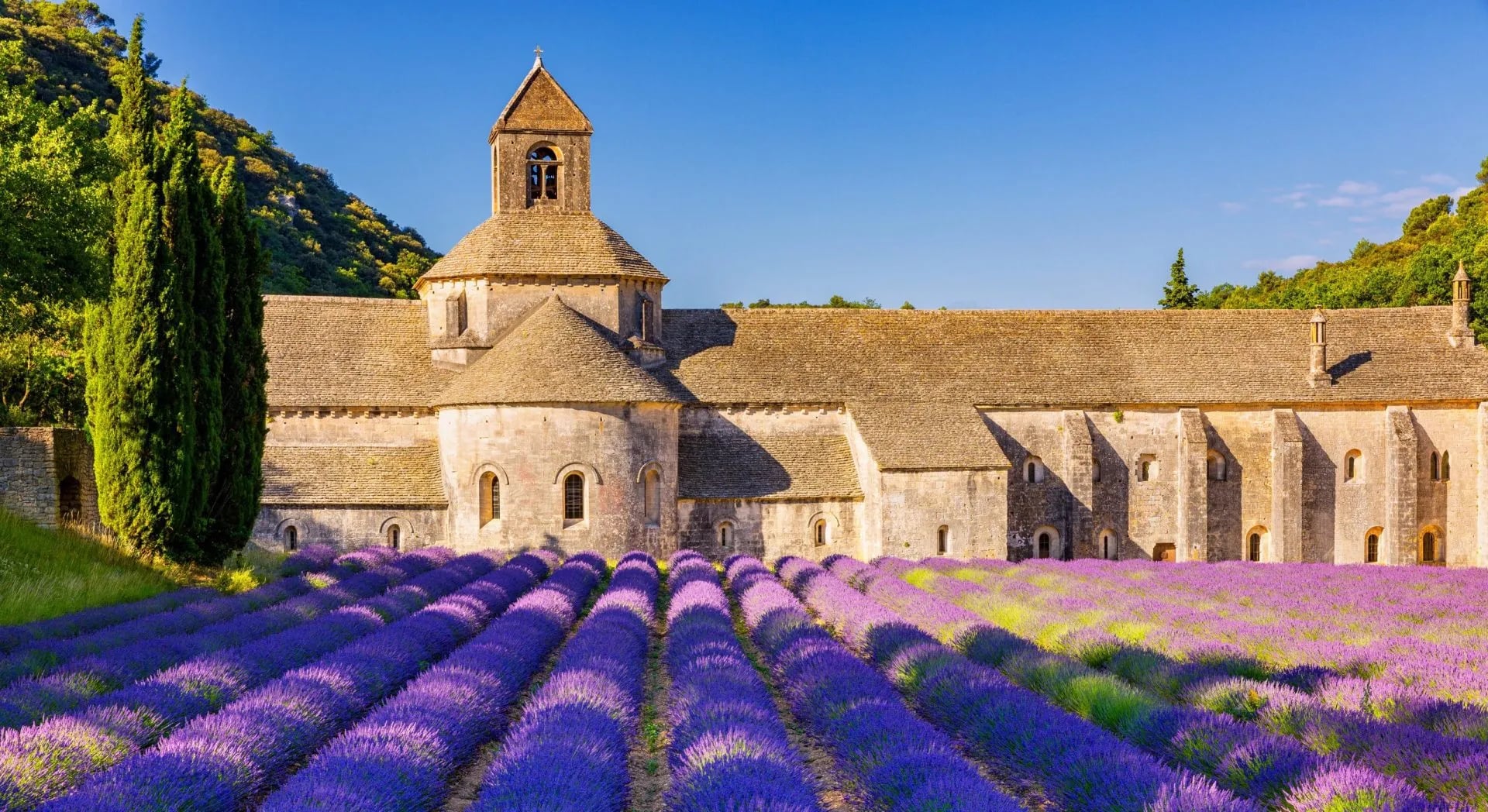
Sénanque Abbey is a working Cistercian monastery rather than a monument, which shapes when you can visit and how. The lavender rows in front of it are the photograph everyone knows, and they flower with the rest of the Luberon lavender from about mid-June.
Les Baux gets very busy and it is worth timing. The village empties in the late afternoon when the coaches leave, and the last hour is the good one, which is also true of Gordes and Roussillon for the same reason.
Frequently Asked Questions
Planning Your Provence Walk
Provence rewards the pace walking imposes on you. The lunch stop in a village square that turns into two hours, the ridge reached as the light changes, the stage that ends with a cold glass on somebody's terrace and no particular reason to move.
The Alpilles and the Luberon both give that, with enough variety across a week to keep experienced walkers interested from one stage to the next. If you are deciding which range fits your dates and your fitness, get in touch and we will work it through with you!

About this author
Ajda is our travel advisor, raised in a village surrounded by mountain peaks. Hiking entered her life early on and remains her favorite way to reconnect with nature.














































.jpg&w=828&q=75)