West Highland Way: How Long It Takes, and the Hard Days
The Devil's Staircase is not the hard part. The West Highland Way stage by stage, 96 miles past Loch Lomond to Ben Nevis, and where it really bites.

Suzana
Published September 10, 2026
Edited September 30, 2026
19 min read
Quick links
Don't want to read all this?
We've planned 2,000+ hiking trips. Send your dates, fitness and group size — we'll map the route and book every night.



Most people who walk the West Highland Way cross from one country into another on the second morning and never notice. There is no sign for it. There is only a hill.
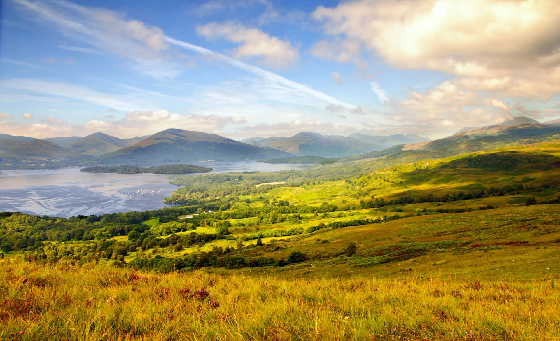
Conic Hill, above Balmaha, sits directly on the Highland Boundary Fault. South of it the ground is Lowland farmland. North of it the Highlands begin, and the islands strung across Loch Lomond line up along the same fracture.
The trail crosses a geological border. Nothing marks it and nobody mentions it. You climb a grassy hill and come down in a different country.
The West Highland Way runs 154 kilometres, or 96 miles, from Milngavie on the edge of Glasgow to Fort William under Ben Nevis. It opened in 1980 as Scotland's first official Long Distance Route. The official route authority has waymarked it ever since, and tens of thousands of walkers complete it every year, more than any other trail in the country.
This guide covers the eight stages with real ascent figures and the two sections that are harder than the grading suggests. It also covers what you are physically walking on, which for much of the north is an 18th-century military road. For the wider picture of walking in the country, see our Scotland hiking tours. Our guide to hiking in Scotland sets it beside the country's other waymarked trails.
Why Walk the West Highland Way
It is the famous one, and fame is usually a reason for suspicion. Three things make this trail deserve it. None of them is the photograph everyone has seen.
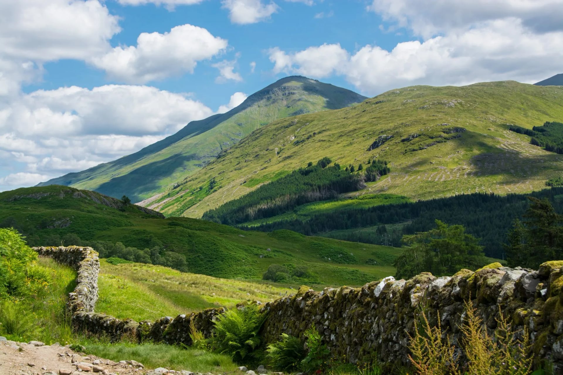
The landscape changes completely as you walk it. You start in a suburban park, cross farmland, climb a fault line, follow 30 kilometres of loch shore, then break out onto open moor and finish among the biggest mountains in Britain. Very few trails anywhere reorganise themselves that thoroughly in a week.
It is a real crossing, not a loop. Every day takes you somewhere new and the ground gets wilder as you go. The finish under Ben Nevis is earned rather than arranged, which is not true of a circuit.
The infrastructure is the best in Scotland. Waymarking is continuous, villages and inns sit at sensible intervals, and baggage transfer runs the whole length. That combination is why a first long-distance walker can finish it, and why so many people finish it every year.
The trade-off is company. This is the busiest trail in Scotland, and in July you will rarely have a view to yourself. May and September are noticeably quieter.
The Route, Stage by Stage
The West Highland Way stages below run south to north over eight walking days. Distances and ascent are from our own routing of the trail, which covers about 151 kilometres against the official 154. Each stage ends where there are beds, so the day lengths are set by settlement rather than terrain.
Milngavie to Drymen
Distance: 19 km
Ascent: 190 m
Nineteen kilometres with 190 metres of climbing makes this the gentlest day of the eight, and deliberately so. You leave a Glasgow suburb through a park, pick up an old railway line, then cross farmland at the edge of Mugdock.
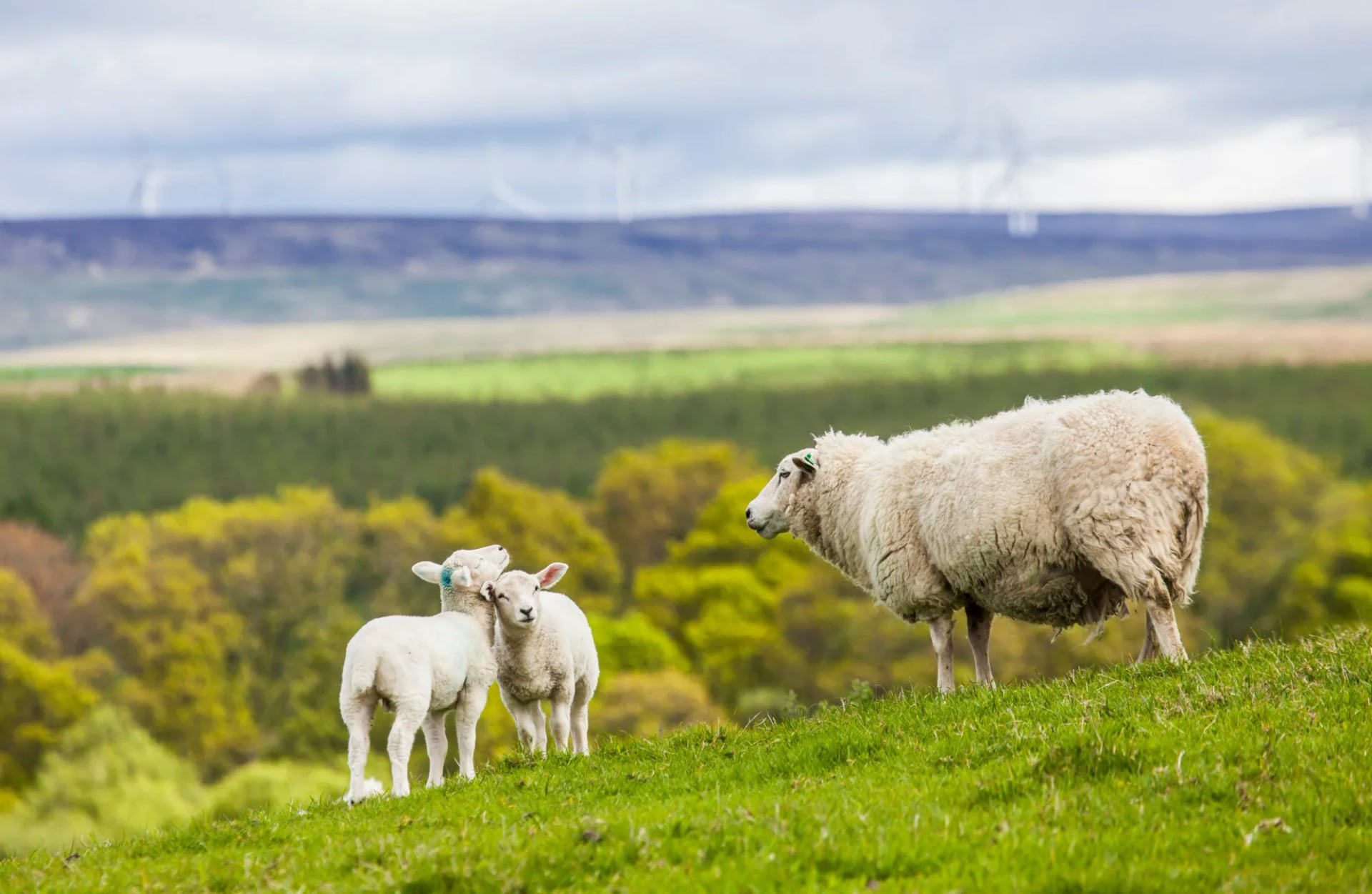
The Highlands stay visible ahead for most of the afternoon, which is the point of the day rather than an accident of the route. Nothing here is difficult and nothing is meant to be. It is a warm-up with a view of what is coming.
Drymen is the last comfortably Lowland village on the trail. Everything north of it sits in the other half of the country, and the change comes tomorrow morning.
Drymen to Rowardennan
Distance: 23 km
Ascent: 540 m
Today the trail changes character. You climb Conic Hill, cross the Highland Boundary Fault at the top, and drop to Balmaha on the shore of Loch Lomond.
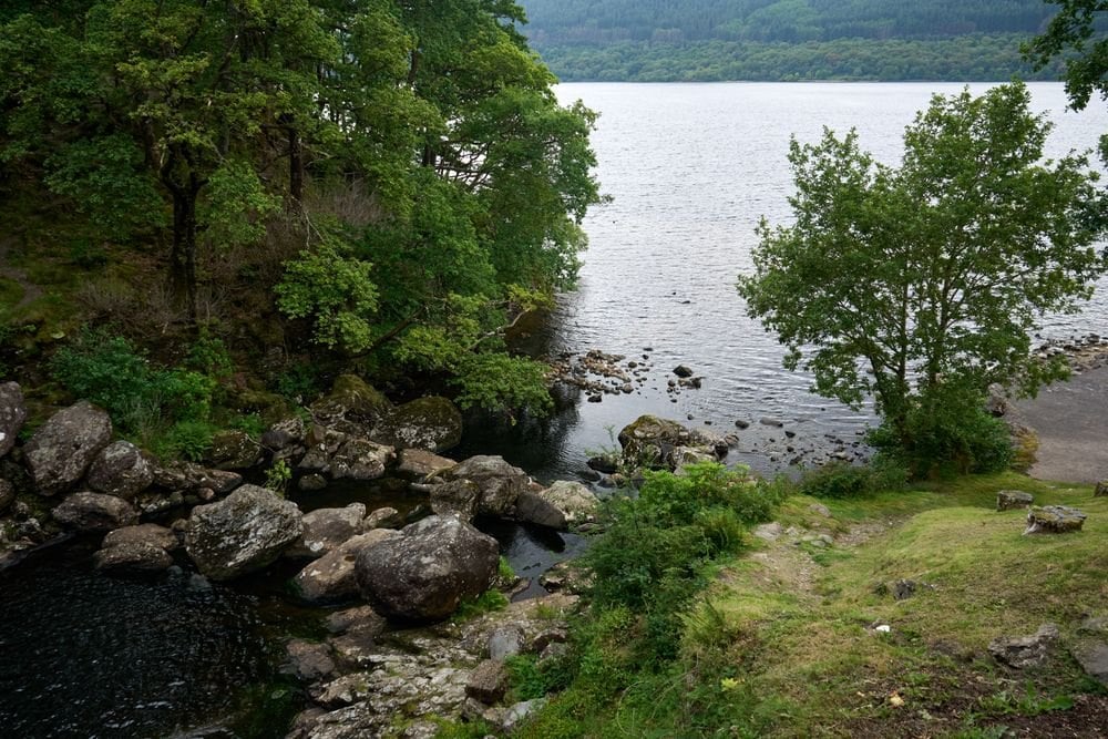
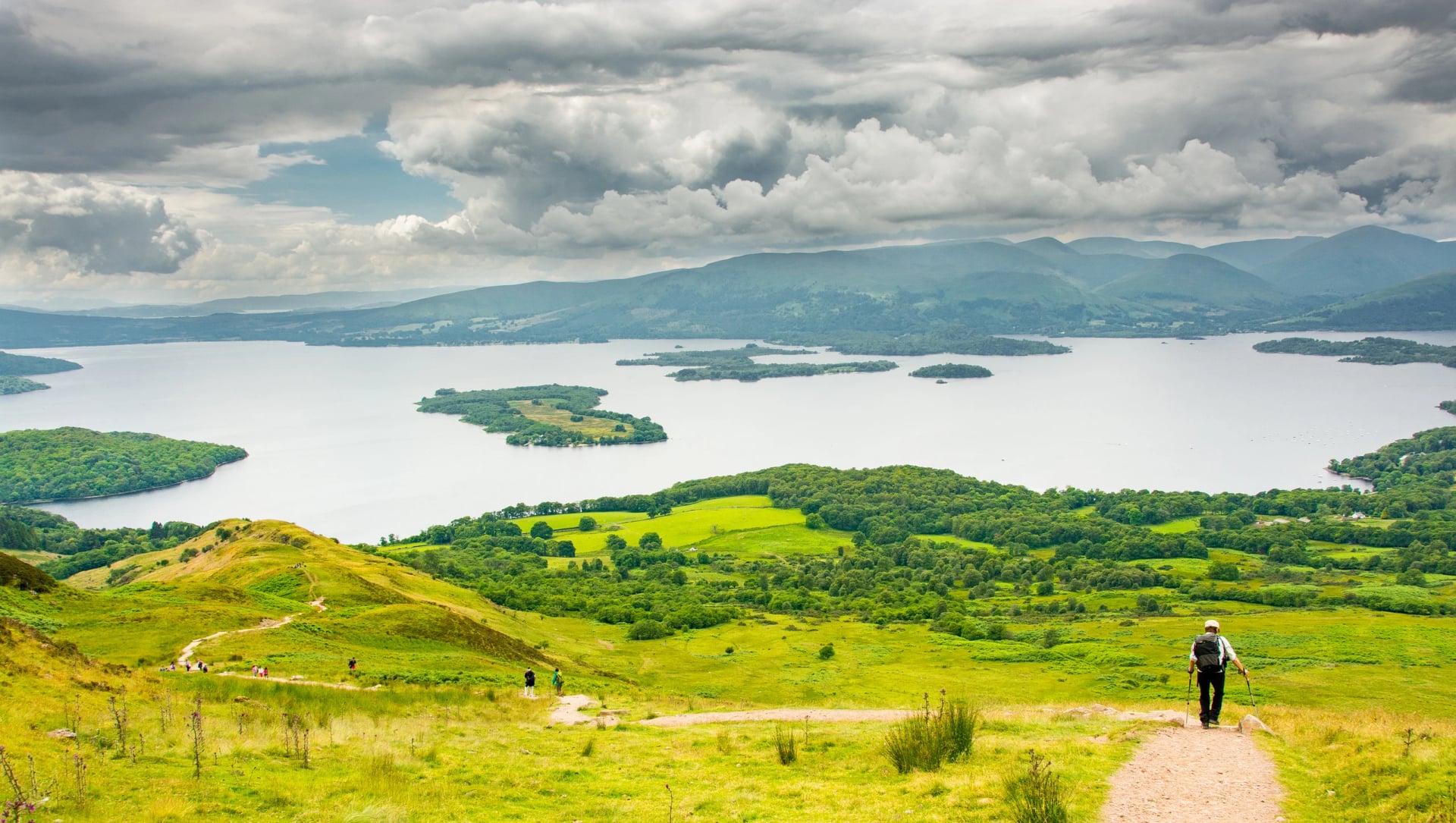
The view from Conic Hill is the first properly Highland one, with the loch's islands running away in a straight line below. That line is the fault itself breaking the surface. It is the clearest geology lesson on any British trail and it takes about ten seconds to understand.
After Balmaha the path turns north along the water and stays there for the rest of the day. At 540 metres of ascent this is the second biggest climbing day of the walk, and the second half is flatter than the first.
Rowardennan to Inverarnan
Distance: 22.5 km
Ascent: 500 m
Here is the stage people underestimate. The path along the upper east shore of Loch Lomond turns to root, wet rock and boulder, climbing and dropping constantly without ever gaining height.
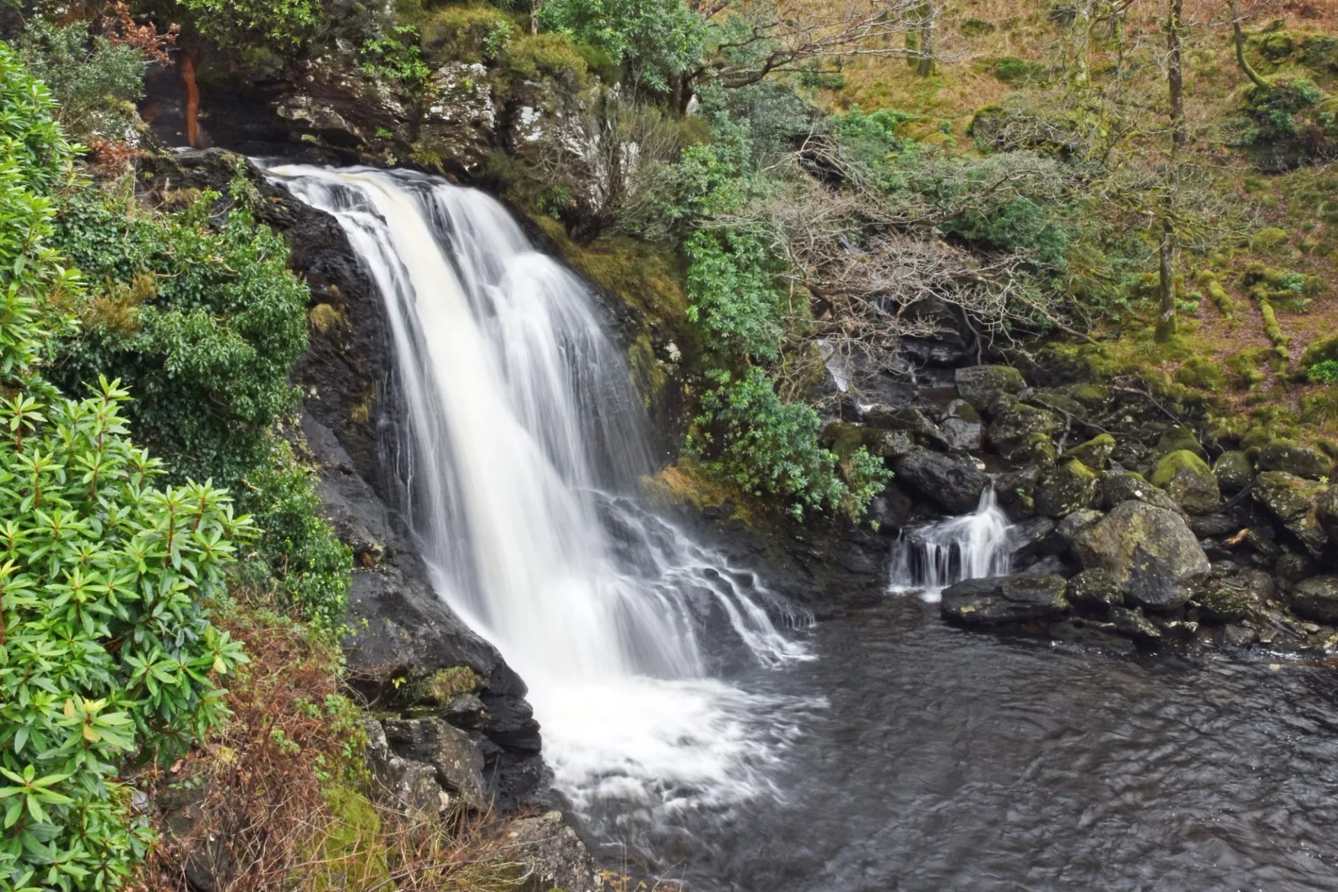
Twenty-two kilometres here takes longer than thirty elsewhere. Expect a pace nearer three kilometres an hour than five, and set the day up accordingly. Nobody is in danger and no skill is required. You just cannot move at your usual speed over ground like this.
The oakwoods are beautiful and the walking is awkward, both at the same time. Rowardennan to Inverarnan is the single most common reason a schedule falls apart on this trail.
Inverarnan to Tyndrum
Distance: 19 km
Ascent: 460 m
With the loch behind you the country opens out. The trail climbs Glen Falloch past a run of waterfalls, crosses to Crianlarich, then follows forestry track and old drove roads north to Tyndrum.
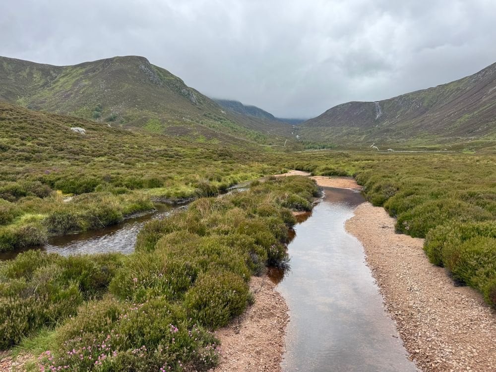
This is the transition day: the last of the enclosed woodland and the first of the big open ground. Underfoot it is straightforward after the shore, which makes 19 kilometres feel shorter than the same distance yesterday. The rhythm of the walk changes here.
Tyndrum is small and exists largely for people passing through on foot. It is also the last place to buy food until Kinlochleven, three nights later.
Tyndrum to Inveroran
Distance: 14 km
Ascent: 285 m
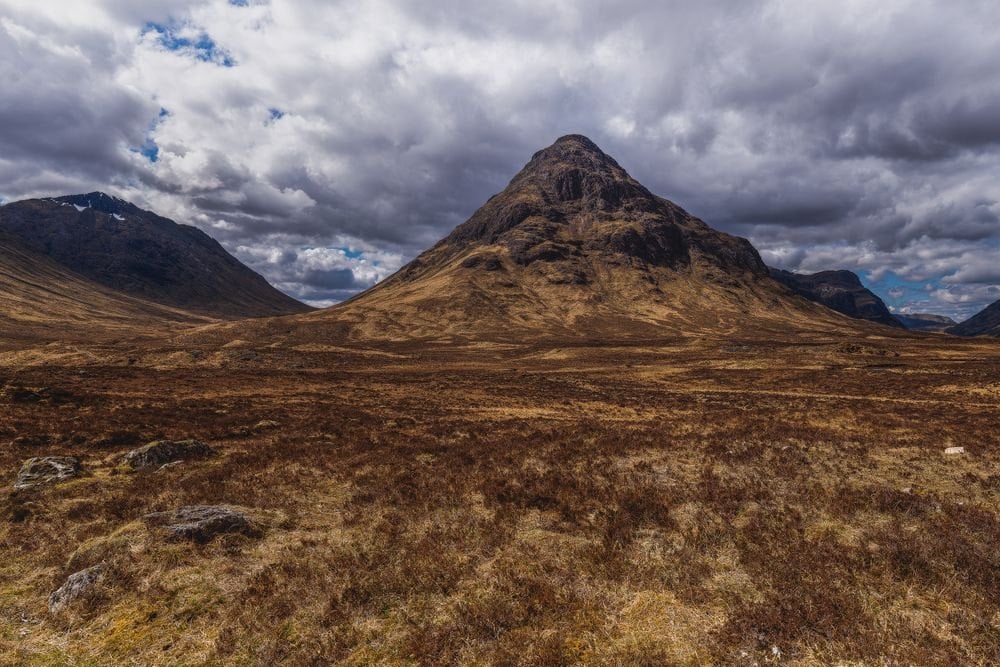
Take this one slowly, because it is the joint shortest stage on the trail and the easiest to enjoy. The route follows an old military road north with Beinn Dorain rising steeply to the right, a near-perfect cone that dominates the whole afternoon.
Bridge of Orchy arrives at about 11 kilometres, with its stone bridge over the river and a hotel that has been serving walkers for a long time. A short climb over the shoulder beyond it drops you to Inveroran.
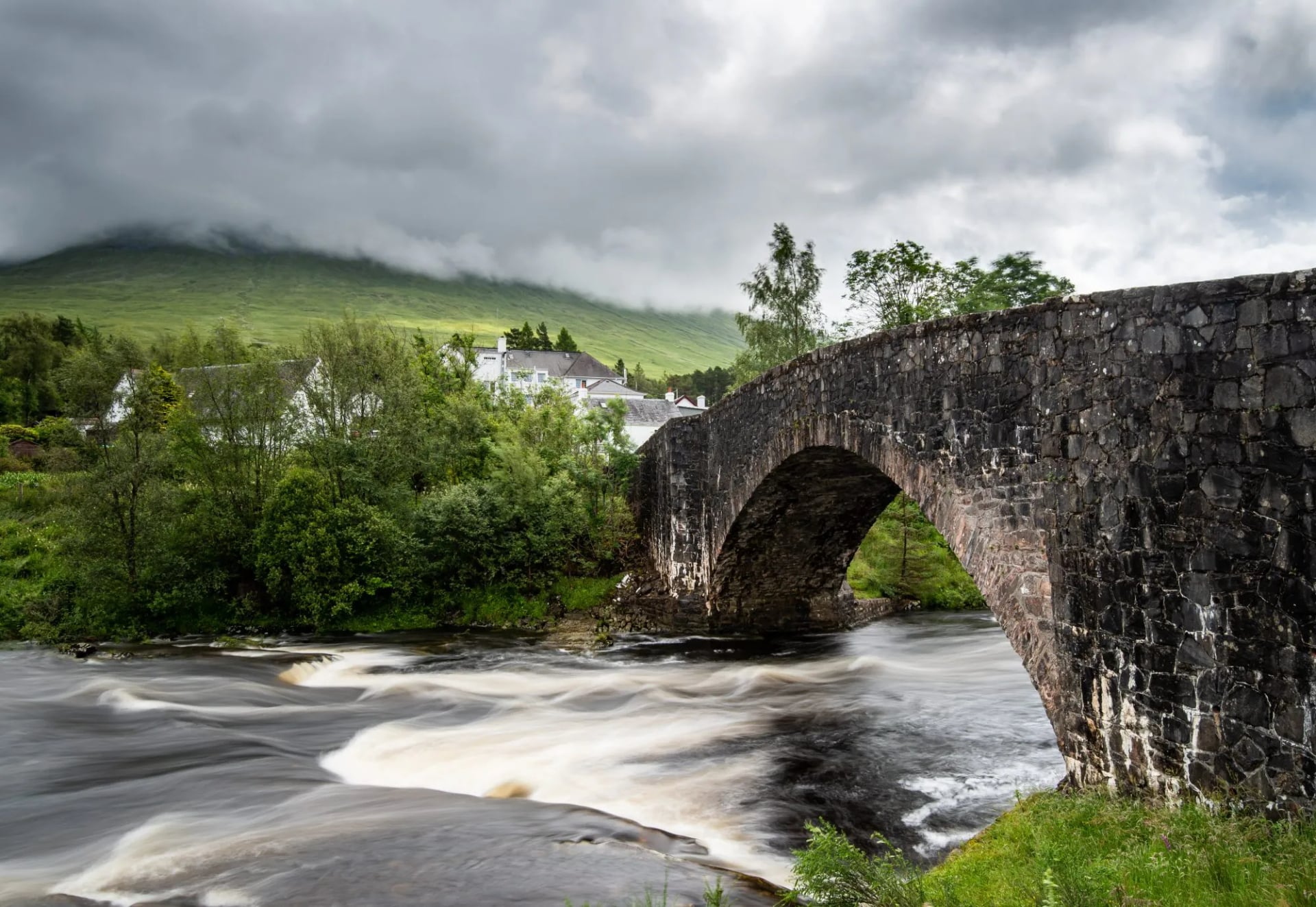
Fourteen kilometres makes this the joint shortest day of the eight. After the loch shore it reads as a rest day, and taking it as one is the right call before the moor.
Inveroran to Kingshouse
Distance: 15.5 km
Ascent: 300 m
Rannoch Moor is the emptiest ground on the walk. The trail crosses it on Caulfeild's military road, raised and cobbled in places, with no shelter and no exit for the entire crossing.
The moor is a wide bowl of peat, lochans and bog, ringed by mountains at a distance that never seems to close. In clear weather it is the most memorable day of the eight. In driving rain it is a long, exposed slog, and there is nothing in between.
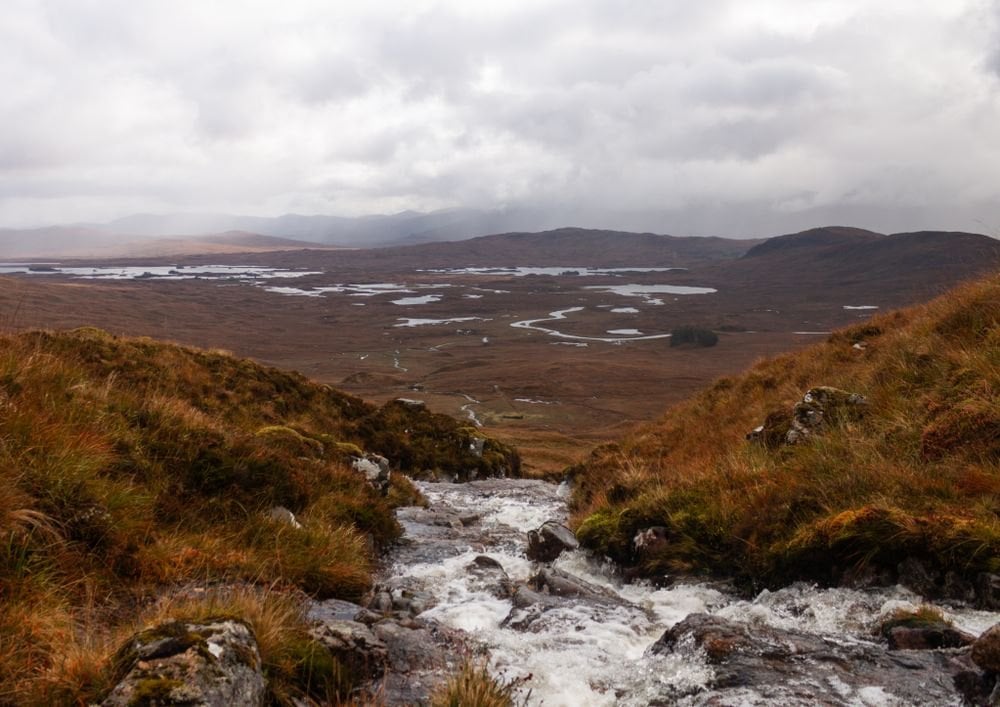
Check the summit forecast on the Mountain Weather Information Service before this stage rather than the valley one. There is no shelter for 15 kilometres and no way off. Kingshouse at the end is one of the oldest licensed inns in Scotland and sits alone at the head of Glen Coe.
Kingshouse to Kinlochleven
Distance: 14 km
Ascent: 355 m
Short, and the most dramatic day on the trail. Buachaille Etive Mor stands at the head of Glen Coe directly above Kingshouse, and the path runs beneath it before turning uphill.
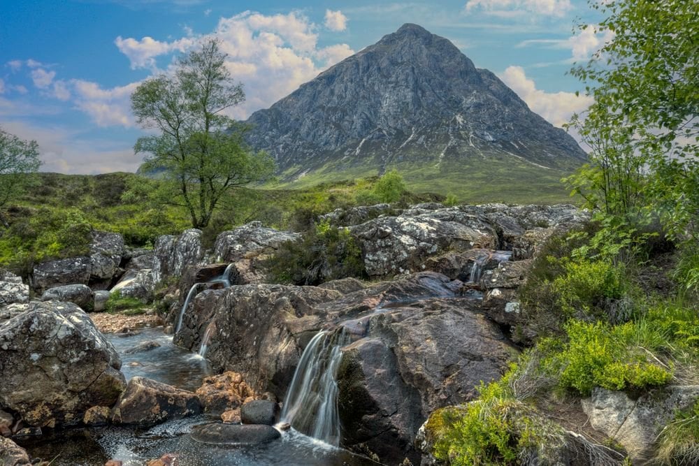
The Devil's Staircase reaches 550 metres, the highest point on the trail. The name oversells it considerably. It is a zigzag path with no exposure and no scrambling, and most walkers are surprised how quickly it is done.
The descent to Kinlochleven afterwards is the harder half: long, stony and unrelenting on the knees. The pipelines of the old hydro scheme come into view well before the village does.
Kinlochleven to Fort William
Distance: 24.5 km
Ascent: 695 m
Saved for last is the longest and hardest day. It climbs straight out of Kinlochleven onto the Lairig Mor, a high pass running for hours between bare hillsides with no habitation at all.
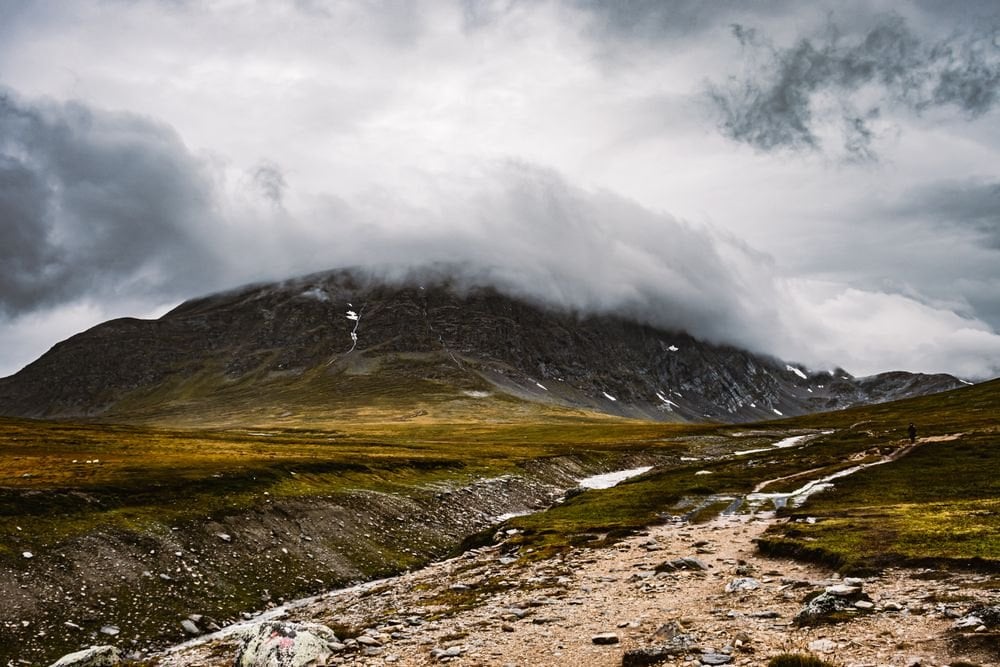
Forestry follows the pass, and then the descent into Fort William with Ben Nevis filling the view to the right. Nearly 700 metres of ascent on day eight is a real ask, and it catches people out because the profile looks gentle on a map.
Ben Nevis itself is a separate day and not part of the trail. At 1,345 metres it needs its own weather window and its own legs, so plan an extra night if you want it.
The Two Hard Sections
Every guide grades this trail moderate, which is fair on average and useless in practice. The difficulty sits almost entirely in two places. Knowing which two changes how you plan the week.
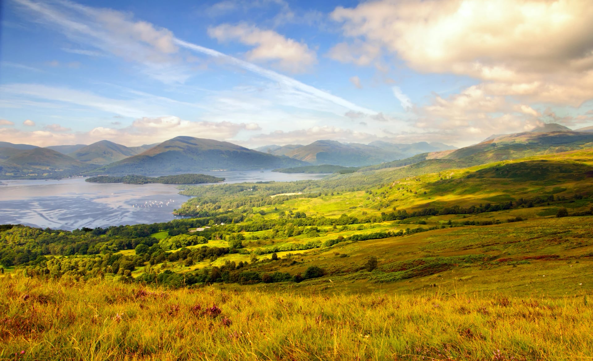
Loch Lomond's upper east shore is the slowest ground here. Between Rowardennan and Inverarnan the path becomes tree roots, wet rock and boulder scrambling, rising and falling constantly. It is not dangerous and it needs no skill, but it destroys schedules. Walkers who plan it at their normal pace arrive in the dark.
The final stage is the biggest single effort. Kinlochleven to Fort William is 24.5 kilometres with 695 metres of ascent, which is more climbing than any other day and about a fifth of the trail's total in one go. It arrives when you are seven days in.
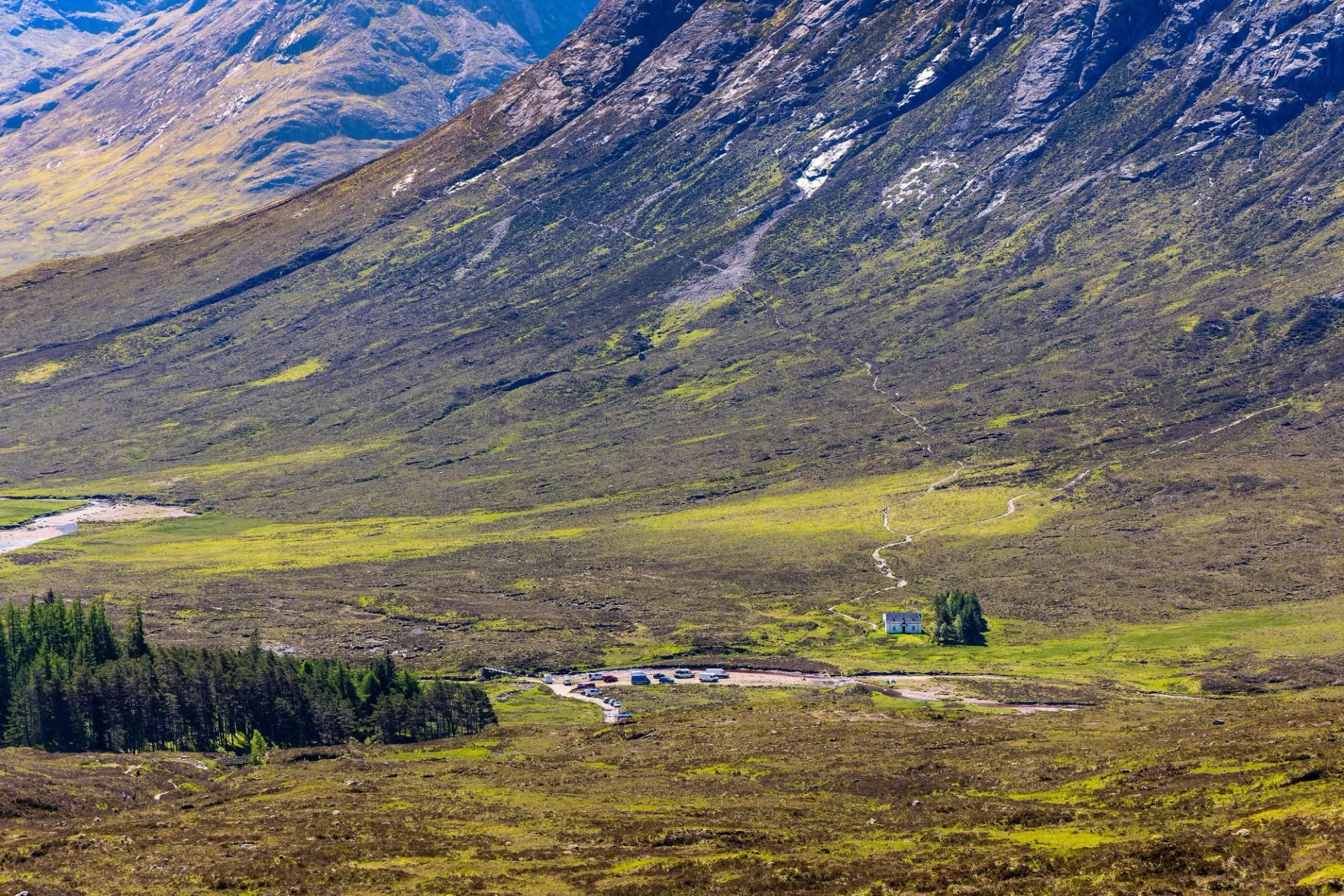
Everything else is straightforward. The Devil's Staircase is famous and comparatively easy, Rannoch Moor is flat and merely exposed, and the first two days are gentle. Plan for the shore and the finish and the rest looks after itself.
How Hard Is the West Highland Way
Harder than its reputation and easier than its ascent figures suggest. Our own routing grades the full traverse at fitness 4 of 5 and technical 3 of 5. That is the joint highest fitness grade on any Scottish trail in our range, level with the Rob Roy Way.
Nothing on the route needs a skill you do not already have. There is no scrambling, no exposure on the main line, no navigation problem to solve and no river to cross unbridged. It asks for eight consecutive days of 14 to 25 km, on ground that is rough for two of them.
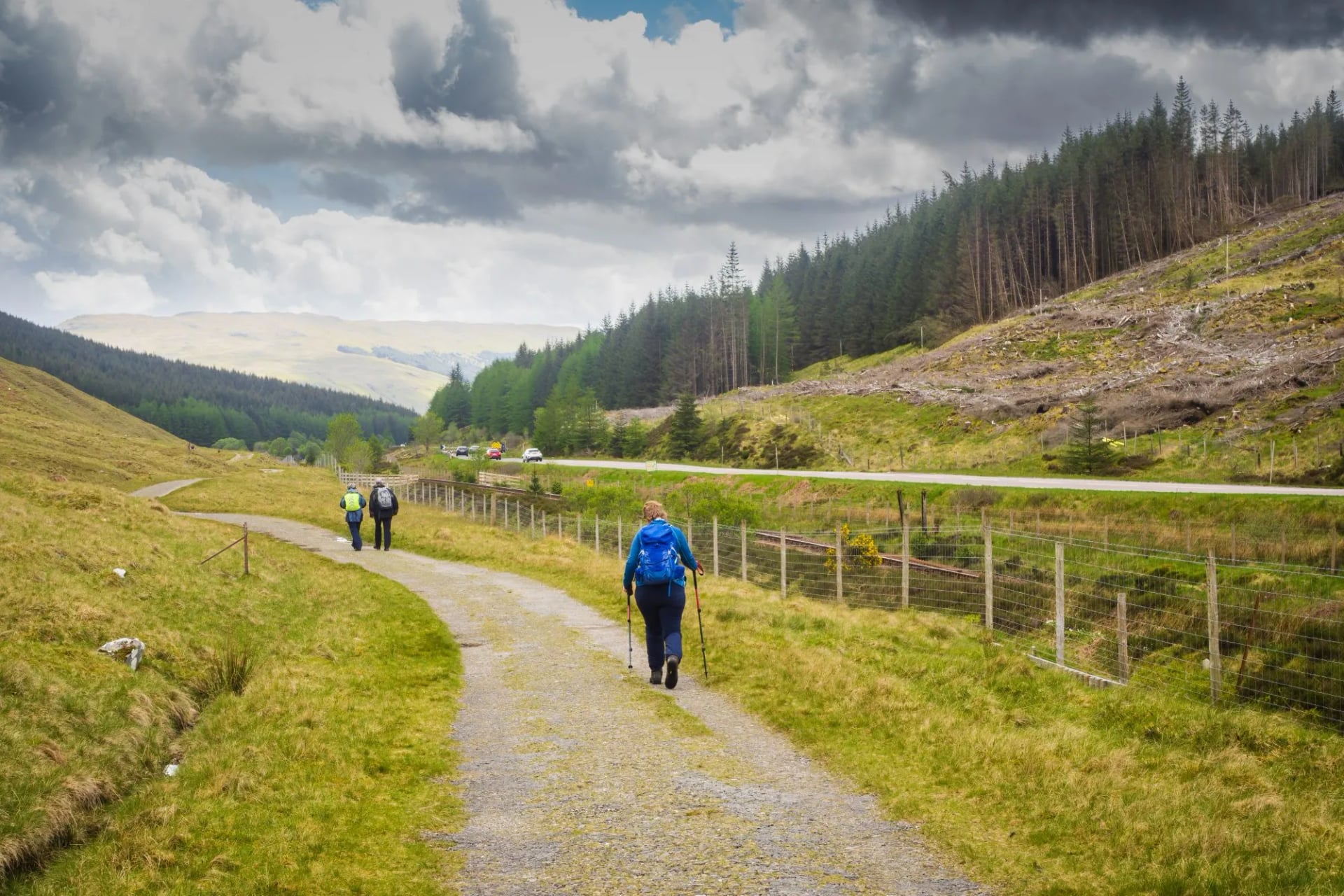
The people who struggle are almost never the least fit. They are the ones who trained for distance on pavement and met tree roots and wet rock on day three.
Which Direction to Walk
Almost everyone walks south to north, Milngavie to Fort William. The reasons are better than habit, and there are three of them. Only one argument runs the other way.
The trail gets steadily wilder in that direction, so the landscape builds instead of fading. The prevailing southwesterly is behind you for most of the week. And the gentle stages come first, which lets the early days train you for the last one.
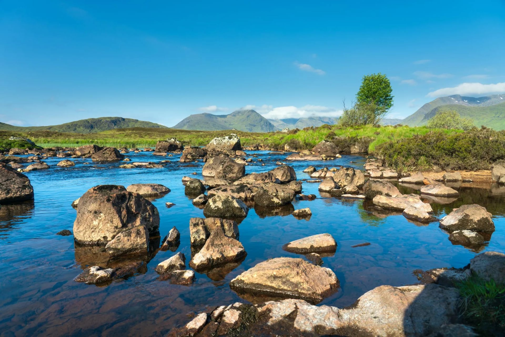
Walking north to south means finishing in a Glasgow suburb after starting under Ben Nevis at 1,345 metres. That is the wrong shape for a week. The only real argument for it is quieter accommodation, since you are moving against the flow of everyone else on the trail.
When to Walk the West Highland Way
May and September are the two best months, and the season runs April to October. May brings the longest settled spells and the least rain on average. September brings colour, space and the collapse of the midge.
June is excellent for daylight and increasingly busy. July and August bring the crowds, the school holidays and peak midge together, and the Loch Lomond woods and Kinlochleven are exactly the sheltered, damp ground midges prefer. Our guide to surviving midges on a hike covers the practicalities.
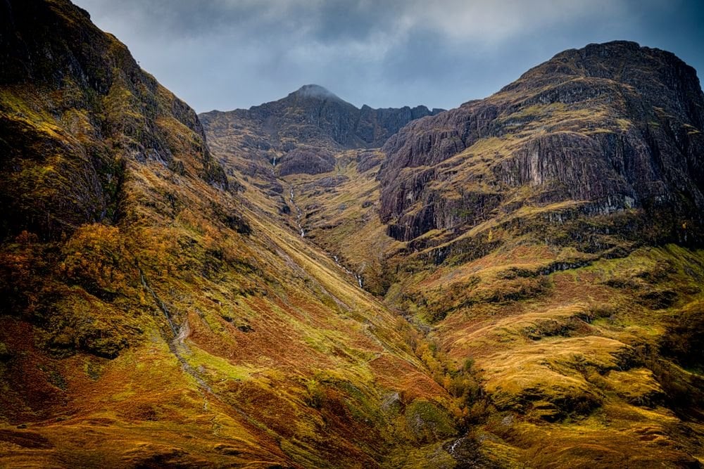
October is walkable but the daylight is short for a 24.5 kilometre final stage, and some accommodation closes. Winter turns the Devil's Staircase and the Lairig Mor into a different proposition, with snow cover and under seven hours of light. That is mountaineering rather than walking.
What You Are Walking On
Most of this trail is not a footpath. It is older infrastructure, and knowing what it is makes the week read differently.
Conic Hill and the Fault
The Highland Boundary Fault runs across Scotland from Arran to Stonehaven, and Conic Hill sits exactly on it. North of that line the rock is older and harder. That is why the mountains start abruptly instead of building gradually.
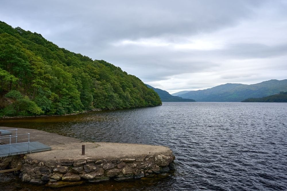
The islands below the summit are the same fault breaking the surface, which is why they run in a line rather than scattering. Loch Lomond is the largest body of fresh water in Britain by surface area at 71 square kilometres. Loch Ness on our Great Glen Way route is smaller on the map but holds far more water. Our Great Glen Way guide walks its whole length.
Caulfeild's Military Road
After the 1745 rising the government built roads into the Highlands to move troops quickly. Major William Caulfeild supervised the line from Fort William south over the Devil's Staircase and across Rannoch Moor between 1749 and 1752. Two summers of labour went into the moor section alone.
ScotWays still maps it as a heritage path today. The roads were cut to move soldiers, not to admire the view. That explains the gradients more than any modern path builder would.
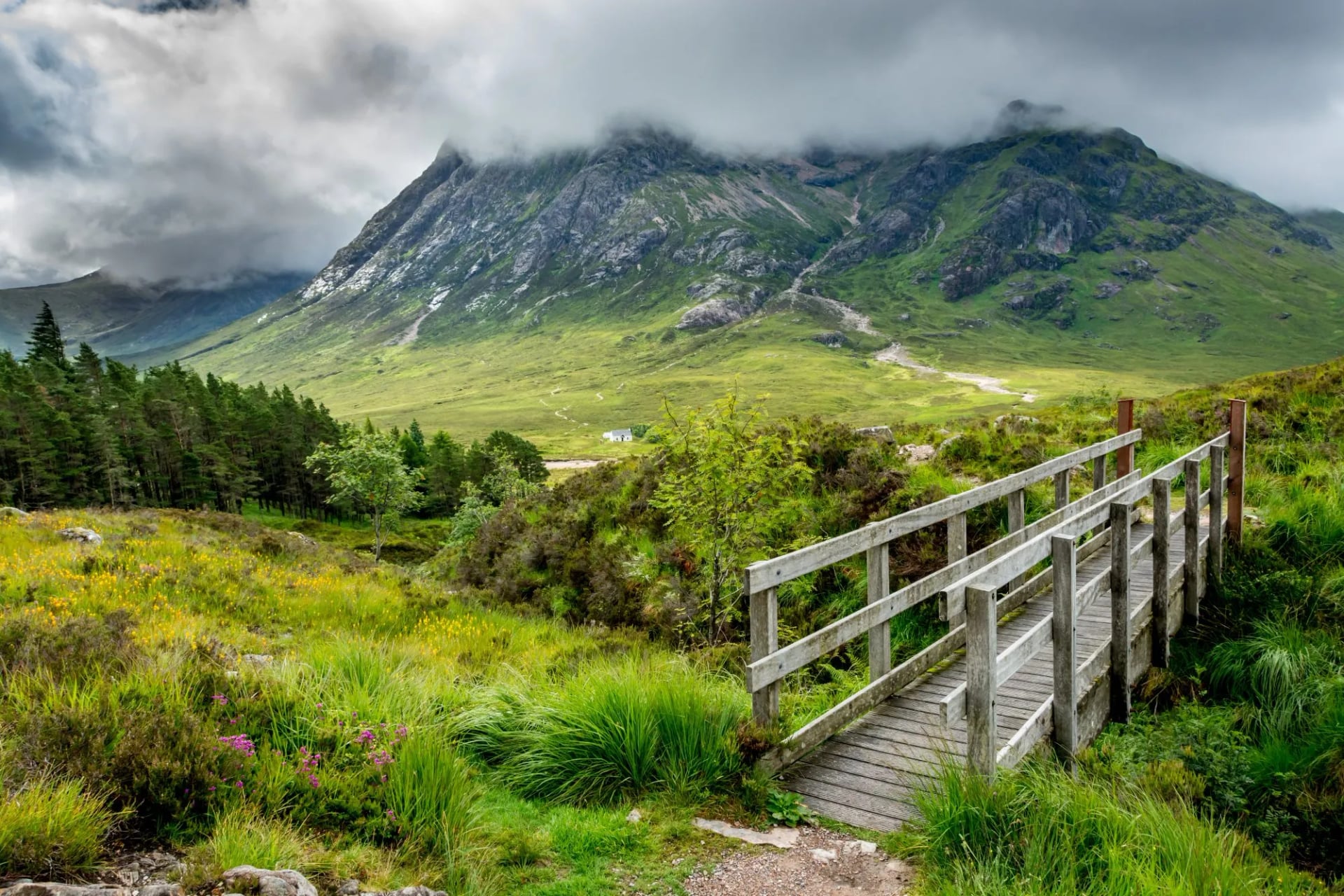
Much of the northern half of the trail is that road. The raised, cobbled sections on Rannoch Moor and the zigzags of the Devil's Staircase are 18th-century military engineering, not modern path building. It was designed for soldiers and pack horses, which is why it climbs the way it does.
Kinlochleven, the Electric Village
Kinlochleven exists because of aluminium. A hydroelectric scheme was built here between 1905 and 1909 to power a British Aluminium smelter. The village went up around it from nothing, on ground that had held almost no one.
It was among the first villages in the world where every house had electric light, at a time when Fort William did not. The smelter closed in 2000 and walkers replaced it, which is why the village now runs on boots rather than bauxite. The pipelines on the hillside above the town are still the first thing you see coming down off the Devil's Staircase.
West Highland Way Accommodation
Inns, hotels, guesthouses and B&Bs the whole way, with breakfast included as standard. There is no hut system and none is needed, because the trail reaches settlement every night. Rooms are private and en suite at the level we book.
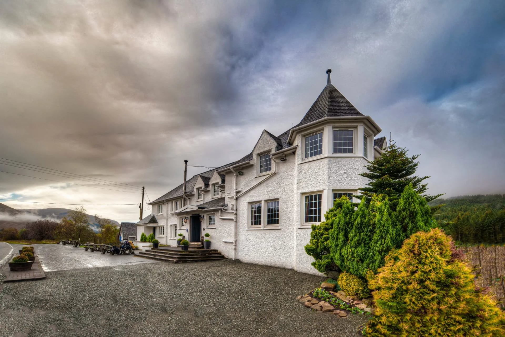
The stopping points follow the stages: Drymen, Rowardennan, Inverarnan, Tyndrum, Inveroran, Kingshouse, Kinlochleven. Rowardennan, Inveroran and Kingshouse are barely villages at all. Each holds a single hotel or a handful of rooms, and accommodation along the trail runs roughly Easter to October.
That is the whole booking problem. The small nights sell out first because there is no alternative within walking distance. Book those before anything else.
Getting There and Back
Milngavie is a 25 minute suburban train from Glasgow city centre, and the station sits a few minutes from the official start. That makes this one of the easiest long-distance trails in Europe to reach without a car. No transfer, no hire, no parking to recover at the end.
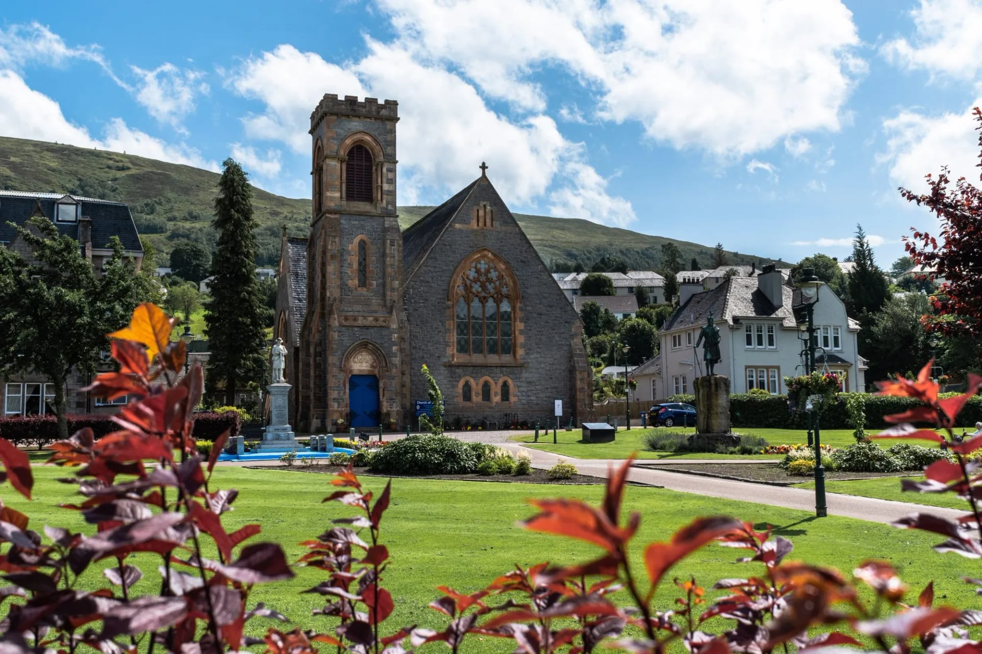
Fort William at the far end sits on the West Highland Line, about four hours by train from Glasgow and one of the great rail journeys in Europe. A sleeper service runs overnight to and from London. Between them you can reach most of Britain the same day.
Buses run the A82 the length of the route and serve most overnight stops. A stage can therefore be shortened or skipped without unpicking the rest of the week. That matters most on the Loch Lomond shore and the final day.
What the Walk Costs
The walking itself is free. Scotland charges no trail permit, no access fee and no national park entry anywhere on this route. The right of responsible access covers the whole line of the trail.
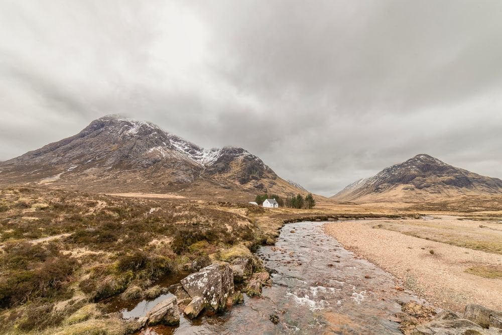
What you pay for is beds, baggage transfer and getting to Milngavie. Accommodation is the dominant cost and the least flexible. Several stops hold a single property, so price competition barely exists from June to August.
Booking early saves more than shopping around. Six months ahead is normal on this trail rather than cautious, and the single-property stops go first of all. Getting to Milngavie costs no more than a suburban train ticket.
Live prices for our own trips sit on each tour page, because the site prices by region. Baggage transfer is included rather than bought separately. That removes the one cost most walkers forget to budget for.
Packing for the West Highland Way
A low-level trail with two rough sections, so the kit list is shorter than for the Scottish hills but not by much.
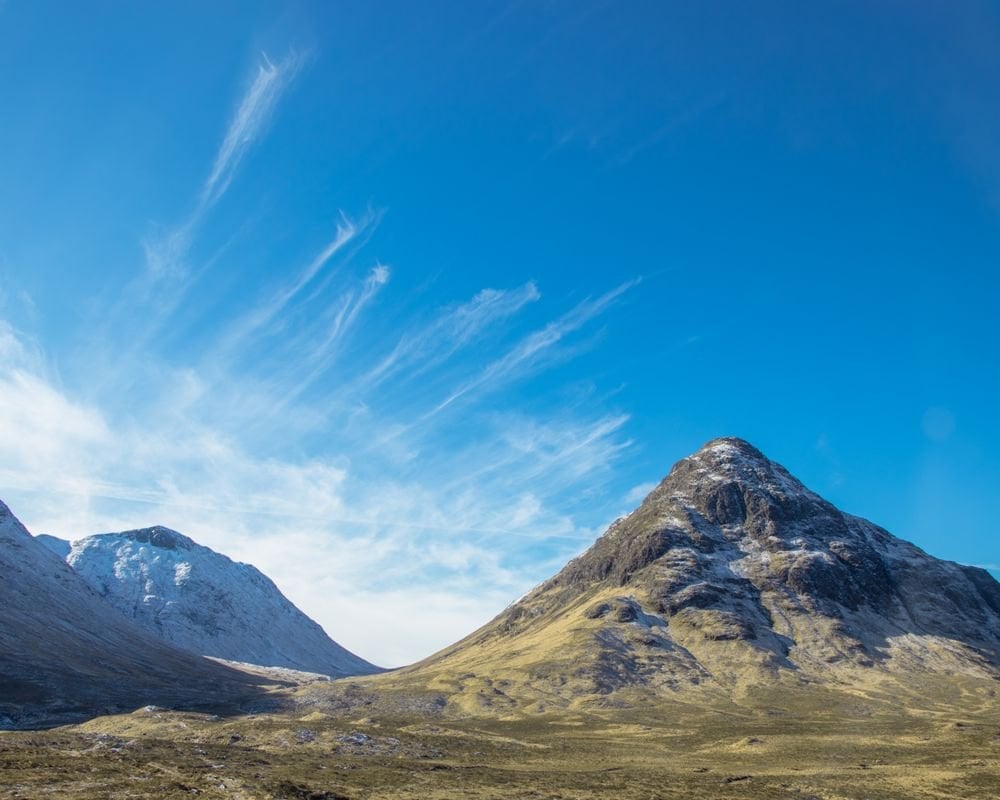
Waterproof jacket and overtrousers, because the west coast weather arrives with little warning and Rannoch Moor has no shelter.
Boots rather than trail shoes. The Loch Lomond shore is roots and wet rock, and the descents off the Devil's Staircase and the Lairig Mor are long and stony.
Trekking poles are worth carrying on this trail, for the loch shore and both long descents.
Midge repellent and a head net from June to August, especially at Rowardennan and Kinlochleven.
Two litres of water capacity, because Rannoch Moor and the Lairig Mor both run for hours with nothing open.
A power bank, because signal is patchy from Inverarnan north, and navigation apps drain a phone fast.
Ticks, Shops and Rescue
Six things specific to this trail, none of which appear on the scenery pages.
Day three is the one that breaks schedules. Rowardennan to Inverarnan walks far slower than its distance, so start early and do not book anything for that evening.
Kingshouse and Inveroran have almost no beds. These are single-property stops, and they are the first to sell out for the whole season.
Ticks are present from Drymen northwards. The bracken and oakwoods along Loch Lomond are prime habitat, so check every evening and carry a remover, because correct removal matters more than prevention.
There is no shop between Tyndrum and Kinlochleven. That is roughly 44 kilometres and three nights, so buy what you need in Tyndrum.
The Devil's Staircase is not the hard part. People brace for it all week and then find the last day is what hurts.
Mountain rescue is free and voluntary. You are not billed for a callout, but the teams are volunteers, so leave your route with someone.
Our West Highland Way Tours
Two self-guided trips on this trail, and they are the same walk at different lengths rather than competing itineraries. Both were built around the stage figures above. Both are inn to inn with luggage moved each morning, a digital guidebook with GPS routing, and support on the phone.
West Highland Way
The full traverse over eight walking days and ten days in total, Milngavie to Fort William. Every stage above, in order, including both hard sections.
This is joint most demanding Scottish week in our range, alongside the Rob Roy Way, at fitness 4 of 5. It is also the only one that delivers the whole Lowland to Highland transition, which is the reason to walk this trail rather than another.
Walking days: 8, over 10 days and 9 nights
Daily distance: 14 to 24.5 km
Ascent: 190 to 695 m a day
Grade: fitness 4 of 5, technical 3 of 5
Season: April to October
West Highland Getaway
Three walking days on the northern half, Bridge of Orchy to Fort William, at fitness 2 of 5 against the full traverse's 4. It takes Rannoch Moor, the Devil's Staircase and the Lairig Mor and leaves out the slow loch shore.
For a long weekend, or a first taste of Scottish long-distance walking, it delivers the set pieces without the two sections that cause trouble. The daily distances are 17, 16.3 and 23.7 kilometres.
Walking days: 3, over 5 days total
Ascent: 420 to 650 m a day
Grade: fitness 2 of 5, technical 2 of 5
Season: April to October
Frequently Asked Questions
Walking the West Highland Way
Walk it south to north, in May or September, and train on rough ground rather than pavement. Book Rowardennan, Inveroran and Kingshouse before anything else, because those three nights decide whether the trip happens at all. Everything else on the route has alternatives.
If you want the beds, the baggage and the route notes arranged, our West Highland Way trip covers the full traverse over ten days. For a long weekend the West Highland Getaway takes the best of the northern half. Both run April to October.
It is worth weighing both against the rest of our UK hiking tours before committing to a week. The Great Glen Way is the gentler alternative if eight days at this grade sounds like too much. It runs half the ascent over similar distances.
If you would rather we shaped the stages around the days you actually have, get in touch with our team →

About this author
Suzana is our travel advisor and a hiker who believes the best trails aren't just about the summits. She loves spotting alpine plants, watching wildlife, and the laughs, chats, and snack breaks that make every trail worth walking.











.jpg&w=828&q=75)




















































.jpg&w=828&q=75)























