Picos de Europa: The Compact Alps of Northern Spain
Sheer limestone gorges, refugios above 2,000 m, Cabrales cheese and Spain's greenest walking, all in a 40-km-wide range. Here's how to hike the Picos de Europa.

Ajda
Published October 1, 2026
Edited October 1, 2026
10 min read
Don't want to read all this?
We've planned 2,000+ hiking trips. Send your dates, fitness and group size — we'll map the route and book every night.



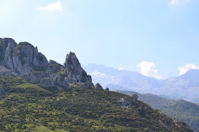
The Picos de Europa got their name from 16th century Spanish sailors returning from the Americas. After weeks of Atlantic crossing, these sharp limestone summits on the Cantabrian coast were often the first European land they'd see — literally translated to the Peaks of Europe.
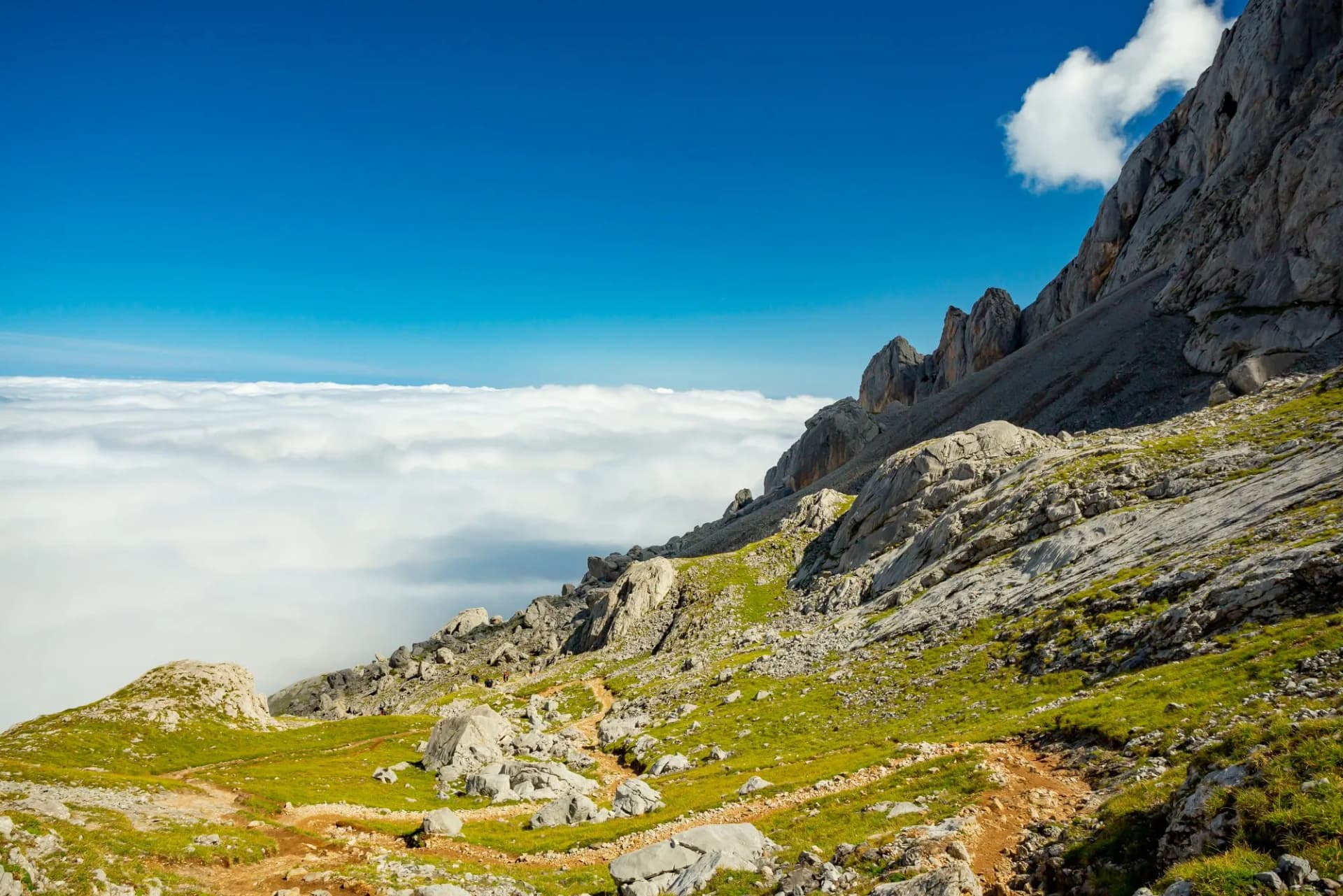
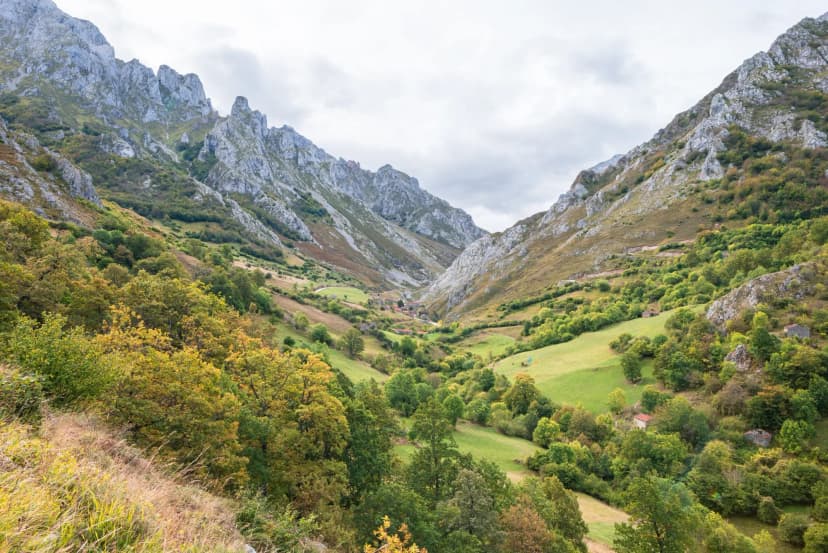
Nearly five centuries later the name still fits. This is a 40-kilometer-wide massif that packs Alps-scale drama into a range you can drive across in an hour, and it's one of very few serious mountain-hiking destinations in Spain that stays walkable through the height of summer.
We gathered everything you need to plan a hike here — the three massifs, the Cares Gorge and its alternatives, the refugio system, when to go, and how the range's Atlantic weather shapes the trip.

At a Glance
Location | Cantabrian coast, spanning Asturias, Cantabria, and León in northern Spain |
Highest peak | Torre Cerredo (2,650 m), in the Central Massif |
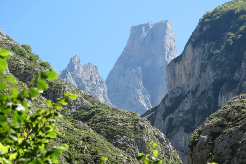
Iconic landmark | Naranjo de Bulnes / Picu Urriellu (2,519 m) |
Signature walk | the Cares Gorge — 12 km through 300 m limestone walls |
Three massifs | Cornión (west), Urrieles (central), Ándara (east) |
Best season | May–June and September–October (walkable May–October) |
Difficulty range | 2/5 (Cares Gorge) to 4/5 (hut-to-hut and summit routes) |
Nearest airports | Bilbao (2 h by road) or Santander (1.5 h) |
The Three Massifs
The Picos pack alpine character into a remarkably tight footprint, and that compactness makes sense once you understand the range is split into three distinct massifs, divided by two rivers cutting north to south. The Cares separates the Western and Central massifs; the Duje separates the Central from the Eastern. Between them, the three sub-ranges deliver completely different walking experiences within the same national park.
The Cares Gorge
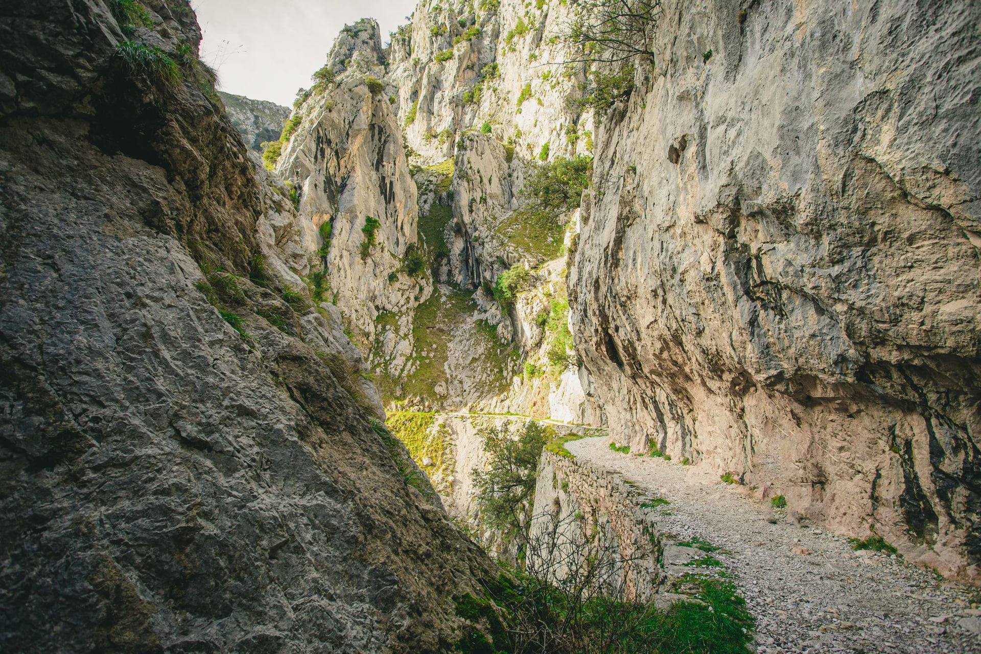
If you only have a day in the Picos, a hike to the Cares Gorge is the one to pick. Twelve kilometers of trail cut into a limestone cliff face between 1916 and 1921 to service the hydroelectric channel that still runs beside it, widened into today's path in the 1940s, and now the single most-walked hiking route in northern Spain. The path threads tunnels, crosses arched bridges, and holds tight to the cliff wall with the Cares river 300 meters below for most of its length.
The classic direction is Poncebos to Caín, walking north to south, from Asturias into León along the gorge that divides the Western massif from the Central one. It's flat by Picos standards — under 400 m of ascent — but the exposure is real and the drops are unforgiving. Do not walk it in ice, in wind above about 40 km/h, or with young children on the outside edge. Buses and shared taxis link the two ends, so most walkers do it one way rather than out-and-back.
The main problem with the Cares is popularity. In peak summer the trail carries thousands of walkers a day, which turns the narrow sections into single-file queues. Start at dawn, walk in shoulder season, or accept that the crowds are part of the experience.
The Central Massif Hut-to-Hut Loop
For hikers who want the range's most dramatic walking on a compact schedule, the four-day loop around Naranjo de Bulnes in the Central Massif is the flagship route. It starts and ends at the mountain village of Sotres and covers roughly 52 km with 3,400 m of ascent across two nights in refugios and one back down in the valley:
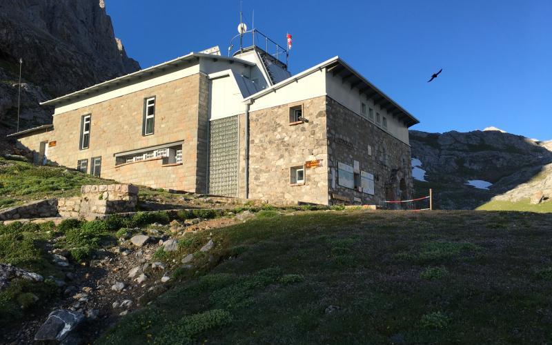
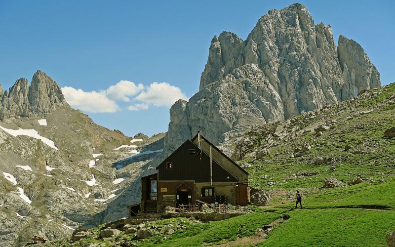
Sotres → Refugio Vega de Urriellu — 10 km, +1,170 m; a steep climb past the abandoned village of Invernales del Texu to the iconic hut at the foot of Naranjo.
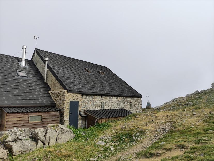
Vega de Urriellu → Refugio Collado Jermoso — 9 km, +770 m; ridge crossing beneath Torre de los Horcados Rojos to a hut hanging on a knife-edge shoulder.
Collado Jermoso → Espinama — 17 km, +580 m / −1,800 m; a long descent through the Vega de Liordes glacial valley to the Fuente Dé cable car and the village of Espinama.
Espinama → Sotres — 16 km, +870 m / −720 m; the closing loop back over Portilla del Boquejón and down the Duje river valley.
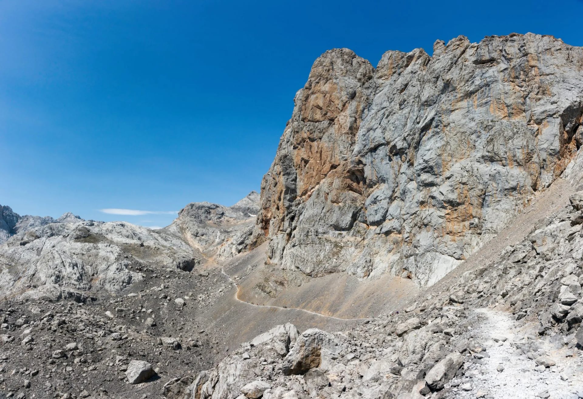
This is the trip that makes the whole range legible in four days: the west side of Naranjo, the ridge east of it, the descent to Fuente Dé, and the Duje valley on the return. It's rated 4/5 technical and 3/5 fitness on our scale — no scrambling but real exposure on the ridges.
Refugios: Where You Will Sleep
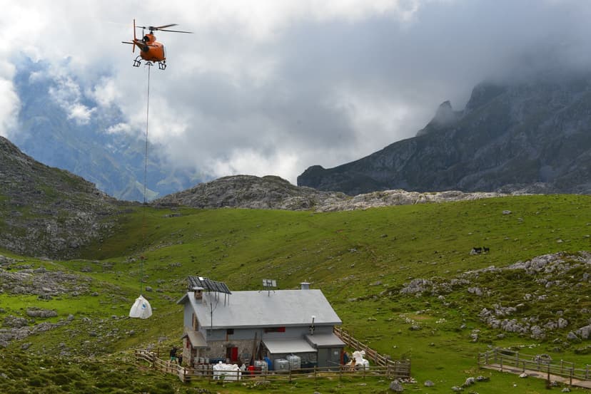
Sleeping high is a large part of what a Picos trip is for. The refugios are run by the regional mountain federations — FEMPA on the Asturian side — and booked through the shared Picos refuge reservation system rather than one by one. They range from Alpine-style comfort to genuinely spartan, and the beds for July and August go early, so book as soon as the season’s dates are published.
Good to Know
Green Spain weather
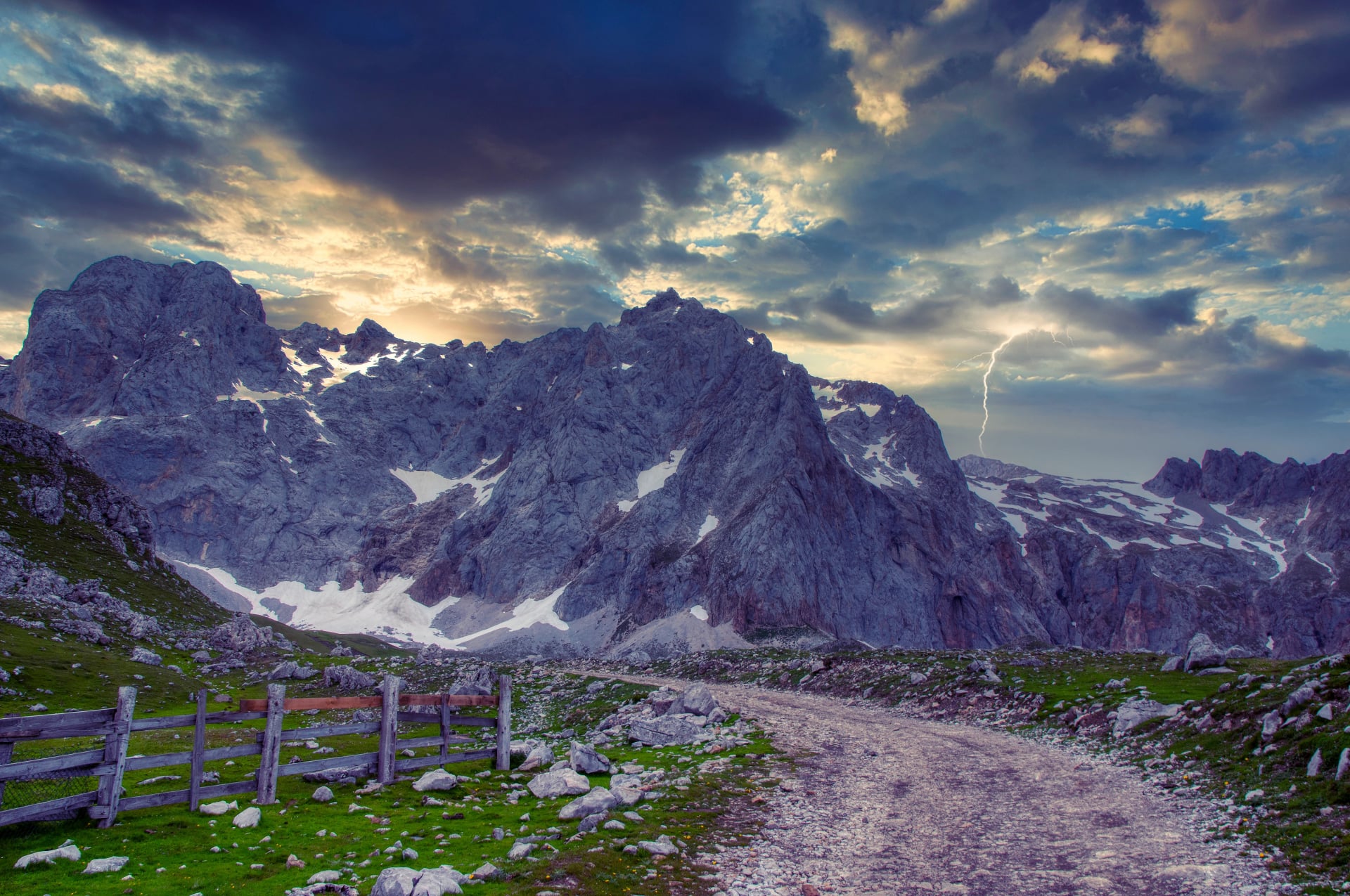
The trade-off for cool summers is real weather even in August. The Picos sit in Green Spain — the north-facing Cantabrian belt that catches Atlantic moisture and stays green through the year — which means cloud on the ridge is common, sudden rain rolls in from the north-west, and afternoon thunderstorms are more likely in July than in most of the rest of Spain. Trails stay open but visibility on the summits drops fast. Carry waterproofs even on a clear morning, and start early on ridge days.
Water on the range
The limestone karst absorbs water fast, which means fewer natural surface sources than you'd expect on such a wet range. Refugios collect rainwater in cisterns and are usually generous about refills, but between stages the trail passes almost no springs. Carry two to three liters between refugios, and don't rely on melt or seasonal streams even in wet weather.
Cabrales, cheese caves, and cider
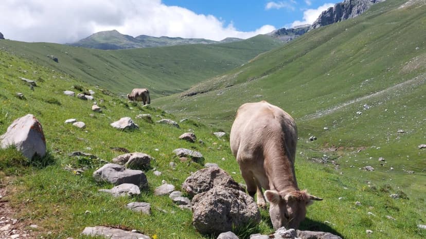
The mountain villages of the Central Massif produce Cabrales — a raw-milk blue cheese aged two to four months in the limestone caves around Sotres and the Cabrales valley. Sharper and more assertive than most French or Italian blues, it appears on every refugio menu and every valley restaurant table.
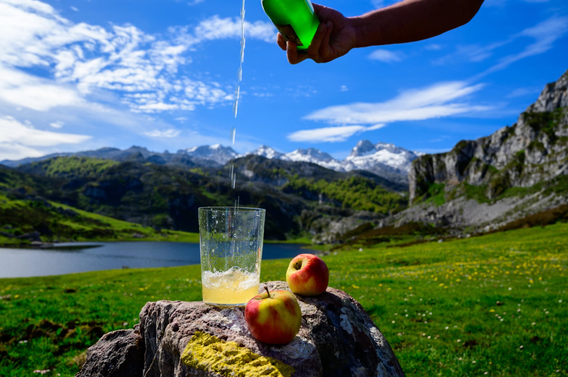
The other Asturian trail staple is sidra, poured from arm's length above the head into a wide-mouthed glass to aerate the fresh cider. Traditional sidrerías in Cangas de Onís, Potes and Cabrales serve it escanciada — one glass at a time, drunk immediately before it flattens. Both are cheap, both are worth planning meals around.
How Difficult are the Picos?
The Picos have the widest difficulty range of any Spanish hiking destination — from cable-car top-station walks that would suit a family to genuine mountaineering routes that need a rope. What matters is picking the trip that matches your fitness.
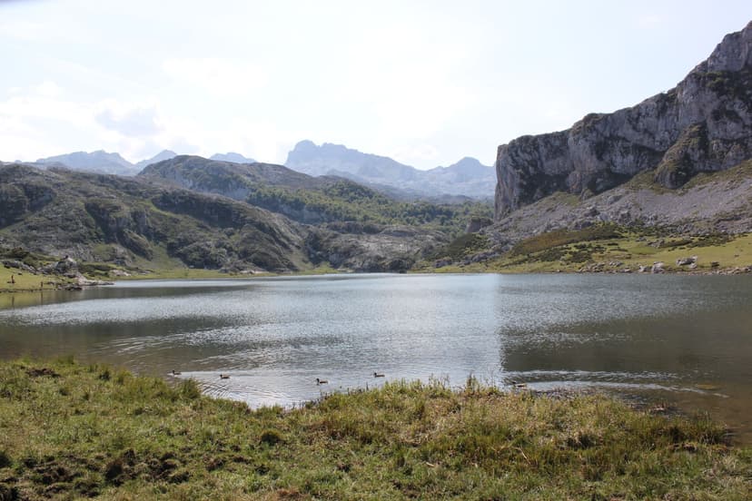
At the accessible end, the Cares Gorge and short walks around Covadonga and the lakes of Enol and Ercina are moderate day-walks in the 2/5 range. Suitable for anyone with a base hiking fitness.
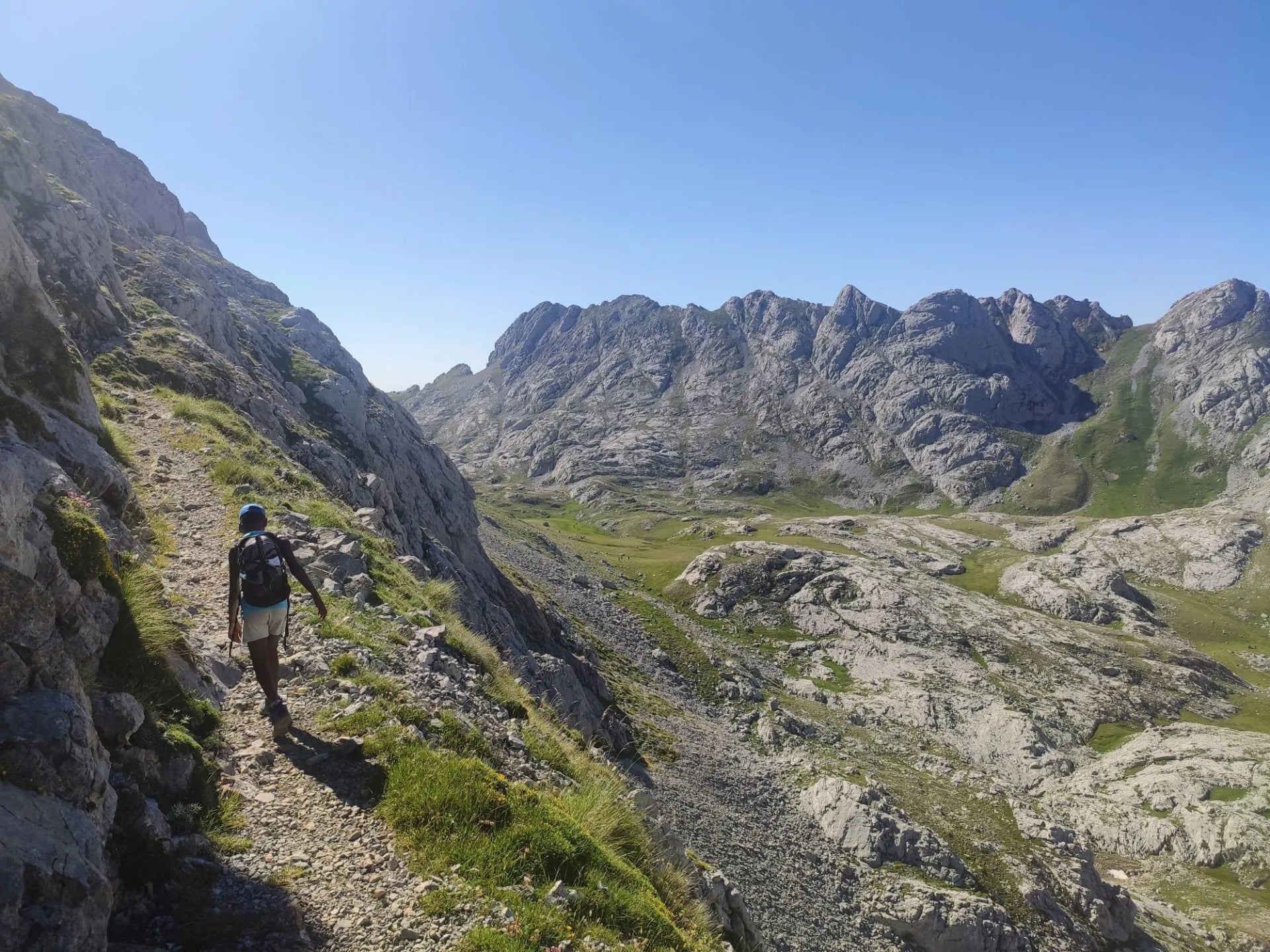
Multi-day hut-to-hut loops in the Central Massif — the Naranjo circuit, the Vega de Ario traverse — are 3/5 to 4/5. Expect days of 8–17 km with 800–1,200 m of ascent on rocky ground, and real exposure on ridge sections. No scrambling on the marked trails, but the drop-offs are honest and the weather can turn.
Summit routes, including the Naranjo south face and the Torre Cerredo ridge, are climbing rather than walking — via ferrata skills, ropes, or a guide are required. These are outside the scope of a walking trip.
If you can happily walk 7 hours with significant ascent and back it up the next day, the hut-to-hut loop is well within reach.
When to Hike
Season shapes the trip more than in most Spanish ranges — most refugios are staffed only through the walking season, and the high routes ice over quickly in October.
May–June: The best window. Wildflowers on the pastures, mild temperatures, and refugios opening from mid-June. Some north-face snow may linger into early June on the highest passes.
July–August: Peak crowds, especially in the Cares Gorge and at Vega de Urriellu. Refugios book out — reserve at least three months ahead. Days are warm but mornings and evenings above 2,000 m stay cool.
September–October: The second-best window. Cooler, quieter, and the light turns amber on the limestone. First snow possible on the ridges by mid-October, and refugios begin closing around the third week.
November–April: Most refugios are unstaffed, though a few keep a winter vivac room open. The range is for winter mountaineers rather than walkers.
Getting There and Base Villages
Two airports serve the Picos comfortably: Bilbao (BIO) to the east, about a two-hour drive to Sotres, and Santander (SDR) on the coast, about 1.5 hours to Fuente Dé. Both have direct flights from most northern European hubs. Renting a car is by far the most practical way in — public transport into the mountain villages is thin.

The base village you pick shapes the trip:
Sotres — mountain-village base for Central Massif hut-to-hut loops. Small, remote, and closest to Naranjo.
Espinama and Fuente Dé — base for cable-car access to the Central Massif and for hikes on the Cantabrian side. Best for shorter walking trips.
Poncebos — starting point for the Cares Gorge and for Bulnes village (accessible only by funicular or footpath).
Covadonga — Western Massif base with the famous shrine and the alpine lakes Enol and Ercina.
Potes — the biggest tourist town in the eastern approach, with restaurants, ATMs, and daily buses. Good if you need creature comforts as a break between hikes.
Planning Made Simple
The Picos de Europa reward hikers who plan the refugios early and the weather forecast late. The Central Massif huts fill months ahead in July and August, the Cares Gorge is best walked outside high summer, and the range's Atlantic weather means the forecast for the morning of your ridge day matters more than the outlook for the week.
The range can be walked independently — bookings, GPS files, and local buses are all manageable with preparation. A self-guided trip with support removes the load while keeping your freedom to walk at your own pace. On ours, we:
book every night's accommodation across the refugios and valley hotels,
arrange transfers from Bilbao or Santander to the trailhead and back,
provide GPS navigation, a digital guidebook, and detailed refugio notes, and
offer support in English throughout the hike.
Keep planning with our overview of Spain hiking tours, and see the Pueblos Blancos Hike for a completely different Spanish walking week in the shoulder season.

About this author
Ajda is our travel advisor, raised in a village surrounded by mountain peaks. Hiking entered her life early on and remains her favorite way to reconnect with nature.













.jpg&w=828&q=75)




















































.jpg&w=828&q=75)























