Camí de Ronda Trail: Walking the Coves of the Costa Brava
The Camí de Ronda is not one trail but old customs paths strung along 200 km of the Costa Brava. Six sections worth walking, and the nine-day Girona circuit.

Suzana
Published September 21, 2026
Edited September 23, 2026
26 min read
Quick links
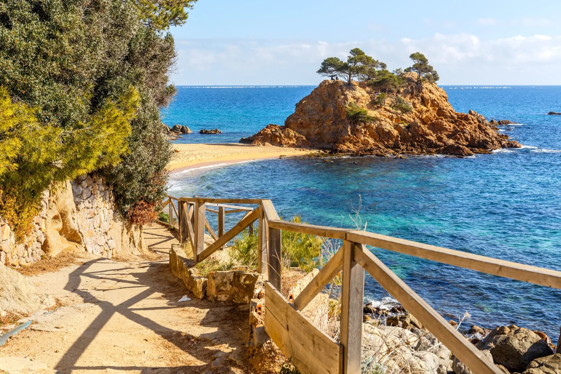
The Camí de Ronda trail was not built for walkers. It was cut for customs men: from 1829, Spain's coastal police corps put patrols along this shoreline to watch for contraband coming ashore, and their work was fer la ronda, to make the rounds. The path is named after the patrol, and it still goes where the smugglers landed, hugging the cliff edge, dropping into every cove and climbing over every headland instead of cutting sensibly inland.
There is also no single Camí de Ronda. These paths survive in pieces along 200 km of the Costa Brava, between Blanes north of Barcelona and Portbou on the French border, in sections running from about 7 km to 21 km. Some have been rebuilt as polished seafront promenades; others are still rough tracks down to coves with no road to them. The waymarked GR92 uses them wherever they survive, which is why the two names get treated as one thing, and why choosing the right section matters more here than on any mountain trail.
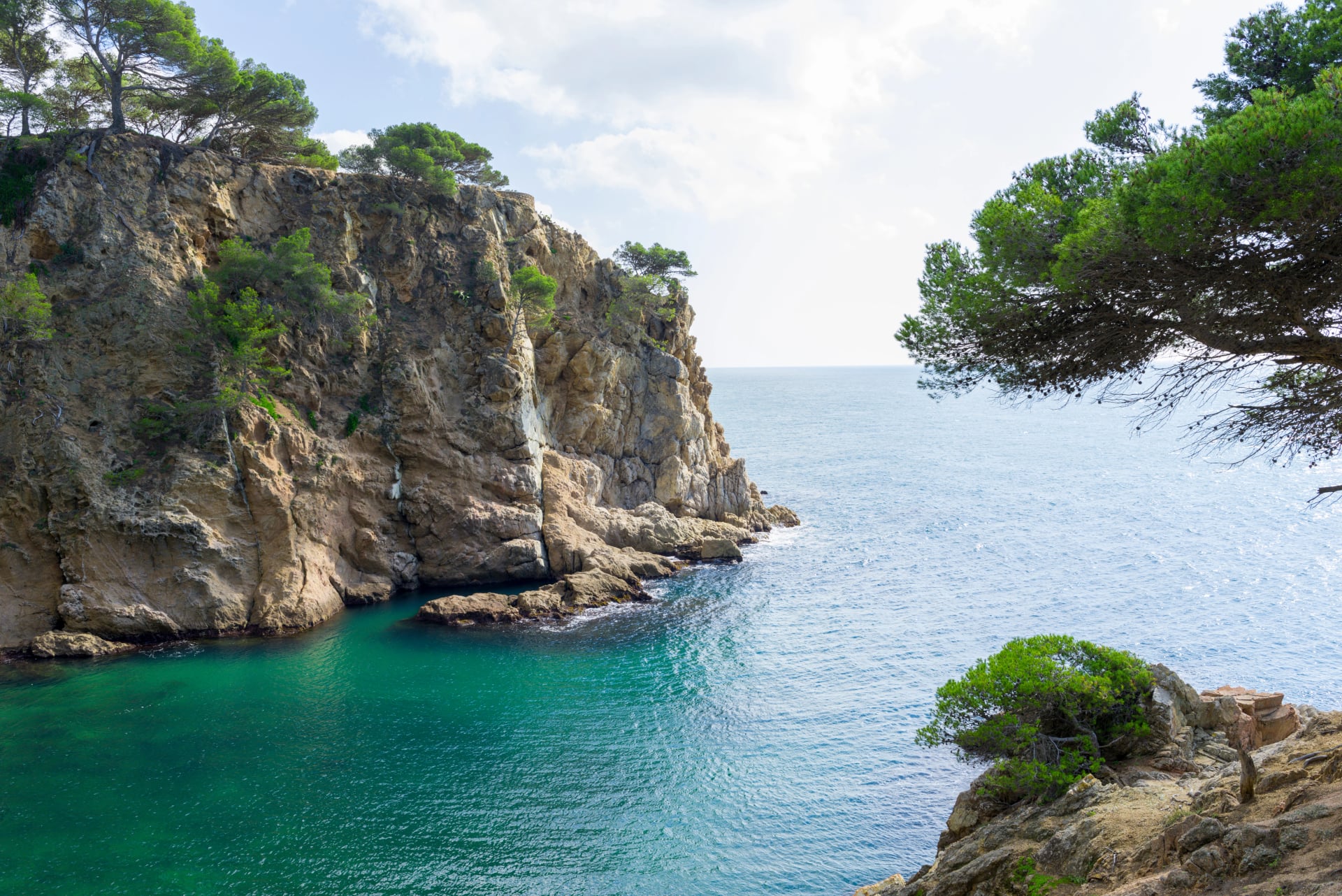
The case for choosing it over a mountain route is straightforward. This is coast walking at sea level, so there is no snow to plan around and no altitude to respect, and the season runs from spring to late autumn. You sleep in fishing towns with restaurants and hotels rather than in mountain dormitories, luggage can follow you by road, and most sections finish at a cove you can swim in. It is moderate rather than easy: expect short, sharp climbs over headlands and long flights of stone steps, but nothing technical and nothing that needs equipment. If you want the opposite, the high and demanding version of walking in this part of Spain, our GR11 trail guide covers the traverse of the Spanish Pyrenees that finishes on this same coast.
This guide covers what the Camí de Ronda actually is, which sections are genuinely worth your legs, and how a full Costa Brava walking week fits together. It is the gentlest of the long walks we run in Spain, and the only one with a swim at the end of most days. Our guide to hiking in Spain sets it beside the other five regions worth walking.
What the Camí de Ronda Is
Before the customs men, these were working paths. Fishing communities strung along a coast with almost no roads needed a way to reach the next village and to get down to the water, and the earliest camins de ronda were exactly that: footways worn along the shoreline through the nineteenth century. The patrols formalised them. Tourism, a century later, rebuilt some and swallowed others.
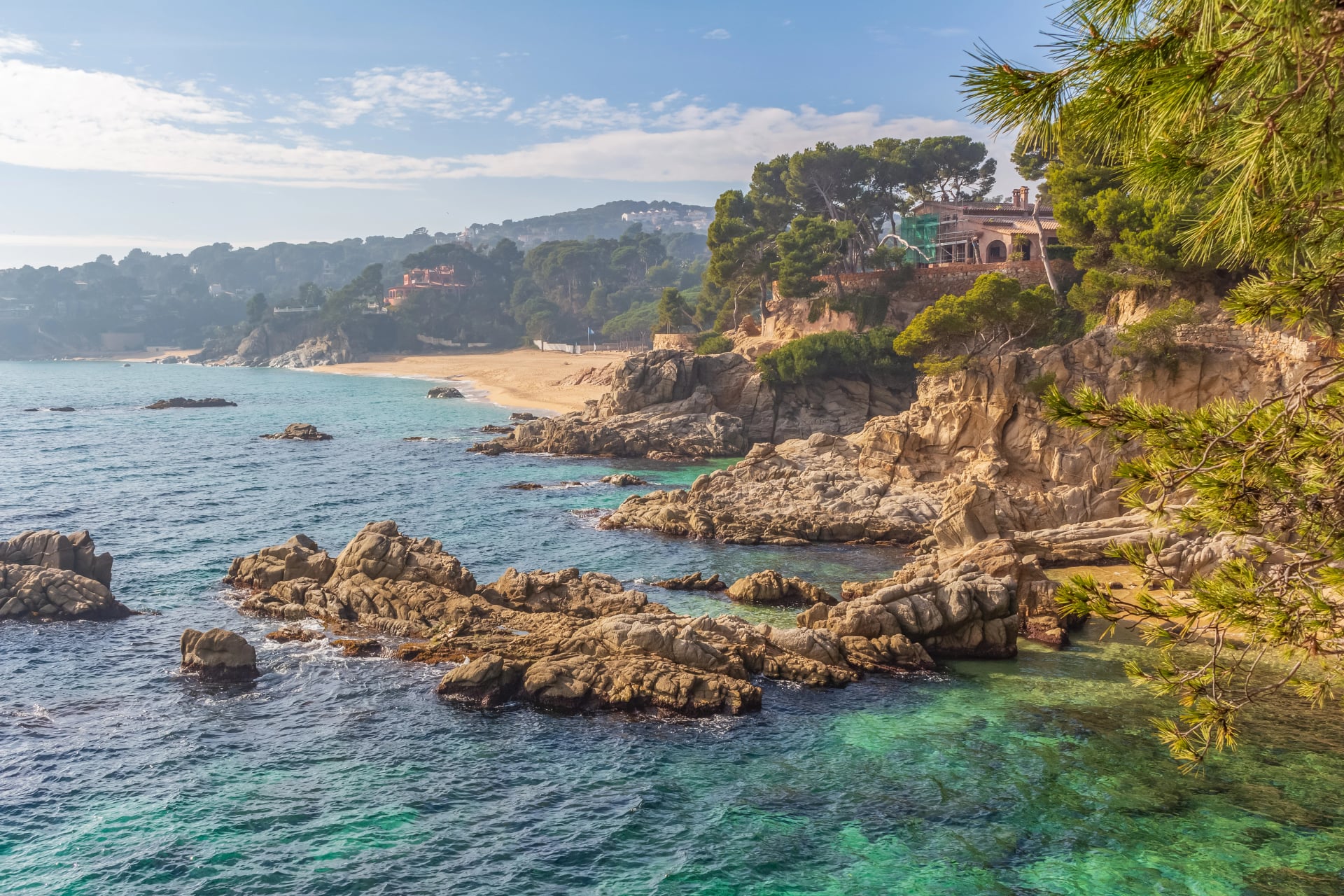
That mixed inheritance is what you walk today, and it varies by municipality rather than to any national standard. Where a town has invested you get engineered steps, handrails and interpretation boards. Where it has not, you get a track that appears on no signpost and simply follows the water until it does not. Both are legitimately the Camí de Ronda, or Camino de Ronda in Spanish, and that is the single most useful thing to understand before you plan.
The practical upshot: treat the Camí de Ronda as a family of coastal walks rather than a route you complete.
Camí de Ronda or GR92?
The two names get used as if they meant the same thing. They do not, and the distinction is the most useful thing to grasp before you plan. The simplest way to hold it: one is a heritage, the other is a route.
What it is. The Camí de Ronda is a network of historic coastal paths. The GR92 is one waymarked long-distance route.
Origin. The camins de ronda were fishermen's tracks and then customs patrol paths, from the nineteenth century. The GR92 is a modern trail, part of Catalonia's Sender de la Mediterrània.
Waymarking. The Camí de Ronda has no single standard and is signed municipality by municipality, sometimes barely at all. The GR92 carries standard red and white GR blazes throughout.
Where it goes. The Camí de Ronda is on the coast by definition, because that was the point of it. The GR92 is coastal where the old path survives and inland where it does not.
Extent. The Camí de Ronda has no official start or finish, in sections of roughly 7 to 21 km. The GR92 has defined stages, Blanes to Portbou, more than 200 km along the Costa Brava.
Can you complete it? Not the Camí de Ronda. Yes, the GR92.
Best Sections of the Camí de Ronda
Six sections carry most of what makes this coast worth walking.
1. Palamós to Calella de Palafrugell
Distance: About 11 km
Ground: Cliff path, coves and stone steps
If you only do one section, do this. It is the wildest and most rugged stretch of coastal path on the Costa Brava.
The path climbs first to Cap Gros and then Cap Roig for the two long views of the day, passes the ruins of Sant Esteve castle at La Fosca beach, and threads small clusters of sixteenth-century fishermen's huts and the fishing hamlet of s'Alguer. Between them come Platja del Castell and a run of coves at the foot of the cliffs that exist mainly for people who arrive by boat or by this path.
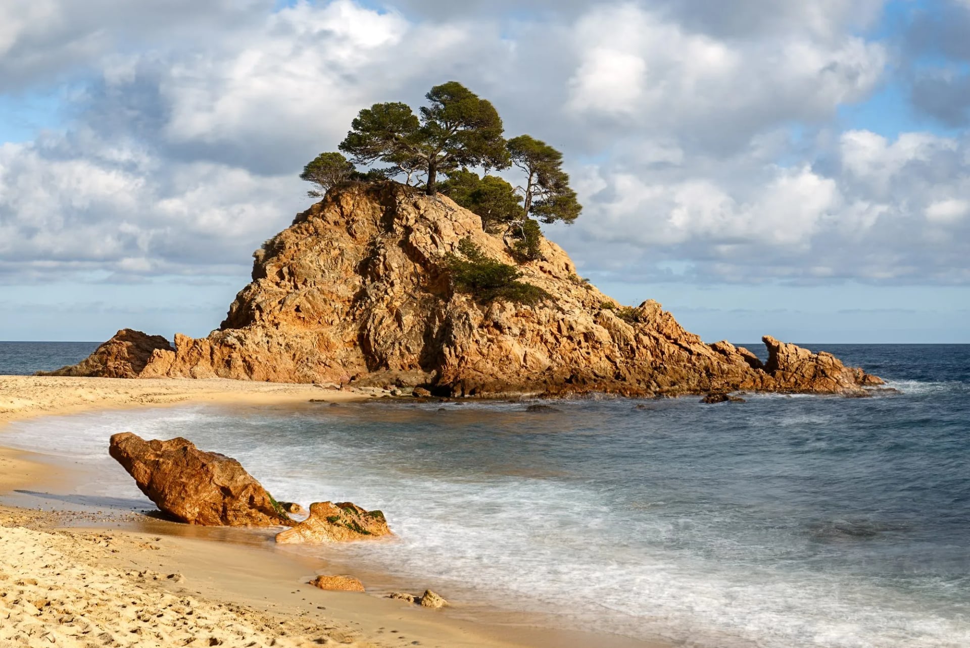
Three hours is the honest walking time and a poor prediction of how long it will take you, because the coves are the point and you should stop at them.
2. Calella de Palafrugell to Tamariu
Distance: About 7 km
Ground: Mild gradients, forest and fields
The most rewarding easy section on the coast, and the one to choose if the group's fitness varies. The gradients are mild and the density of things worth stopping for is absurd.
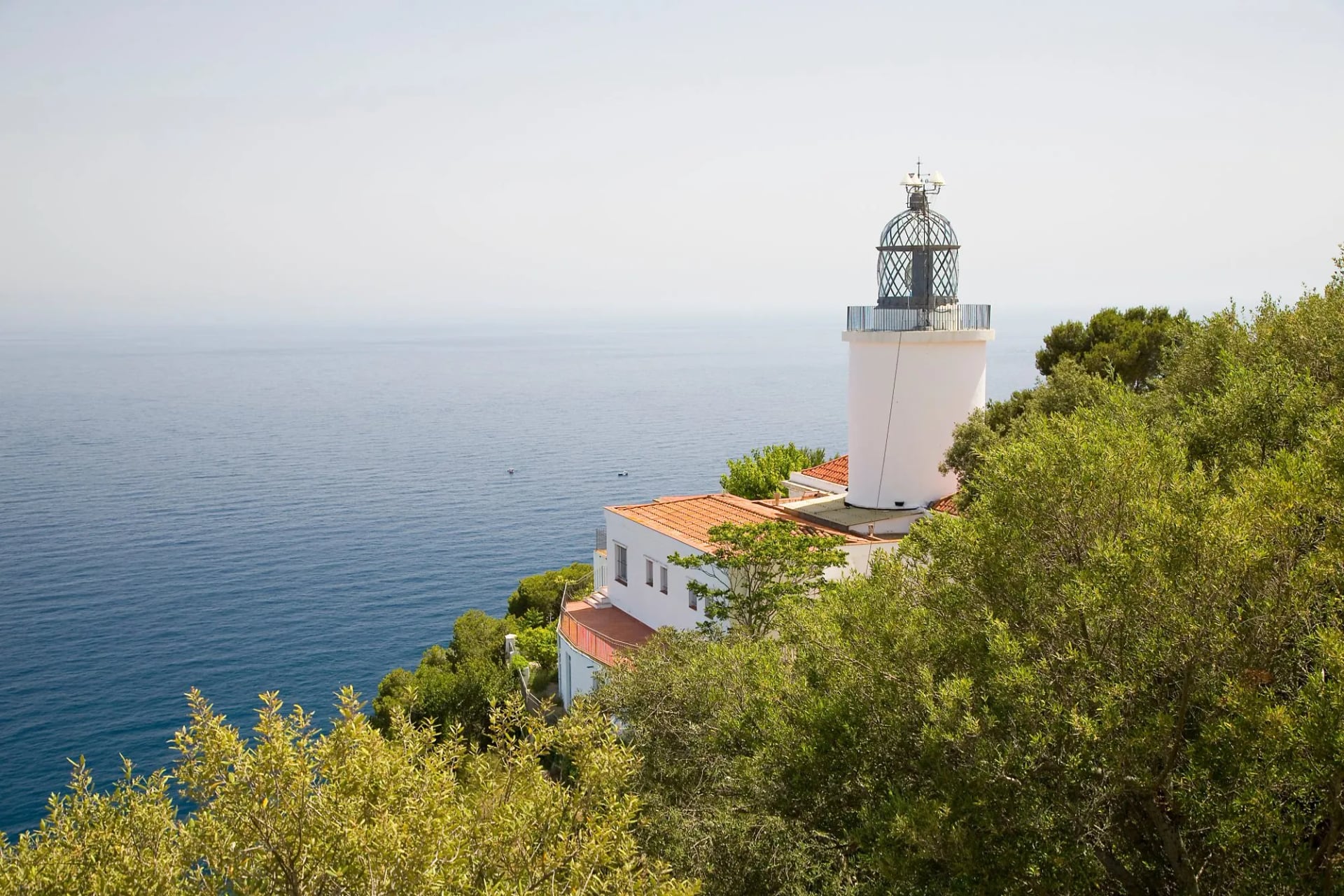
The high point, literally, is the Sant Sebastià headland at 169 metres, where four separate eras sit within a few hundred metres of each other: an Iberian settlement dating from the sixth century BC, a fifteenth-century watchtower, an eighteenth-century chapel and a nineteenth-century lighthouse whose beam reaches 32 nautical miles, the most powerful on the Catalan coast. From there the path drops through forest and fields to Cala Pedrosa and Platja dels Lliris before Tamariu.
3. Sant Feliu de Guíxols to Palamós
Distance: About 17.5 km
Ground: Coastal path, promenade and town seafront
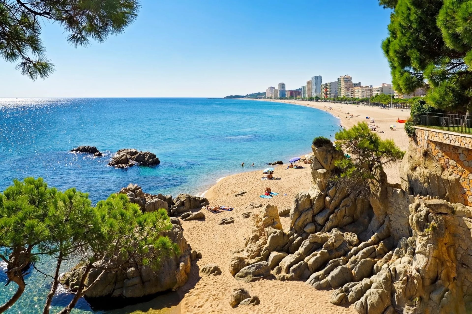
This section is a tour of everything the Camí de Ronda has become. It opens on genuine coastal path past Cala del Molí, Cala Maset and Sant Pol beach, then arrives at s'Agaró, where the route becomes a noucentista promenade, part of the estate the architect Rafael Masó began laying out in 1924, a patrol path rebuilt, deliberately, as somewhere to stroll.
After that it crosses the mouth of the Riudaura, runs the Platja d'Aro seafront, and then reverts to type: steps, cliffs, small coves and coarse-sand beaches on the way to Sant Antoni de Calonge and Palamós.
4. Blanes to Tossa de Mar
Distance: About 21 km
Ground: Constant undulation, stone steps and woodland
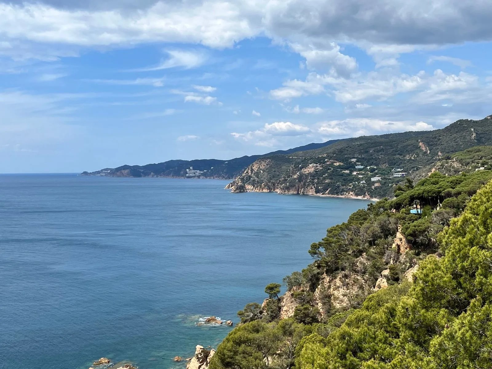
The archetypal Camí de Ronda day: constant undulation, cliff-hugging paths, stone steps, Mediterranean woodland and coves in sequence. It is long enough that splitting it at Lloret de Mar is entirely reasonable.
Landmarks come at intervals. Sant Joan castle above the bay at Blanes, the watchtowers at the Santa Cristina sanctuary, the vantage point at Punta d'en Rosaris with its Dona Marinera statue looking out to sea. The finish is the best of it: Codolar cove, with the walls and towers of Tossa de Mar's old town as a backdrop.
5. Cadaqués to Cap de Creus
Distance: About 8 km one way
Ground: Rough and rocky with almost no shade
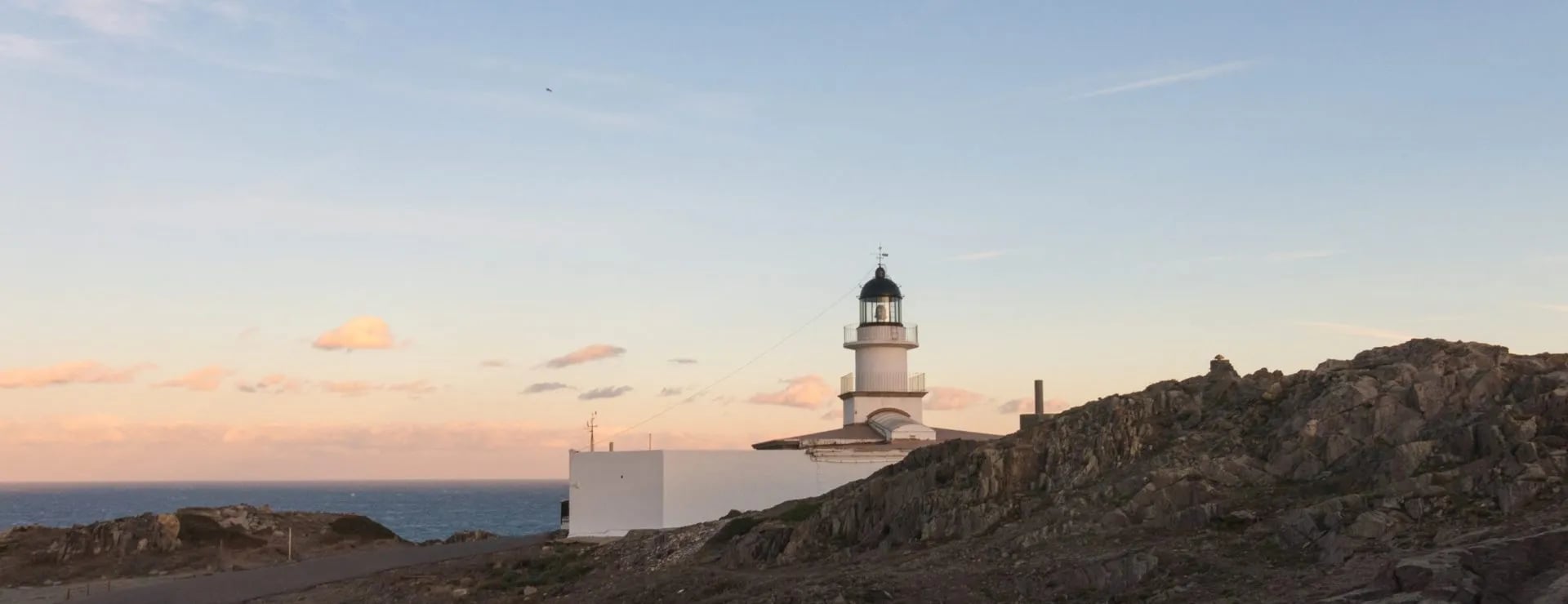
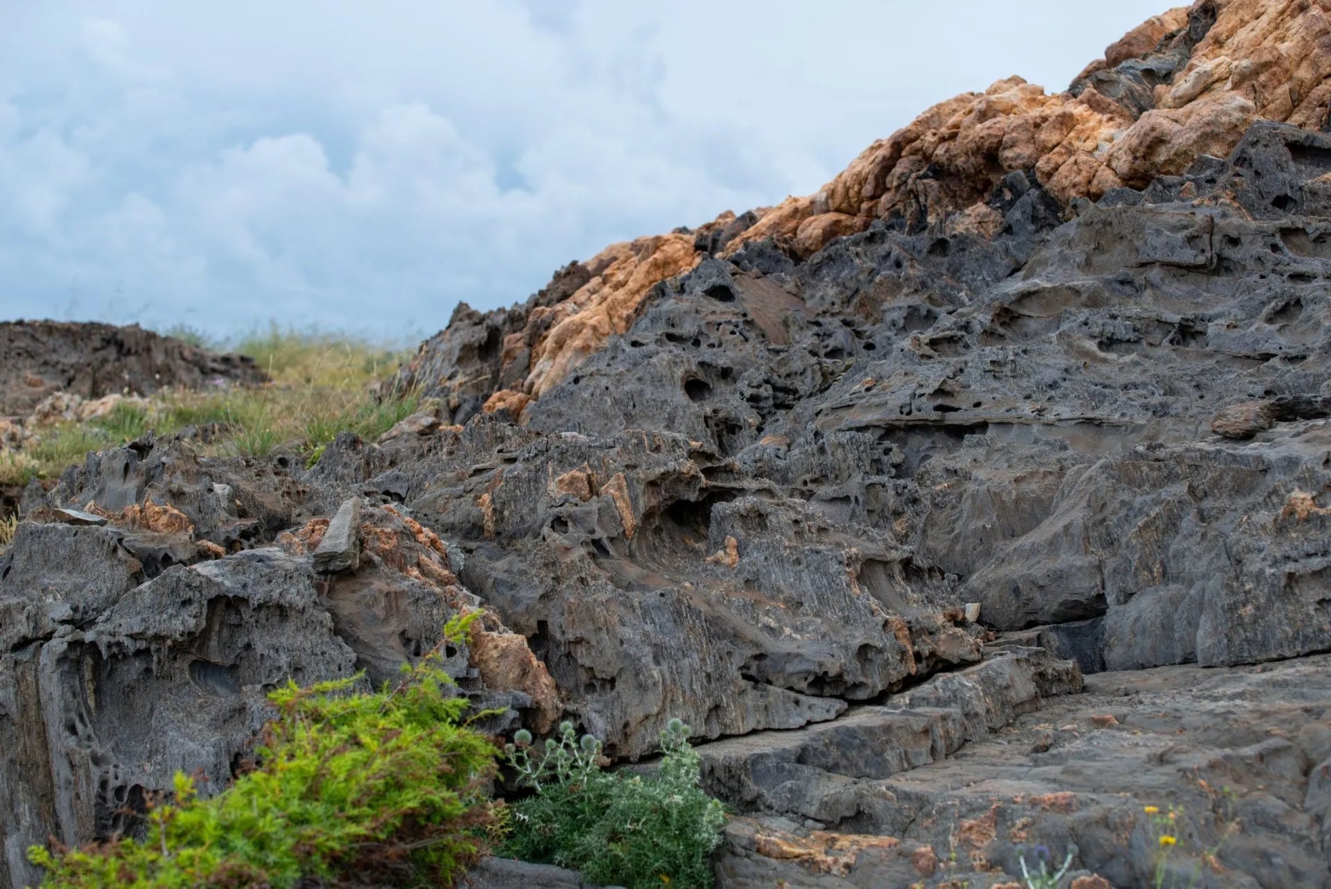
This is the section that feels least like the rest of the coast. The path leaves the GR92 and its waymarking changes accordingly, the terrain turns rough and rocky underfoot, and the tramuntana has scoured the headland down to low shrub and bare rock with almost no trees on it.
It ends at the Cap de Creus lighthouse on the easternmost point of the Iberian Peninsula, where the Pyrenees finally run into the sea. Worth the detour: the Tudela site, whose contorted rock formations Dalí used directly in his paintings. Sturdy shoes for this one, and take more water than the distance suggests. Most walkers return the same way, which makes it about 15 km in the day.
6. Llançà to Colera
Distance: About 7 km
Ground: Gentle, with a beach most of the way
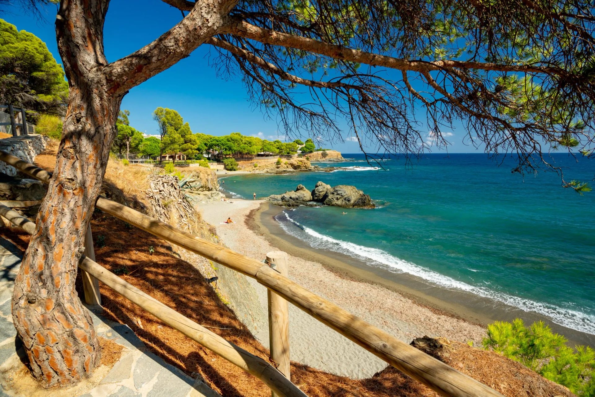
The section almost nobody writes about, which is its recommendation. Gentle walking between two small Empordà towns, through a landscape most visitors drive past, with a long series of places to swim: Grifeu, Cros, Canyelles and Garbet among them. Choose it for a rest day, or for a hot afternoon when you want the sea more than the ascent.
The 9-Day Girona Circuit
If you want a walk with a shape to it, a start, a finish, and a week in between, this coast presents a problem. The path is linear, the good sections are scattered along 200 km of it, and the towns in between have no railway. Walking the coast end to end means either a fortnight or a great deal of waiting for buses.
A circuit out of Girona solves that. Girona has the airport, the rail line and the bus connections, so starting and finishing there removes the transport problem altogether: you walk out through the hills to the sea, along the three finest coastal sections, then back inland through the Empordà. About 134.5 km over seven walking days, which is the shape of our own Camí de Ronda itinerary.
Day 1: Arrive in Girona
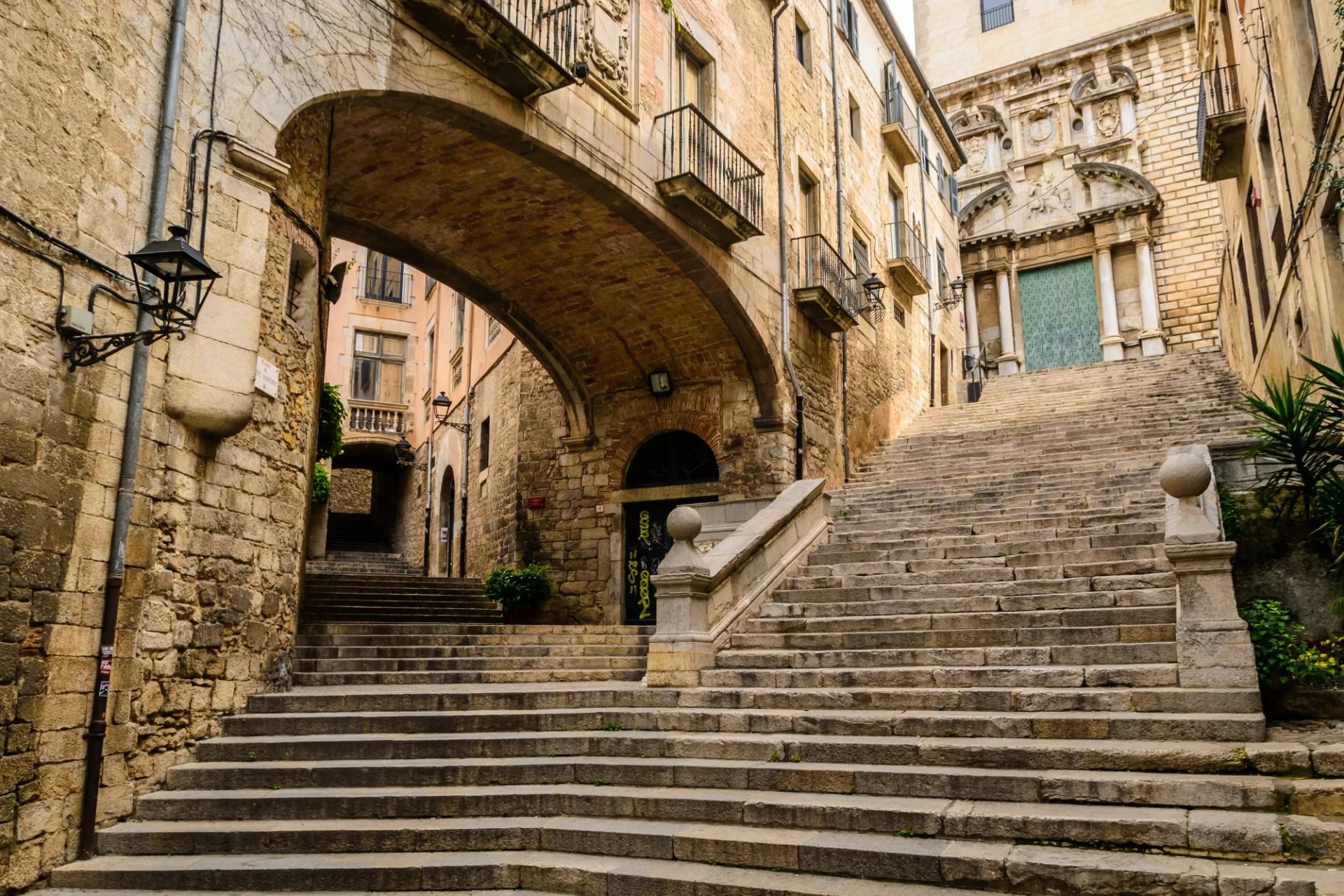
A day to settle in. Girona's old town, the walls and the cathedral steps are worth the afternoon.
Day 2: Girona to Llagostera
Distance: 25 km
Ascent: 330 m
Descent: 310 m
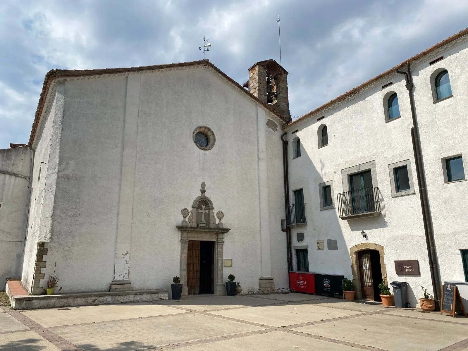
Out through the Sant Daniel valley and up the old path to the Santuari dels Àngels for the view back over the city, then into the shaded tracks of the Gavarres massif, through Cassà de la Selva and along a converted railway line into Llagostera.
Day 3: Llagostera to Sant Feliu de Guíxols
Distance: 20 km
Ascent: 65 m
Descent: 740 m
Woodland and riverside vegetation through the Ardenya massif to the old church of Sant Baldiri, then a long descent past rocky outcrops as the Mediterranean appears ahead. A short climb to the Ermita de Sant Elm at the end gives the first proper look along the coast you are about to walk.
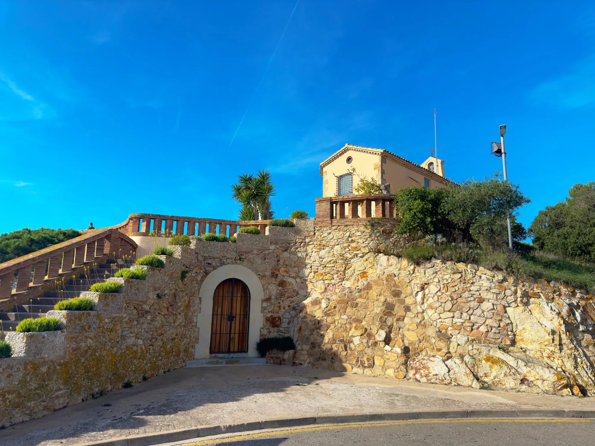
Day 4: Sant Feliu de Guíxols to Palamós
Distance: 17.5 km
Ascent: 250 m
Descent: 255 m
The variety day described above: coves, then Masó's promenade at s'Agaró, then the seafront at Platja d'Aro, then back onto a cliff path to Palamós.
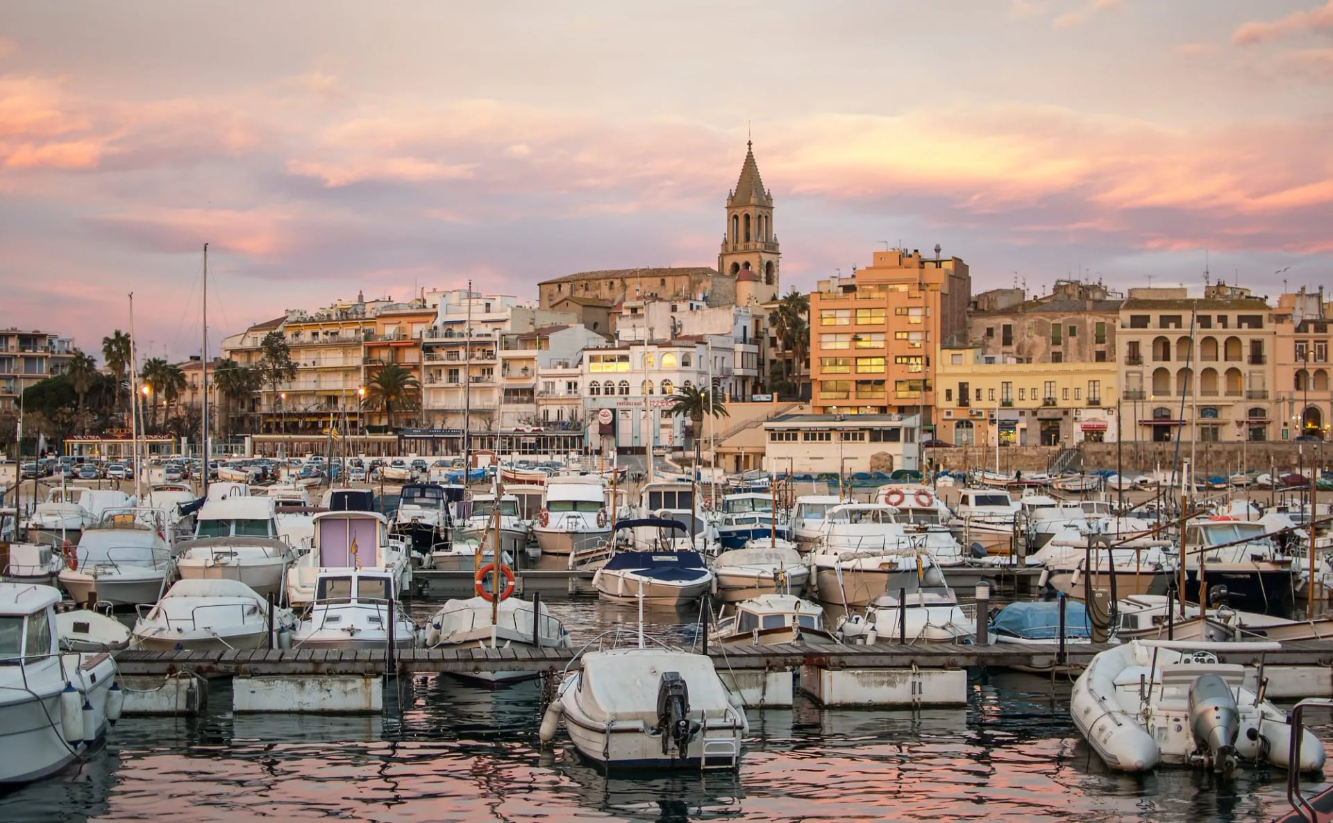
Day 5: Palamós to Llafranc
Distance: 13 km
Ascent: 450 m
Descent: 420 m
The best day. Cala Margarida, the climb to Cap Gros, the castle ruins at La Fosca, the fishermen's huts at s'Alguer, and the string of coves, Canyers and Estreta, that make this the wildest part of the route. Down to Golfet and into Llafranc.
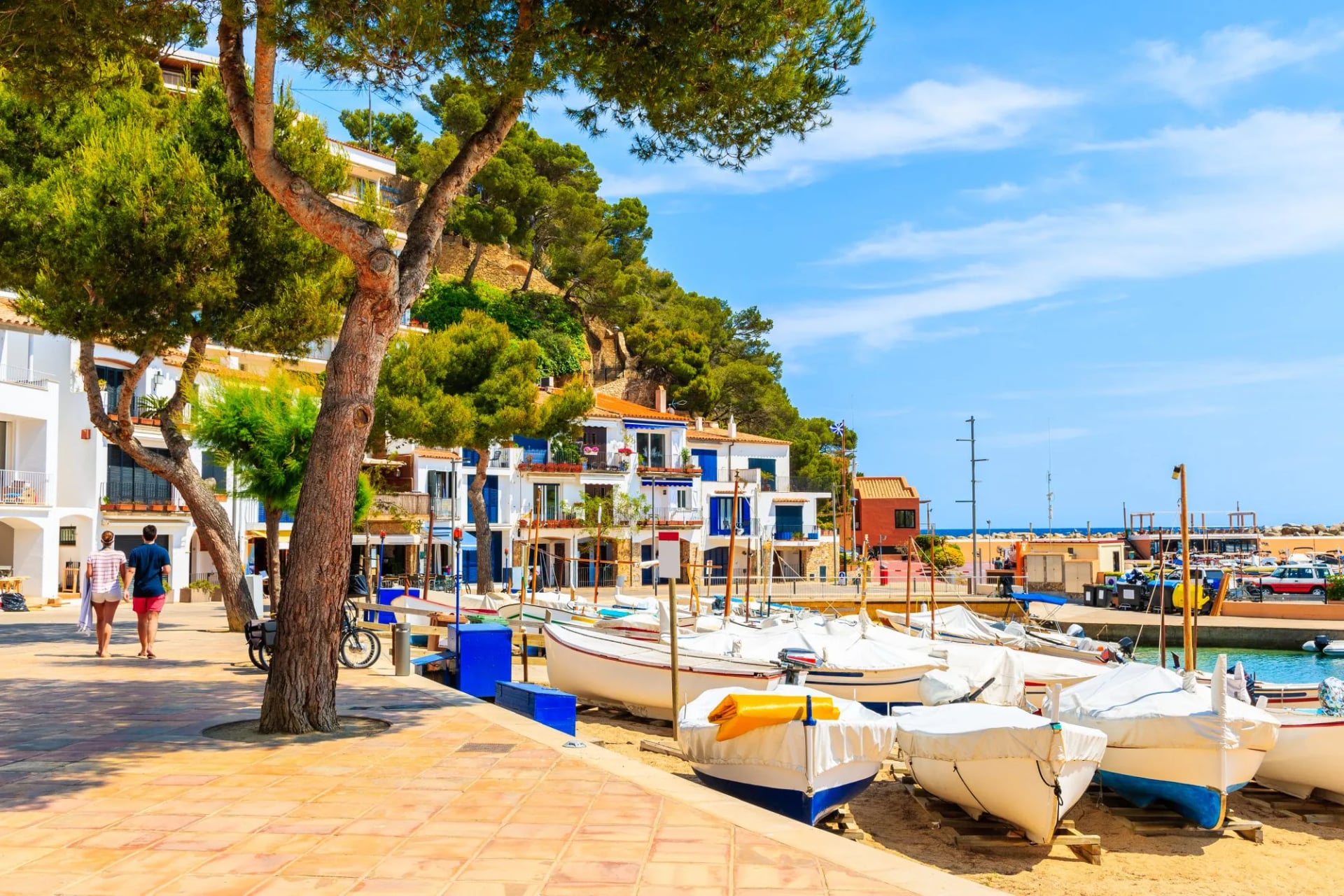
Day 6: Llafranc to Begur
Distance: 12 km
Ascent: 630 m
Descent: 430 m
A steep start to the Sant Sebastià lighthouse and its four layers of history, then a narrow path to Cala Pedrosa and a cliff route to Tamariu and Aiguablava. The day finishes with a sting: a final climb to the hilltop town of Begur.
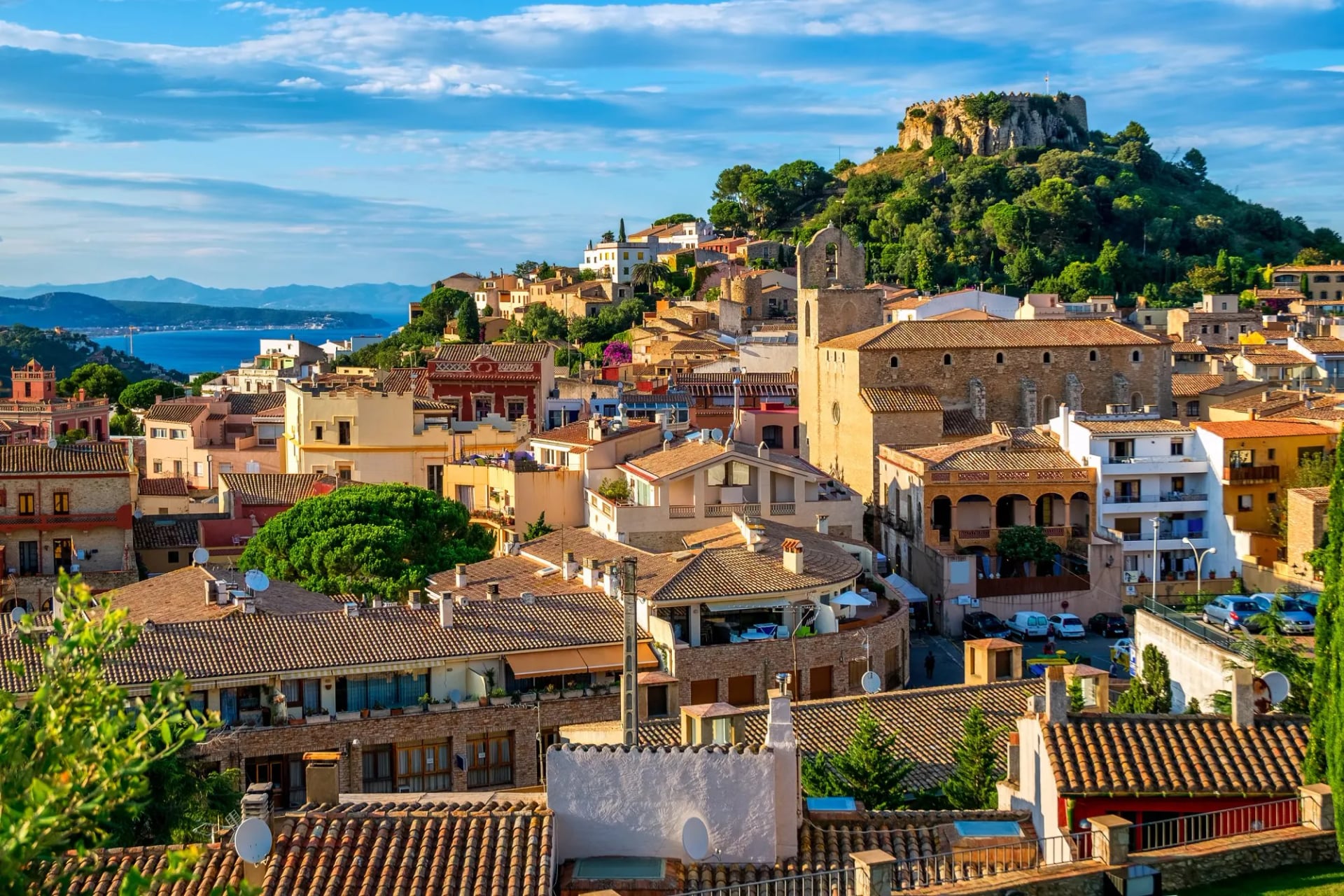
Day 7: Begur to la Bisbal d'Empordà
Distance: 22 km
Ascent: 280 m
Descent: 440 m
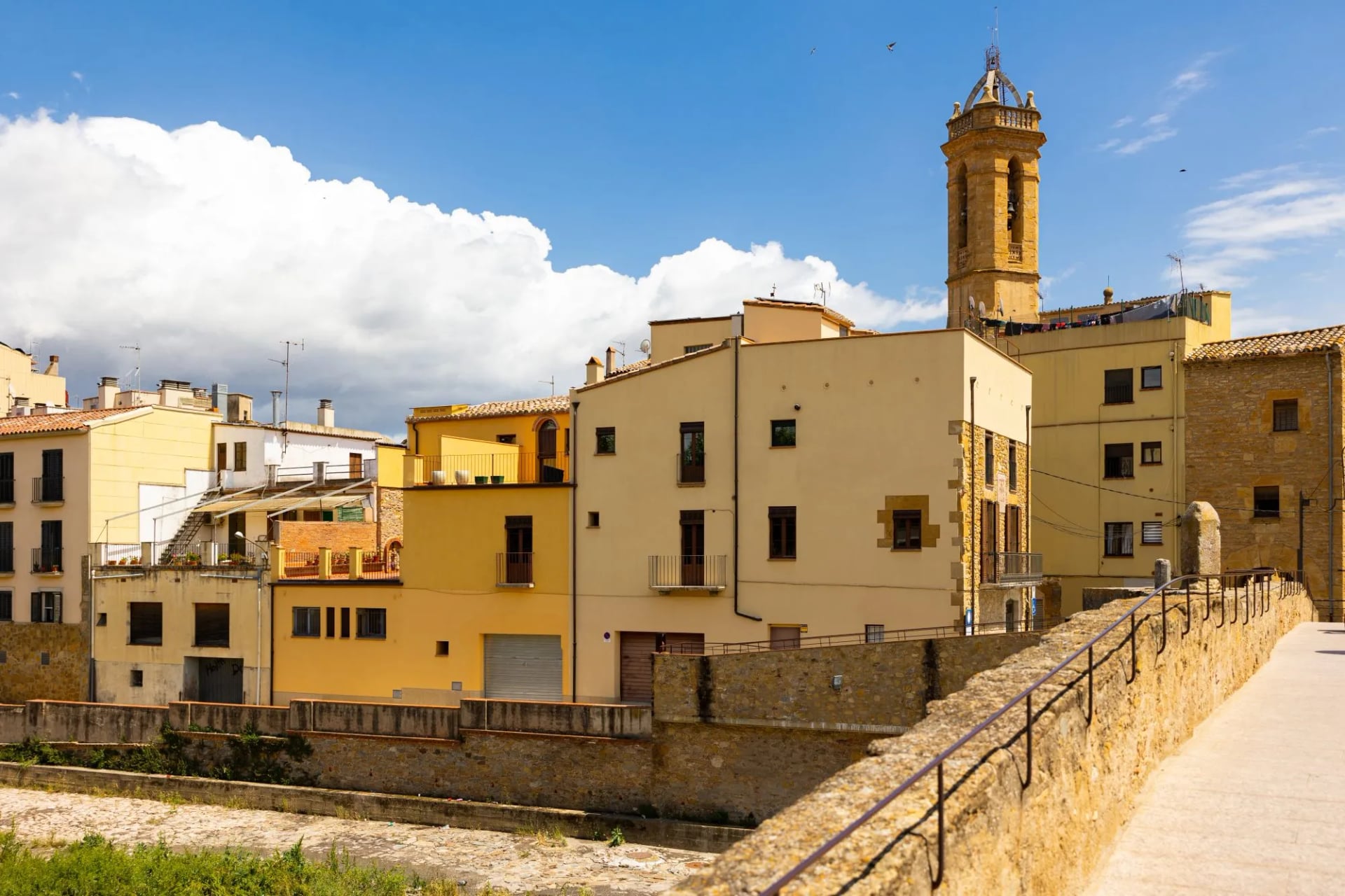
Inland and gentle, through the stone villages of Pals and Peratallada and the woodland of the Empordanet to la Bisbal, a town that has made ceramics for centuries and still does.
Day 8: La Bisbal d'Empordà to Girona
Distance: 25 km
Ascent: 630 m
Descent: 580 m
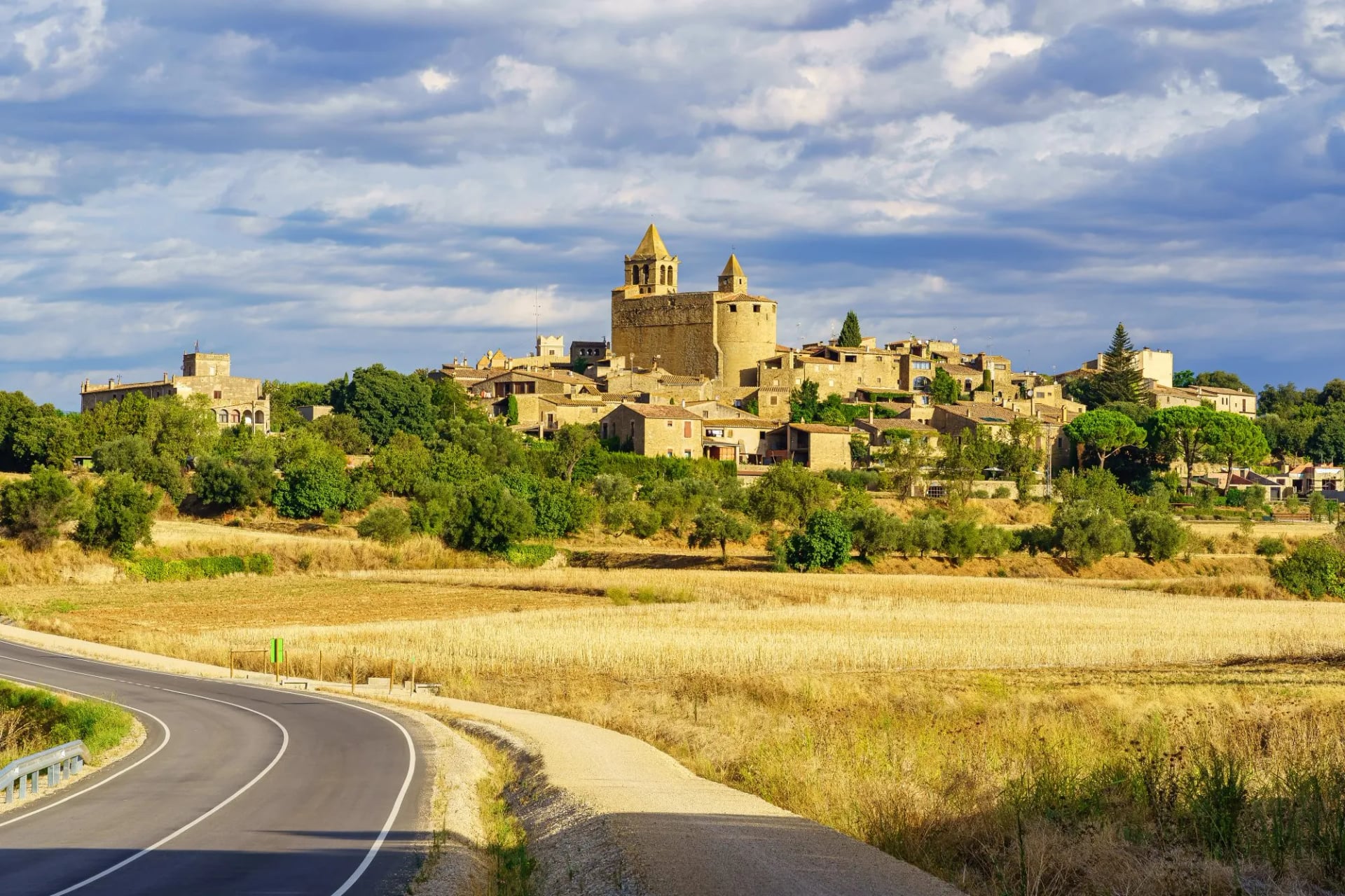
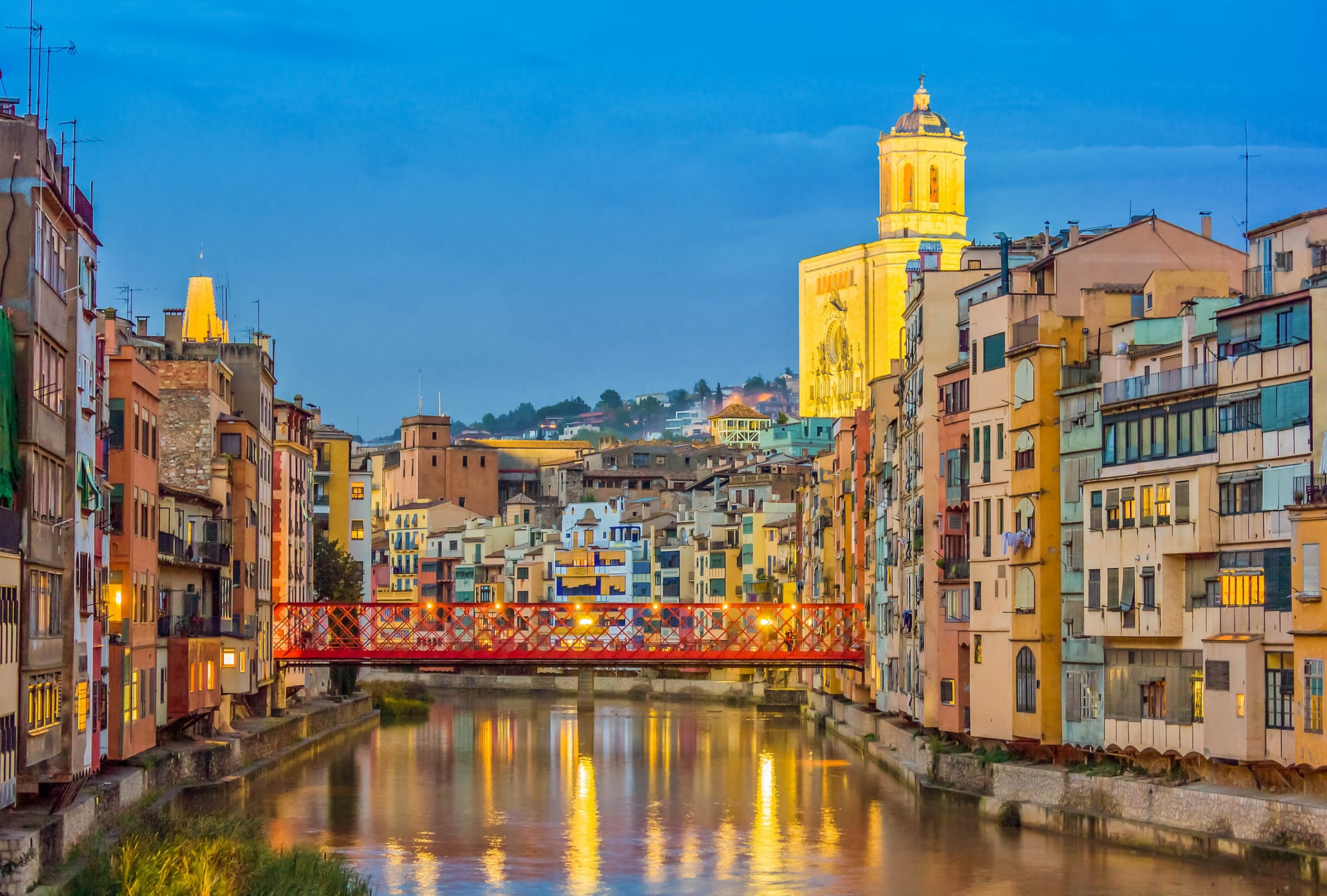
Along the Daró river to Madremanya, then a long wooded climb back to the Santuari dels Àngels, where Dalí and Gala were married in a private ceremony in August 1958, and down into Girona.
Day 9: Departure
Seven walking days, about 134.5 km, three of them on the coast. The whole circuit is walkable independently. Every night is in a town with hotels, and none of the days need anything you would not carry in a day pack.
How Long Do You Need?
There is no single answer, because there is no single route. Work backwards from how much time you have.
One day, and you want the best of it: Palamós to Calella de Palafrugell.
One day, mixed fitness or with children: Calella de Palafrugell to Tamariu.
A weekend: Sant Feliu de Guíxols to Palamós, then Palamós to Llafranc. This is the core of the coast and the two days link naturally.
A week: the Sant Feliu to Begur run covers every kind of terrain the Camí de Ronda offers, and can be walked town to town with luggage moved for you.
More than a week, less than two: the Girona circuit set out above, 134.5 km, seven walking days, the three finest coastal sections with inland walking between them. It is the neat answer if you want a complete round trip rather than a one-way section, because it solves the problem of getting back to where you started on a coast with no railway.
Two weeks or more: the full GR92 from Blanes to Portbou, which is a genuinely different proposition. Long, hot in season, and inland more often than you might expect.
Terrain and Waymarking
The walking is easier than mountain walking and harder than a coastal promenade. Expect narrow paths on continually undulating ground, stone steps in both directions, occasional moderately technical scrambling on the rougher sections, and stretches of tarmac promenade and beach where towns have absorbed the path.
Waymarking varies by section, which is the thing to plan for. Where the route coincides with the GR92 you follow the standard red and white long-distance marks. Where it leaves the GR92 the marks change, the path out to Cap de Creus is followed on yellow paint flashes, and on urban stretches waymarking gives way to street furniture and you navigate by the sea being on one side. Municipal signage is generally good near towns and thins out between them.
Our piece on trail markings around the world covers how the GR system works.
For mapping, the useful scale here is finer than for mountain routes, because the decisions are small: which of two paths above a cove, which set of steps. A 1:25,000 sheet or a good offline map on your phone answers those; a long-distance overview map will not.
Carry a downloaded track for the sections between towns, and be aware that coastal paths get rerouted after storms, so a track a few years old may not match the ground.
Phone signal is better than on a mountain trail, but it fails in a particular way. The path rarely strays far from inhabited coast, so expect coverage in the towns and along the developed stretches. What drops out is the ground in between: down in a cove or under a headland, the cliff sits between you and the mast, and the remote northern sections out towards Cap de Creus are thinner again. Spain is in the EU, so for European visitors roaming is not the constraint, line of sight is.
Plan around that rather than hoping. The moment you most want a map is a junction above a cove, which is precisely where the bars disappear, so download maps and tracks for offline use before you set out rather than loading them on the day.
Best Time to Walk the Camí de Ronda
The Costa Brava's walking season is long, and the summer is the worst of it.
April to Early June
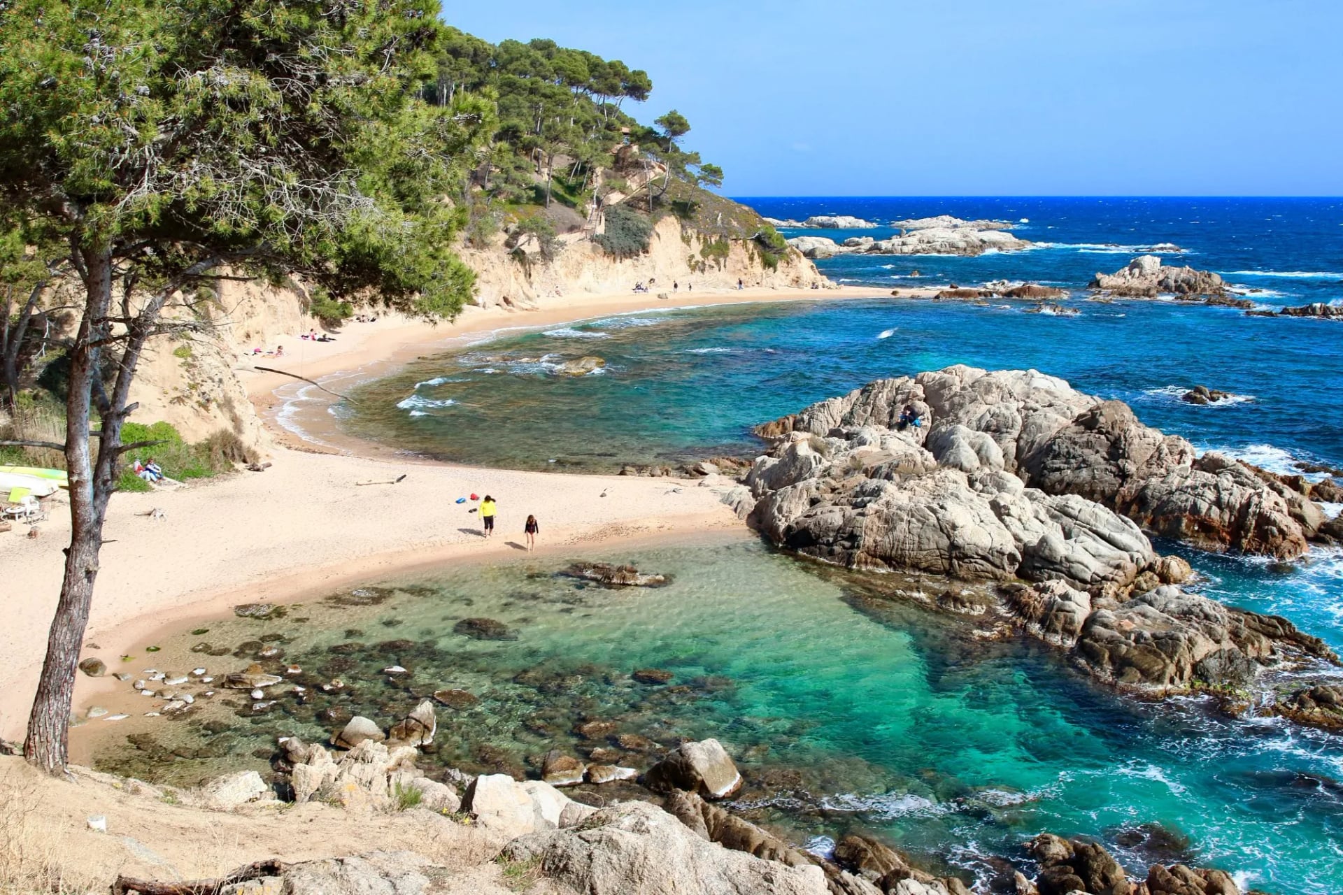
This is the best window. The path is dry, the vegetation is green, the light is good and the coves are empty. Sea temperature is the trade-off. Swimmable for the hardy in May, pleasant by June.
July and August
High summer is the season to avoid if you have a choice. There is little shade on cliff sections, the heat on exposed south-facing ground is genuinely draining, and the coastal towns and beaches are at their busiest. If you must walk then, start early, finish by early afternoon, and plan swims rather than distance.
September and Early October
That is the other good window, and arguably the best of the two: warm sea, thinner crowds, stable weather. Accommodation in the coastal towns starts closing towards the end of October.
November to March
Works for the low, easy sections and for anyone who prefers an empty coast. Days are short, some seasonal hotels and beach restaurants shut, and the tramuntana can blow hard on the northern stretches around Cap de Creus.
Getting There and Around
Girona is the closest airport, and conveniently its bus and rail stations sit next to each other, so an arrival transfers onto public transport without a taxi. Barcelona is the bigger hub with far more flights, and about an hour and a half away by road.
No railway follows this coast. Trains reach Blanes at the southern end, and the main line runs inland through Girona and Figueres to Llançà and Portbou in the north. The stretch with the best walking, Sant Feliu de Guíxols, Palamós, Palafrugell and Begur, has no station at all. That single fact shapes every itinerary on this coast, and it is why a circuit from Girona works better than a linear traverse.
Coaches do the work that the trains cannot. They connect the coastal towns and run reliably through the summer. Outside the season, frequencies drop sharply, and on some routes to the smaller places they drop to a couple a day. Girona's bus station is the practical hub for reaching the middle of the coast.
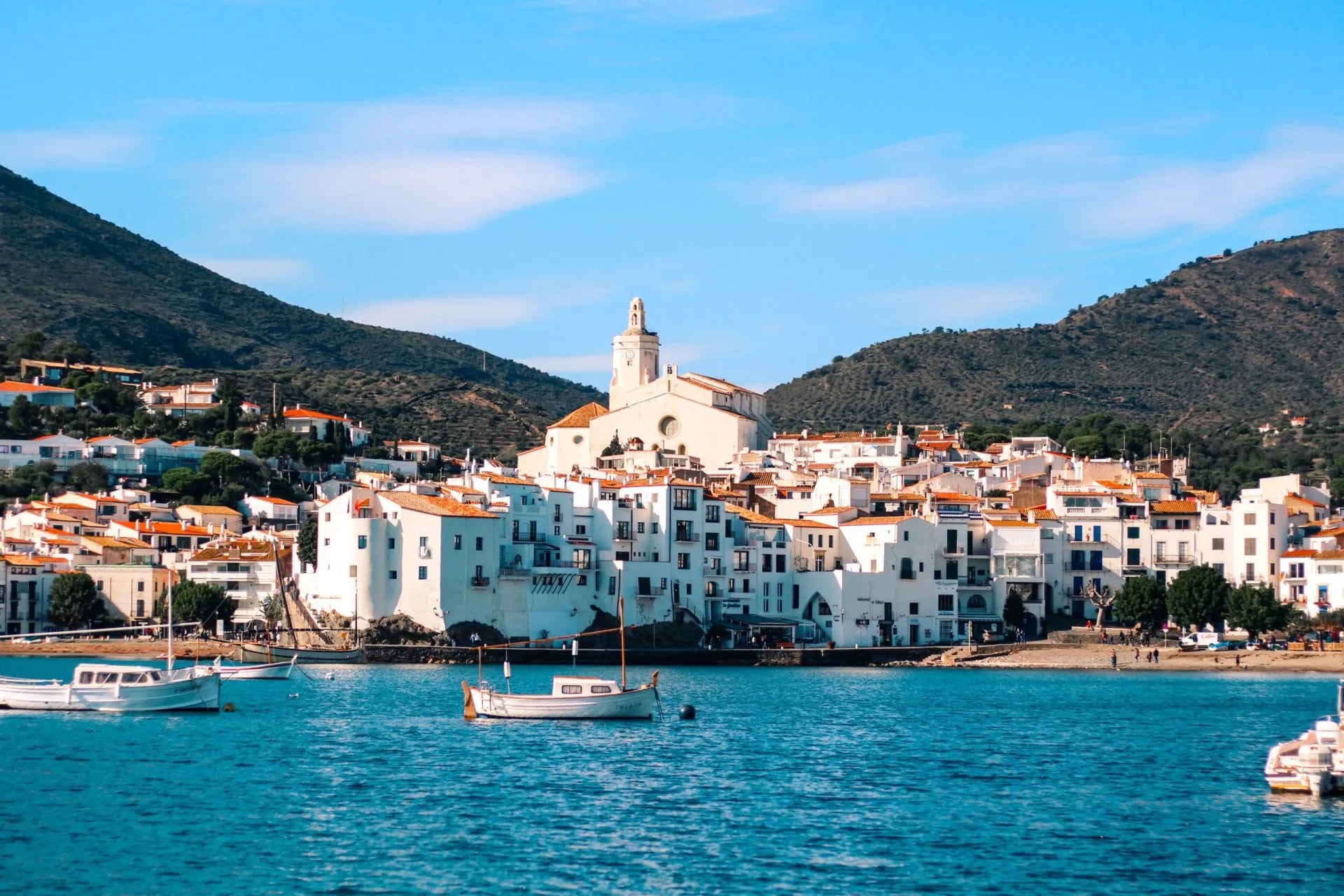
Check return times before you walk. Because the sections are point to point, every day ends somewhere you need to leave from, and the most common logistical mistake on this coast is walking a beautiful 11 km and then discovering the last bus went at six. Photograph the timetable at the stop when you arrive in the morning.
Boats can solve a one-way walk in summer. Small operators run coastal trips between towns like Palamós, Calella de Palafrugell and Llafranc through the summer, which turns a point-to-point section into a walk out and a sail back, and gives you the cliffs from the sea. These are excursion boats rather than a timetabled ferry service, so ask at the harbour or the tourist office the day before rather than building a plan around one.
A car is less useful here than it looks. It gives you freedom to reach trailheads, but it is dead weight on a point-to-point walk unless there are two of you willing to shuttle it, and coastal parking in July and August is a sport in itself. Either base yourself in one town and walk out and back, or walk town to town and let the buses and your luggage transfer do the moving.
Where to Stay
There are no refuges anywhere on this coast, and that is the single biggest difference from walking in the Pyrenees, where the whole trip is built around the refuge network. No dormitories, no half board, no sleeping-bag liners, no booking platforms run by mountain federations. Every night is a room in a town.
What you choose between is character rather than category. The resort towns, Lloret, Platja d'Aro and Palamós, have seafront hotels and aparthotels in volume, which makes them easy to book late and less charming to stay in.
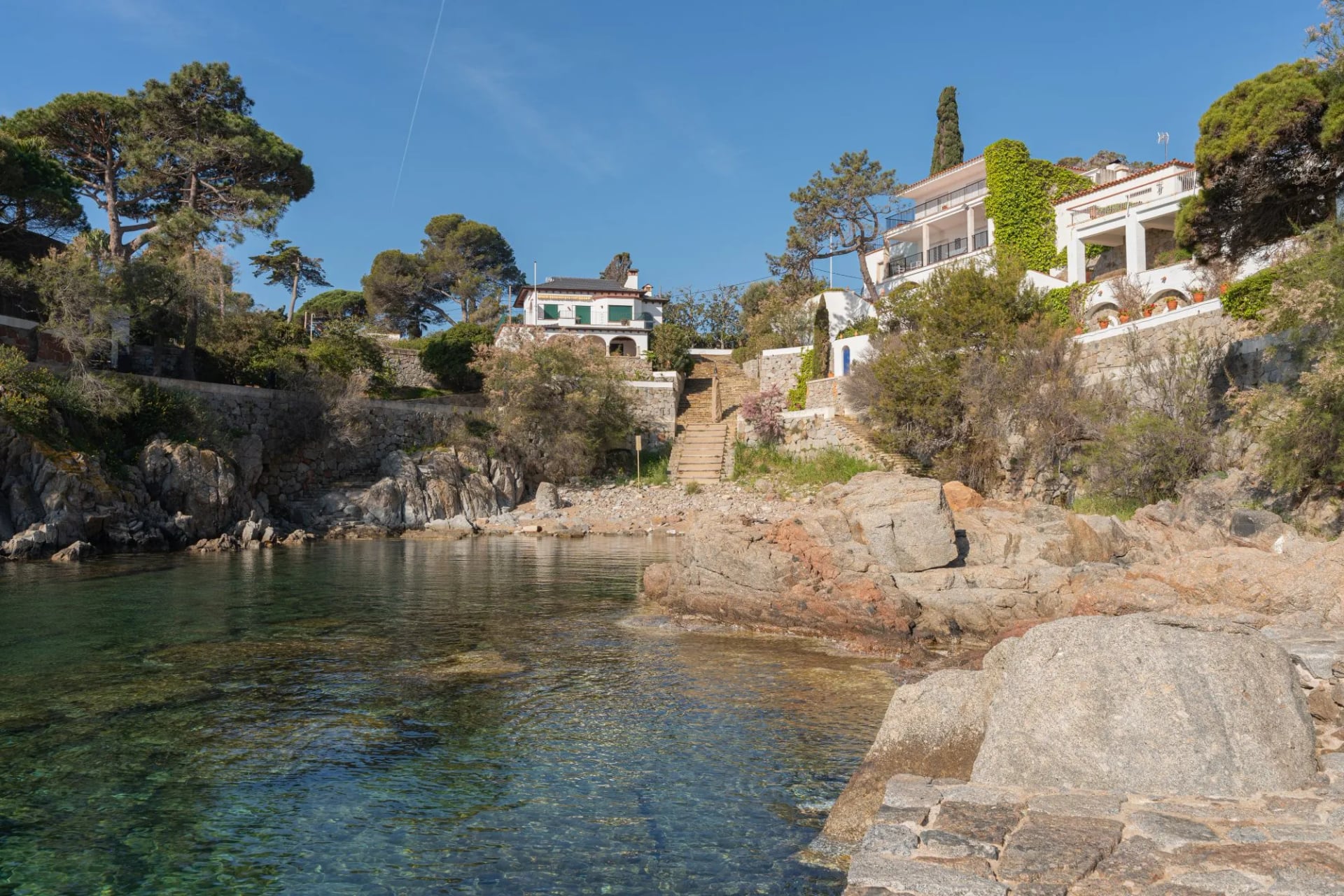
The small fishing towns are the opposite: Calella de Palafrugell, Llafranc, Tamariu and Begur have a handful of family-run hostals and small hotels each, and they are the places worth planning around. Inland, if you walk a circuit, you get restored stone masies, farmhouses converted into guesthouses, often with a pool and a very good dinner.
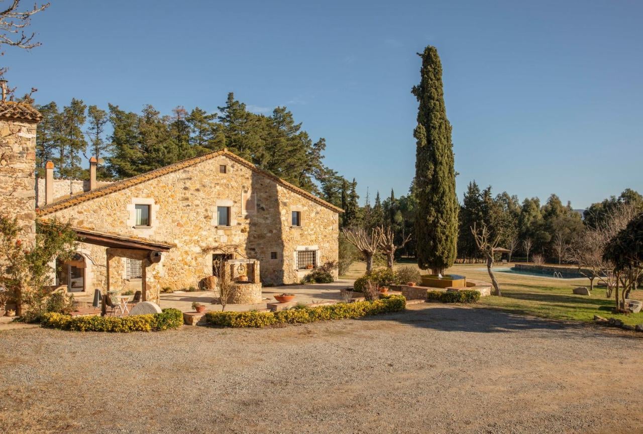
Book early for July and August, and earlier for the good small places. The mathematics are simple: Tamariu has a fraction of the beds that Platja d'Aro does, and everyone wants them. Months ahead is not excessive for the high season.
Out of season, check what is actually open. A good number of coastal hotels and beach restaurants close from around November to March, and in the smaller towns that can mean one place open and nowhere to eat. It is a real argument for walking the shoulder seasons rather than deep winter.
Because roads reach every town on the route, luggage transfer is straightforward here in a way it never is on a mountain traverse. You can walk the whole coast with a day pack.
What to Pack
Most of a standard walking kit list applies and is not worth repeating. What follows is what is different about this coast, including the things you can leave at home.
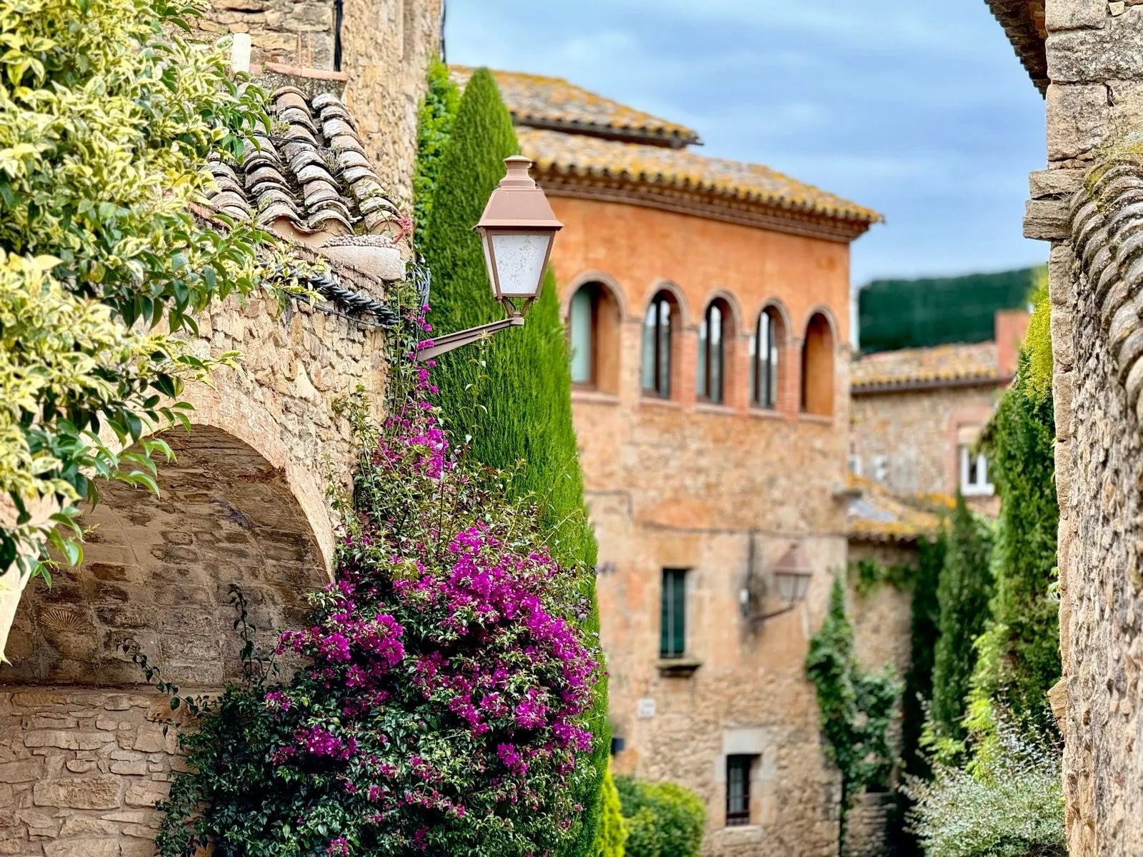
Swimming kit and a quick-dry towel. Not an afterthought. The coves are the reason the path exists in its current form, and a walker who cannot get in the water is missing most of the day.
Shoes with grip. The hazard here is polished stone, wet steps and the occasional loose gully, not scree slopes or boulder fields. Trail shoes or approach shoes beat heavy boots. Sandals are also the wrong answer.
Sun protection you will reapply. A brimmed hat, sunglasses and high-factor sunscreen, and the discipline to put the sunscreen back on after every swim. That last part is what people forget, and it is why walkers finish this coast burnt in a way they never do in the mountains.
Capacity for at least two litres of water, whether that is bottles or a bladder, plus something to fill them at fountains.
A dry bag or a waterproof phone pouch. You will leave a pack on a rock while you swim, spray comes further up than you expect, and a phone is your map.
One set of clothes that is not the walking kit. You finish in towns and eat in restaurants rather than hut dining rooms, and dinner at half past nine in Begur is nicer if you are not in the shirt you sweated through.
A blister kit. Heat, salt, sweat and several hundred stone steps is a combination that finds any weakness in your footwear.
What to leave behind: sleeping-bag liner, hut towel, stove, water filter, and anything you would carry for altitude or snow. If you have walked hut to hut in the Pyrenees, most of that pile stays at home. Trekking poles are genuinely optional, useful on the long stairways and a nuisance on the promenades.
Food and Drink
Eat when Catalonia eats. Lunch runs roughly from half past one to half past three, dinner rarely starts before half past eight, and kitchens shut in between. Finish a walk at five and you will find a bar and not much else. The answer is to make lunch the substantial meal: the weekday menú del dia is a fixed-price set meal, usually three courses with wine, and reliably the best value on the coast.
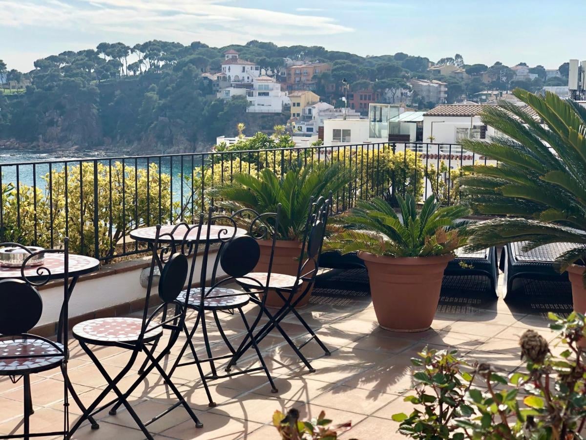
This is still a working fishing coast, and the food shows it. Gambes de Palamós, the prawns landed at the port whose auction you can walk past, are the region's most prized product and priced accordingly. Suquet de peix is the fishermen's stew, made with whatever came in. Arròs negre, rice blackened with squid ink, is the other coastal staple. The wines are Empordà, from the vineyards the last stages of the GR92 walk through. In Girona, a xuixo, a fried, cream-filled pastry, is the local breakfast.
Safety on the Coast Path
This is not mountain terrain, and the risks are correspondingly different, which is exactly why people underestimate them.
Sun and heat do the damage on this coast, not altitude or exposure. The cliff sections have almost no shade, the rock reflects, and there is no water between towns on most stretches. Carry more than you think, start early in summer, and treat a hot, exposed section the way you would treat altitude.
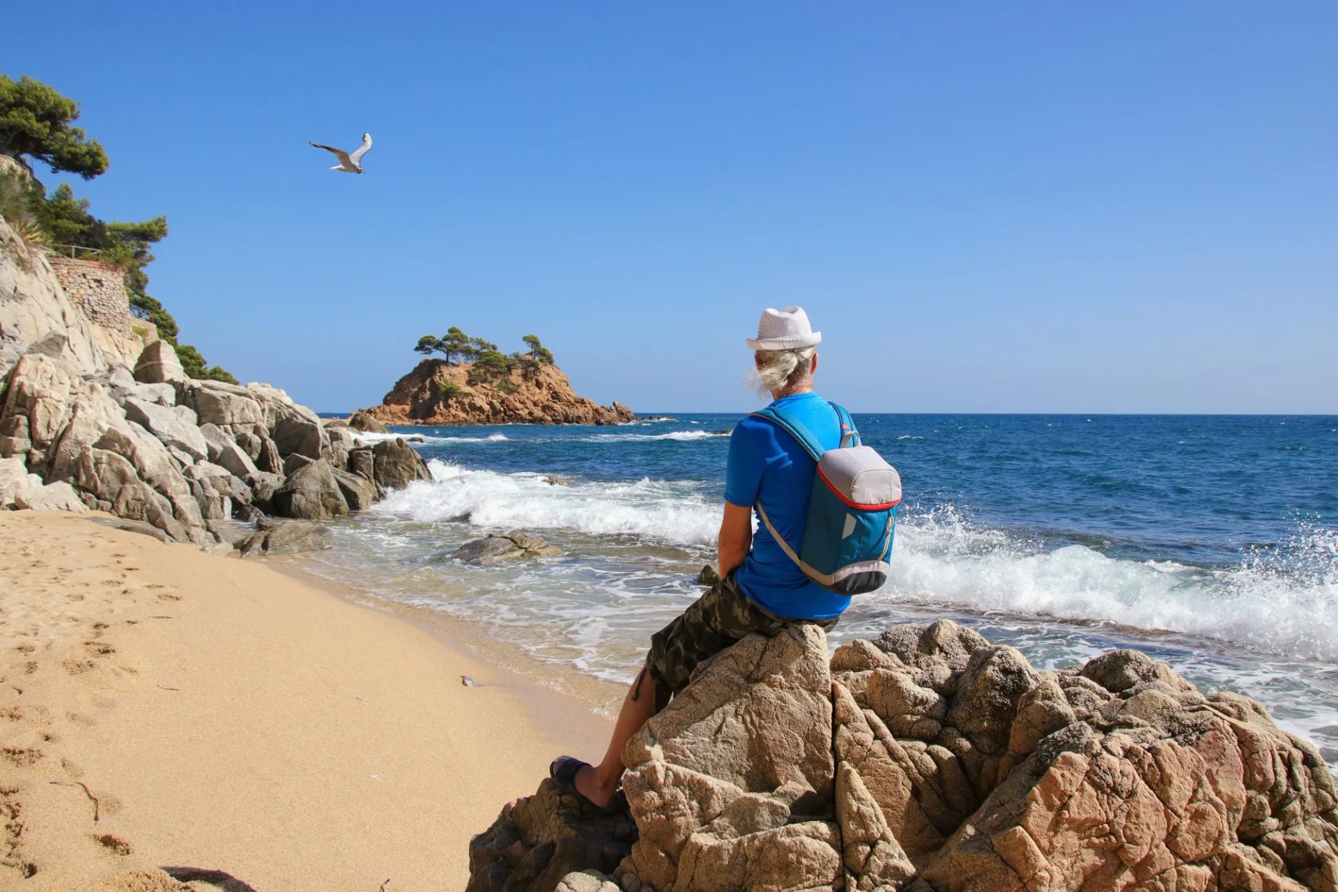
Carry water by time, not by distance. This is where the short section lengths mislead people. Eleven kilometres sounds like one bottle, but the coves are the point of the walk, so a three-hour section routinely turns into five or six with swims and stops in it, and you are in full sun for all of them. Two litres a person is a sensible floor on a summer day between towns, and the habit worth building is refilling whenever you pass a fountain rather than when you notice you are low.
Swimming disguises dehydration rather than relieving it. Cooling off in the sea makes heat feel manageable while you carry on losing fluid, and salt drying on your skin hides how much you have sweated. The signs to act on are a headache that will not shift, nausea, or feeling cold and clammy in full sun: that is heat exhaustion, and the answer is shade, water and rest. If someone stops sweating, their skin turns hot and dry, or they become confused, that is heat stroke and it is a medical emergency.
The edge is real. Much of the path runs unfenced above the water, on rock that is smooth where thousands of feet have polished it and loose where it has not. Wet stone steps after rain are the most likely way to get hurt on this coast. Walking shoes with grip, not sandals.
The sea needs the same judgement as the path. Beaches with lifeguards fly a flag system, green, yellow and red, and red means out of the water. The unpatrolled coves that make this coast special have no flags, no lifeguard and sometimes no easy exit if the swell picks up. Check the sea before you commit to a swim from a cove you cannot climb out of.
The emergency number throughout Spain is 112, and our mountain safety guide covers the general ground.
Local Knowledge
Where the name came from. A Girona journalist, Ferran Agulló, published an article headed Per la Costa Brava in the Catalan newspaper La Veu de Catalunya on 12 September 1908, under the pen name Pol. Costa brava means wild or rugged coast, and he was describing the shoreline rather than branding it. The name stuck fast: a cruise organised along the coast the following year settled it for good.
Catalan comes first and Spanish is everywhere. Signage, menus and place names are usually Catalan, platja for beach, cala for cove and camí for path, and a little of it goes a long way locally. English is widely spoken in the coastal towns.
The sea is coldest when the air is warmest. Water temperature lags the air by several weeks, which is why the best walking months and the best swimming months are never the same ones. A cove that is bracing in early June is still warm at the end of October.
Tap water is regulated to EU drinking-water standards and fine to refill from, though the fountains are in the towns rather than between them. Village bakeries and beach restaurants are frequent on the developed stretches and absent on the wild ones, and while cards work almost everywhere, the small beach xiringuitos on the remoter coves can be an exception.
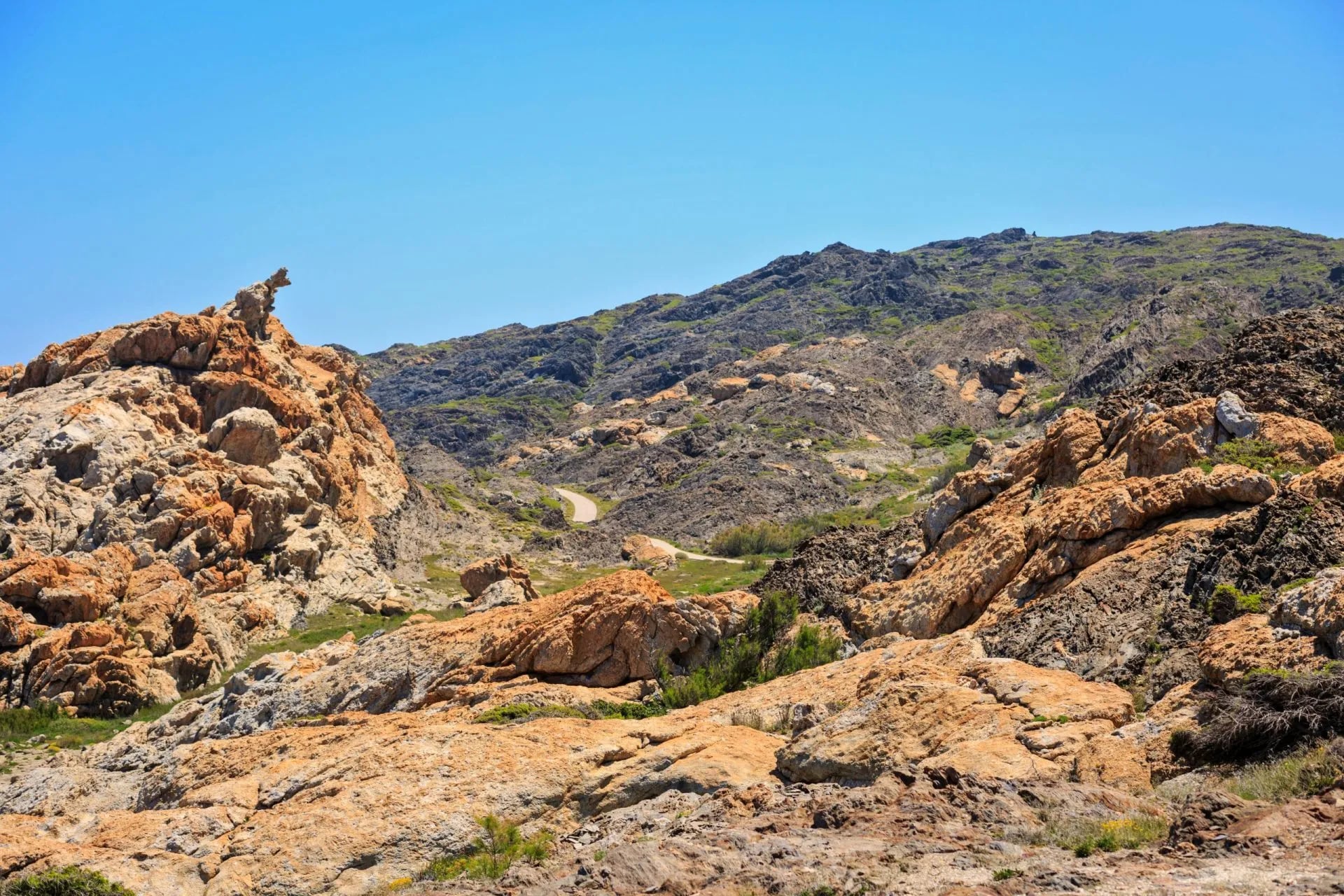
Dalí is everywhere here. His fingerprints are already on this walk: the contorted rock at Tudela, the sanctuary above Girona where he married Gala. Off the trail, the house at Portlligat just outside Cadaqués, the museum at Figueres and the castle at Púbol are all within reach of the route, and Portlligat is the one to choose if you only manage one.
Coast Walking Without the Altitude
The Camí de Ronda asks for less than a mountain traverse and gives back more than its distances suggest. No snow to plan around, no refuges to book across four systems, a bed in a town every night and a cove to swim in most afternoons. What it does ask is that you choose the right sections, because the difference between a rebuilt promenade and a cliff path down to s'Alguer is the whole holiday.
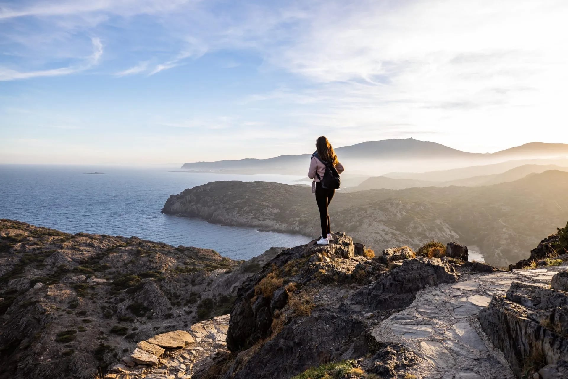
If you would rather walk it than work out the bus timetables, get in touch and we will put the sections that suit you into a route that starts and finishes somewhere you can actually get to.
Frequently Asked Questions

About this author
Suzana is our travel advisor and a hiker who believes the best trails aren't just about the summits. She loves spotting alpine plants, watching wildlife, and the laughs, chats, and snack breaks that make every trail worth walking.


















































.jpg&w=828&q=75)





















