Lycian Way: The Ultimate Guide
Turkey's best-known long-distance path, and the one where almost every published figure disagrees with the next.

Ajda
Published September 30, 2026
Edited September 30, 2026
14 min read
Don't want to read all this?
We've planned 2,000+ hiking trips. Send your dates, fitness and group size — we'll map the route and book every night.



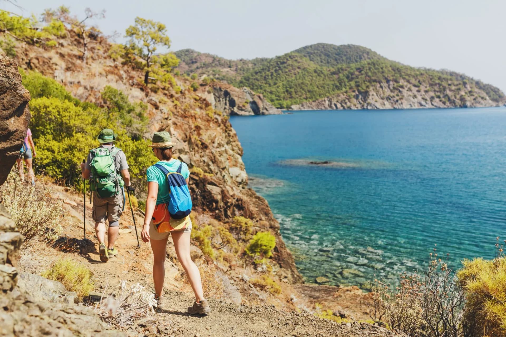
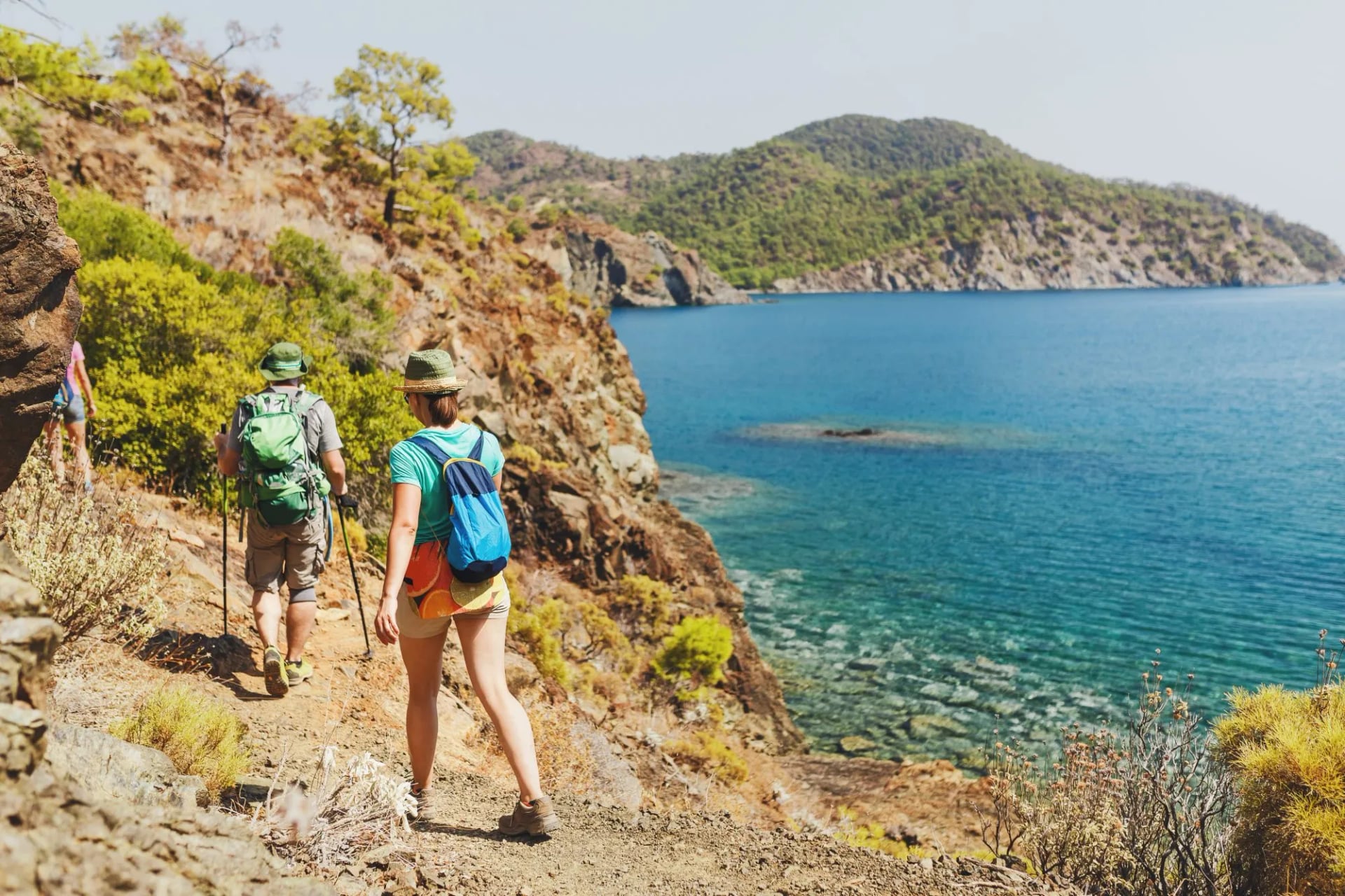
Somewhere between Fethiye and Antalya there is a waymarked path along the Mediterranean that most people meet as a photograph: a thin line of dust above very blue water. It is the reason the majority of walkers who fly to Turkey fly to that coast.
It is also the trail where the basic facts are least settled. Before deciding anything about a Lycian Way trek, it is worth knowing that published lengths for it differ by more than 200 kilometers. That gap changes how many days you need to book.
Where the Lycian Way Trail Runs
The two ends are described differently depending on who you ask. The Culture Routes Society gives the western end as Ölüdeniz, about two hours from Dalaman airport, and the eastern end as Geyikbayırı, with daily buses down to Antalya. Other descriptions put the trailheads at Hisarönü, near Fethiye, and Aşağı Karaman in Konyaaltı.
Both descriptions agree on what matters. The route runs from Fethiye east towards Antalya, and the disagreements are about which village counts as the trailhead rather than about where the walking is.
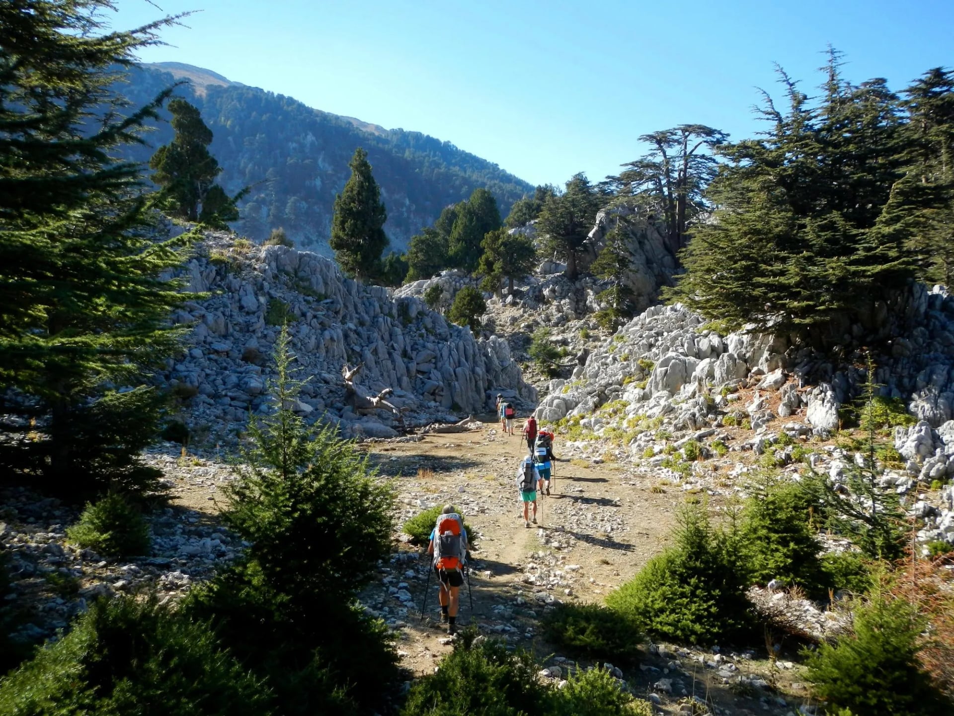
Most people go west to east, which puts the sun behind you for more of the day and saves the higher ground for when you are fit. The waymarking is the French Grande Randonnée convention, a white stripe above a red one, painted straight onto rock and wall as you go.
Rather than 35 separate stages, the route is usually planned in eight regions: Fethiye to Letoon, Letoon to Kalkan, Kalkan to Kaş, Kaş to Demre, Demre to Finike, Finike to Çıralı, Çıralı to Göynük Yayla and Göynük Yayla to Geyikbayırı. Each region is roughly a week of walking, which makes them the useful unit for anyone not attempting the whole thing.
How Long It Really Is
The Culture Routes Society, which researches and maintains the route, publishes it as a 760 km, 35-day waymarked footpath, and that is the figure to plan against, because it is the body that paints the waymarks.
Shorter figures of 520 and 540 km are still in wide circulation, and they are not mistakes. The path has been extended, rerouted and re-waymarked repeatedly since it opened, and the society's own updates record sections moved off forest road and onto new pathway through pine, cedar and olive ground. Those figures were correct when they were taken, which is why a length quoted without a date tells you nothing.
For anyone walking the Lycian Way end to end, use 760 km and 35 stages. Allow five weeks rather than four, because the stage count excludes rest days and the resupply villages do not fall neatly every seventh day.
Which Part to Walk
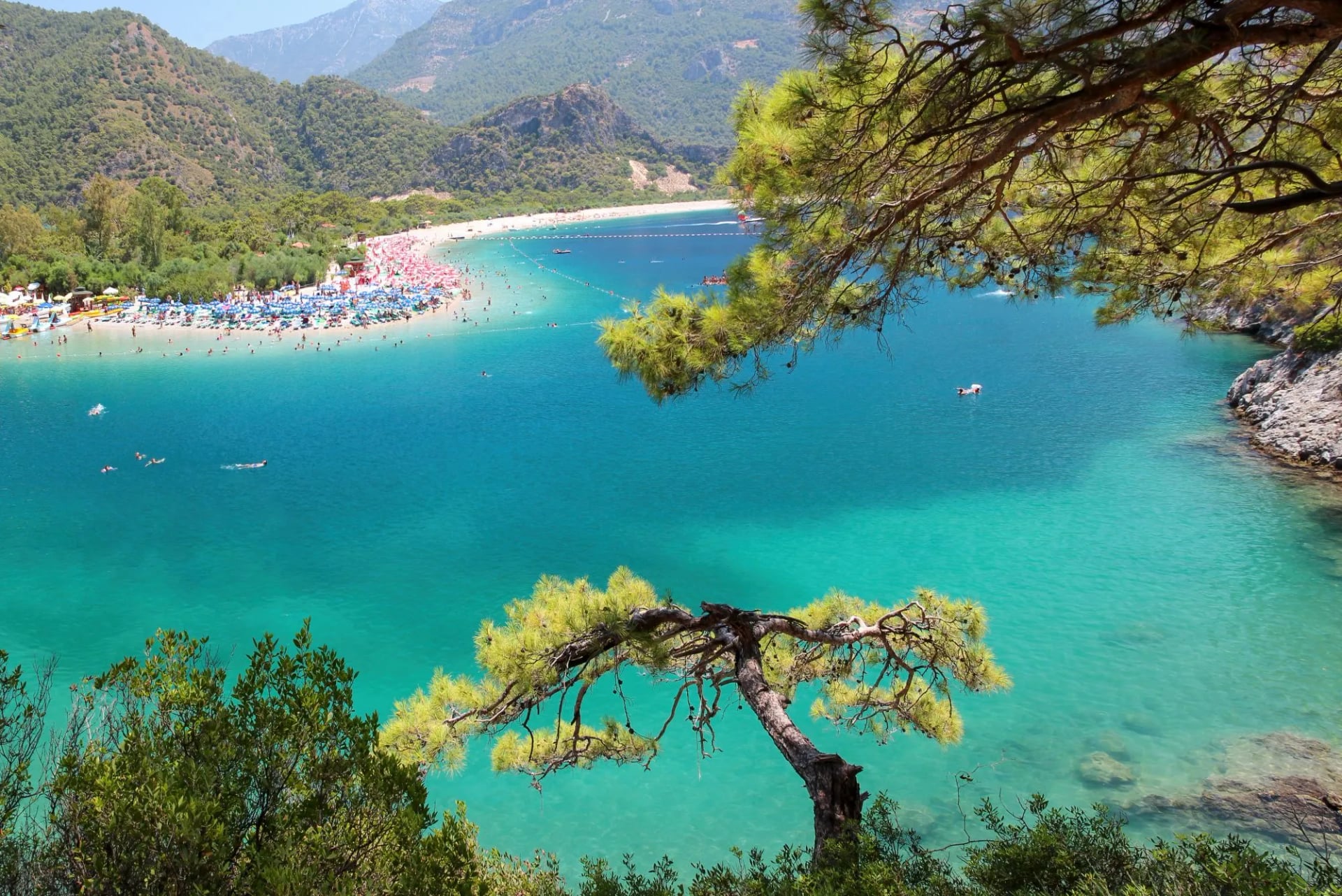
For anyone with one or two weeks rather than five, the first real decision is not which stages but which half, and the two halves have different airports: Dalaman serves the west, Antalya the east. The west holds the honeypots, so Ölüdeniz and its Blue Lagoon are busy in a way nothing in the east is. The west is also the harder of the two halves, which is the part the photographs do not tell you.
Neither of our two weeks touches the middle of the route. The four regions between Kalkan and Finike are not on our itineraries, and anyone booking a second visit will find the quietest walking of the whole trail in there, around Kaş and Demre. Our Turkey page covers what we do run.
The Western Half
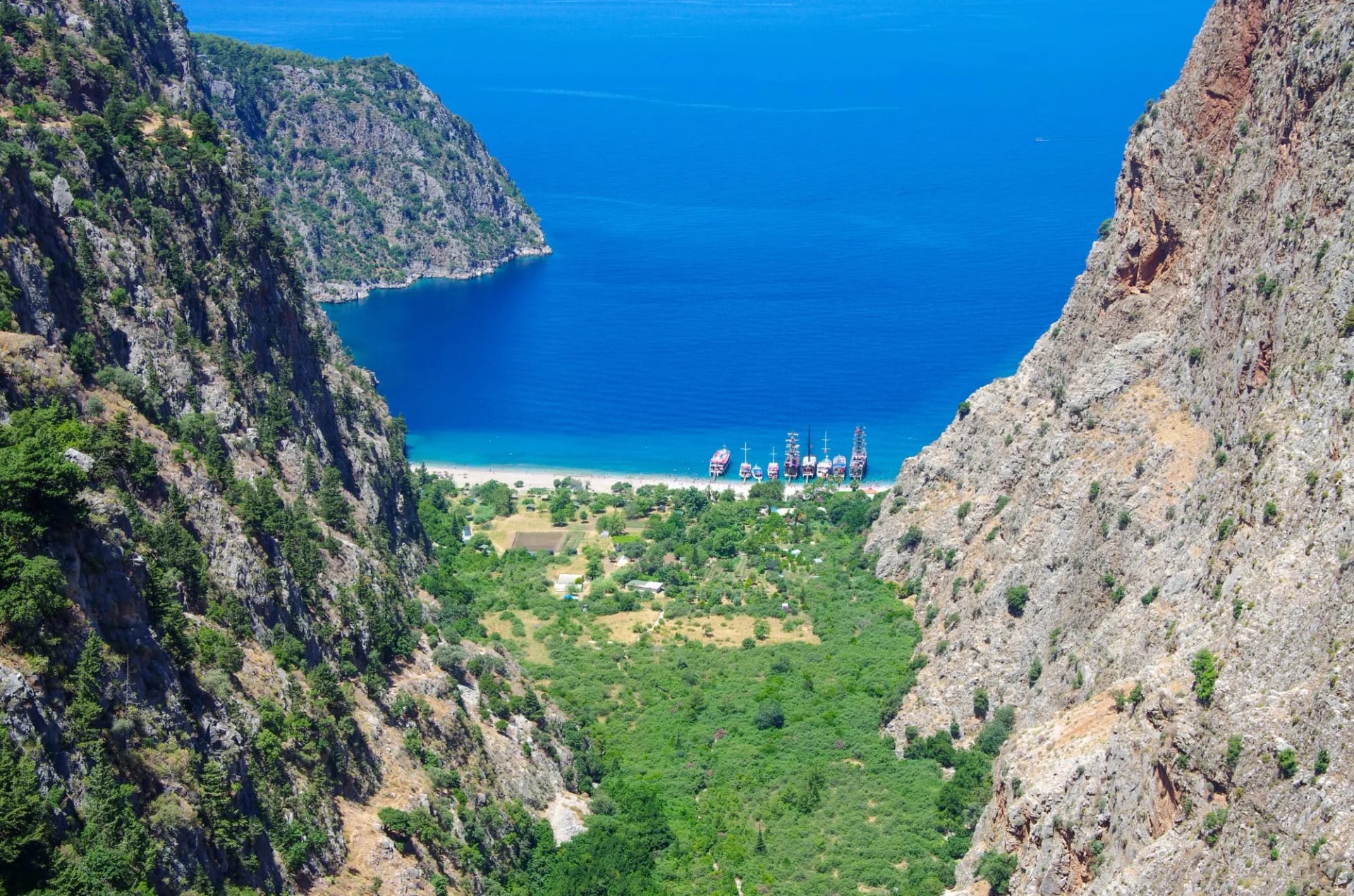
Between Fethiye and Patara the path spends its time high above the sea and then drops all the way back to it. Kayaköy comes early, a hillside of roofless stone houses abandoned in the 1920s that the trail walks straight through, and then the cliffs above Butterfly Valley.
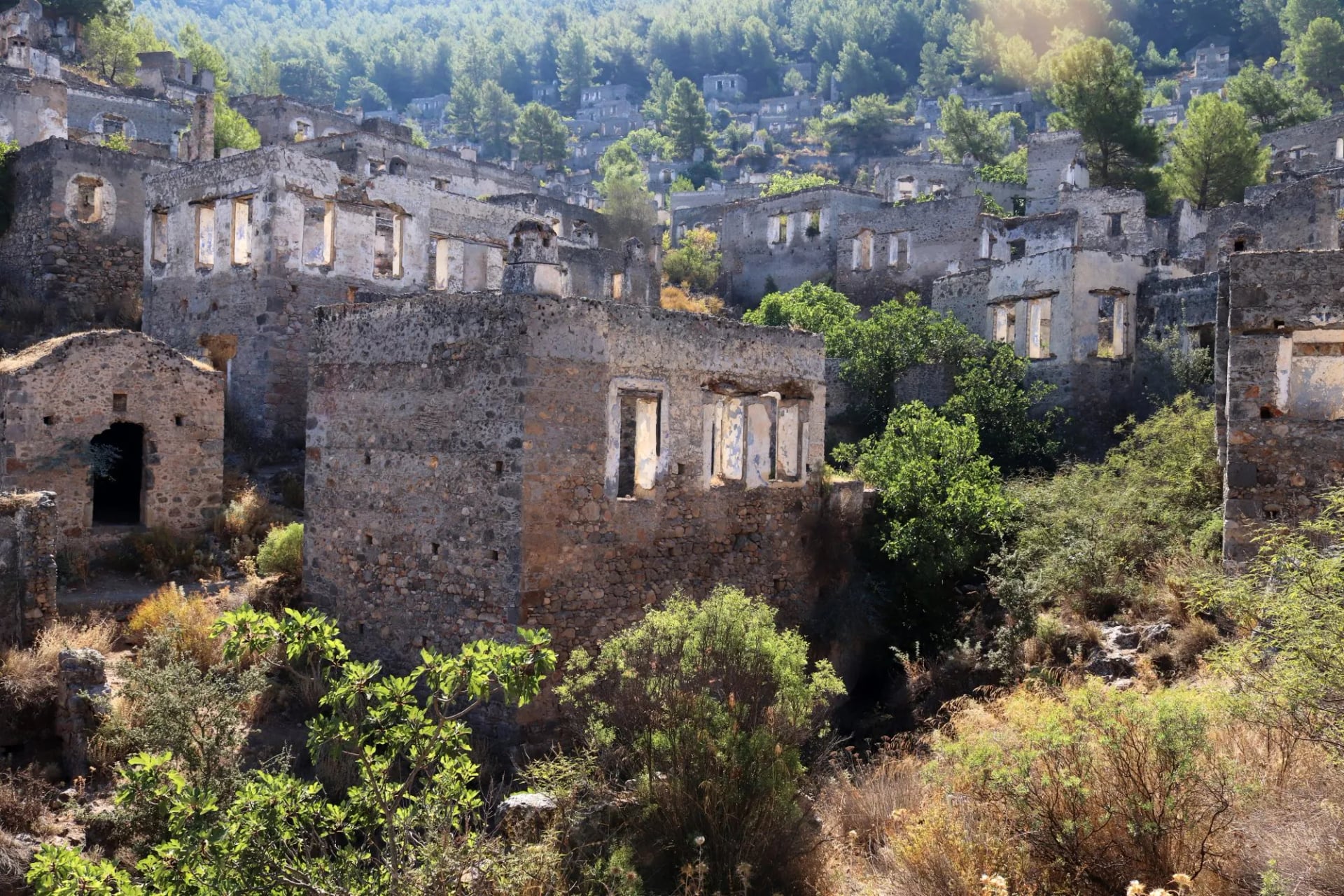
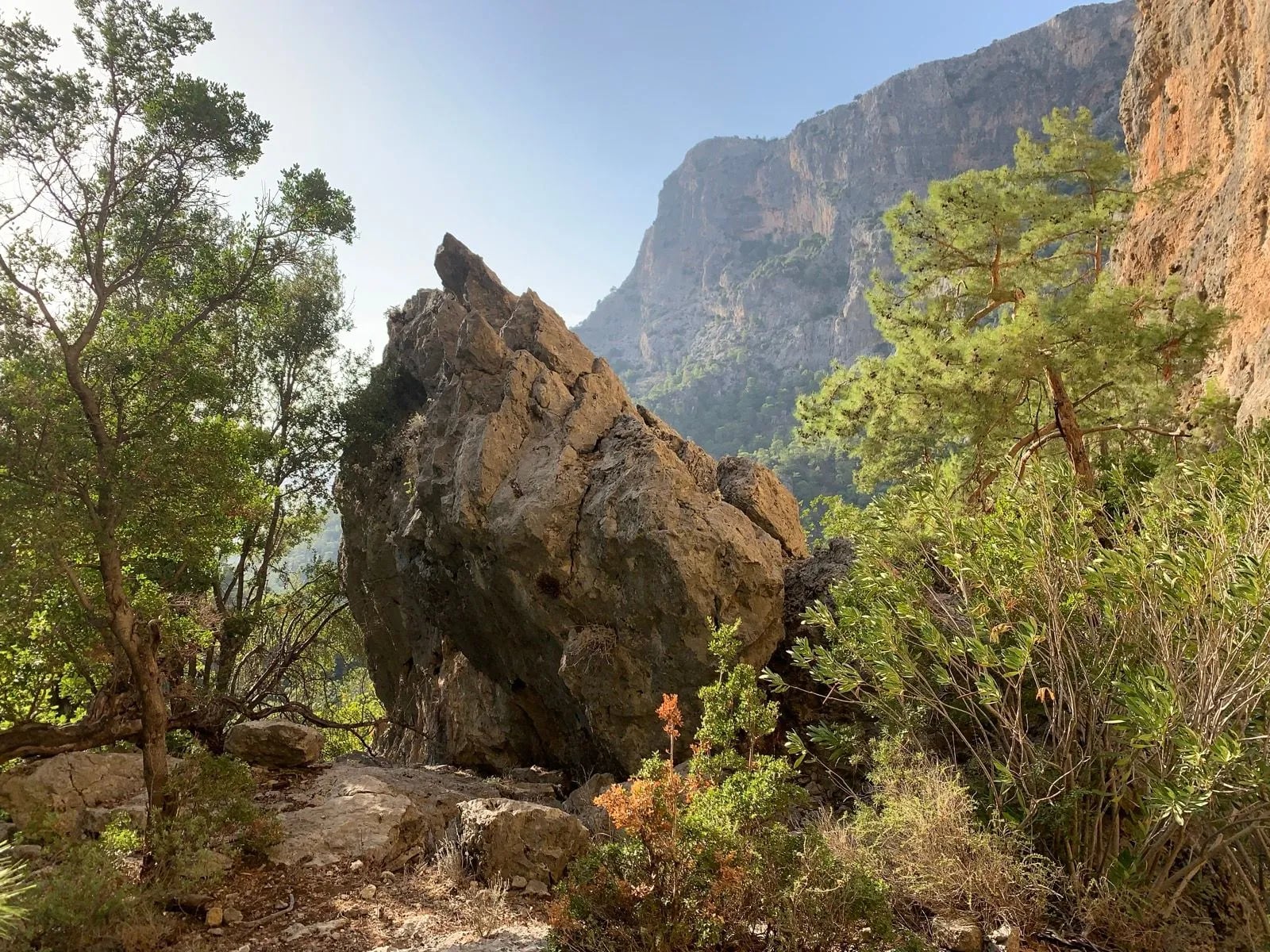
This is the stretch that fills the photographs and it earns the attention. It is also where the climbing is, because the path repeatedly gains most of a thousand meters and gives it back to sea level the same day. Pick the west if you have walked multi-day trails before, and treat any day described as short with suspicion.
At the far end of this half is Patara, where a colonnaded street and the Lycian parliament building stand on flat ground behind one of the longest beaches on the coast. The stretch named most often is Fethiye down to Kabak, and nearly all of it is in this half.
The Eastern Half
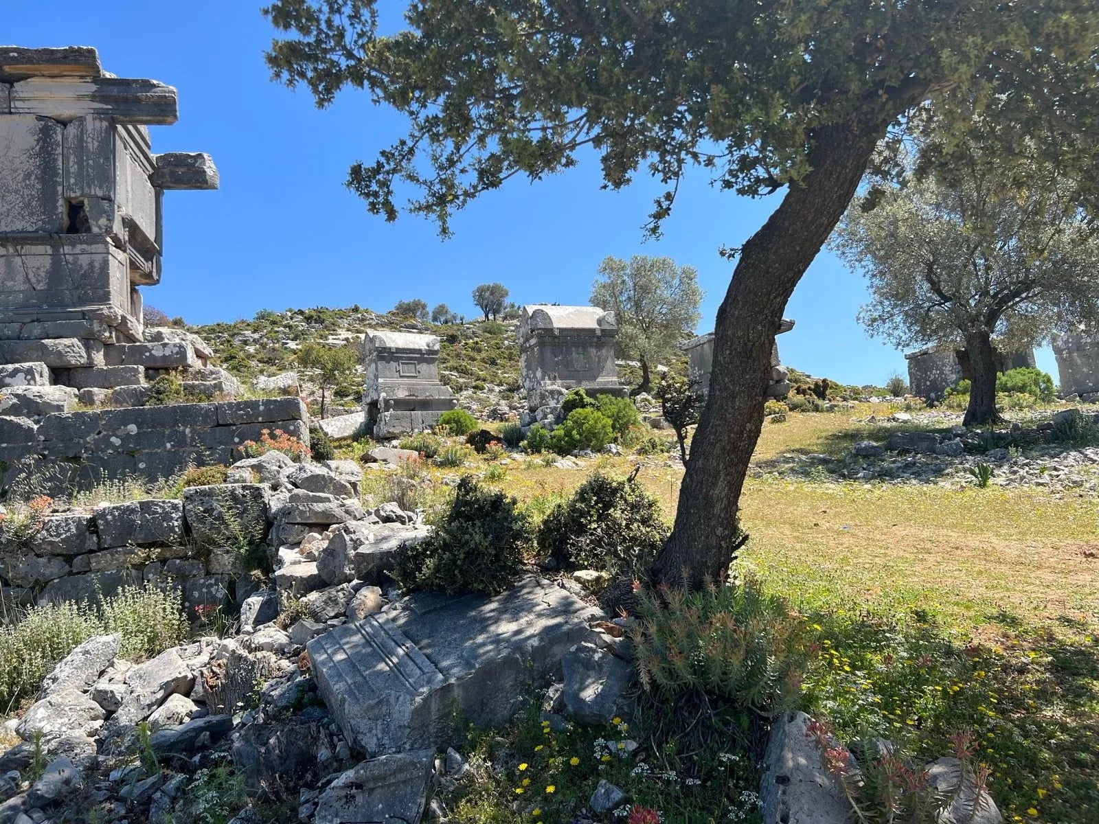
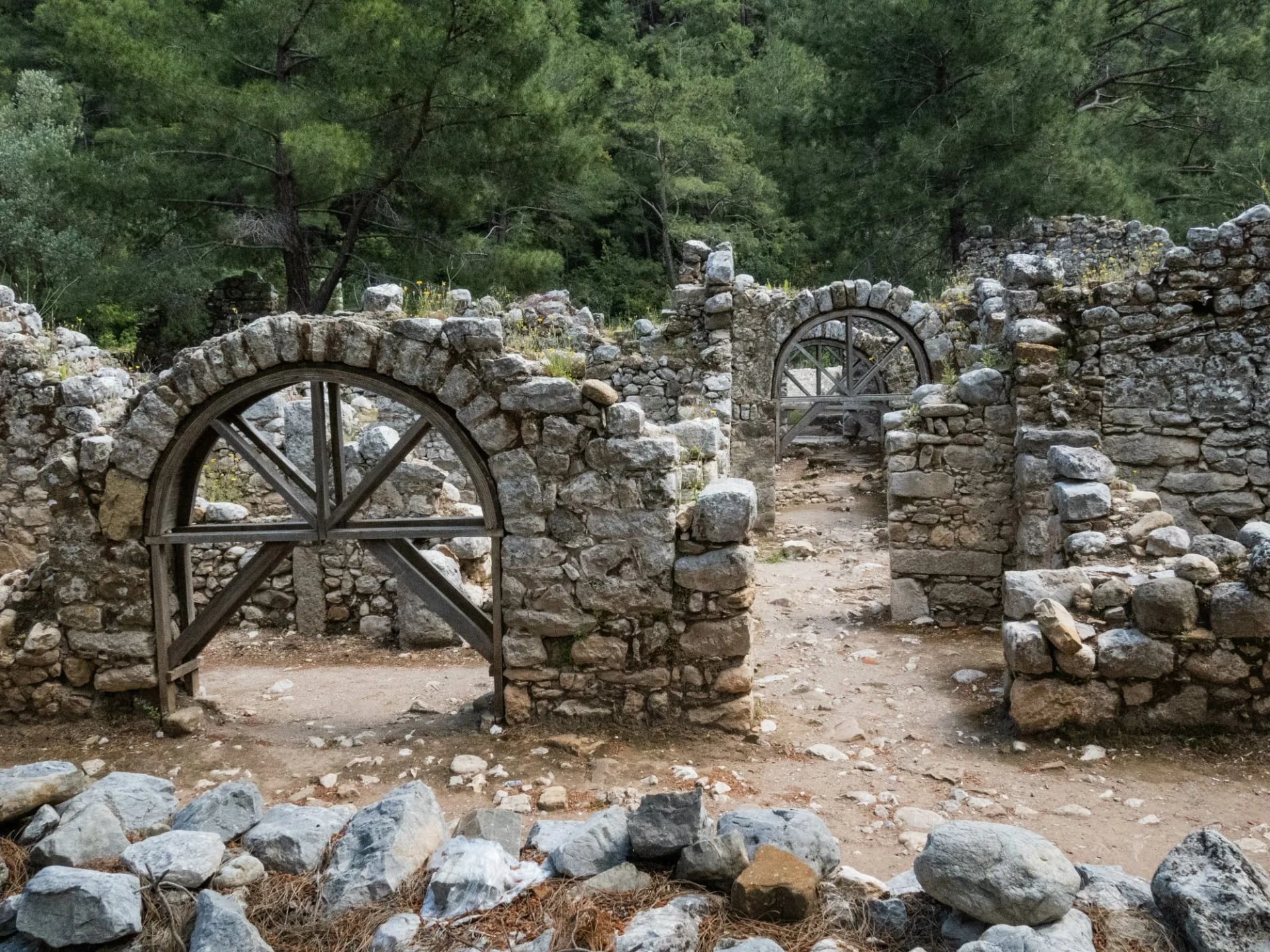
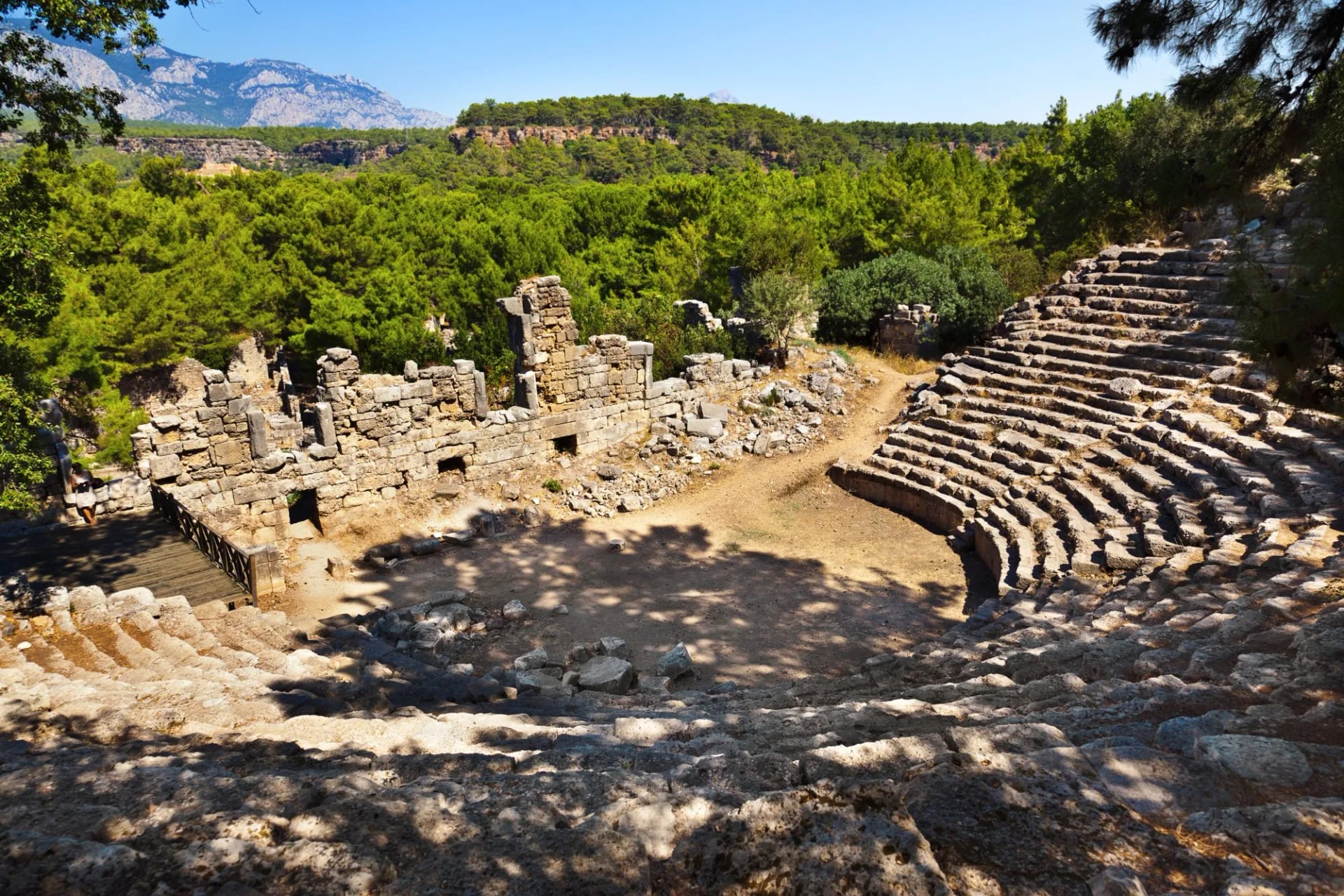
The east trades altitude for archaeology and gets quieter as it goes. Olympos sits directly on the route with a dirt path running between its arched doorways and rubble walls, and Phaselis is much the same a little further north, its theatre seating still stacked under the pines. The ruins here are unfenced and on the path, not a detour with a ticket office.
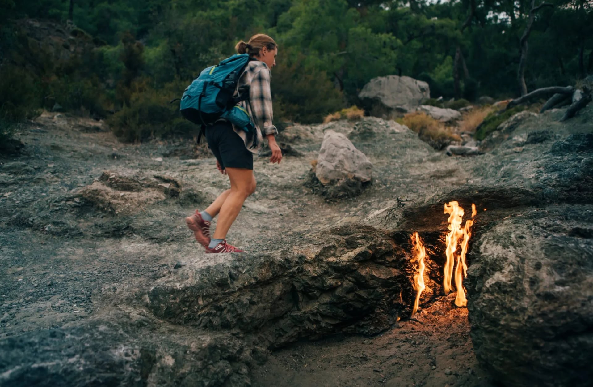
Its signature is Yanartaş, on the slope above Çıralı, where natural gas seeps out of bare rock and burns continuously in a scatter of small vents. The flames are searched for by name on their own, and they have been alight long enough to be the origin of the Chimaera myth that classical writers attached to this coast.
Timing decides whether the walk up is worth it, and the walk itself is short and steep, on built steps for much of the way rather than on trail. Go at dusk rather than at midday, because in full sun the flames are hard to make out at all against the pale rock.
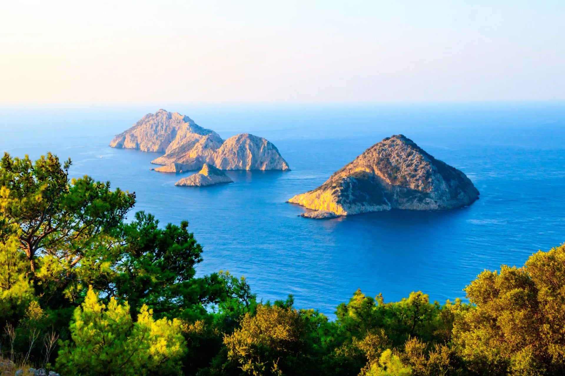
Further east the path rounds Cape Gelidonya below a lighthouse, with a scatter of rocky islets offshore. Choose the east if ruins matter more to you than sea views from height, and if you would rather your days were even than dramatic. This is the better first Lycian Way hiking week for most people, whatever the photographs suggest.
A Day on the Trail
Here is where published guides stop being useful, because almost all of them describe either the whole 760 km or a highlights list, and neither tells you what tomorrow will cost your legs. Our own two Lycian weeks are measured, so these are real numbers.
On the western week, five walking days run 17.5 km, 19 km, 8 km, 17.5 km and 12 km, for 74 km in total. The ascent on those days is 1,000 m, 850 m, 800 m, 700 m and 190 m: 3,540 meters of climb in five days on a coastal trail, which is more than most people expect of a route that never leaves sight of the sea.
Look at the third day. Eight kilometers, 800 meters of ascent. That is 100 meters of climb for every kilometer walked, and it is the day people book because it looks like a rest.
Now the figure nobody publishes. The descents across that same week are 650 m, 1,100 m, 300 m, 750 m and 860 m, so the second day drops 1,100 meters off the cliffs above Butterfly Valley and the last drops 860 meters in only 12 kilometers. Descent, not ascent, is what ends people on this coast, because the ground is limestone and loose stone rather than graded track.
There is also nothing to bail out onto. No cable car, no rack railway and no hut network exists anywhere along the route, so a day that goes wrong has to be walked out, which is the practical difference from an Alpine trail of similar length.
The eastern week is steadier by design: 19.5 km, 15 km, 15.5 km and 21.5 km across four walking days, 71.5 km in total, with ascents of 720 m, 400 m, 760 m and 880 m. No eastern day climbs beyond 880 meters, and two of those days are close to flat by comparison.
One last point on distance. The 21.5 km day is the longest on either week and it is in the east, on the gentler half. Length and difficulty are not the same thing here, so sorting days by kilometers gives you the wrong answer about which one to worry about.
When to Walk It
The Culture Routes Society's own advice is February to May or September to November. Summer on this coast is too hot for long walking days, which is the opposite of the Alpine calendar and catches out people booking their usual hiking month.
Inside that window the society makes a recommendation almost nobody repeats: it particularly recommends February, often warmer and sunnier here than March. If you can travel outside school holidays, that is the cheapest, quietest and frequently the most pleasant month on the trail.
Autumn behaves differently from spring. September still holds summer heat on the exposed sections while the sea is at its warmest, and November brings the first real rain along with short days. Spring gives you flowers and water, autumn gives you swimming, and the sea stays warm enough for it well into October.
The two halves respond to that differently. The west's high traverses are more exposed in heat with less shade on the climbs, while the east's forest sections hold humidity. Book the west earlier in spring and the east later in autumn if you have the choice of either.
Maps, Apps and GPS Tracks
There is no single official Lycian Way map covering the whole route. The society sells three walking sheets at roughly 1:70,000, split Western, Central and Eastern, alongside an English guidebook published in December 2022.
Its maps and apps page carries the warning that matters most. The society is blunt that most crowd-sourced hiking apps do not show the current state of the trail after the reroutes, and points walkers at OsmAnd instead.
It calls OsmAnd the official OpenStreetMap app and describes Hiiker as almost correct. Do not plan a day off a crowd-sourced track, because the reroutes since 2017 mean an old file can show a path that is no longer waymarked or no longer there.
Official GPX and KML tracks do exist, and the society supplies them to people who have bought the guidebook rather than publishing them free. On a self-guided week that hardly matters, since route notes and tracks come with the trip, but for an independent walk the official tracks are a purchase, not a download.
Know Before You Go
Fake waymarks are a real hazard, and the society lists them. Red and white stripes have been painted to pull walkers off the route between Kaş and Boğazcık near the Purple House, at Boğazcık towards a particular pension, and in Beycik by competing cafes. Cross-check a map when a mark appears where you did not expect one.
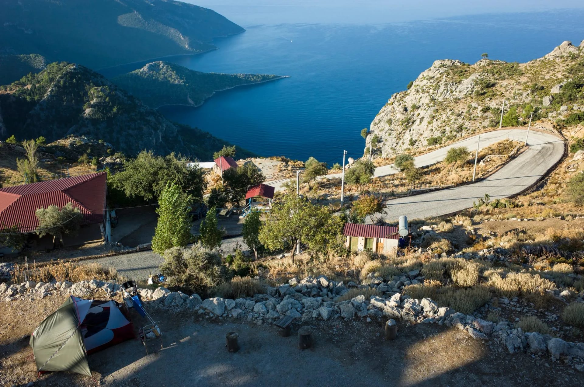
Accommodation runs along almost the whole route. The society states that apart from three high-level sections, every night can be spent in a village house, pension or small hotel, and that independent walkers find plenty of wild camping places with water nearby. Those three high sections are the ones needing planning, not the rest of it.
Water is a daily constraint rather than an occasional one. Villages and cisterns are frequent enough in spring and thin out badly by autumn, and one recent reroute runs through forest with no source on it at all. Carry for a full day, not to the next village.
The society's route updates page is the best public record of closures and diversions, with one caveat worth saying plainly. Its most recent entry is dated September 2020, so treat it as a list of changes you should know about rather than as a current bulletin.
Two practical notes to close on. Carry cash, because village pensions and the stands selling tea along the path are not reliably card-taking, and 112 is the single emergency number in Turkey. Entry rules and passport validity change, so check your own government's advisory before you book.
Our Lycian Way Walking Weeks
Both of our Lycian trips are self-guided, with luggage moved between hotels and pensions and route notes provided; how that works is set out in self-guided tours explained. Everything else Turkish sits on our Turkey page.
Said plainly, each week covers roughly a tenth of the route. Anyone wanting all 35 stages needs the guidebook and five weeks, not a packaged holiday.
West Lycian Way Highlights
Distance: 74.0 km across 7 days
Ascent: 190 m to 1,000 m a day
Sleeping: hotels and pensions, luggage moved
Terrain: coastal limestone, repeated descents to sea level
Fethiye, Ölüdeniz, Kabak, the high traverse past Alınca and then down towards Patara, in five walking days. The first climbs 1,000 m, the second drops 1,100 m, and the 8 km day is nobody's rest day at 800 m of climb.
Book it if your knees are sound and you have done consecutive walking days before. Most packaged Lycian weeks default to this half, so choose it for the scenery and accept the descents, which are the real work of the week.
Best of The East Lycian Way
Distance: 71.5 km across 6 days
Ascent: 400 m to 880 m a day
Sleeping: hotels and pensions, luggage moved
Highlights: Olympos, the Chimaera flames, Cape Gelidonya
Four walking days from Tekirova round to Karaöz, with a loop day up to the Chimaera flames from Çıralı and the ruins at Olympos and Phaselis on the path itself. Antalya rather than Dalaman is the airport for this one.
Take it as the more even of the two weeks. The longest single day on either trip is here at 21.5 km, but nothing on it climbs past 880 m, which makes the grading hold together better than the west's.
Frequently Asked Questions
How difficult is the Lycian Way?
Harder than the elevation profile suggests and easier than the length. The trail tops out around 1,810 m, so altitude is never the issue, but it climbs and drops to sea level repeatedly on loose limestone. Cumulative descent is the limiting figure, and our western week takes 3,540 m of ascent across five days.
How many days do you need to hike the Lycian Way?
The route's own society publishes 35 stages, so allow about five weeks for the whole thing including rest days. One week covers a single region properly, which is what both of our trips do.
Which part of the Lycian Way is the most scenic?
The western half, and within it the stretch from Fethiye down to Kabak. It is the section that fills the photographs — high traverses above the sea, Kayaköy's roofless houses, the cliffs above Butterfly Valley — and it is also where the climbing is. Scenery and effort run together on this trail, so the most photographed half is the one to train for.
Can you hike the Lycian Way from Antalya?
Yes, from the eastern end. Geyikbayırı is the eastern trailhead and has daily buses down to Antalya, so the whole eastern half sits within reach of Antalya airport. Dalaman serves the western half instead, about two hours from the Ölüdeniz end. The airport follows the half you choose, so decide west or east before booking flights.
Is it safe to hike the Lycian Way?
Yes, with two specific cautions rather than a general one. Fake waymarks have been painted near Kaş, Boğazcık and Beycik to divert walkers towards particular businesses, and water sources thin out badly in autumn. The real risks are navigation and dehydration, not crime or wildlife.
How many kilometers is the Lycian Way, really?
760 km over 35 stages, according to the body that maintains and waymarks it. The 520 km and 540 km figures are older measurements, taken before the route was extended and rerouted, rather than mistakes.

About this author
Ajda is our travel advisor, raised in a village surrounded by mountain peaks. Hiking entered her life early on and remains her favorite way to reconnect with nature.











.jpg&w=828&q=75)




















































.jpg&w=828&q=75)























