Great Glen Way: Atlantic to North Sea in Six Days
Walk the length of Loch Ness on the Great Glen Way, 125 kilometres from Fort William to Inverness, with every stage, its ascent and the high route decision.

Suzana
Published September 9, 2026
Edited September 30, 2026
20 min read
Quick links
Don't want to read all this?
We've planned 2,000+ hiking trips. Send your dates, fitness and group size — we'll map the route and book every night.



Scotland is cut in half by a straight line you can see from space. It runs corner to corner across the country. Nothing else in Britain looks like it on a map.
The Great Glen runs 100 kilometres from Fort William on the Atlantic to Inverness on the North Sea, dead straight, with lochs strung along its floor. No river carved it. It is a fault, and the trail through it is the gentlest long-distance walk in the Highlands.
The Great Glen Way runs 125 kilometres, or 78 miles, from Fort William to Inverness. It opened in 2002, it is waymarked from end to end, and it is one of Scotland's Great Trails. Most walkers take five to seven days, sleeping in villages along the way. Our guide to hiking in Scotland sets it beside the country's other waymarked trails.
This guide covers the Great Glen Way stages with their real ascent figures, the high route decision, and the practical questions that decide whether the week works. The route authority publishes stage maps and diversions on the Highland Council's Great Glen Way site. For the wider picture of walking in the country, see our Scotland hiking tours.
Why Walk the Great Glen Way
Scotland's famous trail is the West Highland Way, and most people walk that one first. The Great Glen Way is the better choice more often than its reputation suggests. Three reasons decide it, and none of them is about scenery.
It is the flattest long trail in the Highlands. Three of the six stages climb under 250 metres, and the main route tops out at 375 metres in Abriachan Forest. Compare that with a trail crossing open mountain and the difference is a category, not a margin.
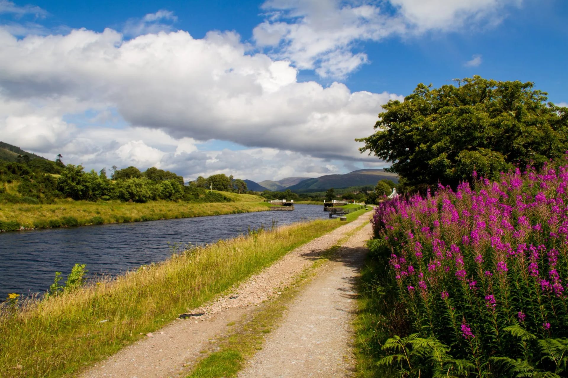
The surface is made, not natural. Long sections run on canal towpath, forestry road and old military road, so the walking is firm underfoot even after rain. Scottish hill paths turn to peat and root in a wet week, and this one largely does not. Firm ground is the reason first-time long-distance walkers finish this trail, and it is the reason six days in a row is realistic.
It is a corridor, not a wilderness. A village appears every 15 to 20 kilometres, the A82 runs the length of the glen, and buses connect most of it. You are never committed the way you are on a mountain crossing, so a bad day gets shortened rather than survived.
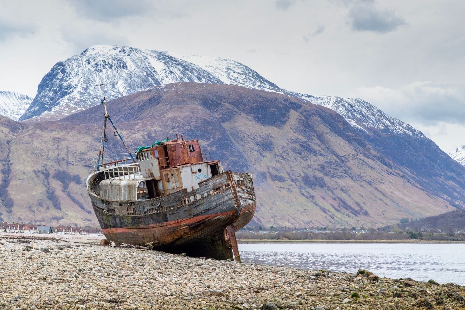
The trade-off is worth stating plainly: you walk beside big mountains rather than over them. Ben Nevis is behind you within an hour and you never touch a summit. If you want ridges, this is the wrong trail.
The Route, Stage by Stage
Most people walk the trail in six days, west to east. The figures below are the stage distances and ascent from our own routing, which covers about 120 kilometres over six walking days against the trail's full 125. Each stage ends in a village with beds, so the day lengths are set by settlement rather than by terrain.
Fort William to Gairlochy
Distance: 17 km
Ascent: 80 m
Finish: Gairlochy, at the top of the first lock flight
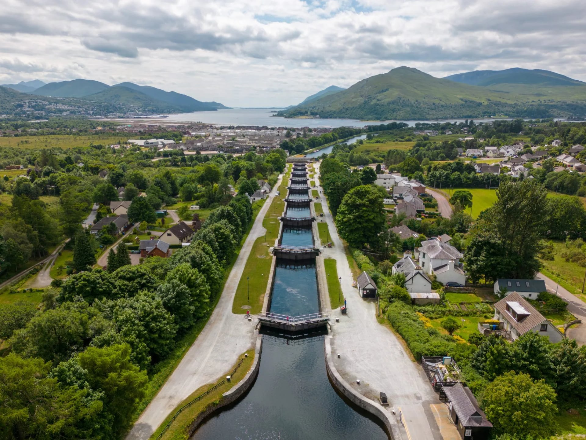
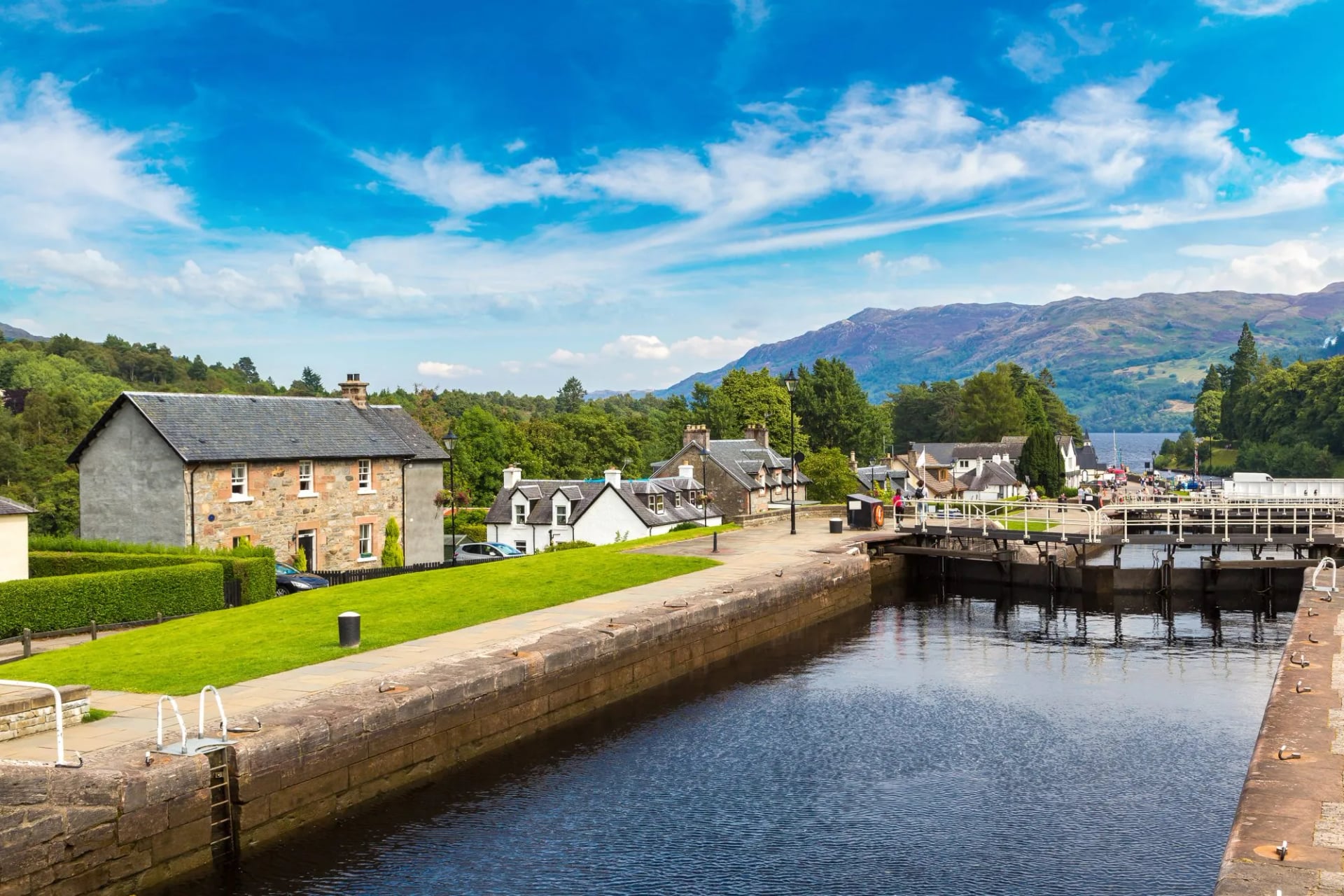
Few long-distance trails open this gently. You leave Fort William along the Caledonian Canal and pass Neptune's Staircase, where eight locks lift boats 20 metres in a single flight, the longest staircase lock in Britain.
After that the towpath runs level for most of the day, with Ben Nevis over your shoulder for the first few kilometres. Eighty metres of ascent across 17 kilometres is as flat as Scottish walking gets. It is a deliberate easing-in rather than a wasted day.
Gairlochy to Laggan
Distance: 19.5 km
Ascent: 235 m
Finish: South Laggan, at Laggan Locks
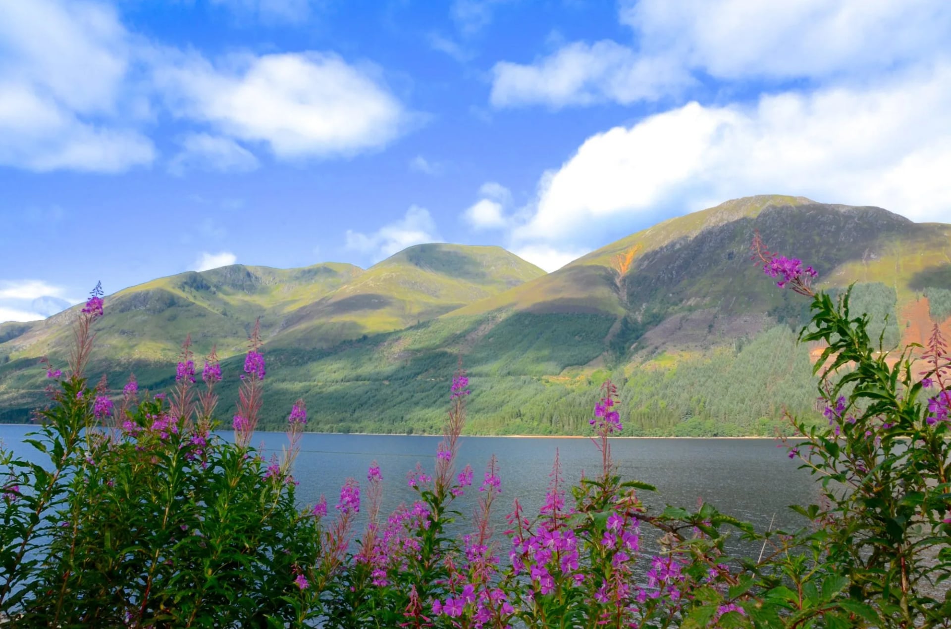
Your first full day follows the western shore of Loch Lochy through forestry. The loch runs about 16 kilometres and reaches 162 metres deep, and the Loch Lochy Munros rise steeply on the far side. The path weaves between the water and the trees for most of it.
By the second morning the glen's shape is obvious. The walls run parallel, the lochs are long and narrow, and everything points northeast. The day ends at Laggan Locks, where the canal lifts boats between Loch Lochy and Loch Oich.
Laggan to Fort Augustus
Distance: 17 km
Ascent: 115 m
Finish: Fort Augustus, at the head of Loch Ness
Today runs on old infrastructure: a disused railway line, an 18th-century military road and the canal towpath in turn, along the eastern shore of Loch Oich. At about 32 metres above sea level, Loch Oich is the summit of the whole canal. Every lock after this one goes down.
The Leiterfearn reserve holds old oak and birch, a remnant of what covered the glen before the plantations. Fort Augustus at the end is the halfway point and the head of Loch Ness. A five-lock staircase runs through the middle of the village, and a yacht takes about an hour to work down it.
Fort Augustus to Invermoriston
Distance: 12 km
Ascent: 250 m
Finish: Invermoriston
At 12 kilometres this is the shortest stage and the first one that climbs. The trail leaves the water and works up through birch and pine on the western side of Loch Ness, with the loch appearing between the trees below.
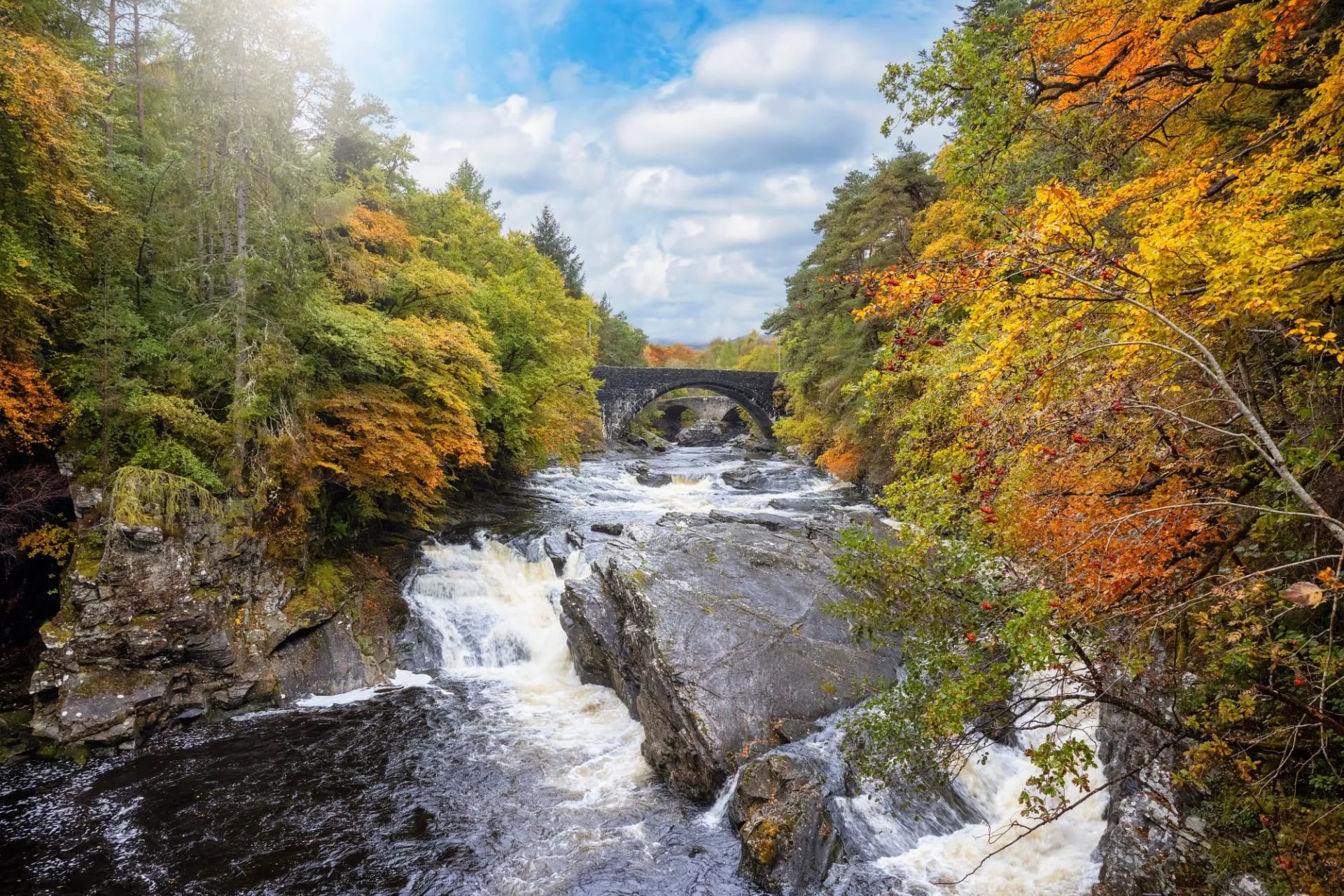
Twelve kilometres sounds like a half day and walks longer, because the 250 metres of climbing comes in short steep pulls. Invermoriston at the end has a bridge Thomas Telford completed in 1813 standing above a set of falls. The ten-minute detour to see it is the best short walk on the trail.
Invermoriston to Drumnadrochit
Distance: 22 km
Ascent: 690 m
Finish: Drumnadrochit
Expect the hardest day on the trail by a wide margin. Its 690 metres of ascent is the most of any stage, about a third more than the long final day, and this is where the high route option matters most.
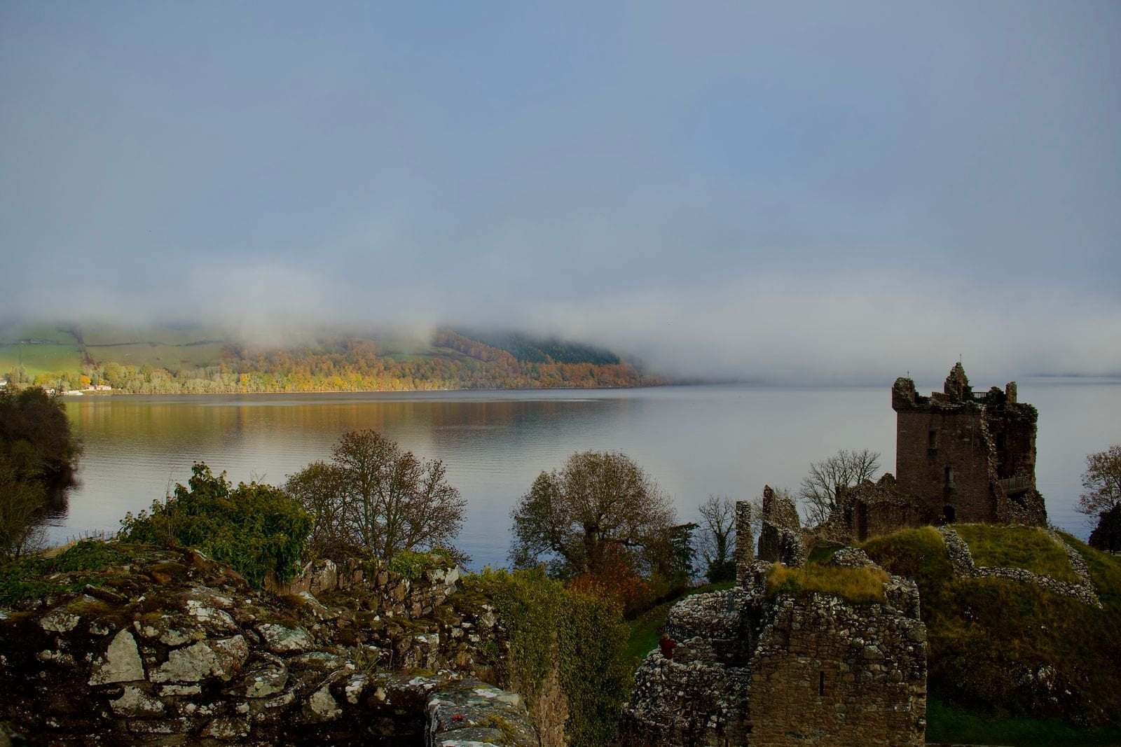
The path undulates along the flank of the glen above the loch, in and out of forestry, with the best sustained views of the walk. Urquhart Castle sits below on its promontory near the end of the day, and the detour down adds about an hour. Drumnadrochit keeps two visitor centres devoted to the Loch Ness Monster.
Drumnadrochit to Inverness
Distance: 30.5 km
Ascent: 515 m, topping out at 375 m in Abriachan Forest
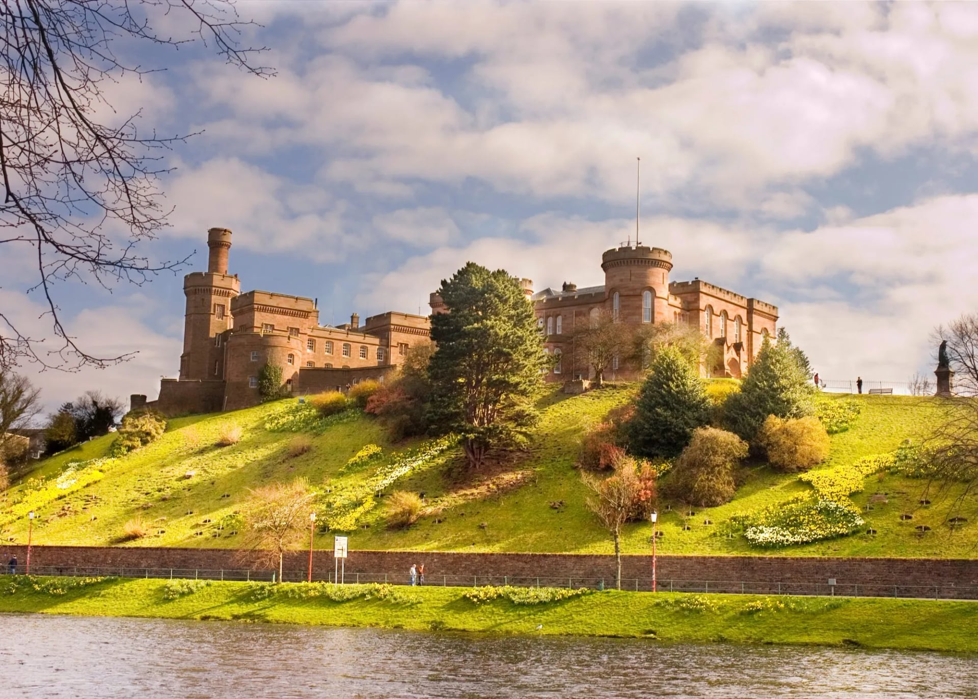
Finish: Inverness Castle
Save something for this one. It is the longest day of the six and the one most walkers split or shorten by shuttle. The trail climbs out of Drumnadrochit to Abriachan Forest at 375 metres, the highest ground on the main route, then crosses moorland before descending the River Ness.
The finish is a good one. You come down through the Ness Islands, a chain of wooded islands linked by Victorian footbridges, and end at Inverness Castle above the river. After six days in a glen, arriving in a city of about 47,000 people on foot is a strange and satisfying way to stop.
Low Route or High Route
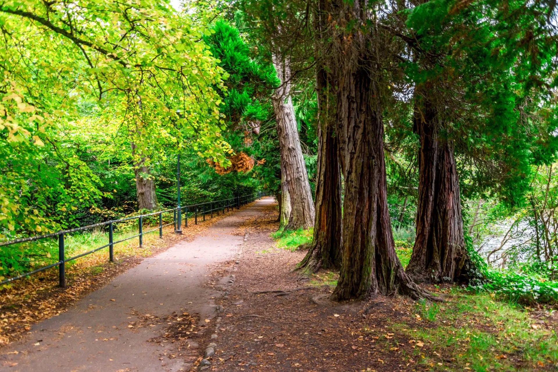
Between Invermoriston and Drumnadrochit the trail splits in two, and this is the only real decision on the walk. Most descriptions of the Great Glen Way high route mention it in a line and move on. It deserves more than that, because the two options make very different days.
The low route stays close to the loch, and it is shorter and easier underfoot. It is the sensible choice in poor visibility, when the higher ground gives you cloud instead of a view. It is also the choice if you want the 22 kilometre stage to be as short as it can be.
The high route climbs to 422 metres, the highest point on the whole trail, and delivers the panorama the rest of the walk is short of. Sight lines run from Ben Nevis in the southwest to Inverness in the northeast. It adds climbing to a day that is already the hardest, and it is exposed once you are up.
The rule of thumb is simple. Take the high route if the forecast is clear and your legs are good after four days. Take the low route if the cloud base sits below about 400 metres, because the extra effort buys nothing you can see.
Decide the night before rather than at the junction. Check the summit forecast on the Mountain Weather Information Service, which gives cloud base and wind at altitude instead of a valley reading. The signed split comes early in the day, when you are still fresh enough to talk yourself into the wrong one.
How Hard Is the Great Glen Way
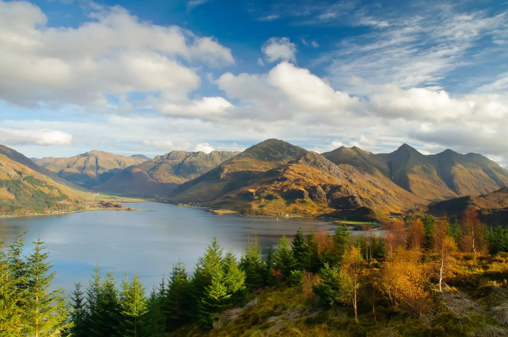
Easier than its length suggests, because the difficulty is concentrated rather than spread. Four of the six stages are gentle, and the other two are the climb to Drumnadrochit and the long final day. That shape matters more than the 125 kilometre total when you are deciding whether you can do it.
The demand is daily distance rather than terrain. Stages of 17 to 22 kilometres on firm ground suit anyone who walks regularly, but six back to back is a different ask from one long Sunday. Our routing grades the week fitness 3 of 5, technical 2 of 5.
Two things catch people out. The Invermoriston to Drumnadrochit stage carries 690 metres of ascent, more than the previous three days put together. The final stage into Inverness is around 30 kilometres, and it arrives when you are five days in.
Neither needs skill beyond walking. There is no scrambling, no exposure on the main route and no navigation problem, because waymarking is continuous. Our guide on training for hiking covers what six consecutive days requires.
Which Direction to Walk
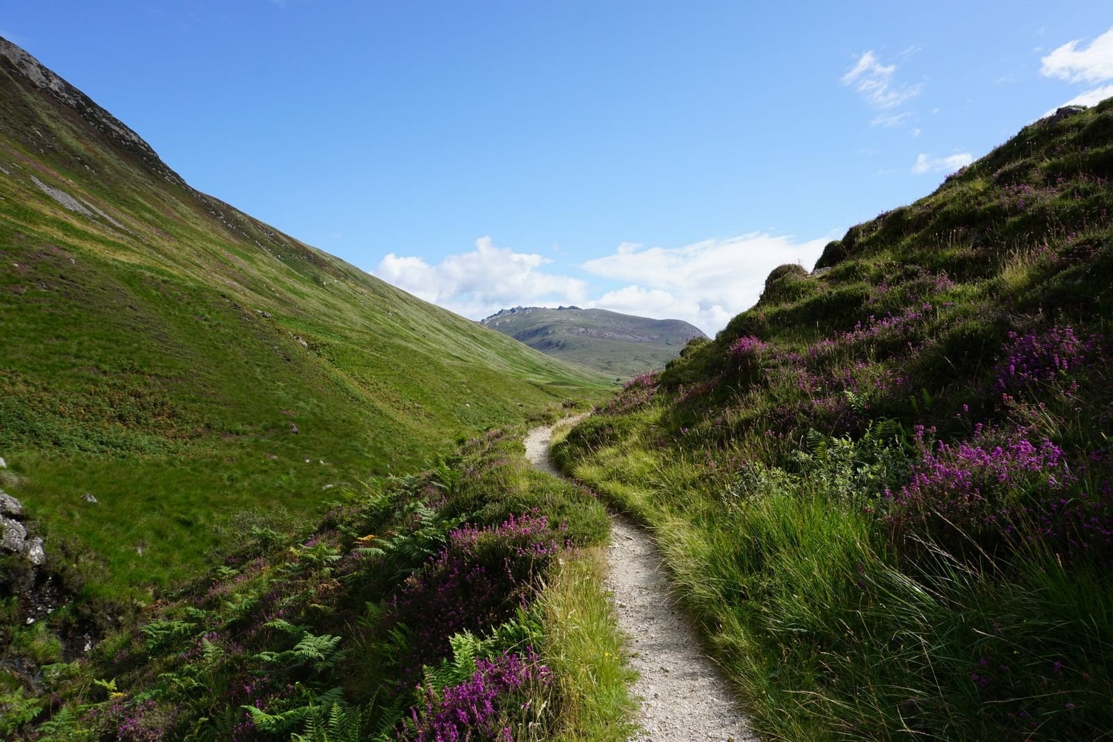
Almost everyone walks west to east, Fort William to Inverness. There are three good reasons to follow them rather than be contrary, and only one worth arguing against. Direction is worth deciding deliberately, because it changes the week more than people expect.
The prevailing wind comes from the southwest, so walking east puts it behind you. The route also gets harder that way: 80 metres of ascent on day one against 690 on day five, so the early stages train you for the late ones. Finishing at a city with an airport and a mainline station beats starting at one.
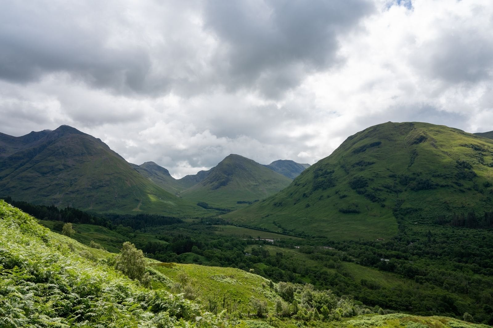
East to west has one argument for it. You finish under Ben Nevis at 1,345 metres, with the mountains growing ahead rather than shrinking behind. If scenery matters more than logistics that is a fair trade, and beds book the same way either direction.
When to Walk the Great Glen Way
May, June and September are the best months, and the season runs April to October. The glen is low, sheltered and leans east at the Inverness end, out of the worst of the Atlantic weather. That gives it a noticeably longer usable season than the west coast trails.
May and June bring the longest daylight and the driest average conditions, with up to eighteen hours of light around midsummer. The midge is not yet at full strength. That matters here, because the forestry and canal sections are exactly the damp, sheltered ground it likes.
July and August bring warmth, school holidays and peak midge together. Beds in the small villages become the constraint, not the weather. A head net is not optional on a still evening by the canal.
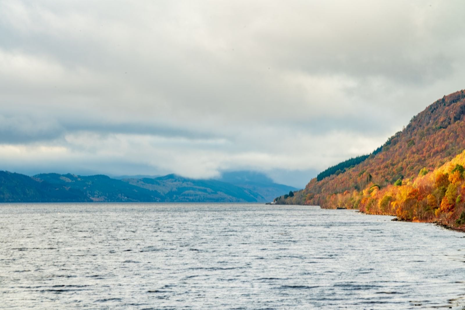
September is the quiet reward, when the midge collapses, the birch turns and the trail empties. October is still walkable, though daylight shortens fast. That matters most on a 30 kilometre final stage you do not want to finish in the dark.
Winter walking here is possible but rarely worth it. Several guesthouses close between November and March, and the short days turn the long stages into a scramble. The trail stays open; the infrastructure does not.
The Glen Itself
Most guides describe the view. The glen is more interesting than that, and knowing what you walk through changes the week.
The Fault Under the Trail
No river carved this valley. The Great Glen sits on a strike-slip fault, where two blocks of crust ground sideways past each other. The rock on one side does not match the other, which is how the movement was first measured.
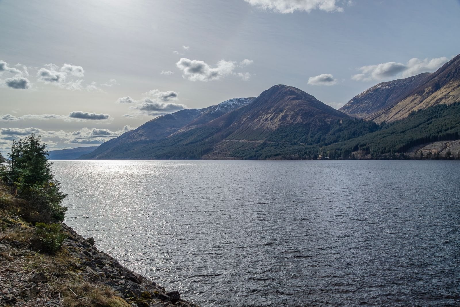
Glaciers later exploited that weakness, scouring the basins now filled by Loch Lochy, Loch Oich and Loch Ness. That is why the glen runs straight when Scottish valleys usually do not. It is also why the three lochs sit in a line.
Small earthquakes are still recorded along the line, unusual enough in Britain to notice while you walk it. None is large enough to feel. The fault has been quiet in human terms for a very long time.
Telford's Canal
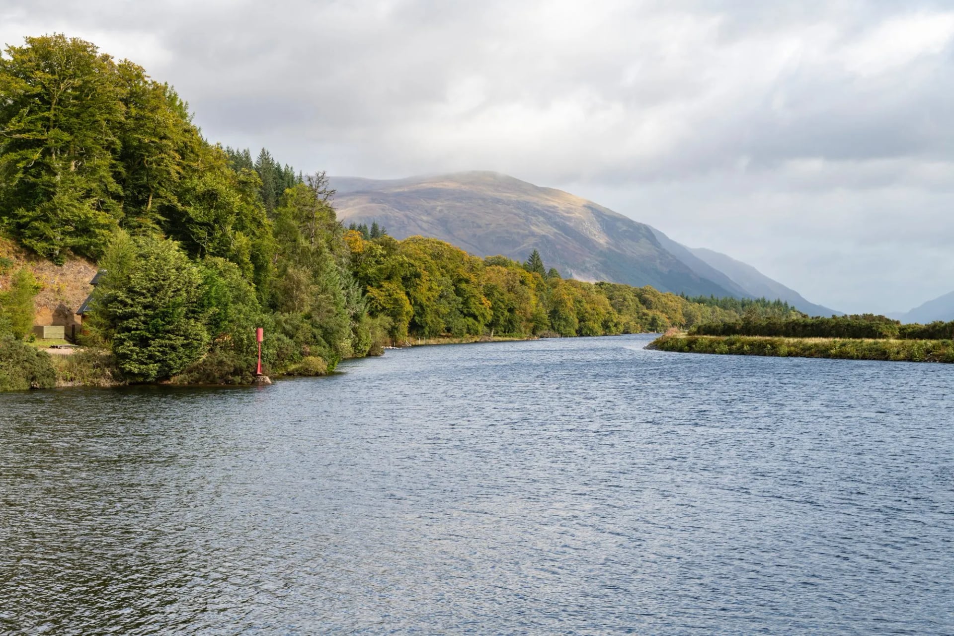
Ships once rounded the north of Scotland to cross between coasts. The Caledonian Canal links the glen's lochs into one navigable route to avoid that passage, and Parliament authorised it in 1803, with Thomas Telford cutting it from 1804. It opened in October 1822, about twelve years behind its seven-year schedule and heavily over budget.
Of its 60 miles end to end, only 22 are dug channel. The rest is the lochs, which is why the engineering concentrated into the lock flights at Banavie, Gairlochy, Laggan and Fort Augustus. The whole system climbs to just 32 metres above the sea.
It never carried the traffic it was built for, because steamships soon made the northern passage routine. The towpath it left behind is much of why this trail is walkable by anyone. Two centuries on it carries yachts and hire boats rather than warships.
Loch Ness Beyond the Monster
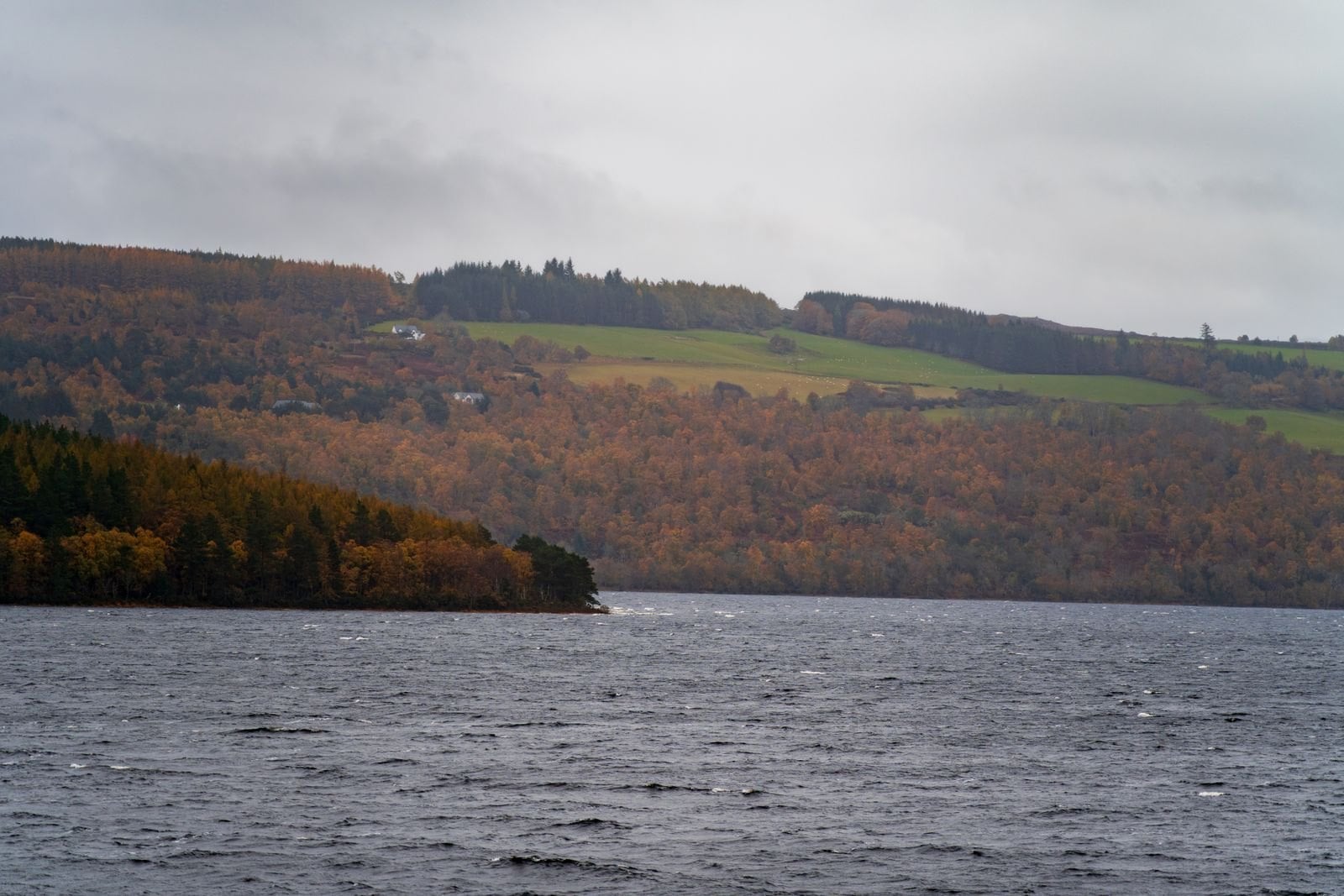
Loch Ness runs 37 kilometres end to end, with a mean depth of 132 metres and a maximum of 227. That is deeper than most of the North Sea. Its surface tells you almost nothing about it, because peat suspended in the water blocks the light within a few metres.
Volume is the number worth carrying. At roughly 7.5 cubic kilometres, Loch Ness holds more water than England and Wales combined, counting every lake in both. It is Britain's largest body of fresh water by volume, though Loch Lomond beats it on surface area.
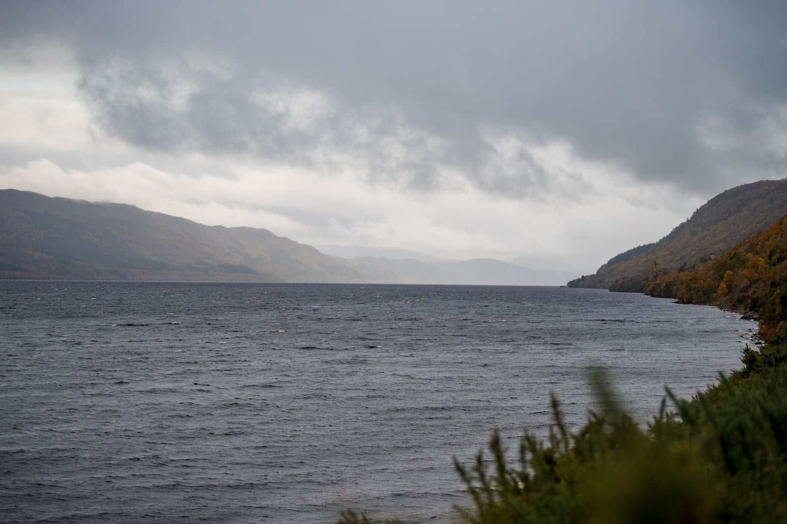
All that water has a practical effect. The loch has never been recorded as freezing over, and it moderates the air along its shores. That is part of why the eastern half of this trail stays walkable later into autumn than higher ground nearby.
Wildlife and Gaelic Names
Red squirrels and pine martens live in the forestry, both far more common here than in most of Britain. Red deer come down to the tree line in the colder months, and are most often seen at first light. Ospreys fish the lochs from about April to August, then leave for West Africa.
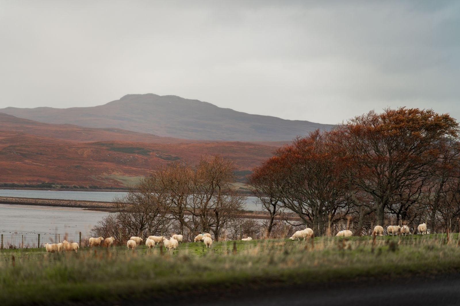
The place names are Gaelic and they describe the ground, once you know a few. Loch means a lake or a sea inlet, inver a river mouth, drum a ridge and ben a mountain. Invermoriston is the mouth of the Moriston, and Drumnadrochit is the ridge by the bridge.
Four words turn the map into a description. Gaelic is no longer the everyday language of the glen, though road signs across the Highlands carry it alongside English. Nobody expects a visitor to speak it.
Where to Stay on the Great Glen Way
Every night is a bed in a hotel, guesthouse or B&B with breakfast. There is no hut system here and none is needed. Rooms are private, heated and en suite at the level we book, and most places do a packed lunch on request.
The stopping points follow the stages: Gairlochy, South Laggan, Fort Augustus, Invermoriston and Drumnadrochit, with Fort William and Inverness at either end. Fort Augustus and Drumnadrochit are the two largest and hold most of the trail's capacity between them. Gairlochy and Invermoriston are the smallest, with only a handful of rooms each.
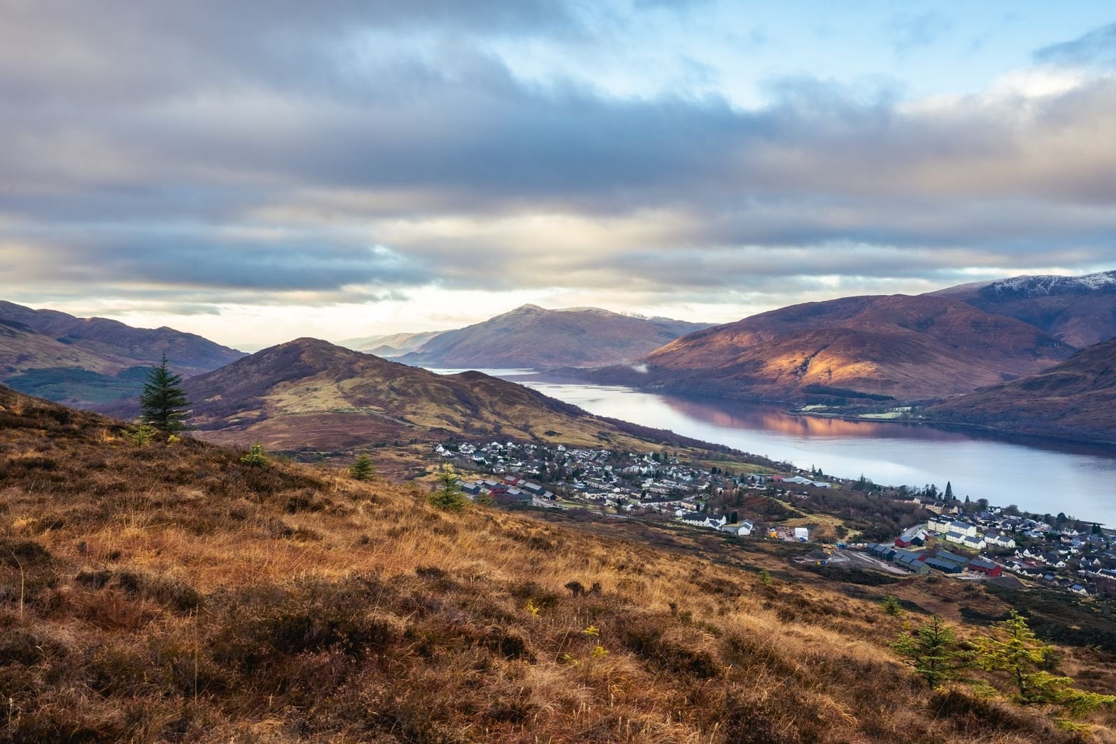
That imbalance is the whole booking problem. Accommodation along the glen runs roughly Easter to October, and a village with four guesthouses fills for the entire summer by early spring. There is no second option within walking distance when it does, so book the small nights first and build the week around them.
Getting There and Back
Fort William sits on the West Highland Line, about four hours by train from Glasgow and one of the great rail journeys in Europe. The station is minutes from the trailhead. A sleeper runs overnight from London, which turns the journey into part of the trip.
Inverness at the far end has an airport with UK and some European connections, and it is the largest town for 100 kilometres in any direction. A mainline station runs south to Perth, Edinburgh and Glasgow in about three and a half hours. Between the two you can reach almost anywhere in Britain the same day. That asymmetry is another argument for walking west to east, because you finish at the better-connected end.
Buses run the length of the glen on the A82 and link every overnight stop, the full Fort William to Inverness run taking about two hours. That matters more than it sounds. Any stage can be shortened, skipped or rescued without unpicking the week.
What the Walk Costs
The walking itself is free. Scotland charges no trail permit, no access fee and no national park entry anywhere on this route. The right of responsible access covers the whole corridor, including the towpath and the forestry tracks.
What you pay for is beds, baggage transfer and getting to Fort William. Accommodation is the dominant cost and the least flexible one. In villages holding a handful of rooms across a 15 to 20 kilometre gap, price competition barely exists in July and August.
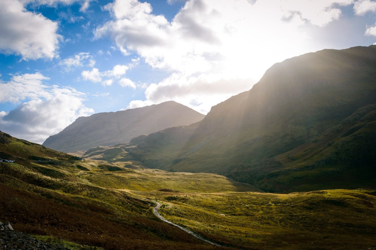
Booking early saves more than shopping around. The rooms that go first are the cheaper ones in the small places, so a late booker pays more and walks further to the bed. Six months ahead is normal for a July walk, and live prices for our own trip sit on the tour page because the site prices by region.
What to Pack for the Great Glen Way
The Great Glen Way is a low-level trail, so the kit list is shorter than for the Scottish hills. Every item below is worth the weight on a six-day walk.
Waterproof jacket and overtrousers, because the glen funnels weather along its length and a dry morning means little by lunch.
Boots or sturdy trail shoes. The surface is firm, so heavy mountain boots are unnecessary, but the high route and forestry tracks punish soft soles.
Midge repellent and a head net from June to August. The canal and forestry sections are exactly the still, damp ground midges prefer.
A 1:50,000 map or the trail strip map, because the high route junction is the one place people go wrong.
Two litres of water capacity. Villages are frequent, but the long stages have gaps of several hours with nothing open.
A power bank, because signal is patchy along the lochs and navigation apps drain a phone fast.
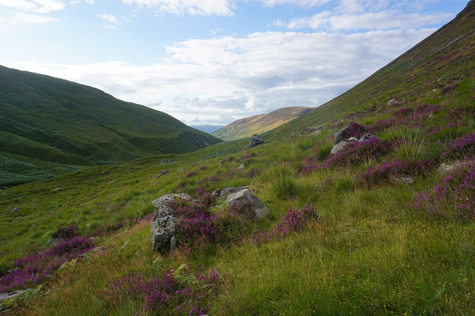
Ticks, Transport and Village Shops
Six things specific to this trail, none of which appear on the scenery pages.
The final stage is the one to plan around. At roughly 30 kilometres it is nearly twice the average, and shuttles from Drumnadrochit are common rather than a failure.
Ticks are present along the whole glen. Forestry and bracken are prime habitat, so check every evening and carry a remover, because correct removal matters more than prevention.
The high route junction is signed but easy to miss out of Invermoriston. Decide before you set off, not at the sign.
Sunday transport thins out. Buses on the A82 and trains on the West Highland Line both run reduced services, which can strand a shortened stage.
Loch Ness has no beaches worth swimming from. The water is cold year round and the shore mostly steep and wooded.
Village shops keep short hours. Buy lunch the night before rather than expecting to find something open at eight in the morning in Gairlochy.
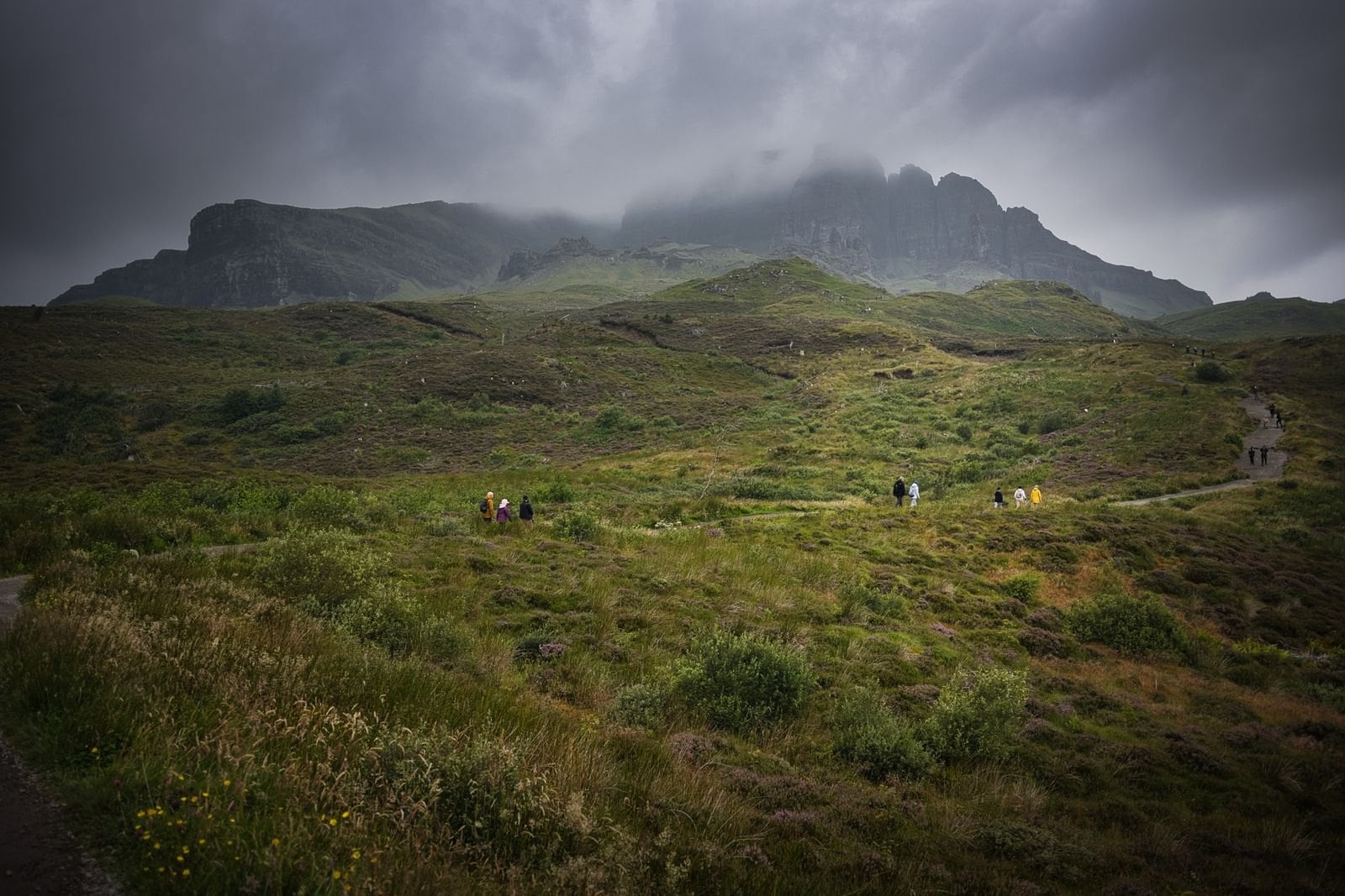
Our Great Glen Way Tour
An eight-day self-guided trip: six walking days, seven nights, Fort William to Inverness. You walk at your own pace and the logistics are arranged before you arrive.
The routing puts the hard day fifth, after four gentle ones, so the 690 metre stage arrives when you are fit rather than fresh. The final stage can be shortened by shuttle if the legs have gone, arranged rather than improvised.
Nights: 7, in 3-star hotels with breakfast
Walking days: 6, from 12 to 30.5 km
Ascent: 80 to 690 m a day
Grade: fitness 3 of 5, technical 2 of 5
Included: luggage moved daily, digital guidebook with GPS routing, route notes and support
Season: April to October
Frequently Asked Questions
Walking the Great Glen Way
Choose the Great Glen Way when you want six days of walking rather than six days of mountaineering. It runs 125 kilometres in a straight line and is well surfaced for most of that. It ends in a city you can fly home from.
Take the 422 metre high route if the sky is clear on day five. Book Gairlochy and Invermoriston before anything else, because those two villages have the fewest rooms. And walk west to east, so the wind is behind you and the trail gets harder as you get fitter.
If you would rather have the beds, the baggage and the route notes arranged, our Great Glen Way trip does exactly that. It runs April to October over eight days. It is worth weighing against the rest of our UK hiking tours before you commit to a week.
If you would rather we shaped the walk around your own dates, get in touch with our team. We will match the stages to the days you actually have. Six days is the standard, and five or seven both work →

About this author
Suzana is our travel advisor and a hiker who believes the best trails aren't just about the summits. She loves spotting alpine plants, watching wildlife, and the laughs, chats, and snack breaks that make every trail worth walking.










.jpg&w=828&q=75)





















































.jpg&w=828&q=75)























