Hiking in Turkey: The Ultimate Guide
The tips, tricks and numbers about walking in Turkey: from the Lycian Way to to the valleys of Cappadocia.

Jon
Published September 28, 2026
Edited September 28, 2026
12 min read
Quick links
Don't want to read all this?
We've planned 2,000+ hiking trips. Send your dates, fitness and group size — we'll map the route and book every night.



Turkey holds twenty-two waymarked long-distance routes, according to the Culture Routes Society that maintains them, and four of those continue across an international border. Almost every visiting walker heads for the same one.
The Lycian Way takes the attention, and it earns most of it. But the country underneath that one trail runs from a Mediterranean coast at sea level to a glaciated 3,937 m peak on the Black Sea side, and it's all worth a second glance.
What Makes Hiking in Turkey Different
Three things separate walking here from walking in the Alps, and each one changes how you book.
The season is inverted. The trail society's own advice for the Lycian Way is February to May or September to November, and it notes that February is often warmer and sunnier than March. July and August are the months to avoid on the coast, which is exactly when the Alpine huts are full.
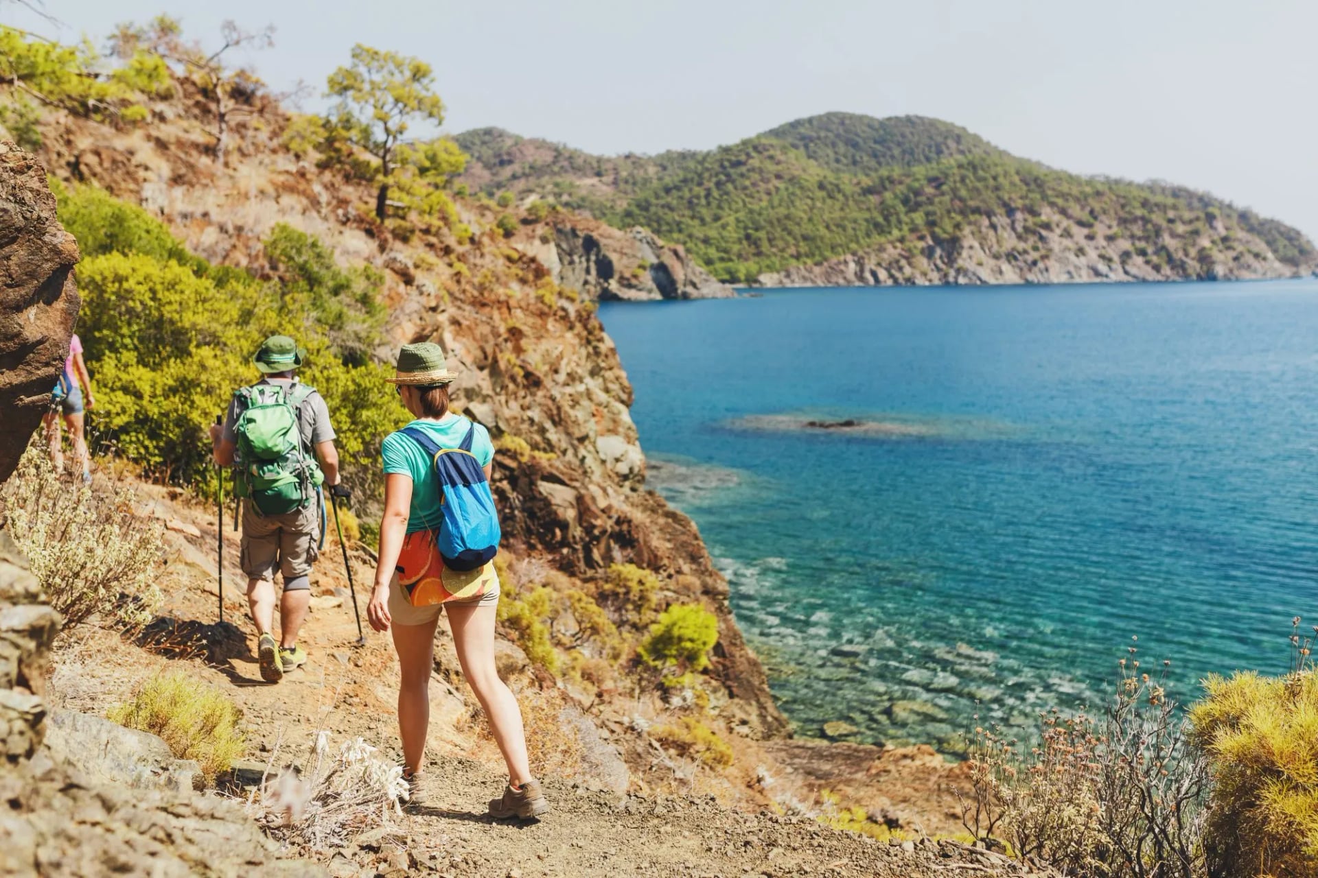
The second one is the surface you walk on. This is limestone and old stone, not glacial rubble: Roman road, mule track and village path, waymarked in the French Grande Randonnée style with a red stripe above a white one. Underfoot it is rockier than photographs suggest, and cumulative descent, not climb, is what tires people out.
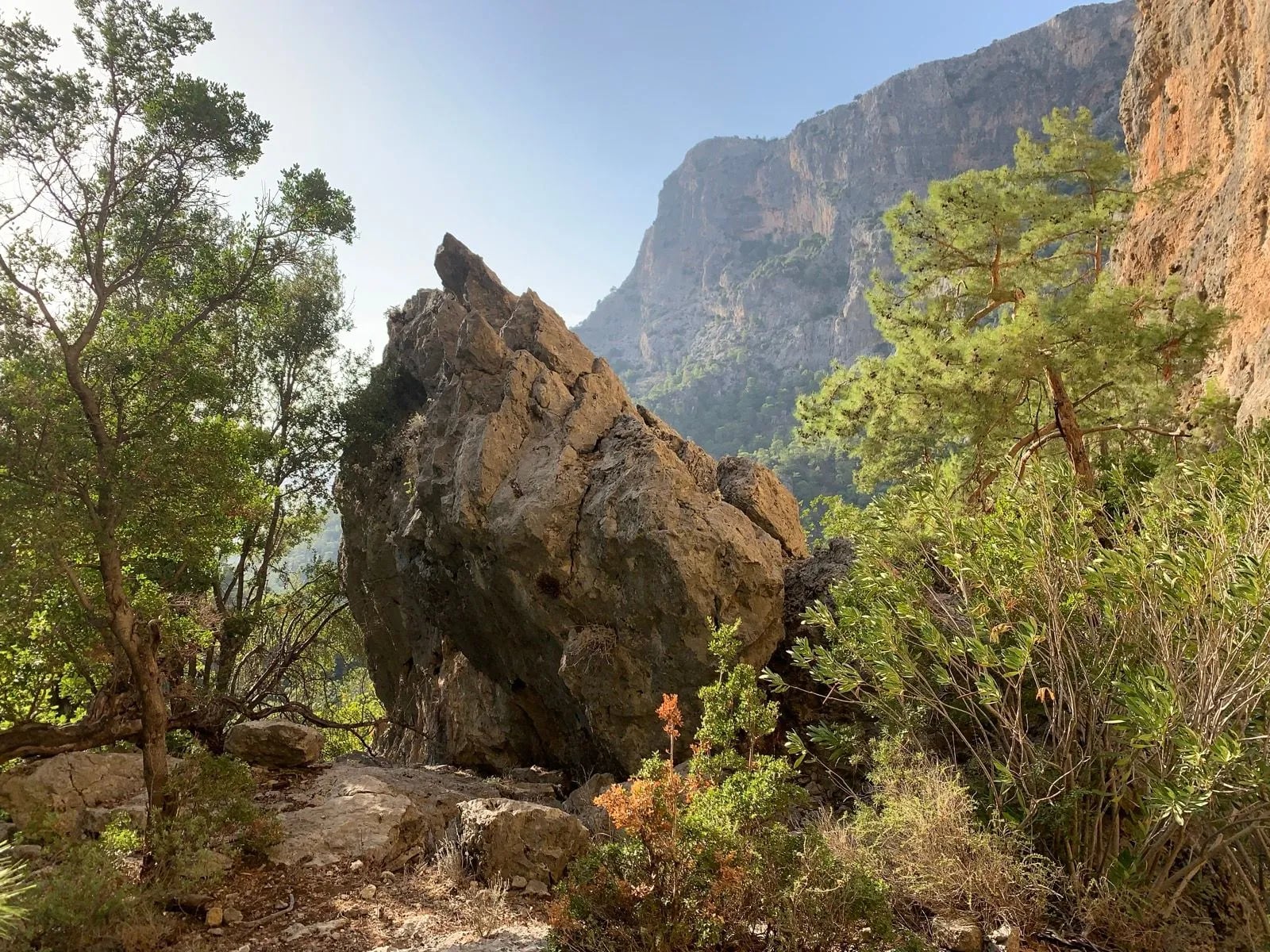
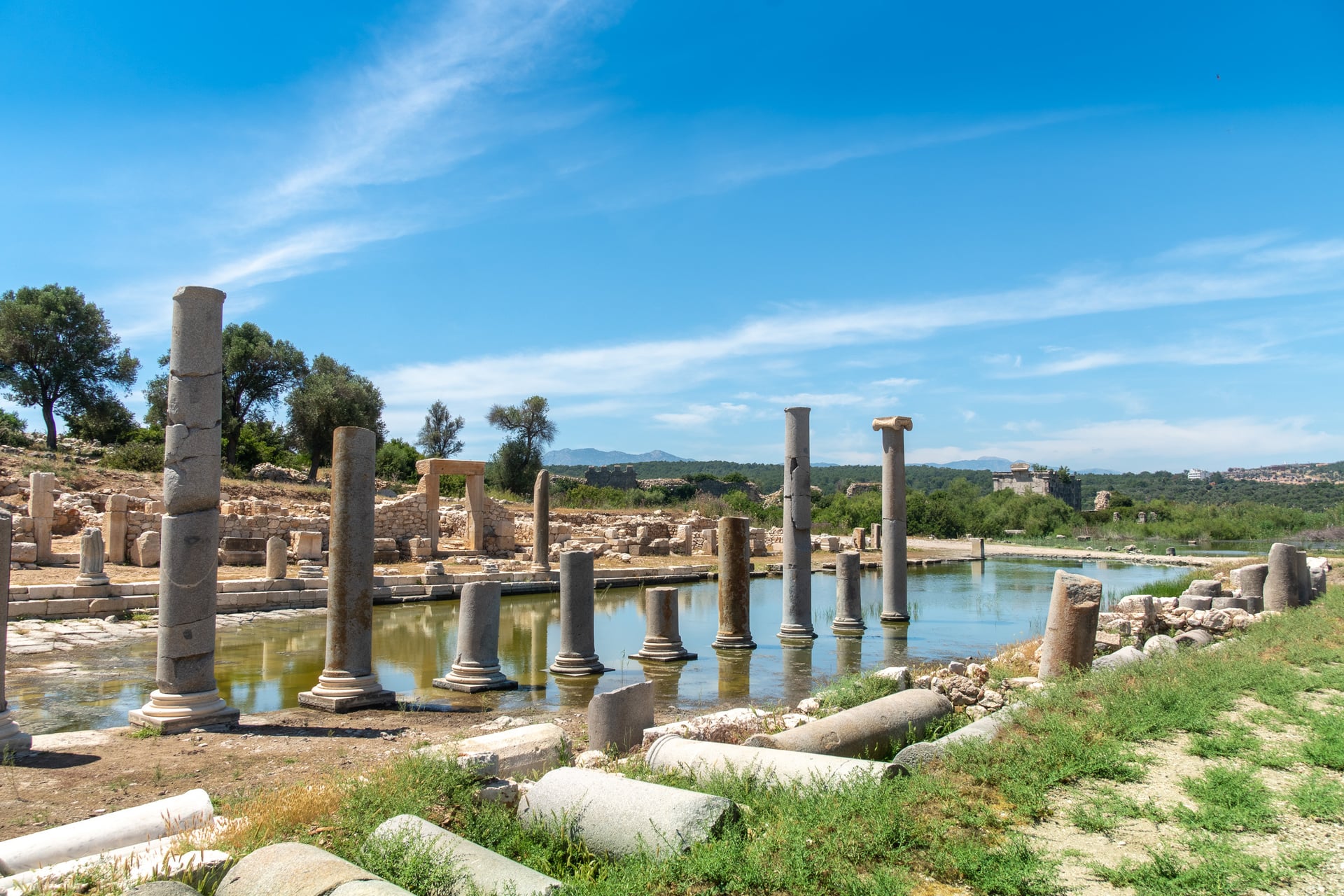
The third is that the ruins are on the route rather than beside it. You do not detour to the archaeology in Lycia, you walk through it, past rock-cut tombs and theatres standing unfenced on the path. Whole abandoned villages sit directly on the waymarks, which is rare on any European long-distance trail.
What follows from all three is a planning order that surprises people. Pick the month first, then the region, then the trail, because a September week on the coast and a September week in the Kaçkar are not the same holiday.
Where to Walk in Turkey
Seven answers to this question carry effectively all of the demand, and they divide cleanly by season and by how much support you need on the ground.
The Lycian Way
Turkey's best-known trail runs from Fethiye, near the south-west corner, east towards Antalya, and it is the reason most people search for hiking in Turkey at all. Kate Clow researched and waymarked it in 1999, and the Culture Routes Society now publishes it as a 760 km, 35-day footpath.
Walk a week of it rather than attempting all of it from the get-go. The trail never gets high, topping out around 1,812 m at the Tahtali saddle below the 2,366 m summit itself, but it climbs and drops to sea level repeatedly, which is why a fitness plan built on distance alone tends to fail.
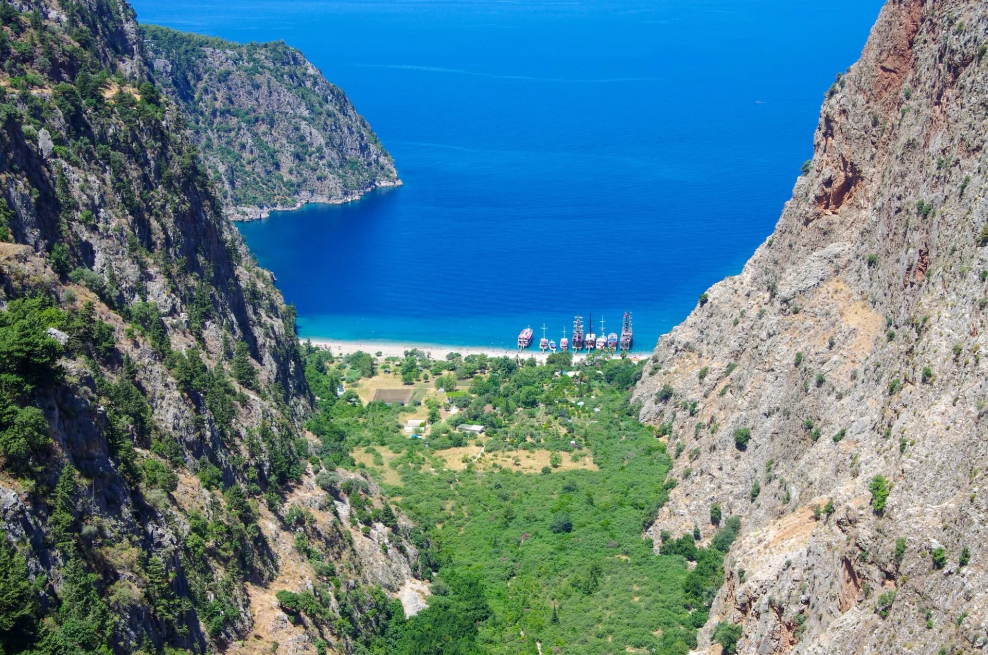
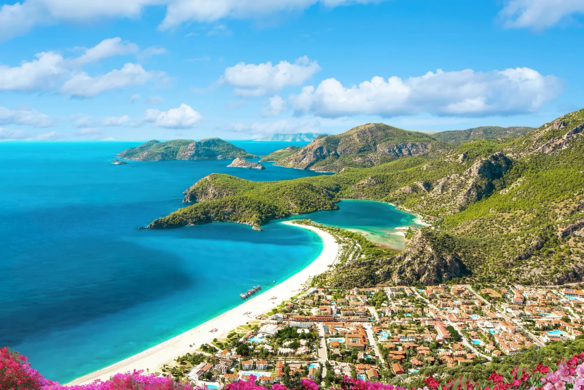
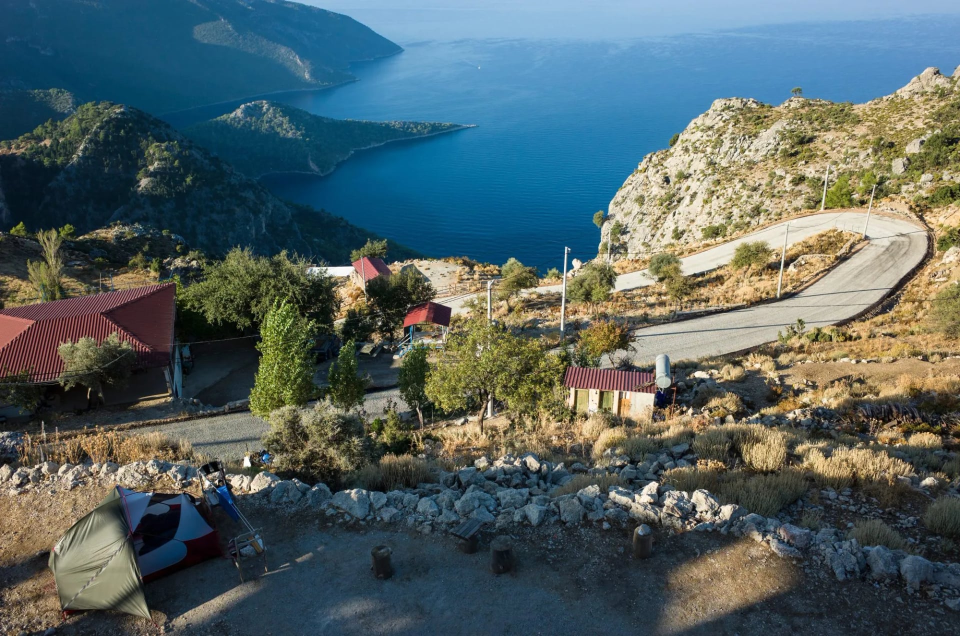
The Lycian way's best sections sit in the west, between Fethiye and Kabak, where the path threads the abandoned village of Kayakoy, then Ölüdeniz and the cliffs above Butterfly Valley. The eastern half has the better ruins and thinner crowds.
Two of our own weeks cover this ground. One walks the western half from Fethiye. The other takes the eastern ruins and capes around Olympos. The western week is the steeper of the two, at 48 meters of climb per kilometer against 39, while the eastern week carries the longer days.
Cappadocia
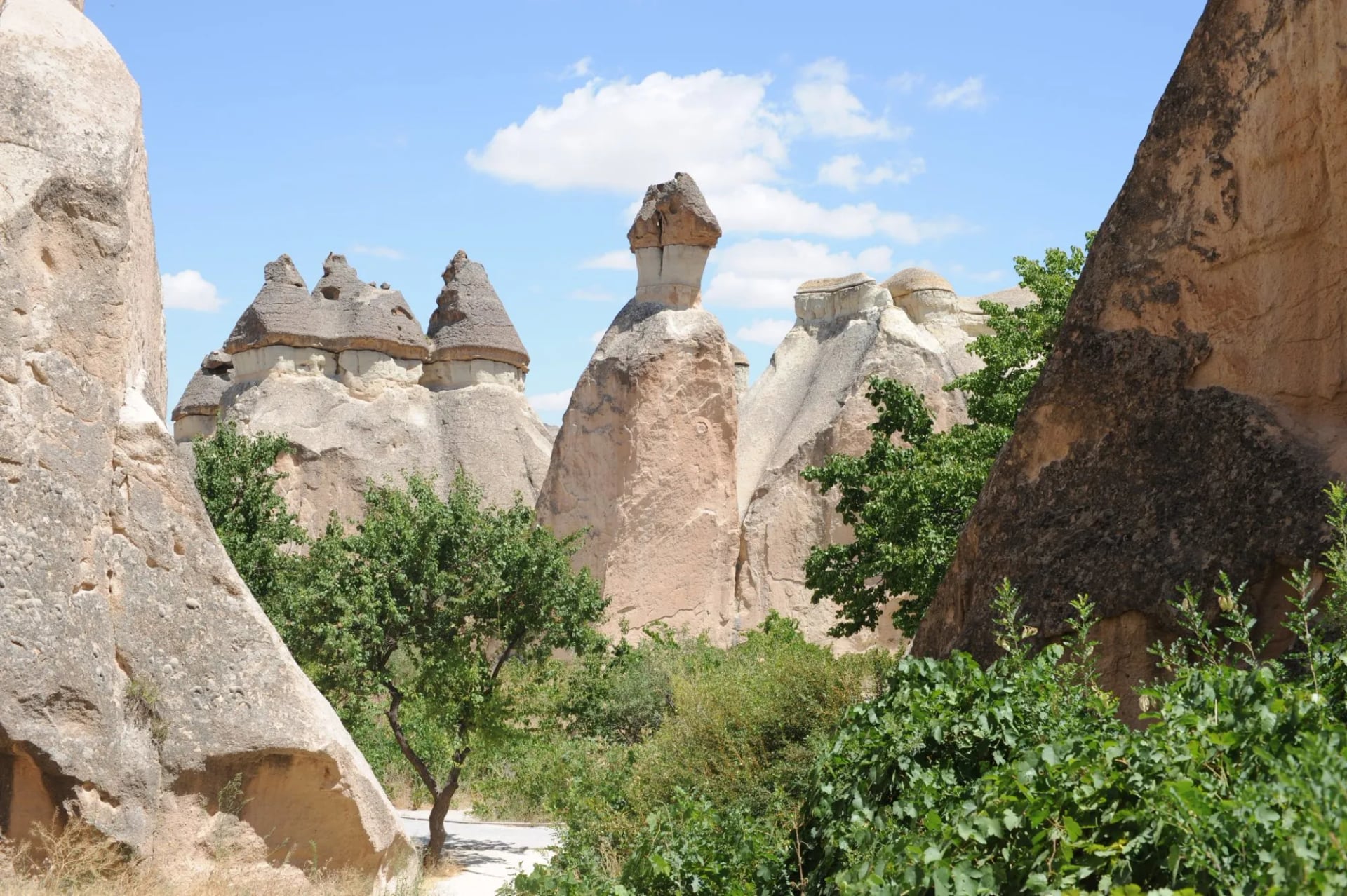
Nowhere else in the country gives you a week of walking you can do entirely on foot from one village. Göreme sits among the valleys, and Zemi, Rose, Love and Paşabağ all begin within an hour of it. That removes the daily transfers most walking weeks are built around.
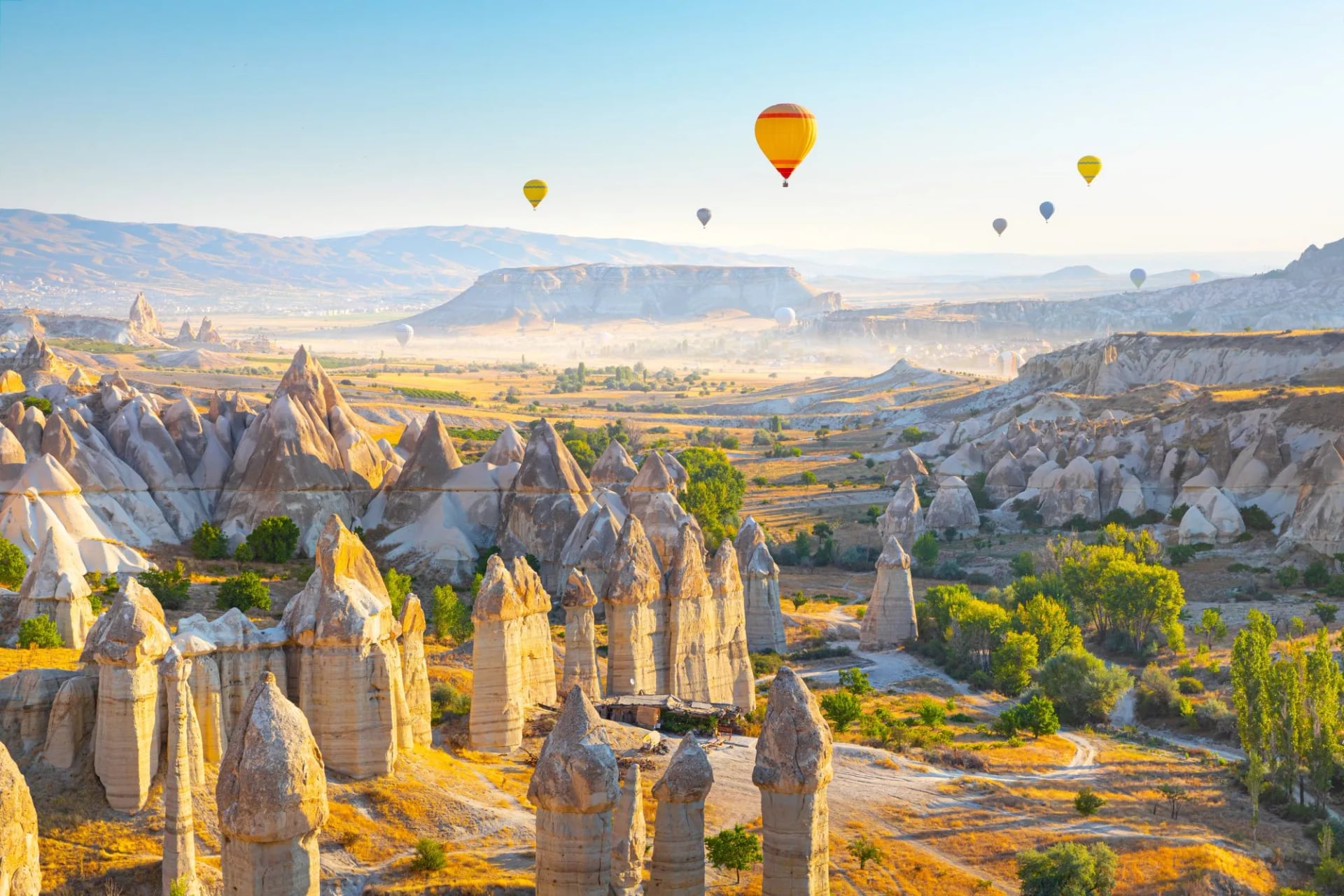
Choose it if you want the gentlest option on this page. No day in Cappadocia needs to climb more than about 450 m, the valleys are short, and the interest is carved rather than scenic: churches, dovecotes and cave dwellings cut into soft tuff.
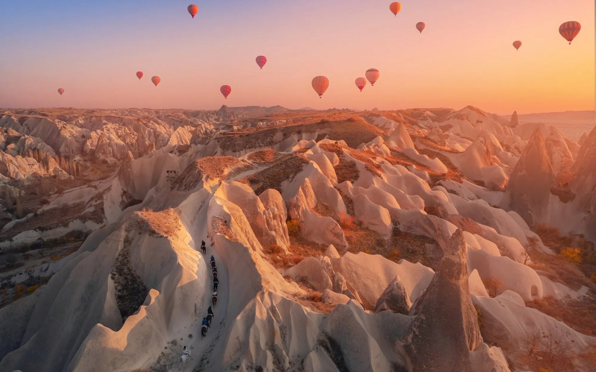
The catch is heat and exposure. The plateau sits near 1,000 m with almost no shade in the valleys, so hiking in Cappadocia works best in the shoulder months. Uçhisar Castle is the highest point for miles, and it is worth timing for late light rather than midday.
The Carian Trail
Longer than the Lycian Way and far quieter, the Carian trail covers about 800 km through Muğla and Aydın, north-west of Fethiye along the Aegean rather than the Mediterranean. It is waymarked to the same standard.
Take it if you have already walked the Lycian Way and want the coast without the company. Resupply is the real constraint here, not terrain: villages sit further apart, and fewer pensions along it are set up for walkers.
The Taurus Mountains and Aladağlar
Limestone walls and high karst make this the country's climbing and mountain-walking range, inland from the coast behind Antalya. Demirkazık reaches 3,756 m, and the Aladağlar section holds most of the serious ground above the cedar and pine forest on its lower slopes.
Go in summer, which inverts the coastal calendar neatly. July and August are the working months up here, and the same weeks that make the Lycian Way unpleasant give the Taurus its settled weather.
The Kaçkar Mountains
Wet, green and completely unlike the rest of the country, this Pontic range rises off the Black Sea coast in the far north-east to 3,937 m at Kaçkar Dağı. Cloud forest, yayla pasture and summer villages replace the dry stone of the south.
Plan for rain in any month. This is the wettest corner of Turkey, and its walking season is short, roughly July to September, with snow lying late on the high traverses.
Mount Ararat
At 5,137 m this is Turkey's highest mountain, close to the Armenian and Iranian borders, and it is a mountaineering objective rather than a walk. It sits inside a military security zone.
Treat the paperwork as the first problem. A permit and a licensed Turkish guide are both mandatory, applied for well ahead through an operator, and no part of that is arrangeable on arrival.
The St Paul Trail
Inland from Antalya, this 500 km route runs 27 days from Perge to Yalvaç near Lake Eğirdir, marked with the same red and white stripes. It climbs much higher than the coast path and sees a fraction of the traffic.
Pick it for pine forest, canyon and lake rather than sea views. It is the least supported of the waymarked trails, so carry more water and expect to camp or use village rooms on some stages.
What a Walking Day Actually Involves
Distances get published constantly. Per-day ascent almost never does, and on this coast it is the number that decides whether a week suits you or ruins it.
Our own three itineraries give the figures directly.
On the west Lycian Way the walking days run 8 km to 19 km and climb between 190 m and 1,000 m. The shortest day is close to the steepest: the 8 km stage from Kabak to Karaağaç gains 800 m, while the 19 km stage before it gains 850 m and then loses 1,100 m.
That descent figure is the one to plan around. Two of those five walking days lose more height than they gain, one of them dropping 860 m on 190 m of climb, so knees decide this trail more than lungs do. Poles are worth more here than extra fitness.
The eastern week is steadier. Days sit between 15 km and 21.5 km with 400 m to 880 m of ascent, and the total is 71.5 km against 2,760 m, so it averages under 40 m of climb per kilometer. The western week runs nearer 48 m per kilometer, which is a full grade of difference.
Cappadocia is a different sport again. Its longest day is 15.5 km, its biggest climb about 450 m, and the whole week totals 44 km with 1,290 m of ascent. Anyone comfortable on a long day walk can manage that week, which is not true of either Lycian route. Our difficulty guide sets out how all three are graded.
When to Go
The coast and the mountains want opposite halves of the year, and getting this wrong is the single most common planning mistake here.
For the Lycian Way and the Carian Trail, the trail society recommends February to May or September to November. February is often warmer and sunnier than March, which is counter-intuitive enough that most itineraries never offer it. Spring brings wildflowers and running water; autumn brings warm sea and reliable dry ground.
Avoid June to August on the coast. Shade is scarce on limestone, the trail crosses long open stretches, and the sea is warmer in October than in June if swimming is part of the appeal. Cappadocia follows roughly the same pattern with a slightly wider window either side.
The high ranges invert it completely. The Kaçkar walking season is roughly July to September, the Aladağlar much the same, and Ararat is climbed in summer. A single trip cannot combine the coast and the high peaks well, which is worth knowing before you try to build one.
Know Before You Arrive
Most European and North American passport holders need no visa for stays up to 90 days in any 180-day period, but two conditions catch people out: the passport must have at least 150 days of validity remaining after arrival, and one blank page.
Walk-up visa desks at airports have closed permanently, so check your own government's advisory before you fly rather than at the counter.
Entry
No permit or ticket governs the waymarked trails themselves. The excavated sites are the exception: Olympos, Patara and Phaselis all charge admission and close their gates, so plan arrivals at ruins for the morning rather than the end of a long stage.
Safety and emergencies
Emergencies run through one number. Dialling 112 reaches ambulance, fire, police, coast guard and disaster response, and foreign-language support is strongest in Antalya, Muğla and Cappadocia, which covers most of the walking ground on this page. Signal is patchy on the high traverses between villages.
Money
Carry cash for the trail. Card payment is normal in Fethiye, Antalya and Göreme, but village pensions and trailside tea houses often take notes only, and ATMs disappear for days at a time on the eastern Lycian Way. Draw money in the towns, not the villages, and keep small notes for tea stops.
Water supply
Water is the other planning constraint. Village fountains and pensions are the reliable sources on the coast trail, cisterns are unreliable, and long limestone stretches carry none at all, so two liters is a minimum on a coastal stage and more in spring heat. Waymarking is good but not continuous, and a downloaded GPS track matters more than a paper map.
Wild camping
Wild camping is tolerated in places rather than provided for. Never camp inside an archaeological site, where entry is ticketed and gates close, and expect shepherd dogs around yayla and village edges.
Our Turkey Walking Trips
Our three Turkey hiking tours are self-guided weeks covering the ground above, with luggage moved between hotels and pensions. How that works is set out in self-guided tours explained.
One thing to say plainly: the Carian Trail, the Kaçkar traverse and Ararat all lie beyond our Turkey range, and for some people they are the better answer than anything below.
West Lycian Way Highlights
Distance: 74.0 km across 7 days
Ascent: 190 m to 1,000 m a day
Sleeping: hotels and pensions, luggage moved
Terrain: coastal limestone, repeated descents to sea level
Our steepest Turkey week, and the one that covers the trail's most photographed ground: Fethiye, Ölüdeniz, Kabak and the high traverse past Alinca. Five walking days build from 8 km to 19 km, and the first day climbs 1,000 m, the most of any trip here.
Choose it if you have walked multi-day trails before and your knees are sound. The descents are the work, not the ascents, and the 8 km day is nobody's rest day at 800 m of climb.
Best of The East Lycian Way
Distance: 71.5 km across 6 days
Ascent: 400 m to 880 m a day
Sleeping: hotels and pensions, luggage moved
Highlights: Olympos, the Chimaera flames, Cape Gelidonya
Steadier days on the quieter half of the trail, with the ruins at Olympos and Phaselis and the lighthouse cape at Gelidonya. Four walking days sit between 15 km and 21.5 km, and no day climbs beyond 880 m, so the days sit closer together than on the western week.
Take it if the archaeology is the draw. This is the better week if you want ruins on the path, and the eternal flames of the Chimaera burn on a hillside a short walk from the trail.
Cappadocia Trails
Distance: 44.0 km across 6 days
Ascent: 200 m to 450 m a day
Sleeping: cave hotels, no luggage transfers needed
Terrain: soft tuff valleys, short days, one base
The gentlest week of the three by a wide margin, walking Zemi, Rose, Love and Paşabağ valleys plus Çavuşin from a single base. Four short walking days total 44 km, and the ascent never passes about 450 m.
Pick it for a first walking holiday, or for mixed-ability groups. Nobody has to be a hiker to enjoy this week, and the balloons, cave churches and Uçhisar Castle fill the afternoons the walking leaves free.

About this author
Jon is our travel advisor and an outdoor adventurer who is happiest on the move. While mountain biking is his personal passion, he thrives on crafting hiking adventures for others — planning routes and adding the little touches that turn a trip into a core memory.





.jpg&w=828&q=75)




















































.jpg&w=828&q=75)
























