Kungsleden Trail: 107 km and Five Huts in Seven Days
Sweden's best known trek, walked the way it really goes: 107 kilometres of Kungsleden, five huts a day apart, one pass and Kebnekaise to finish.

Jon
Published August 31, 2026
Edited September 24, 2026
20 min read
Quick links
Don't want to read all this?
We've planned 2,000+ hiking trips. Send your dates, fitness and group size — we'll map the route and book every night.



The first decision on the Kungsleden is not what to pack, it is how much of it to walk.
The trail runs 440 kilometres from Abisko to Hemavan and end to end takes about a month. What almost everyone means by it is the northern week, 107 kilometres from Abisko to Nikkaluokta, sleeping in five mountain cabins with no electricity and no running water.
This guide starts with the route options and the numbers, then walks the week stage by stage, hut by hut and pass by pass. For Sweden's other trails, start with our guide to hiking in Sweden. Our Sweden walking holidays page lists the trips this one sits alongside.
Kungsleden at a Glance
Length: just over 450 km end to end, or about 107 km for the northern week
Days: seven walking days for the northern week, roughly a month for all of it
Ascent: 1,970 m across the northern week, the biggest day 520 m
High point: the Tjäktja pass, at about 1,150 m
Season: mid-June to mid-September, while the huts are open
Sleeping: 16 mountain huts spaced 10 to 20 km apart, or a tent almost anywhere
Terrain: valley walking on bog, boardwalk and boulder, with no scrambling
Ends: Abisko Turiststation to Nikkaluokta, both reachable without a car
Which Kungsleden to Walk
The single most useful decision is which piece you take on, because the four sections are not alike and only one of them is the trail people picture.
The Northern Week
Distance: 107 km
Days: 7 walking days
Start and finish: Abisko to Nikkaluokta
Pick it when: you have a week and want the version everyone means
Five huts, one pass and Sweden's highest mountain at the end. This is the classic, and everything below on this page assumes it unless it says otherwise. It is also the only section with a hut every night, which is what keeps the pack light enough to enjoy.
Abisko to Alesjaure and Back
Distance: 37 km in, with a boat and a bus to shorten the return
Days: 3 days
Start and finish: Abisko, out and back
Pick it when: you have a long weekend rather than a week
The birch forest, the Kieronbacken climb and the first open ground above the treeline. It is the best short taste of the fjäll, and it gets you the two days that change the scenery without committing to the pass. What you give up is Kebnekaise and everything south of Alesjaure.
Nikkaluokta to Kebnekaise and Back
Distance: 18.5 km each way
Days: 2 days
Start and finish: Nikkaluokta, out and back
Pick it when: the high ground is closed or the forecast has turned
Straight in under Sweden's highest mountain without crossing the pass at all. It is the version that still works when the weather has taken the week away from you, and the one night is spent at the only serviced building on the route rather than in a self-service hut.
The Full Trail to Hemavan
Distance: just over 450 km
Days: about a month
Start and finish: Abisko to Hemavan
Pick it when: you want the whole thing and can carry several days of food
South of Kvikkjokk the character changes completely. There are no huts for roughly 130 kilometres between Kvikkjokk and Ammarnäs, so it stops being a hut walk and becomes a self-sufficient trek. Almost nobody walks it end to end in one go, and most people who say they have hiked the Kungsleden mean the northern week.
There is a winter version as well. The same line becomes a ski route marked with tall crossed poles, needing winter equipment and experience rather than walking fitness. The huts close in late September.
What does not work is compressing the middle of the northern week. The huts sit where they sit, so a five-day version means two long days back to back with the pass in the middle of them.
What the Walking Is Like
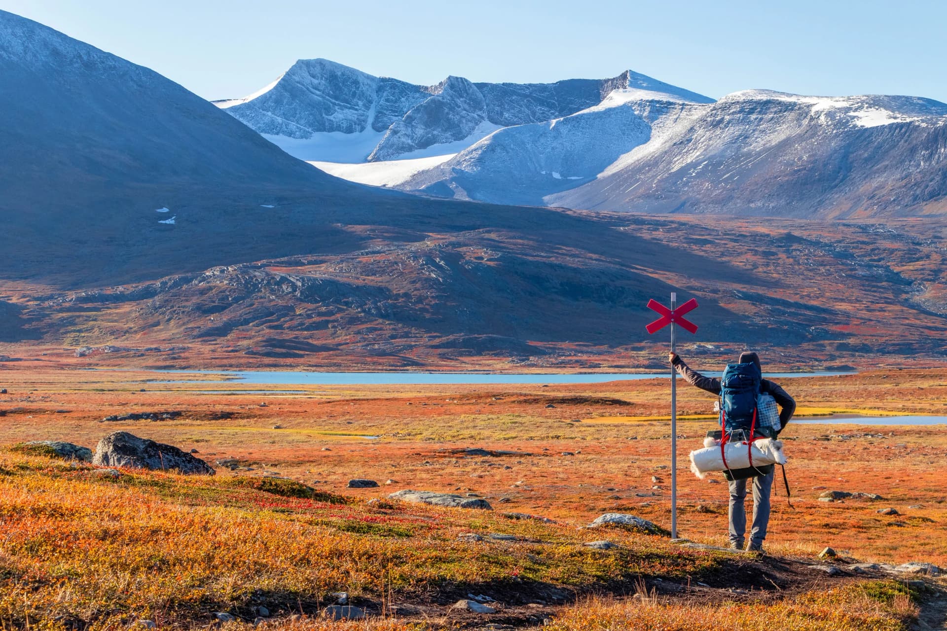
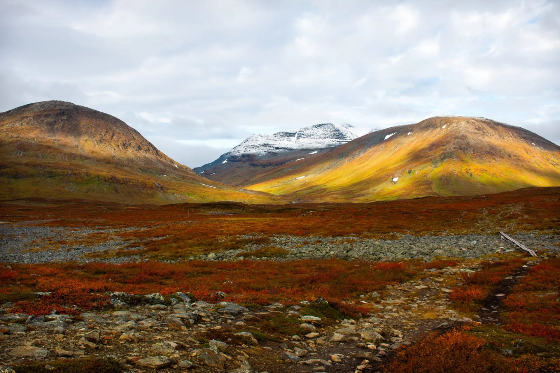
Nothing here is alpine. There are no cables, no ladders and almost no scrambling. What the trail asks for is endurance, weather sense and a tolerance for being a long way from a road.
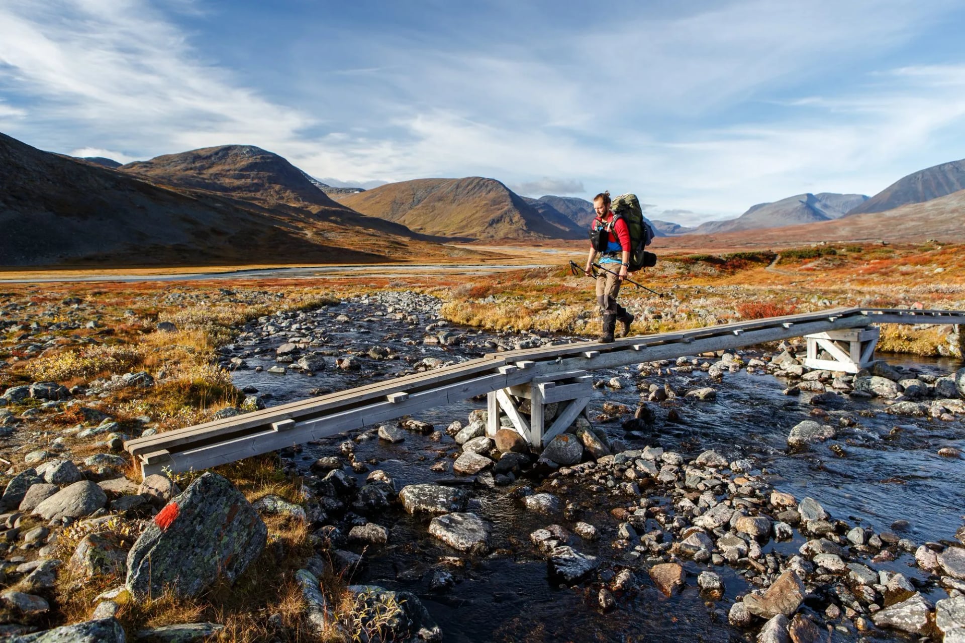
The ground is what makes it tiring. You cross bog on boardwalk, boulder fields that halve your pace and streams stepped over on stones, so kilometres per hour is the wrong unit up here. Plan in hours and add one for weather.
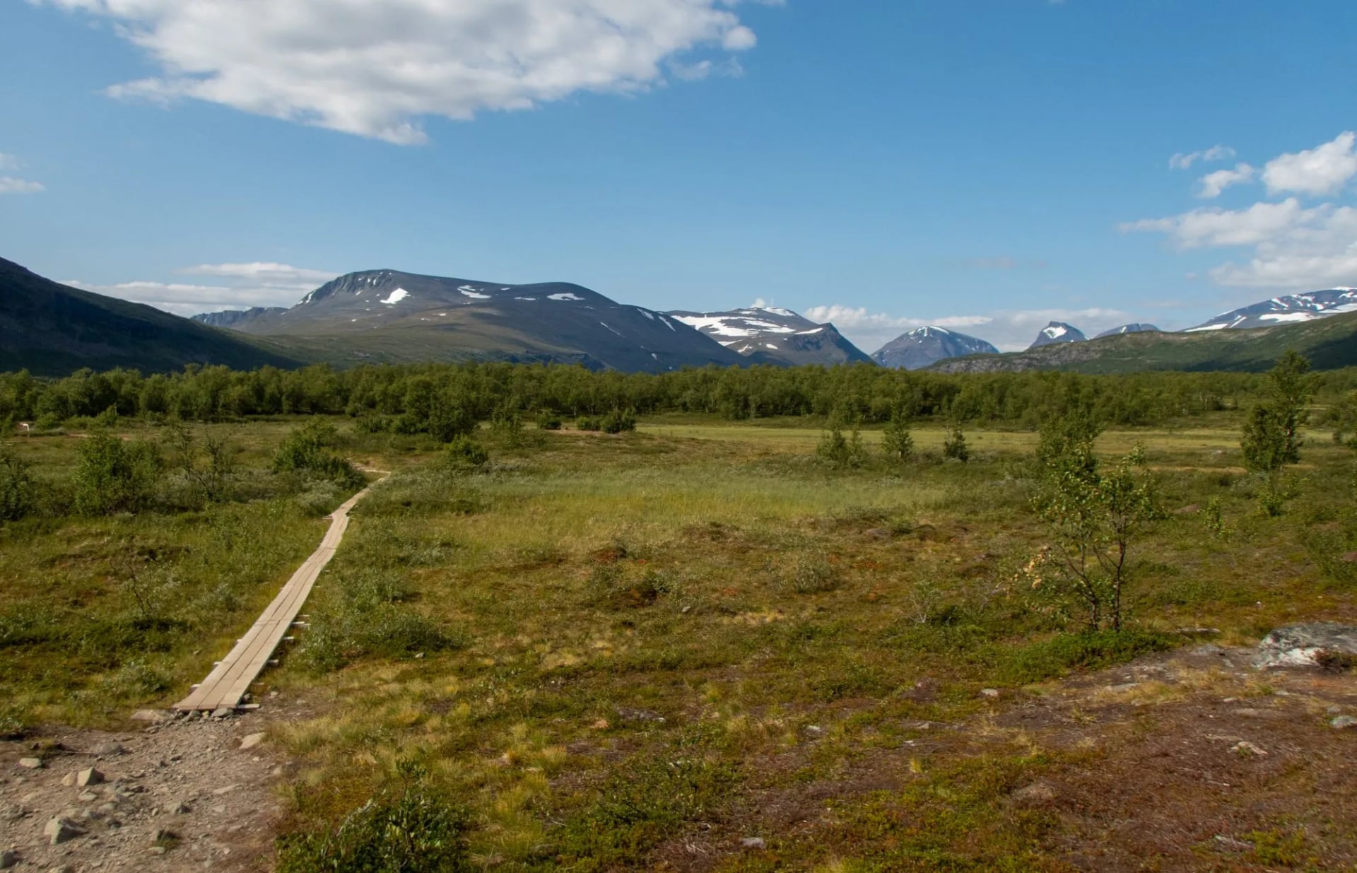
Three particularities catch people out. The treeline is gone within a day of Abisko, so there is no shelter and no early exit for most of the week. The streams are drunk untreated as a matter of routine, which changes what you carry. And the huts hold booked beds only until six in the evening, so arriving early matters more than walking fast.
It suits a first long-distance trek better than almost anywhere in Europe: waymarked with cairns, huts a day apart, no navigation problem and no exposure. It suits solo walkers, it suits anyone who would rather earn a sauna than a summit, and it suits walkers who want wilderness without needing to be self-sufficient in it.
It suits you badly if you want scrambling or ridges, if a shower every night matters, or if your dates are fixed and narrow, because this is a ten-week season and the pass sets its own terms.
What the Kungsleden Is
The King's Trail was laid out by the Swedish Tourist Association from the 1880s, and it strings together huts rather than summits. That is why it keeps to the valleys, crosses exactly one pass, and needs no technical skill at all.
The Kungsleden trail length is usually quoted as 440 kilometres, though some sources say 467, because it depends where you start counting. It divides into four sections and they are not equal.
The northern one has the mountains, the huts and the traffic. Between Kvikkjokk and Ammarnäs, far to the south, there are no huts for roughly 130 kilometres, which is why that stretch draws a different kind of trekker.
Kungsleden Stage by Stage
On a Kungsleden trail map the northern week reads as a single diagonal line inside the Arctic Circle, running south east from Abisko to Nikkaluokta. Abisko sits on Torneträsk about 95 kilometres north west of Kiruna, close enough to Norway that the same railway carries on to Narvik.
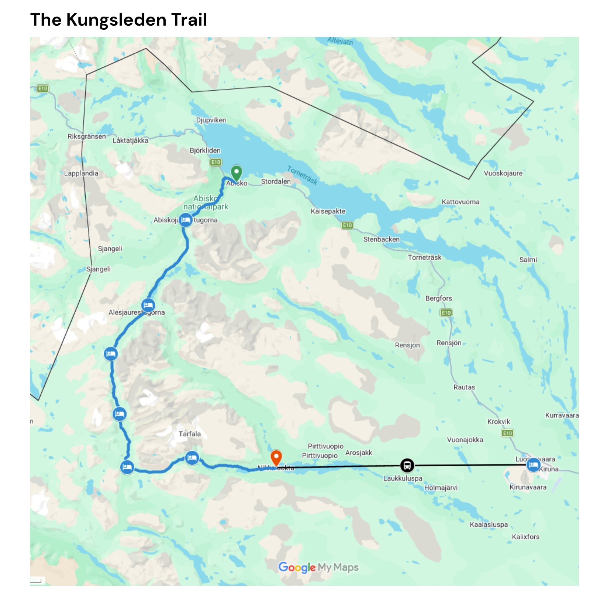
The figures below come from our own itinerary. The Swedish Tourist Association's stage lengths differ by a kilometre here and there, which says more about where the measuring starts than about the walking.
Day 1: Abisko to Abiskojaure, 16 km, 220 m up, 110 m down
Day 2: Abiskojaure to Alesjaure, 21 km, 520 m up, 220 m down
Day 3: Alesjaure to Tjäktja, 13 km, 380 m up, 160 m down
Day 4: Tjäktja to Sälka, 12.5 km, 200 m up, 370 m down
Day 5: Sälka to Singi, 12 km, 150 m up, 260 m down
Day 6: Singi to Kebnekaise, 14.5 km, 300 m up, 330 m down
Day 7: Kebnekaise to Nikkaluokta, 18.5 km, 200 m up, 400 m down
Seven walking days, 107.5 kilometres and 1,970 metres of ascent. Most people manage 2.5 to 3 kilometres an hour on this ground, so the 21-kilometre day is seven hours of walking before you count stops, and the short days are half that.
Day 1: Abisko to Abiskojaure
Distance: 16 km
Ascent: 220 m
Descent: 110 m
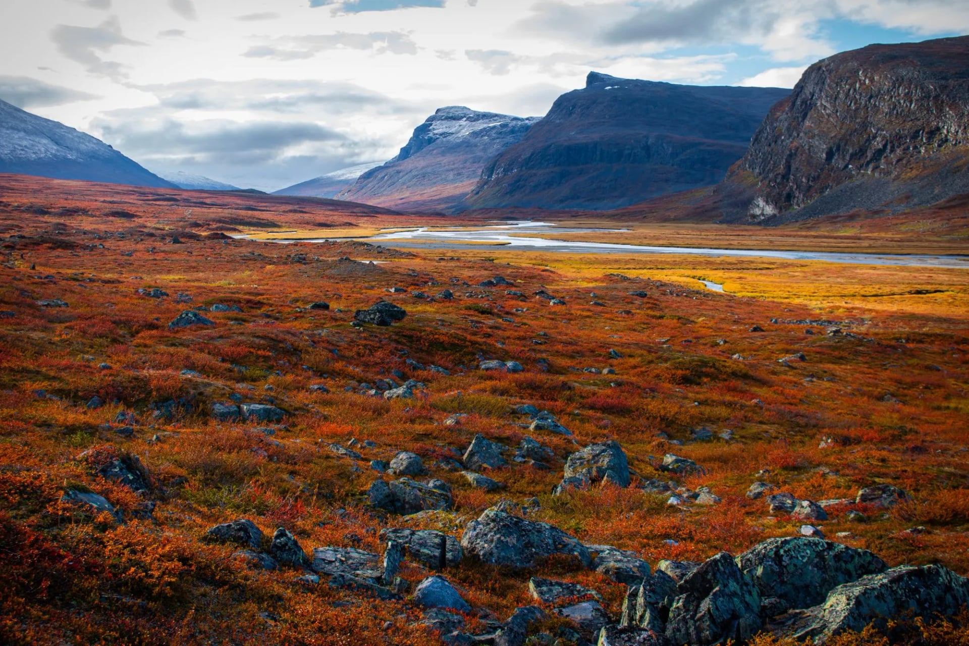
The northern gate stands beside Abisko station, so the walking starts within minutes of stepping off the train. The path follows the Abiskojåkka through birch, past the old marble quarry at Marmorbrottet with its limestone face, and crosses the Kamajåkka on a hanging bridge before reaching the lake. It is an easy opener on good ground, and Abiskojaure has a shop, so anything forgotten in Abisko can still be bought at the end of it.
Day 2: Abiskojaure to Alesjaure
Distance: 21 km
Ascent: 520 m
Descent: 220 m
The longest day of the week and the one that changes the scenery. The trail leaves the birch, hauls up the Kieronbacken through boulder fields onto open moorland, then crosses heath past a chain of lakes with mountains opening out on both sides. At 2.5 to 3 kilometres an hour that is seven hours of walking before you count stops. A summer boat crosses the lake system at the Alesjaure end and saves about four kilometres, but it is weather dependent and it stops when the season does, so plan the day as though it is not running. Alesjaure has a shop, and it is where the food for the pass gets bought.
Day 3: Alesjaure to Tjäktja
Distance: 13 km
Ascent: 380 m
Descent: 160 m
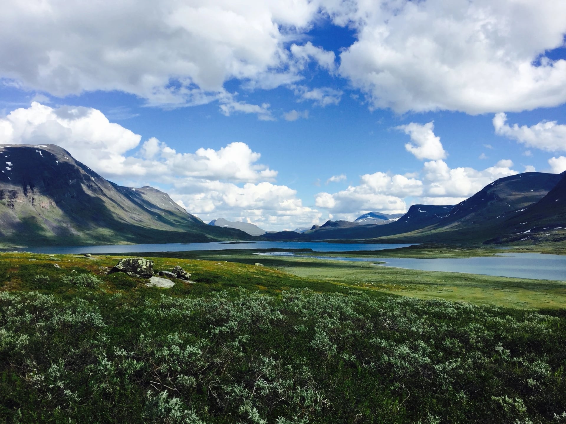
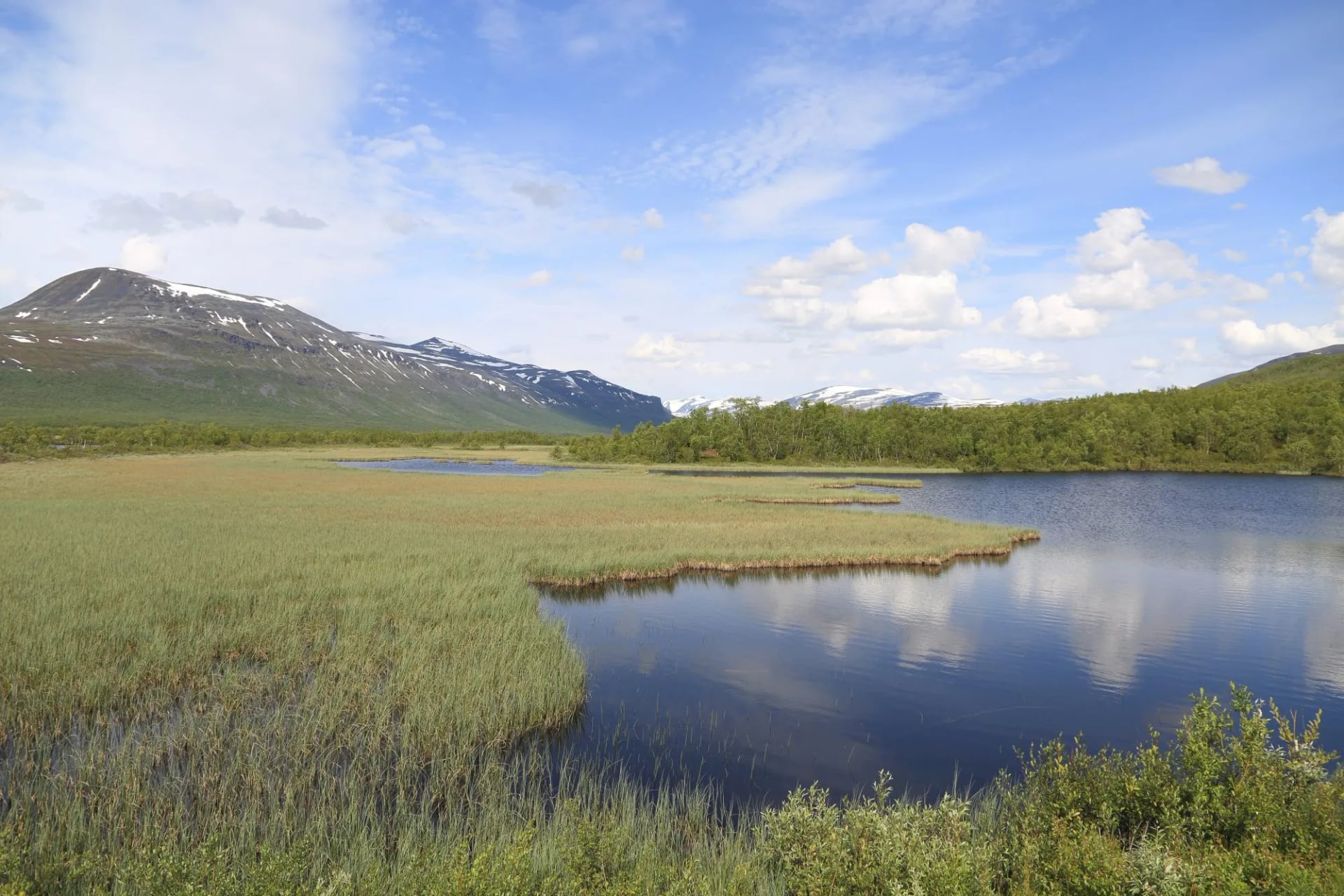
The shortest day, and the one that feels like a rest. The trail crosses the Alesätno on a long bridge and follows a green delta ringed by peaks, climbing steadily but gently towards the head of the valley. The rest is useful, because Tjäktja has no shop and the next day is the pass.
Day 4: Tjäktja to Sälka
Distance: 12.5 km
Ascent: 200 m
Descent: 370 m
Day four is the pass, and the only day of the week that needs watching. At about 1,150 metres the Tjäktja pass is the highest point on the entire Kungsleden, a broad stony saddle with an emergency shelter on top and nothing to hide behind. The climb itself is gentle by alpine standards, only 200 metres of ascent. What makes it the day to watch is that it holds snowfields into July, the wind has a clear run at you, and the descent on the far side is steep and stony before the valley softens.
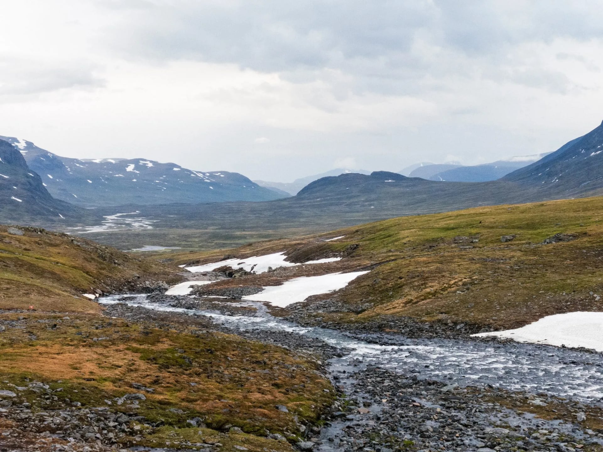
Treat it as the flexible day. If the forecast at Tjäktja is bad, sitting out a day in the hut is the normal decision rather than a failure, and the warden will tell you what is coming. That is the practical reason to carry a spare day of food.
Day 5: Sälka to Singi
Distance: 12 km
Ascent: 150 m
Descent: 260 m
The most spectacular easy day of the week. The trail traces the Tjäktjavagge under the Drakryggen ridge with the north summit of Kebnekaise ahead, and passes the Sámi summer settlement at Kårtjevuolle with its tents and reindeer pens. Sälka has the last shop on the route, so this is where the walk out gets provisioned, because Singi has nothing.
Day 6: Singi to Kebnekaise
Distance: 14.5 km
Ascent: 300 m
Descent: 330 m
Day six leaves the Kungsleden proper, branching east and squeezing through the Laddjuvagge between Singitjåkka and Skárttoaivi, with the last kilometres running across a partly rocky slope.
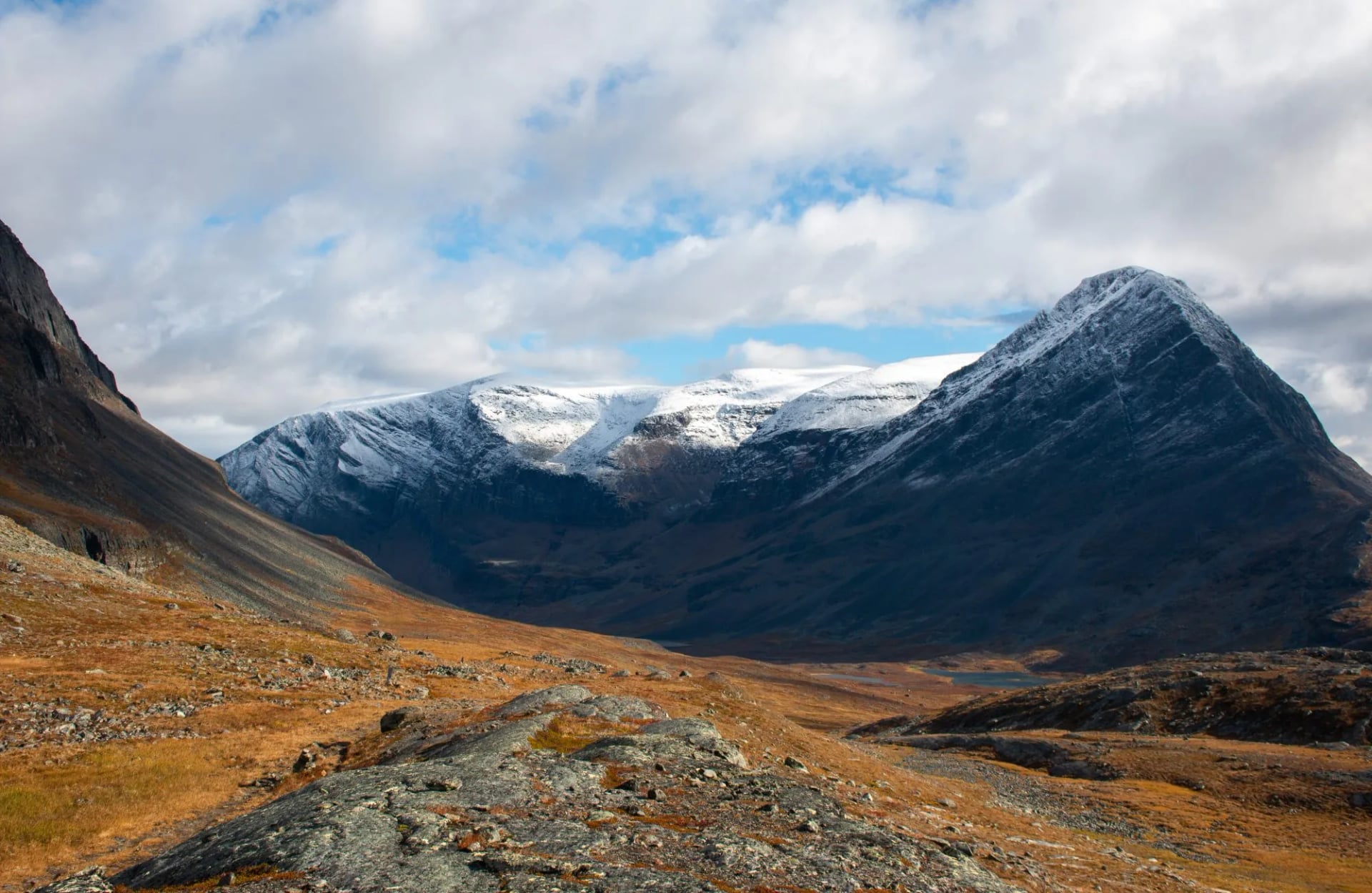
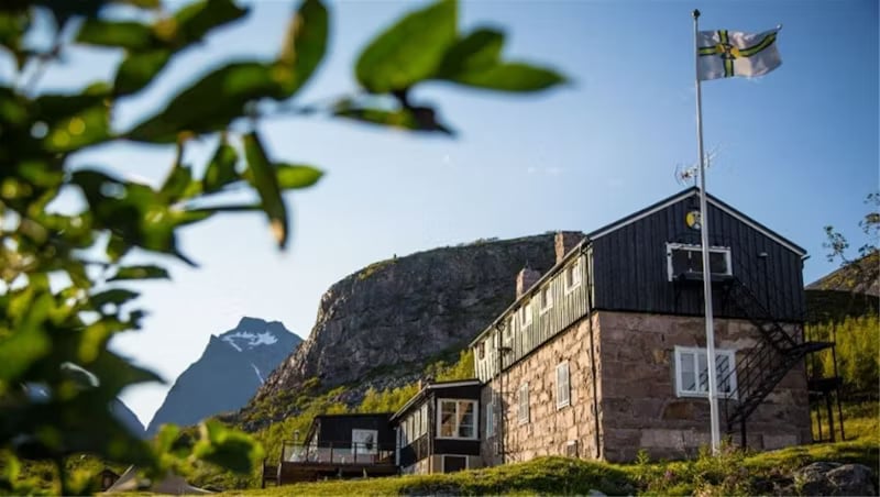
What waits at the end is not a self-service hut at all. Kebnekaise Fjällstation has a restaurant, showers and proper rooms, and after five nights of fetching your own water it feels like a different country. It is run by the Swedish Tourist Association, and it is the one place on the week where somebody else cooks your dinner.
The mountain above it is Sweden's highest. The ice-free north peak stands at 2,096.8 metres and has held the title only since 2019, when the melting glacier on the south peak dropped it into second place, and the south peak loses height most summers. The summit itself is a full extra day from the station and it is not part of the Kungsleden: the usual western route crosses a glacier and is normally done with a guide, the eastern route is a scramble, and neither belongs in a week where you are already carrying a pack.
Day 7: Kebnekaise to Nikkaluokta
Distance: 18.5 km
Ascent: 200 m
Descent: 400 m
The walk out, and longer than it looks. The trail crosses the Tarfalajåkka, fed by the glaciers of Tarfaladalen, runs on wooden walkways as the birch thickens, and finishes at Nikkaluokta. The second summer boat runs across Ladtjojaure and saves about six kilometres, landing at a jetty where a Sámi tent sells coffee and a kiosk sells reindeer burgers. Like the first it is weather dependent, so treat it as a bonus rather than a plan: a cancelled boat turns the last day into a long afternoon.
Food, Water and Resupply
Three huts on the week sell provisions: Abiskojaure, Alesjaure and Sälka. They are small shops with freeze-dried meals, gas, chocolate and basics, not supermarkets, and stock thins late in the season.
That gives the week a simple shape. Buy properly in Abisko, top up at Alesjaure for the pass, and know that after Sälka there is nothing until the Kebnekaise station.
Gas cannot fly, so buy your canister in Abisko on the way in. The huts have kitchens and pans, so you carry food, not cookware, which is the single biggest weight saving on this trail.
Water stops being a problem here. Above the treeline the streams are drunk untreated as routine and the wardens point you at the right source, so you walk with half a litre rather than three.
The Five Mountain Huts
These are the five you sleep in, north to south, with the thing about each that actually changes your day.
Abiskojaure
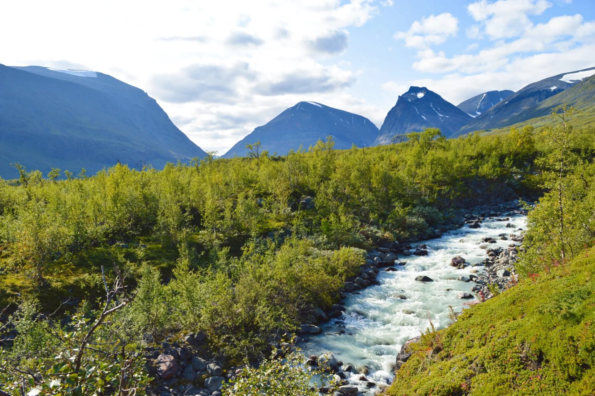
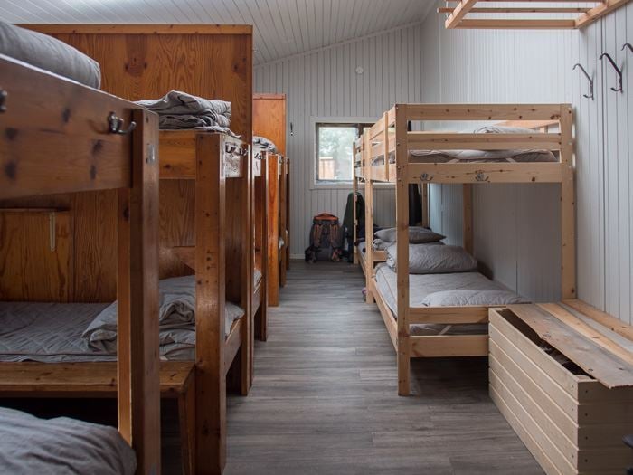
Sixteen kilometres in, still inside the birch, on the shore of its lake. It has a shop and a sauna, and a sandy beach where people swim after the first day.
It is the easiest night of the week and the last one below the treeline.
Everything after this is open ground, which is worth knowing when you decide how much shelter your kit needs.
The day into it is gentle, four to six hours through birch with the river alongside, and the beach means arriving early is its own reward.
Alesjaure
The biggest hut on the week and the busiest, 21 kilometres further on and set above a chain of lakes. It has a shop, a sauna and the boat jetty, which is why so many walkers make it their pivot point.
Arrive early in August. This is the hut most likely to be full, and the one where the six o'clock rule bites hardest.
It is also the last easy resupply before the pass. Most walkers reach it tired, because the day in from Abiskojaure is the longest of the week at 21 kilometres, with the Kieronbacken climb early on.
Tjäktja
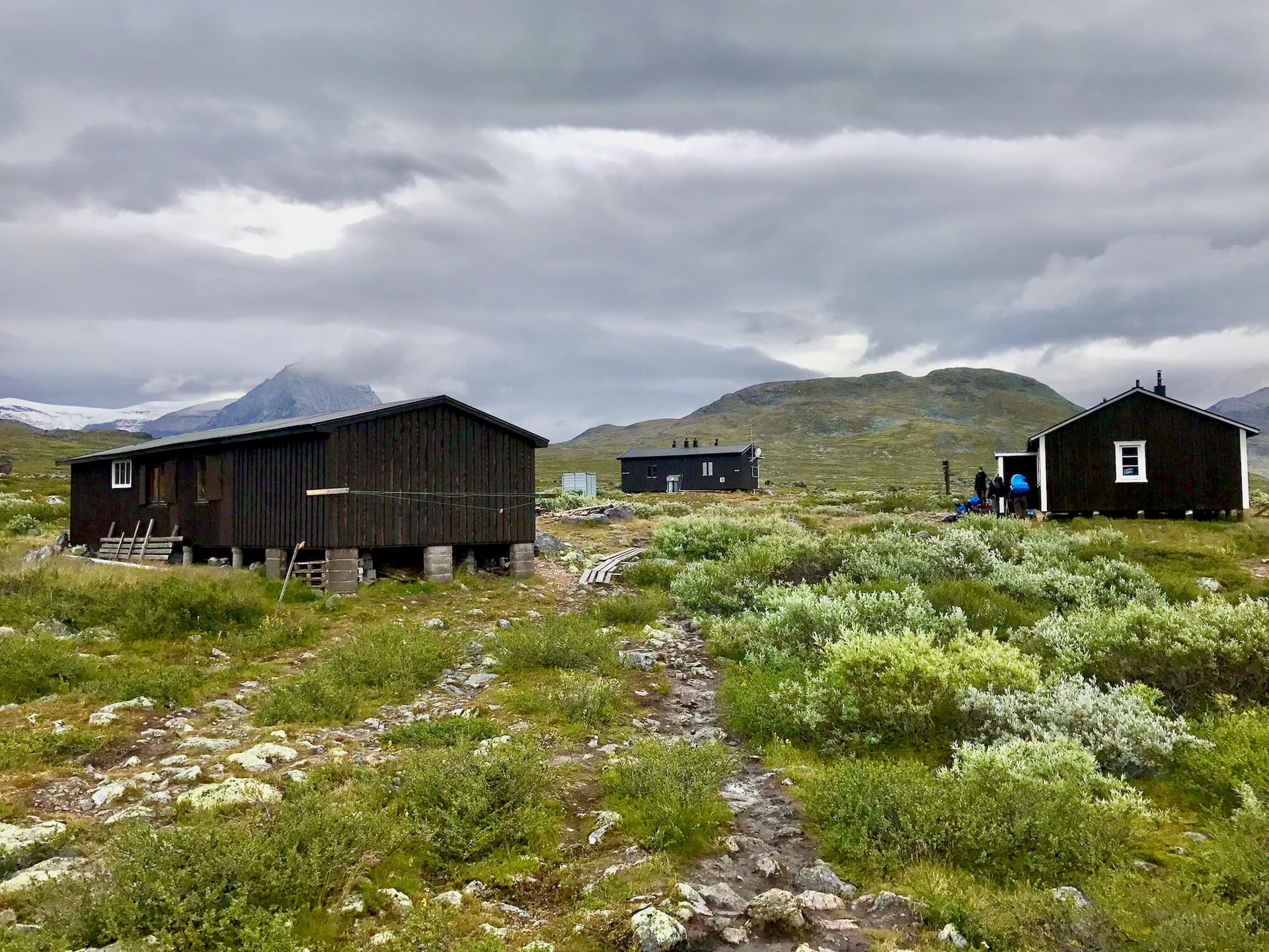
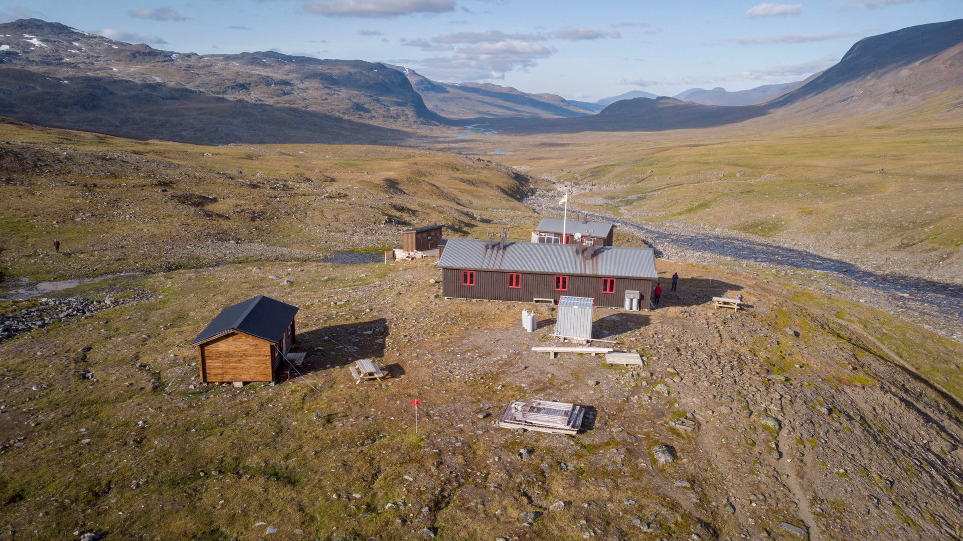
Thirteen kilometres on, tucked under the pass, and the smallest cabin here, and no shop. If you have not bought food at Alesjaure, you carry it over the pass.
It is also the hut you may be glad of. When the pass is in cloud, Tjäktja is where you sit and wait, and the wardens here are used to telling people to do exactly that.
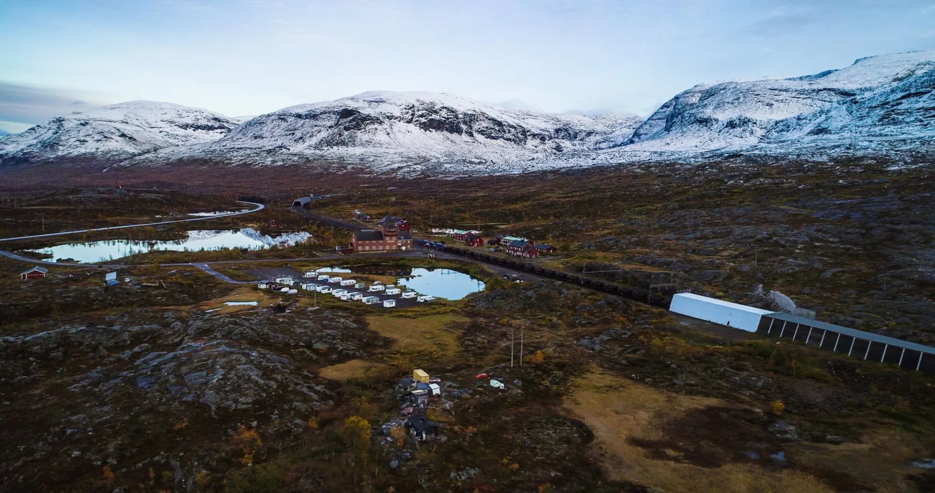
The setting explains the trail's logic in one look: a handful of red buildings alone in a wide valley, with the saddle visible above them.
Sälka
Over the pass and 12.5 kilometres down the far side, in the Tjäktjavagge with a shop and one of the better saunas. Most people arrive relieved, because the hard day is behind them.
Sälka is the natural place to reset. It is the last shop on the walk, the sauna is the best of the week, and from here the trail is downhill in character even where it is not downhill in profile.
Singi
Twelve kilometres on, and the junction. The Kungsleden proper carries south from here while the branch east goes to Kebnekaise. There is no shop at Singi, so the last resupply before the walk out is Sälka.
The count needs one qualification. STF lists six places to sleep on this section because it counts Kebnekaise Fjällstation, which is a staffed mountain station rather than a hut, and this guide keeps it separate for that reason.
Hut Rules and Chores
The huts are self-service, and that word does more work than people expect. There is no electricity and no running water. You fetch water from the stream, carry firewood from the shed, cook on a shared gas stove and sweep before you leave.
Nobody is turned away. Book ahead and your bed is guaranteed if you arrive by six in the evening. Turn up without a booking and you are given a space after six, which may well be a mattress on the floor.
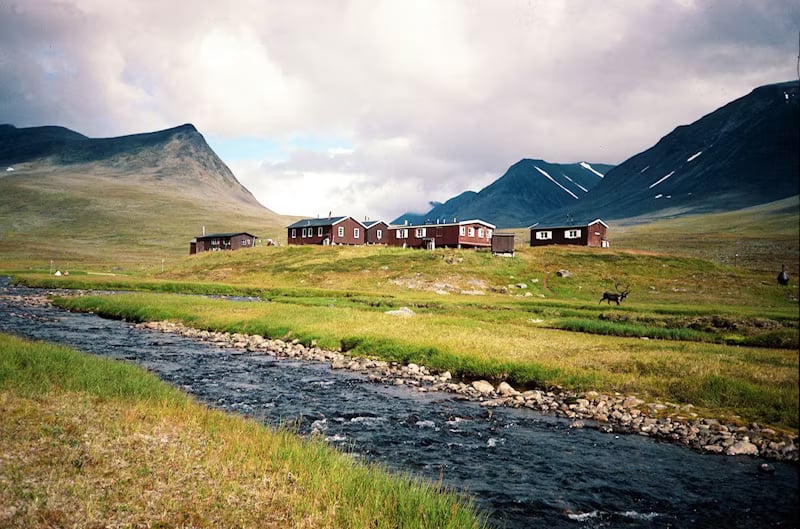
That rule is the most useful thing to understand about this trail. In late July and August it means arriving before six matters more than walking fast, and it is why the 21-kilometre day is best started early.
Bedding is not provided, so bring a liner or a light sleeping bag. Lighting is candles and your head torch, so a power bank is not optional across a week with no sockets. Most huts have a wood-fired sauna, and the etiquette is to take it in shifts and leave the water buckets full for whoever follows.
What This Trail Asks You to Carry
The hut system changes the packing list more than the latitude does. You carry food, not cookware, because every hut has a kitchen with pans, and you carry a liner rather than a full sleeping bag if you are sleeping inside.
What you cannot skimp on is weather. There are no trees above Abiskojaure, so a jacket and overtrousers that hold up in sustained rain matter more than they would in the Alps, along with a warm layer for evenings that are cold even in July.
The rest is small and specific: a head net from late June, gaiters for the snowfields on the pass, a power bank for a week without sockets, cash in kronor, and boots already broken in, because the boulder fields punish new footwear.
Camping Alongside the Trail
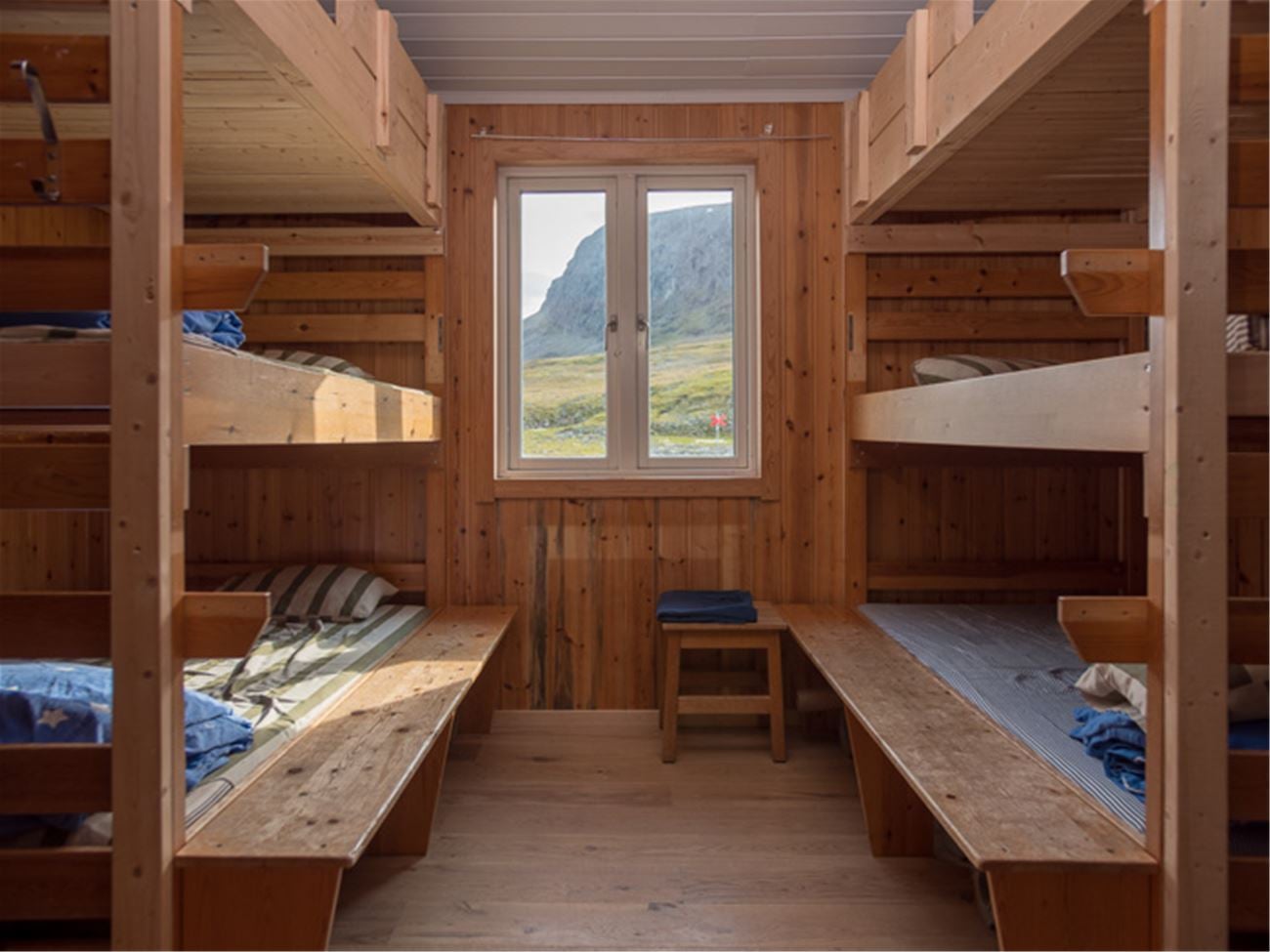
You can walk the whole thing with a tent and never book a bed. Allemansrätten allows one night's pitch on uncultivated land, and the fjäll north of Abisko is about as uncultivated as Europe gets.
Two limits matter. Abisko National Park restricts camping to marked areas, so the first night is not a free-for-all, and pitching beside a hut to use its sauna, shop or kitchen carries a service fee.
The trade is comfort against weight. A tent buys independence from the six o'clock rule and from a full hut in August, and costs you several kilograms and the stove that dries your boots.
When to Walk It, Month by Month
The huts open around midsummer and close in late September, and that is the whole season. Outside it the Kungsleden is a winter route needing skis, marked by tall crossed poles rather than cairns.
June gives you the midnight sun, which at Abisko runs from about 27 May to 18 July, with snow still lying on the Tjäktja pass. Early June can mean crossing snowfields on the descent.
July is warmest, busiest and the mosquito peak, so pack a head net and read our guide to surviving midges on a hike. It is also when the huts fill.
August is the most reliable walking, with one exception: the Fjällräven Classic sends around 2,000 trekkers from Nikkaluokta to Abisko in the second week of August.
September is the connoisseur's month. The birch turns yellow, the insects give up, the huts empty and the aurora returns, at the cost of frost and shorter days. The dark comes back quickly at this latitude, so a head torch stops being optional and the last huts close while the colour is still at its best.
Getting There and Back
The trailhead is easier to reach than its latitude suggests. Fly to Kiruna, or take the night train from Stockholm towards Narvik, which stops at Abisko Turiststation, minutes from the gate. Engineering work has disrupted the northern line in recent seasons, so check the timetable before you build a plan around it, and treat the sleeper as the better arrival either way.
Coming out, the Nikkaluokta Express bus runs to Kiruna, about 66 kilometres east, for the airport and the railway. Build a night into Kiruna rather than trusting a same-day connection after seven days on the trail.
Carry Lantmäteriet's Fjällkartan BD6 on paper with a compass. Phones fail in cold and wet and there are long stretches without signal, which is also why you tell someone your hut plan before you start.
What the Kungsleden Costs
The trail itself is free. There are no permits and no entry fee, and the right of public access covers a night in a tent.
What you pay for is beds and extras. Each hut night carries a fee, membership of the Swedish Tourist Association reduces it, and booking ahead costs less than paying on arrival. The boats, the hut shops and the sauna are separate again.
Cards work at most huts, though a signal is not guaranteed, so carry kronor in cash. The Swedish Tourist Association publishes the current rates.
Walking It With Us
Distance: 12 to 21 km a day, about 107 km walked
Ascent: 150 to 520 m a day
Sleeping: six nights in the mountain huts, self-service so you cook your own food, and two hotel nights with breakfast
Season: June to September
Grade: fitness 3, technical 3
Our Kungsleden Trail trip books all six nights on the trail, the five self-service huts plus the mountain station at Kebnekaise, and puts a hotel at each end. You still carry and cook your own food in the huts. That removes the two things that go wrong on this trail: a full hut in August, and a departure that does not line up with the Kiruna flights.
We grade it fitness 3 and technical 3 out of 5, and the technical figure surprises people who have read the elevation profile. Our hiking difficulty guide explains the scale.
Frequently Asked Questions
Planning Your Kungsleden Trek
If you want the Arctic without the logistics, our Kungsleden Trail trip books the huts and the transfers and leaves you the walking. Go in September for colour and quiet, or June for light that never ends. If you would rather ride it, our sister brand covers cycling in Sweden.
Still deciding between this and Sweden's gentler southern trails? Our Sweden hiking guide sets them side by side.
Questions about dates, fitness or the pass? Get in touch with our team and we will tell you straight whether the week suits you

About this author
Jon is our travel advisor and an outdoor adventurer who is happiest on the move. While mountain biking is his personal passion, he thrives on crafting hiking adventures for others — planning routes and adding the little touches that turn a trip into a core memory.













.jpg&w=828&q=75)












































.jpg&w=828&q=75)























